Two weekends ago I went out hiking on a portion of the Blackhead Range, known for it’s Rooster Comb that it visible from most of the Catskills and Albany. Heading down there, I missed the turn-off to Barnum Road, which is a side road marked with a “Forest Preserve Access” sign from County Route 40, just as you head south out of Maplecrest.
The first part of the trail follows the right of way of the Old Barnum Road, until you access the Blackhead mountain Wilderness, and the kiosk welcoming you to the trail.
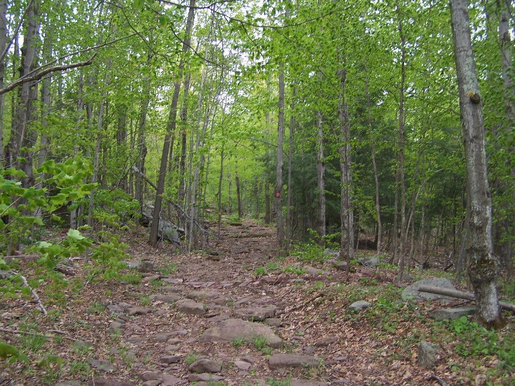
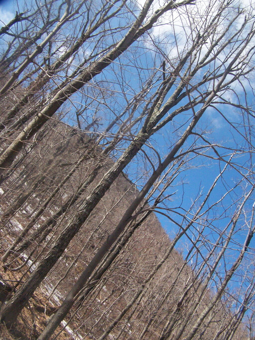
The trail up the mountain starts out gentle, then follows a series of switchbacks.
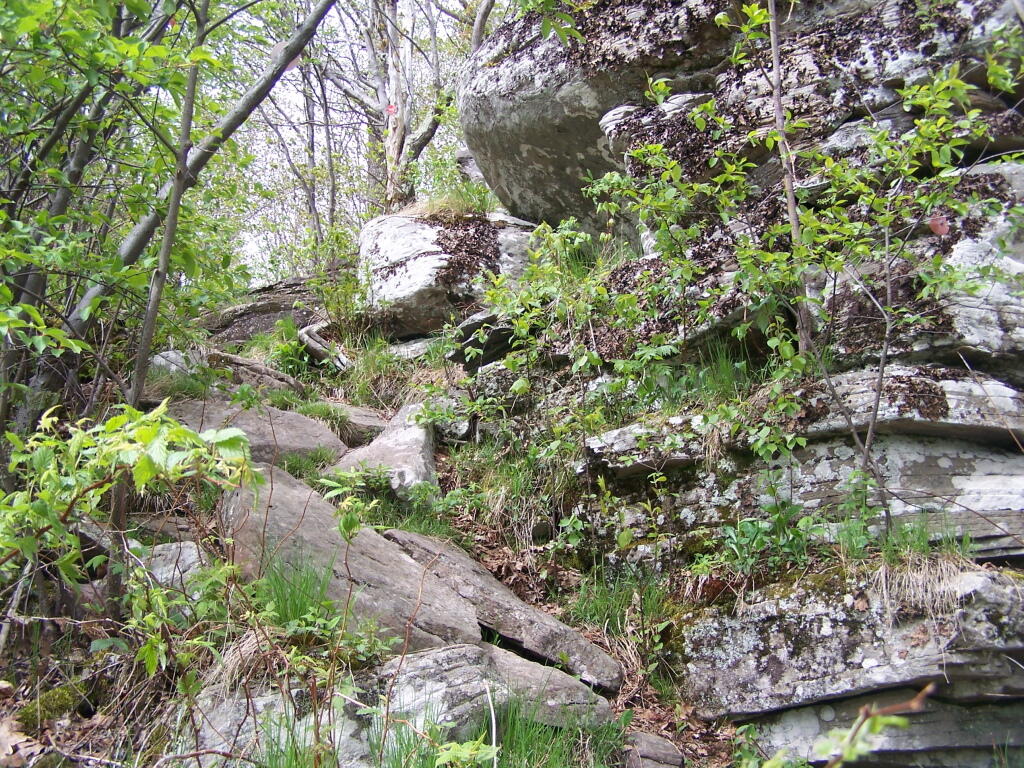
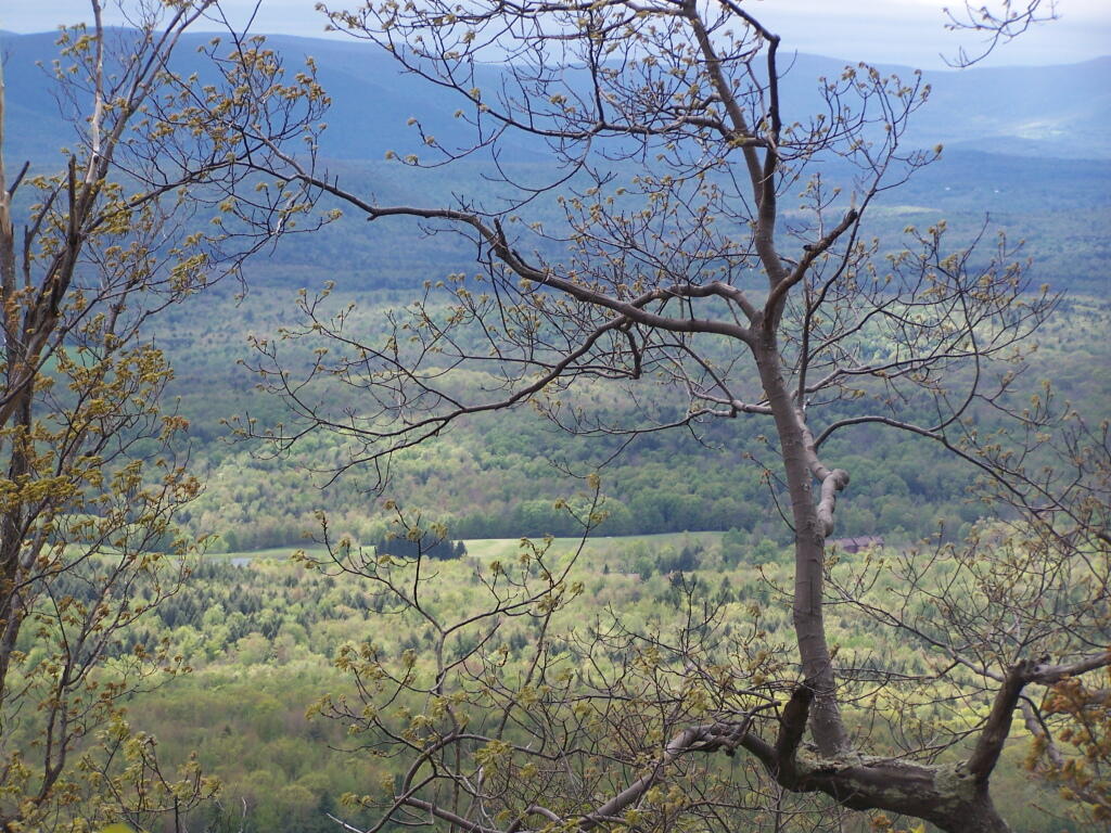
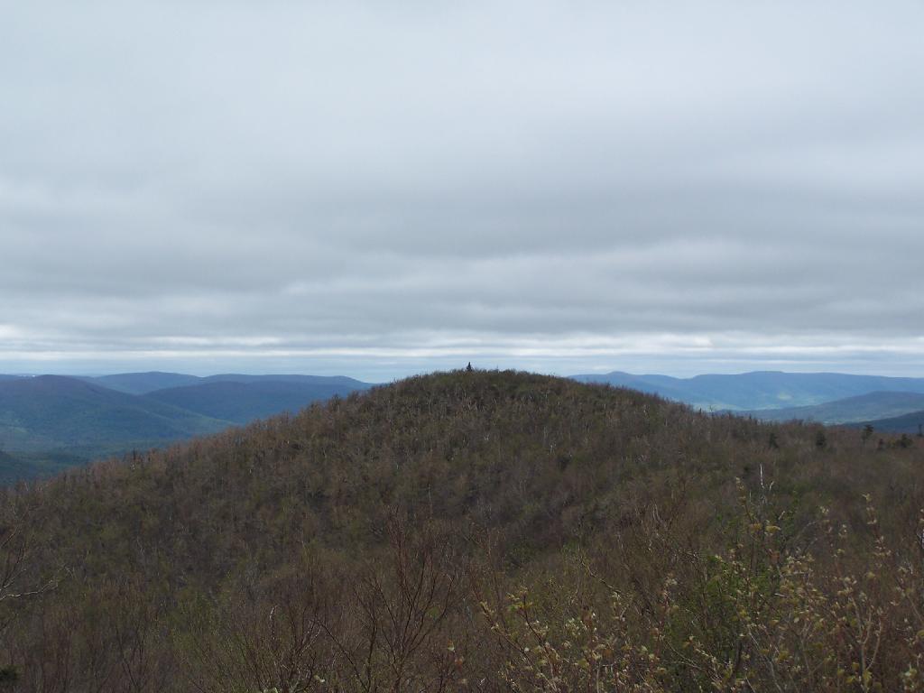
Then there is one steep portion, with some beautiful broken views of the East Kill Valley.
And of Devil’s Clove.
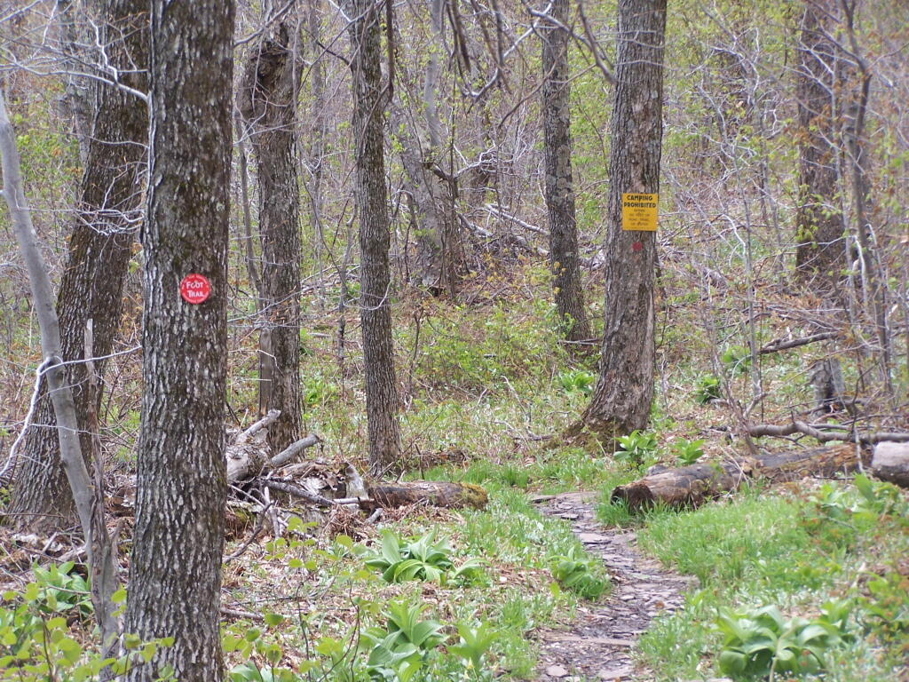
One you reach the unnamed mountain west of Camel’s Hump, the trail is relatively flat, with signs reminding people not to camp too close to the trail.
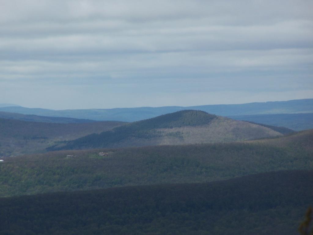
Looking at Camel’s Hump with Blackhead in the background.
Reaching the top of Camel’s Hump.
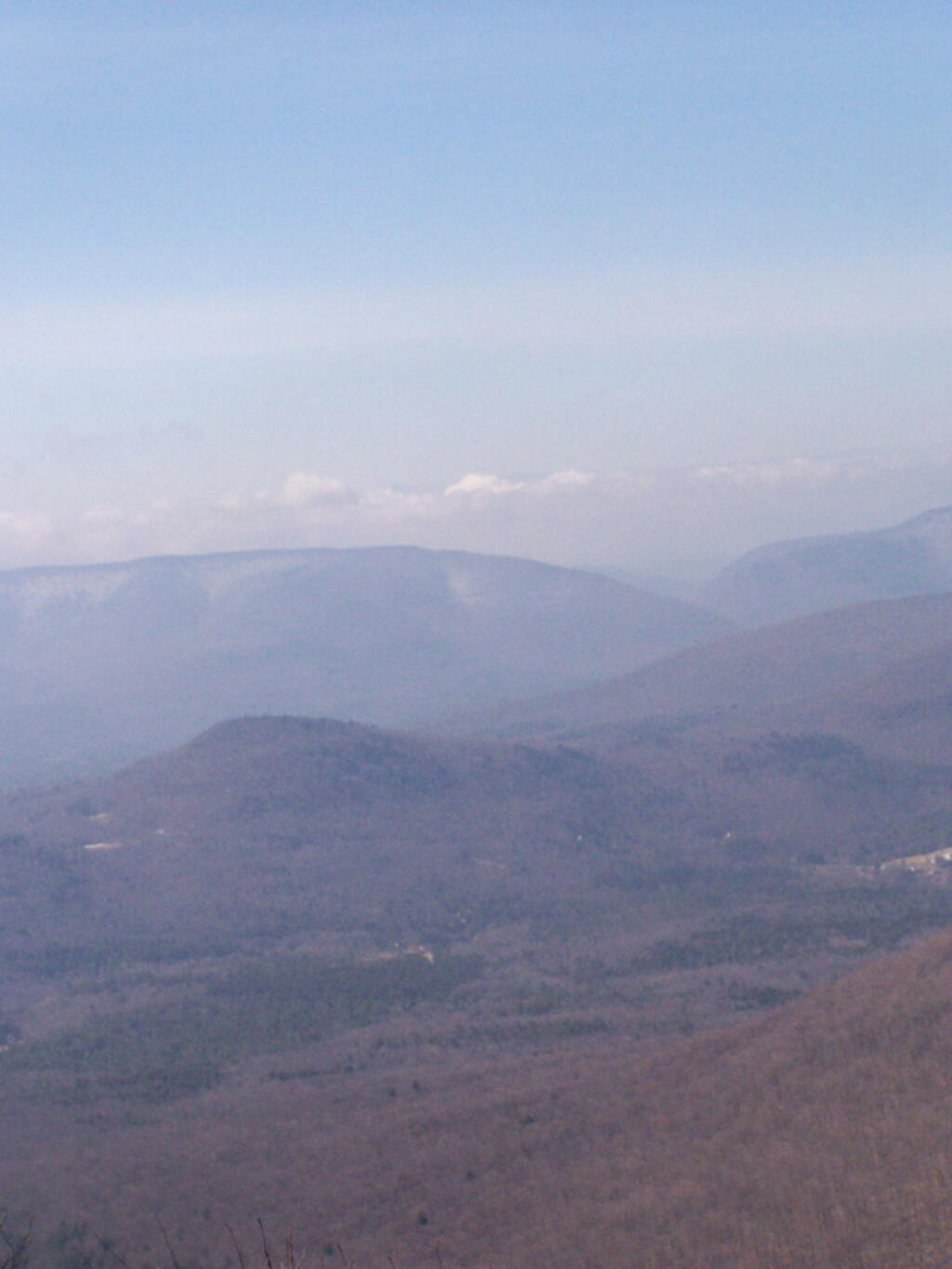
Looking off Camel’s Hump at Mount Hayden and the ridge you see to the north-west of Windham Mountain.
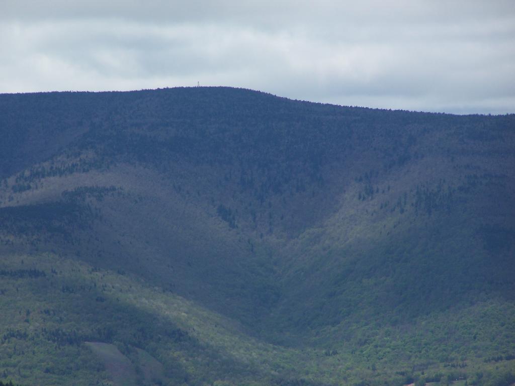
Thomas Cole Mountain’s “Black Head” from the Pine Stand, as seen from Camel’s Hump.
North-West from Camel’s Hump you see Acra Point and Huntersfield Mountains.
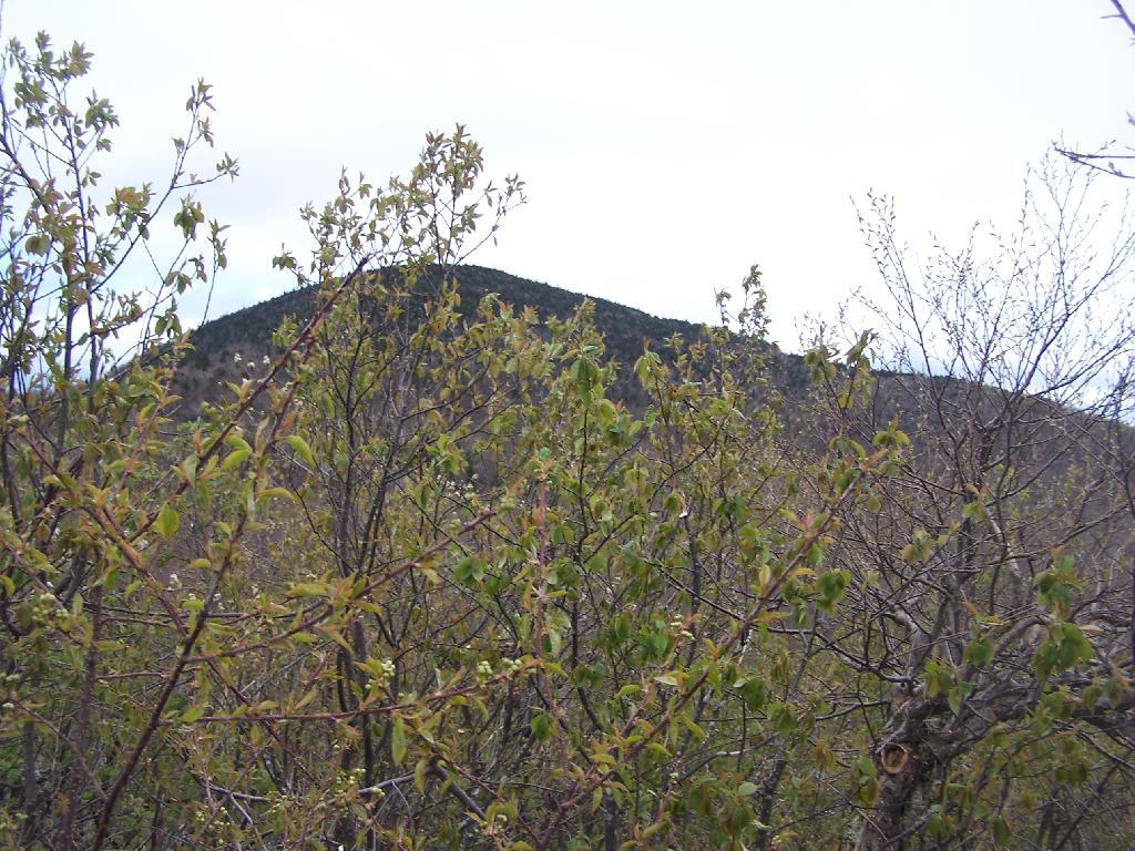
The flat “col” between Thomas Cole and Camel’s Hump, with Thomas Cole in the distance.
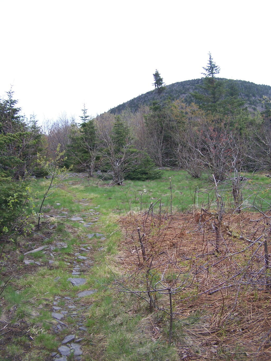
Looking at Camel’s Hump from Thomas Cole Mountain’s clearing.
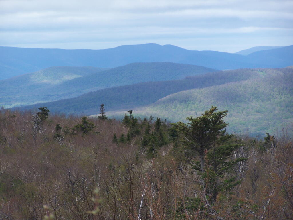
From the Thomas Cole Mountain’s clearing, looking at Hunter Mountain and how the bottom of the mountain is bright green, while the top of the mountain is largely leaf less.
The view of Evergreen Mountain, and the valley to the west of Hunter.
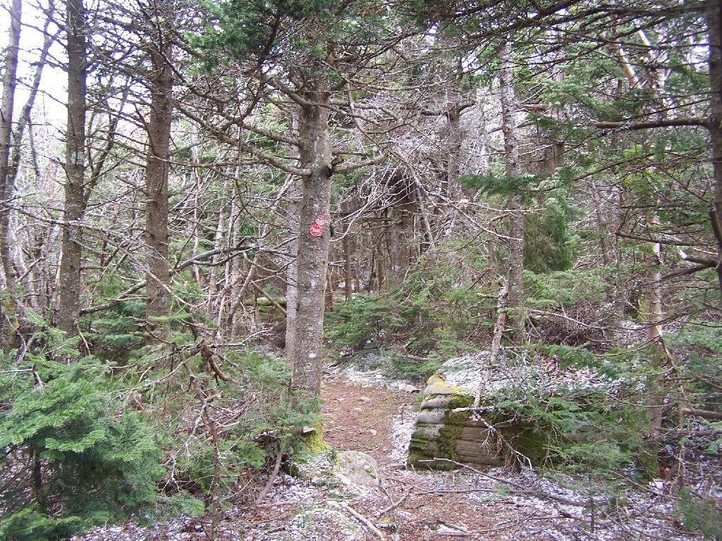
The dense pine forest a top of Thomas Cole, with some snow remaining.
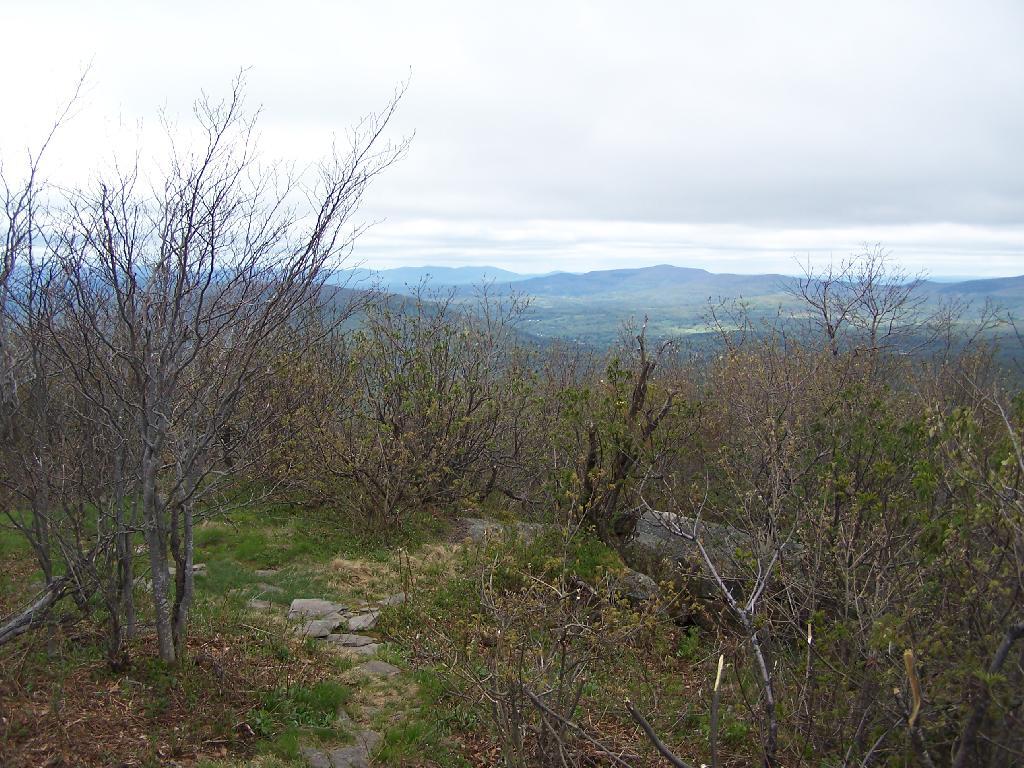
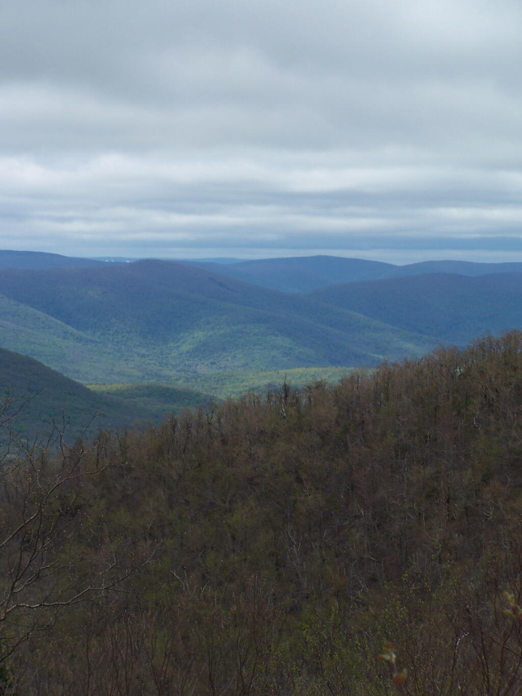
A broken view of Burnt Knob from Thomas Cole Mountain.
I arrived at the trail head off Big Hollow Road around 7 AM. I had set my alarm clock early, so I could get up the peaks early, and get some really good photographs. I also had wanted to get back early, so I could be back in Albany to do some political canvasing for Scott Murphy. While the later did not happen, as I was running late, the trail up the mountain was flat for the first 3/4 of a mile, then grew somewhat progressively steeper, as the red Black Dome Trail made it up to to the Yellow trail, the Blackhead Mountain Trail.
It was icy on parts of the trail, particularly as it went further uphill. Then the trail went far enough south to get beyond the very distinctive snow line. There was no snow or ice beyond this line, where the sun gets to the longest part of the day and without the cold northern winds. After the intersection, I went west towards Black Dome. I passed the 3,500 ft elevation sign. The trail gets steeper, and then it seemed to head just far enough north get back in the snow line. It was a bit slippery, but not too bad. Nice southerly views, a bit with trees blocking it.
Then the trail becomes steeper, climbing up a notch in a rock face. A little more snow and ice, then it gets in the woods, and becomes very icy, with the ice melting in the woods. The trail wasn’t all that steep at this point, but I decided not to continue up, and risk getting injured. I turned around, about 100 feet from the peak of Black Dome. I will return to this mountain after hiking up Thomas Cole once the weather warms and the remaining ice is gone.
I then descended Black Dome and continued up Black Head Mountain (the most easterly peak of TriMount). The trail up that was amazing, with some great westerly views, which I was fortunate enough to get some amazing pictures from. I made it up to the top of Black Head Mountain, and the Northern Trail / Escarpment Trail off the mountain was too icy to take back down. It was good insofar as it gave me more opportunities to take pictures on the way down from Black Head looking south-west. Amazing to see all the mountains. Made it back down to the truck around 1 PM.
This DEC trail map I photographed may also be of assistance.