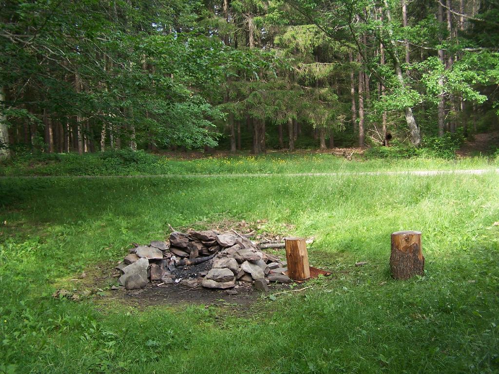
On the maps of Burnt Rossman, and in the plan for this area, there is a primative campsite. While unmarked there, there are two developed campsites along the pond with stone-built campfire places, and some places where horses have been staked down in the past.
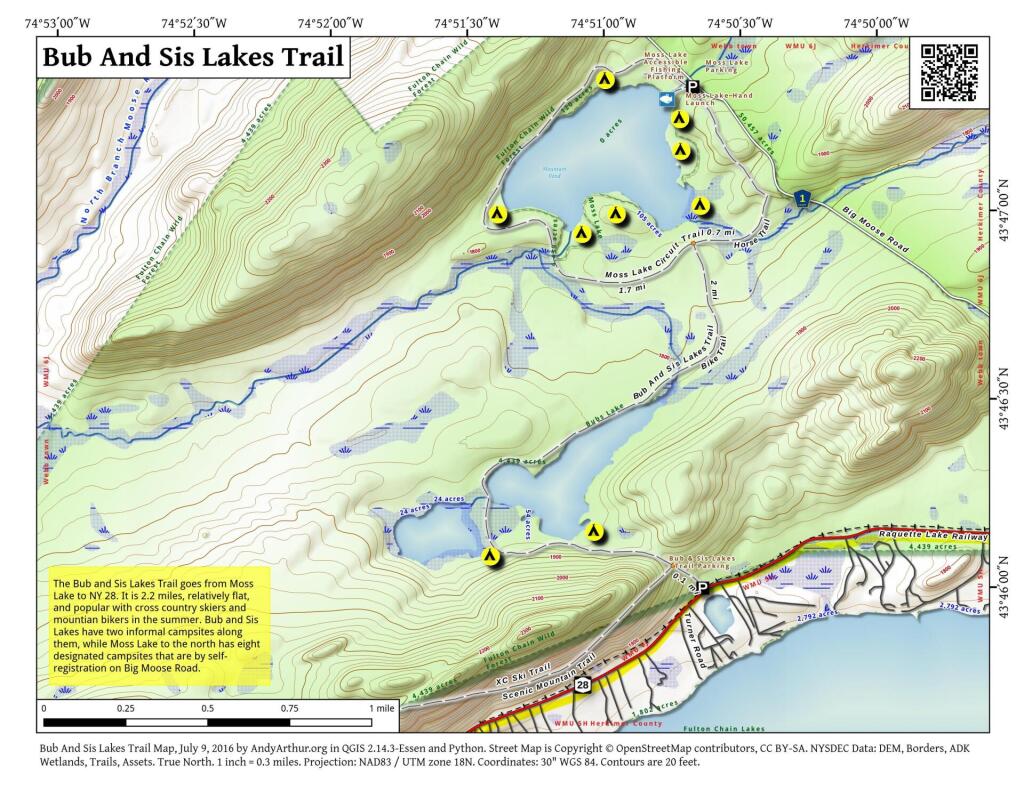
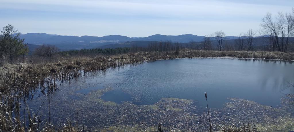
Duck pond which is mostly a swamp, is quite pretty in the evening. The bugs really weren’t that bad.
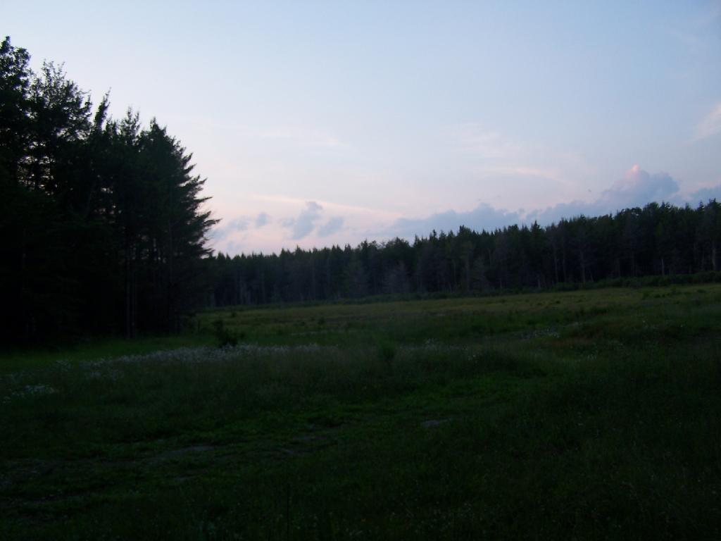
Cleaning up after dinner in the evening.
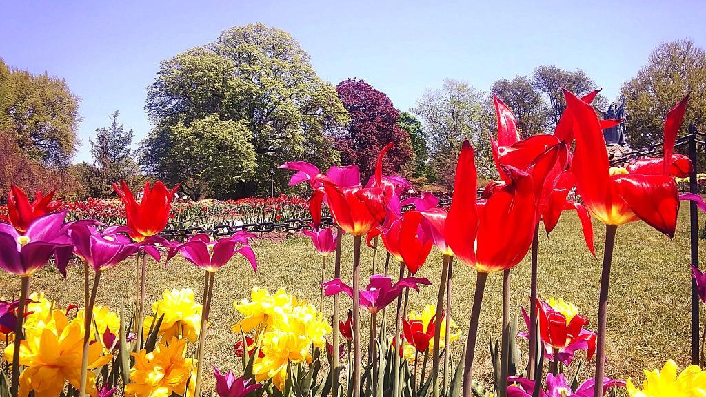
The wildflowers where in full bloom in late June when I was camping out there.
Near the campsite is a monument commemerating Charles Hopkins, the first Forest Ranger who maintained these 13,000 acres of state land.
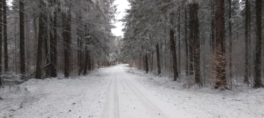
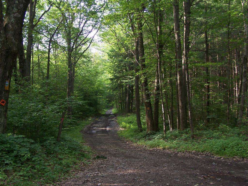
In the morning, I drove south toward Blenhium on the rather rough part of the Duck Pond Truck Trail, which becomes much rougher after Duck Pond.
While I camped out there all night, I only saw one car in the morning driving by.
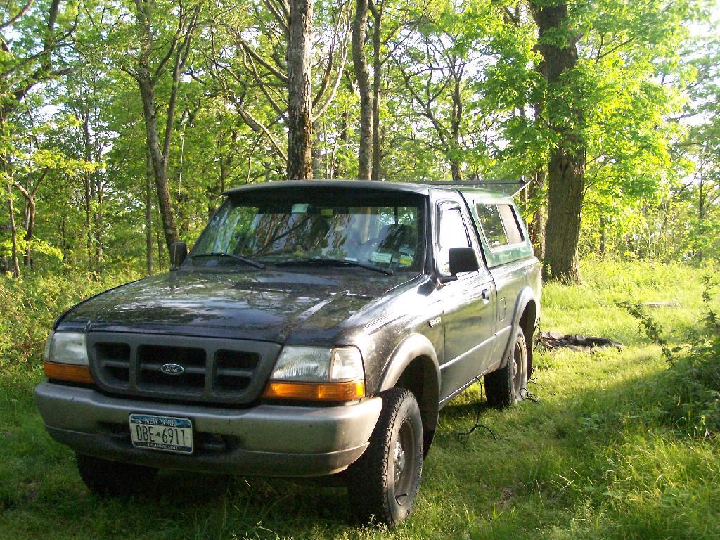
I have camped out plenty of times in the past in lean-tos and in tents in the wilderness. Yet, it’s not a regular thing, but more of an occasional thing. I much prefer camping out in my truck for the simple fact: I like having electricity.
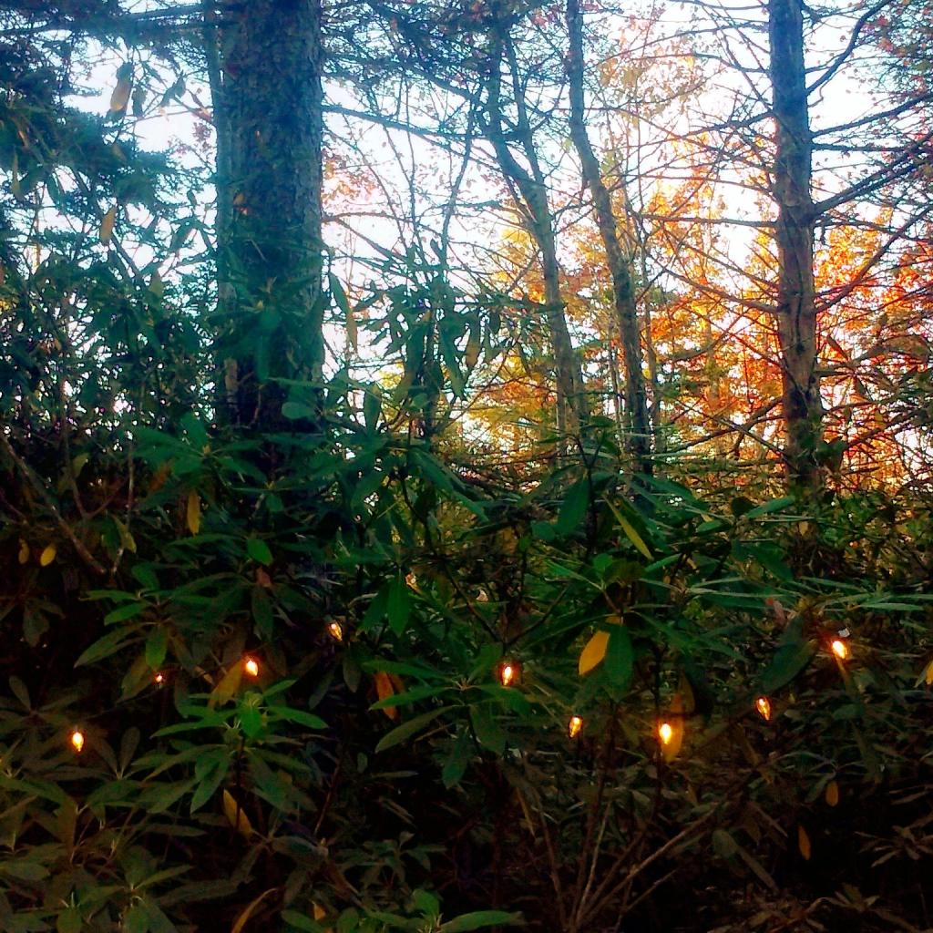
As I’ve noted in the past, my truck has a 800-watt inverter hooked up to the battery, which provides electricity for my clock radio and lighting. I usually bring a string of LED Christmas lights for charm, but then also have a desk lamp with a 9-watt florescent light (equivalent to a 40 watt incandescent), along with two other 26-watt florescent lamps (each equivalent to a 100 watt lights).
It turns out that those lamps put out a lot of light. When I hear a bump in the night, or just need to run outside, I can turn on the lamps, and instantly have a lot of light. While a florescent lamp the size of 100-watt incandescent bulb might not seem that bright, as in a large well-lit room, in a darkly lit woods, they are very bright.
I usually use just a well focused 40-watt equivalent florescent bulb in my desk lamp for reading in the woods. I find it hard to read with a flicker of my white gas lantern, which also tends to be dimmer then the electric light, especially after white gas lamp starts to run lower on fuel, and needs to be pumped up again.
Indeed, one my favorite things to do when camping is reading. It one of few places I can enjoy the quiet without the distractions that are normally around. I find to read at night for hours, I need a good source of light to do it without eye strain I get with a lantern.
Electricity also powers my truck’s radio, along with a clock radio, chargers, and even a portable fan. It’s nice having music at night, and a fan to cool you. I like listening to the radio throughout the night, as it proves to be a good companion. You can get some of the strangest radio programs — right-wing christian talk shows — when your up in the woods.
Some people will say camping in the back of a pickup truck, with half a dozen things plugged is not real camping. Yet, it provides enjoyment, and a chance to get away from it all, and still provide the light and power I need or at least want to have a night.
On June 20, prior to going out to the folks house, I decided to go for a little walk at the OSI Parcel of Thacher Park, from Carrick Road down to High Point, then to Hang Gliders’ Point. While very hazy, it still was a beautiful day.
Parked at the old Blue Stone Mining Pit, with the “Stone Sculptures”.
At the 3 Mile Ski Trail Loop Intersection.
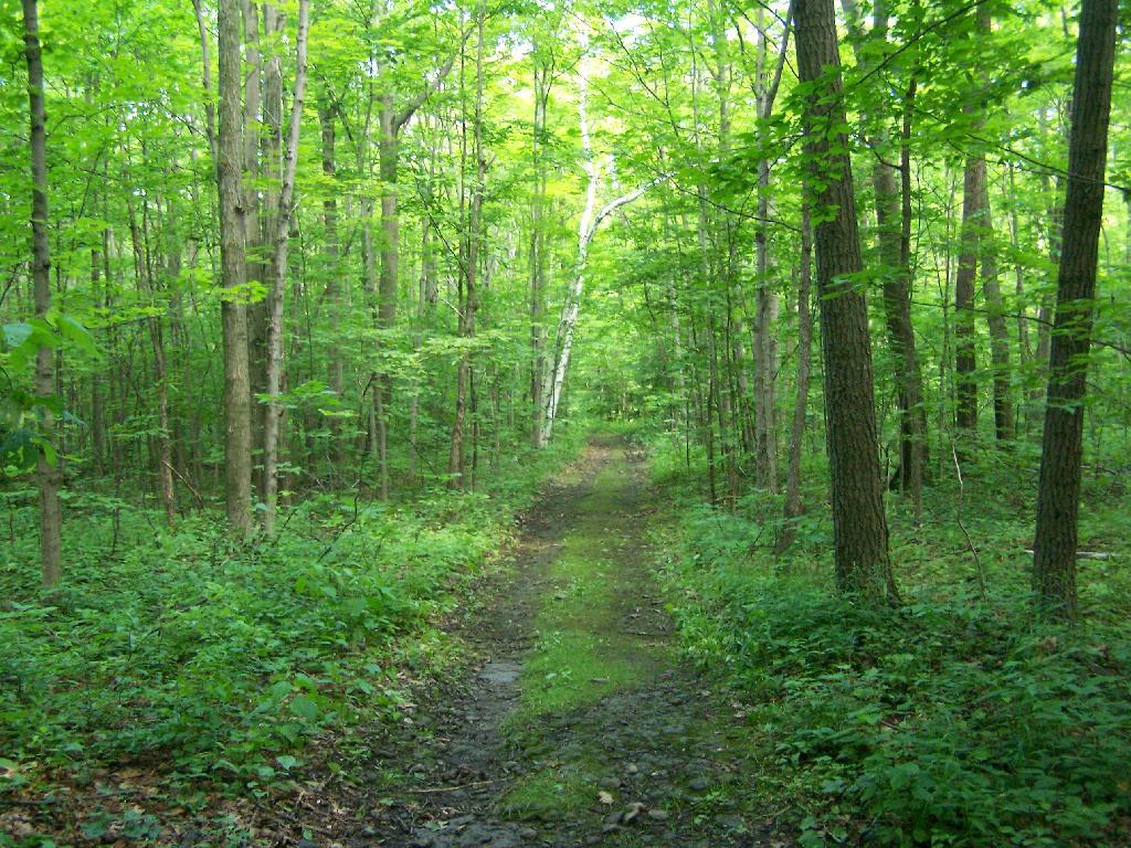
Hiking down an old-woods road that I accidentially followed too far and went right past High Point.
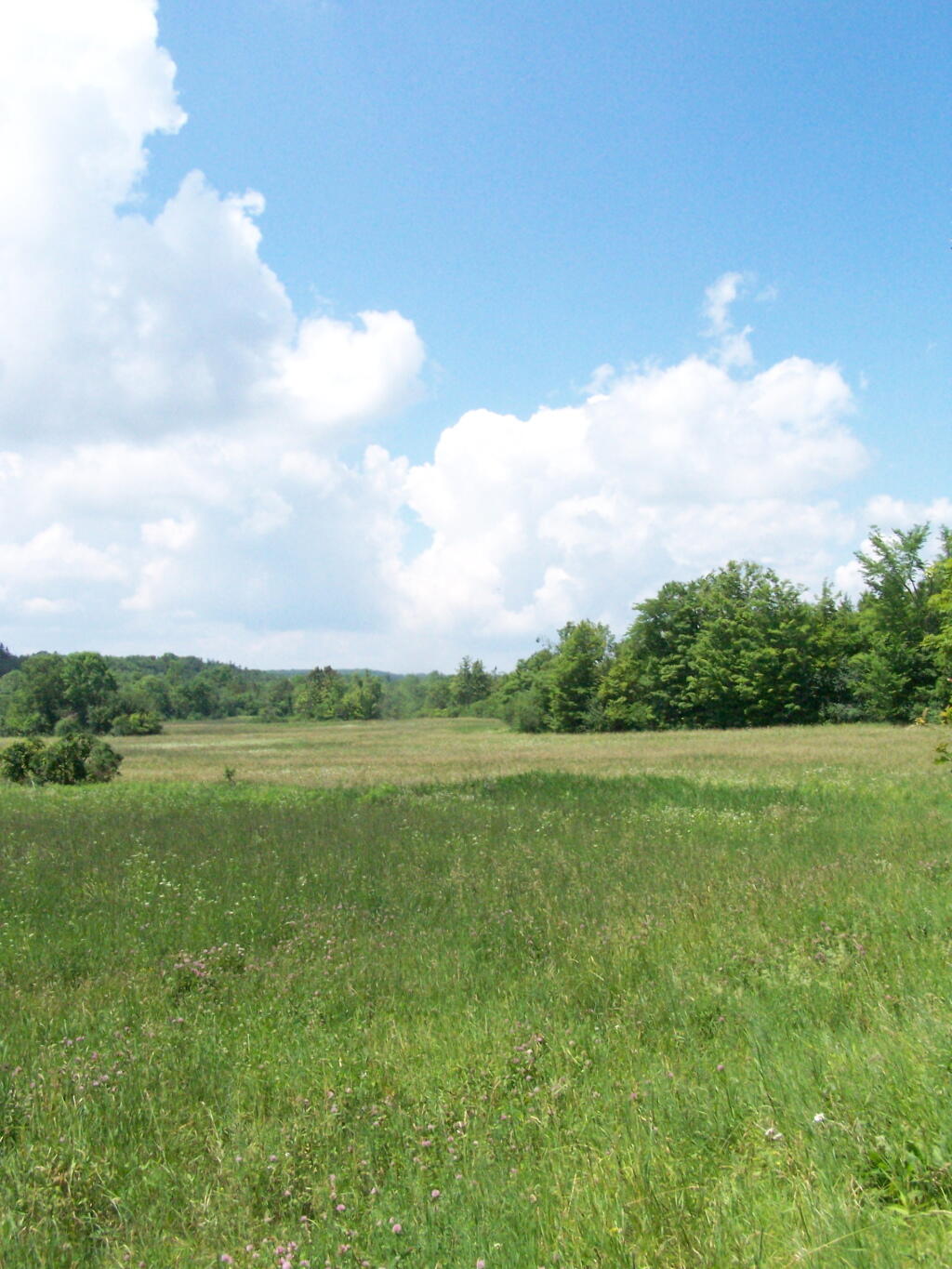
I ended up in this big hay field bordering the OSI Parcel that has a trail running through it via a landowner easement.
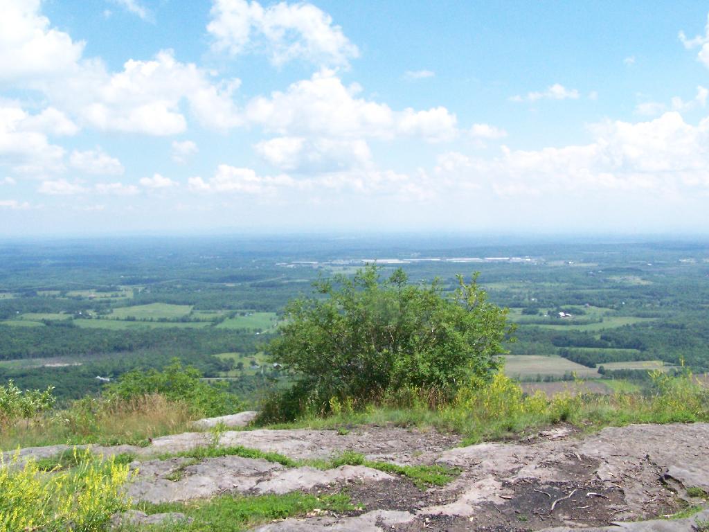
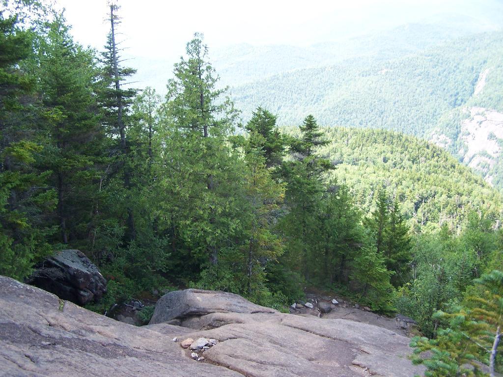
And I finally found my way to the High Point Overlook, in the haze.
Looking down over the Altamont Fair Grounds.
You could see the corn just starting to pop up along Brandle Road in Altamont from the overlook.
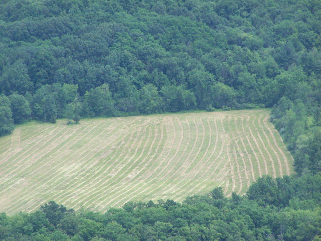
And where a farmer had just cut some fresh hay below.
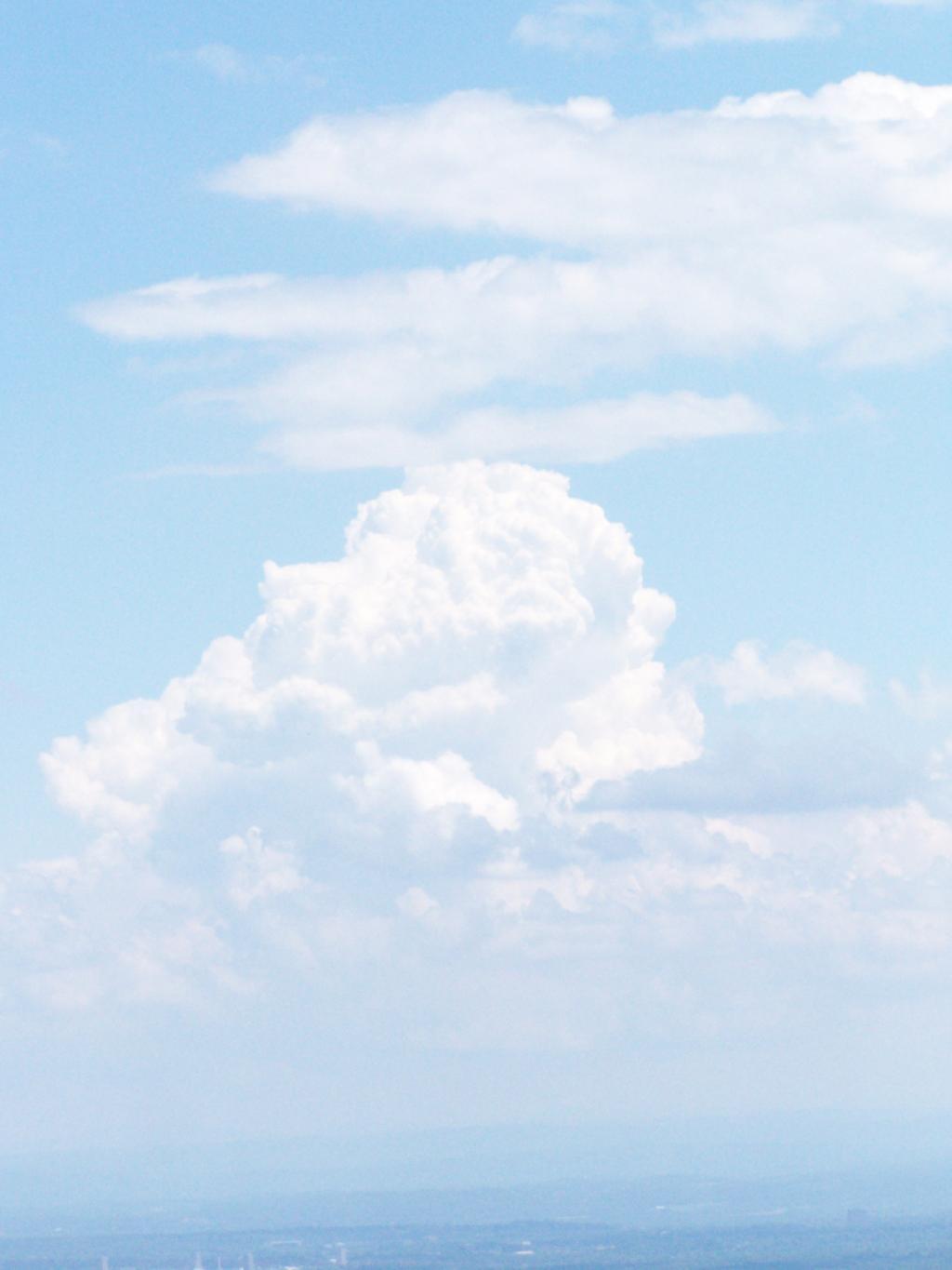
A pretty cloud.
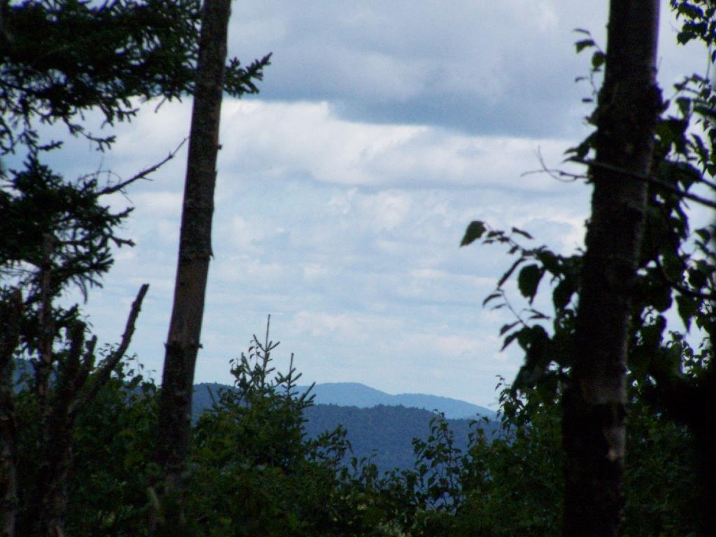
Looking off High Point onto land below.
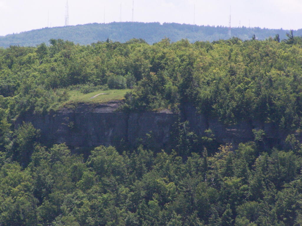
Hiked over to Hang Gliders’ Cliff.
View from the unmarked trail to Hang Glider’s Cliff.
A Hang Gliders’ Cliff.
Low clouds hung out and over Settles Hill.
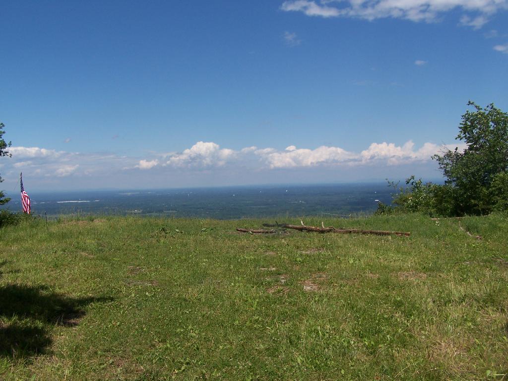
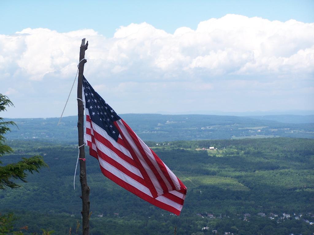
Somebody had hung a flag at Hang Gliders Cliff.
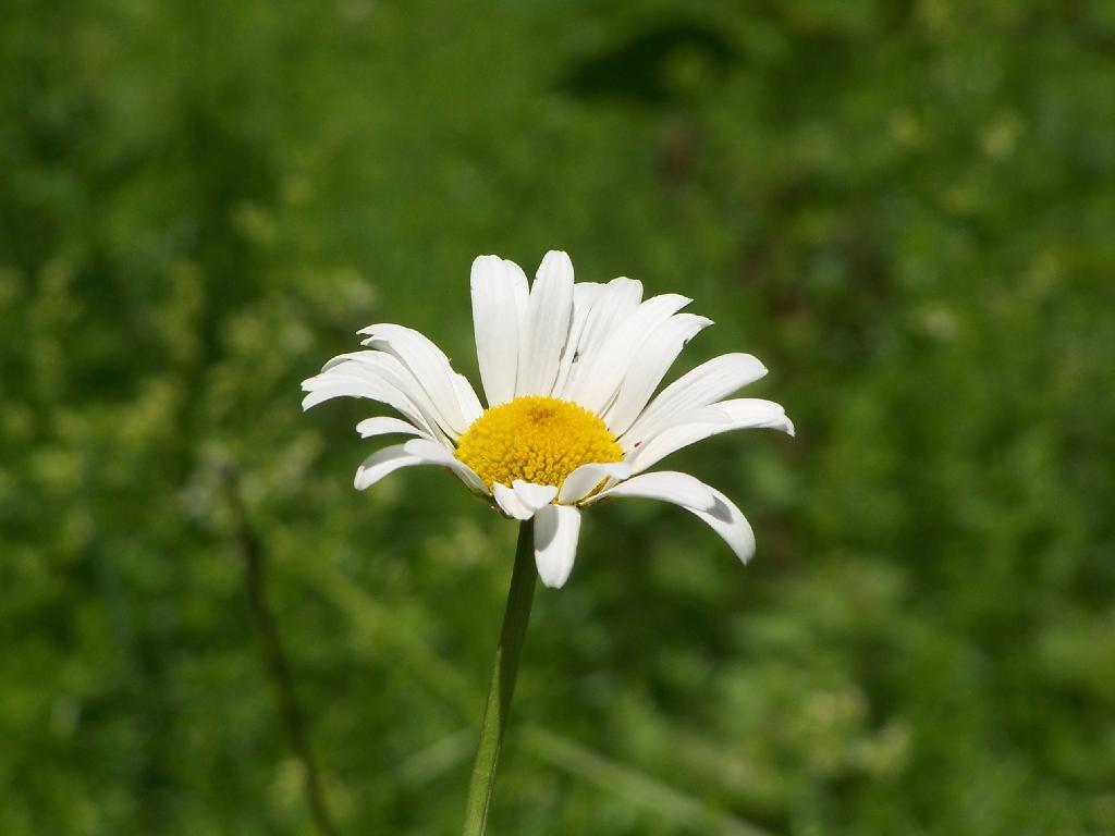
Hiking back to the pickup truck saw this cute little flower.
It was hot! Yet, it was nice to at least get out and do a lot of hiking during this very hot and humid weekend.
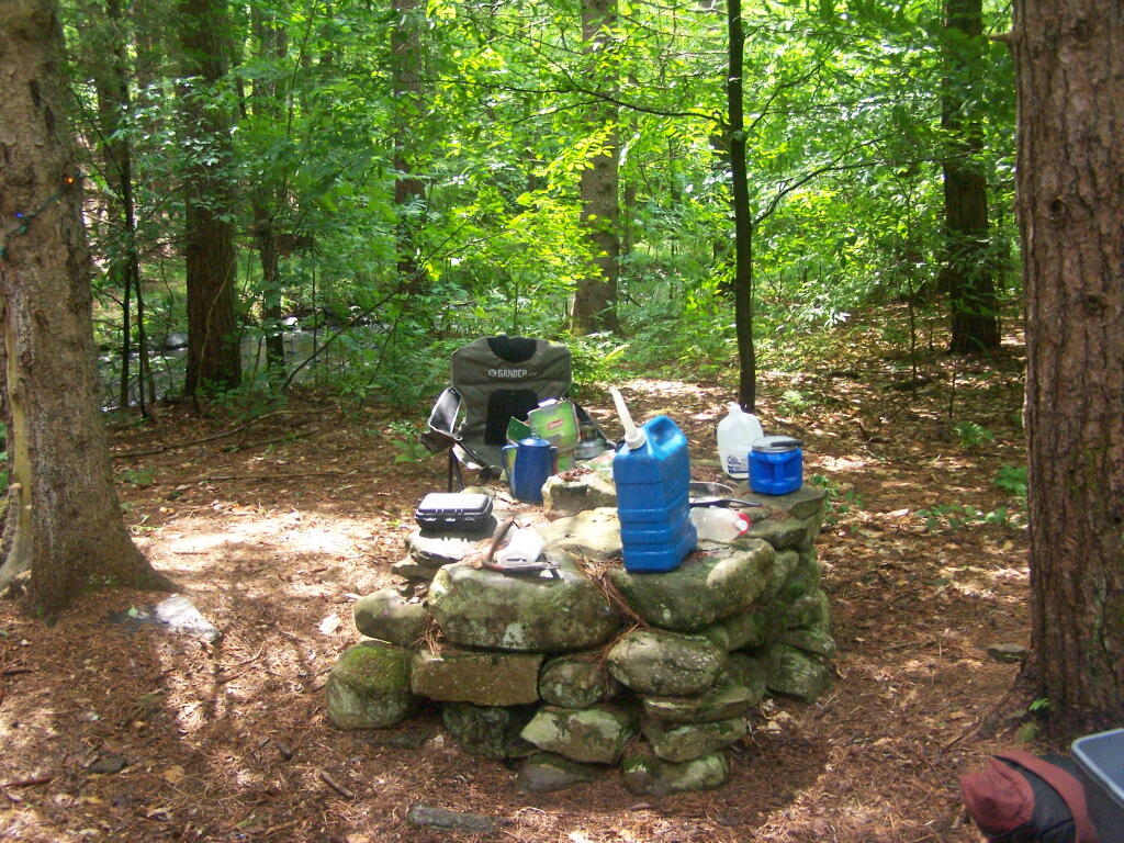
My truck broke down on Memorial Day Weekend heading out to Burnt-Rossman State Forest, losing it’s brakes once again. After finally getting them fixed, I got out there for the first weekend of June 2010. I wanted to camp up top of Eminence hill, but due to logging in that area, I settled to camp down in my old favorite place, the small primitive campsite along Betty Brook.
At first, I couldn’t find any dry matches. But then after an hour stumbling around with the cigerette lighter in the truck, and a box a wet matches, I got some paper started, and off I went cooking dnner.
Not much has changed at this camp site from last year, or actually in early April when I last camped here. Things are a bit more green for sure though.
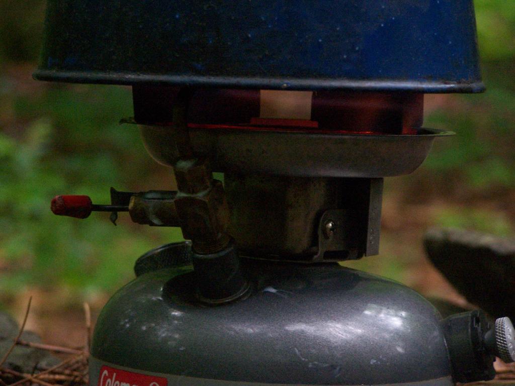
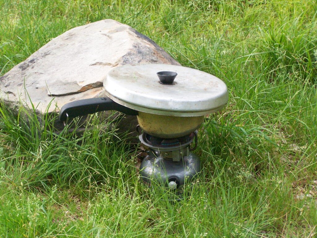
I was quite happy to see that my little white gas stove was well behaved, and not leaking. Last year, when I was cooking something, the gas valve leaked, and the stove’s gas valve and I think also tank caught on fire (!!) I moved the stove away from everything, and fortunately it did not explode.
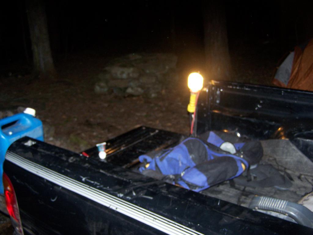
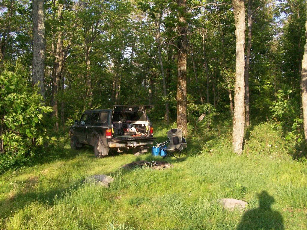
At night, space is a little tight, so I have to stick all my crap up in the cap of my truck. It’s not a great situation having so little space, but I guess it works okay for now. In a thunderstorm, I can still get into the drivers side, despite having a lot of the camping crap packed in passenger side.
Despite the heavy rain in the morning, it was a nice night up there. From here, I went over to Luthernville State Forest and Clapper Hollow State Forest to explore some of those lands, in my truck.
Here is a map of Betty Brook, in case you don’t know where it is by now. Next time I camp up here, I will probably camp either at the lean-to or up by Doney Hollow Pond on Burnt Hill Road. I haven’t camped up there since Labor Day Weekend 2006.
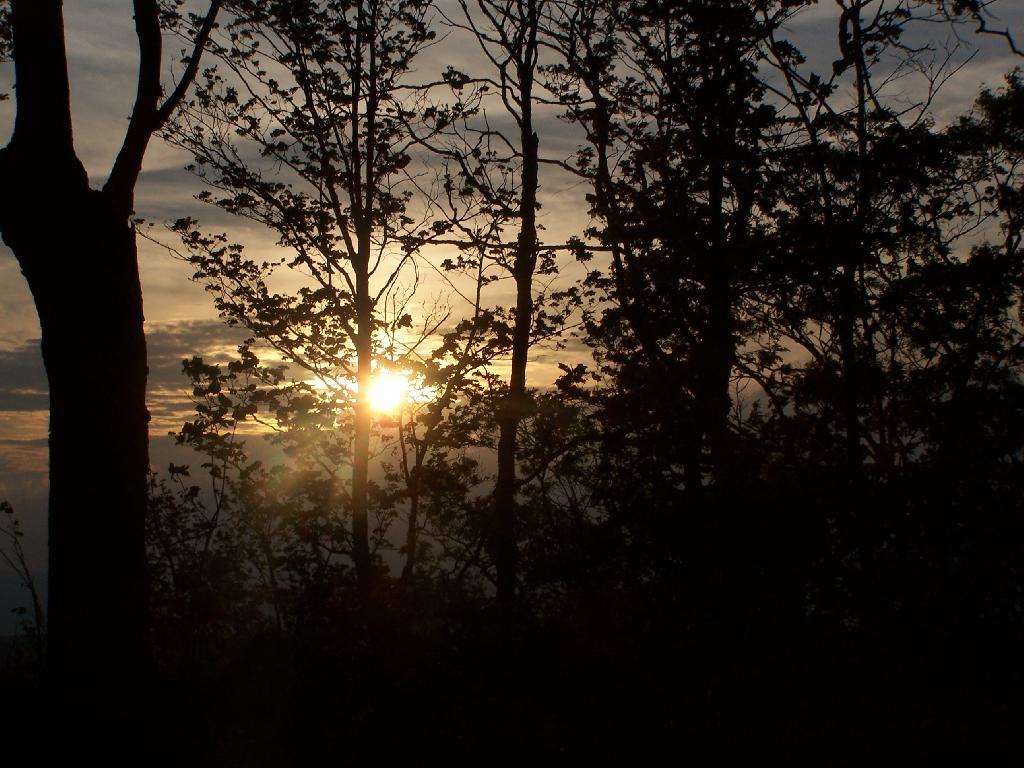
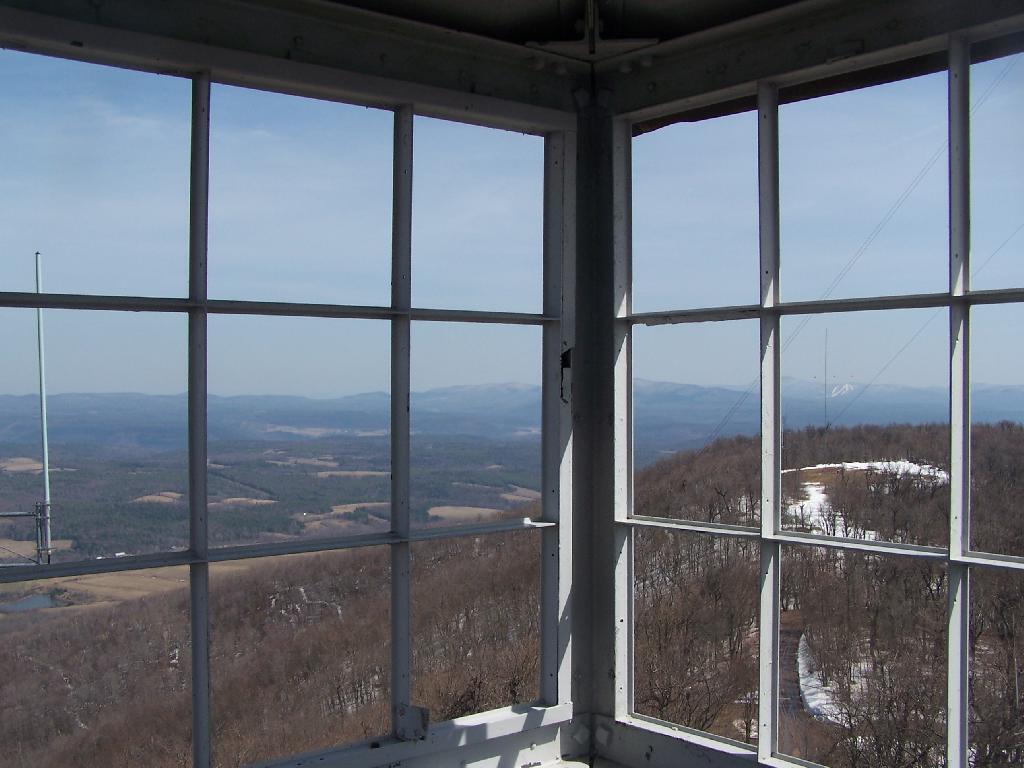
Up by the Leonard Hill Fire Tower, there is a clearing cut into the hillside, and an area where there is a little fire place, and some grass that never grows that tall. It’s obvious that people camp up here from time to time, to enjoy the beautiful sunset, and myself I’ve been itching to watch a sunset from here for some time.
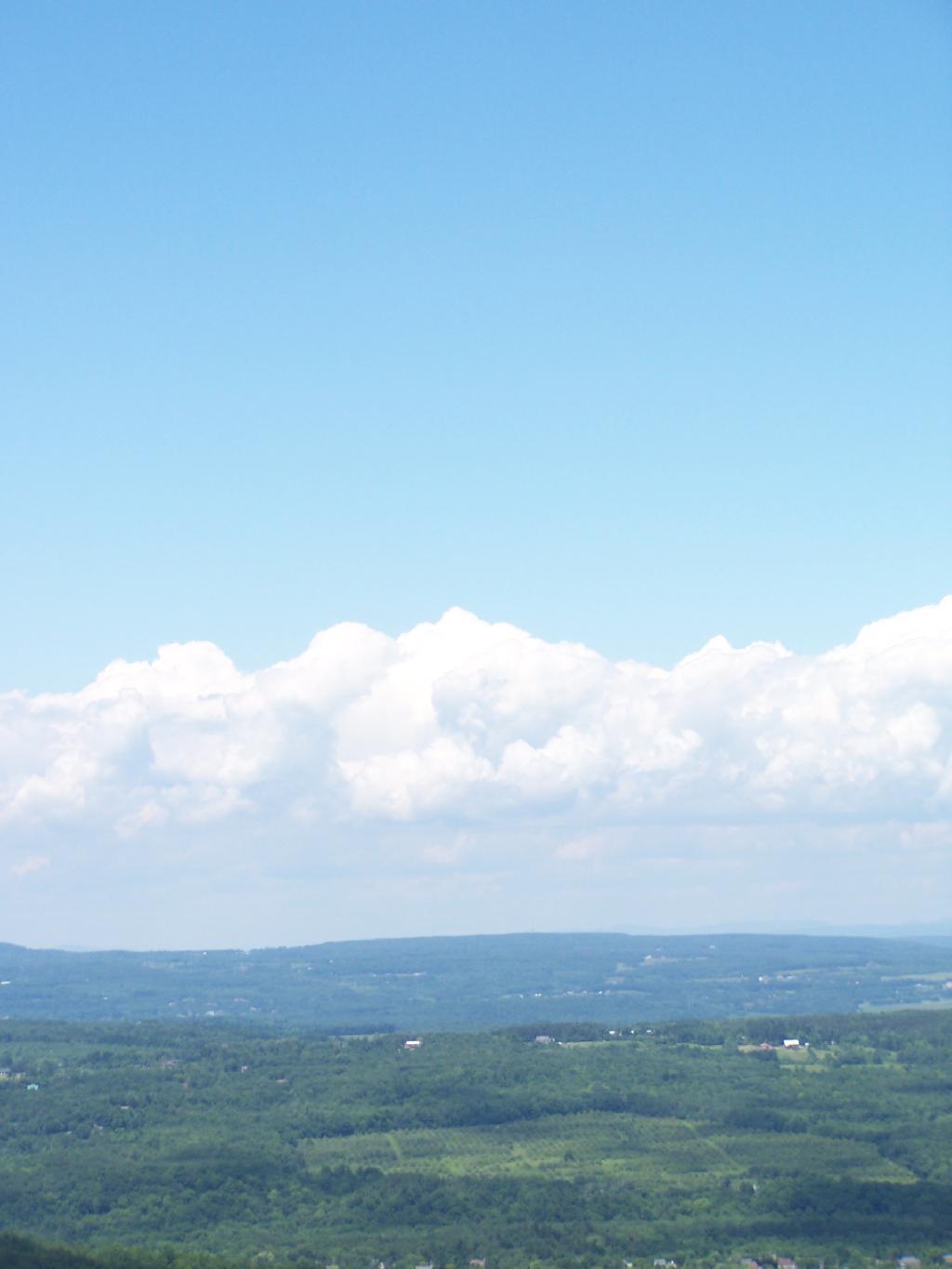
While on June 5th, the weather was somewhat cloudy, as thunderstorm after thunderstorm came rolling through the valleys and mountains alike, it actually turned out to be a remarkably beautiful evening. with a beautiful sunset into the clouds. The views from Leonard Hill where as spectacular as always.
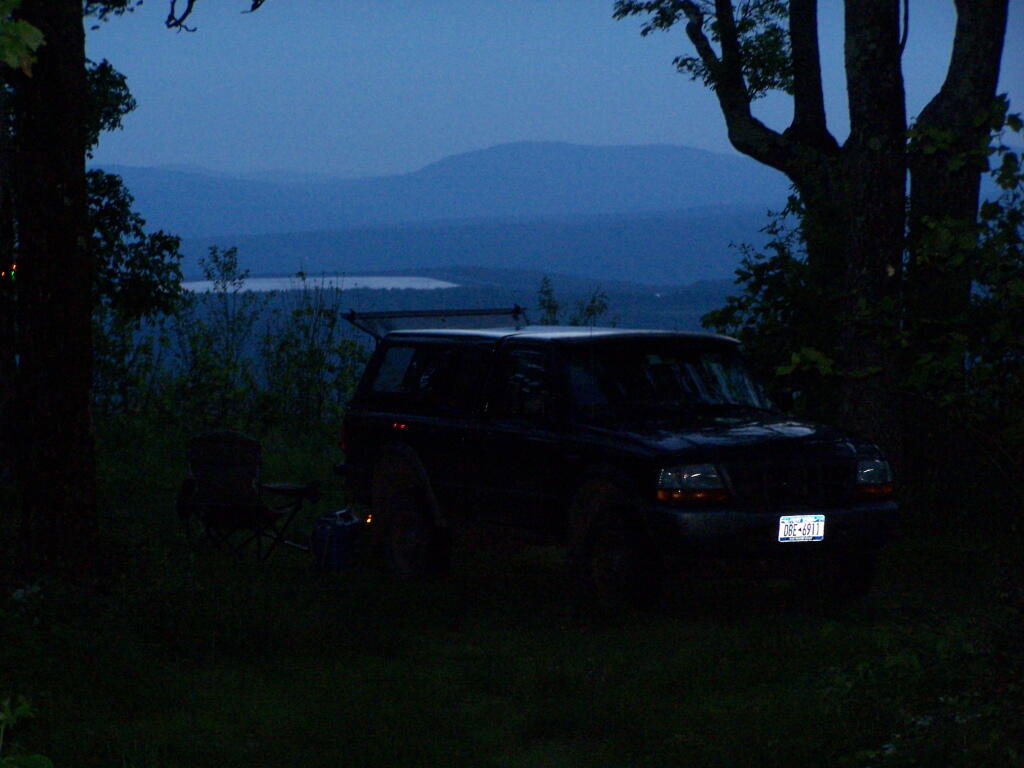
Looking at my camping set up.
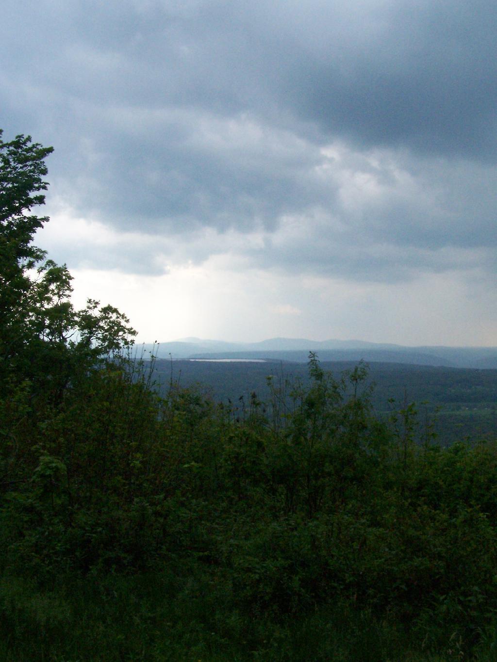
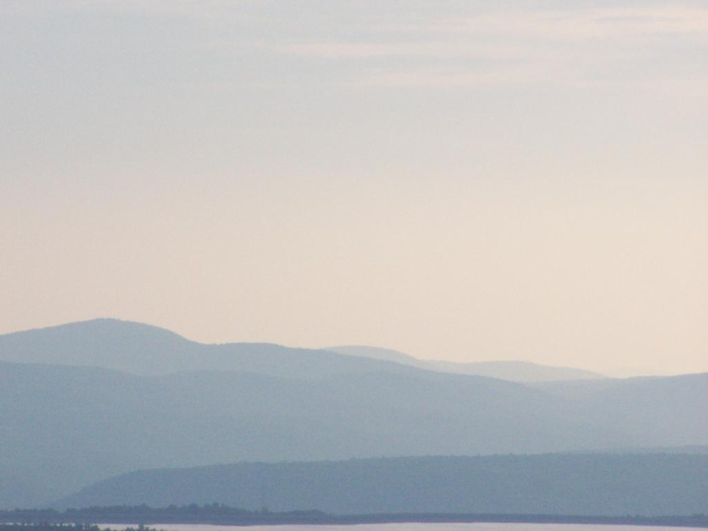
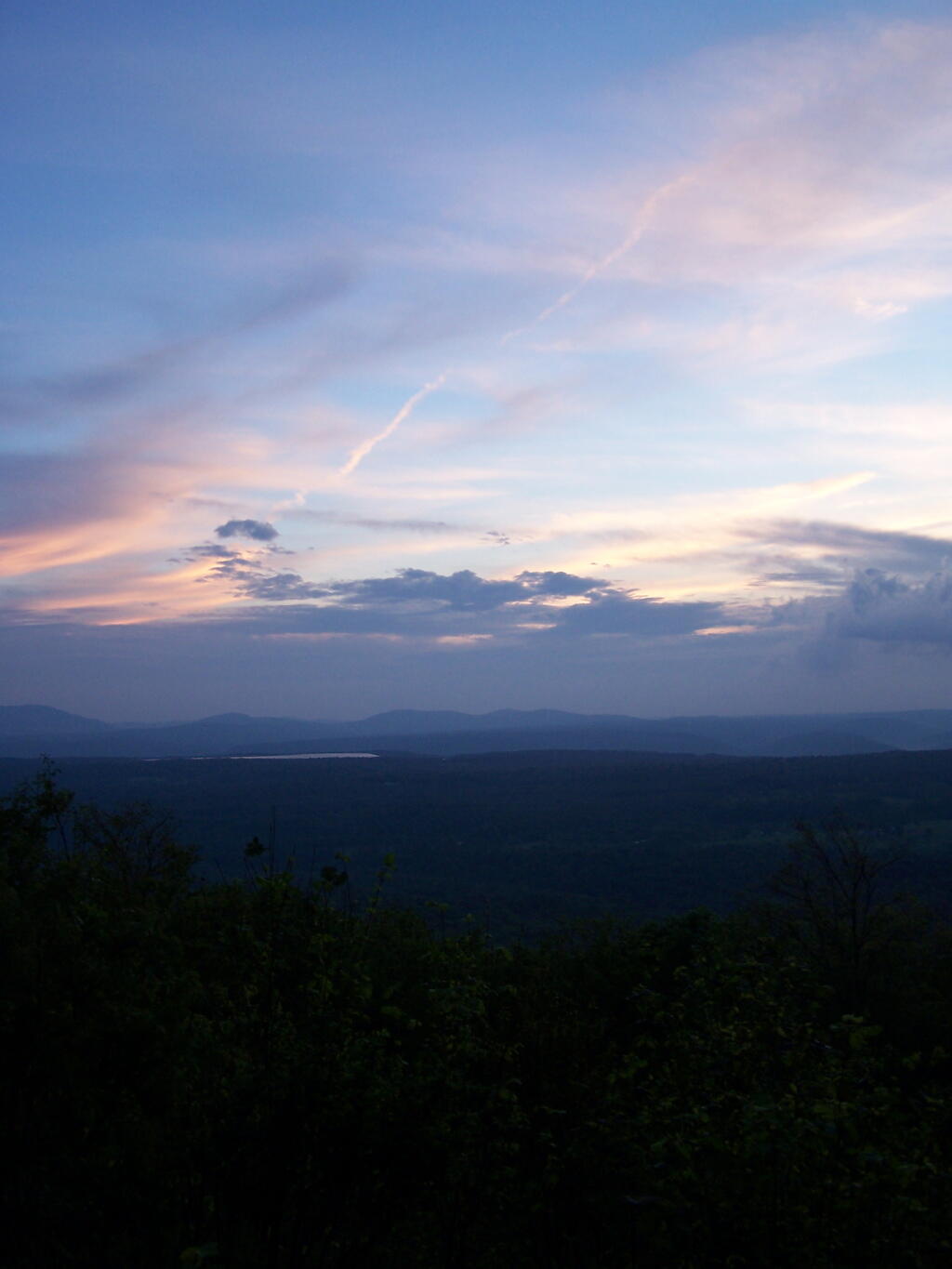
The rain lead to some beautiful misty sky scapes, especially as the sun was lowering in the sky. Here is Rossman Hill, where I had camped deep in the valley the previous night.
And here Blenheim Mountain with the Blenheim Upper Power Project Reservoir above it.
It was windy up there, but the little White Gas Coleman Stove did just find boiling the water for the pasta I was cooking up for dinner. I did stick it behind this little rock to provide a little more shelter from the wind, but regardless cooked it quickly.
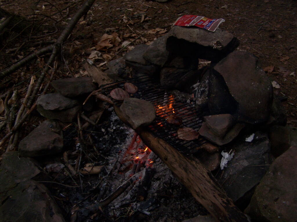
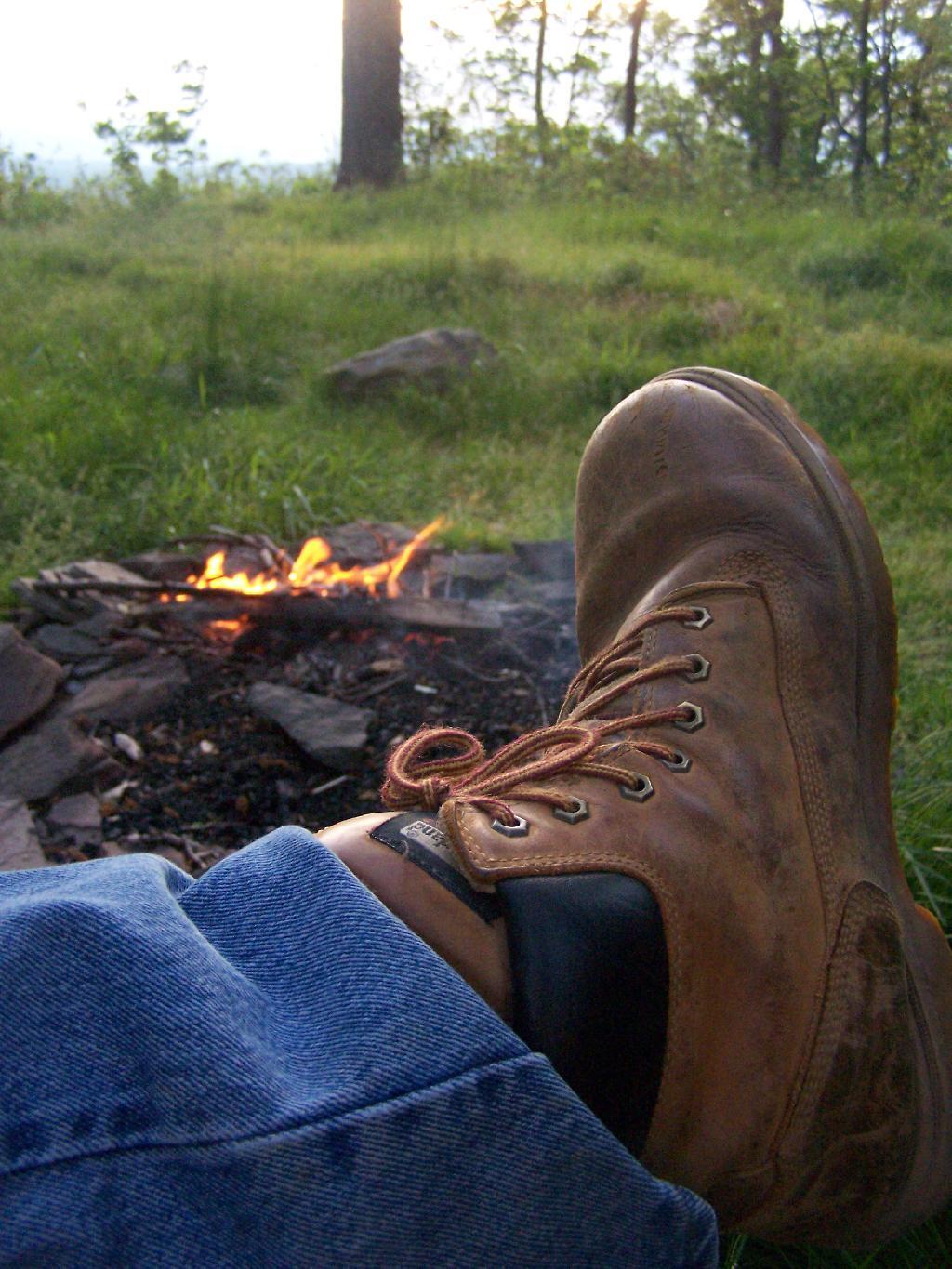
With the wind racing up the hill with coming front, I kept the fire very small and a lot of water nearby. It had been raining throughout the day, so things weren’t particularly flammable, but with the winds being so strong, it was a bit frightening.
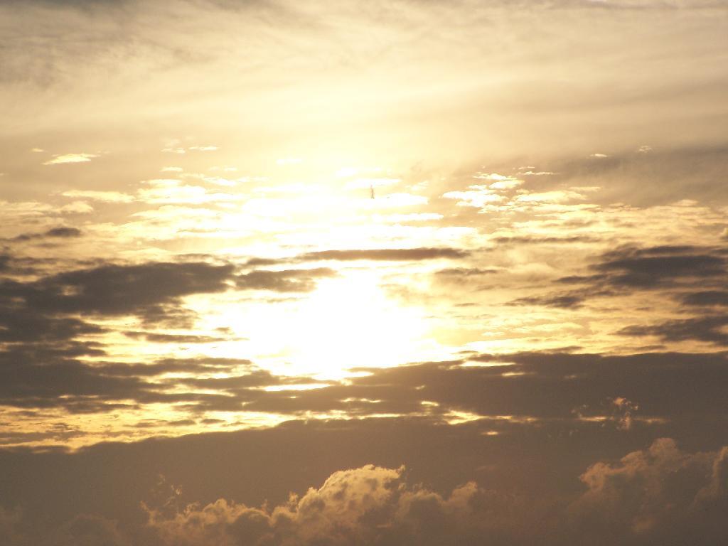
I watched the sunset into the valley while the very small campfire roared away with the winds whipping away. It wasn’t particularly cool, but by 8 PM, I did feel it neccessary to put on a long-sleeved shirt.
The sun setting through the trees.
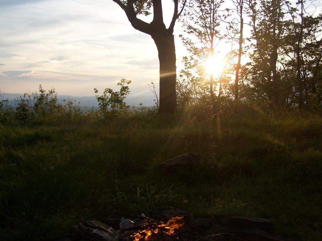
With the clouds starting to over take the sun.
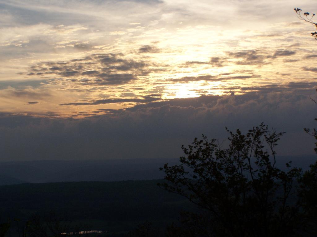
And eventually a front comes through, making the sun set before it normally would, quite far to the north, over Rossman Hill.
The view after sunset. You can just barely make out the mountains, from Utsayathana to the left, to Blenheim and the Reservoir in the center, to Burnt-Rossman Hills on the right.
The truck truck and camping gear after dark.
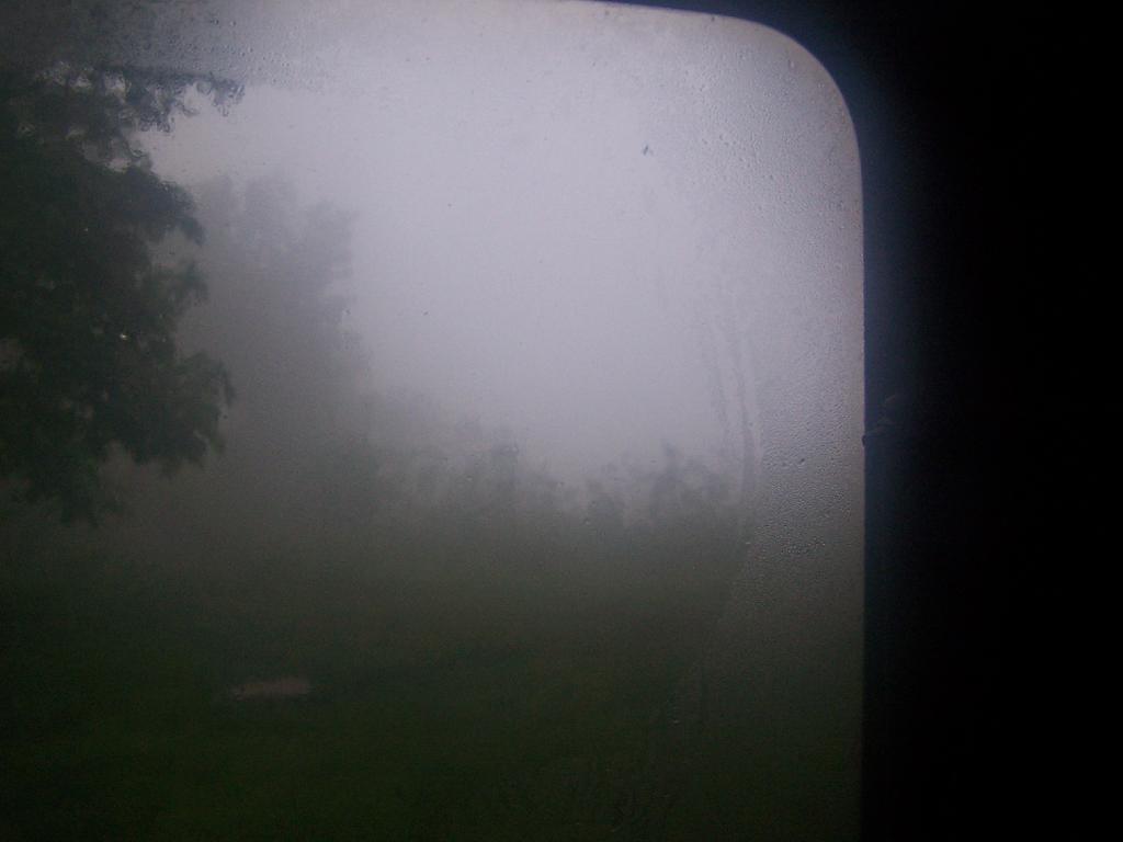
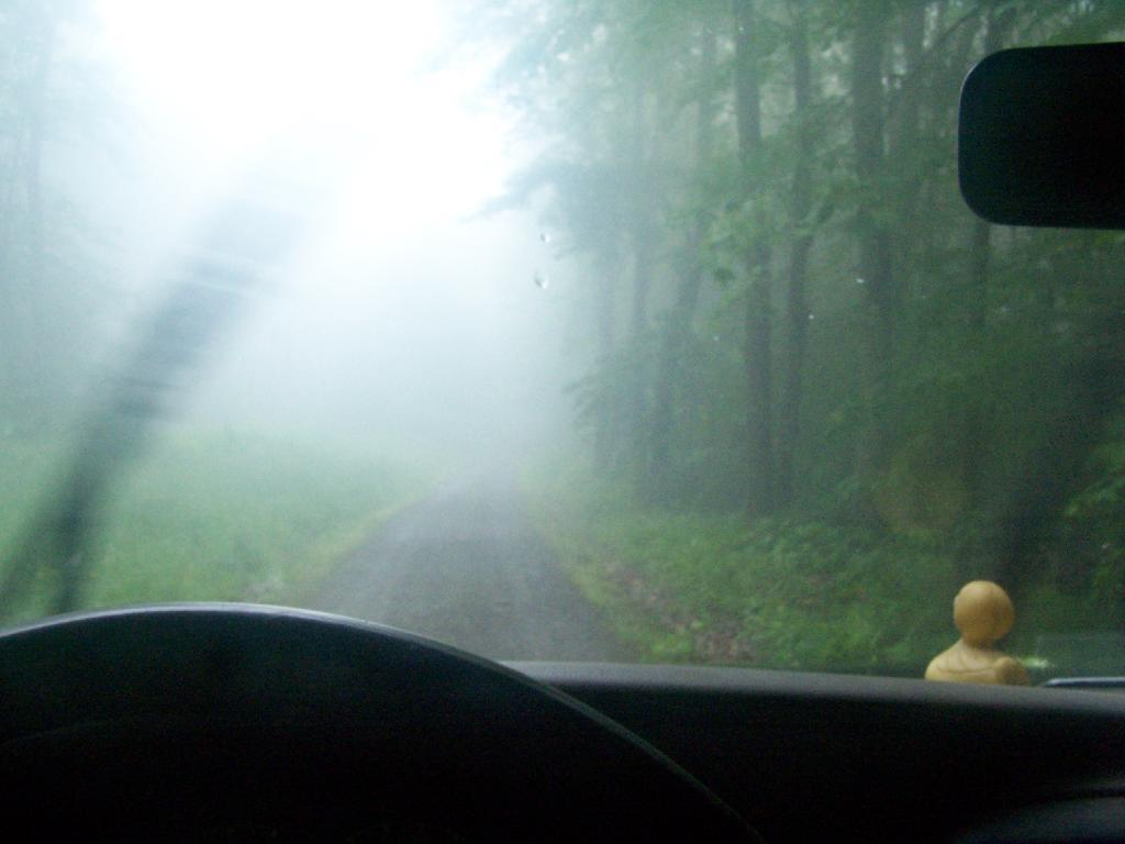
Awaking in the morning to pounding rain, which fortunately let up into a relatively thick fog by the time I got up in the morning. Here is a view out the back window of the truck cap.
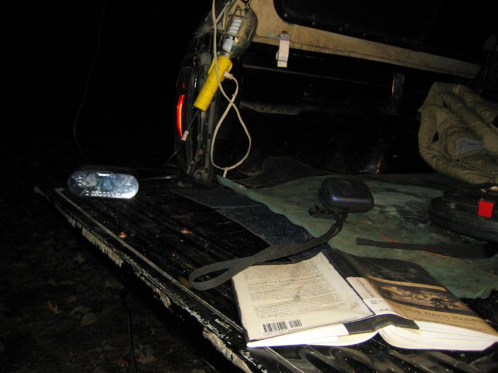
My “night stand” in the truck. Books, radio, flashlight, even fan. I’m as well prepared as I would be at home for sure. That light has only a 9-watt florescent bulb in it, although if I ever needed more light, I have two other lead-lamps with 26-watt florescent in them to illuminate the night.
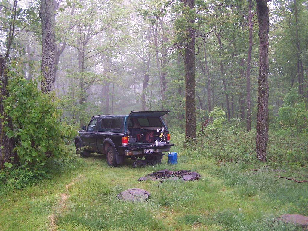
Packing up my gear on the foggy morning.
The rain and fog pretty much obstructed the view by morning.
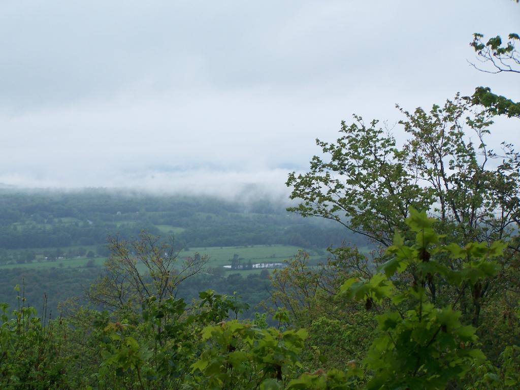
The farther I got down the mountain, the worst the weather got on the truck trail. A little farther down the mountain, the fog was so bad, I had to drive really slow with my truck.
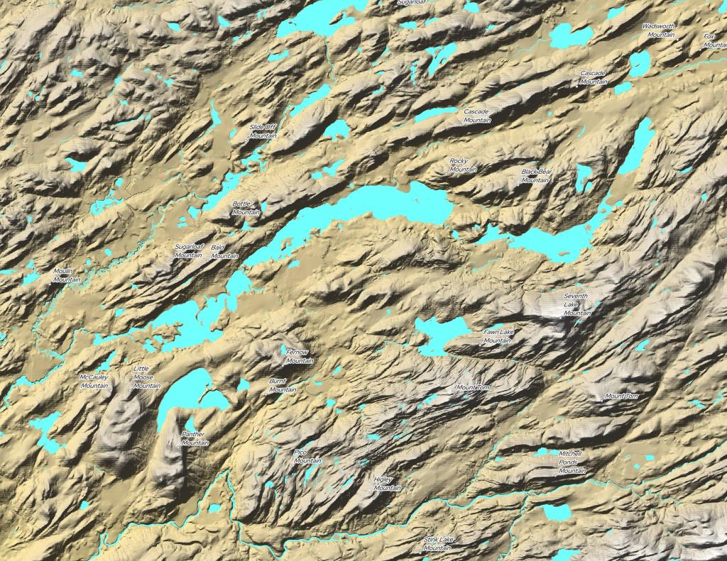
Here is a map of where I camped on top of Leonard Hill.
I sometimes get the biggest kick out of people who act like they have god on their side. They know you must be wrong, because you obviously must not have god your side.
As far as I know, God is not into partisan politics. He probably wouldn’t take any opinion on any of the human issues of day, except to encourage people to use their conscience and work to help their fellow man as they believe best.
Always try to challenge your own beliefs and the orthodoxy of those around you. Be the troublemaker who asks the hard questions. Be the Devil’s Advocate, because certainly God wants some people to advocate for the devil, in case god is wrong. It also wouldn’t be right not to give the Devil the defense he deserves.
The other day I was stuck behind one of my neighbor’s 1958 Ford Fairlane, on a hot sunny day. A beautiful classic car, it really stunk of partially burnt hydrocarbons, as was the case of most cars from the pre-automobile pollution control era.
I was curious how much progress we’ve made an automobiles in 2010, versus the pre-control era of model years 1968 and earlier. In 40 years, we’ve taken some serious steps to reduce the tailpipe emissions of our automobile fleet.
The four major pollutants from automobiles are nitrous oxides (NOx) that create smog, carbon monoxide (CO) which is a deadly human posion that replaces oxygen in human blood and causes heart attacks, particulate matter (PM) or soot that coats human lungs and creates smog, and carbon dioxide (CO2) that is acidifying our oceans and inducing climate change.
* Estimates based on the following, previously used to test emissions.
Miles Per Gallon – 27.5 miles per gallon
Lead – Gasoline is 100% lead free now due to catalytic converters being poisoned by leaded gasoline. Lead has been replaced by ethanol and synthetic anti-knock oxygent agents such as MTBE and ETBE.
A Significant Improvement.
Here is the improvement in pollution control in the past 40 years for automobiles in times.
Nitrous Oxides – You can drive a 2010 model year car 100 miles and create the same amount of nitrous oxides as a 1968 model year car puts out per mile.
Carbon Monoxide – You can drive a 2010 model year car 18.5 miles and create the same amount of carbon monoxide as a 1968 model year car puts out per mile.
Particulate Matter – You can drive a 2010 model year car 1287 miles and create the same amount of particulate matter as a 1968 model year car puts out per mile.
Carbon Dioxide – You can drive a 2010 model year car 2.1 miles and create the same amount of carbon dioxide as a 1968 model year car puts out per mile.
Hope for Even Cleaner Cars.
The fact is we’ve done a lot to clean up the automobile fleet. Today’s cars are nothing like the polluting cars of yesteryear, although on one key pollutant — carbon dioxide, we have a long ways to go. Carbon dioxide, while a very dilute pollutant, is produced in massive quantities by automobiles. Modern cars still produce over 320 grams per mile of carbon dioxide, and reducing that will require advanced technologies, many yet to be invented.
Yet, back in 1968, few would have believed that we would reduce nitrous oxides, carbon monoxide, or particulate mater to such a great extent as we have today.
![Untitled [Expires August 8 2024]](https://andyarthur.org//data/photo_004387_large.jpg)