July 15, 2013
James E. Connolly, Deputy Director, Planning
Adirondack Park Agency
Post Office Box 99
1133 State Route 86
Ray Brook, NY 12977
Dear Mr. Connolly:
RE: DEIS on 2013 Amendments to the Adirondack Park State Land Master Plan
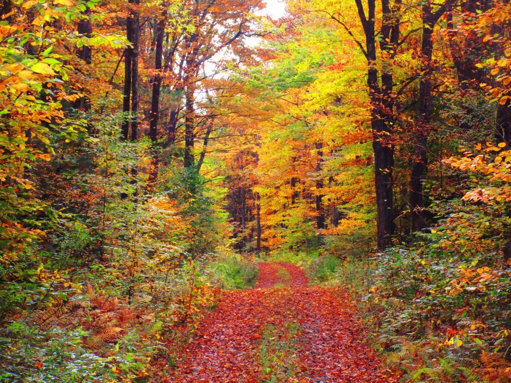
The Draft Supplemental Environmental Impact Statement fails to provide all ‘reasonable alternatives’ in its review of possibilities, by failing to include the option of classifying the lands of Essex Chain Tract, Indian River Tract, OK Slip Tract, and Open Space Conservancy (OSC) Tracts as ‘Wild Forest’ in their entirety. A reasonable person could conclude that providing such a ‘Wild Forest’ classification, as part of the review, is required under the analysis mandated by ECL 8-0109 (“reasonable alternatives under SERQA”) and the Executive Law 816 (“state land plan for Adirondacks”).
While Alternative 4A (“New Land as Wild Forest with a Wilderness Corridor Along the Hudson River”) comes close to a pure ‘Wild Forest’ option, I would strongly recommend that the agency consider creating an Alternative 4C, with a ‘Wild Forest’ option, and ultimately adopt the Alternative 4C, pure ‘Wild Forest’ option, to preserve access to existing roadways, as felt necessary and proper by the Department of Environmental Conservation.
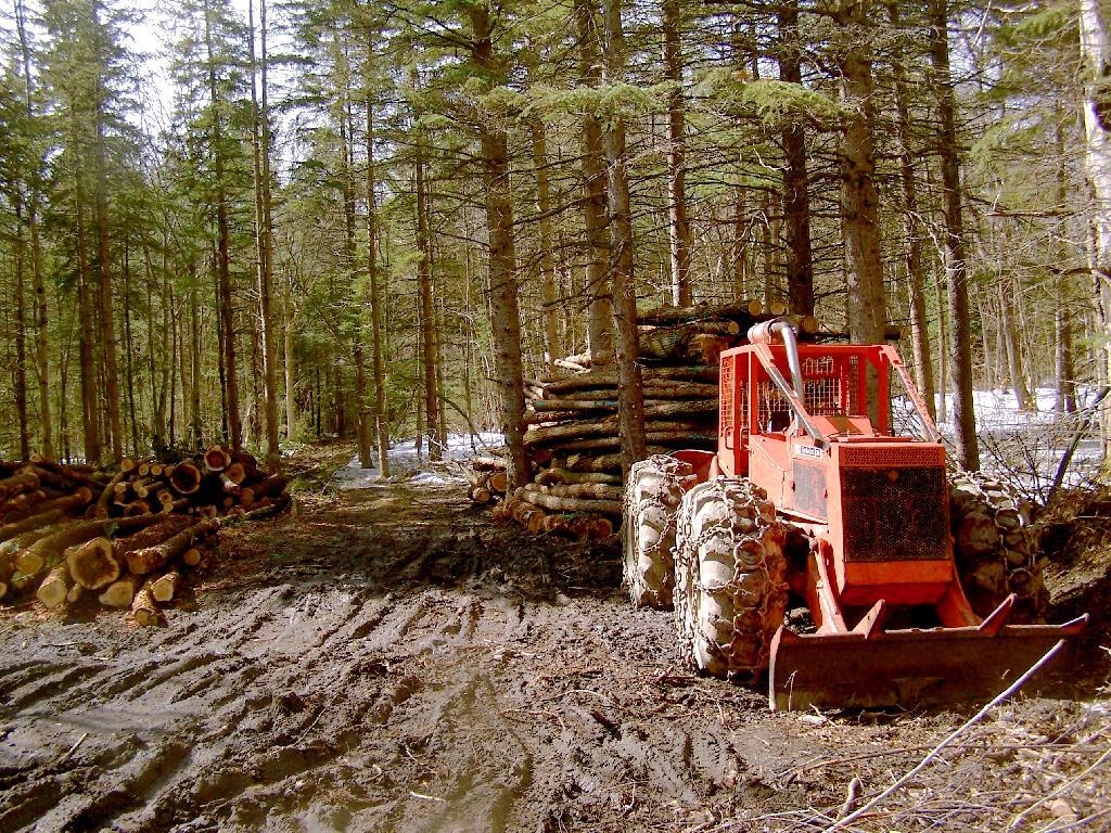
A pure ‘Wild Forest’ option would continue to allow use many of the existing roadways to provide access to the interior of these lands that exists today, under private ownership to existing camps and facilities. Nobody is proposing the construction of new roads or expanded motor vehicle access to this area, indeed such a provision would be violative of Article XIV of the state’s constitution, which states, “…nor shall the timber thereon be sold, removed or destroyed.”
The unique provisions of the state’s constitution will prevent excessive development and use of these lands. In Association for Protection of Adirondacks v MacDonald (253 N.Y. 234, affg 228 App Div 73, 1930), it was decided that most cutting of trees in the forest preserve by the DEC was prohibited. A state-owned bob sleigh run was prohibited from being built in state forest preserve.
“The Adirondack Park was to be preserved, not destroyed. Therefore, all things necessary were permitted, such as measures to prevent forest fires, the repairs to roads and proper inspection, or the erection and maintenance of proper facilities for the use by the public which did not call for the removal of the timber to any material degree. The Forest Preserve is preserved for the public; its benefits are for the people of the State as a whole.” (emphasis added)
No new facilities on these lands may be constructed that require the cutting of timber, beyond a “material degree” as defined in MacDonald and subsequent decision in Balsam Anglers Club v. DEC (153 Misc. 2d 606, 1991), which continued to hold that DEC could not cut any material amount of timber, although a small amount of brush removed to conduct a hiking a trail would be permissive.
Further restrictions on public motor vehicle use in ‘Wild Forest’ lands under 1935 opinion of Attorney General John J. Bennett, Jr., who stated it would be unlawful to create new public roads within forest preserve, without amending the state constitution. Mr. Bennett’s opinion permitted the DEC to create new “truck trails” for administrative use and forest-fire prevention, however if such truck trails were to be built, the public would be banned from use of them.
Therefore, Adirondack Park Agency (APA) should not be concerned or fearful about an expansion of motorized transportation in this areas, but should continue to allow existing access roads where deemed necessary and proper by the Department of Environmental Conservation (DEC).
Moreover, the APA is not constrained, on their classification of these parcels. The controlling law is Executive Law 816, which simply requires the APA to create a plan, and for the DEC to follow it. The statue allows for the APA to amend their plan, at will, when acquiring new parcels or meet contemporary uses of land, as long as it is consistent with the state constitution’s prohibition on the removal of timber.
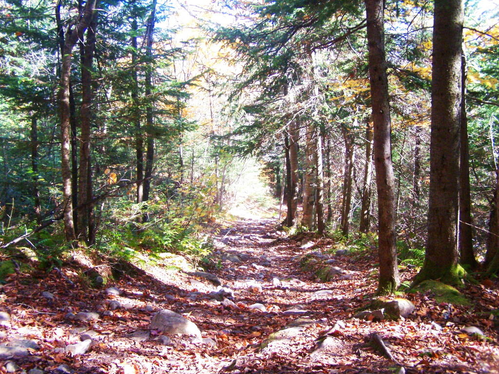
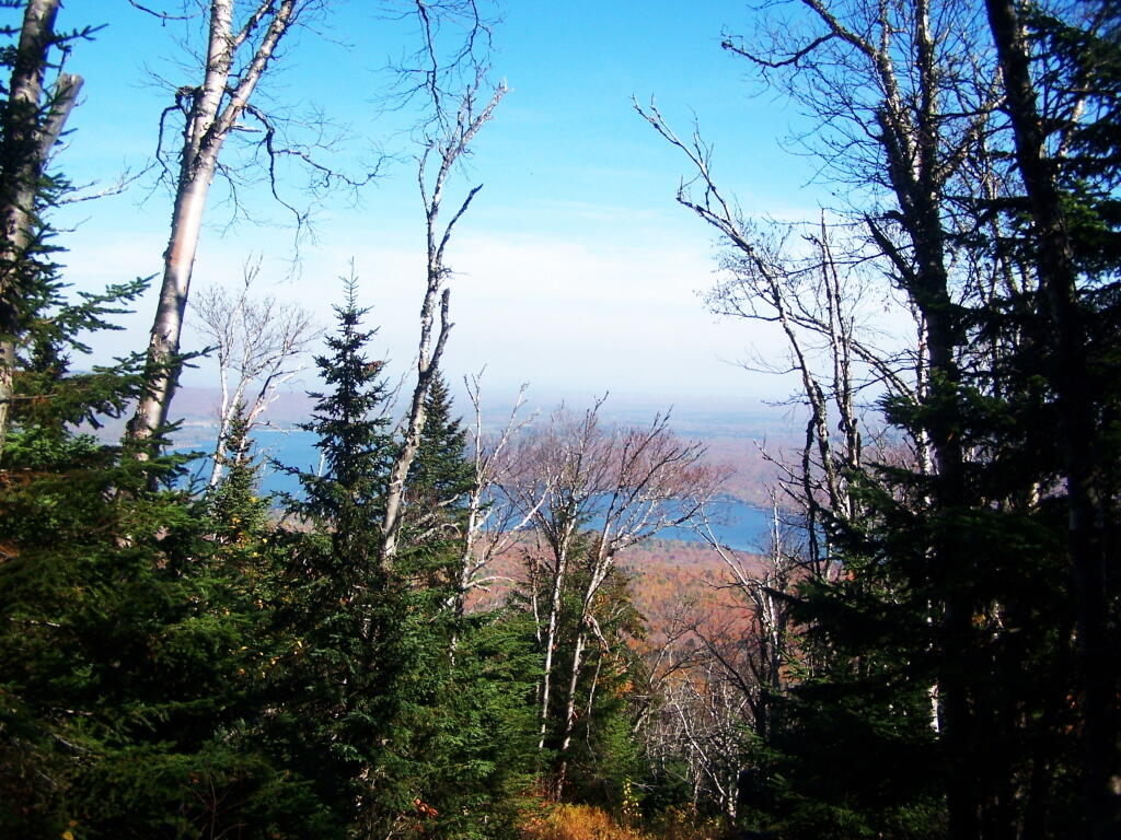
A ‘Wild Forest’ classification, with the protections provided under state constitution is what is needed for these lands. This would keep most of the existing interior roads open for low-speed, controlled motor vehicle travel, for access to the Hudson River, campsites, and the many ponds and trail heads up mountains. Let the DEC then decide which existing interior roads to convert to hiking trails, based on terrain and sensitive environmental areas.
Additionally, a ‘Wild Forest’ classification would keep existing interior roads open to snowmobiles in winter and ATV access in the summer and fall including hunting seasons. Again, exact routing of such corridors should be left to the DEC in their creation of the Unit Master Plan (UMP). Likewise, hiking trails should be designated in the UMP, and may be created either following existing routes, or new routes, under the authority granted by the court in Balsam Anglers Club.
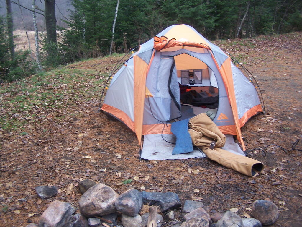
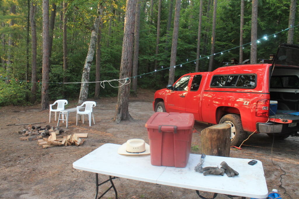
To be clear, current precedence and practice allows roadside camping, with a small trailer or pickup truck with a camper top, is allowed in Wild Forest-area in designated areas. As such, I would call for an amendment to the APSLMP, as part of the plan to strike the road “tent” from the description of campsite, as designated under Wild Forest. All other provisions, including the ¼ mile separation should remain for campsites in Adirondack Park.
Units with existing, department-designed roadside campsites, and no prohibitions on small vehicular campers include the following Wild Forests: Aldrich Pond, Black River, Debar Mountain, Ferris Lake, Horsehoe Lake, Jessup River, Independence River, Moose River, Saranac Lake, Sargent Ponds, Taylor Pond, Vanderwhacker, and Wilcox Lake – all of largest wild forests. Roadside camping is popular activity on many back roads, and is not only allowed in many designated sites in New York State, but is common in National Forests in neighboring states, such as Pennsylvania and Vermont. The impact on existing ecosystems is minimal, as the land is already impacted by existing motor vehicle traffic traveling on these roads.
Finally, the Adirondack Park Agency should carefully review the resolution, “Resolution in Support of the Upper Hudson Recreational Hub Request for Maximum Access to Unclassified State Lands,” by the Adirondack Association of Village and Towns in making their classification decision for these lands. Setting out a dramatic vision for these lands, they would protect the existing wild forest character of these lands, while maximizing the public use of these lands, which were ultimately paid for with our taxpayer dollars.
Thank you for reviewing these comments. I look forward to reviewing the revised DEIS.
Sincerely,
Andy Arthur
Resolution in Support of the Upper Hudson Recreational Hub
Request for Maximum Access to Unclassified State Lands
Resolution Date: 3 June 2013 at the Membership Meeting of the Adirondack Association of Towns and Villages
Moved By: Supervisor Farber, seconded by Supervisor Monroe CARRIED
WHEREAS, Governor Cuomo has announced the State’s acquisition of 69,000 acres of the former Finch Pruyn and other Nature Conservancy Lands; and
WHEREAS, Governor Cuomo has stated that this agreement will make the Adirondack Park one of the most sought after destinations for paddlers, hikers, hunters, sportspeople, and snowmobilers, and that opening these lands to public use and enjoyment for the first time in 150 years will provide extraordinary new outdoor recreational opportunities, increase the number of visitors to the North Country and generate additional tourism revenue; and
WHEREAS, the five Towns in the Adirondack Park most affected by this acquisition wish to realize the maximum benefit of increased tourism revenue; and
WHEREAS, the five Towns consisting of Indian Lake, Long Lake, Minerva, Newcomb, and North Hudson wish to work together to achieve the maximum economic benefit to the region from the increased tourism and have now formed the Upper Hudson Recreation Hub; and
WHEREAS, these tracts of land have an extensive network of maintained roads formerly used as logging and access roads; and
WHEREAS, the Upper Hudson Recreation Hub is in agreement that the only path to realize the maximum economic benefit of this land acquisition is to provide the utmost access to the public to the ponds, lakes, rivers, streams, and trails and that access should be provided to all citizens including the elderly, handicapped, disabled and physically challenged; and
WHEREAS, the Upper Hudson Recreation Hub is also in agreement that all forms of recreational activities to include, but not be limited to, hiking, canoeing, camping, skiing, snowmobiling, mountain biking, horseback riding, dog sledding, and the use of ATV’s be permitted; and
WHEREAS, the Upper Hudson Recreation Hub is of the opinion that the “Gooley Historical Society” be permitted to preserve and maintain the Outer Gooley Farmhouse, a building of historical significance that would be a learning tool for current and future generations and the loss of this valuable asset would be truly disrespectful to our Adirondack Ancestors; and ..
WHEREAS, the Upper Hudson Recreation Hub agrees that the proposal to surplus the Boreas Pond Lodge and support buildings would be a complete waste of a valuable asset that could be used for many purposes such as training and education, as an information center, an outpost, or as lodging; and
NOW, THEREFORE BE IT RESOLVED, that the Adirondack Association of Towns and Villages wholeheartedly supports the position of the Upper Hudson Recreation Hub, in its honorable efforts to achieve the greatest economic benefit from this purchase by requesting that the State classify these lands in away that promotes the maximum access to the ponds, lakes, rivers, streams, and trails by all citizens, including the elderly, handicapped, disabled and physically challenged; and
BE IT FURTHER RESOLVED, the Adirondack Association of Towns and Villages strongly oppose any land use and classification that does not allow for all forms of recreational activities to include, but not be limited to, hiking, canoeing, camping, snowmobiling, skiing, mountain biking, horseback riding, dog sledding, and the use of ATV’s; and
BE IT FURTHER RESOLVED, that the Adirondack Association of Towns and Villages fully supports the continued maintenance and preservation of the Outer Gooley Farm House, a place of historical significance where early settlers tried to farm and run a sporting camp; where there was a discovery of hand dugout canoes; where Heavyweight boxer Gene Tunney trained; and where Senator Bobby Kennedy launched his raft into the Hudson River, and, if not preserved, would be the loss of an invaluable asset that could be used as a learning center for present and future generations; and
BE IT FURTHER RESOLVED, that the Adirondack Association of Towns and Villages fully supports the continued use of Boreas Pond Lodge and support buildings that could be used for many purposes such as training and education, as an information center, an outpost, or as lodging; and
BE IT FURTHER RESOLVED, that copies of this resolution be sent to Governor Andrew Cuomo, Commissioner Joe Martens, Senator Elizabeth O’C Little, Senator Hugh T. Farley, Assemblyman Daniel G. Stec, Assemblyman Marc W. Butler, Adirondack Park Agency Chairwoman Leilani Ulrich, DEC Region 5 Regional Director Robert Steggeman and DEC Region 5 Regional Natural Resource Supervisor Thomas Martin.
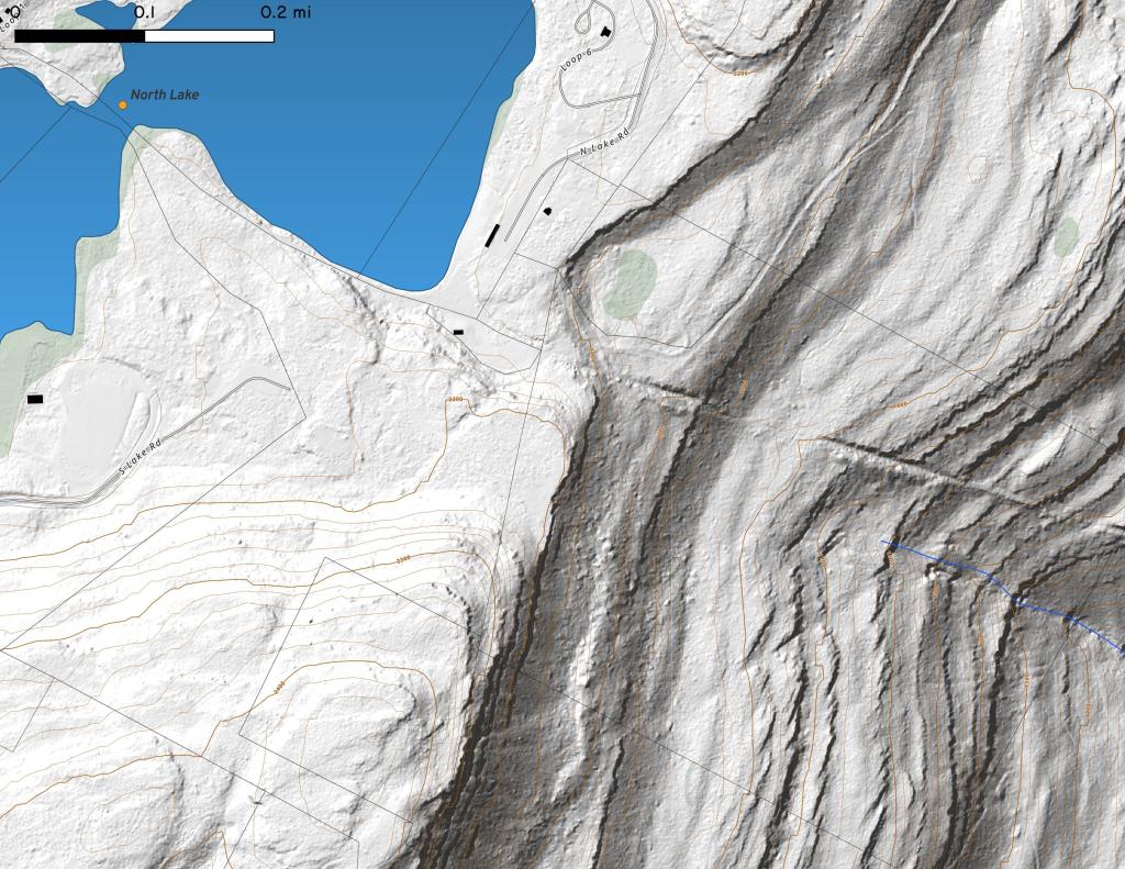
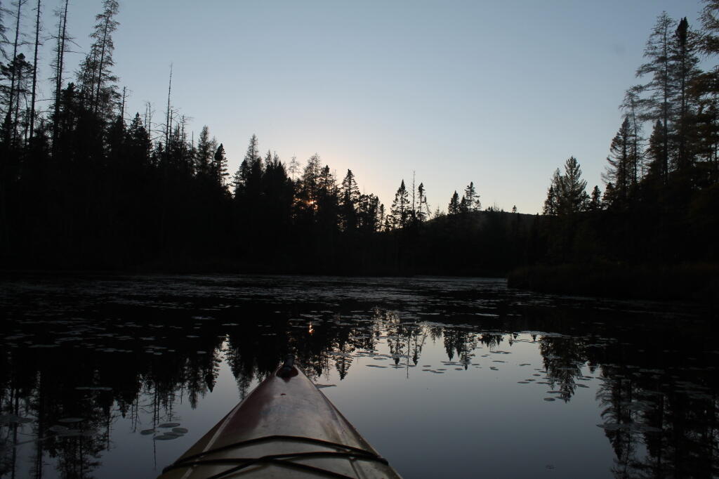
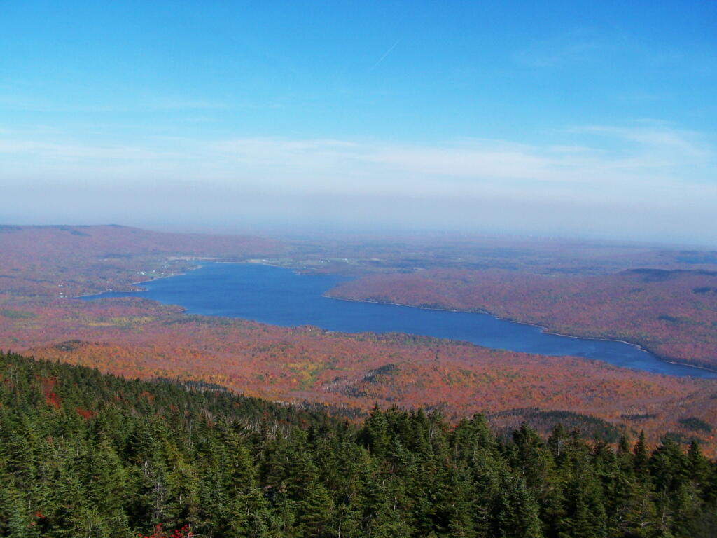
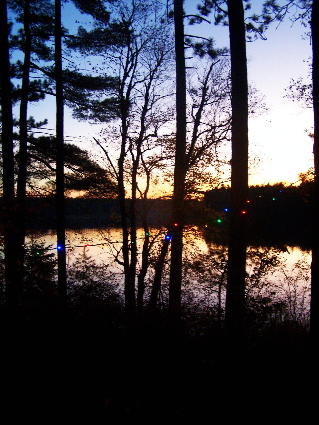
 Here is the vision of the towns, where they propose to keep most of the existing roads open for low-speed motor vehicle travel.
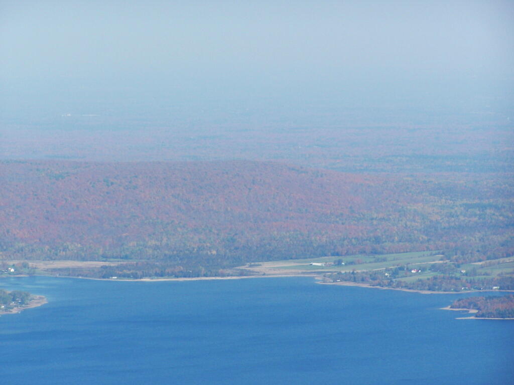
 The DEC in contrast is proposing to limit most of the existing dirt roads to hiking, mountain bikes, and snowmobiles, but also preserves access to the Hudson River, Cedar River, and Essex Tract within a 1/4 mile buffer. The buffer is designed so that people on the lakes can’t hear or see motor vehicles, which could compromise their experience.
 This is the proposal that the wilderness advocates. Not much access to the lakes, and a banning of mountain bikes and snowmobiles from existing roads.
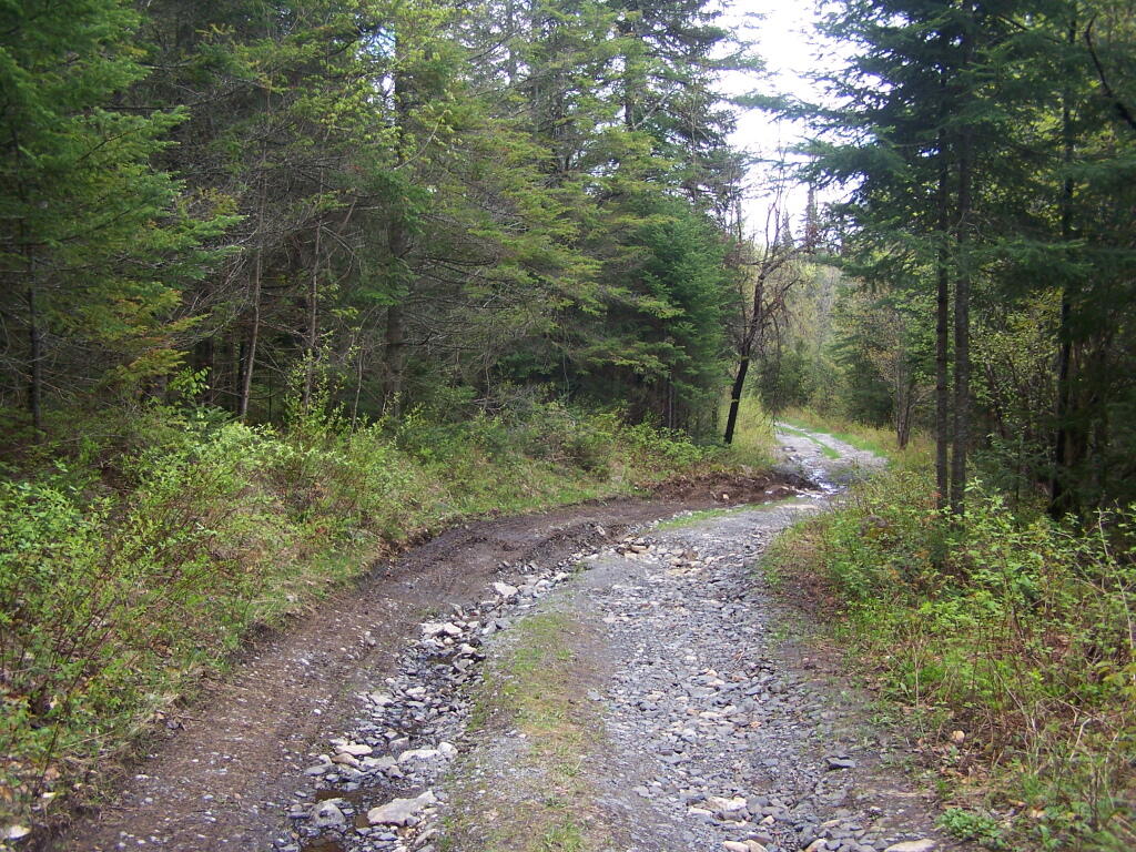


![Untitled [Expires June 24 2024]](https://andyarthur.org//data/photo_014141_large.jpg)