For about two months now I’ve been really itching to go out hiking on Mount Greylock. I have wanted to say I’ve “conquered” yet another peak. Last Sunday I decided it was time to go. I realised though with the short days and the snow predicted for the afternoon, I would not be able to make it all the way up Greylock, but would have to settle for Stony Ledge from the Hadley Farm.
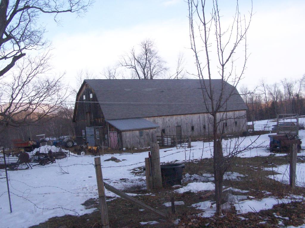
Hadley Farm is a working beef cattle farm, and while the cows where in the barn, you can smell the livestock in the barn. The farm is privately owned, Massachusetts Department of Conservation Resources (DCR) owns a parcel of a land directly to the south of the barn, an old field that is snowploughed to allow parking.
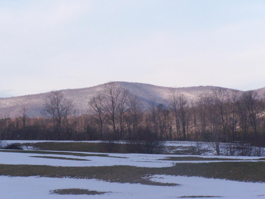
One of the first views directly to the west of the trail-head is the beautiful Deer Ridge, a set of lower mountains directly to the west of Mount Greylock.
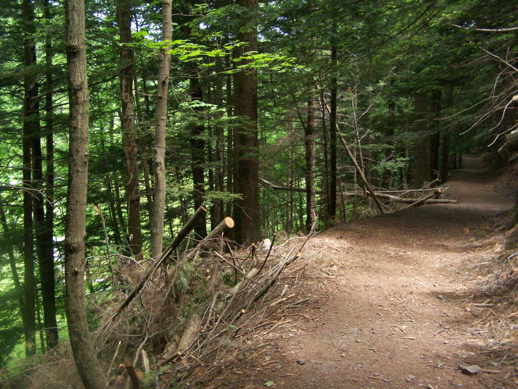
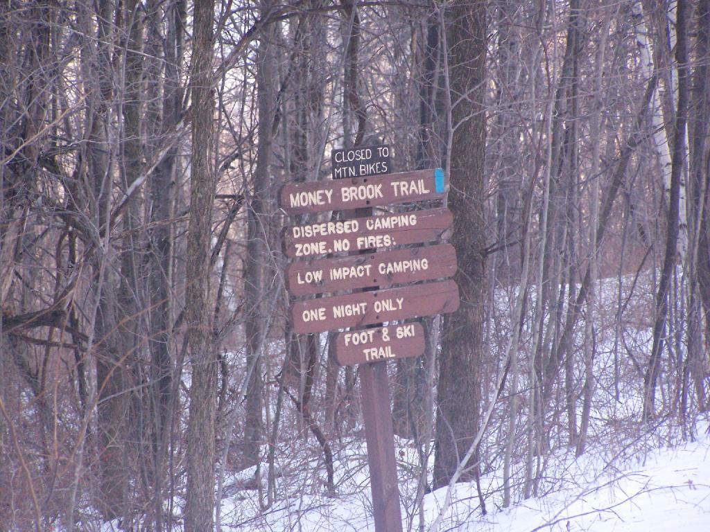
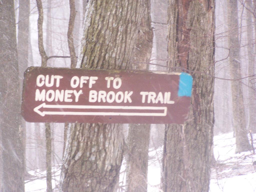
For a while the Hopper Trail is co-signed with the Money Brook Trail. Along the Money Brook they allow dispersed camping, which is not allowed in other areas. This portion of the Hopper Trail is relatively flat, with some climbing, but nothing too major.
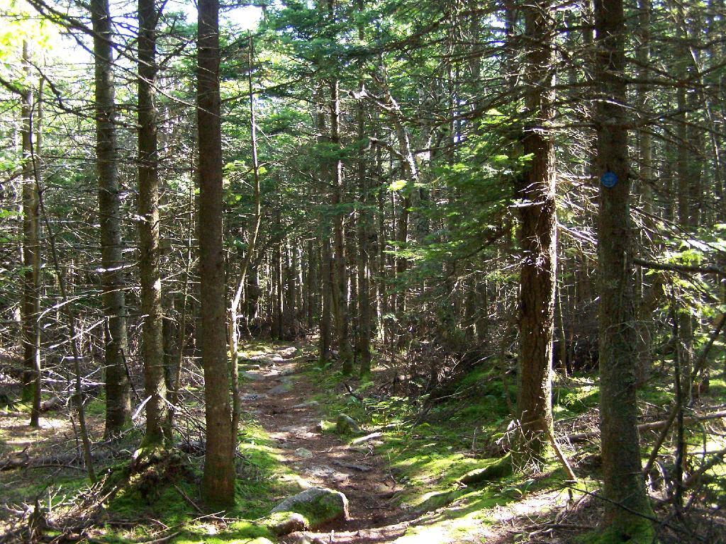
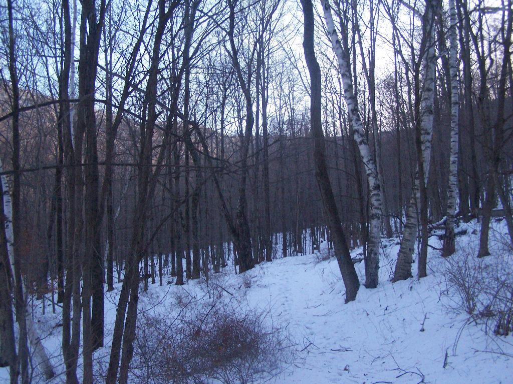
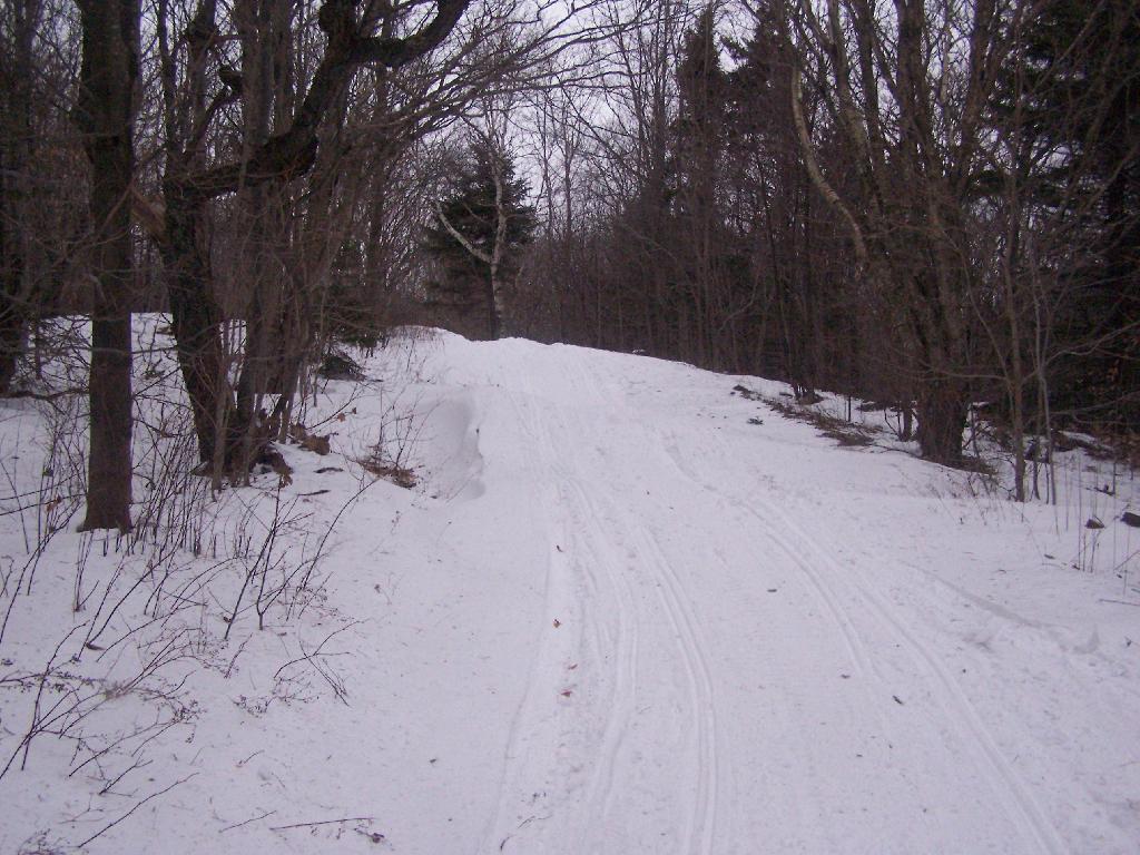
The trail I took up with the Hopper Trail, an old woods road that connects up with the camp ground on Stony Ledge. As I had gotten a fairly early start hiking up, the sun had yet to rise over the high mountains, so things where still in a shadow. The deep valley I am in is called the Hopper.
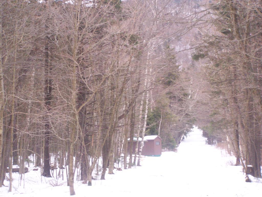
When you reach the Sperry Road Campground (free primitive backpack/horseback/snowmobile campsites), here is the sign for The Hopper / Hoper Trail. In Massachussets they sometimes get a bit carried away with all the words they use on their signs.
Here is Sperry Road / Campground. Right now it’s being used as a snowmobile trail. In the background is the side of Mount Greylock, some 1,000 feet above Sperry Road.
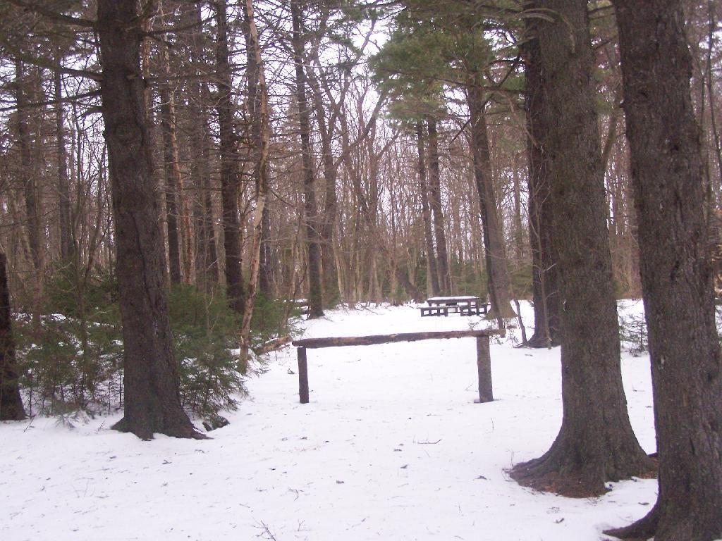
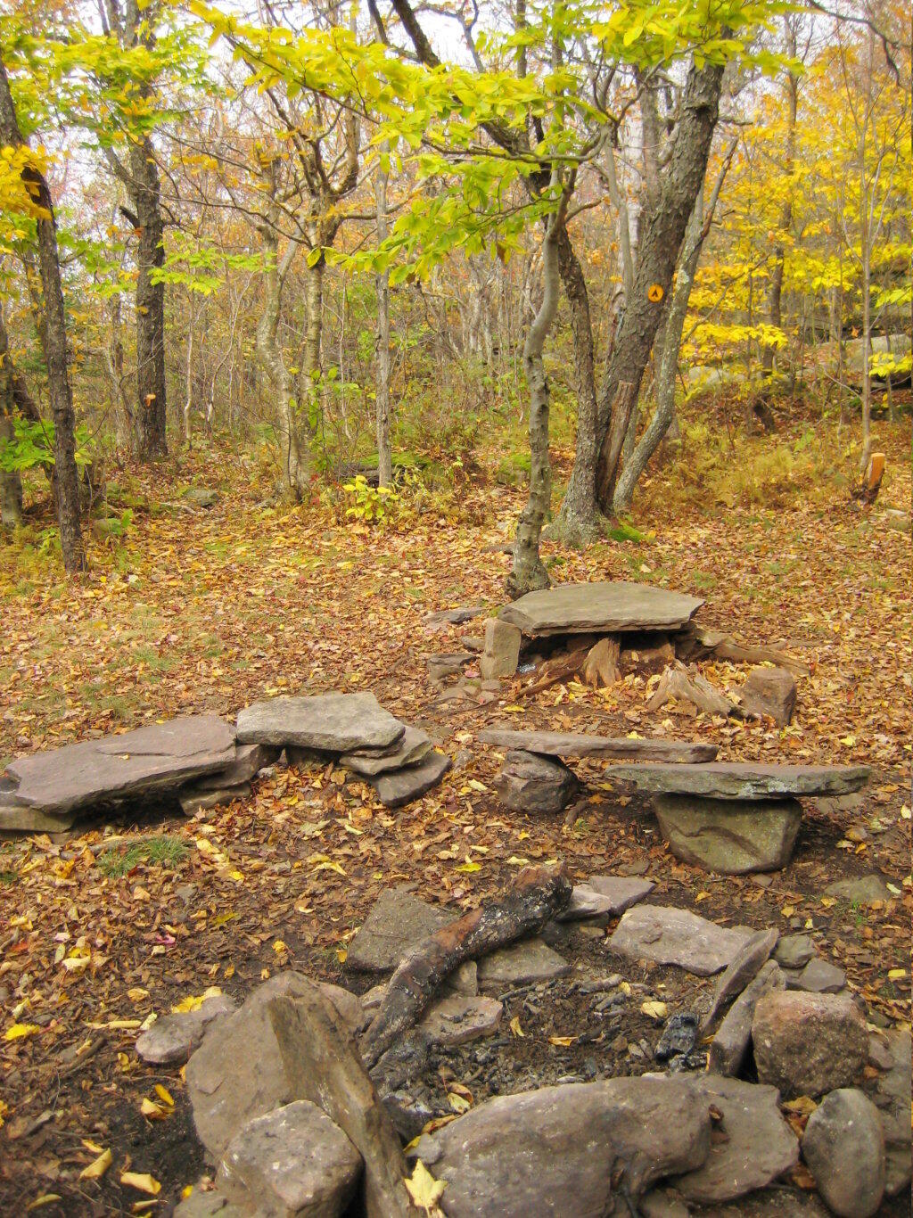
Here is Campsite R6 at Sperry Road. All of the campsites have picnic tables, the tiny little fire pits that are standard issue by MassDCR, and a hitching post for horses.
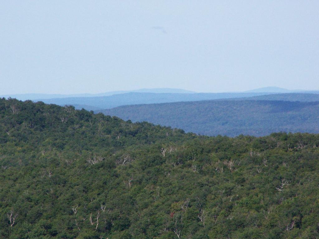
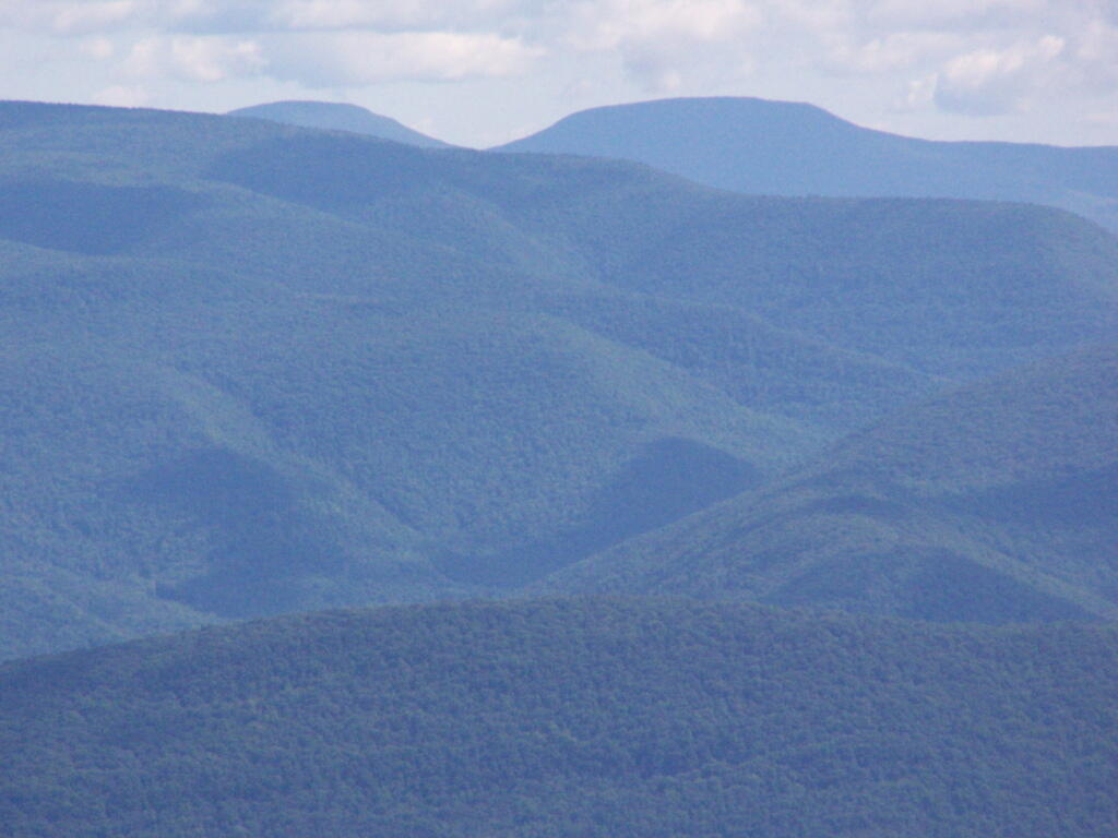
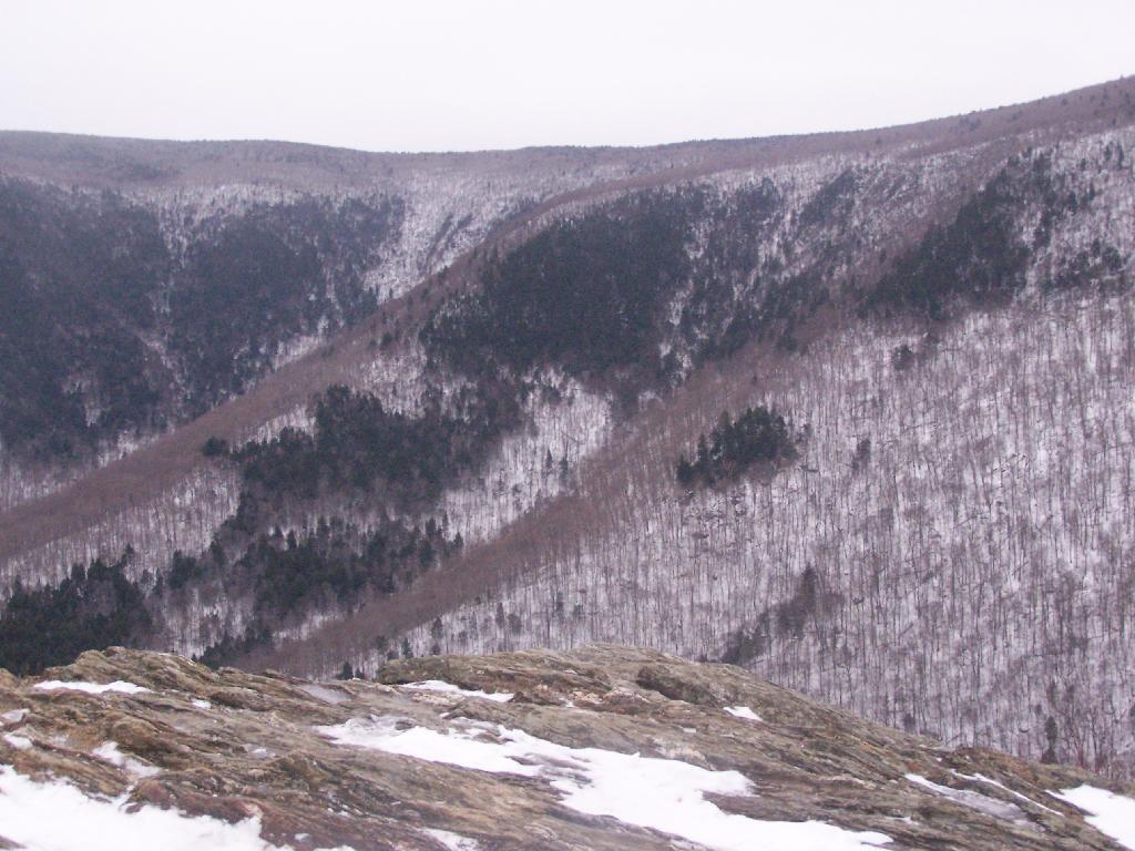
Reaching Stony Ledge. I’m tired. I sit down at the picnic table, and take off my snowshoes, and look down at the Hopper and the Taconic Mountains in the distance. The snow had largely blown off the face of the mountain.
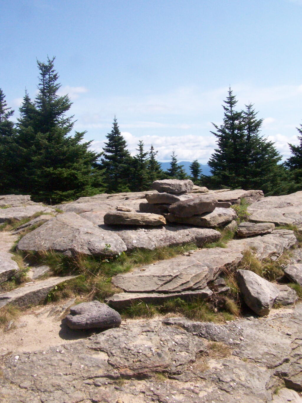
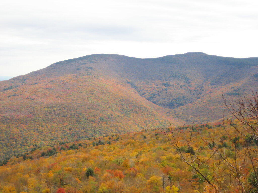
Here is the pass between Mount Greylock and Mount Prospect. The “wrinkles” in the mountain, and the stony-nature of Stony Ledge just seemed so perfect for this rapidly greying day.
I didn’t spend much time at Stony Ledge. Shortly after reaching Stony Ledge, it started to sleet (ice pellets) pretty hard. My left-cleet came apart on my snowshoe, so I decided I’d better head back. I wanted to find the pieces that fell off my snowshoe, so I returned the way I went up the mountain.
Part of the descent down on Hopper Trail was quite steep and icy. With my broken snowshoe, which I later found the parts for on the trail, it was a slippery descent. The old roadbed was covered with a thick layer of ice, made slipper from the sleet, and at an almost 45 degree angle to the roadbed, because of drifting snow.
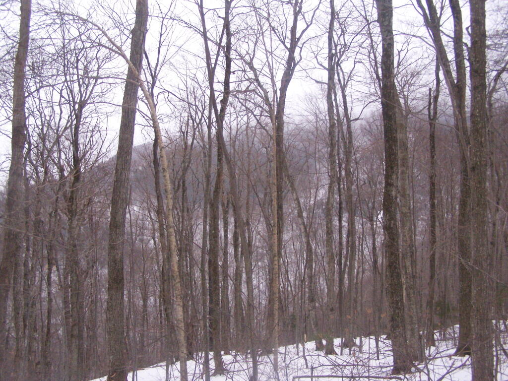
Looking up towards the Cut Off to Money Brook around 1:30 PM as the snow was rapidly flying around and coming down. It wasn’t quite whiteout conditions, but it was very white. It would change from ice pellets/sleet to snow then to ice pellets, and finally back to non-freezing rain.
By the time I made it back to my truck, it was pouring rain out. Much too wet to get the camera out for sure. I hopped in the cab of my truck, took off my thermal overalls, and got warm. It was a long drive home on very slippery roads, but it was worth it.
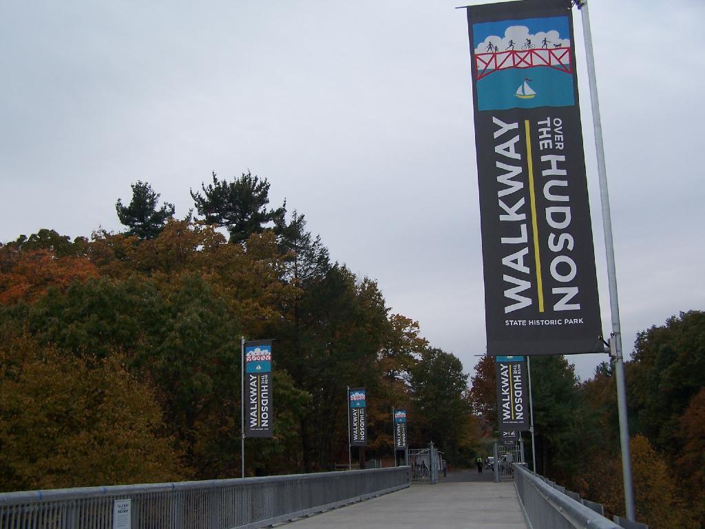
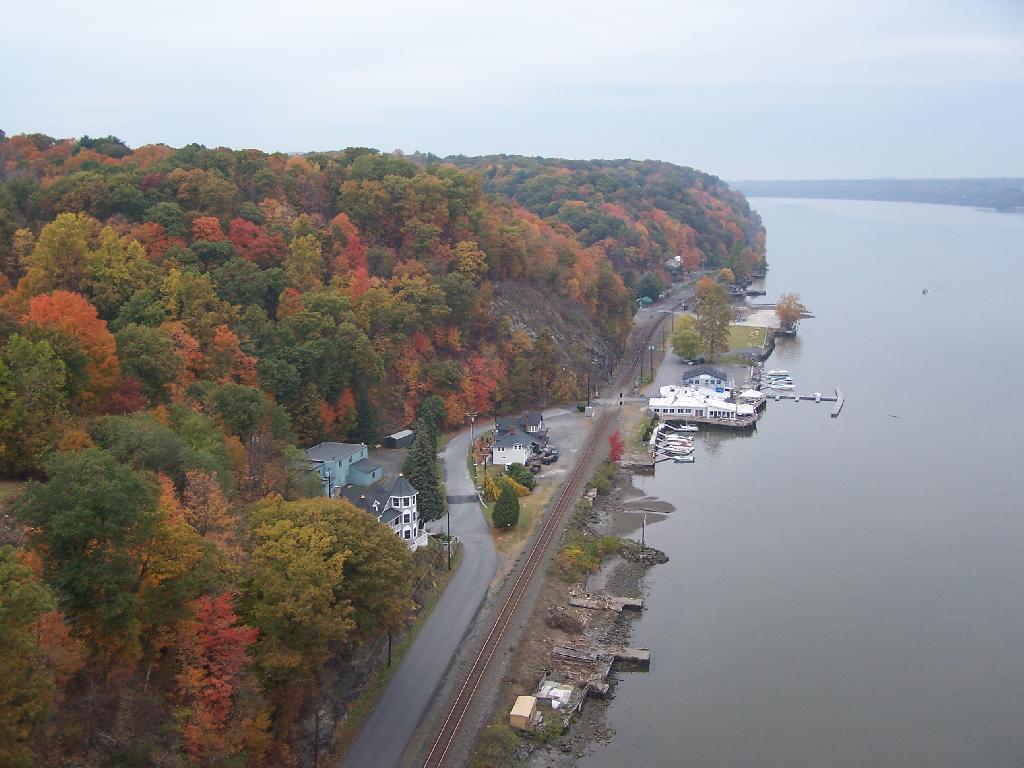
On a rather cloudy day that I had taken off from work last week, I decided to drive down to the Walkway Over the Hudson. I got down there around 9:30 PM, on a cloudy Wednesday, and the parking lot only had one parking spot left on the Pougkeepsie side. It is accessible from the Poughkeepsie side via taking US Route 9 North from Pougkeepsie then turning onto NY Route 9G south. Alternatively, you can access it from Haviland Road in Highland.
The newly extended bike trail leads directly to the Walkway from the rather large Poughkeepsie parking lot. If you can’t find space in the lot, there is plenty of space on nearby city streets.
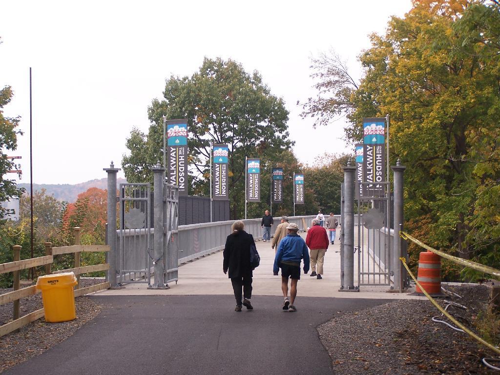
Big crowds of people entering the Walkway.
At 28-feet wide and nearly two miles long, it’s pretty big and wide. Despite probably several hundred folks on the bridge, it doesn’t feel at claustrophobic or tight.
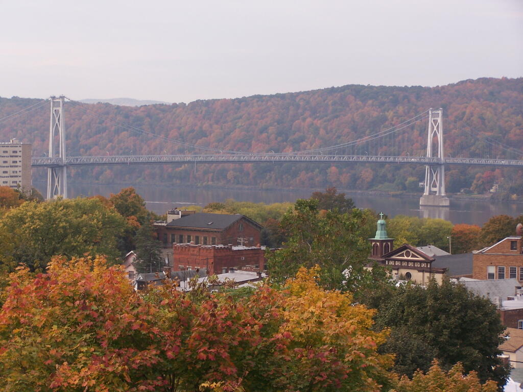
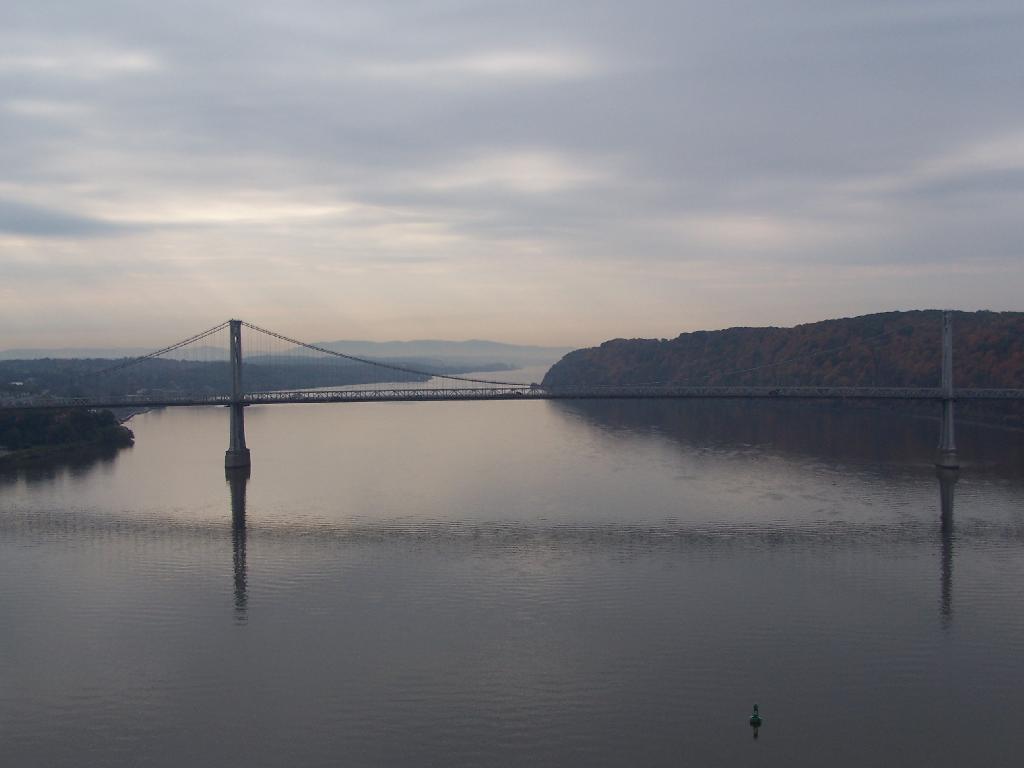
Looking across Poughkeepsie at the Mid-Hudson Vehicle/Pedestrian bridge.
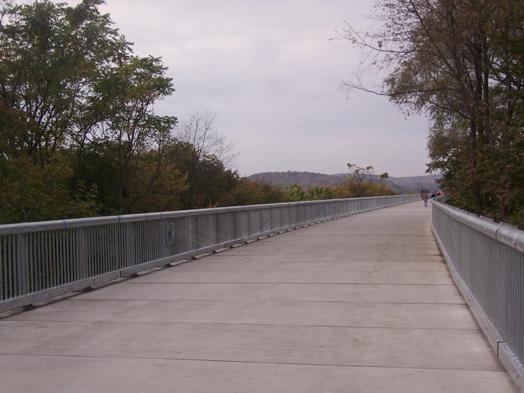
From the center of the bridge looking directly south.
North along the Highland side of the Hudson River.
All and all it is a beautiful walk across the bridge. If you plan on taking some pictures, and want to walk from one side of the bridge to another, you should figure about two hours of time. More at walkway.org.
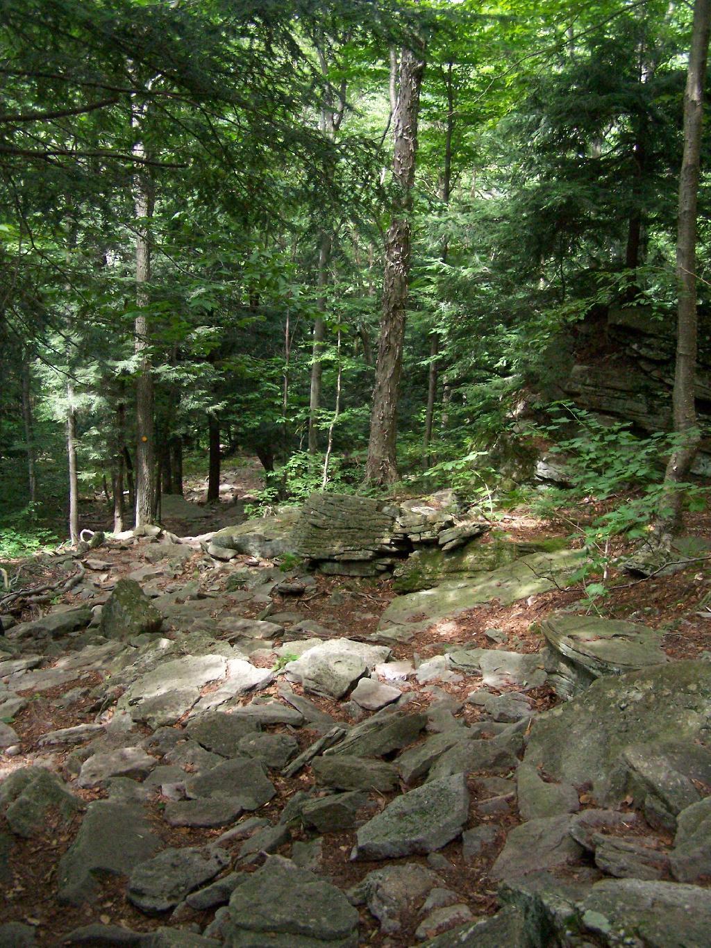
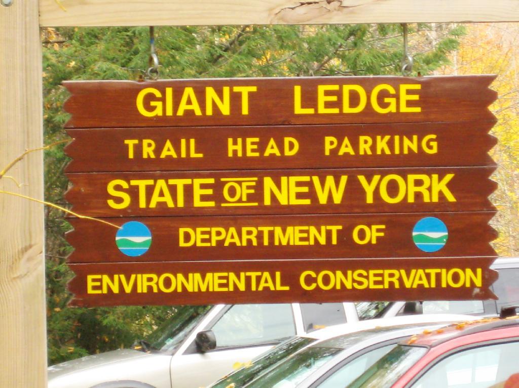
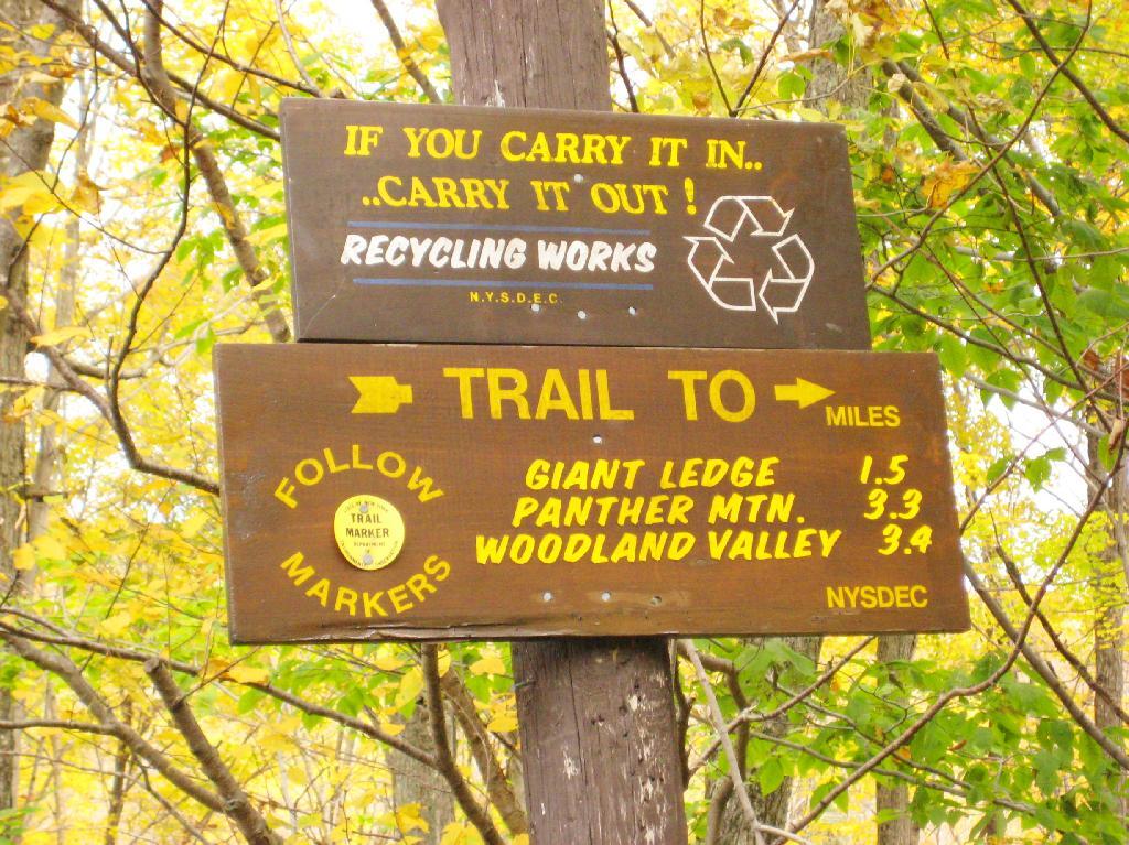
Giant Ledge is a relatively flat hill located on the ridge between Slide Mountain and Panther Mountain. It can be accessed from the Giant Ledge Parking Area, off of hairpin turn on Slide Mountain Road.
I went hiking on Columbus Day, a little past peak foliage system after spending two nights camping out in Schoharie County. It is a short hike.
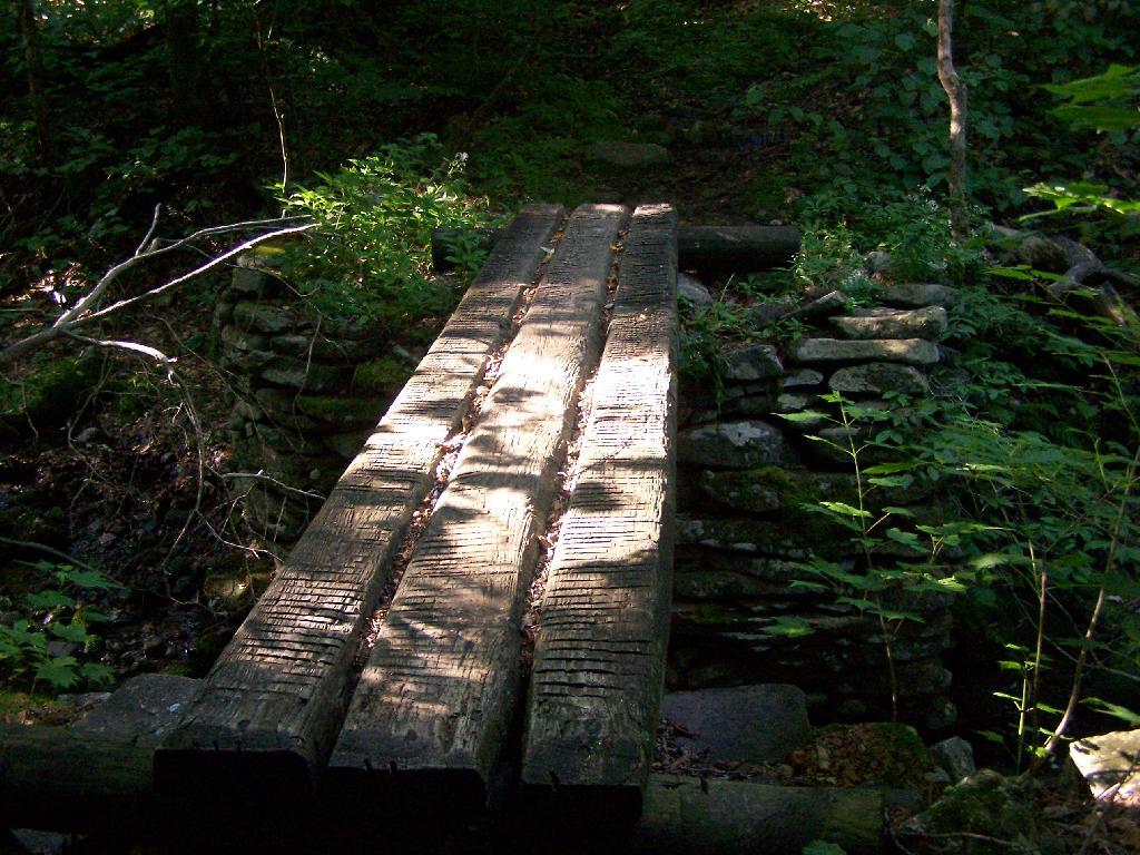
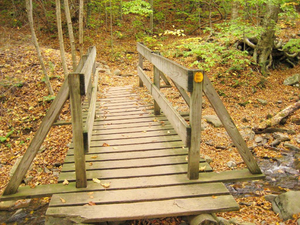
Here is cute little bridge that goes over an unamed creek, running down the northern face of Slide Mountain.
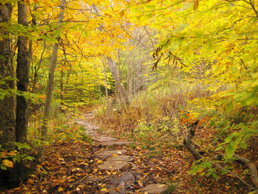
After a moderately steep 3/4 mile hike, you reach the “pass” that goes between Slide Mountain and Panther Mountain. This portion is relatively flat, until you reach the last 150 feet of elevation gain, to reach the top of Giant Ledge.
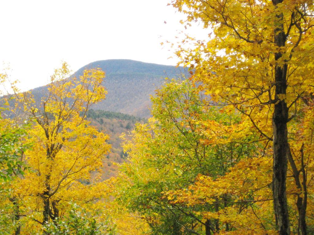
Here is Slide Mountain, peaking through the trees as your going up to the last bit to Giant Ledge.
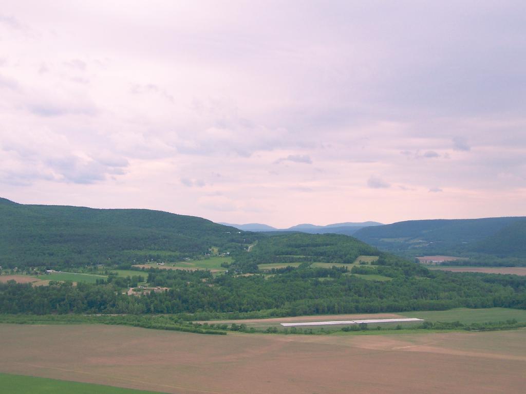
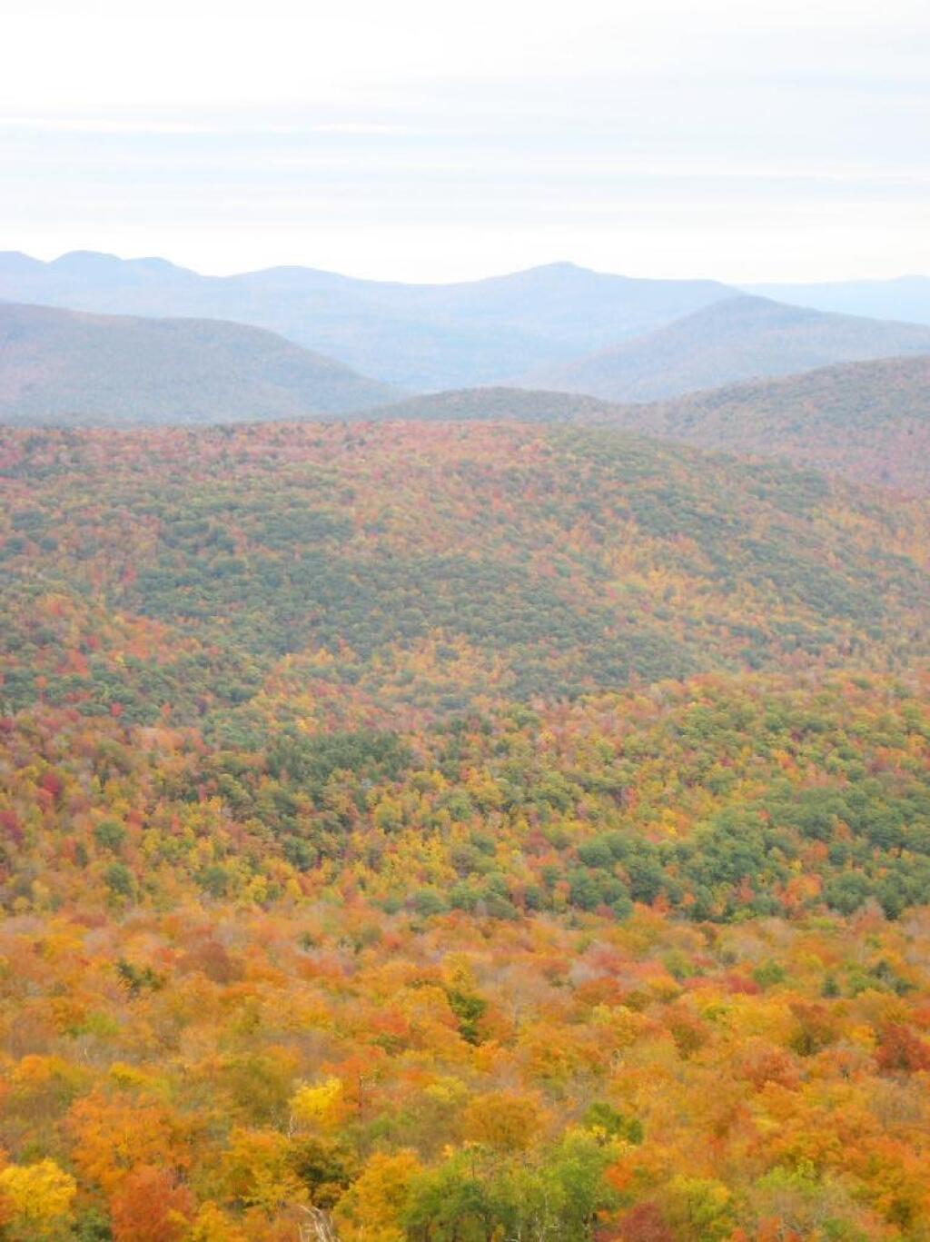
Looking off Giant Ledge, towards Woodlawn Valley (in the colorful foreground), with Plateau Mountain, Twin Mountain, Indian Head Mountain, and in the middle, Tremper Mountain.
Here is the Wittenberg and Cornell Mountains.
This is the Woodlawn Valley’s beautiful colors.
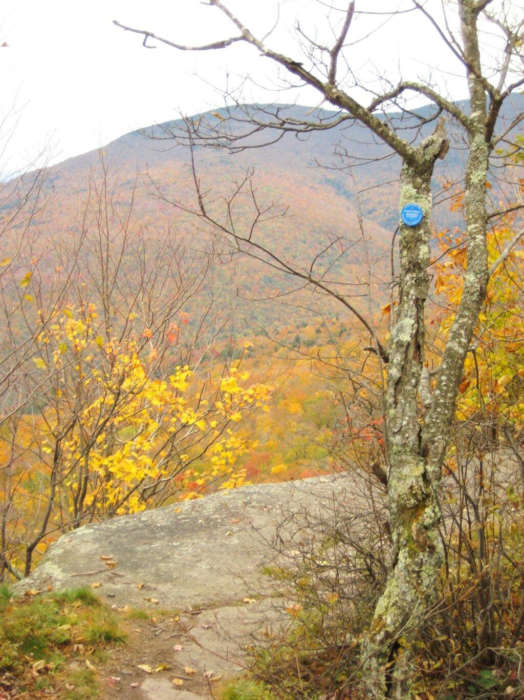
Part of the trail runs right along the edge.
Off the main blue trail on Giant Ledge, there are two campsites at are primative, but nice. This also leads to a trail with views of the Big Indian Valley
Here is the second of two designated campsites on Giant Ledge. There are no campsites on Panther Mountain, which is too high to allow camping. There also is camping on the lower portion Slide Mountain, minus the wonderful views.
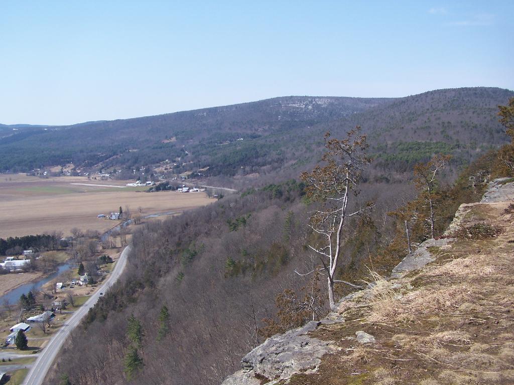
After you hike across the trail to the campsites, there is another short little trail that runs over to a viewpoint with views of Big Indian Mountain, and the Big Indian Valley (where Slide Mountain Road runs).
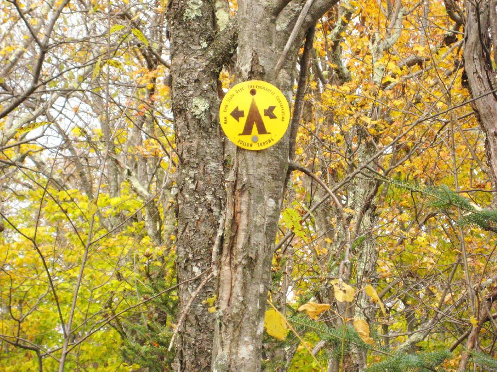
From here, I hiked up Panther Mountain. Here is a map of the hike.
I decided it was a nice day out, and I wanted to be able to say I had gone up to the tallest peak in the Catskills, at 4,180 feet. According to Wikipedia, it may actually be somewhat taller then that (as much as 4,200 feet), but they’ve never done a bench mark on the top of it.
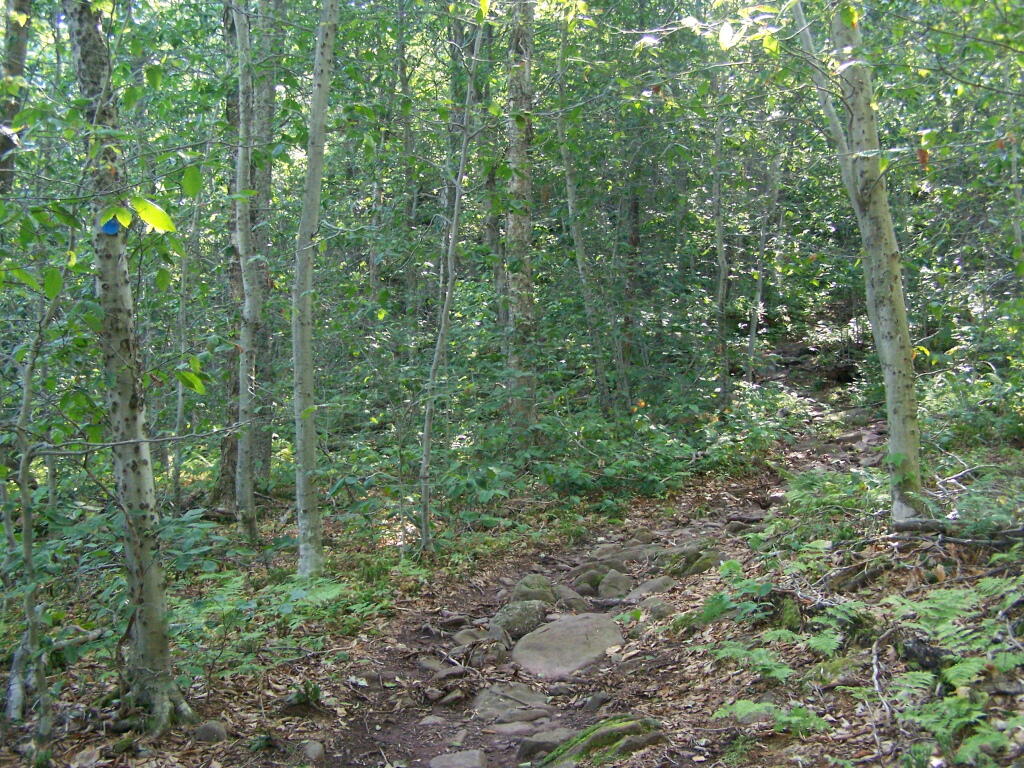
The first part of the trail is fairly steep.
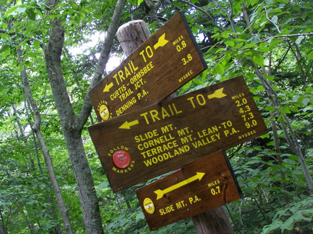
It climbs up to an old woods road, that is an easy walk and relatively flat, as it goes up to the Curtis-Olsbee Trail. You see the split between the old Jeep trail up Slide Mountain, and the the trail to Curstis-Olsmbee.
The trail crosses a high footbridge, without rails. It once was a full-size bridge for vechicles, but no more.
Reaching a historic marker of Curtis-Olmsbee Trail.
You climb, and then there are some places with views to South and West as you continue along. A few moderately steep places, but overall the trail is not super-steep.
The trail once you reach the first couple of views, remains relatively flat as you wander past several swamps and borreal forests.
When you reach almost the top there is a point where you can see almost 70 named peaks.
Enjoying the mountains.
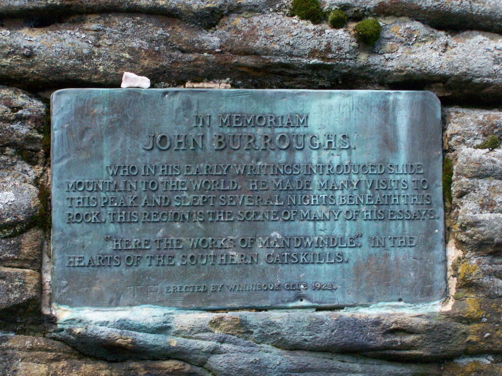
The top of the mountain is John Broughs Point. It has some interesting, partial views to the north and east.
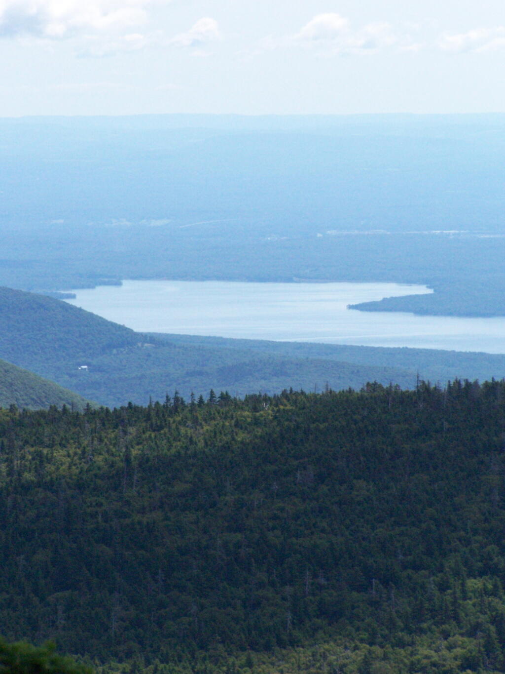
The Ashokan Reservior from Slide Mountain.
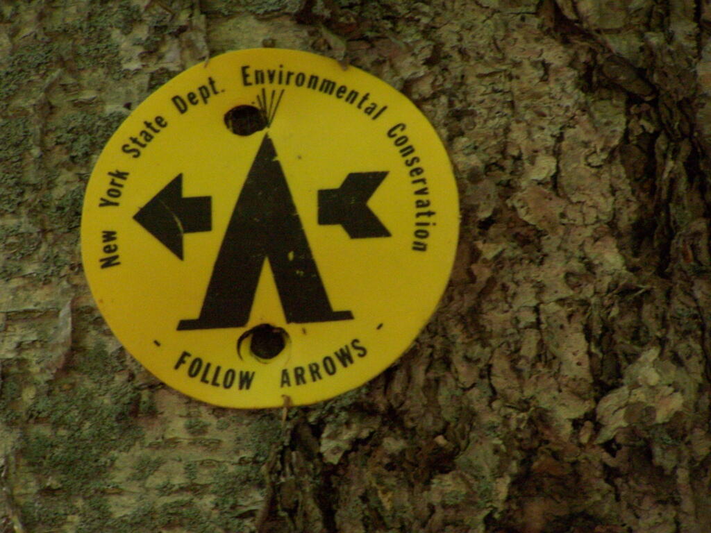
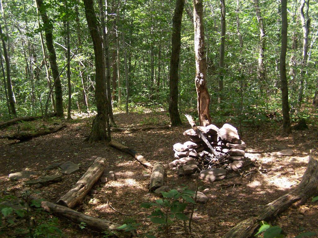
An established, primative campsite about 3/4 the way down the mountain or one mile from the Slide Mountain Parking Area.
I happened to be driving through Watkins Glen on my trip from the Finger Lakes National Forest to Sugar Hill State Horse camp, so I figured I would take a walk up the trail once again. I’ve been there before, but I figured this would be a chance to get photos when the light was better.
The last time I was there it was early in the morning. This proved to be a problem for photograhpy, without a tripod, because it was so dark in there. It was much lighter in the middle of the day, abit much more crowded. It also was a very humid day out there.
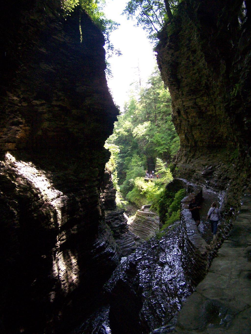
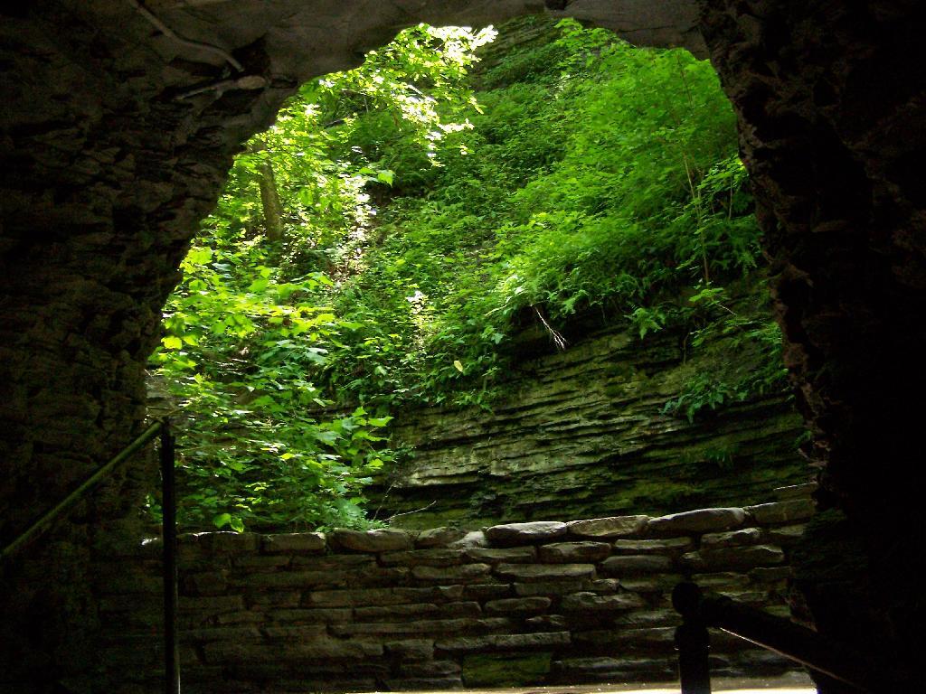
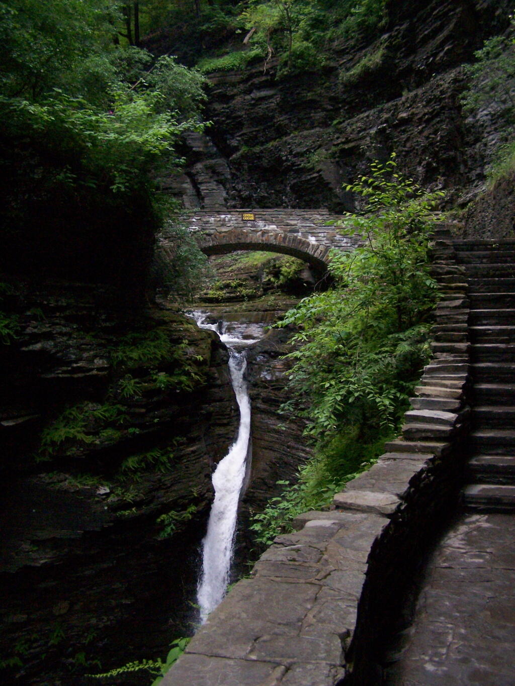
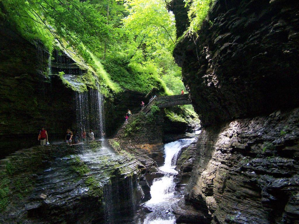
In several sections of Watkins Glen the trail cuts through caves to get around mountain faces, then emereges out to the most beautifully lit green areas.
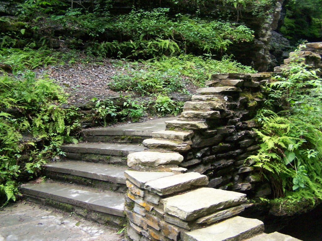
The trail follows the edge of the Glen, crossing it several times on beautiful stone bridges.
The trail is beautifully designed and a pleasure to walk, although on a humid day like today, it was pretty hot, despite being largely in the shade.
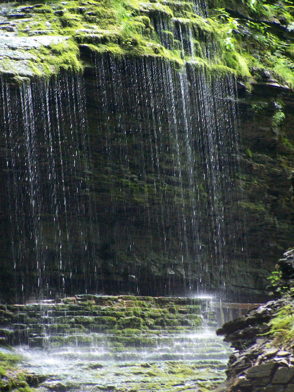
The trail goes under several waterfalls, and after the week’s rainy days, it was pretty wet in spots.
And almost magical scene in Watkins Glen. This whole area somewhat spirtual feeling, especially on the backdrop of such rich greens.
When you reach the top of the glen, the waterfalls become farther appart and less steep and the creek is relatively flat.
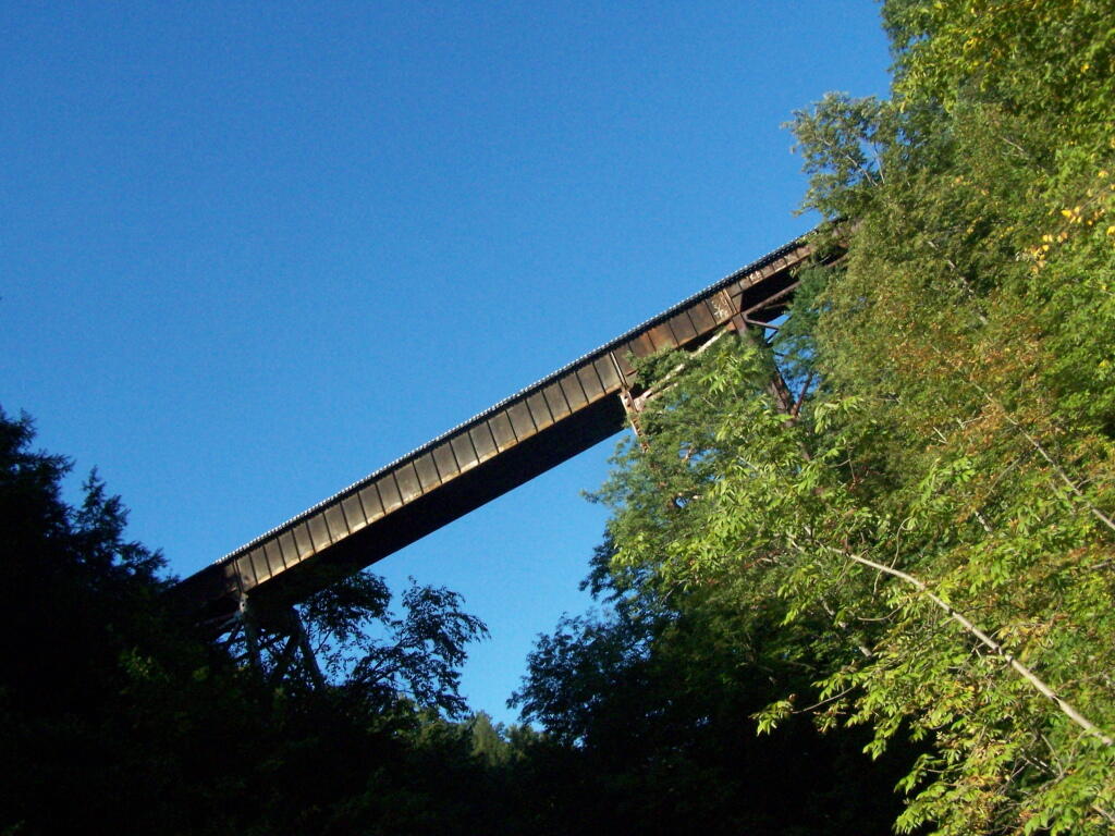
At the top of the Glen is this old railroad bridge. It appears the line is actively used; it would be neat to capture a train going over the Glen. Maybe someday.
Here is a map of the trail I walked in Watkins Glen.
After spending the night at Burnt Rossman I decided to go up Vromans Nose for a short hike, where I could sit out and watch over the Schoharie Valley and take some pictures. I’ve been up Vromans Nose a dozen of times before, but it’s always nice to go up for another visit.
The old roadbed up the mountain.
The edge of the mountain.
With thunderstorms coming in the sky was the most interesting of colors.
I spent about an hour up there before coming down.
![Across the Potamac River to West VIrigina [Expires November 12 2023]](https://andyarthur.org//data/photo_003065_large.jpg)
![Thematic Map: 2024 Presidential Election - Capital Region [Expires November 1 2026]](/data/photo_17216_small.jpg "Thematic Map: 2024 Presidential Election - Capital Region [Expires November 1 2026]")