outdoors

Mallet Pond State Forest, Aug 29

Mallet Pond State Forest is a smaller state forest (2,584 acres) across the valley from the Burnt-Rossman Hills. While smaller, it is still rugged and remote, with rough dirt roads, two ponds, camping sites, and public lands to explore. Many of the roads around it are poorly marked and heavily posted, however if you follow the below map, and drive up to Summit on NY 10, and take Sawyer Hollow Road to Rossman Fly Road, it’s not as bad to locate.

 Brown Road

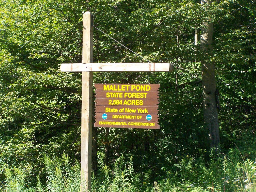
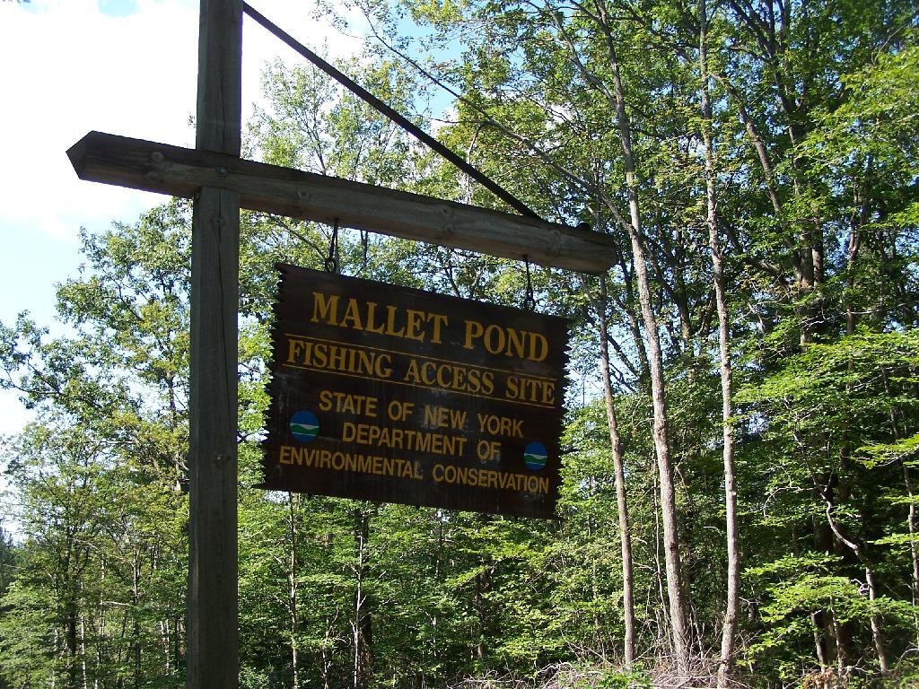
Mallet Pond State Forest Sign

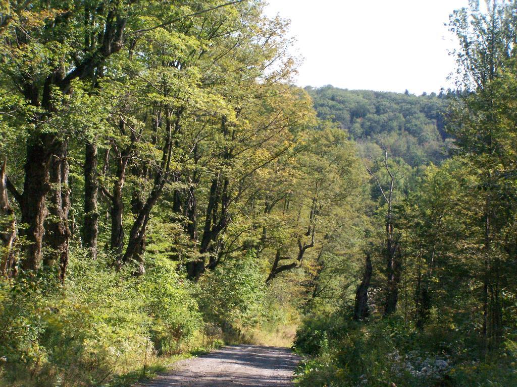
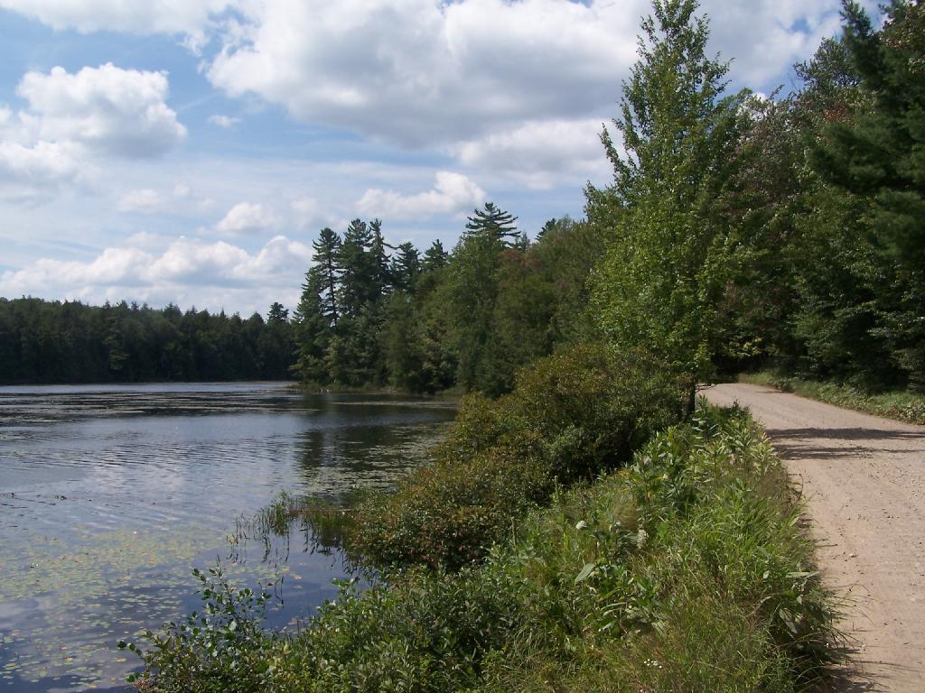
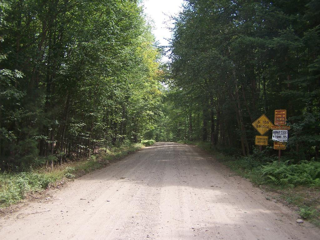
Rossman Fly Road. This is from the intersection, as it head down into the valley where Rossman Pond and Mallet Pond are located.

Rossman Fly Road

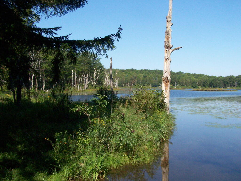
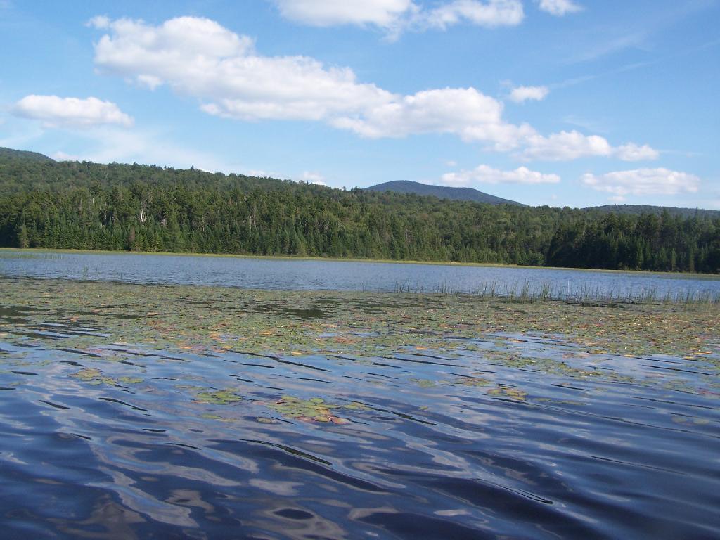
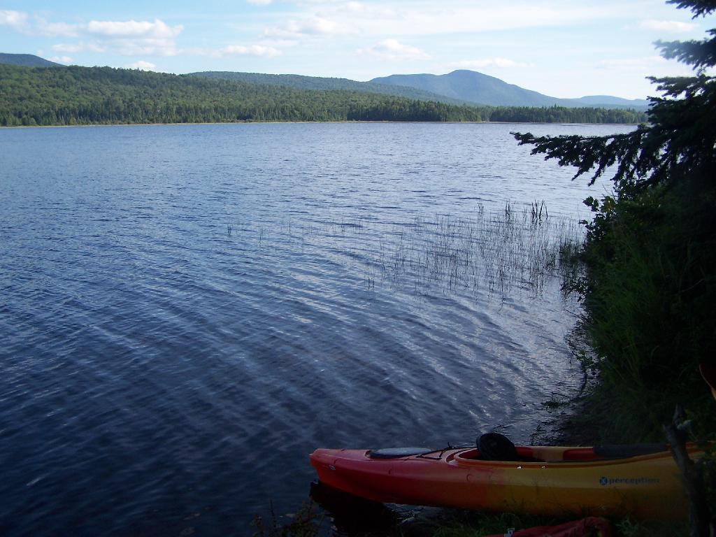
Rossman Pond. There are a series of hunting campings and private houses located along the other shore. The state only owns about 1000 feet of frontage along the lake, basically enough for a campsite and a parking area.

Rossman Pond

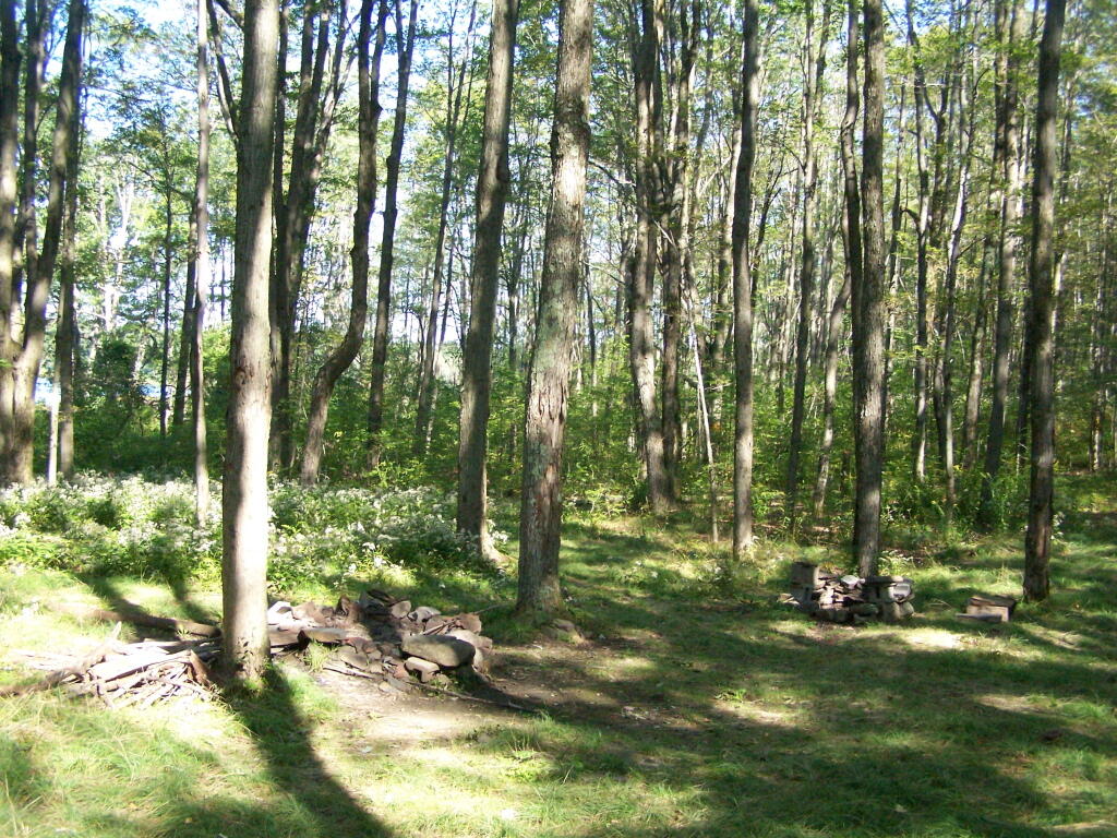
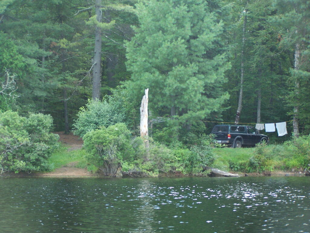
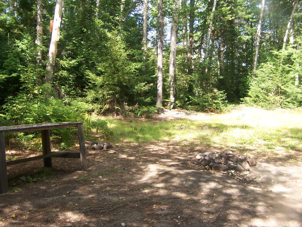
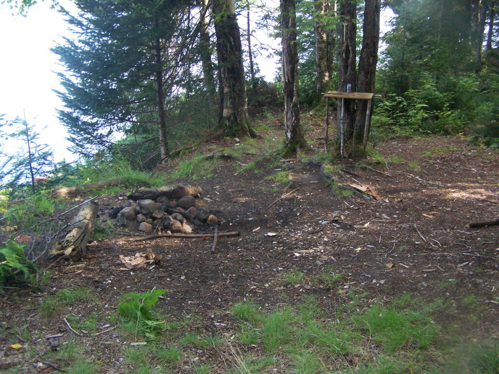
Campsite at Rossman Pond. This is one of the many informal campsites in the area. None of them have designated markers, and don’t comply with state set backs, but as witnessed by the wear and tear on the grass, and mention in the Unit Management Plan, they are well used and recognized as such.

Campsite at Rossman Pond

I drove down to Mallet Pond Parking Area. Unlike Rossman Pond, Mallet Pond actually has a sign showing where it is. There are no other signs for Mallet Pond from here on down, but the road is easy to follow to the pond.

Mallet Pond Sign

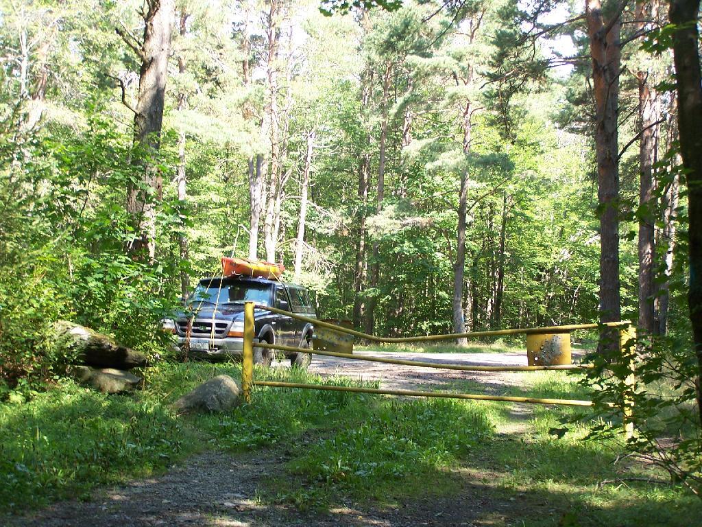
Gate at Mallet Pond. There is a gate 1/2 mile from Mallet Pond. Normally I don’t like gates and keeping the public from driving down to their lands, but Mallet Pond is kind of nice being so remote for camping, fishing, or wild life observation. Rossman Pond, which you can drive right up to, has no such gate.

Parking Area

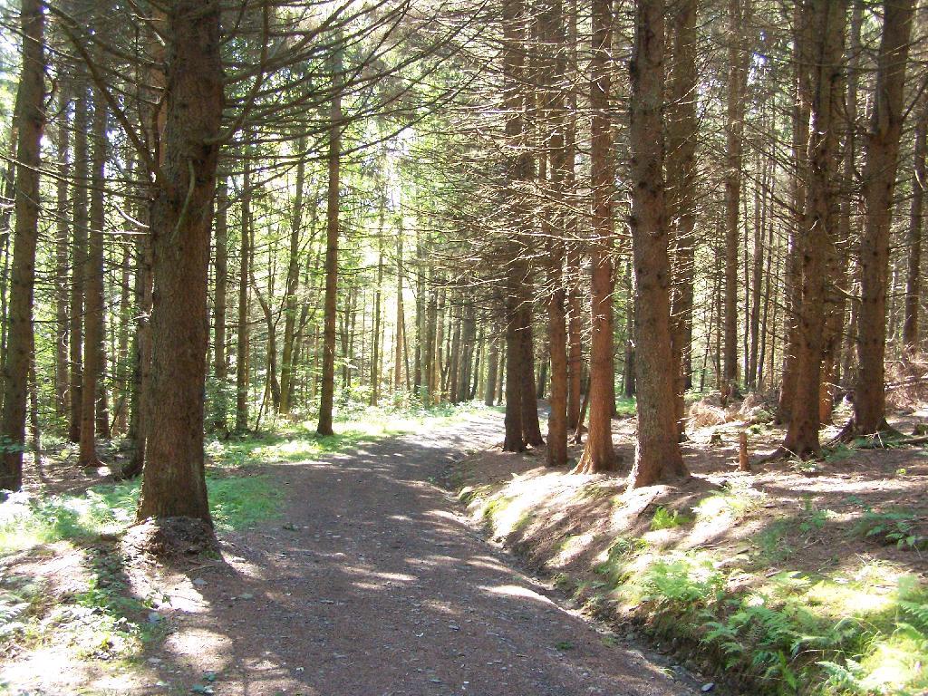
Path Down to Mallet Pond. It’s handicap accessible and if their wasn’t the gate, you could drive all the way down to the pond.

Path Down to Mallet Pond

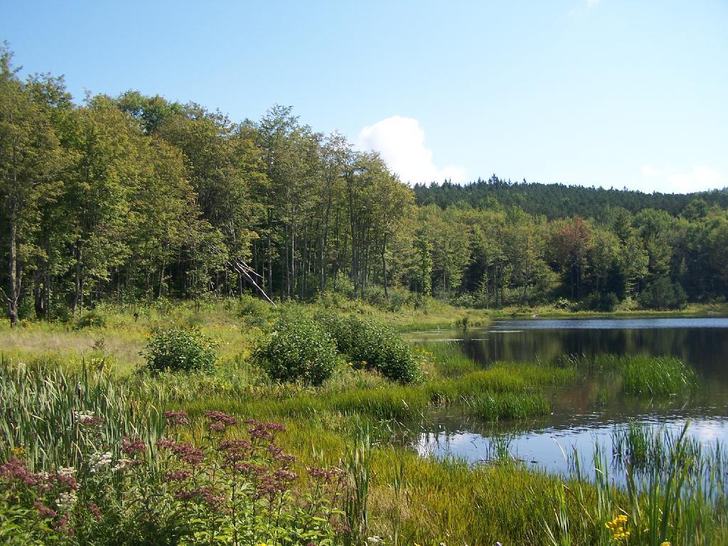
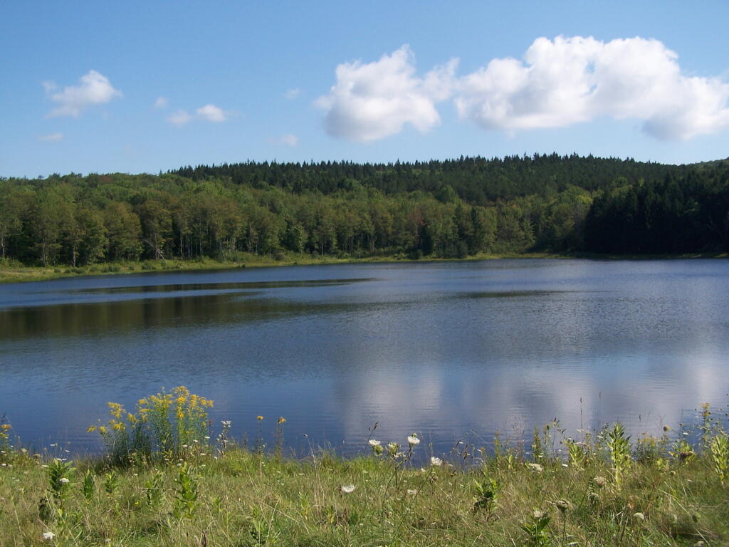
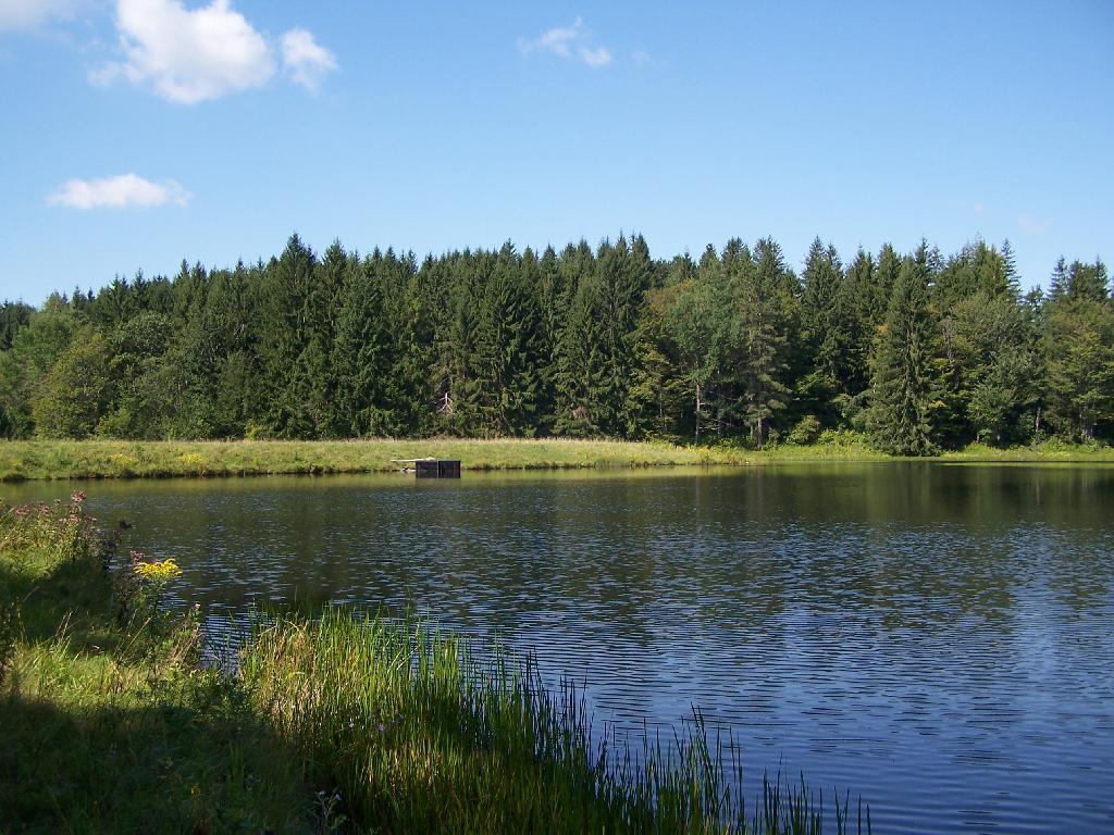
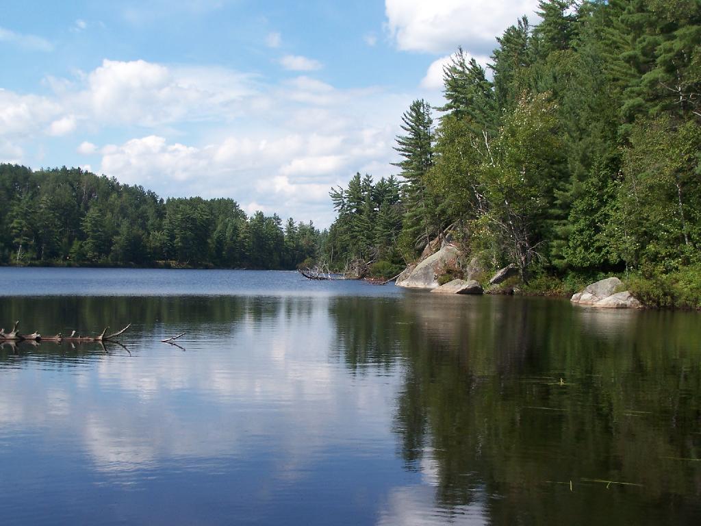
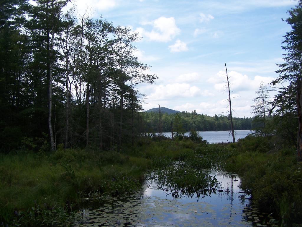
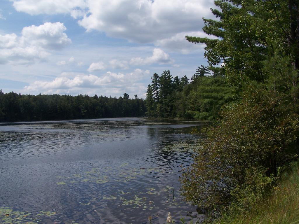
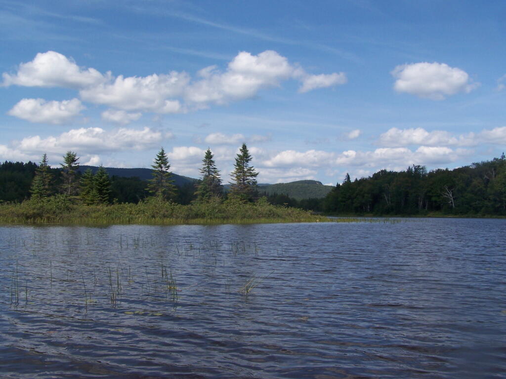
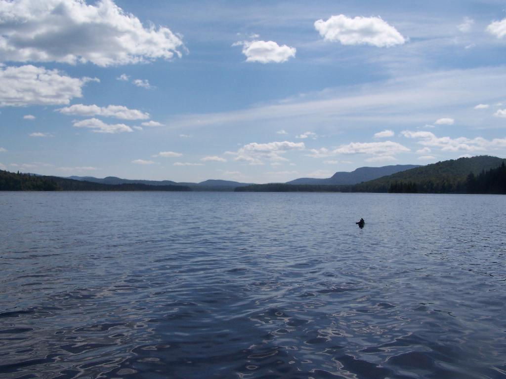
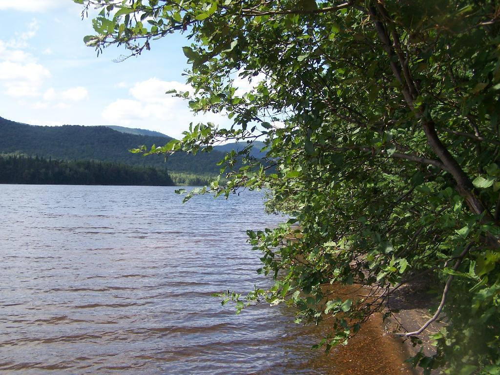
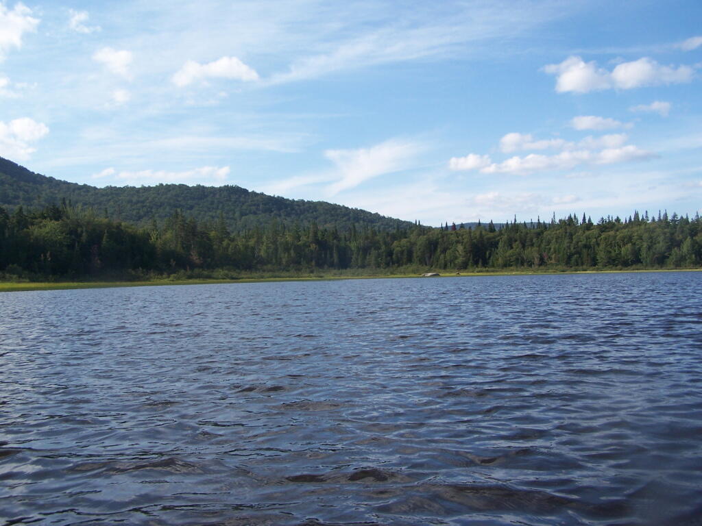
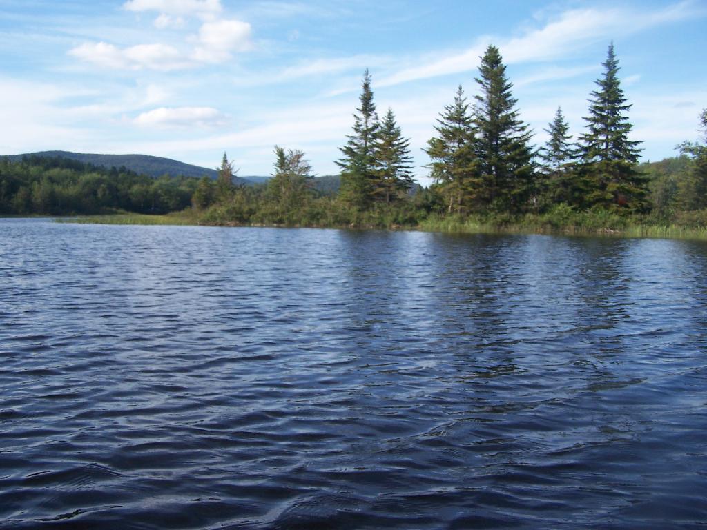
Mallet Pond. It certainly is a beautiful little pristine pond, a ways off the beaten track.

Mallet Pond

Campsite. For being the “party” lake for SUNY Cobelskill students, it was remarkably clean and well upkept. Maybe those farm kids actually take care of the land. Actually, most of the lands around here are well upkept, in part thanks to Ranger Tom Edmons too.

Campsite at Rossman Pond

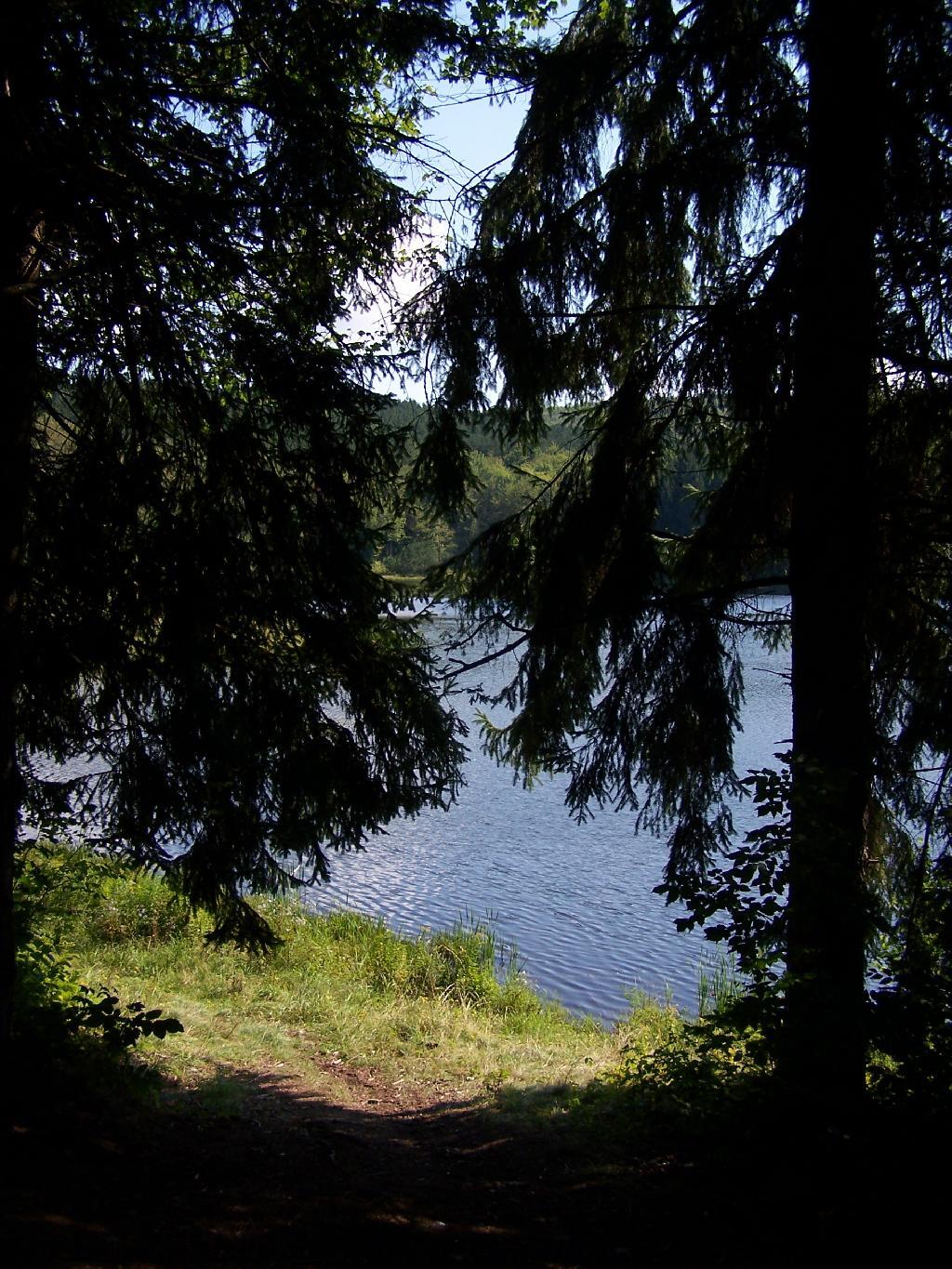
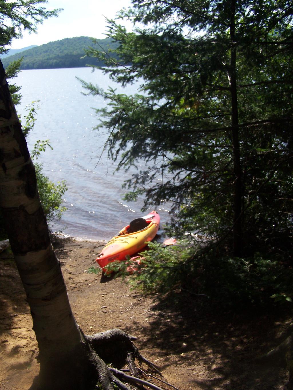
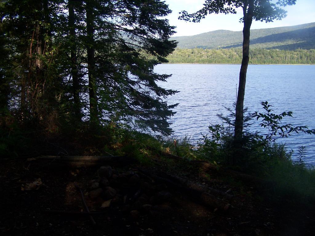
Pond from Campsite. It certainly was a pretty little campsite up on the bank.

Pond from Campsite

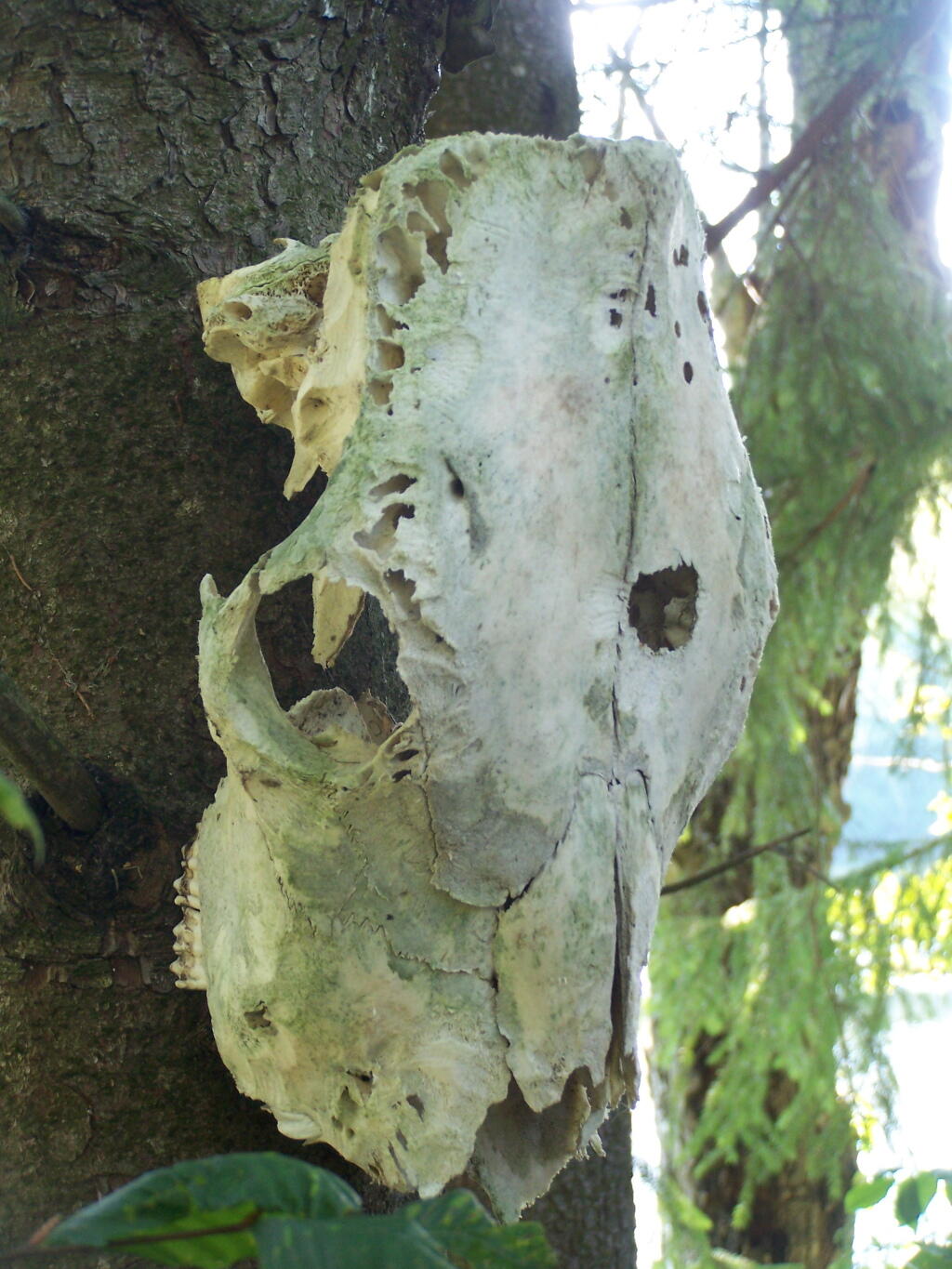
Cattle Skull. This cattle skull was hung up at the campsite on a tree. Cool! It appears to be from a dehorned cow, and the lower jaw is missing. I’m guessing it was brought on up by a SUNY Cobelskill Ag Student.

Cattle Skull

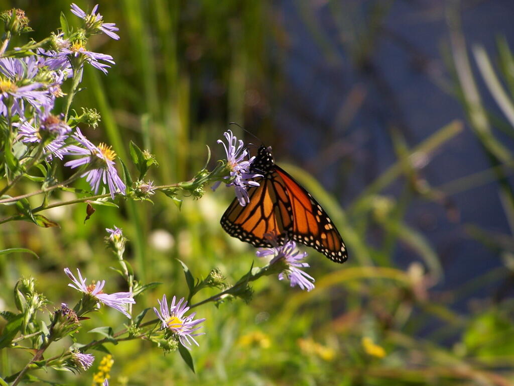
Butterfly. Pollinating a wildflower along Mallet Pond.

 Butterfly

Mallet Pond. Standing up on the embankment of the dam.

Mallet Pond

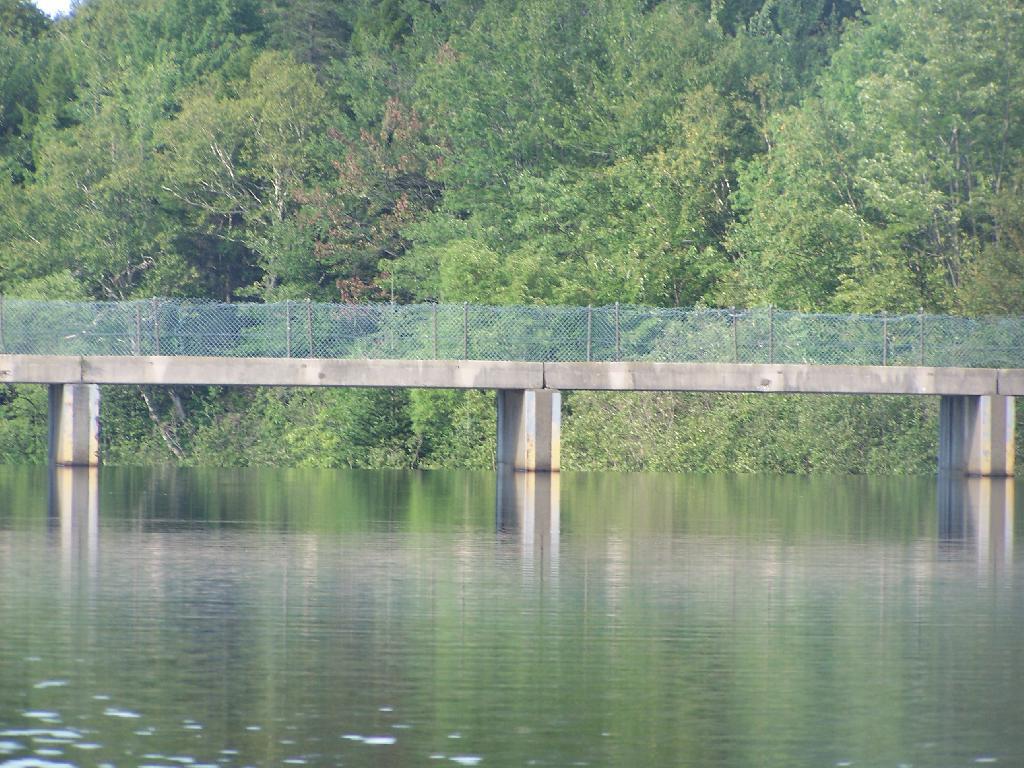
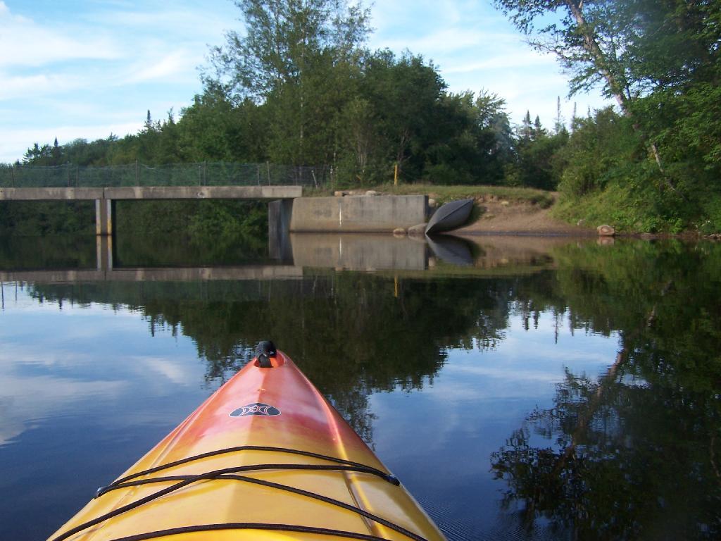
Mallet Pond Dam. The earthen dam that makes up Mallet Pond is about 30 feet high. You wouldn’t know it unless you look at it from a top the dam.

Mallet Pond Dam

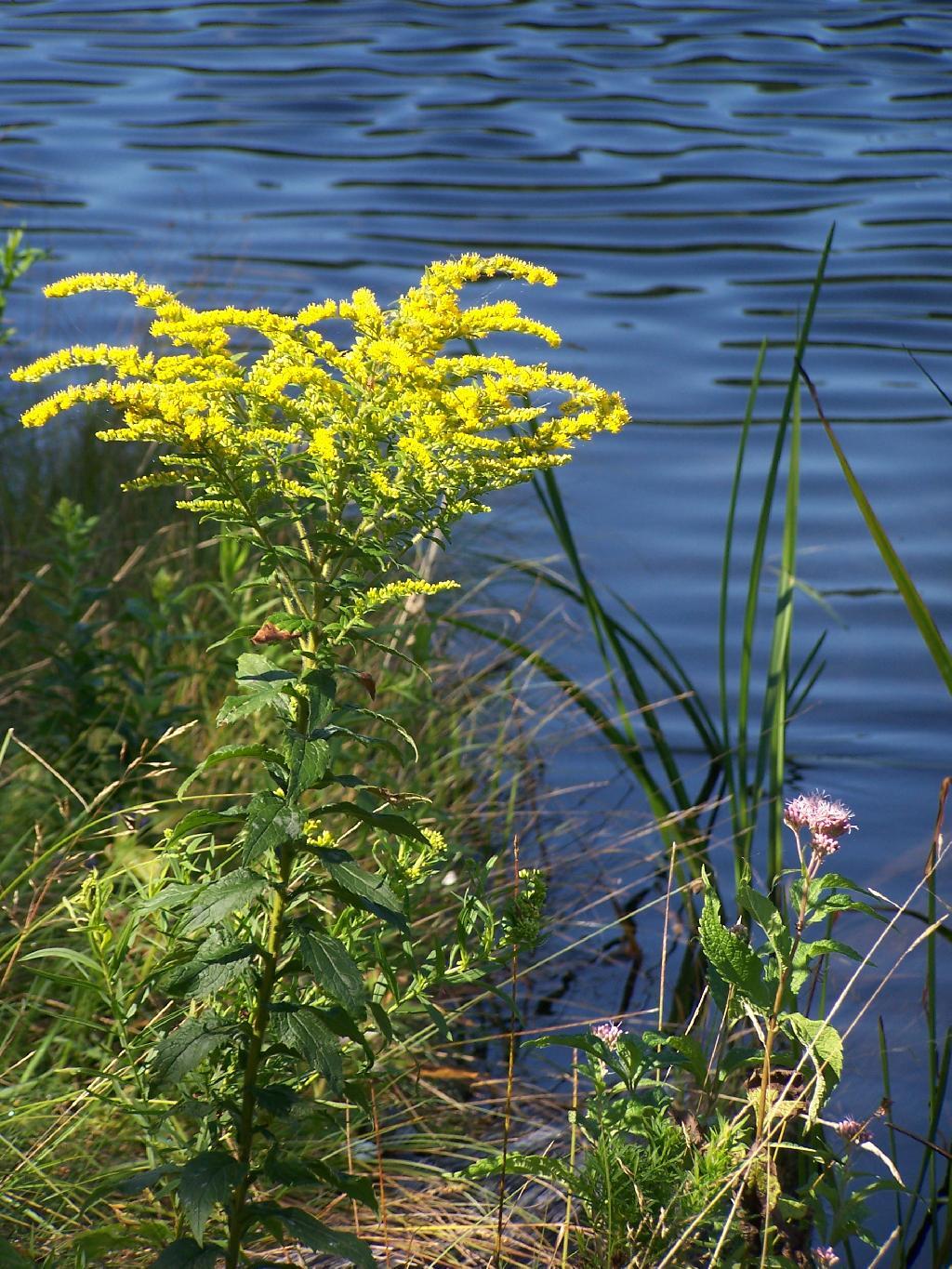
Goldrod. Walking along the eastern side of Mallet Pond.

Goldrod

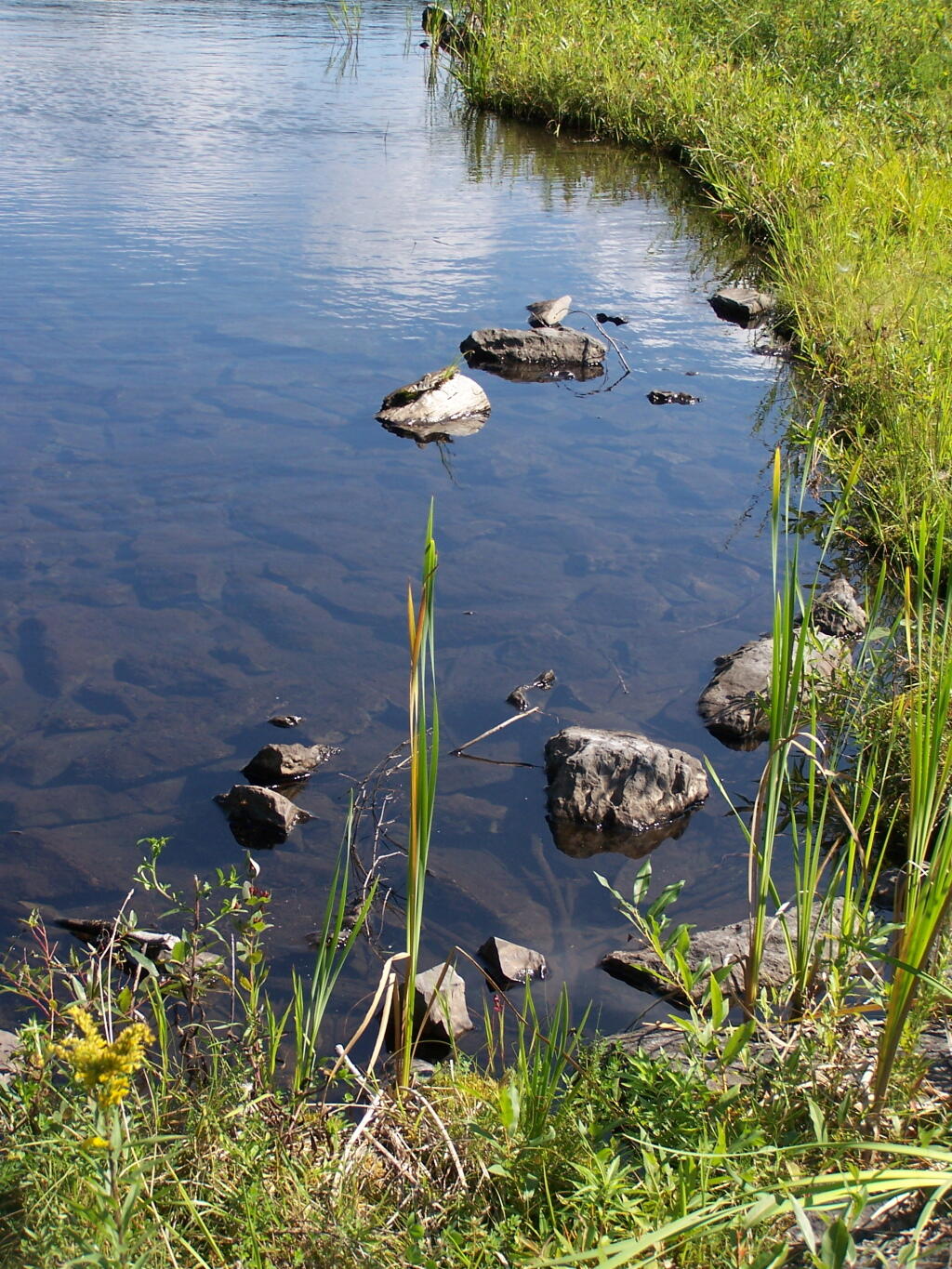
Edge of Mallet Pond’s embankment is made up these large flat shale rocks, and lined with them to discourage erosion over it’s massive earthern dam.

Edge

The upper pond is Rossman Pond, with the campsite right by the parking area. The lower pond is Mallet Pond, which you have to hike down to. Both ponds have undesignated but popular campsites.


View Mallet Pond in a larger map
Camping at Betty Brook, Aug 26

The Betty Brook Campsite remains one of my favorite in NY State, especially because it’s a quick hour drive from downtown Albany out there, over the Thruway and the Warren Andersen Expressway. It almost never disappoints, and it was a great night.

Beautiful Saturday Morning

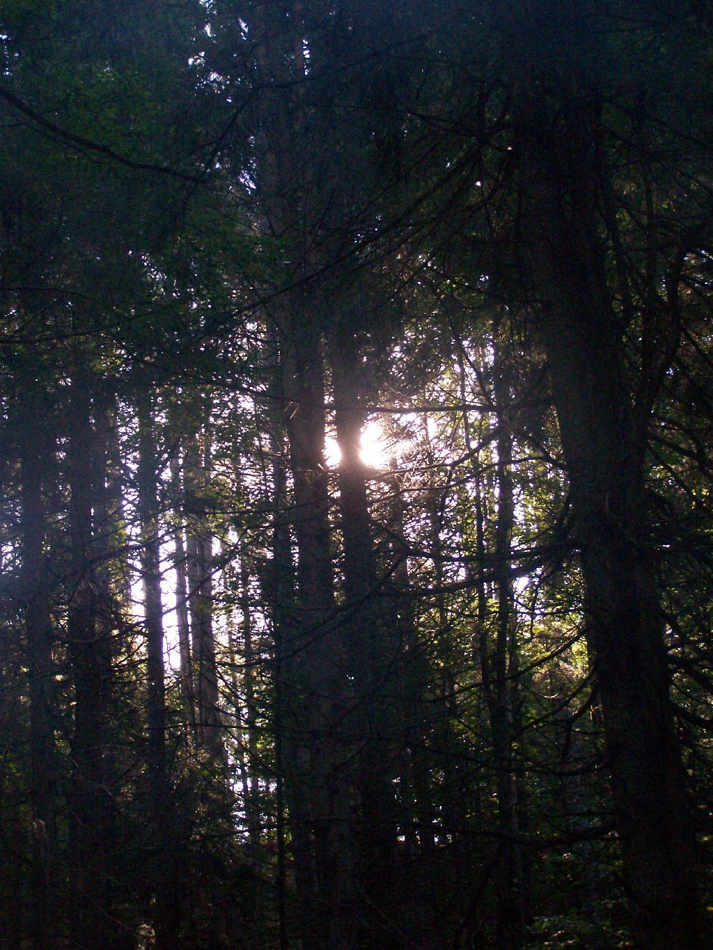
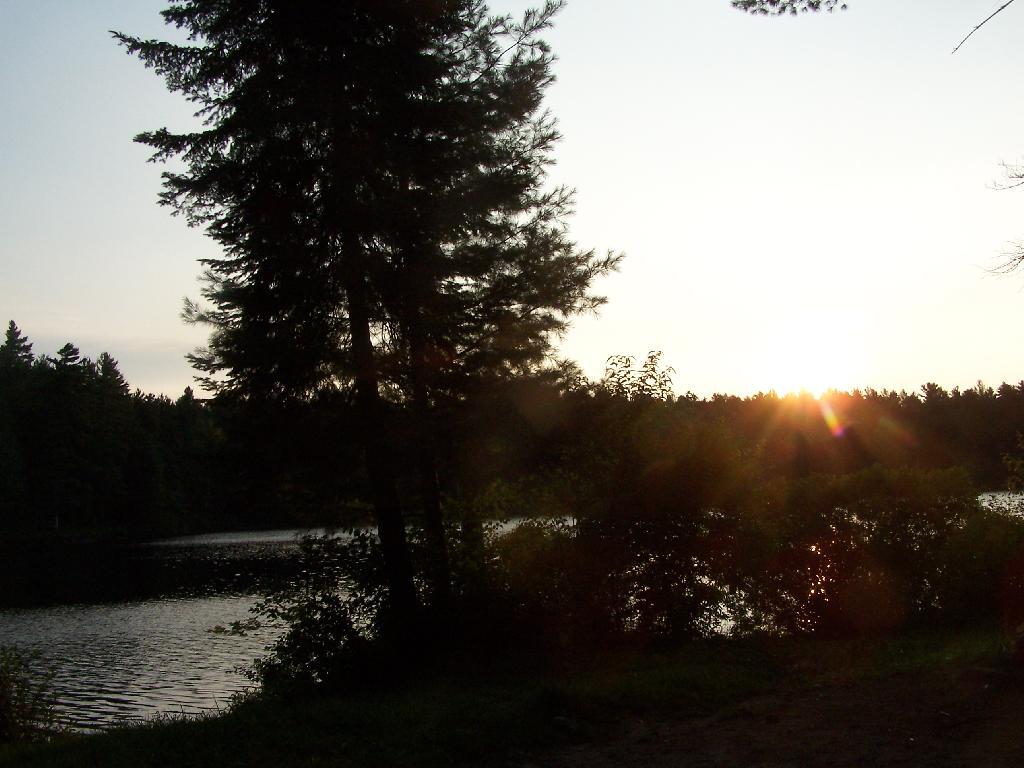
Morning Sun. The valley being so deep around Betty Brook the sun sets early, and rises late this time of year. Looking at the sun through the trees, a little after 9 AM.

Morning Sun

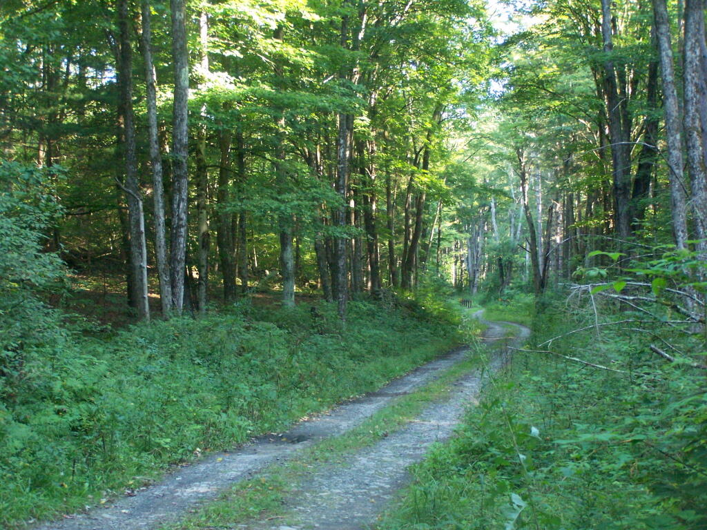
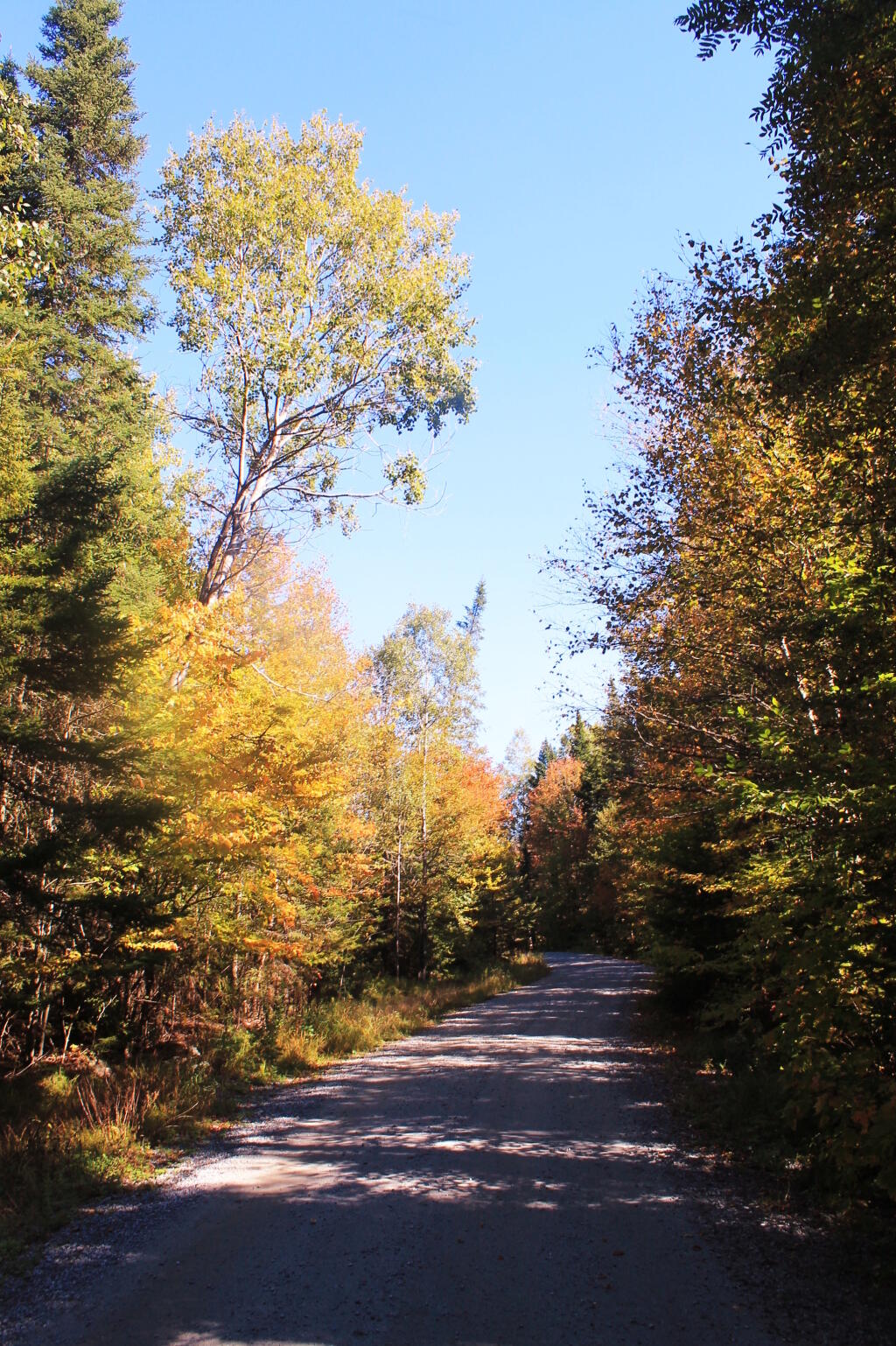
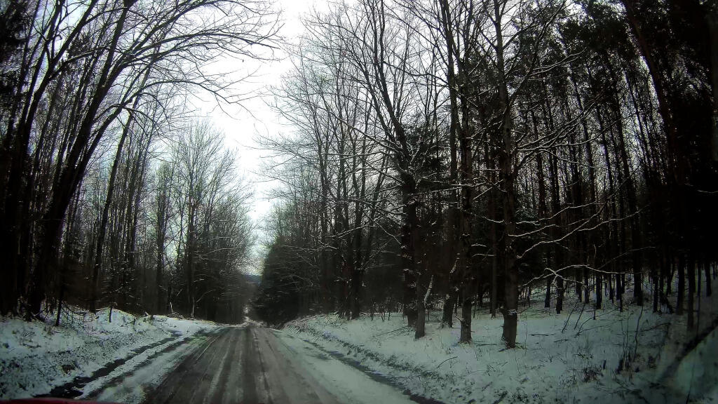
Betty Brook Road. Just looking at this road brings me home, back to my favorite camping area.

Betty Brook Road

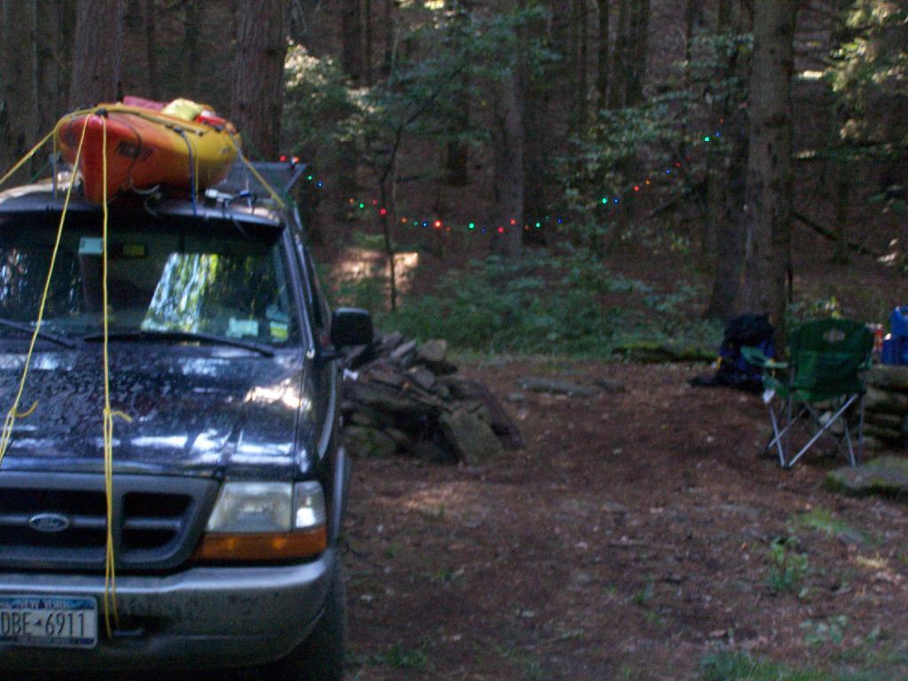
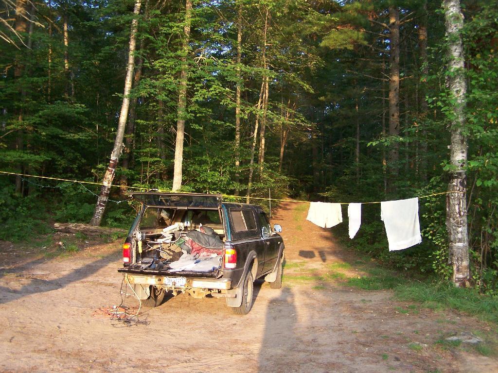
The Campsite. And yes, I of course have my trademark Christmas lights that I always use for ambiance.

The Campsite

Betty Brook Site All Cleaned Up

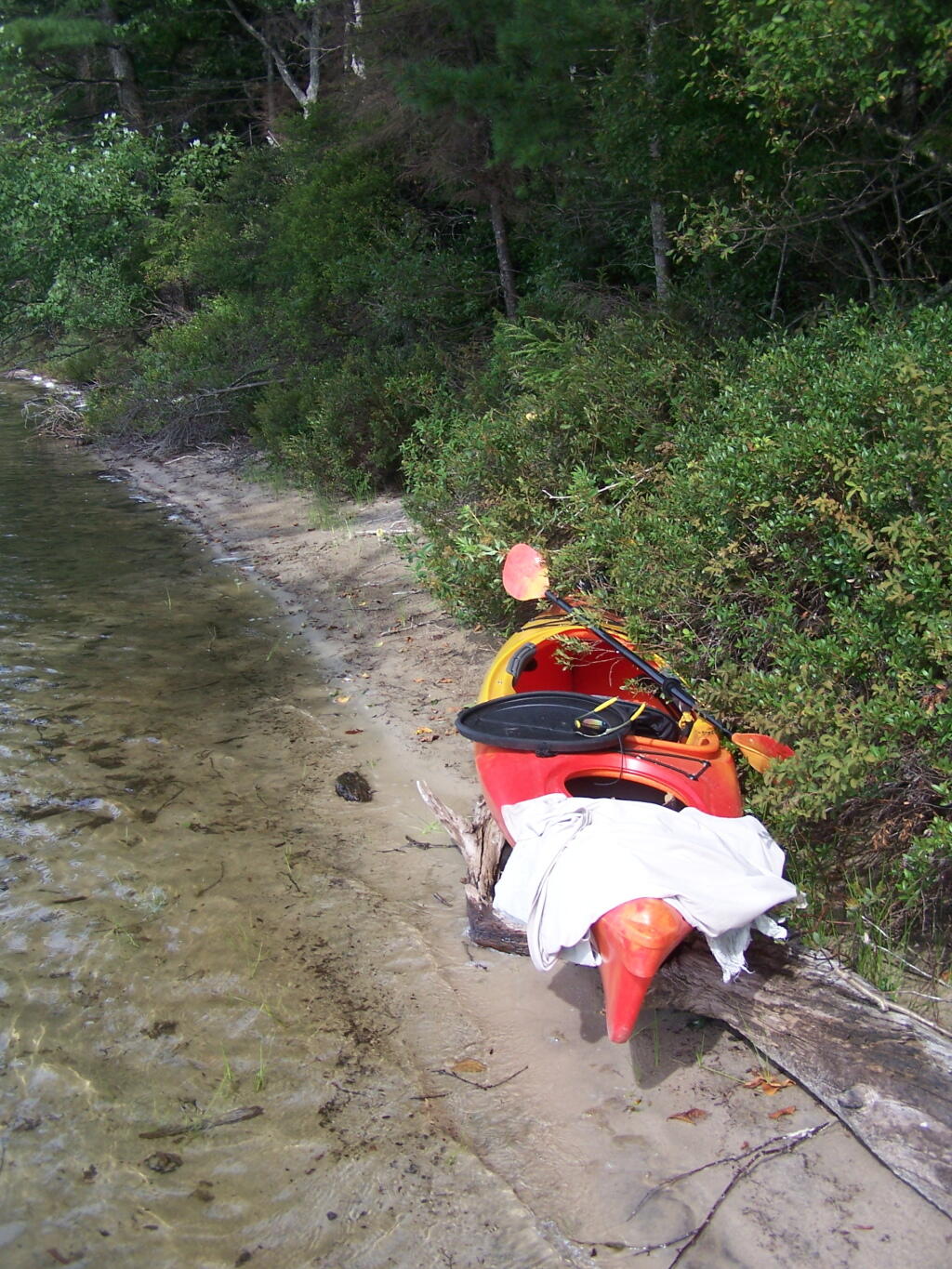
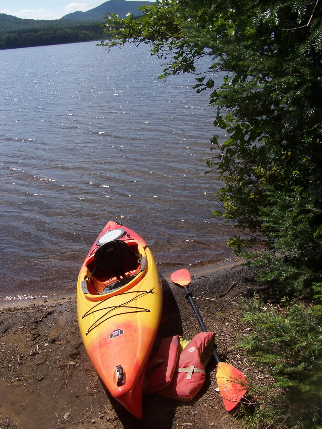
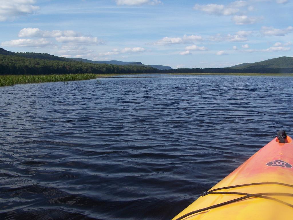
I headed from here, in my truck, up to explore the Mallet Pond State Forest-area just to the north. I probably will camp up at Rossman Pond the next time I am here, because the pond is so pretty and I can paddle around with my kayak there.

Sun Altitude from Horizon

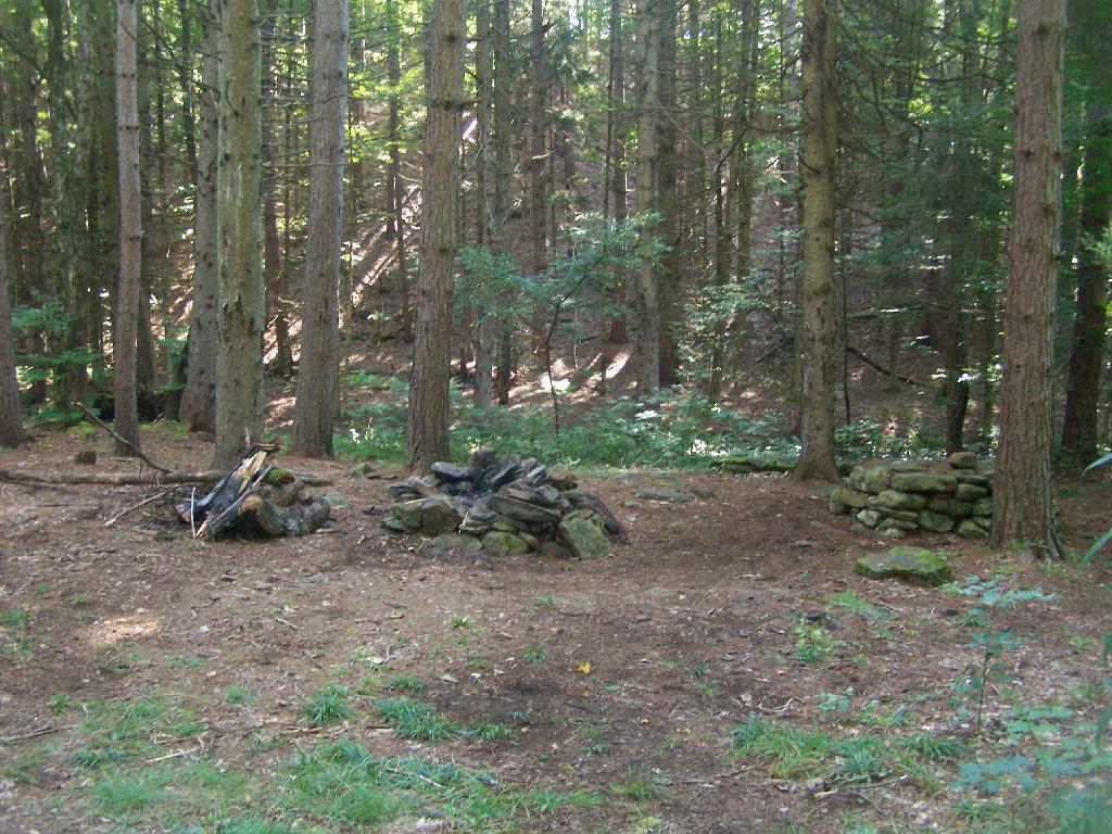
Here is a map of the Betty Brook Campsites. There is a larger one to the south, but I generally prefer the one to the north, as its smaller and the firepit and stone table is much nicer.


View Hiking in 2009 in a larger map
Why Does the DEC Hide Camping Areas?

One of the things that I’ve puzzled over for for some time, is the practice of hiding officially designated roadside camp sites and primative camping areas from their website and from offical signage on primary roads.

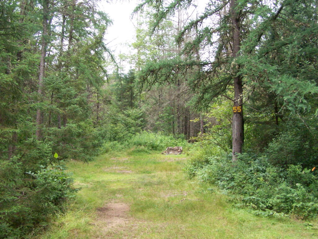
Campsite 55

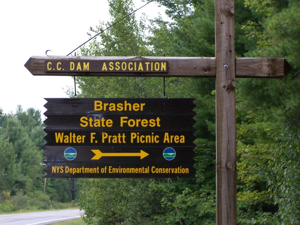
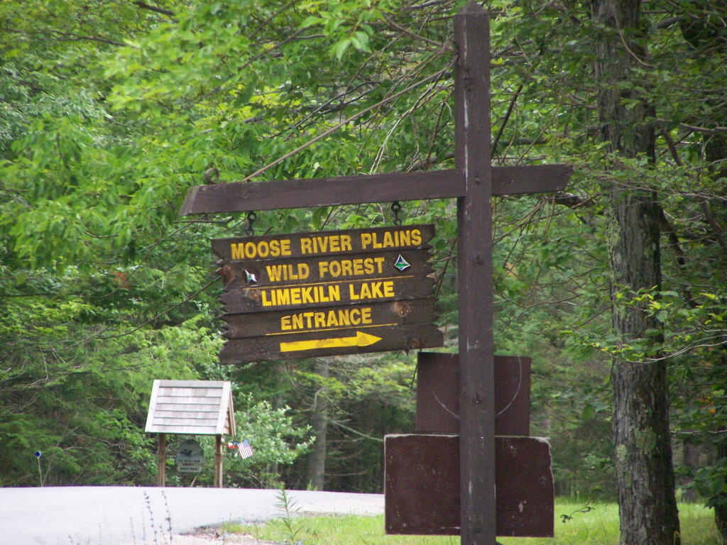
The DEC never puts a sign up along a road saying “Camping Area”, although they do often designate individual sites along the roads with smaller markers. It’s always signed as “C.C. Dam Assocation”, “Moose River Plains Wild Forest”, “Mountain Pond Fishing Area” with no information on camping activities, despite having dozens if not hundreds of designated road-side camping sites.

Brasher Falls Sign

Limekiln Entrance Sign

It’s not like people can’t figure out where primative campsites are located by searching the Internet for other web sites, driving around on state truck trails, checking topographic maps, studying Unit Management Plans, and talking to people who have been their previously. Things are not really hidden, it’s that DEC just doesn’t make it obvious.

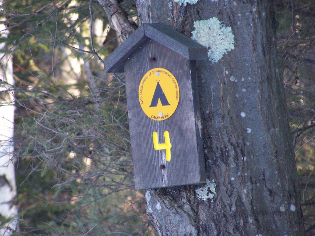
Campsite 4

To make matters worst, the DEC varies greatly in their policy towards putting campsites on their online interactive mapper. Some camping areas are not included in their interactive mapper at all, while other are in part or whole. Some designated camping areas on the mapper, require a free permit from the DEC, although you would never know it from the website.

Adirondack Park Land Cover

The DEC also does not provide public access to the shape files used to draw the data in the online interactive mapper. Despite one’s repeated attempts to contact the Department for acess to that shapefile, the GIS director has never responded. If you wanted that incomplete shapefile, you would probably have to FOIL the agency, and no guarantees that the department would provide access.

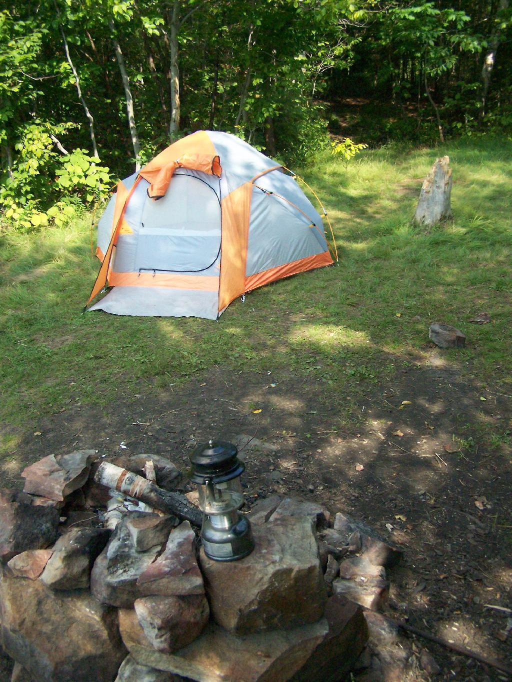
Tent

There are probably a couple of rationals for this disorganized policy towards primative camping:

  • Discourage over use by keeping camping areas known to a limited number of people who’ve spent the time discovering them on their own
  • Discourage ‘casual’ use by youth who seek simply places for partying and generally making a mess with beer cans and other unburnable trash, damage to vegetation, and generally getting themselves in trouble
  • Competition from State-owned DEC Campgrounds, many of which are money makers for the DEC and help fund other activities of the department
  • Disorganization in the DEC regional offices, which may not sychronize their data with DEC Headquarters in Albany.
  • Regional DEC Offices desire not to share with the DEC in Albany, a list of campsites that do not comply with wild forest guidelines due to spacing or frontage issues.
  • Regional DEC Offices would prefer people contact the forest rangers directly about camping opportunities, so they can better control use of their lands and maintain a kind of fiefdom over them.

Reading in the Rain

Regardless, it would be nice if the Department of Environmental Conservation, in the form of it’s regional and state offices, would be honest with the public about camping opporunties across the state. The public owns the land, and the public has the right to know about how it can be used, without directly having to contact individual forest rangers, which may or may not be honest or helpful.

Kayaking Mountain Pond, Aug 14

Mountain Pond is located about 2 miles North of Paul Smiths College on an old routing of NY 30. It is a mile long, has catch and release fishing, and good place for some solitude and flat water paddling. It is in Debar Mountain Wild Forest, with 2 large campsites on the pond, 3 smaller ones on or near the pond, and 10 other along Mountain Pond Road. It’s little used due to it’s remote location, and easy to even get one of the large sites on the lake on the weekends.

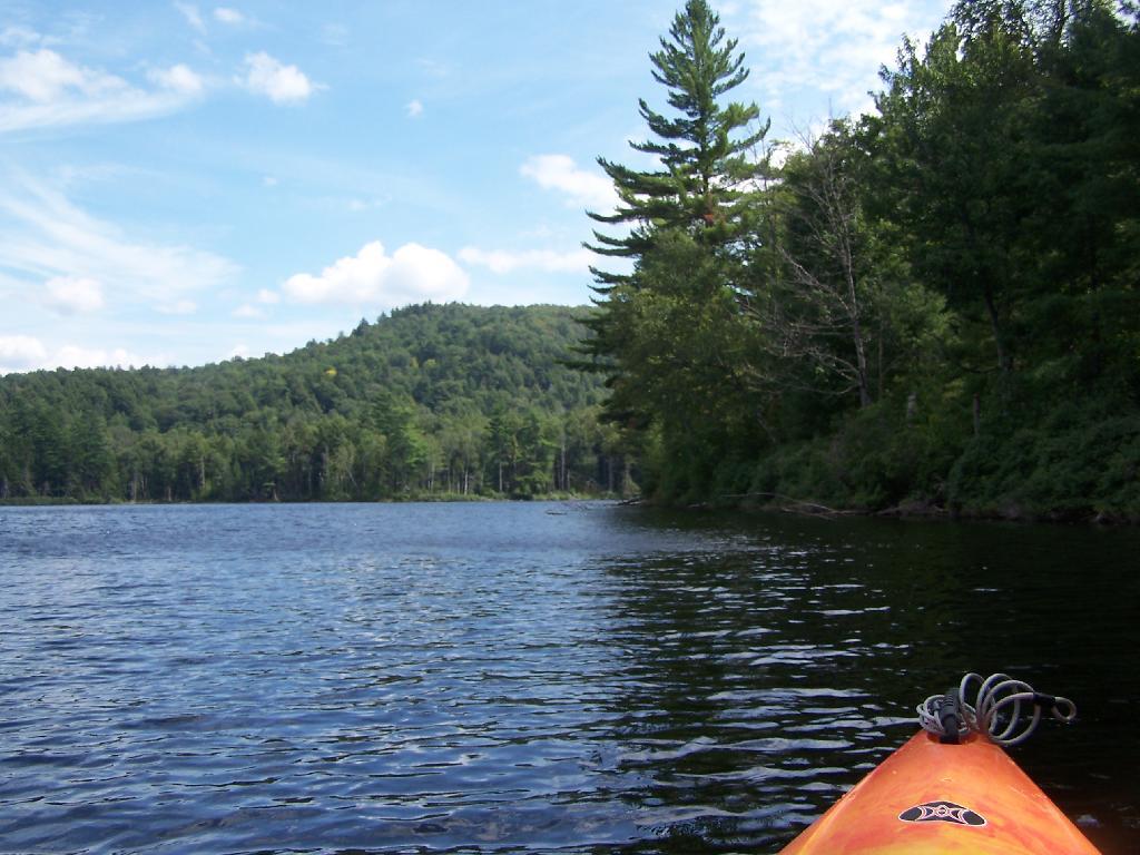
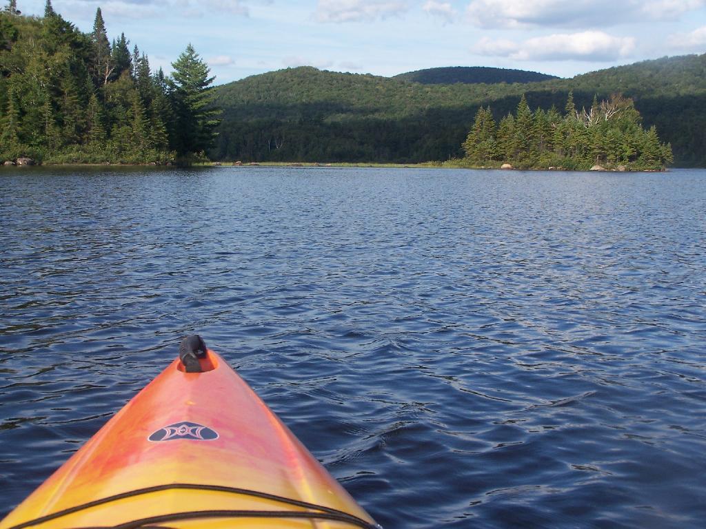
Paddling. Just paddling along Mountain Pond in the kayak.

Paddling

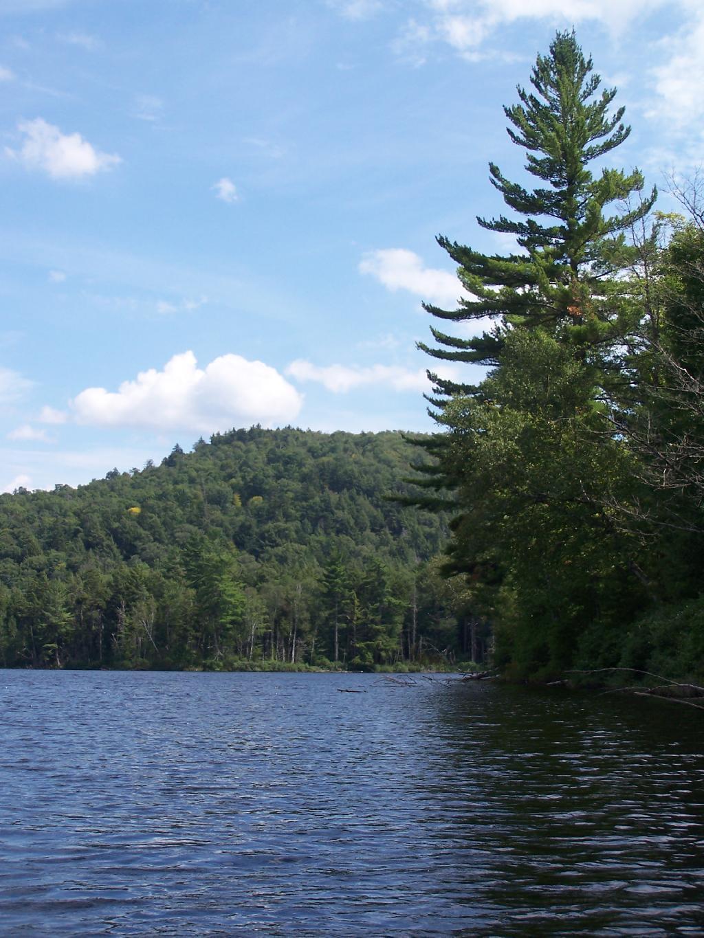
Tall Pine. Lining the edge of Mountain Pond, as I ride around in the kayak.

Tall Pine

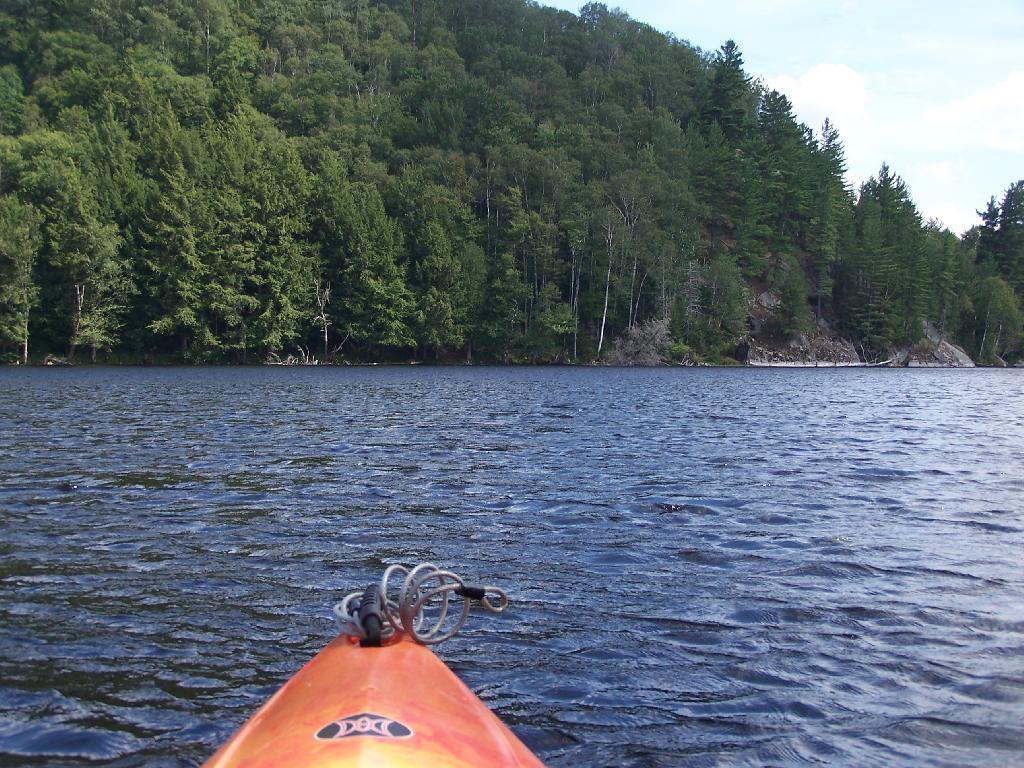
Towards Jenkins Mountain. The last hill that makes up Jenkins Mountain is where Mountain Pond gets it’s name from.

Towards Jenkins Mountain

From Southern End of Mountain Pond. This is looking from Campsite 1 at the Southern End of Mountain Pond, looking North. Old NY 30 winds right along the shore of NY 30, the New Routing is about a 1/2 mile away for NY 30.

From Southern End of Mountain Pond

Campsite No 1. This is campsite No 1 at Mountain Pond. It was never used on the Saturday Night I was there, but it looks nice, if not a bit small.

Campsite No. 2

View from Campsite 1. Here my kayak is parked at Campsite 1, where I got out for a stretch. Looking south at this rather spectacular looking lake on a great day. The lake winds back and forth, for about a mile.

View from Campsite in Evening

Along Edge of Pond. This is looking at the eastern, more mountainess shore of Mountain Pond.

Along Edge of Alder Pond

Central Part of Lake. On the left is the western shore, by where NY 30 runs. It is a beautiful, if not humongous lake with lots of shoreline and bys.

Central Part of Lake

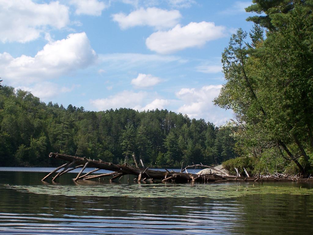
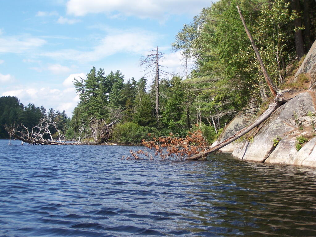
Many Downed Trees. There where many downed trees that had fallen into the lake, from the often steep eastern edge of mountain pond. Campsites are on the other side of the lake, and they all where in good shape.

Many Downed Trees

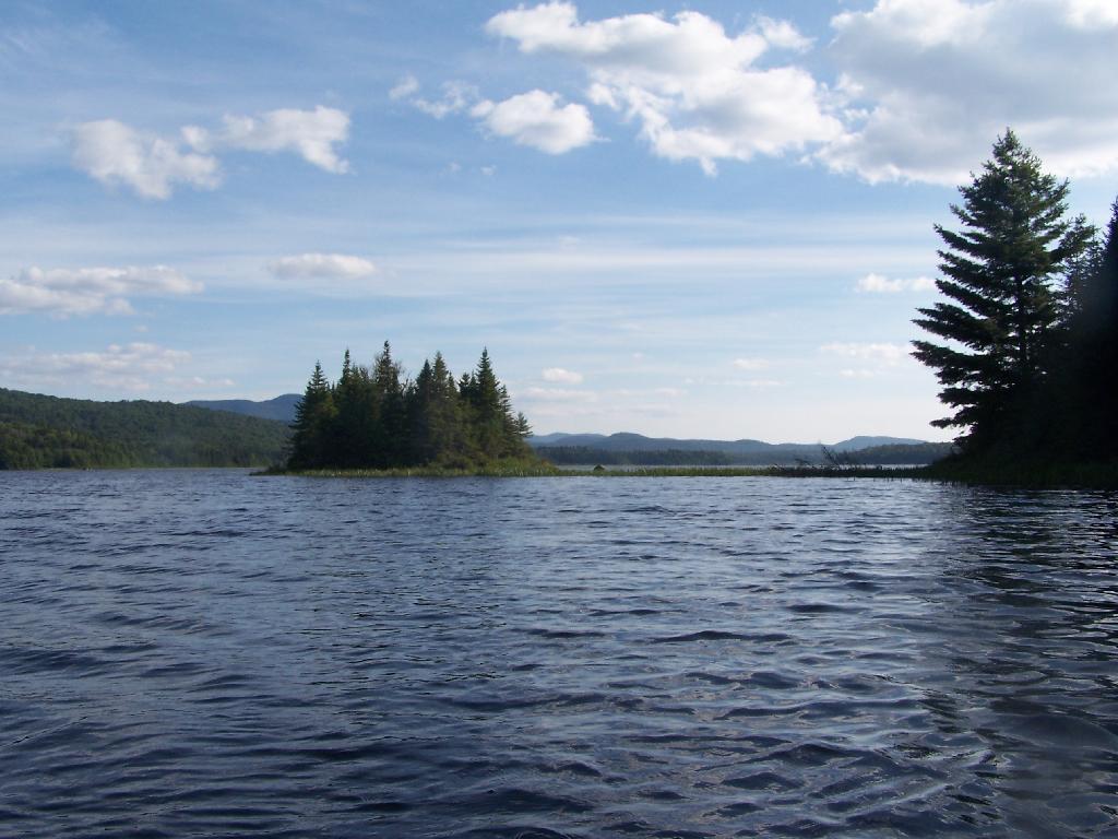
Northeastern Bay. Here is an Northeastern Bay at Mountain Pond. Not as pretty as farther south with the steep rock ledges against the lake, but still a classic Adirondack Lake.

Northeastern Bay

Loons. While this picture is somewhat in shadow, there where loons on Mountain Pond. They were not all that noisy, compared to Polliwog Pond or especially Mason Pond, where they howled quite bit more in the evening.

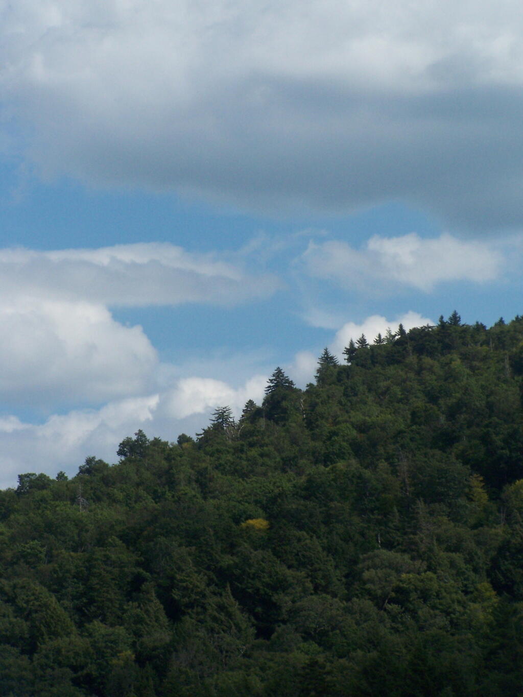
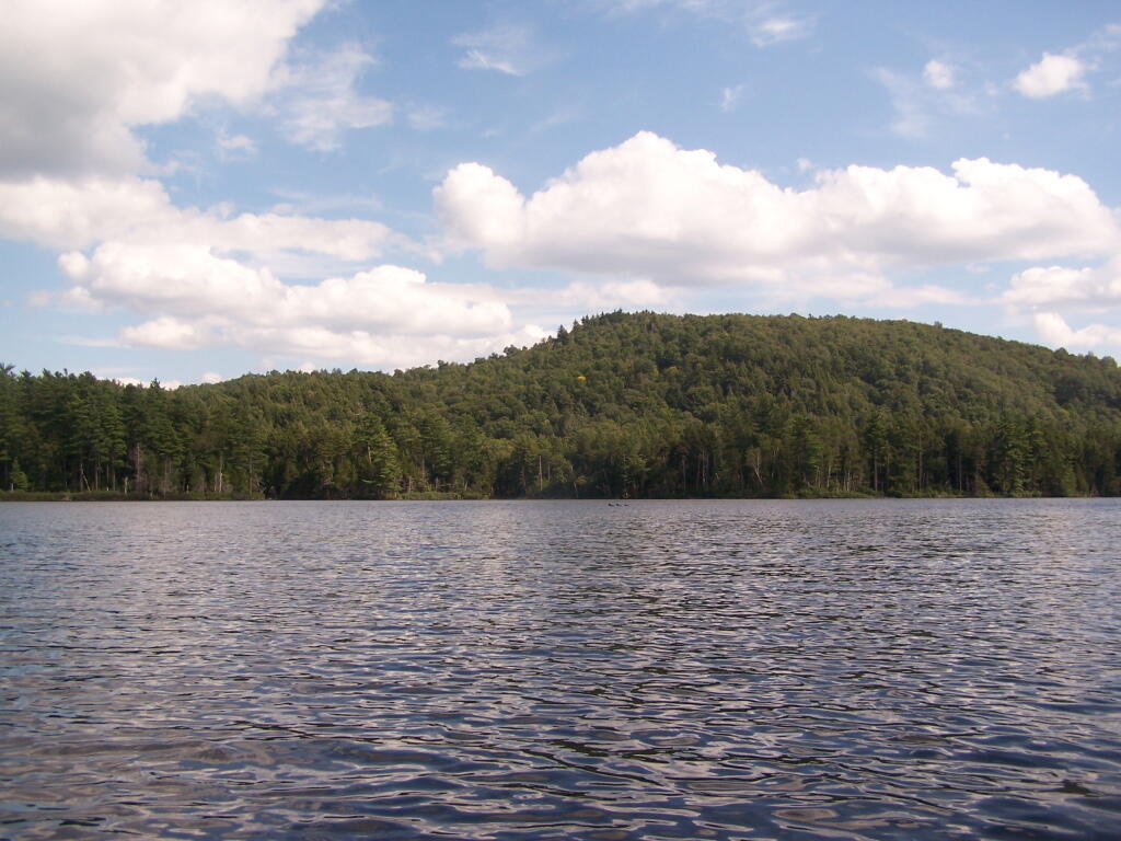
Mountain. This is the Mountain at Mountain Pond. It’s not much more then a hill, because Jenkins Mountain has largely petered out before reaching here, but it’s still a lot higher then surrounding elevation.

Mountain

Campsites No 4 and No 5. As I had previously noted, Campsites 4 and 5 where pretty close to one an another. Nobody ended up staying at No 5, although somebody parked there for a while to go paddling.

Music

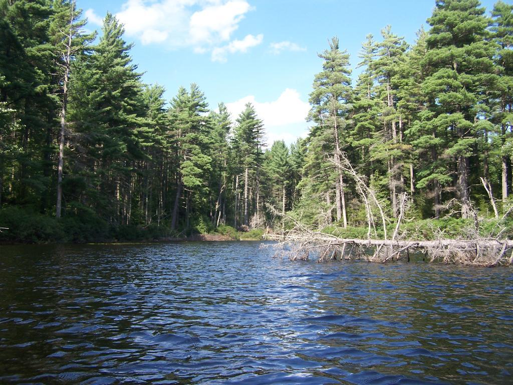
Treeline. This is the tree line towards the top of Mountain Pond, on this rather beautiful day for sure.

 Treeline

Campsite No 4. This was taken from the lake. It was great to be right on the lake, at this very remote Adirondack Pond.

Campsite No 4

Here is a map of the pond.
Camping at Mountain Pond, Aug 14

Mountain Pond is located about 2 miles North of Paul Smiths College on an old routing of NY 30. It is in Debar Mountain Wild Forest, with 2 large campsites on the pond, 3 smaller ones on or near the pond, and 10 other along Mountain Pond Road. It’s little used due to it’s remote location, and easy to even get one of the large sites on the lake on the weekends.

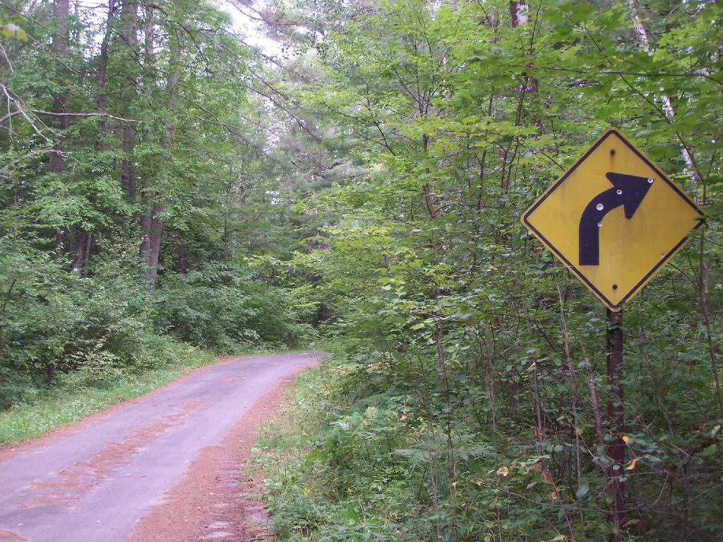
Old NY 30 Signs. Along Mountain Pond Road/Old NY 30, you can see the road signs dating back to the 1960s or maybe even earlier, prior to modern alignment of NY 30.

Old NY 30 Signs

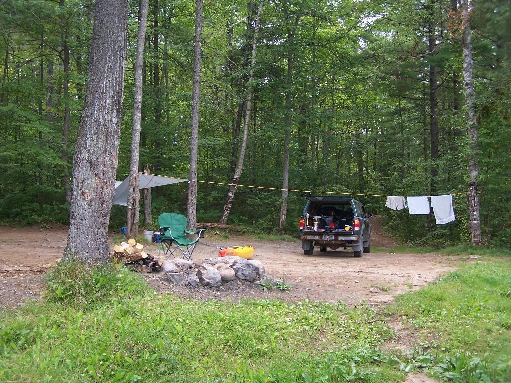
Campsite 4. Here is the view of Campsite 4 from Old NY 30/Mountain View Road and down by the lake. A nice campsite, big, roomy, and private, although the much smaller Campsites 5 is fairly close.

Campsite No 4

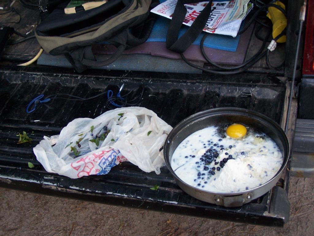
Making Up Blueberry Cake Mix. Here I’m the Blueberry Cake Mix, and getting ready to add the Blueberries I picked up at Moose River Plains. Should be real good.

Making Up Blueberry Cake Mix

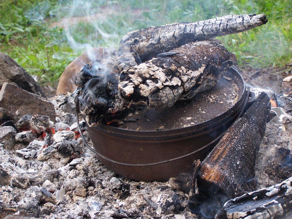
Baking in Dutch Oven. That sure smells good, doesn’t it. I put the pan that the mix was in dutch oven up on rocks, so it didn’t burn the bottom of the cake, and made sure to add adequate coals to the top to keep things cooking evenly.

Baking in Dutch Oven

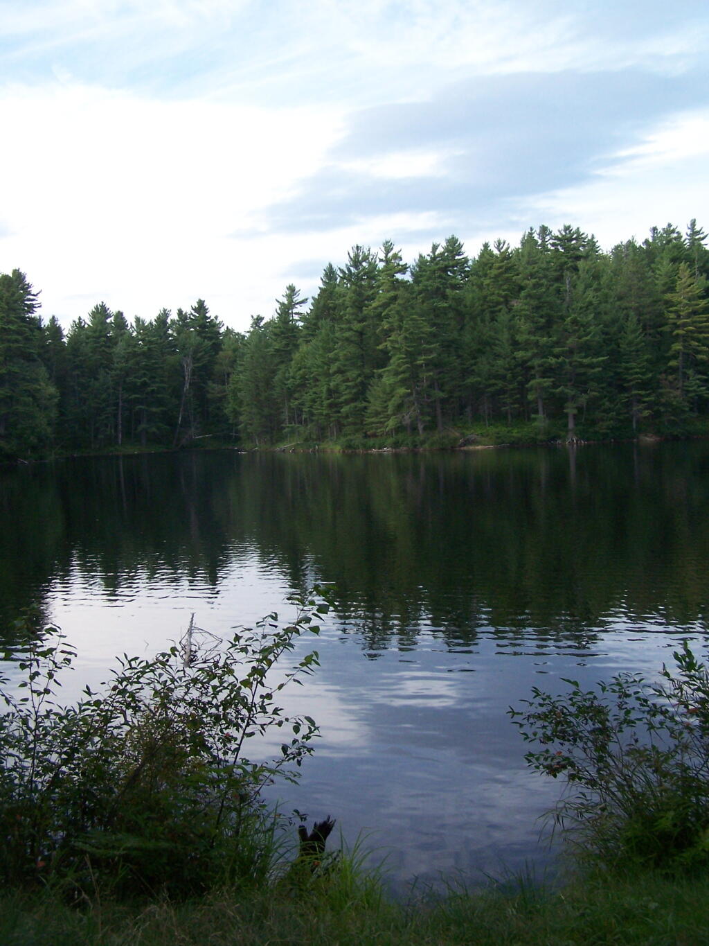
Mountain Pond in the Evening.

Mountain Pond in the Evening

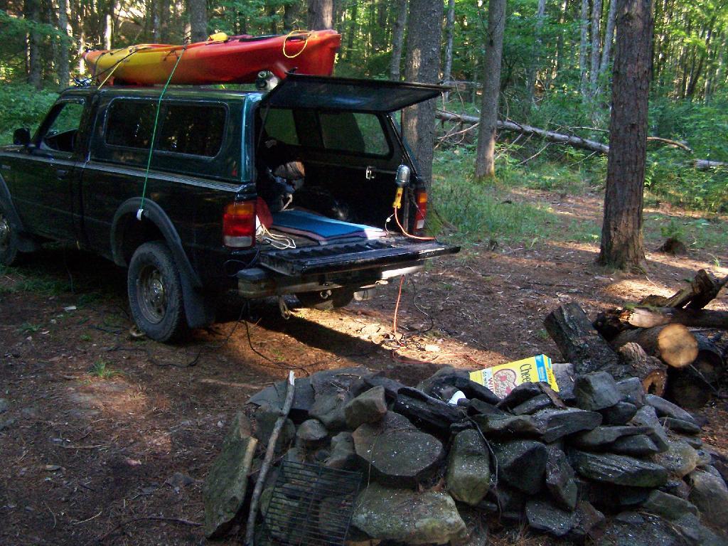
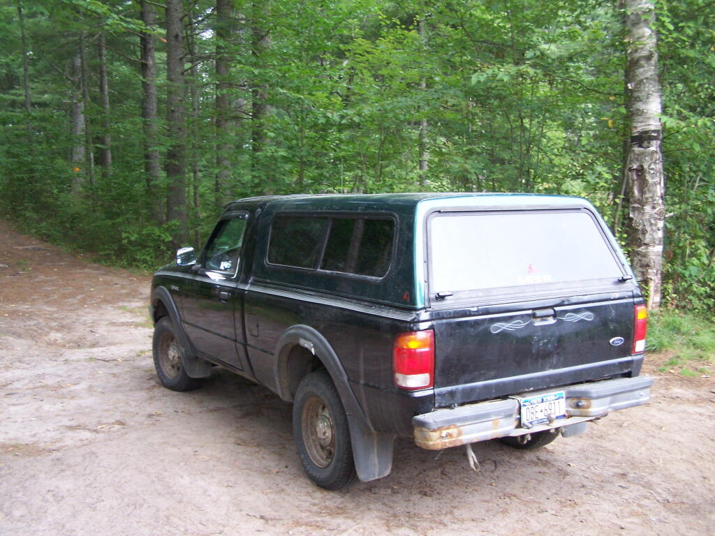
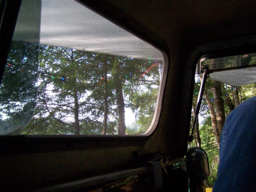
First Rays of Sunshine. I purposefully picked this campsite, and parked my truck so that the first rays of the sun, would come through the truck cap, and wake me up around the crack of down (around 6:35 AM this time of year).

First Rays of Sunshine

Getting Out and Stretch. That’s my rig with all the messy camping gear and sleeping stuff around, as I first awake in the morning.

Getting Out and Stretch

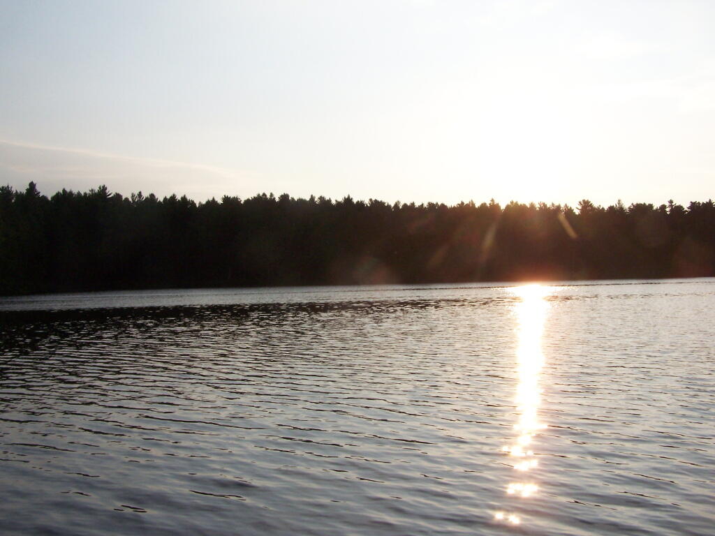
Sunshine. Sparkling on the pond, first thing in the morning. Real purty.

Sunshine

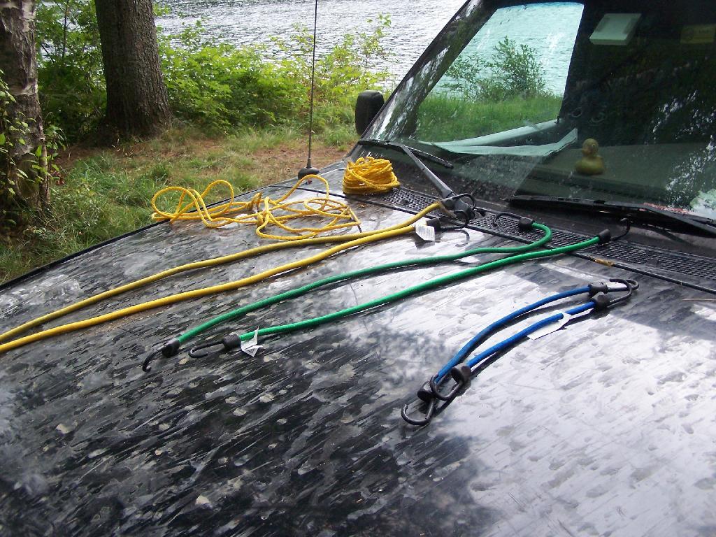
Ropes. These are the ropes and bungee cords I use to secure the kayak on the roof. Seems to work well on the kayak blocks.

Ropes

Gear All Packed Up. Now just to get the kayak up on the roof.

Gear All Packed Up

Here is a map of the camping area.
Camping at Polliwog Pond, Aug 13

Fish Creek Ponds is a series of largely connected ponds in Northern Adirondacks, North of Tupper Lake. On Floodwood Road, there are series of 15 free drive in campsites one can camp at, with about half of them located on various lakes along Floodwood Road. On Friday night, August 13, I camped out at Poliwog Pond, and then paddled around it a bit in the evening, and then again in the morning. I also drove out around Floodwood Road, to look at the ponds and other campsites along it.

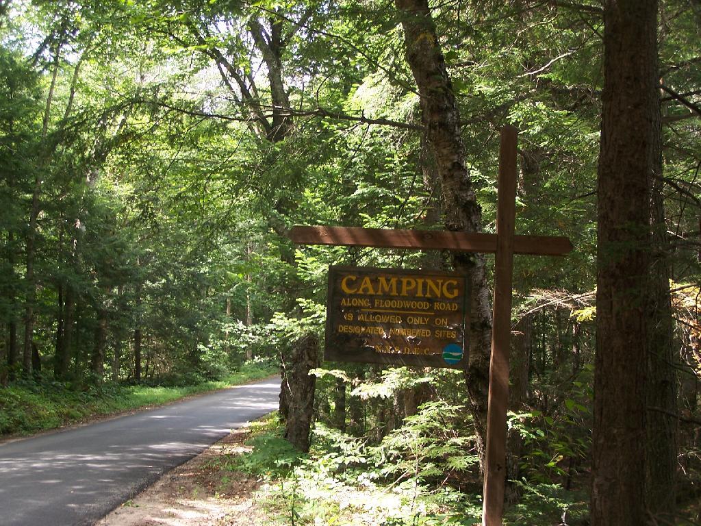
Camping Only At Designated Sites. This sign is found along the beginning of Floodwood Road, prior to the blacktop running out. There are 15 sites, that appear not to be fully used, on this lake.

Camping Only At Designated Sites

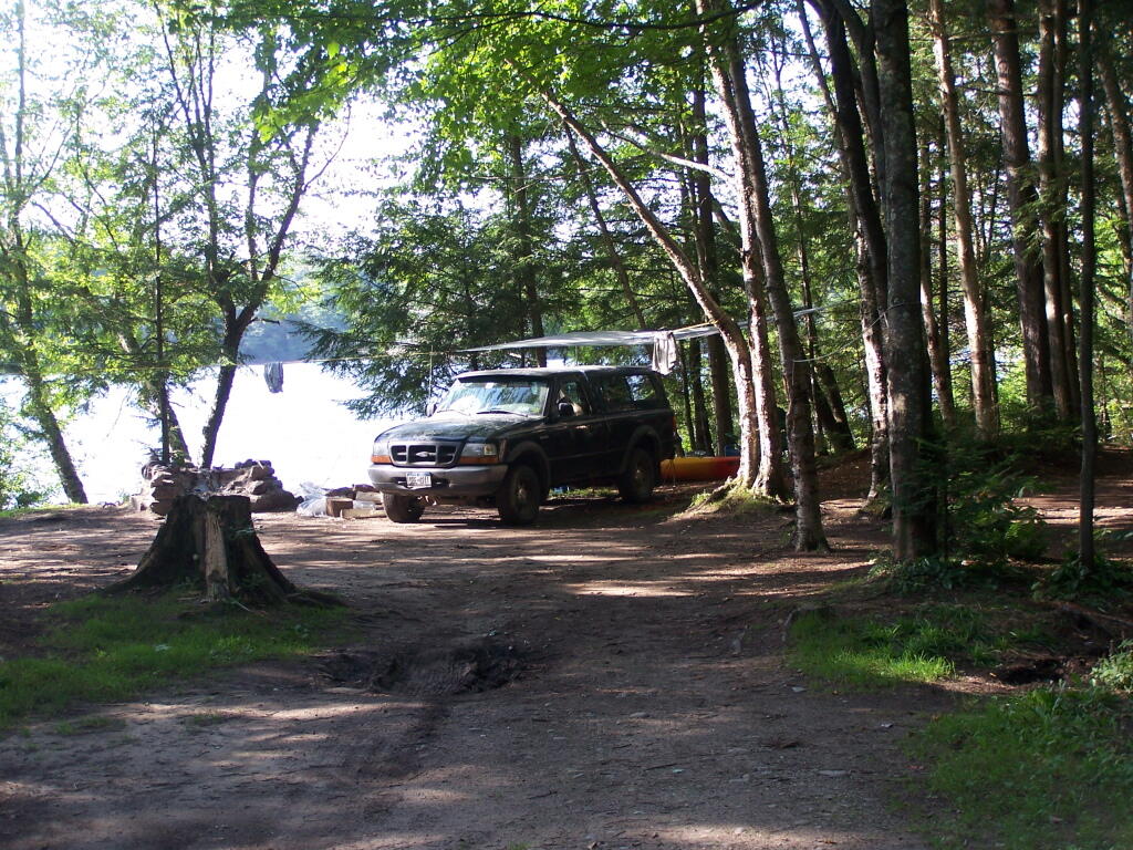
Campsite on Polliwog Pond that I stayed at on August 13th. This site would be truly the most perfect in the world, except for being so close to another one and the fact that the beach area next to the site was kind of swampy and not nice.

Campsite on Polliwog Pond

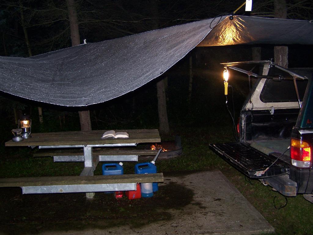
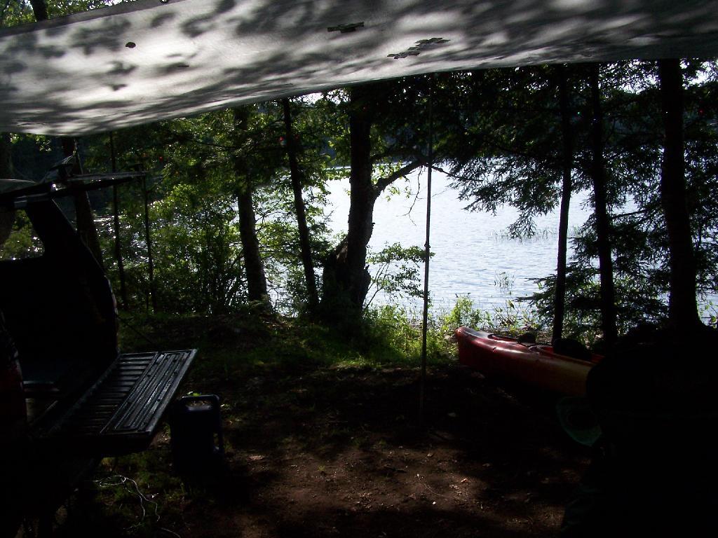
Under the Tarp. While when I was up at Poliwog Pond I didn’t really need the tarp, I set up a tarp. It was a beautiful day out for sure down here, right on the pond. The tarp was easy to set up, with the plentiful trees to make it easy to tie up.

Under the Tarp

Laying Back in Truck Cap. Ah, mornings. Lazy times. But then again, I got to paddle around the lake, get some pictures, pack up and head north. So be it.

Laying Back in Truck Cap
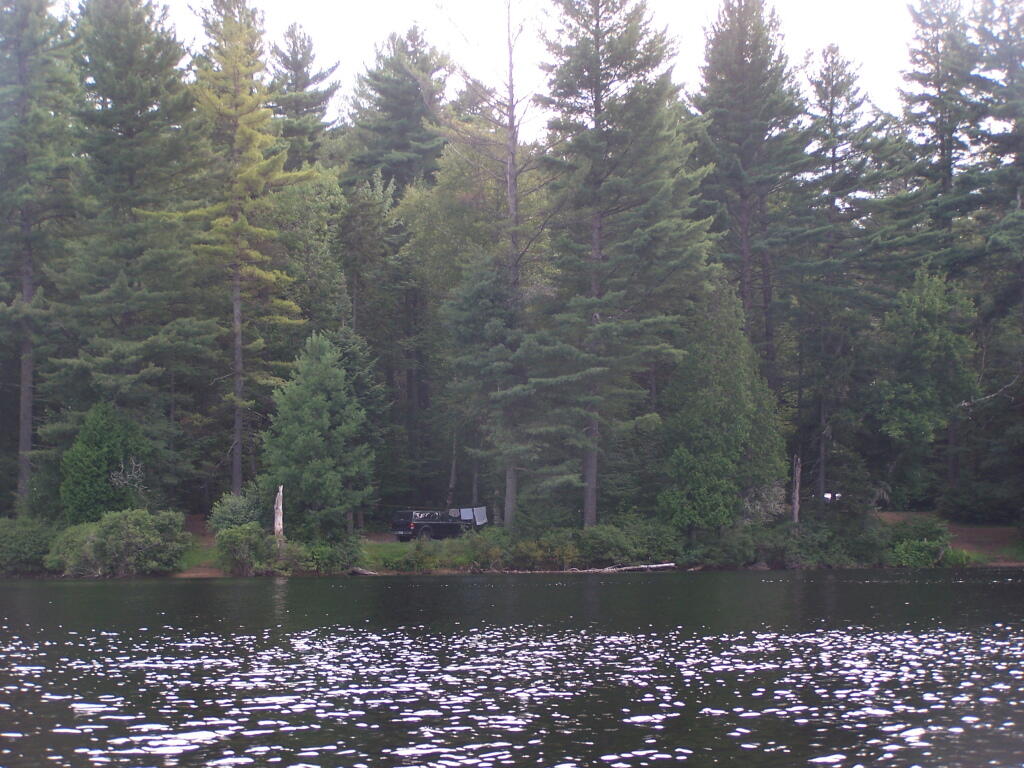
Private Bay for Swimming. Once I started to get ready, I put on my swimming trunks, paddled across the lake, around an peninsula, to a very private bay. I took a “bath” using the teapot, soap, and shampoo on the bank, washed the soap off, then went swimming in my own little private beach. Nobody else was around! It was wonderful.
Private Bay for Swimming

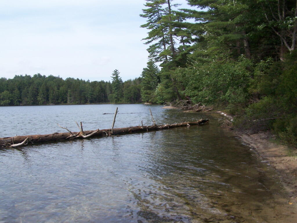
Perfect Area for Swimming. The downed tree blocked the waves, it was sandy beach. I really liked this area a lot.

Perfect Area for Swimming

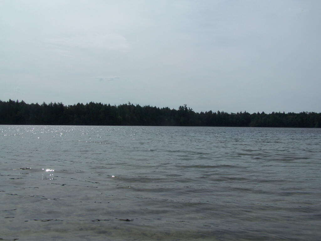
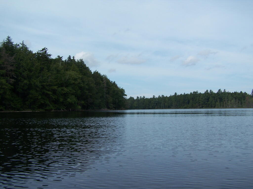
Across Poliwog Pond. It’s a remarkably hazy summer day. This is from the south bay of the pond, where I was swimming and getting cleaned up in the morning.

Across Poliwog Pond

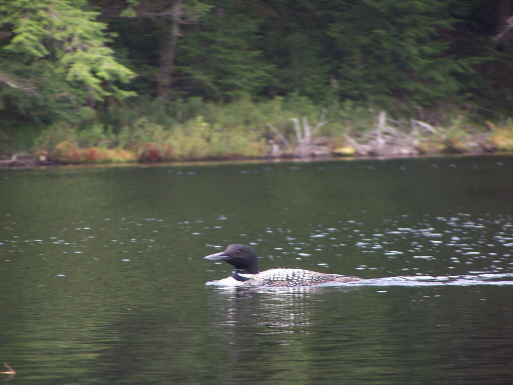
Loon. Throughout the night at Poliwog Pond, there was loon calling back and forth. This is located on the western bay of Poliwog Pond.

Loon

Western Bay of Poliwog Pond. There was somebody camping up on the banks, but other then that it was relatively quiet.

Western Bay of Poliwog Pond

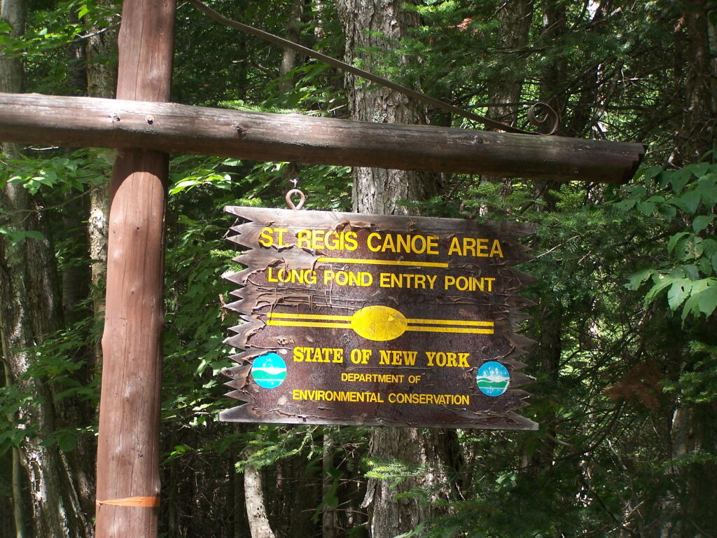
Long Pond Entrance. While I didn’t get a chance to haul my kayak into Long Pond, and do some paddling around there, this is the access point fo the Saint Regis Canoe area. It looked very popular.

Long Pond Entrance

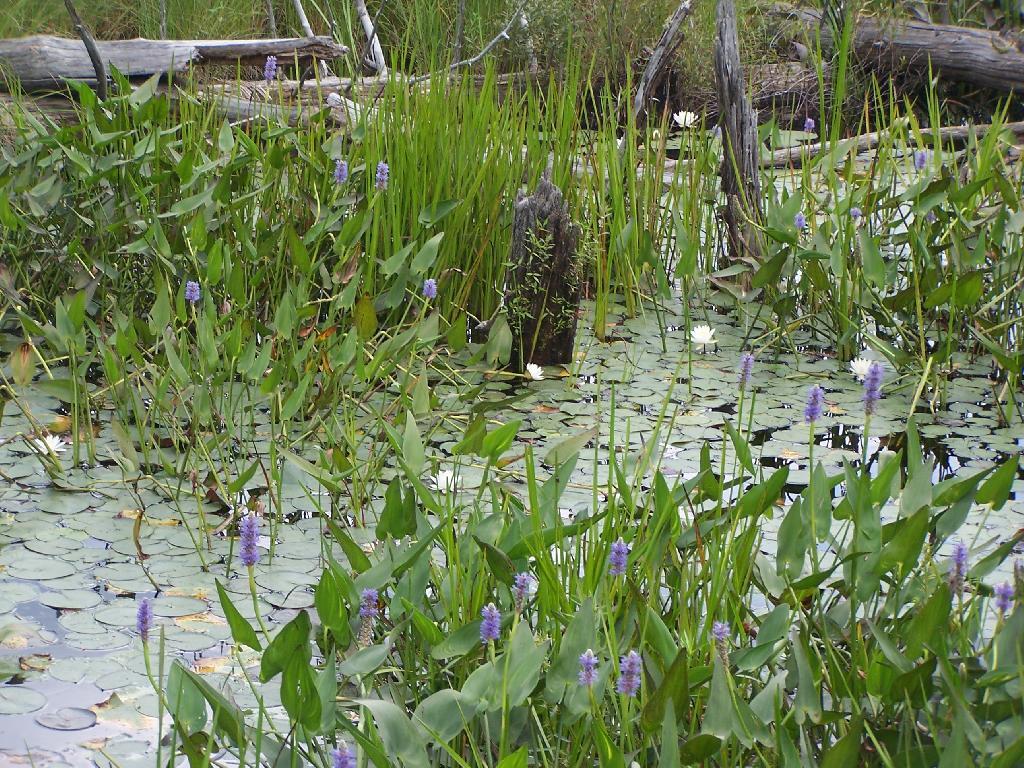
Swamp Across from East Pond. This was located directly across East Pond on Floodwood Road.

Swamp Across from East Pond

East Pond. On Floodwood Road. Looked quite pretty. There is one drive-in campsite in here, along with an accessible boat dock.

East Pond

Middle Pond. On Floodwood Pond road. There also is a large drive-in campsite on Middle Pond.

Middle Pond

Floodwood Road. There are 15 drive in campsites on this very dusty dirt road, that is heavily traveled, mostly by people heading to the Boy Scout Camp and the Saint Regis Canoe Area. This along Middle Pond.

Floodwood Road

Floodwood Road at Franklin County. This is where you cross from being in very remote Town of Altamont to Santa Clara. Pretty area for sure.

Floodwood Road at Franklin County

Here is a map of Floodwood Road, Polliwog Pond, and surrounding ponds.

View Larger Map

Kayaking Cedar River Flow, August 2010

The Cedar River Flow is a 3 mile dammed up river, that provides a beautiful area to paddle around in between the Blue Ridge Hills, and other mountains that surround it. There are dozens of campsites along the lake, you can paddle on around in. On August 11th, I camped up at the Cedar River Flow Camping-area in my pickup truck, and paddled around the lake, up into the Cedar River a ways beyond the end of the flow.

Cedar River-Limekiln Lake Road

Hook Near Payne Brook. Where it enters the Cedar River Flow, about a 1/2 mile from the entrance of the Flow.

Hook Near Payne Brook

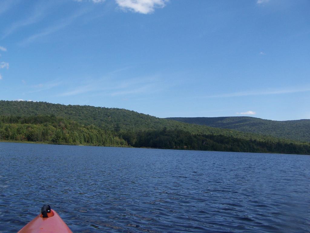
Across Cedar River Flow. This more open portion was a bit rougher, although the wind was pretty slack on this day. Blue Ridge is in the distance.

Across Cedar River Flow


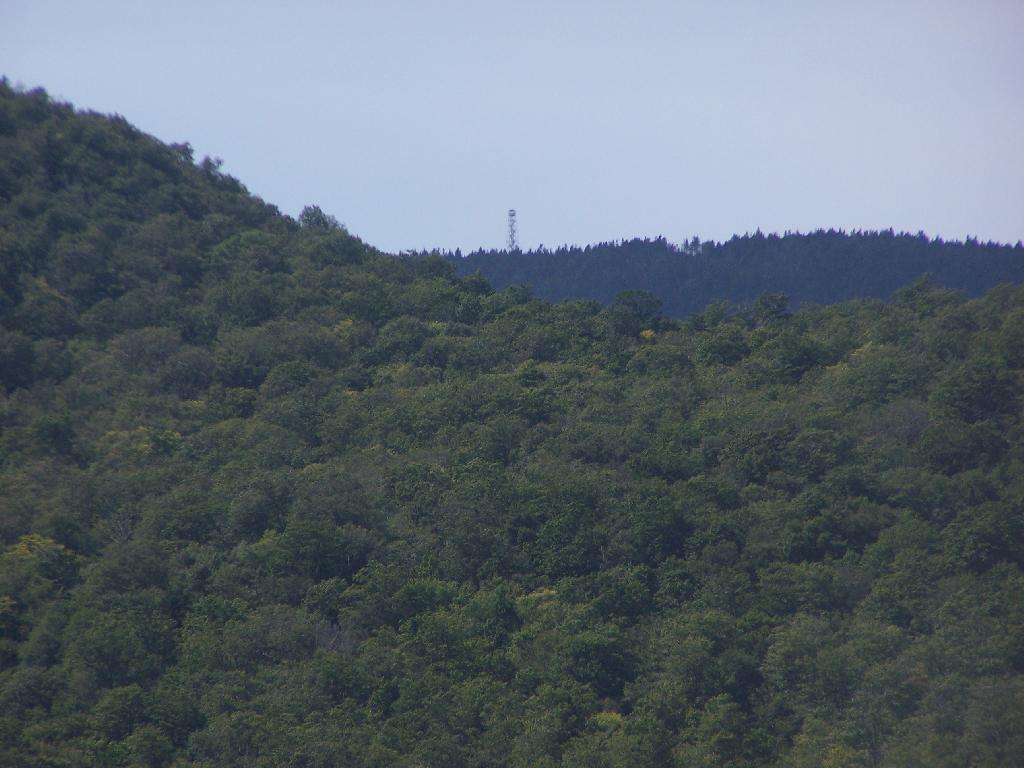
Wakely Fire Tower. As seen from the middle of Cedar River Flow, over Sturges Hill. I previously hiked it, and it was a nice hike</>.

Wakely Fire Tower

South Over Cedar River Flow. It was pretty bright and glarey on the lake. I had my sunglasses on, and even had enough sunscreen on, along with the cowboy hat, but not putting sunscreen on my legs, left with me with bad burns on the legs.

South Over Cedar River Flow

Parked on Cedar River Flow. At one of the campsites. I really had to take a piss, because that’s what drinking beer does to me, and it’s pretty hard to do in a kayak, without hoping out.

Parked on Cedar River Flow

Campsite on Cedar River Flow. This was one of the less nicer campsites on Cedar River Flow, causally developed and not by the DEC. The nicer paddle in campsites have picnic tables, and outhouses.

Campsite on Cedar River Flow

View from Cedar River Paddle-In Campsite. Quite nice, and a sandy beach for swimming and getting clean.

View from Cedar River Paddle-In Campsite

Edge of Cedar River Flow. This was at the campsite I pulled off at to take a piss.

Edge of Cedar River Flow

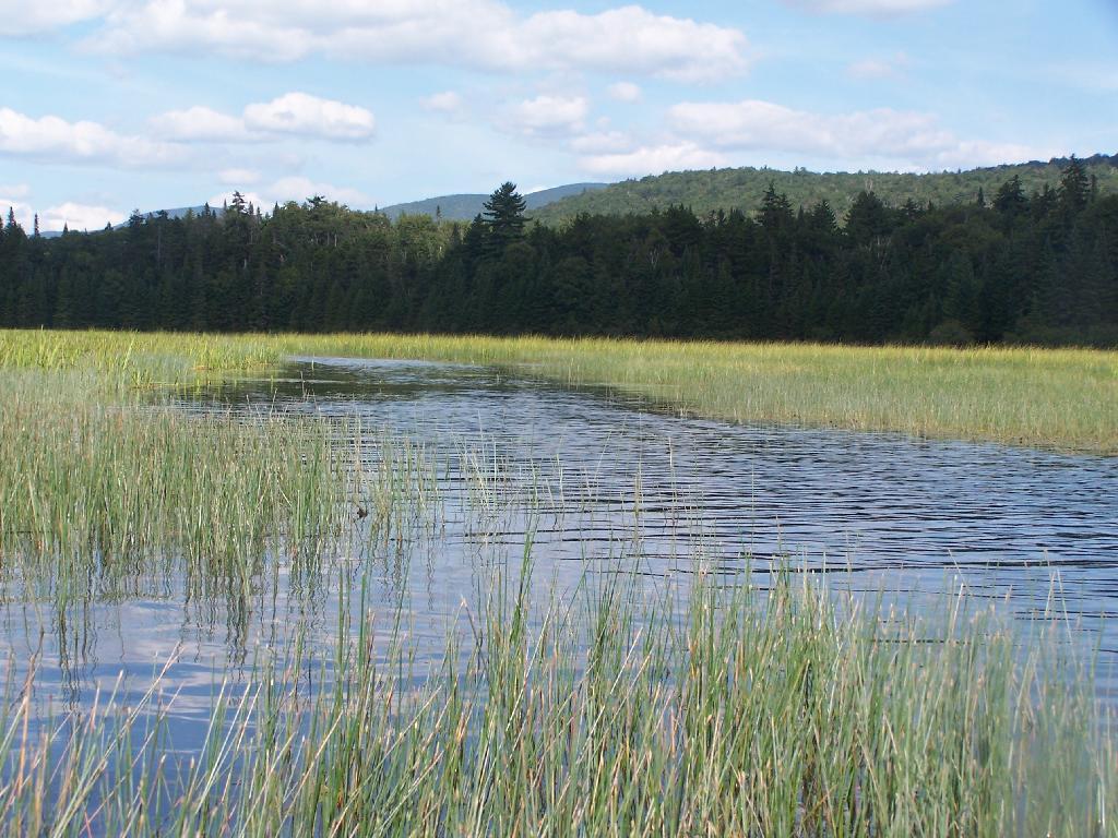
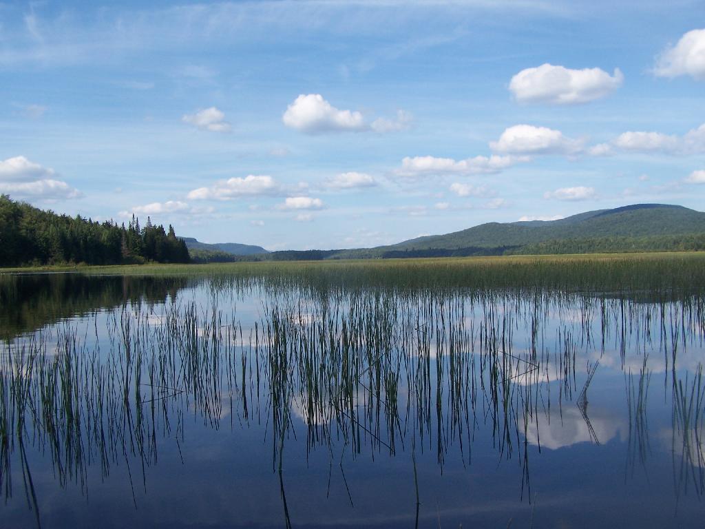
Cedar River Flow Becomes Marshier. As you proceed west on Cedar River Flow, it becomes shallower and shallower, until it’s marshland. It can be a little hard to paddle if you get out of the channel, but in the channel, it’s pretty deep.

Cedar River Flow Becomes Marshier

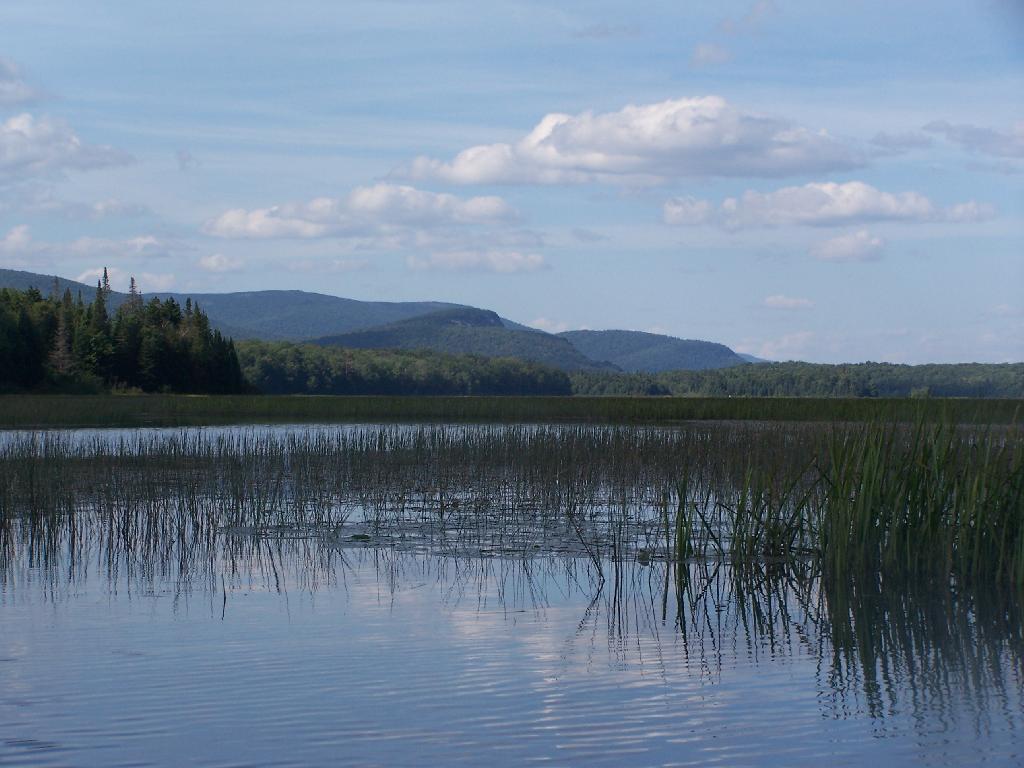
Marshy Flow and Pillsbury Mountain. This is almost the end of the flow, before it becomes all marsh, and you have to follow the Cedar River to get farther west then this.

Marshy Flow and Pillsbury Mountain

Sturges Hills and Wilson Ridge. This is across the marshy end of Cedar River Flow, looking to the north-west.

Sturges Hills and Wilson Ridge

Tougher Paddling. Soon I will find my way onto the Cedar River, which gets much easier, despite a fairly strong current on the river.

Tougher Paddling

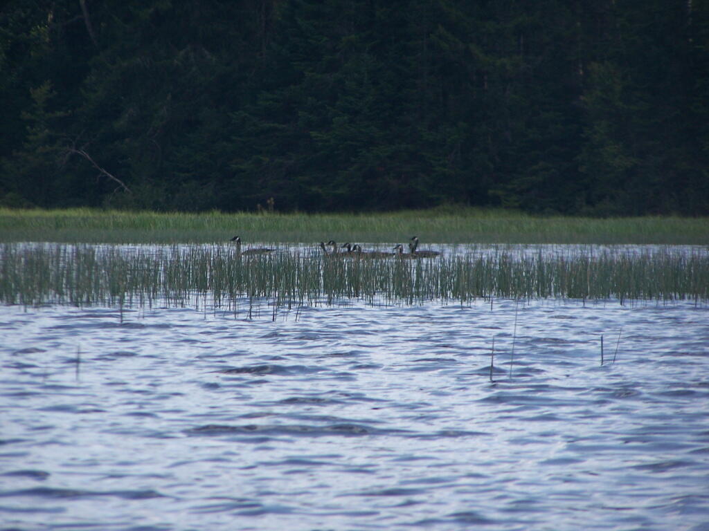
Canadian Geese. On the Cedar River Flow.

Canadian Geese

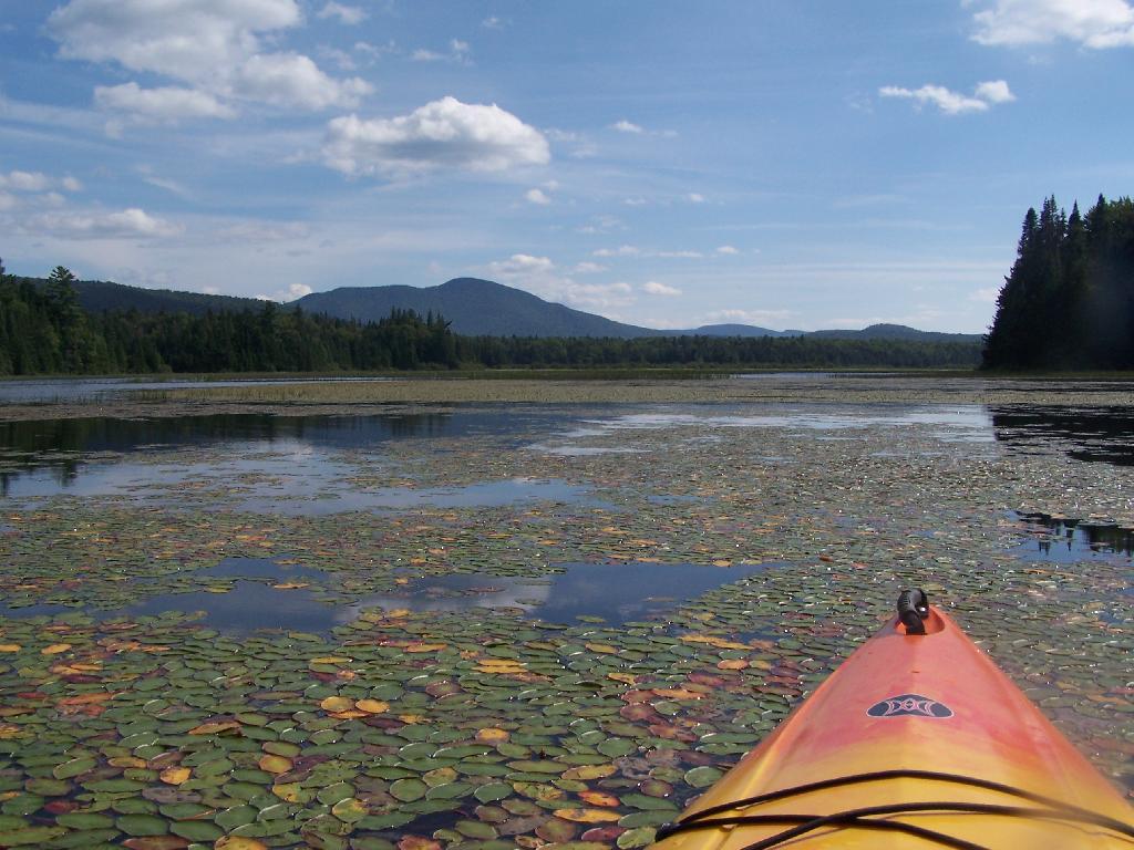
Pond Lillies on the Marsh and Mush. Not fun at all for paddling through on the Flow. That said, if I was in the channel, it wouldn’t be so hard, but I was looking for another stretch and piss spot. All that beer made for tough going in the boat.

Pond Lillies on the Marsh and Mush

End of Cedar River Flow. From here it’s just marshland and the river, flowing to the south west.

End of Cedar River Flow

Paddling Thru Cedar River. The current was pretty strong, but still very much paddle-able from here.

Paddling Thru Cedar River

Down Along the Cedar River. It was a pretty afternoon for paddling, but my arms where starting to feel it against the current of the river.

Salad for the Pine Bush Dinner

Navigating Oxbow in Cedar River.

Navigating Oxbow in Cedar River

Back in the Flow. The low hills of Blue Ridge and Sturges Hills follow along the landscape of the flow.

Back in the Flow

Heading East Along Cedar River Flow. Only a couple miles back to the campsite.

Heading East Along Cedar River Flow

East Across Flow.

East Across Flow

South Across Cedar River Flow.

South Across Cedar River Flow

Kayak in Site on Cedar River Flow. This is one of the beautiful kayak-in sites that the DEC is proposing to close to appease the environmental extermists who believe the public should have no access to public lands.

Kayak in Site on Cedar River Flow

Very Basic Campsite. Still it seemed like some place that would be nice to paddle in one day with a tent.

Very Basic Campsite

A Quick Swim, Then Back in Kayak. This is another nice sandy beach at Cedar River Flow.

A Quick Swim, Then Back in Kayak

Shoreline Near Payne Brook. This is the hook that jets out into Cedar River Flow.

Shoreline Near Payne Brook

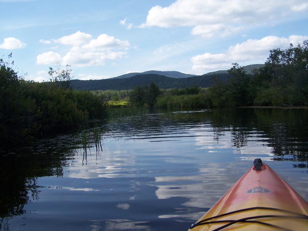
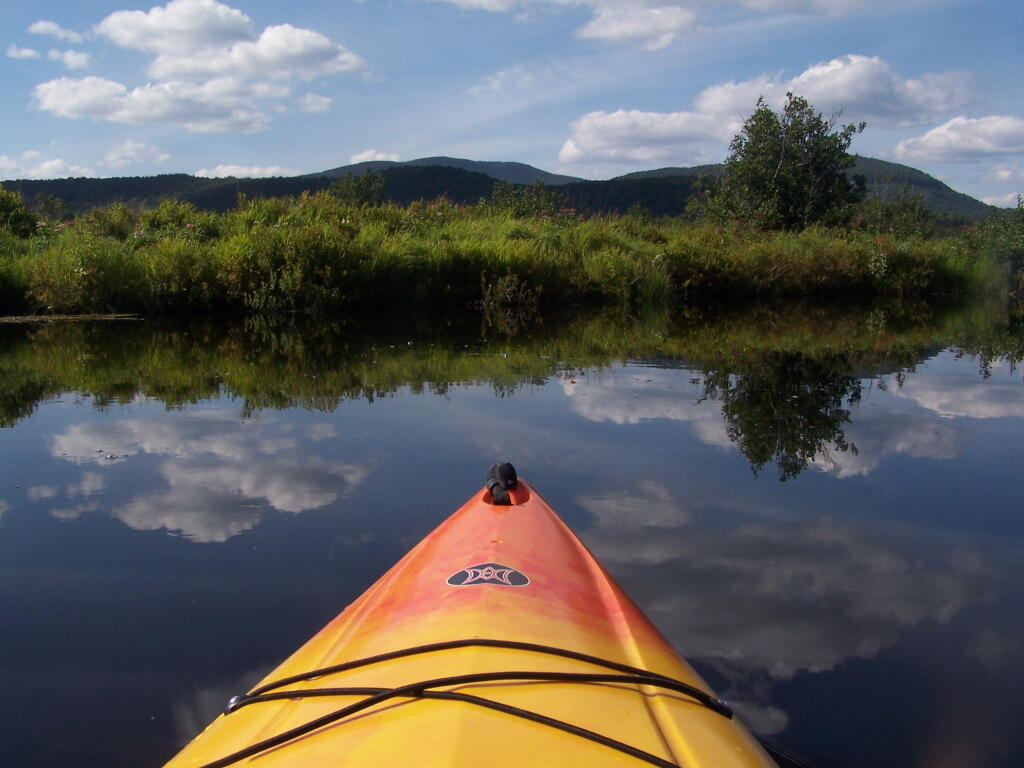
Kayaking Pass an Island. On the Cedar River Flow.

Kayaking Pass an Island

Island with Pillsbury Mountain. And several other mountains, looking west down towards the Plains.

Island with Pillsbury Mountain

Past the Payne Brook. On the Cedar River Flow. Almost back to Wakely Dam, and the drive-in campsites.

Past the Payne Brook

Flooded Lake. This portion of the Cedar River Flow, demostrates how very much this area was once open plains, until the DEC flooded the area shortly after obtaining the land from Gould Paper Company in 1967.

Flooded Lake

Back to the Wakely Dam. As you can see, it’s already starting to get dark. By the time I’m out of the water, and cleaned up, it’s already 6:30 PM. I then go for a little drive up to the plains (an hour away), and pick blueberries.

At the door

The Wakely Dam. There are no posted weight restrictions on this dam, and people regularly bring their fifth wheel campers across it. That said, the Albany bureaucrats in the DEC wants to close off vehicular access, because they don’t believe the public should be allowed to camp on their own lands, especially not in something like a pickup truck or an RV.

The Wakely Dam

Getting Ready to Pull Out. I’m camping at the site right next to Wakely Dam</>, namely site No 8.

Getting Ready to Pull Out

Here is a map of the lake. The Wakely Dam is to the North, the Cedar River flows from the south in the West Canada Wilderness.