One of the things that I’ve puzzled over for for some time, is the practice of hiding officially designated roadside camp sites and primative camping areas from their website and from offical signage on primary roads.
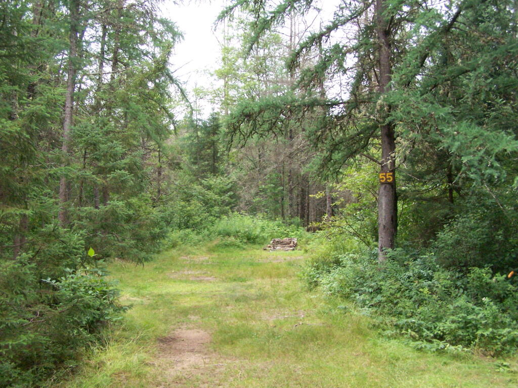
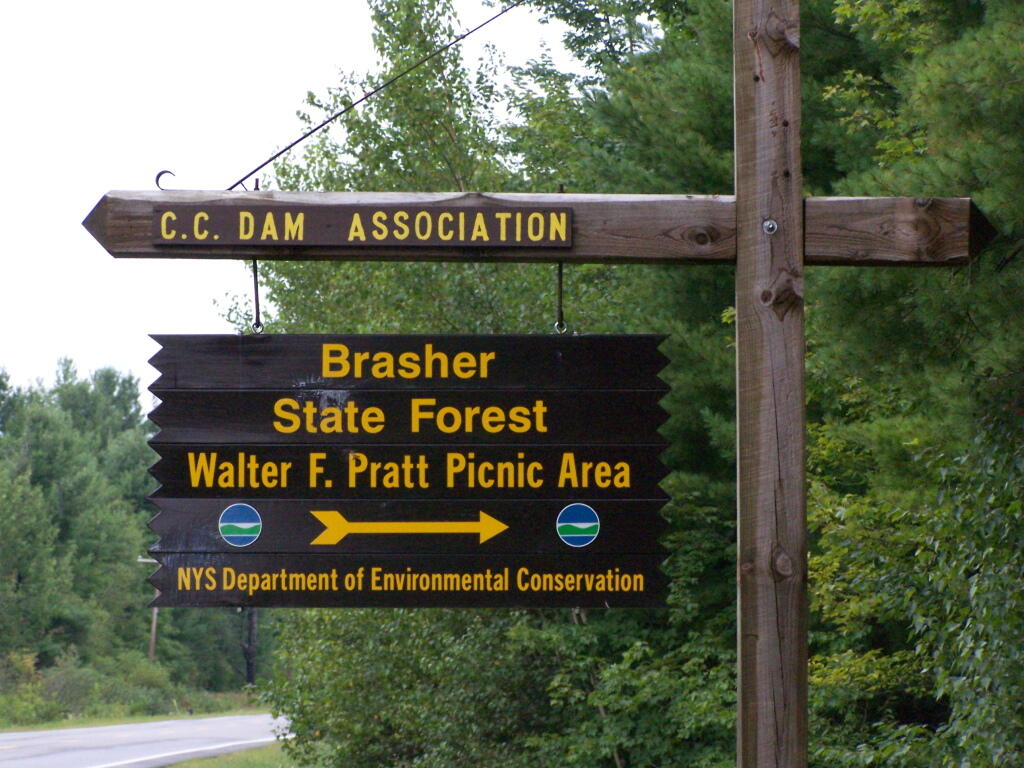
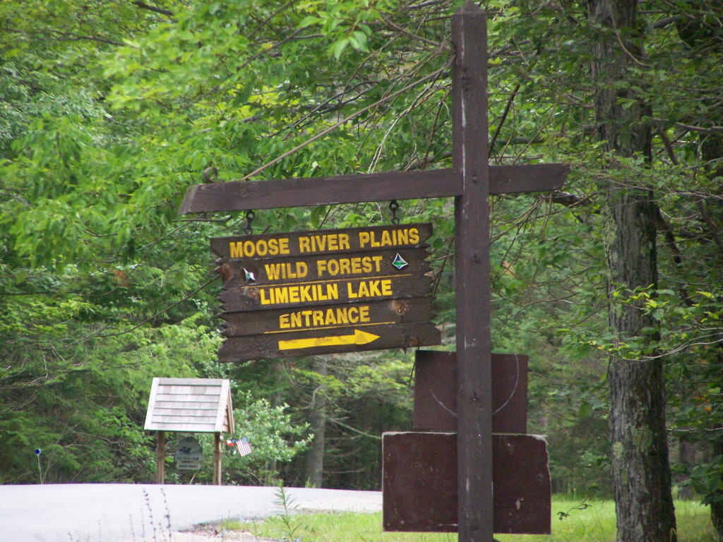
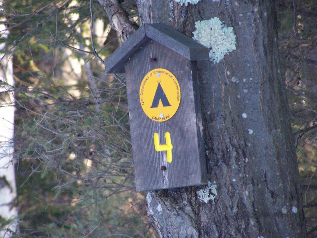
The DEC never puts a sign up along a road saying “Camping Area”, although they do often designate individual sites along the roads with smaller markers. It’s always signed as “C.C. Dam Assocation”, “Moose River Plains Wild Forest”, “Mountain Pond Fishing Area” with no information on camping activities, despite having dozens if not hundreds of designated road-side camping sites.
It’s not like people can’t figure out where primative campsites are located by searching the Internet for other web sites, driving around on state truck trails, checking topographic maps, studying Unit Management Plans, and talking to people who have been their previously. Things are not really hidden, it’s that DEC just doesn’t make it obvious.
To make matters worst, the DEC varies greatly in their policy towards putting campsites on their online interactive mapper. Some camping areas are not included in their interactive mapper at all, while other are in part or whole. Some designated camping areas on the mapper, require a free permit from the DEC, although you would never know it from the website.
The DEC also does not provide public access to the shape files used to draw the data in the online interactive mapper. Despite one’s repeated attempts to contact the Department for acess to that shapefile, the GIS director has never responded. If you wanted that incomplete shapefile, you would probably have to FOIL the agency, and no guarantees that the department would provide access.
There are probably a couple of rationals for this disorganized policy towards primative camping:
Discourage over use by keeping camping areas known to a limited number of people who’ve spent the time discovering them on their own
Discourage ‘casual’ use by youth who seek simply places for partying and generally making a mess with beer cans and other unburnable trash, damage to vegetation, and generally getting themselves in trouble
Competition from State-owned DEC Campgrounds, many of which are money makers for the DEC and help fund other activities of the department
Disorganization in the DEC regional offices, which may not sychronize their data with DEC Headquarters in Albany.
Regional DEC Offices desire not to share with the DEC in Albany, a list of campsites that do not comply with wild forest guidelines due to spacing or frontage issues.
Regional DEC Offices would prefer people contact the forest rangers directly about camping opportunities, so they can better control use of their lands and maintain a kind of fiefdom over them.
Regardless, it would be nice if the Department of Environmental Conservation, in the form of it’s regional and state offices, would be honest with the public about camping opporunties across the state. The public owns the land, and the public has the right to know about how it can be used, without directly having to contact individual forest rangers, which may or may not be honest or helpful.
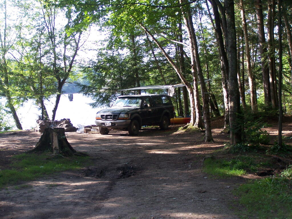
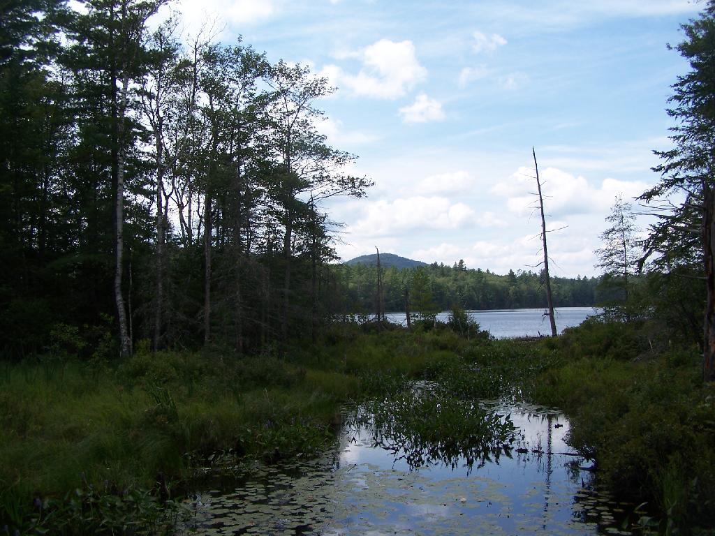
Fish Creek Ponds is a series of largely connected ponds in Northern Adirondacks, North of Tupper Lake. On Floodwood Road, there are series of 15 free drive in campsites one can camp at, with about half of them located on various lakes along Floodwood Road. On Friday night, August 13, I camped out at Poliwog Pond, and then paddled around it a bit in the evening, and then again in the morning. I also drove out around Floodwood Road, to look at the ponds and other campsites along it.
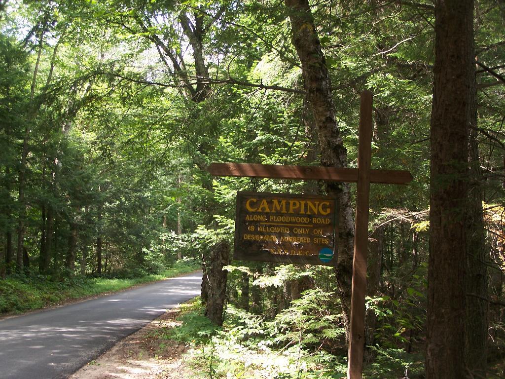
Camping Only At Designated Sites. This sign is found along the beginning of Floodwood Road, prior to the blacktop running out. There are 15 sites, that appear not to be fully used, on this lake.
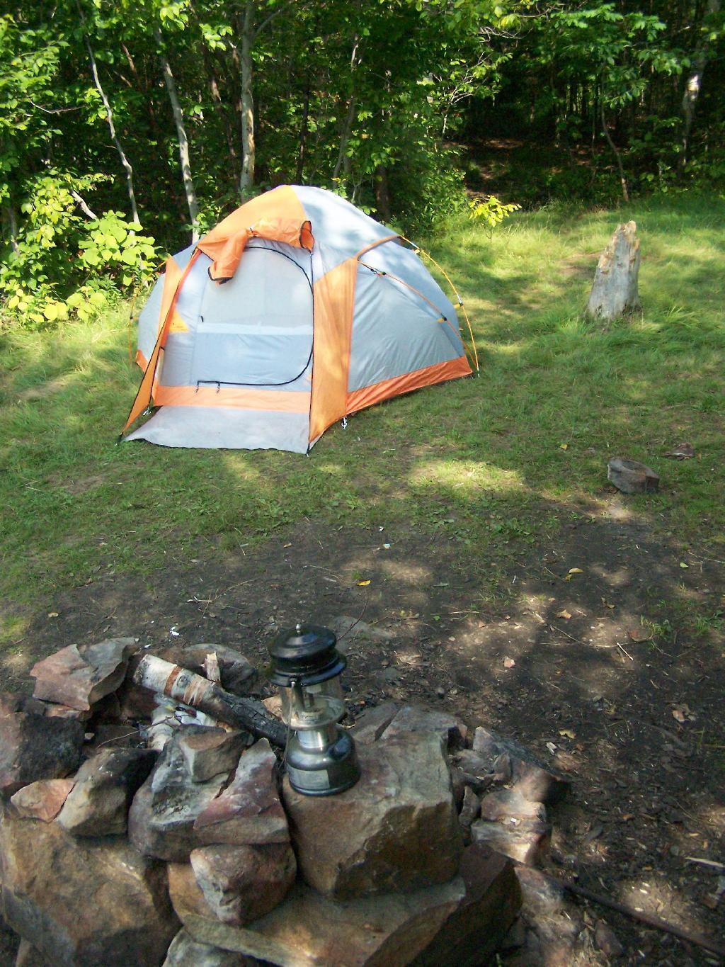
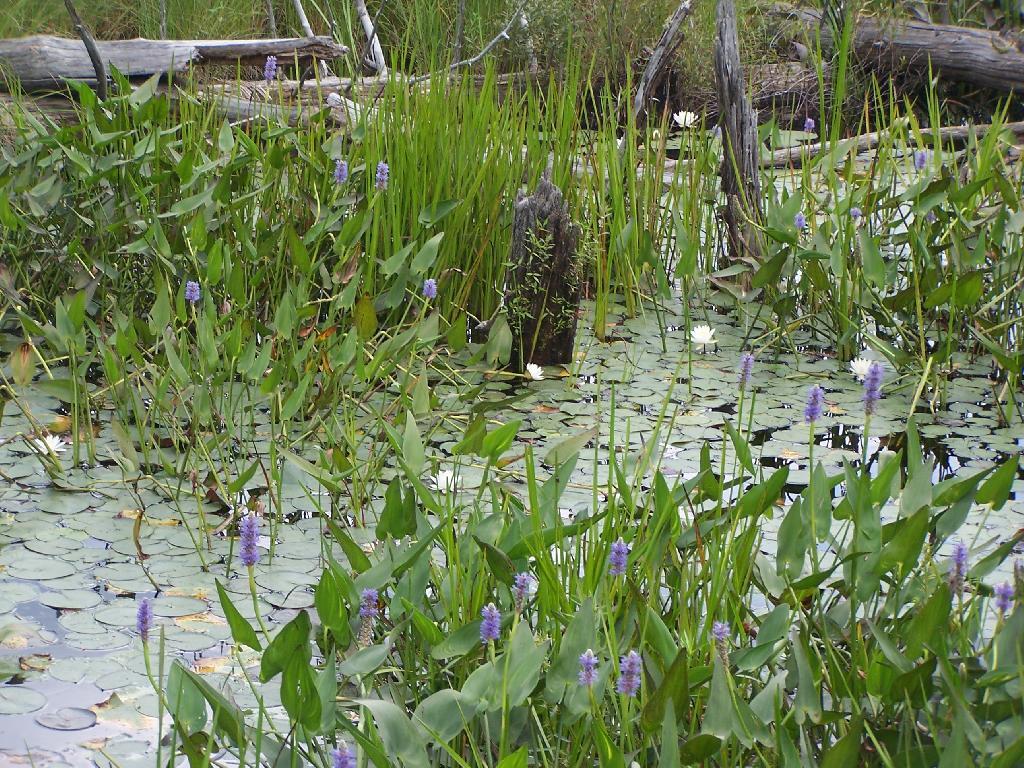
Campsite on Polliwog Pond that I stayed at on August 13th. This site would be truly the most perfect in the world, except for being so close to another one and the fact that the beach area next to the site was kind of swampy and not nice.
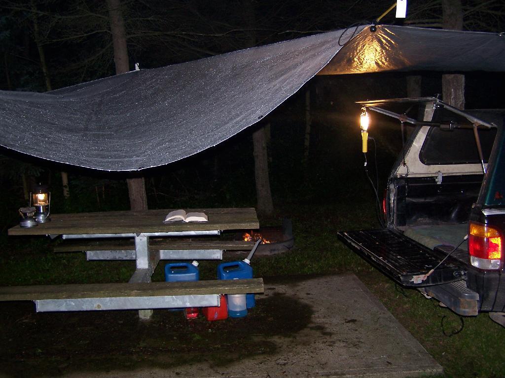
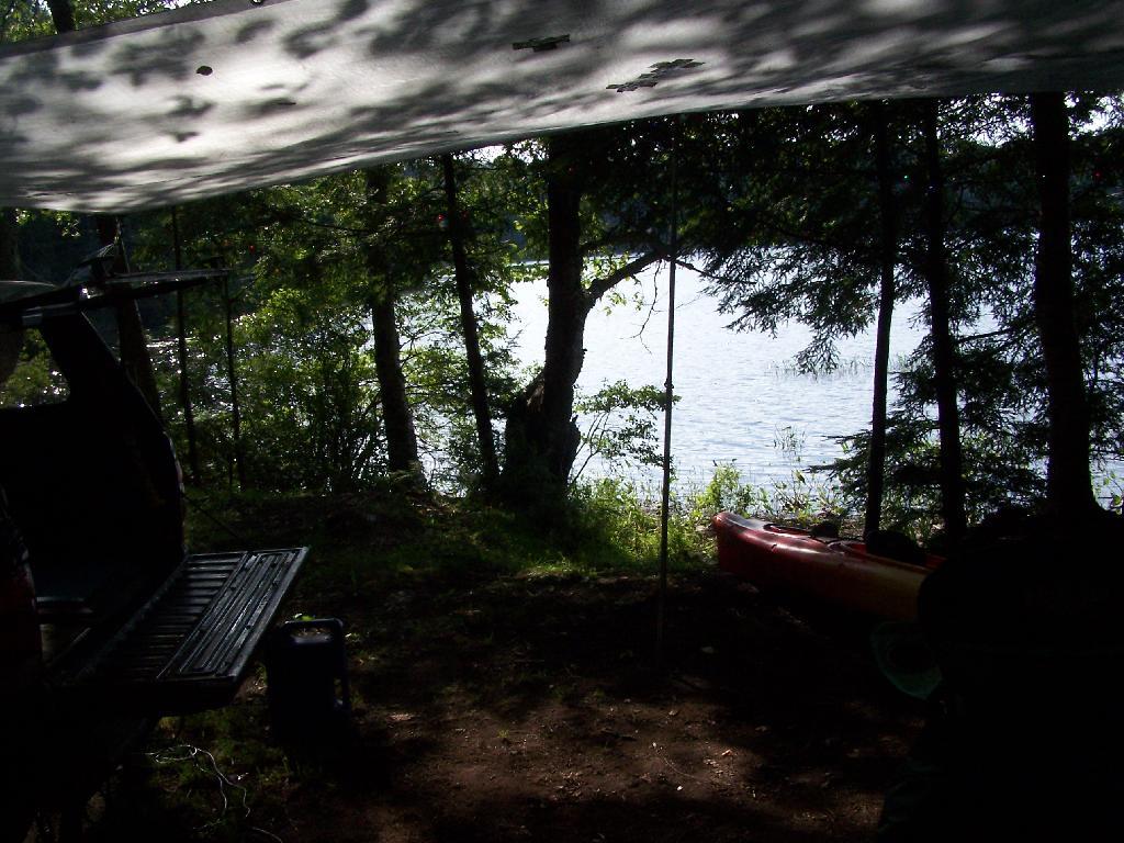
Under the Tarp. While when I was up at Poliwog Pond I didn’t really need the tarp, I set up a tarp. It was a beautiful day out for sure down here, right on the pond. The tarp was easy to set up, with the plentiful trees to make it easy to tie up.
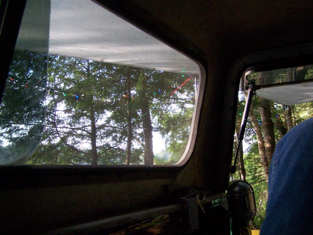
Laying Back in Truck Cap. Ah, mornings. Lazy times. But then again, I got to paddle around the lake, get some pictures, pack up and head north. So be it.
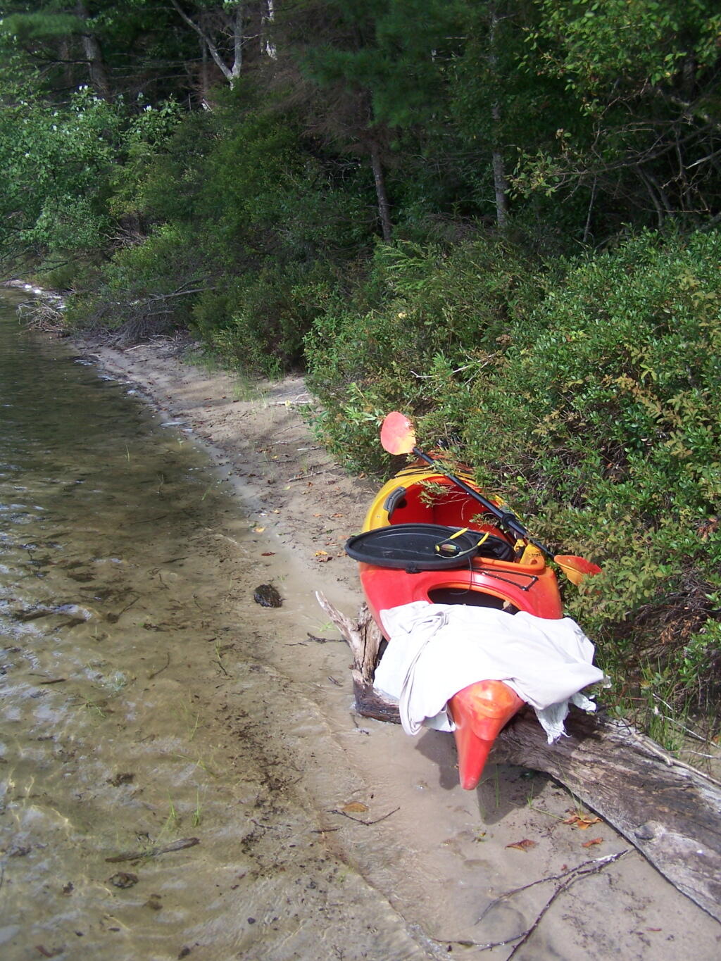
Private Bay for Swimming. Once I started to get ready, I put on my swimming trunks, paddled across the lake, around an peninsula, to a very private bay. I took a “bath” using the teapot, soap, and shampoo on the bank, washed the soap off, then went swimming in my own little private beach. Nobody else was around! It was wonderful.
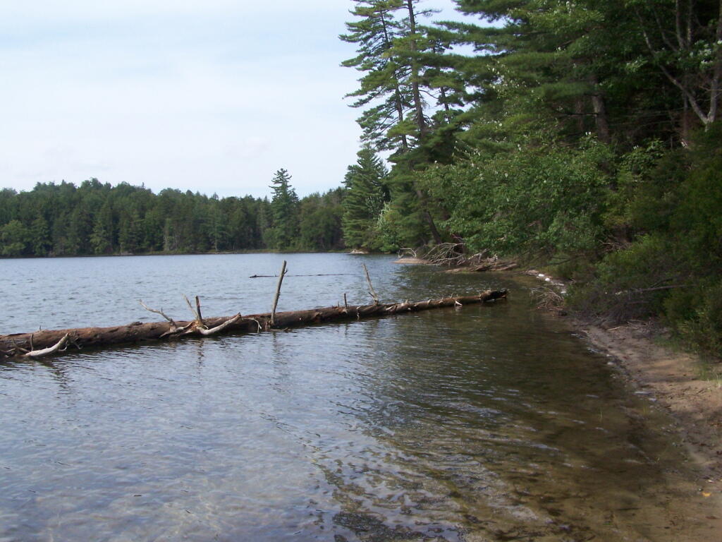
Perfect Area for Swimming. The downed tree blocked the waves, it was sandy beach. I really liked this area a lot.
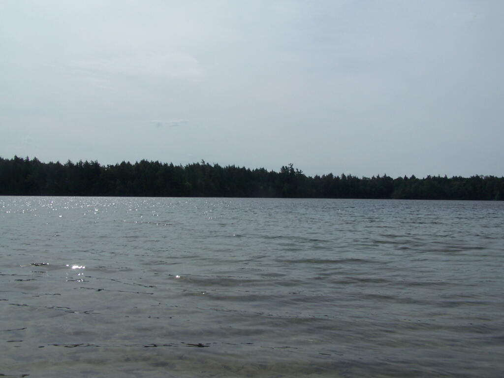
Across Poliwog Pond. It’s a remarkably hazy summer day. This is from the south bay of the pond, where I was swimming and getting cleaned up in the morning.
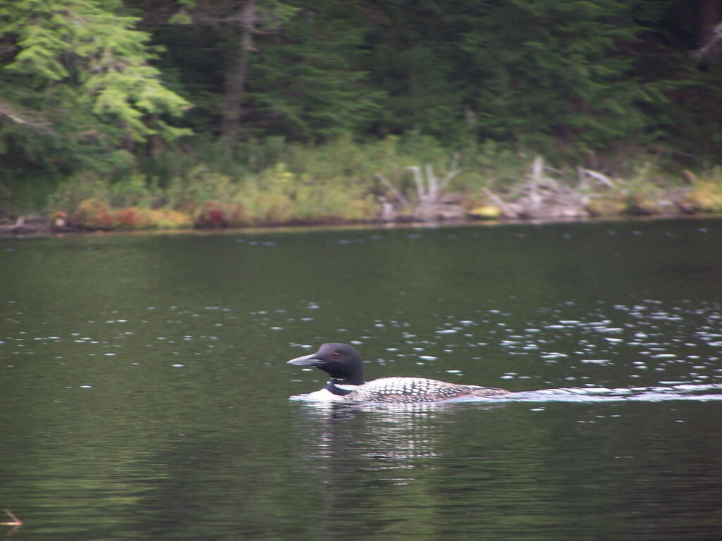
Loon. Throughout the night at Poliwog Pond, there was loon calling back and forth. This is located on the western bay of Poliwog Pond.
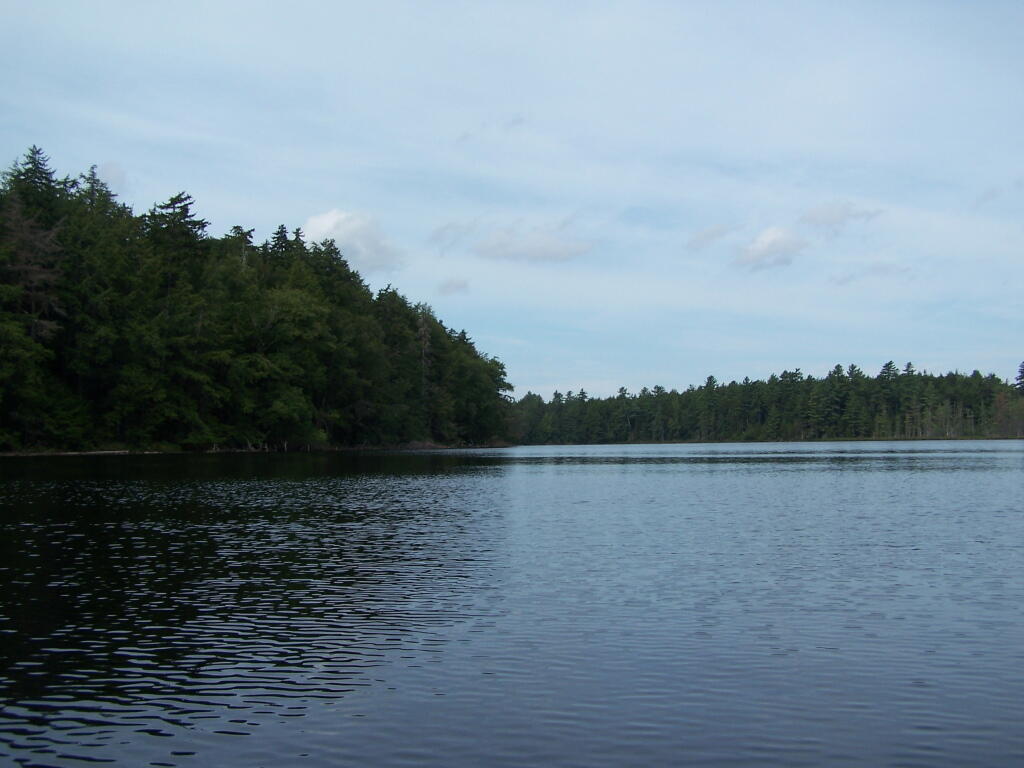
Western Bay of Poliwog Pond. There was somebody camping up on the banks, but other then that it was relatively quiet.
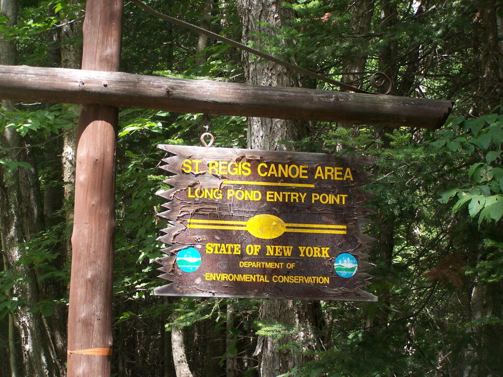
Long Pond Entrance. While I didn’t get a chance to haul my kayak into Long Pond, and do some paddling around there, this is the access point fo the Saint Regis Canoe area. It looked very popular.
Swamp Across from East Pond. This was located directly across East Pond on Floodwood Road.
East Pond. On Floodwood Road. Looked quite pretty. There is one drive-in campsite in here, along with an accessible boat dock.
Middle Pond. On Floodwood Pond road. There also is a large drive-in campsite on Middle Pond.
Floodwood Road. There are 15 drive in campsites on this very dusty dirt road, that is heavily traveled, mostly by people heading to the Boy Scout Camp and the Saint Regis Canoe Area. This along Middle Pond.
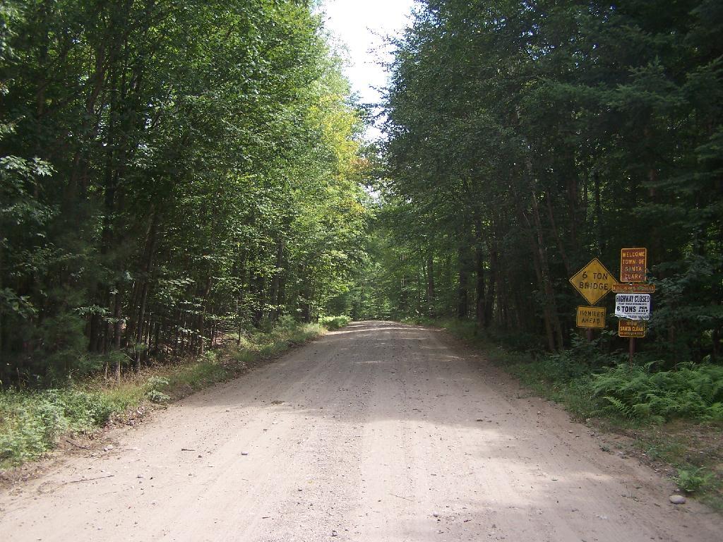
Floodwood Road at Franklin County. This is where you cross from being in very remote Town of Altamont to Santa Clara. Pretty area for sure.
Here is a map of Floodwood Road, Polliwog Pond, and surrounding ponds.