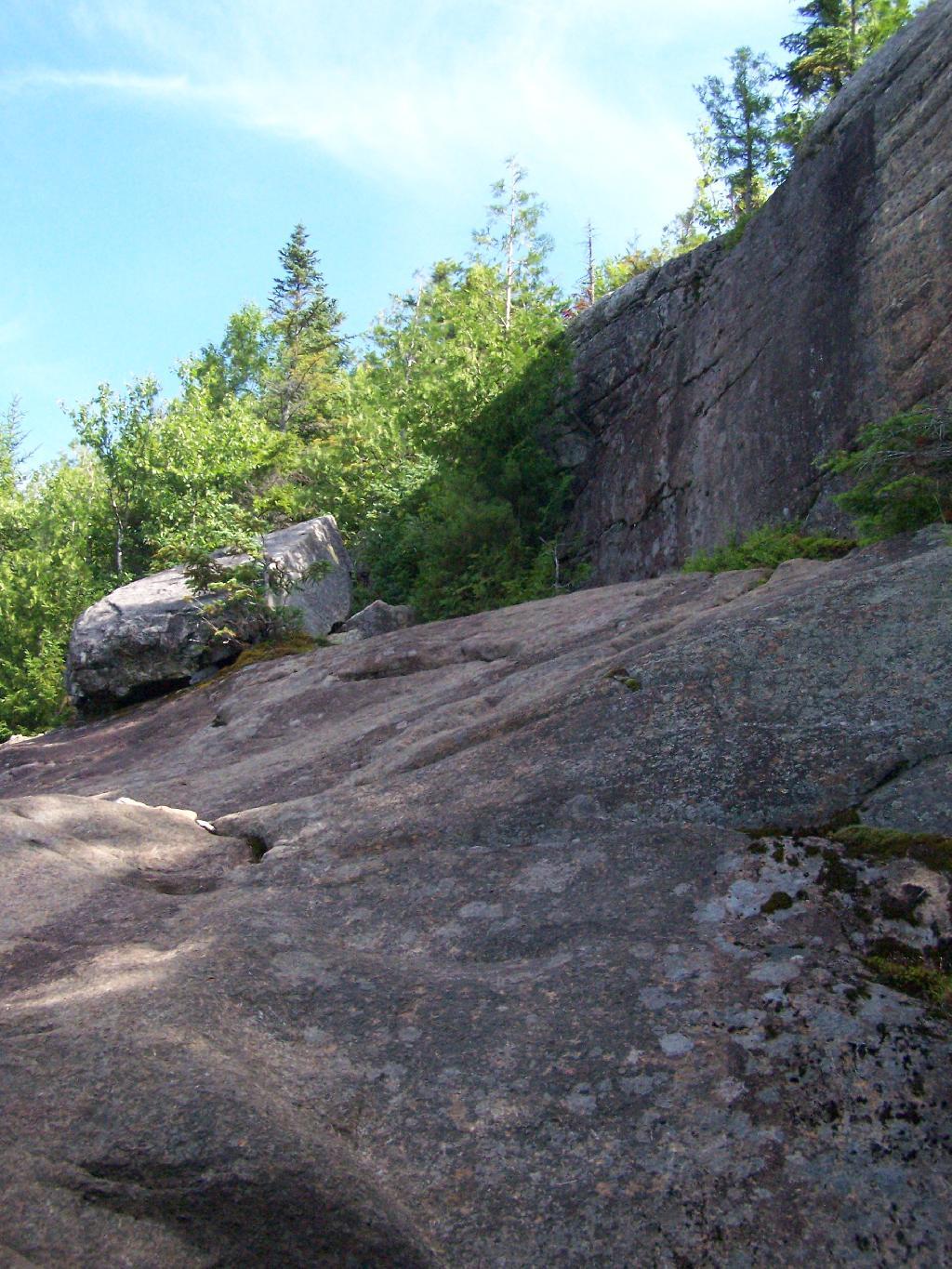
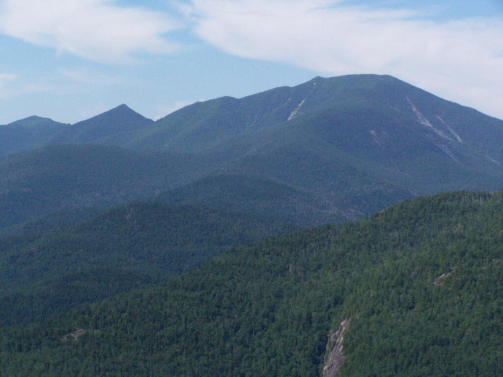
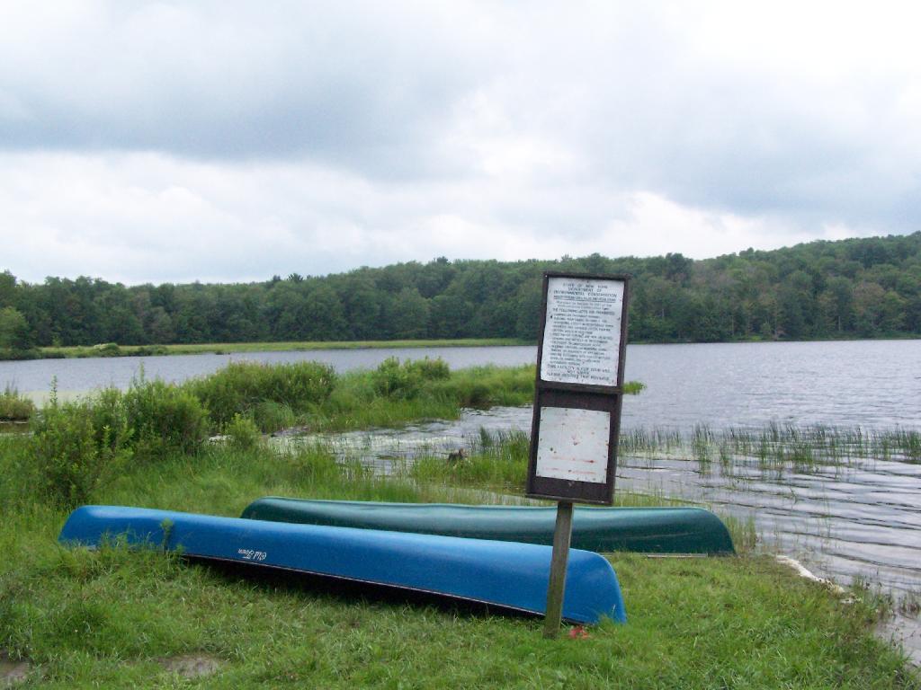
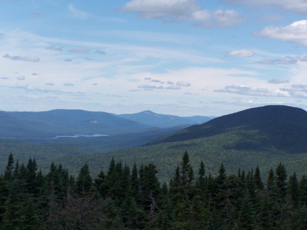
Horseshoe Lake is located on South Eastern Saint Lawrence County, on a dead end state highway, NY 421, a spur from NY 30 South of Tupper Lake. It offers 6 campsites scattered along the lake, with 6 others on nearby roads. It is also near the Bog River Flow Canoe/Kayak Area. Don’t expect to get a campsite on the lake in the afternoon, but the sites along the truck trail are rarely used.
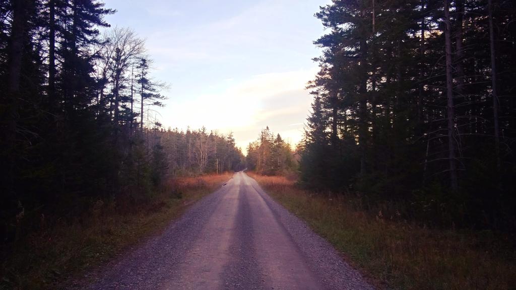
Six Miles to Horseshoe Lake. This is the turn off for NY 421, one of the strangest state highways in the state. It is a dead ended highway, that leads to gravel roads around Horseshoe Lake and Bog River Flow. It is very twisty and narrow, and portions have not been resurfaced in over 50 years.
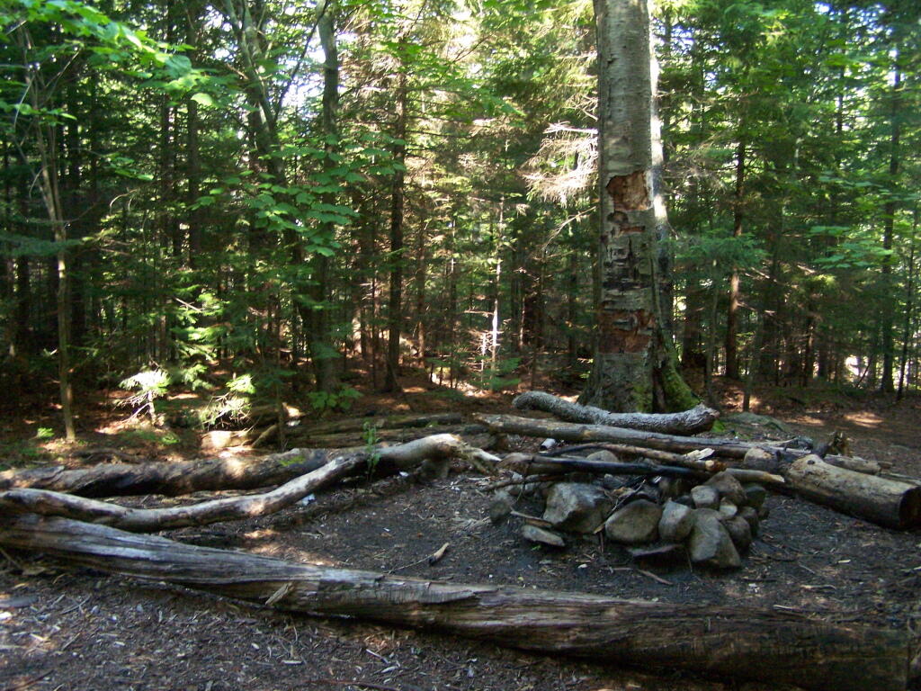
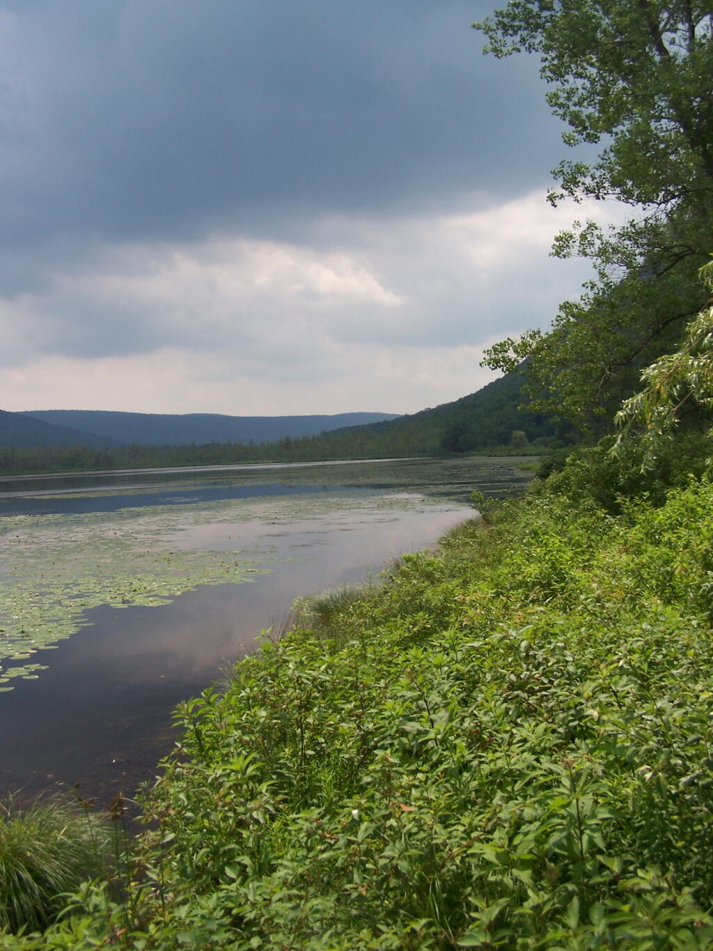
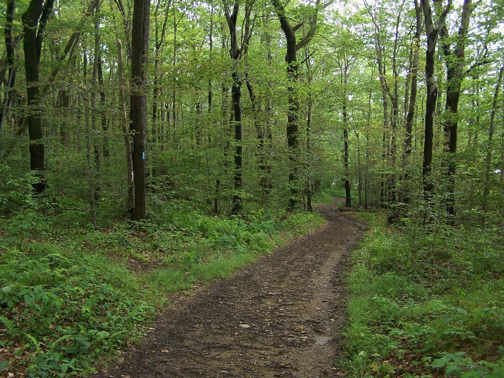
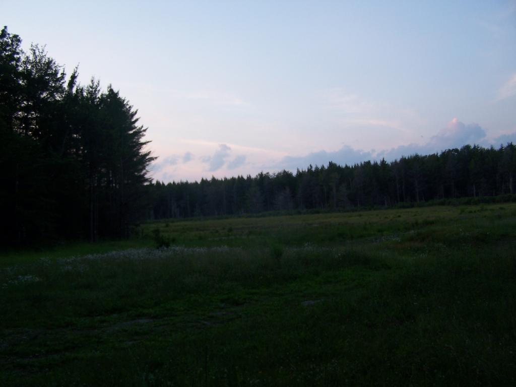
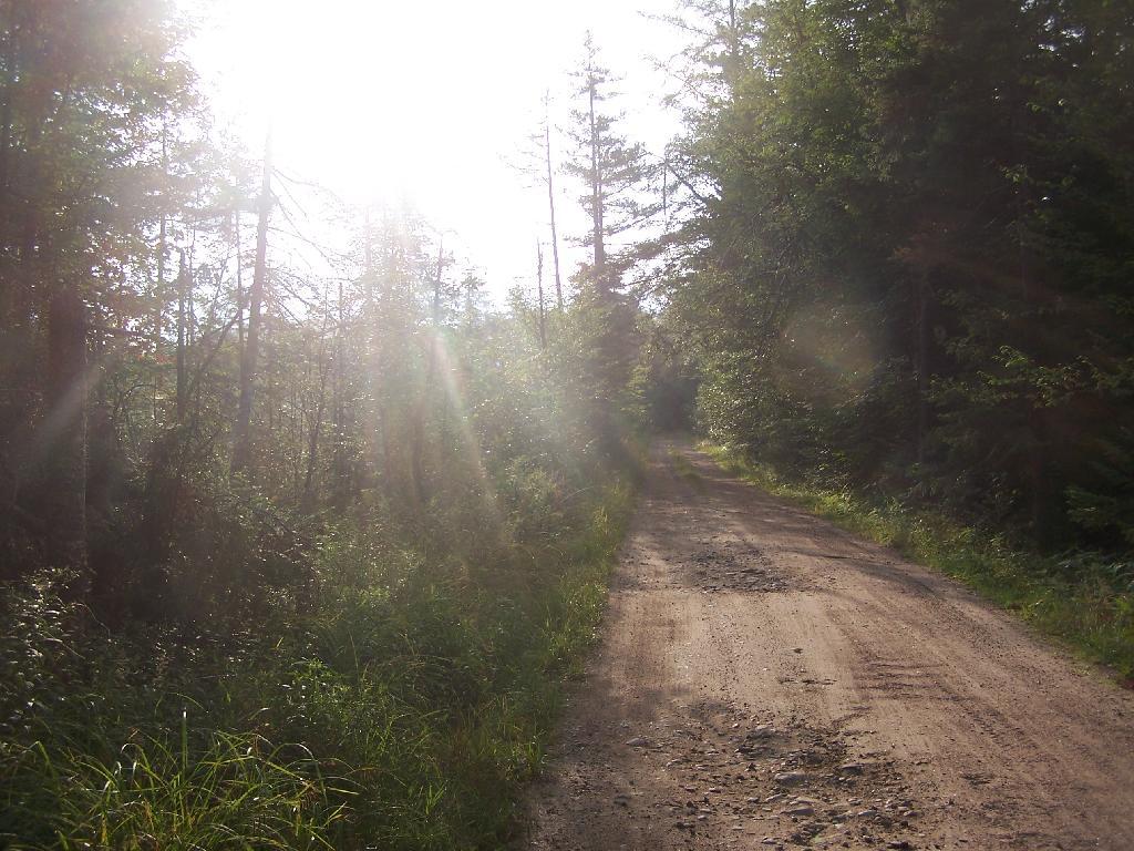
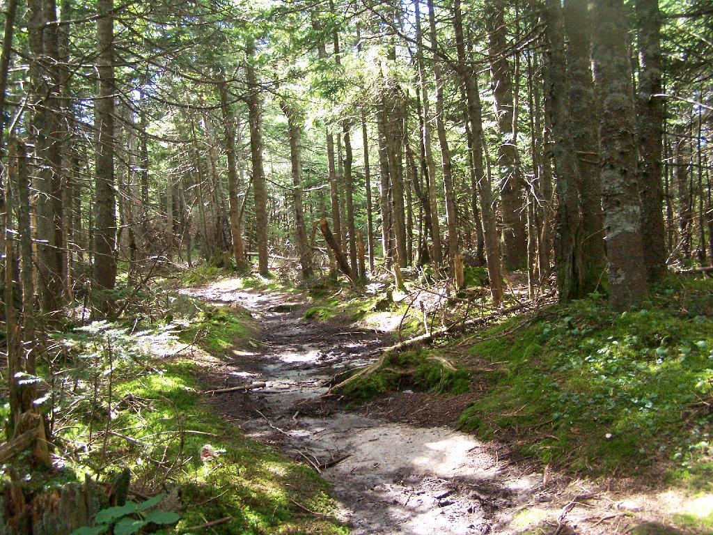
After The Pavement Runs Out. About a two miles from the paved end of NY 421, I camped. This is first thing in the morning, with the sun shining down from the wetlands near where I camped.
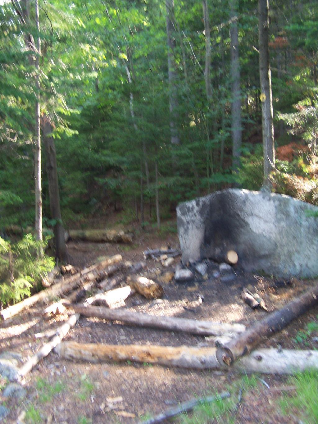
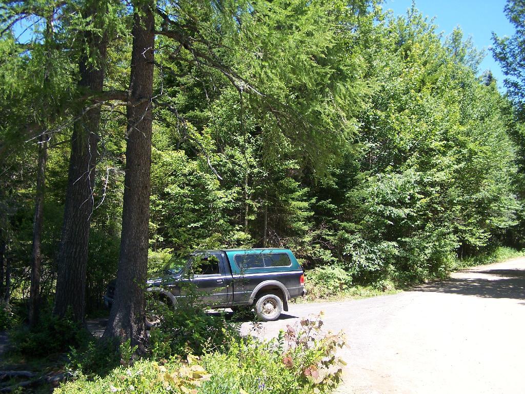
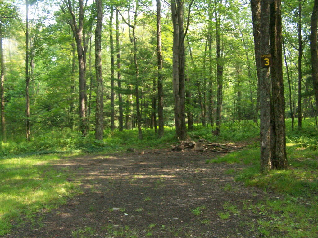
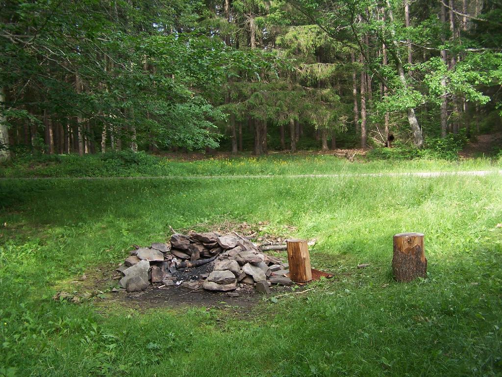
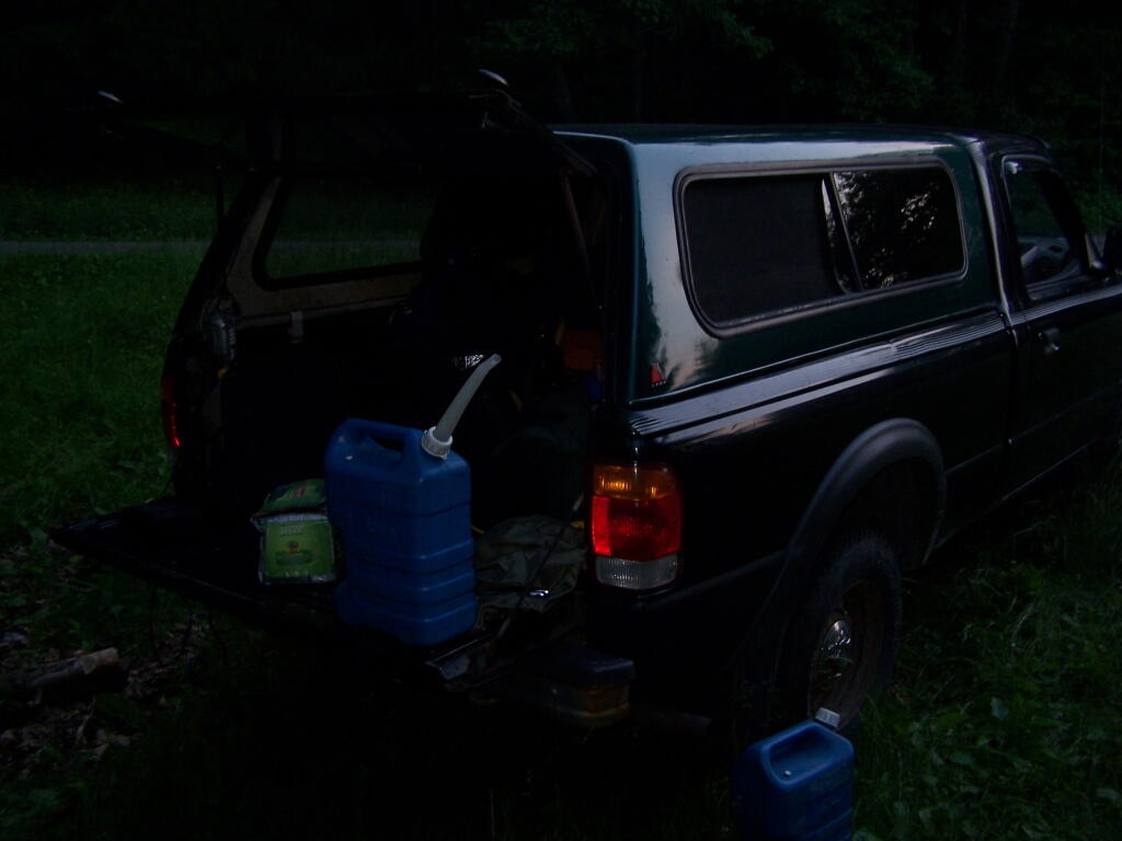
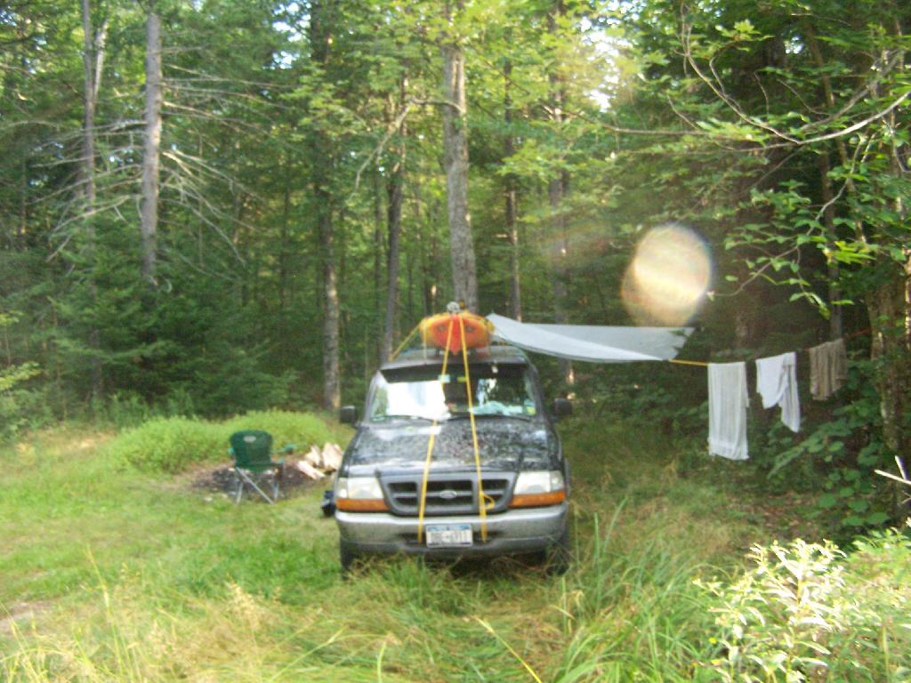
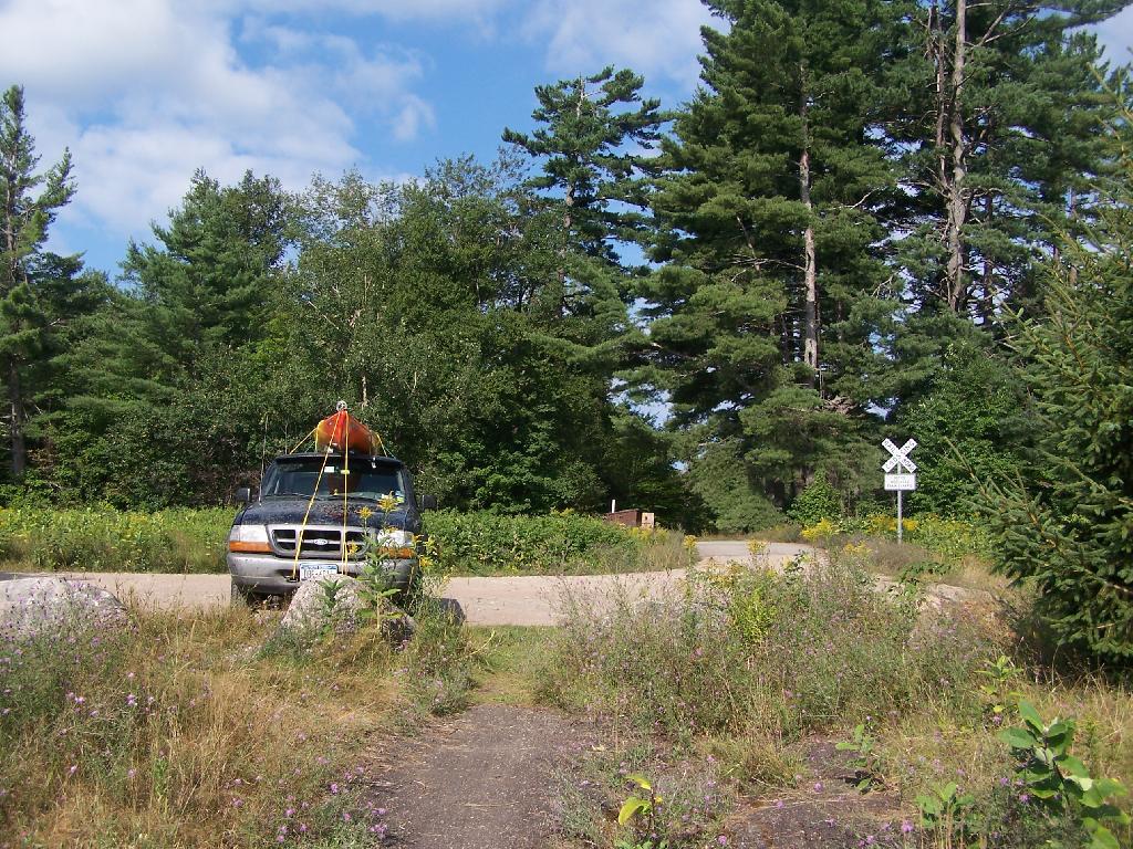
Campsite No 9. This is Campsite No 9 at Horseshoe Lake, on an Unnamed Adirondack Park Road, about two miles from the end of NY 421/Paved. I could not get site on the lake, arriving at 5 PM at night, but it’s still a nice campsite. This area of Saint Lawrence County is so remote, only 2 big pickup trucks, and logging truck passed by in the 12 or so hours I was there.
Not Fancy Campsite. By no means was Campsite No 9 on the Unnamed Road, particularly fancy. But it provided a place to camp, and was a three minute drive down to the lake. I could have gotten a spot on Horseshoe Lake most likely had I arrived in the morning, as it seemed like campsites tended to clear out in the morning.
Road Crosses Railroad Tracks. This is where the weird hair-pin turn appears on maps at the end of NY 421. I’m not sure why it follows this route, as the terrain is flat, but maybe at one time there was an inholding or private home located in here.
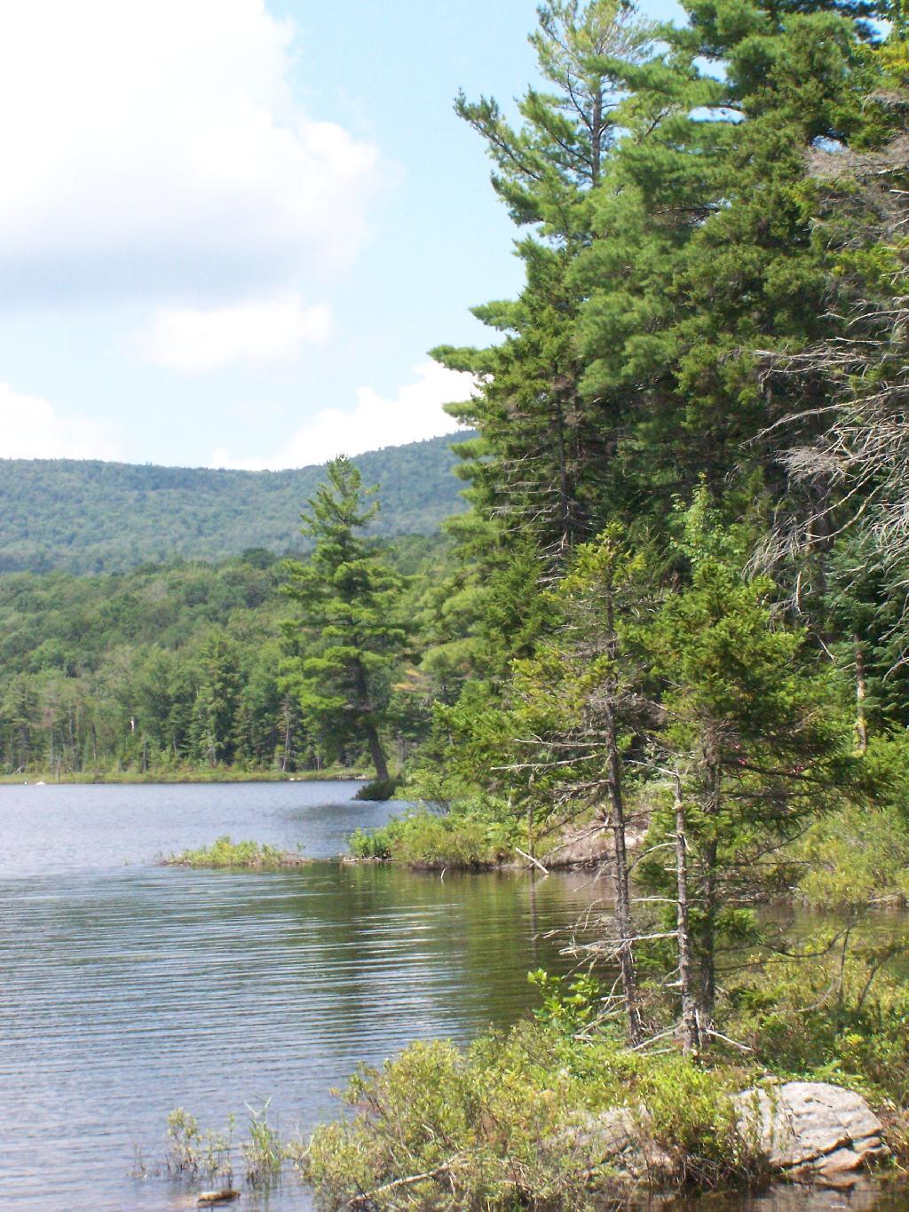
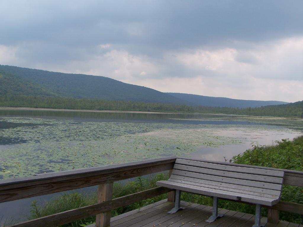
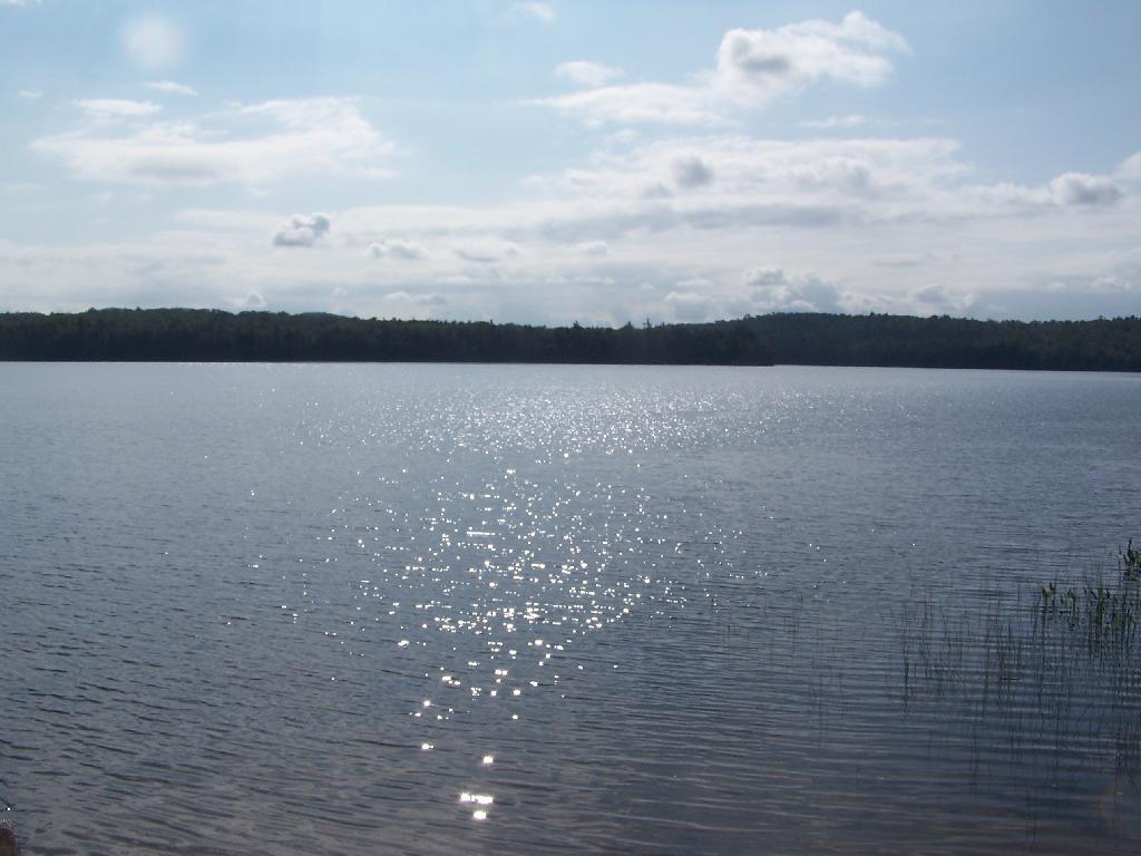
Horseshoe Lake in Morning. Heading swimming in a couple of minutes. The water was real nice.
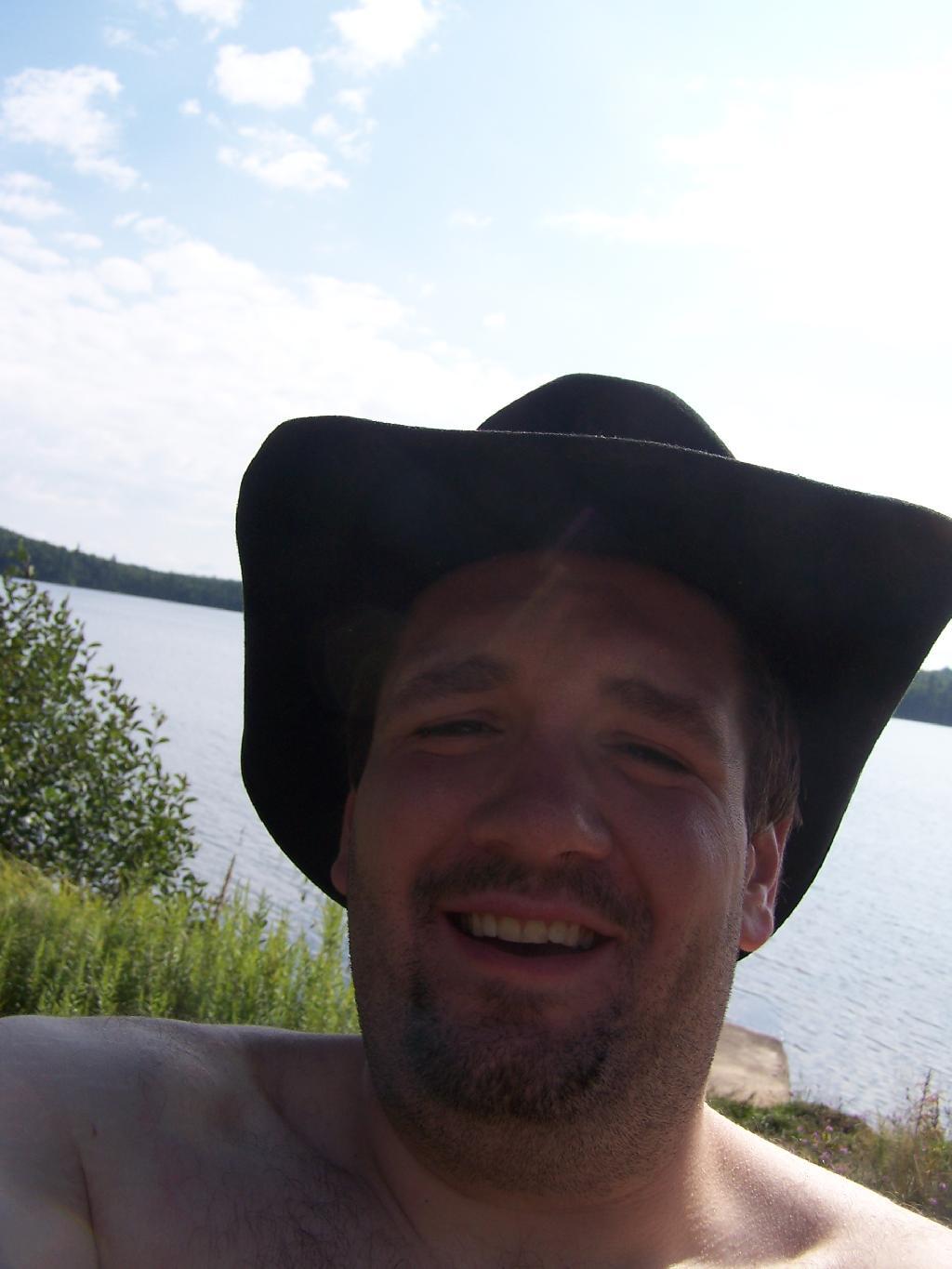
Cowboy Hat, Swimming Trunks, Work Boots. Not that you could get the total picture from this image. But the cowboy hat and work boots came off before the dip. A real country boy thing.
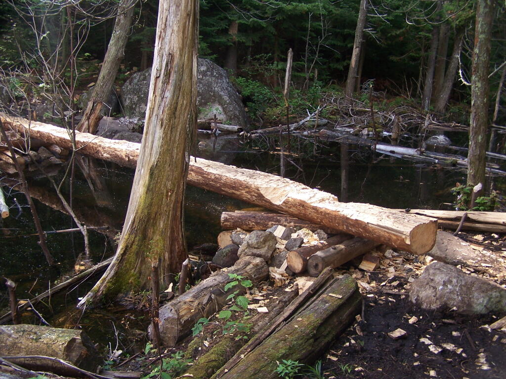
Unnamed Dirt Road. This is the road that goes from Horseshoe Lake to Mount Arab / Piercefield.
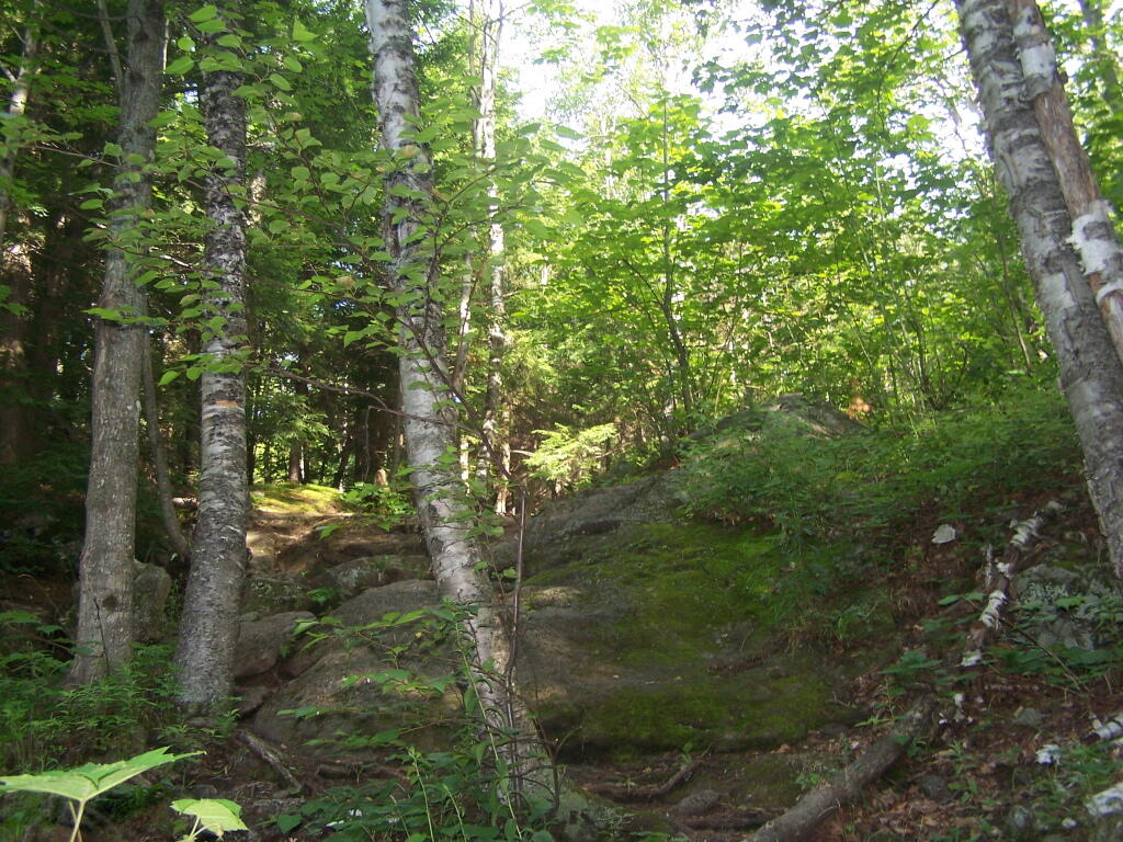
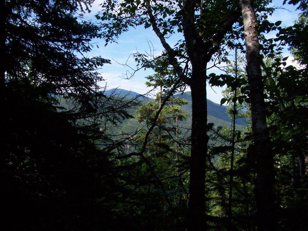
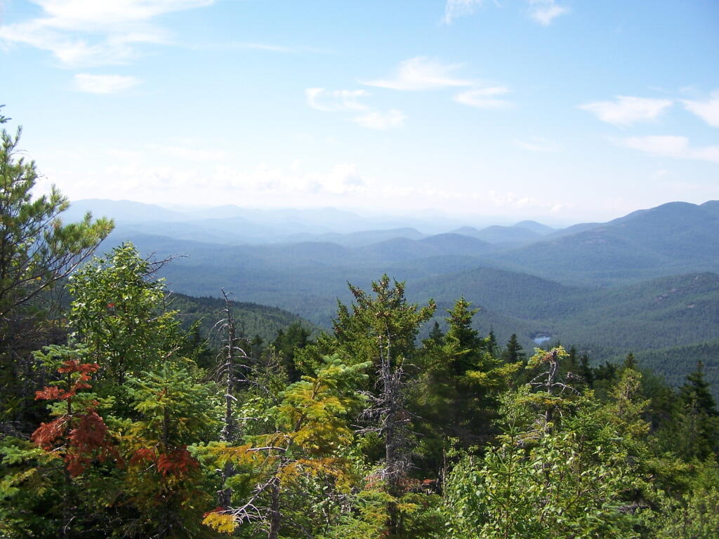
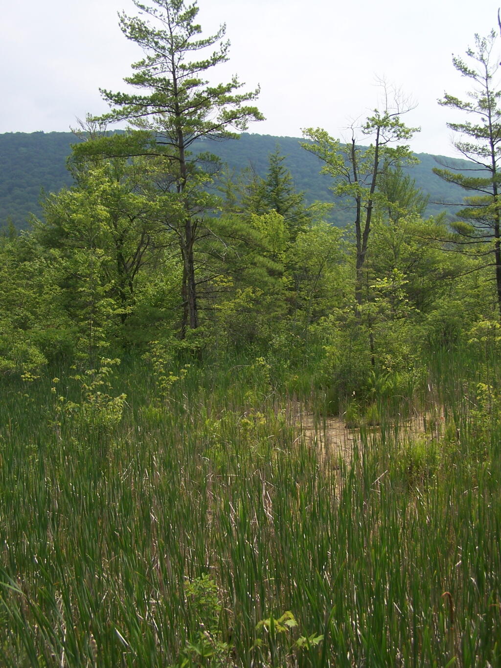
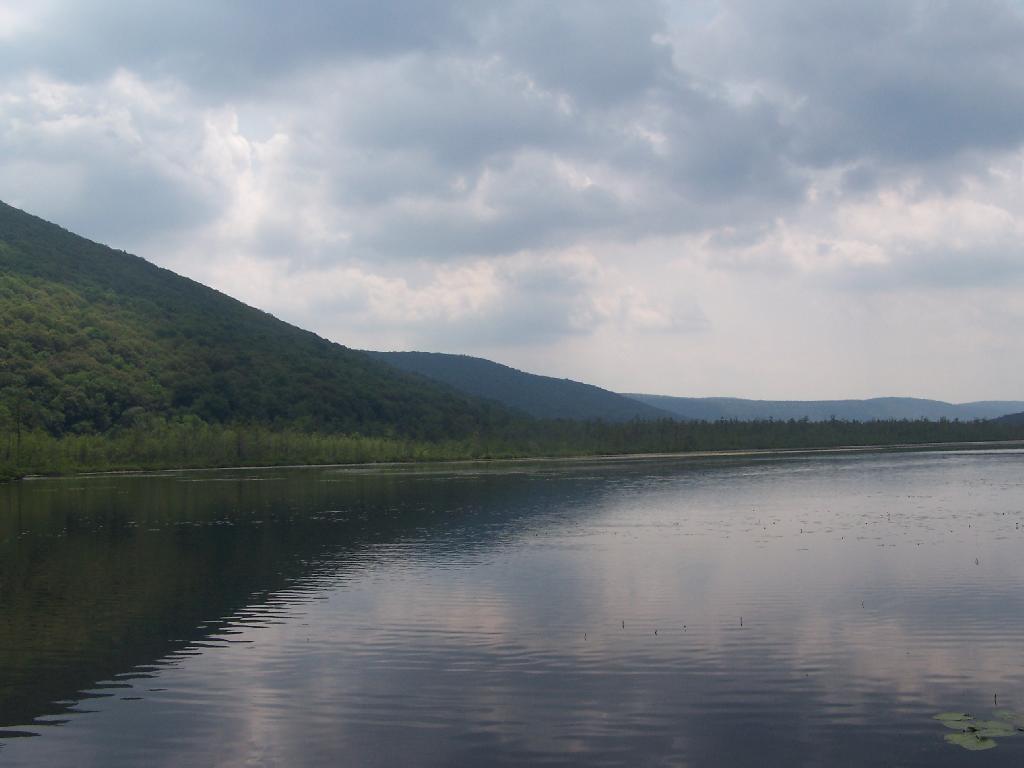
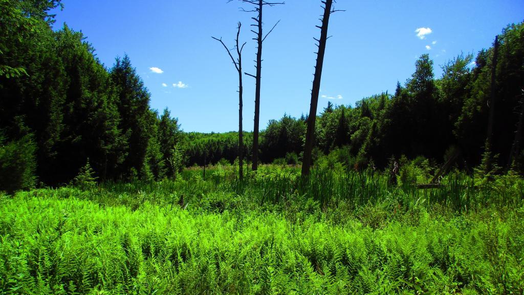
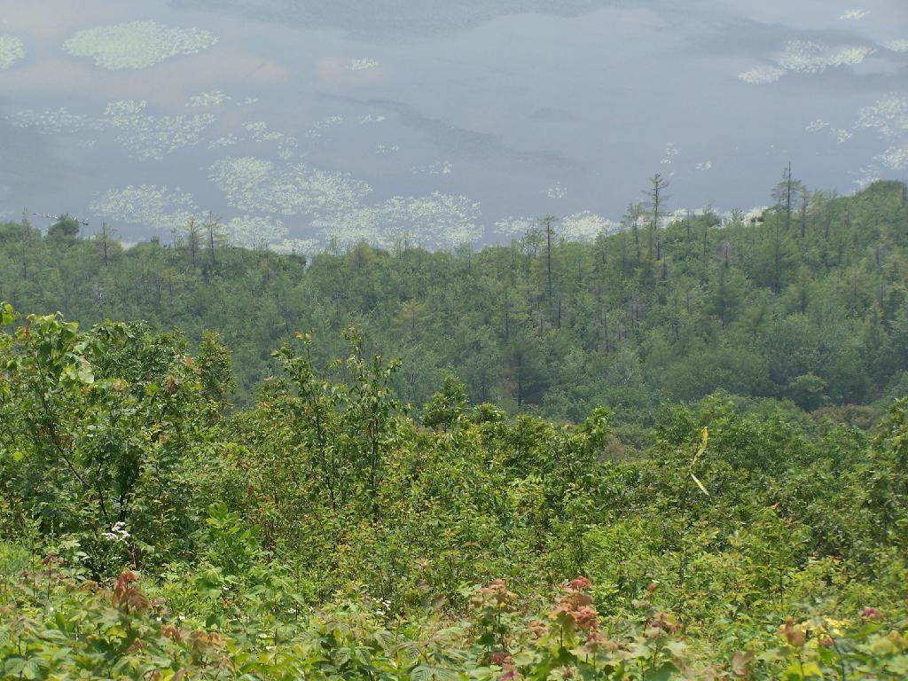
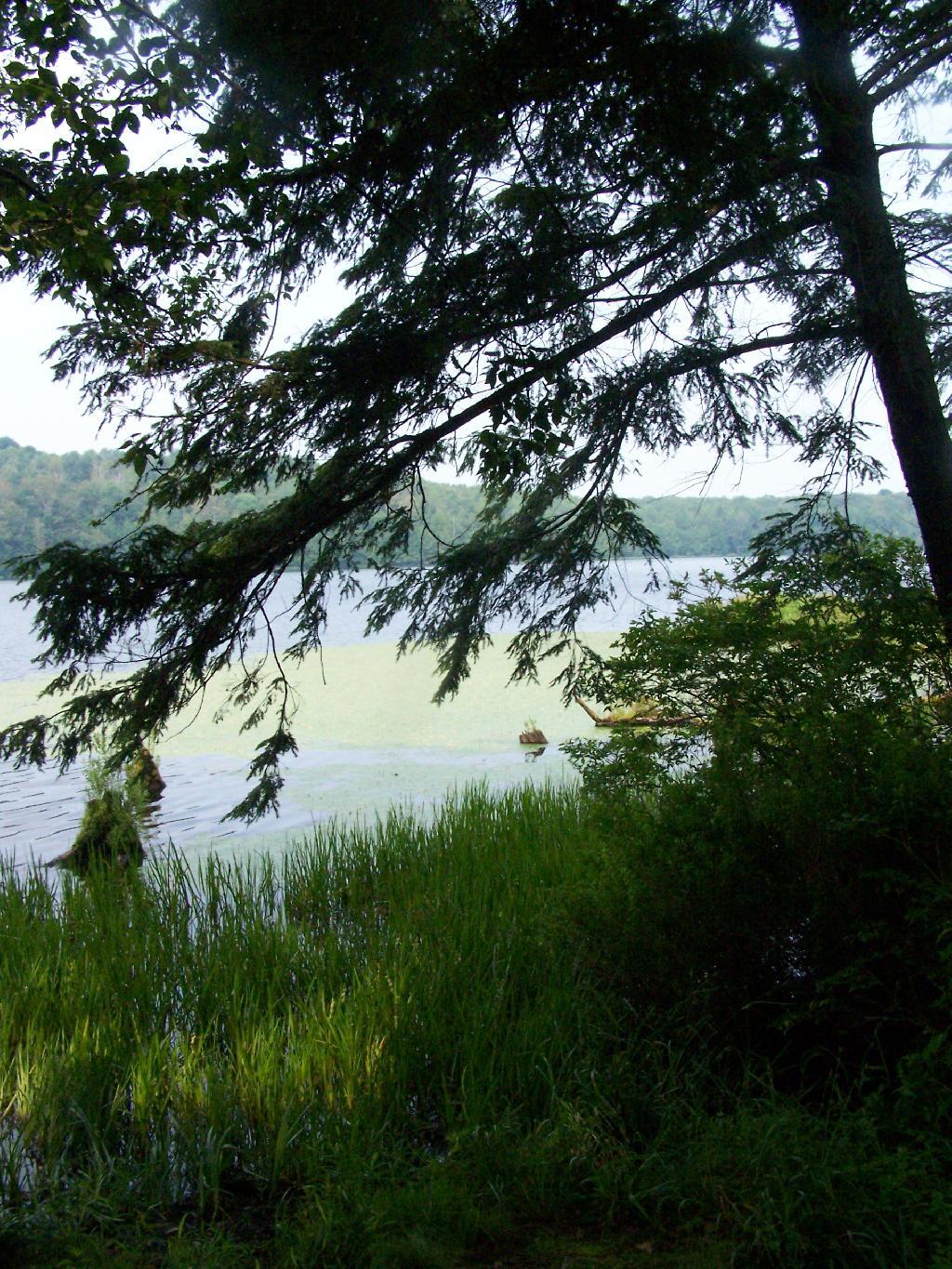
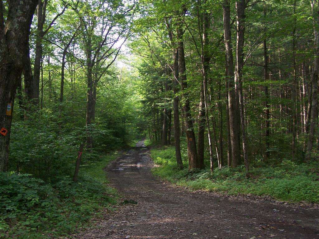
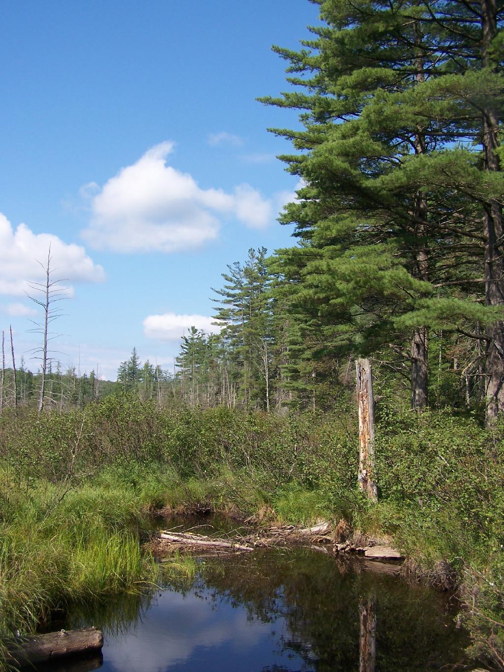
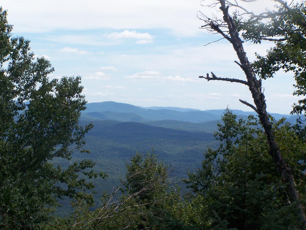
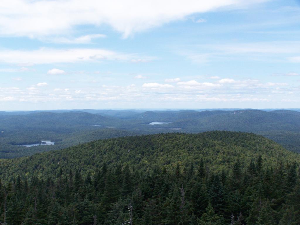
Wetlands Along Horseshoe Lake. This is about a mile after the pavement runs out on NY 421, just after the Bog River Flow / Lower Lows Dam Road turn-off
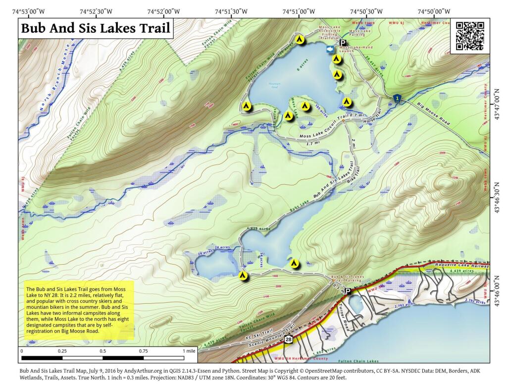
Here is a map of where I camped, on the truck trail, west of Horseshoe Lake.
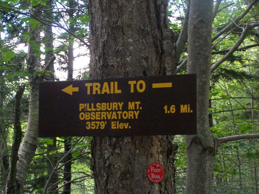
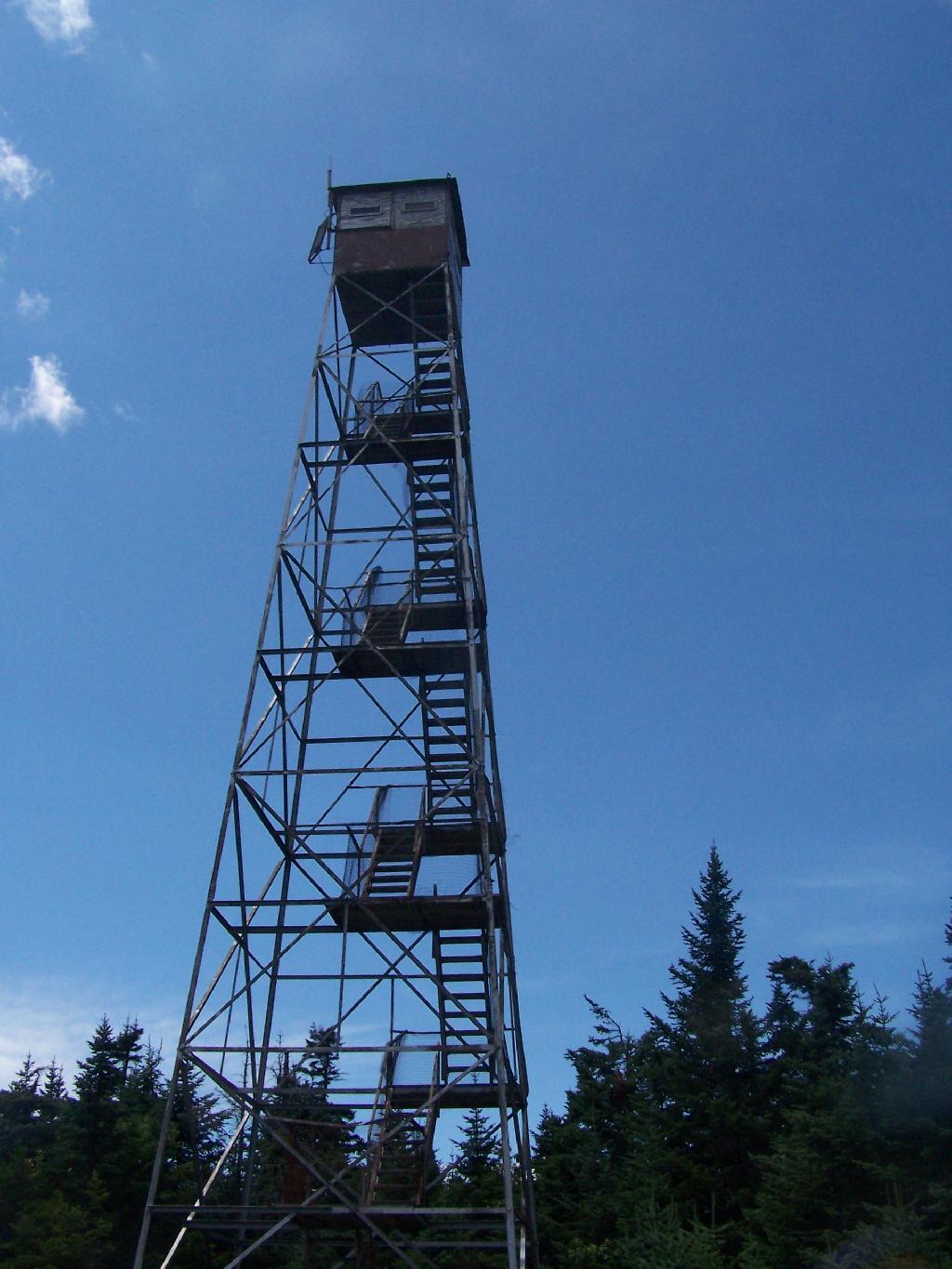
Pillsbury Mountain Firetower is located at the edge of the Jessup River Wild Forest and the West Canada Wilderness. To reach there, you have to drive North of Spectulator, and take about 6 miles of fairly smooth logging roads through International Paper’s Perkins Clearing Easement.
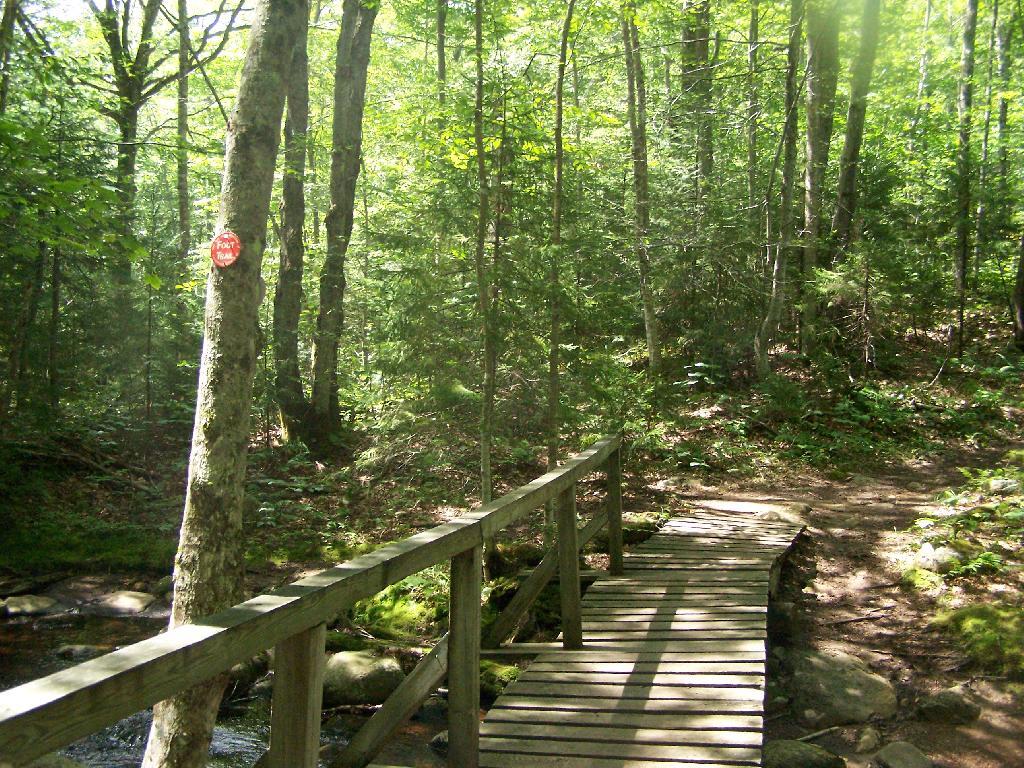
Hiking Bridge Across Miami River. Not that th Miami River really deserves to be called a river, but on the trail up the Pillsbury Mountain, its particularly small.
Taking the trail Up Pillsbury Mountain. It’s about two miles long, and not a difficult hike, although you do gain about 1200 in elevation.
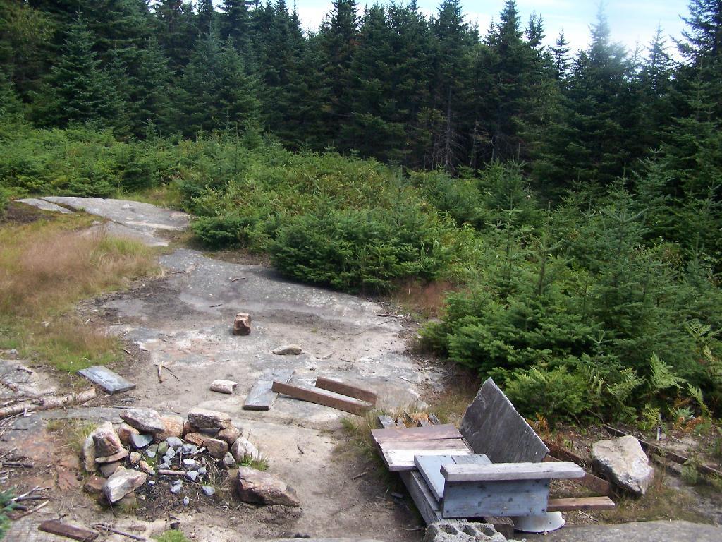
About a 1/4 mile before reaching the tower, reach marshy and thick boreal forest that the trail passes through, with some re-routes to avoid the muck kicked up over the years.
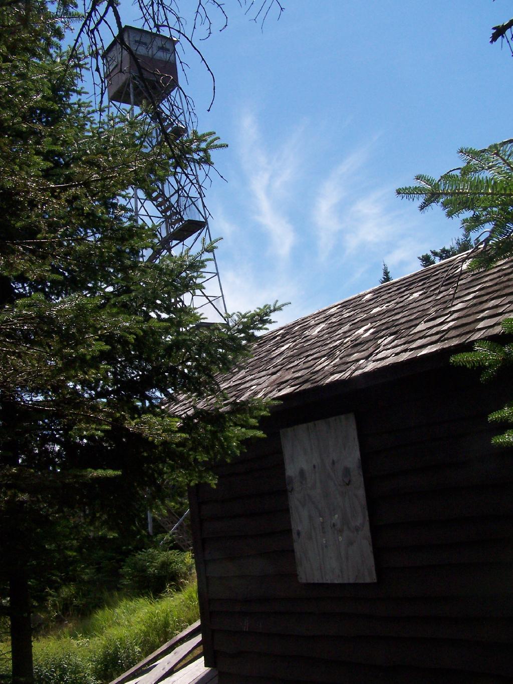
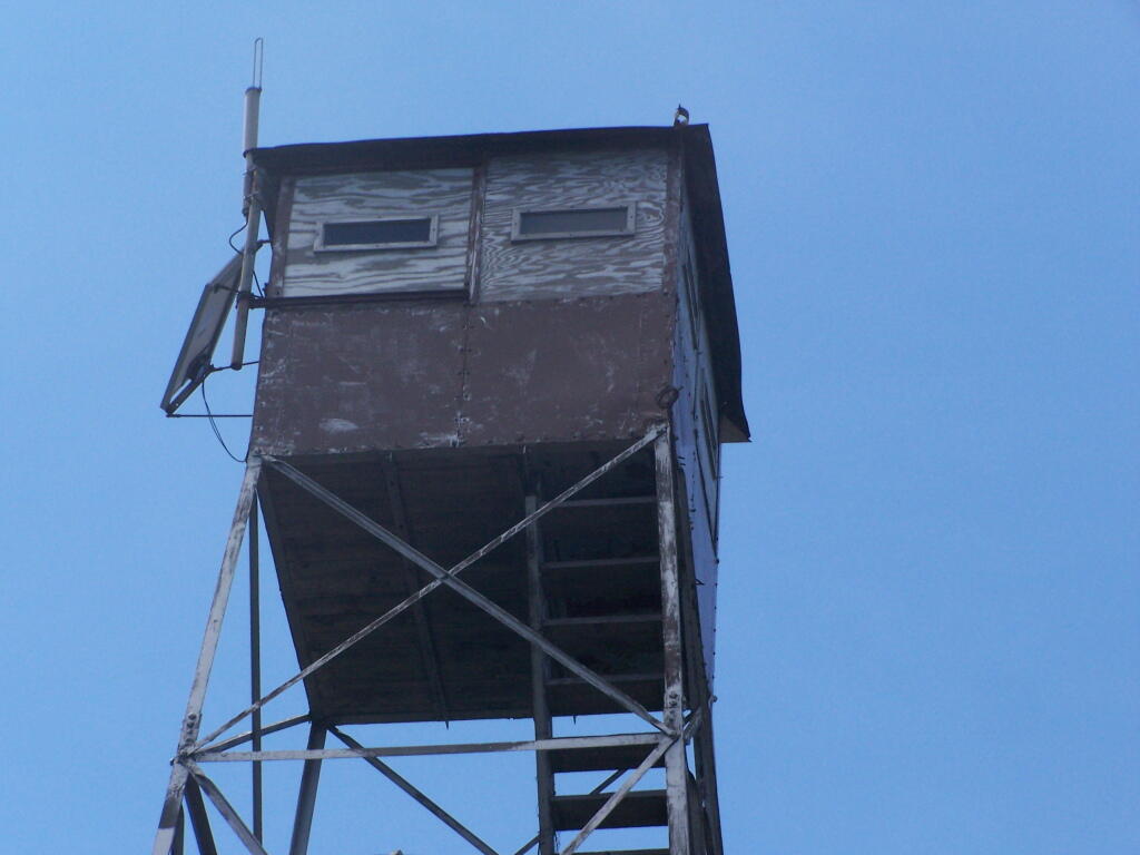
Approaching Fire Tower.
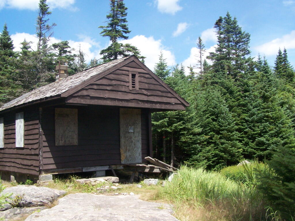
People Die Here. I kid you not, that’s what the cabin says when you first get here. Combined with the creepy fire tower top, it’s kind of neat.
Tower Cabin. That sure looks scary, doesn’t it? Now I understand why people die up here, probably with a secret DEC Forest Ranger, who hides up there, shooting at people he or she doesn’t like. Or maybe not.
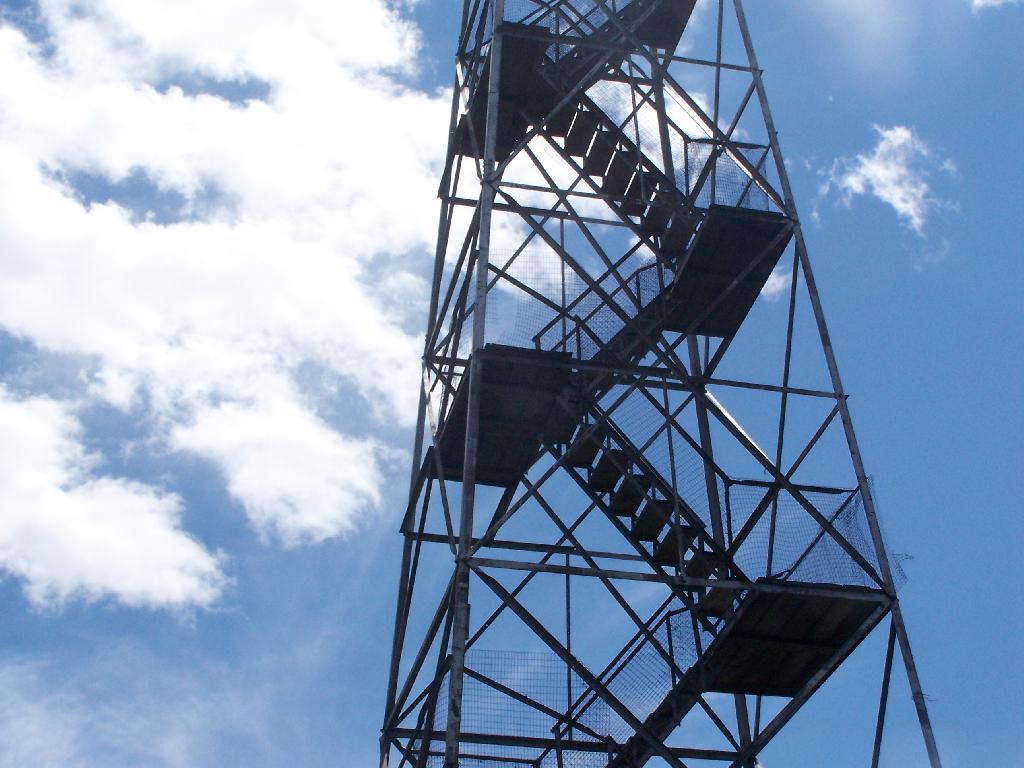
The tower is pretty conventional with normal looking landings, a rangers cabin, and a clearing for a helicopter to land in an emergency.
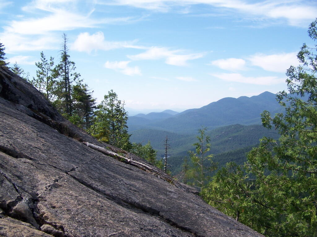
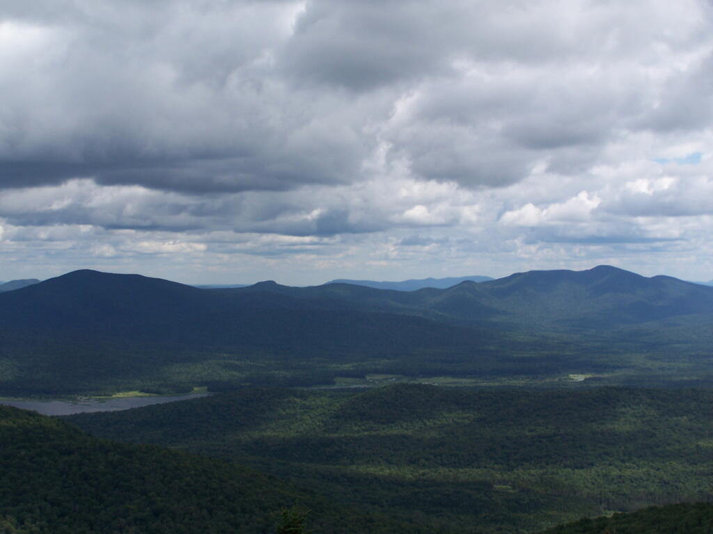
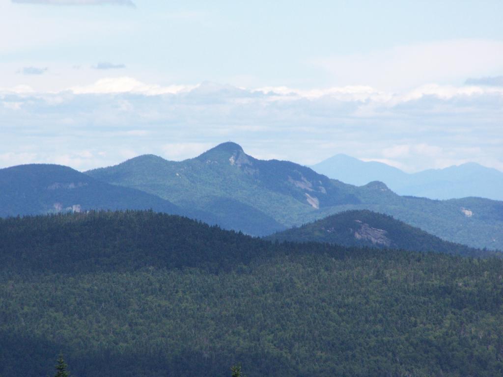
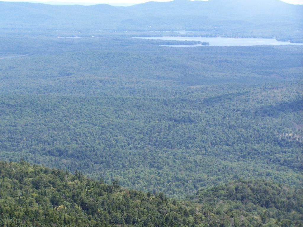
The views from the tower are quite great. Looking east thru the Jessup River Wild Forest.
Snowy Mountain to the North. If you look carefully, you can see the tower up top of it.
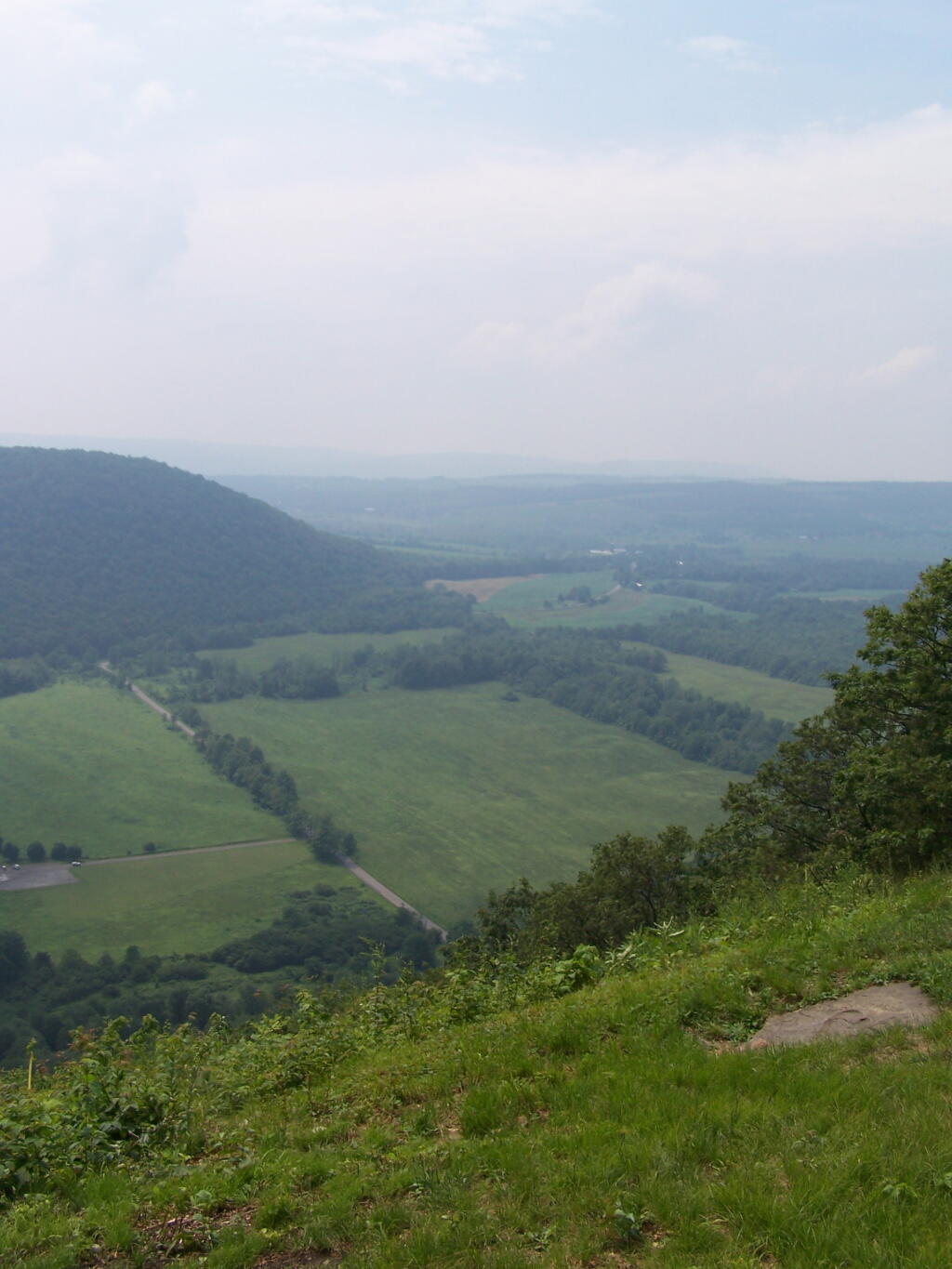
South towards Lake Pleasant and Spectulator.
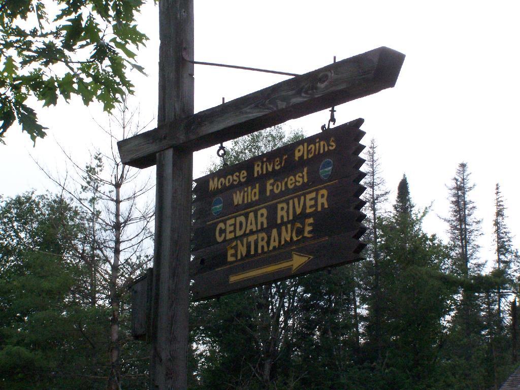
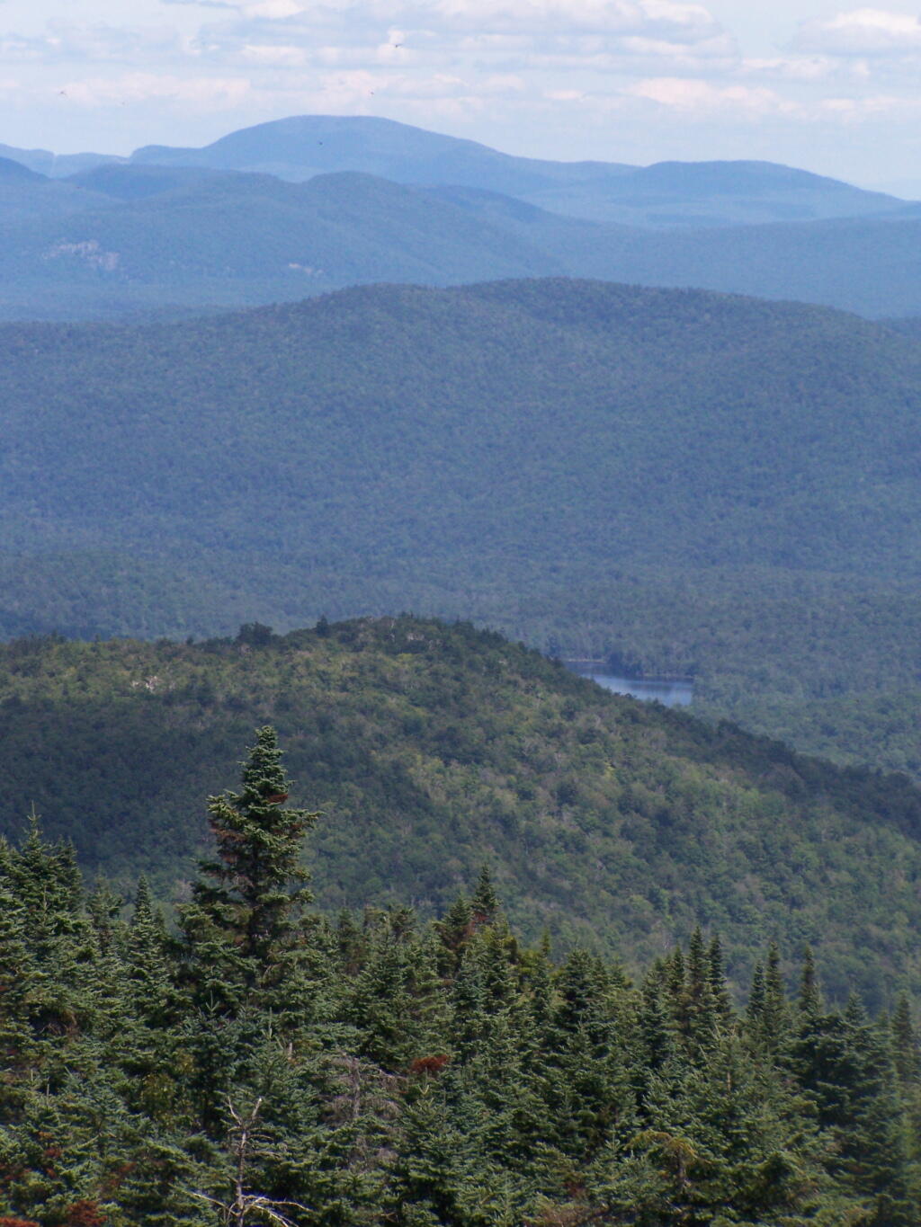
Moose River Plans and West Canada Creek Wilderness from Pillsbury Mountain Fire Tower.
North towards Cedar River Flow and Wakely Mountain. If you look carefully, you should be able to see the Wakely Mountain Firetower from here.
About three weeks ago I decided I wanted to go hiking in the Adirondack High Peaks. It was my first time hiking there, and it probably will be the last time I go up there for a while, mainly because of the absurdly bad fear of heights. A 120 mile drive from Albany, it took me about 2 1/2 hours to reach the trail head on NY 73.
The first part of the trail is steep (as is most of the trail), but with limited views.
After 3/4 mile of a hike, it opens up to a ledge with views of the Keene Valley.
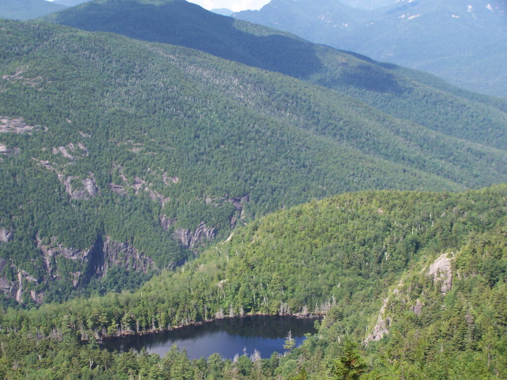
Shortly there after you reach the Giant Washbowl, a mountain pond with interesting views, surrounded by mountains.
You also get a neat view of Nubble.
There are two primative campsites along Giants’ Washbowl with no facilities except some logs to sit on.
You cross Giants’ Washbowl on a log.
With the confirous trees surrounding Giants’ Washbowl you would have no idea what season it was from this picture.
Past Giants’ Washbowl, the trail gets steeper and goes through a series of switch backs as you continue to climb.
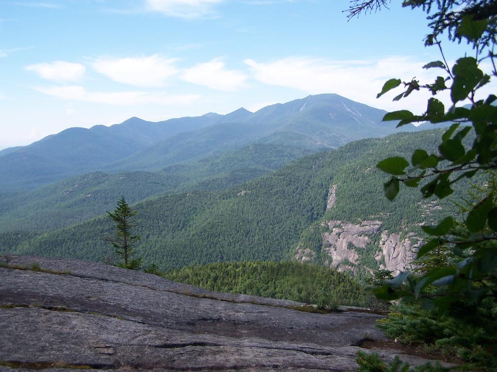
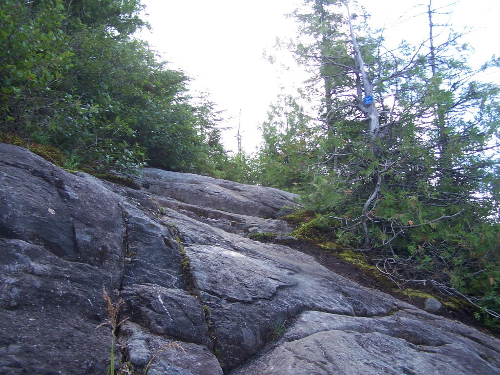
At about 2 miles the trail opens up to a series of open rock scrambles, where you walk along a ledge of sloped rocks. It did nothing for me.
Literally, the trail runs right along this sloped ledge. These open ledges just made me sick. I started to puke, with my fear of heights kicking in as as scrambled along this.
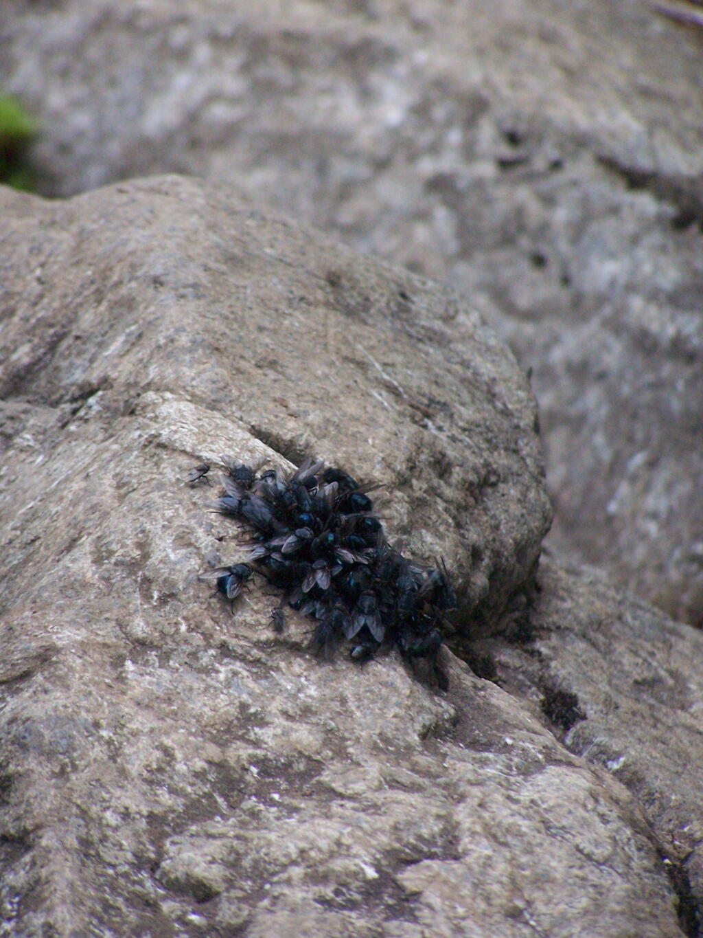
That and seeing the maggots swarming over this piece of dung right on the trail did nothing for me.
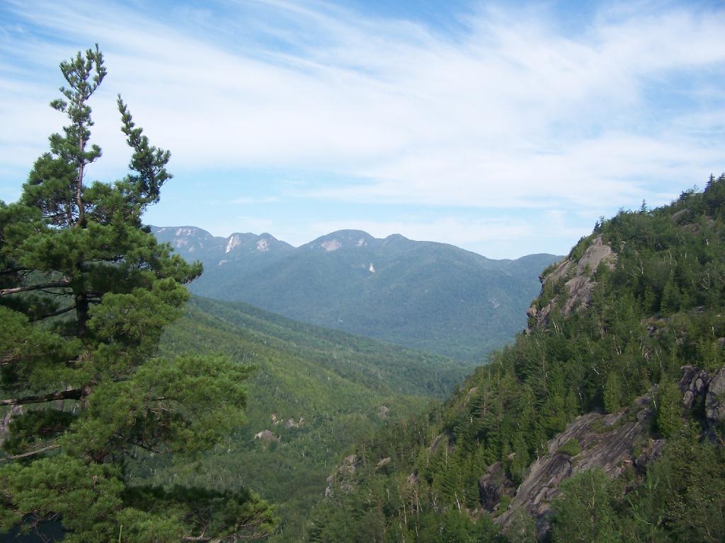
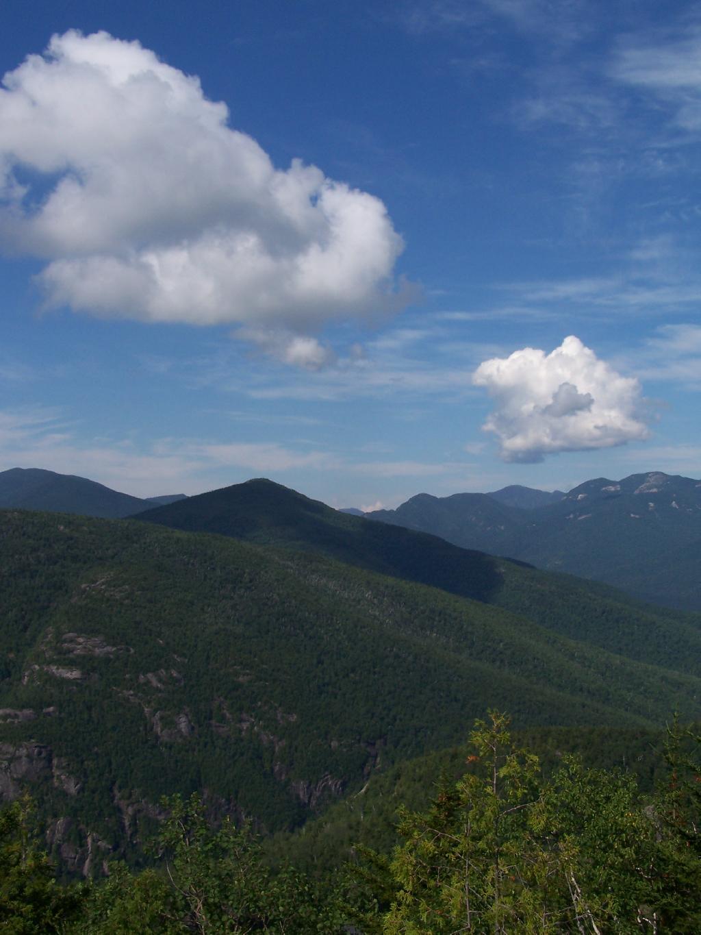
That said, the views from this ledge where spectular.
I continued to climb another 300 feet or so on the trail, when I decided to go back, but I did get a chance to get some pretty awesome pictures from up above.
On a rock ledge, looking down at Giants’ Washbowl.
And Noomatic Mountain.
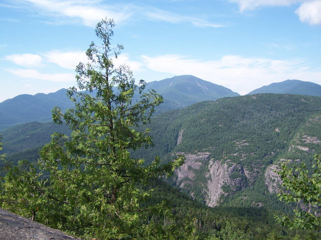
Looking South-West towards Pharoah Mountain Wilderness.
Dix Mountain and surrounding range.
At any rate, this kind of hiking did nothing for me. I decided to descend Giant Mountain, and not spend much more time in the High Peaks Range for the foreseeable future. As much as I enjoy spending time outdoors, the High Peaks with their significant ascent and the open faces just is no fun. Just writing about this mountain and looking at the pictures makes me want to barf again!
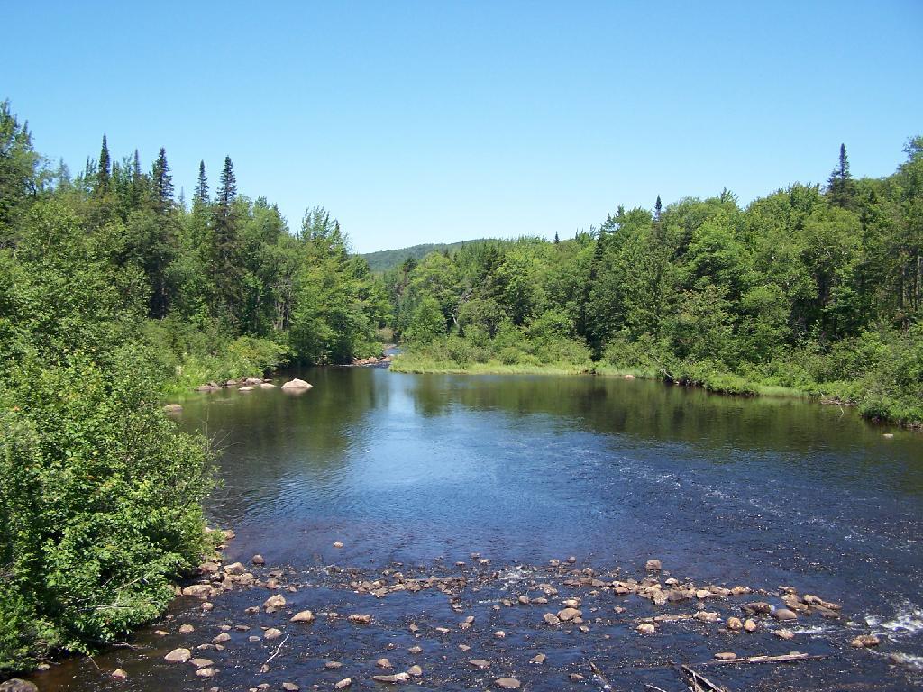
In preparation for my summer vacation I decided to drive through the Moose River Plains Wild Forest. This area has been subject to quite a bit of controversy over the years, in part from the environmentalists who do not believe “drive-in” camping is appropiate use of Adirondack Wild Forest, and most recently from the State DEC which threatened to close this 30 mile truck trail due to a lack of funds.
While my camera was broken while I was able to grab a few pictures. I will take more when I get back from my week up there.
Here is the route. The first 5 miles of Cedar Plains Road from Indian Lake is black top, and rapidly transitions to rough dirt road.
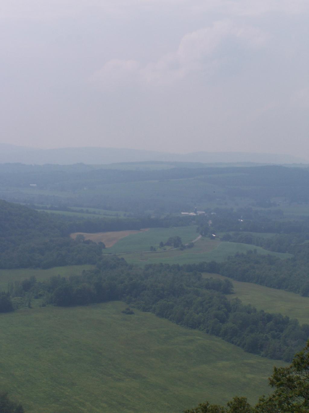
Along the next 20 miles of Moose River Plains Road, there are about 150 campsites, used by tent campers and RVs alike. Many are located far off the roads, and provide a great deal of privacy. The landscape is one of hills, mountains, and deep valleys, and then eventually becomes open sandy plains as you head east. It’s over an hour drive from here to Inlet, via a very rough state truck trail.
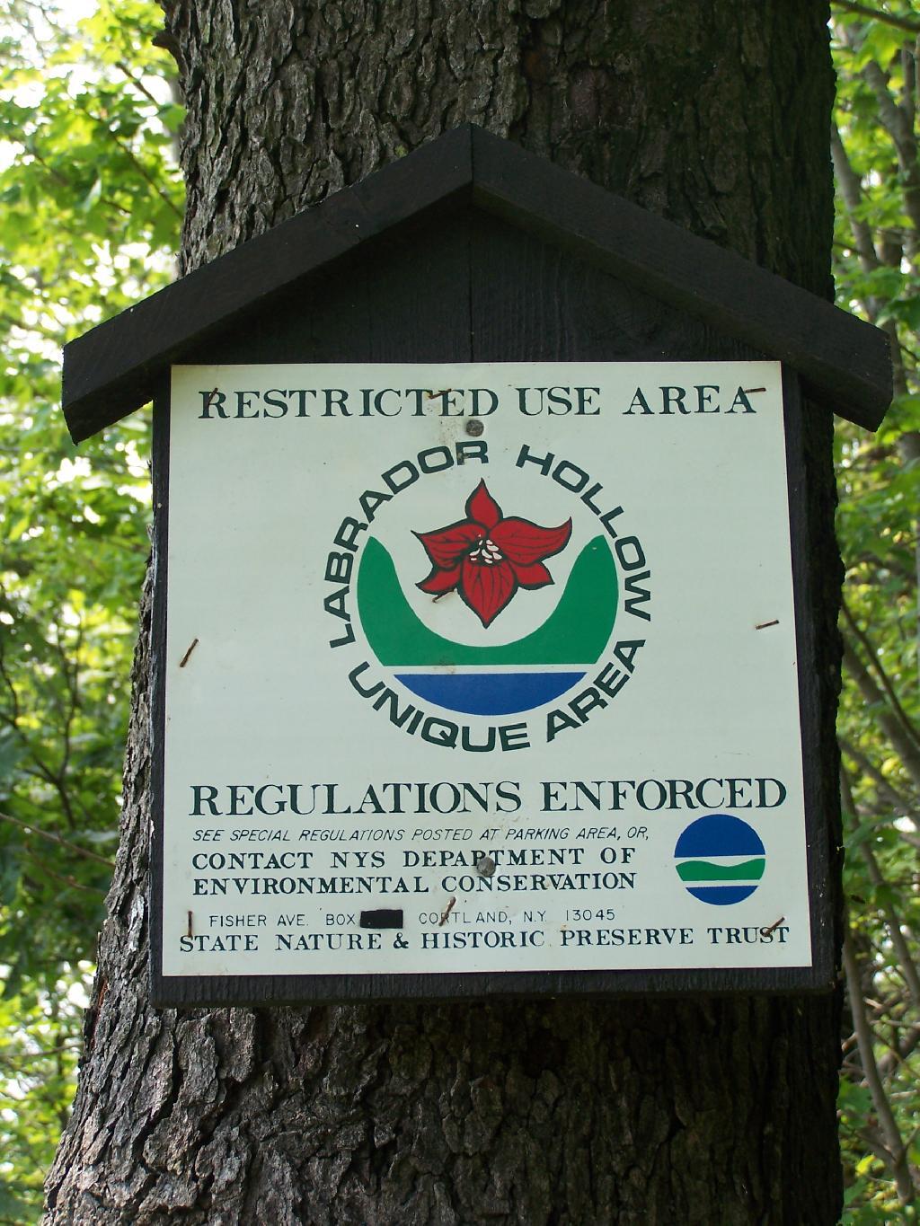
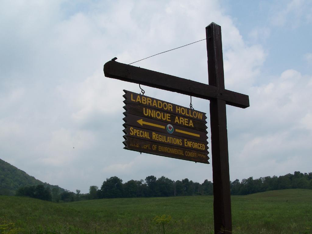
Labrador Hollow is a deep valley surrounded by large hills on both sides. It’s located on the border of Fabius in Ondondoga County (south of Syracuse), and Truxton in Cortland County.
At Labrador Hollow, there are three places you will want to check out:
Labrador Pond
Jones Hill Hang Gliders Cliff
Tinker Falls
There are plenty of signs to guide you to the Labrador Hollow Parking area by the pond.
Through the marshy area, there is a 1/4 mile board walk which provides up close and personal views to the unique wildlife of the area.
You usually don’t get a chance to be right up in a marsh like this, unless your deep in the mud with your boots, or it’s less grown up and you could paddle a canoe or kyack. So despite being a little out of place, it does give you a unique experience.
Looking at Labrador Pond through the marshlands.
There used to be a firetower on Jones Hill, which is now a nature center down by Labrador Pond.
An open section is mowed, so you can sit dwon by the lake and enjoy the views.
Then I drove over to the Kyack/Canoe launch for the pond, on the western side along Labarador Hill.
Besides the kyack launch, there is a series of benches and a boardwalk that extend out into the lake.
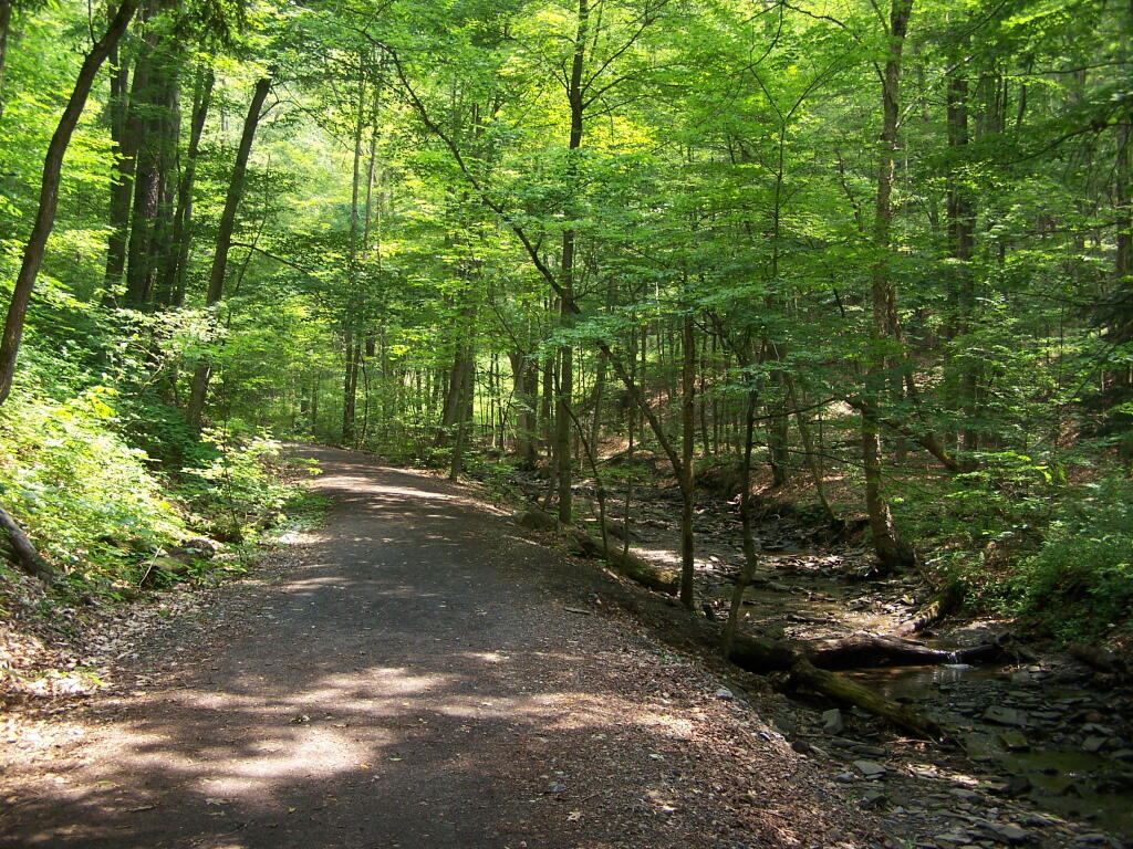
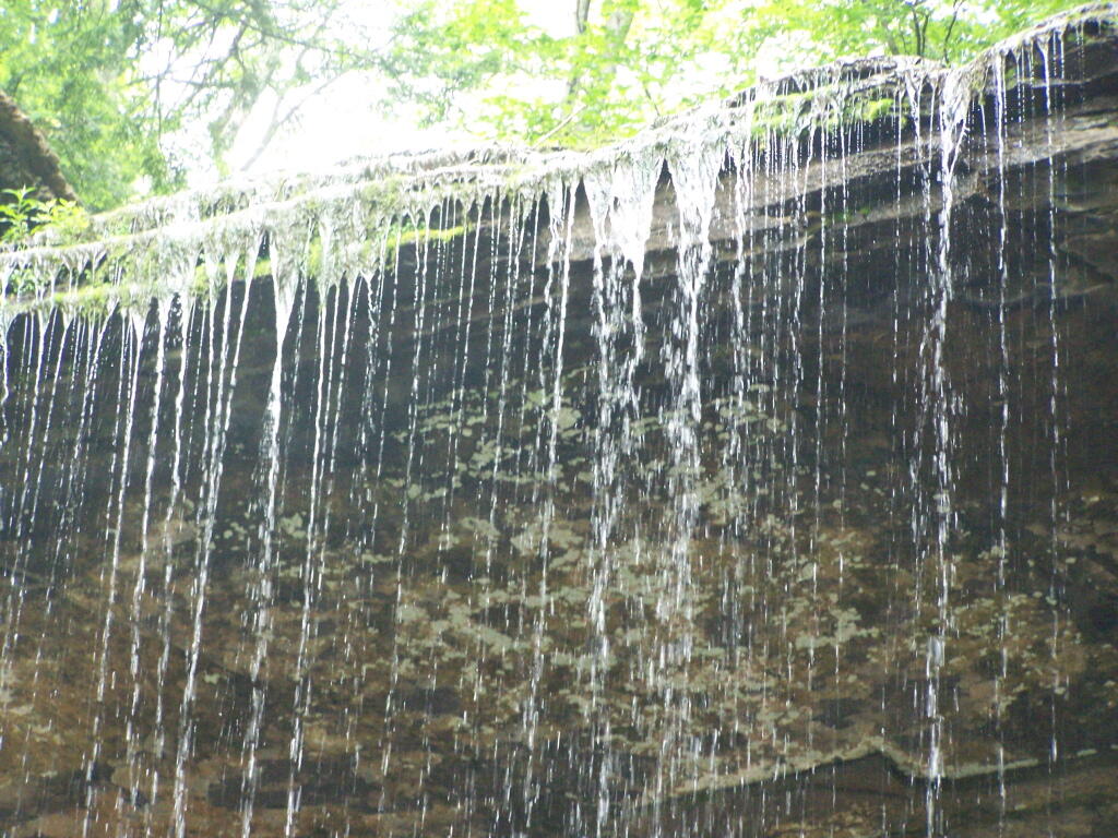
Later I drove around to the Eastern side of the lake, then hiked down to Tinker Falls, an accessiable water falls. The trail is an easy 1/4 mile walk that is only slightly inclined.
The falls aren’t big, being maybe 60 feet at the most, but they are still pretty and simple. I wouldn’t confuse it with Niagara Falls or even the Kaaterskill Falls. By afternoon, a lot of people where playing in the falls, trying to stay cool.
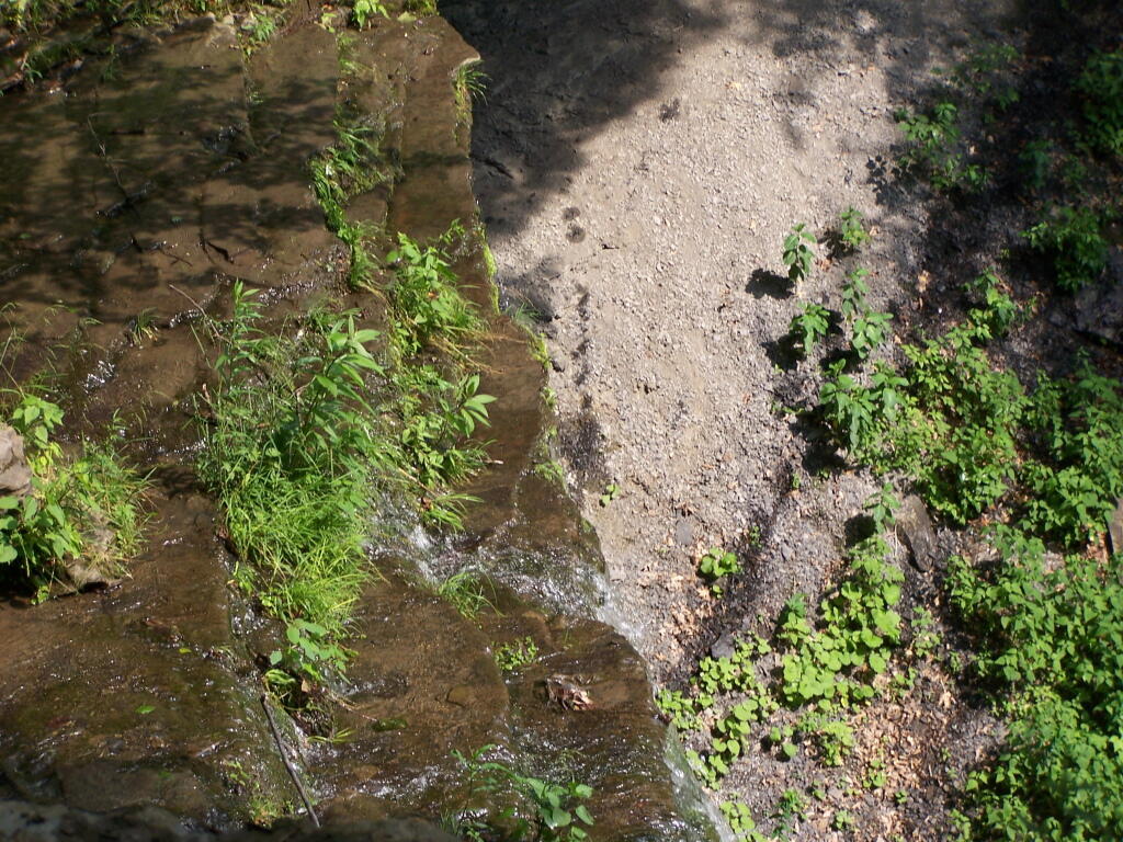
Here is the view from the top of Tinker Falls, accessed from the Finger Lakes Trail or the orange spur to the Finger Lakes Trail.
I then proceeded to hike up to the Hang Gliders launch spot by the Orange Blaze Connector trail which hooks up with the Finger Lakes Trail. This is route I took, it’s slightly longer and steeper then the old woods road route.
You can also follow the old woods road, which goes directly up to Hang Gliders spot on Jones Hill.
Part of the Finger Lakes Trail runs along the edge of Jones Hill, although there aren’t any real views this time of year.
Arriving at Hang Gliders clearing. It was very hazy out, with limited views.
Looking down at Labrador Hollow and towards Labrador Hill.
Farms in Fabius, with very poor views.
I want to come back on a clear fall day. Maybe this fall I will go back out and explore this area again in the future.
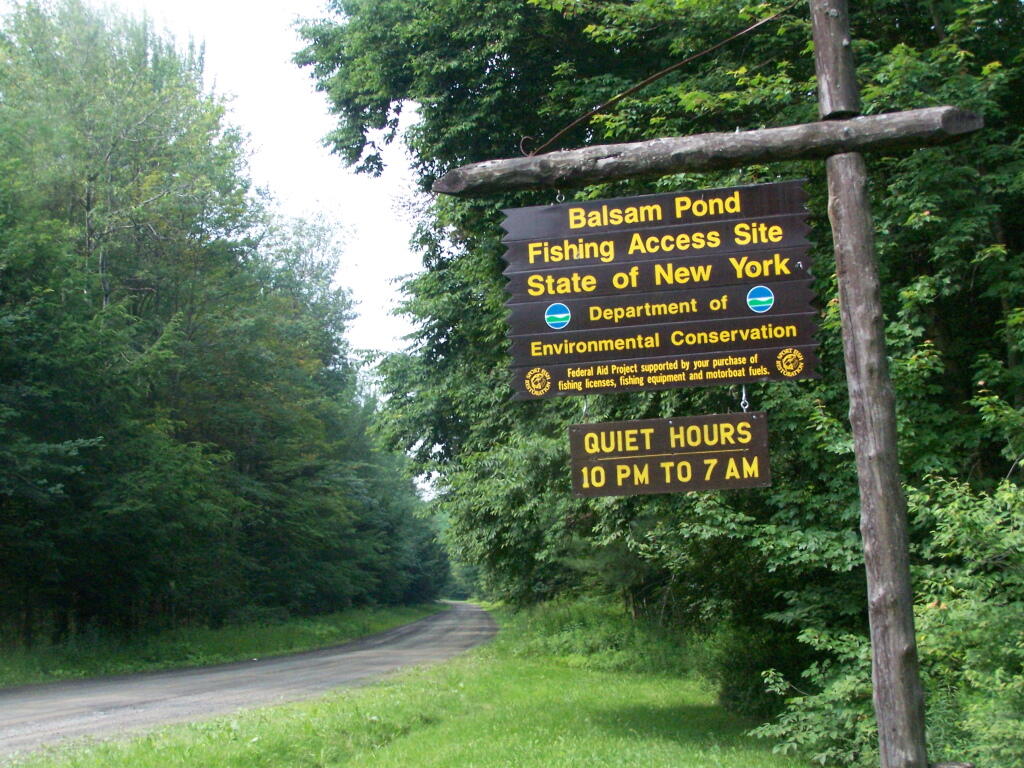
For the first weekend of summer, I decided to go out to Central NY for a weekend. The original plan was to spend one day at Brookfield Camping Area, but it was too crowded, so I decided to head south west to Balsam Pond in Chenango County, outside of Norwich and Pharslia.
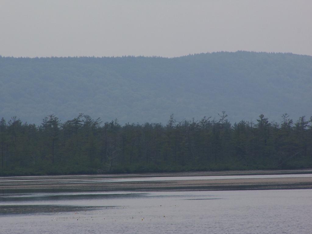
Balsam Pond is a man-made lake, popular for fishing and free camping. They also allow motor boats on the lake, so during the day, you’ll hear boats roaring up and down the lake.
While the weekend was pretty rainy, Balsam Pond turned out to be quite nice, and popular but not full, as was the case last year. This time I choose to set up in Campsite 3.
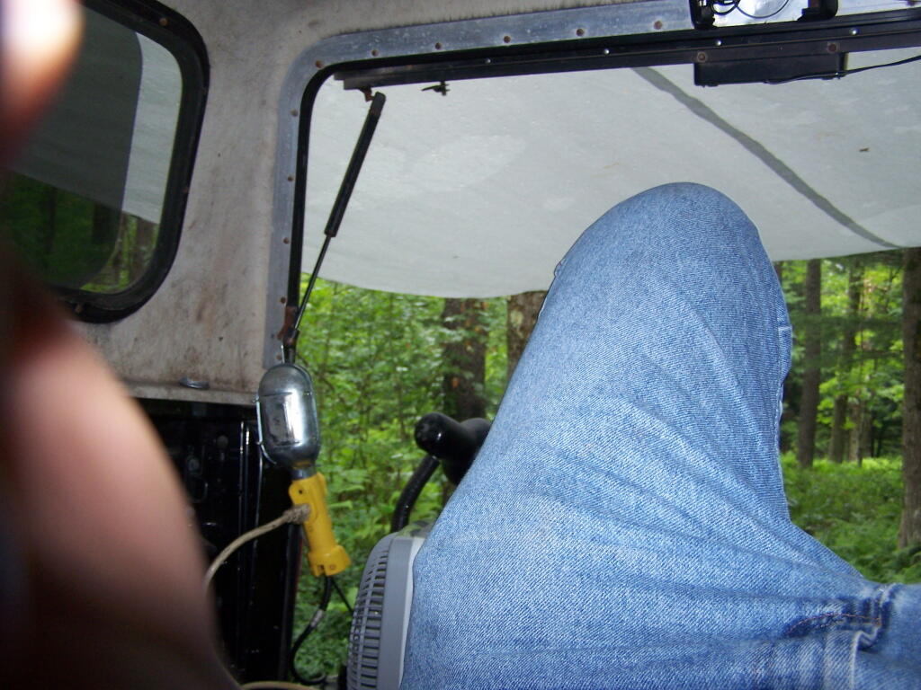
Soon after getting there, it was raining. I quickly got the tarp up, and was hanging out in the back of my pickup, reading a book.
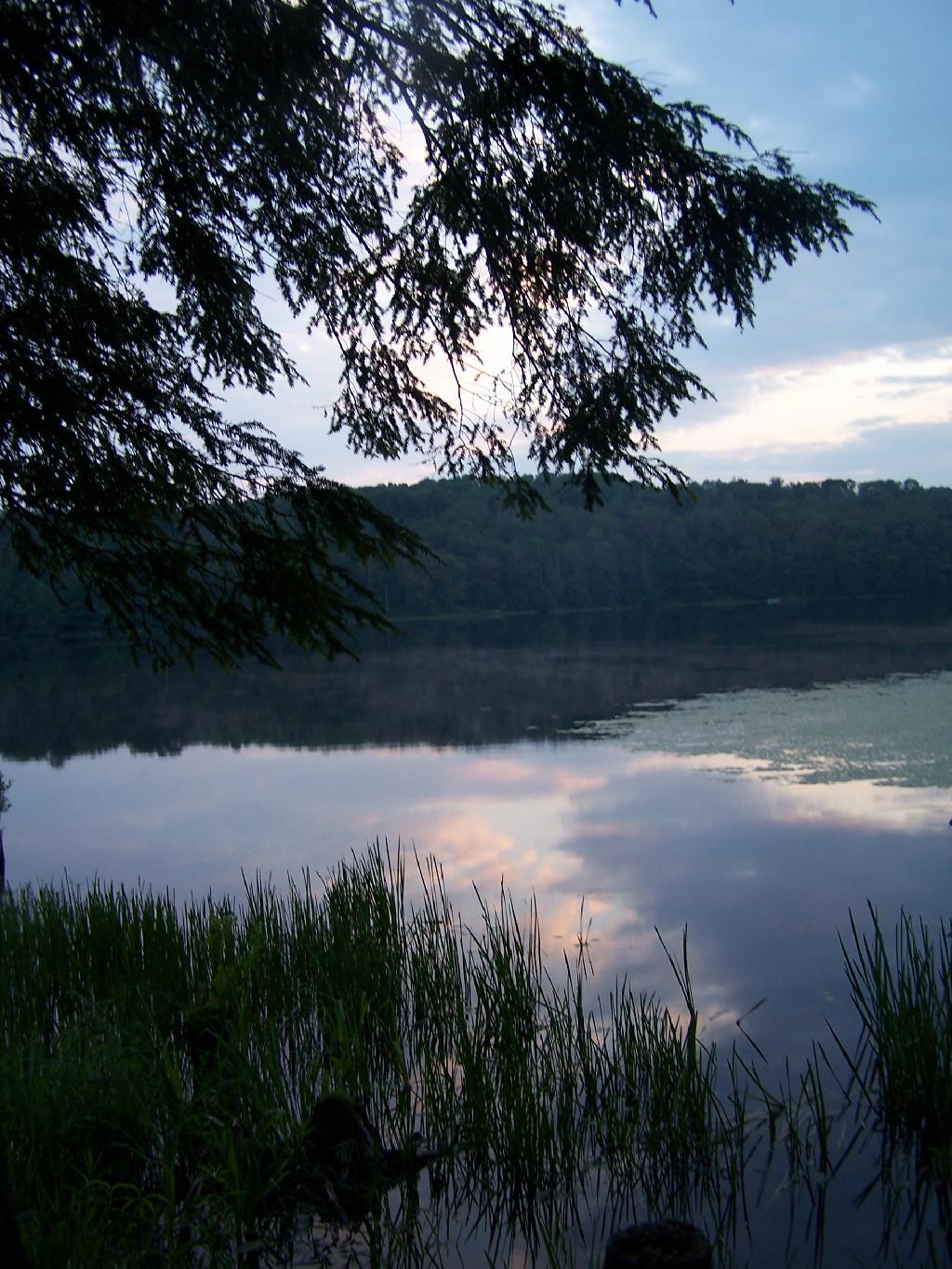
In the evening, the rain stopped, although the clouds remained as I walked down by the lake.
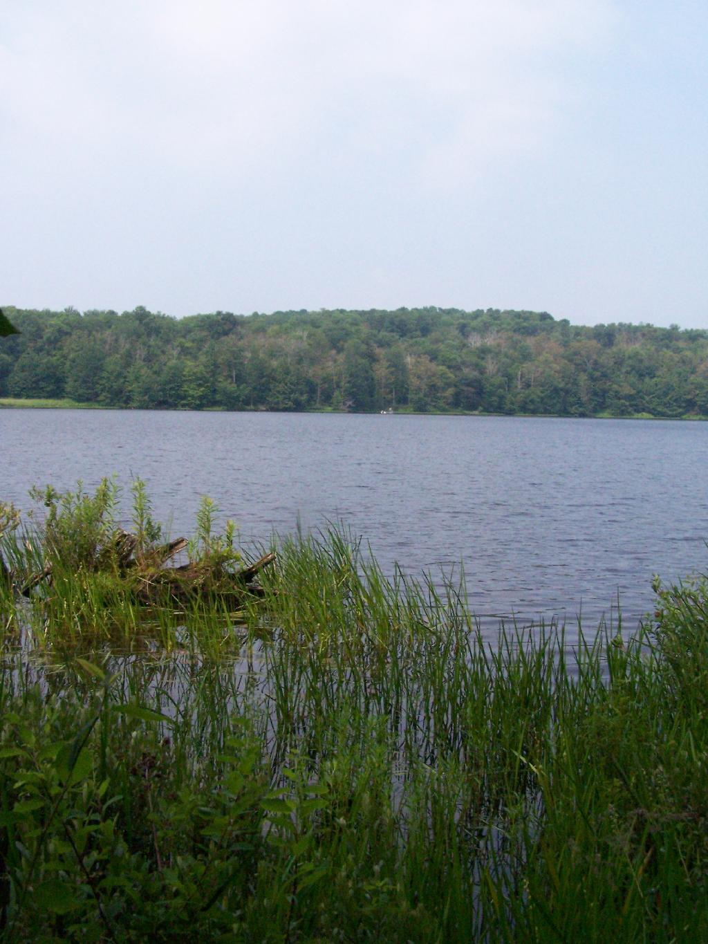
In the morning I got up, and hopped in the lake for a quick dip to get cleaned off. Hazy and cloudy in the morning, but no rain.
I drove up north to Truxton in Cortland County, to check out the ever so beautiful Labarador Hollow, but decided with the rain, not camp up there. There where some roadside campsites there, but no lake to cool off up there, so I ended up spending another day at Balsam Pond.
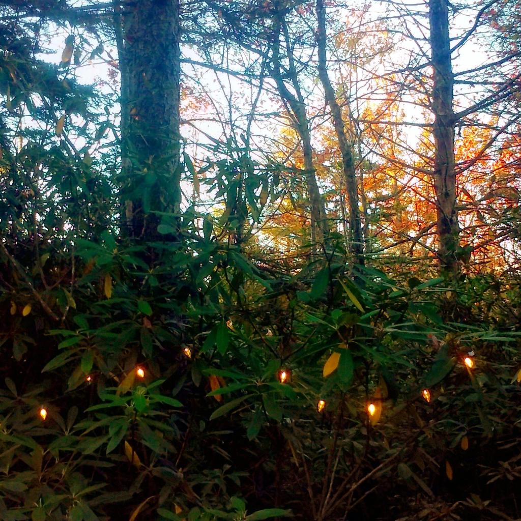
The next evening was nice, with not much rain, but very cloudy, damp and dark. But I got a nice fire going, and it didn’t involve burning too much plastic but mostly wood, under the Christmas lights.
Even by morning of the June 28th, the weather wasn’t perfect but so be it. This time of year, is not known for it’s perfect weather conditions after all.
On the maps of Burnt Rossman, and in the plan for this area, there is a primative campsite. While unmarked there, there are two developed campsites along the pond with stone-built campfire places, and some places where horses have been staked down in the past.
Duck pond which is mostly a swamp, is quite pretty in the evening. The bugs really weren’t that bad.
Cleaning up after dinner in the evening.
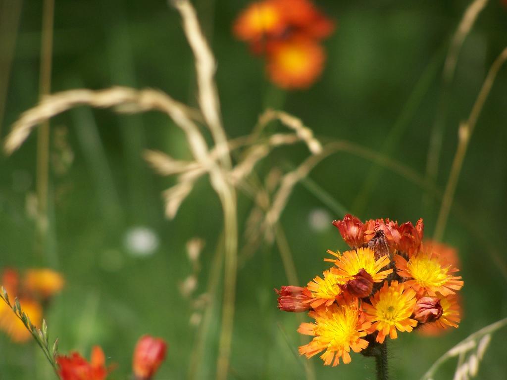
The wildflowers where in full bloom in late June when I was camping out there.
Near the campsite is a monument commemerating Charles Hopkins, the first Forest Ranger who maintained these 13,000 acres of state land.
In the morning, I drove south toward Blenhium on the rather rough part of the Duck Pond Truck Trail, which becomes much rougher after Duck Pond.
While I camped out there all night, I only saw one car in the morning driving by.


![Untitled [Expires August 22 2025]](https://andyarthur.org//data/photo_004682_large.jpg)