outdoors

Joesph Davis State Park

Joesph Davis State Park was one of the series of parks built in Niagara County during the 1950s when the county under went major changes, as the Fort Niagara Military base was turned over to state hands and then turned into the Robert Moses Parkway, and a series of parks. On weekends in the summer, there is a fee to park a car in the picnic area, and hunting is allowed in season.

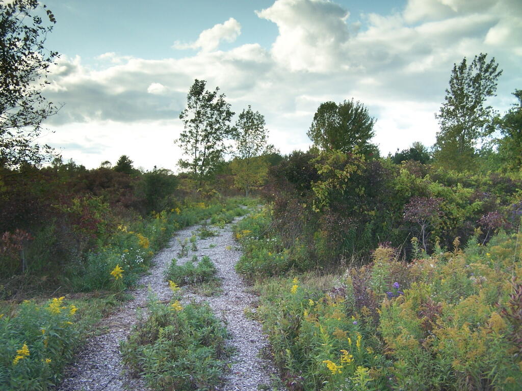
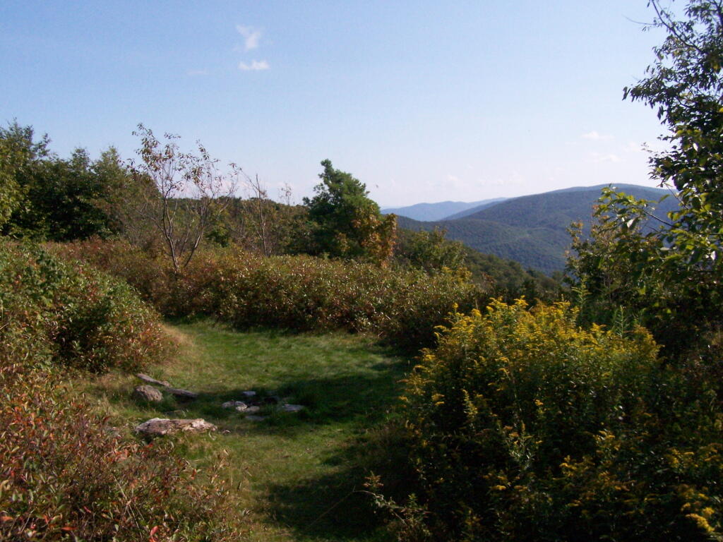
Path

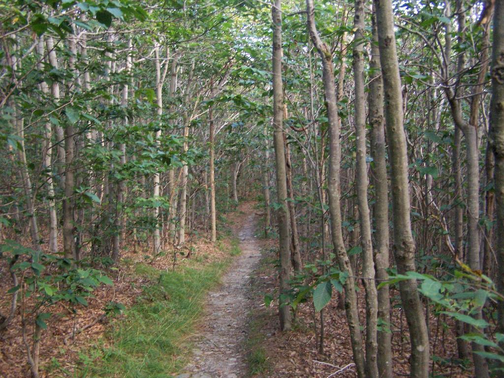
Sadly, most of this area was not well maintained or even well developed. The land is flat, but it is still interesting with a series of small ponds and trails that wind through it.

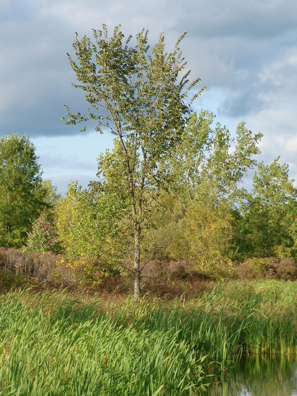
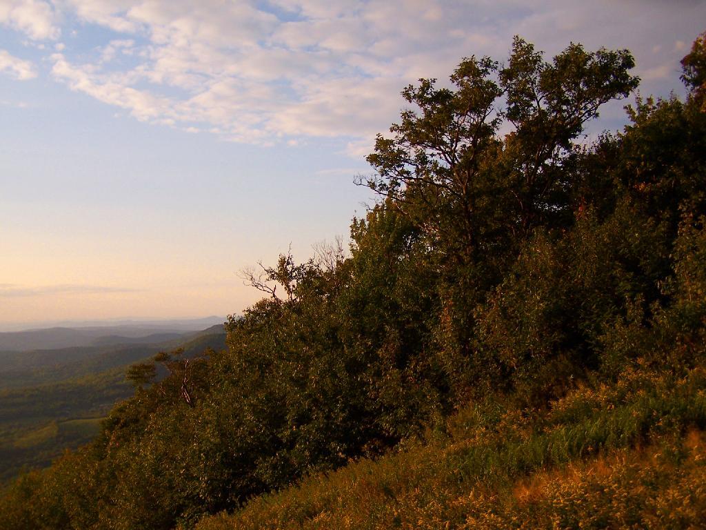
Tree

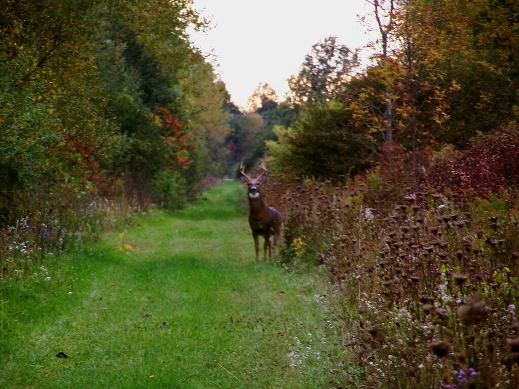
There was all kinds of wildlife through out the area, including this nice looking buck.

Buck

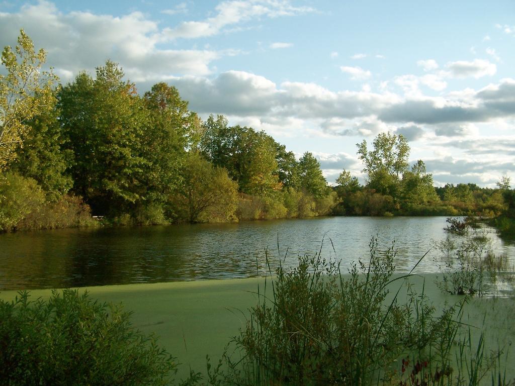
This pond was pretty.

Pond

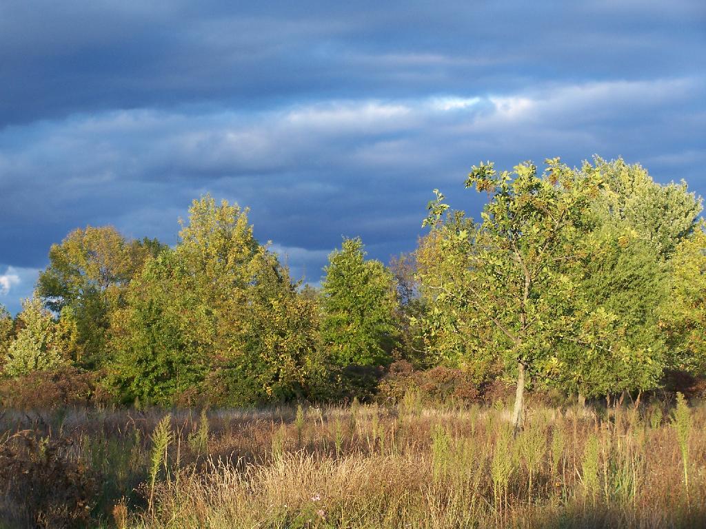
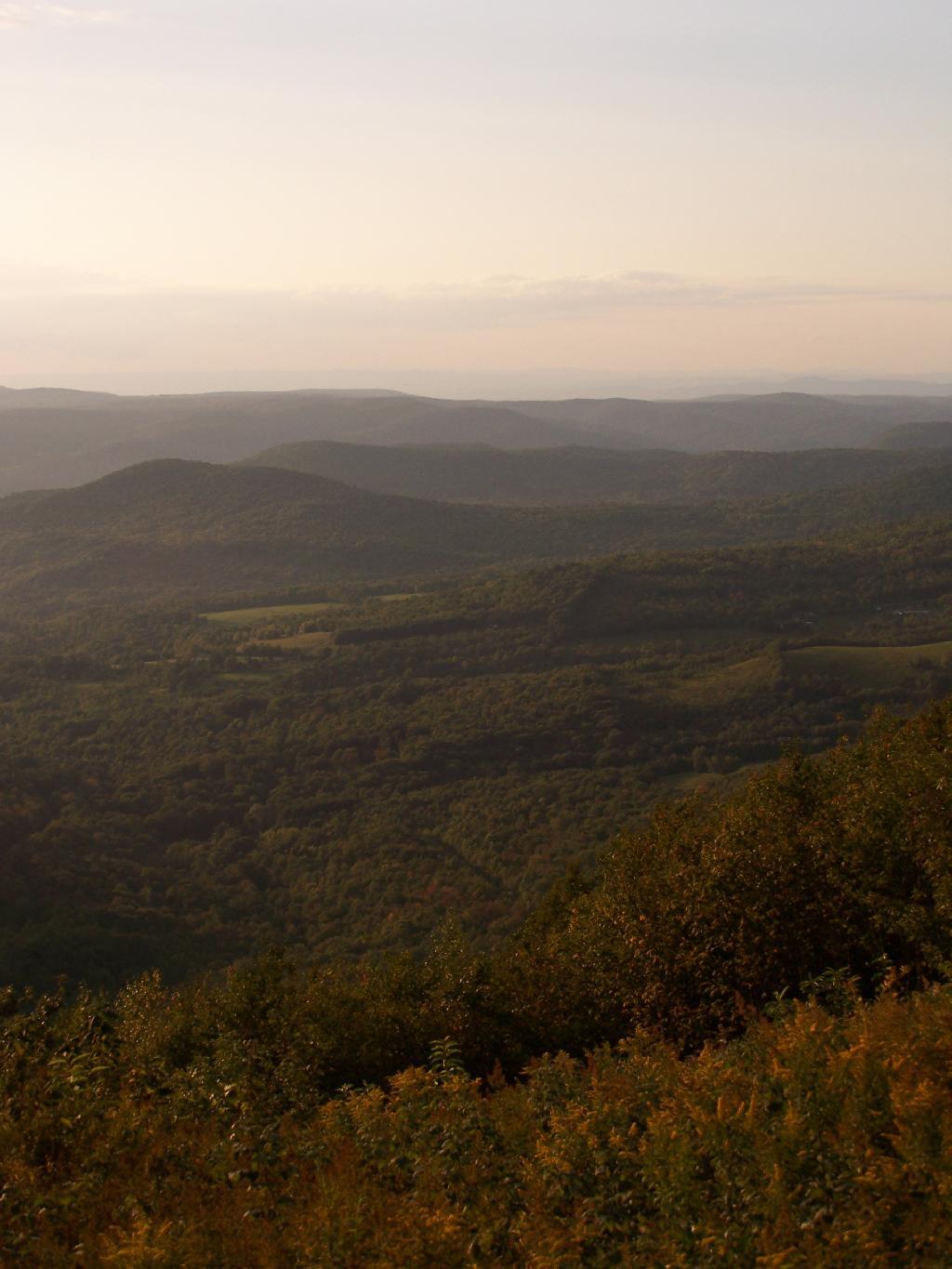
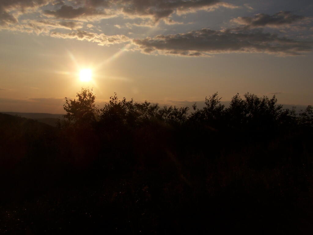
As the evening approached, the sky darkened over the east, but sunrays lit up the foreground.

Dark Sky

Here is a map of the hike.


View Hikes of 2009 in a larger map

Growing Up in the Shadow of Mountains

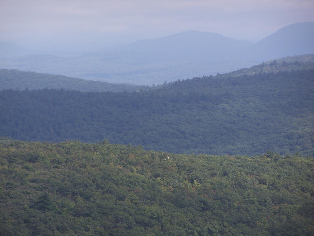
There are relatively few people who can say that they grew up in the shadow of the mountains. The mountains loomed large over the town I grew up, showing their large footprint as the rose out of the land just south of the town where I went to Elementary and High School.

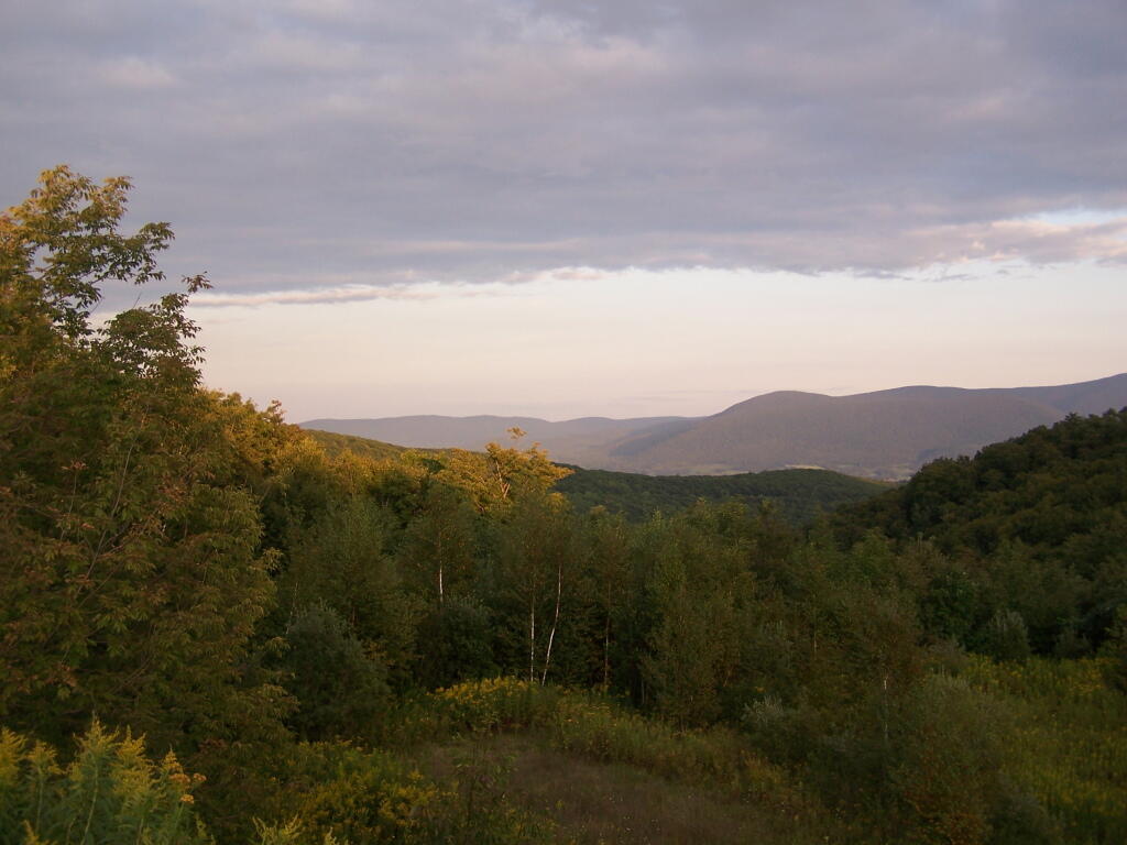
Mountains

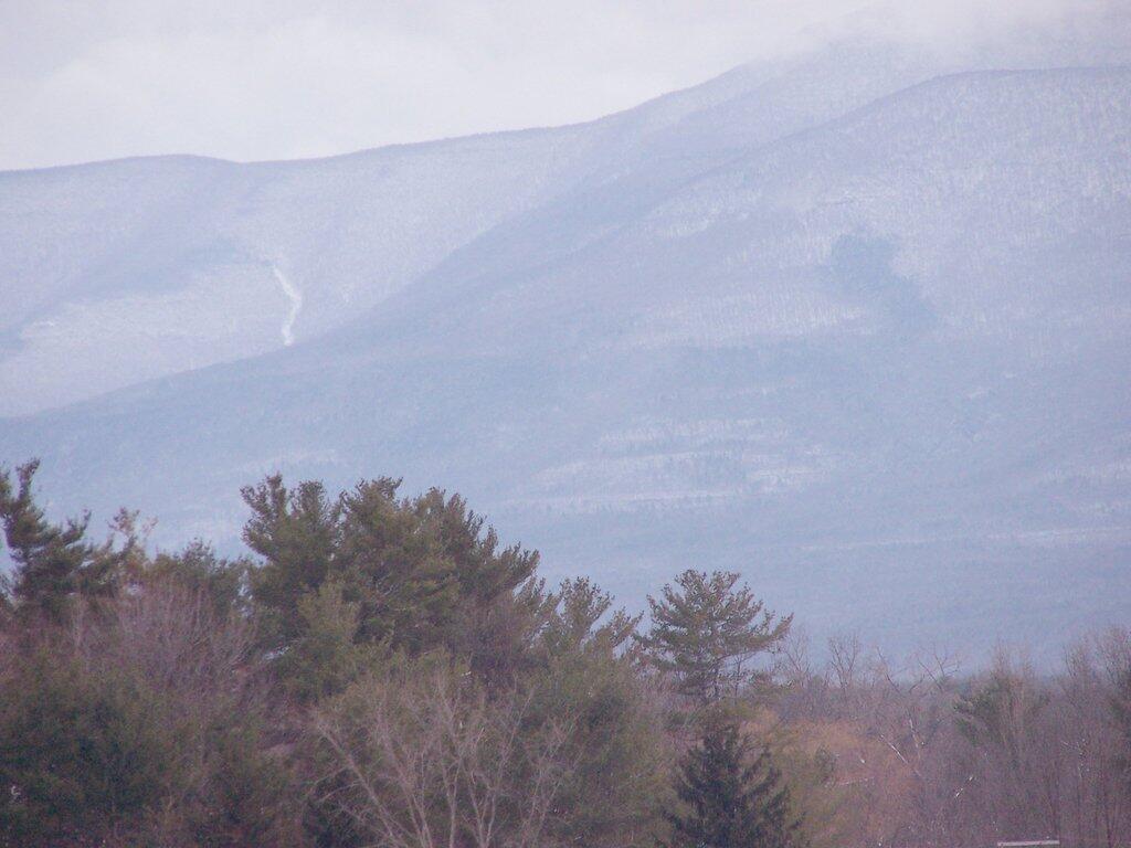
While I lived most of my first 25-years of my life on my parents eight-acres, playing in the woods and in the creek, I went to school in Greenville, which is about 15 miles from the northern-most range of the Catskills. Those mountains loom large over the town as one proceeds south on the two-lane NY Route 32. At times, they look as though they must almost reach up to the sky, as high exists in the world.

They are an impressive feature. A routine feature to anybody who lives out by Greenville and sees them everyday, but still one that leaves a lasting impression on oneself. When I was younger I might have hiked the mountains a few times, but I never spent an extended period up there. I certainly could not have identified every peak from memory or been able to look up and know what it look likes on down. Today I can.

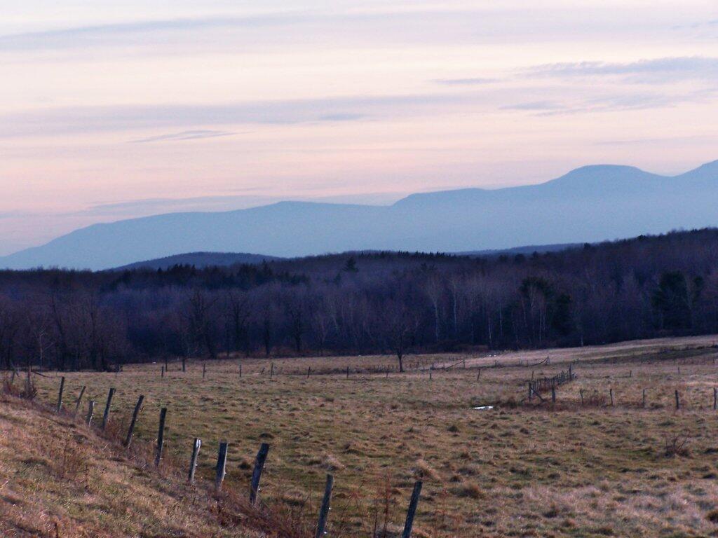
Catskills from Route 2

When I was younger I probably should have asked more questions and respected those mountains more. I should have paid more attention, and spent more time hiking them. Yet I didn’t. Regardless, those mountains, constantly hanging over the Greenville skyline had a persist ant impact on my life.

Harmon Hill

Harmon Hill is a short but steep hike outside of Bennington, VT. You go up some 1,200 feet in a little over 1.7 miles from the parking area deep in the Dunville Hollow just west of Bennington for modest views up north and west of Bennington.

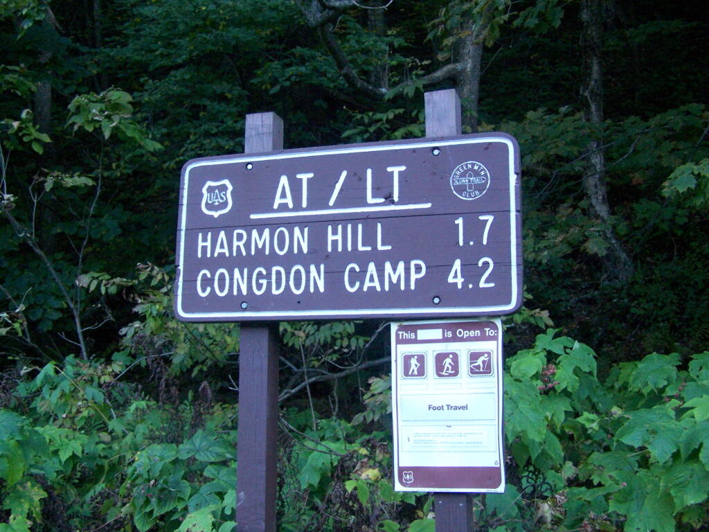
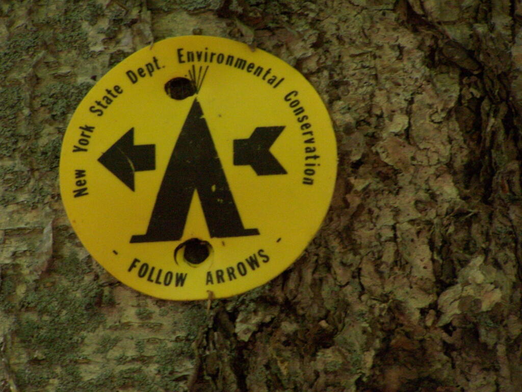
The trail up it is part of the Long Trail, which is duplexed with the Applachian Trail in Vermont. Here is the sign near the parking area.

Harmon Mountain Sign

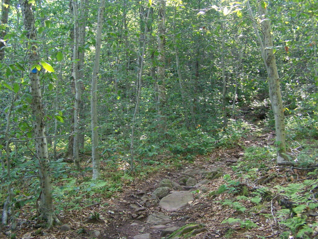
It is a steep 1 mile as you make most of the 1,200 ascent. There are not much views as you climb out of the Dunville Hollow, just a lot of rock-steps and steep switch backs as one climbs up the mountain.

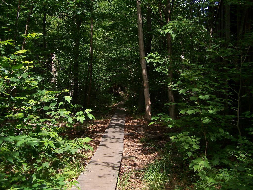
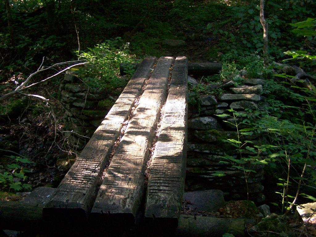
Boardwalk

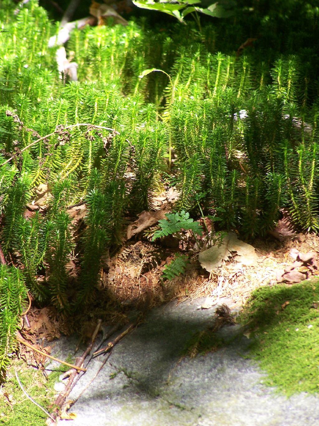
Likens along the trail.

Likens

Once you almost reach the top there are many meadows.

Waterfalls Along Hector Cliffs

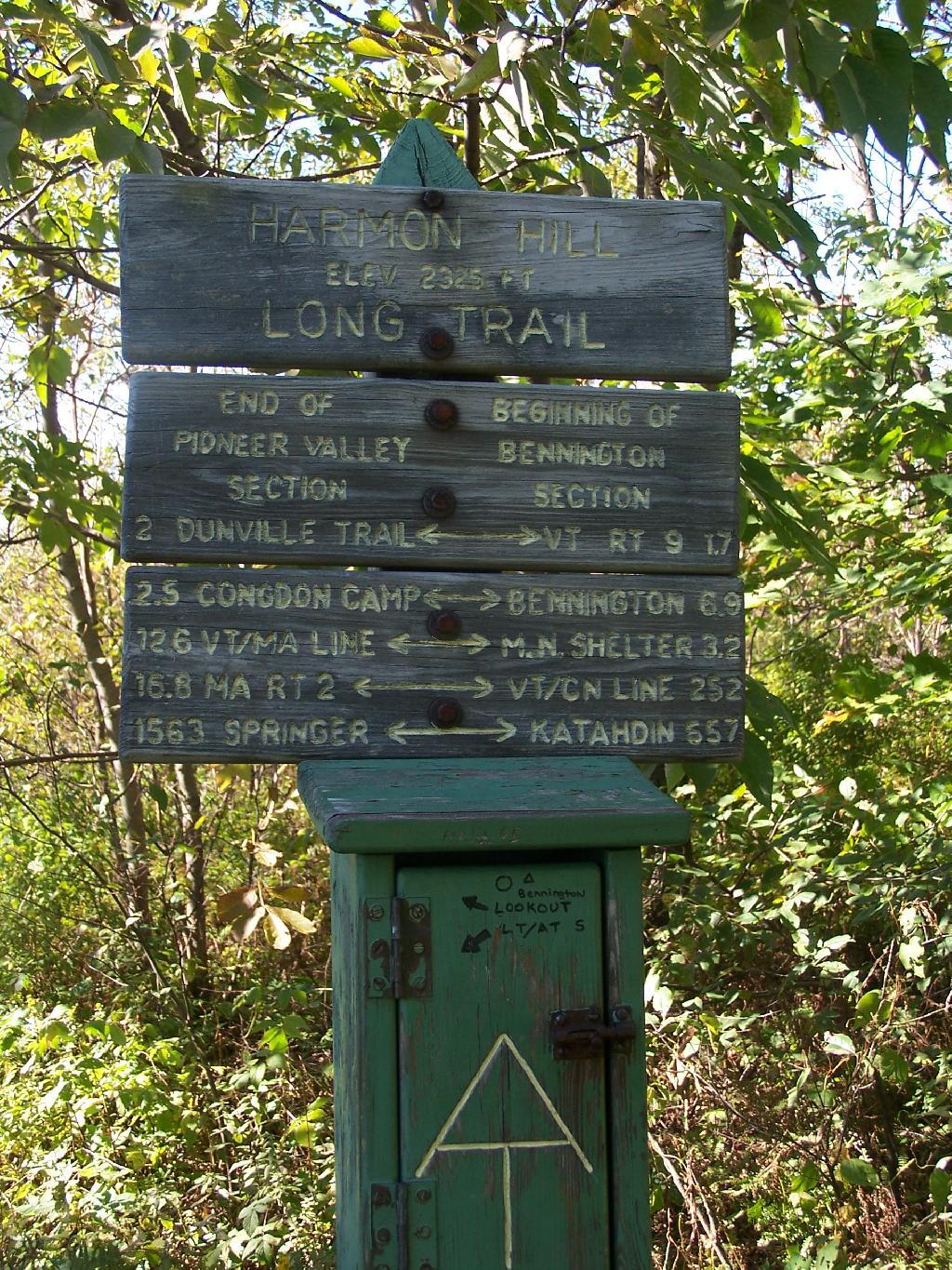
A destination sign tells you that you’ve reached the Pioneer Valley section of the Long Trail and are starting the Bennington section.

Harmon Hill Sign

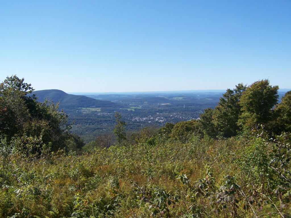
When you come to the top you have an interesting view of Mount Anthony, Bennington, and in the far distance the Champlain Valley and the Adirondacks.

Mt. Anthony and Beyond

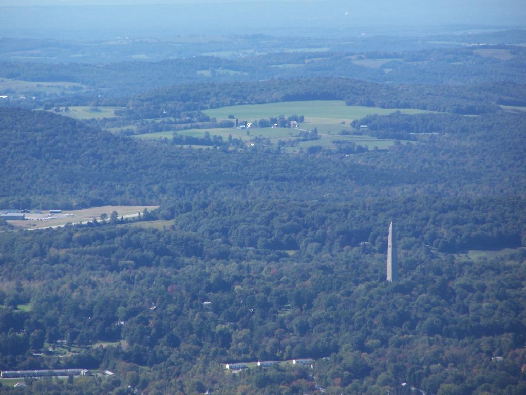
You can see the Bennington Monument and the surround farms near Bennington from the mountain.

Bennington Monument

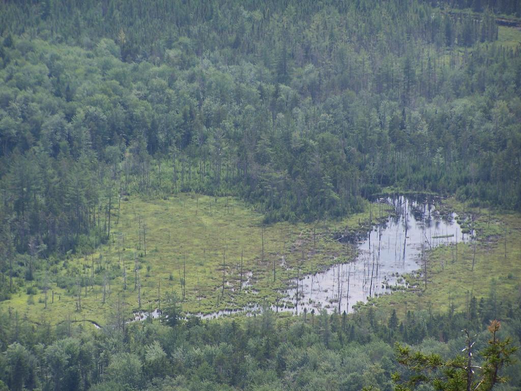
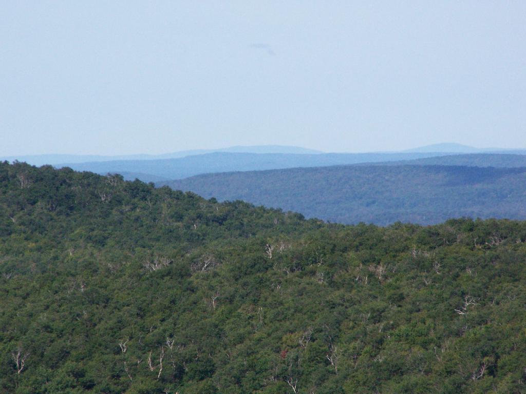
Towards the North, you can see some of the Adirondacks towering over the much lower range of the Green Mountains, including Grass Mountain.

Adirondack Marshland

This is the second peak of Harmon Hill, which is view less. I hiked to Harmon Hill and the viewless points further south on the Long Trail.

Second Peak of Harmon

Here is a map of the hike.


View Hikes of 2009 in a larger map

Alander Mountain

Alander Mountain is the highest point in Columbia County. I chose to access the mountain from Mt Washington State Reservation Park Headquarters in Massachussets. You can also visit there from New York State in several other directions, although the elevation increase is substantial.

While it was clearing when I left Albany around 7 AM, when I got out to Mt Washington State Forest, it was a misty-rain mix. I left my raincoat home, but fortunately it was more damp then heavy rain.
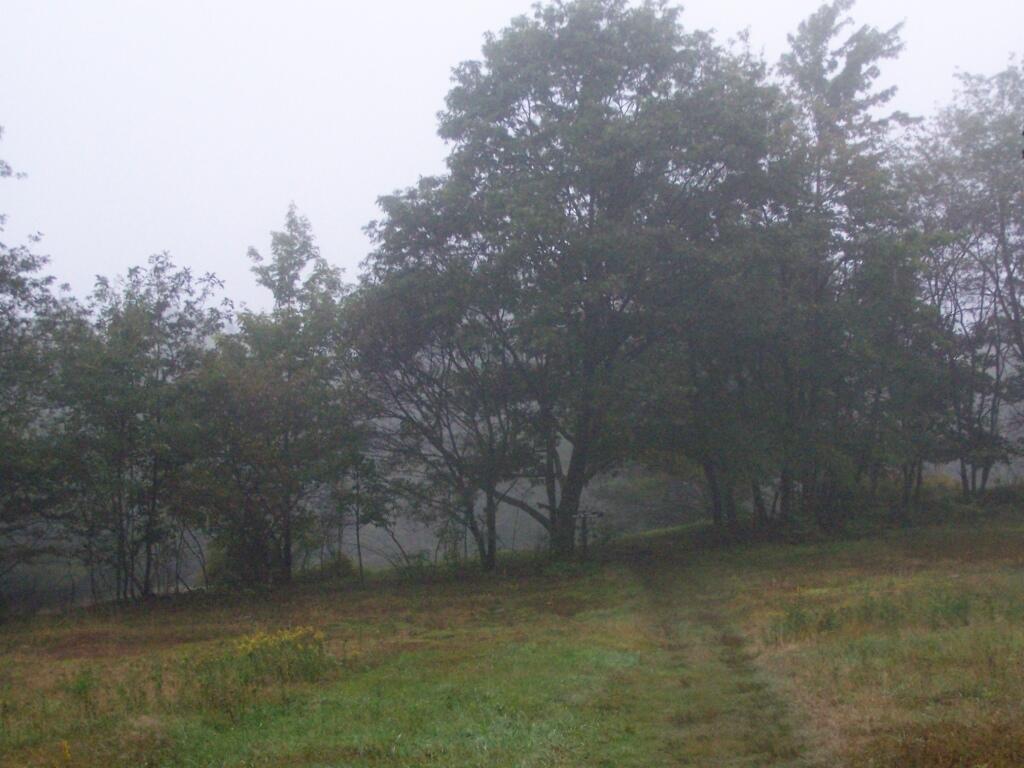
Rain

They do not allow casual primitive camping in the Mt Washington State Forest. That said, 1 1/2 miles up the trail there is two or three sites for primitive camping. Nobody was up there on the rainy days.
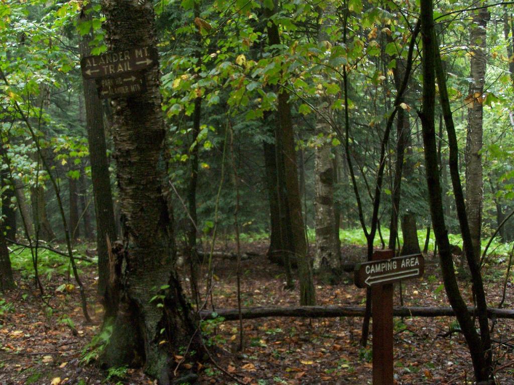
Sign to Camping Area

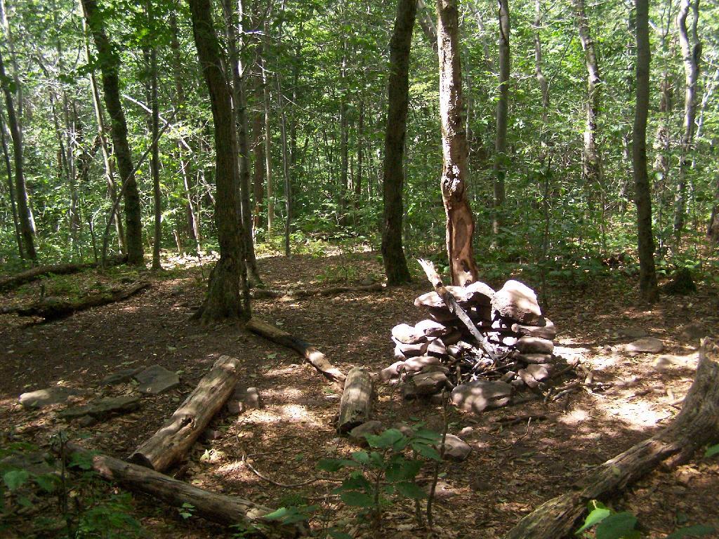
Primative Campsite No 1. Somebody left some cords up along with basic cooking things and water bottle, along with a nicely built up fire pit.
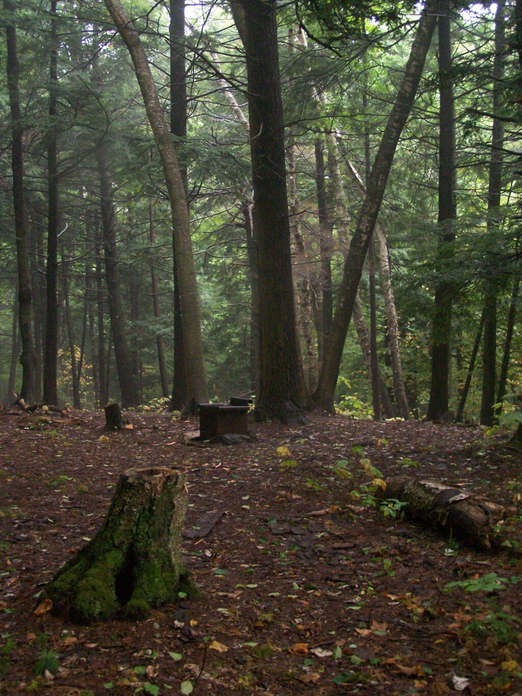
Campsite No. 2

The trail got steeper as I continue up the mountain, and at the same time got clearer and nicer out.
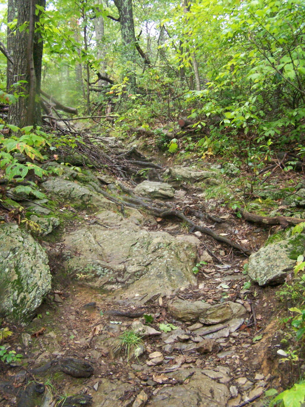
Clearing Out

When you arrive almost to the top of the mountain, there is a beautiful little cabin you can stay in for no charge. It appears to be fairly popular, but with 6 bunks and floor camping space. There was a fair bit of unburnable trash around — particularly liqour bottles, even though technically alcohol is prohibited in the state forest.

Regardless, it looked like a fine place to camp. There is a wood stove in the cabin so you can stay here in the winter. I didn’t look at the wood supply around, but it looks like that shouldn’t be a problem.
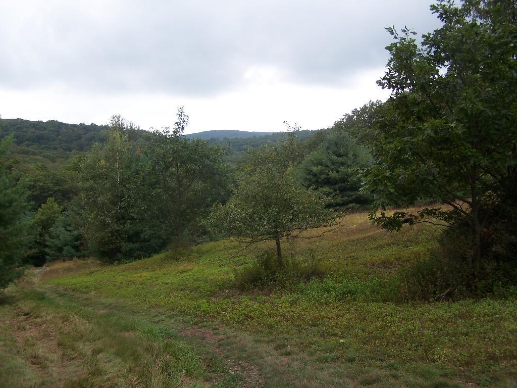
Alander Mountain

While there was no official camping allowed on the mountain, people where certainly camping up there, and there were places where one could get well off the trail, yet camp in an open area with minimum damage to the land.

Once atop the mountain, it was still foggy and damp, but it was clearing out.
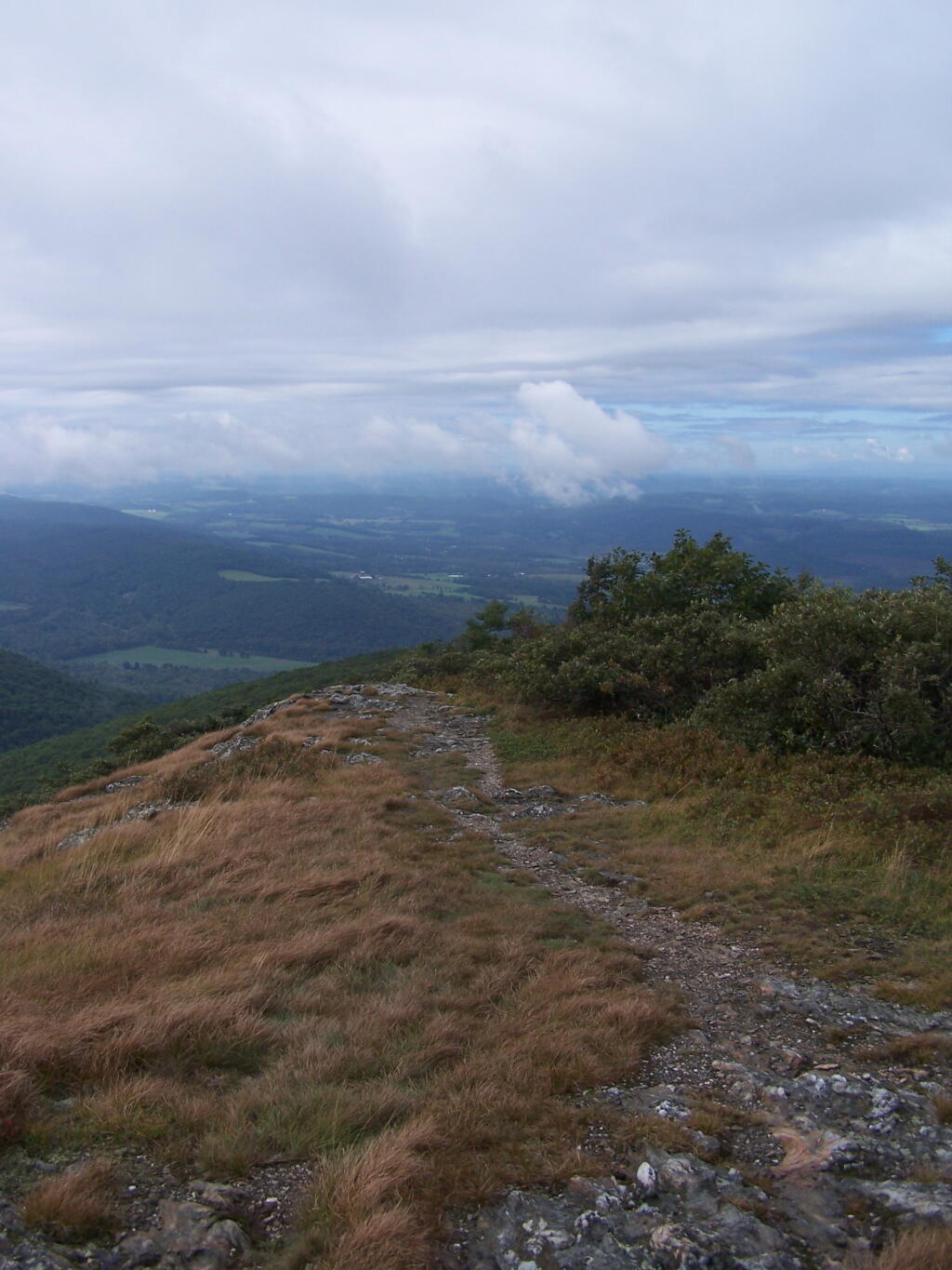
Watching Fog Burn Off

Mountains Fade Into Fog

As the morning progressed, the sky got progressively clearer.
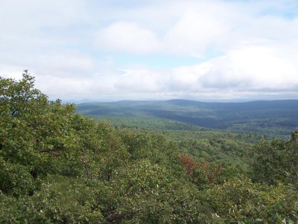
Clearing Clouds

There was a Turkey Vulture flying over the landscape.
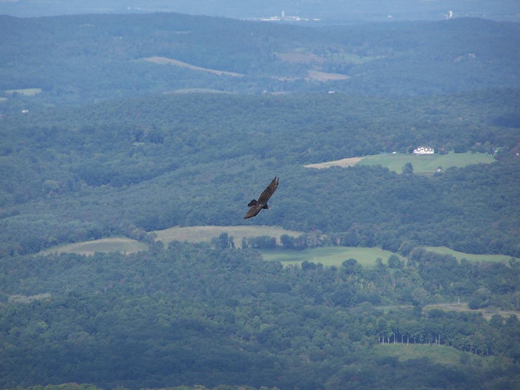
Turkey Vulture

When it cleared out the views where beautiful, but with still quite a bit of haze remaining from the morning. I want to be up here one day in the fall when it is much clearer out. Maybe spend the night at the cabin, and enjoy the sunset and the leaves under the morning light.
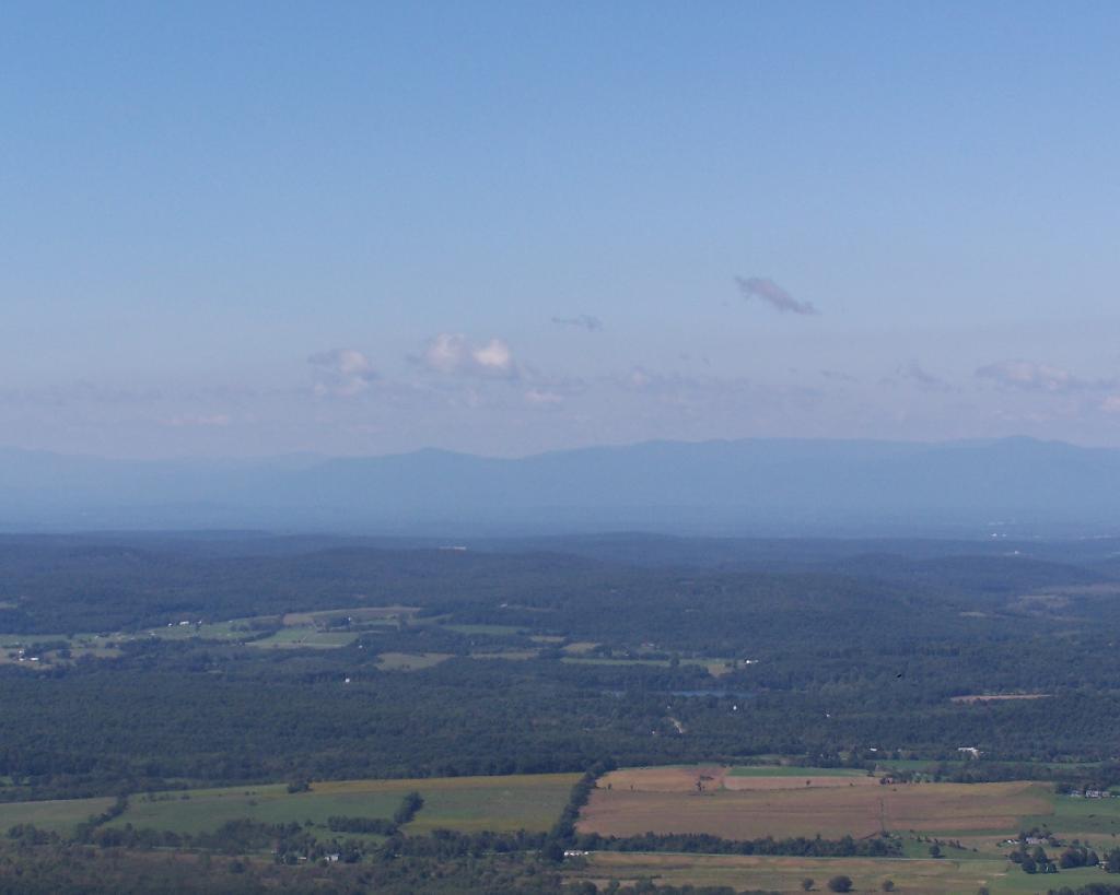
Valley

Brace Mountain and Ashley Hill as seen from Alander Mountain.
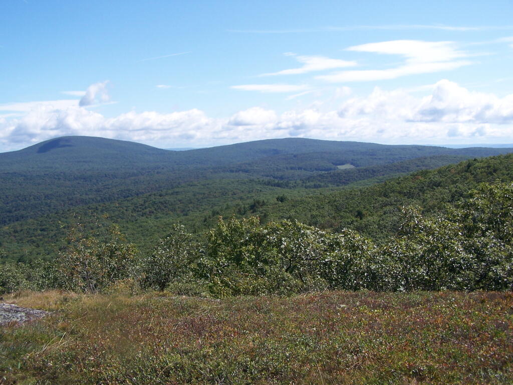
Brace Mountain

Farms and other uses throughout Copake Valley looking down towards Millerton.

Apple Orchards and Swamps. This is similar from the views from Sunset Point that I looked down from during a springtime hike.
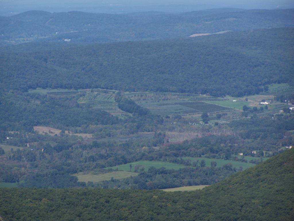
Apple Orchards

Alander Mountain is partially in Massachusetts and partially in New York. The peak is in Massachusetts.
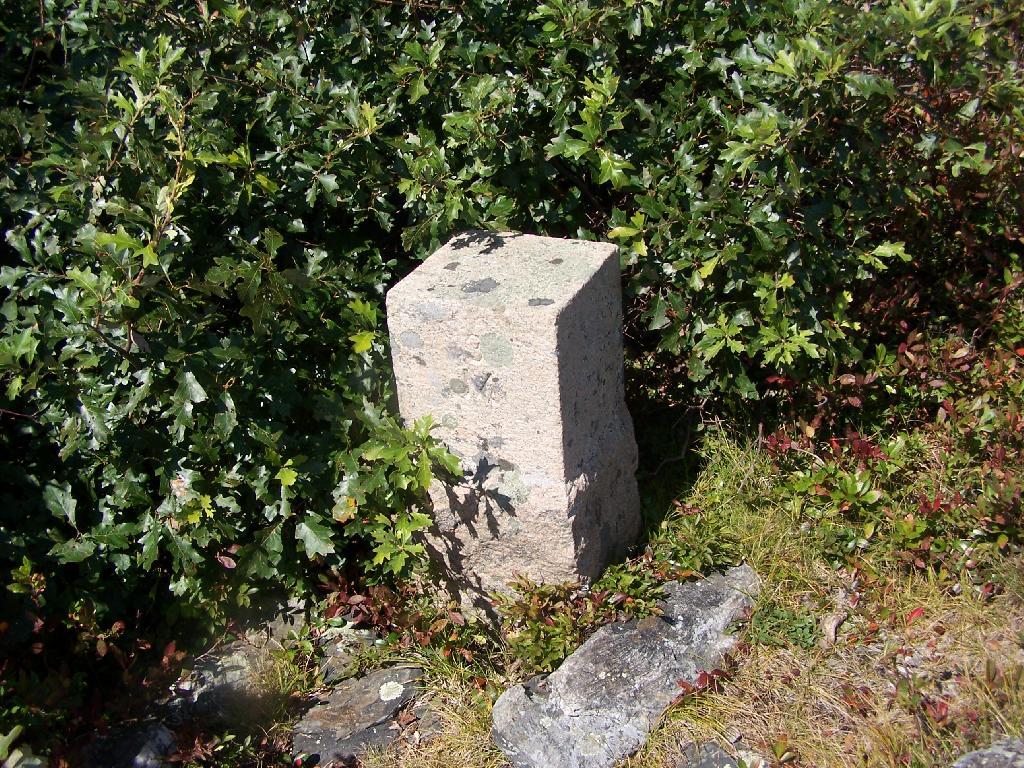
State Line Marker

The lower unamed plateau I hiked along on the South Taconic trail. By 2:30 in the afternoon it started to look like rain once again.
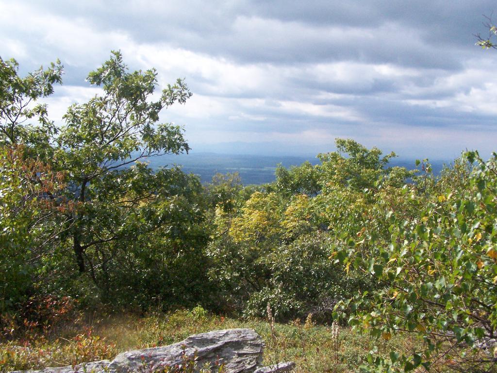
Sure Looks Like Rain

Returning back to the truck, it still looked like rain. You can see Alander Mountain in the background, from the area near the Mt Washington forest headquarters.

Alander Mountain

This is a map of the route.

View Hikes of 2009 in a larger map

White Rock and Snow Bowl

On Saturday evening after doing some political volunteer in the morning, I decided it was simply too nice to spend the afternoon home. It also was Memorial Day weekend, so I decided I wouldn’t be able to get the best campsites at the State Forest in Summit, so I decided to go hiking.
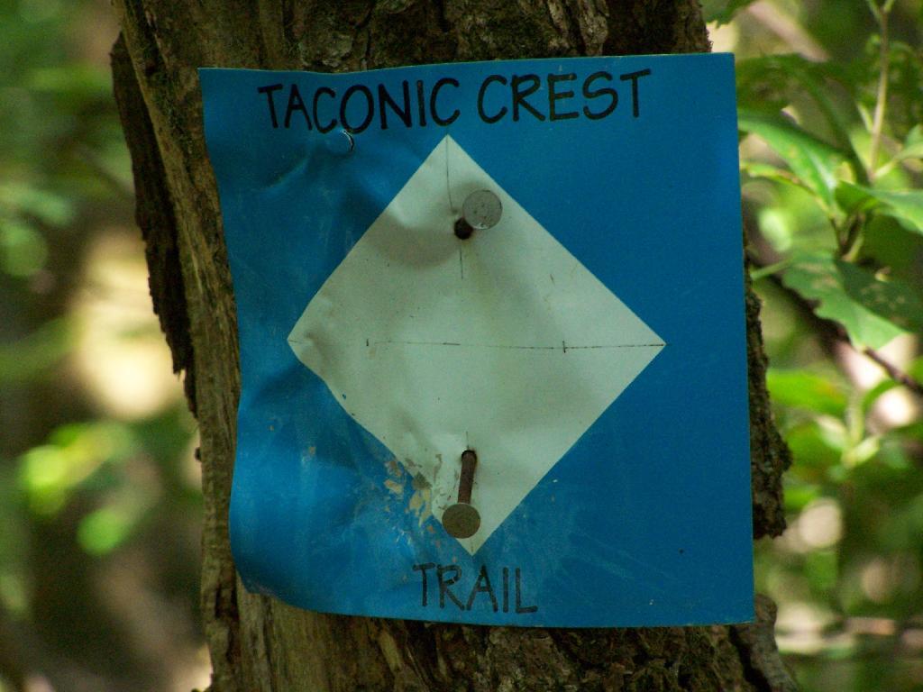
Taconic Crest Trail

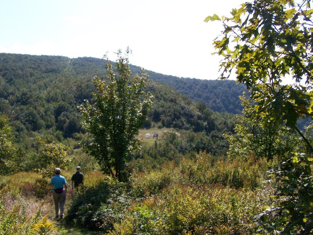
So I chose some place close: the Taconic Crest Trail, north of parking lot at Mountain Raimer on state border of NY-2 & MA-2. It’s quick drive from Albany, and a beautiful place to hike particularly in the evening.

Hikers on the Taconic Crest Trail

The section on the Taconic Trail runs partially on the Hopkins Memorial Forest, a parcel owned by Williamstown College. Camping and hunting is prohibited on this portion, as it’s used for research. Other sections are owned by the DEC or run on DEC easements that allow most conventional uses.

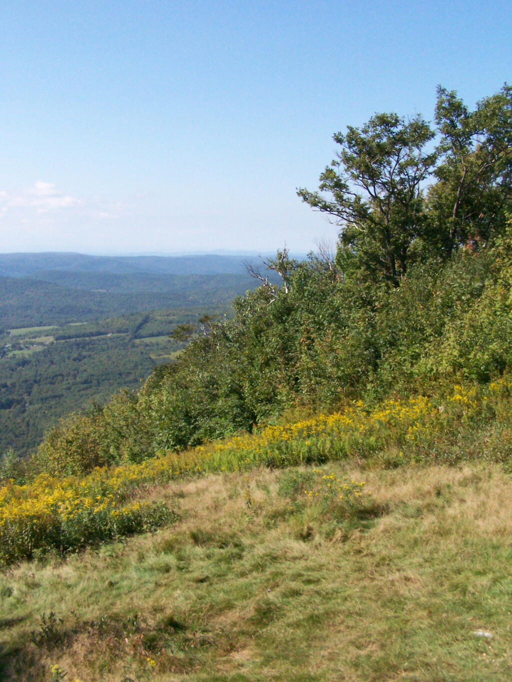
Here is off White Rocks.

Off White Rocks

Several small hobby farms you can see from off White Rocks.

Petersburgh Hills and Mountains

Along the trail, looking south in the mid-afternoon, with Mount Raimer and NY-2 in the background. This looks like somebody has stayed here in the past, although I’m not sure if it’s NYSDEC land, and even if it is, it’s too close to the trail to be fully-legal camping.

Raimer and the Pass

Here is NY-2 winding up the mountain.

Route 2 Climbing the Mountain

Interesting walk through a thick grove of Ash Trees.

Ash Trees Along Trail

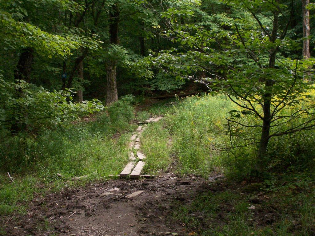
Crossing a muddy area on boards.

Muddy Area

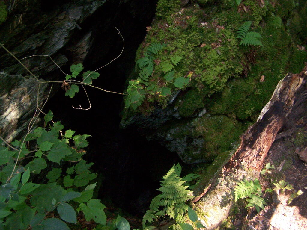
One of the unique features of the area is a place called Snow Bowl, a deep cavern in the woods, between peaks, that is known for holding snow deep into the summer. No snow is left by September, but it, according to the guide book, frequently has snow remaining by mid-summer.

No Snow in Snow Hole

Beyond Snow Bowl I hiked about another mile. Not much in views over hear, but still a nice hike with only limited climbing up and down. I think I crossed into Vermont, but I did not see any signs of markers saying Green Mountain National Forest.

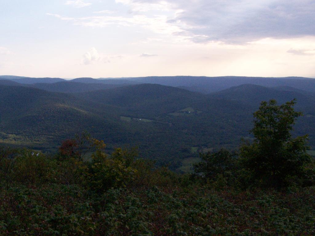
Hiking back the sun was starting to set, and there where clouds making for some impressive vistas.

Petersburgh Hills and Mountains

Back at White Rocks there was some pretty views as the sun was setting.

Looking Out Towards Albany

For a while the sunset took away my breath.

Beauty

As the day came to an end.

Setting Sun

When I got my truck, this was the view of Mount Prospect from the parking area.

Mount Prospect

Here is a map of the hike.


View Hikes of 2009 in a larger map

Cumberland Head State Park

The first night of my vacation it was very hot and sticky out. By the time I had reached Plattsburgh I decided I would just find a campsite at Cumberland Head State Park. I probably could have gone to a nicer state park, such as Malcom Reservation or AuSable Point, but I wanted to be close to Plattsburgh and spend a lot of time visiting old haunts in the town and up at Point Au Roche.

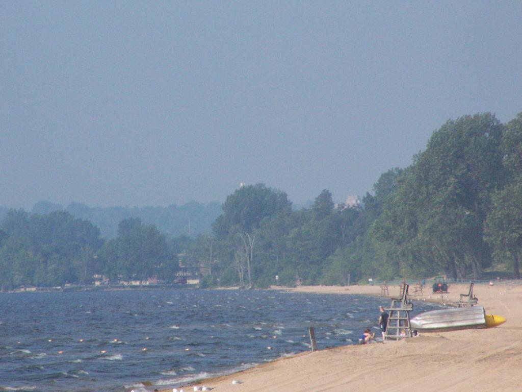
Swimming Beach

Once I got there I dug out my swimming truck, and ran for the swimming beach, as I was hot! Driving up from Albany in all the heat and humidity, I got a terrible sunburn through the windows of my truck. I also don’t have air conditioning, and the humidity was pretty extreme on this Sunday morning.

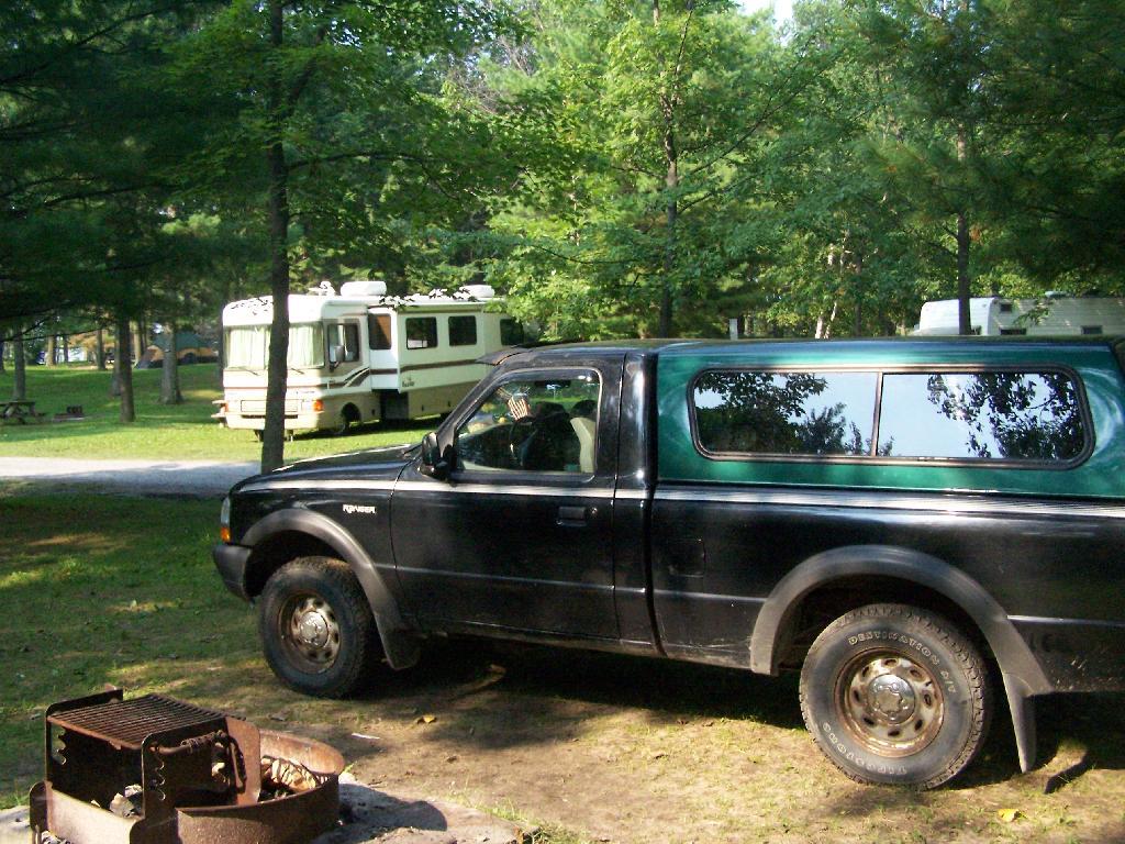
Camping at Cumberland Head State Park

The water was nice. The campsites on Cumberland Head State Park are pretty close together, and are like camping in a giant field with a bunch of other people. I’m not a fan of state campgrounds at any rate, but it beat trying to hike up Pok-O-Moonshine and look out to nothing from the fire tower.

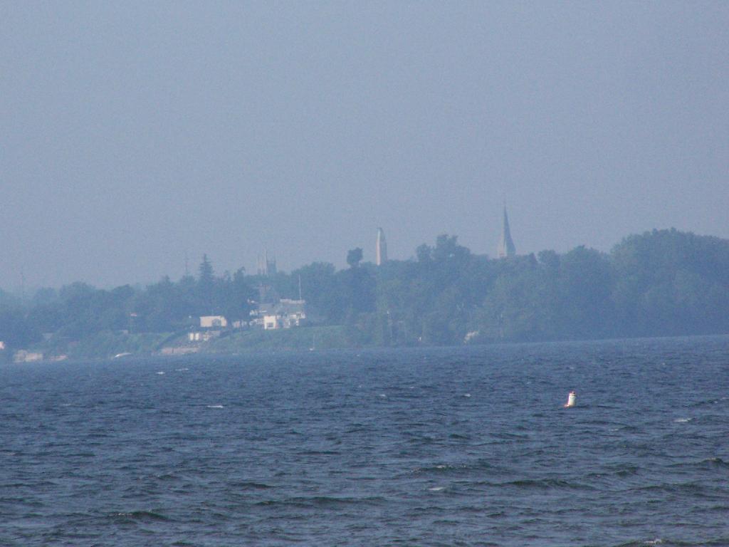
In the Haze

If you want cheap digs near the City of Plattsburgh, then you can’t beat Cumberland Head State Park. It’s only $15 a night, plus a $2.50 service charge for the first night, and is within a mile from downtown. The beach is nice, and when it’s not so damn hazy, the view of the mountains is amazing. That said, I’m not a fan of state parks, especially the “extreme enforcement” of quiet hours, but those showers are nice in such hot weather.

Slide Mountain

I decided it was a nice day out, and I wanted to be able to say I had gone up to the tallest peak in the Catskills, at 4,180 feet. According to Wikipedia, it may actually be somewhat taller then that (as much as 4,200 feet), but they’ve never done a bench mark on the top of it.

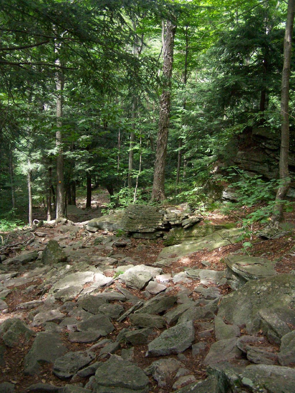
The first part of the trail is fairly steep.

Continuing Downhill

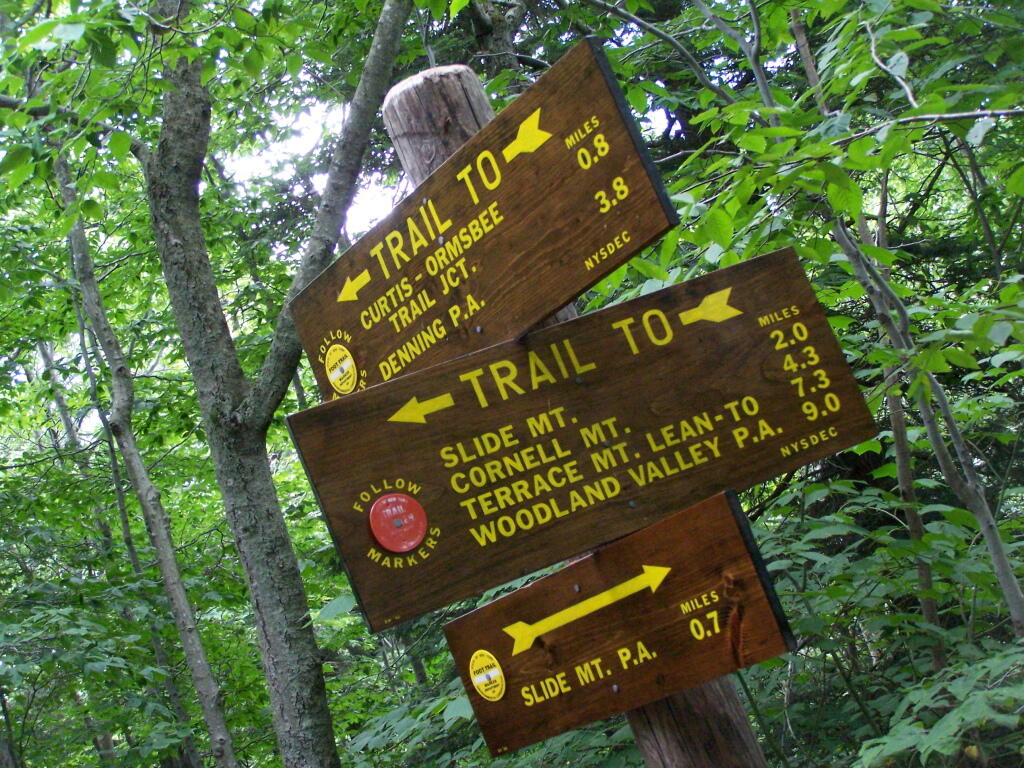
It climbs up to an old woods road, that is an easy walk and relatively flat, as it goes up to the Curtis-Olsbee Trail. You see the split between the old Jeep trail up Slide Mountain, and the the trail to Curstis-Olsmbee.

Slide Mountain Options

The trail crosses a high footbridge, without rails. It once was a full-size bridge for vechicles, but no more.

Foot Bridge

Reaching a historic marker of Curtis-Olmsbee Trail.

Curtis-Olmsbee Winds Uphill Slowly

You climb, and then there are some places with views to South and West as you continue along. A few moderately steep places, but overall the trail is not super-steep.

Views to the South

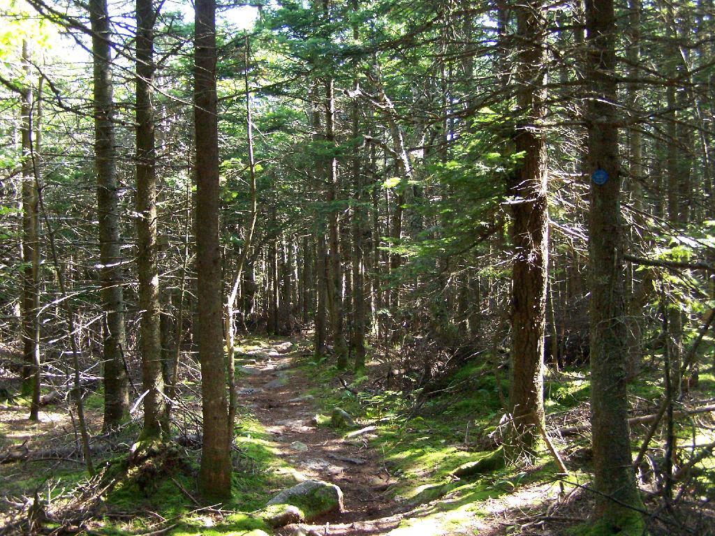
The trail once you reach the first couple of views, remains relatively flat as you wander past several swamps and borreal forests.

Borreal Forest

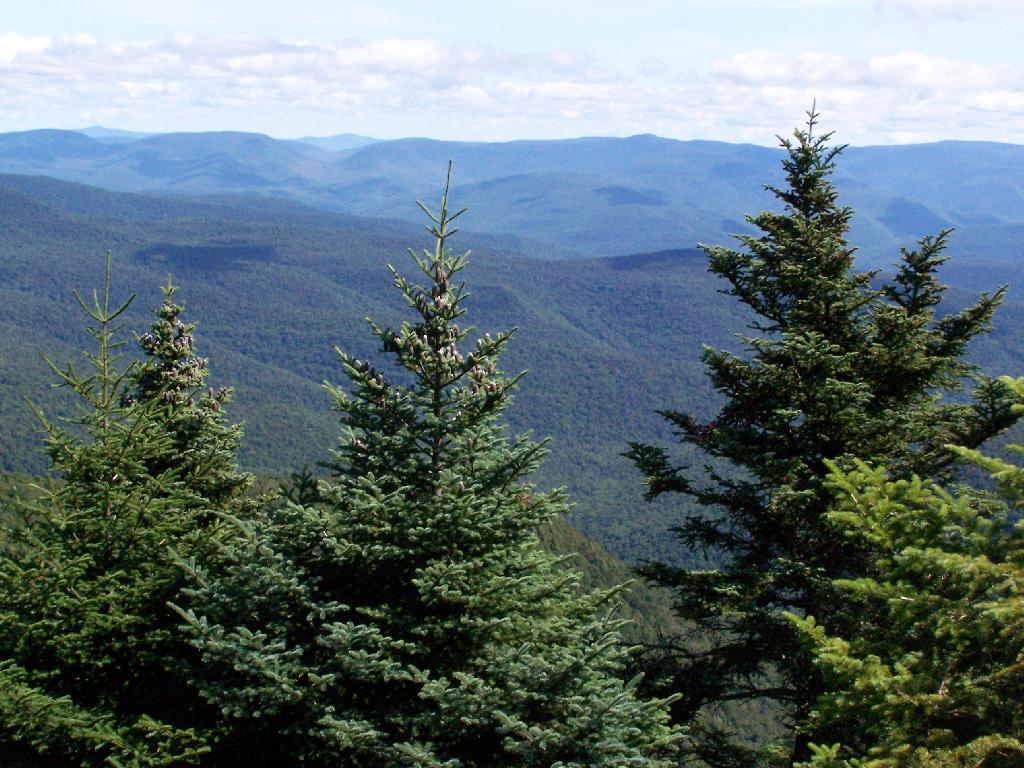
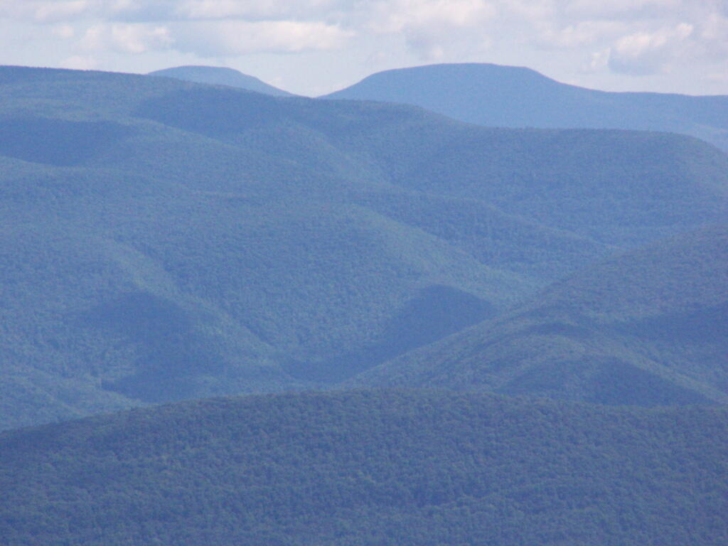
When you reach almost the top there is a point where you can see almost 70 named peaks.

Trees and Mountains

Enjoying the mountains.

Texature

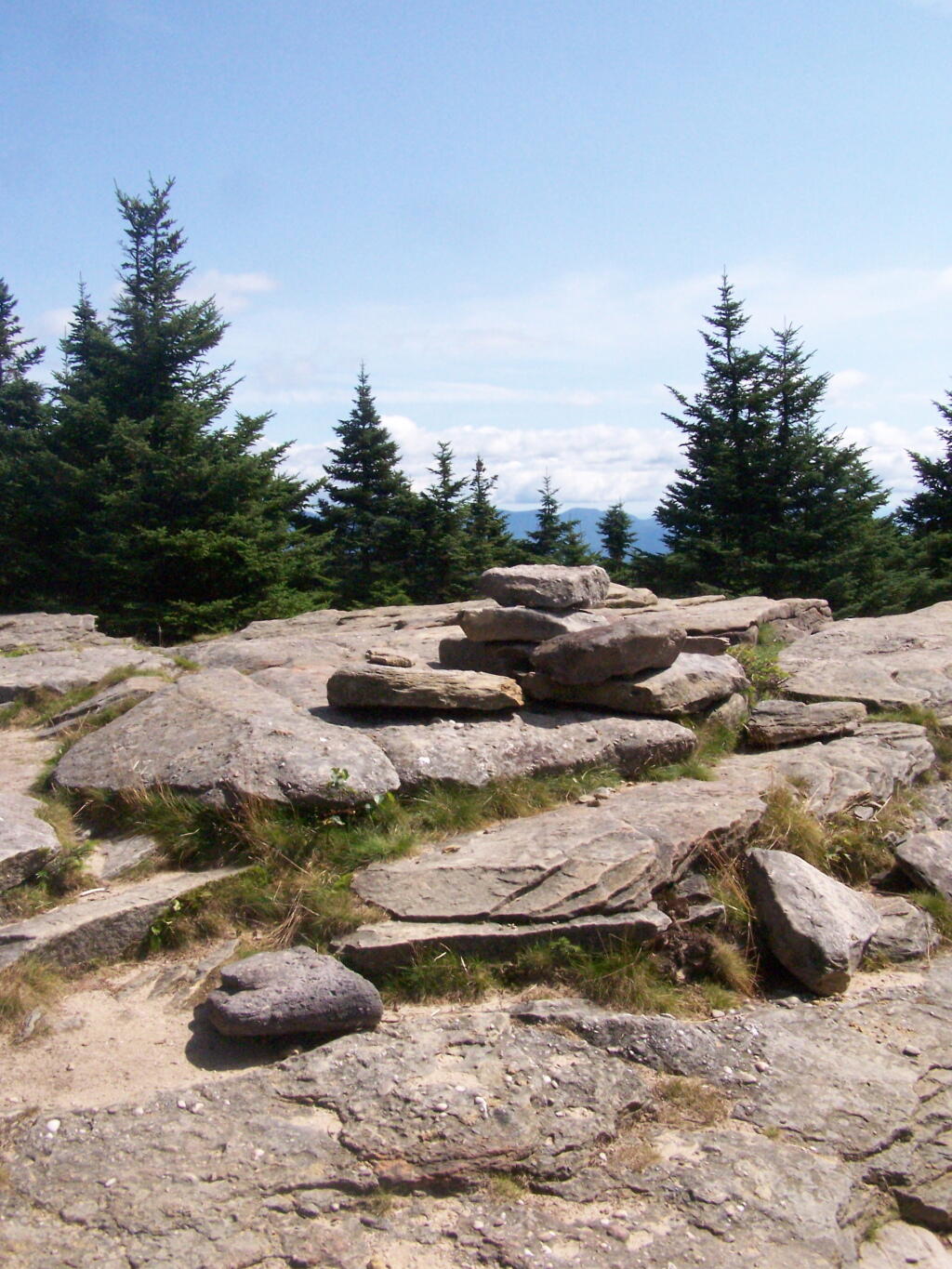
The top of the mountain is John Broughs Point. It has some interesting, partial views to the north and east.

Pinnacle of Slide

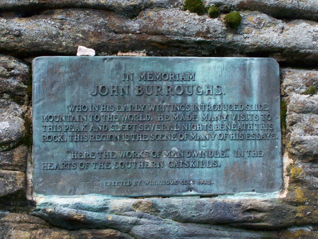
Remembering John Bouroughs

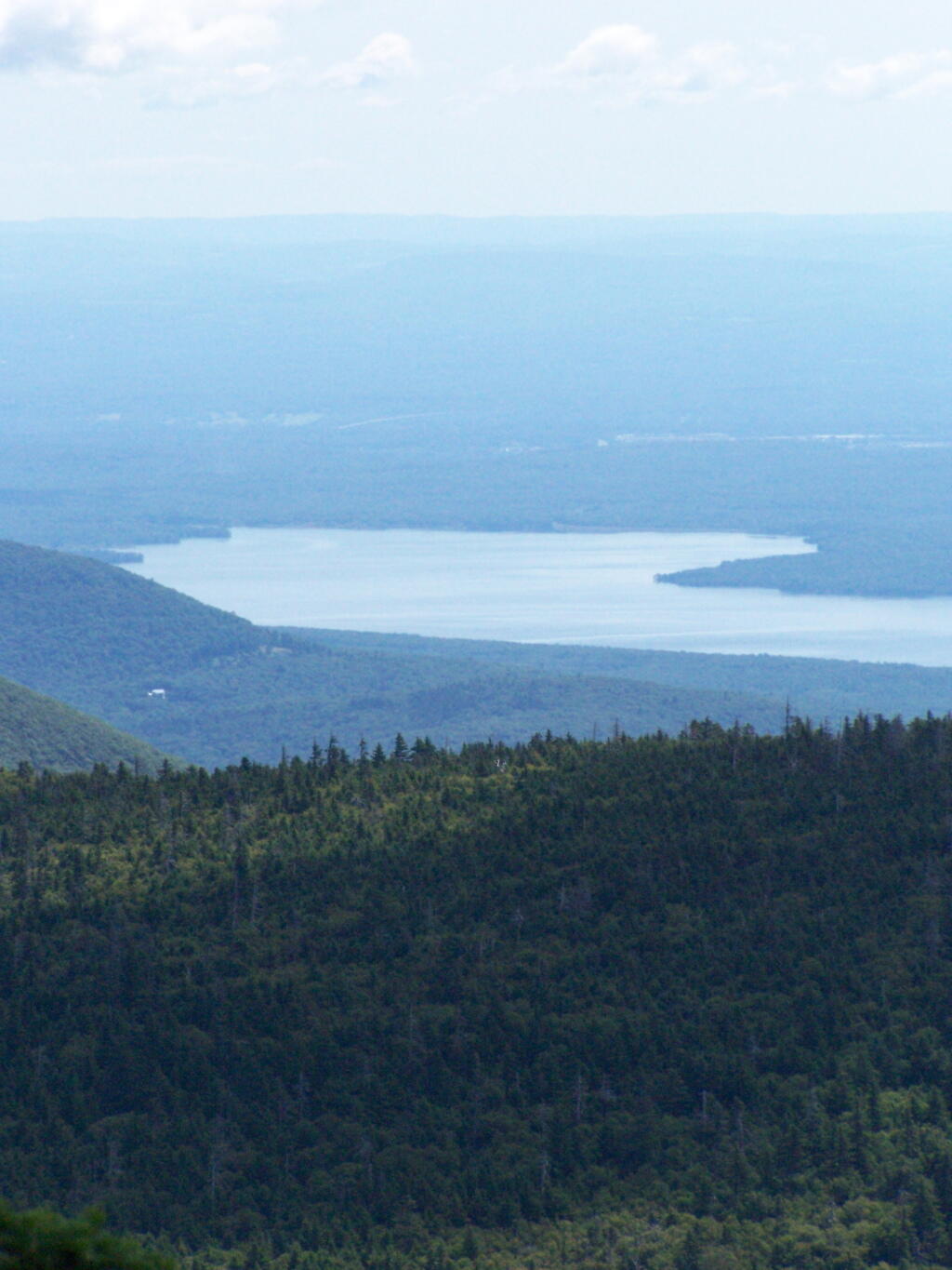
The Ashokan Reservior from Slide Mountain.

Asokahan Reservoir

An established, primative campsite about 3/4 the way down the mountain or one mile from the Slide Mountain Parking Area.

Camp Over This Way

Campsite

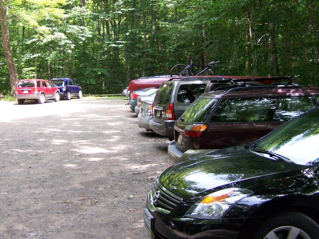
By the time I left, the parking lot was packed.

Packed Parking Lot at Noontime

Here is a map of the route I took.


View Hikes of 2009 in a larger map