Alander Mountain is the highest point in Columbia County. I chose to access the mountain from Mt Washington State Reservation Park Headquarters in Massachussets. You can also visit there from New York State in several other directions, although the elevation increase is substantial.
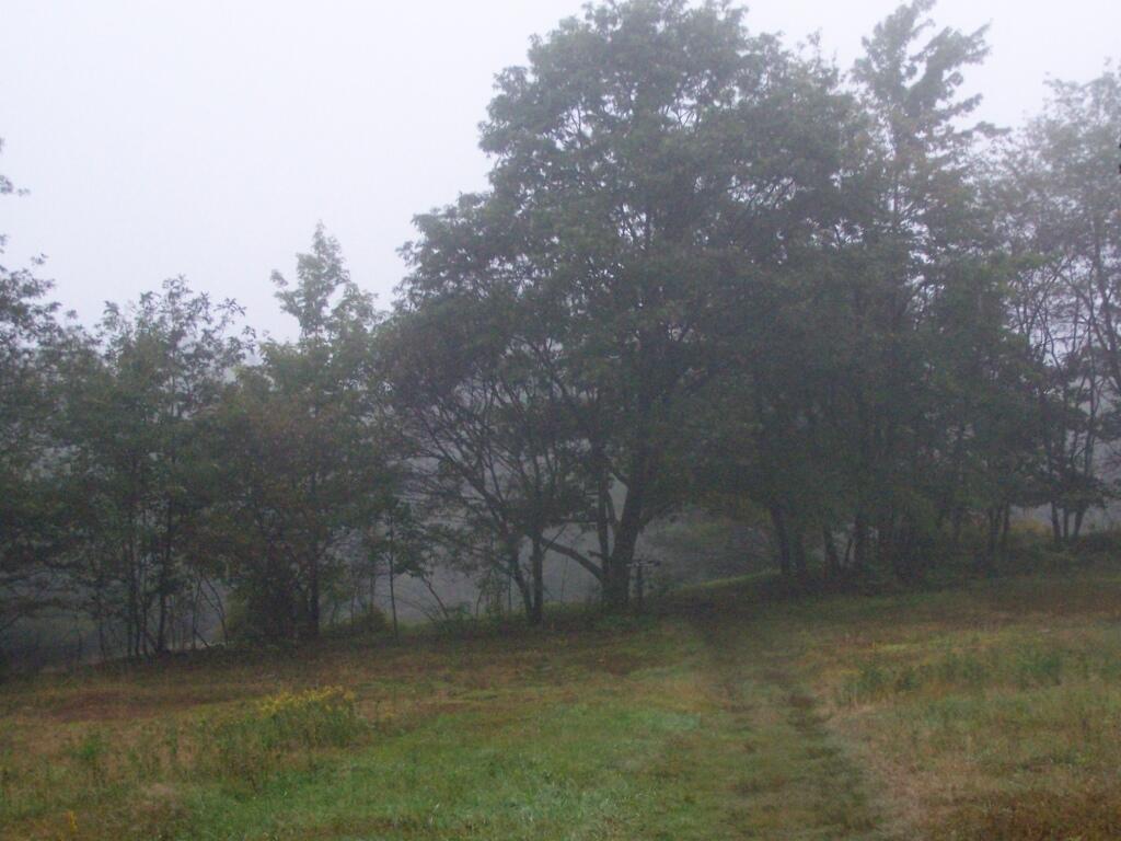
While it was clearing when I left Albany around 7 AM, when I got out to Mt Washington State Forest, it was a misty-rain mix. I left my raincoat home, but fortunately it was more damp then heavy rain.
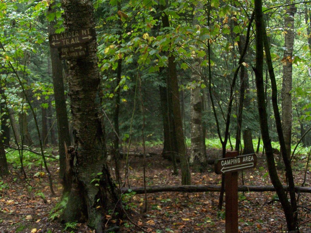
They do not allow casual primitive camping in the Mt Washington State Forest. That said, 1 1/2 miles up the trail there is two or three sites for primitive camping. Nobody was up there on the rainy days.
Primative Campsite No 1. Somebody left some cords up along with basic cooking things and water bottle, along with a nicely built up fire pit.
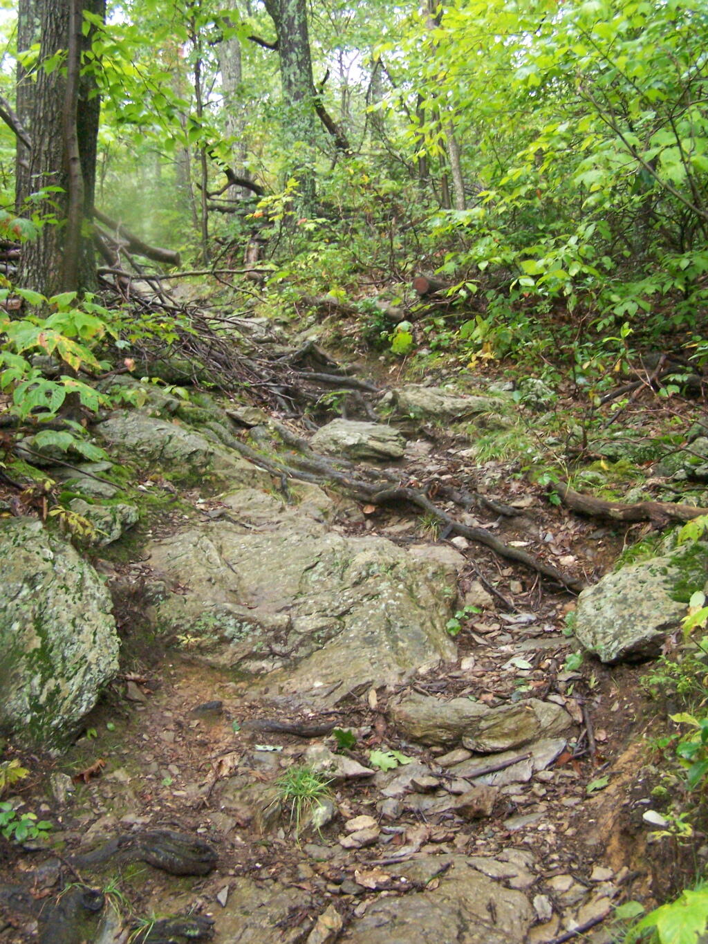
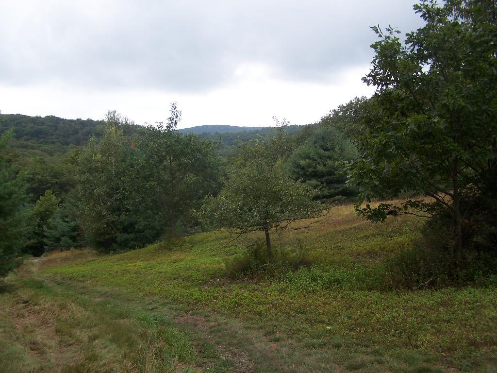
The trail got steeper as I continue up the mountain, and at the same time got clearer and nicer out.
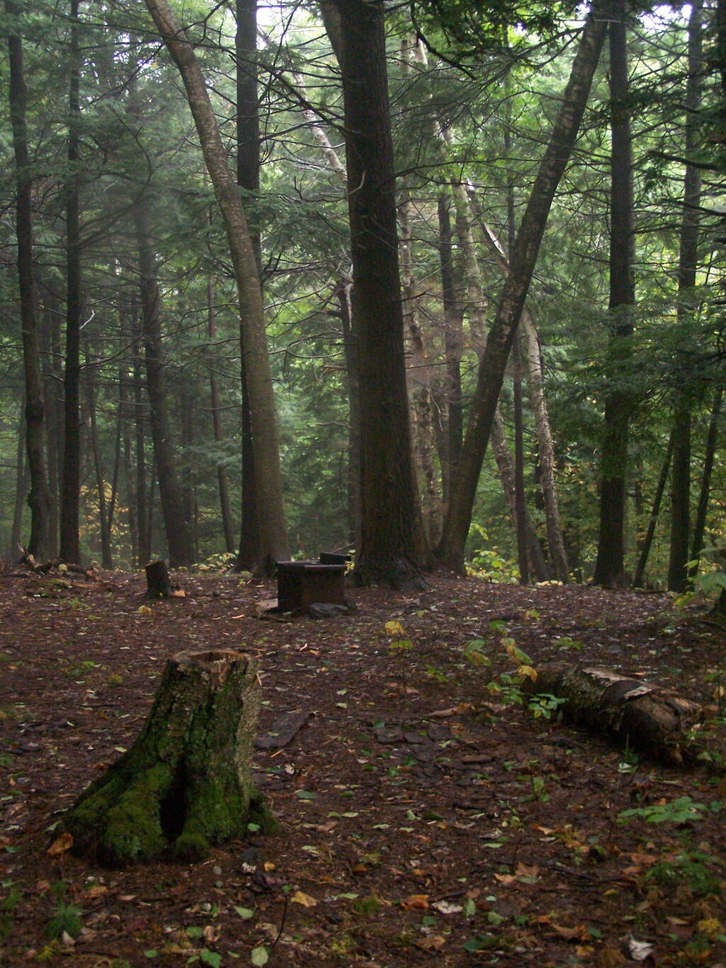
When you arrive almost to the top of the mountain, there is a beautiful little cabin you can stay in for no charge. It appears to be fairly popular, but with 6 bunks and floor camping space. There was a fair bit of unburnable trash around — particularly liqour bottles, even though technically alcohol is prohibited in the state forest.
Regardless, it looked like a fine place to camp. There is a wood stove in the cabin so you can stay here in the winter. I didn’t look at the wood supply around, but it looks like that shouldn’t be a problem.
While there was no official camping allowed on the mountain, people where certainly camping up there, and there were places where one could get well off the trail, yet camp in an open area with minimum damage to the land.
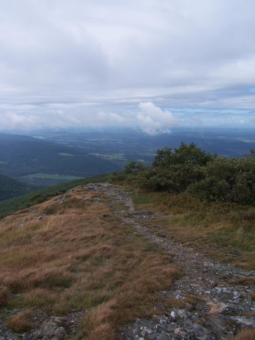
Once atop the mountain, it was still foggy and damp, but it was clearing out.
As the morning progressed, the sky got progressively clearer.
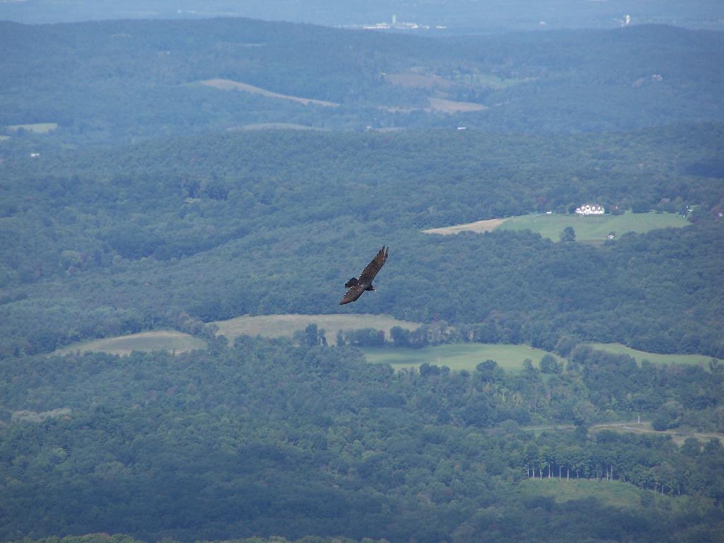
There was a Turkey Vulture flying over the landscape.
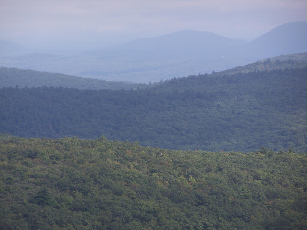
When it cleared out the views where beautiful, but with still quite a bit of haze remaining from the morning. I want to be up here one day in the fall when it is much clearer out. Maybe spend the night at the cabin, and enjoy the sunset and the leaves under the morning light.
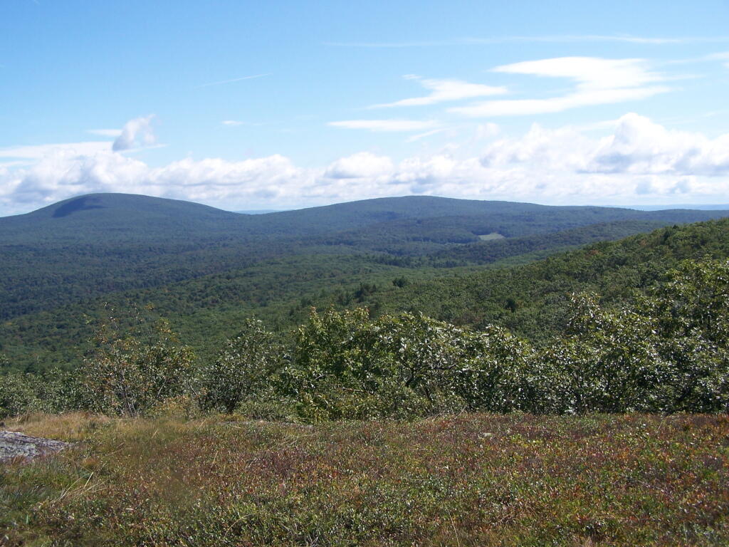
Brace Mountain and Ashley Hill as seen from Alander Mountain.
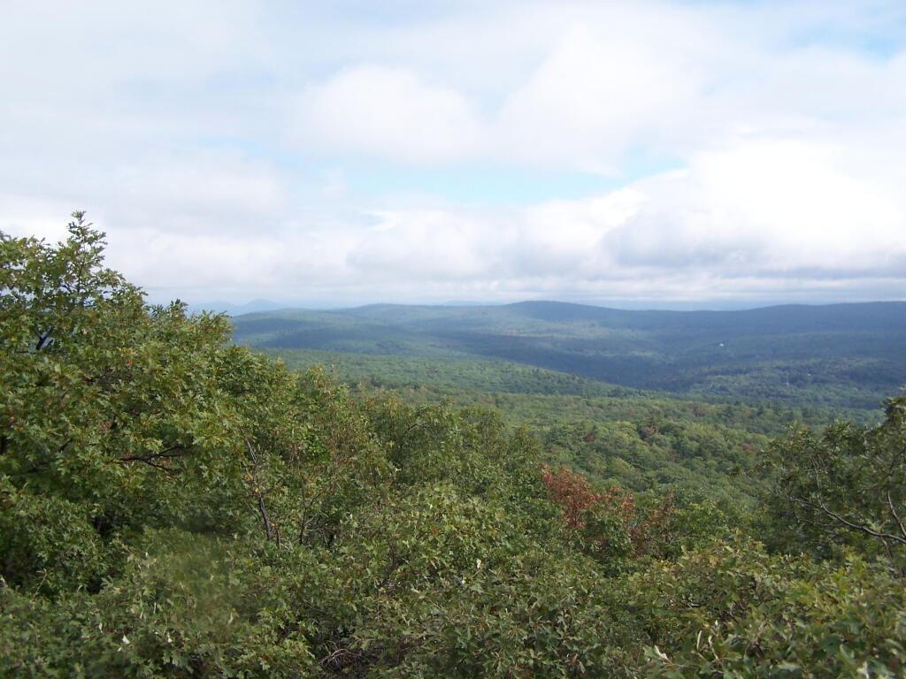
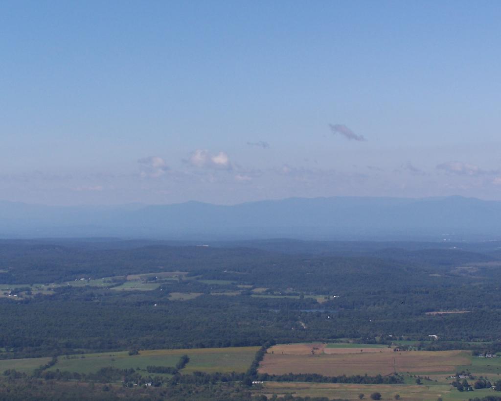
Farms and other uses throughout Copake Valley looking down towards Millerton.
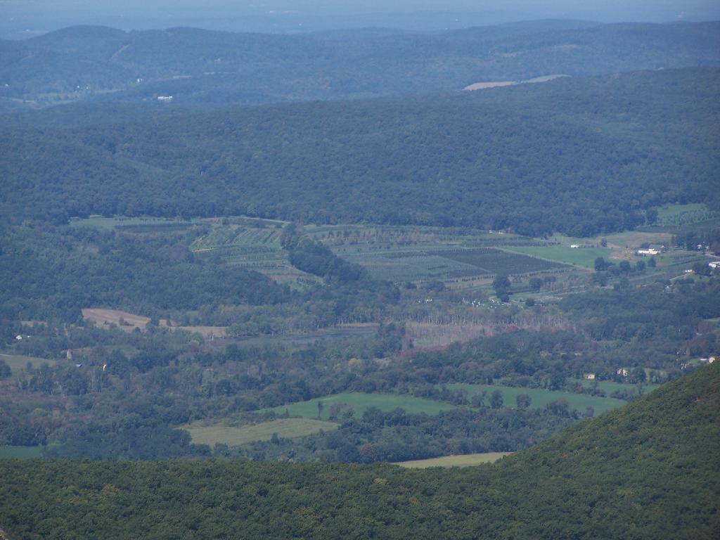
Apple Orchards and Swamps. This is similar from the views from Sunset Point that I looked down from during a springtime hike.
Alander Mountain is partially in Massachusetts and partially in New York. The peak is in Massachusetts.
The lower unamed plateau I hiked along on the South Taconic trail. By 2:30 in the afternoon it started to look like rain once again.
Returning back to the truck, it still looked like rain. You can see Alander Mountain in the background, from the area near the Mt Washington forest headquarters.
I hiked about 6 miles west to Harvey Mountain from Beebe Hill, a hill top with nice southerly views. The trail was well marked, but the section between Osmer Road (CR 5) and NY Route 22 had some serious blow down and was less traveled. Also the section of blue trail from Route 22 to where it met the red trail had extensive blow down from last year’s ice storm, which made for slow hiking.
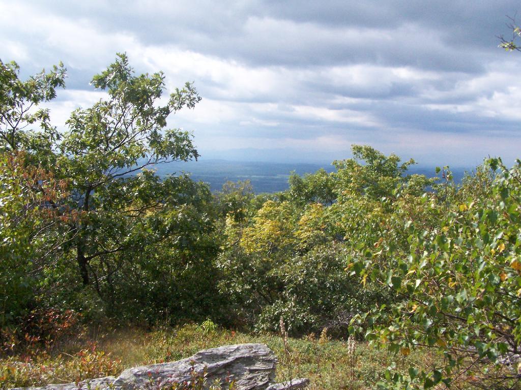
Arriving at Harvey Mountain, the southernly views where good, and there where minimal north-western views. I was underwhelmed by Harvey Mountain, although it’s not untypical for what you see in the Taconics. The hot glaring sun made it difficult to get good pictures, and I was hot.
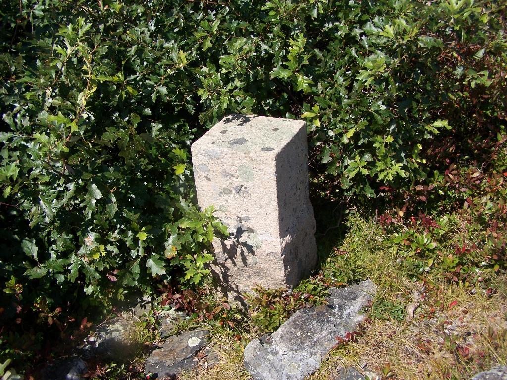
I hiked out to the Massachusetts state line marker, which you get to about a 1/8 of a mile from the top of Harvey Mountain on an unmarked trail.
I lost my cellphone on the way out there, and did not find it on the way back. Another hiker did find it and mailed it back. I didn’t get back to my truck until 5:45 PM, in a large part because the 6 miles of trail each way where a lot of climbing over downed brush, which slowed me down.
Hikers – Bartlet Pond Parking Area Blue Trail – Beebe Hill to Harvey Mountain Trail Tent – Beebe Hill Leanto Flag – Beebe Hill Fire Tower Bubble – Harvey Mountain; State Line
![Untitled [Expires March 21 2025]](https://andyarthur.org//data/photo_002839_large.jpg)

")