On Saturday evening after doing some political volunteer in the morning, I decided it was simply too nice to spend the afternoon home. It also was Memorial Day weekend, so I decided I wouldn’t be able to get the best campsites at the State Forest in Summit, so I decided to go hiking.
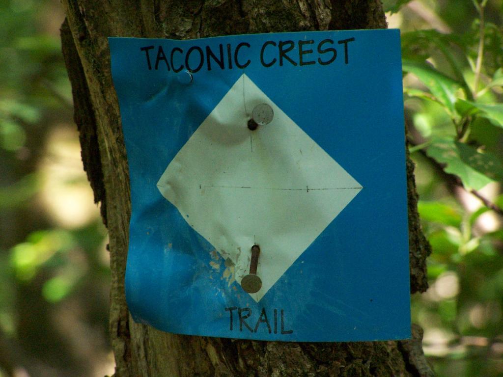
So I chose some place close: the Taconic Crest Trail, north of parking lot at Mountain Raimer on state border of NY-2 & MA-2. It’s quick drive from Albany, and a beautiful place to hike particularly in the evening.
The section on the Taconic Trail runs partially on the Hopkins Memorial Forest, a parcel owned by Williamstown College. Camping and hunting is prohibited on this portion, as it’s used for research. Other sections are owned by the DEC or run on DEC easements that allow most conventional uses.
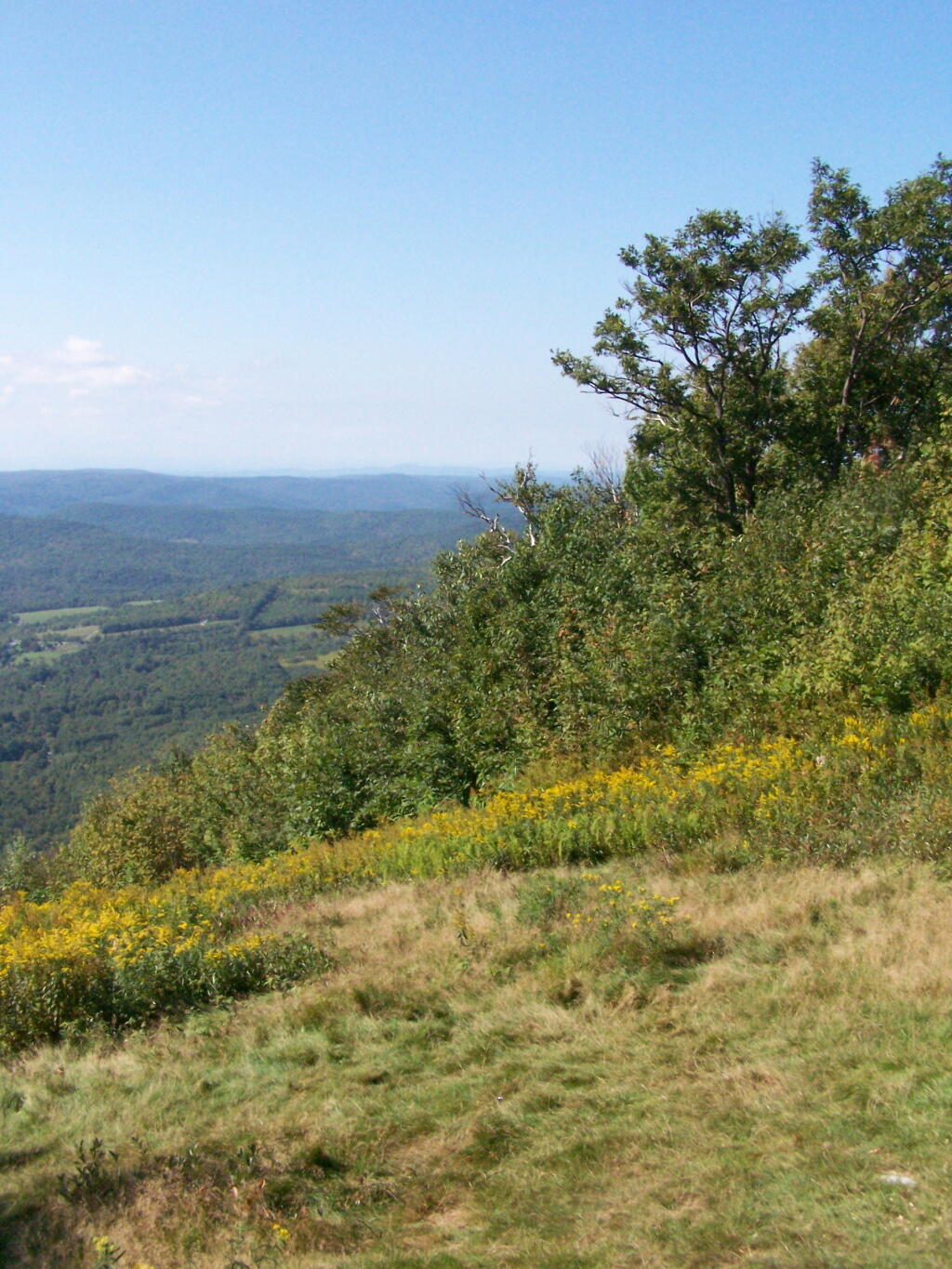
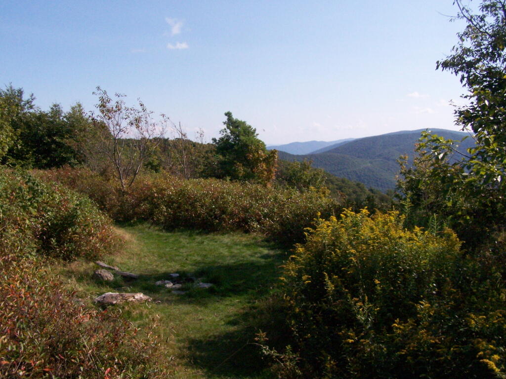
Here is off White Rocks.
Several small hobby farms you can see from off White Rocks.
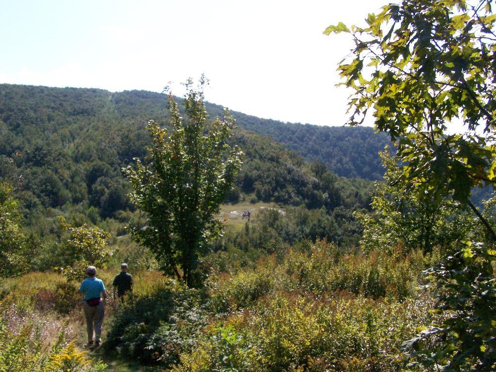
Along the trail, looking south in the mid-afternoon, with Mount Raimer and NY-2 in the background. This looks like somebody has stayed here in the past, although I’m not sure if it’s NYSDEC land, and even if it is, it’s too close to the trail to be fully-legal camping.
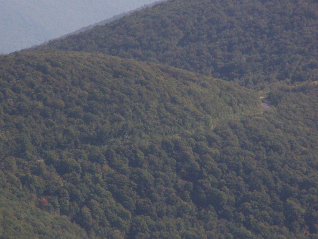
Here is NY-2 winding up the mountain.
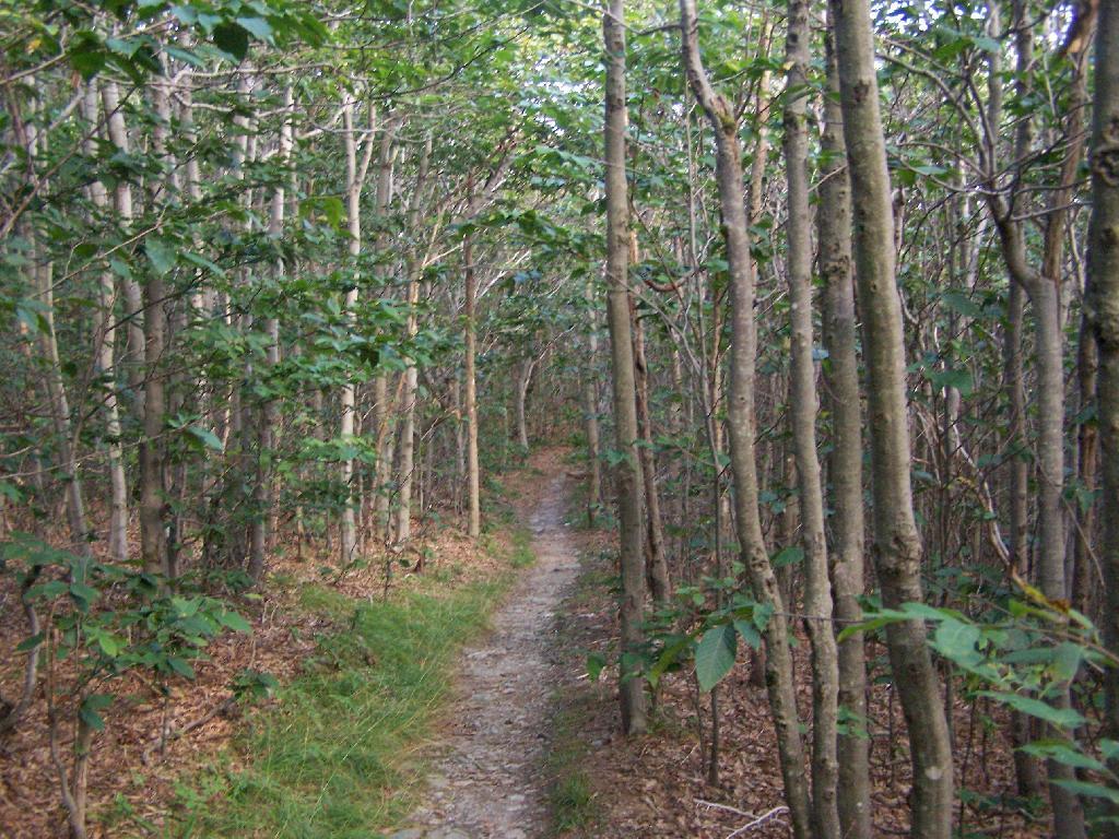
Interesting walk through a thick grove of Ash Trees.
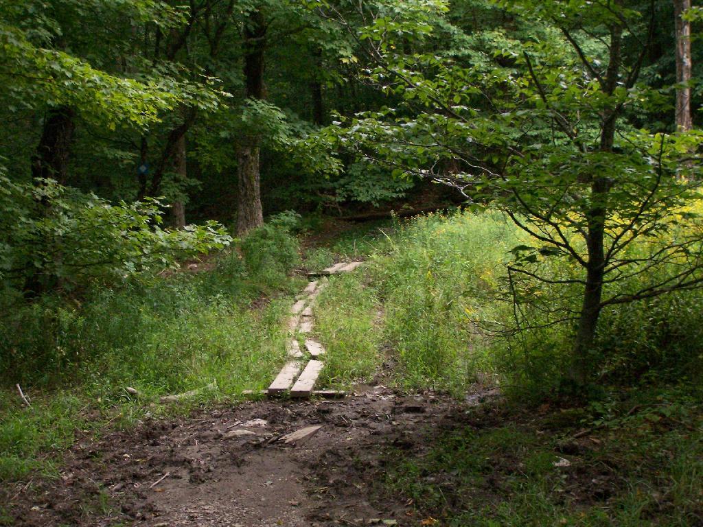
Crossing a muddy area on boards.
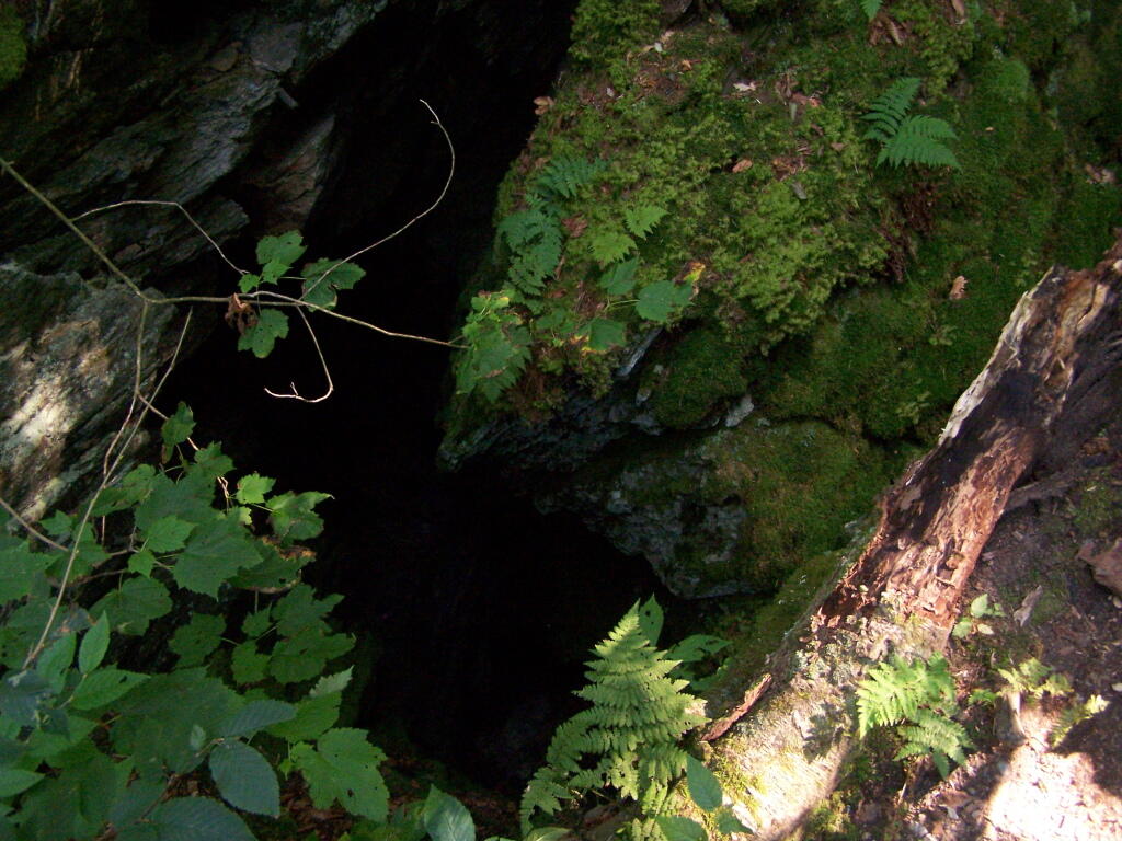
One of the unique features of the area is a place called Snow Bowl, a deep cavern in the woods, between peaks, that is known for holding snow deep into the summer. No snow is left by September, but it, according to the guide book, frequently has snow remaining by mid-summer.
Beyond Snow Bowl I hiked about another mile. Not much in views over hear, but still a nice hike with only limited climbing up and down. I think I crossed into Vermont, but I did not see any signs of markers saying Green Mountain National Forest.
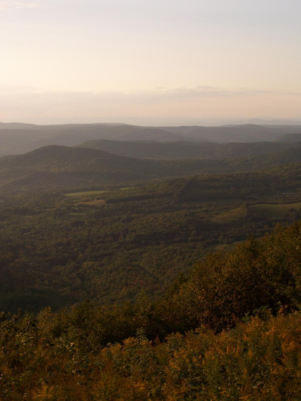
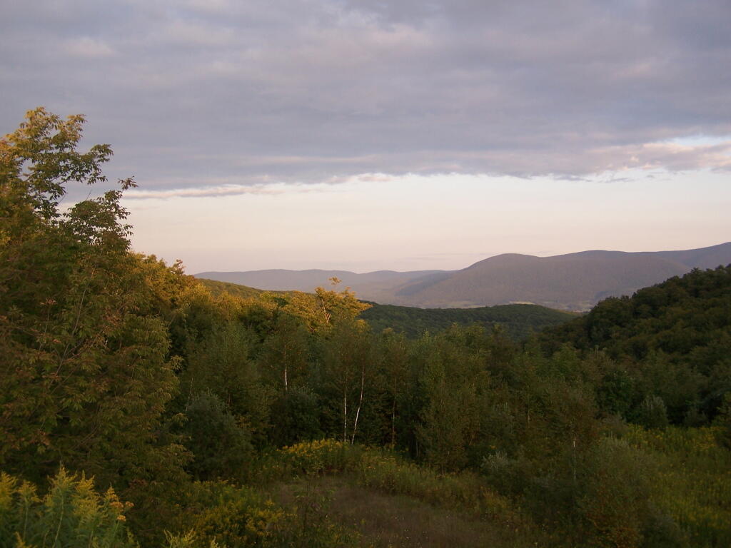
Hiking back the sun was starting to set, and there where clouds making for some impressive vistas.
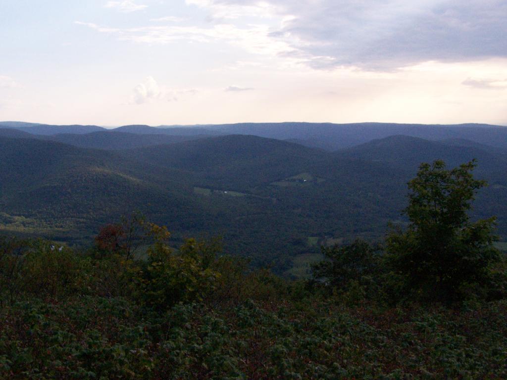
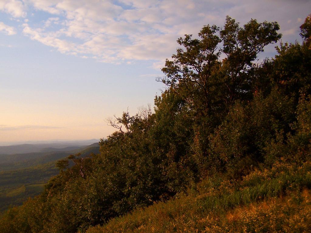
Back at White Rocks there was some pretty views as the sun was setting.
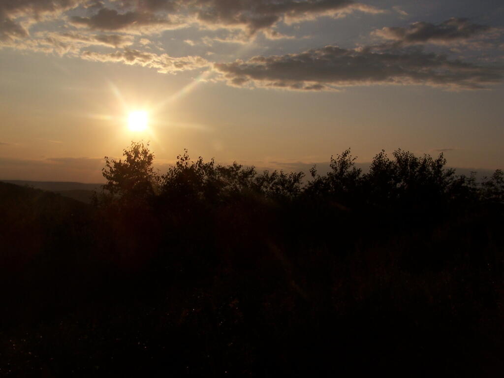
For a while the sunset took away my breath.
As the day came to an end.
When I got my truck, this was the view of Mount Prospect from the parking area.
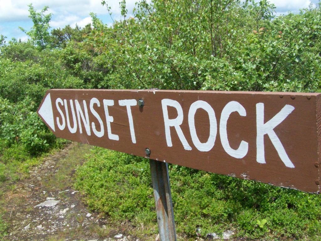
After hiking Bash Bish Mountain, I decided it was early enough in the morning that I would have time to visit Sunset Rock on Cedar Mountain. It has some of the most impressive views around.
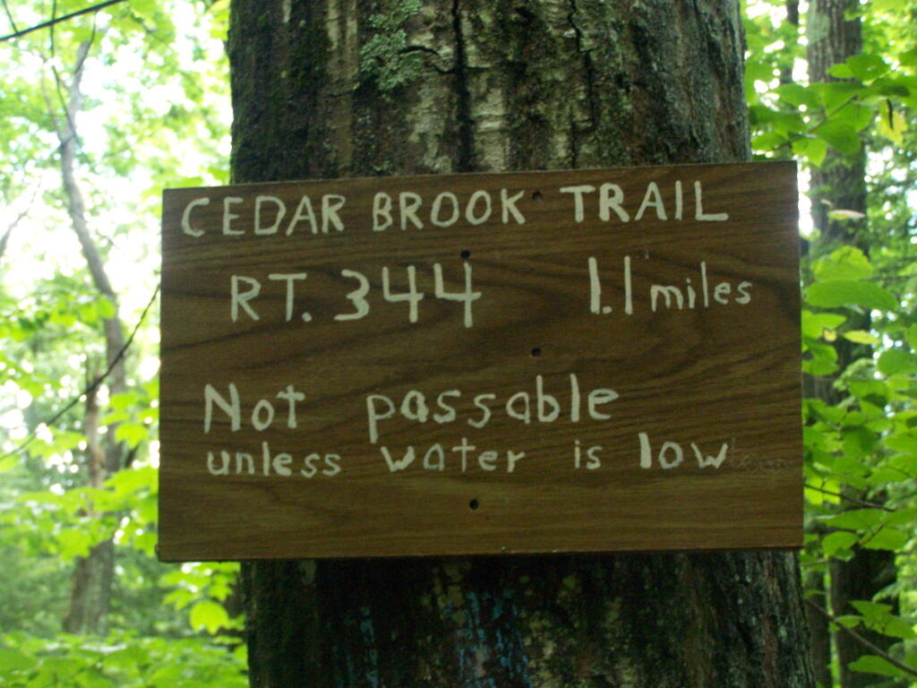
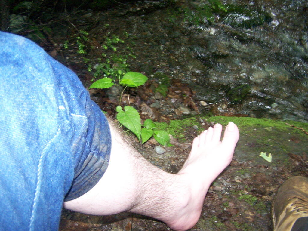
I decided to take the Cedar Brook Trail, the Blue Trail on up the mountain. This is not the recommended route if it’s been raining the day before hiking, like as it had been when I went out hiking.
The trail crosses the Cedar Brook five times, and one of locations was deep enough I found myself wading through at least one of those spots.
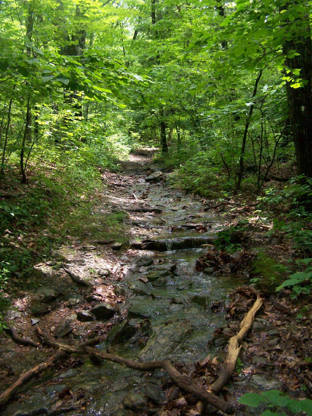
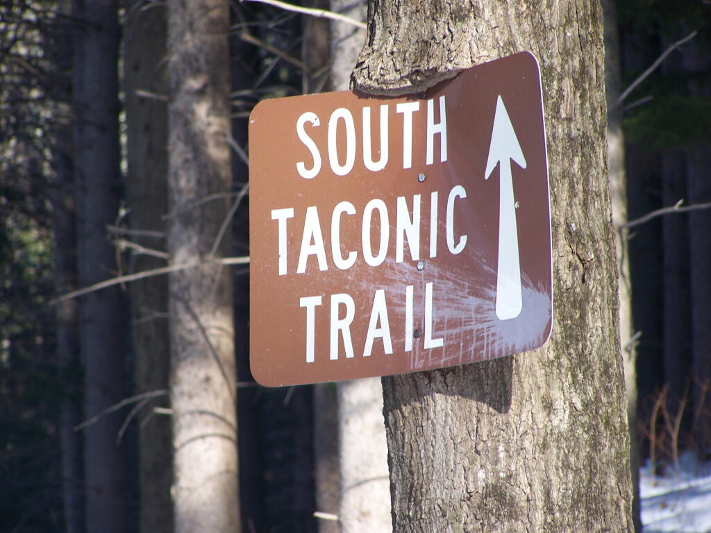
Once you climb out of the Cedar Brook Valley, via a rather steep trail, you connect up with the main South Taconic trail to Sunset Rock. This trail was much less wet then crossing the brook, but still rather flooded in several locations
Once you reach the top, the foliage changes. First it goes to open canopy with ample ferns and decedious trees high above. At the top, it is quite open with just a little bit of scrub oak and ample blueberries around. From the must-needed Sunset Rock sign, you follow a trail about 1/4 mile to Sunset Rock, a small boulder you walk on top for wonderful views of the valley below.
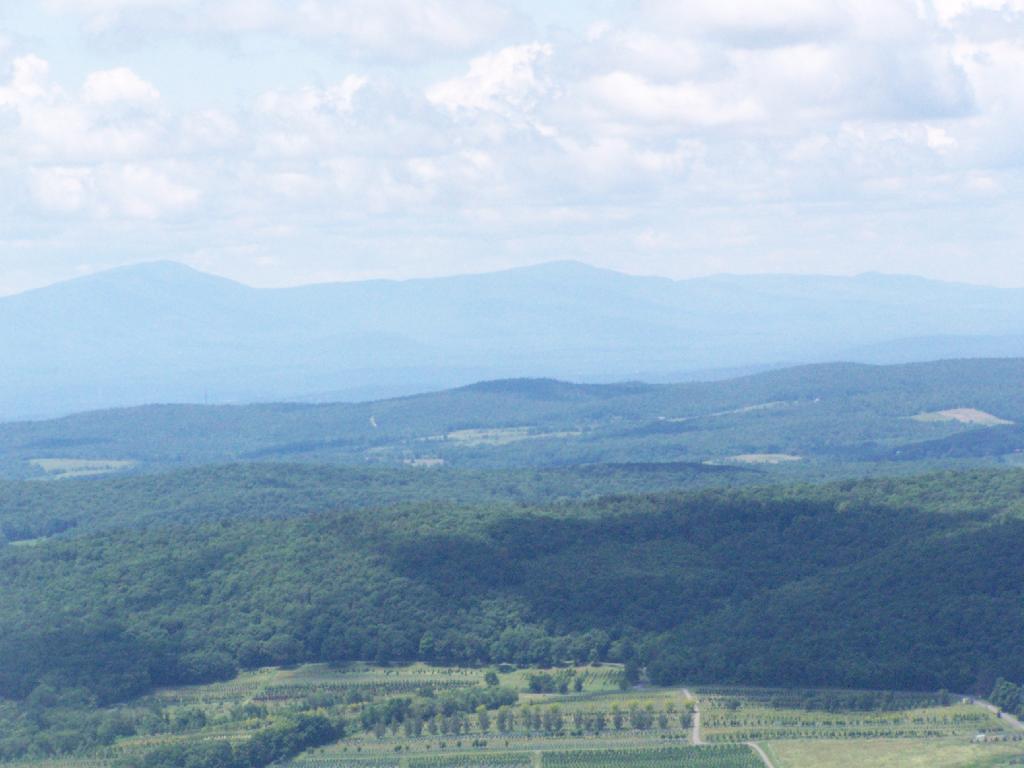
The views from Sunset Rock are amazing. As you could see by this picture, it’s gotten very clear out by around 1 PM. I have to say this is one of the nicer views I’ve seen around, with the Catskill Mountains in the background.
Here is what it looks like towards the South-West, towards Overlook Mountain and beyond that, the Shawangunks.
The main South Taconics Trail descending Sunset Rock was much drier, following an old wagon road, that is smooth enough you could drive a regular car up it. If you have any question about how wet it’s been, this route is the one to take. I will upload a photo later.
I hiked about 6 miles west to Harvey Mountain from Beebe Hill, a hill top with nice southerly views. The trail was well marked, but the section between Osmer Road (CR 5) and NY Route 22 had some serious blow down and was less traveled. Also the section of blue trail from Route 22 to where it met the red trail had extensive blow down from last year’s ice storm, which made for slow hiking.
Arriving at Harvey Mountain, the southernly views where good, and there where minimal north-western views. I was underwhelmed by Harvey Mountain, although it’s not untypical for what you see in the Taconics. The hot glaring sun made it difficult to get good pictures, and I was hot.
I hiked out to the Massachusetts state line marker, which you get to about a 1/8 of a mile from the top of Harvey Mountain on an unmarked trail.
I lost my cellphone on the way out there, and did not find it on the way back. Another hiker did find it and mailed it back. I didn’t get back to my truck until 5:45 PM, in a large part because the 6 miles of trail each way where a lot of climbing over downed brush, which slowed me down.
Hikers – Bartlet Pond Parking Area Blue Trail – Beebe Hill to Harvey Mountain Trail Tent – Beebe Hill Leanto Flag – Beebe Hill Fire Tower Bubble – Harvey Mountain; State Line