outdoors

A Night Up at Beebe Hill

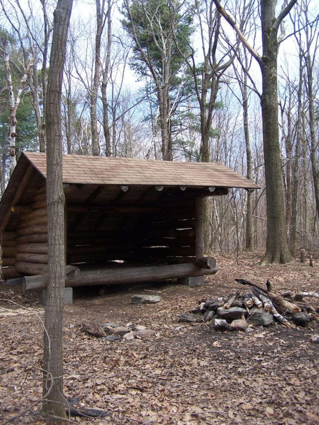
I spent a night up at Beebe Hill, at the Chance of Thunder Lean-To about two weeks ago. It was a very humid night, and it clouded up much too early, however, it still was enjoyable experience.

Chance of Thunder Lean To

My camera’s batteries where weak, as this was a last minute decision to spend the night up there, so some of these photos are from a previous spring pictures.

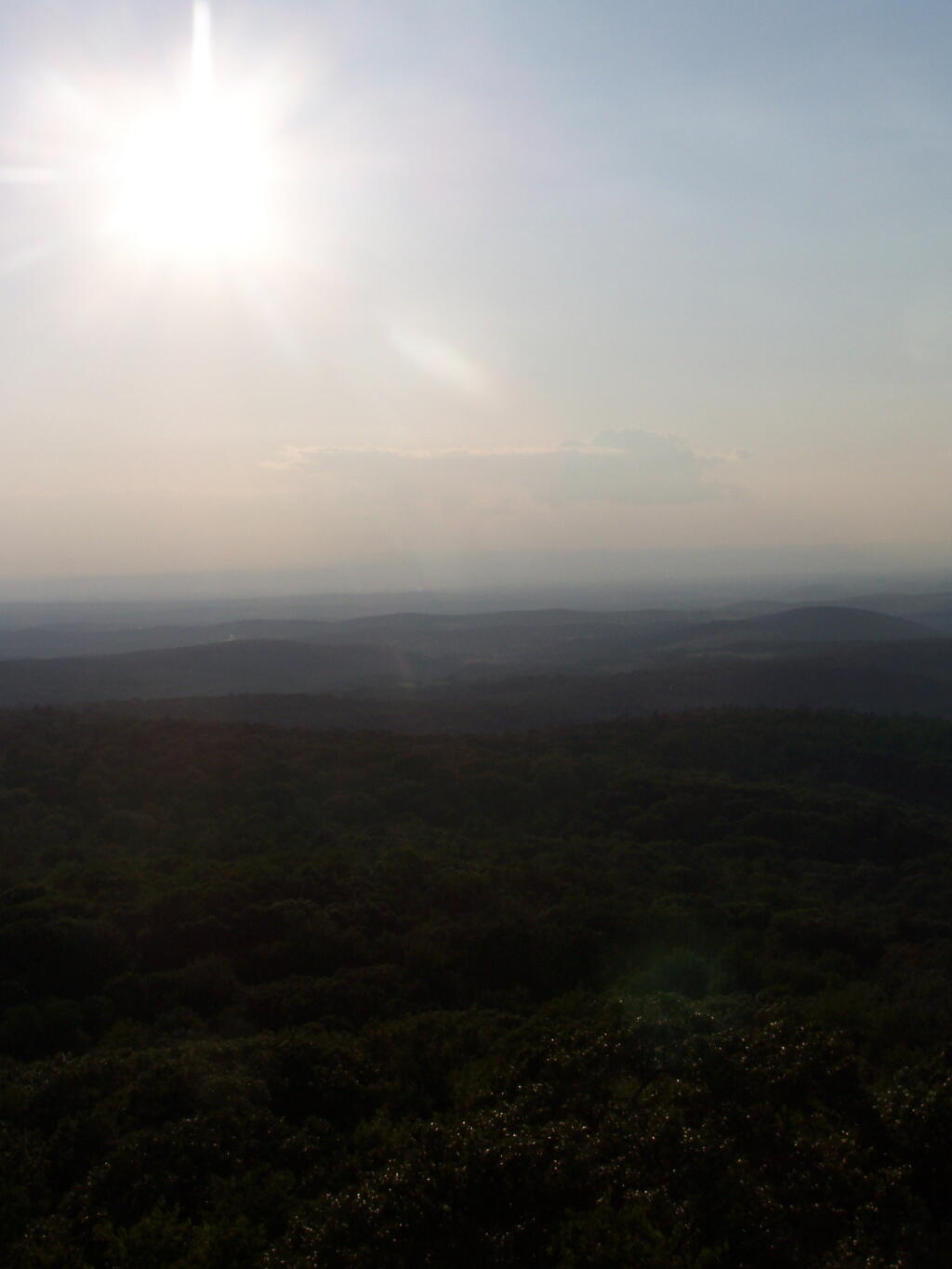
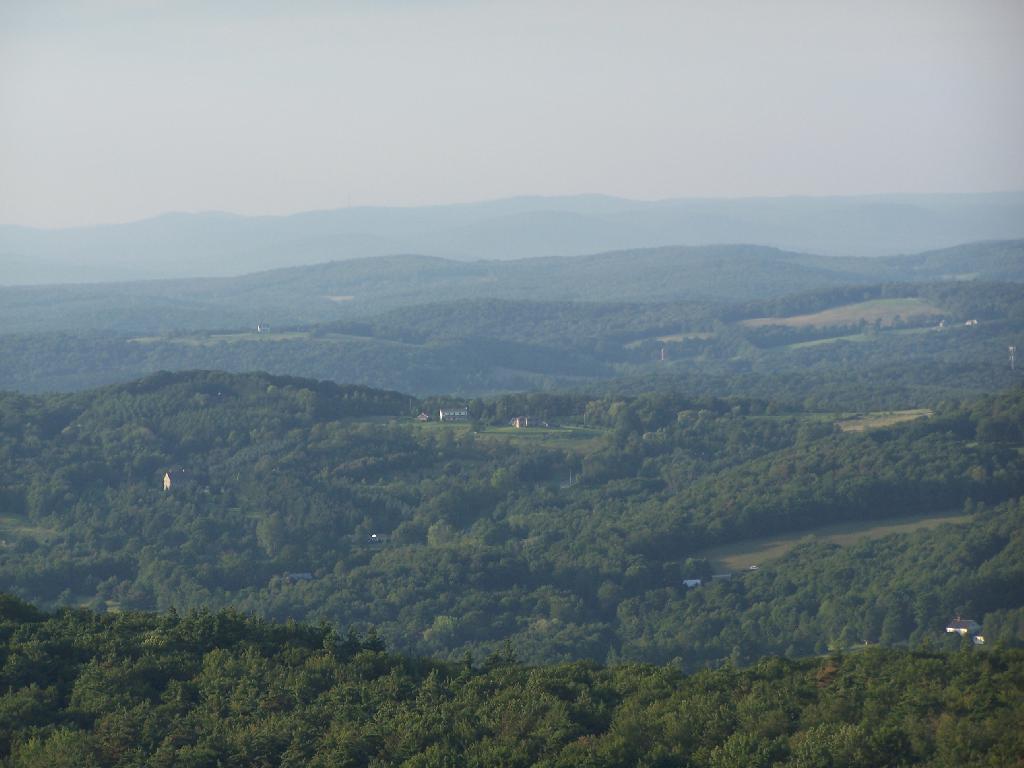
As you can see, it was very hazy at night.

Canaan and Red Rock

The sun sets into the haze.

Setting Sun

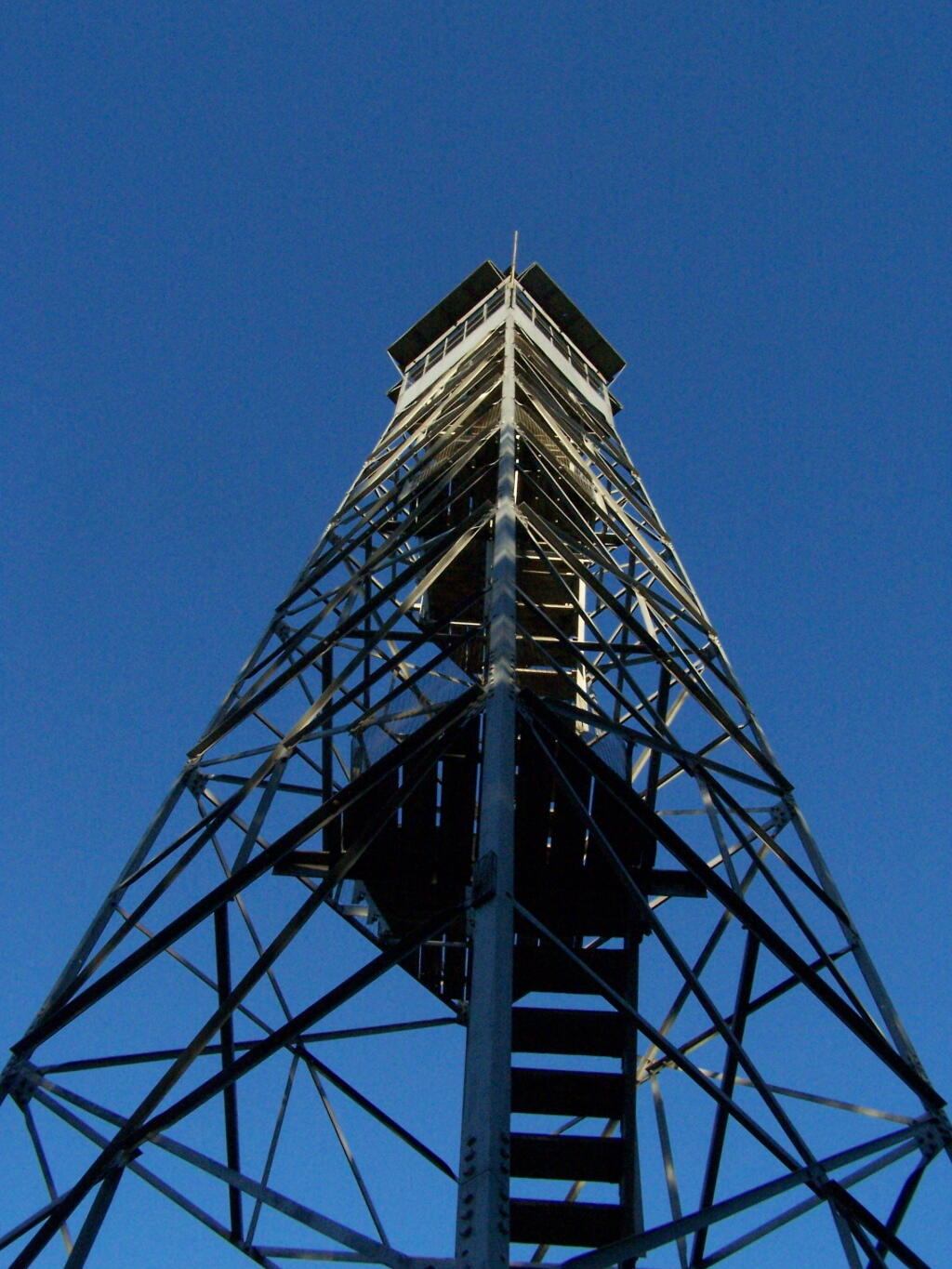
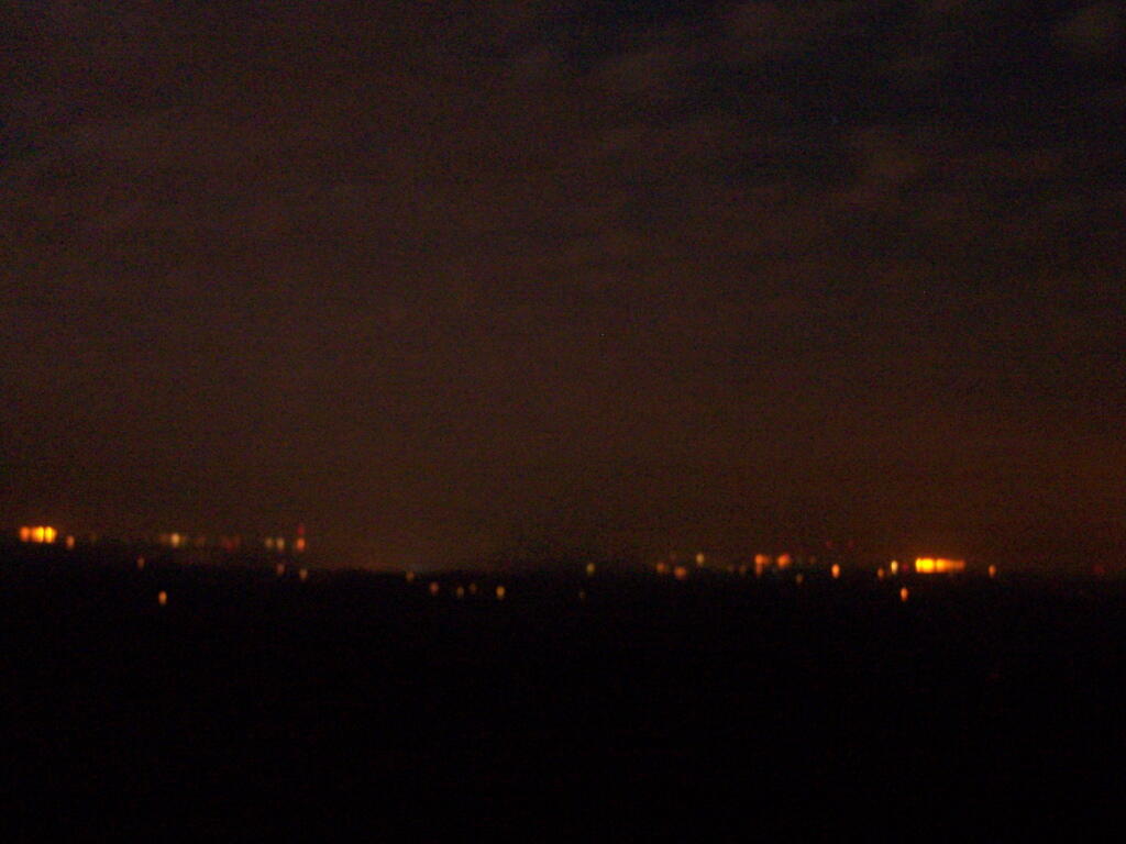
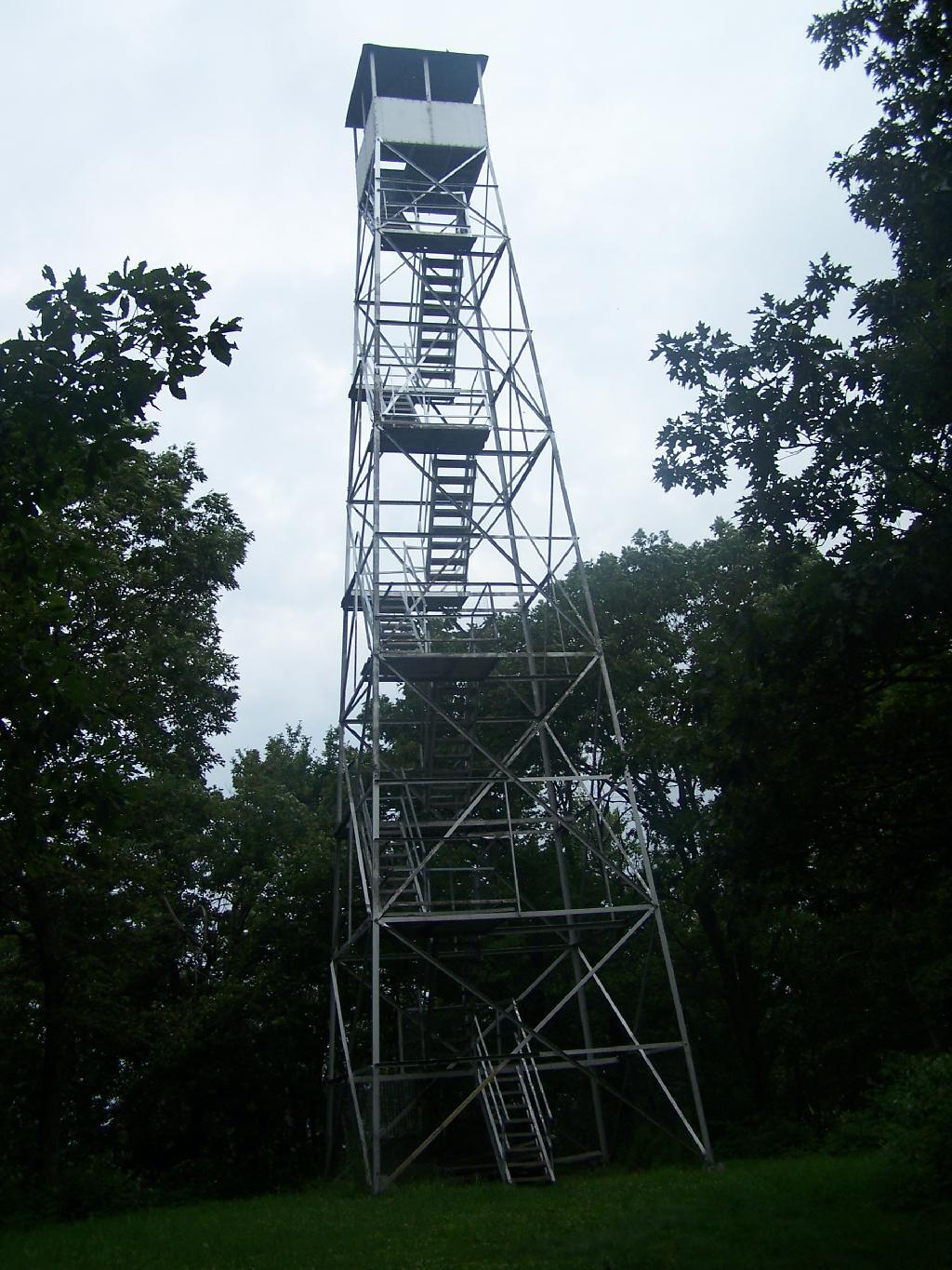
By night time the wind was whipping around, with the steel in the tower giving a bit, and it was hard to get a steady photo on the tower, even with the tripod. Yet, it was so beautiful — I went up there at 9:30 PM then once again at midnight. You could see the lights from Ravena to Hudson from the tower, including farms and houses, and while the moon was still out, the outline of hills and valleys, and very faintly the Catskill mountains. It was amazing.

Off Firetower at Night

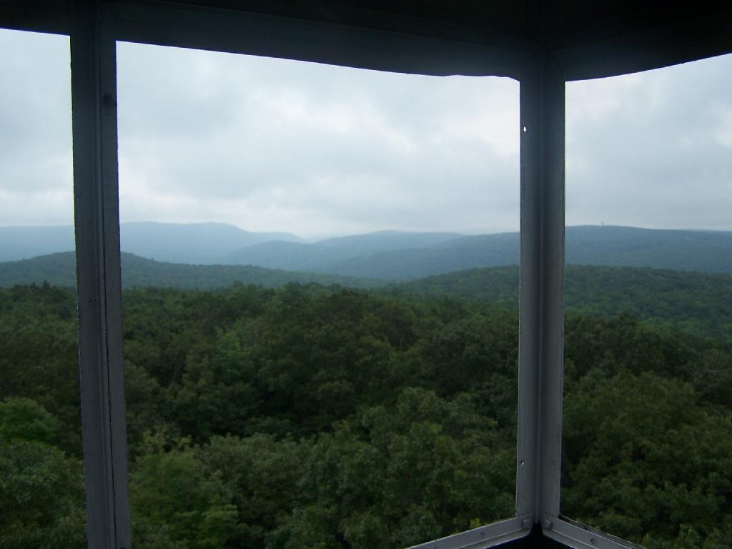
The next morning it was very foggy out from the humidity, almost looking like rain, but it was not raining.

Rainy Morning

I descended the mountain, headed home around 9:30 AM, as I had to get cleaned up for the Bethlehem for Peace Picnic.

Tower


View Hikes of 2009 in a larger map

Third Weekend at Burnt-Rossman

The primitive campsites at Burnt-Rossman are my favorite place to visit. They are in a remote part of Schoharie County, yet only a 10 minute drive from I-88 and a total of an hour and ten minutes from my place in Delmar. There is ample water, and the sites have nice little fireplaces, and places to camp where you can drive in.

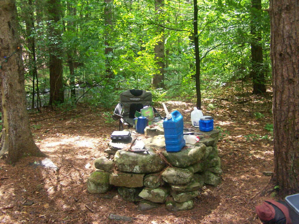
Stone Table

It rained on Friday night, so I put up my tarp. I spent much of Saturday going between the creek up there with my feet in there, and sitting in this very comfortable chair, reading Noel Perin’s Third Person Rural. It was very quiet Saturday, seeing all but one pickup going past, plus a family in a minivan, and three people riding horseback with cowboy hats.

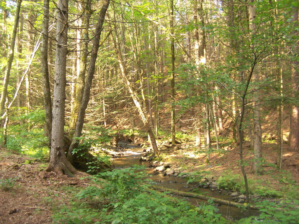
Betty Brook

I had my Christmas lights up and stayed up really late several nights. It was great, and beat the horrible humid weather that people in Albany had to suffer through during this very warm weekend.


View Hiking in 2009 in a larger map

Sugar Hill Firetower & State Horse Camp

The final night of my Finger Lakes Trip I spent the night up at Sugar Hill State Forest, a series of 9,500 acres of state land, popular for horse owners. This parcel has two main camping areas, about 90 miles of horse trails, 3 lean-tos geared to equine users, and one nice new lean-to that is accessible solely by foot.
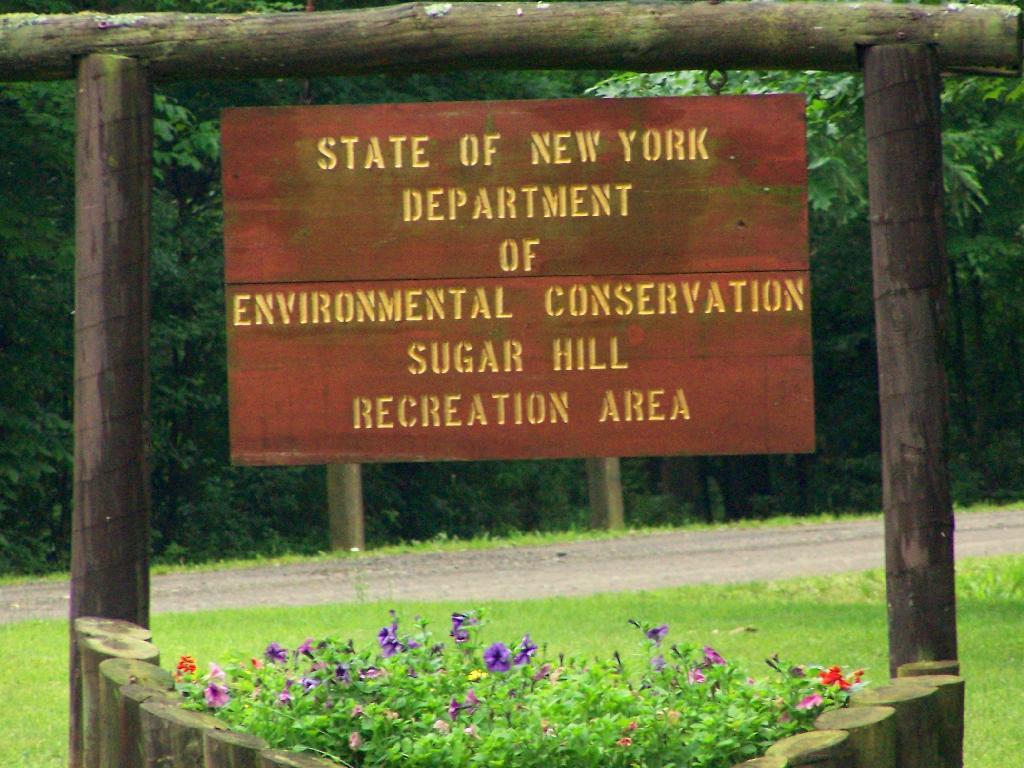
Sugar Hill Recreation Area

You don’t see signs like this located in downtown Albany.
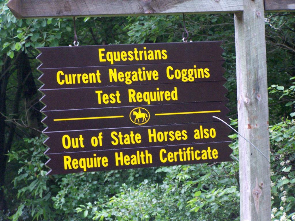
Negative Coggins Test

This is all conveniently located about 15 miles from Watkins Glen, at the headwaters of Townsend and Glen Creeks that make up the water that flows through the Glen.

While I didn’t spend a lot of time going around and grabbing pictures of the Horse Camp, I did take some pictures and have some from when I visited this area during the previous summer. This was in part because the last day was rather gray, with heavy rain at times, and I was frankly quite tired.

There also is a firetower at the main horse camp area, which is filled with RVs, horse trailers, and horses during the summer weekends. This is shown below:


View Hikes of 2009 in a larger map

Here is the fire tower:

Firetower

Here is the main horse camp, with new bathroom facilities including flush toilets. This was installed two years ago due to the popularity of the horse camp and contamination concerns by the overuse of the conventional pit privy.
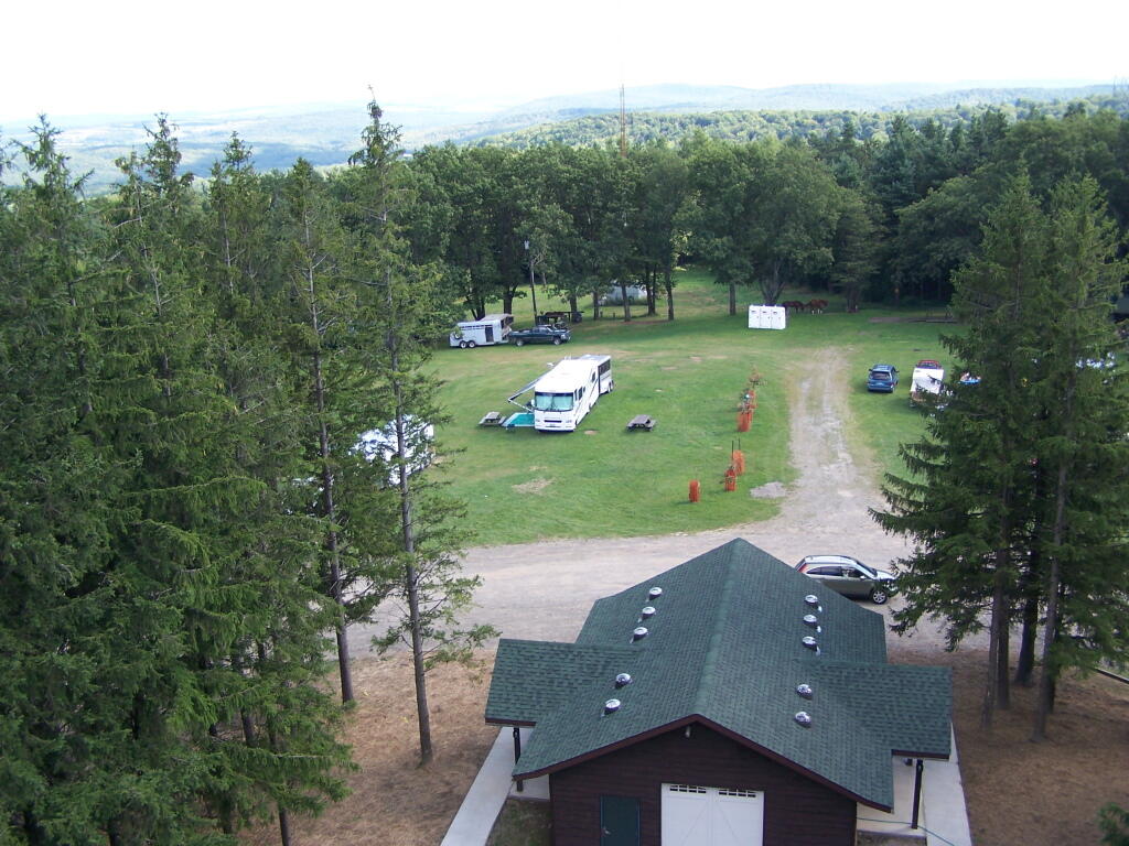
Six Nations Horse Camp

Horses tied up. I took this last year, when they where still building the replacement bathroom for the pit privy, and therefore the porta-potties.
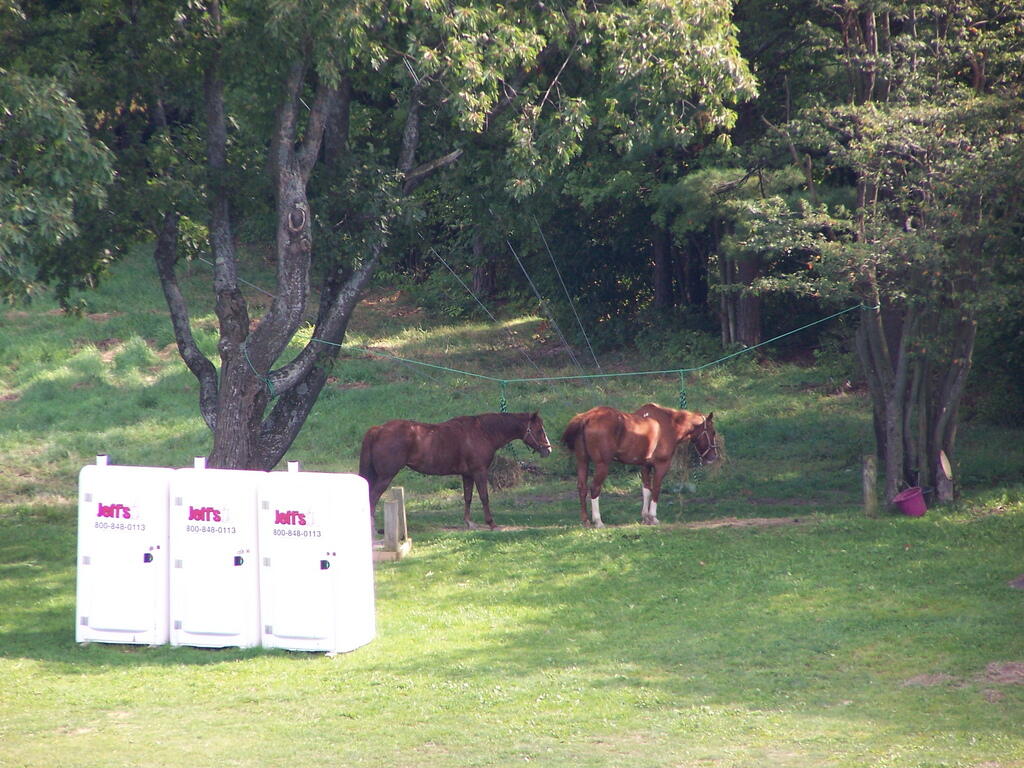
Horseys

Some wildflowers noticed along a short walk…
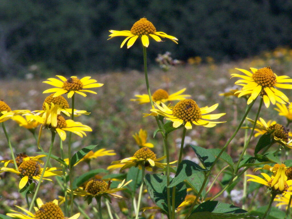
Flowers

A bed of fog over Kueka Lake from the Firetower from last year.
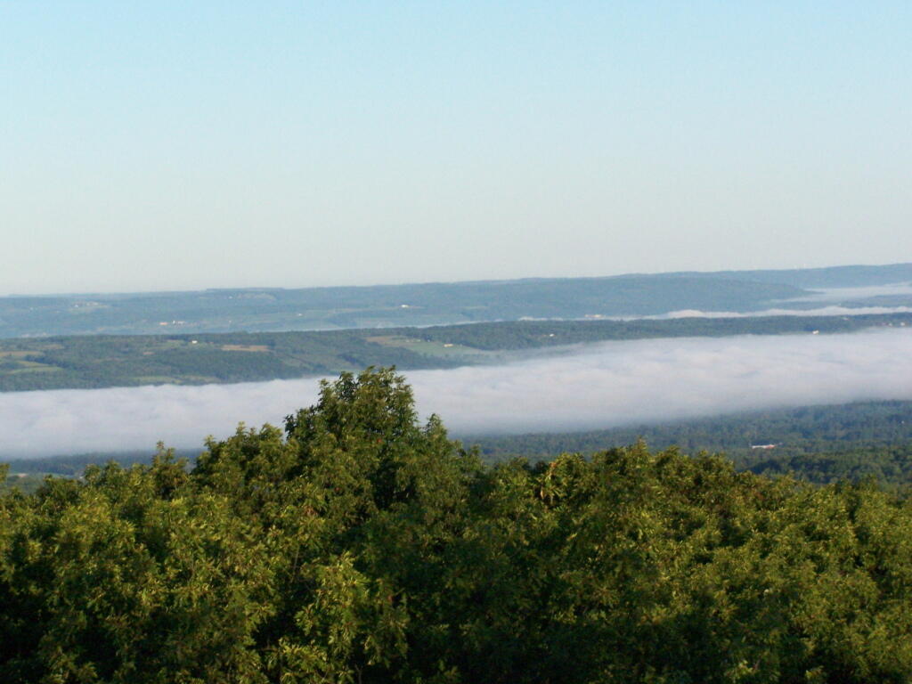
Bed of Fog

Thunder clouds approaching from the west from the Firetower. It was not of course thundering when I was on the tower. I’m not that stupid.
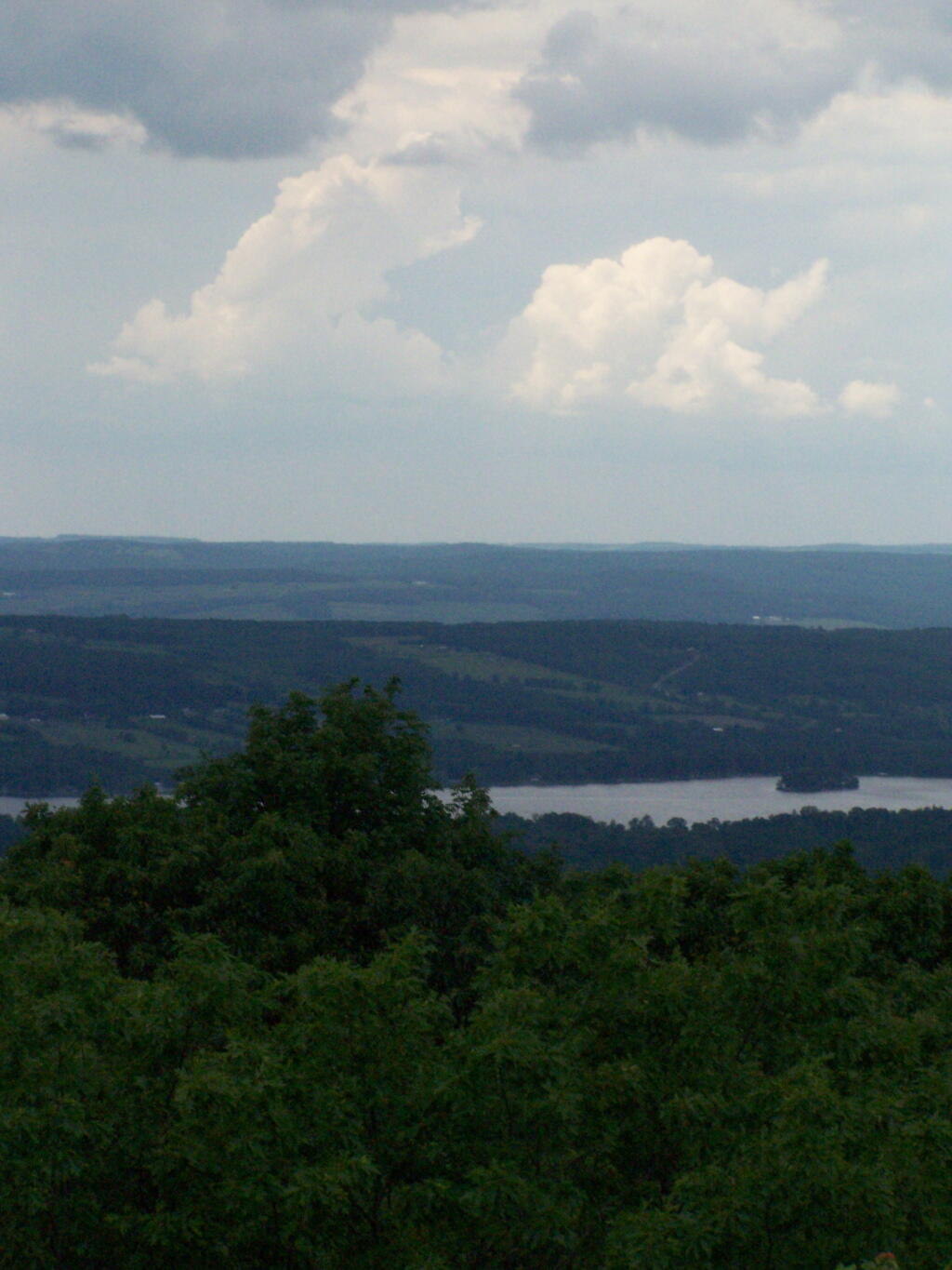
Thunderheads

Descending the firetower, looking east towards Seneca Lake.
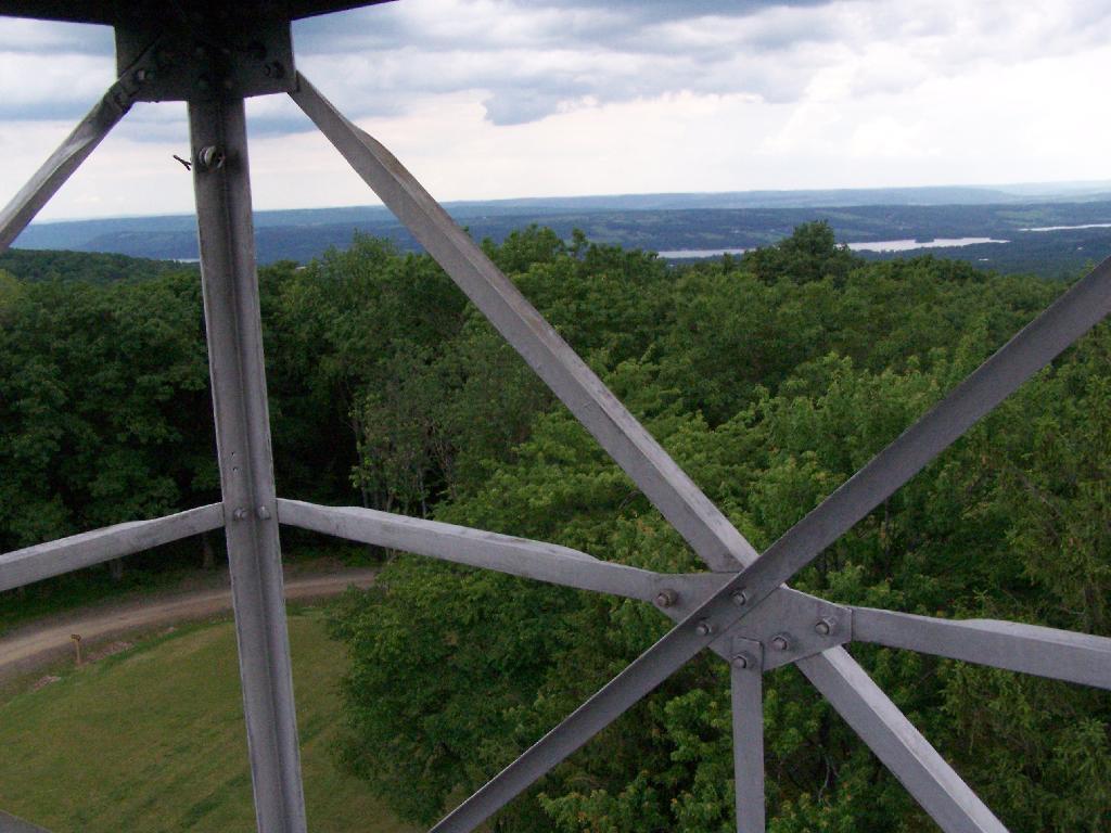
Descending Firetower

Rather then camping at the main horse camp, where there where several people set up with horses, I decided to camp at the lower area, which is much less popular, but as nice if not nicer.
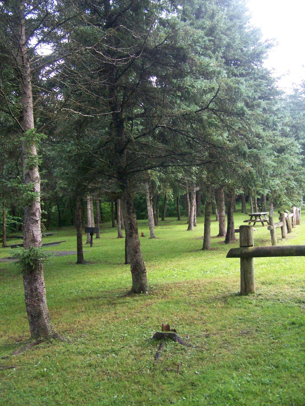
Horse Tiedowns

They still have lots of things for the horse owner to use.
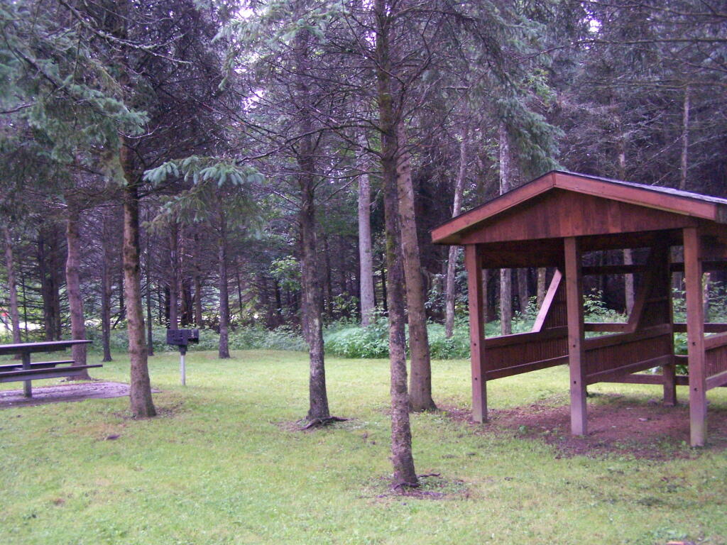
Horse Stables

In the evening it started to rain. It didn’t bother me much, as I had the tarp over my truck and the picnic table, and thanks to the cement base under the table, there was no mud or muck to get kicked up.
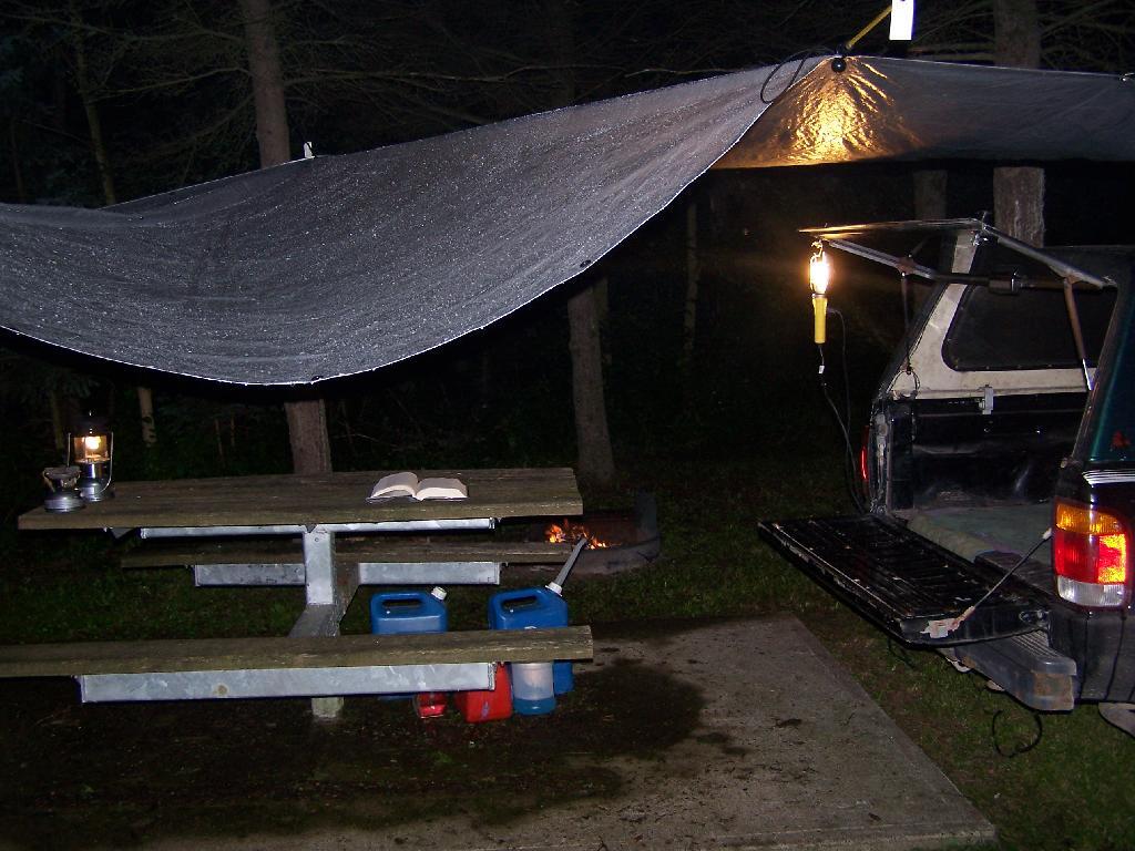
Reading in the Rain

This was my camping arrangements, as seen in the morning. Not bad, especially for a free campsite.
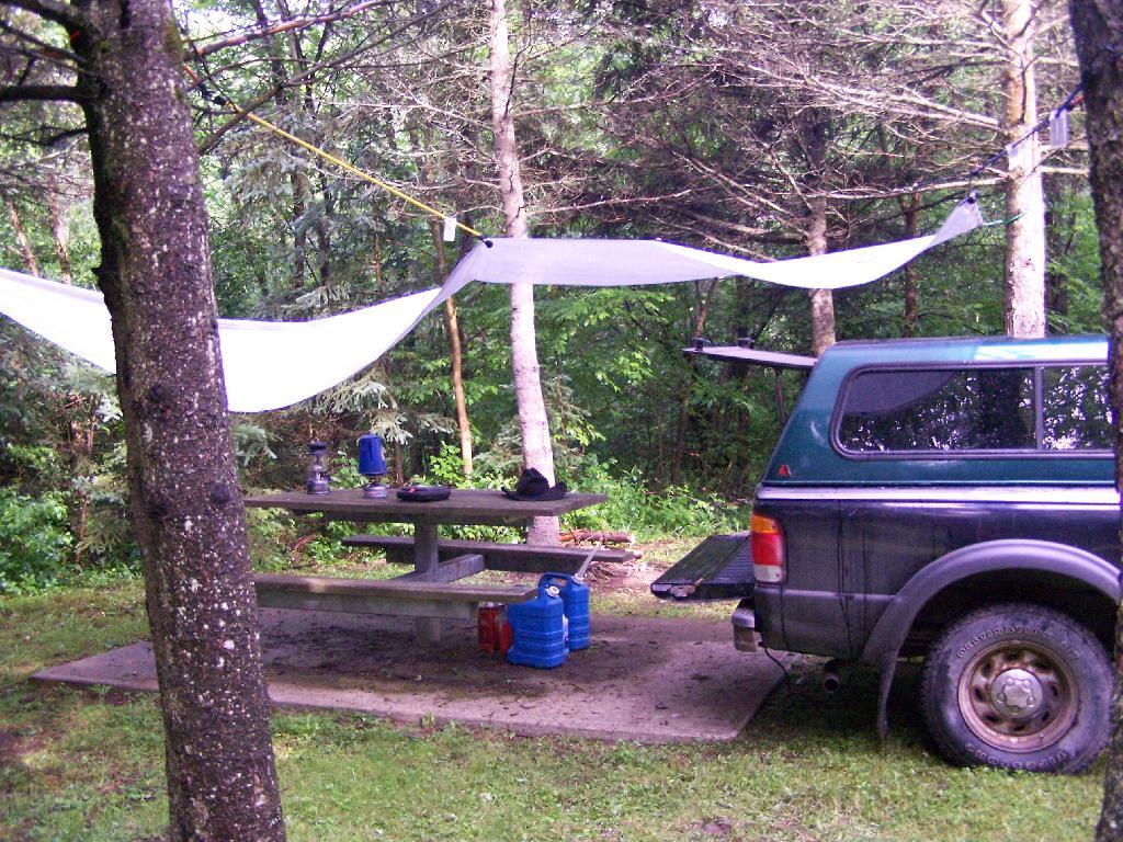
Camping

Making some coffee in the morning. I drank an incredible amount of coffee during this week.
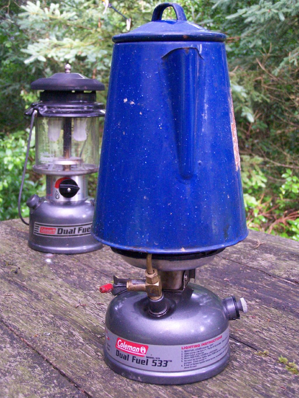
Camp Stove

Where I camped, after everything was all packed on up.
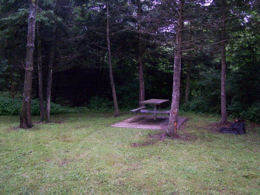
Site

Farms from off Six Nations Hill in the rain, looking south.
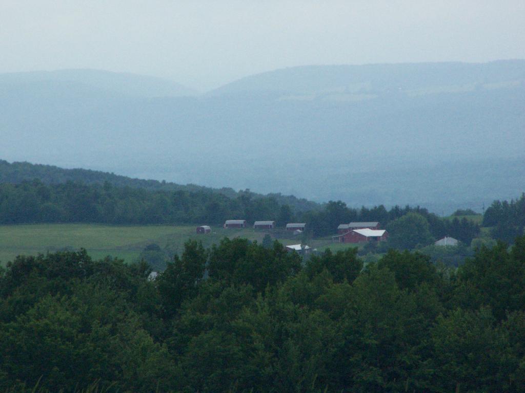
Farm

Maps from the DEC of Six Nations Horse Camp:

I drove the following route on Day 3 of the Finger Lakes Trip, in yellow. The loop is where the firetower and main horse camp is. Following the green line due south, takes you to the southern horse camp where I spent the night camping.


View Finger Lakes Trip June 2009 in a larger map

Day 4 I visited Corning and checked out Big Flats, which is now unfortunately little more then suburbanite crap. Corning was kind of neat, except that it started to pour when was down there. I then drove down to Sayre, PA, and through northern Pennsylvania so I could pick up some fireworks for the forth of July. I probably could have come right back into the state, but I certainly didn’t want to be followed by undercover cops, with my fireworks (yes, I’m a little paranoid).

Rural Pennsylvania was quite pretty, except for the heavy rain and the fact that Route 706 was so damn narrow and twisty. When I got back to NY, I really appreciated how much better our state’s roads really are. I drove back via I-88, occasionally hopping back on Route 7 for some additional variety to my trip. I got home around 4 PM.


View Finger Lakes Trip June 2009 in a larger map

The green line follows my return trip. It took about 6 1/2 hours, including stops in Corning and other places.
Back at Burnt Rossman

One of my favorite state forests for drive-in camping, I decided to stop by on my way back to Albany from hiking Mount Tremper. I arrived around 5 PM, after checking out some sites along Cole Brook Road. This area was pretty grown up, and while a designated camping area in the master plan, it wasn’t clear where property lines where. Driving along Cole Brook Road would be rough by anybody’s terms, impassable by passenger car, but rough in a pickup with worn-out shocks.

Camping

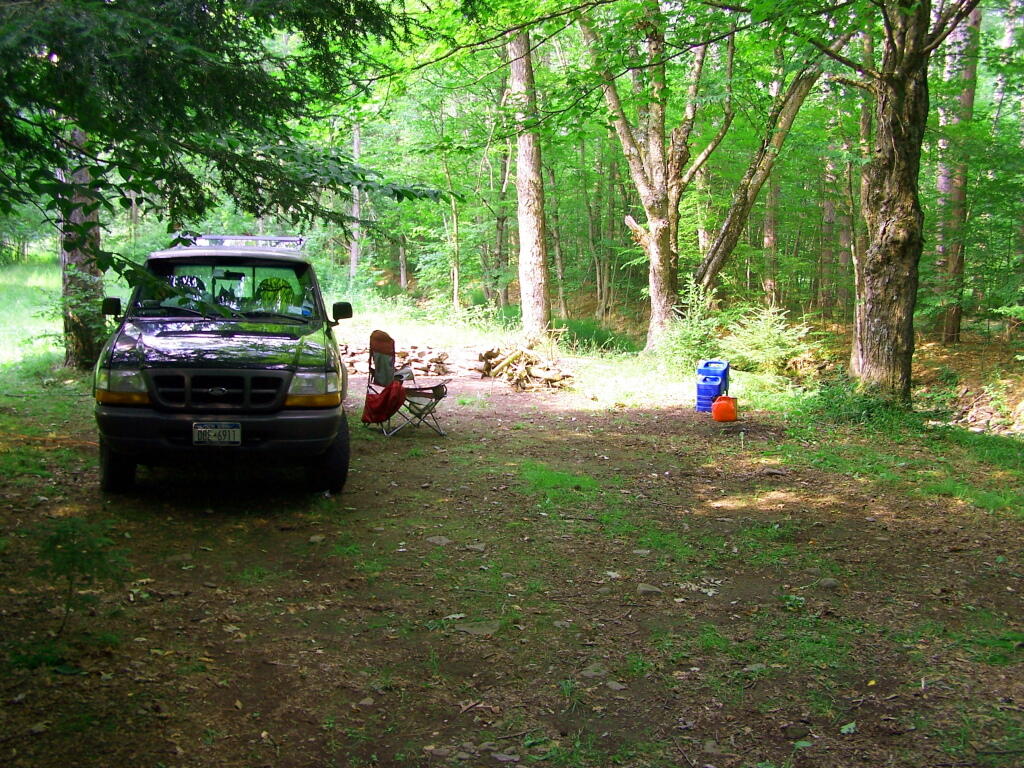
It was a pleasant night, I stayed up until 1 AM listening to music and reading by the camp fire. The fire was big and great, although I have to admit the smoke kind of blew my way so I had to move the truck. My new truck battery was strong, although I did let the truck idle for 20 minutes around 11:30 PM just to make sure I would be good to go.

I ended up camping one site lower then my preferred site as another family was camping up there. Hopefully I didn’t keep them up with my Merle Haggard. It was a good night for sure.

I got up around 12 noon the next day, after a good nights sleep, then decided to check out the State Truck Trail north-east spur off of Tamarack Road. It proceeded about two miles back, along logged sections and white pine forests, back to an area with a sign pointing to a lake. I got out of my truck to start hiking back that way, but seeing Turkey Hunters, I decided to give them distance, and hopped in my truck and drove over to Vromans Nose.


View Hiking in 2009 in a larger map

Palenville Overlook

On Memorial Day 2009, I decided to go on an afternoon hike to the Palenville Overlook, along the old Catskill Mountain House Road, which was used for horse and buggies during the era of that great mountain house prior to the installation of the inclined railroad and later automobile.

Bridge By Halfway House

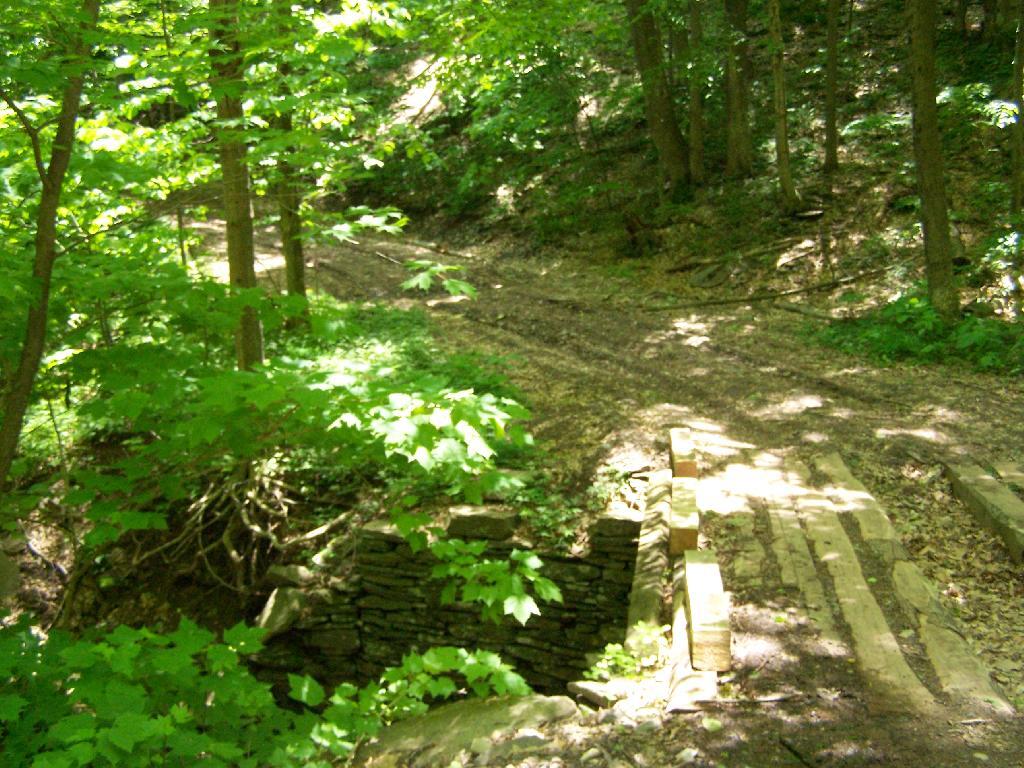
The first part of the trail is a moderately steep old wagon road that climbs about 1,000 feet to the site of the Halfway House / Rip Van Winkle Hollow. If it wasn’t gated closed, it would be passable by an automobile. When you reach the ruins of the Halfway House, there are horse tie-downs and ruins of the old tavern known as the Half Way House. It’s where passengers could get a good strong drink and so could horses, as they made their way up to the Mountain House.

Little Pine Orchard Pinic Area

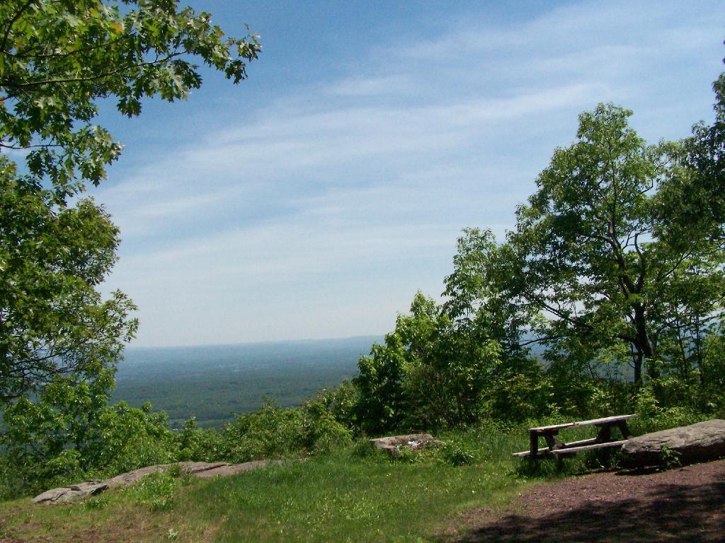
After this nice place for resting, the trail climbs a bit more and becomes a lot less steep. You pass by a private hunting cabin, and finally into the forest preserve. You arrive at a pinic area with nice views of the valley, a picnic table, horse tie-downs, and a fireplace full of trash.

Tree

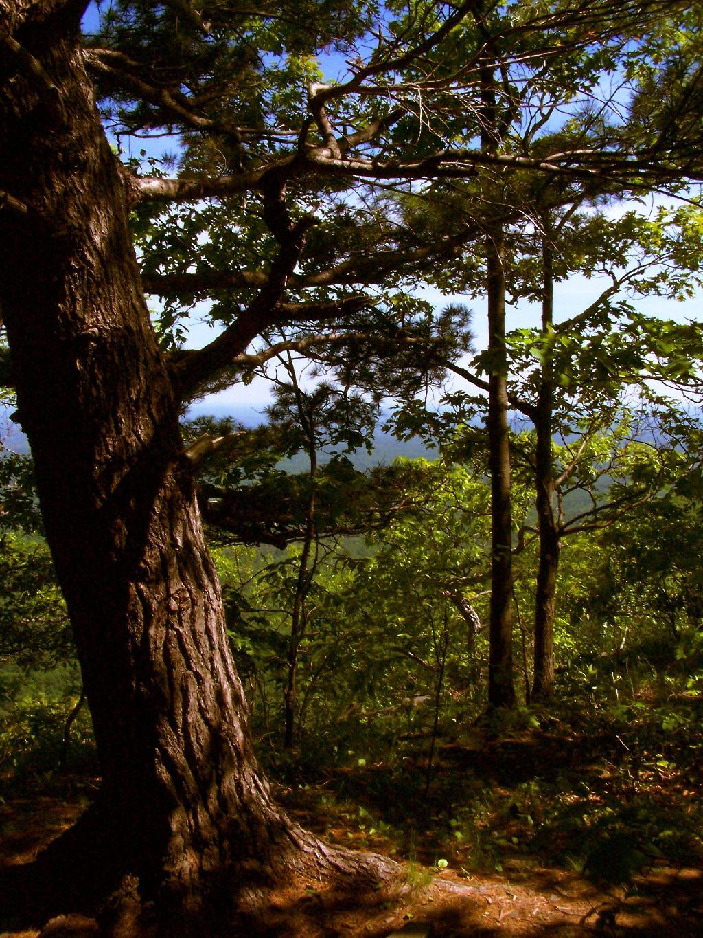
From there the trail gently goes up, with two big switchbacks. The trail to the Palenville Overlook switch-backs down about 100 feet off the old Catskill Mountain House Road, and then winds on a narrow trail about another mile to the Palenville Overlook.

Mount Airy

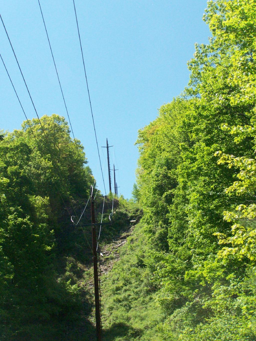
You then cross the ruins of the old inclined Otis Railroad tracks, in which all that remains are foundations. According to “AMC’s Best Day Hikes in the Catskills”, the rails and other scrap metal was sold to the War Department during World War I. By then the automobile had made this mode of obsolete as the old horse trail up the valley. All that remains is the cut on mountain, where a high-tension power wire runs.

Old Railroad Grade

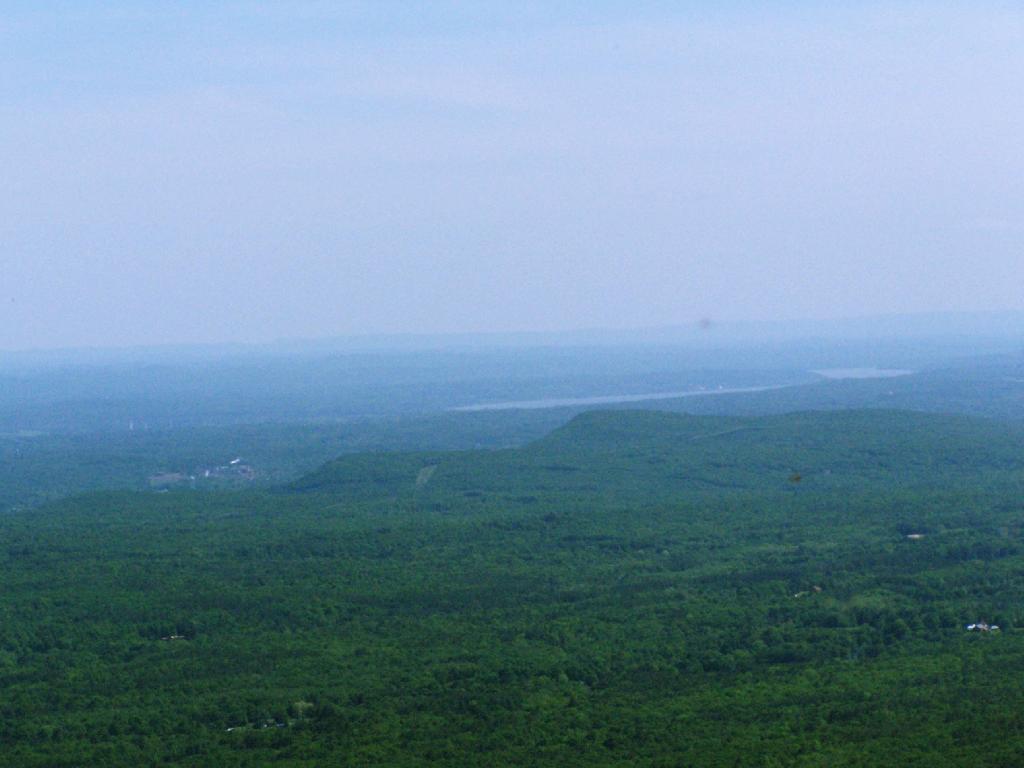
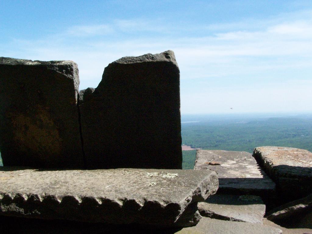
You eventually reach the Palenville Overlook. The views are amazing, although it was fairly hazy the day I went there. There are awesome stone-built chairs out of old Palenville Mountain House ruins, that provide a great place to sit with a book, as you enjoy views of the Hudson Valley looking south-east. There is another view along the escarpment of the valley somewhat to the north, that gives more due-east views.

Untitled [Expires August 4 2024]

Seat with a View

From there, I hiked back to the old Catskill Mountain House road, and up to the site of the old Catskill Mountain House ruins. I took some pictures, and then started down the mountain, when I realized I had left my hat up the Catskill Mountain House site. So I ended up backtracking, and ended up missing Memorial Day dinner at my parents house. But so be it.

Nice Day Out


View Andy Arthur – Hikes 2009 in a larger map

Hadley Mountain Firetower

This is my first hike of the year in the Adirondacks. I normally don’t go to the Adirondacks due to the length of the drive from Albany, however I wanted a break from the Catskills. Hadley Mountain has a fire tower on it, and it was a beautiful day out for the hike.

Gully

I arrived at the trail head at around 9:30 after a two hour drive from Albany, via. the Bachelorville Bridge and several Saratoga County Roads. It would have been faster to take Route 9N and the Northway, however I wanted to see some of the nearby country.

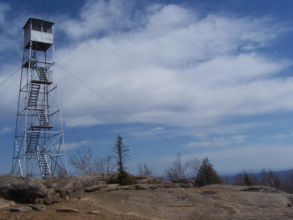
Fire Tower Secured By Guidewires

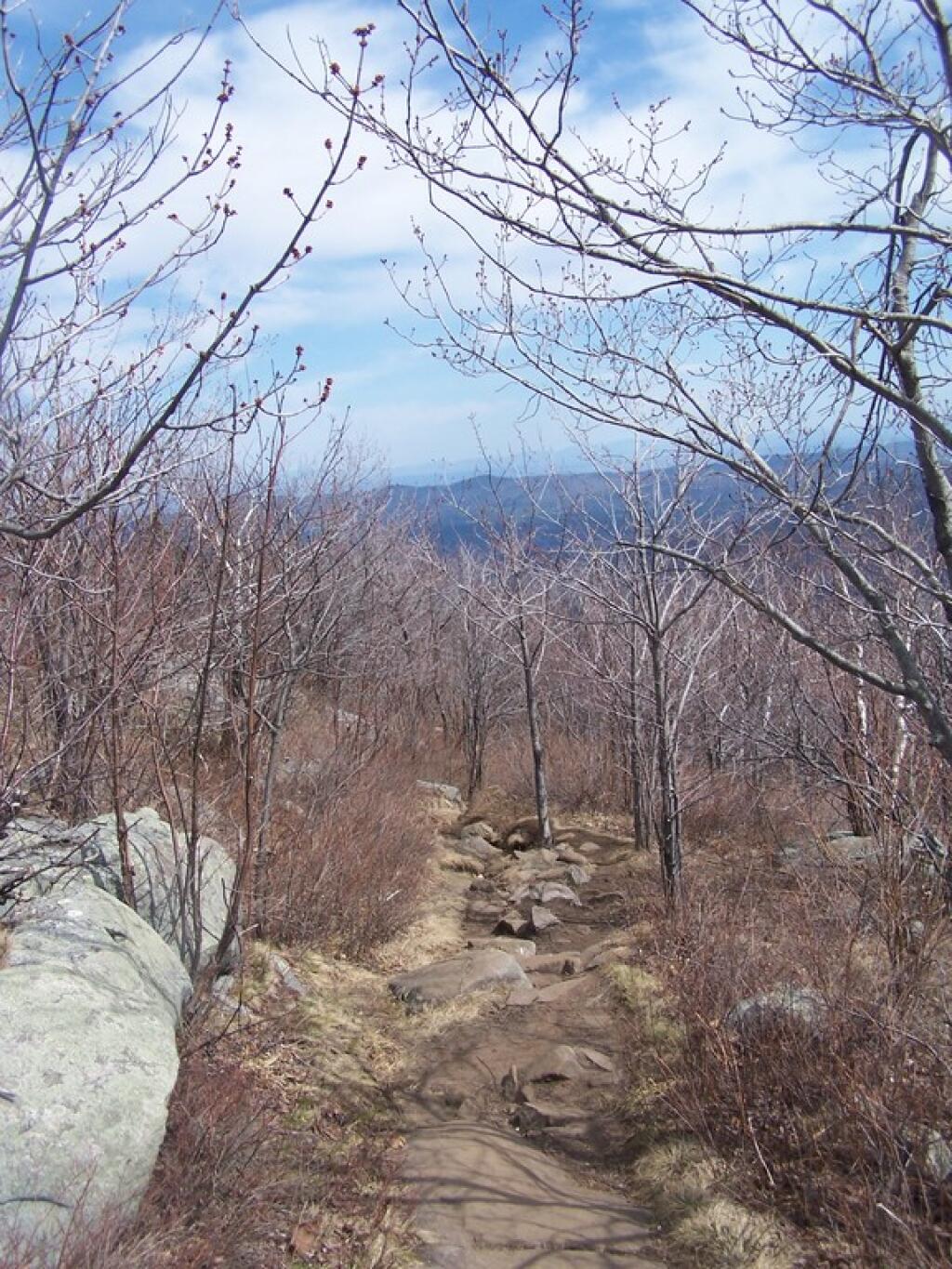
It was a relatively short hike up the mountain, with a distance of a mile and a half, and an elevation increase of 1,500 feet. Most of the trail was eroded sloping rock face. Admittedly, it was a lot more difficult on the ankles coming down then going up.

Descending the Hill

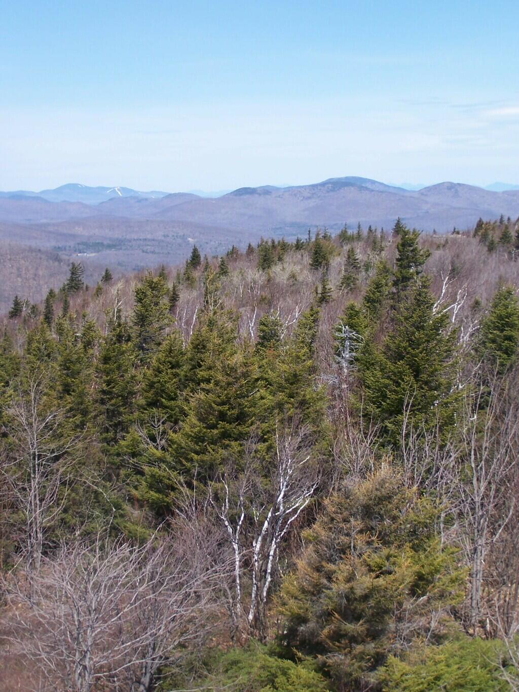
Once you arrive up top there is the Fire Tower, some open face worn down to rocks, from use, and a ranger’s cabin. The views are spectacularsome of the best from any Fire Tower around. It would be awesome to visit in the summer when everything is all green and purty.

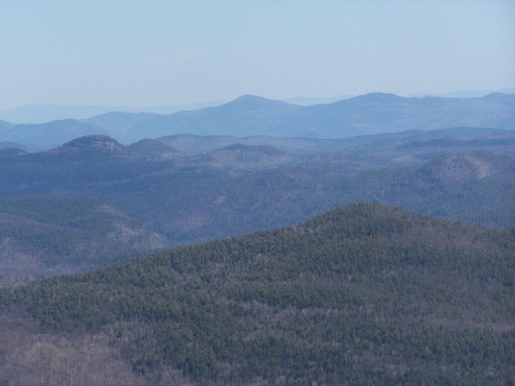
Pointed Mountains

Spent about an two hour up there, snapping photos and watching the light change. I got a pretty bad sun burn, but it was so nice and sunny out there. It was fun. I returned back to the truck around 3:30 PM.

Trees and Peaks

See more photos from this hike in the Hadley Mountain Photos Series.

Hikers – Trail Head
Blue Line – Hadley Mountain Trail
Flag – Hadley Mountain Fire Tower


View Hadley Mountain Hike in a larger map

Enjoying the Mountains