The State of New York has too much legislatively-designated wilderness, or lands designated as wilderness by the act of a bureaucrat, but not necessarily true wilderness. Legislatively defined wilderness typically has:
Remains of former logging and farm roads with graded embankments cutting into hillsides.
Former ruins of houses and barns, long burned down, but visible on the landscape.
Non-native trees and plants planted by earlier settlers.
Lands that lack old-growth timber and the diversity expected in lands not previously timbered or mined.
Many if not most wilderness parcels in New York State have old woods roads, the remains of farm fields and logging operations. While it’s certain that old growth forests and areas with unique or endangered species deserve special protections, wilderness status need not be granted so haphazardly in the park.
…generally appear to have been affected primarily by the forces of nature, with the imprint of man’s work substantially unnoticeable.
This would suggest that lands subject to timbering, agriculture, hunting camps, or other types of development in previous years should not be subject to wilderness rules.
Currently there are 1,016,979 acres of wilderness. I propose:
Capping forest preserve lands in the Adirondack Park to no more then 1 million acres.
Prohibit wilderness designation from any lands within a 1/4 mile of any public highway or intensive use area.
Requiring wilderness designation to show that any lands receiving such designation are truly untrameled by man and are authentic wilderness — such as old growth or close to at least hundred year or older forests.
Reclassify all lands above the 1 million mark as Wild Forest.
It’s pratically impossible to repeal existing lands with wilderness overlays, and convert them back to wild forest. Wilderness forever locks up land and limits what the public can use the land for. Therefore, there should be no material increase in wilderness ever again in our state.
Capping wilderness would have both strengthen the concept of wilderness in our state and improve the wilderness quality and scenic beauty. Capping wilderness at a certain level would have the following benefits:
Limit wilderness area would concentrate the wilderness designation to the most environmentally significant areas — such as old growth forests and the High Peaks.
Ensure that wilderness designation not be applied to places where it’s not appropriate.
Concentrate enforcement of wilderness designation to this limited 1 million acres within the Adirondack Park.
We already cap snowmobile trails and roads at their 1972 limits in the Adirondack Park’s State Land Master Plan. Even if the state obtains new parcels of lands, there can be no net increase in road milege, even if the lands increase. For the sake of fairness, we should also cap wilderness growth, or at least repeal the existing arbitrary caps on roads and snowmobile trails.
… excessive wilderness protections makes NO sense in public lands that where traditonal timber lands once stood.
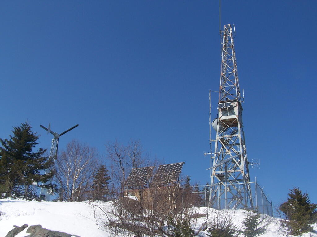
Black Mountain is the tallest peak between Lake George and Lake Champlain and contains an old fire tower that is currently used by the DEC Forest Rangers for communications equipment. It’s elevation is 2,640 feet, however accessing it from Pike Brook Road Parking area, your already at over 1,700 feet after driving up the very scenic Huletts Landing Road from NY 22.
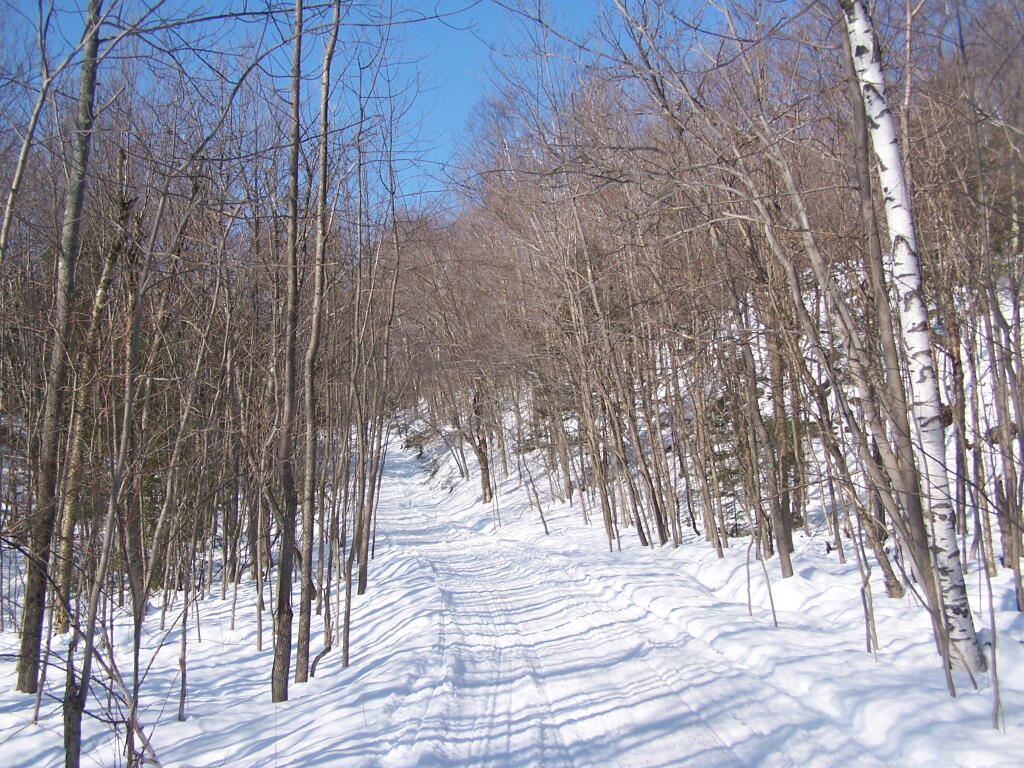
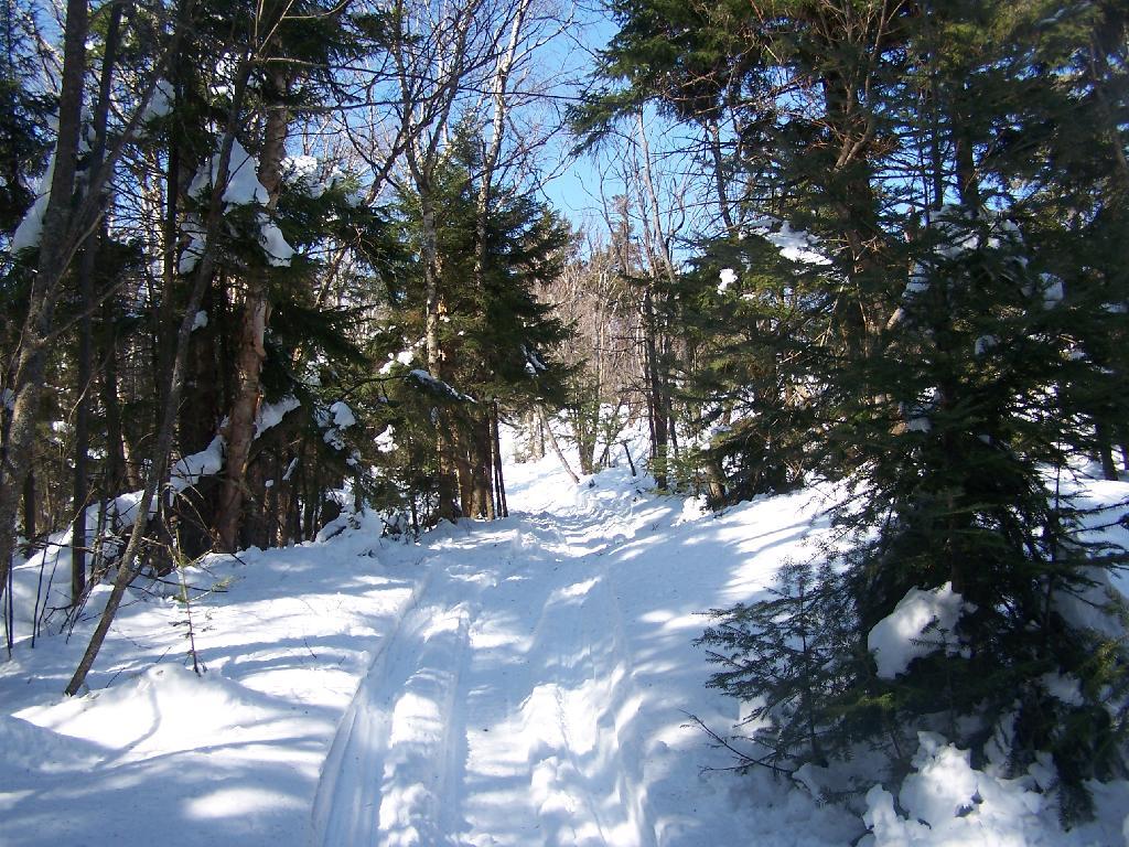
In the winter, the old woods road up Black Mountain is also a low-speed and narrow snowmobile trail that has occassional snowmobiles on it. At 3 miles, it’s a relatively short hike with an elevation gain of about 900 feet.
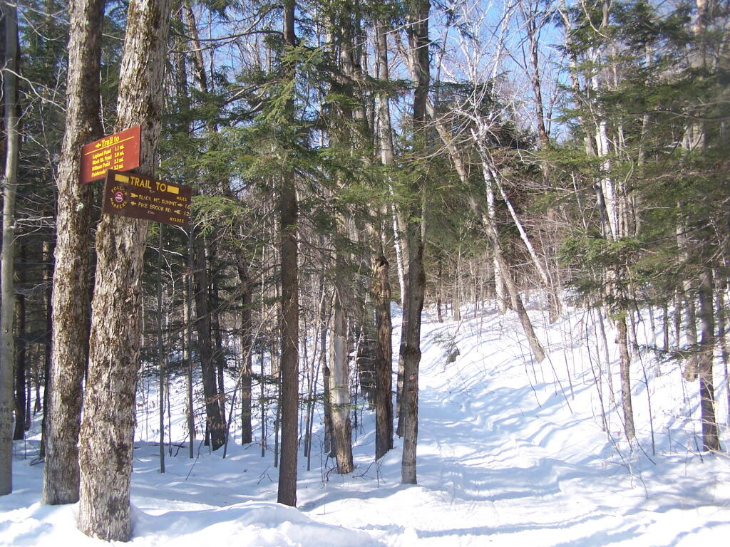
The first 1.2 miles up the mountain the trail is relatively flat. After the split between the valley trail to Black Mountain Pond and other lakes running down towards Lake George, and the trail up Black Mountain Fire Tower. The next 1.6 miles is much steeper, as the trail winds up the mountain following a Jeep Trail with many switchbacks.
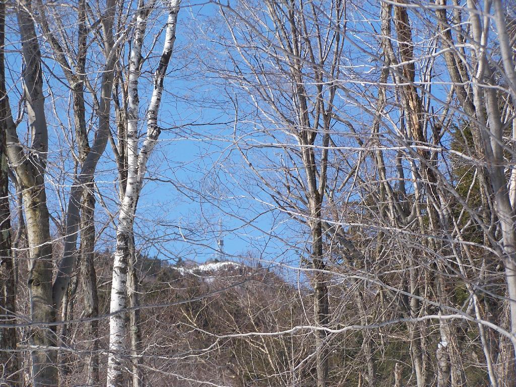
As you start climbing, you get a broken view of the fire tower on top of Black Mountain.
The snowmobile / old woods trail is narrow and steep as it winds up to the top of the mountain.
Reaching the top of the mountain, you can see the DEC Forest Ranger Communication Tower, with wind turbine, solar panel, and fire tower converted to communications tower. It’s disappointing that they had to convert the tower to a communications tower, because it would have otherwise provided nice views to the south.
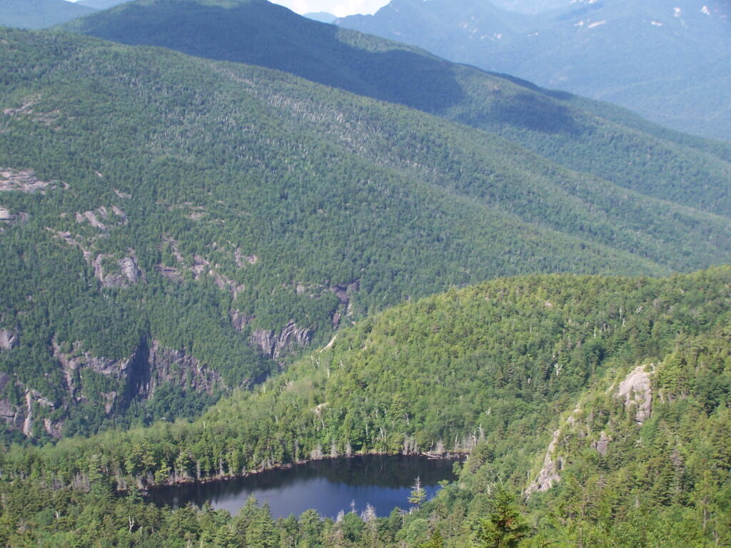
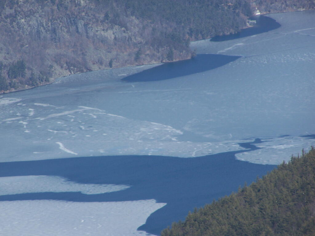
Looking across Lake George towards Five Mile Mountain and the Adirondack Mountain in the distance.
North on Lake George. In the foreground is Hague, farther in the distance is Elphant Mountain, the end of Lake George and the La Chute River down pass Ticonderoga.
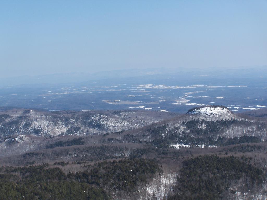
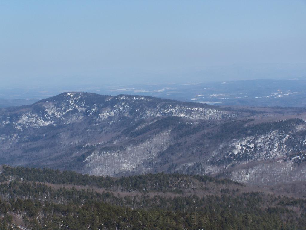
Looking to the North-West off Black Mountain. In the foreground is Sugar Loaf Mountain, and just beyond that is the “Drowned Lands”, the marshy farm lands surrounding the southern portion of Lake Champlain. Even further beyond that is the Green Mountains in Vermont.


")