Black Mountain is the tallest peak between Lake George and Lake Champlain and contains an old fire tower that is currently used by the DEC Forest Rangers for communications equipment. It’s elevation is 2,640 feet, however accessing it from Pike Brook Road Parking area, your already at over 1,700 feet after driving up the very scenic Huletts Landing Road from NY 22.
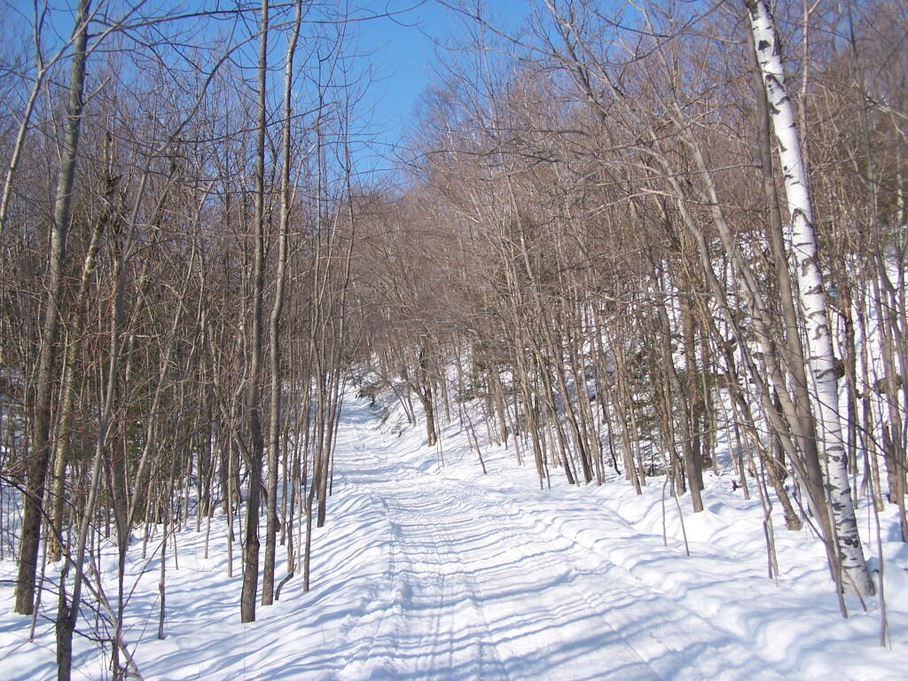
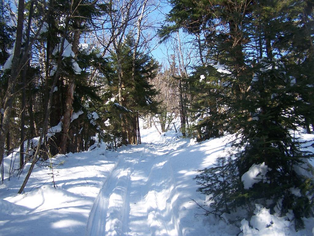
In the winter, the old woods road up Black Mountain is also a low-speed and narrow snowmobile trail that has occassional snowmobiles on it. At 3 miles, it’s a relatively short hike with an elevation gain of about 900 feet.
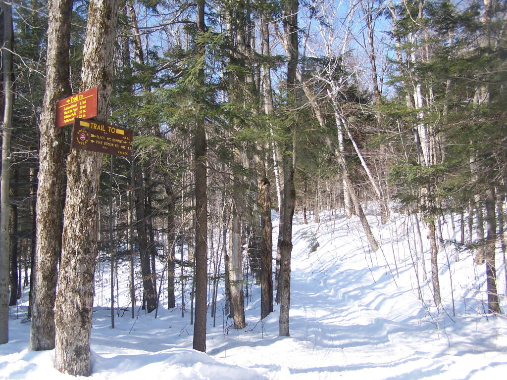
The first 1.2 miles up the mountain the trail is relatively flat. After the split between the valley trail to Black Mountain Pond and other lakes running down towards Lake George, and the trail up Black Mountain Fire Tower. The next 1.6 miles is much steeper, as the trail winds up the mountain following a Jeep Trail with many switchbacks.
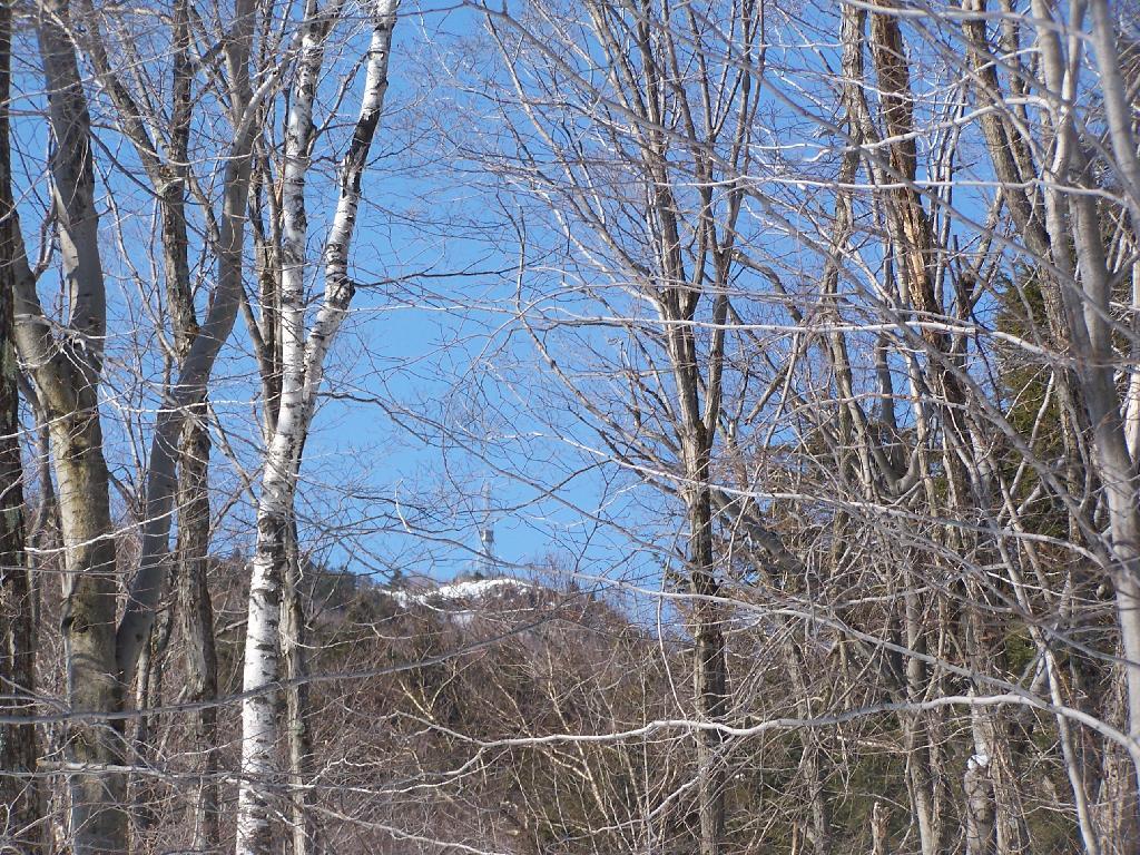
As you start climbing, you get a broken view of the fire tower on top of Black Mountain.
The snowmobile / old woods trail is narrow and steep as it winds up to the top of the mountain.
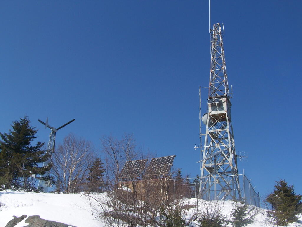
Reaching the top of the mountain, you can see the DEC Forest Ranger Communication Tower, with wind turbine, solar panel, and fire tower converted to communications tower. It’s disappointing that they had to convert the tower to a communications tower, because it would have otherwise provided nice views to the south.
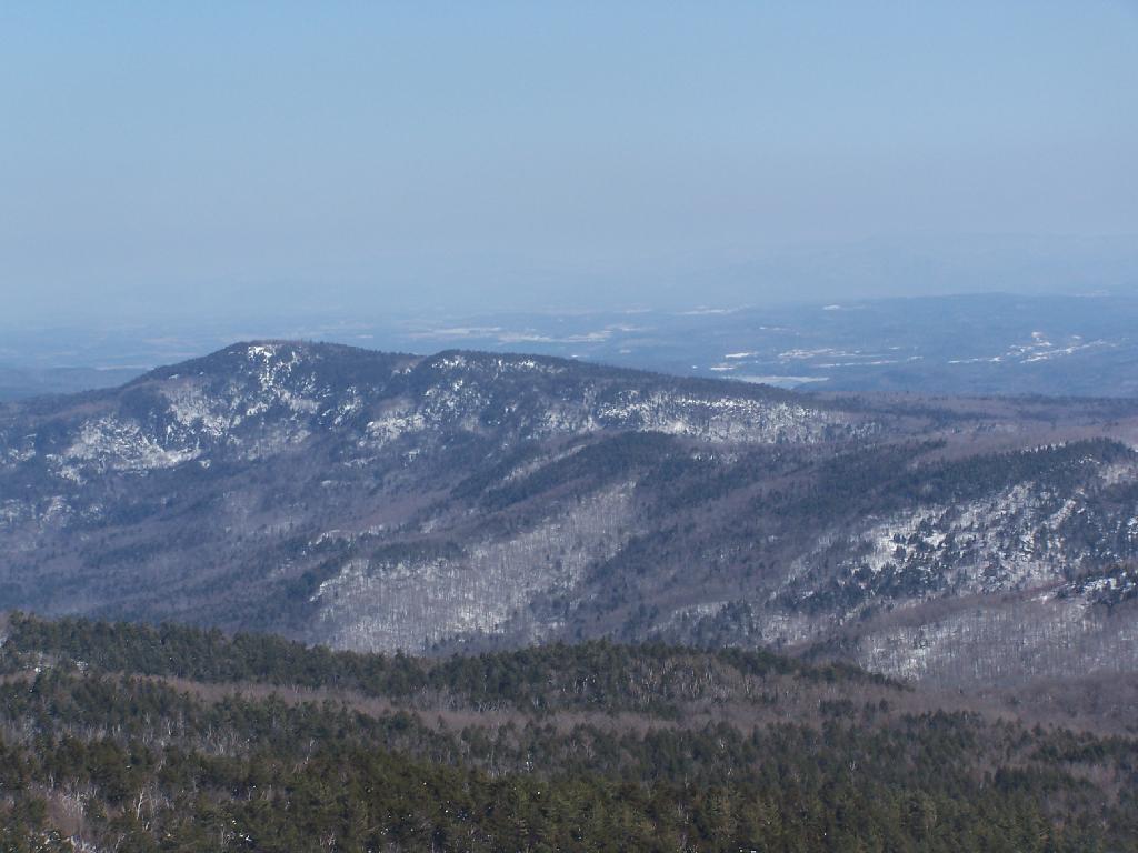
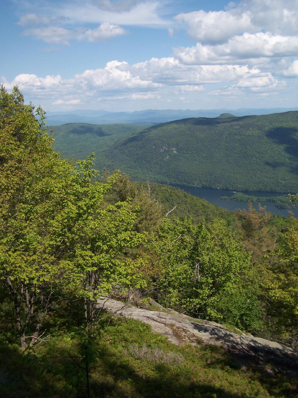
Looking across Lake George towards Five Mile Mountain and the Adirondack Mountain in the distance.
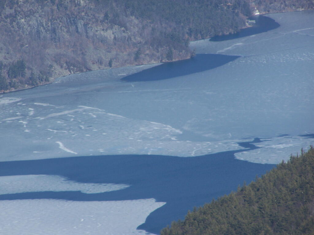
North on Lake George. In the foreground is Hague, farther in the distance is Elphant Mountain, the end of Lake George and the La Chute River down pass Ticonderoga.
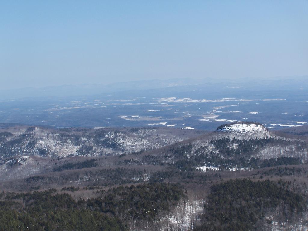
Looking to the North-West off Black Mountain. In the foreground is Sugar Loaf Mountain, and just beyond that is the “Drowned Lands”, the marshy farm lands surrounding the southern portion of Lake Champlain. Even further beyond that is the Green Mountains in Vermont.
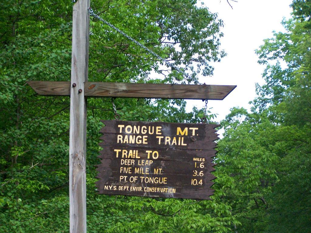
I got up at 5 AM on Saturday and headed off to the Tongue Mountain Range. I arrived there around 8 AM, because I made several stops on the way up, and didn’t really get in my truck until 6:30 after getting ready and having breakfast.
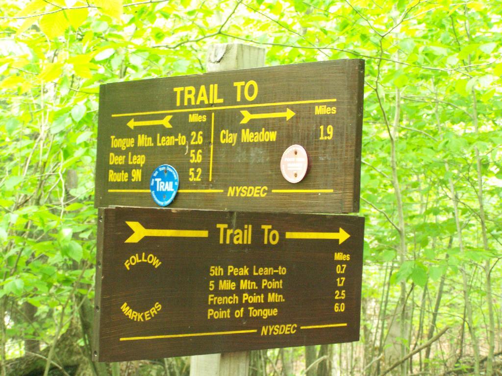
I wanted to hike up Fifth Peak and French Mountain, famous for their views of Lake George, but I ended up hiking up Five Mile Mountain, as I parked at the wrong area based on my faulty memory of where the trail head was, based on a brief drive by some three years ago back in college.
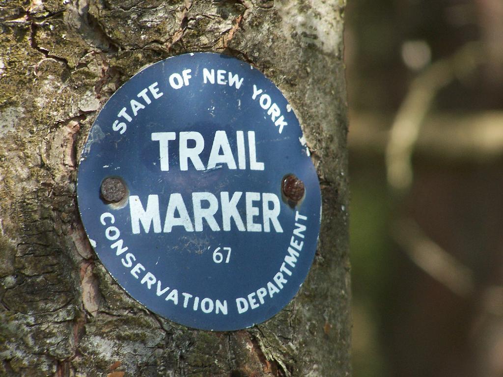
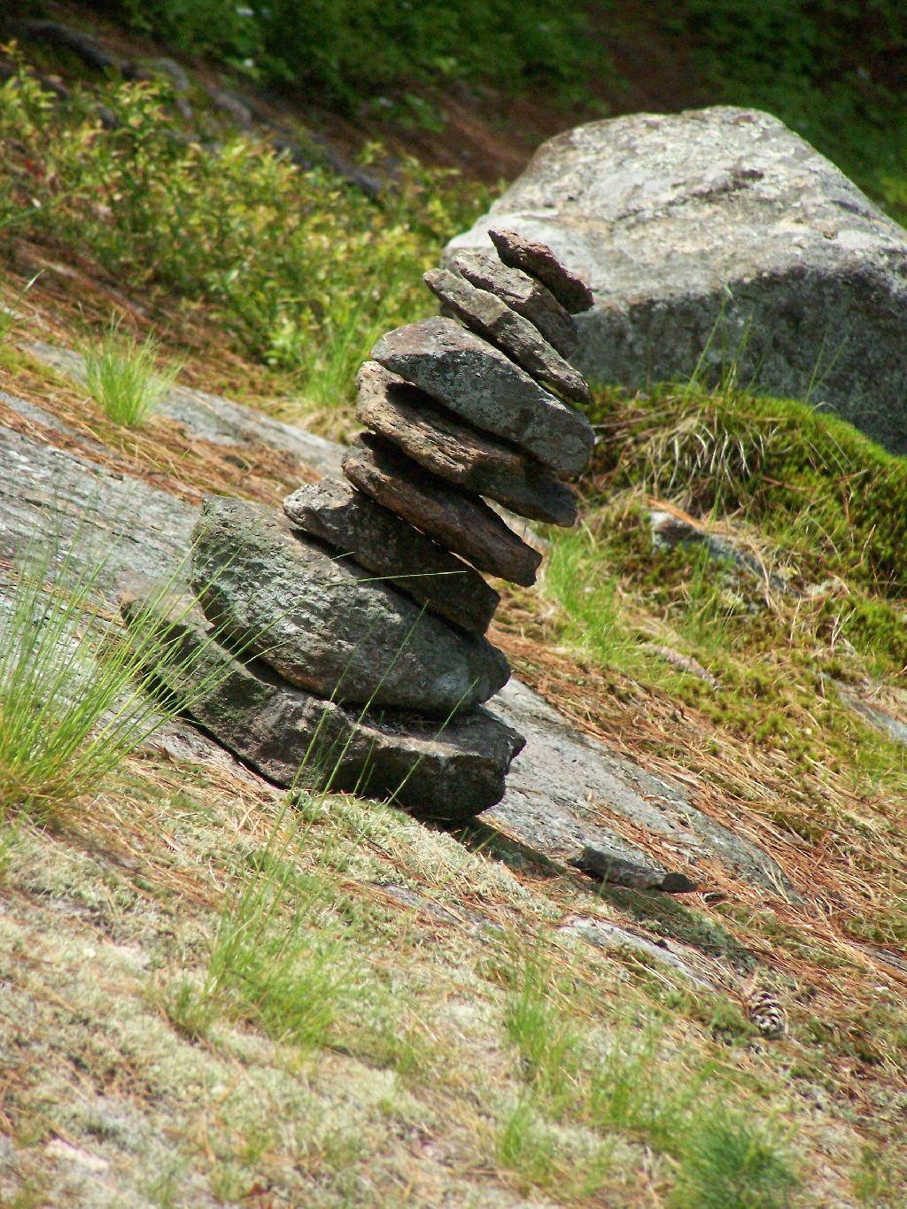
The markers on the trail where old, but it was well marked with these 1967-era trail markers and carins.
Lake George can be seen off one view from Brown Mountain. It was raining as I hiked up there.
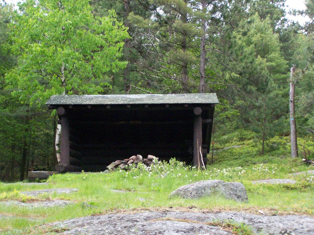
I was fortunate enough to make it up to the Five Mile Leanto before the sky just opened up and started to pour.
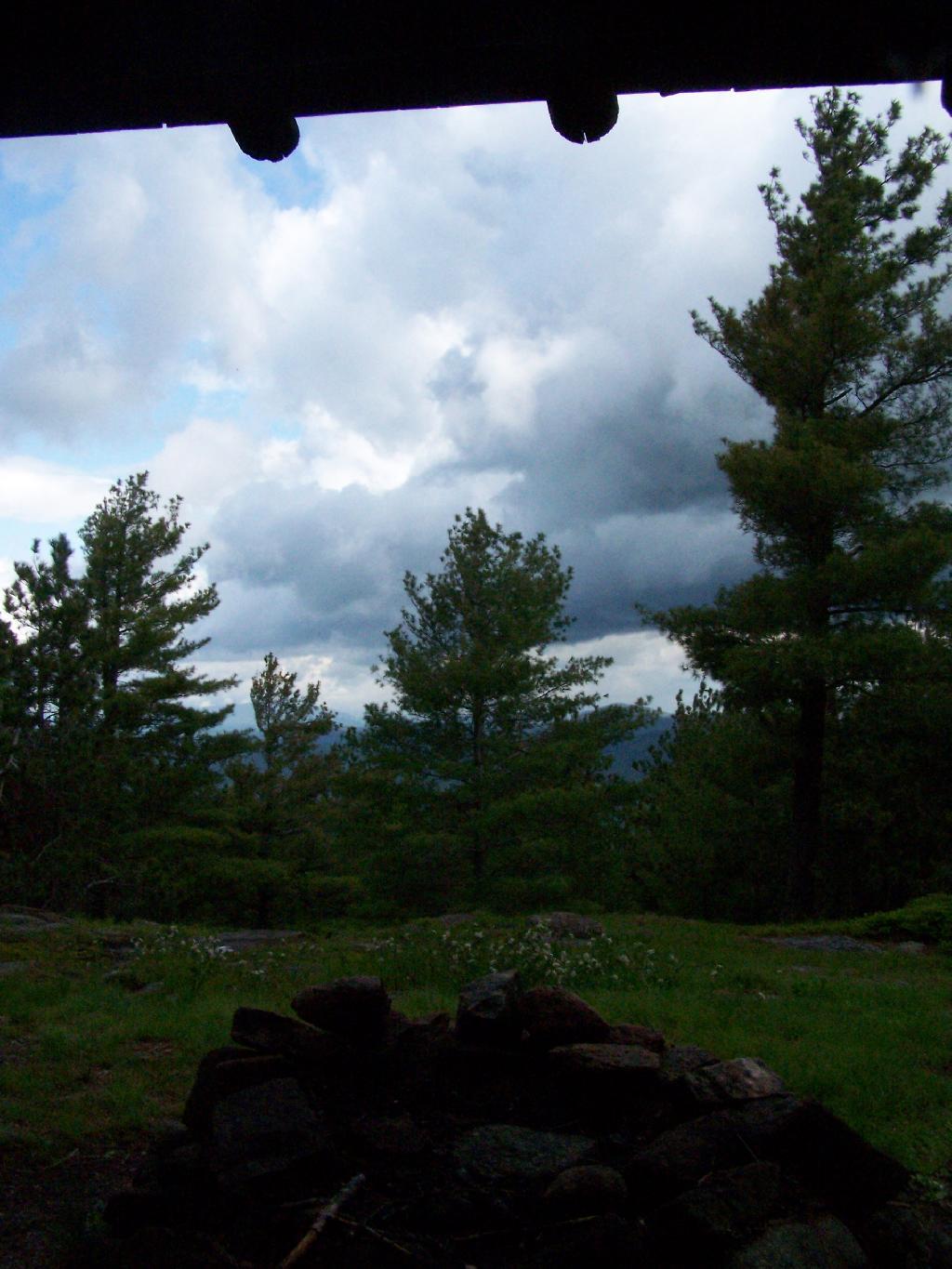
Sitting in the lean to watching as the rain rapidly approached me. This lean-to was not well thought out as it faces due west. But it must have good views of the sunset. Maybe some night I should stay up here.
Fortunately the rain passed relatively quickly.
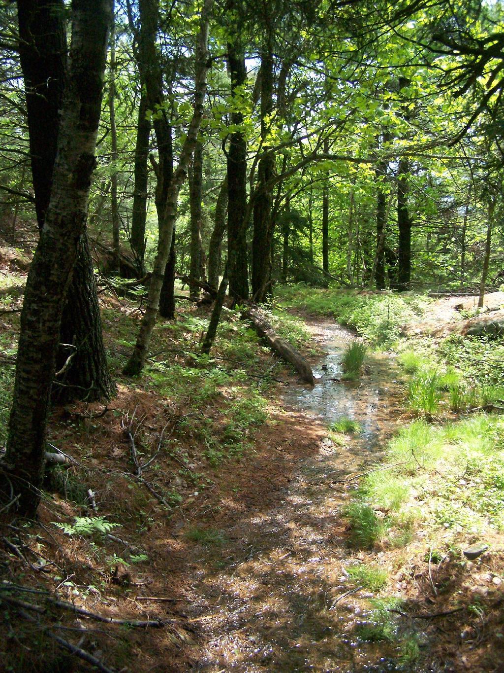
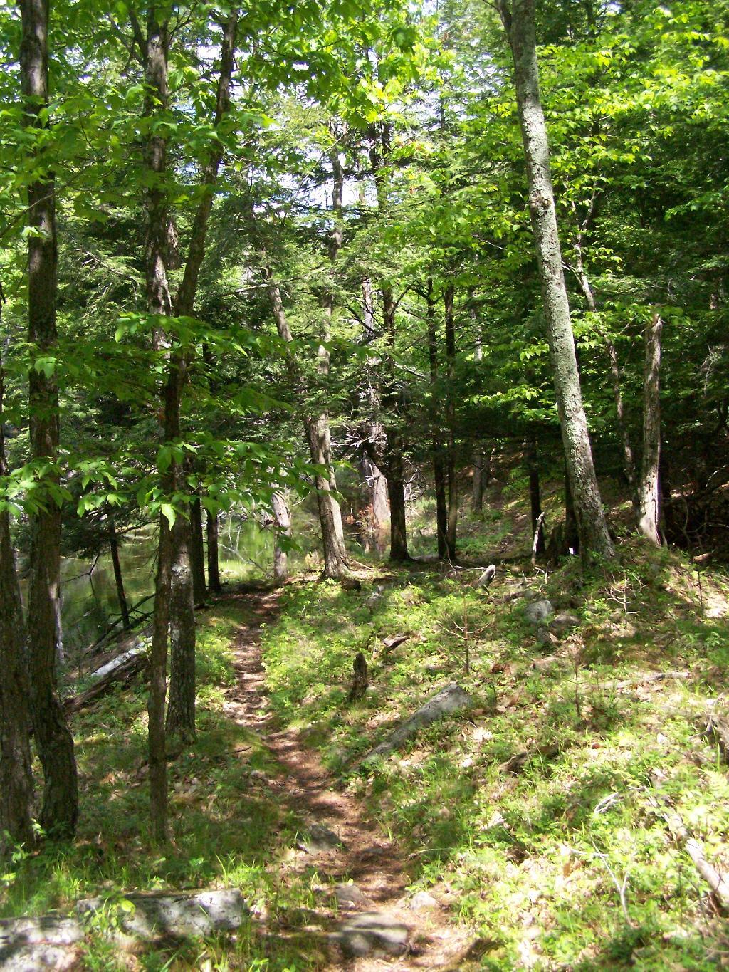
But it left the trail fairly swampy in parts.
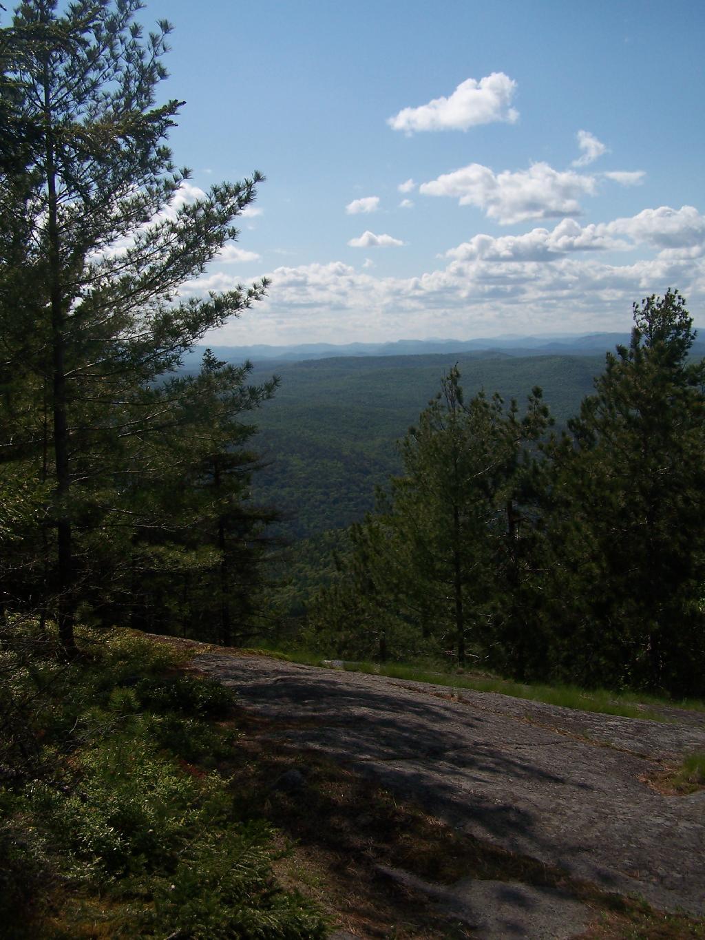
The trail from Five Mile Mountain has some limited views to the east over Lake George. It was still cloudy when reached this point around 10 AM but was starting to clear out.
You descend down Five Mile Mountain come to the intersection of the trail to Fifth Peak and French Mountain.
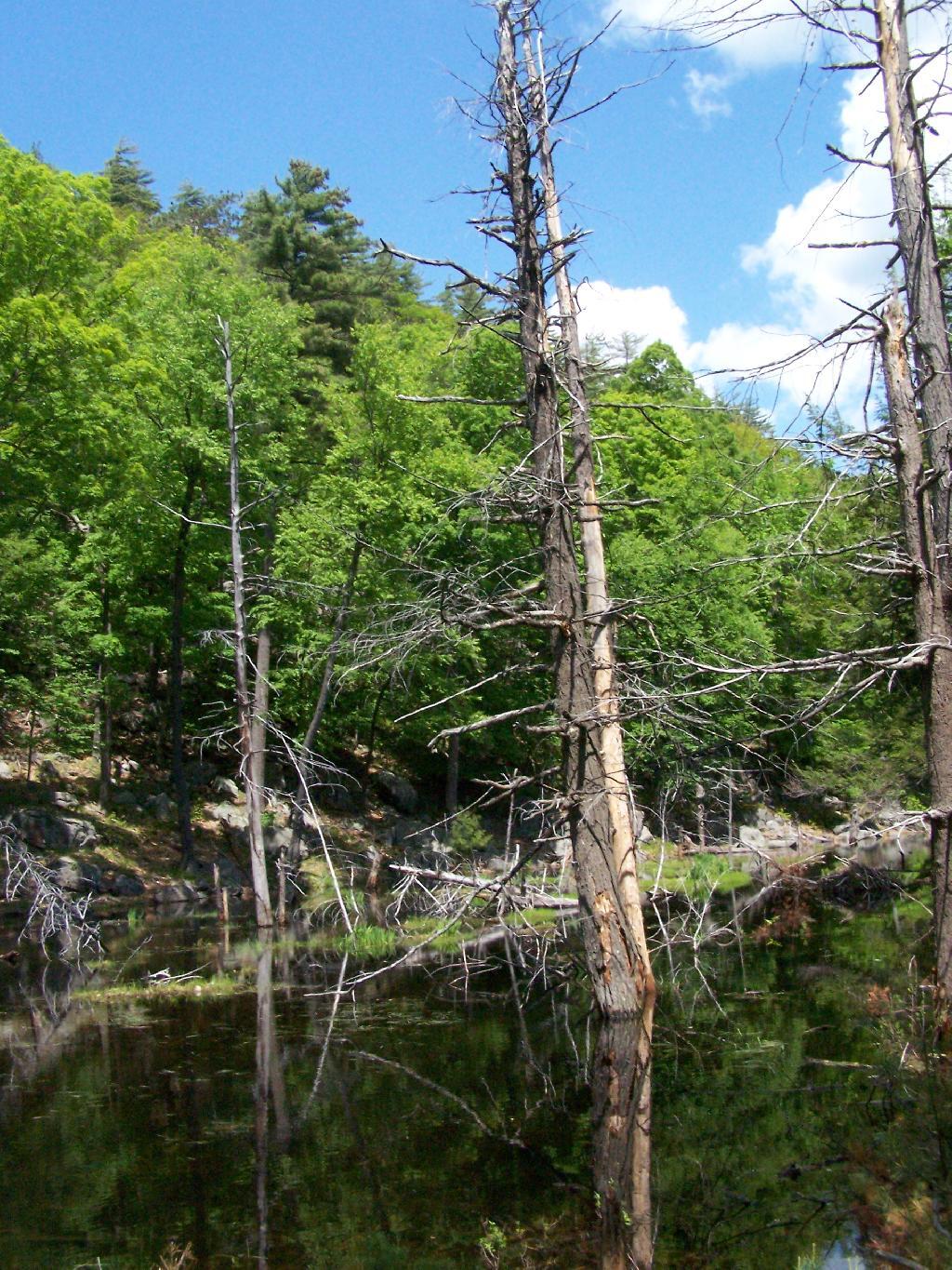
After you get on the trail to descend down to Five Mile Point, you go past a long and skinny portion of creek dammed up by beavers.
Descended down to Five Mile Point and had lunch along Lake George. It’s a relatively steep and long descend down to Five Mile Point, and it continues to be steep until you get down to the shore. Not a perfect place for a picnic, but still pretty.
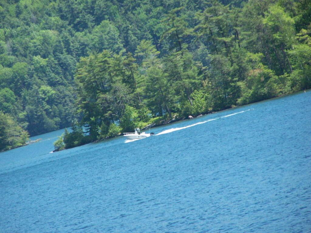
Here’s a boater passing by an island on the other side of Lake George.
The trail back up from Five Mile Point was an old-wagon road, probably abandoned for 100 years now. It’s a steep climb back up it.
The views back atop of Five Mile Mountain where amazing, once it cleared out with just a few clouds remaining.
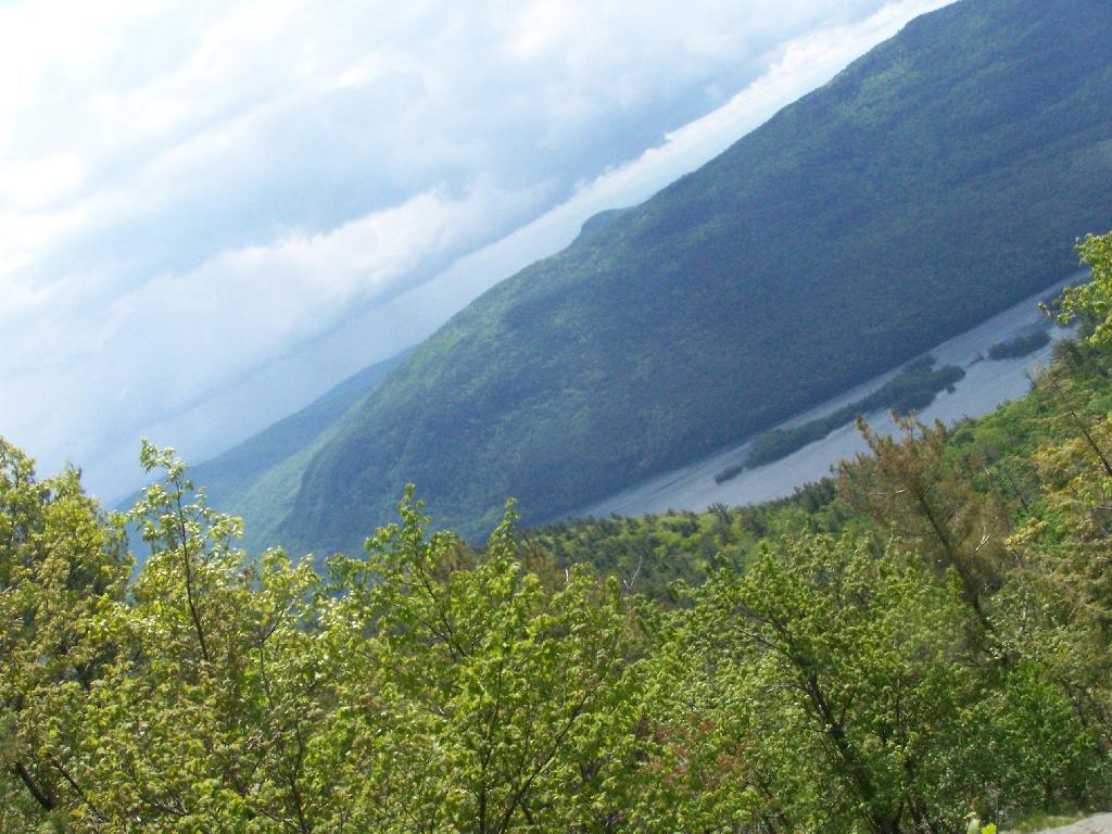
It cleared out by the time I was back up on Five Mile Mountain. There is Lake George, Bear Mountain on the other side, and the Green Mountains and Vermont in the distance.
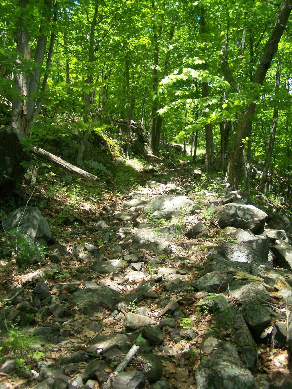
Hiking along the trail…
The view from the lean-to when the weather is a bit nicer.
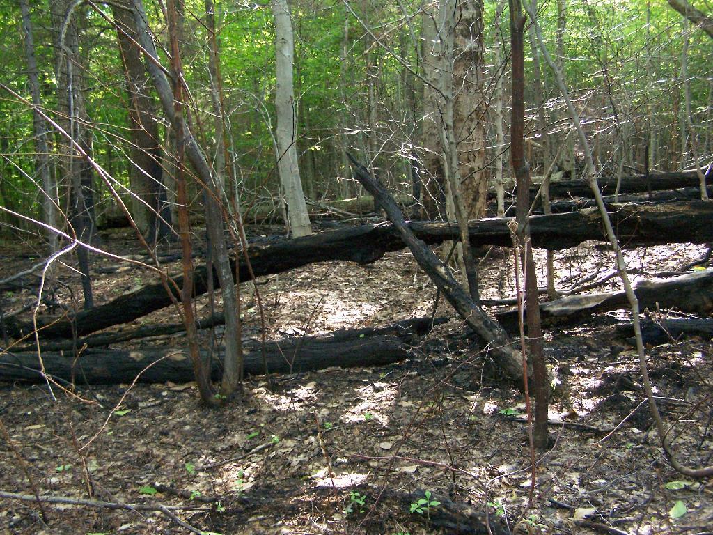
Near where the trail splits off to go over to Deer Point (which I did not visit), there was a serious forest fire in 1985. It was one hell of a fire, as witnessed from the damage from almost 25 years ago.
I arrived back at my truck around 5:30 PM, a bit tired and sore. But the views where great!