The problem is, for many New Yorkers, the largest and most interesting parcels — the Catskill Forest Preserve, the Adirondack Forest Preserve, larger state forests like Brookfield Horse Camp, Brashier Falls, Tug Hill State Forest, Sugar Hill, are all a long drive from where they live.
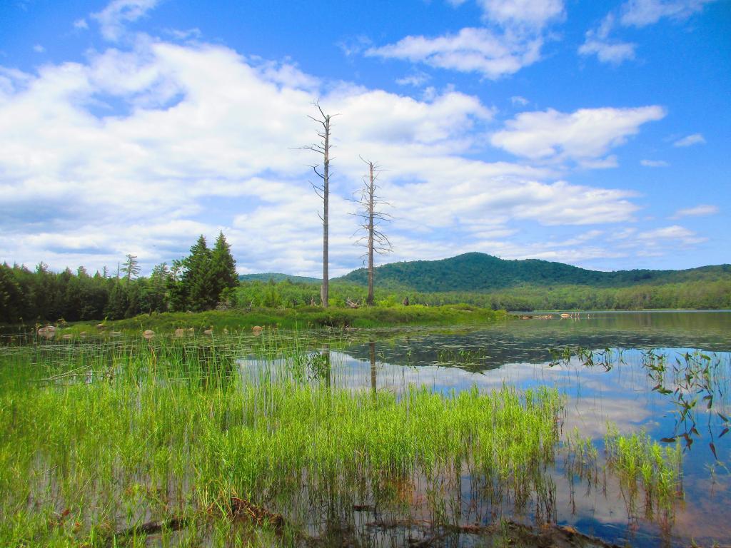
This map shows the town population versus the location of state forest and forest preserve lands that are popular for hiking, camping, fishing and hunting. I did not include state parks. Note how unpopulated most areas are with large state forests.
To demostrate how dramatic this is, take a look at a map of urbanized or otherwise developed areas of New York State based on Landstat data. Yellows are suburban areas, while reds are urbanized downtowns with few trees or forest — the kind of people you would think would most likely want to spend time in the woods.
Maybe we don’t want lots of urban folks coming to the state forests. Maybe there remoteness keeps people away. Yet, it shows the large disconnect from large public lands and the population centers across our state.
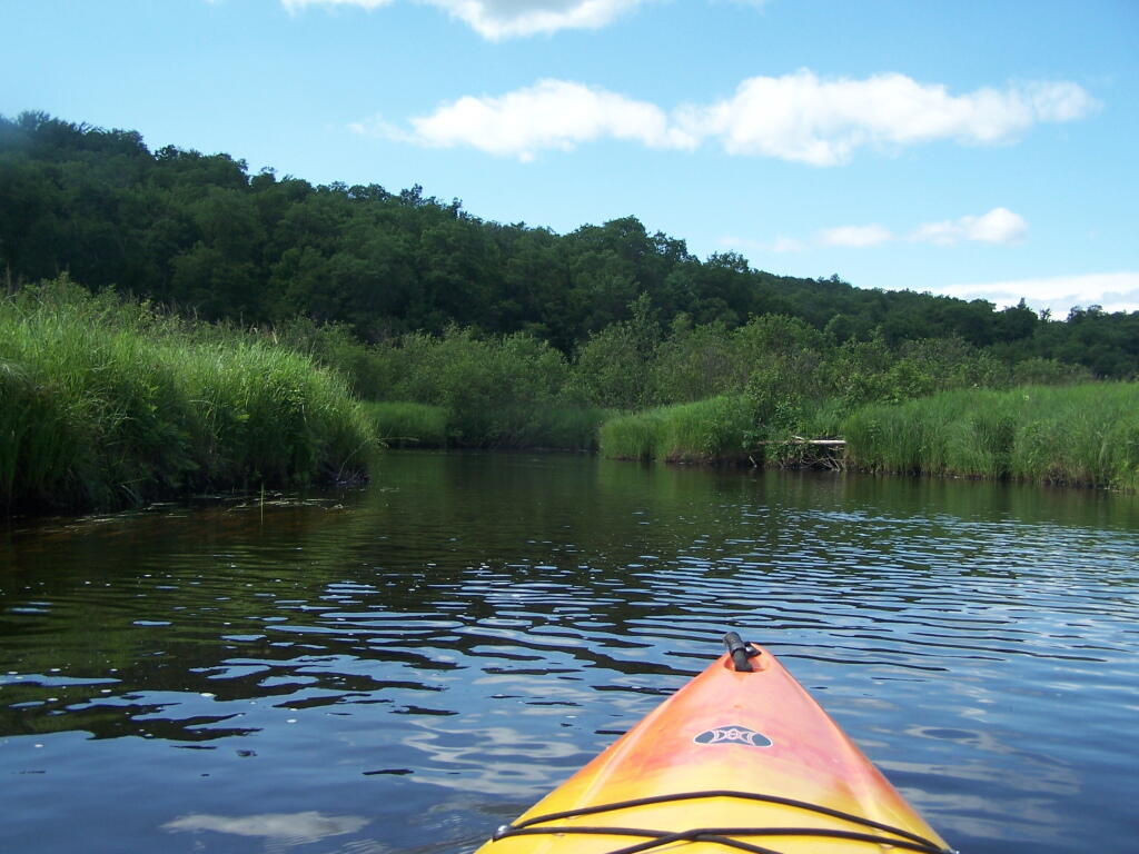
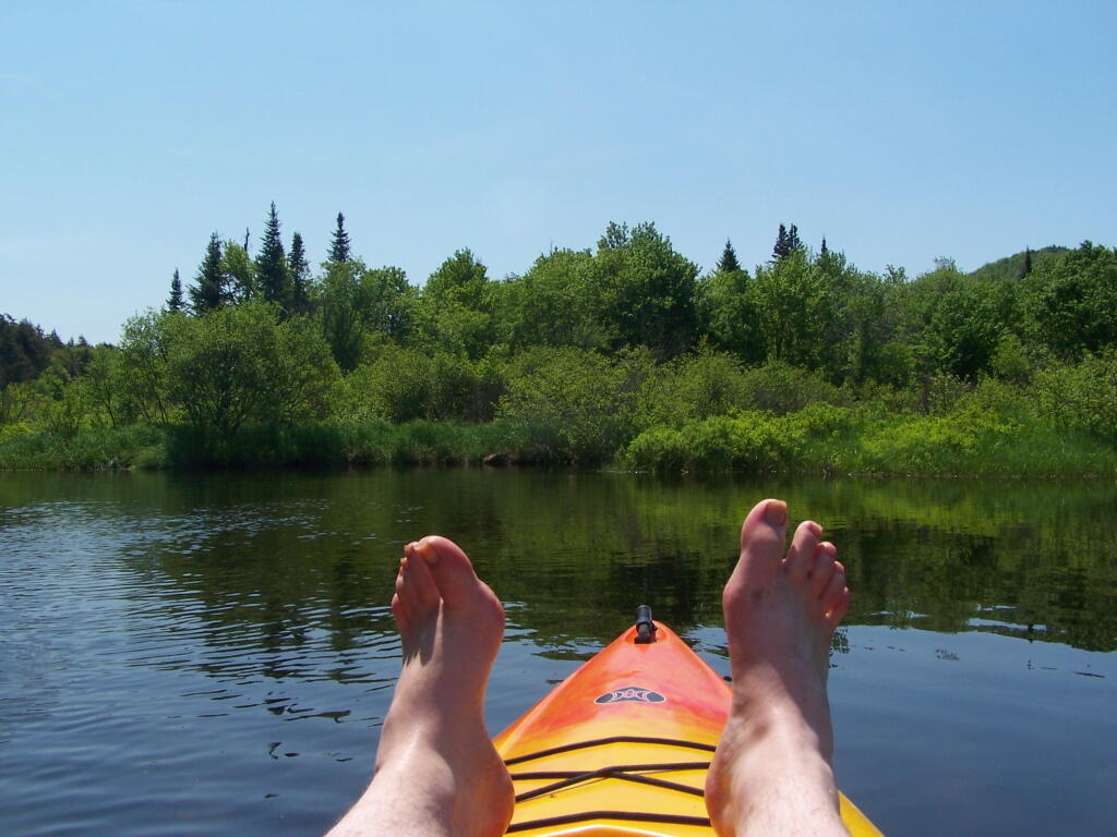
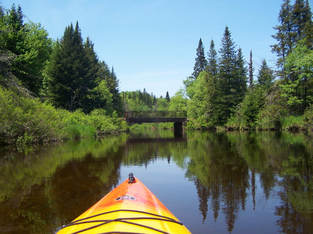
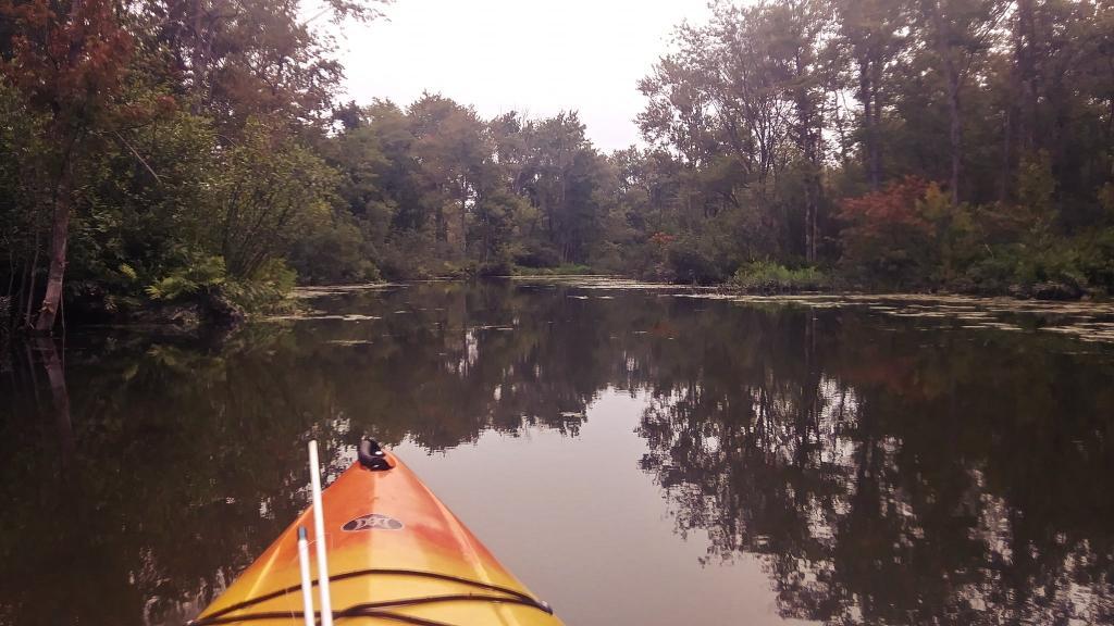
The Little River offers some interesting kayaking opportunities, and can be part of a roadside camping experience at Streeter Lake in Aldrich. Here is a map, you can click to expand and print up.
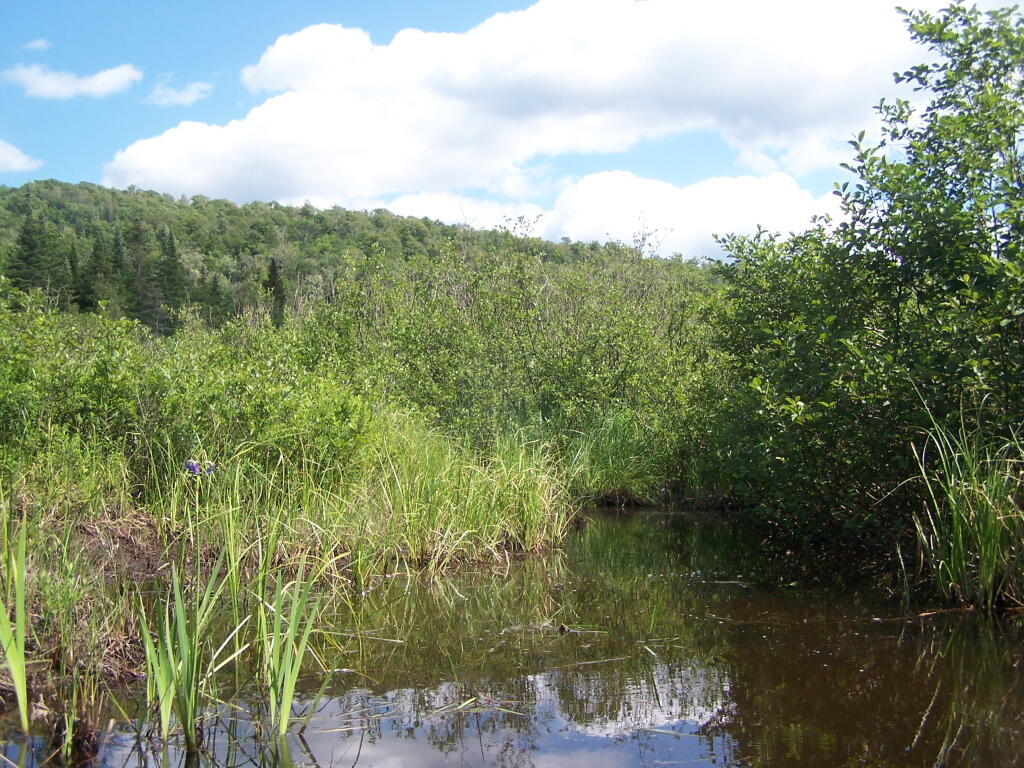
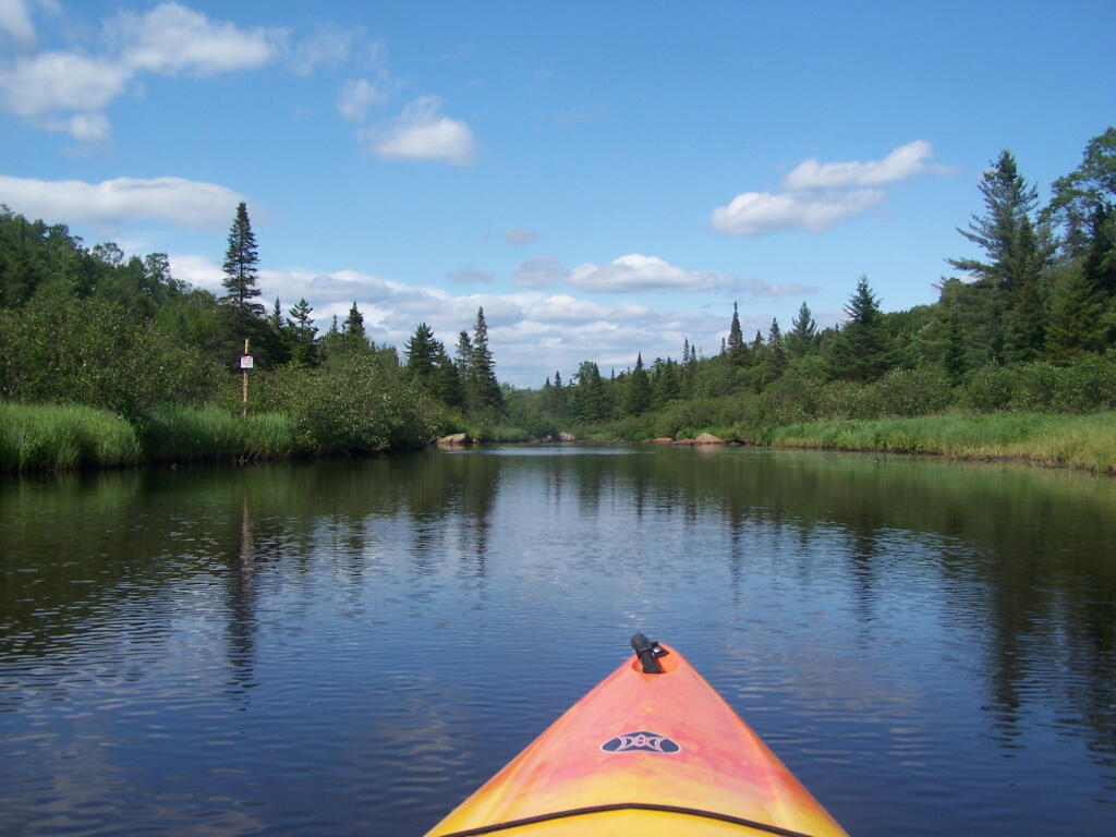
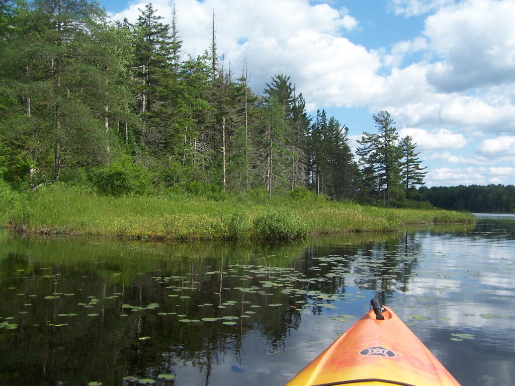
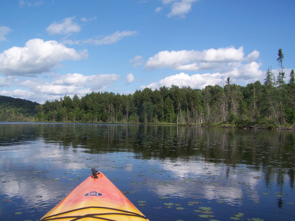
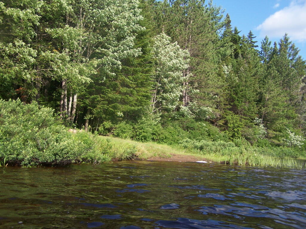
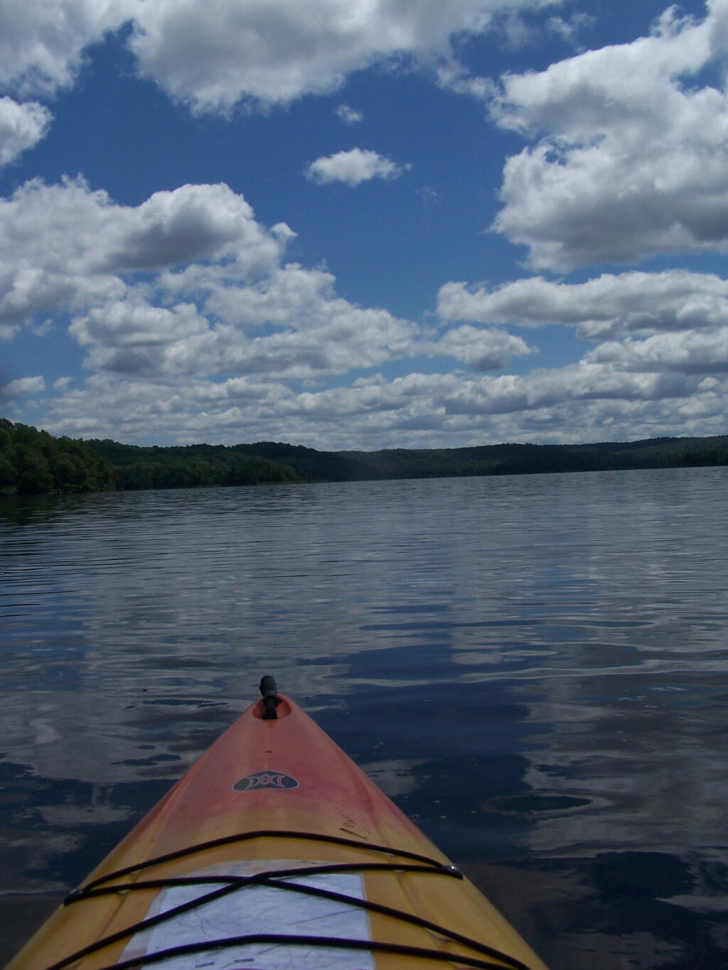
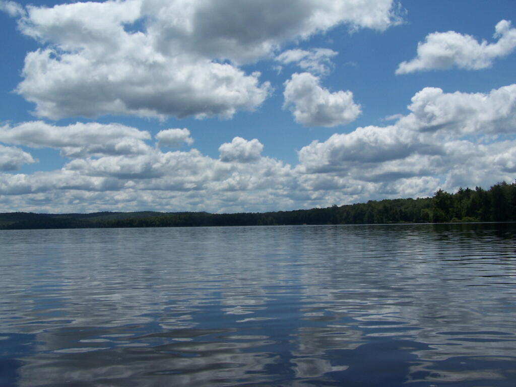
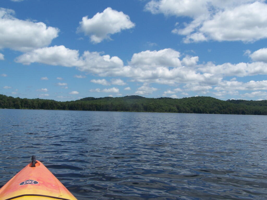
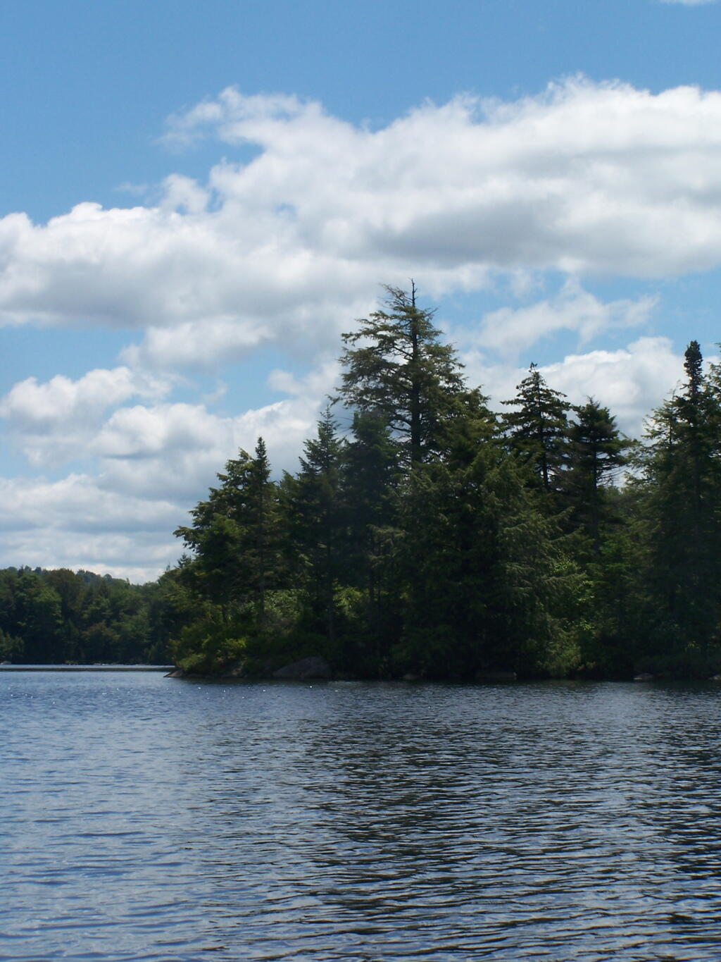
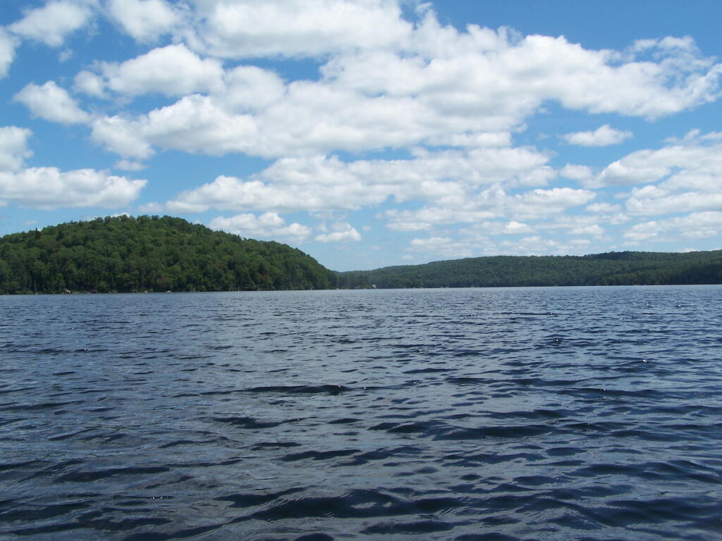
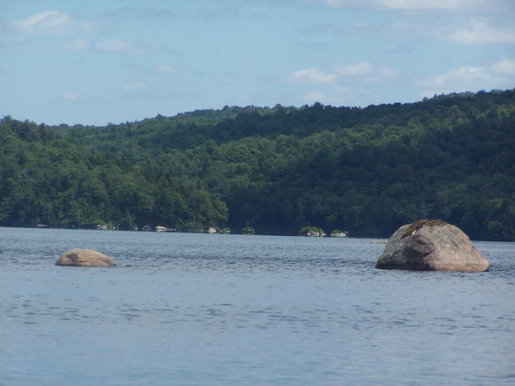
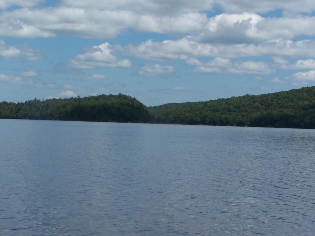
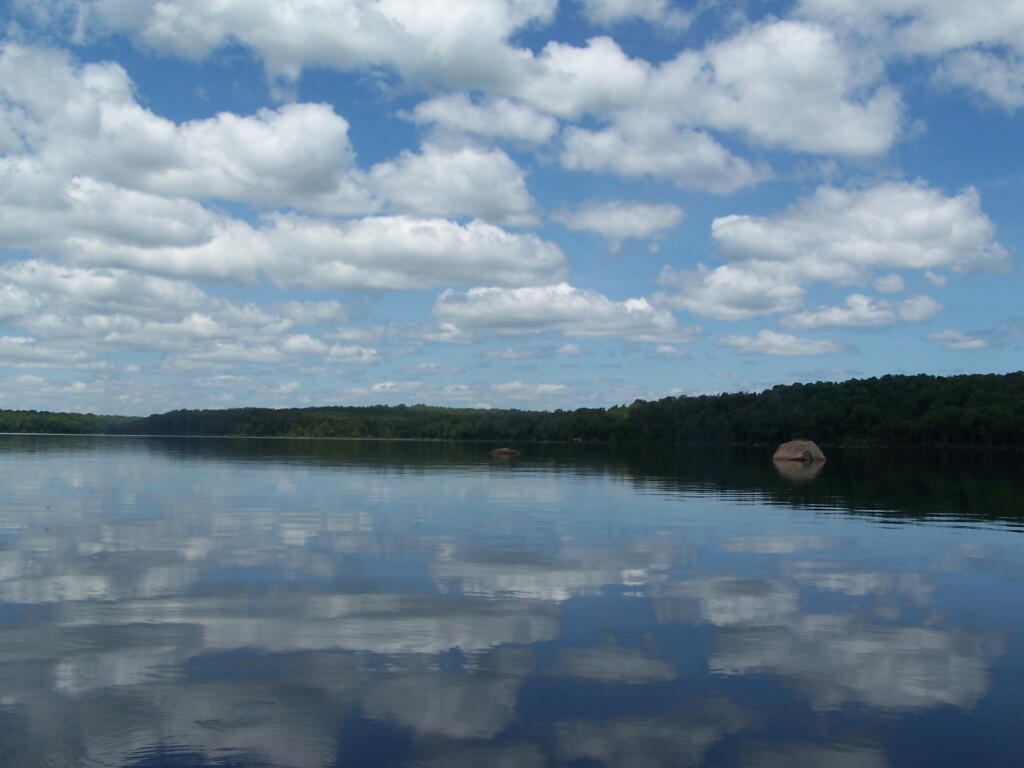
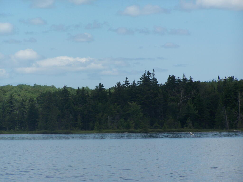
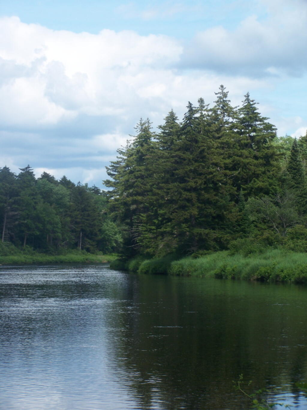
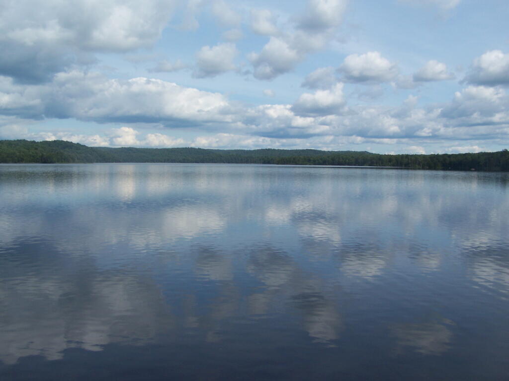
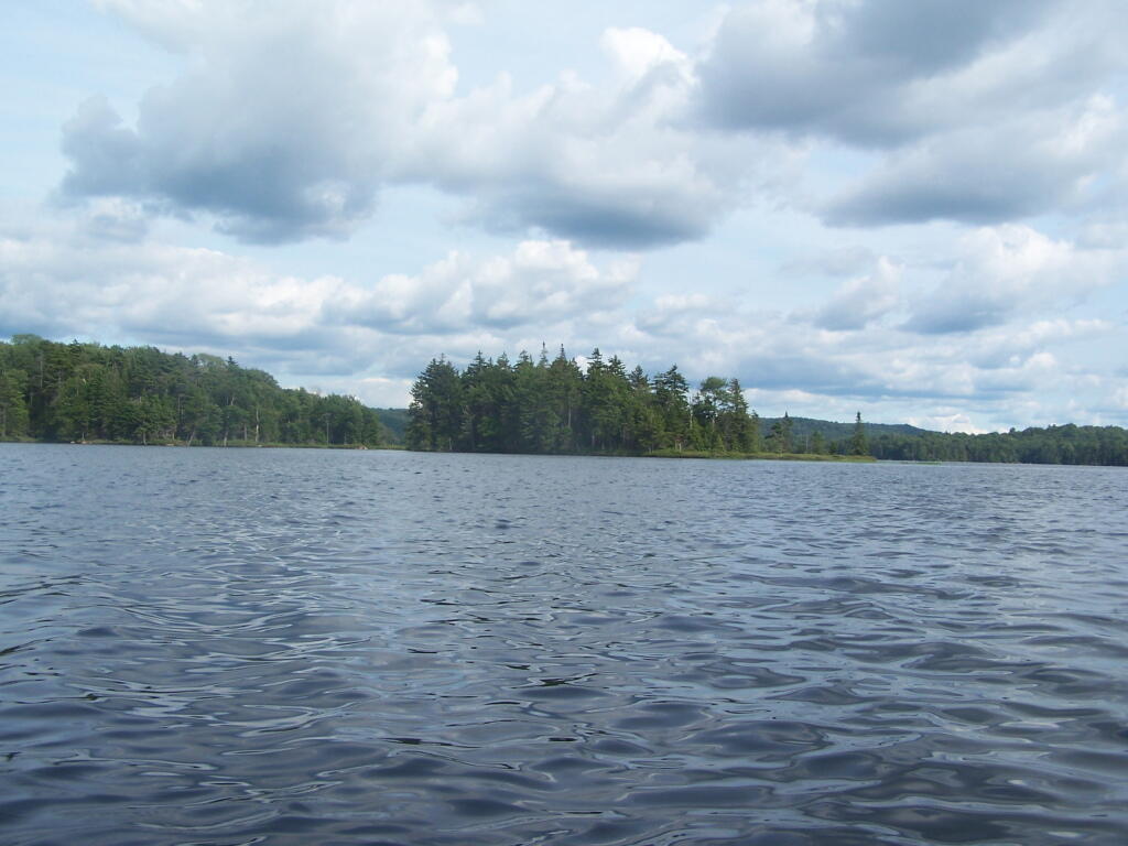
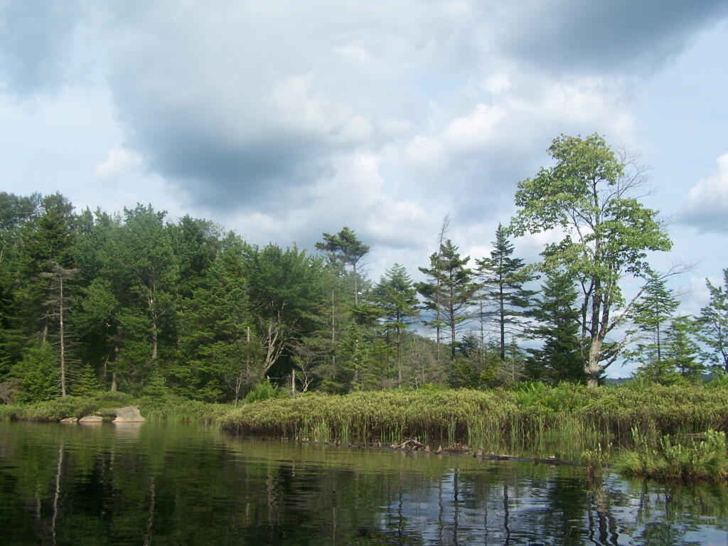
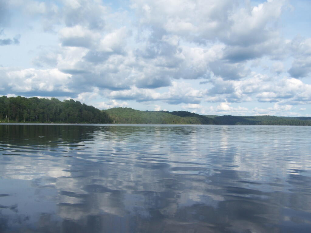
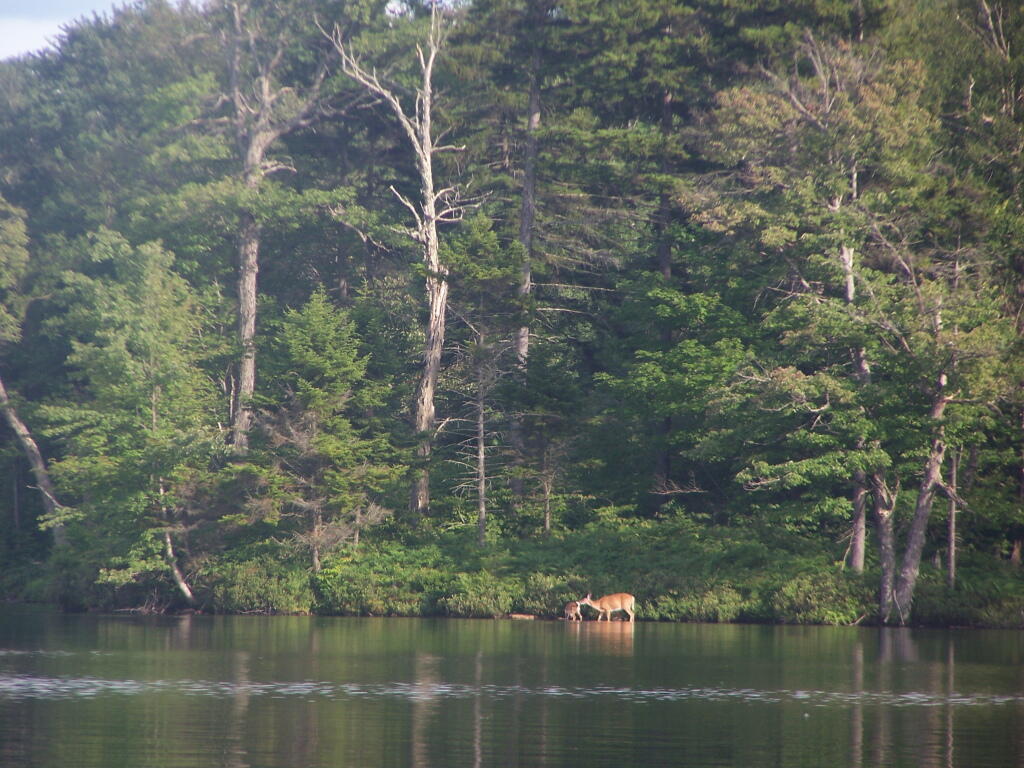
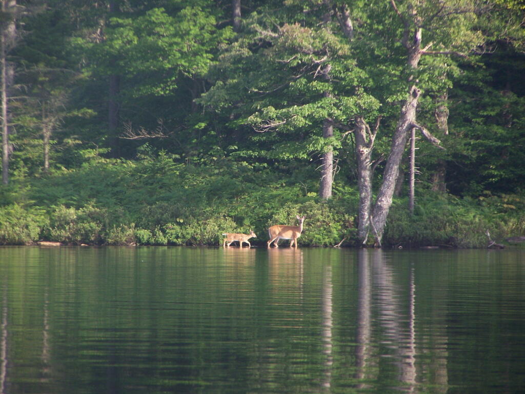
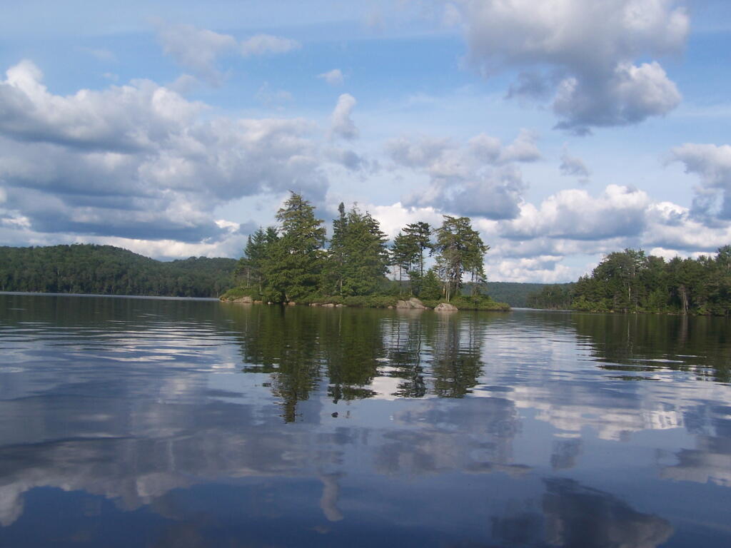
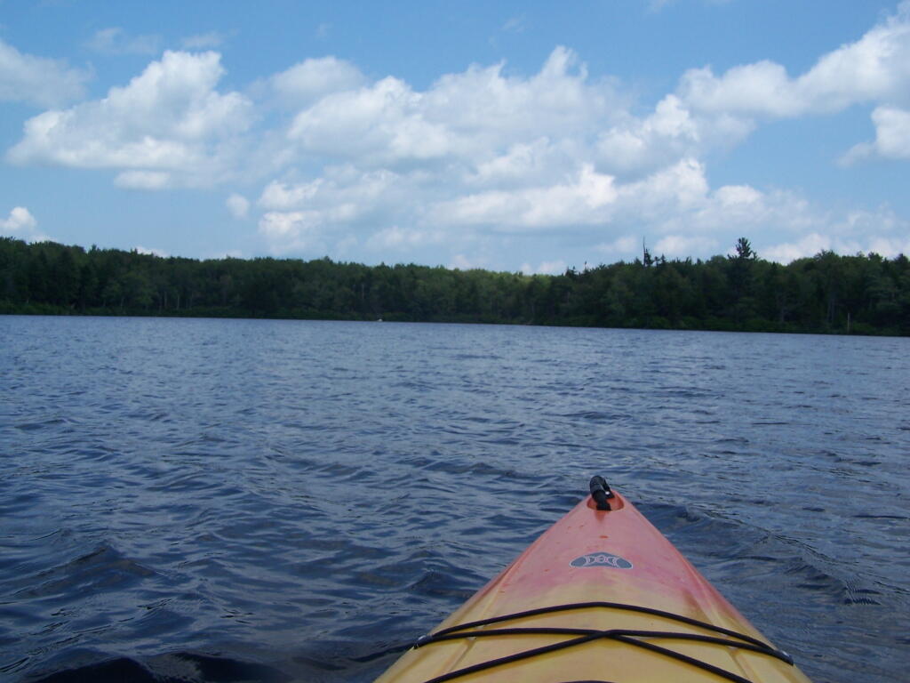
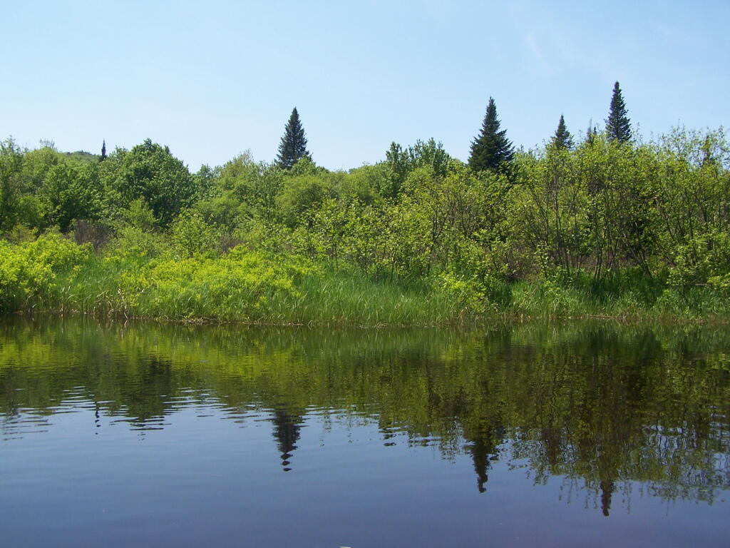
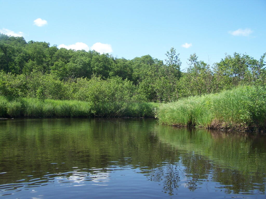
Near Number 4 is Francis Lake on Stillwater Road. It’s not the world’s largest lake, but it does offer some interesting kayaking with good views, as you paddle around this lake. There are some private inholdings along the lake, but most of the lake is pretty wild.
Click above to download the high resolution version of map for printing…
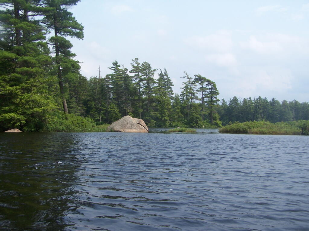
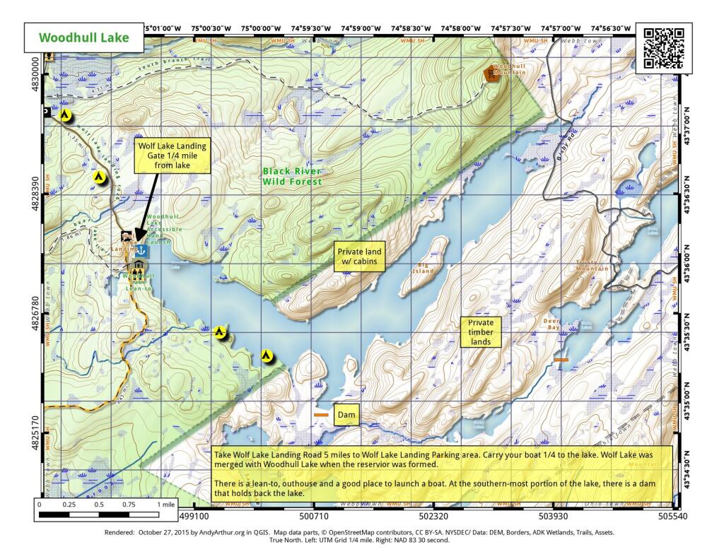
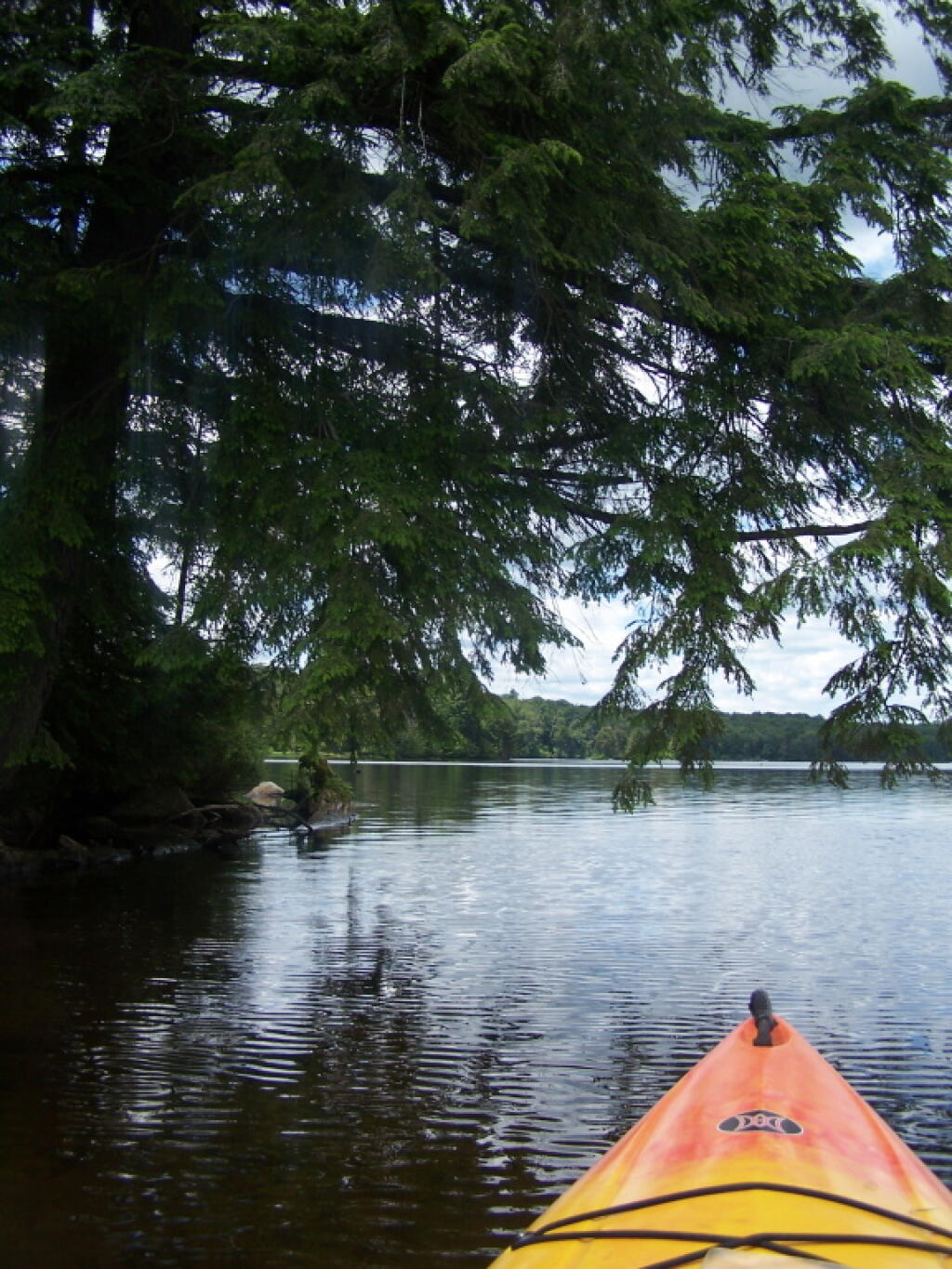
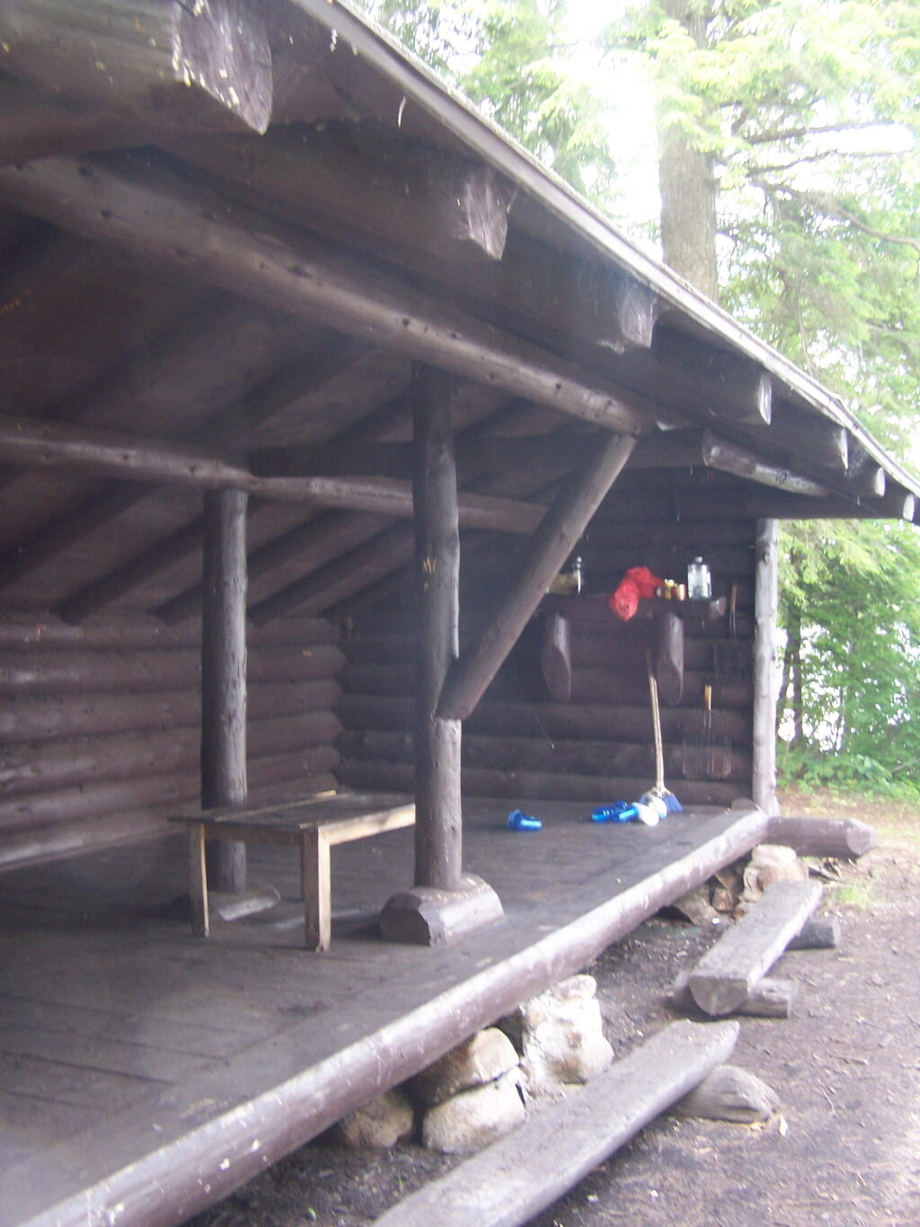
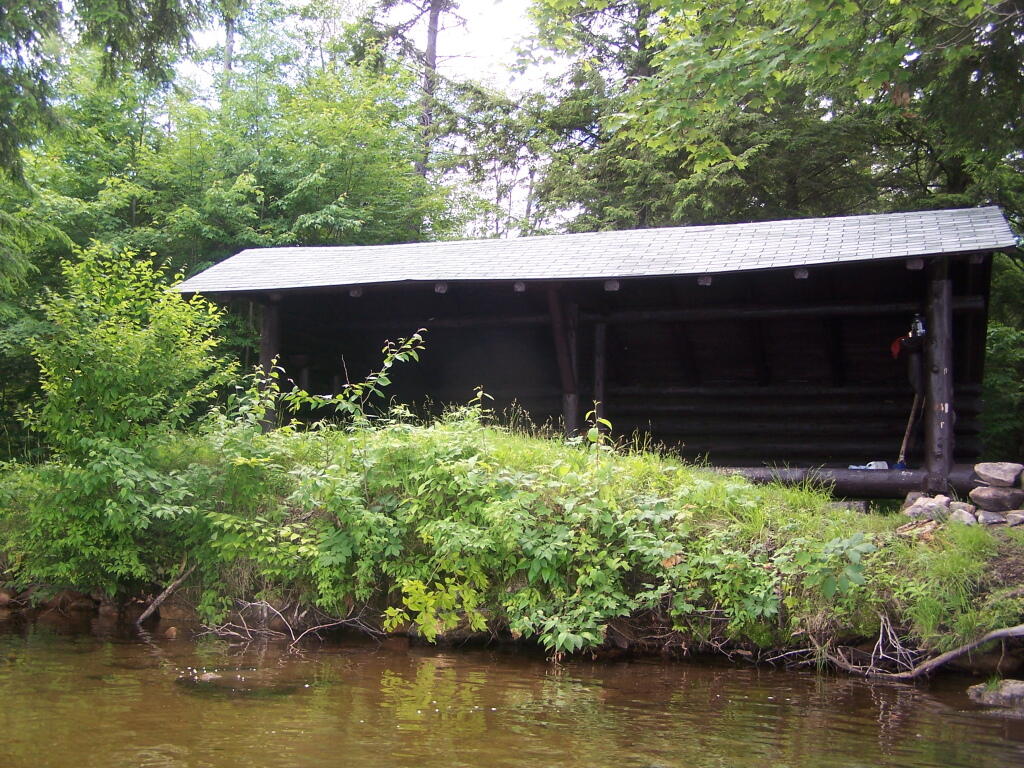
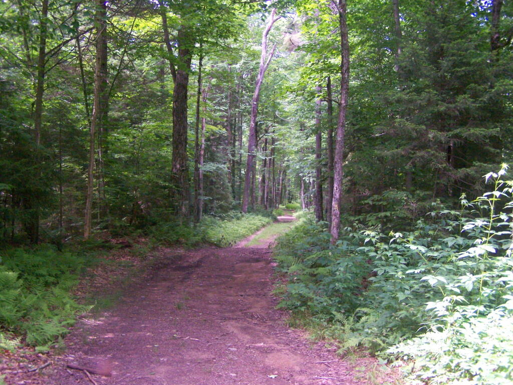
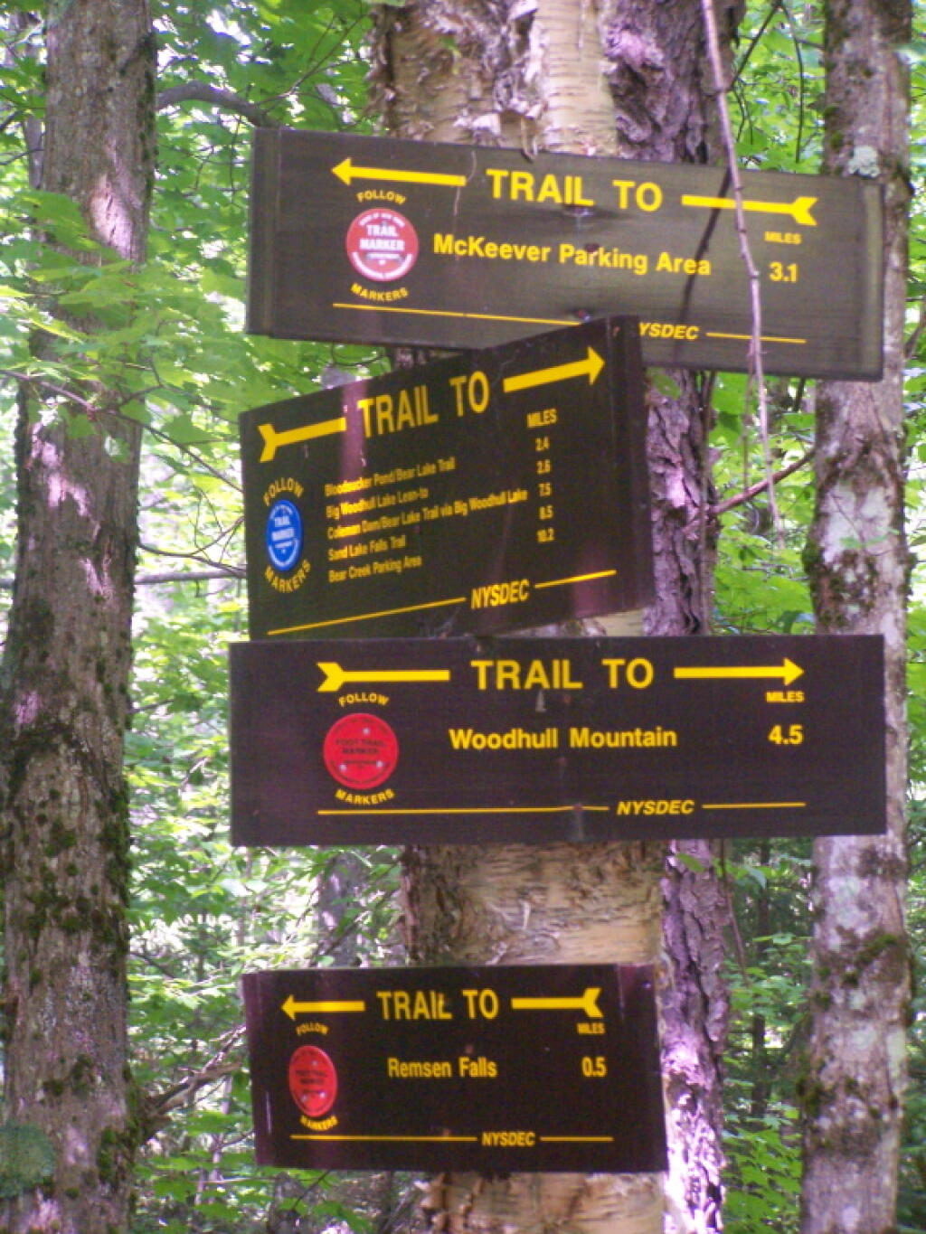
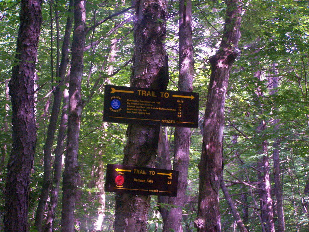
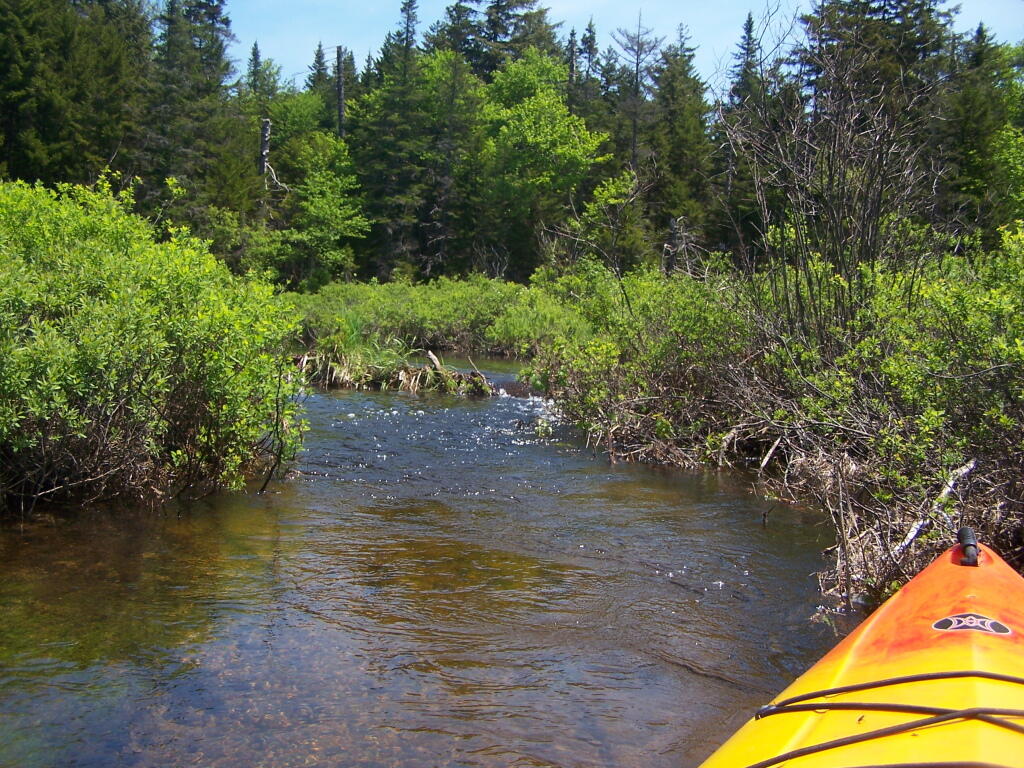
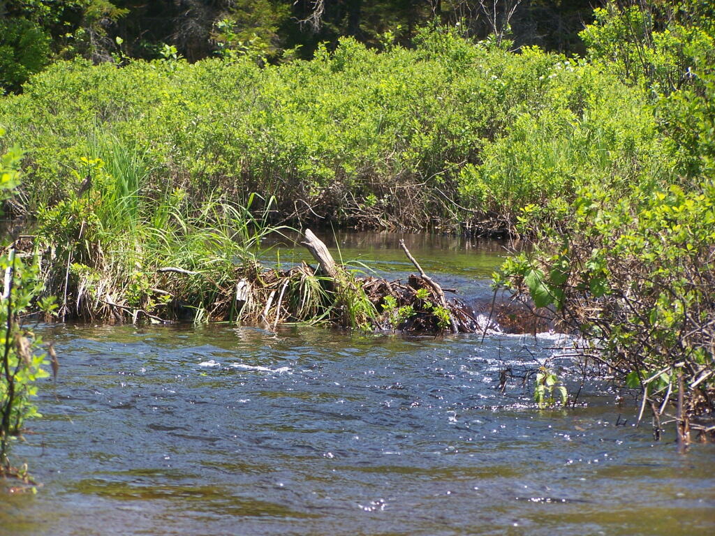
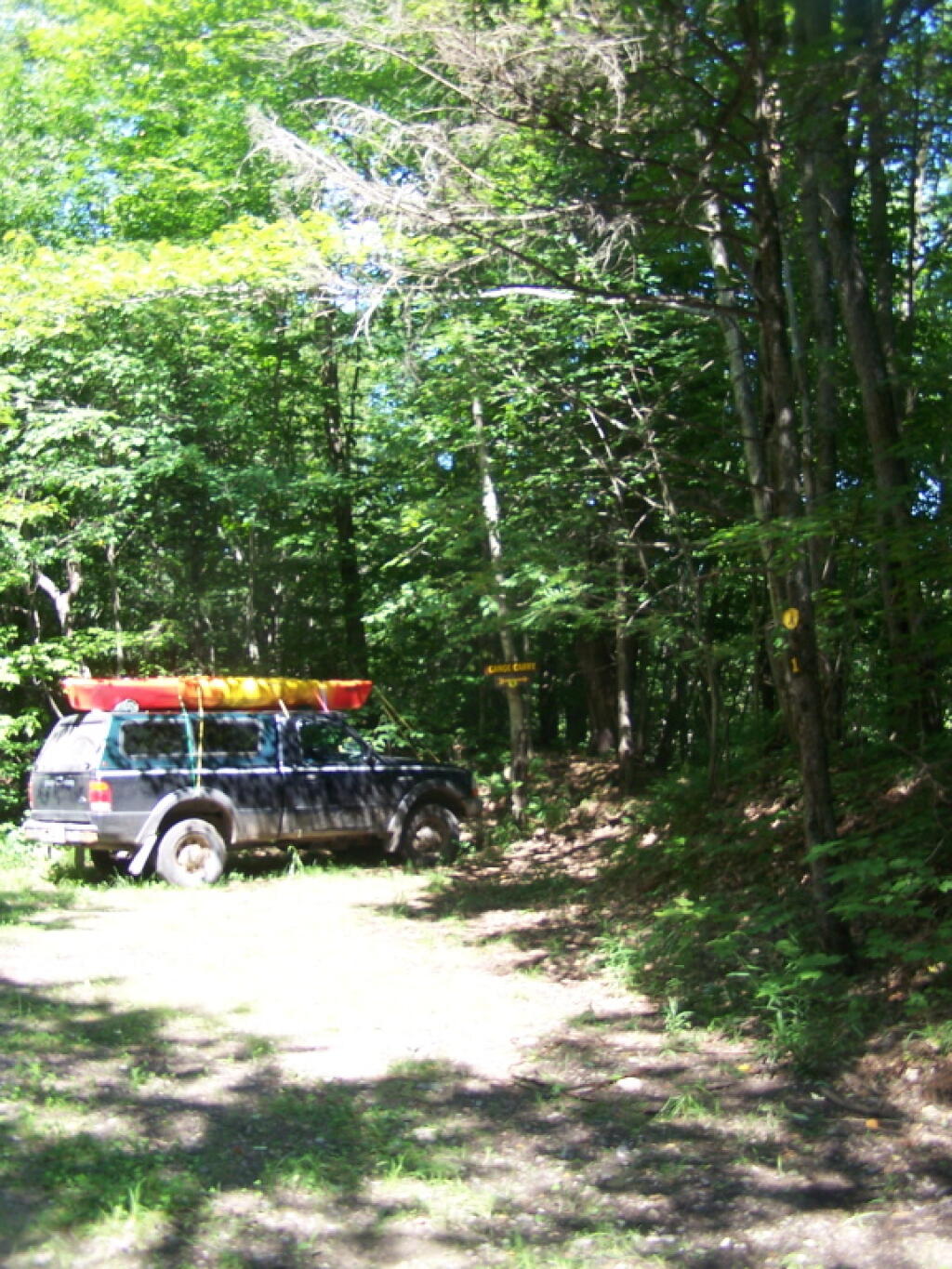
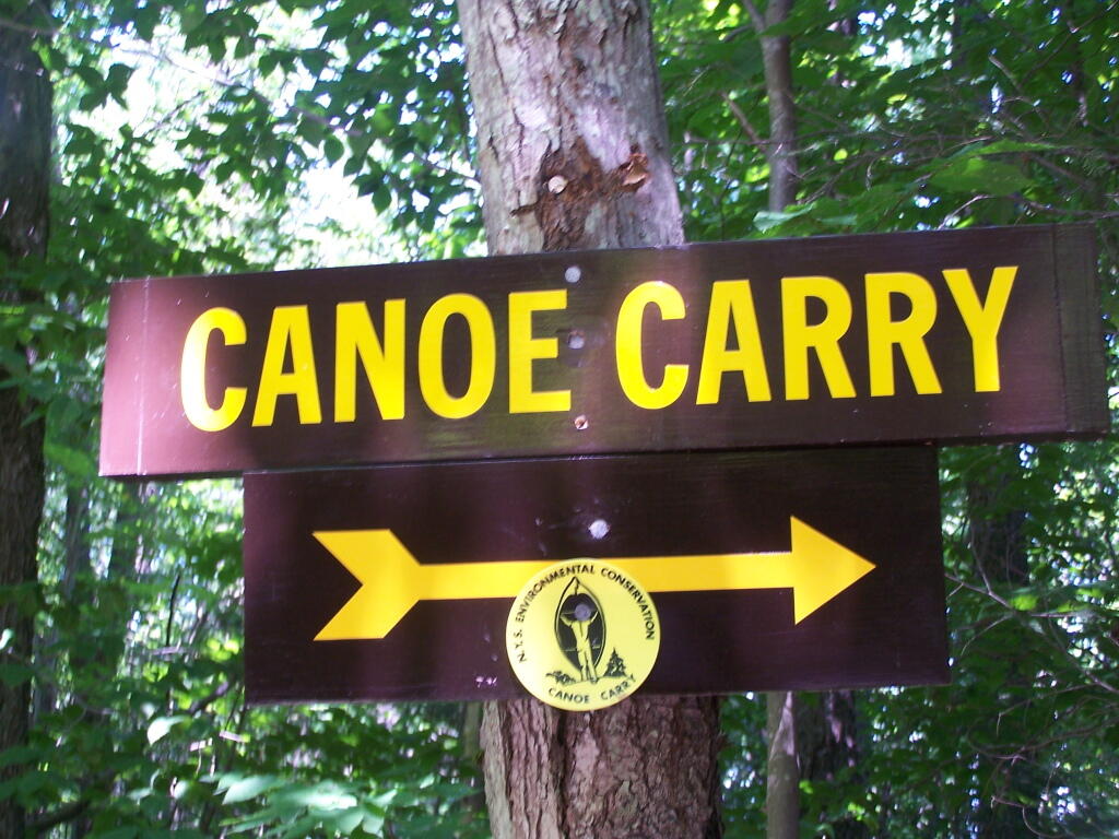
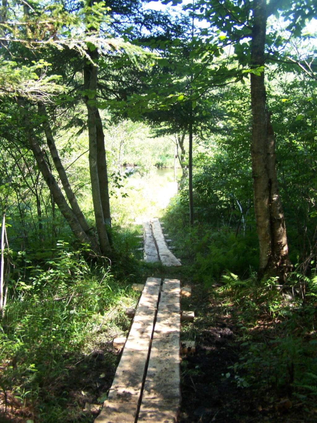
To get to Woodhull Lake, you have to take McKeever Road from NY 28 in McKeever (1/2 mile before it crosses the Moose River, then drive back about 6 miles on a dirt truck trail known as Wolf Lake Landing Road. You put in at Wolf Lakes Landing, which is named after one of the lakes that Woodhull Lake covered when it was dammed up to form a larger lake to provide water supply to the Erie Canal.
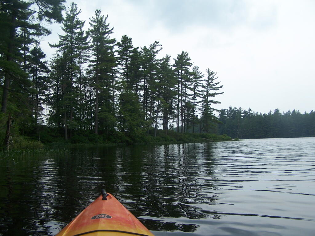
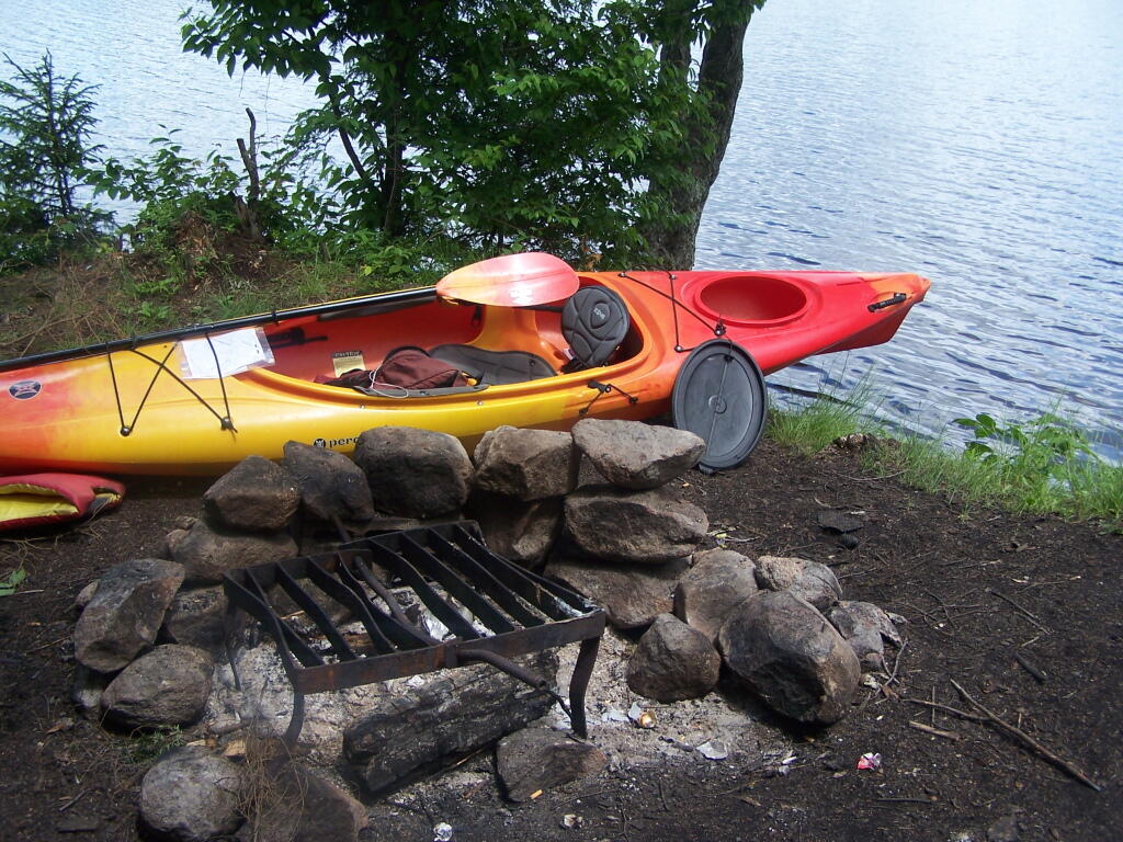
While the road is fairly well maintained one-lane gravel truck trail, one creek crossing is a bit eroded from the rains of 2011. There are roughly 6 designated roadside campsites along the road, with minimal to no facilities that you can camp at. You can drive all but an 1/8th of a mile up to Woodhull Lake, where the road is gated off, from there you have to carry your kayak or canoe to the lake on the gravel road. Consider using wheels on your kayak to assist on this portage.
Here is a map of Woodhull Lake. Consider clicking on it, for a high-resolution map that you can print up, put in a plastic bag and use on the trip like I did. It works really well like this, and I think this map prints out to be nice and high resolution, especially if you have a color printer.
From the east, probably the best way to get to Grout Pond is via Kelley Stand Road, a twisty one lane dirt road that heads east out of East Arlington in Vermont. Pay careful attention to this map, it’s easy to get lost in East Arlington or East Kansas. I know I ended up at Covered Bridge in Chiselville the first time I got there.
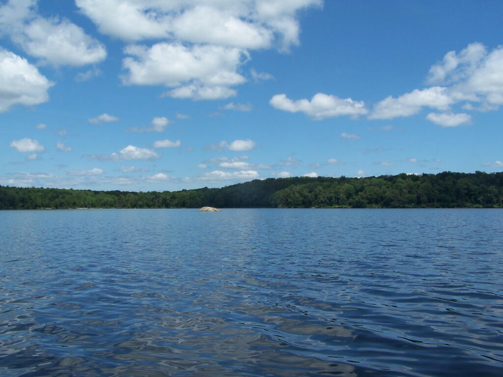
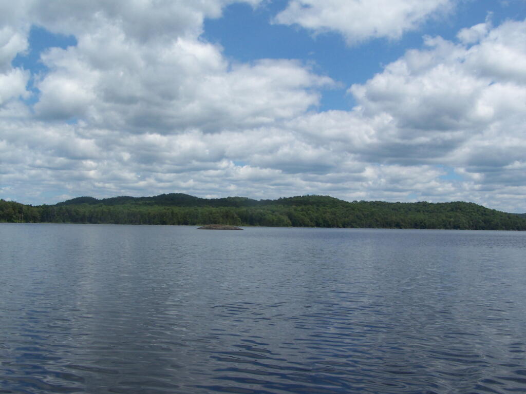
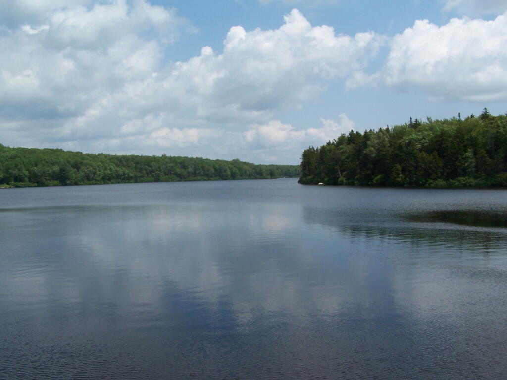
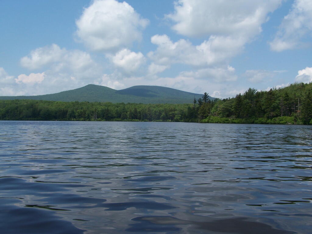
Grout pond isn’t the biggest in the world. If you want lots of open water, check out the Somerset Reservoir. This area, however offers either backpack-in camping along the east shore, or 25 drive-in campsites, in a primitive campground nearby. There is no charge to use this National Recreation Area. Other roadside campsites along Kelly Strand Road, FR 71, and FR 70. Forest Road 70’s campsites are particularly nice, and it’s a 1/4 mile portage down to Branch Pond (bring wheels).
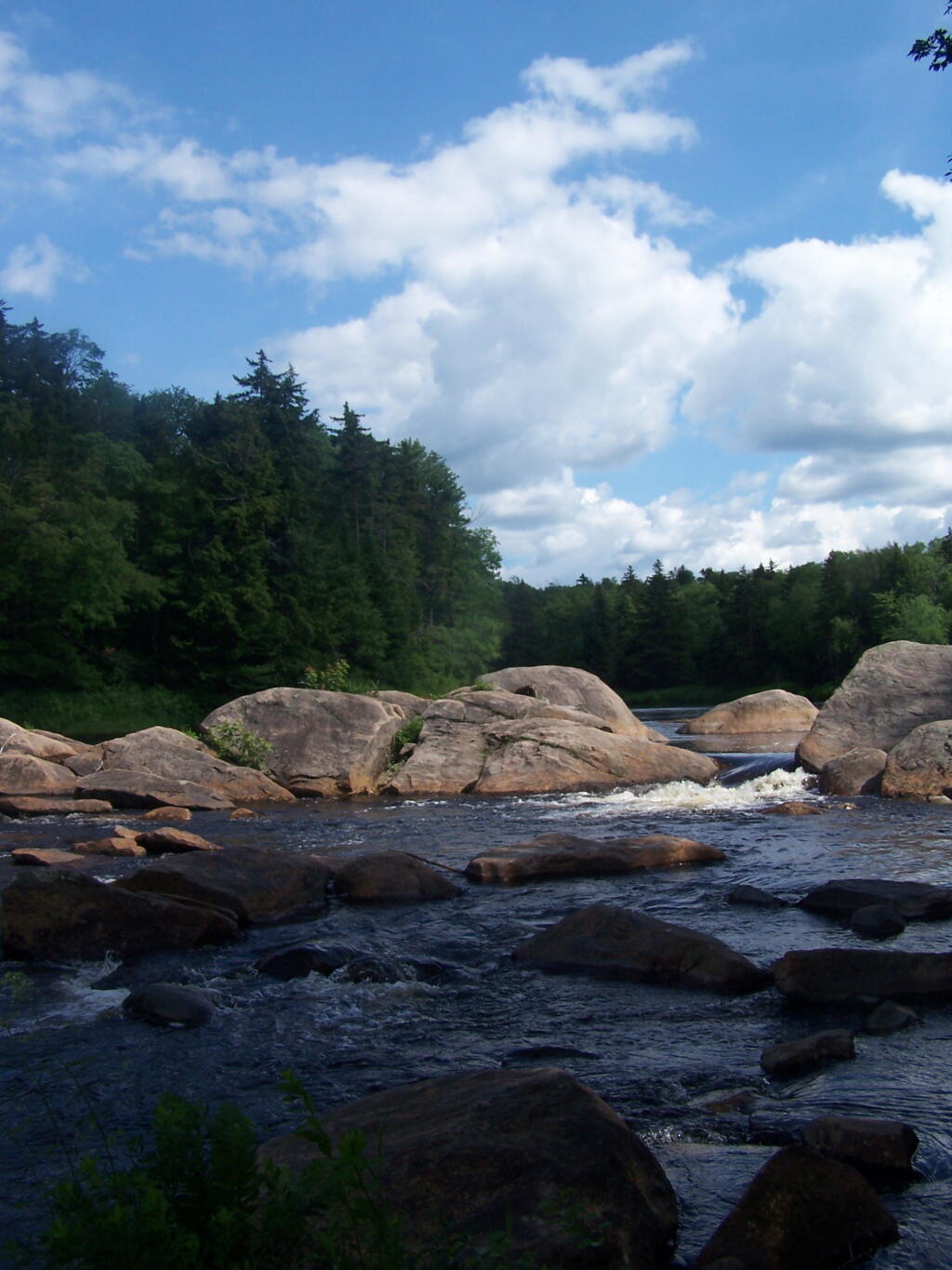
The lake is very shallow and marshy in one. Supposedly good fishing if you have a Vermont State Fishing License.
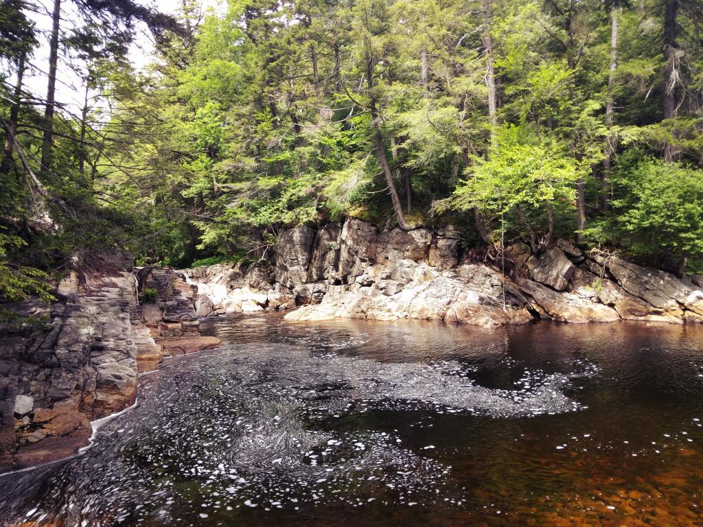
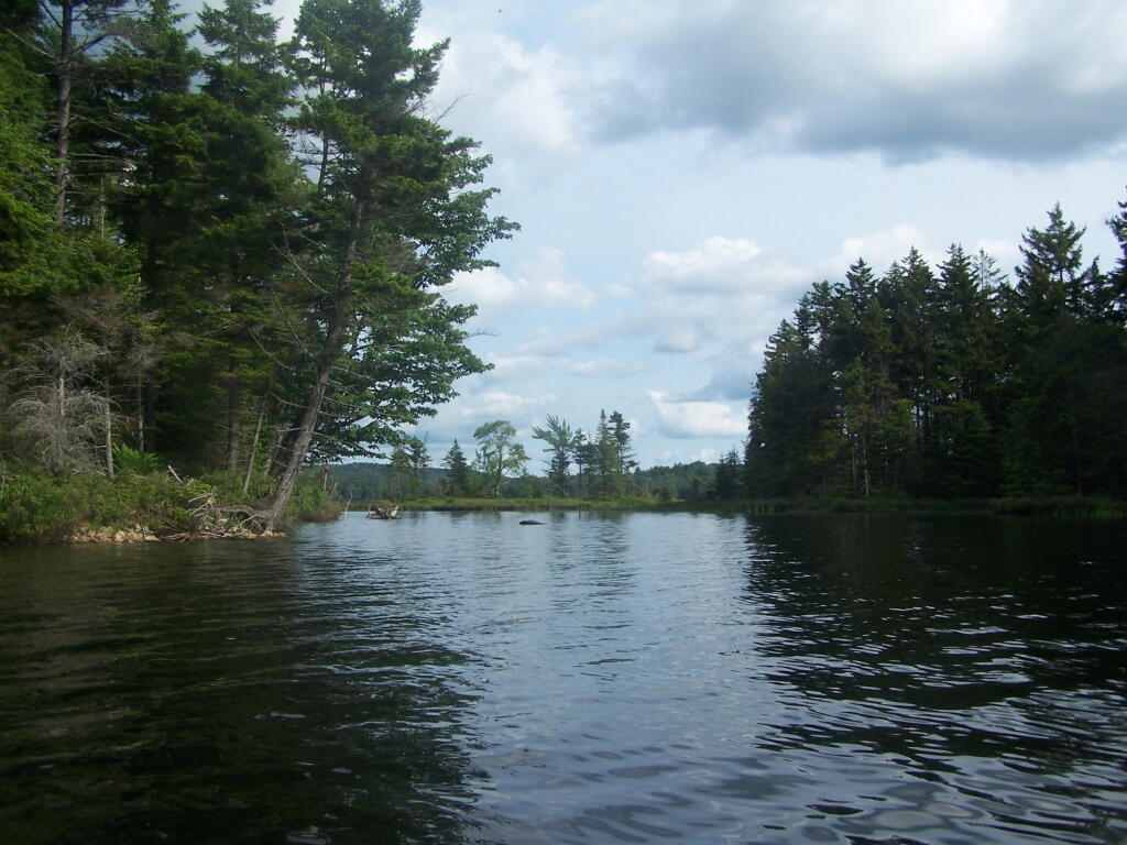
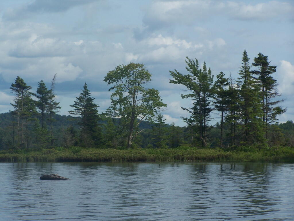
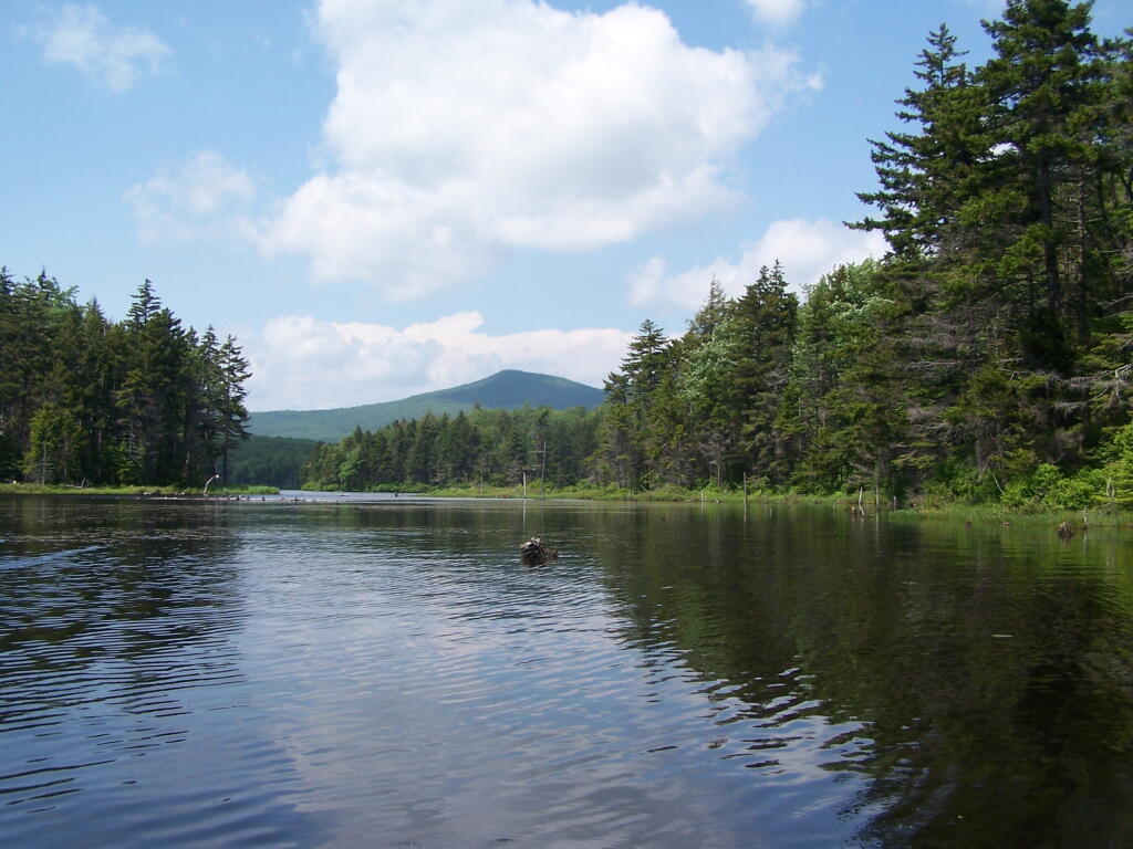
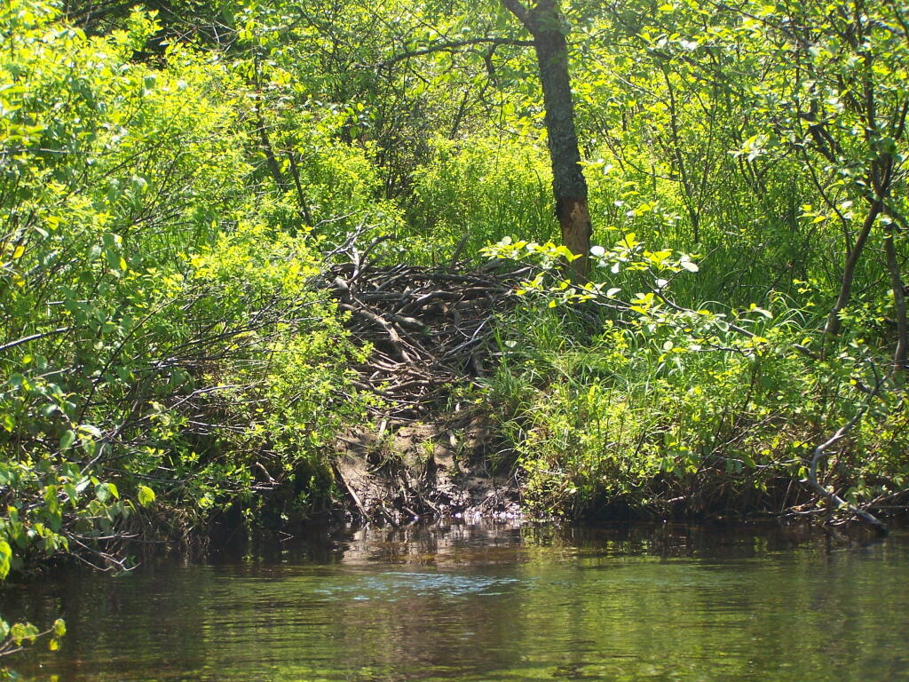
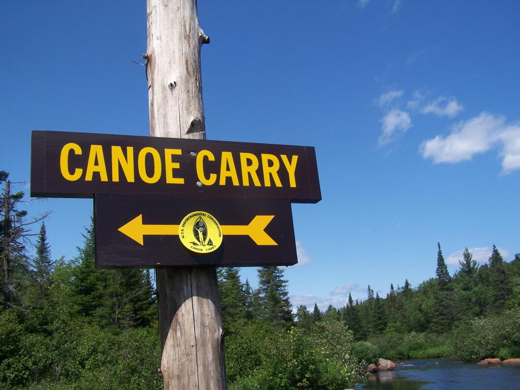
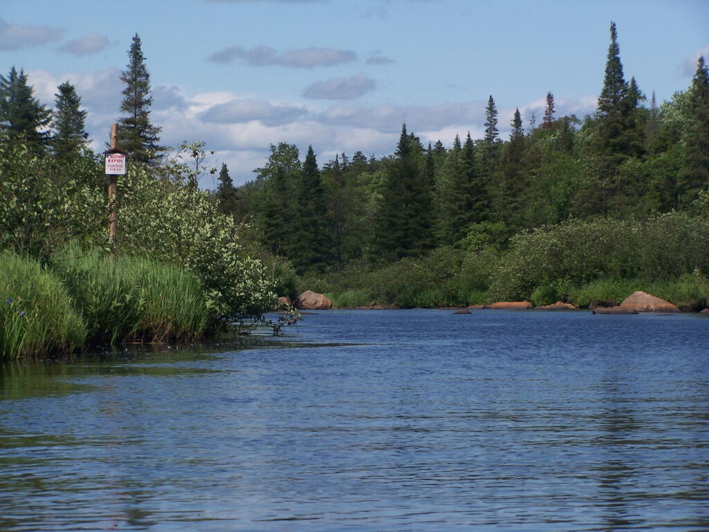
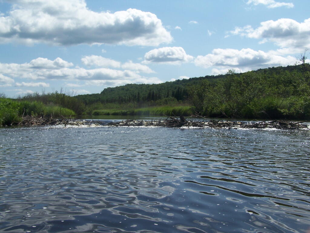
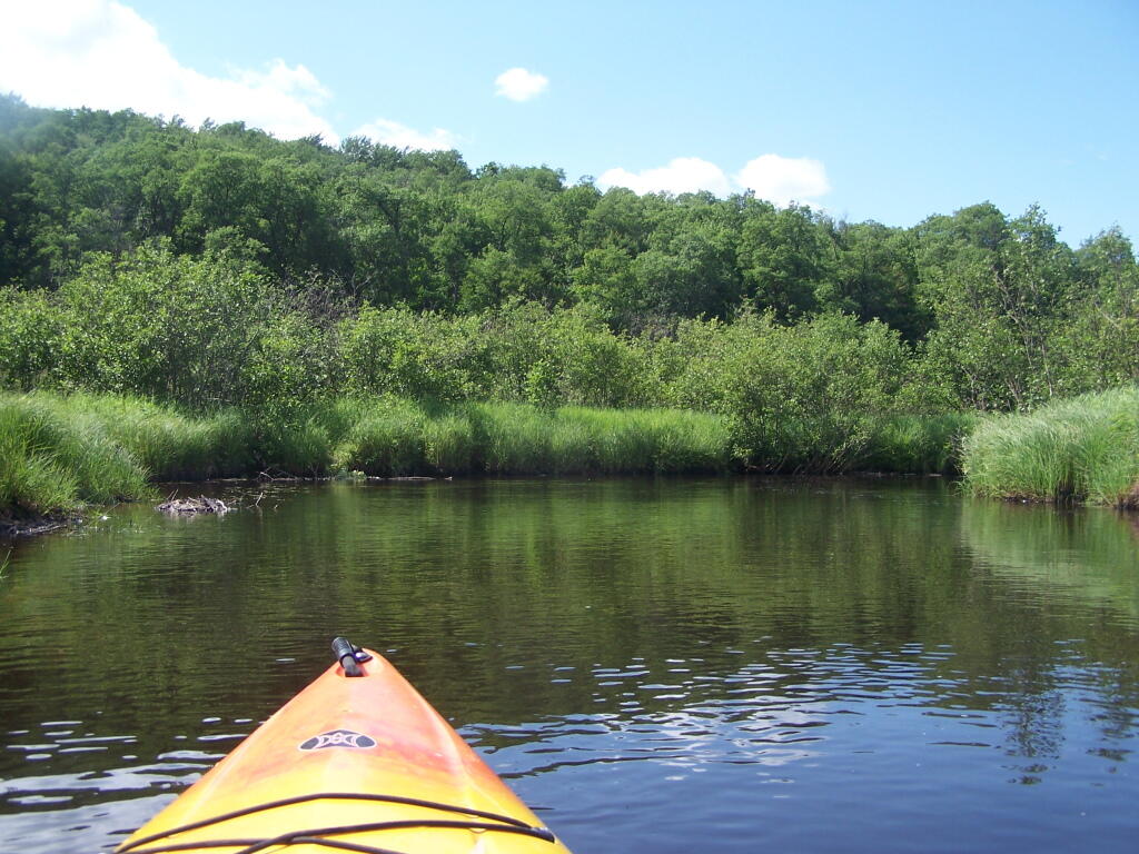
Here are two different maps of Powley Place, the portion of the East Canada Creek that is navigable for a couple of miles, bar the beaver dams you’ll either have to portage around or go right over.
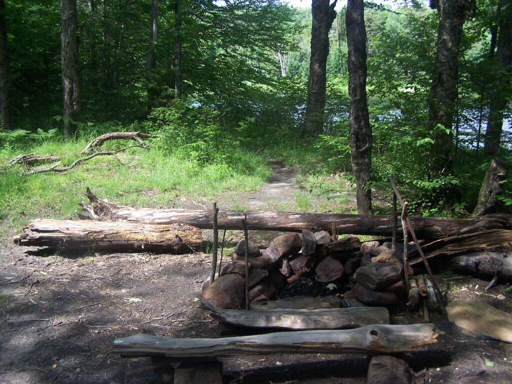
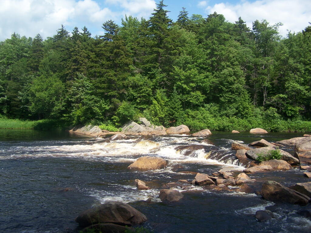
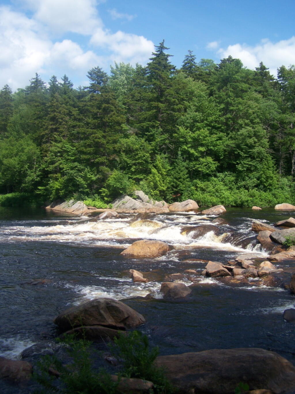
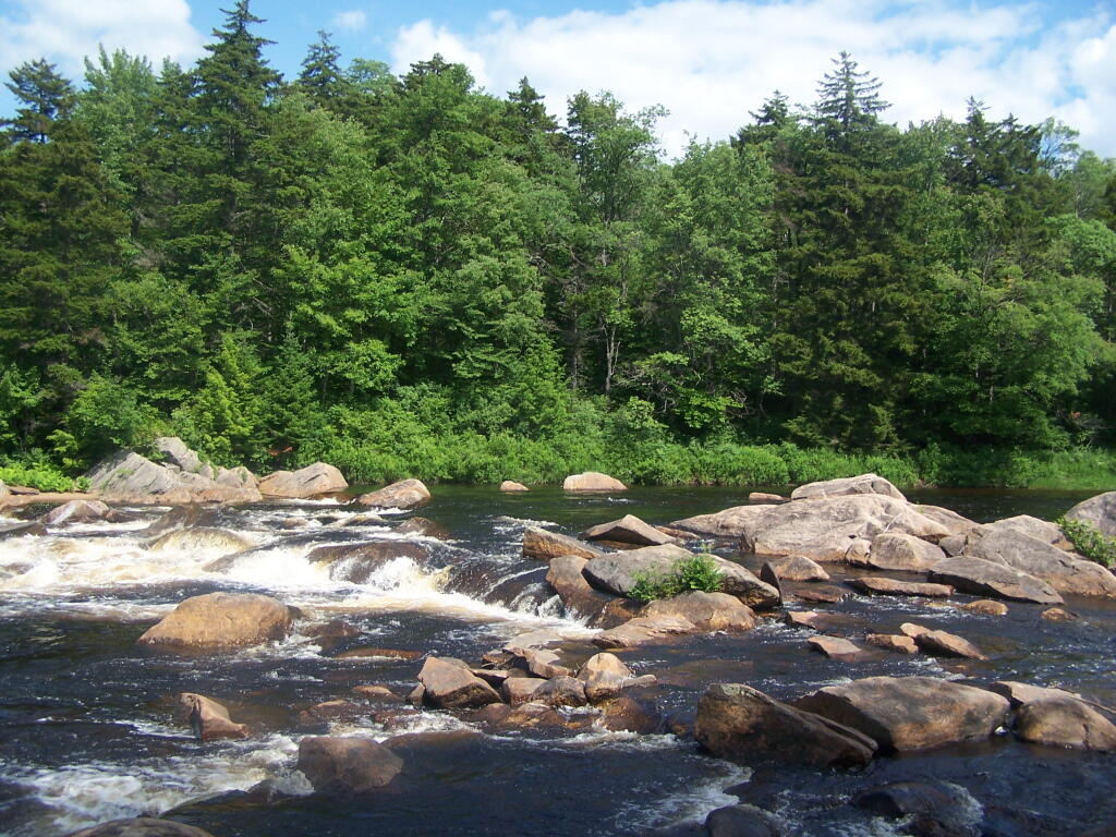
![Untitled [Expires December 16 2024]](https://andyarthur.org//data/photo_008174_large.jpg)