I enjoy having my little noticed, little read blog about the topics of the day that interest me. I like being able to share my thoughts, explain my world view, yet not have a mass following. Some people read my blog, others don’t, and that doesn’t particularly bother me. I don’t have to appeal to anybody or build a following, I just have to be me.
There is something so nice about being a private citizen and being able to share my thoughts on my own time. Not having to worry much about the consequences of what I say or write, because few will ever read what I write. I’m not up for elected office nor do I plan anytime in the future to ever run for office. I’m content just being who I am.
I don’t have to make fake appearances or say things I don’t believe in. I’m not in the public eye, my name is never on a press release or identified with any particular cause. I can float in and out on the streets with anonymity, I can participate in groups and protests without my name being floated in the papers. I can say what I want, I can do what I want.
And nobody really cares. It’s because I’m not a public persona — I live in obscurity.
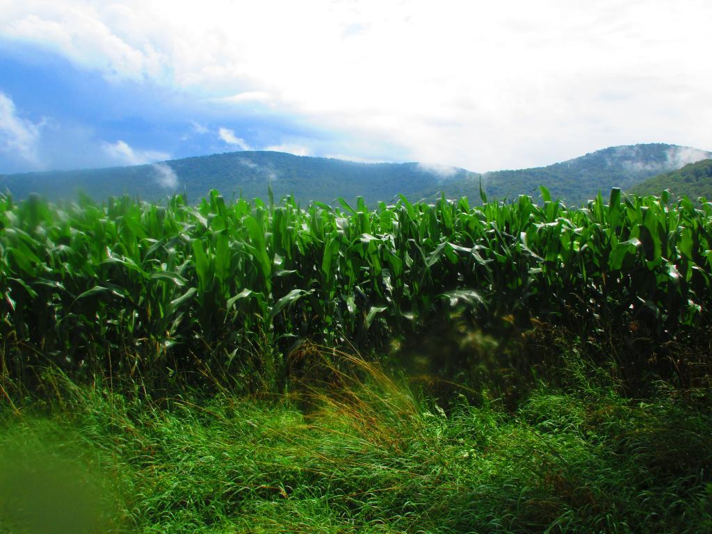
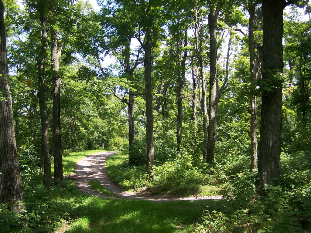
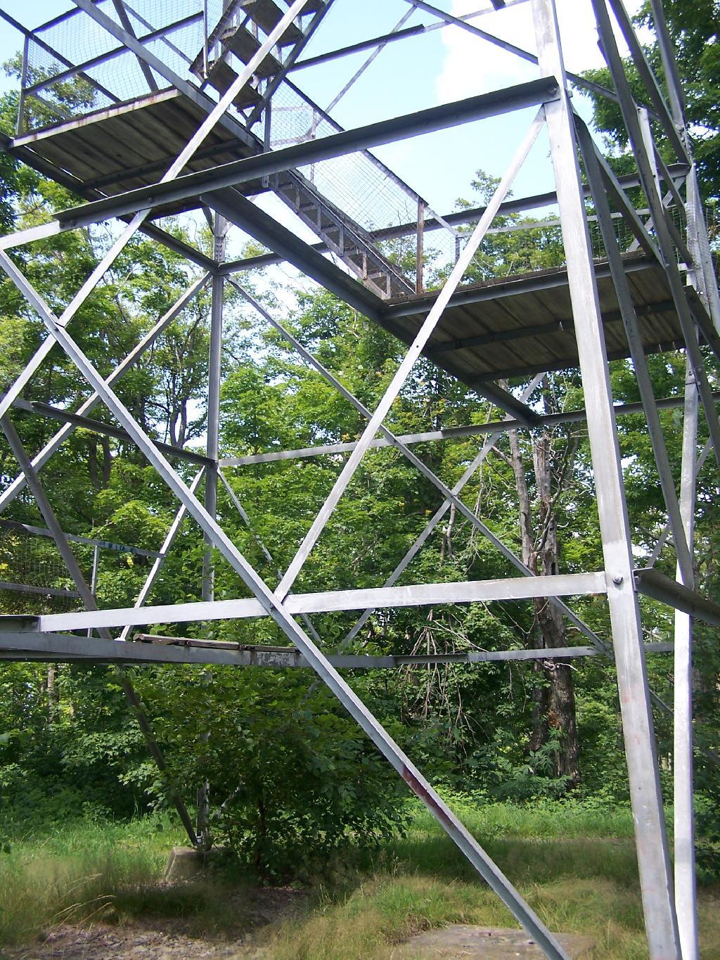
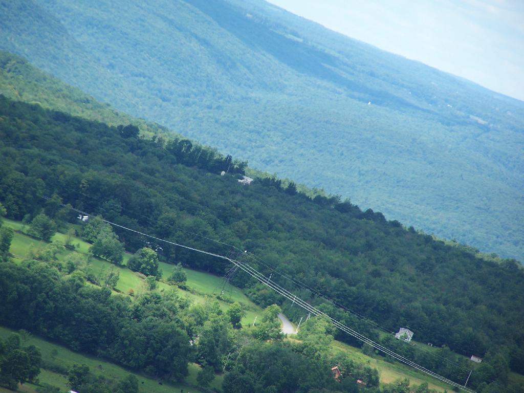
Last weekend, after hiking up to Slide Mountain, I decided to drive another 30 minutes west to Balsam Lake Mountain. This was the final fire tower in the five remaining trails in the Catskills.
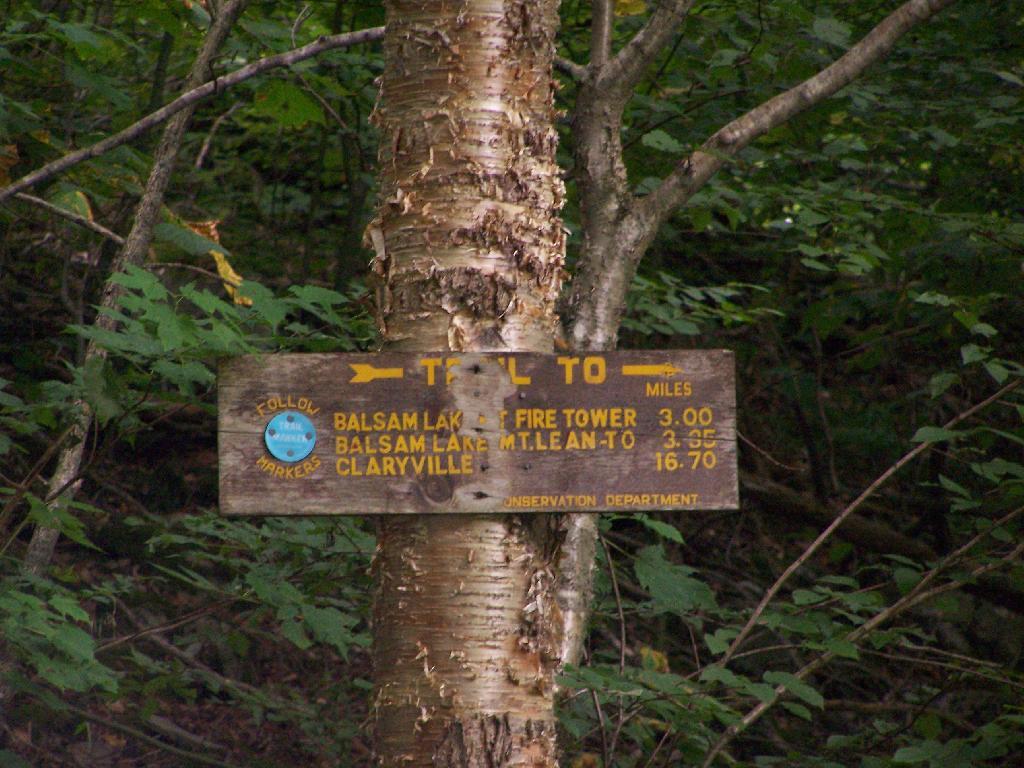
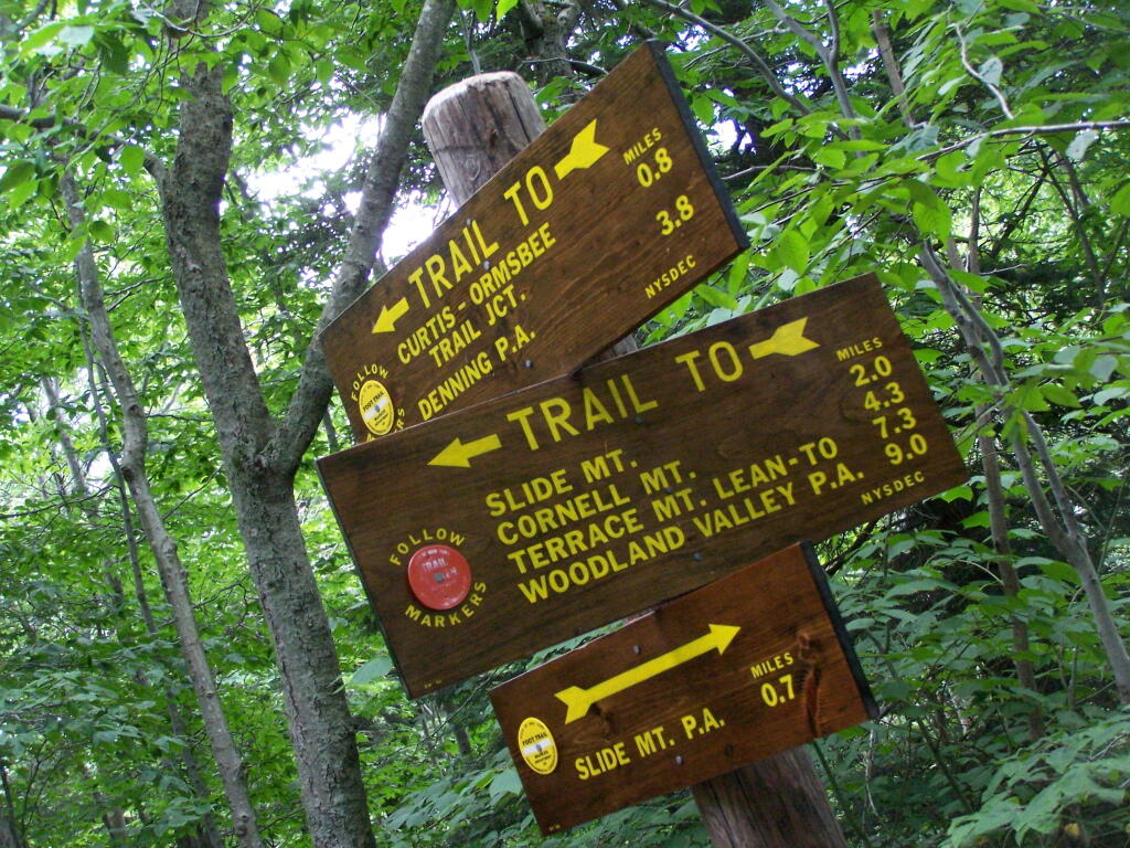
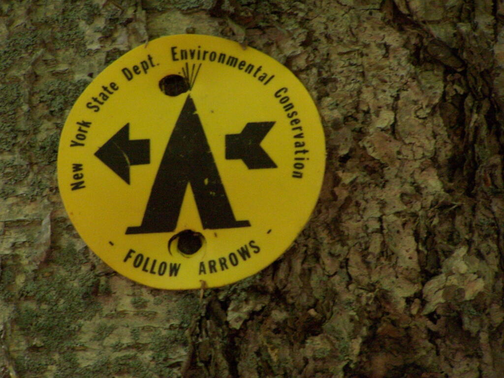
Across from the Dry Brook Parking Area is the blue trail heading south to the Balsam Lake Fire Tower. It is not well marked, but there is one sign that points across the lot, then this well worn sign at the start of the old woods road that leads to the fire tower.
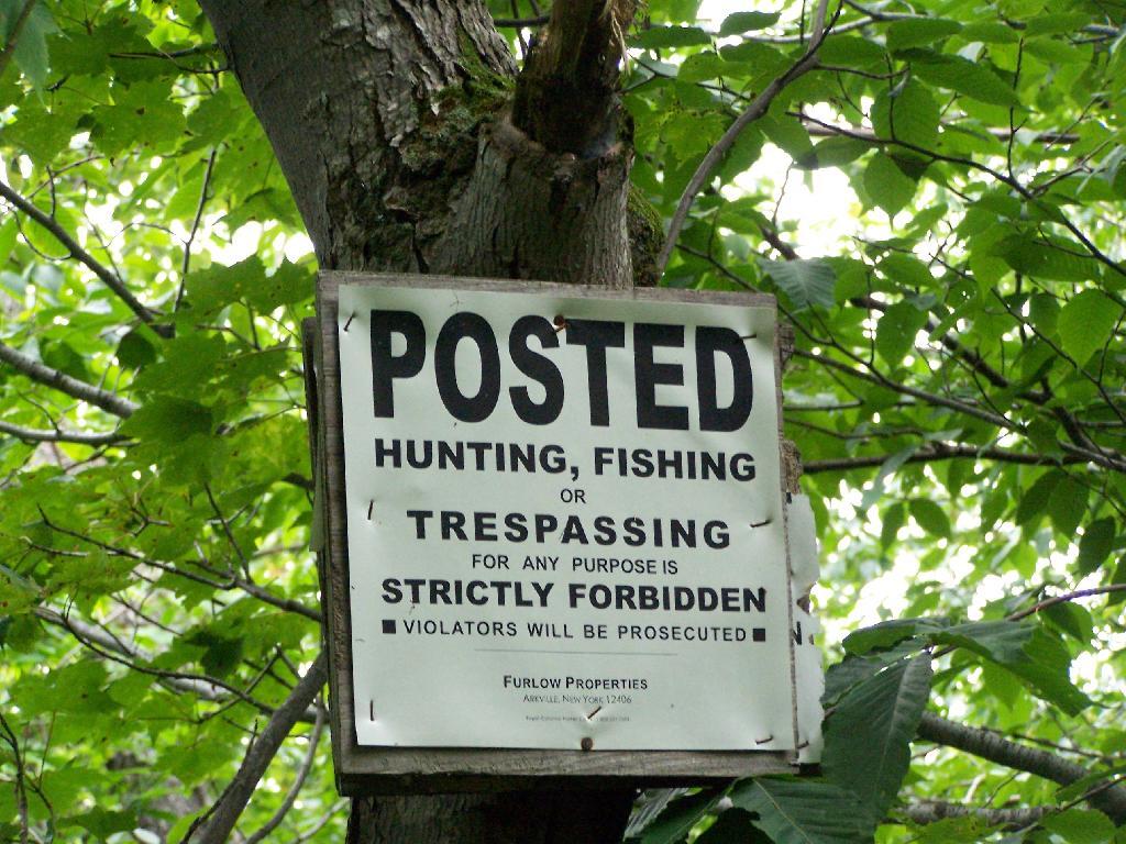
The first 2.25 miles of the trail runs entirely through private lands, and is heavily posted. There is also very few blue markers, so don’t be surpised until you reach the kisok that you feel you are on the wrong trail.
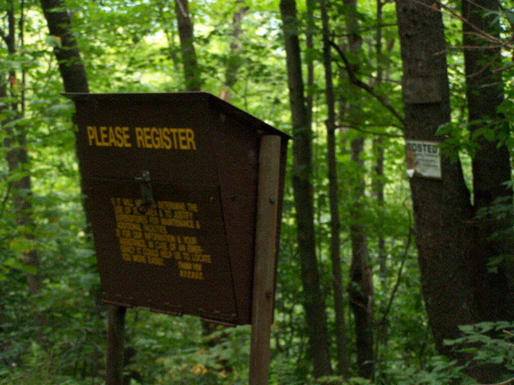
Seeing this was very re-assuring, as I signed my name into the book, and knew I was on the real trail. The kiosk is set about 1/4 mile back from the road. But if you’ve seen the first sign, your okay, as you’ll eventually reach the kiosk.
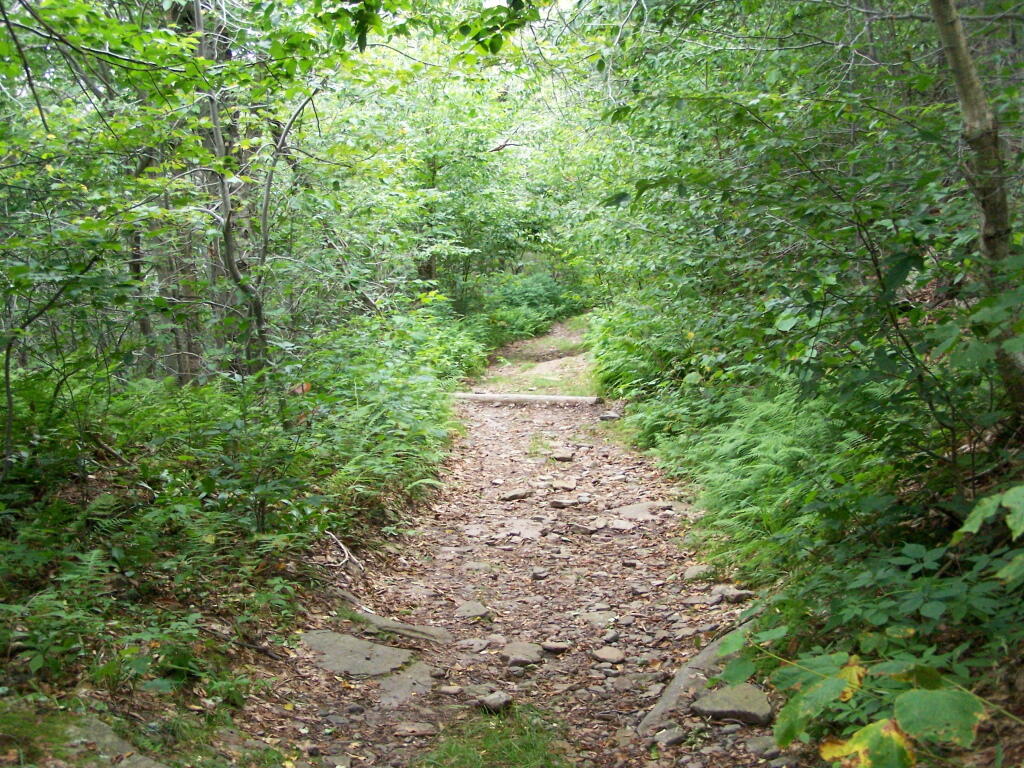
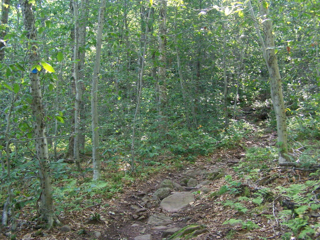
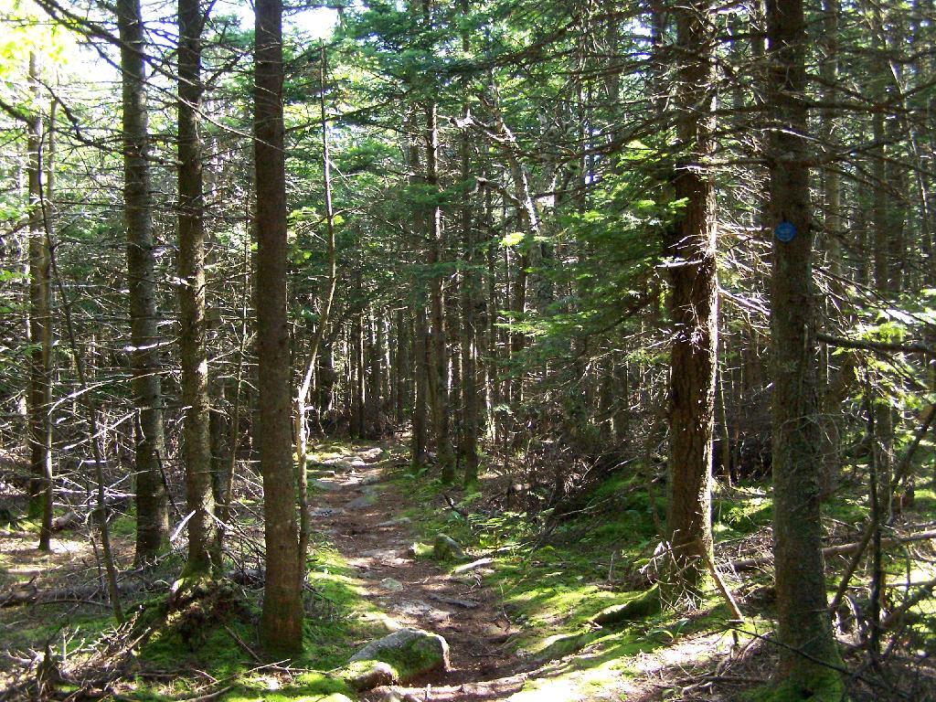
Here is a picture of the old woods road. When the tower was open, the Ranger could drive all the way up there. Today, you can technically drive in until you get to the start of the state land, although it would be rough without a pickup. This trail is not particularly steep.
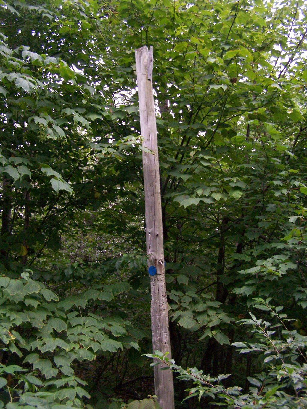
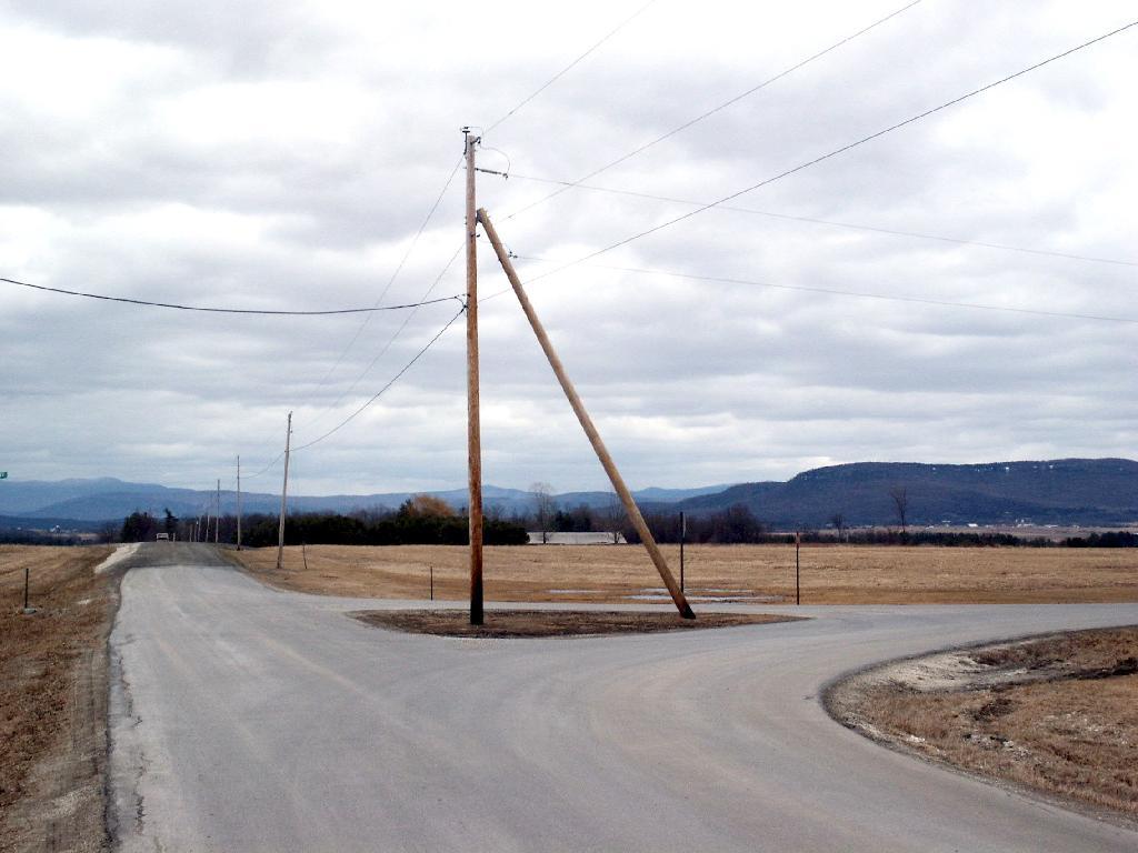
Along the trail is several old telephone polls, used to carry telegraph and/or telphone lines up to the way up it.
At 2.25 miles you reach the intersection of the blue and red trails, the red one that takes you to the tower. It might be only 3/4 miles to the tower, but you still have to go an additional 600 feet in elevation, on a trail with several moderately steep uphill.
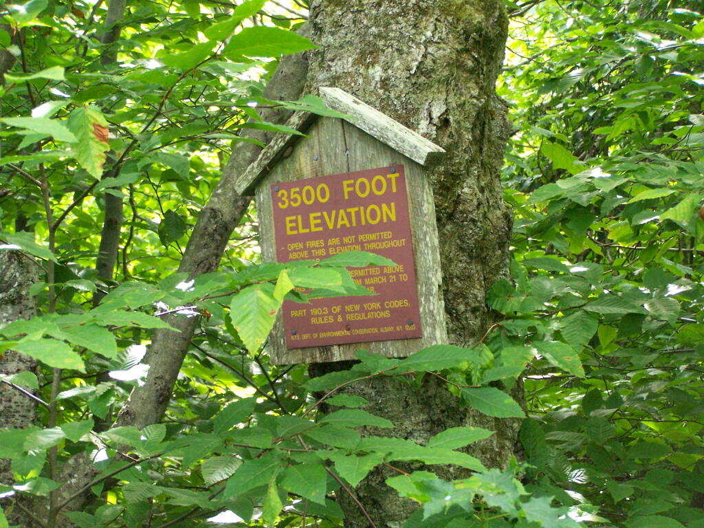
At 2.5 miles you reach the Balsam Lake State Forest, and about a minute later, you reach the 3,500 elevation mark.
You climb and you climb, and the trail opens up. You think your at the top when you here, but your not. Think about hiking for another 15 minutes.
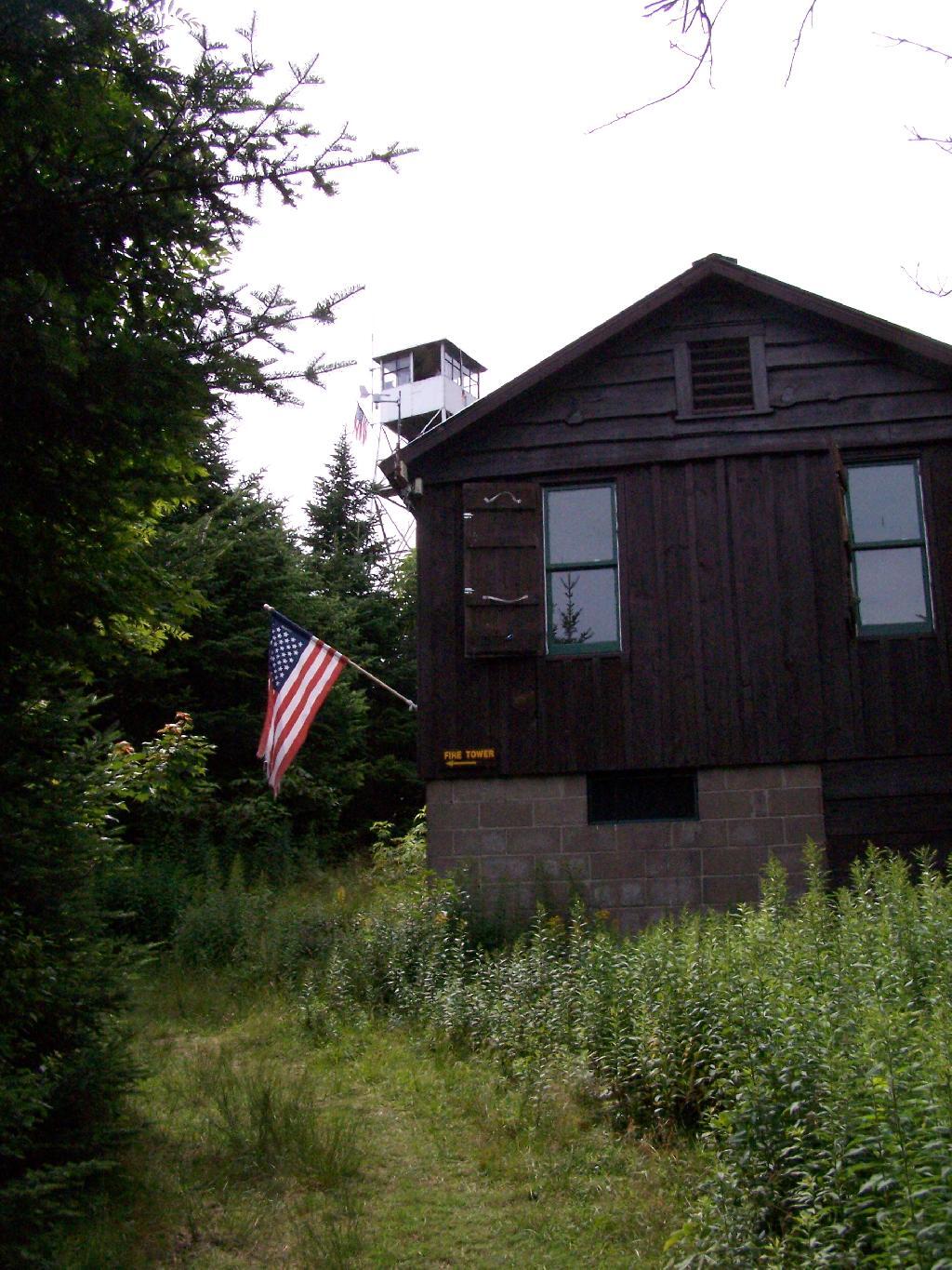
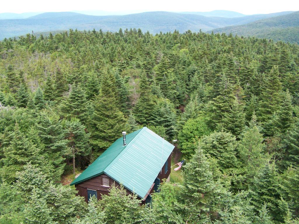
Finally, you see the Ranger’s station and the tower. This makes you happy, especially if you climbed Slide Mountain before this.
The fire tower is staffed on summer weekends, and the cab is open for inspection. At the Ranger’s cabin, there is historic posters from back in the day when the tower was staffed.
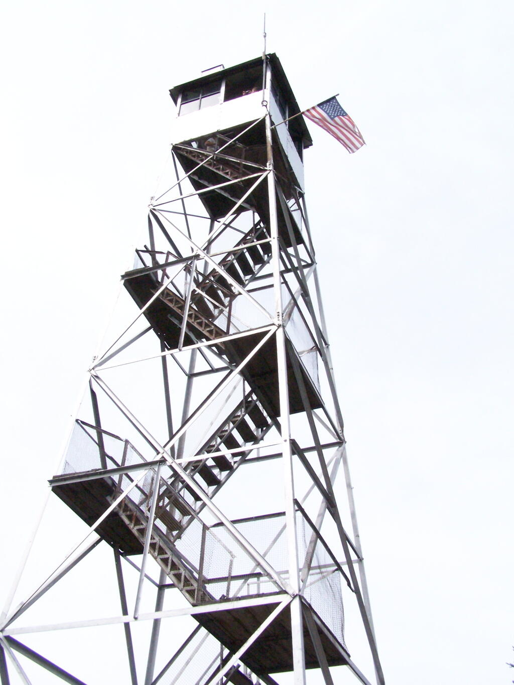
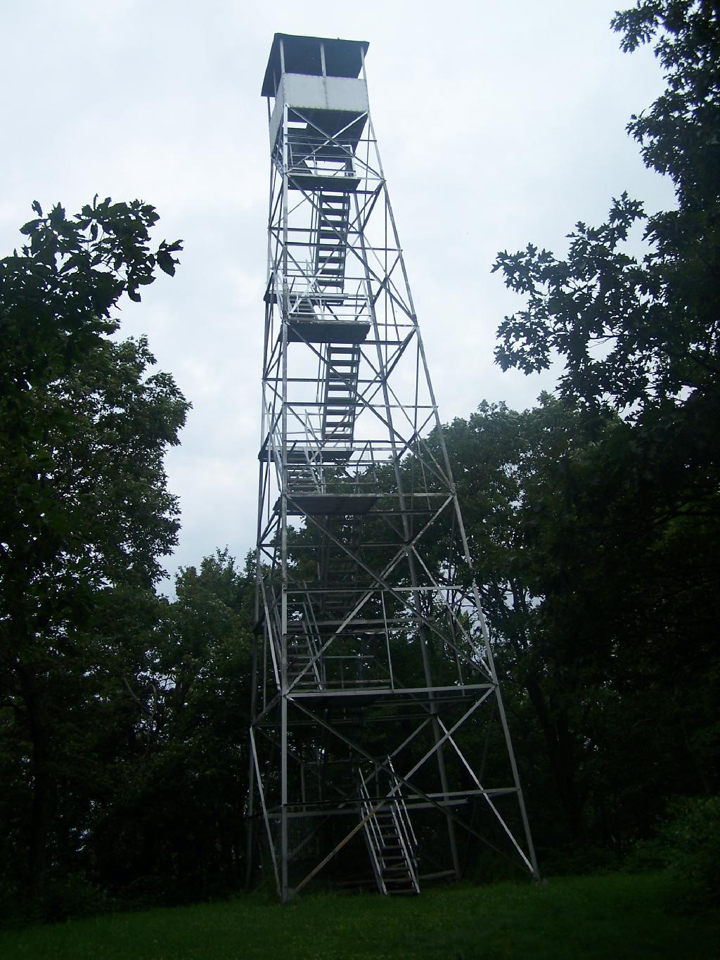
Here’s the tower against the very grey sky.
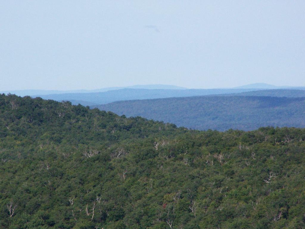
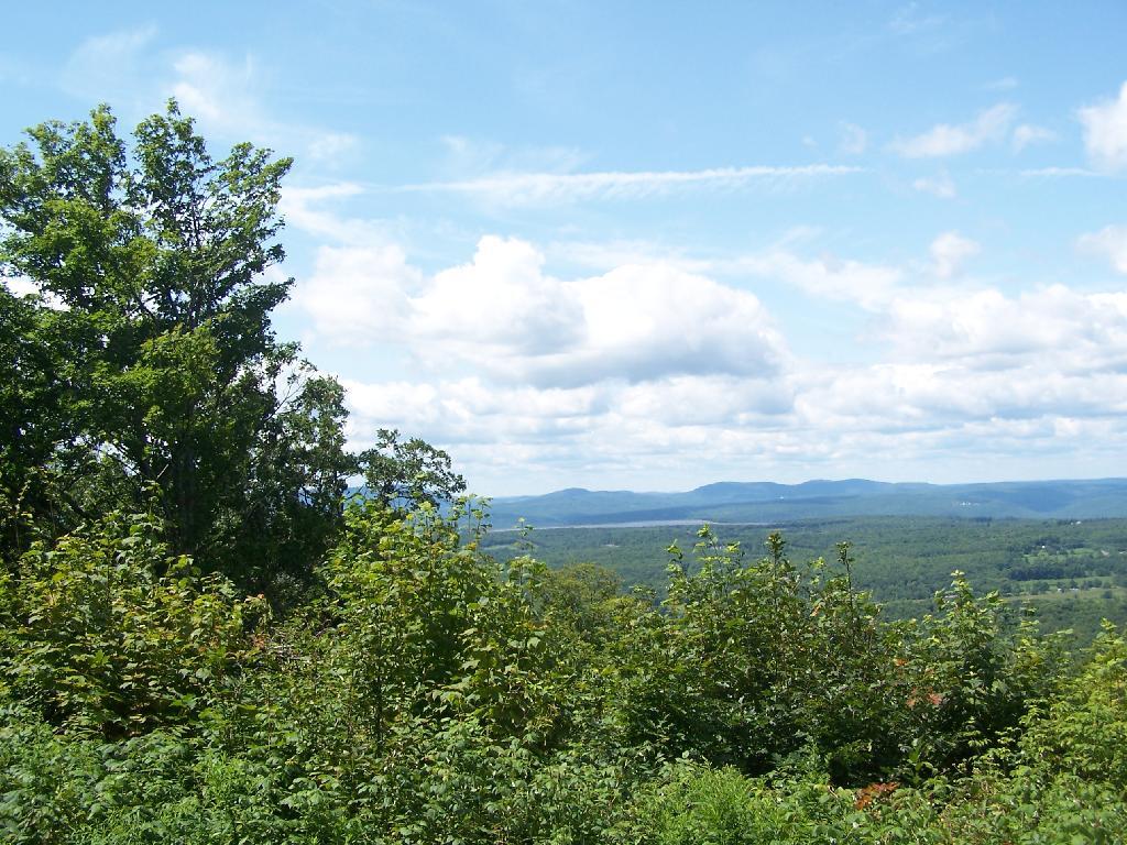
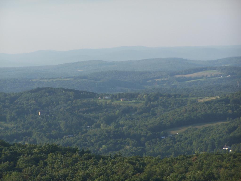
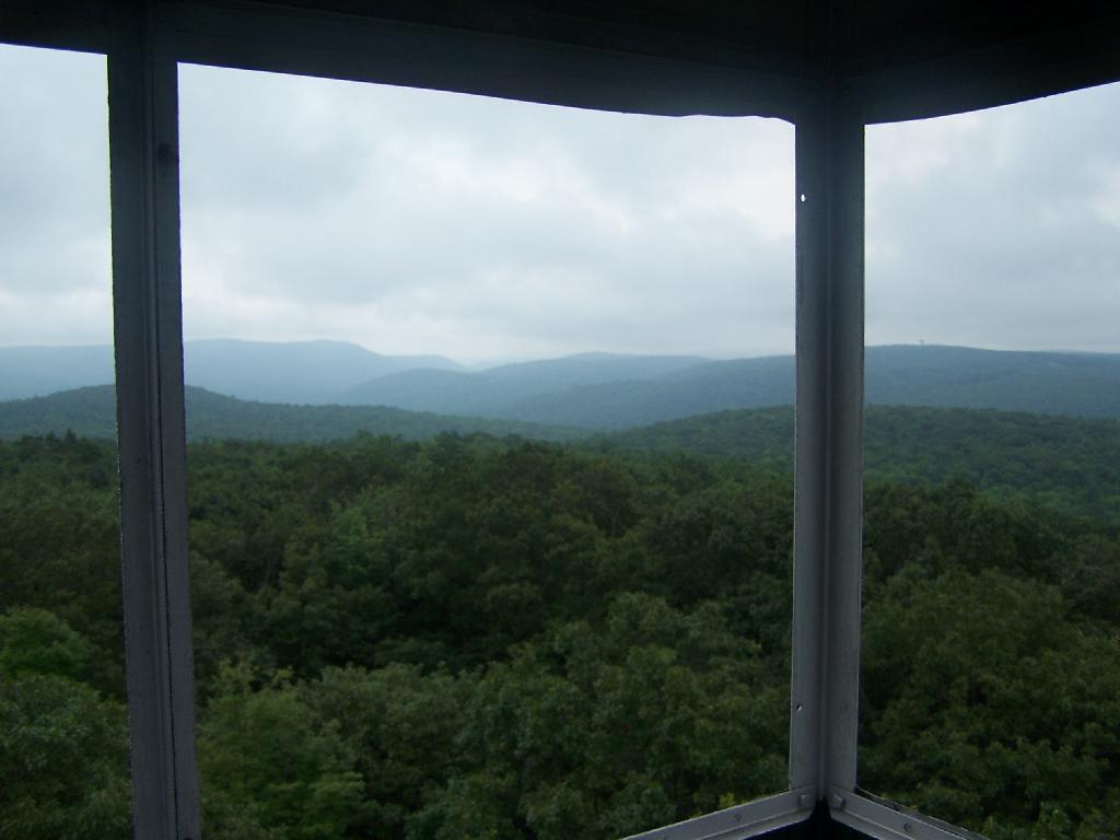
There are some views from the tower, but not super interesting or exciting. Maybe if it was clearer, with deep blue skies it would be a lot purtier.
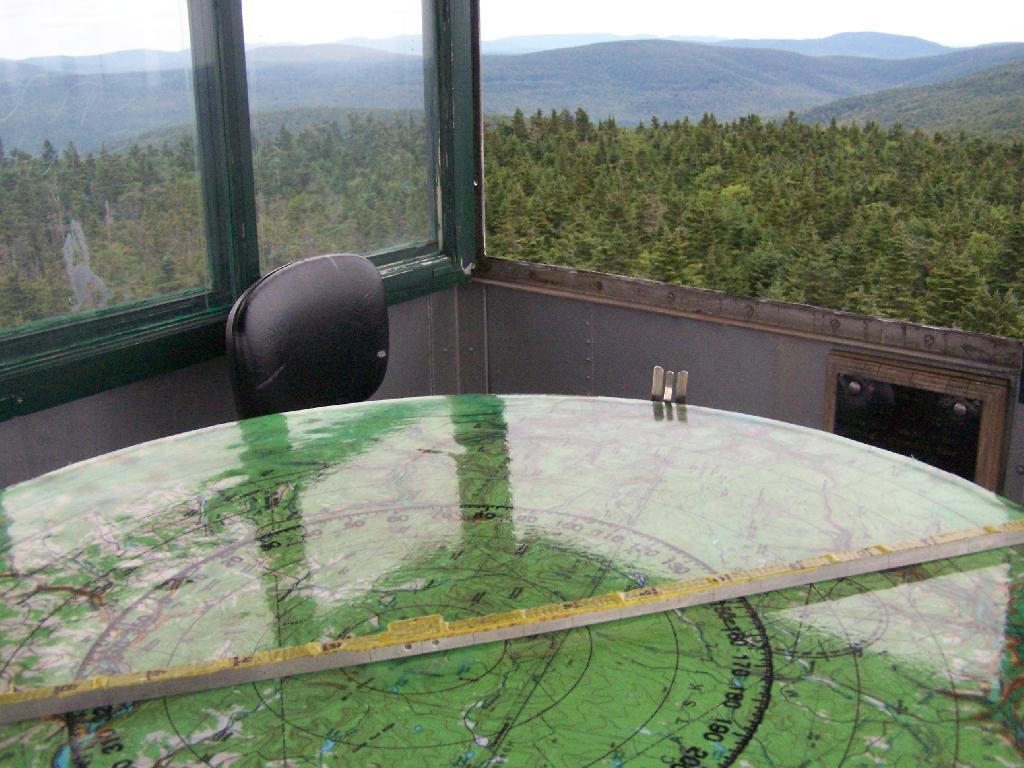
Here is the inside of the cab of the tower. There is a fixed map to help the ranger in the past observe where a forest fire was, and then call down to the firefighters.
Here’s the Ranger’s Cabin from up top in the tower.
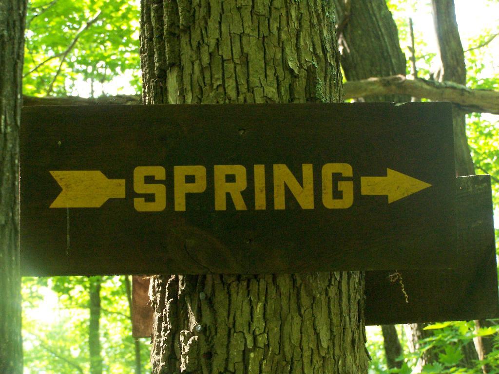
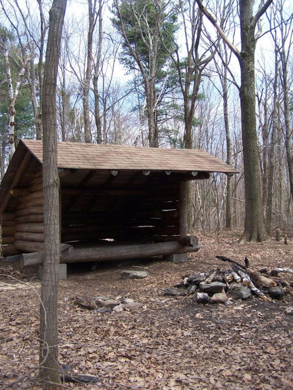
About 200 feet lower, and a 1/4 mile to the south, there is a spring. Also nearby is a lean-to, that is popular on the weekends.
I decided it was a nice day out, and I wanted to be able to say I had gone up to the tallest peak in the Catskills, at 4,180 feet. According to Wikipedia, it may actually be somewhat taller then that (as much as 4,200 feet), but they’ve never done a bench mark on the top of it.
The first part of the trail is fairly steep.
It climbs up to an old woods road, that is an easy walk and relatively flat, as it goes up to the Curtis-Olsbee Trail. You see the split between the old Jeep trail up Slide Mountain, and the the trail to Curstis-Olsmbee.
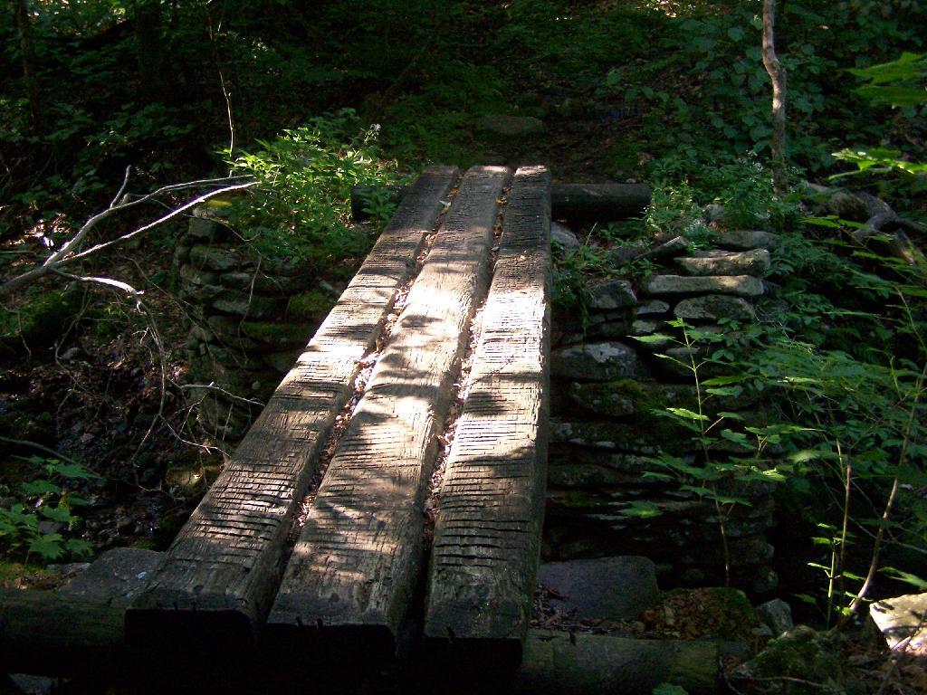
The trail crosses a high footbridge, without rails. It once was a full-size bridge for vechicles, but no more.
Reaching a historic marker of Curtis-Olmsbee Trail.
You climb, and then there are some places with views to South and West as you continue along. A few moderately steep places, but overall the trail is not super-steep.
The trail once you reach the first couple of views, remains relatively flat as you wander past several swamps and borreal forests.
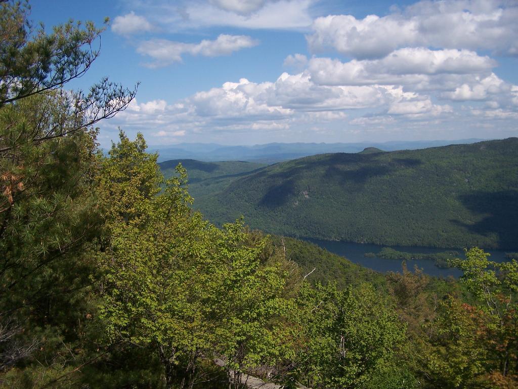
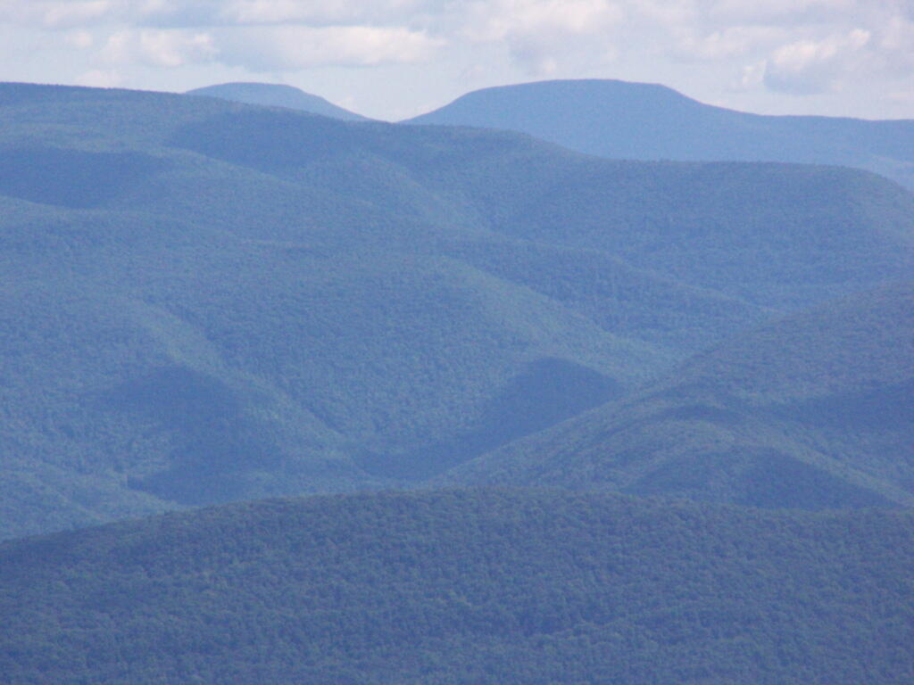
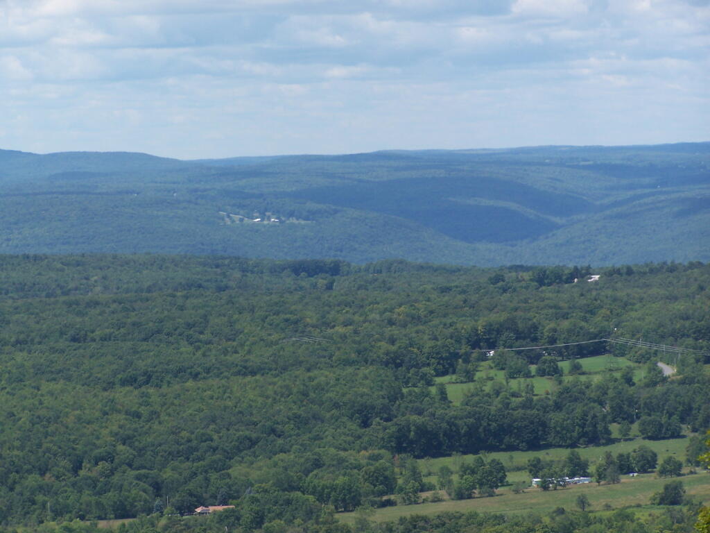
When you reach almost the top there is a point where you can see almost 70 named peaks.
Enjoying the mountains.
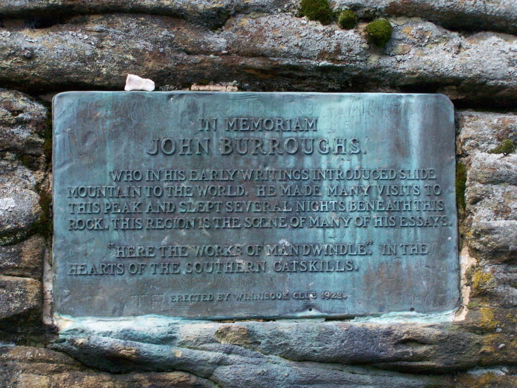
The top of the mountain is John Broughs Point. It has some interesting, partial views to the north and east.
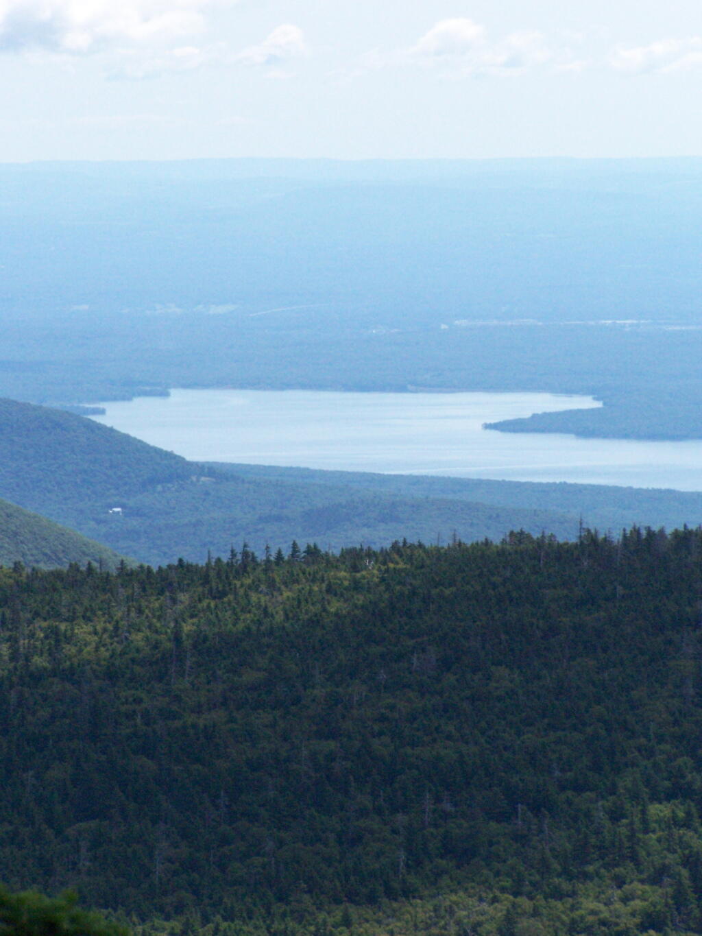
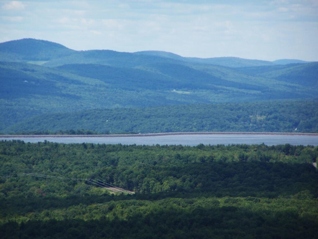
The Ashokan Reservior from Slide Mountain.
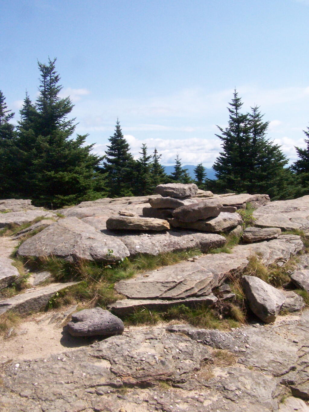
An established, primative campsite about 3/4 the way down the mountain or one mile from the Slide Mountain Parking Area.
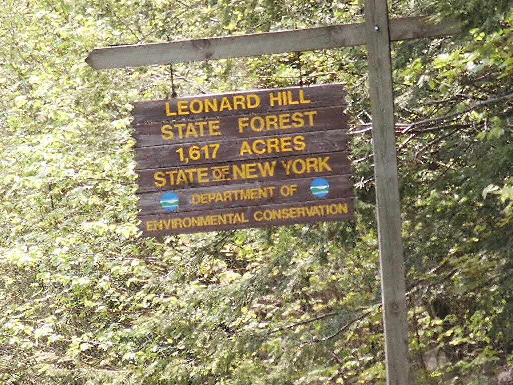
There is a currently closed, but slated for reconstruction, fire tower a top Leonard Hill in Schoharie County. You can drive up there with a car or truck as the road is well maintained.
You get there by driving out Broome Center/Potter Hollow Mountain Road, then taking a left up Leonard Mountain Road, which is located right in the middle of Broome Center. You take Leonard Mountain Road about a mile until you see an truck trail marked solely by a “Leonard Hill State Forest”, and take a right on it.
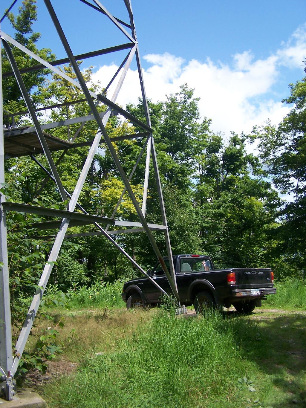
After about a mile on this truck trail, you are on a ridge between Hubbard Hill and Leonard Hill, and can see Leonard Hill Fire Tower ahead. Continue on that truck trail by another mile, and you’ll arrive up to the tower, and you can drive right up to it’s base.
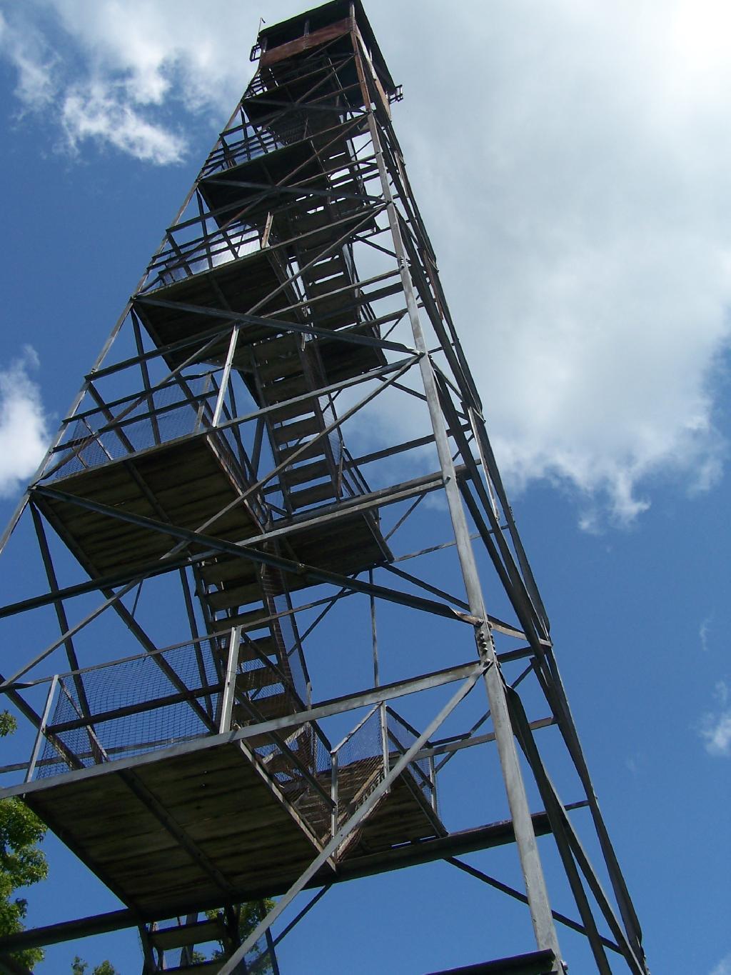
The tower looks a bit rusted in a places, but structurally good. It is awaiting a reconstruction project that the last time I had heard was delayed by concerns over the high cost of gasoline last summer.
To discourage people from climbing a potentially unsafe tower, they have removed the first two flights of stairs.
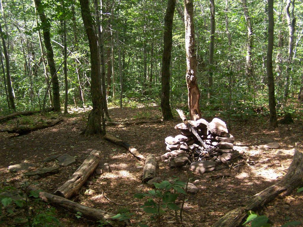
Just across from the tower is a beautiful campsite, with some fantastic views of the Catskills and the Schoharie Valley. I spent the following night down there, camping out. It was cloudy that night, however if the weather was beautiful, there could be a great sunset to watch from here.
Here is the Schoharie Valley.
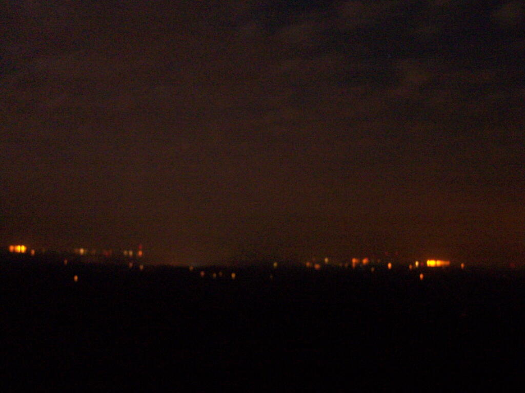
Blenhium Mountain and the NYPA Blenhium Power Reservior can be seen well from the campsite. The reservior is partially lit up at night from generating equipment and safety lights by NYPA.
Here is the valley below, and the mountains beyond it, the Emminence State Forest.
Lately it seems like I’ve be coming to many a fork in the road. It seems like they come much too quickly and frequently, and I often do not know which one to take. Do you go left or right? Which is the right way to go and which is wrong?
It’s frequently not clear. If there where signs to direct you along the way, the signs have long since disappeared. They’ve been stolen, because others didn’t want you to follow in their path. They wanted you to make up your own decisions, and find your own way.
Not that I ever was much of a fan of road signs. I’ve never been one to follow the directions of others, and often when I see one sign pointing to good and bad, I choose the bad road, just to see what’s down there. The good road, after all wouldn’t let me check out how well my hubs worked.
I spent a night up at Beebe Hill, at the Chance of Thunder Lean-To about two weeks ago. It was a very humid night, and it clouded up much too early, however, it still was enjoyable experience.
My camera’s batteries where weak, as this was a last minute decision to spend the night up there, so some of these photos are from a previous spring pictures.
As you can see, it was very hazy at night.
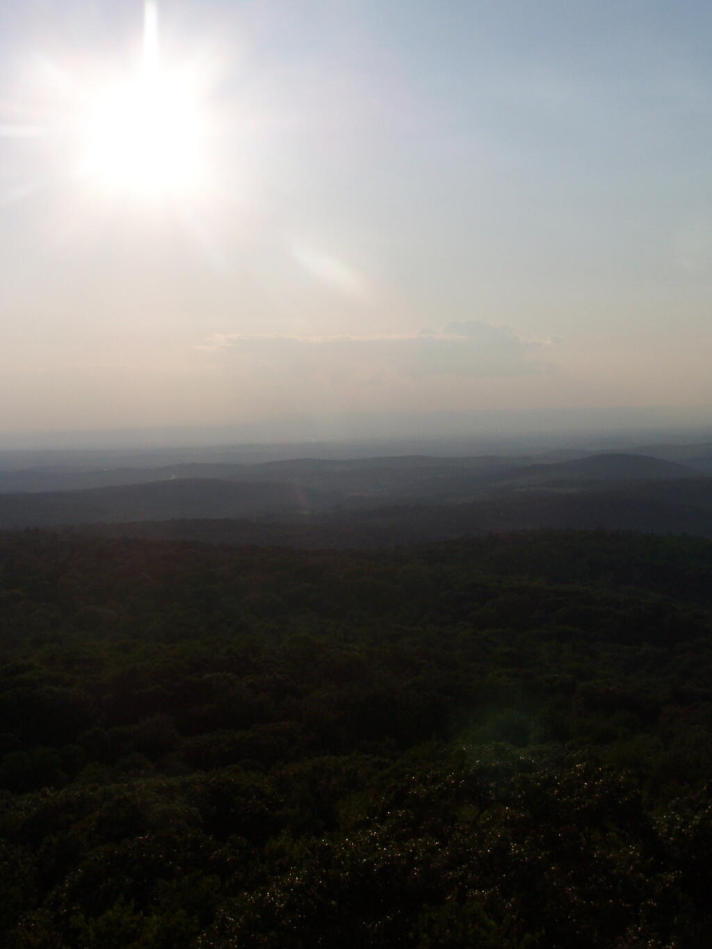
The sun sets into the haze.
By night time the wind was whipping around, with the steel in the tower giving a bit, and it was hard to get a steady photo on the tower, even with the tripod. Yet, it was so beautiful — I went up there at 9:30 PM then once again at midnight. You could see the lights from Ravena to Hudson from the tower, including farms and houses, and while the moon was still out, the outline of hills and valleys, and very faintly the Catskill mountains. It was amazing.
The next morning it was very foggy out from the humidity, almost looking like rain, but it was not raining.
I descended the mountain, headed home around 9:30 AM, as I had to get cleaned up for the Bethlehem for Peace Picnic.
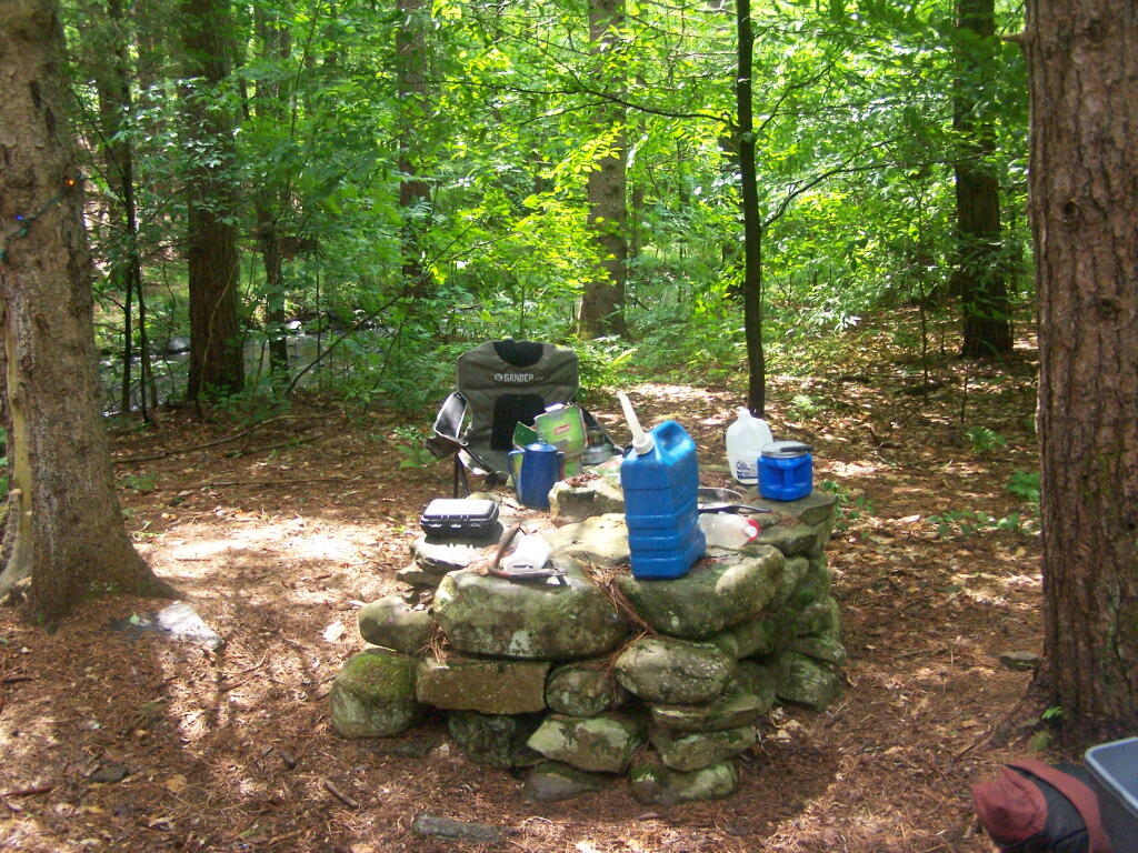
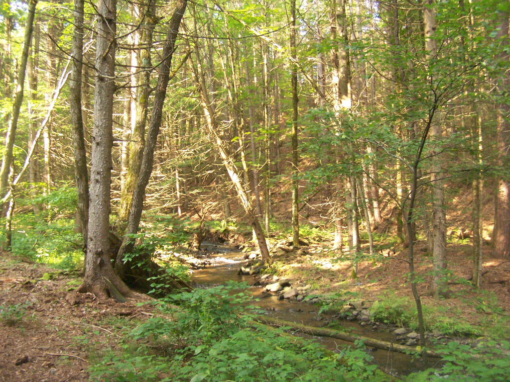
The primitive campsites at Burnt-Rossman are my favorite place to visit. They are in a remote part of Schoharie County, yet only a 10 minute drive from I-88 and a total of an hour and ten minutes from my place in Delmar. There is ample water, and the sites have nice little fireplaces, and places to camp where you can drive in.
It rained on Friday night, so I put up my tarp. I spent much of Saturday going between the creek up there with my feet in there, and sitting in this very comfortable chair, reading Noel Perin’s Third Person Rural. It was very quiet Saturday, seeing all but one pickup going past, plus a family in a minivan, and three people riding horseback with cowboy hats.
I had my Christmas lights up and stayed up really late several nights. It was great, and beat the horrible humid weather that people in Albany had to suffer through during this very warm weekend.