The month of September is when the summer season officially winds down. It’s also when it starts getting a bit cooler and clearer our, and when we start seeing the first hints of fall’s beauty.
It’s the time of high-harvest and a closing out of summer. Kids go back to school this month, and young adults go back to college. Primary day comes and goes, political candidates focus on their general election.
Leaves start to fall. The humidity drops even faster. Some of the nicest weather of the entire year comes about. It promises to be a pleasurable time.
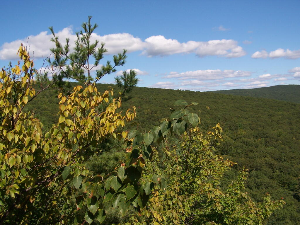
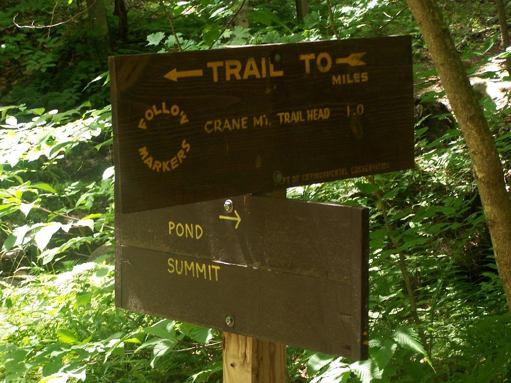
Lawson Lake is a County Park located about 3 miles north of the Alcove Reservior that is a popular local place to go canoeing, fishing, and swimming (although posted against swimming). It is located just off of Route 32, about a mile prior to passing the Alcove.
I frequently go down there canoeing when a have an hour or two to burn up, but don’t want to drive a few more miles out to Partridge Run to canoe on some of those lakes. Lawson Lake is located in a beautiful valley as you can see.
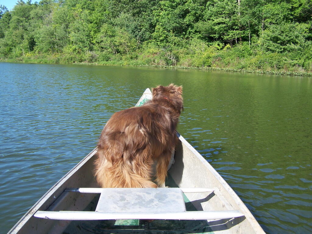
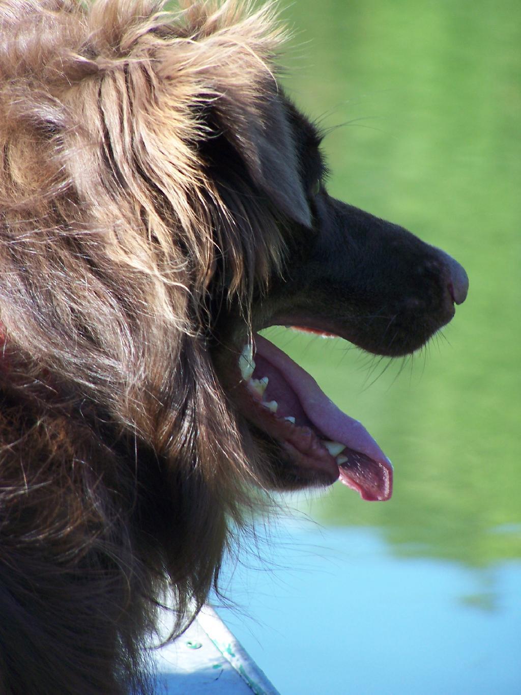
Usually when I go out canoeing, I bring the dog with me to help balance the canoe. Usually he is quite well behaved, except when he’s not. He understands left and right, front, and sit.
Here is the dog sitting down and looking out over the side of the canoe.
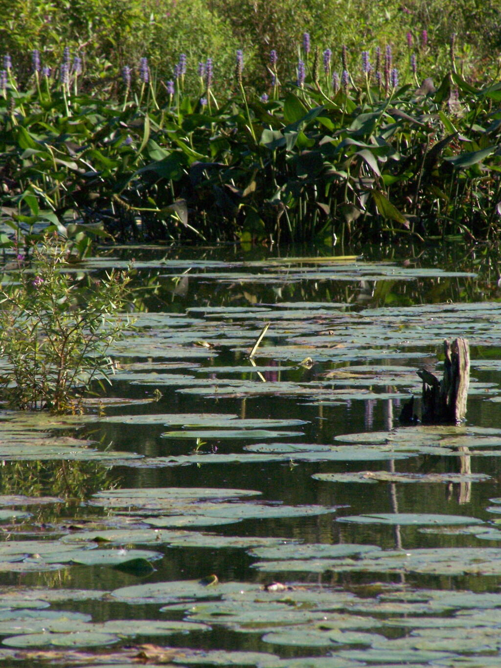
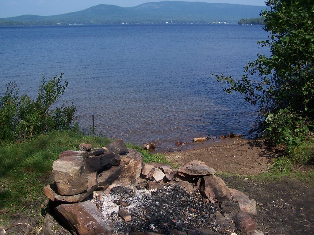
The edge of the pond is quite swampy, but with lots of wildlife, including great blue fishers, beavers, snapping turtles and other animals.
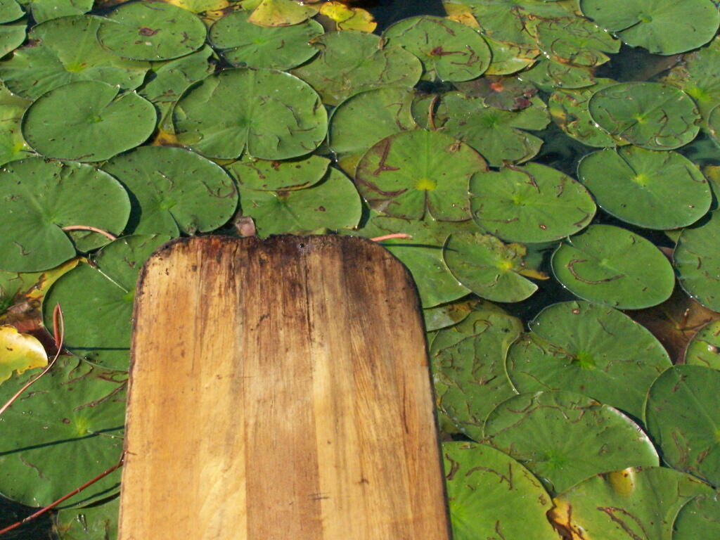
Along the edge of the pond are Pond Lillis that can be a bit difficult to paddle through. Good place for fishing, I’m sure.
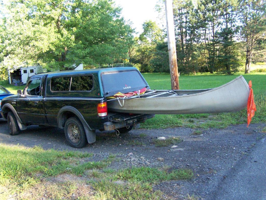
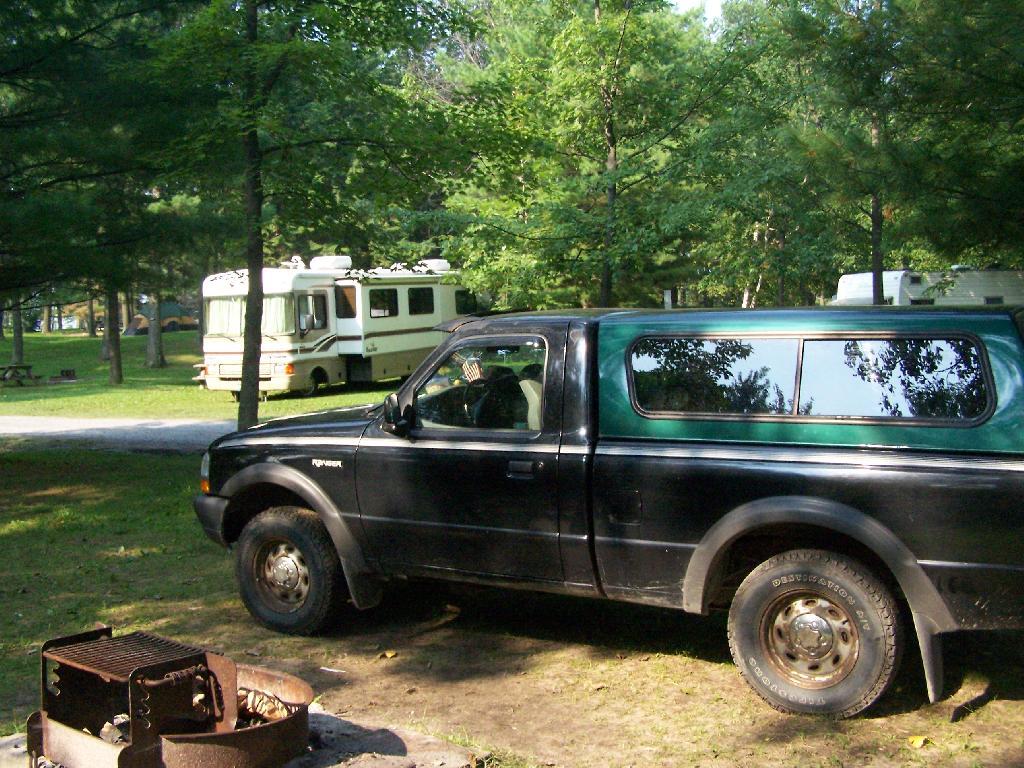
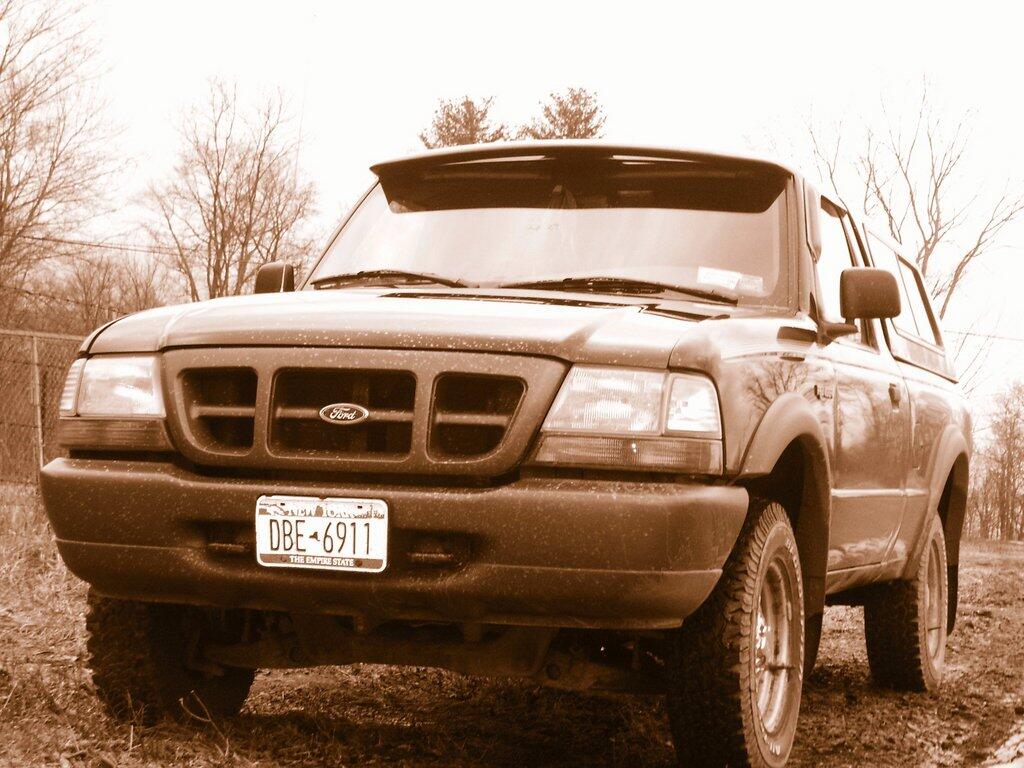
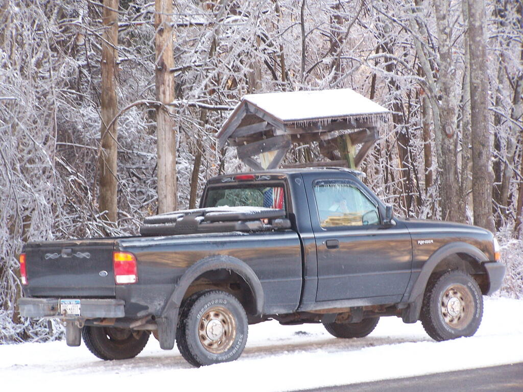
My little Ford Ranger pickup truck has a 6 foot short-bed. Yet, at least with one of the canoes my parents own, it fits well in the truck is well balanced. The canoe is held down by the truck cap, and tied in with a set of Bunche Cords. It rides increadibly beautiful — I’ve taken it over very bumpy state truck trails with no problems at Partridge Run, and driven dozens of miles at high speed like this.
Here is a map. It’s very easy to get there from Albany, and probably even a quicker drive then out to Partridge Run.
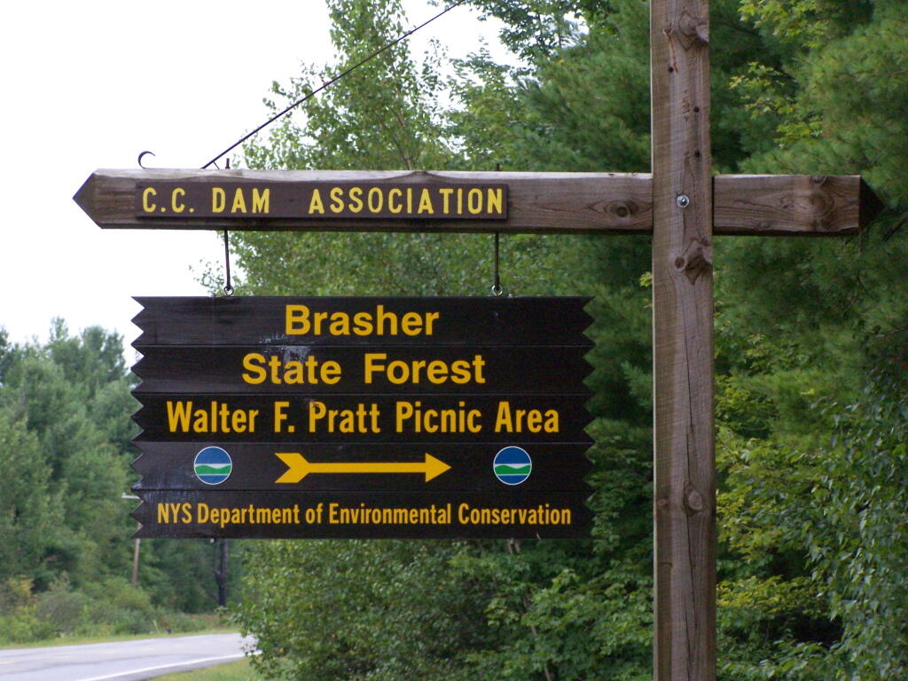
About 5 miles north of North Lawerence, on Saint Lawerence County Route 55 there is a sign for the Brasher State Forest and Walter Pratt Picnic (and Primitive Camping) Area, maintained CC Dam Association.
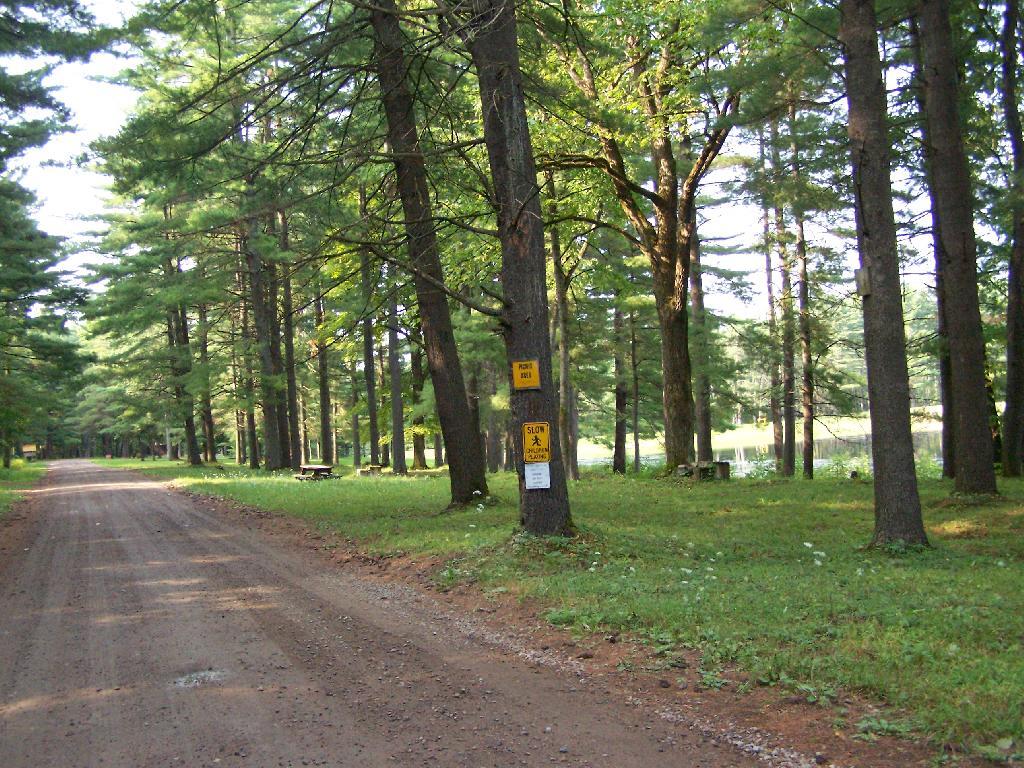
As you enter the camping area, there is a sign for the picnic area along the lake, and camping on the other side of the road. Originally they allowed camping on both sides of the road, but concerns about run-off and other pollution from campers relocated the sites to the other side of the road.
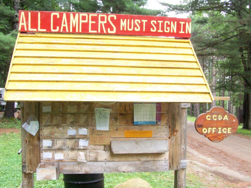
If you want to camp, all you have to do is sign-in on a card, and stick it in the retrospective window. This so they can contact you during an emergency. You can stay for up to 3 nigths, or longer if you get up to a 2-week renewable permit from the DEC.
The campsites are quite nice. Not all of them are as separated as this one, but I wanted one that was a little farther away for some peace and quiet. Also I figured I could listen to music as loud as I wanted to here.
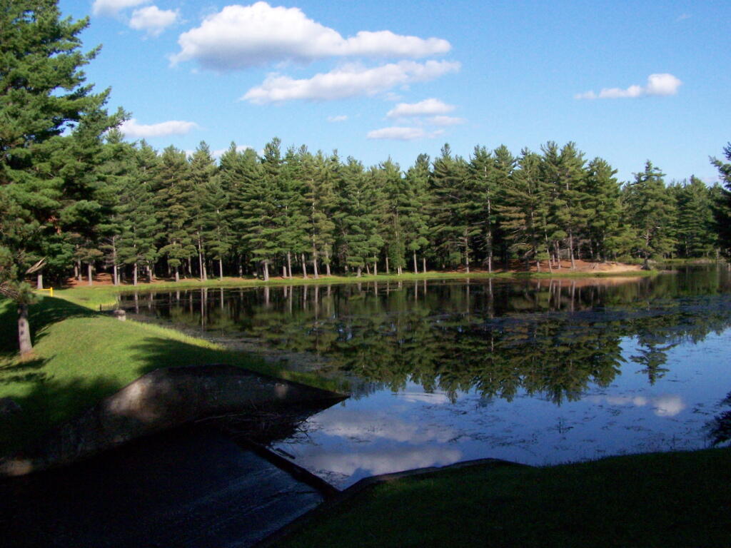
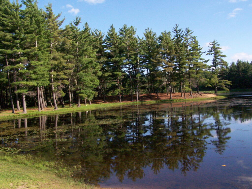
One of the major features of the area is a beautiful dammed up section of the Red Brook, that creates an artificial lake. The Civilian Conservation Corps Dam, built in the 1930s, is where CC Dam Association name comes from.
There is a swimming beach where people can swim at their own risk. As you can see, it’s some pretty nice swimming, although the lake is a little muckier then it appears in the pictures, and is a natural reddish color from the minerals in the sand of the Saint Lawrence County.
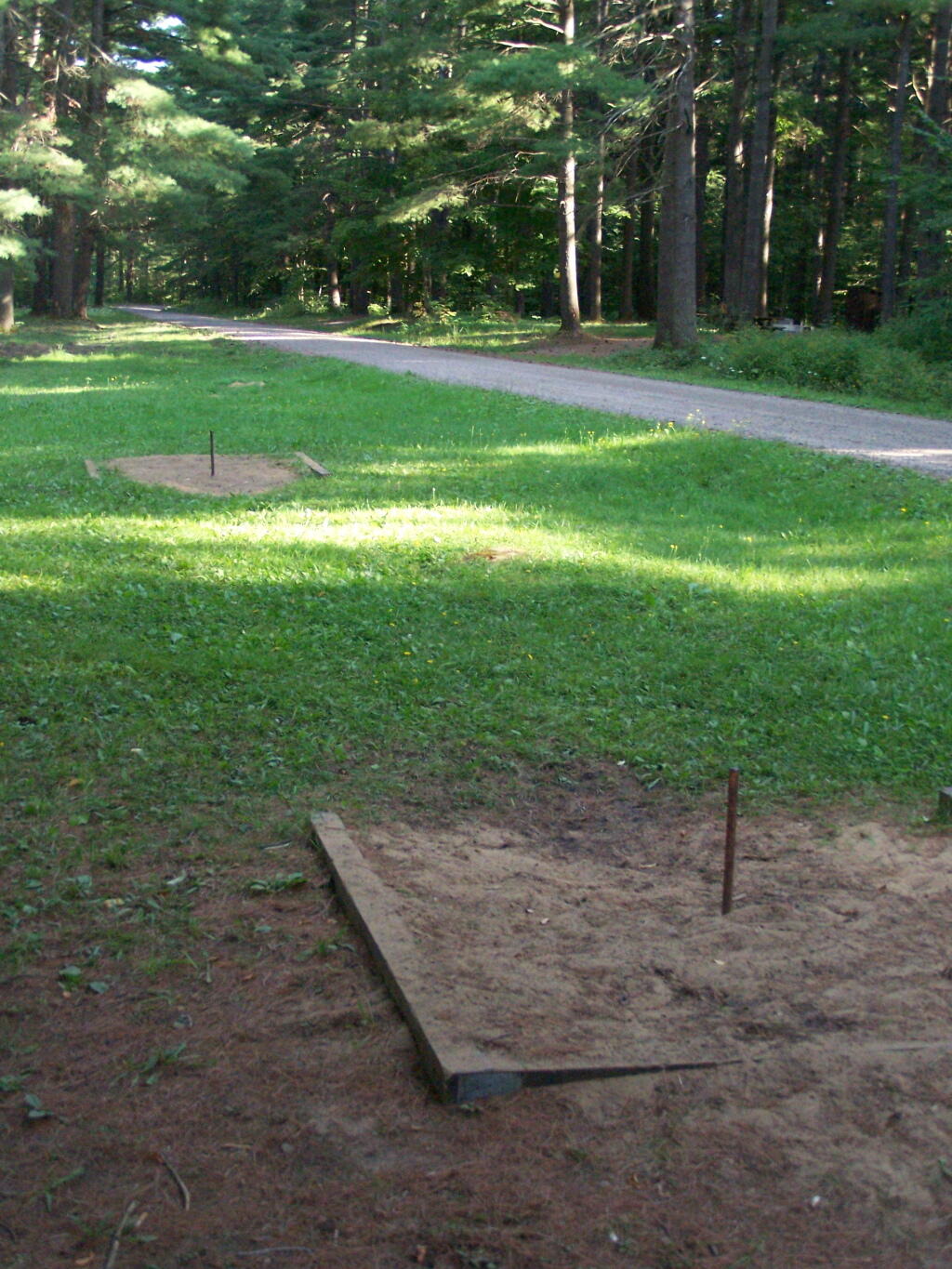
They have a horseshoe pit.
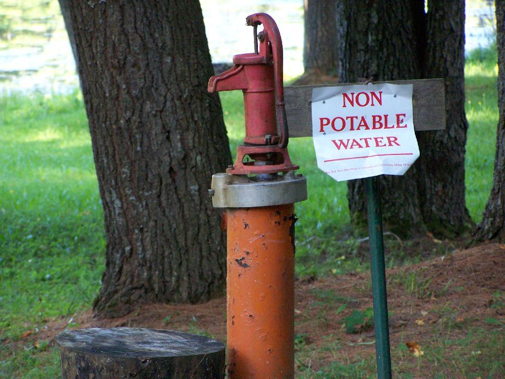
They have a hand pump for one to get drinking water. It’s marked non-potable, probably because it draws from the same shallow aquifer of the lake. You can easily boil it on a stove to make it safe to drink.
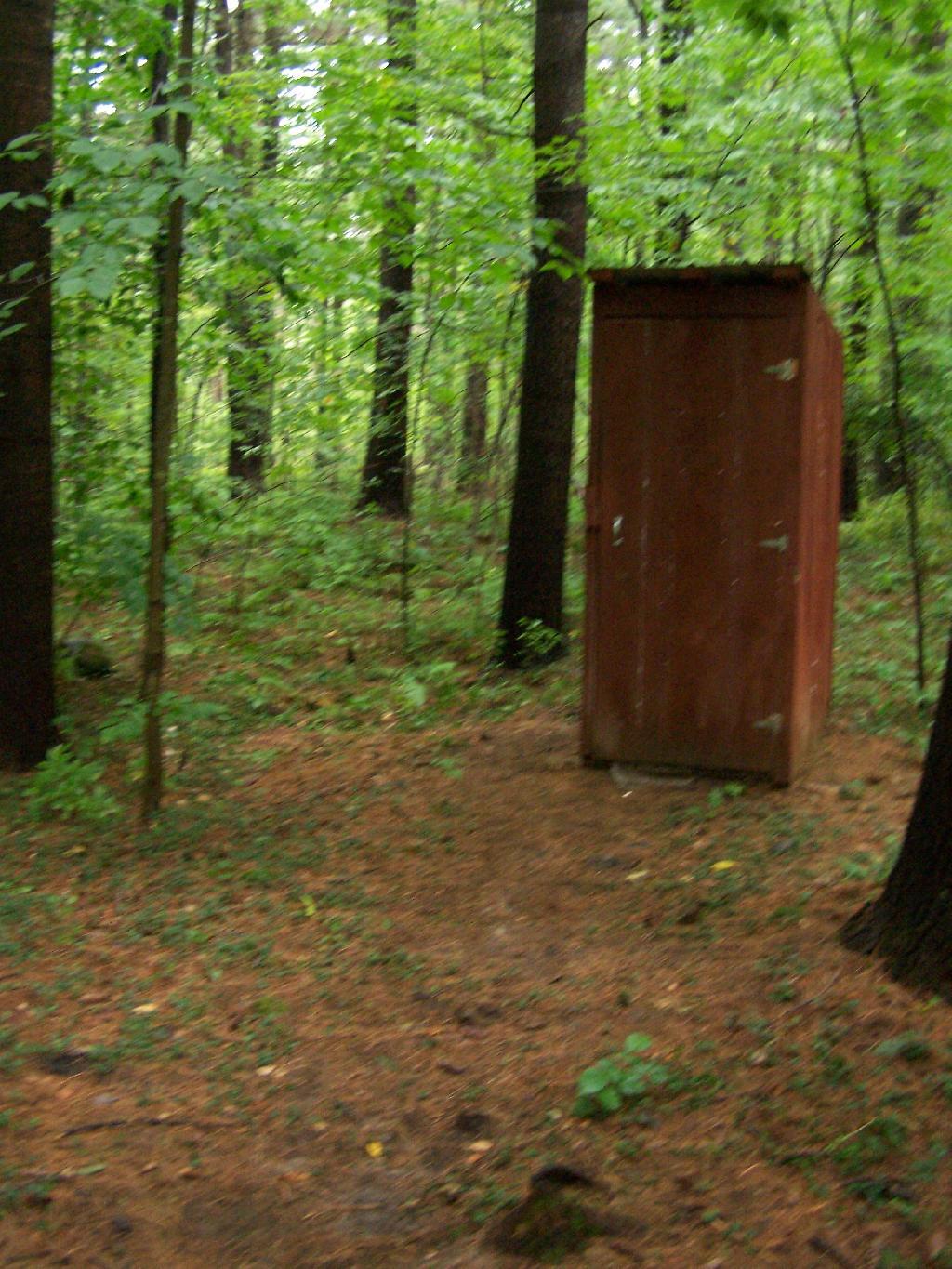
The outhouses are in quite nice shape and very clean as you can see from these inside and outside pictures.
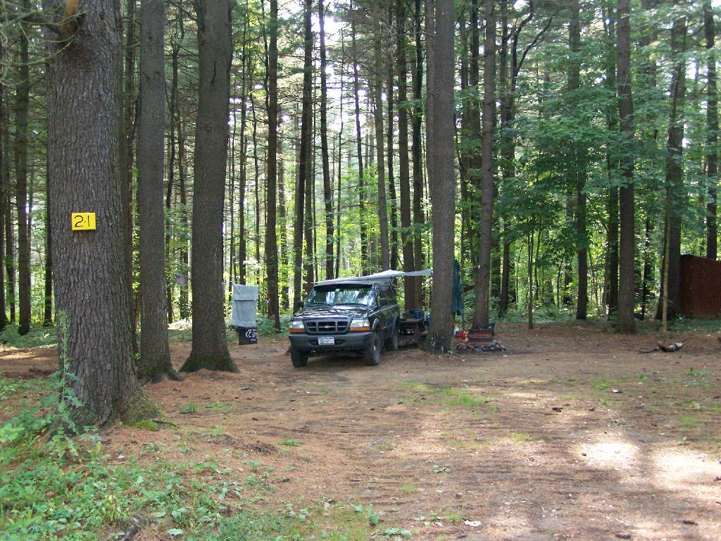
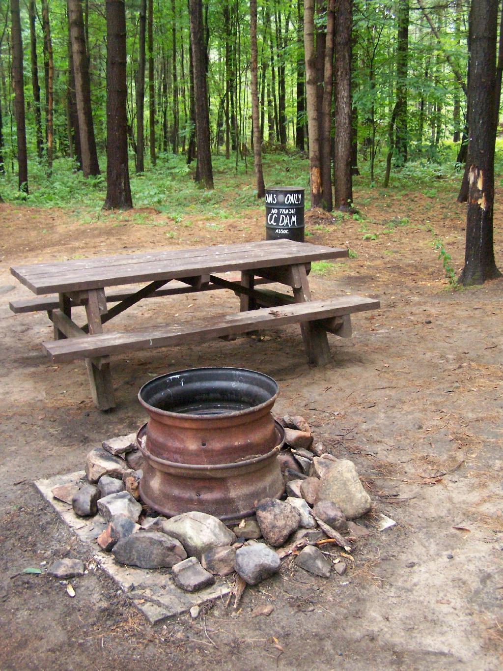
The sites are just wonderful. Here is Campsite 21 after I had put away all my gear before heading out. The fire pit rings vary, but for a free place, are pretty darn awesome.
The CC Dam Association is made up of volunteers from the Tri-Town Region of Saint Lawerence County, the nick-name for the Brasher Falls/Brasher/North Lawerence hamlets that dot the country south of Malone.
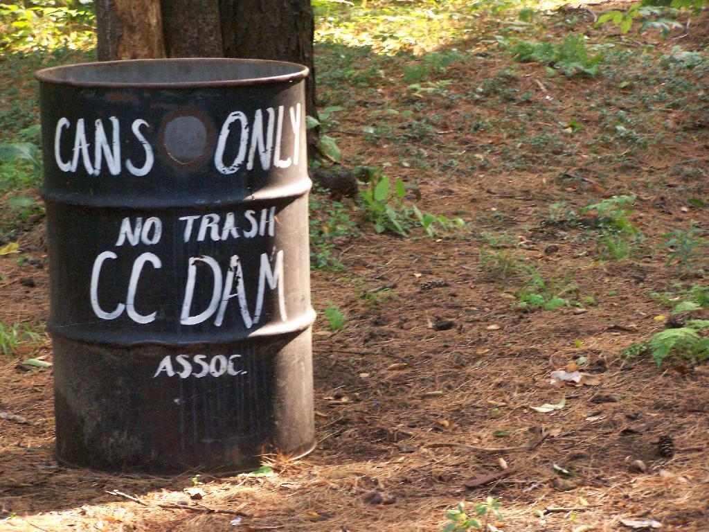
They collect old beer cans and accept donations via the mail for fundraising. Since camping is free, and the place is so well up-kept, I’m sure they apprechiate the help. Not to mention, collecting beer cans probably reduces litter, because people can’t really burn them, and some can be lazy about packing out their trash.
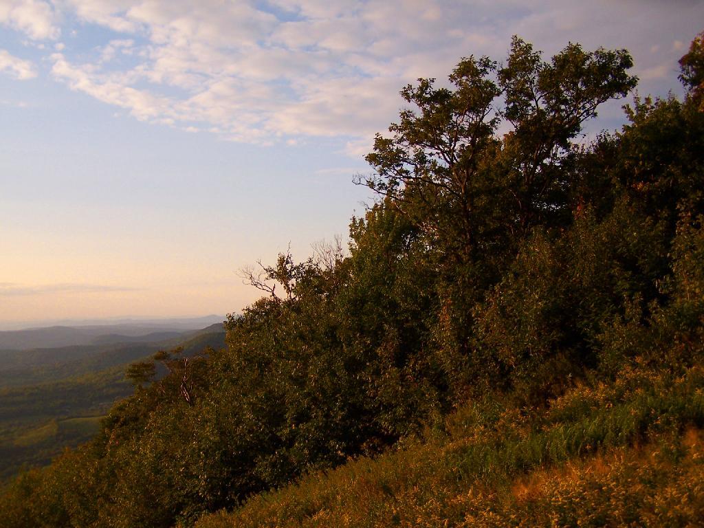
There are a number of other marked campsites on other truck trails in Brasher State Forest, including down by the Tri-Town Horse Trail area near Brasher Falls. In addition, there are dozens of miles of truck trail to drive legally in a pickup, ride with a horse or mountain bike, or illegally on a quad.
Here is a map of Brasher Falls State Forest and it’s relationship to Massena. You can zoom in for more details. NYS DEC Land Mapper has a run down of the trails.
I’m not sure if I have ever gotten lost before in the woods. There has been times when I’ve taken a trail to a surprise result. I don’t always have a perfect map in my head of every area I’ve been to, and sometimes when visiting a new area, I will loop back upon on a trail and be quite surpised at that fact.
Sometimes I will run into something unexpected in the woods that makes it impossible to reach my destination the way I originally expected. The cliff might drop off steeply, their might be a pond in the ways, the trail might be really muddy and mucky, or their might be a hunter up ahead. I usually find my way back to the trail without a problem.
There have been times when I’ve had difficulty locating one point or another. I almost always find it, after a little searching, if it’s nearby. Sometimes I will give up and go back, especially if my map’s quality is poor or if it’s not readily apparent where it should be.
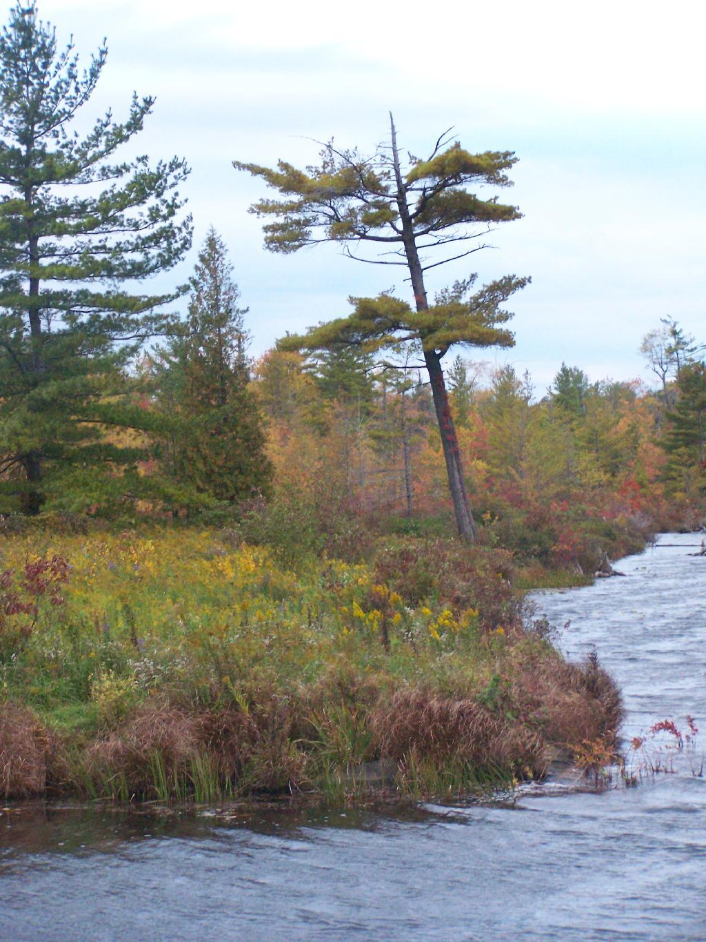
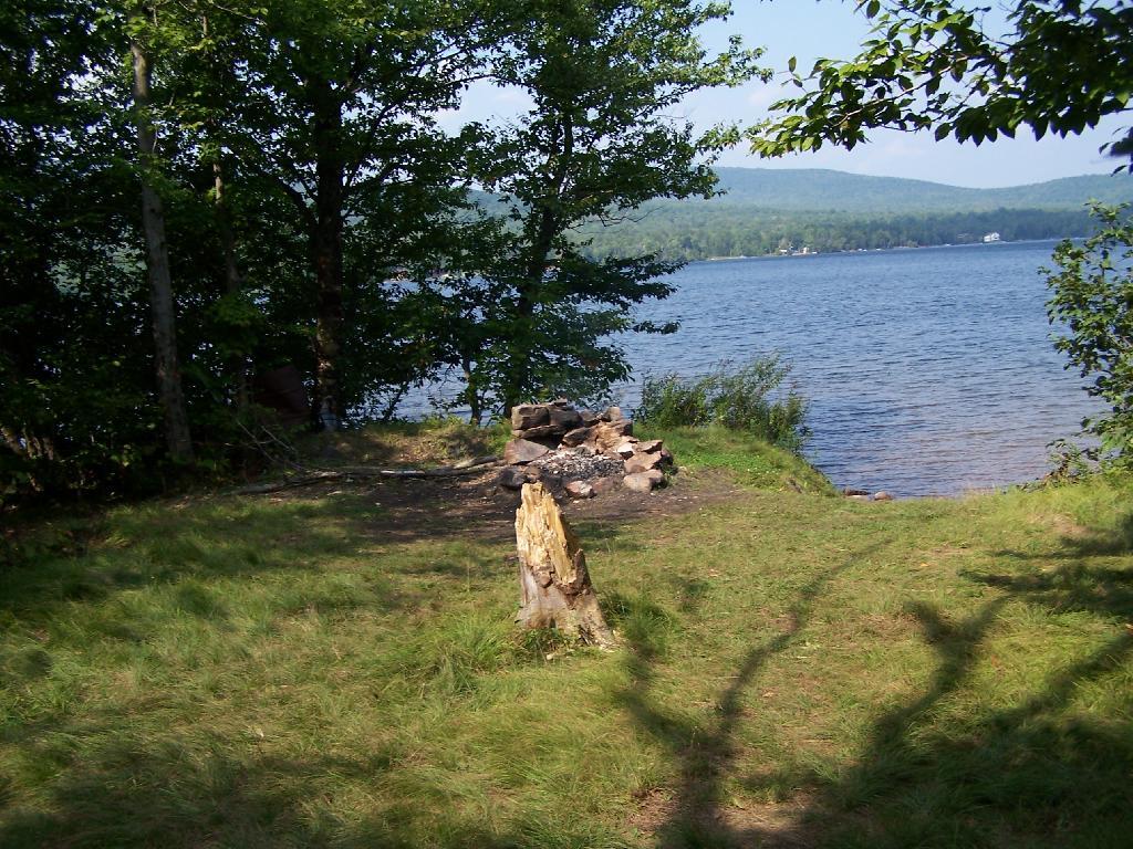
On Lake Chazy, the state owns about 800 feet of lake front as State Forest. There is three campsites here, one of them on the lake, and two along a private road / driveway.
This parcel exists on the far end of Wilfred King Road, which runs for about 5 miles before you reach the end where the parking area and the private drive you take down to the parcel.
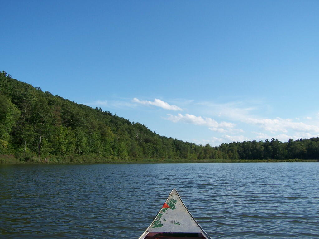
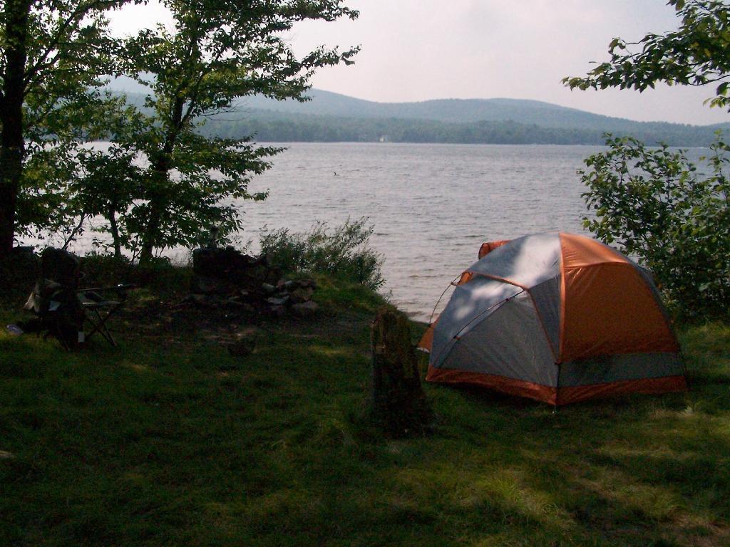
The site on the water has great views, a little fireplace, and lots of space for setting up two or three tents. It’s just as much a paradise as the photo suggests.
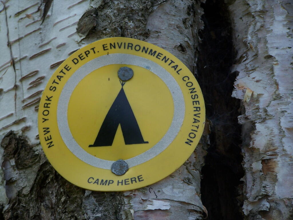
“Camp Here” marker shows that this is a designated site. When your in the Catskills or Adirondacks they tend to be fairly strict about the 150 feet rule from water and roads, unless you are a designated site.
Down by the lake in the afternoon. Imagine a book in my hands, and you can see how relaxed I am.
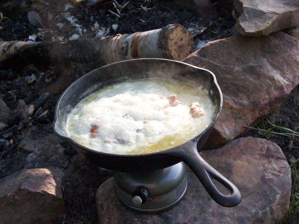
Cookng some dinner on my camp stove. Tonight I’m having sausage in Rice-a-Roni. The image makes it look like some kind of sinster stew that I’m making up, make out of small children I boiled up and mixed with grits. It’s not that for sure, and was far more delicious.
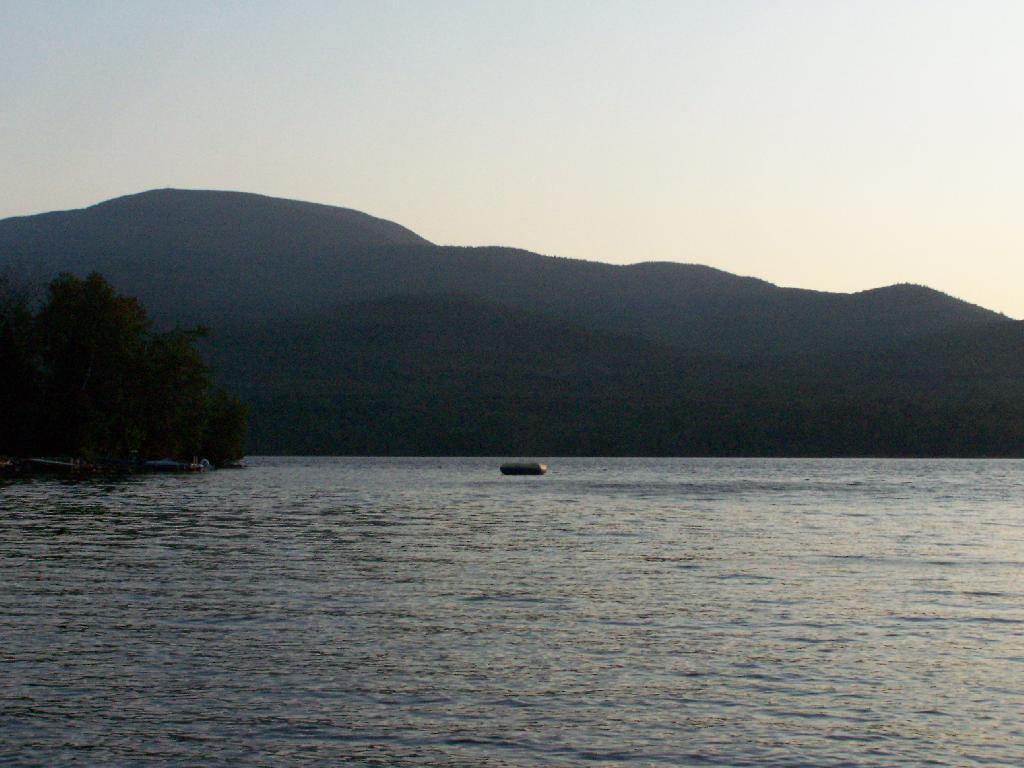
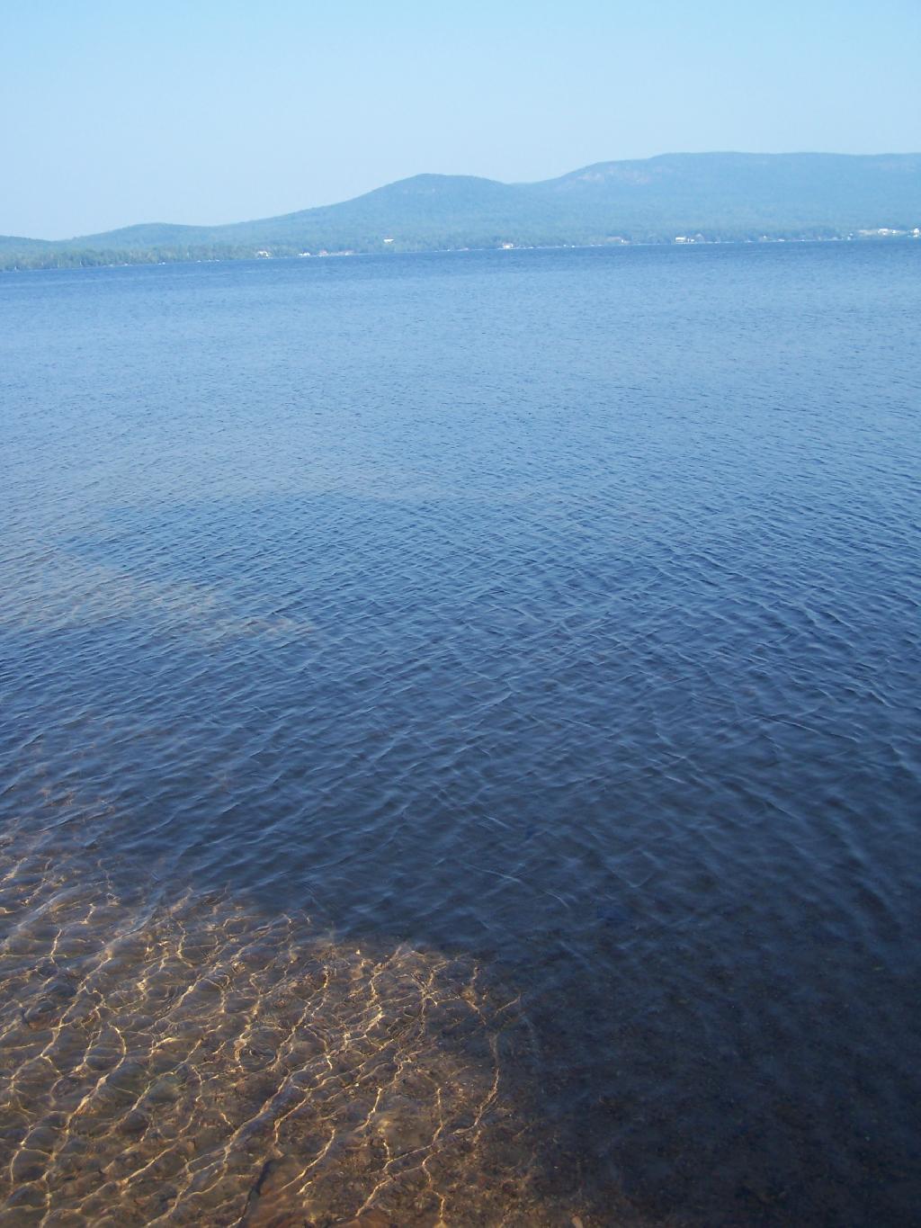
If you go out in the lake a little ways for a wade, you get a good view of Lyon Mountain. The water is shallow, and if it’s as hot as it was when I was there, truly delightful. While you will have to drive approximately 10 miles around the lake to get to the parking area to climb Lyon Mountain, but it’s beautiful with the fire tower up top.
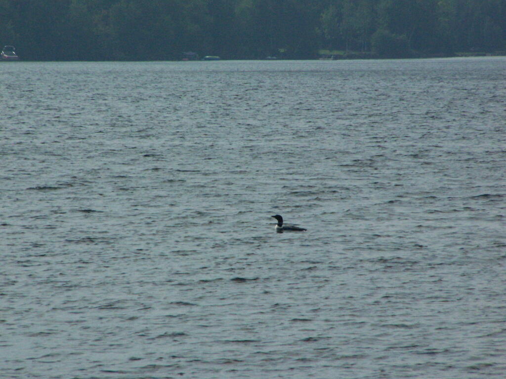
Sitting down at the lake you could hear the errie call of the loon.
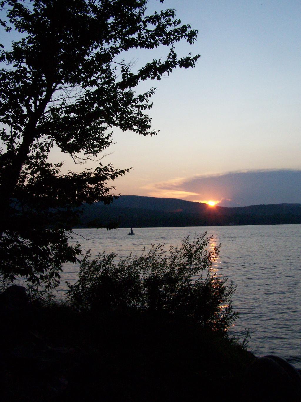
The site has good south-west views over the Lyon Mountain where the sunsets in the evening. The sunsets from here are amazing, as you watch the fire burn. The wood supply is limited, so you may consider packing in your own wood supply.
The important thing is that if you go there, make sure to drive all the way to the end of the road, past where the blacktop ends and after where the state forest starts. You will know when your there, and if you don’t see signs for the state parcel or the campsites, you haven’t driven far enough.
Also, while it’s posted against driving motor vehicles past the parking lot, as it is a private driveway, you can drive almost up to the lake front campsite if you don’t want to walk with the stuff in. That said, it’s only about a 1/4 mile hike from the parking area, so it’s fine to make multiple trips throughout the night and day like I did.
Here is the site on Google Maps. The hikers are where you park, the trail follows the driveway for a while, and then turns for about 150 feet to the campsite right on the water.
The first night of my vacation it was very hot and sticky out. By the time I had reached Plattsburgh I decided I would just find a campsite at Cumberland Head State Park. I probably could have gone to a nicer state park, such as Malcom Reservation or AuSable Point, but I wanted to be close to Plattsburgh and spend a lot of time visiting old haunts in the town and up at Point Au Roche.
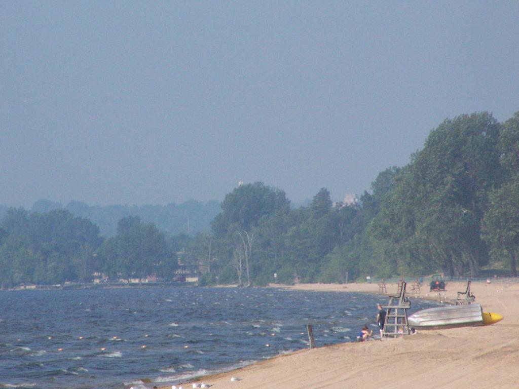
Once I got there I dug out my swimming truck, and ran for the swimming beach, as I was hot! Driving up from Albany in all the heat and humidity, I got a terrible sunburn through the windows of my truck. I also don’t have air conditioning, and the humidity was pretty extreme on this Sunday morning.
The water was nice. The campsites on Cumberland Head State Park are pretty close together, and are like camping in a giant field with a bunch of other people. I’m not a fan of state campgrounds at any rate, but it beat trying to hike up Pok-O-Moonshine and look out to nothing from the fire tower.
If you want cheap digs near the City of Plattsburgh, then you can’t beat Cumberland Head State Park. It’s only $15 a night, plus a $2.50 service charge for the first night, and is within a mile from downtown. The beach is nice, and when it’s not so damn hazy, the view of the mountains is amazing. That said, I’m not a fan of state parks, especially the “extreme enforcement” of quiet hours, but those showers are nice in such hot weather.
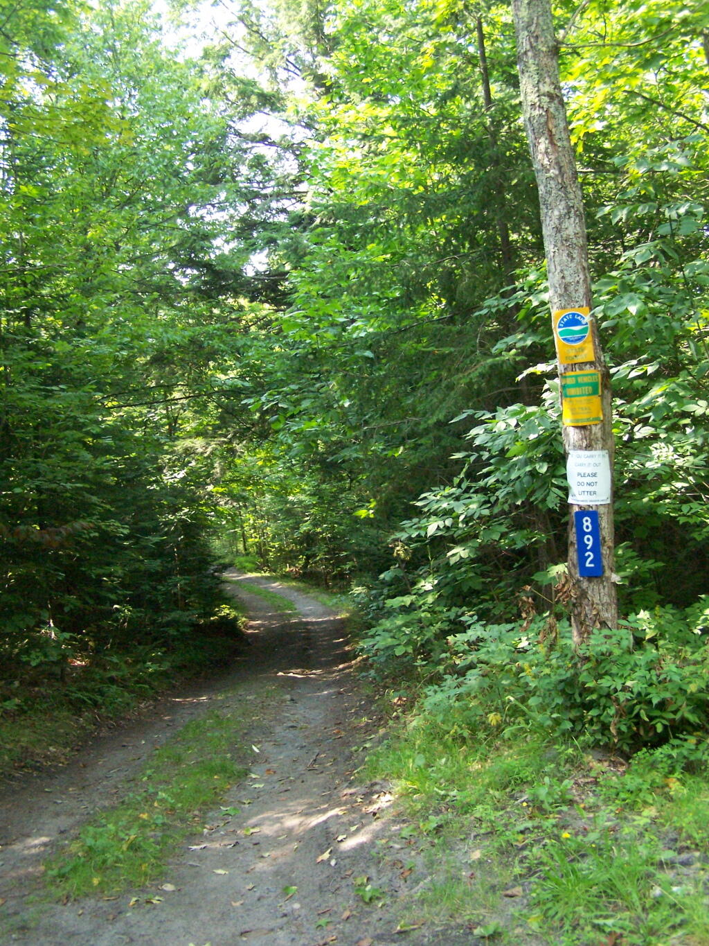
Throughout the forest preserve and other state lands, there is a fairly extensive network of state truck trails, which are dirt roads that a designed for motor vehicle travel. They are designed to get you across what sometimes is quite vast expanses of state land.
The thing is they have not been well maintained. They may be dirt roads, with minimal gravel cover and minimal bridges to allow logging trucks through. But they should have minimal maintance to keep bridges up and maintained, including replacing wooden decking when needed. They should fix the worst of the potholes and muddy sections, and where the road has washed out.
Yet, the state has repeatly failed to keep up these roads. When a bridge washes out, the state’s response has been to close the road. When a road become rough and rutted, the state does nothing at all — and just hopes folks’ pickup trucks have the clearance to make it.
There may be many priorities out there for the state. But for the many hunters, hikers, snowmobiles, and other users of state land, they should take more of an active effort to upkeep the state truck trails.