Like most Americans, I believe strongly we should do something about Climate Change, to limit it’s most severe impacts. Yet at the same time, I am fully aware of our needs for energy services – the stuff that energy provides for us like lighting, transportation, powering electronics and motors, heating, and cooling. We need a lot of energy too – as I noted when the BP Oil Spill occurred – all the oil that spoiled the ocean could only fuel America for about 45 seconds. Turns out the oil spill severity was much worst then originally predicted, but still it was only one and half minutes worth of petroleum consumption for the United States.
So how do we get there from here? I do not advocate a “crash” diet on petroleum and other fossil fuels. People really like the energy services that fossil fuels provide, and most people aren’t give up their vacations using their petroleum fueled automobiles, or heat and air conditioning in their houses – especially for a “projected” future problem. Electric lighting and computers are essentials of modern life that most people aren’t going to want to give up either. Cities – particularly large cities – have such intense energy needs, that fully substituting with renewables isn’t going to be practical, much less cost effective.
What needs to happen is a big compromise. We need reasonable but strong energy standards that promote and preferable renewables and energy efficiency. Those standards can’t compromise the core things that make up the necessities modern life – including reliable and affordable energy and products. We have to continue to develop fossil energy sources responsibility. At the same time, we need to choose a realistic climate goal that matches our need for energy.
There are those out there that say we can’t afford that much Climate Change destruction. Essentially slaughtering millions of people and destroying billions in property to ensure our society has the energy it needs, really isn’t a pretty choice. But it’s a realistic choice. There is no free lunch on climate change – and protecting all the energy services provides for our society is important. America needs services that energy provides, and it has to be balanced against the painful consequences of consuming that energy.
Today’s debate needs not be whether we will need fossil energy to provide for energy services we all depend on and deeply enjoy. We will need fossil energy for the foreseeable future – and probably more of it in coming years. The question is can we burn it cleanly, and efficiently so it provides the most energy services for the least amount of actual fossil energy consumed. We got to take the oldest and dirtiest power plants and replace them with modern technology. We also got to boost renewable energy to be the preferred source of energy whenever it’s reasonably cost effective.
In late April, I mentioned I was working on a new version of my blog that would use PostGIS, and later changed my mind to using MySQL GIS Extension. A big part of the blog would be to mix content types together by geographical location – so that pictures, maps, content and stories about a particular piece of land would be grouped together, rather then spread out on increasingly disordered different parts of the blog.
The project never was abandoned but it kind of got put into recess when the summer and camping season got underway. I certainly did not want to s tragedy inside, screwing around code, and doing a lot of testing to implement which is a total re-write of the blog code, connected with a vastly different MySQL database then the existing code.
I have pretty much completed out my vision of what the new blog will look like, and the PHP code I wrote to convert over the data is done. I don’t expect to create any new features for it that are not already envisioned, but at the same time, not all the needed code is written.
Once the snows come and it’s cold out, I will spend more time working on the new blog code, safely tucked away in a seperate folder on my laptop’s webserver, and backed up on the secondary hard drive. While the new blog may be 6-8 months behind schedule, I will happy to get away from the somewhat broken and certainly outdated code that currently props up the existing blog – some of which dates back 2005 or earlier, when things were a lot different/
In the mean time, I am working on more new daily content, and make sure any day I don’t have anything new or interesting to post the blog, that we will at least have re-runs of some of the interesting content of days past. I am also going to look for new and interesting content using GIS data to produce Google Maps and other things of interest.
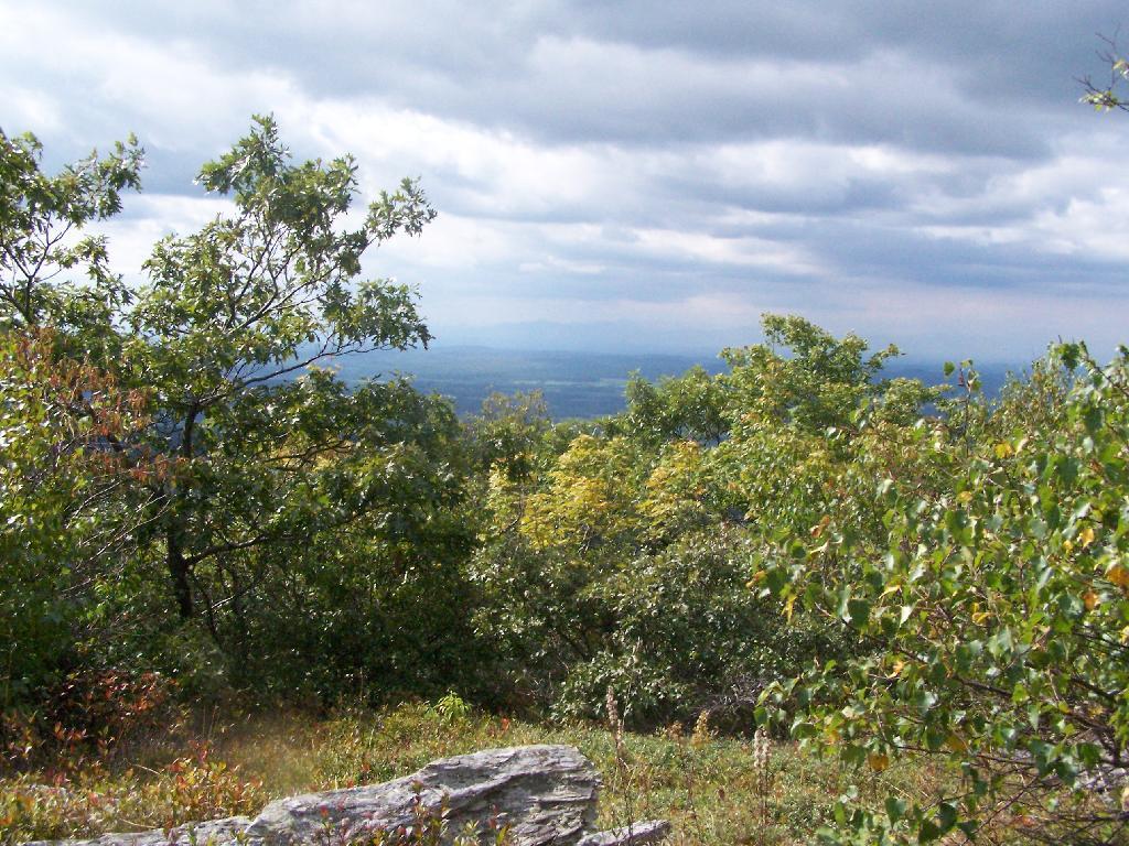
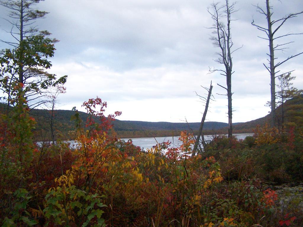
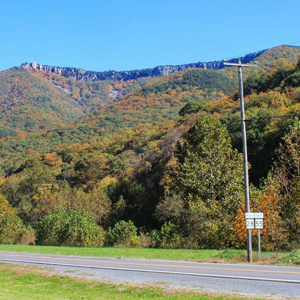
This past summer I have spent 3 weeks at Powley-Piseco Road up at Powley Place, about 10 miles north of Stratford. Despite visiting and camping in many other parts of the Adirondacks, this area has a special part in my heart.
I really like Powley Place. I like the sandy “plains” and the marshy areas. I like being able to see those handsome cedars lining the East Canada Creek, and wander out at night at look at the stars. I love feeling of sand on my feet, and cooling off in the East Canada creek.
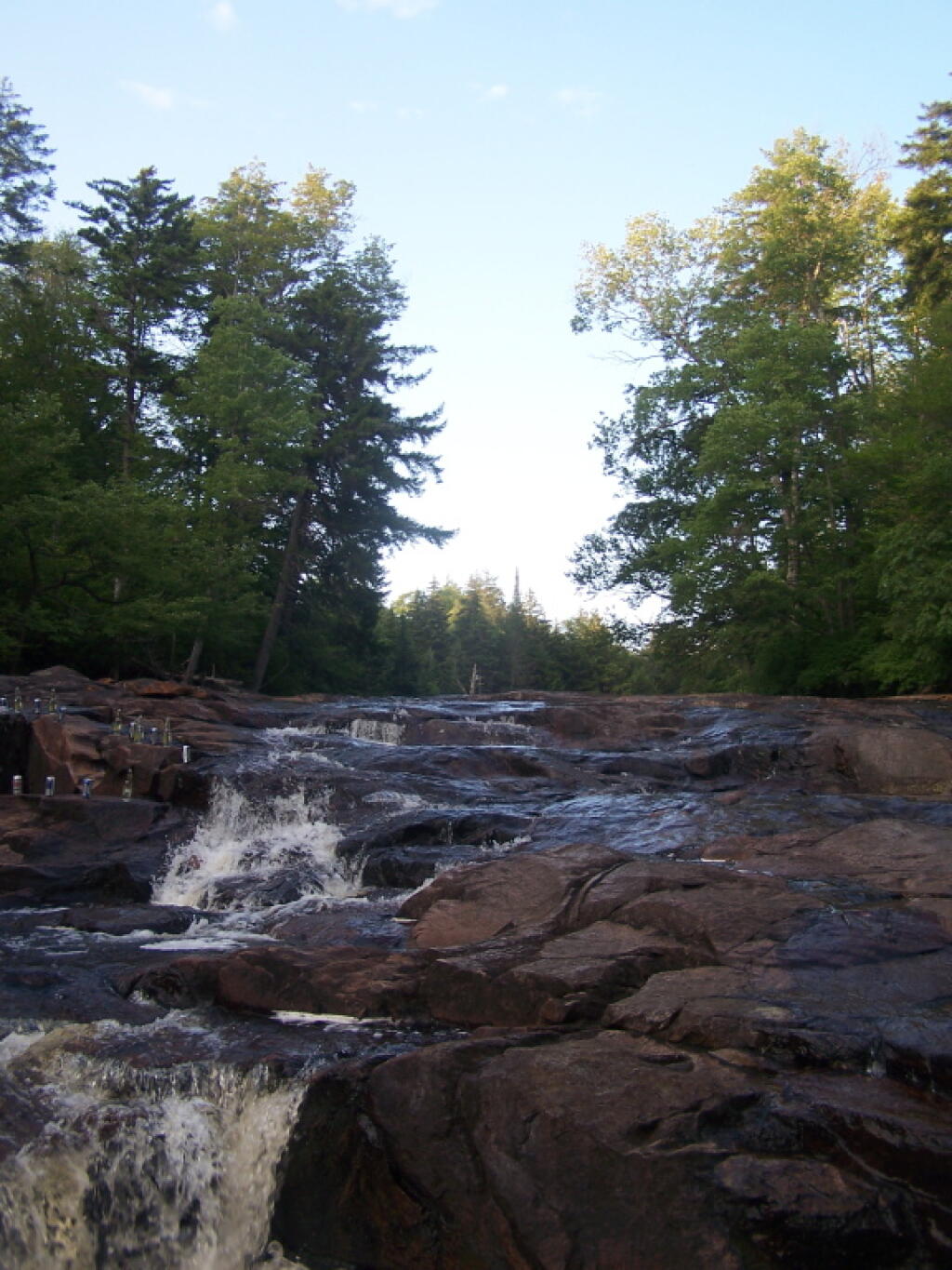
The Potholers always have the perfect amount of ice cold water in even on the hottest day. You get covered by the spray of water that is never too low in the summer. It’s always so delightful.
All of it is relatively close together. Unlike the Moose River Plains, you don’t spend all day driving from destination to destination. And its much closer.
Some of the Tea Party activist-types have been known to hold signs up that say “Keep the Government Off My Medicare”. Liberal commentators gets a kick out of that, by pointing out that Medicare is a government program and would not exist without the government. That is logical, but that is not the implied meaning — that government is something different then the public as a whole and functions the government is supposed to provide to the public.
Government doesn’t always serve the public interest. Indeed, in many cases it does not serve the public interest because of citizen apathy and because certain insiders have more power then average citizens. Laws are often written in smoke filled rooms, and are used to justify policies decades later that are not supported by the majority, but instead the small minority of special interest groups that originally got them passed.
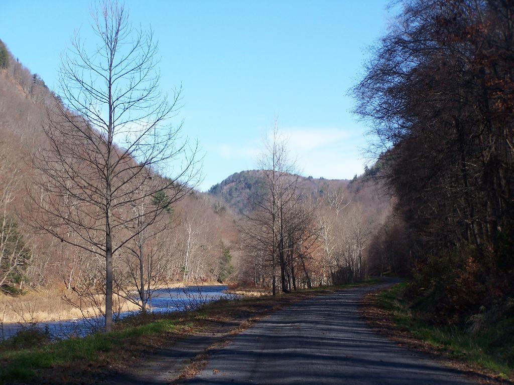
Few examples could be clearer then Indian Lake Road, now closed at the bottom of the hill below Squaw Lake. This road went to Indian Lake prior to 2008, a beautiful wilderness lake that was great for paddling and fishing. It was closed due to Adirondack Park State Land Master Plan Act, and because the DEC wanted to “bank” 2.5 miles of Moose River Plains Road to use for then they acquired the Nature Conservancy parcels to add to the Vanderwhacker Wild Forest.
You can still walk those 2.5 miles. The road is in decent enough shape to allow you to bring a kayak back on wheels. And at least for now, you can still backpack in a campsite along the road. But then it makes Horn Lake and other places even farther back, and makes the back country even farther back. And it begs real questions: why is the government taking our public lands from us?
Tea Party folk are right to question why the government is taking things from us. the public that they should be providing things to and not taking away from us.
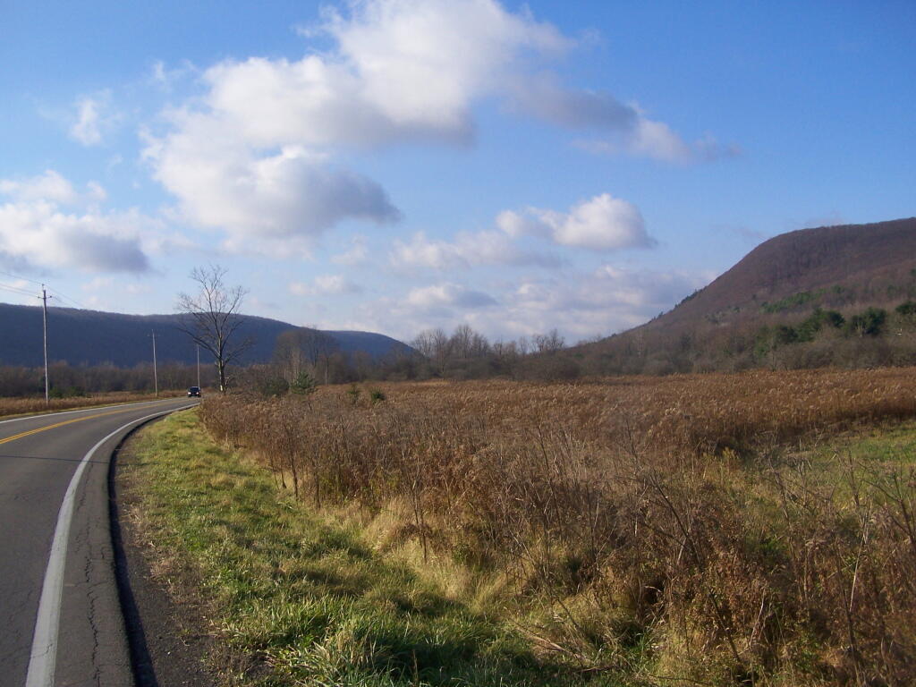
I have been toying around in mind what I want to do in mid-November as I take a week off from work to travel. While there is two big ifs in my mind — the exact amount of time I will have off and the cost of gasoline — the later being a big expensive question, I have already been thinking what I want to do.
Traveling in November can be tricky. You get up before sunrise, or near it. You have to rush around all day, knowing you have to locate a campsite by 3 PM or so, and be well on your way of setting up camp by 4 PM, because it will be dark out at 5 PM, and you will want to have firewood and a fire started by dusk. The long evenings are not much of a problem, as I have lighting powered by the deep cycle battery in my pickup, but still daylight limits day time activities. The potential for snow and hunting season are other constaining factors. Cold can be bad, but at least with my current set up with the truck, having a dead battery is not a real risk.
I have three different trip options in mind:
Tug Hill/Northern Tier/Adirondack Trip
Southern Tier/Western NY/Northern Tier of PA Trip
Wayne National Forest and Monongahela National Forest Trip
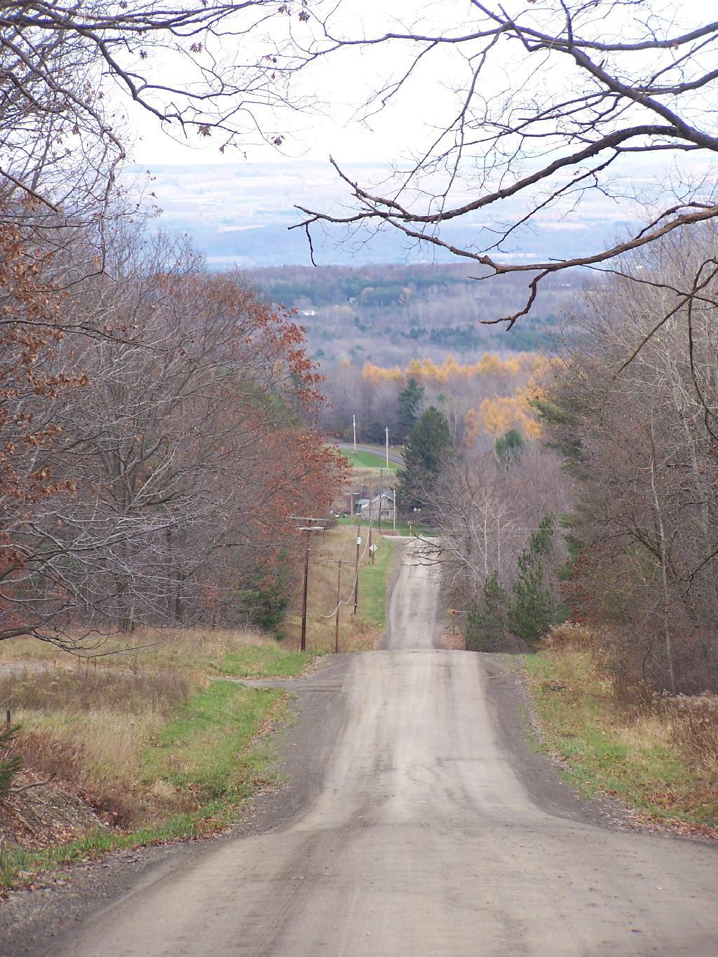
The Tug Hill/Northern Tier/Adirondack Trip would take me up through the Tug Hill checking out Whetstone State Park, maybe Moose Plains or Independence River Wild Forest, Brasher-Bombay State Forest near Massena, and then maybe somewheres around St Regis Canoe-area. Would have to worry more about snow, and it would be big game season, but its the shortest and most economic trip especially if gas prices are high.
The Southern Tier/Western NY/Northern Tier of PA Trip would have me going out US 20, probably camping at Stony Pond Campground, then out to East Otto State Forest or maybe Sugar Hill in between. I would check out Zoar Valley, and then probably drive down to Chautauqua County and ultimately to Allegheny National Forest. Probably stay there a couple of days, then head back east on US 6, through the Endless Mountains, and return through Binghamton. That said, this is somewhat repeative of the mid-summer trip, so I don’t know if I want to do it again.
Then there is the trip I really want to take, which is to Coal Country Ohio and West Virigina, and the Wayne National Forest and Monongahela National Forest. It would be a delightful trip, even if it was kind of a lng trip. But that is dependent on gas prices, and if I can get a week plus off to make it all happen. But I have truck and gear, so it could be really awesome trip if I could make it happen. I want to travel to new frontiers, and I am ready to make that happen.
The Adirondack Park State Land Master Plan provides for “groupings of primitive tent sites”, that could be viewed as a loophole, or at least a solution to the 1/4 mile seperation that is normally required of “primitive tent sites”.
Small groupings of primitive tent sitesdesigned to accommodate a maximum of 20people per grouping under group campingconditions may be provided at carefullyselected locations in wild forest areas, eventhough each individual site may be withinsight or sound and less than approximatelyone-quarter mile from any other site withinsuch grouping, subject to the followingcriteria:
— such groupings will only beestablished or maintained on a site specificbasis in conformity with a duly adopted unitmanagement plan for the wild forest area inquestion;
— such groupings will be widelydispersed (generally a mile apart) andlocated in a manner that will blend with thesurrounding environment and have aminimum impact on the wild forestcharacter and natural resource quality of thearea;
— all new, reconstructed orrelocated tent sites in such groupings will beset back a minimum of 100 feet from themean high water mark of lakes, ponds,rivers and major streams and will be locatedso as to be reasonably screened from thewater body to avoid intruding on the naturalcharacter of the shoreline and the publicenjoyment and use thereof.
In a strict constructionist view of this language, one could claim that this only would apply to campsites specifically allowed to be use by groups of people, as permitted by the DEC. But also could it apply to small “groupings” of campsites along lakes or ponds, that might otherwise not comply with the 1/4 mile of seperation.
Therefore, if you have a grouping of 3-4 “individual” campsites, in a group setting (like on Mountain Pond), you would still have fewer then 20 people camping in a “group camping conditions”. While not an ideal situtation, it does seem to comply with the letter of the Adirondack State Land Master Plan, even if the most radical elements in park might not apprechiate that reading by state land unit management plan authors.
Unlike the language relating to individual primitive tent sites, there is no absolute language that requires a specific seperation, although the preference for these groupings is clearly one mile apart. If you had multiple groupings, out of eyeshot and earshot, let’s say a 1/4 mile apart, would it be consistent with the Adirondack State Land Master Plan?
In addition, the Adirondack Park State Land Master Plan provides that in some language that allows tent sites for reasons of “severe terrian constraints” to violate the 1/4 mile seperation.
1. The structures andimprovements listed below will beconsidered as conforming to wildernessstandards and their maintenance,rehabilitation and construction permitted:
— primitive tent sites below 3,500feet in elevation that are out of sight andsound and generally one-quarter mile fromany other primitive tent site or lean-to:
(i) where physical and biologicalconditions are favorable, individual unitmanagement plans may permit theestablishment, on a site-specific basis, ofprimitive tent sites between 3,500 and 4,000feet in elevation, and,
(ii) where severe terrainconstraints prevent the attainment of theguideline for a separation distance ofgenerally one-quarter mile betweenprimitive tent sites, individual unitmanagement plans may provide, on asite-specific basis, for lesser separationdistances, provided such sites remain out ofsight and sound from each other, beconsistent with the carrying capacity of theaffected area and are generally not less than500 feet from any other primitive tent site;
Many of the campsites that currently violate the 1/4 mile seperation along roads, could be consistent with the Adirondack State Land Master Plan, if this reading of the language of APSLMP was adopted. It might rankle some of the more extreme elements in the park, but it seems consistent both with pratice and the letter of the law.
The endless summer has shown it must come to an end. I woke up the other day at Moose Plains, and the temperature was only 46 degrees out. It was a chilly morning out, but only a symbol of what is to come as we fade into winter. Daylight is rapidly dropping every day.
Probably it would not be as big of deal for me, if I didn’t have to work so much during the fall. But I expect this fall to be a very busy season, where I won’t get to spend much time in the wilderness, camping, hiking, and spending time outdoors until mid-November. You know, I got to work and make money for the toys. And by mid-November, the winter will be well among us.
There is nothing to stop to winter from returning. And as soon as winter comes, winter will be on its way out, as we move back towards April and ultimately mid-May when things finally green up and the endless days of summer return once again. It’s the cycle of life.