Search Results for: map canada lake

Delightful Fall Hikes

Pillsbury Mountain (Central Adirondacks).

Located in the Jessup River Wild Forest, North of Spectulator, offers great views of West Canada Wilderness, Cedar River Flow, Moose River Plains, Spectulator Tree Farm, Siamese Pond Wilderness. Should be close to peak foliage now. Consider camping at the roadside/tent campsites along Mason Lake to the North on Jessup River Road / NY 30. Take NY 30 to Jessup River Road to Military Road to Parking Area to get there. You may want to park at the start of Military Road if you have a low-clearance vehicle.

Snowy Mountain

Click on map to download and print.

 Hogsback State Forest

Hadley Mountain (Southern Adirondacks).

Located near Stony Creek, NY, it offers some great views of the Wilcox Lake Wild Forest and the Great Scanadaga Lake. I’ve never been there in the fall, but I suspect it offers many great views this time of year, with peak foliage being not far away.

Looking North

Click on map to download and print.

Gully

Buck Mountain (West Shore Lake George, Adirondacks)

This is one of my most recent hikes, but definately offers really good views of Lake George and elsewheres, especially now that the fall colors are starting to set on in. One of the more difficult hikes on the list, it’s not really that difficult, but if you go from Pilot Knob, expect a 3.1 mile hike, and gaining around 2,100 feet in elevation. Regardless, a very nice hike.

2022 NY Congress Results Map

Click on map to download and print.

Route 9 & 20 in Rensselaer

Kaaterskill Clove (Haines Falls, Catskills).

Located near the North South Lake Campground, offers great views of the Clove, Hunter Mountain, Palenville, Hudson River, and farms and other lands near Catskill. Park on Scutt Road for free, which is last right before campground. Take Escarpment Trail all the way around to the Catskill Mountain House Ruins, then walk past North-South Lake.

* Area may be temporarily be closed due to Irene.

Inspiration Point

Click on map to download and print.

 Ferns Covered Woods

Giant Ledge (High Peaks, Catskills).

Located on the ledge between Slide Mountain and Panther Mountain, a relatively easy hike, with a relatively brief but not scary scramble onto the ledge that runs for 3/4 mile. Colorful views of vast Woodland Valley with Mount Tremper and other mountains in the distance, along with good views of Slide Mountain, Cornell Mountain, and other hike peaks.

* Slide Mountain Road was severely damaged by Irene. Area may be temporarily be closed due to Irene.

Untitled

Click on map to download and print.

When Thanksgiving Falls, 2000 to 2099

Camping on Hope Falls and Pumpkin Hollow Roads

There are several campsites a on side roads, little ways off of NY 30, as you head North from Northville towards Wells NY. These campsites are nice if you starting off into the Adirondacks, and are looking for a convenient place to camp for the night, and want campsites quieter then those on NY 8 / East Sacanadaga River.

These sites are all designated with official “Camp Here” discs.

Road Number of Sites
Hope Falls Road 3 Vehicle
3 Tent Sites
Pumpkin Hollow Road 2 Vehicle (Between Willis Lake and Inholding)
1 Vehicle (Beyond Inholding)

Hope Falls Road.

From Northville on Hope Falls Road, you drive north and north. The paved road goes on for several miles, until you finally reach the “Seasonal Use Only” sign, and hte pavement ends it becomes a one lane road.

 Hammond Pond Wild Forest - Green Hill Parcel

Click the map above to print it.

None of these campsites are particularly fancy, although there is a single outhouse for the first grouping of campsites on the southern port of the road.

Gulls on the breakwater

All of the campsites run along Stoney Creek …

Stoney Creek

Pumpkin Hollow.

The campsites are a ways back on Pumpkin Hollow Road, a dirt road, beyond Willis Lake and the camps along it. Pumpkin hollow is a short ways south of the Sacanadaga River DEC Campground, it starts out as a paved road by a white house, then eventually a mile or two back becomes unpaved and one lane.

Blue skies

You can print the above map by clicking on it and printing it.

Willis Lake

Here’s sample designated campsite on Pumpkin Hollow Road.

Designated Campsite

And Pumpkin Hollow Road…

Pumpkin Hollow Road

Past and Present Management Of Moose River Plains

Today’s fodder was is an excerpt from “Moose River Plains Wild Forest Revised Draft Unit Management Plan/Draft Generic Environmental Impact Statement ‐ July 2010”, Appendix III, a NYS Department of Conservation Document that is in the public domain. As the DEC will probably eventually remove this from the internet, and because it is only in PDF I have decided to share it in the entirity in this blog post.

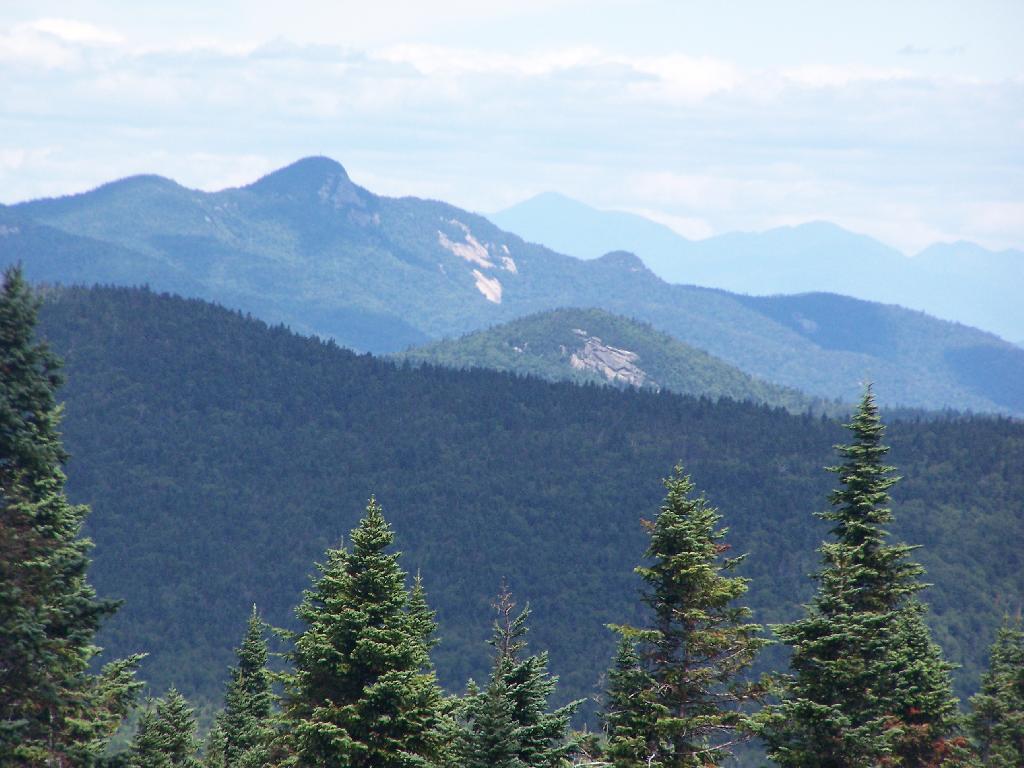
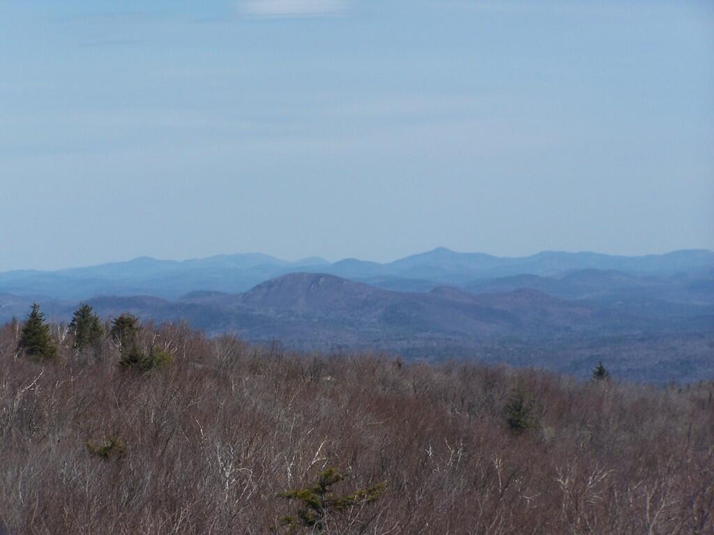
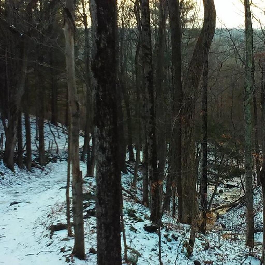
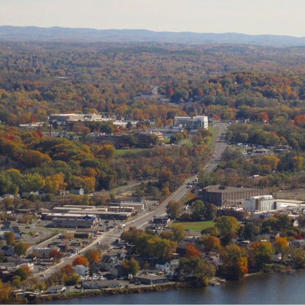
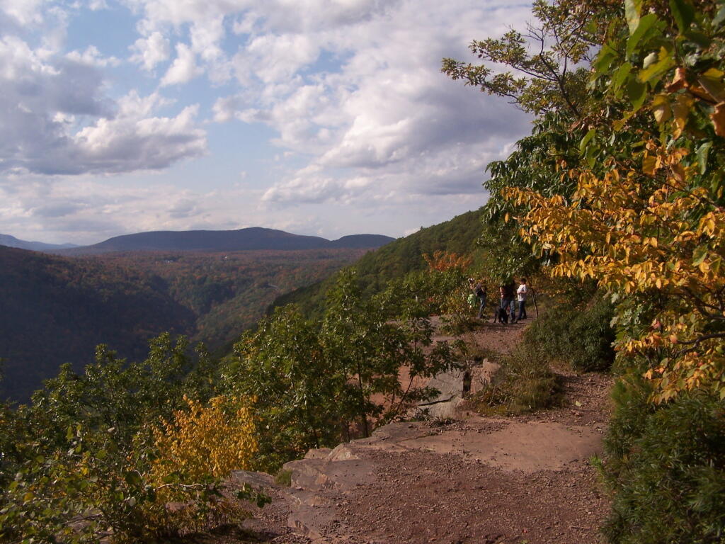
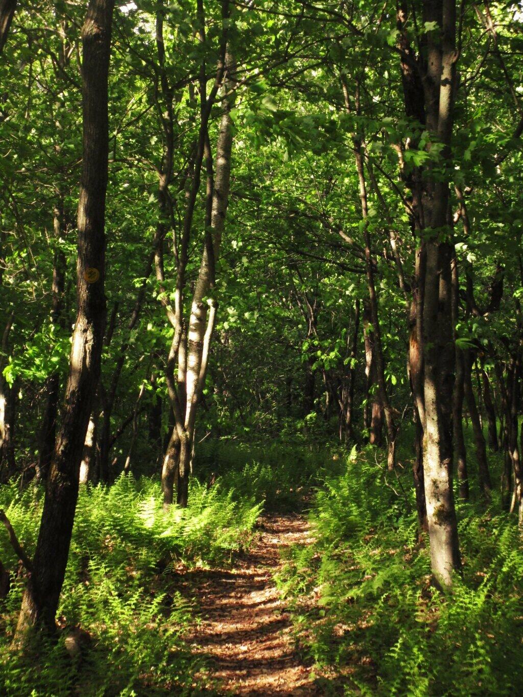
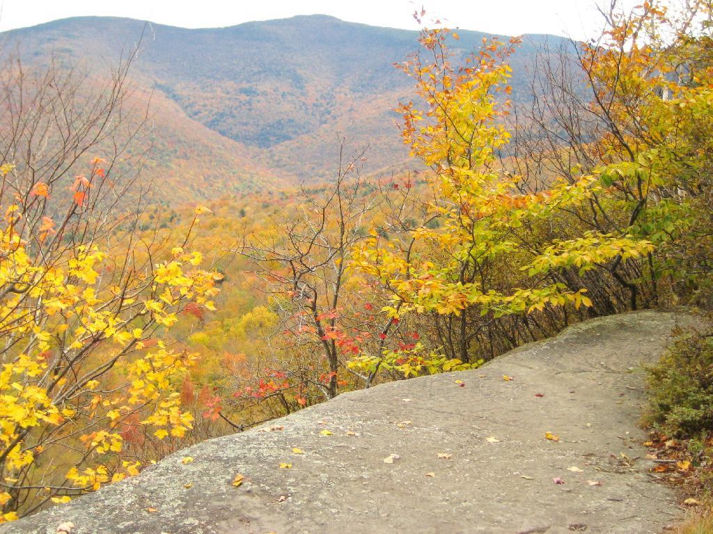
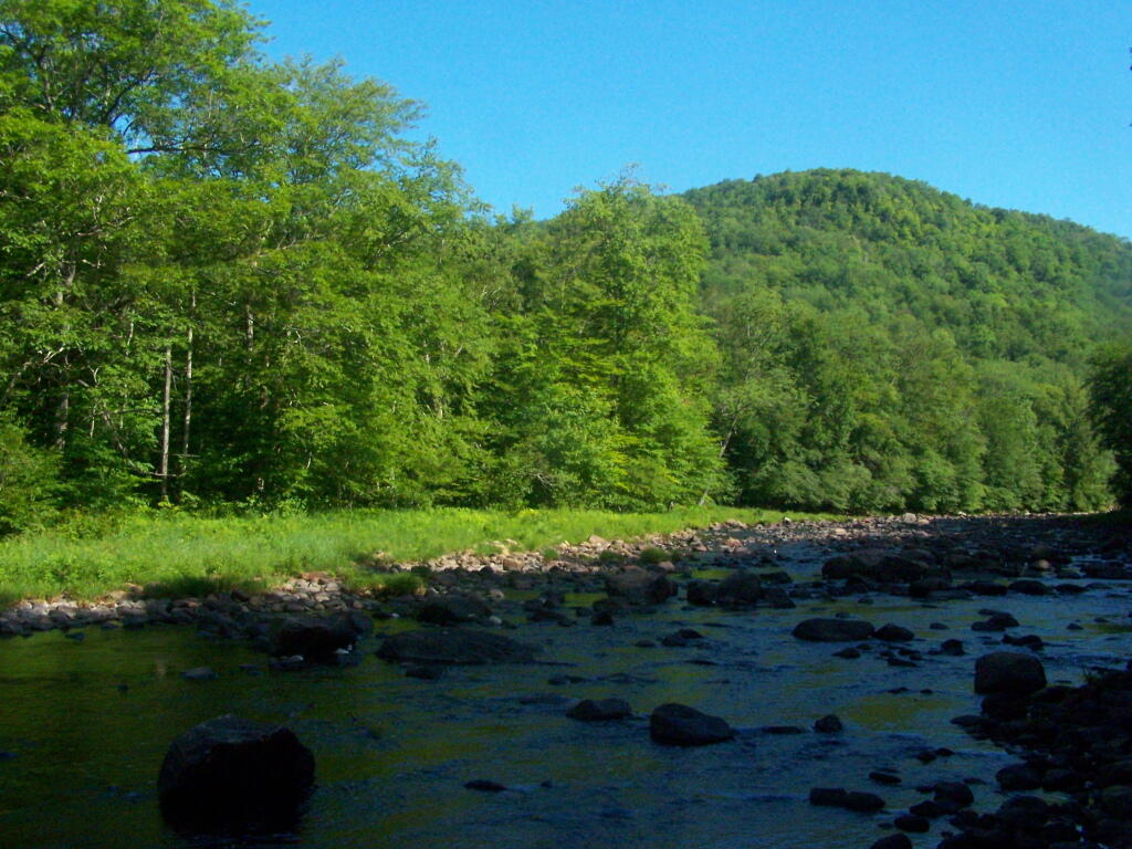
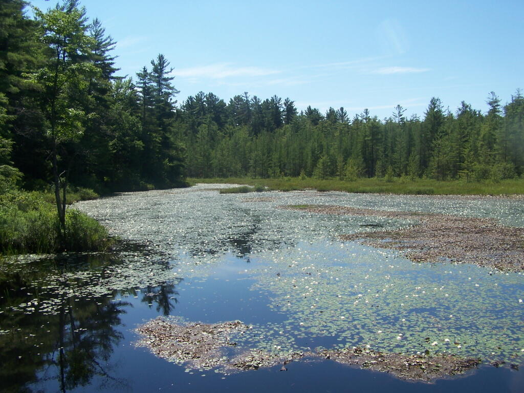
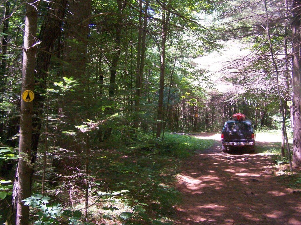
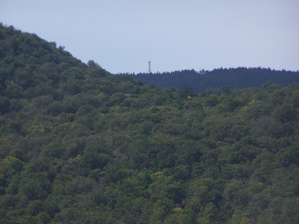
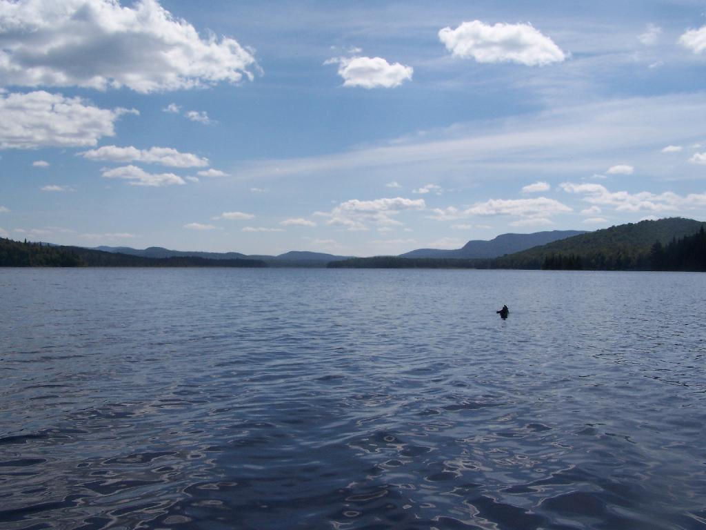
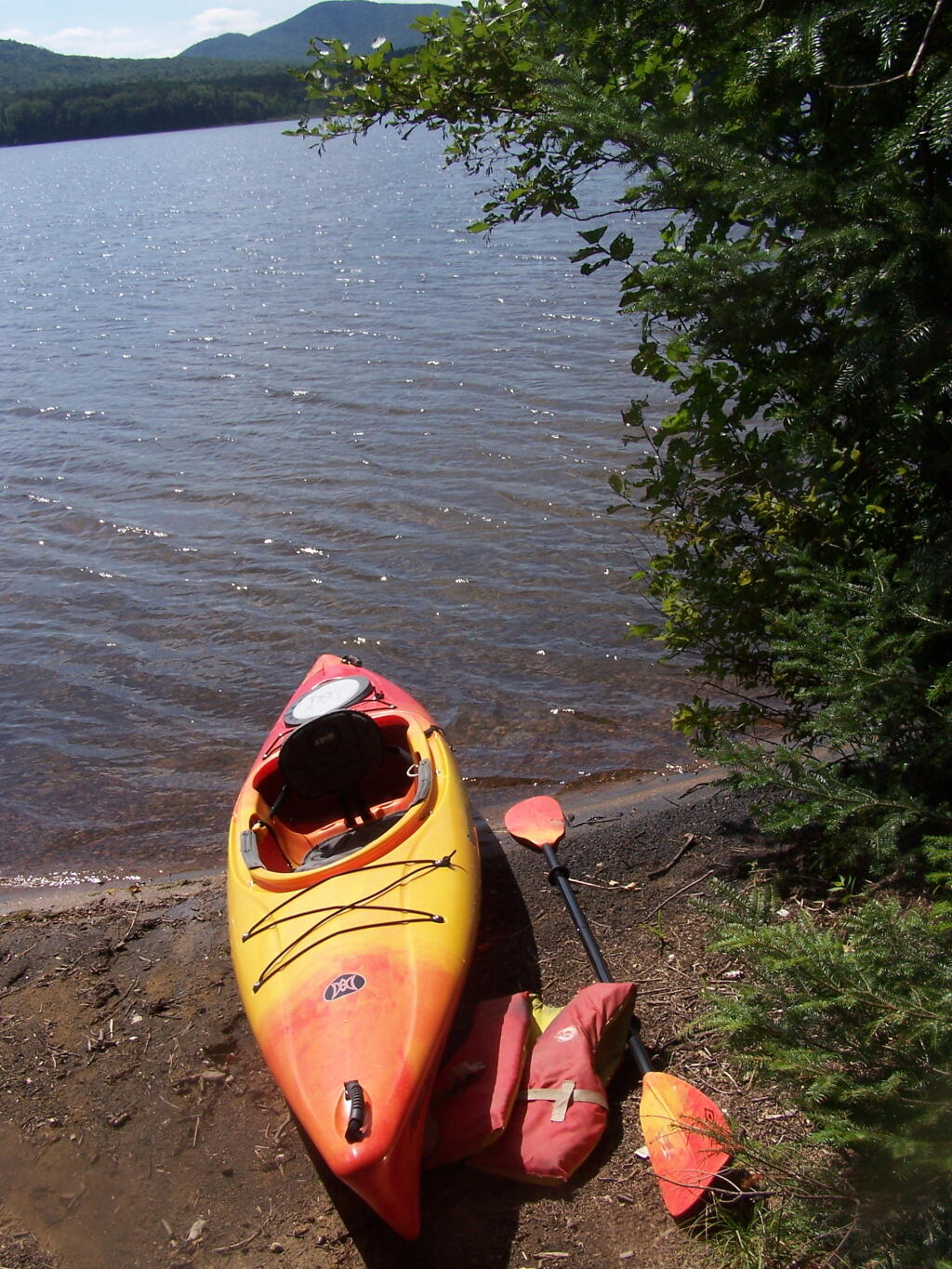
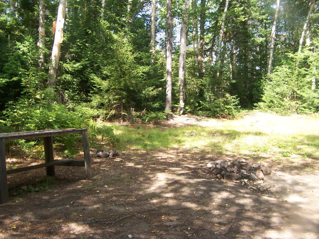
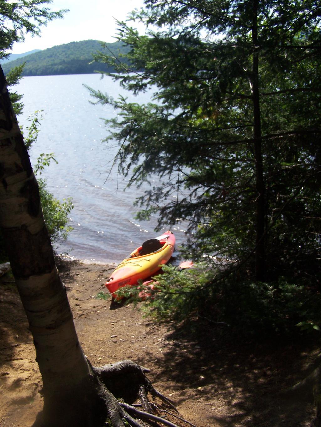
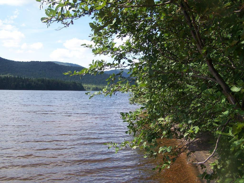
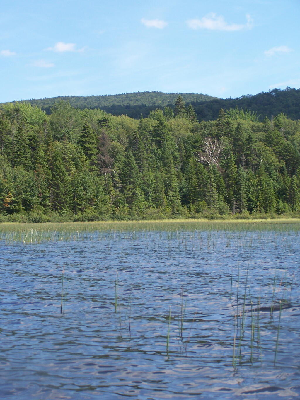
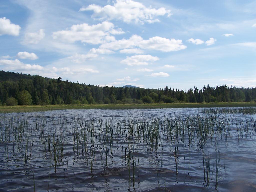
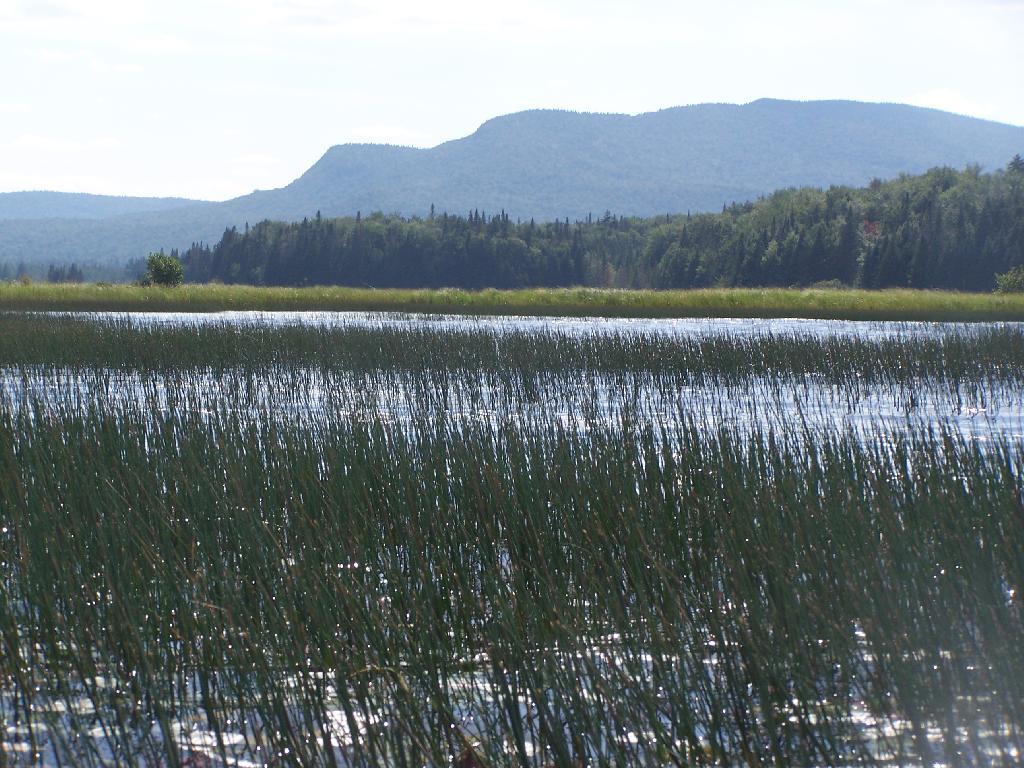
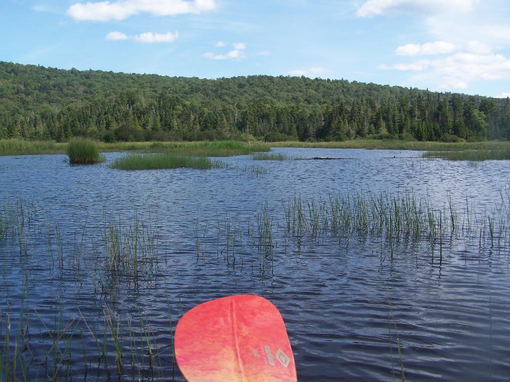
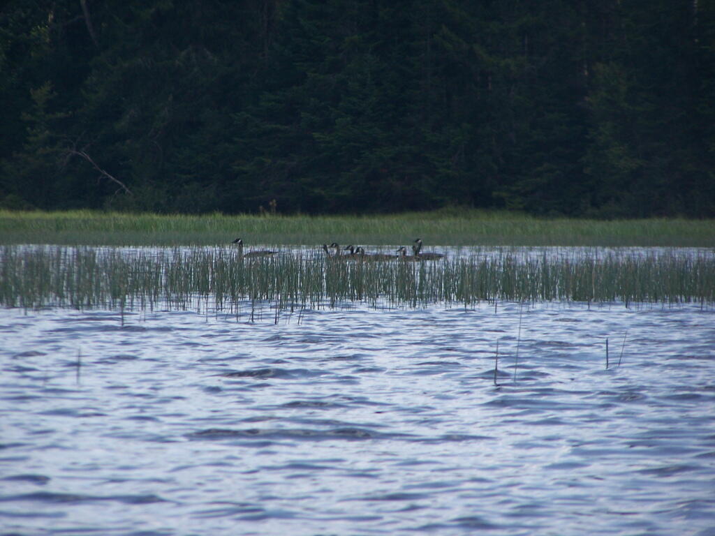
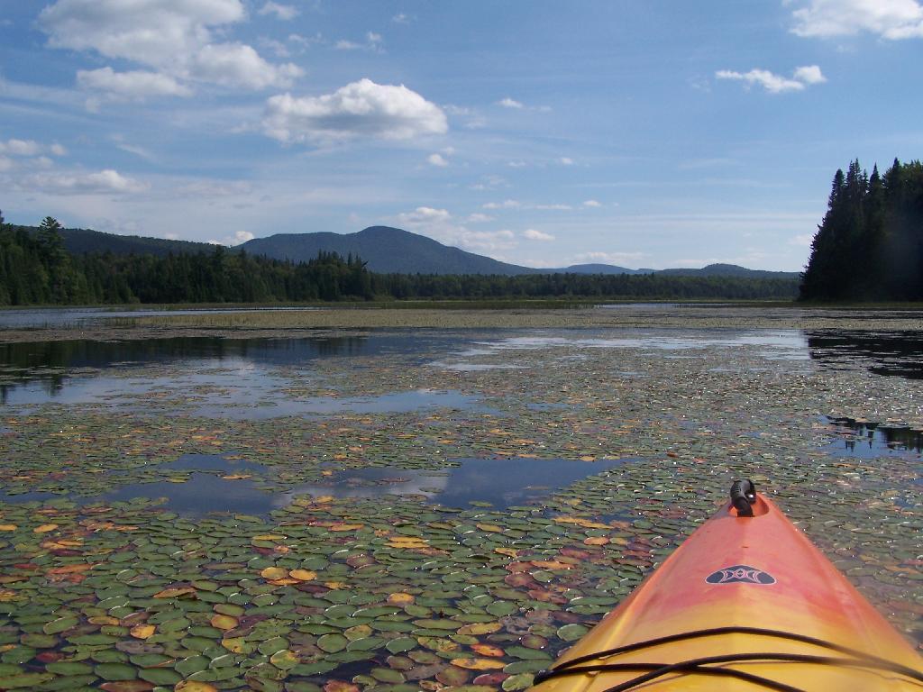
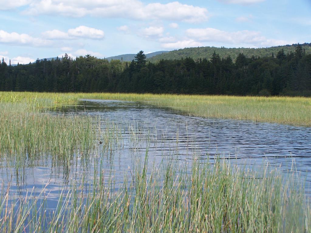
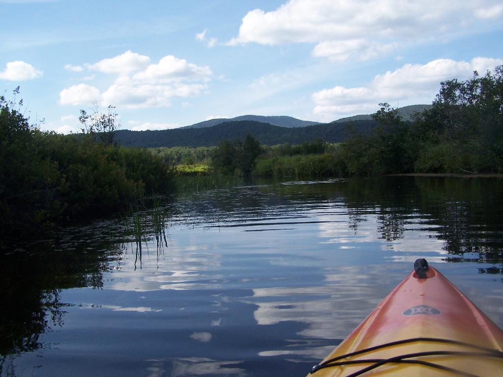
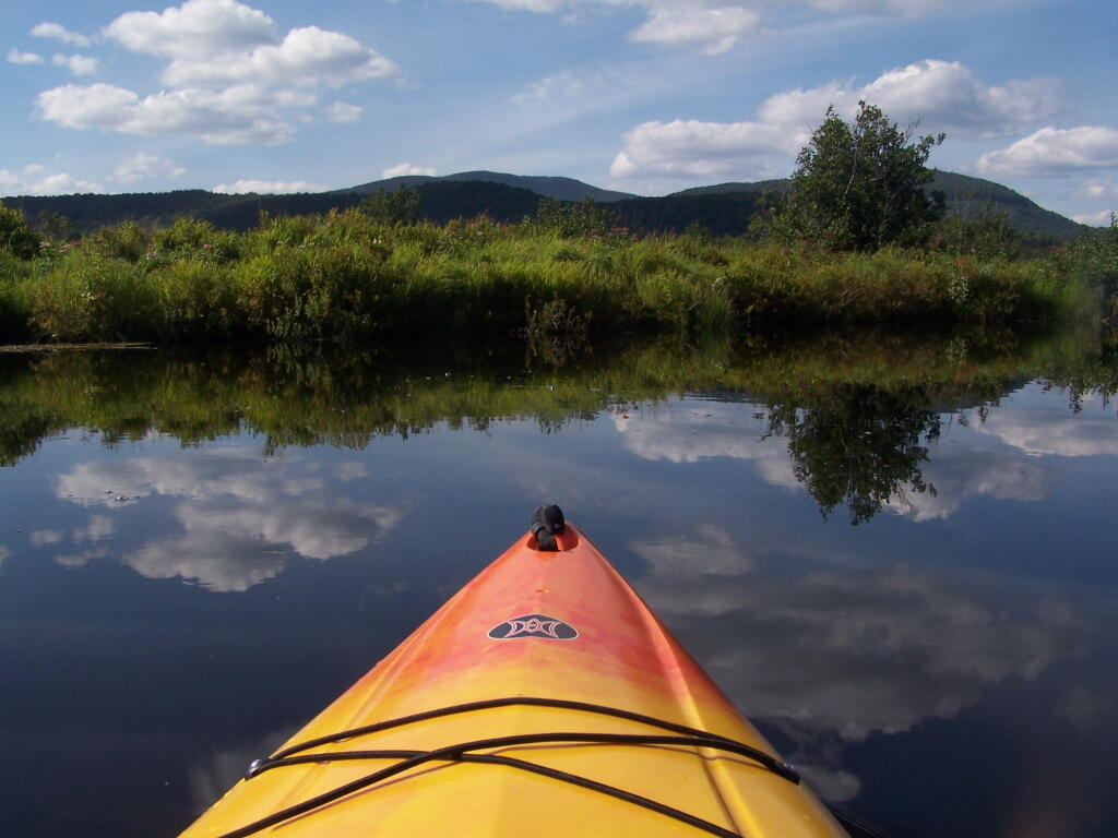
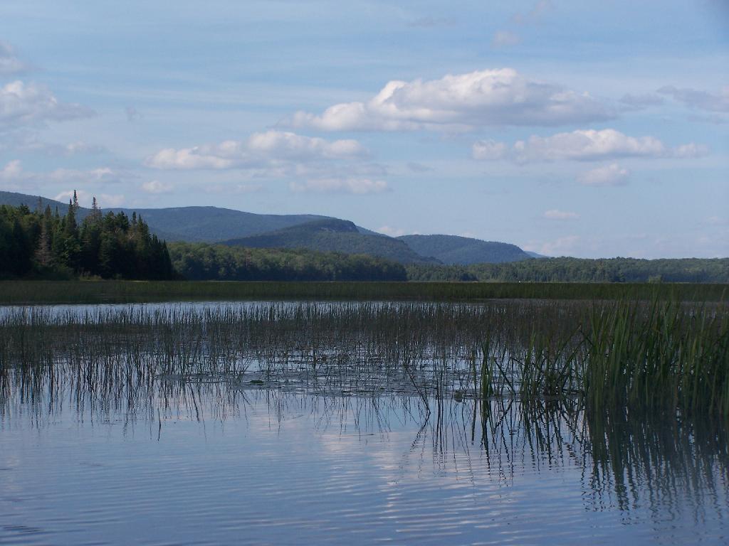
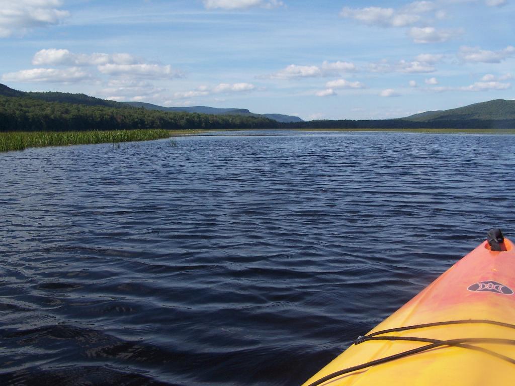
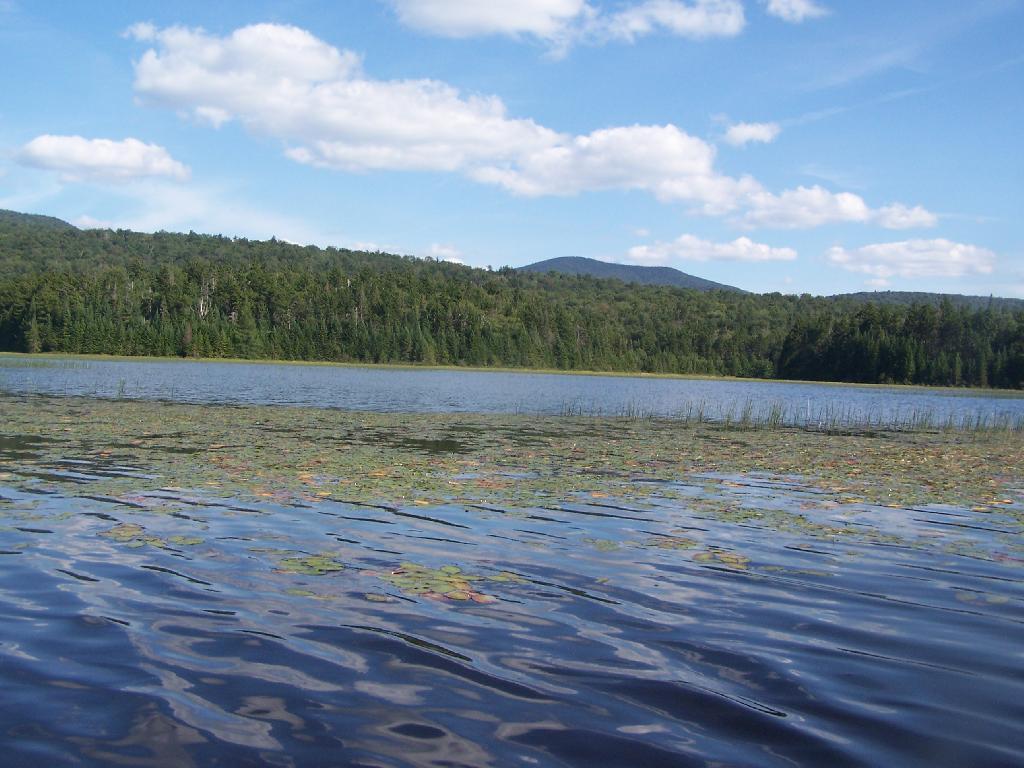
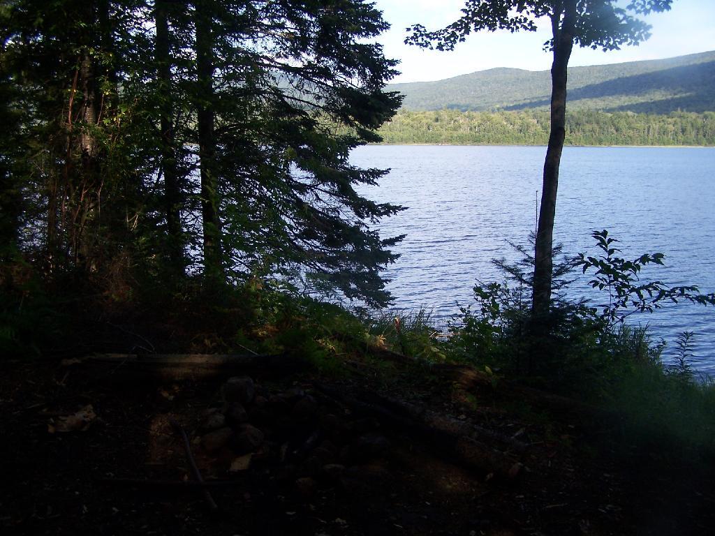
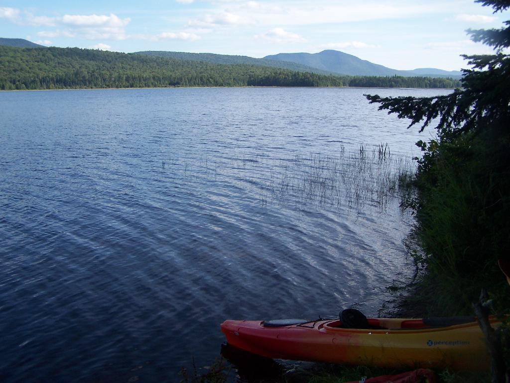
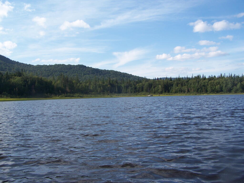
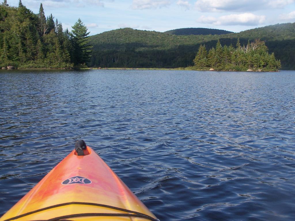
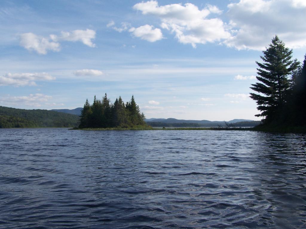
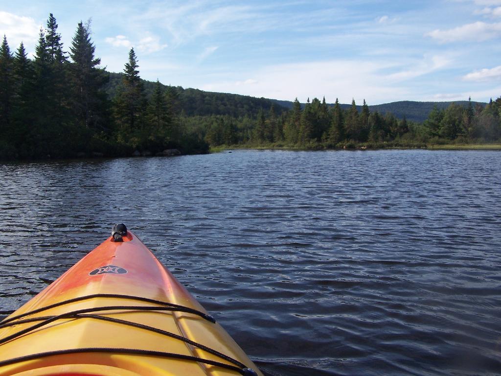
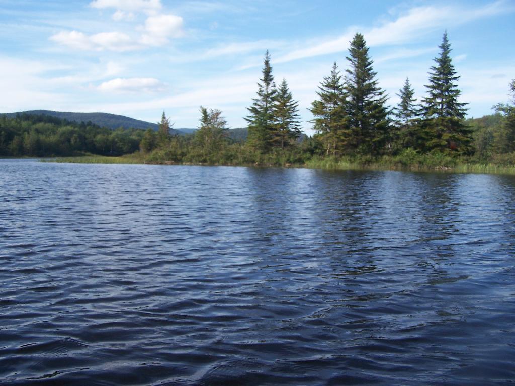
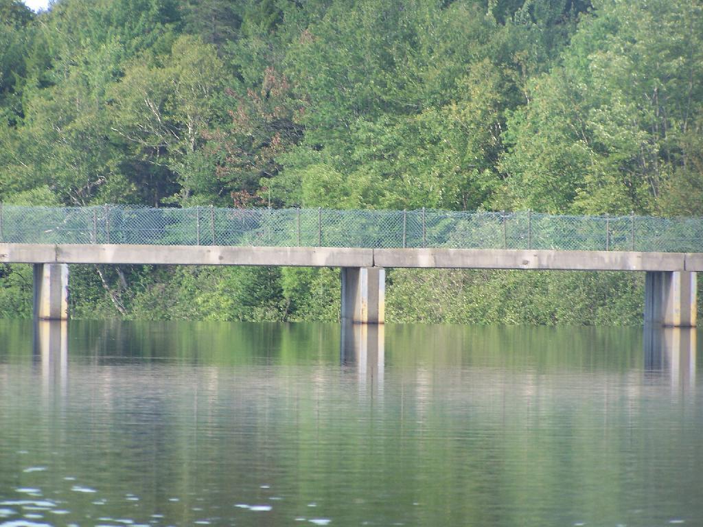
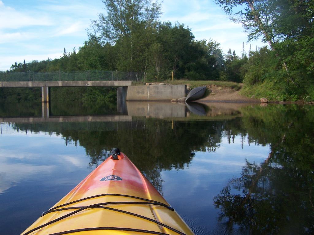
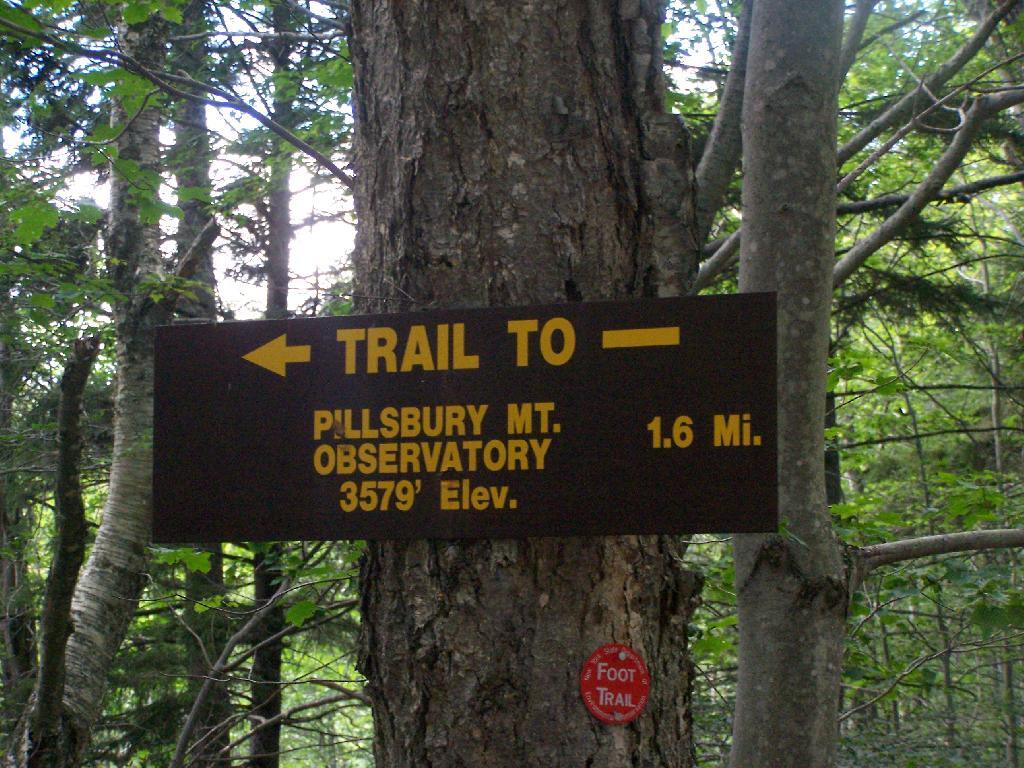
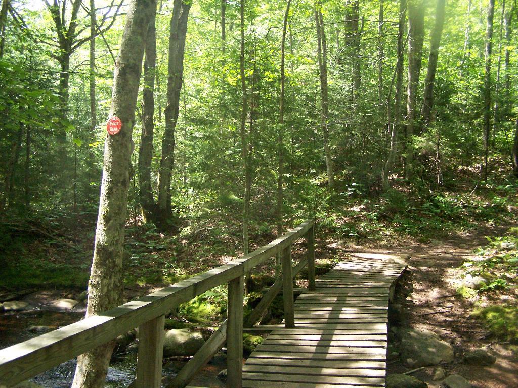
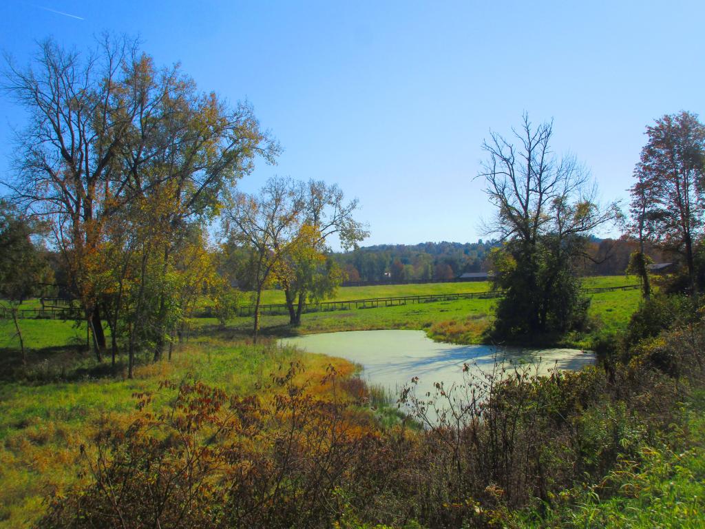
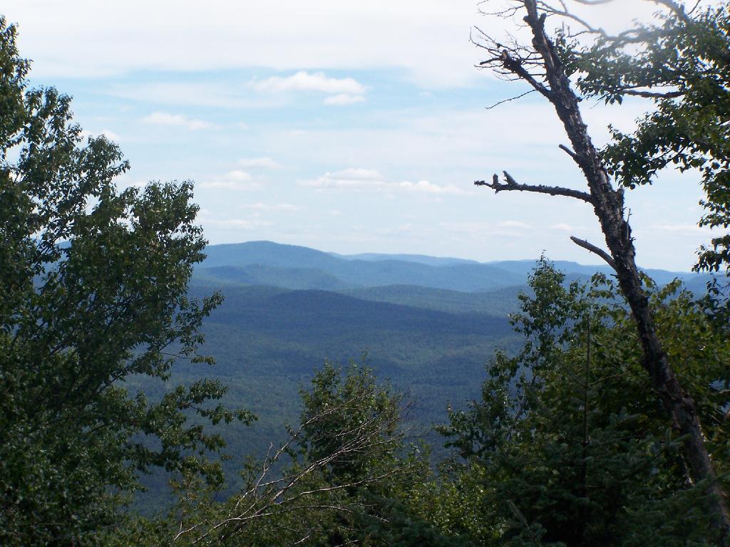
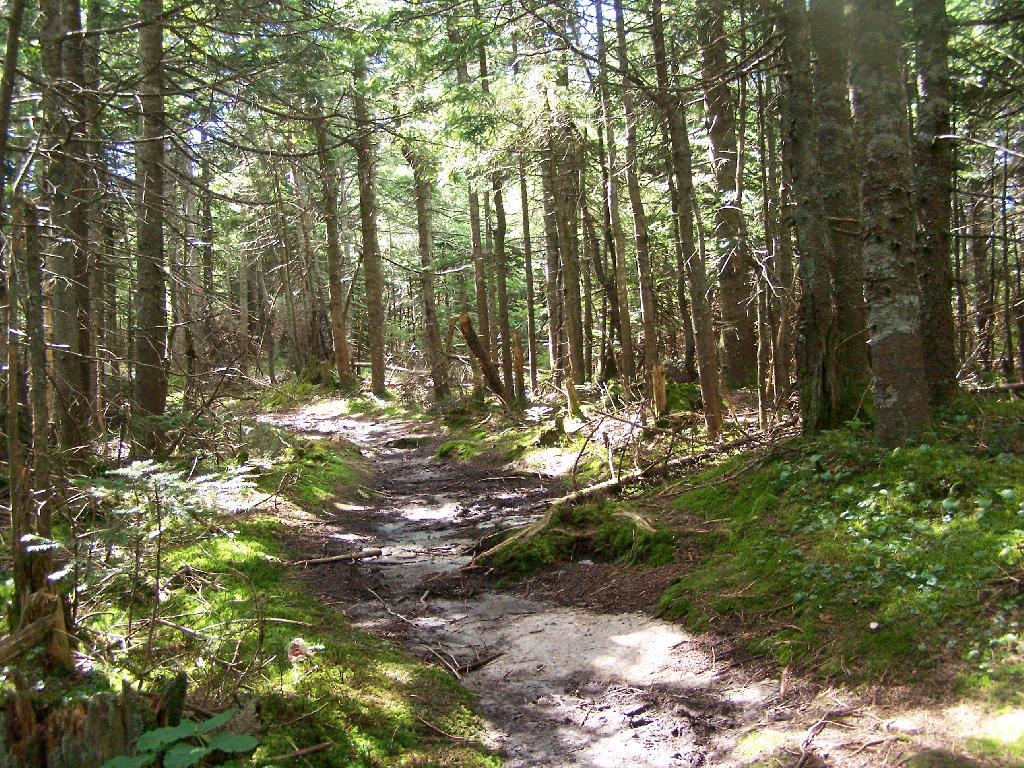
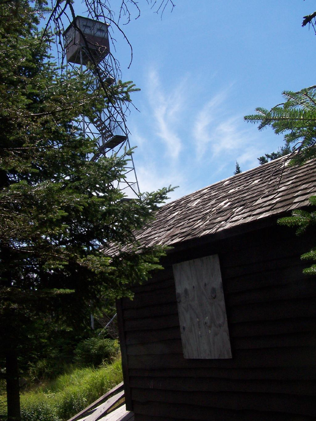
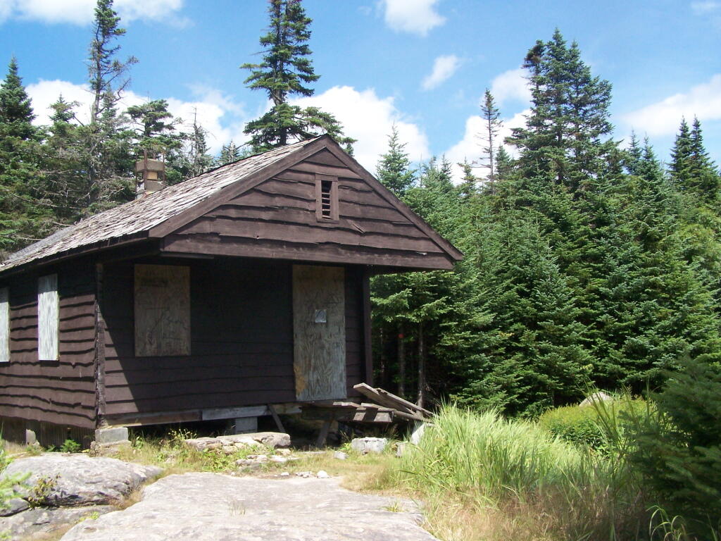
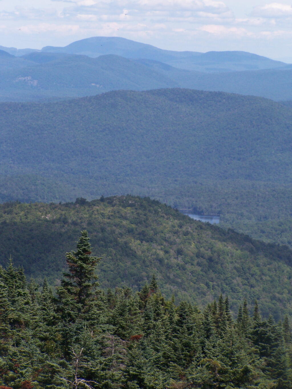
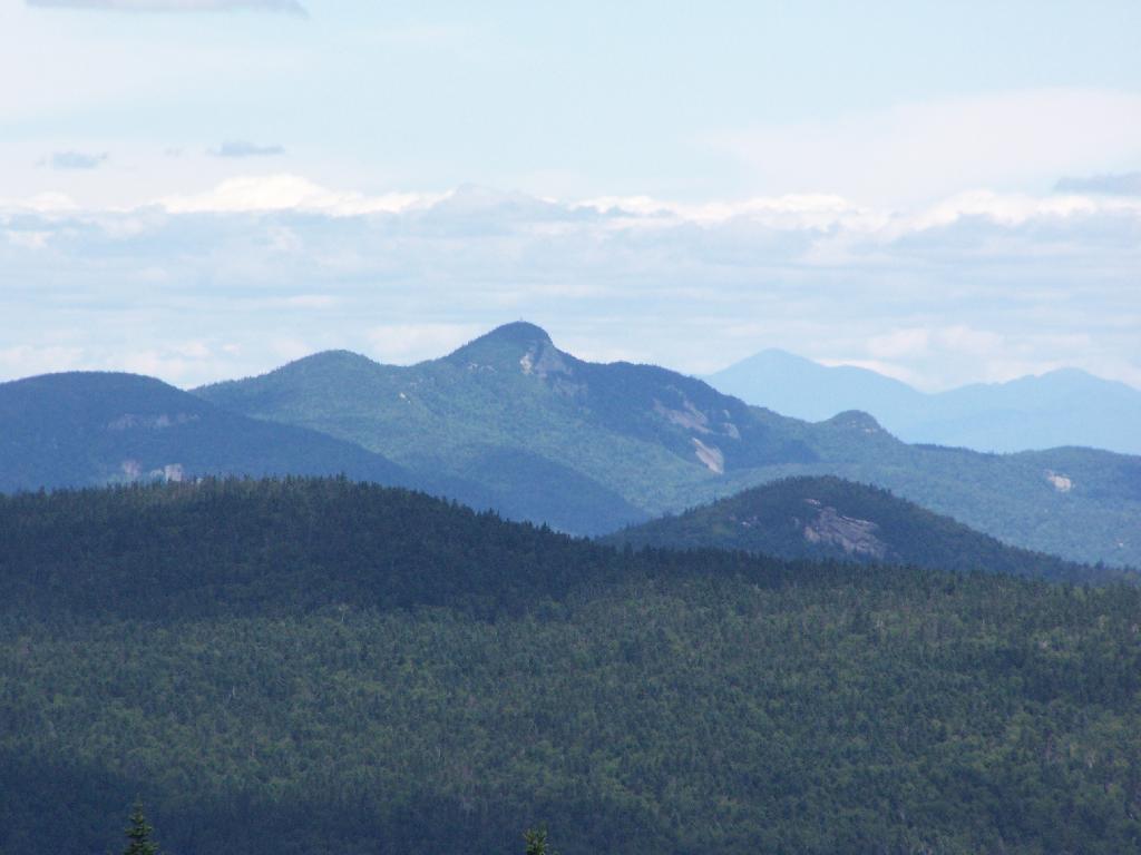
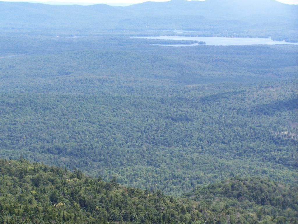
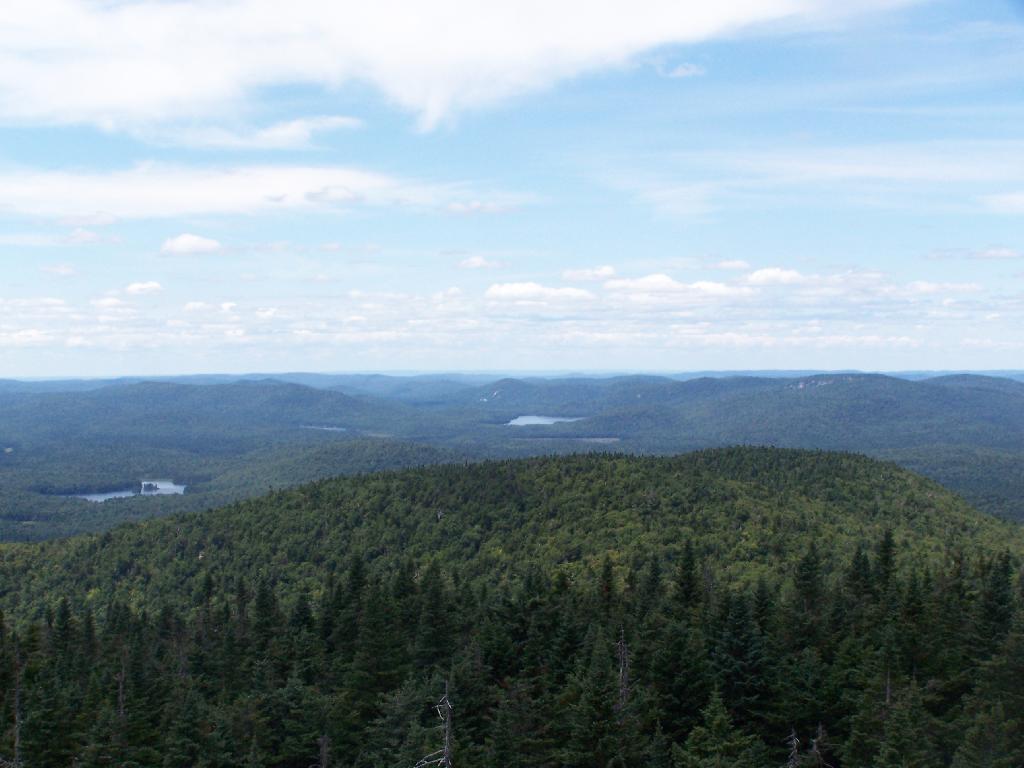
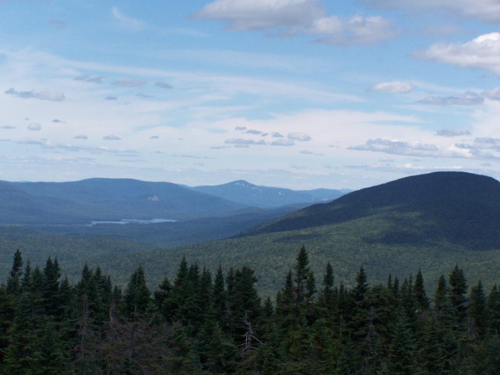
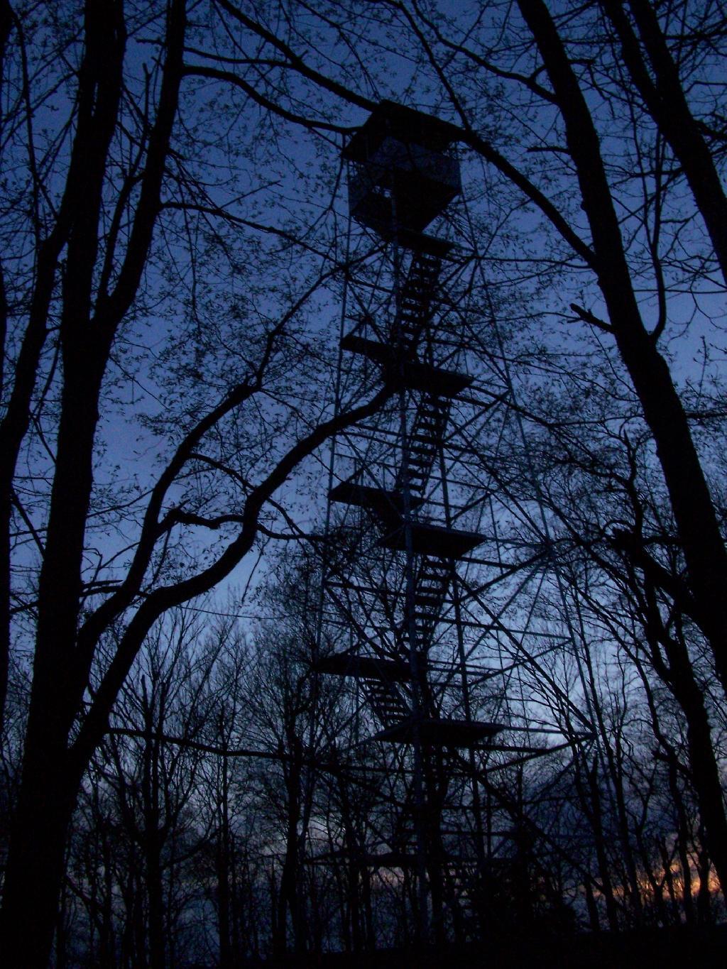
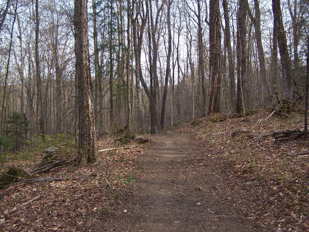
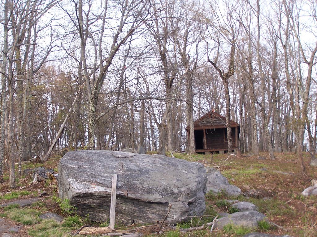
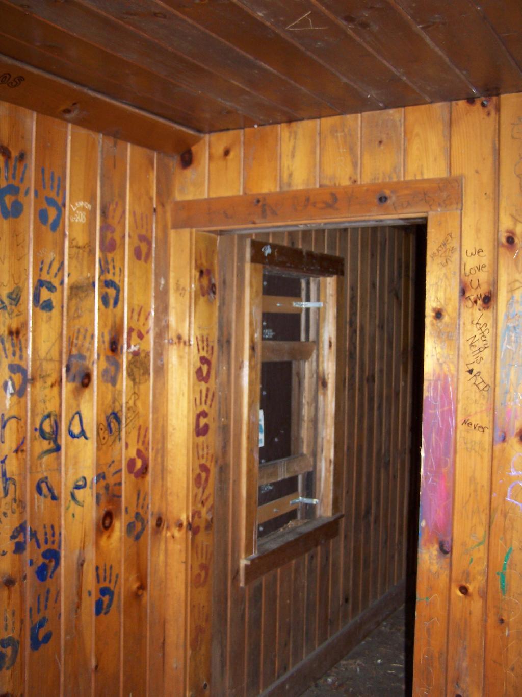
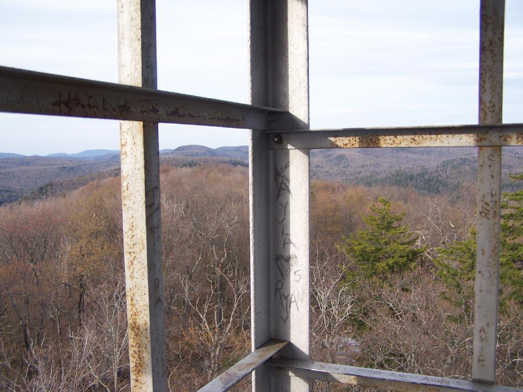
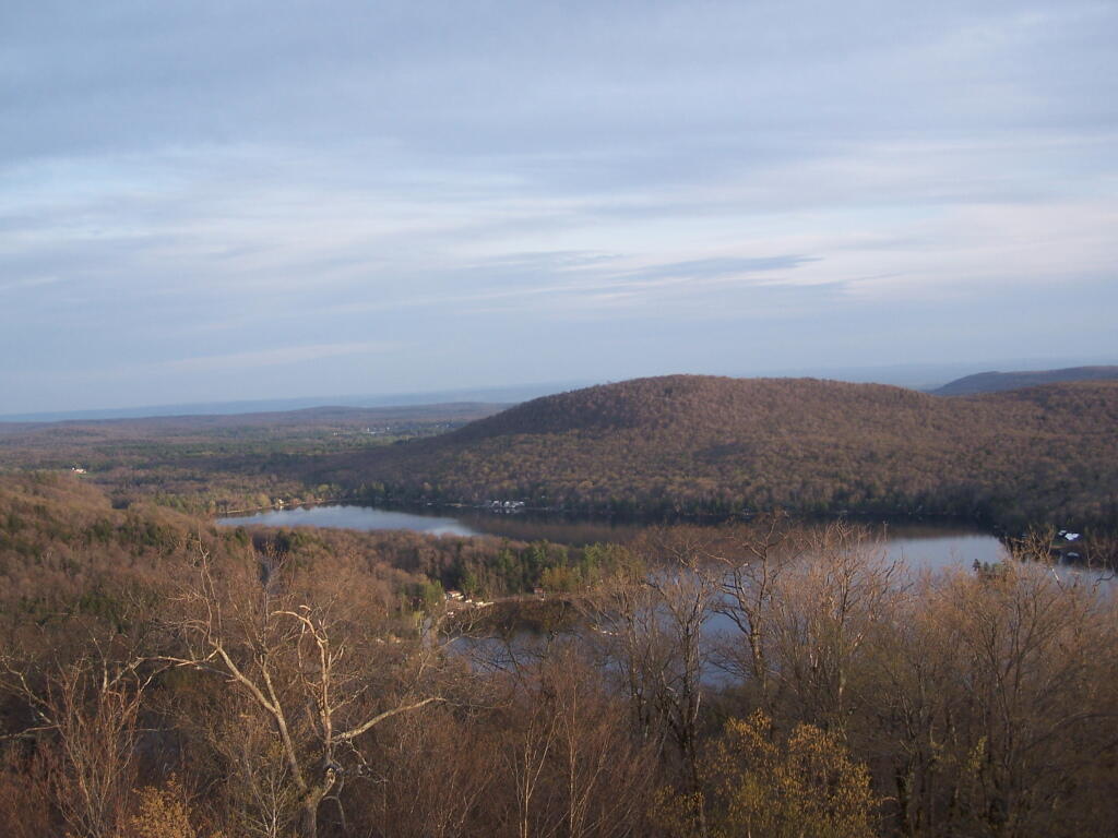
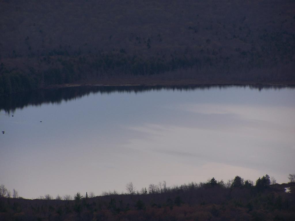
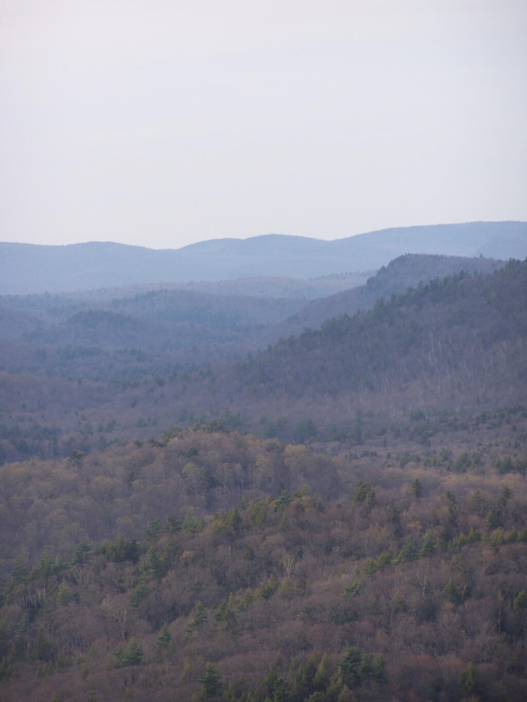
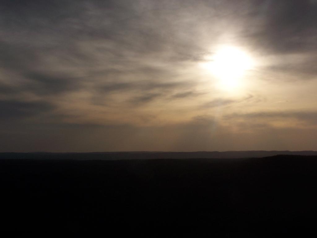
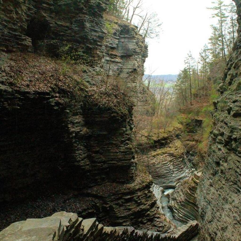
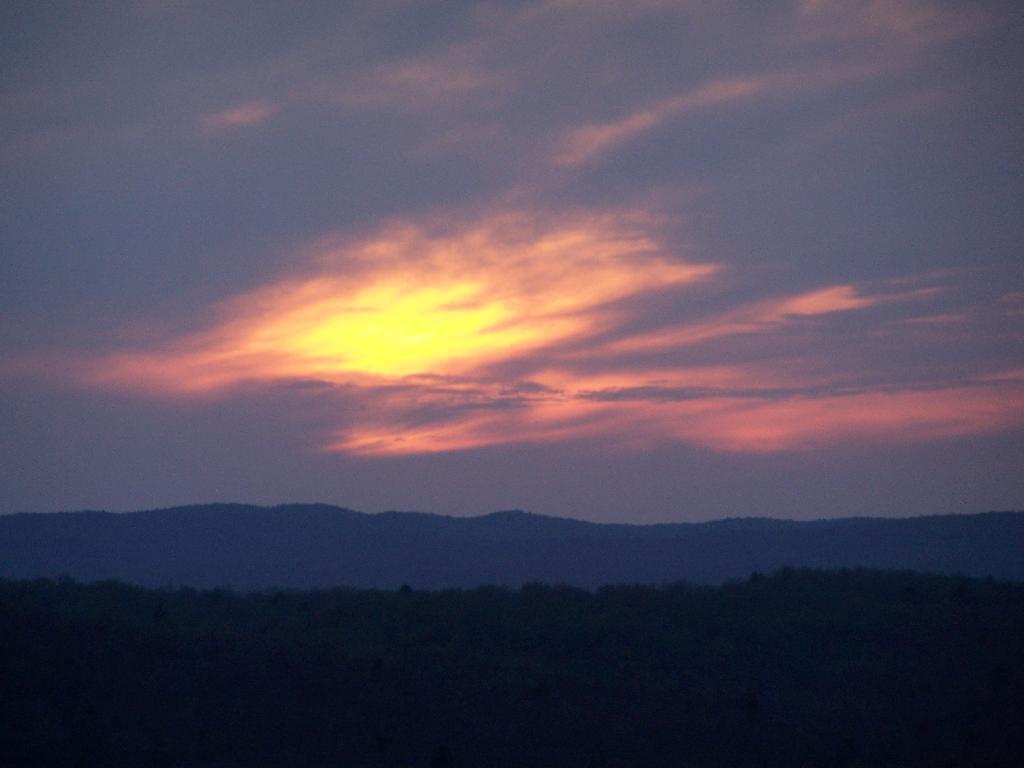
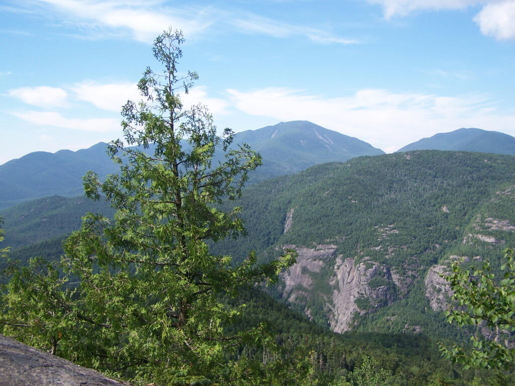
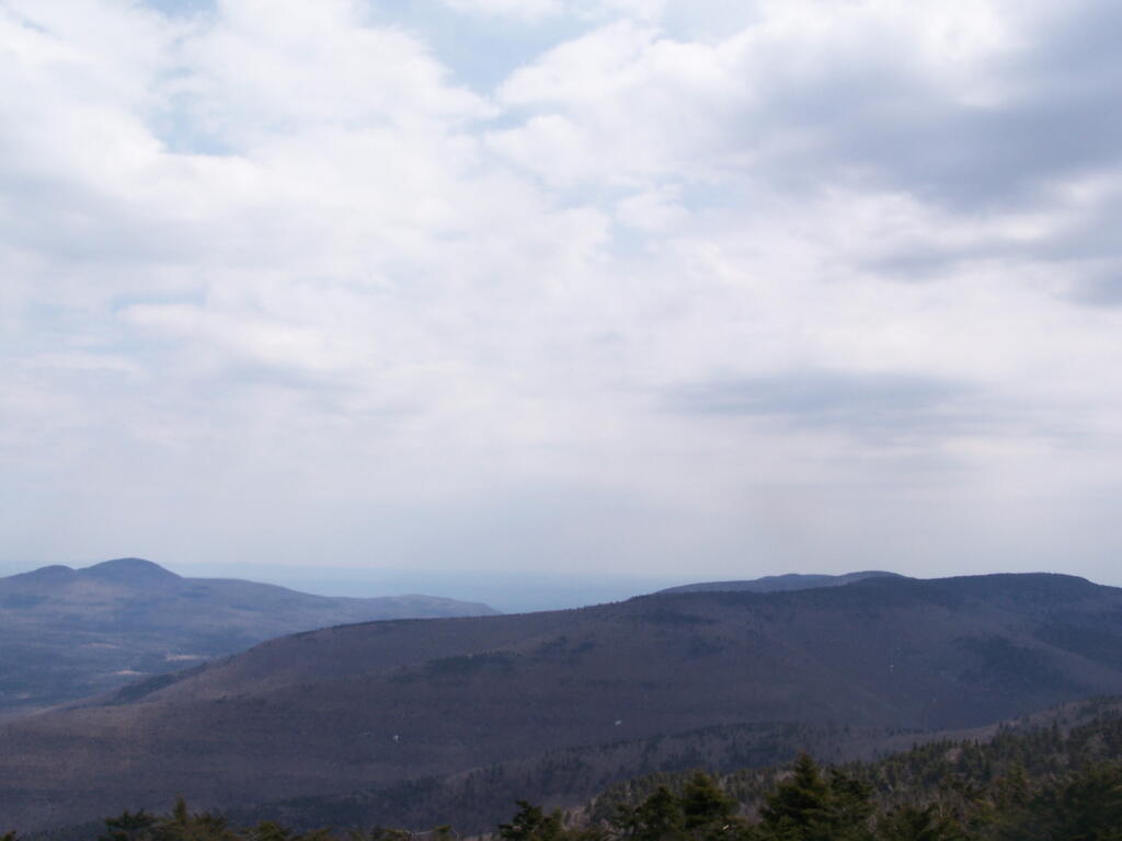
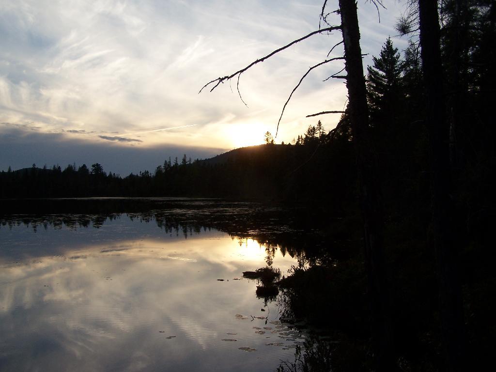
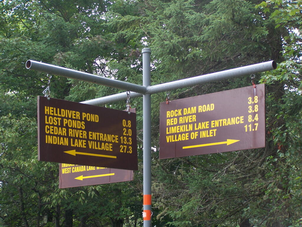
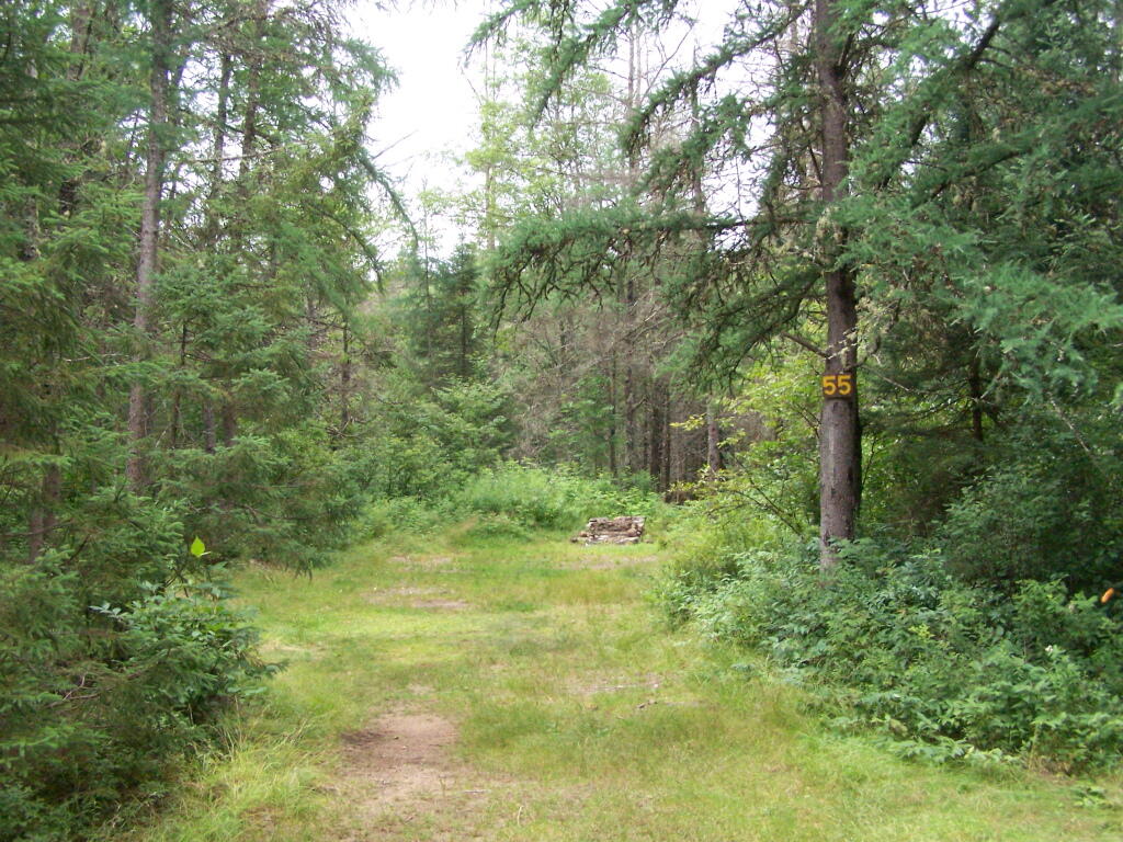
I have added some pictures I’ve taken over the years at Moose River Plains. I hope you find this interesting and helpful. – Andy

Past and Present Management Of Moose River Plains.
As Written By NYSDEC, Revised Draft Unit Management Plan

The State acquired an original tract of 9,000 acres in the heart of what is now the MRPWF before 1900. In 1948 the Conservation Department issued a permit allowing Gould Paper Company to use an existing wagon road known as the Kenwell Road to haul timber across State lands and to maintain a gate at the end of the road near Limekiln Lake to prevent public access. The Department acquired 15,710 acres surrounding Limekiln Lake from Gould in 1960, then another Gould parcel encompassing Lost Ponds and containing approximately 1,803 acres in 1962. An individual owner sold the State a parcel of 356 acres including Beaver Lake in 1963. The majority of what is now the MRPWF and the northern part of the West Canada Lake Wilderness was added to the Forest Preserve in 1963 when Gould Paper Company sold the State a tract of 50,970 acres stretching from Horn Lake on the west to Manbury Mountain on the east. Major subsequent additions included 602 acres surrounding Wakely Dam and the north end of Cedar River Flow from Finch, Pruyn and Company in 1964 and two large parcels acquired from International Paper Company: the 1,120‐acre Cellar Mountain parcel in 1986 and a tract of 9,925 acres south of Wakely Mountain in 1988. The larger parcel was acquired subject to a 1987 easement conveyed by IP to Hamilton County for the maintenance of the four miles of Cedar River Road which crossed the parcel. Appendix 25 contains an acquisition map.

A small parcel was acquired in 1981 along Route 28. This acquisition included access to the shore of Fourth Lake. However, there is no potential to develop any water access at this location. Appendix 15 contains a deed and sketch map for this parcel.

Moose River Plains Overview

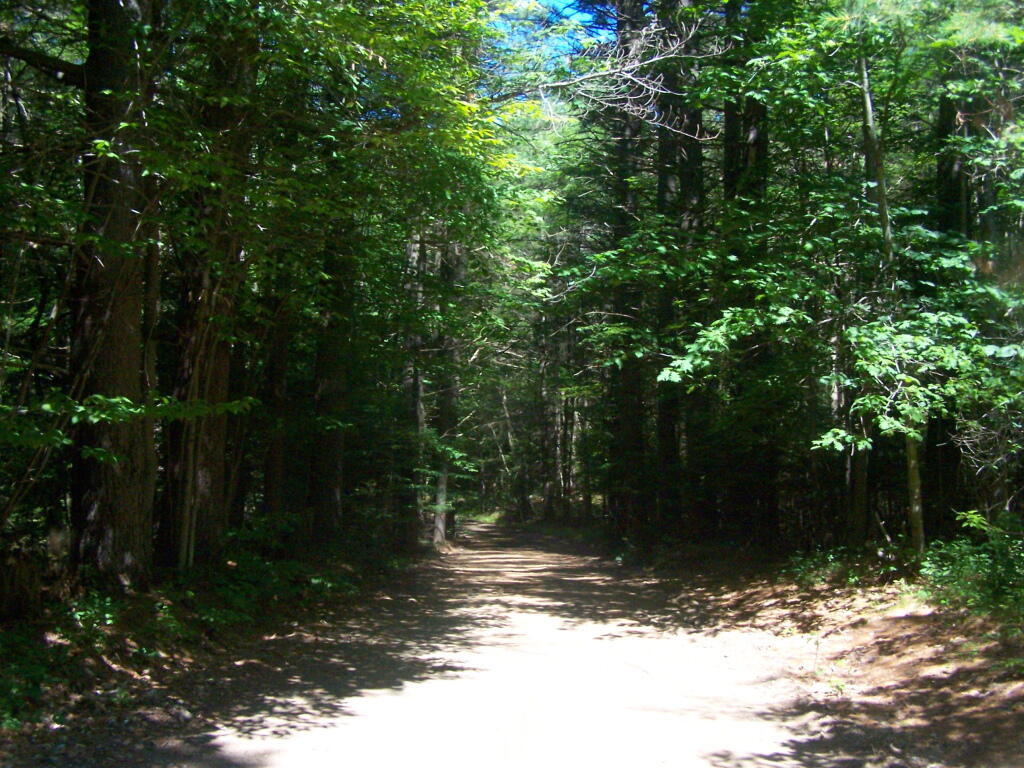
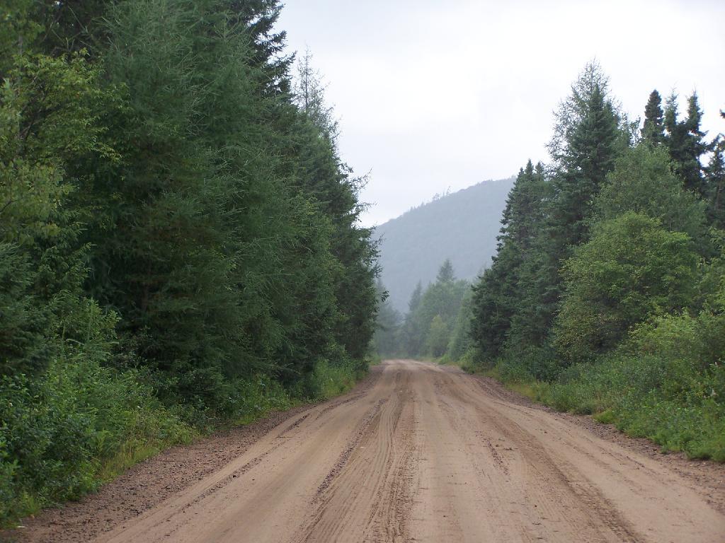
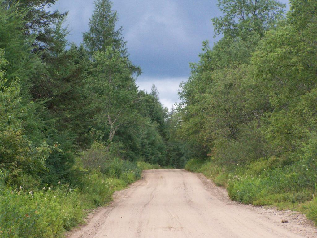
After this major acquisition, the Department took an active approach to the management of the area then referred to as the Moose River Recreation Area, a name which reflected the intent behind the purchase. From the beginning, the Department pursued the development of an extensive road system to provide public access to the remote interior for hunting, trapping, fishing and camping. An early Department report indicated that there were about 178 miles of primary gravel roads and an equal extent of secondary and winter roads throughout the former Gould lands. However none of the roads was suitable for public motor vehicle use without significant improvement. Minutes to a meeting of Department staff on December 9, 1963 included an estimated cost of $25,000 for the annual maintenance of 50 miles of roads and bridges. Starting in 1964, Division of Fish and Wildlife staff used heavy equipment to improve roads initially identified for public use. When the area first was opened to the public on October 23, 1964, the road connecting the Limekiln and Cedar River entrances had just been cleared by bulldozer, but remained difficult to traverse. In addition to the LLCR Road, the Rock Dam Road, Otter Brook Road and Sly Pond Loop were open to public use by permit for a total of about 30 miles. Fifty‐six parking areas were established along the road system. At the entrance gates, cars were assigned parking areas and travel was allowed only to and from those areas. The public were four‐wheel drive vehicles or tire chains. Pickups with slip‐on campers were permitted from the start, but because the roads were not yet suitable, trailers were not permitted.

Speed Limit 15 MPH

In a road plan adopted in 1965, roads to be designated were divided into three categories. Twenty‐two miles would be first priority roads, open to all traffic; 30.5 miles would be second priority roads open only to fourwheel drive vehicles; and 7.5 miles would be administrative roads restricted to use by Department staff for crossing private property. In the first years after the area was opened to the public, access remained difficult because of the effects of weather on road conditions. In the summer of 1965, work needed to make the roads passable delayed opening until July 1. In order to minimize fire danger and facilitate the disposal of trash, the public was allowed to camp only in areas adjacent to the roads and for a maximum of 3 days. Trash receptacles eventually were provided at most campsites and Department staff collected trash twice a week through the 1970s. The trash was deposited at a dump site south of the LLCR Road east of Helldiver Pond.

Helldiver Pond in Evening

The road crew worked steadily year by year to improve the roads with the intention of ultimately allowing them to be traveled safely by cars. After the extensive logging by Gould, especially after the 1950 Blowdown, much of the area was occupied by thick low vegetation, the tops of harvested and wind‐thrown trees. Foot travel was difficult. To allow hunters to more easily travel through more remote areas in search of game, Fish and Wildlife staff used a bulldozer to clear and extend logging roads and skid trails to serve as foot trails, starting in the late 1960s. Trails cleared in this way include routes to Mitchell Ponds, Bear Pond, Lost Ponds, Cellar Pond, Beaver Lake, Sly Pond and Squaw Lake, as well as those along Benedict Creek and Butter Brook. A number of routes cleared at that time are now within the West Canada Lake Wilderness, including the trails to Horn Lake and Falls Pond. Many of the cleared routes extended beyond the trails currently marked and maintained. A map prepared by Jack Harnish, a member of the crew that did the trail clearing work, is on file with the Department.

Direction Sign at The Big T Junction

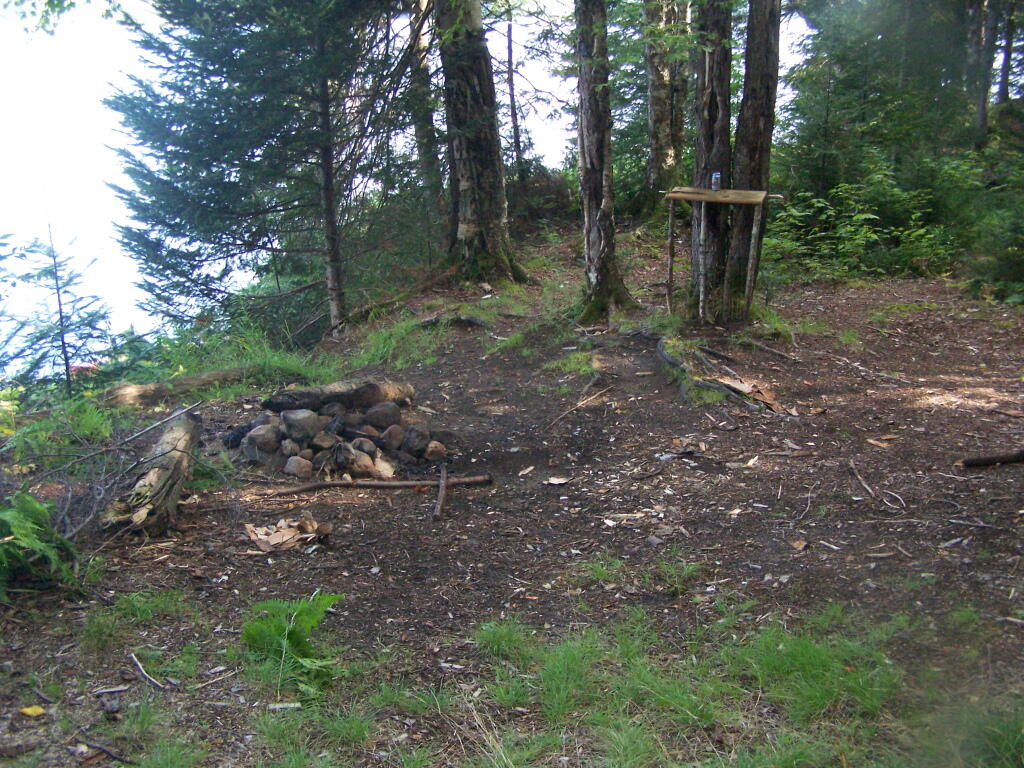
The minutes of the December 9, 1963 Department staff meeting mentioned above included in the list of recommendations for the operation of the area that the Department should establish several small camping areas to include table, fireplace and latrine throughout the area adjacent to the roads where parties can park and camp. By 1965 the Department began constructing campsites and installing fireplaces, picnic tables and privies, which were built in a field just west of the Cedar River entrance. At each suitable location along the road system, a bulldozer was used to make a short access driveway and level an area where a car or pickup truck could park and camp. A number of campsites were created at former log landings. Many of the areas originally intended as roadside parking areas later were converted to campsites. Campsite construction was completed by the late 1960s.

Campsite 55

Because of the importance of the Plains as a deer wintering area, the Departments game management staff began studying the area in 1931. Hunting and fishing advocates such as the Adirondack Conservation Council supported the acquisition of the Plains and the development of its roads, trails and campsites for hunting and fishing access. In 1965 and 1966 with federal Pittman‐Robertson Act funding, 30 log landings were graded for hunter parking access and 30,000 trees were planted in the Plains area as an experiment intended to provide winter deer shelter.

Tall Pines in the Plains

In 1965 housing was constructed for the Limekiln and Cedar River gatekeepers. The possibility of a use fee was discussed, but no fee was charged during the early years. During the 1976 season the Department charged a fee of $1.50 or $2.00 per car. A subsequent assessment determined that most of the revenue generated by the fee was offset by the costs of staffing and administration. The fee was discontinued the following year.

Entrance to Moose River Plains

Work to clear hunter access trails by bulldozer continued for a few years. However, after repeated incidents of public motor vehicle travel on these trails, 16 barriers were installed in 1970, and motor vehicles no longer were used to maintain the trails. Also in 1970, the original road plan was changed to close 22.5 miles of the original III. Management and Policy Moose River Plains Wild Forest Revised Draft Unit Management Plan/Draft Generic Environmental Impact Statement ‐ July 2010 67 30.5 miles of secondary roads to the public and retain them as administrative roads. The other 8 miles, consisting of the beginning of the Otter Brook truck trail and the road to the Indian River, were upgraded to primary roads and the gate at the Otter Brook bridge was removed.

Otter Brook Bridge is Closed

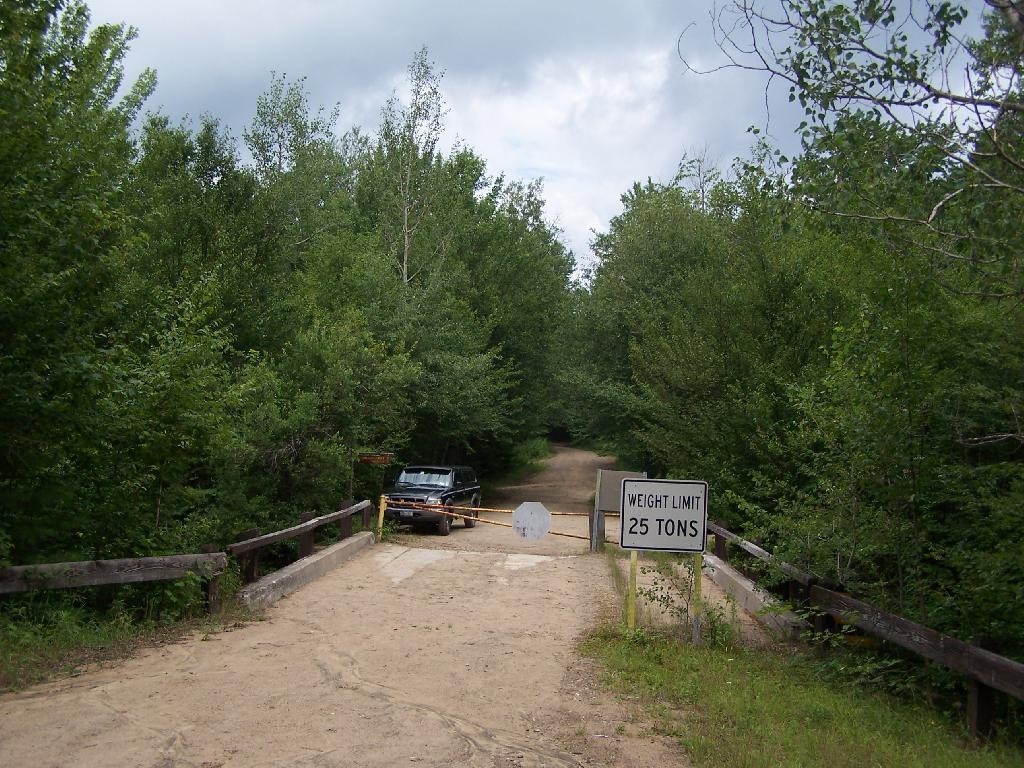
As work progressed over the years and the condition of the road system improved, the Department relaxed restrictions on the types of vehicles the public could drive. In the late 1960s the Department decided to allow motorhomes up to 22 feet long to travel the roads through big game hunting season, as long as they had tire chains. It was thought that they were less likely to get stuck than vehicles towing camping trailers, which the Department continued to prohibit. However, pressure to allow trailers began early and continued to grow. After Department staff conducted an assessment of the roads and determined that they had been sufficiently improved, they decided to allow trailers beginning around 1980.

For several years after the Department first erected wood signs in the MRPWF, they were repeatedly damaged by black bears. To prevent further destruction, metal signs were installed in 1975.

6.5 Miles to Lost Pond

A detailed Department map prepared in 1977 shows 222 campsite and parking area locations along the road system. The map provides an inventory of the structures at each site, showing the prevalence of fireplaces, picnic tables and privies at the time. Twenty sites were closed in 1980 after the reclassification of the southwestern portion of the area to wilderness, when the road to the Indian River was gated at Indian Lake. The campsites were not given numbers on the ground until the 1980s. A number of original sites that had fallen into disuse were bypassed when the numbers were assigned, so that in 2008 there are 170 numbered sites. In 2006 sites 7, 34, 66, 73, 90, 119a, 130 , and site 1 at Cedar River Flow were modified and designated as accessible sites.

In recent years, maintenance activities have focused on keeping the road system in passable condition, replacing inadequate culverts and trail maintenance. In 2001, four gravel pits were reclaimed and replanted.

Warning! Road Washed Out

In 1996 an engineering evaluation was completed for the public motor vehicle roads in the unit. The report focused on 8 major and 12 minor culvert problem areas and made recommendations for replacing existing culverts with new structures of sufficient capacity to handle a design storm of 100‐year occurrence probability with a snowmelt allowance. Between 2000 and 2005, 11 of the 12 minor sites, with the exception of site 10B, were addressed and site 5A of the major sites is the only one complete. The report and an updated status can be found in Appendix 22.

Straight Thru the Plains

In 1974, jurisdiction over approximately one acre of State land was transferred from the Hudson River‐Black River Regulating District to the Department for use as a canoe access site on Sixth Lake. In 1986, the Department transferred jurisdiction of 6.41 acres of State land along Sagamore Road to DOT. This parcel encompasses an old sand pit and was transferred so that DOT could relocate their maintenance facility from an area immediately adjacent to State Route 28 to a more screened location. DEC reserved the right to use gravel from this site, as long as it did not interfere with the DOT facility. Currently DOT does not use the site, but may use it at some time in the future.

Moose River Plains Overview

When the Moose River Recreation Area was first opened to the public, use levels were relatively high. During big game hunting season in 1964, 2,021 vehicles with 5,764 passengers signed in. Though the area originally was purchased and developed for use by hunters, trappers and anglers, the first 10‐day report filed after the 1965 opening on July 1 indicated that 75 percent of visitors were campers and sight‐seers. In 1966, 7,809 people signed in as anglers and 23,408 camper‐days were recorded during big game hunting season, about 6,000 of which were recorded for campsites beyond the Otter Brook bridge. Big game hunters were very successful in the early years, harvesting 373 deer and 15 bear in 1966 and a high of 404 deer in 1968. Deer harvest levels declined sharply after 1969, with 77 harvested in 1970 and 11 in 1971. Since the 1970s the number of deer taken by hunters has increased and in recent years harvest numbers have nearly returned to the levels recorded in the 1960s. The MRPWF remains popular with hunters, trappers and anglers.

Thunderstorm Coming to the Plains

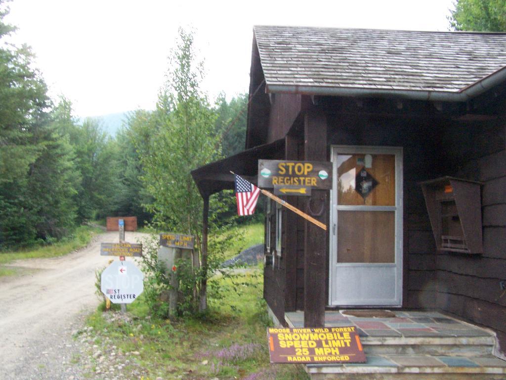
Early management included the adoption of a number of regulations in 1972. These regulations, which still apply to public use of the area, require visitors to register at the Cedar River and Limekiln entrances, require the use of tire chains after October 1 except on 4‐wheel drive vehicles, prohibit snowmobile operation during the big game hunting season and prohibit the use of motorcycles and motorized bicycles. Current conditions may warrant the elimination of the registration requirement and the prohibition against motorcycle use.

Kayaking Cedar River Flow, August 2010

The Cedar River Flow is a 3 mile dammed up river, that provides a beautiful area to paddle around in between the Blue Ridge Hills, and other mountains that surround it. There are dozens of campsites along the lake, you can paddle on around in. On August 11th, I camped up at the Cedar River Flow Camping-area in my pickup truck, and paddled around the lake, up into the Cedar River a ways beyond the end of the flow.

Cedar River-Limekiln Lake Road

Hook Near Payne Brook. Where it enters the Cedar River Flow, about a 1/2 mile from the entrance of the Flow.

Hook Near Payne Brook

Across Cedar River Flow. This more open portion was a bit rougher, although the wind was pretty slack on this day. Blue Ridge is in the distance.

Across Cedar River Flow


Wakely Fire Tower. As seen from the middle of Cedar River Flow, over Sturges Hill. I previously hiked it, and it was a nice hike</>.

Wakely Fire Tower

South Over Cedar River Flow. It was pretty bright and glarey on the lake. I had my sunglasses on, and even had enough sunscreen on, along with the cowboy hat, but not putting sunscreen on my legs, left with me with bad burns on the legs.

South Over Cedar River Flow

Parked on Cedar River Flow. At one of the campsites. I really had to take a piss, because that’s what drinking beer does to me, and it’s pretty hard to do in a kayak, without hoping out.

Parked on Cedar River Flow

Campsite on Cedar River Flow. This was one of the less nicer campsites on Cedar River Flow, causally developed and not by the DEC. The nicer paddle in campsites have picnic tables, and outhouses.

Campsite on Cedar River Flow

View from Cedar River Paddle-In Campsite. Quite nice, and a sandy beach for swimming and getting clean.

View from Cedar River Paddle-In Campsite

Edge of Cedar River Flow. This was at the campsite I pulled off at to take a piss.

Edge of Cedar River Flow

Cedar River Flow Becomes Marshier. As you proceed west on Cedar River Flow, it becomes shallower and shallower, until it’s marshland. It can be a little hard to paddle if you get out of the channel, but in the channel, it’s pretty deep.

Cedar River Flow Becomes Marshier

Marshy Flow and Pillsbury Mountain. This is almost the end of the flow, before it becomes all marsh, and you have to follow the Cedar River to get farther west then this.

Marshy Flow and Pillsbury Mountain

Sturges Hills and Wilson Ridge. This is across the marshy end of Cedar River Flow, looking to the north-west.

Sturges Hills and Wilson Ridge

Tougher Paddling. Soon I will find my way onto the Cedar River, which gets much easier, despite a fairly strong current on the river.

Tougher Paddling

Canadian Geese. On the Cedar River Flow.

Canadian Geese

Pond Lillies on the Marsh and Mush. Not fun at all for paddling through on the Flow. That said, if I was in the channel, it wouldn’t be so hard, but I was looking for another stretch and piss spot. All that beer made for tough going in the boat.

Pond Lillies on the Marsh and Mush

End of Cedar River Flow. From here it’s just marshland and the river, flowing to the south west.

End of Cedar River Flow

Paddling Thru Cedar River. The current was pretty strong, but still very much paddle-able from here.

Paddling Thru Cedar River

Down Along the Cedar River. It was a pretty afternoon for paddling, but my arms where starting to feel it against the current of the river.

Salad for the Pine Bush Dinner

Navigating Oxbow in Cedar River.

Navigating Oxbow in Cedar River

Back in the Flow. The low hills of Blue Ridge and Sturges Hills follow along the landscape of the flow.

Back in the Flow

Heading East Along Cedar River Flow. Only a couple miles back to the campsite.

Heading East Along Cedar River Flow

East Across Flow.

East Across Flow

South Across Cedar River Flow.

South Across Cedar River Flow

Kayak in Site on Cedar River Flow. This is one of the beautiful kayak-in sites that the DEC is proposing to close to appease the environmental extermists who believe the public should have no access to public lands.

Kayak in Site on Cedar River Flow

Very Basic Campsite. Still it seemed like some place that would be nice to paddle in one day with a tent.

Very Basic Campsite

A Quick Swim, Then Back in Kayak. This is another nice sandy beach at Cedar River Flow.

A Quick Swim, Then Back in Kayak

Shoreline Near Payne Brook. This is the hook that jets out into Cedar River Flow.

Shoreline Near Payne Brook

Kayaking Pass an Island. On the Cedar River Flow.

Kayaking Pass an Island

Island with Pillsbury Mountain. And several other mountains, looking west down towards the Plains.

Island with Pillsbury Mountain

Past the Payne Brook. On the Cedar River Flow. Almost back to Wakely Dam, and the drive-in campsites.

Past the Payne Brook

Flooded Lake. This portion of the Cedar River Flow, demostrates how very much this area was once open plains, until the DEC flooded the area shortly after obtaining the land from Gould Paper Company in 1967.

Flooded Lake

Back to the Wakely Dam. As you can see, it’s already starting to get dark. By the time I’m out of the water, and cleaned up, it’s already 6:30 PM. I then go for a little drive up to the plains (an hour away), and pick blueberries.

At the door

The Wakely Dam. There are no posted weight restrictions on this dam, and people regularly bring their fifth wheel campers across it. That said, the Albany bureaucrats in the DEC wants to close off vehicular access, because they don’t believe the public should be allowed to camp on their own lands, especially not in something like a pickup truck or an RV.

The Wakely Dam

Getting Ready to Pull Out. I’m camping at the site right next to Wakely Dam</>, namely site No 8.

Getting Ready to Pull Out

Here is a map of the lake. The Wakely Dam is to the North, the Cedar River flows from the south in the West Canada Wilderness.

Pillsbury Mountain Firetower

Pillsbury Mountain Firetower is located at the edge of the Jessup River Wild Forest and the West Canada Wilderness. To reach there, you have to drive North of Spectulator, and take about 6 miles of fairly smooth logging roads through International Paper’s Perkins Clearing Easement.

Pillsbury Mountain Sign

Hiking Bridge Across Miami River. Not that th Miami River really deserves to be called a river, but on the trail up the Pillsbury Mountain, its particularly small.

Hiking Bridge Across Miami River

Taking the trail Up Pillsbury Mountain. It’s about two miles long, and not a difficult hike, although you do gain about 1200 in elevation.

Horse Farm Along the Trail

Broken Views Climbing Pillsbury

About a 1/4 mile before reaching the tower, reach marshy and thick boreal forest that the trail passes through, with some re-routes to avoid the muck kicked up over the years.

Often Muddy Trail Atop Pillsbury

Approaching Fire Tower.

Approaching Fire Tower

People Die Here. I kid you not, that’s what the cabin says when you first get here. Combined with the creepy fire tower top, it’s kind of neat.

People Die Here

Tower Cabin. That sure looks scary, doesn’t it? Now I understand why people die up here, probably with a secret DEC Forest Ranger, who hides up there, shooting at people he or she doesn’t like. Or maybe not.

Tower Cabin

Pillsbury Mountain Firetower

The tower is pretty conventional with normal looking landings, a rangers cabin, and a clearing for a helicopter to land in an emergency.

Landings

Fire Place and Clearing for Helicopter Landing

Old Rangers' Cabin

The views from the tower are quite great. Looking east thru the Jessup River Wild Forest.

East

Snowy Mountain to the North. If you look carefully, you can see the tower up top of it.

Snowy Mountain

South towards Lake Pleasant and Spectulator.

Lake Pleasant

Moose River Plans and West Canada Creek Wilderness from Pillsbury Mountain Fire Tower.

Moose River Plans and West Canada Creek Wilderness

North towards Cedar River Flow and Wakely Mountain. If you look carefully, you should be able to see the Wakely Mountain Firetower from here.

Towards Cedar River Flow

Map of the hike.


View Pillsbury Mountain in a larger map

Kane Mountain Fire Tower

Kane Mountain is located next to Canada Lake, which is just north of Caroga Lake on NY 10. I hiked up there one evening, after spending the day hiking in the South-Central Adirondacks. It is a wonderful, quick hike, perfect after a long day of hiking or outdoor activities as one heads back to the Mohawk Valley or Albany as the case may be.

Firetower After Dark

The trail up Kane takes you up about 500 feet in elevation over a 1/2 mile. It’s an old woods road, and well traveled, so don’t worry about hiking after dark if you have a flash light or even just moonlight.

Trail Up Kane Mountain

Reaching the top of the mountain you reach the Firetower and an old Forest Ranger’s cabin, which sadly has been broken into and vandelized. It still was interesting to walk in and take a look at the cabin, including the tiny little woodstove that once was there. The bunks and other furniture where long gone from it.

Ranger's Cabin on Kane

Remind me again why people have to be such pigs?

Inside Kane Mountain Ranger's Cabin

The Fire Tower has some really interesting views out of it, and it is an interesting place to watch the sun set from in the evening. Here is looking from the windows of the observer station, which have the glass removed.

East Through Tower Window

Looking due South, you can see Canada Lake, Sheely Mountain, and the Mohawk Valley to the South. Once you get South of Sheely Mountain, the area around Caroga Lake is relatively flat until you get to the other side of the Mohawk Valley, with the ridges Schoharie High Lands.

Sheely Mountain

The light flickers over West Lake, which is connected to Canada Lake.

West Lake

Looking at the Southern Adirondacks, heading North along the NY 10 Coridoor. Until recently visiting this portion of the Adirondacks, I always generally viewed these lands as relatively flat, but instead as this picture shows, actually is fairly rugged, with peaks in the 2,000-2,500 elevation range, which is about 500-1,000 above the valleys below. Not flat exactly.

Mountains

Watching the setting sun from the Fire Tower.

Setting Sun

Through the tower windows in the cab as the sun sets.

Gorge

Due to the clouds, it wasn’t a perfect sun set, but just before the sun disappeared into the clouds, here is what I saw.

Good Night from the Tower

After sunset, looking at the fire tower by the last light of the day.

Firetower After Dark

Hiking back there was a full moon.

Moonlight Descending the Mountain

Here is a map of the hike.


View Kane Mountain Firetower in a larger map

11 Fire Towers I Visted In 2009, Part 1

This past year I have spent a great deal of time hiking up mountains and visiting fire towers. Here are pictures of the first five fire towers I visited this year, along with a short description and maps.

Make sure to all check out Eleven Fire Towers I’ve Visited This Year, Part 2 which will be featured on Tuesday, November 17, 2009.

April 5, 2009:
Overlook Mountain Fire Tower

The first fire tower I climbed this year was Overlook Mountain Fire Tower outside of Woodstock. This tower is nearby the remains of the Overlook Mountain House and has some rather awesome views.

Information and Pictures from my visit to Overlook Mountain.

Untitled


View Hikes of 2009 in a larger map

April 10, 2009:
Hunter Mountain Fire Tower

The second fire tower I climbed this year was Hunter Mountain Fire Tower outside of Hunter. This is the second highest mountain in the Catskills at 4040 feet. The views are less exciting compared to other mountains I’ve been up. I took the much steeper Beecker Hollow Trail, but one can take the longer horse trail in from the west side, if you don’t mind stepping in horse manure.

Information and Pictures from my visit to Hunter Mountain.

Hunter Firetower

Plateau Mountain


View Hikes of 2009 in a larger map

April 17, 2009:
Hadley Mountain Fire Tower

The third fire tower I climbed was Hadley Mountain Fire Tower in the Adirondacks near Hadley and NY 9N. This has some amazing views of the Great Sacanadaga Lake along with the Southern Adirondacks.

Information and Pictures from my visit to Hadley Mountain.


View Hikes of 2009 in a larger map

April 19, 2009 & August 2, 2009:
Beebe Hill Fire Tower

The fourth firetower I climbed this was Beebe Hill in the Taconics near Exit B3 of the NYS Thruway Berkshire Spur. It has great views of Northern Columbia County’s rolling country. There also is the Chance of Thunder Lean-to nearby the fire tower, so you can climb it up at night like I did one beautiful Saturday in August.

Information and Pictures from my visit to Beebe Hill.


View Hikes of 2009 in a larger map

June 6, 2009:
Mount Tremper Fire Tower

The fifth fire tower I climbed this was Mount Tremper in the Catskills. Despite having almost no views until you climb the tower, it does have some interesting views of the interior Catskill Mountains. It was a somewhat hot and hazy day when I climbed the mountain.

Information and Pictures from my visit to Mount Tremper.

Mount Tremper Firetower

Devil's Clove


View Hikes of 2009 in a larger map

June – November:
The Next Five Towers.

If you like this, then make sure to see the next six on Eleven Fire Towers I’ve Visited This Year, Part 2.