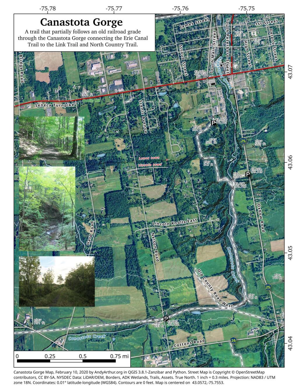
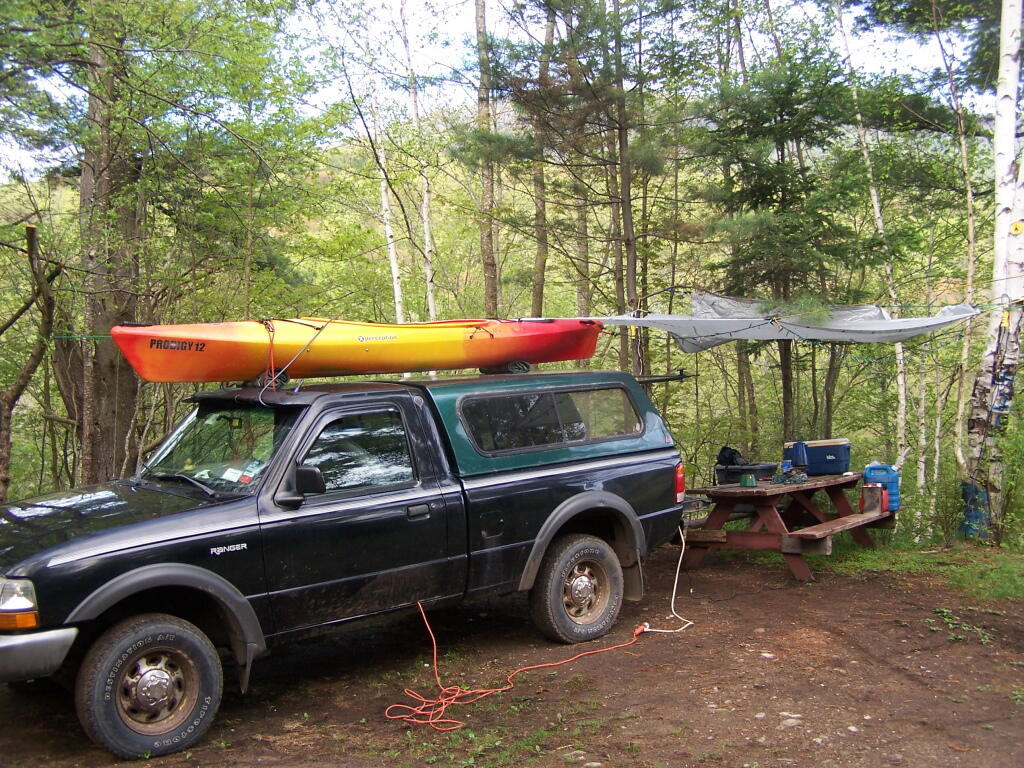
Morning at the Campsite
This past week, I decided to re-do the Moose River Plains Maps I had previously rendered in QGIS. I got some new data from the DEC, and wanted to simply the existing maps by taking off Wilderness Boundaries, and other details not of particular interest to hikers, campers, and kayakers. I also removed campsites that are in process of being removed or relocated under the finalized Unit Plan for the area. Be aware that the elevation on these maps is metric, as that’s what the NYSDOT Topographic Maps use in this region.
Click on any of the maps to display the high resolution version, that you can download and save, or print. Laser printers are great, especially for the Cedar River Flow Maps, as they’ll keep the ink from the running. All of these maps are free for you to use and distribute as they are based on public data. If you have ideas on how to improve these maps or seek similar maps of the area of other trails or locations, please feel free to contact me at andy@andyarthur.org.
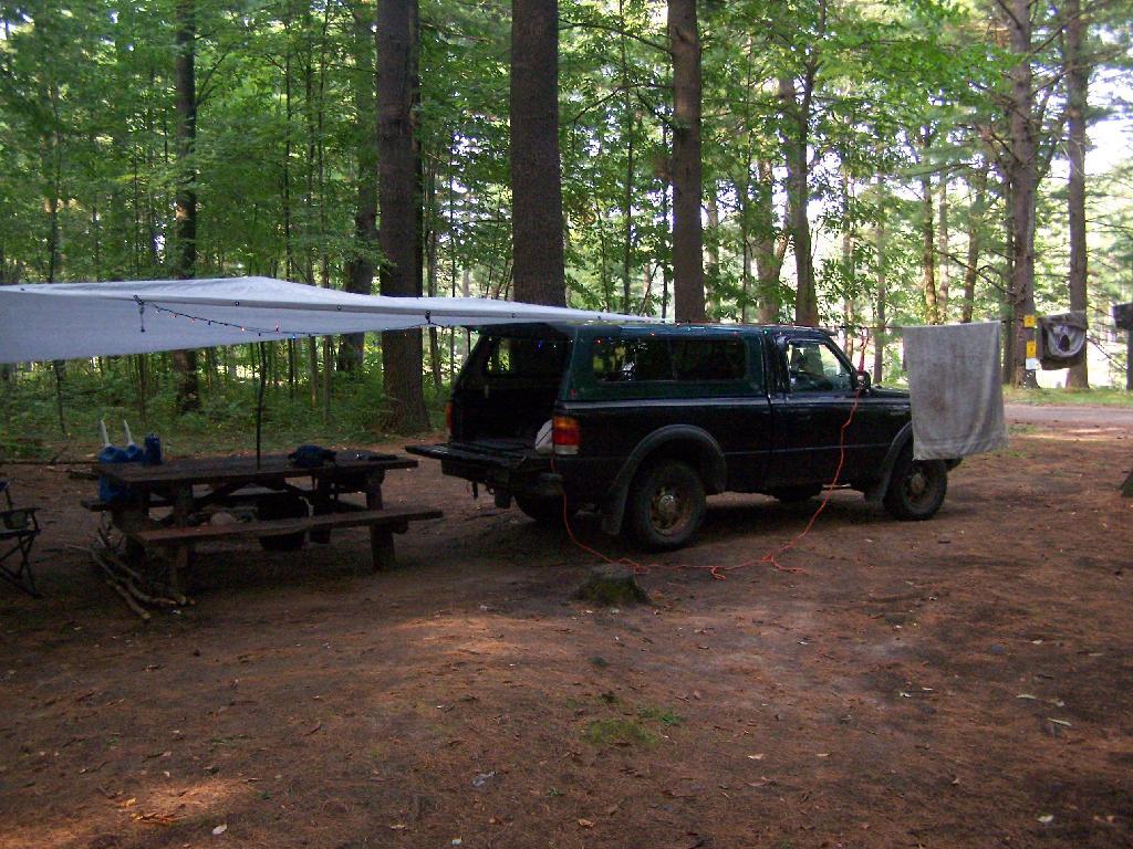
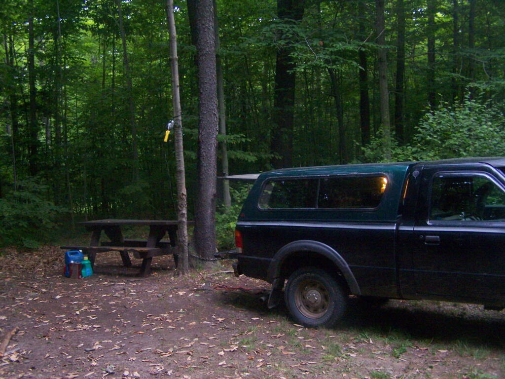
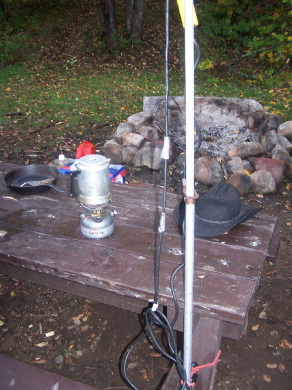
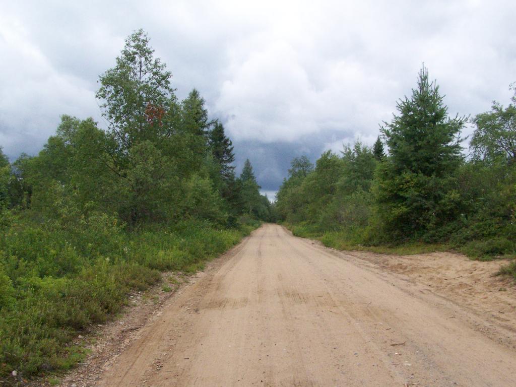
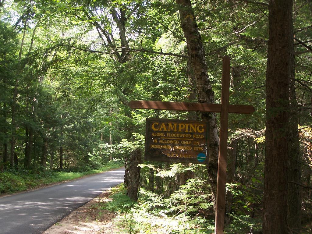
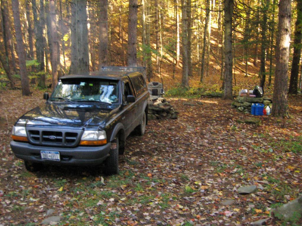
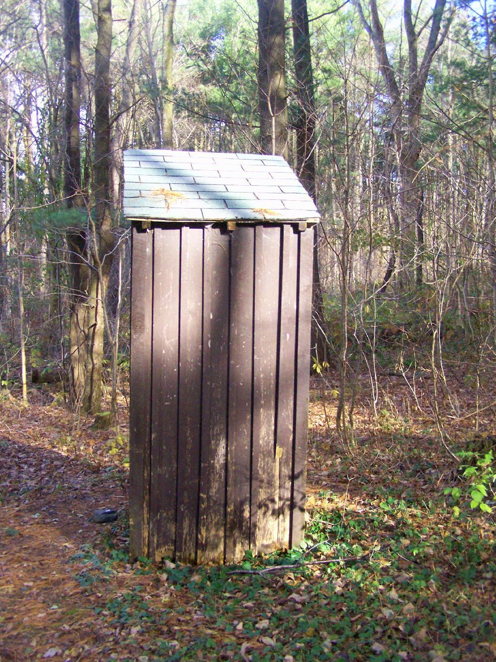
There is no charge to camp here, however if you plan on staying more then 3 nights, you will have to a get a free permit from the forest ranger. Most campsites offer picnic tables, fireplaces or rings, and outhouses. Moose River Plains are all back country dirt roads, with a speed limit of 15 MPH, and there are some rough sections on the roads. As of September 2011, all of the roads shown on these maps are open.
Roads are red, hiking trails are black dotted lines on the map. All of the campsites in pink shaded area (“Moose River Plains Camping Area”) offer vehicle accessible camping including RVs and other tow-behind campers. The campsites outside of the “Camping Area” — specifically those on Otter Brook Road — will in the future be reserved for tent camping (most with vehicle accessability) except during Big Game Season when campers will be allowed at all sites. Most of the other trails with campsites on them offer wheelchair or mountain bike accessiability, as they tend to be gravel paths.
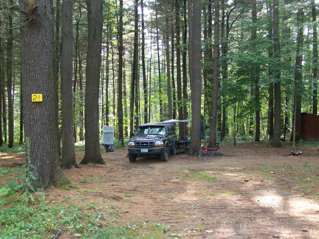
Note: Campsites are numbered starting from the east, as you are coming from Cedar River Flow, heading towards Limekiln Lake. Many campsites have been closed or added over the year, and that’s why there are many gaps in the numbering system.


Cedar River Flow is a popular destination at Moose River Plains. In many ways it’s the gateway to Moose River Plains, as you reach Wakely Dam, which holds back the waters of Cedar River Flow as one of your first destinations heading West on Cedar River-Limekiln Lake Road from Indian Lake.
The Cedar River Flow is a popular lake for canoeing and kayaking. There are several designated and undesignated campsites along Cedar River Flow, with the designated ones shown on the map. There are also a handful of campsites, closely grouped together at Wakely Dam. The Cedar River is navigable for several miles upstream, and some people will paddle to the Lean-To on Sucker Brook Trail.
Along the Northville-Placid Trail near Wakely Pond there are several designated tent campsites. A map of Wakely Pond-Wakely Dam Areas, and the rapids downstream of the Cedar River Flow.
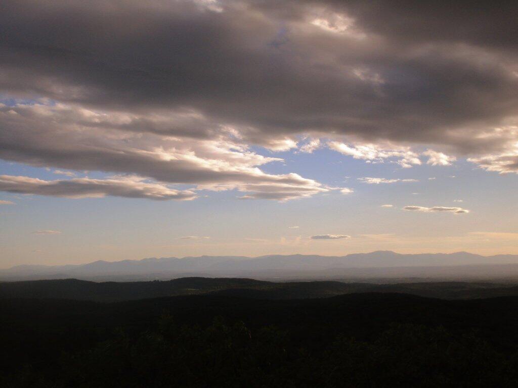
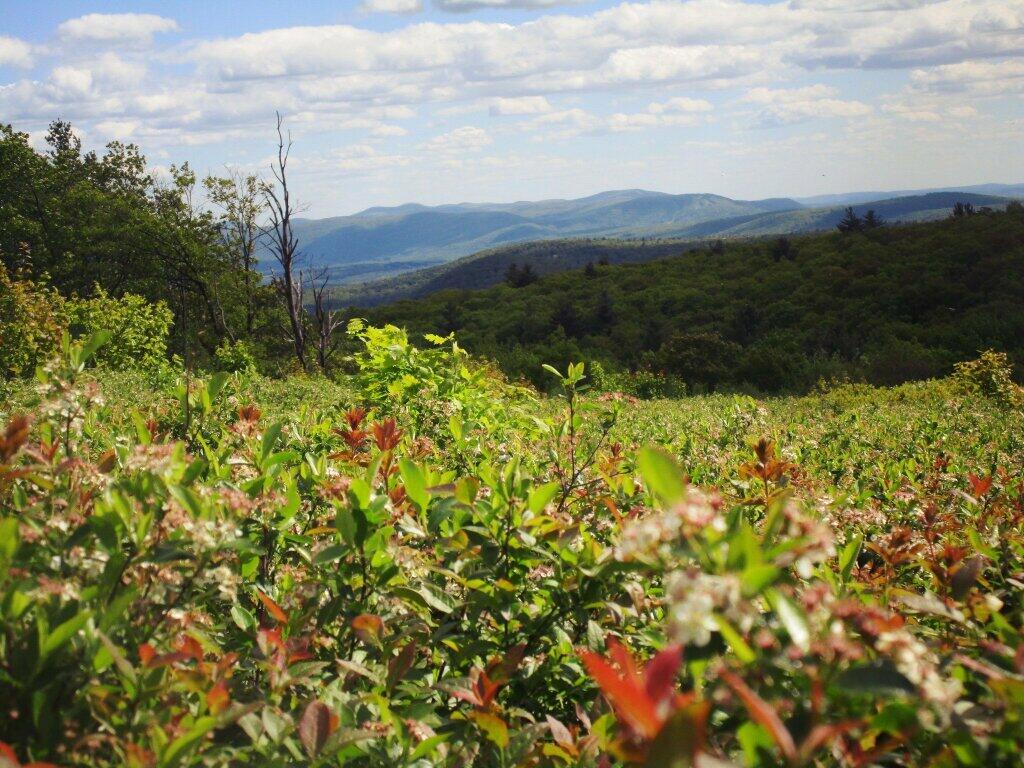
By far one of the most popular destinations in the area is the Wakely Mountain Fire Tower. It offers truly spectular views of Moose River Plains, Blue Ridge Wilderness, West Canada Wilderness, Fulton Chain of Lakes, and even the High Peaks.
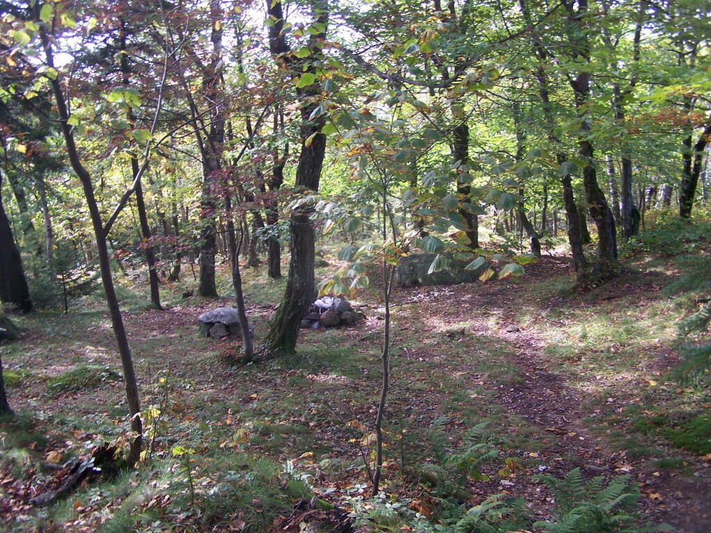

Pretty close to Campsite 2, but other then that, another really beautiful roadside campsite.
Taken on Saturday September 3, 2011 at North Lake Reservoir.
1) Roughly a quarter mile separation between each campsite to enhance privacy, allow people to make noise or listen to music into the night, without disturbing other parties.
2) A flat place to park and set up camp, far enough off the road to provide some privacy buffer and ensure safety – i.e. not having people putting up tents right next to the truck trail where cars could be passing at any moment.
3) Provides wild forest experience, with tall and old growth or nearly old growth trees around the site.
4) Not aggressive regulation of campsites, minimal patrolling by government bureaucrats.
5) Provides a relatively flat and open place to camp with some gravel or elevation so it’s not too muddy even after use.
6) A clean site without a lot of litter – people should be encouraged to burn their burnable garbage, and make sure to pack out anything that can’t be burned. Fireplaces and firepits are much more desirable then stone rings.
7) Outhouses help enhance sanitary conditions at campsites, especially well used ones. Too often campsites have litter in the form of toilet paper, and to a lesser extent human waste, from it getting dug up by animals.
8) Picnic tables are nice to have but not essential. Bring your own table!