
Putnam Mountain Now that Fog Has Lifted

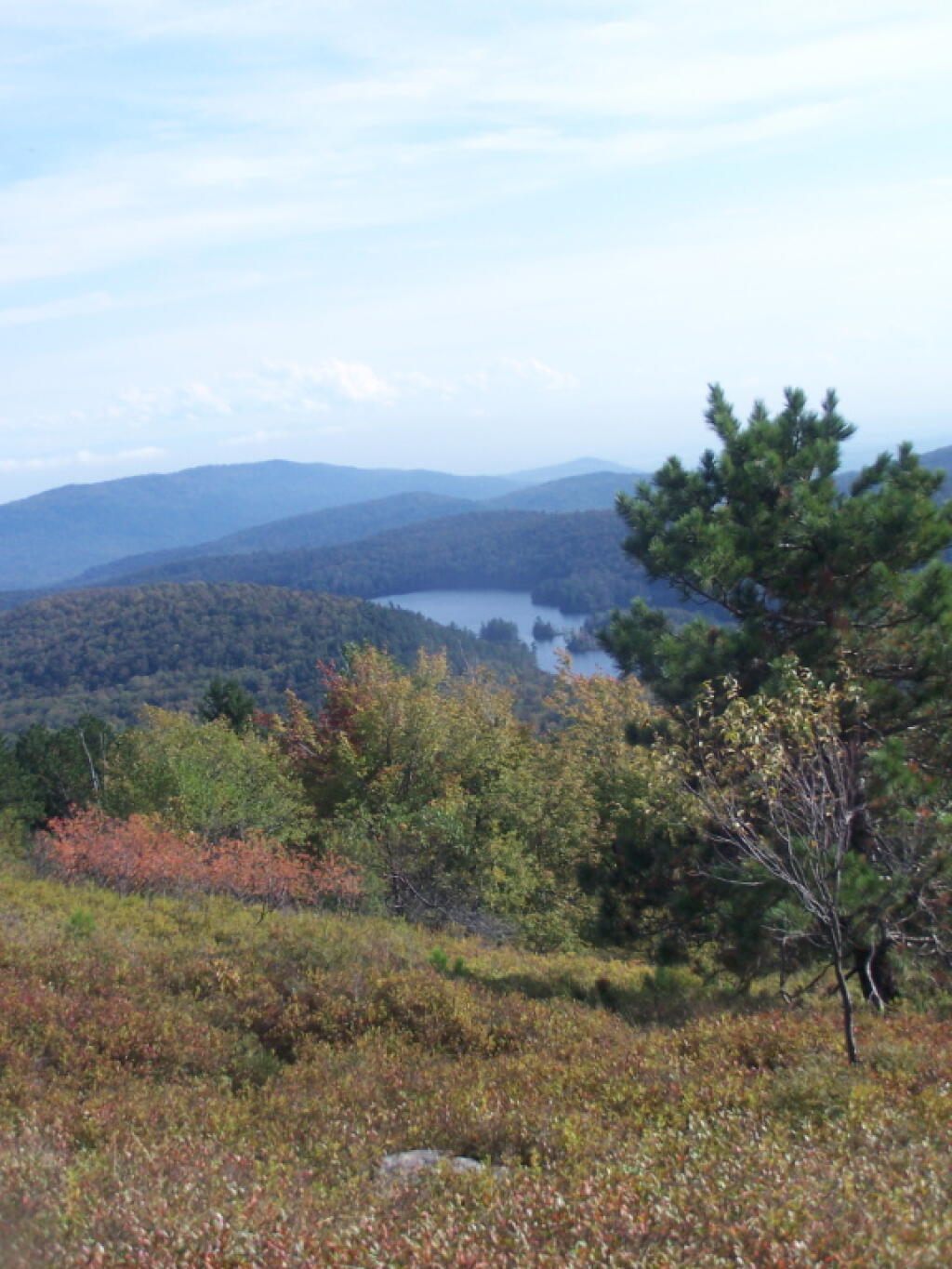
South-West Off Buck


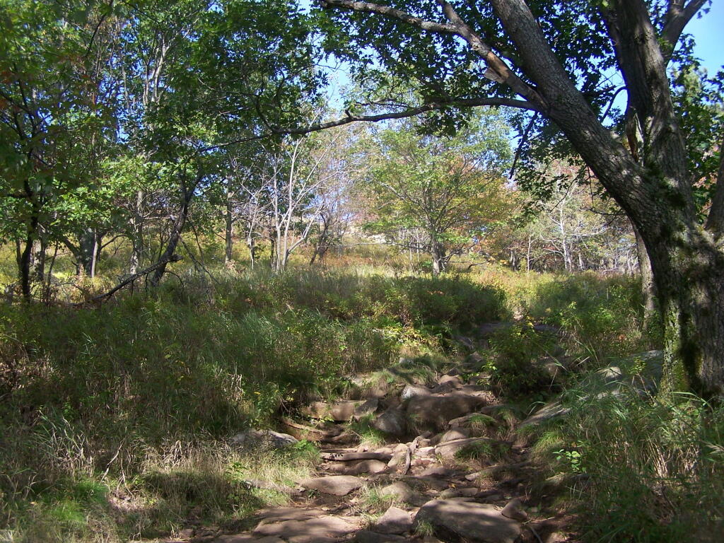
Off the Mountain
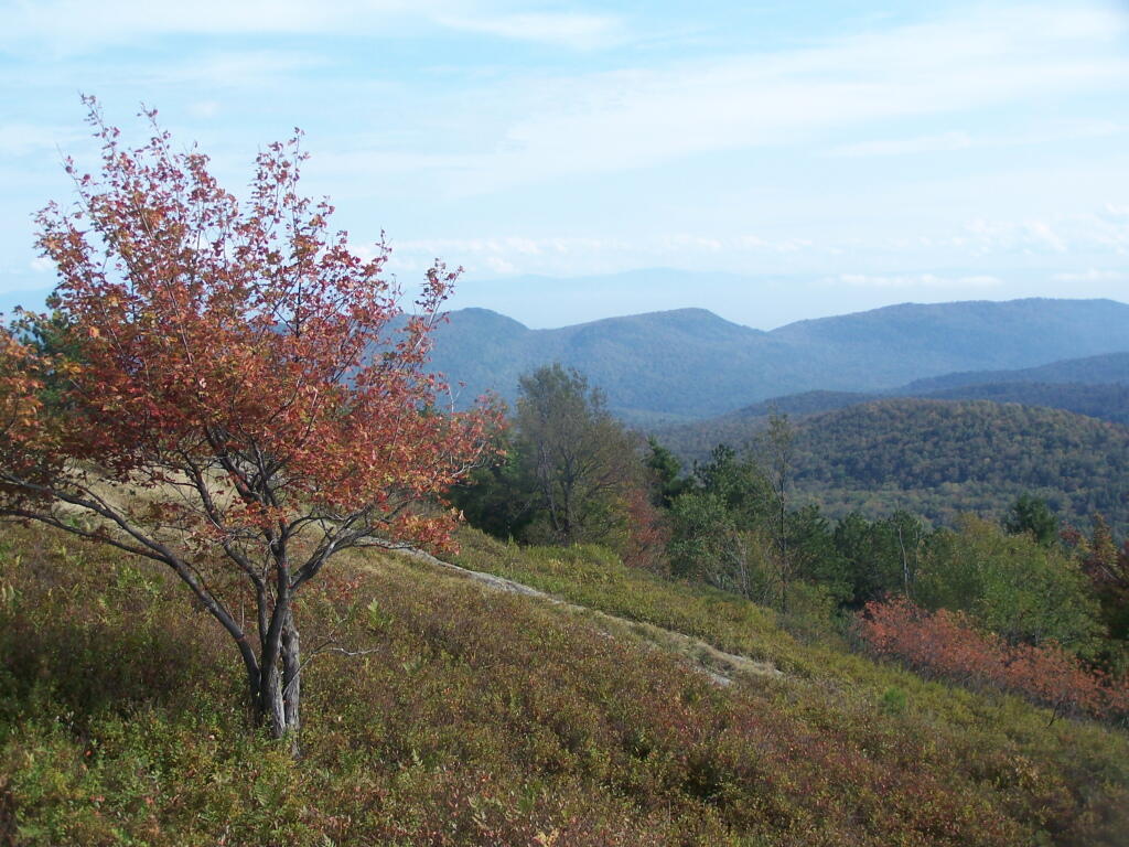
Clearing On Buck
You can see from this relatively open area why Buck Mountain get's it name. As mountains go, due to it's shallow soils, there is quite a bit of grass, blueberries, and underbrush, for deer to graze on.
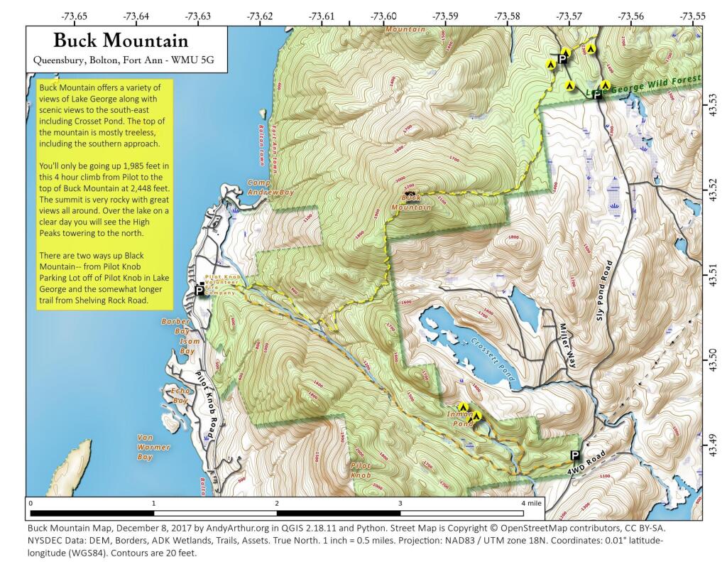
Wednesday September 21, 2011 — Buck Mountain — Buck Mountain 🗺