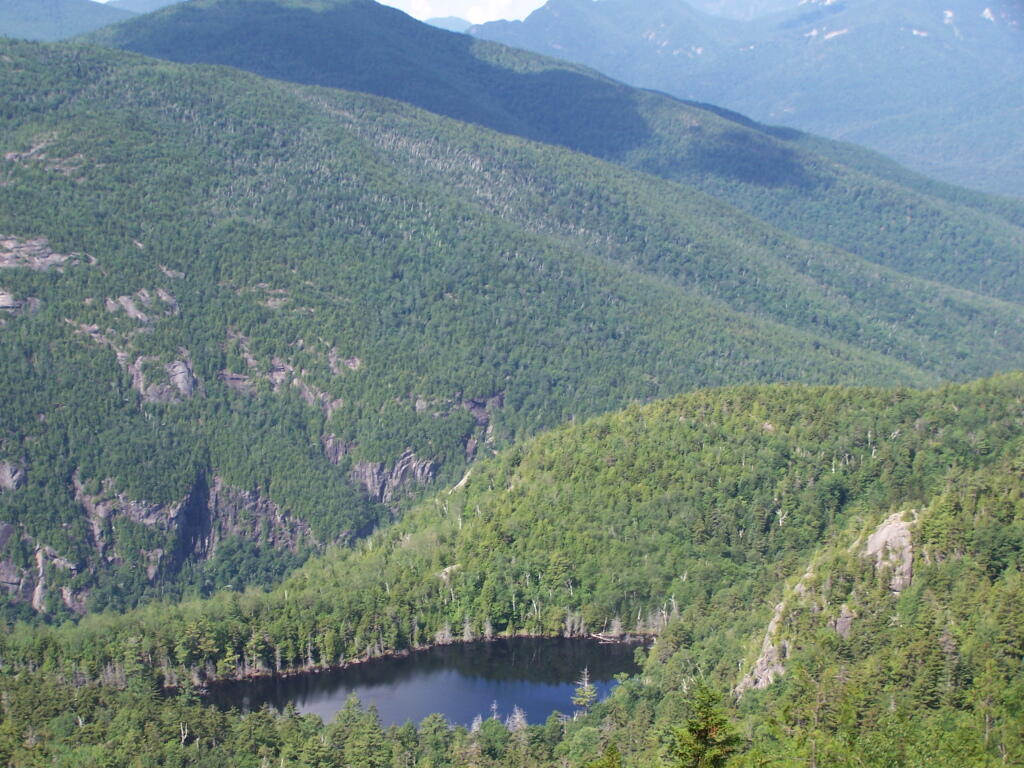
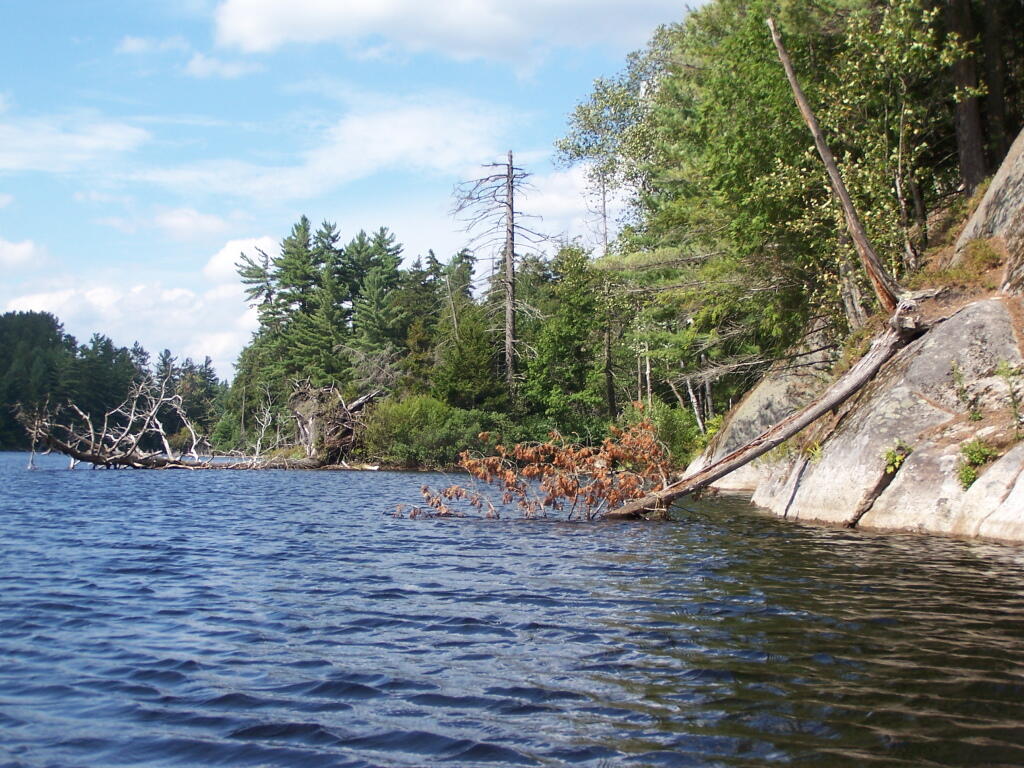
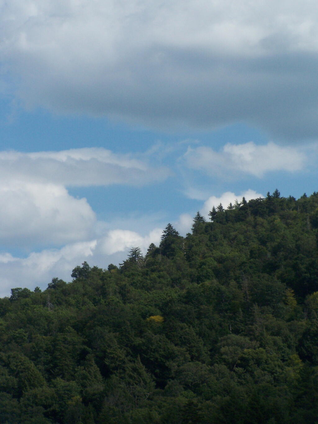
The Adirondack Park is a publicly protected, elliptical area encompassing much of the northeastern lobe of Upstate New York. It is the largest park and the largest state-level protected area in the contiguous United States, and the largest National Historic Landmark. The park covers some 6.1 million acres (2.5×10⁶ ha), a land area roughly the size of Vermont and greater than the National Parks of Yellowstone, Yosemite, Grand Canyon, Glacier, and Great Smoky Mountains combined.
The Adirondack Park boundary, commonly referred to as the ‘Blue Line,’ contains the entire Adirondack Mountain range, as well as some surrounding areas, all within the state of New York. The park includes all of Hamilton and Essex counties, as well as considerable portions of Clinton, Franklin, Fulton, Herkimer, St. Lawrence, and Warren counties and small portions of Lewis, Oneida, Saratoga, and Washington counties as well. (The Clinton County towns of Altona and Dannemora, despite being entirely within the park boundary, are specifically excluded from the park by statute, due to the large prison facilities in both towns.)
Not all of the land within the park is owned by the state, although new sections are frequently purchased or donated. State land comprises 2.7 million acres (1.1×10⁶ ha), about 45% of the park’s area, including the highest peaks in New York State, as well as Mount Marcy, the highest elevation in the state. About 1 million acres (400,000 ha) of this is classified as wilderness, with most of the remainder managed under the somewhat less stringent wild forest classification. Villages and hamlets comprise less than 1% of the area of the park; the remaining area of more than 3 million acres (1.2×10⁶ ha) is privately held but is generally sparsely developed.[3] There is often no clear demarcation between state, private, and wilderness lands in the park. Signs marking the Adirondack Park boundary can be found on most of the major roads in the region, but there are no entrance gates and no admission fee.
The State of New York has too much legislatively-designated wilderness, or lands designated as wilderness by the act of a bureaucrat, but not necessarily true wilderness. Legislatively defined wilderness typically has:
Remains of former logging and farm roads with graded embankments cutting into hillsides.
Former ruins of houses and barns, long burned down, but visible on the landscape.
Non-native trees and plants planted by earlier settlers.
Lands that lack old-growth timber and the diversity expected in lands not previously timbered or mined.
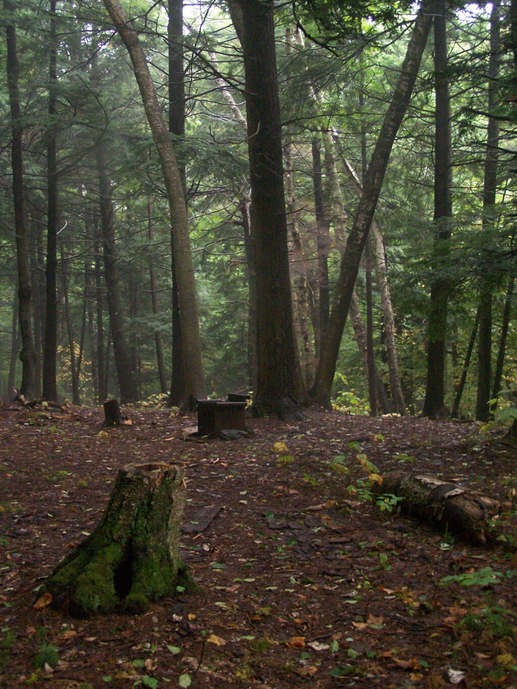
Many if not most wilderness parcels in New York State have old woods roads, the remains of farm fields and logging operations. While it’s certain that old growth forests and areas with unique or endangered species deserve special protections, wilderness status need not be granted so haphazardly in the park.
…generally appear to have been affected primarily by the forces of nature, with the imprint of man’s work substantially unnoticeable.
This would suggest that lands subject to timbering, agriculture, hunting camps, or other types of development in previous years should not be subject to wilderness rules.
Currently there are 1,016,979 acres of wilderness. I propose:
Capping forest preserve lands in the Adirondack Park to no more then 1 million acres.
Prohibit wilderness designation from any lands within a 1/4 mile of any public highway or intensive use area.
Requiring wilderness designation to show that any lands receiving such designation are truly untrameled by man and are authentic wilderness — such as old growth or close to at least hundred year or older forests.
Reclassify all lands above the 1 million mark as Wild Forest.
It’s pratically impossible to repeal existing lands with wilderness overlays, and convert them back to wild forest. Wilderness forever locks up land and limits what the public can use the land for. Therefore, there should be no material increase in wilderness ever again in our state.
Capping wilderness would have both strengthen the concept of wilderness in our state and improve the wilderness quality and scenic beauty. Capping wilderness at a certain level would have the following benefits:
Limit wilderness area would concentrate the wilderness designation to the most environmentally significant areas — such as old growth forests and the High Peaks.
Ensure that wilderness designation not be applied to places where it’s not appropriate.
Concentrate enforcement of wilderness designation to this limited 1 million acres within the Adirondack Park.
We already cap snowmobile trails and roads at their 1972 limits in the Adirondack Park’s State Land Master Plan. Even if the state obtains new parcels of lands, there can be no net increase in road milege, even if the lands increase. For the sake of fairness, we should also cap wilderness growth, or at least repeal the existing arbitrary caps on roads and snowmobile trails.
… excessive wilderness protections makes NO sense in public lands that where traditonal timber lands once stood.
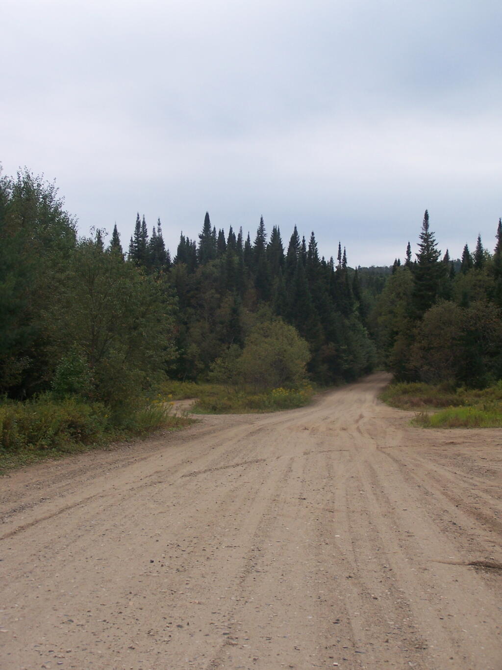
The most popular area in Ferris Lake Wild Forest is to camp along the 20-mile long Piseco-Powley, a spectacular seasonally-gated, state truck trail. Other roads in area provide more remote roadside camping opporunities and are listed below.
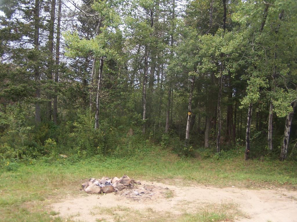
“The FLWF provides a variety of different camping opportunities. The interior portion of the unit contains numerous primitive tent sites that are located along the shores of the more popular lakes. These sites are designated with a yellow camping disk and often contain a fire ring. There are also a number of car accessible sites located along secondary access roads, such as the Powley-Piseco Road, G Lake Road, Mountain Home Road Extension and Edick Road. Most of these sites can accommodate small camper trailers. There are no lean-tos within the unit.”
Mountain Home Road Extension (Rough Truck Trail Past the Floe)
6
Powley-Piesco Road(Open Late Spring-December)
Northern Hardwoods Section Near Mud Pond
Central Section Near Marshlands of Powley Place
Southern Section Near Potholers
Please note that the roadside campsites are noted by “GLR”. The “GL” sites are traditional primative tent sites, beyond the gated end of G Lake Road, that you have to backpack into. This map is from the Ferris Lake Wild Forest UMP.
“Most of the camping on this area occurs during the hunting season and much of this is along the Streeter Lake Road. Sixteen campsites have been designated along this corridor and two pit privies established to accommodate this use.”
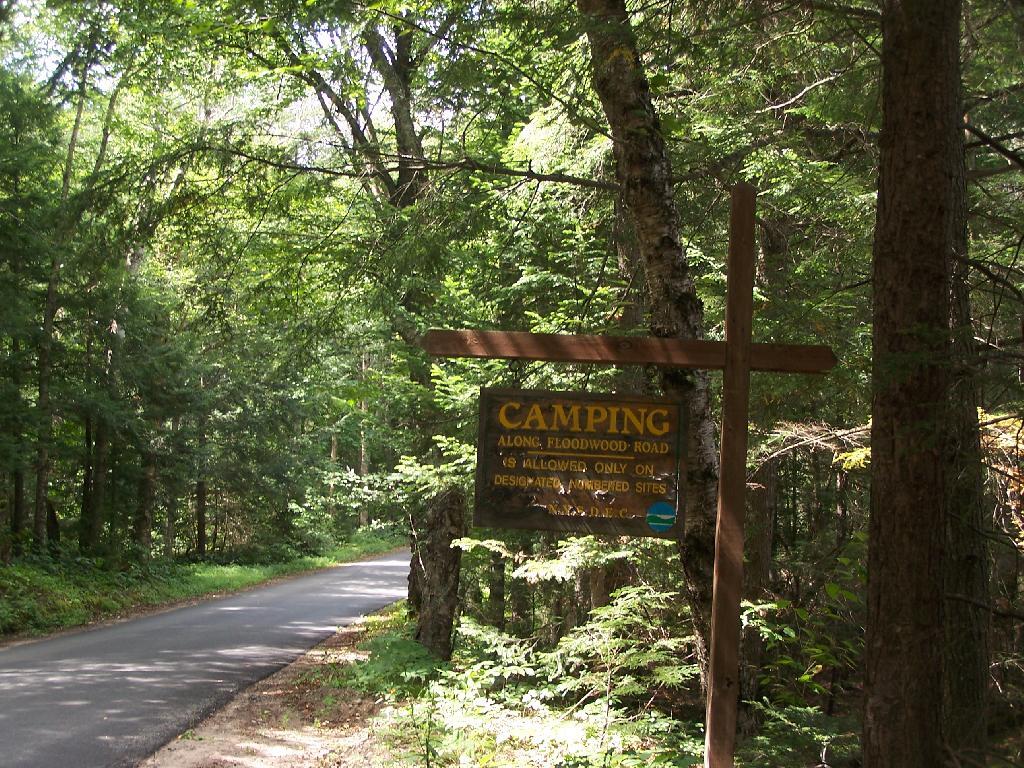
There are 16 designated campsites along Floodwood Road. Of those sites, one is located on Middle Pond, five densely spaced on Poliwog Pond, 10 others spread out along the road, approximently 1/4 mile apart. There has been discussion of closing and/or relocating some of the five designated campsites on Poliwog Pond. They literally are spaced within 10 feet of each other, with no buffers. The other sites are nicer along Floodwood Road. Note that there is an aggressive enforcement presence on Floodwood Road, so if you are going here just to hang out, be aware State Forest Rangers may be checking for compliance with law (camping in designated locations only, staying less then 3 nights without a permit, not being too noisey or disruptive).
The SUNY ESF/APA Roadside Camping in Adirondack Park Study also mentions 3 campsites on Hoel Pond Road which is just off Floodwood Road, and 9 campsites on Fish Hachery Road, just off of NY 30. The Unit Management Plan is not online, and they do not appear on State Land Interactive Mapper, so I can not confirm the current existence of these sites, so they are not included in the list.
Sarnac Lakes Wild Forest Map.
Please be aware that this map does not indicate campsite locations.
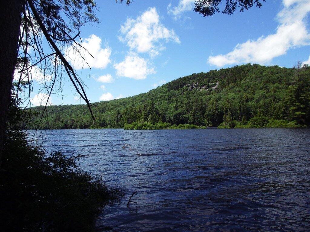
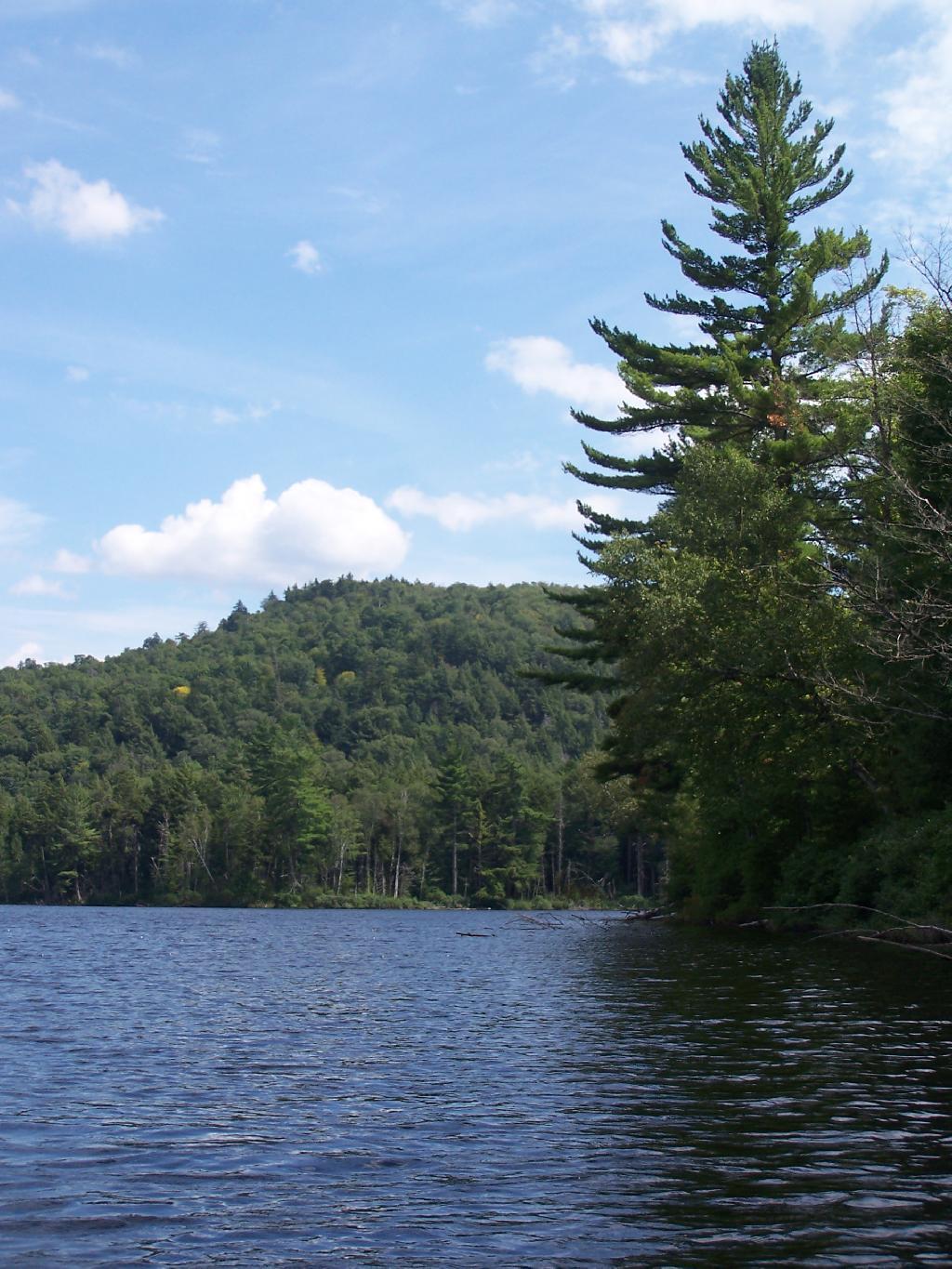
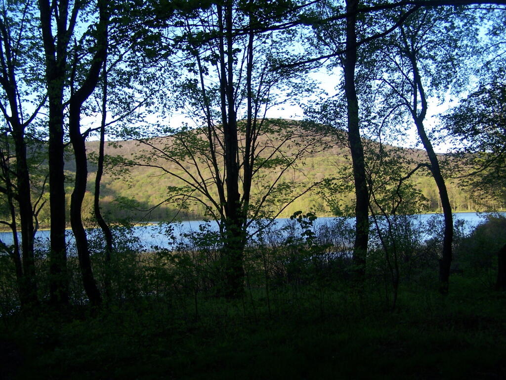
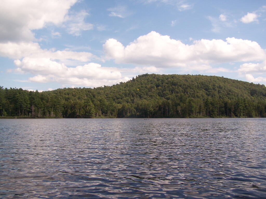
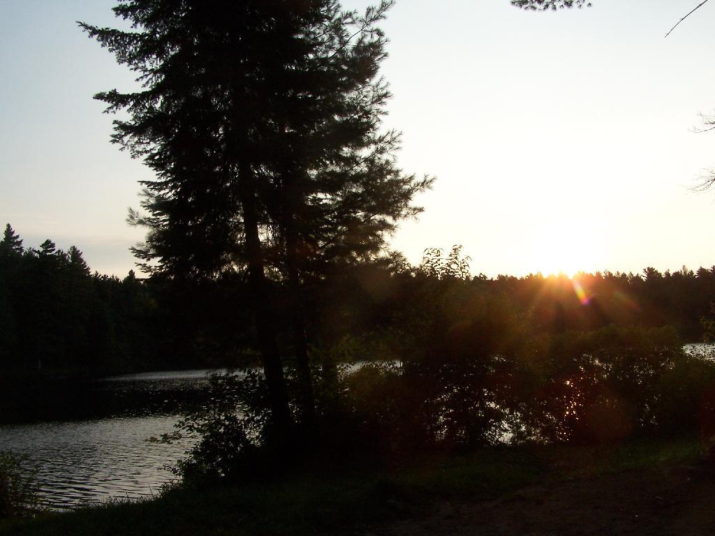
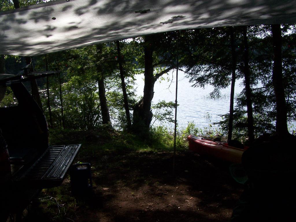
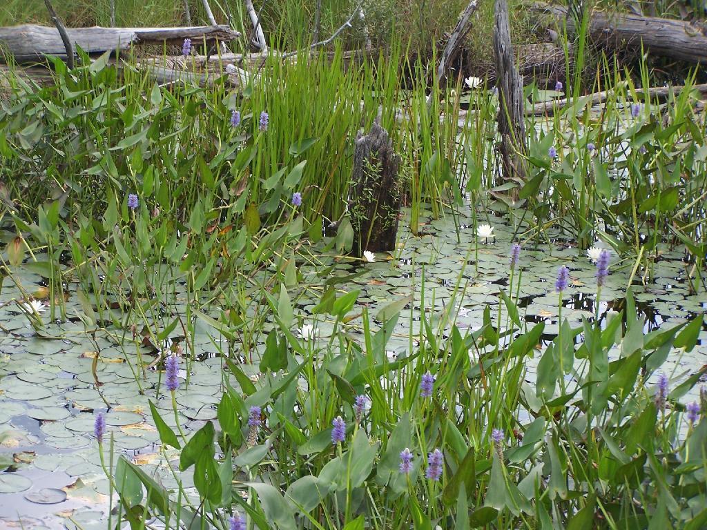
Mountain Pond is located about 2 miles North of Paul Smiths College on an old routing of NY 30. It is a mile long, has catch and release fishing, and good place for some solitude and flat water paddling. It is in Debar Mountain Wild Forest, with 2 large campsites on the pond, 3 smaller ones on or near the pond, and 10 other along Mountain Pond Road. It’s little used due to it’s remote location, and easy to even get one of the large sites on the lake on the weekends.
Paddling. Just paddling along Mountain Pond in the kayak.
Tall Pine. Lining the edge of Mountain Pond, as I ride around in the kayak.
Towards Jenkins Mountain. The last hill that makes up Jenkins Mountain is where Mountain Pond gets it’s name from.
From Southern End of Mountain Pond. This is looking from Campsite 1 at the Southern End of Mountain Pond, looking North. Old NY 30 winds right along the shore of NY 30, the New Routing is about a 1/2 mile away for NY 30.
Campsite No 1. This is campsite No 1 at Mountain Pond. It was never used on the Saturday Night I was there, but it looks nice, if not a bit small.
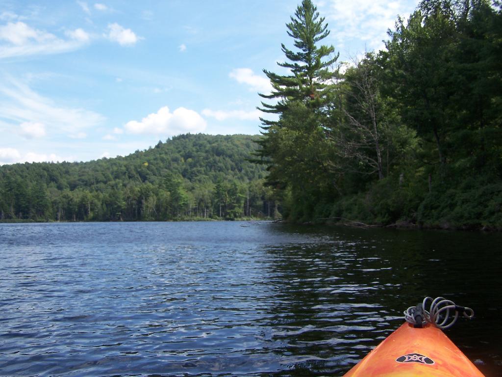
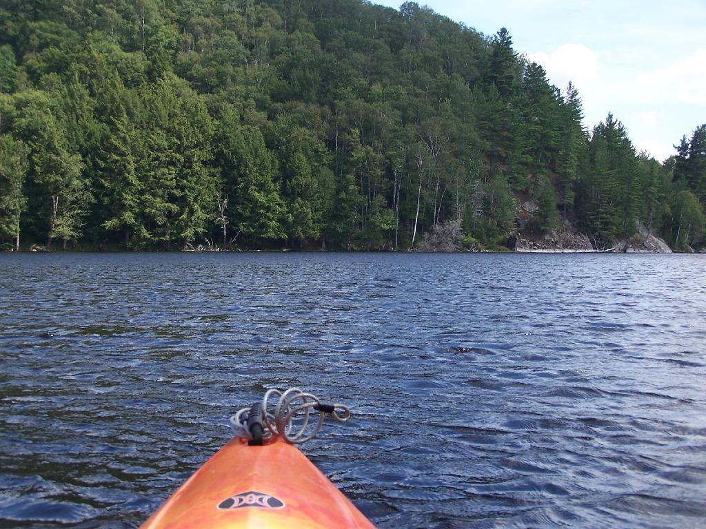
View from Campsite 1. Here my kayak is parked at Campsite 1, where I got out for a stretch. Looking south at this rather spectacular looking lake on a great day. The lake winds back and forth, for about a mile.
Along Edge of Pond. This is looking at the eastern, more mountainess shore of Mountain Pond.
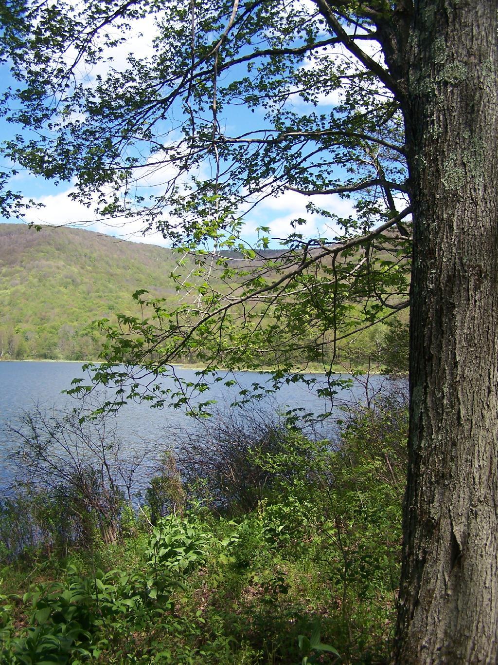
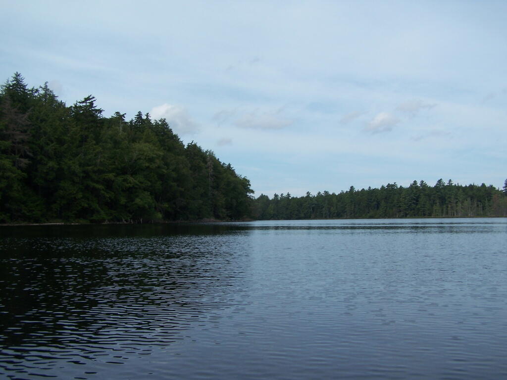
Central Part of Lake. On the left is the western shore, by where NY 30 runs. It is a beautiful, if not humongous lake with lots of shoreline and bys.
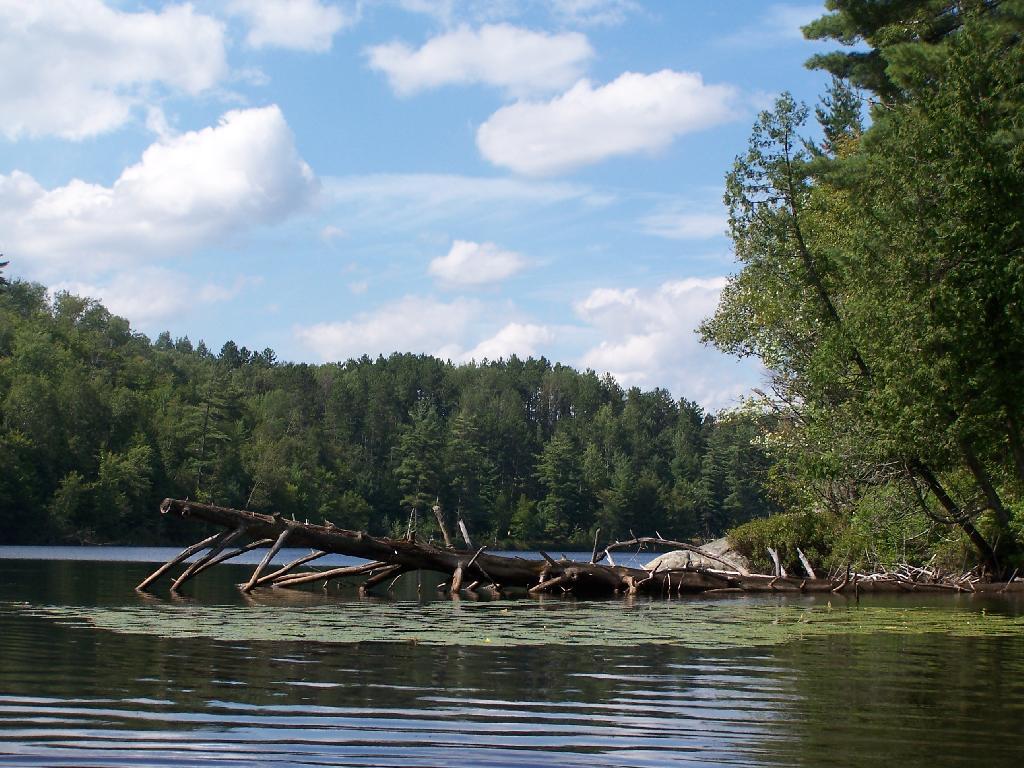
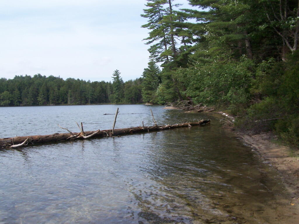
Many Downed Trees. There where many downed trees that had fallen into the lake, from the often steep eastern edge of mountain pond. Campsites are on the other side of the lake, and they all where in good shape.
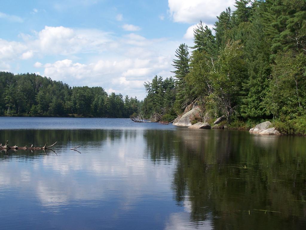
Northeastern Bay. Here is an Northeastern Bay at Mountain Pond. Not as pretty as farther south with the steep rock ledges against the lake, but still a classic Adirondack Lake.
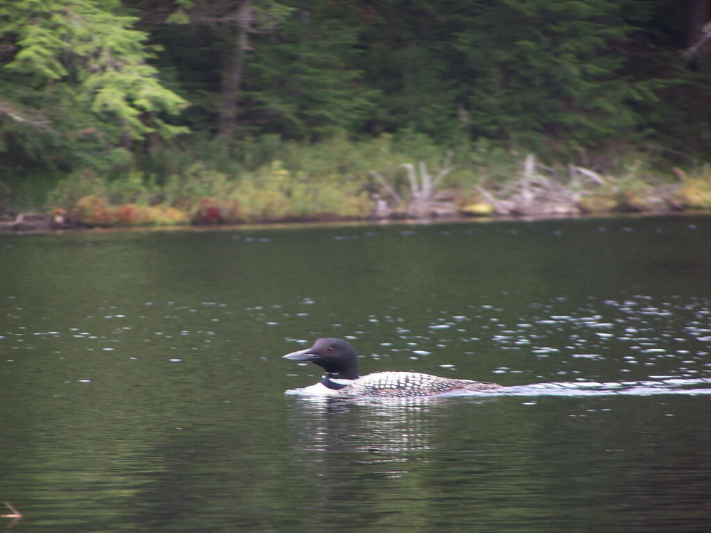
Loons. While this picture is somewhat in shadow, there where loons on Mountain Pond. They were not all that noisy, compared to Polliwog Pond or especially Mason Pond, where they howled quite bit more in the evening.
Mountain. This is the Mountain at Mountain Pond. It’s not much more then a hill, because Jenkins Mountain has largely petered out before reaching here, but it’s still a lot higher then surrounding elevation.
Campsites No 4 and No 5. As I had previously noted, Campsites 4 and 5 where pretty close to one an another. Nobody ended up staying at No 5, although somebody parked there for a while to go paddling.
Treeline. This is the tree line towards the top of Mountain Pond, on this rather beautiful day for sure.
Campsite No 4. This was taken from the lake. It was great to be right on the lake, at this very remote Adirondack Pond.
Mountain Pond is located about 2 miles North of Paul Smiths College on an old routing of NY 30. It is in Debar Mountain Wild Forest, with 2 large campsites on the pond, 3 smaller ones on or near the pond, and 10 other along Mountain Pond Road. It’s little used due to it’s remote location, and easy to even get one of the large sites on the lake on the weekends.
Old NY 30 Signs. Along Mountain Pond Road/Old NY 30, you can see the road signs dating back to the 1960s or maybe even earlier, prior to modern alignment of NY 30.
Campsite 4. Here is the view of Campsite 4 from Old NY 30/Mountain View Road and down by the lake. A nice campsite, big, roomy, and private, although the much smaller Campsites 5 is fairly close.
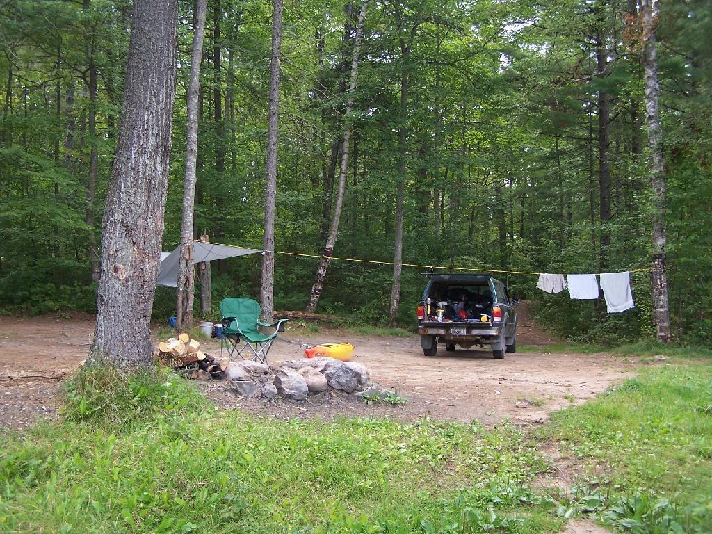
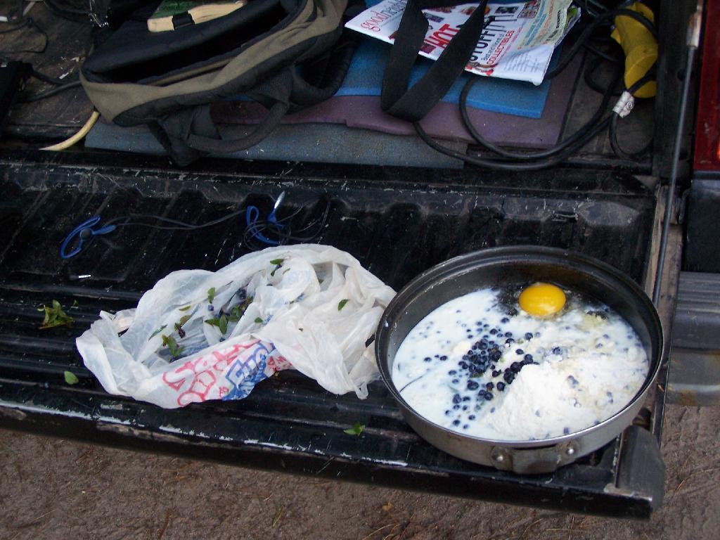
Making Up Blueberry Cake Mix. Here I’m the Blueberry Cake Mix, and getting ready to add the Blueberries I picked up at Moose River Plains. Should be real good.
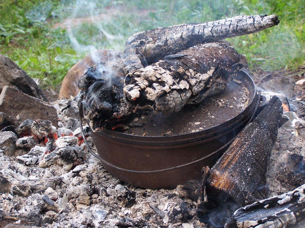
Baking in Dutch Oven. That sure smells good, doesn’t it. I put the pan that the mix was in dutch oven up on rocks, so it didn’t burn the bottom of the cake, and made sure to add adequate coals to the top to keep things cooking evenly.
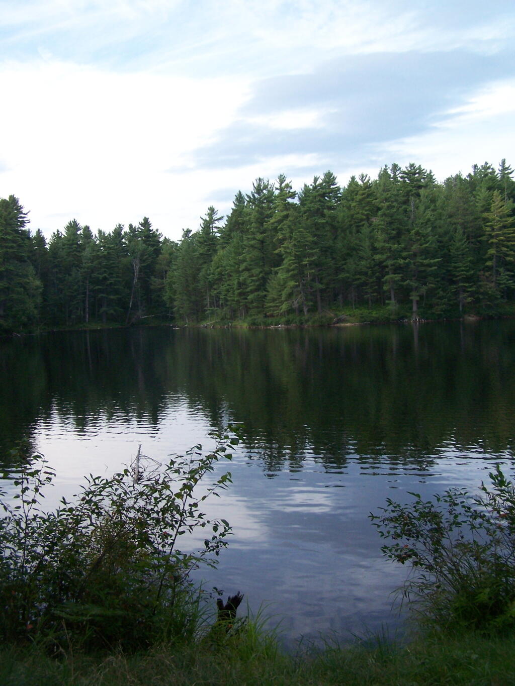
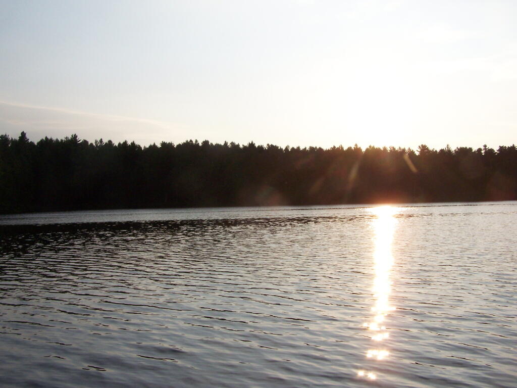
Mountain Pond in the Evening.
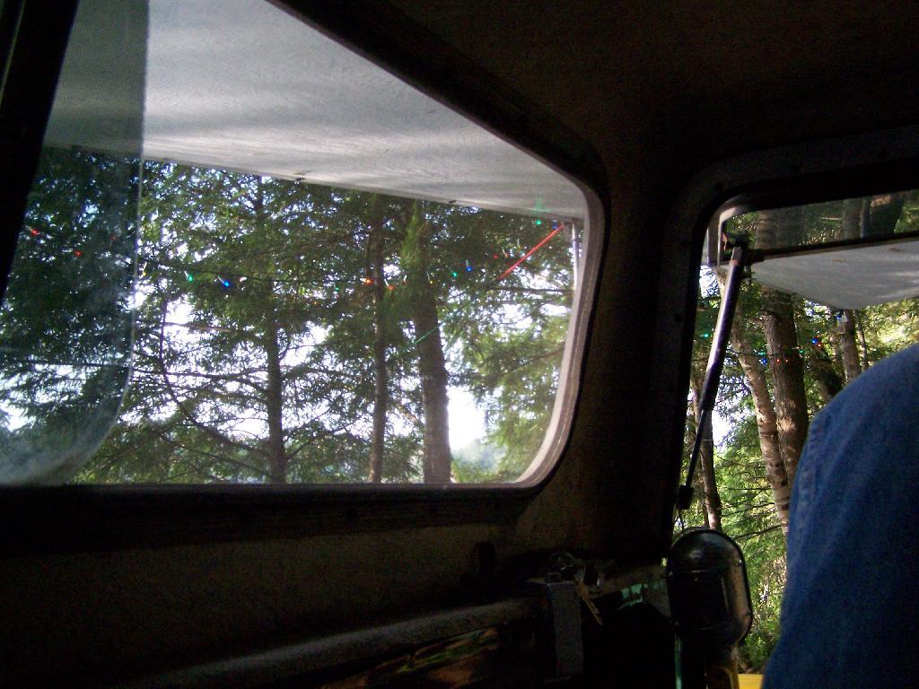
First Rays of Sunshine. I purposefully picked this campsite, and parked my truck so that the first rays of the sun, would come through the truck cap, and wake me up around the crack of down (around 6:35 AM this time of year).
Getting Out and Stretch. That’s my rig with all the messy camping gear and sleeping stuff around, as I first awake in the morning.
Sunshine. Sparkling on the pond, first thing in the morning. Real purty.
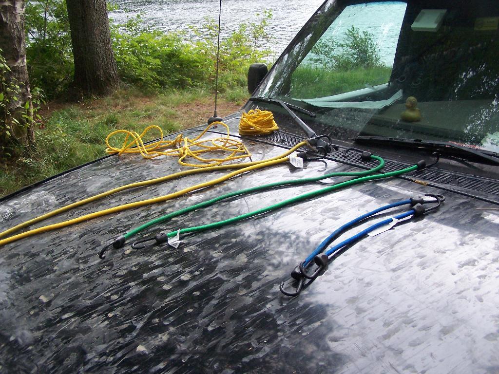
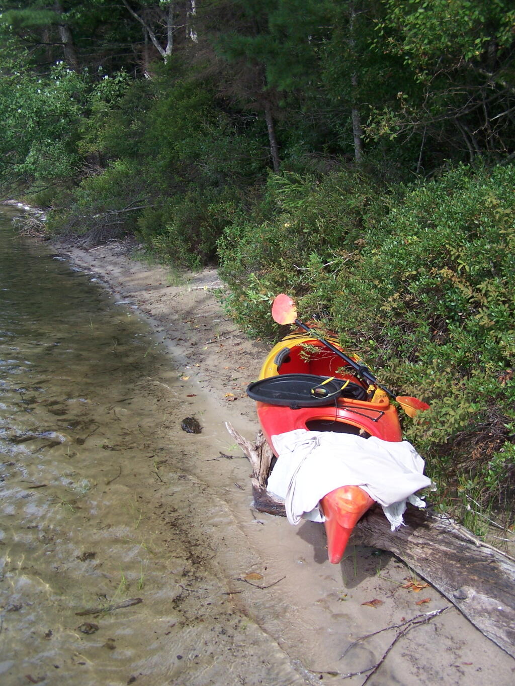
Ropes. These are the ropes and bungee cords I use to secure the kayak on the roof. Seems to work well on the kayak blocks.
Gear All Packed Up. Now just to get the kayak up on the roof.
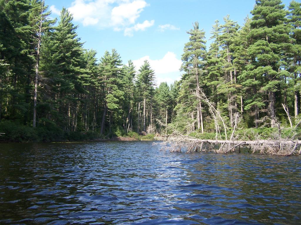
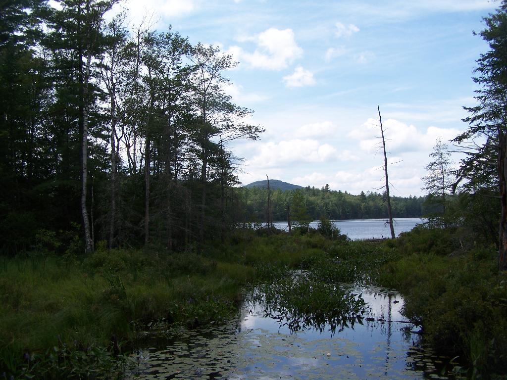
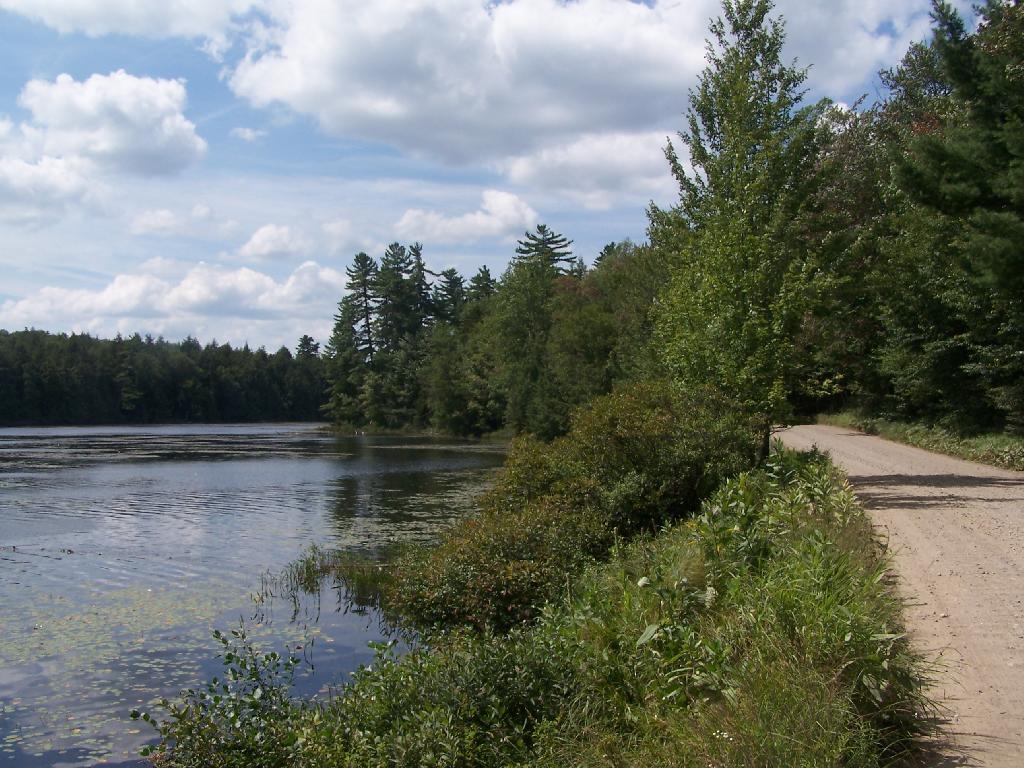
Fish Creek Ponds is a series of largely connected ponds in Northern Adirondacks, North of Tupper Lake. On Floodwood Road, there are series of 15 free drive in campsites one can camp at, with about half of them located on various lakes along Floodwood Road. On Friday night, August 13, I camped out at Poliwog Pond, and then paddled around it a bit in the evening, and then again in the morning. I also drove out around Floodwood Road, to look at the ponds and other campsites along it.
Camping Only At Designated Sites. This sign is found along the beginning of Floodwood Road, prior to the blacktop running out. There are 15 sites, that appear not to be fully used, on this lake.
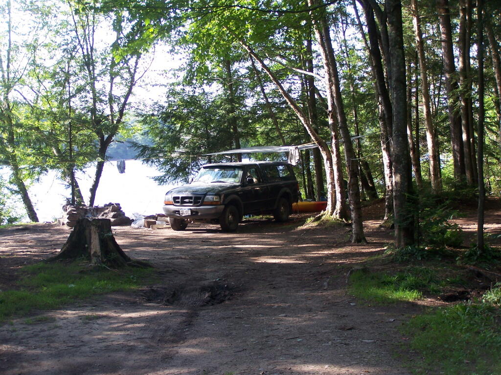
Campsite on Polliwog Pond that I stayed at on August 13th. This site would be truly the most perfect in the world, except for being so close to another one and the fact that the beach area next to the site was kind of swampy and not nice.
Under the Tarp. While when I was up at Poliwog Pond I didn’t really need the tarp, I set up a tarp. It was a beautiful day out for sure down here, right on the pond. The tarp was easy to set up, with the plentiful trees to make it easy to tie up.
Laying Back in Truck Cap. Ah, mornings. Lazy times. But then again, I got to paddle around the lake, get some pictures, pack up and head north. So be it.
Private Bay for Swimming. Once I started to get ready, I put on my swimming trunks, paddled across the lake, around an peninsula, to a very private bay. I took a “bath” using the teapot, soap, and shampoo on the bank, washed the soap off, then went swimming in my own little private beach. Nobody else was around! It was wonderful.
Perfect Area for Swimming. The downed tree blocked the waves, it was sandy beach. I really liked this area a lot.
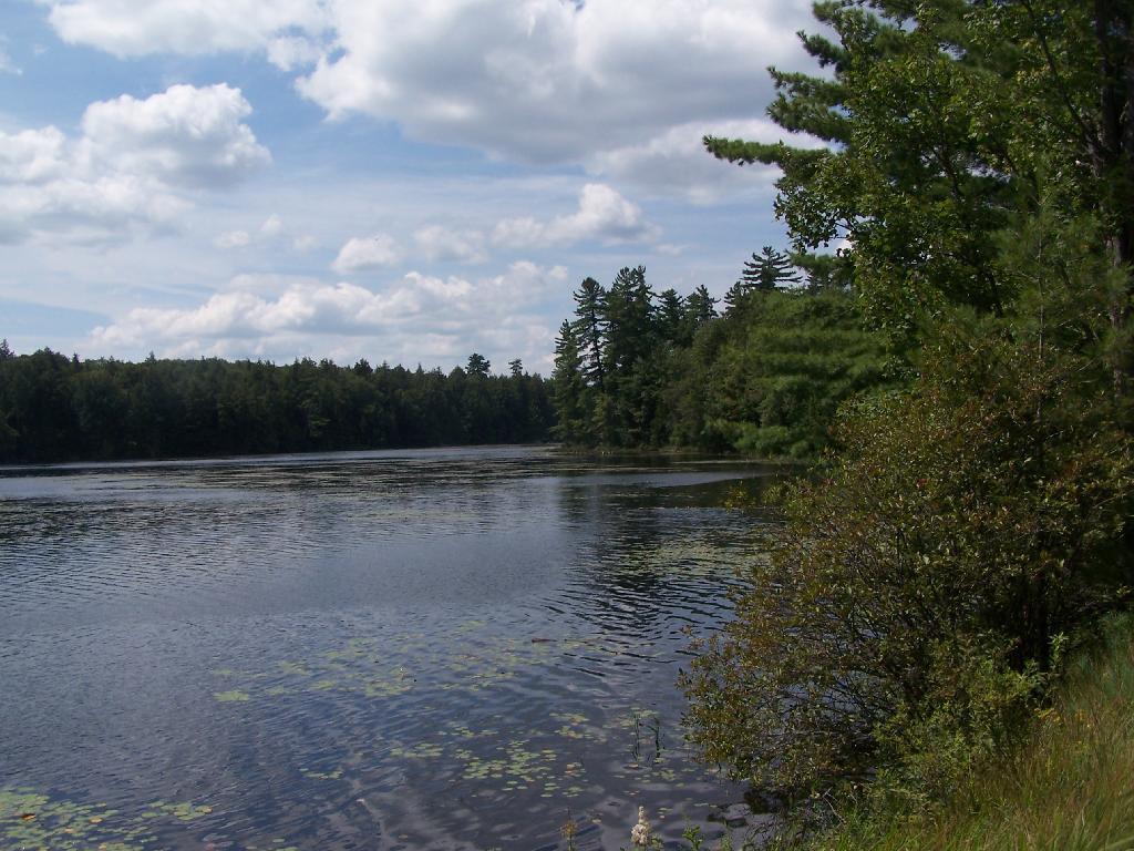
Across Poliwog Pond. It’s a remarkably hazy summer day. This is from the south bay of the pond, where I was swimming and getting cleaned up in the morning.
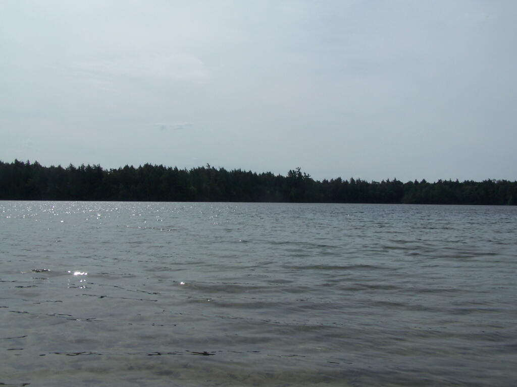
Loon. Throughout the night at Poliwog Pond, there was loon calling back and forth. This is located on the western bay of Poliwog Pond.
Western Bay of Poliwog Pond. There was somebody camping up on the banks, but other then that it was relatively quiet.
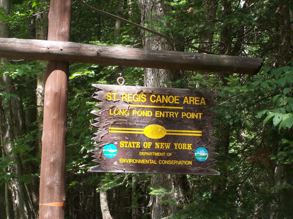
Long Pond Entrance. While I didn’t get a chance to haul my kayak into Long Pond, and do some paddling around there, this is the access point fo the Saint Regis Canoe area. It looked very popular.
Swamp Across from East Pond. This was located directly across East Pond on Floodwood Road.
East Pond. On Floodwood Road. Looked quite pretty. There is one drive-in campsite in here, along with an accessible boat dock.
Middle Pond. On Floodwood Pond road. There also is a large drive-in campsite on Middle Pond.
Floodwood Road. There are 15 drive in campsites on this very dusty dirt road, that is heavily traveled, mostly by people heading to the Boy Scout Camp and the Saint Regis Canoe Area. This along Middle Pond.
Floodwood Road at Franklin County. This is where you cross from being in very remote Town of Altamont to Santa Clara. Pretty area for sure.
Here is a map of Floodwood Road, Polliwog Pond, and surrounding ponds.