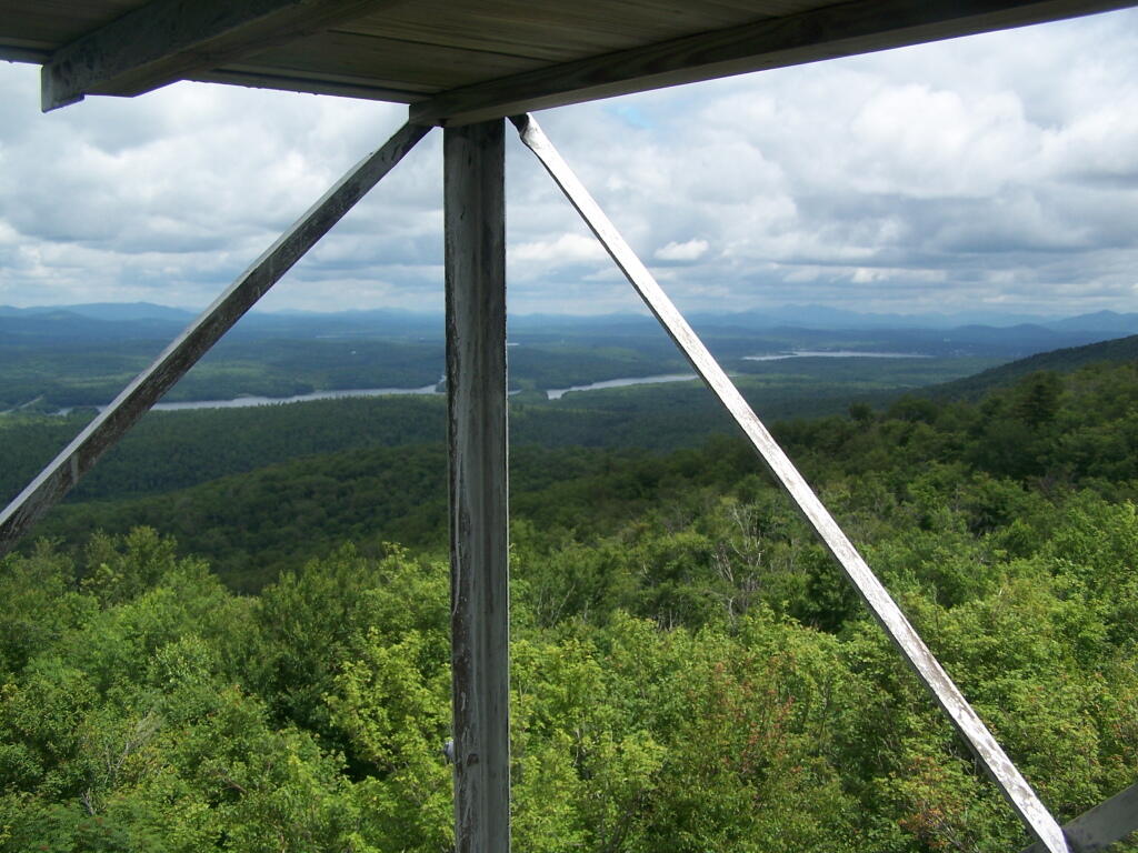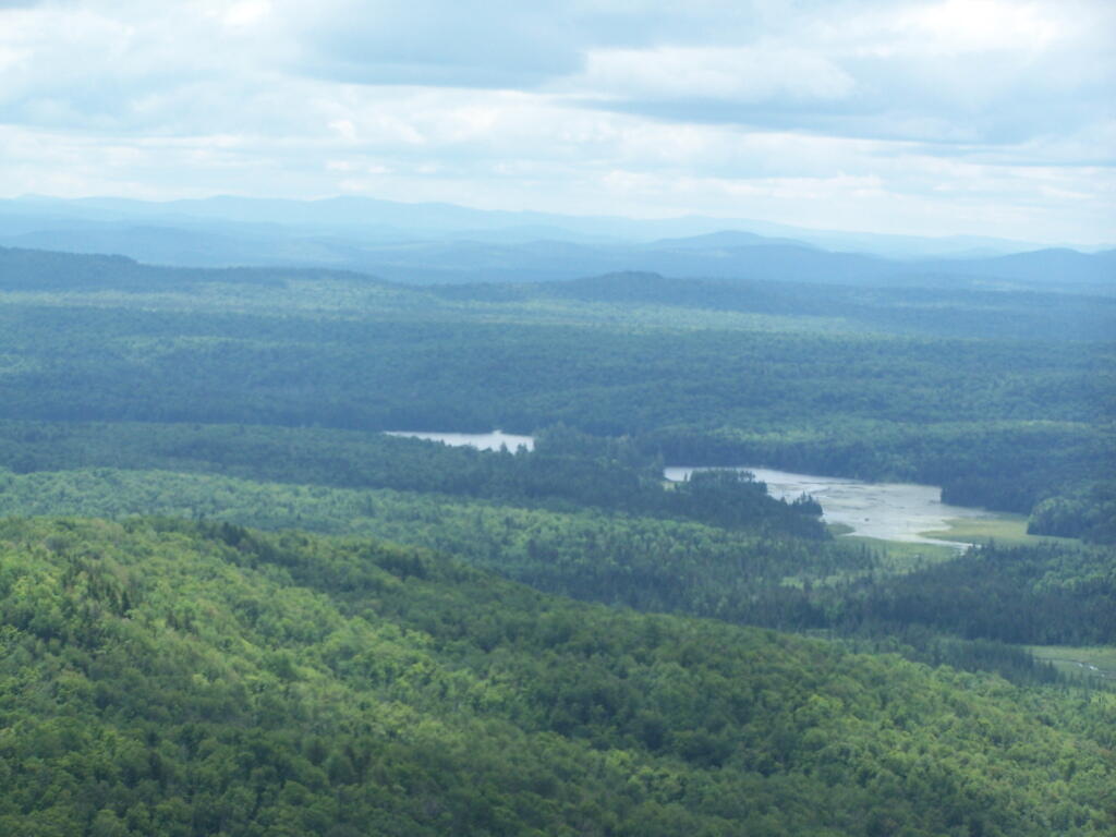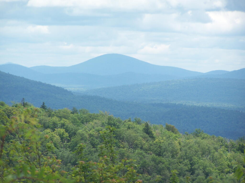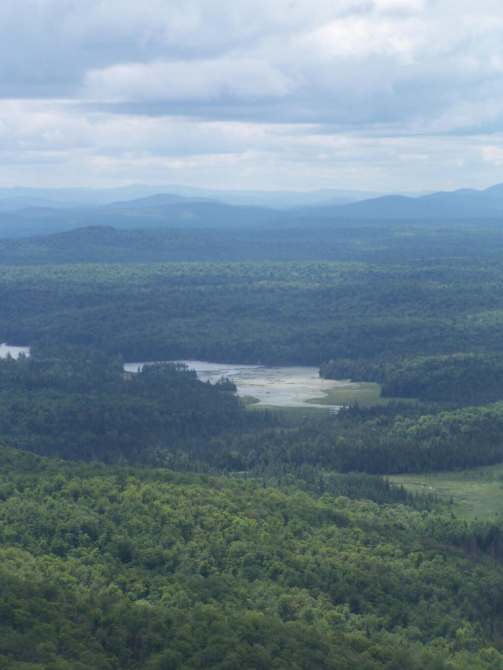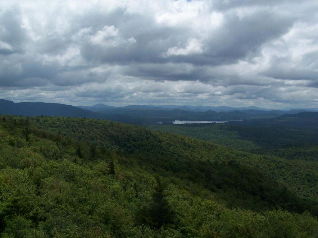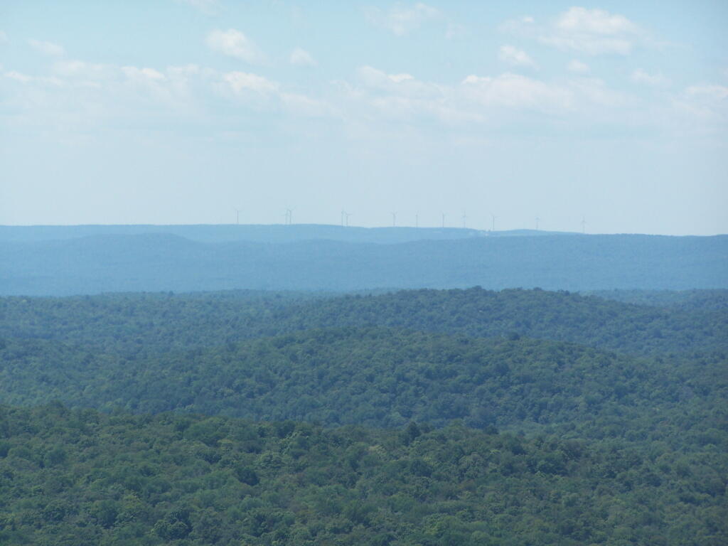
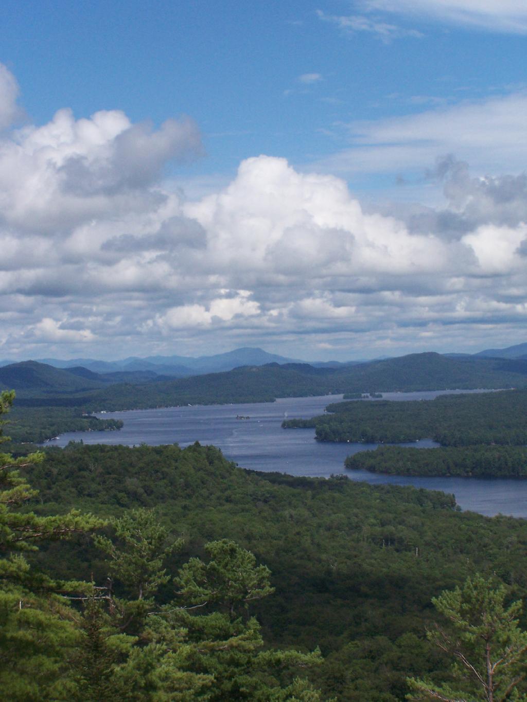
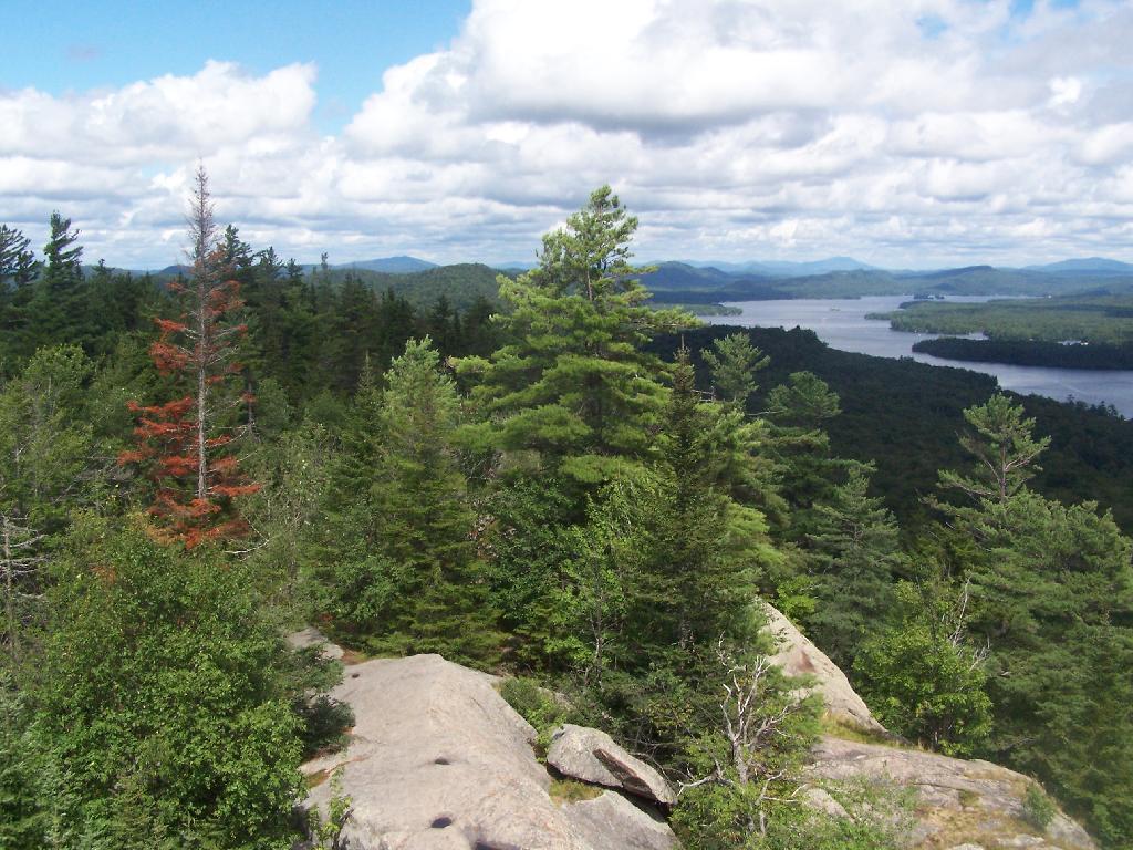
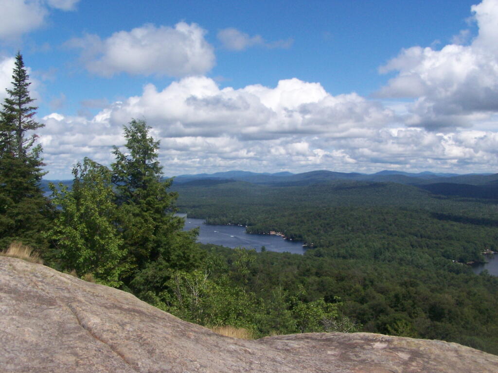
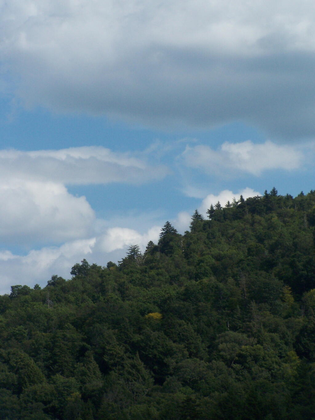
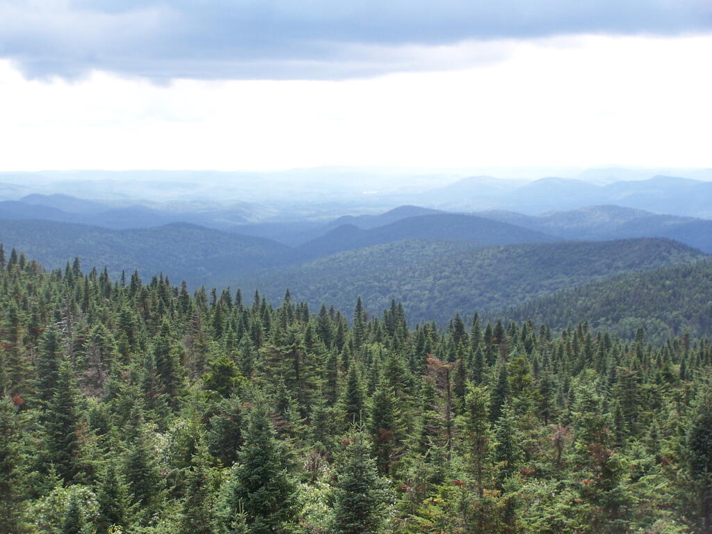
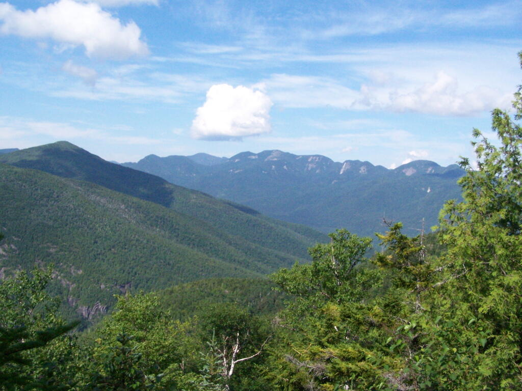
Wind Farm on Ridge Above Little Falls
You can just make it out in the distance, beyond the lands of Ferris Lake Wild Forest.
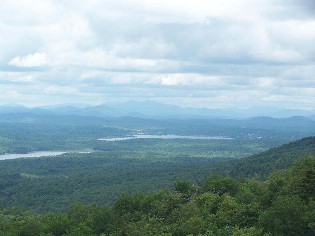
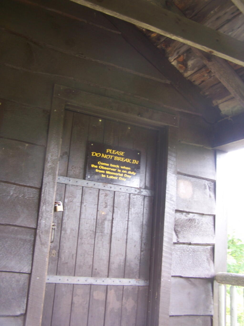
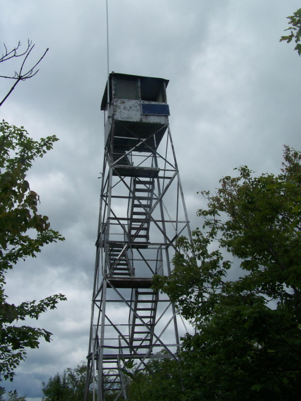
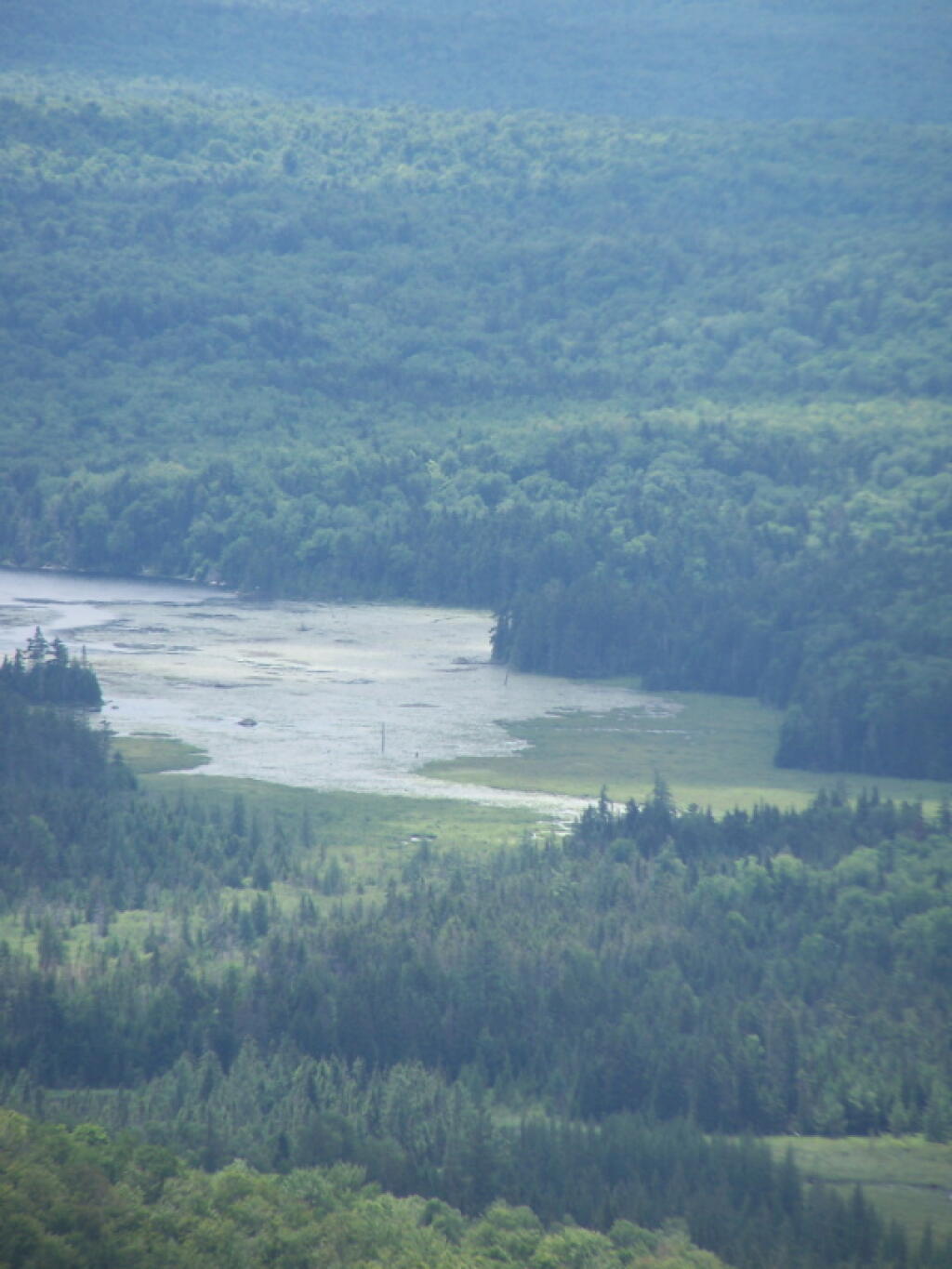
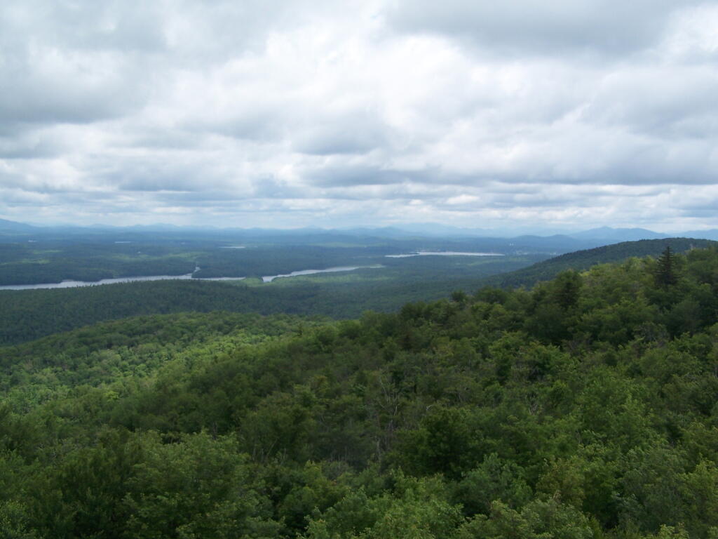
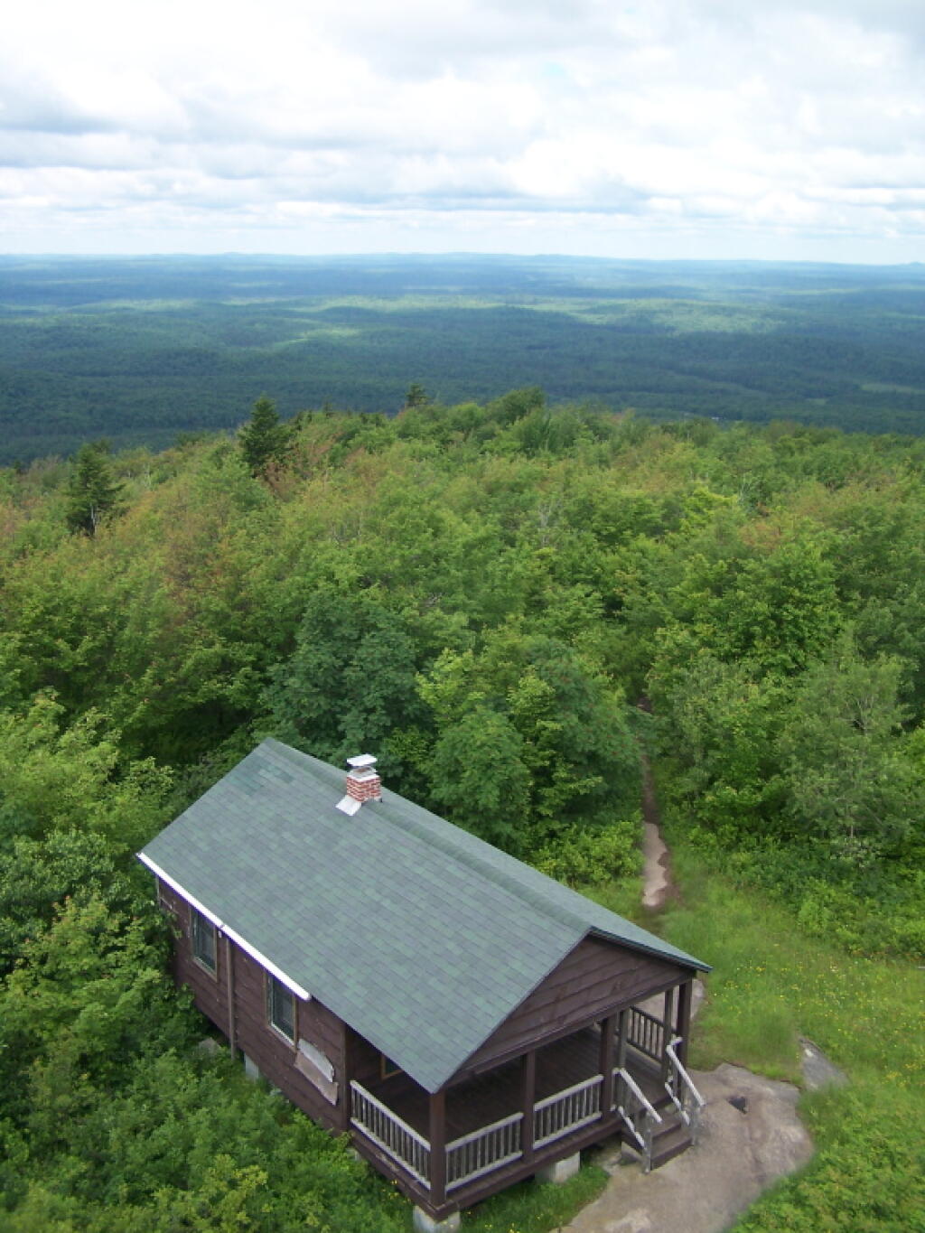
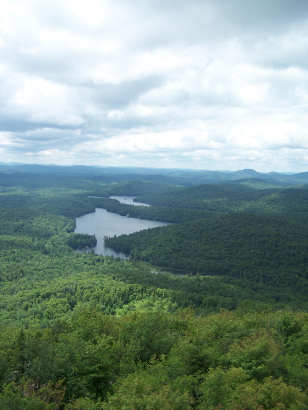
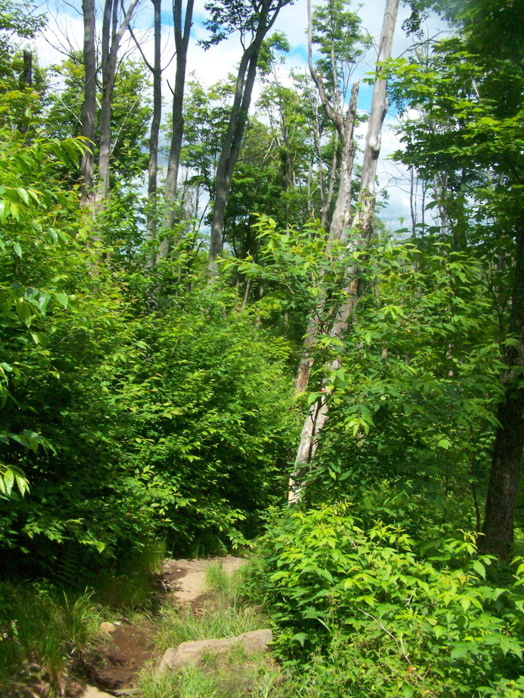
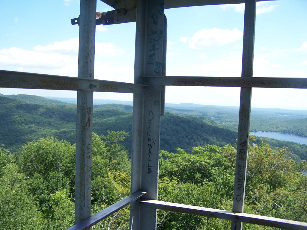
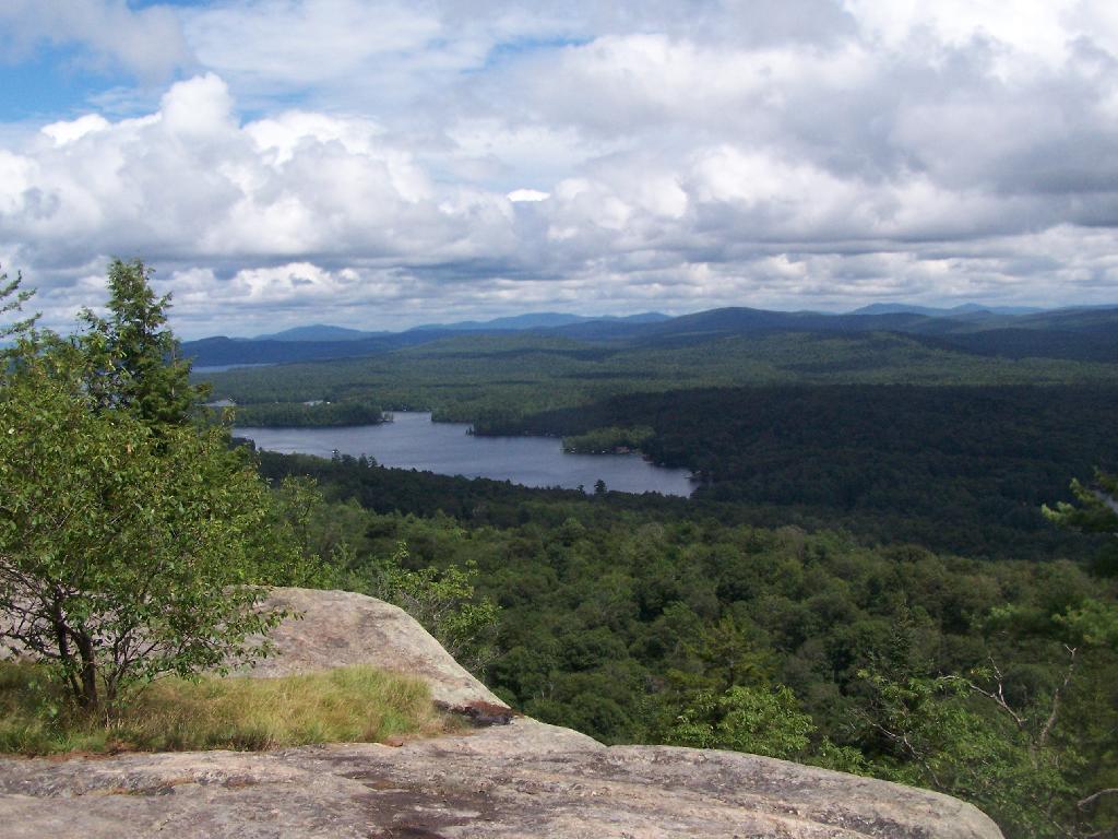
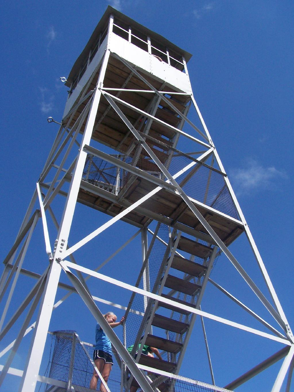
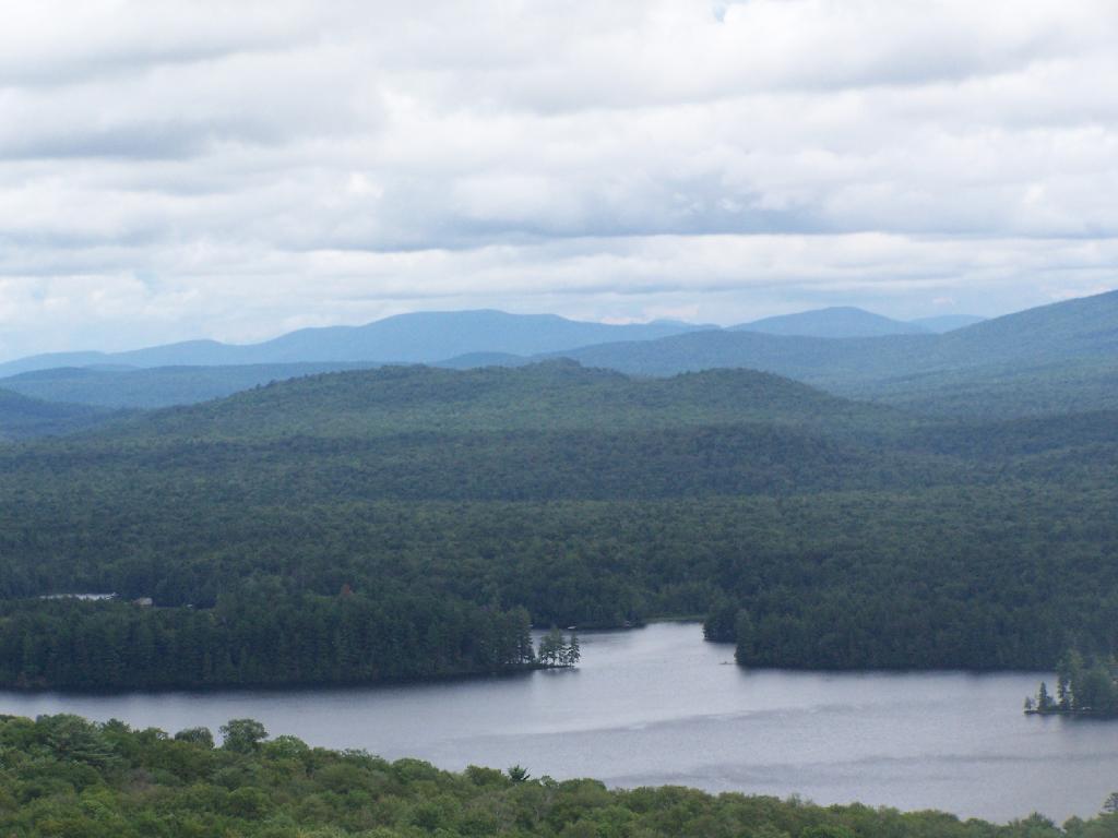
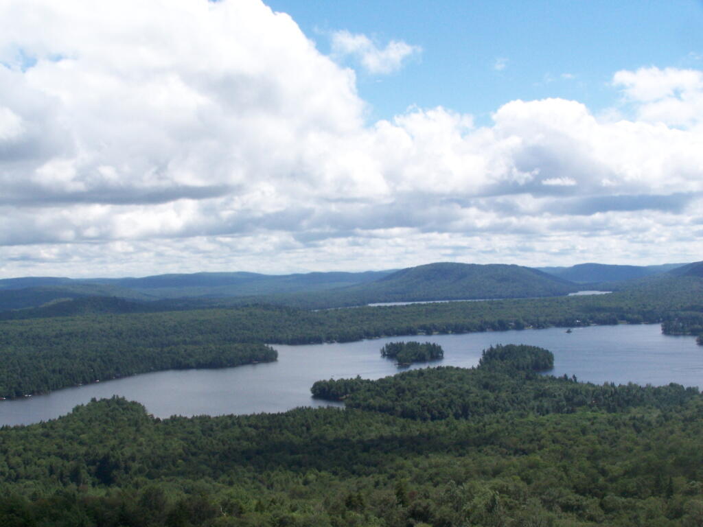
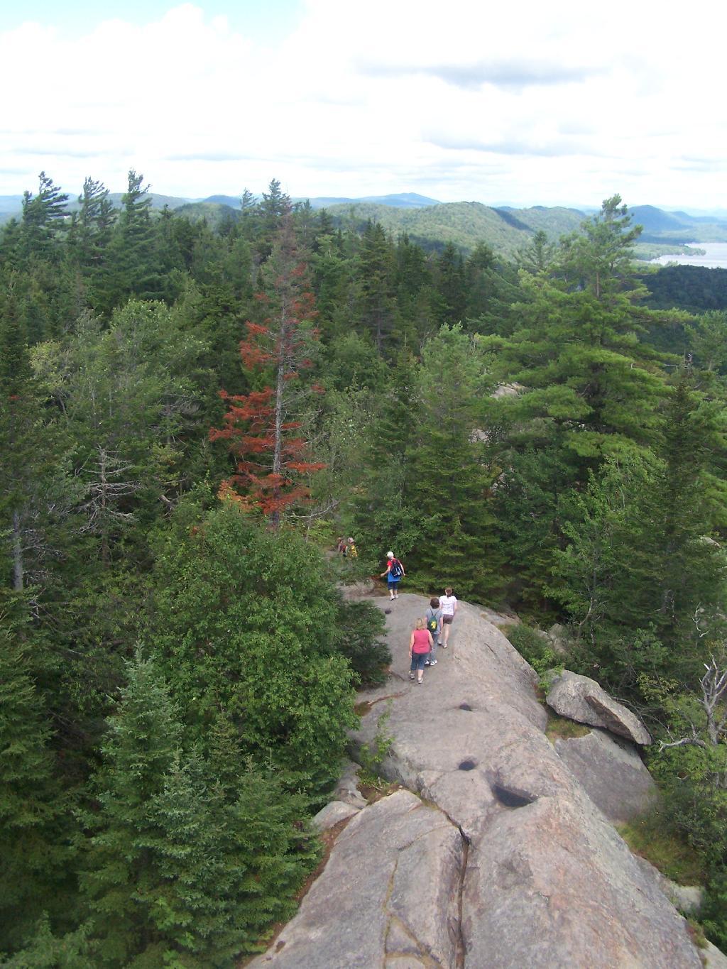
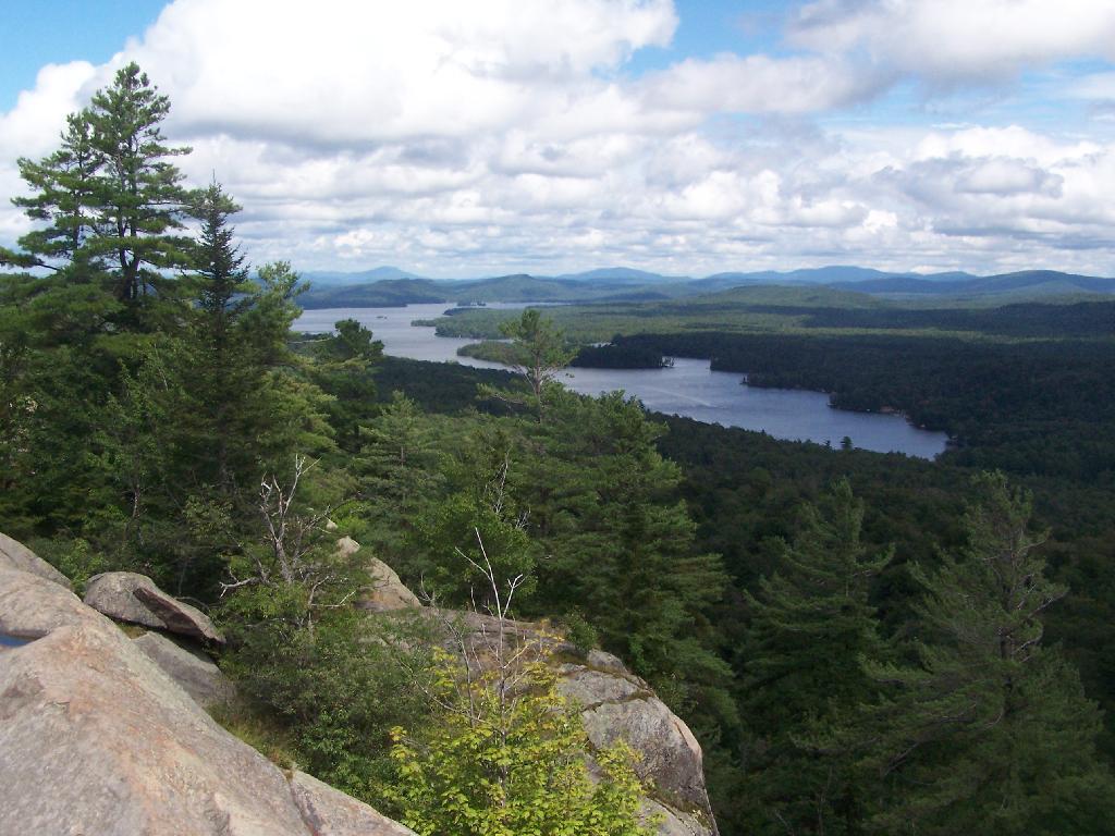
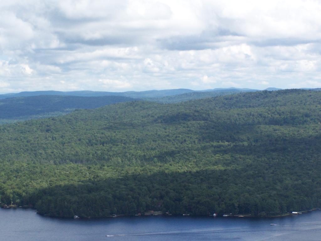
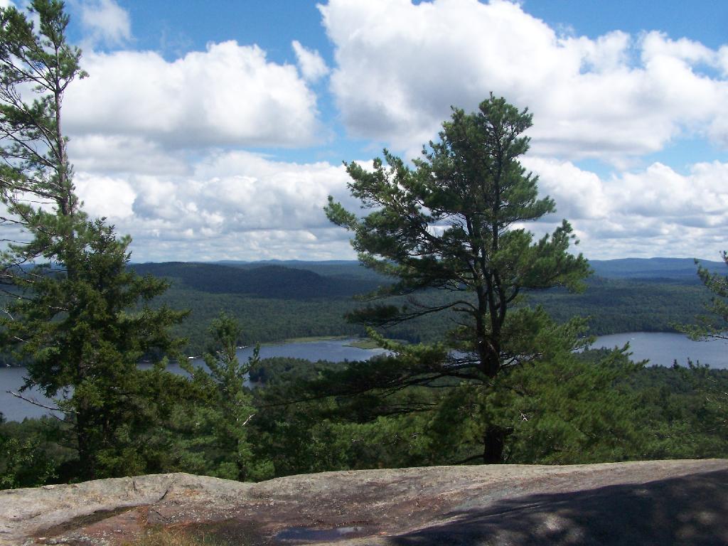
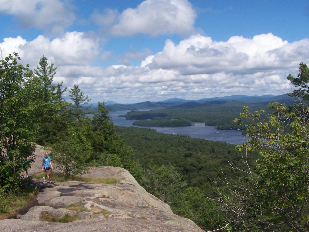
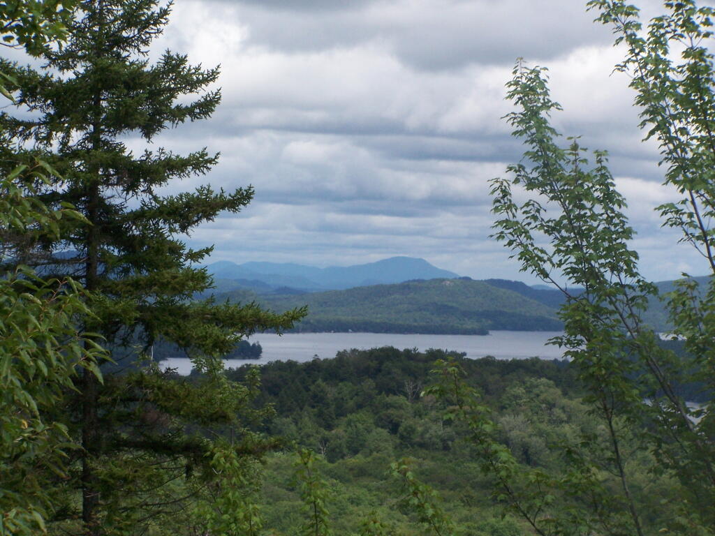
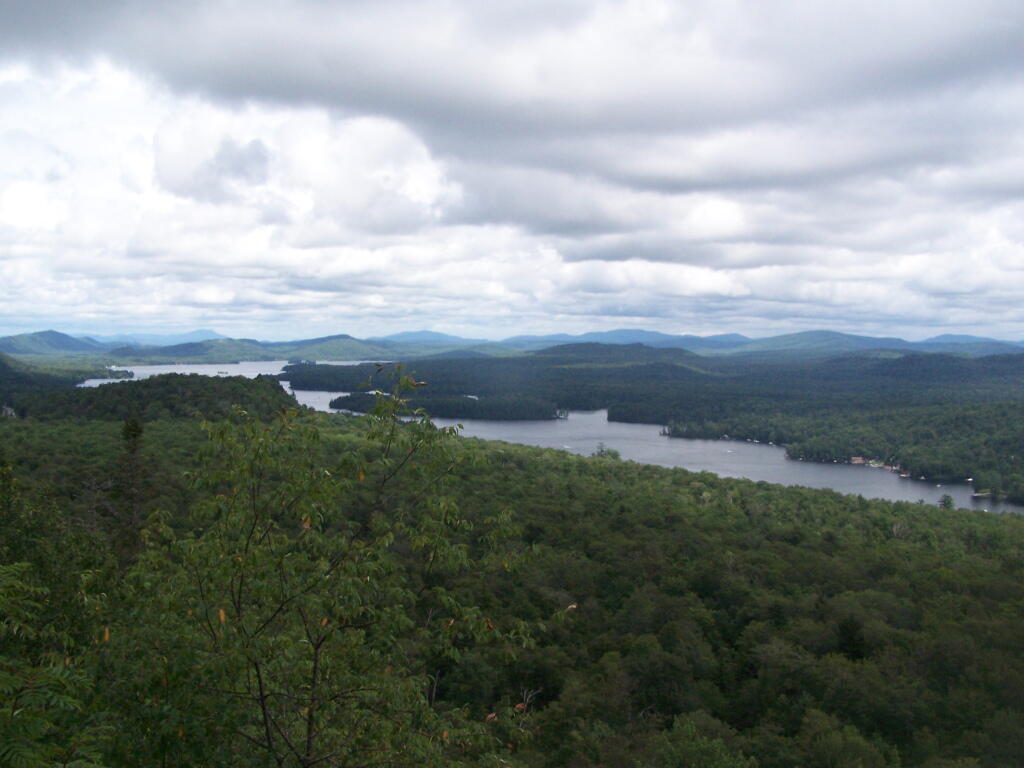
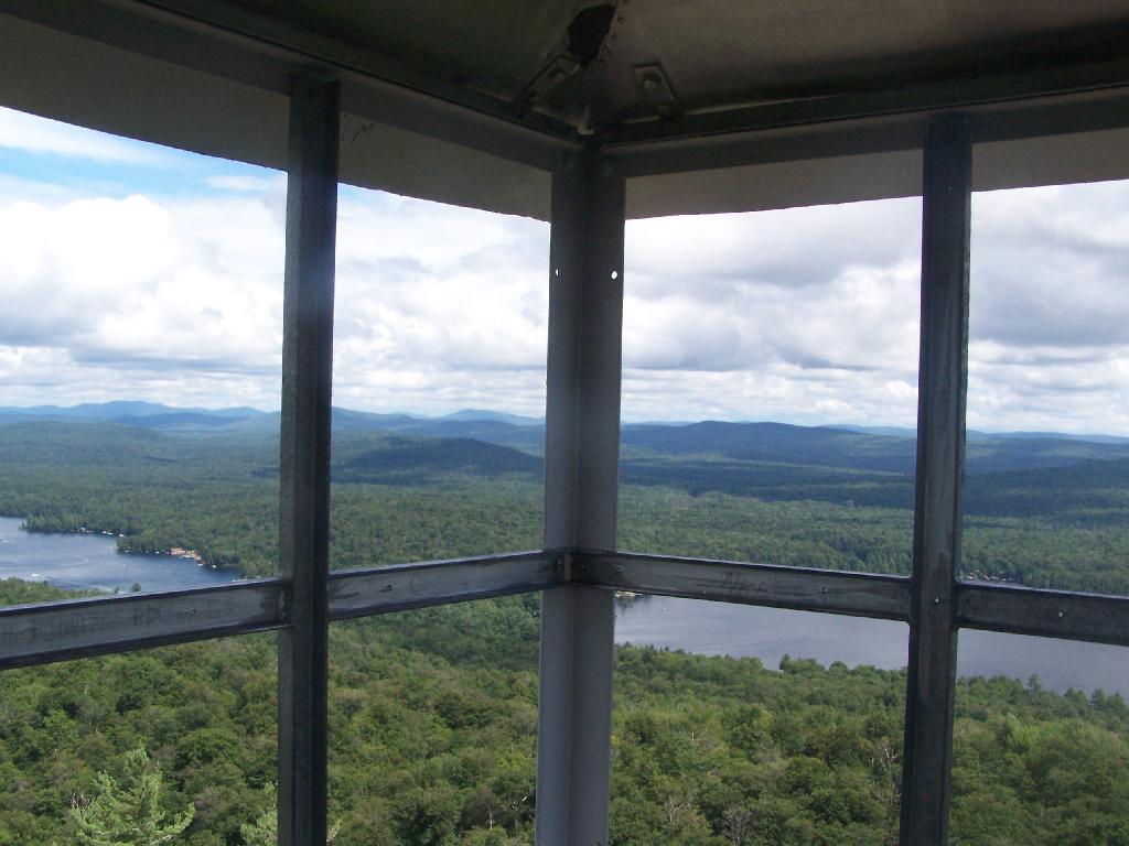
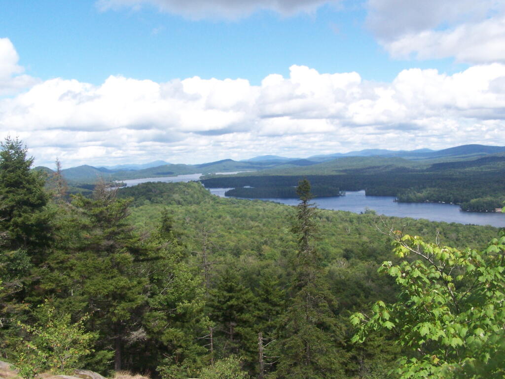
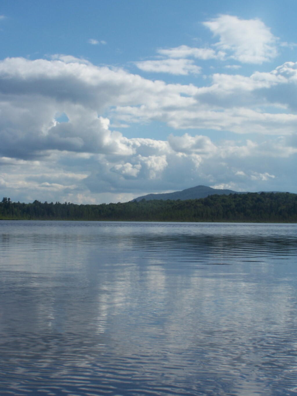
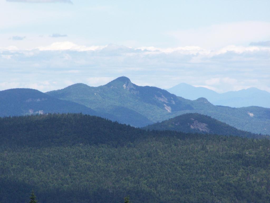
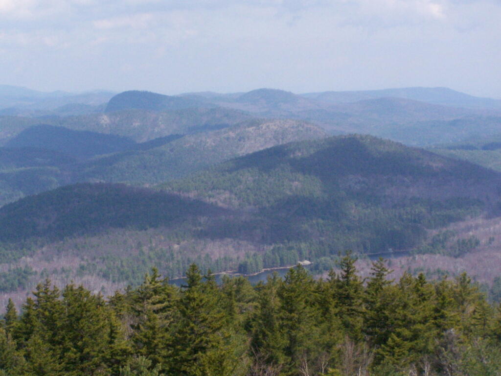
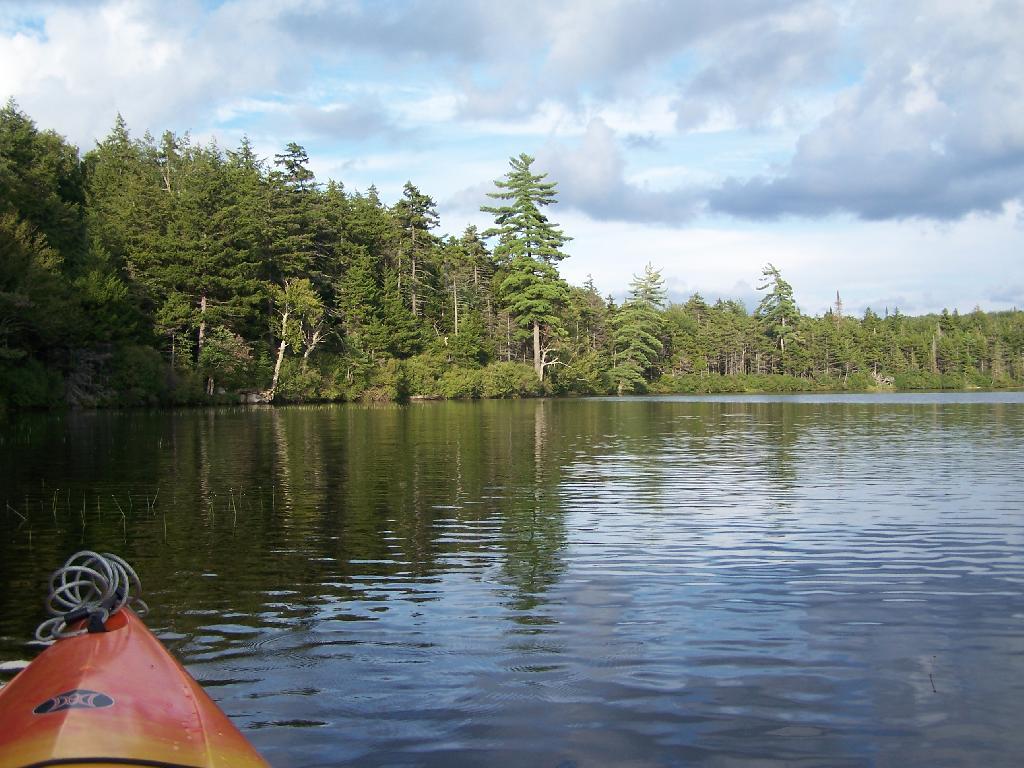
Saturday July 23, 2011 — Kane Mountain Fire Tower
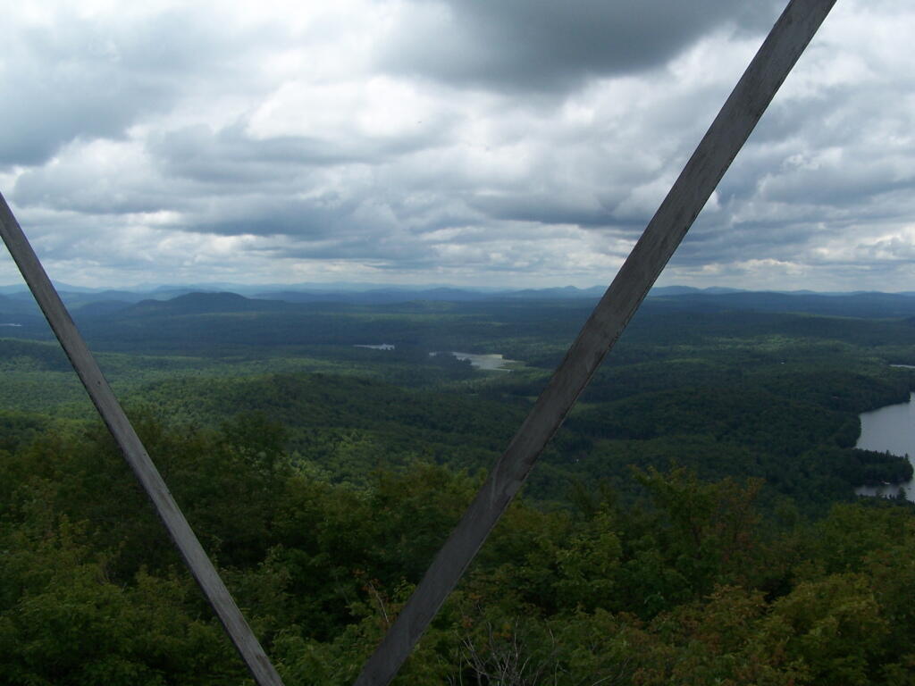
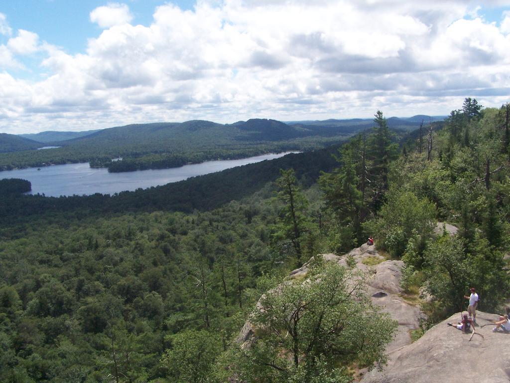
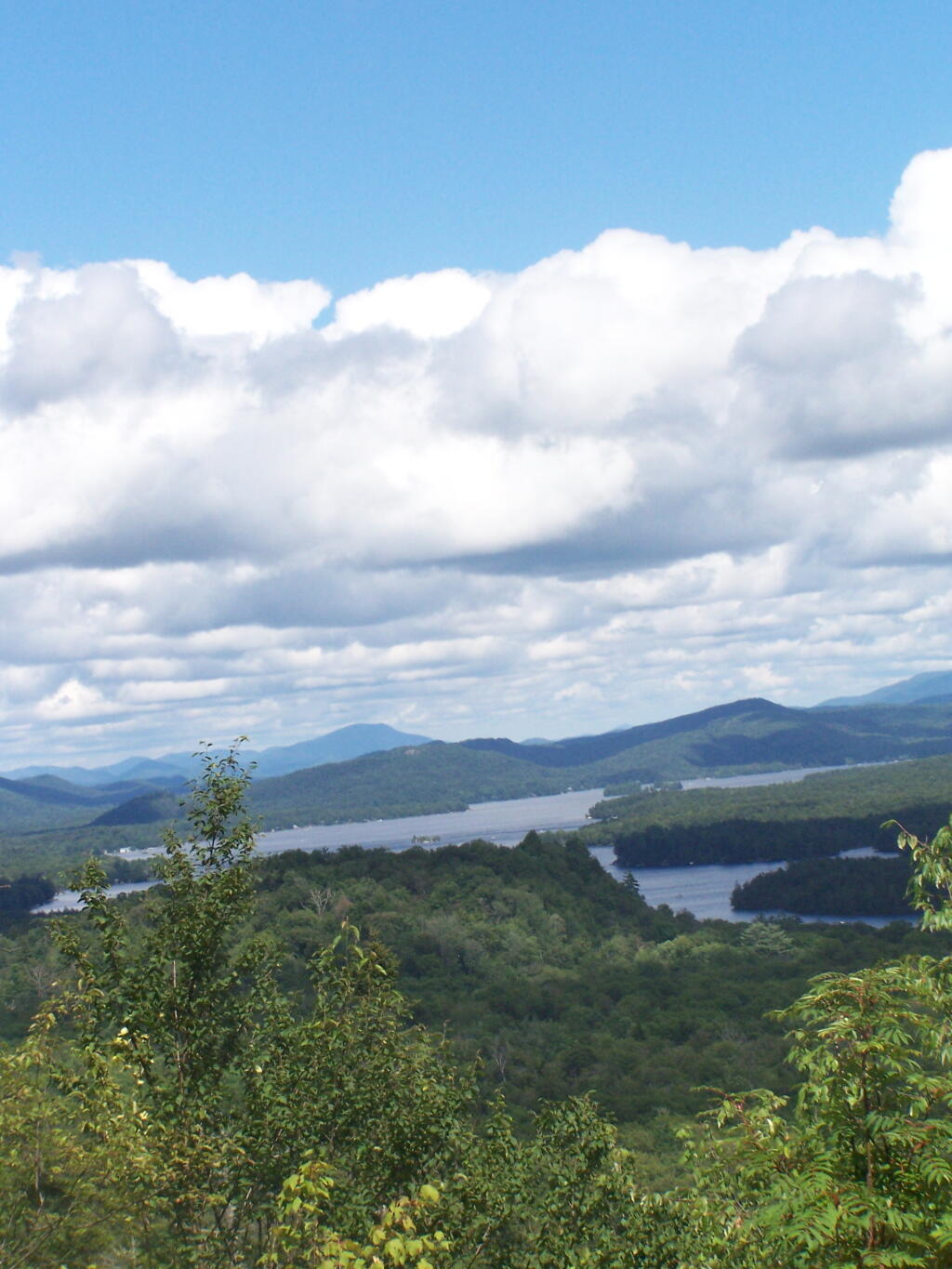
You can just make it out in the distance, beyond the lands of Ferris Lake Wild Forest.
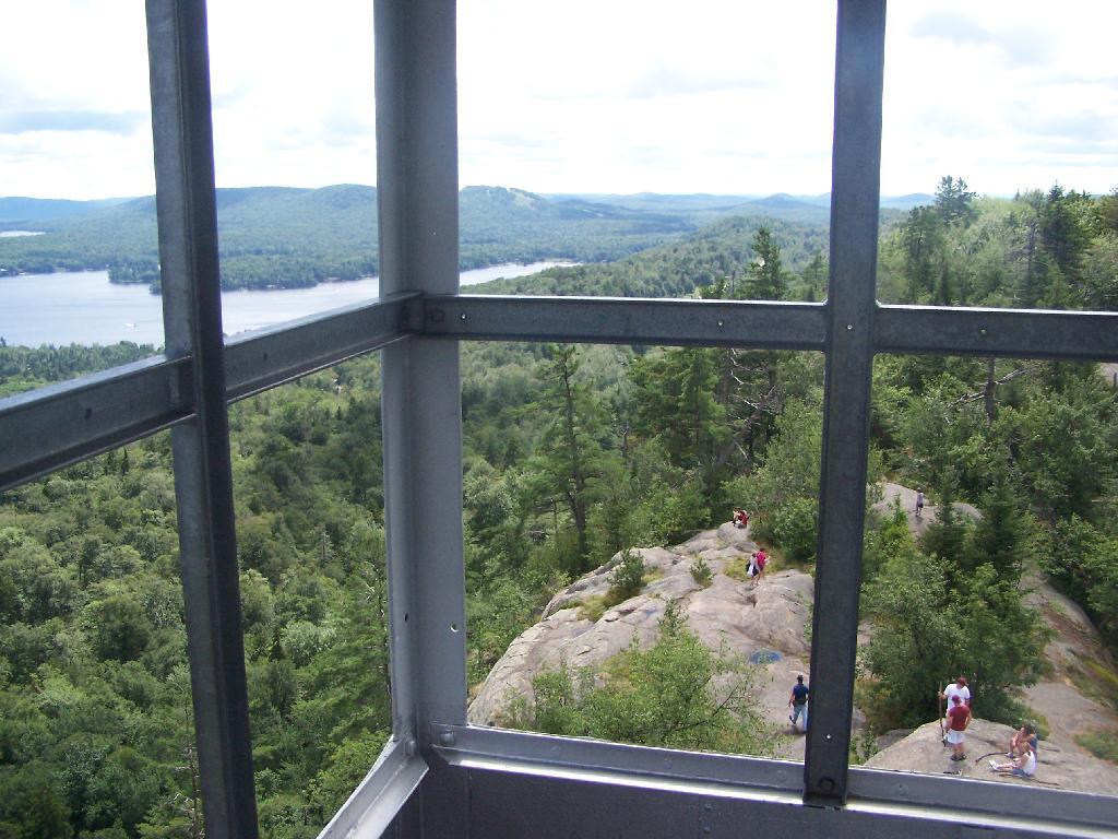
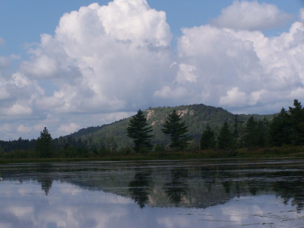
Saturday July 23, 2011 — Kane Mountain Fire Tower

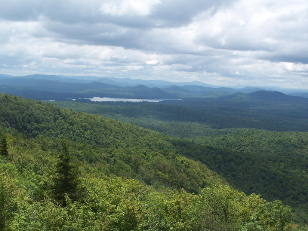
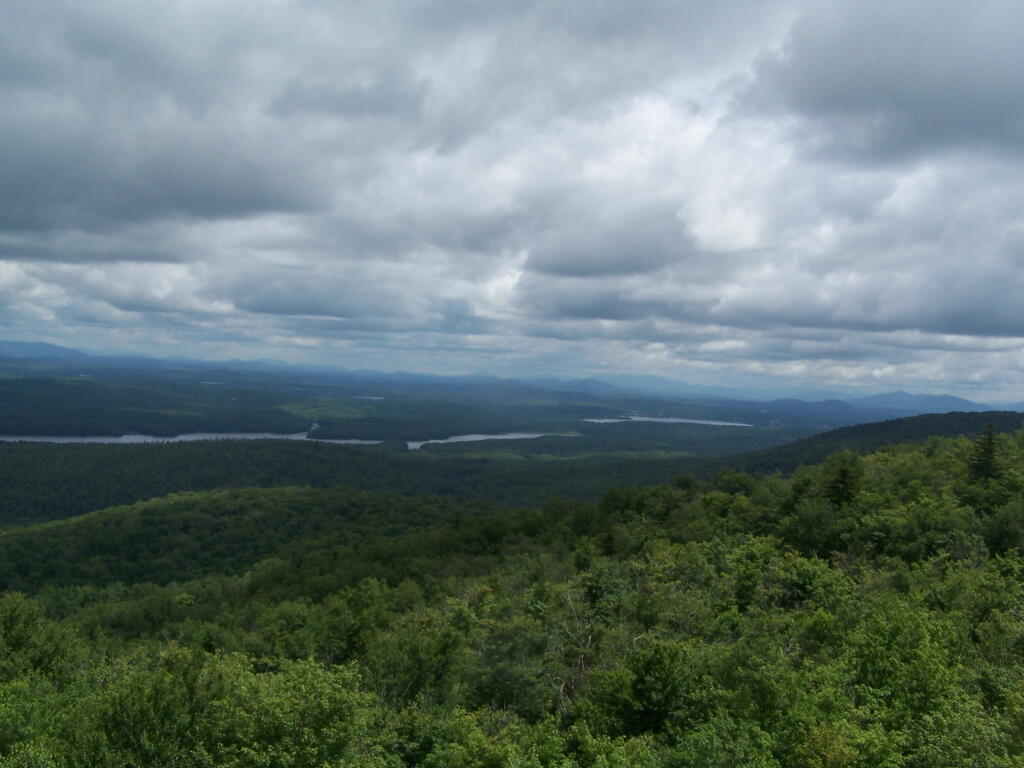
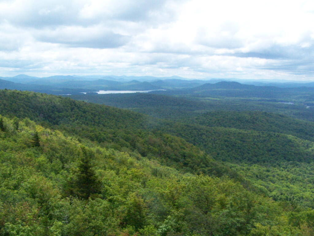
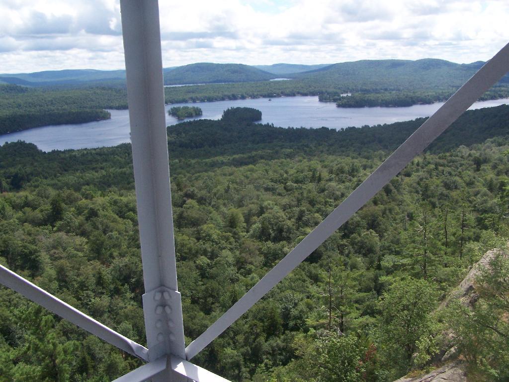
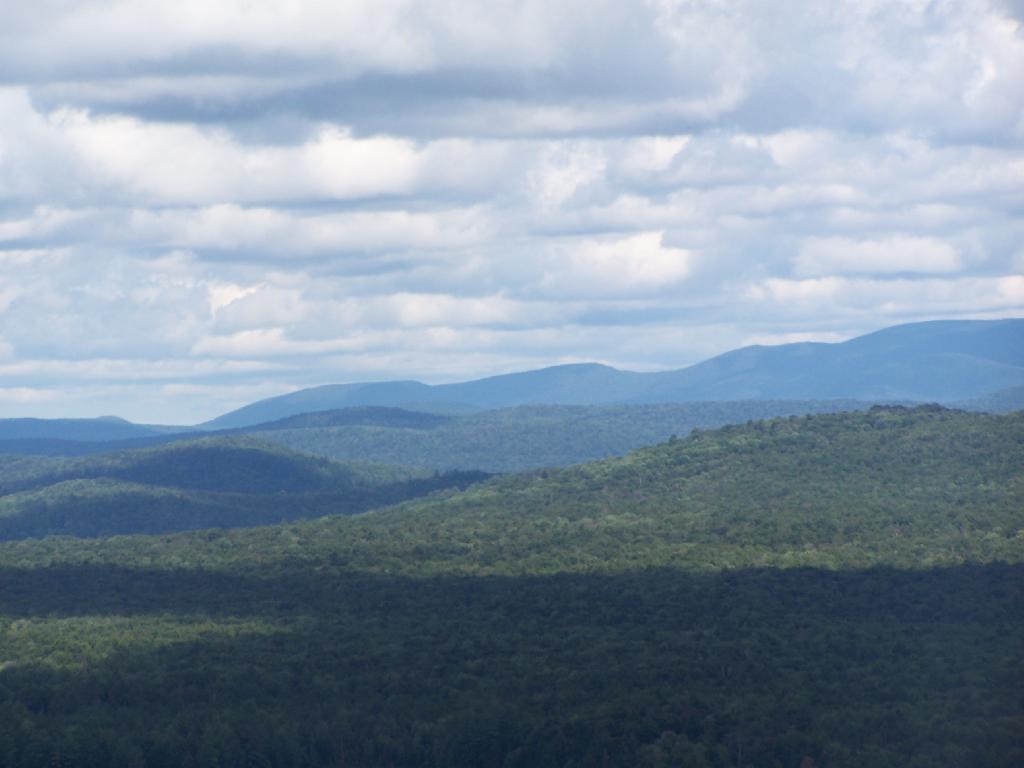
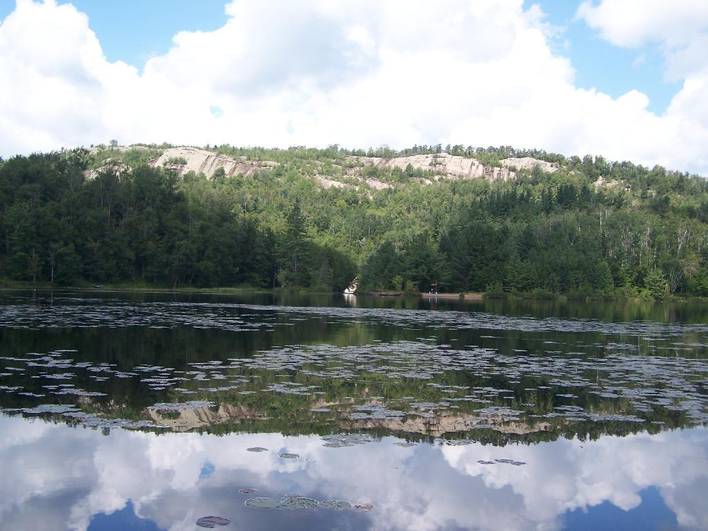
Views over the trees ... you don't see much until you climb the tower this time of year.
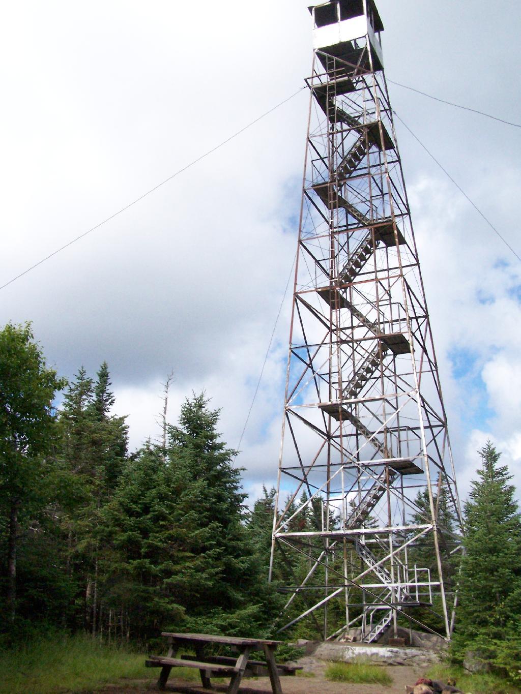
Saturday July 23, 2011 — Kane Mountain Fire Tower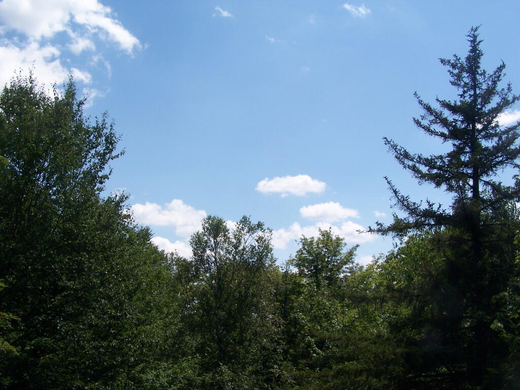
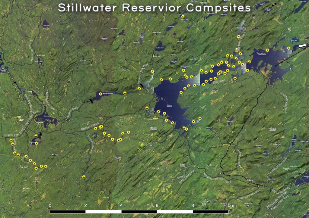
Click below to download or print this map up.
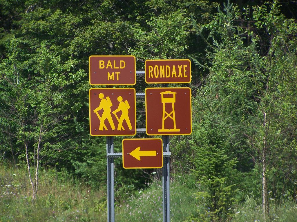
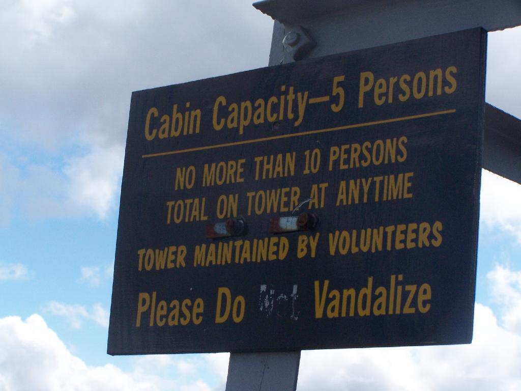
Most of the mountains and pull offs in the Adirondacks are very well signed, complete with brown and yellow DOT reflective signage.
![Untitled [Expires July 27 2024]](https://andyarthur.org//data/photo_005018_large.jpg)


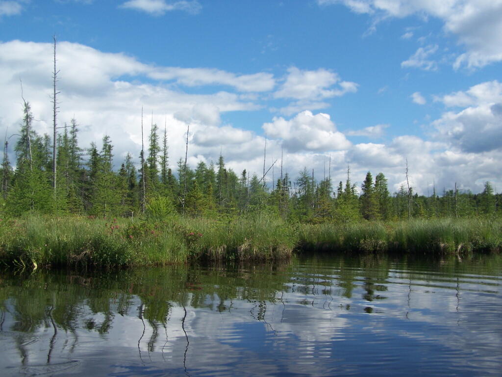
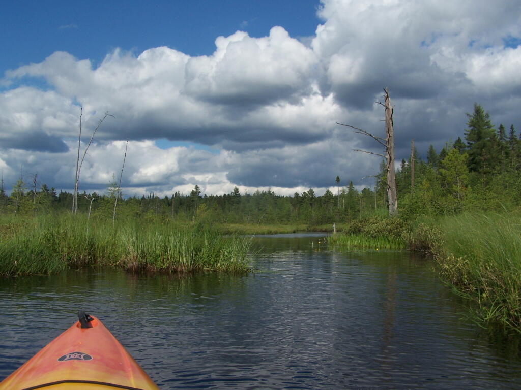
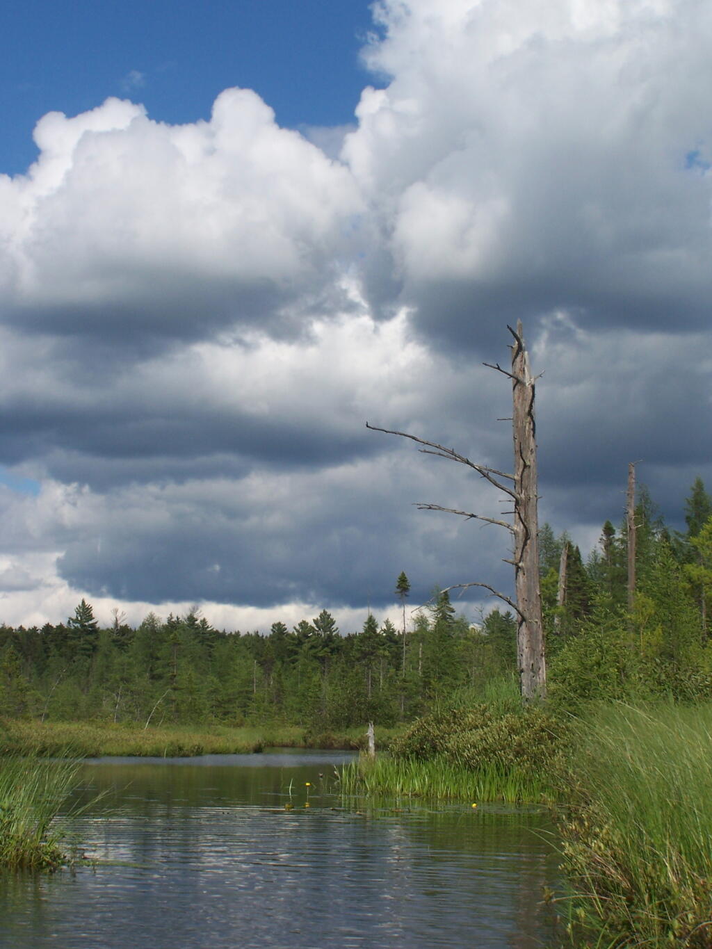
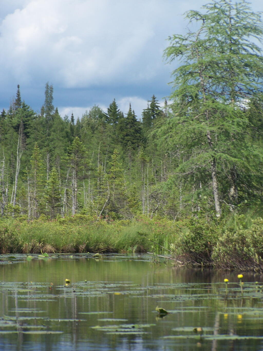
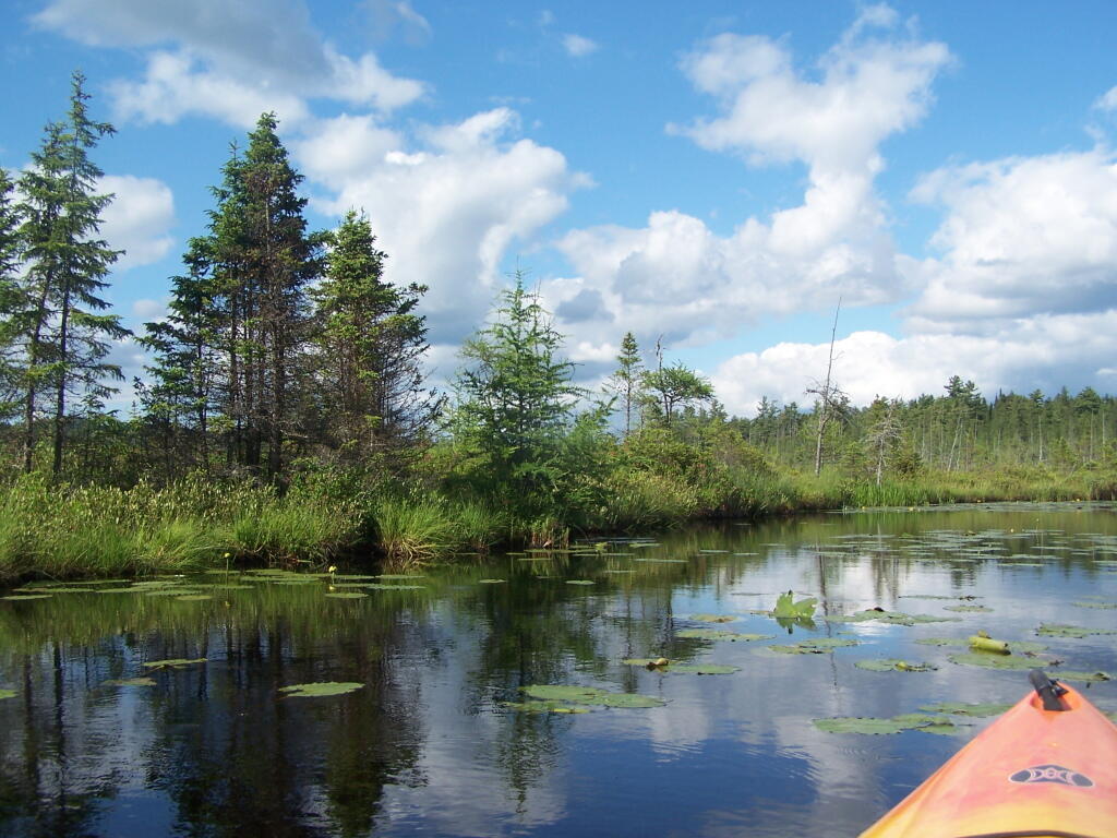
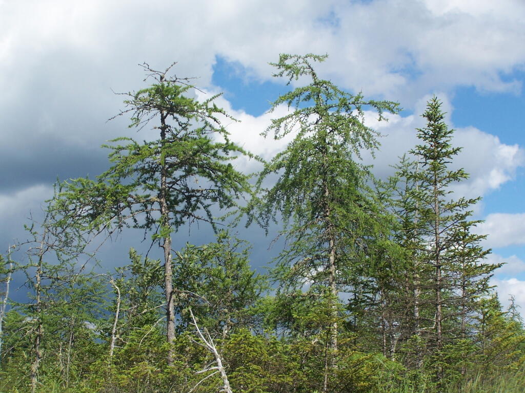
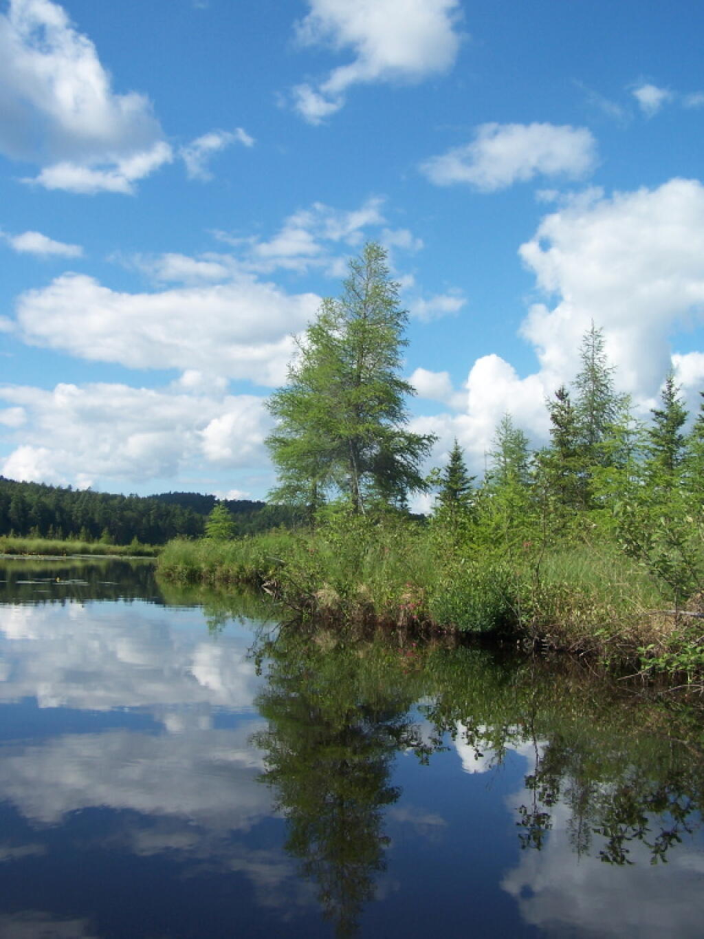
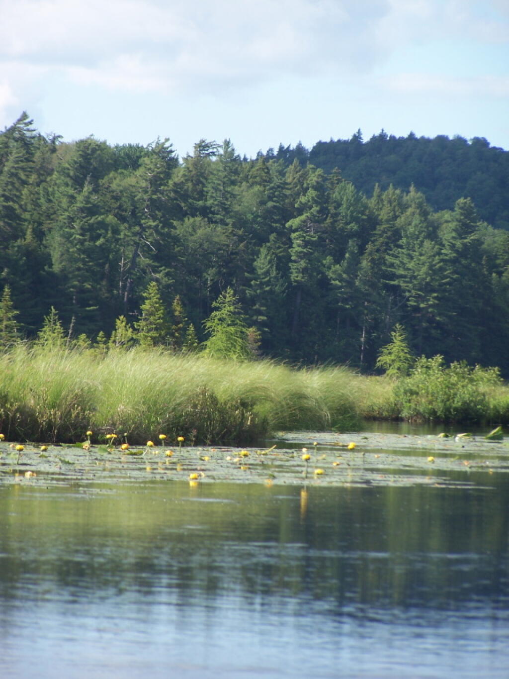
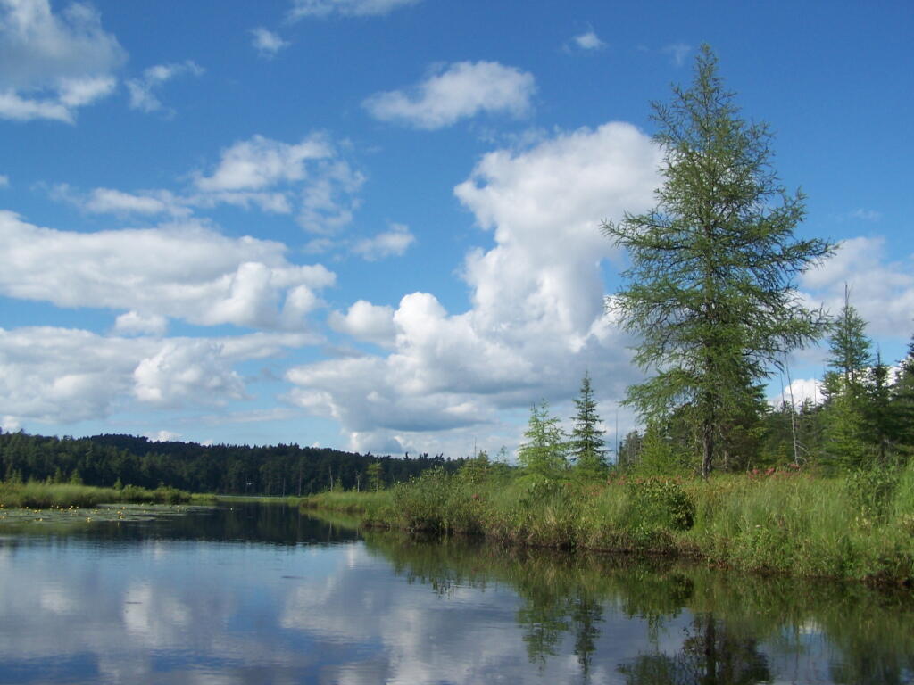
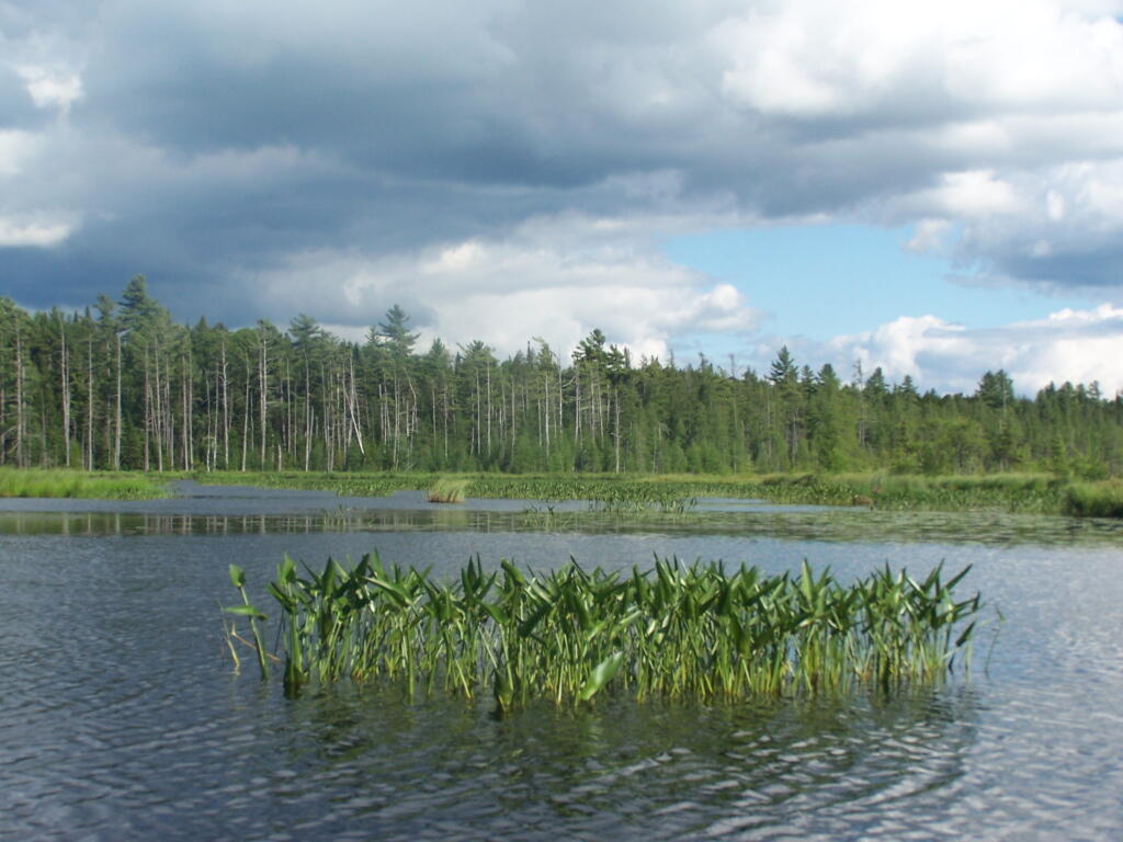
Barnum Pond, right behind the Adirondack Vistors Intreprative Center, offers some great views, and can be accessed for free from NY 30, one mile north of VIC and one mile south of Mountain Pond Camping Area. Click on the map below, to display a full-size version, perfect for printing and slapping in a plastic bag, to strap on your kayak.
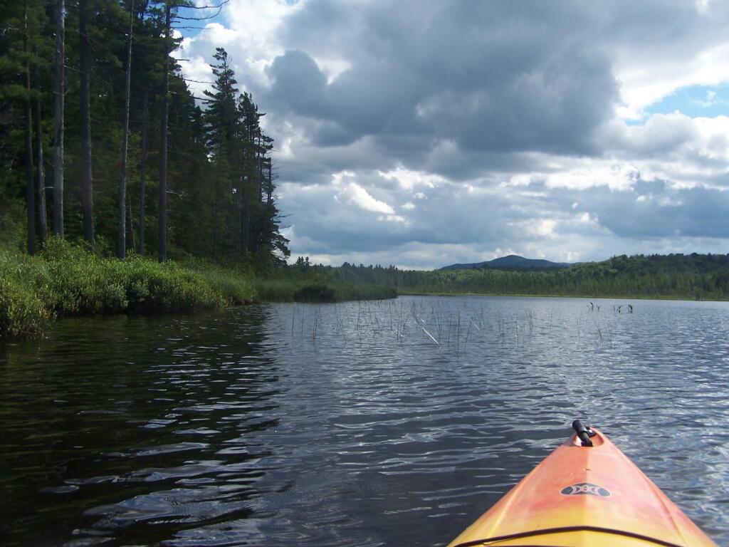
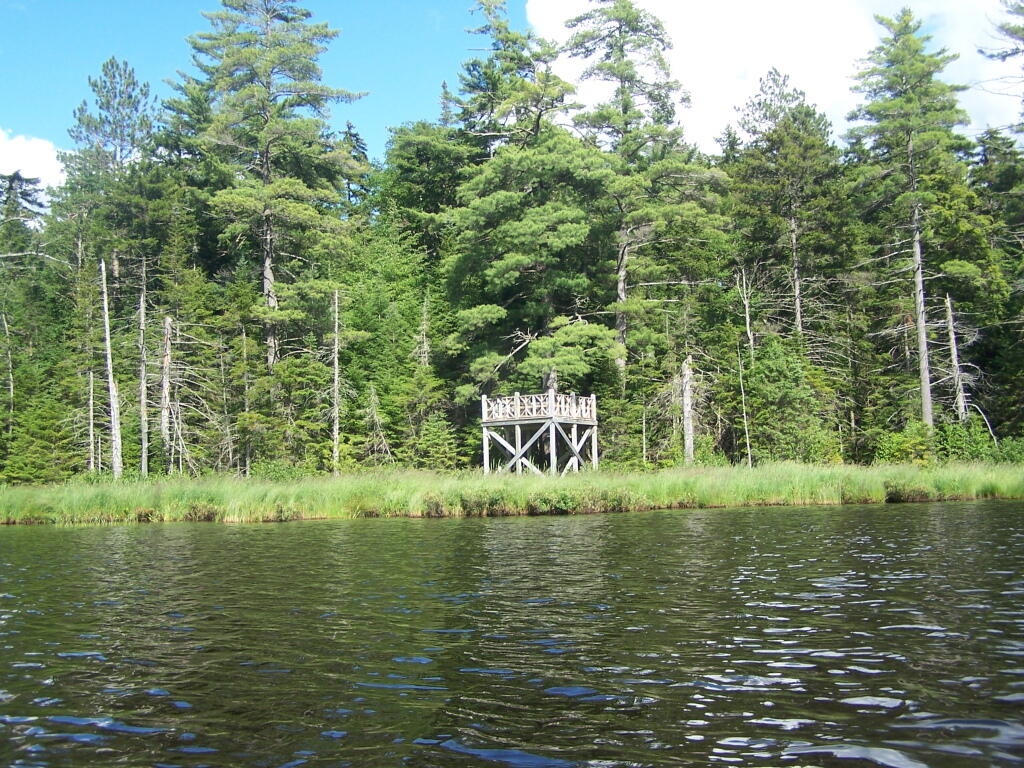
Here are some pictures I took while was paddling around this lake, proceeding from NY 30, along the Southern shore until I got to the Barnum Pond outlet, which you can continue on for about a mile until a beaver dam. You can portage around the beaver dam, if you choose, however a 1/2 mile below that is a series of man-made dams in Paul Smiths you must go around, to get down to Lower St Regis Lake.


If you visit here, consider camping at Mountain Pond.
These definations are from the Adirondack Park State Land Master Plan.
‘ ?>
View Larger Map ‘ ?>
A wild forest area is an area where the resources permit a somewhat higher degree of human use than in wilderness, primitive or canoe areas, while retaining an essentially wild character. A wild forest area is further defined as an area that frequently lacks the sense of remoteness of wilderness, primitive or canoe areas and that permits a wide variety of outdoor recreation.
To the extent that state lands classified as wild forest were given or devised to the state for silvicultural or wildlife management purposes pursuant to statutory provisions specifying that these lands will not form part of the forest preserve (if such provisions are constitutional), the following guidelines are not to be interpreted to prevent silvicultural or wildlife management practices on these lands, provided that other guidelines for wild forest land are respected.
Those areas classified as wild forest are generally less fragile, ecologically, than the wilderness and primitive areas. Because the resources of these areas can withstand more human impact, these areas should accommodate much of the future use of the Adirondack forest preserve. The scenic attributes and the variety of uses to which these areas lend themselves provide a challenge to the recreation planner. Within constitutional constraints, those types of outdoor recreation that afford enjoyment without destroying the wild forest character or natural resource quality should be encouraged.
Many of these areas are under-utilized. For example the crescent of wild forest areas from Lewis County south and east through Old Forge, southern Hamilton and northern Fulton Counties and north and east to the Lake George vicinity can and should afford extensive outdoor recreation readily accessible from the primary east-west transportation and population axis of New York State.
A wilderness area, in contrast with those areas where man and his own works dominate the landscape, is an area where the earth and its community of life are untrammeled by man–where man himself is a visitor who does not remain.
A wilderness area is further defined to mean an area of state land or water having a primeval character, without significant improvement or permanent human habitation, which is protected and managed so as to preserve, enhance and restore, where necessary, its natural conditions, and which:
(1) generally appears to have been affected primarily by the forces of nature, with the imprint of man’s work substantially unnoticeable;
(2) has outstanding opportunities for solitude or a primitive and unconfined type of recreation;
(3) has at least ten thousand acres of contiguous land and water or is of sufficient size and character as to make practicable its preservation and use in an unimpaired condition; and (4) may also contain ecological, geological or other features of scientific, educational, scenic or historical value.
Significant portions of the state lands within the Park are in a wilderness or near-wilderness condition today. These areas constitute nearly 20% of all designated federal and state wilderness east of the Rocky Mountains and 85% of the designated wilderness in the eleven northeastern states. At the time of the original enactment of this master plan, a majority of these areas contained some structures and improvements or were subjected to uses by the public or by official personnel that were incompatible with wilderness. However, the extent of these non-conforming uses was very modest from the standpoint of the total acreage involved. Since 1972 all but a few of those non-conforming uses have been removed by the Department of Environmental Conservation.
A primitive area is an area of land or water that is either:
1. Essentially wilderness in character but, (a) contains structures, improvements, or uses that are inconsistent with wilderness, as defined, and whose removal, though a long term objective, cannot be provided for by a fixed deadline, and/or, (b) contains, or is contiguous to, private lands that are of a size and influence to prevent wilderness designation; or,
2. Of a size and character not meeting wilderness standards, but where the fragility of the resource or other factors require wilderness management.
The definition recognizes two basic types of primitive areas: (i) where the ultimate goal is clearly to upgrade the area to wilderness at some future time, however distant, when the non-conforming uses can be removed and/or acquisition of private tracts is accomplished, and, (ii) where eventual wilderness classification is impossible or extremely unlikely.
An example of the first type would be the existence of a fire tower and associated structures and improvements (observer cabins, telephone lines, etc.) whose precise date of removal cannot be ascertained until the new aerial surveillance program of the Department of Environmental Conservation is fully implemented and communication systems modernized. Another example would be a private or minor public road traversing a tract otherwise suitable for wilderness designation or separating such an area from a designated wilderness. Finally, an extensive private inholding or a series of smaller private inholdings whose eventual acquisition is desirable but cannot now be provided for, might so affect a potential wilderness area as to require primitive designation.
The second type includes smaller tracts that are most unlikely to attain wilderness standards, such as a small island in close proximity to a highly developed shoreline, or larger tracts with non-conforming uses, such as a railroad or major public highway, that are essentially permanent, but where in each case the high quality or fragility of the resource requires wilderness management.
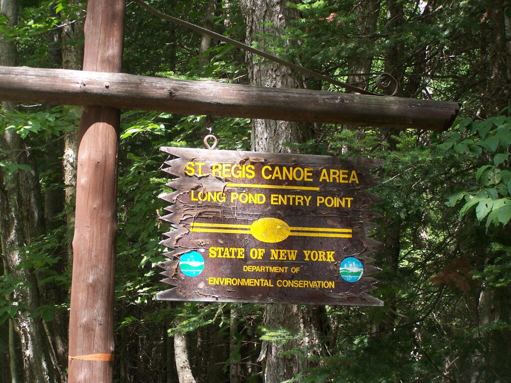
A canoe area is an area where the watercourses or the number and proximity of lakes and ponds make possible a remote and unconfined type of water-oriented recreation in an essentially wilderness setting.
The terrain associated with parcels meeting the above definition is generally ideally suited to ski touring and snowshoeing in the winter months.