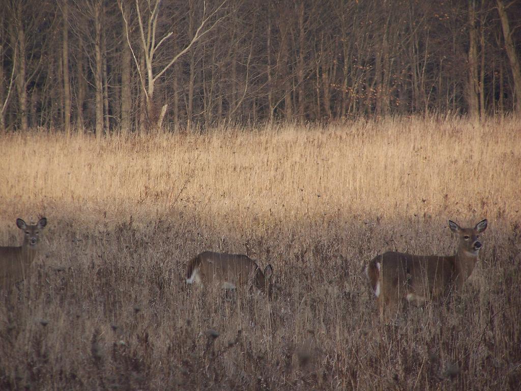
I have written many times in the past on how much I dislike State Parks and State Campgrounds. I dislike the high degree of enforcement, the rules and regulations, and the number of people that are crowded into a small area. I much prefer to be alone and make my own rules, limited only by a basic respect for the natural world around me.
I have never viewed wilderness as a fixed or pure landscape. There is no pure wilderness for me, no set of clear definations, except for the need to be fairly remote, fairly private, fairly free from the big government enforcement precence. Certainly, a scenic view is nice, and quiet from passing traffic is great, but it’s not everything.
Liberty should be the primary goal in wilderness. Wilderness is a place with the fewest regulations and rules possible, the farthest place possible from an enforcement precence. I just like to be myself, spend time in the woods, observing nature, and doing things on my own pace, without the regulations or control of the government.
It’s interesting to map the median age of New Yorkers by Census Blocks. While certain census blocks show a median age that is noticeably younger then some, e.g. juvenile institutions and colleges, a broader trend can be seen in Catskill and Adirondack Parks — residents there tend to be older.
Looking at this map, one can conclude residents of the Southern Tier, Tug Hill Regions, and North Country tend to be younger compared other portions of state, while in surburban areas people tend to be somewhat younger. Cities tend to have youngest populations, especially in neighborhoods touched by poverty and blight.
Despite what you might think, residents of Mohawk Valley are not particularly older then the rest of state. If anything, they are slightly younger. The idea that all of the young people are moving away from the Mohawk Valley isn’t supported by data, or at least new young people are coming back to replace the lost people.
This an automagically generated list of recent the maps I’ve uploaded to my blog. Click on map to display a high resolution version of the map for printing and download.
‘;
$sql = “SELECT `photos`.`id`
FROM `photos`, `phototypes`
WHERE `photos`.`typeid` = `phototypes`.`id`
AND `phototypes`.`filename` LIKE ‘maps%’
ORDER BY `photos`.`upload` DESC LIMIT 20”;
This an automagically generated list of all of the maps I’ve uploaded to my blog. It is in alphabetical order, based on the name. Right now, there are maps on the blog. Click on the link to view the smaller version or high resolution version map.
“;
}
echo ‘‘.$map[‘title’].’ (‘.substr($map[‘typetitle’],6).’) – Preview – High Resolution‘.’ ‘;
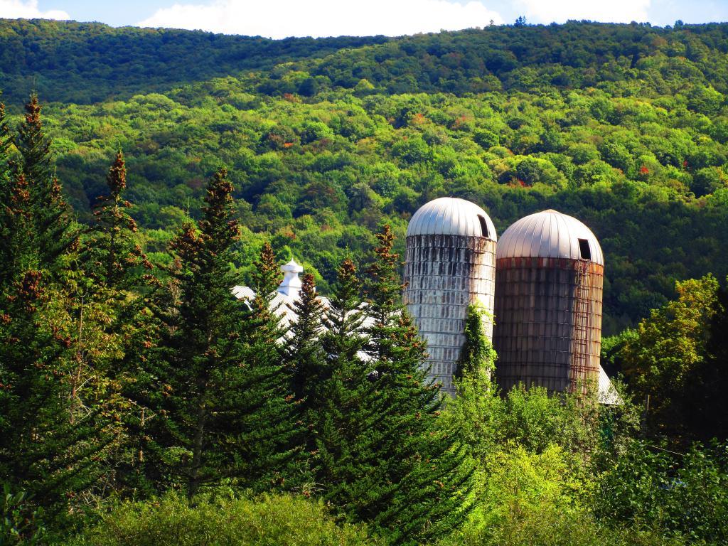
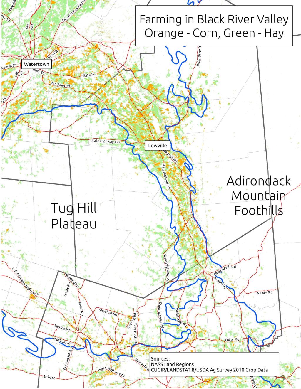
When I was younger I used to think of the Tug Hill Plateau as a vast agricultural region. It really isn’t. There are farms in Black River Valley, but not so much up on the Plateau, especially as you gain elevation.
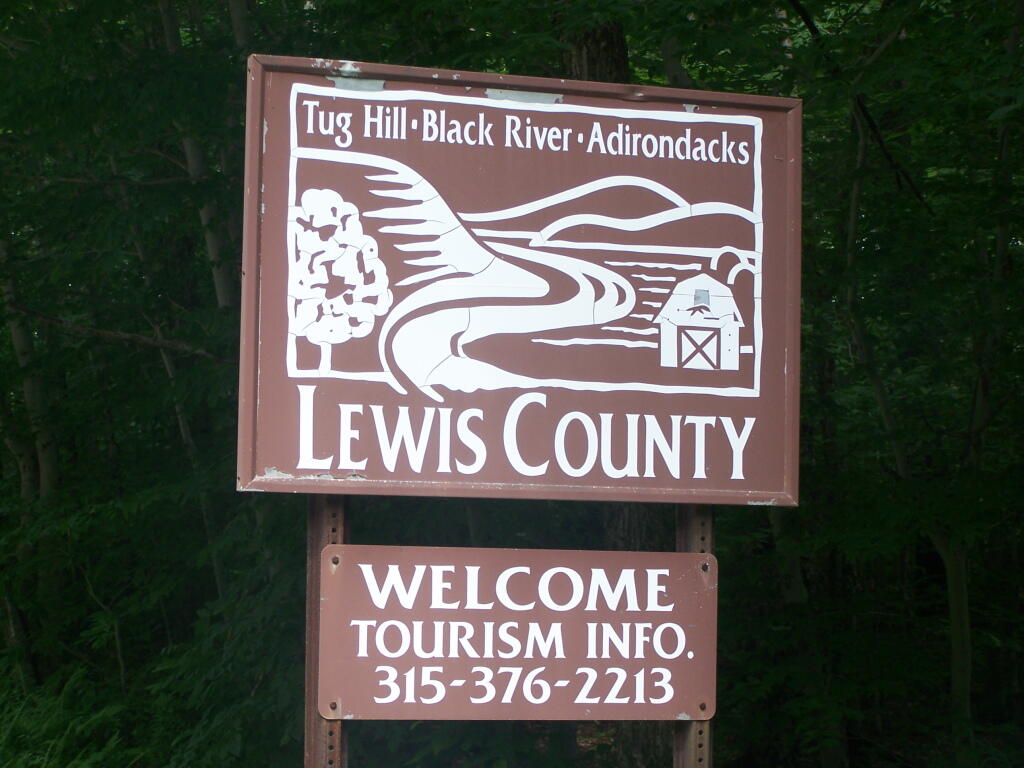
The signs going into Lewis County say “Adirondacks-Black River-Tug Hill”, and except for that relatively narrow band running along the Black River, Lewis County doesn’t have a lot of farming — much likes the rest of Tug Hill Plateau.
An elevation map of NY shows that most of the Tug Hill Plateau is between 1,000-2,000 feet elevation, but that’s high enough in NY to make agriculture unprofitable in most of state due to short growing season.
The Black River Valley, with it’s fertile soils notched between the Adirondack Foothills and Tug Hill Plateau make Lewis County a major agricultural producer, with 262 dairy farms, including some of the largest in state. The area around Lowville is excellent agriculturally, until you start back up in to the hills on both sides with their short growing seasons. Dairy farming makes up 20% of the land use in Lewis County (per 2010 USDA NASS), but almost all of that occurs in Black River Valley or slightly up the slopes of Tug Hill Plateau.
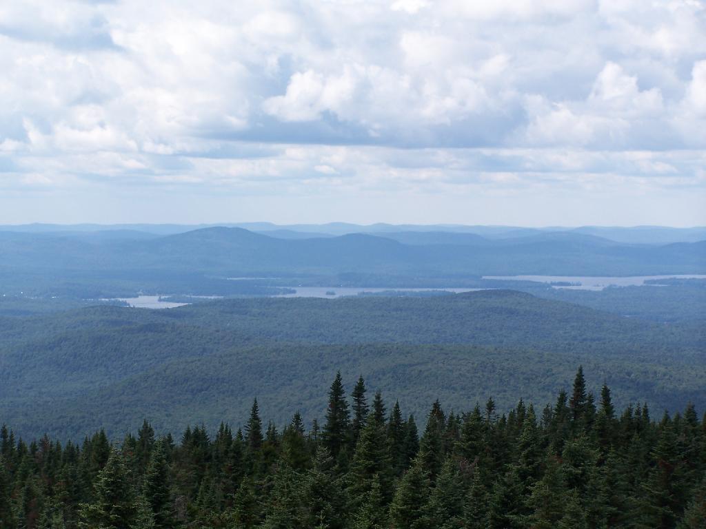
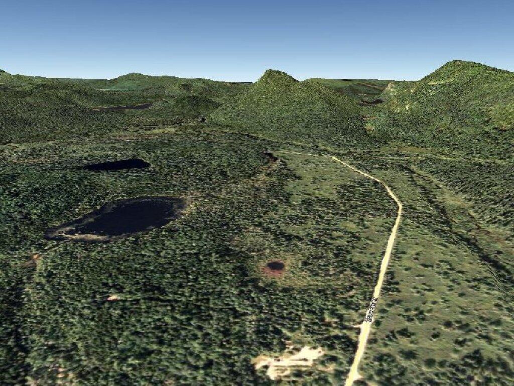
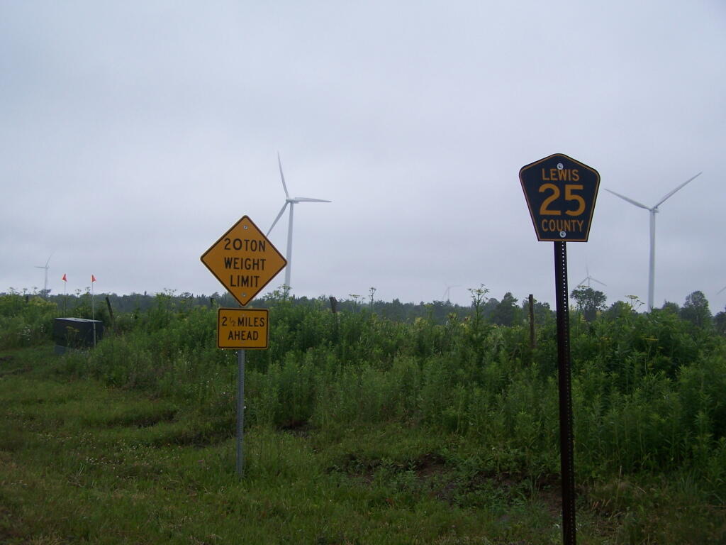
In many ways the Tug Hill Plateau is a fascinating region of the state. Unlike the Adirondack Park, only a relatively small portion of it is publically owned. About 2/3rds of it is private timber lands, with rest being public lands. It lacks any major cities or population centers, much of it is roadless, or where roads exist, they primarily service hunting camps or timberlands.
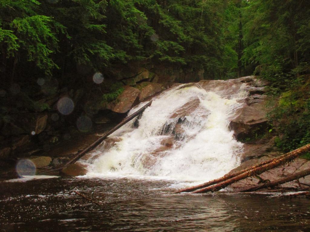
The remoteness of the Tug Hill Plateau remains a real fascination for me.
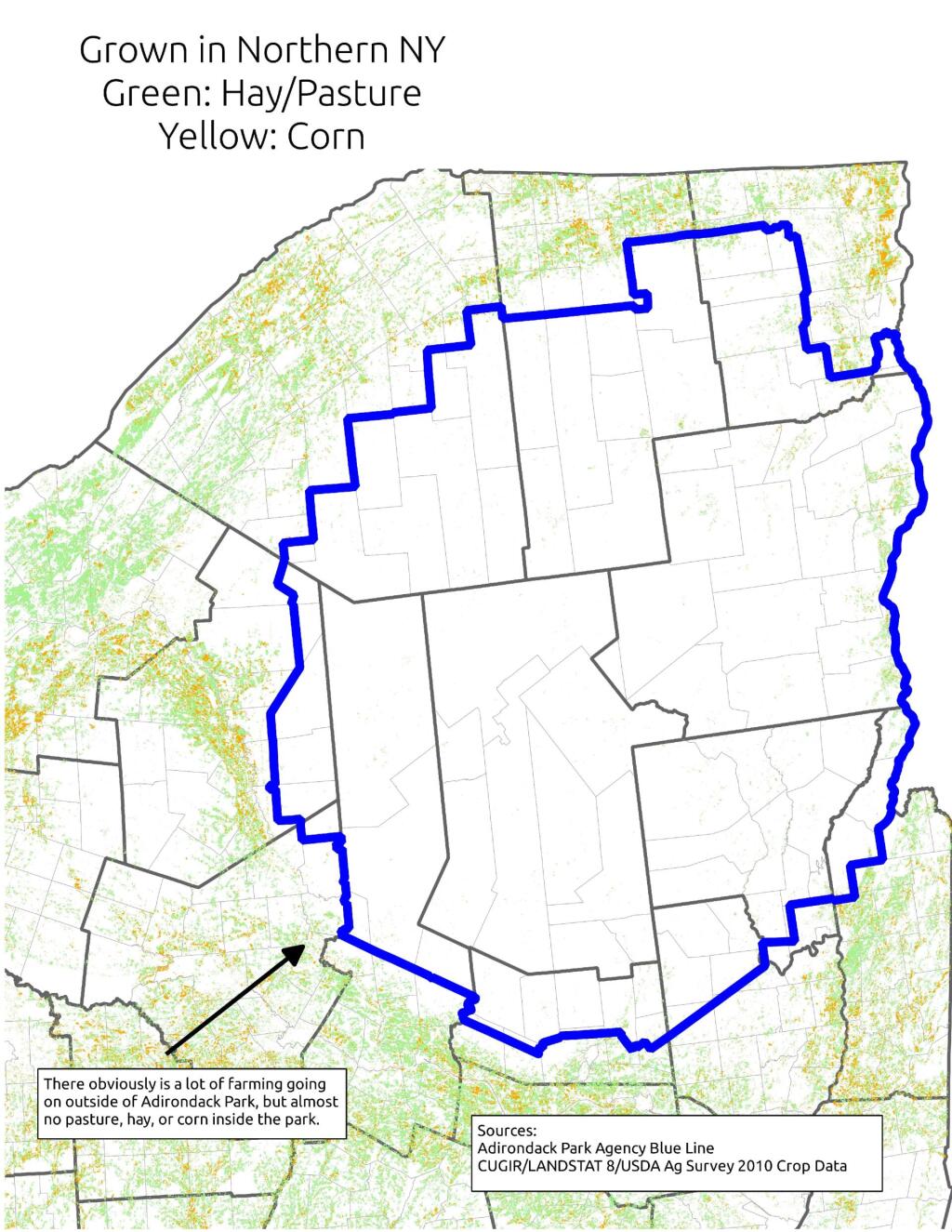
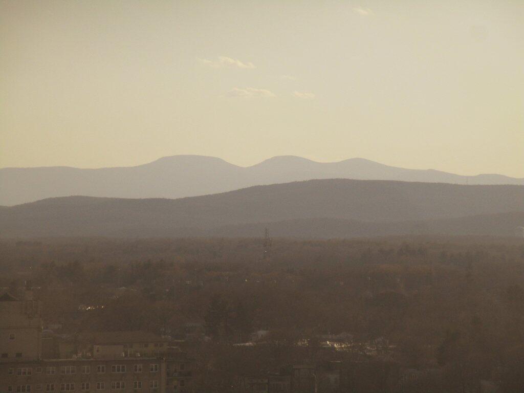
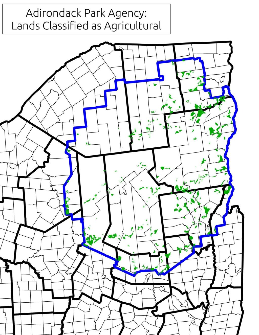
Often people think of the Adirondack Park as being the Adirondack Mountains, a very rugged and mountainous area. But as one would see from exploring much of the Southern and Western Adirondacks, a lot of the Adirondack Park is relatively flat. Not flat like Kansas, but with peaks who elevation change rival other portions of the state not in the Adirondack Park.
Most of NY State east or south of Finger Lakes is not flat. There can be significant rise in hills in these area, but we don’t consider such regions to be portions of Adirondack Park or even Catskill Park. Those lands are un-designated and not managed on a regional basis. They aren’t called a park. But what makes the Adirondack Park a cohesive unit is lack of agriculture occurring on it. Few portions of the Adirondack Park have a growing season long enough to support corn farming.
Corn is the basis of much contemporary and historical agriculture. It primarily is grown in NY State to feed dairy cattle. Dairy cattle are important, because they can provide a year round income for a farm family in form of milk sales throughout the year. Where corn can grown, silage can be made, and dairy farms can be sustained. Where there are dairies in NY State, their often is an agricultural support system that allows other farms to exists. Moreover, dairy farming is typically a mark of land able to sustain some kind of farming — if you can’t raise corn on a piece of land nearby, it’s unlikely that it would allow fruit or vegetable growing.
Moreover, without an agricultural base, their is little reason historically for people to move to Adirondack Park. People traditionally where reliant on local food supplies. Little food could be grown in the park. Even if people could import food into the park, their historically was few jobs outside of logging and mining — occupations that could only support a limited number of workers. Without an agricultural basis, few cities could spring up within the park.
Most of the land in the Adirondack Park historically was logged or mined. Logging operations are a long-term investment, with many species of trees taking 30-50 years to grow to a profitable size. Many loggers historically stripped the land of it’s trees, and then abandoned the land or otherwise turned it over to the state. That’s how the state ended up with so much land in the park. If it had been productive farm land, much if it would still be in agricultural production, with remaining lands being converted into rural residential lands, or smaller privately owned forests.
It wasn’t an act of the legislature that prevented the Adirondack Park from becoming too developed. It was a lack of corn and cattle based agriculture, as the elevation way too high to support such farming. No farms meant no civilization, and most of the park remaining timberlands, much abandoned to state use. If Adirondack Valleys where low enough to support some agriculture, their would have been much more development and civilization, then the largely wild and undeveloped Adirondack Park of today.