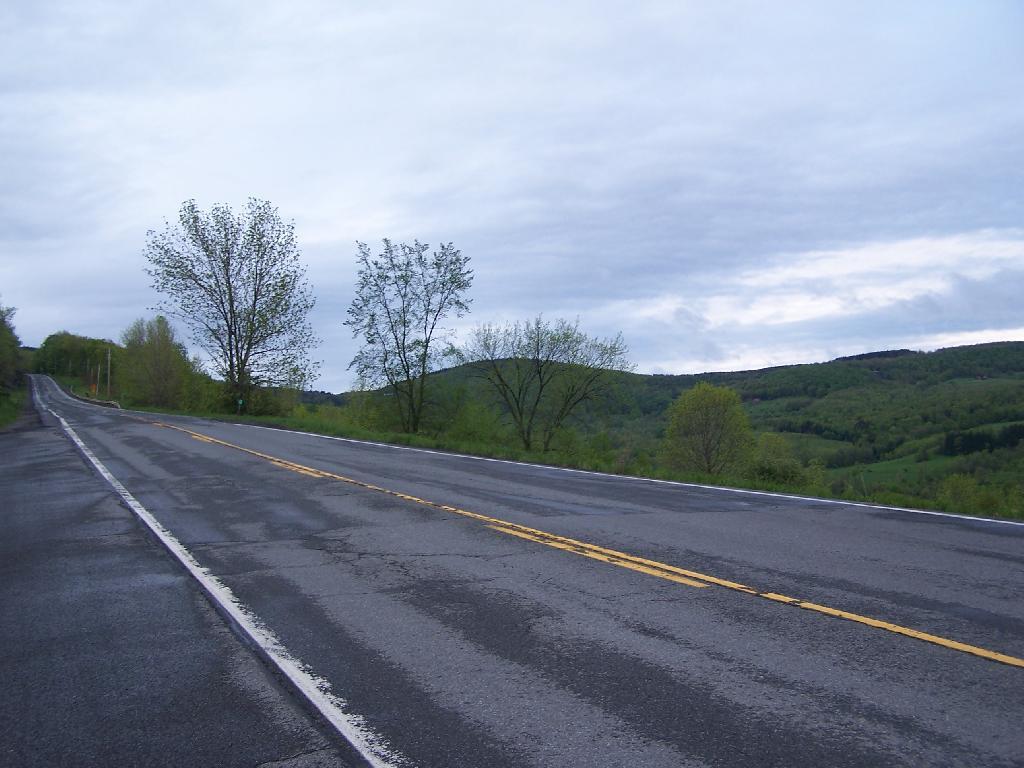
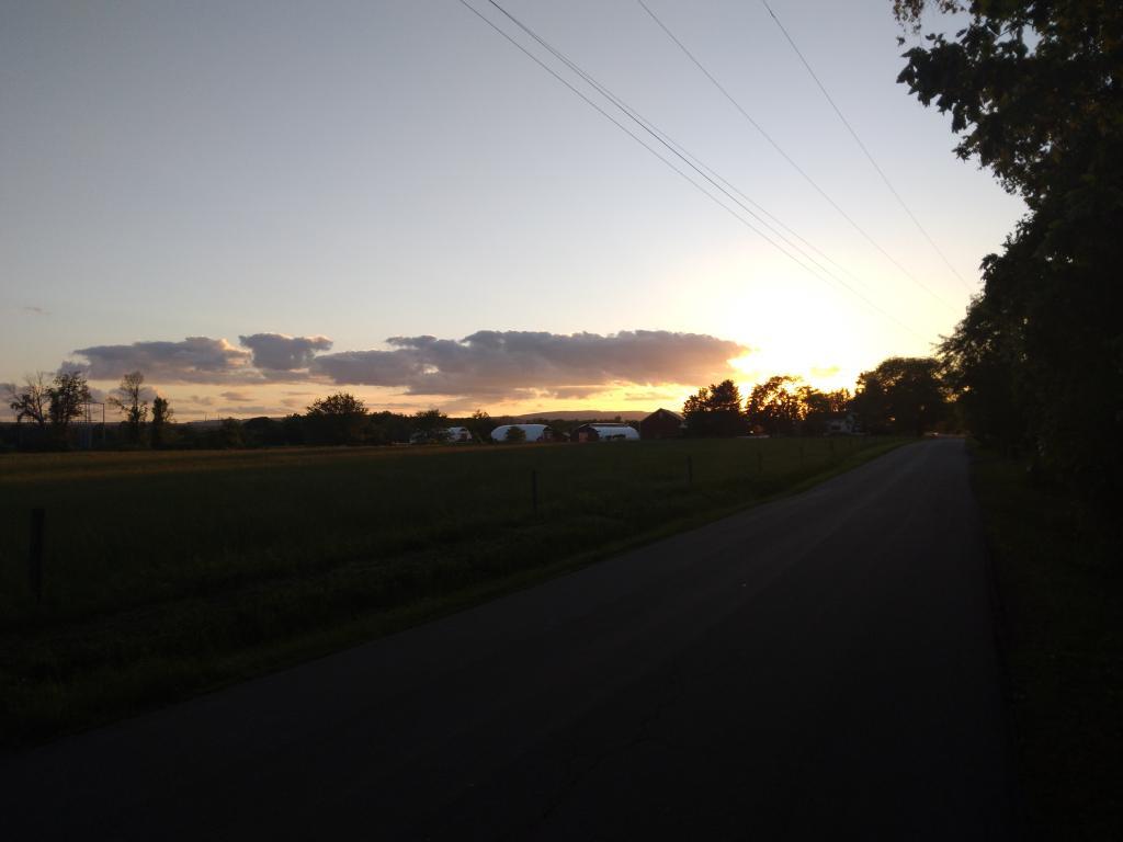
One of my favorite state forests for drive-in camping, I decided to stop by on my way back to Albany from hiking Mount Tremper. I arrived around 5 PM, after checking out some sites along Cole Brook Road. This area was pretty grown up, and while a designated camping area in the master plan, it wasn’t clear where property lines where. Driving along Cole Brook Road would be rough by anybody’s terms, impassable by passenger car, but rough in a pickup with worn-out shocks.
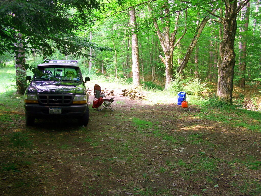
It was a pleasant night, I stayed up until 1 AM listening to music and reading by the camp fire. The fire was big and great, although I have to admit the smoke kind of blew my way so I had to move the truck. My new truck battery was strong, although I did let the truck idle for 20 minutes around 11:30 PM just to make sure I would be good to go.
I ended up camping one site lower then my preferred site as another family was camping up there. Hopefully I didn’t keep them up with my Merle Haggard. It was a good night for sure.
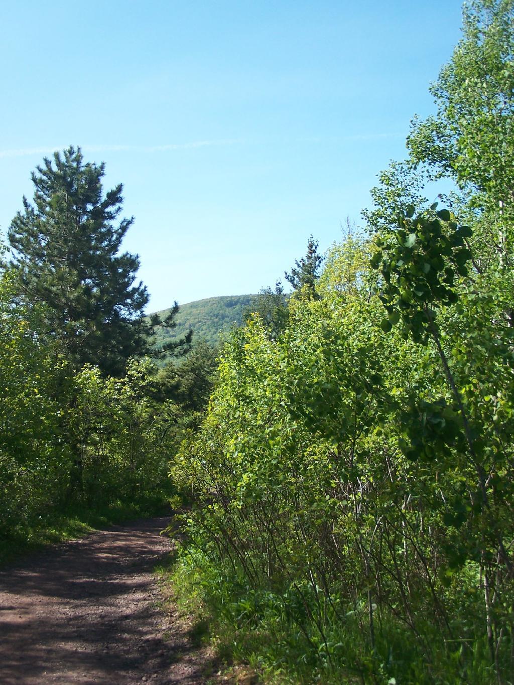
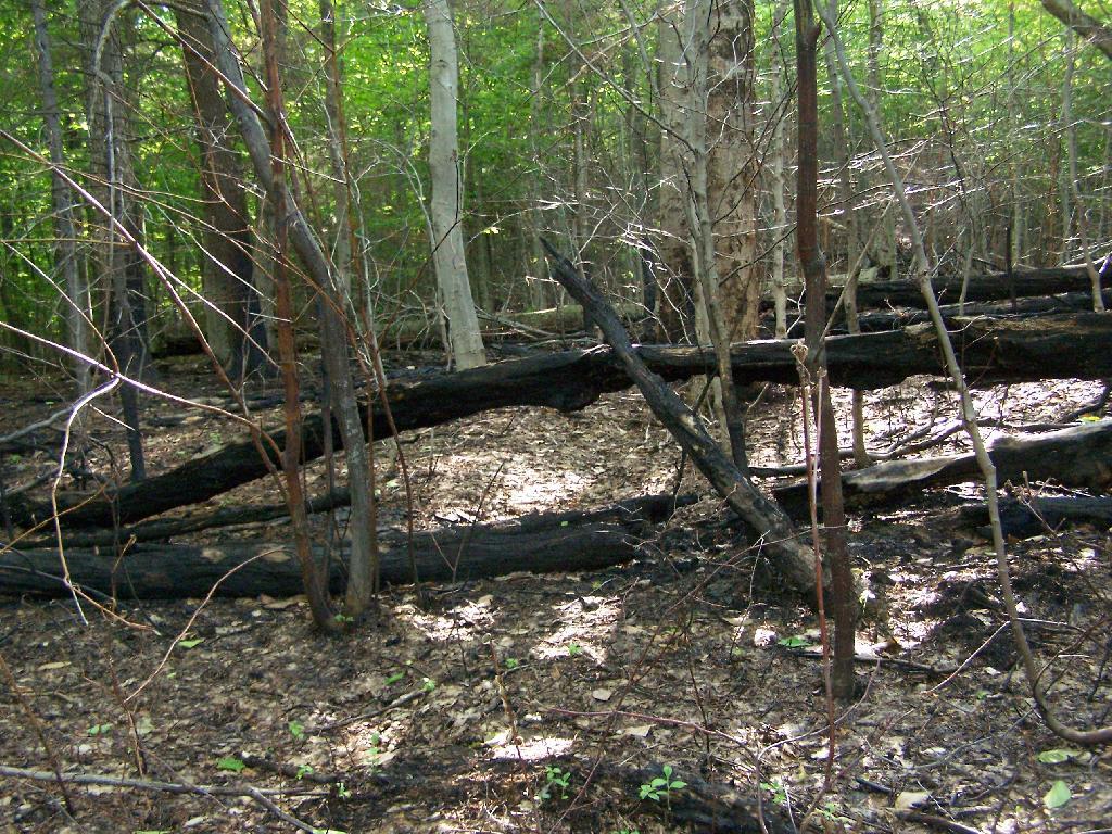
I got up around 12 noon the next day, after a good nights sleep, then decided to check out the State Truck Trail north-east spur off of Tamarack Road. It proceeded about two miles back, along logged sections and white pine forests, back to an area with a sign pointing to a lake. I got out of my truck to start hiking back that way, but seeing Turkey Hunters, I decided to give them distance, and hopped in my truck and drove over to Vromans Nose.
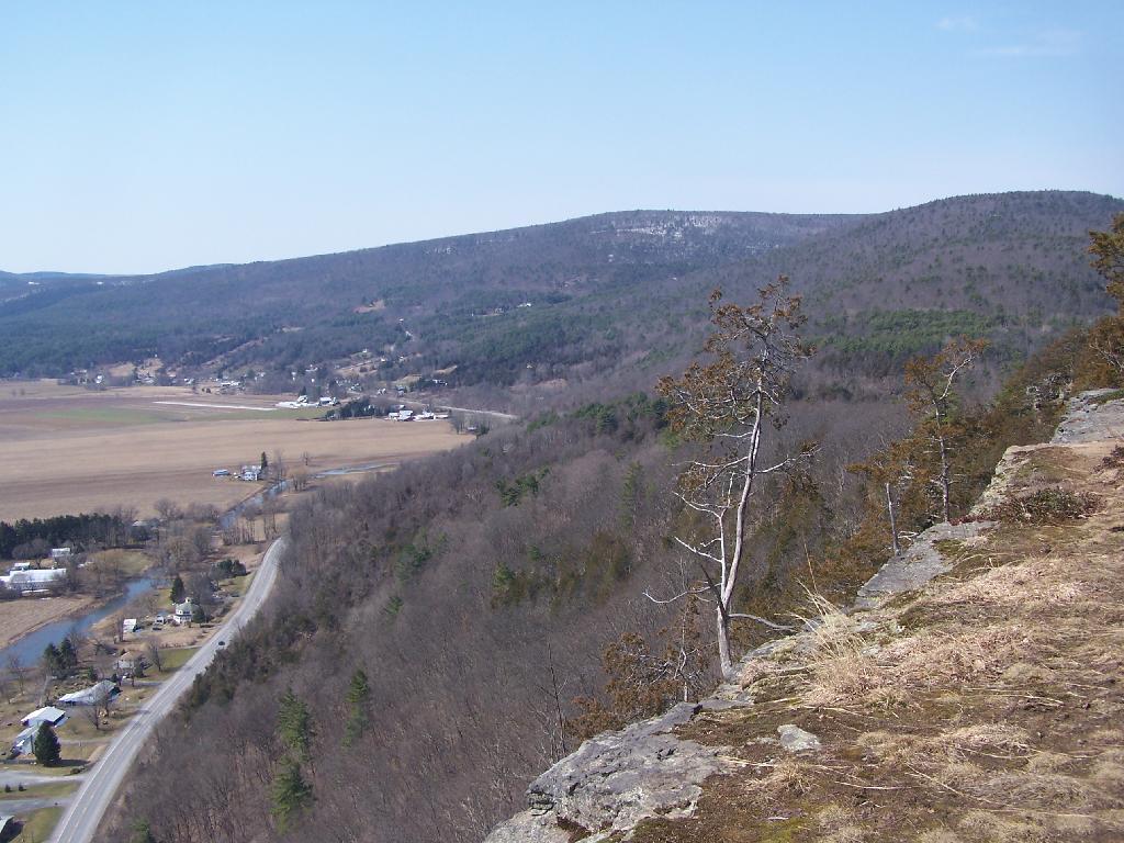
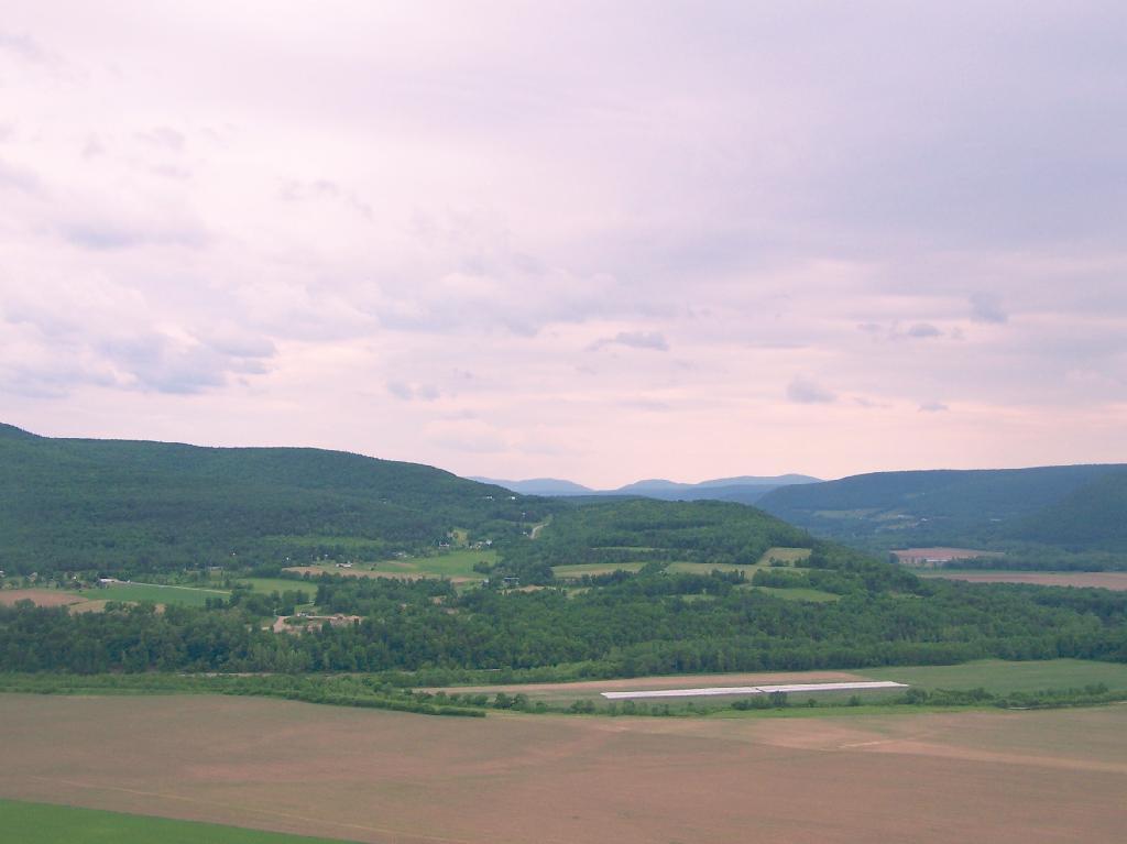
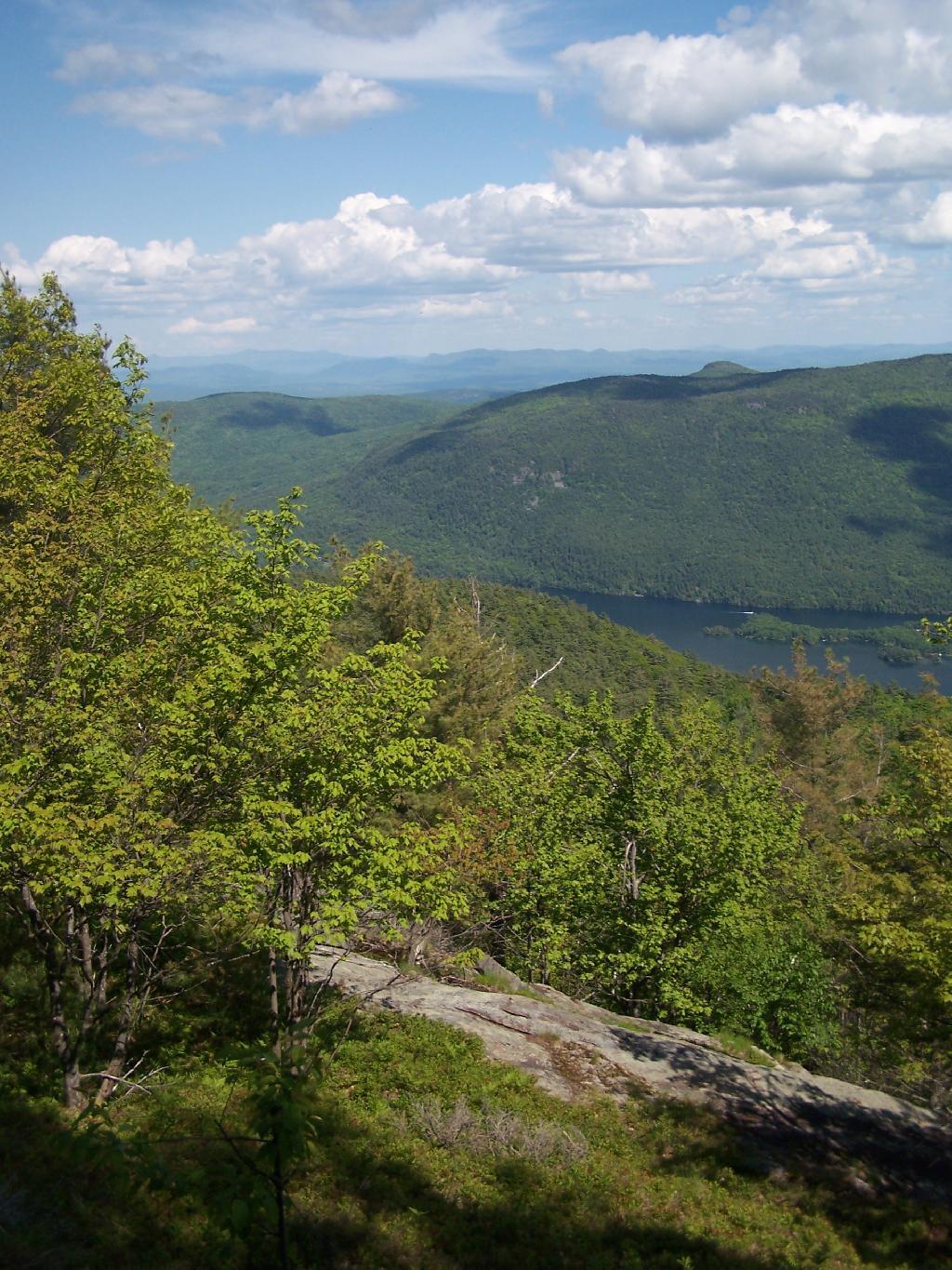
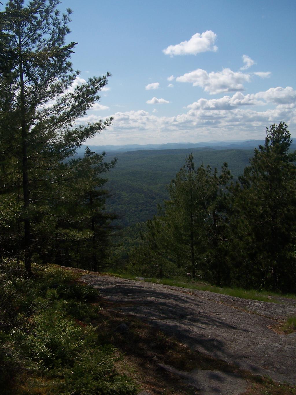
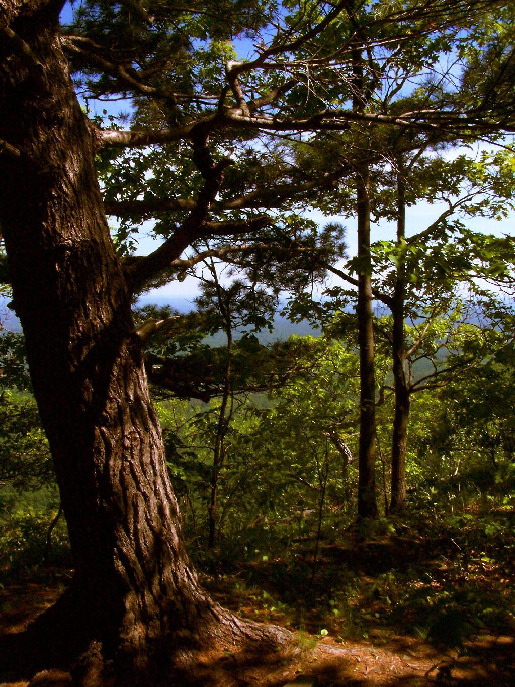
After spending the night at Burnt Rossman I decided to go up Vromans Nose for a short hike, where I could sit out and watch over the Schoharie Valley and take some pictures. I’ve been up Vromans Nose a dozen of times before, but it’s always nice to go up for another visit.
The old roadbed up the mountain.
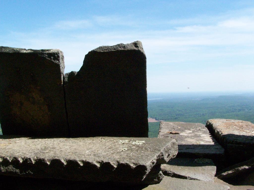
The edge of the mountain.
With thunderstorms coming in the sky was the most interesting of colors.
I spent about an hour up there before coming down.
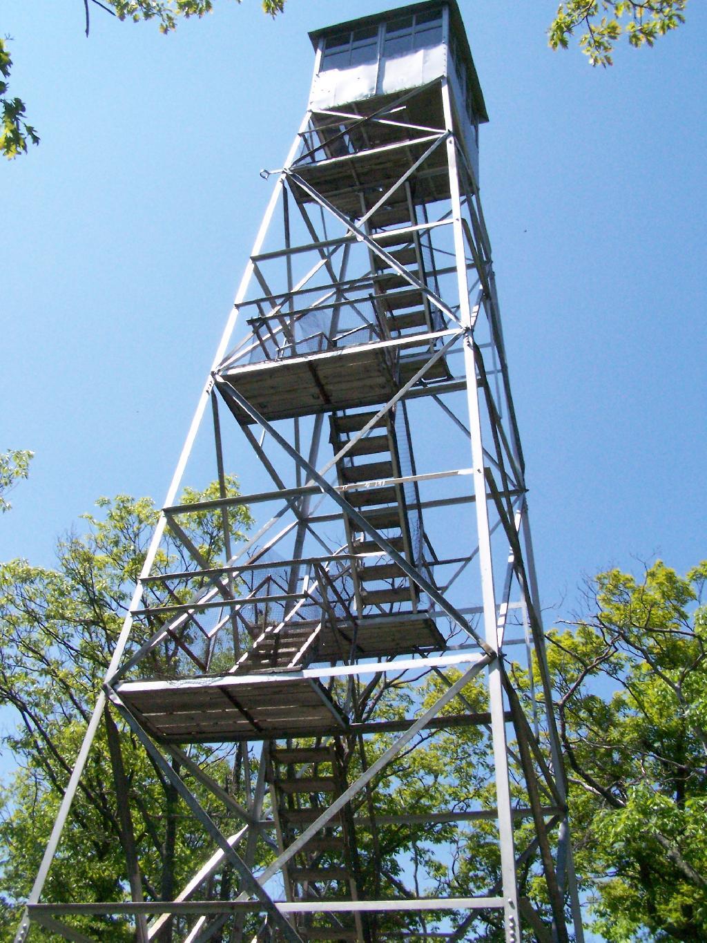
Last Saturday I went hiking up Mount Tremper in the Catskills. This is one of five remaining fire towers in the Catskills, and I was excited to do my fifth tower in the Catskills.
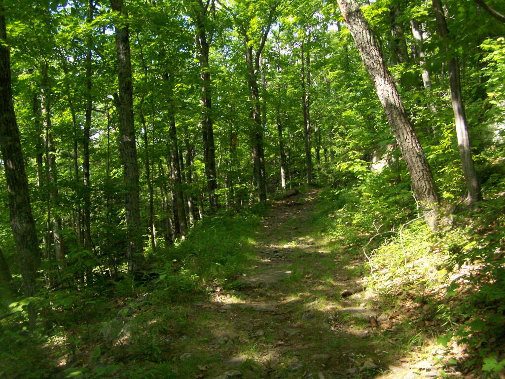
It was a nice day out, warm, but not to warm. It also was quite clear which I discovered when I reached the top of the mountain. The trail is 2.5 miles to the top, but it’s elevation increases are moderate, following an old woods road to the tower the entire way. Parts of the old woods road are eroded away, but it’s still an easy hike, as long as your patient.
As I often go hiking along, one technique I use on such a trail like this is to bring my Mp3 player and listen to podcasts as I hike on up. I knew it would be about a two hour hike up, so I put two hour long programs on the player, and the time passed quickly.
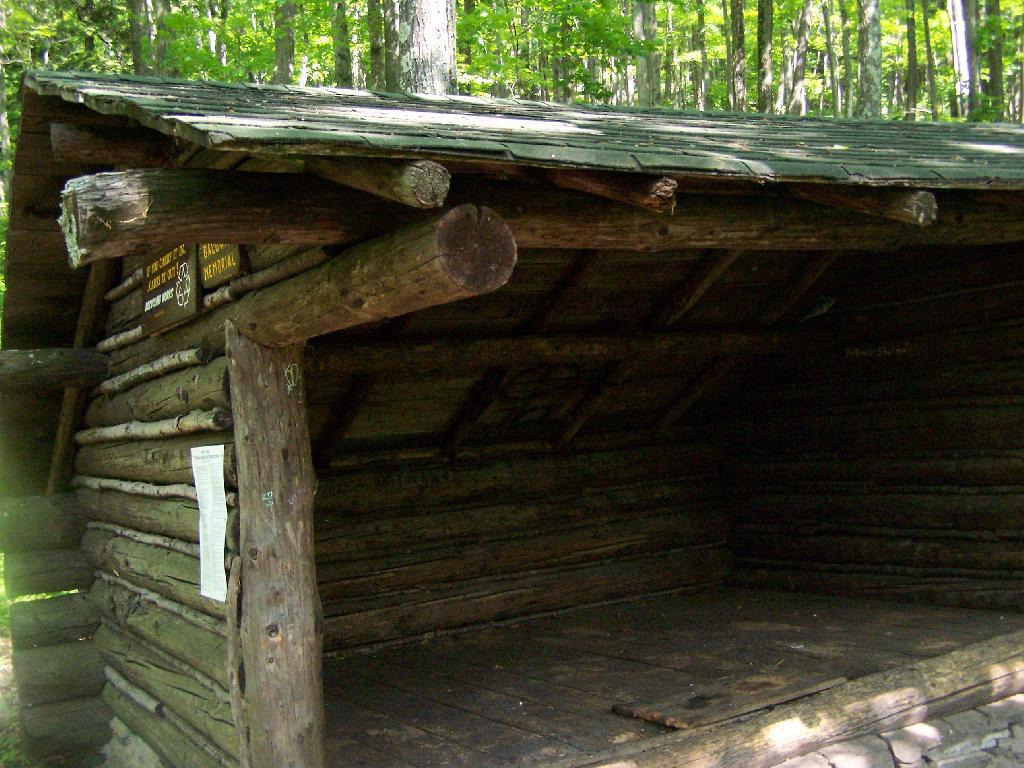
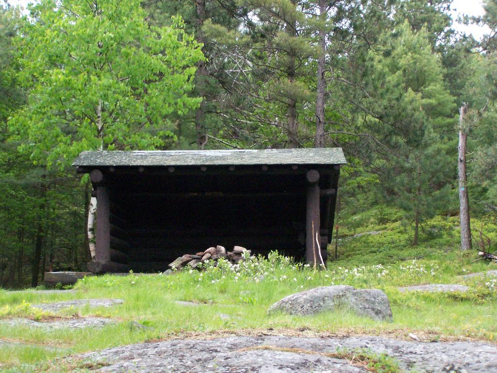
About 2/3rds the way up the mountain there is a lean to, the Baldwin Shelter once can stay in. There also is another lean-to adopt the mountain.
Once you reach the top, there are no views except a few between the trees. The only views you can see from this mountain are from the fire tower, which are quite spectaular, however you must go all the way up into the tower’s cabin before your above the tree level.
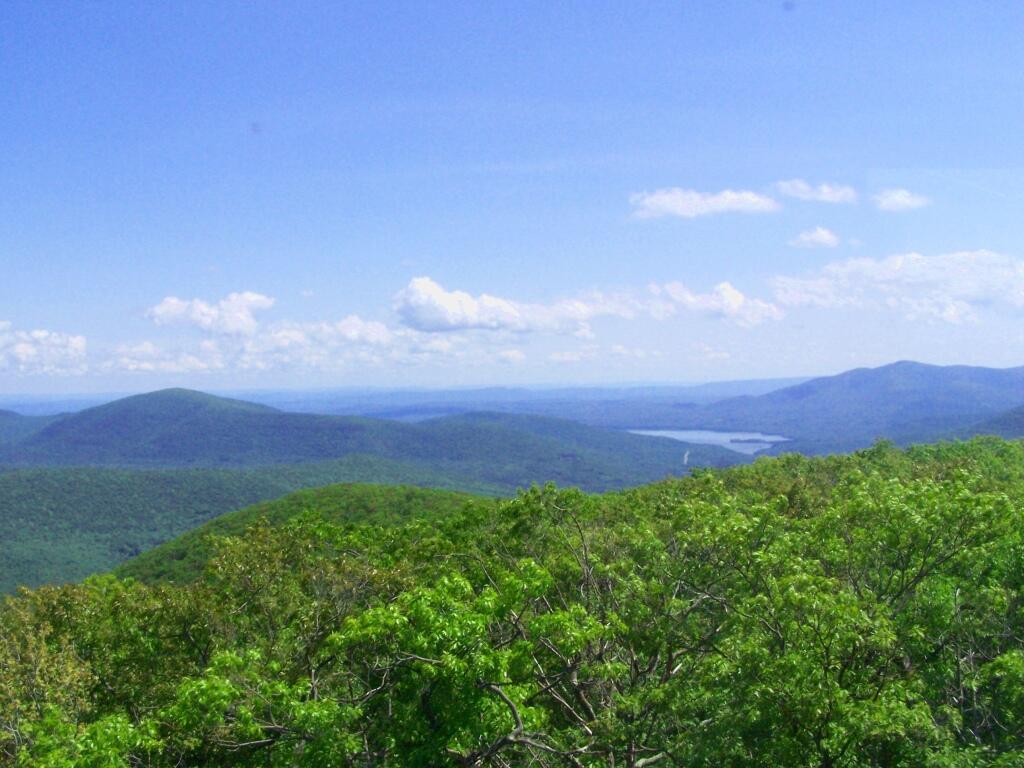
The views from the tower are amazing. This is out toward Hurley and the Ashoken Reservior.
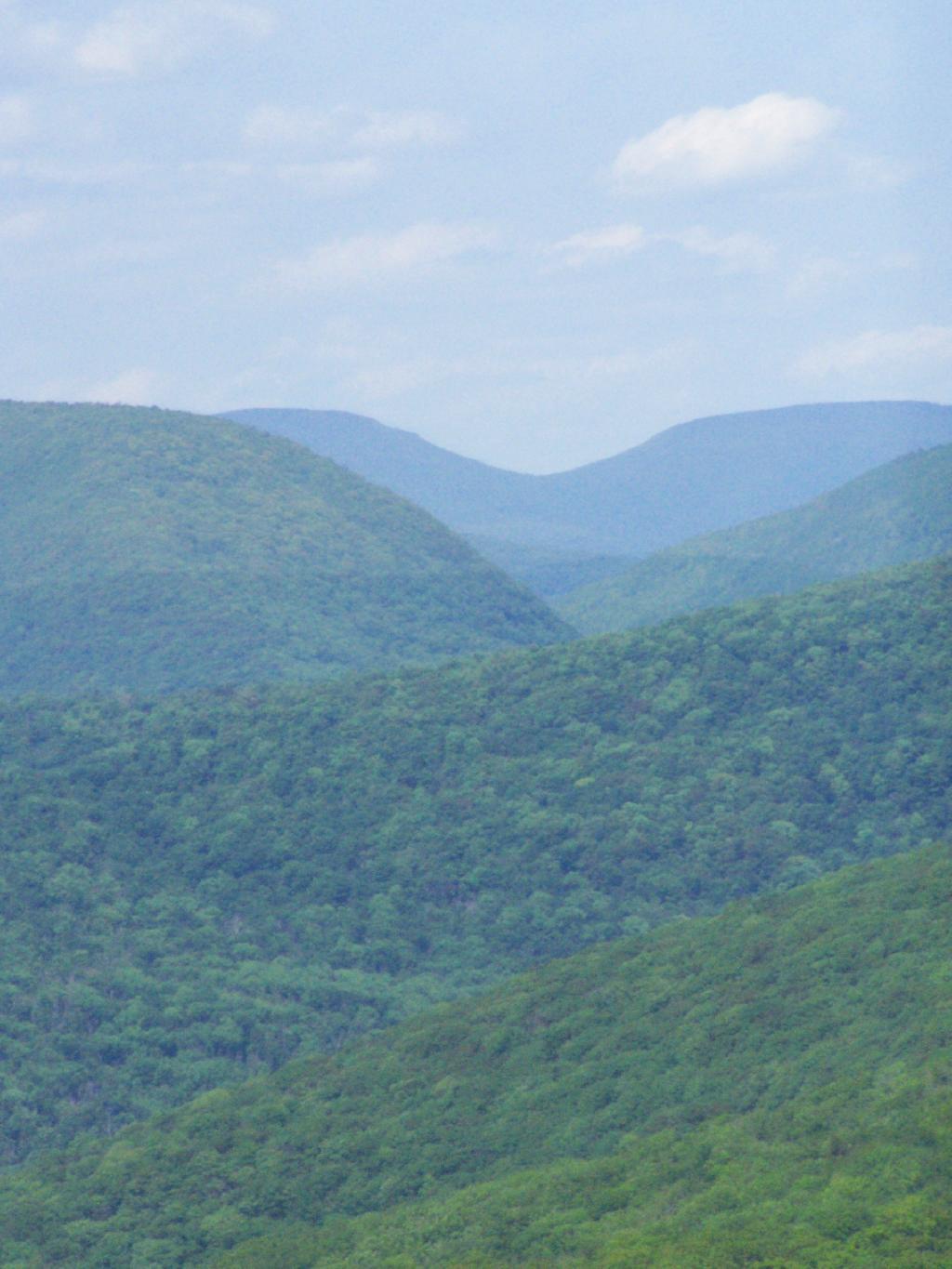
Here’s Devils Clove. Some reflections are noticeable from trying to shoot through the windows of the Fire Tower cabin.
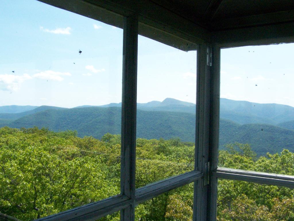
Slide Mountain through the windows of the tower. It was hot up there, and the bugs and glass made it hard to get pictures. I tried to open a window in the tower, but the latch wouldn’t budge.
Descending the tower.
I walked a ways onto the blue trail beyond the tower, searching for other views, however there are no views except on the tower on Mount Tremeper. A nice hike for sure, but I would have preferred some views where I could sit down, have my lunch, and enjoy the edge of the mountain.
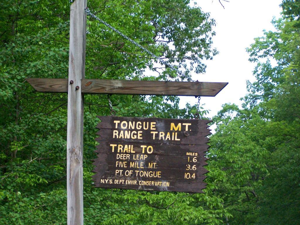
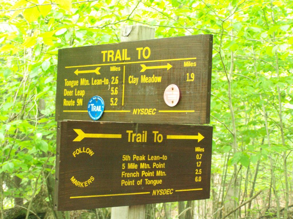
I got up at 5 AM on Saturday and headed off to the Tongue Mountain Range. I arrived there around 8 AM, because I made several stops on the way up, and didn’t really get in my truck until 6:30 after getting ready and having breakfast.
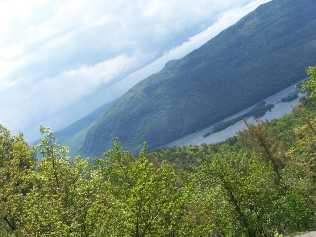
I wanted to hike up Fifth Peak and French Mountain, famous for their views of Lake George, but I ended up hiking up Five Mile Mountain, as I parked at the wrong area based on my faulty memory of where the trail head was, based on a brief drive by some three years ago back in college.
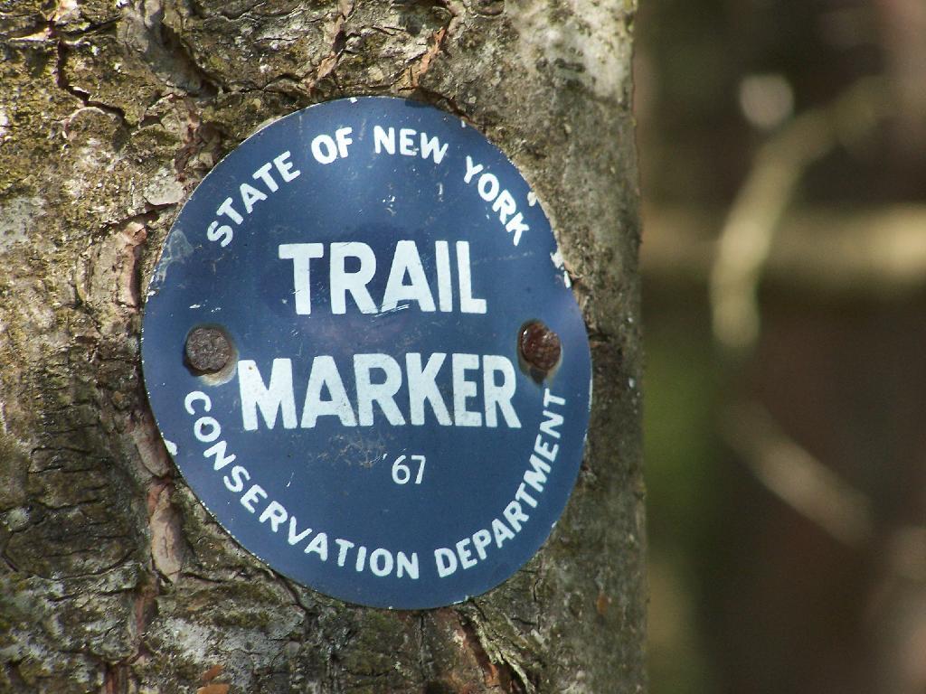
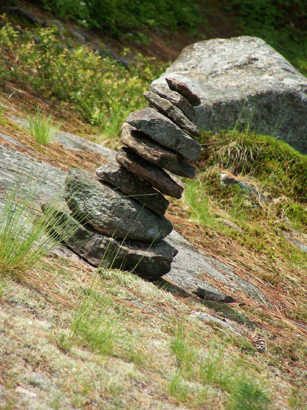
The markers on the trail where old, but it was well marked with these 1967-era trail markers and carins.
Lake George can be seen off one view from Brown Mountain. It was raining as I hiked up there.
I was fortunate enough to make it up to the Five Mile Leanto before the sky just opened up and started to pour.
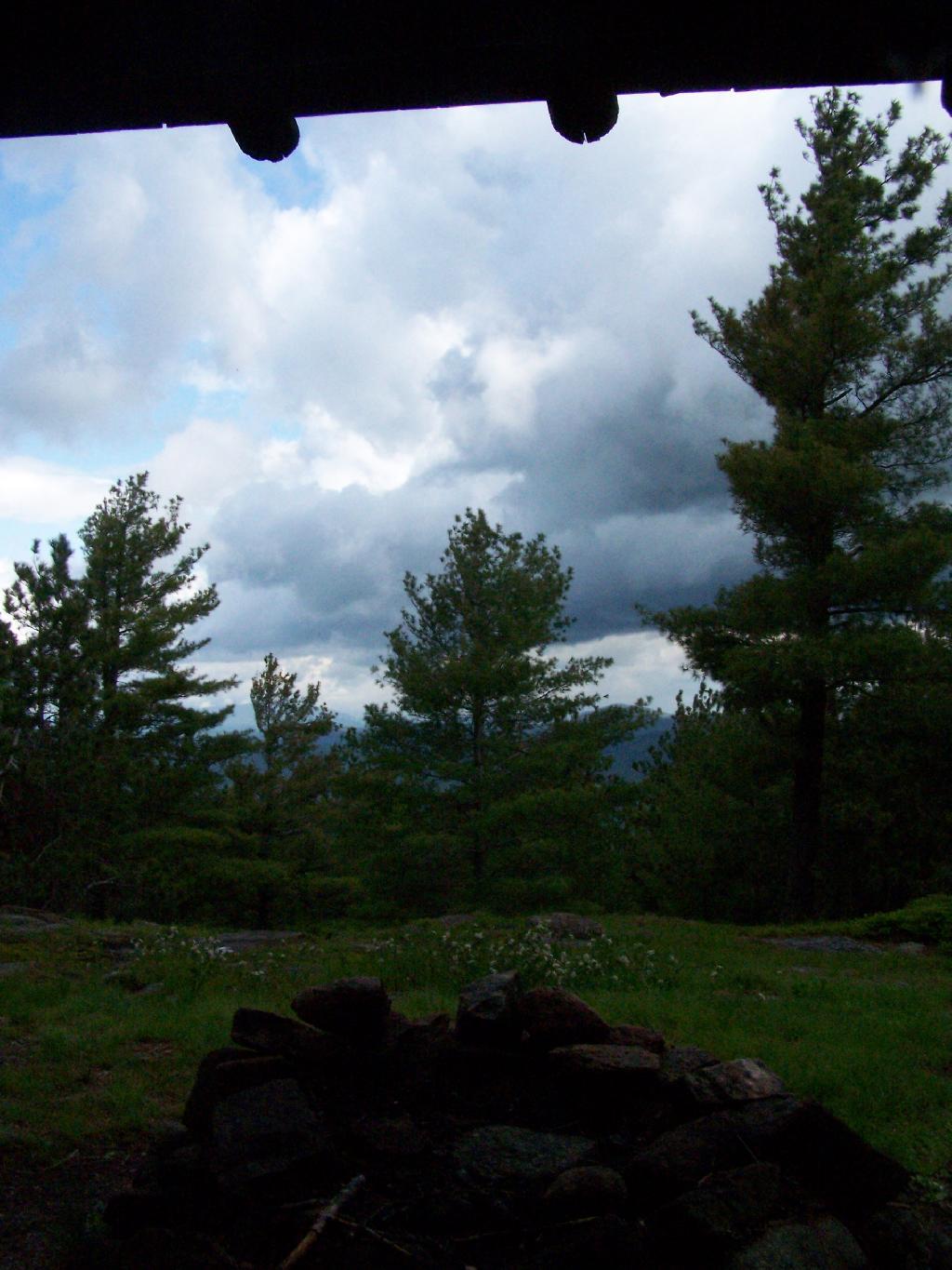
Sitting in the lean to watching as the rain rapidly approached me. This lean-to was not well thought out as it faces due west. But it must have good views of the sunset. Maybe some night I should stay up here.
Fortunately the rain passed relatively quickly.
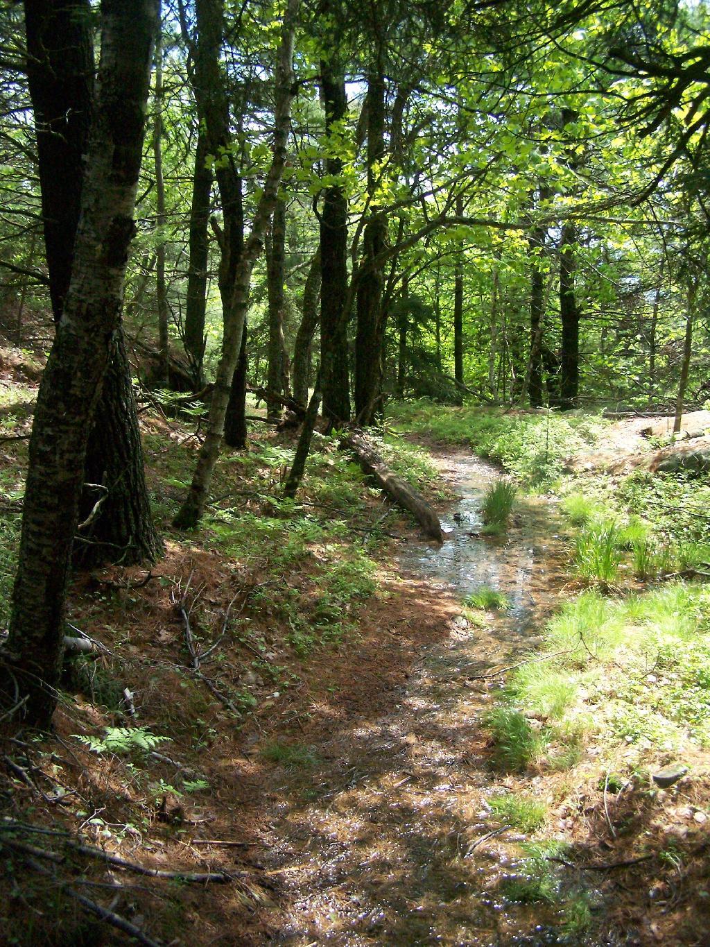
But it left the trail fairly swampy in parts.
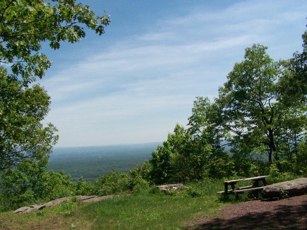
The trail from Five Mile Mountain has some limited views to the east over Lake George. It was still cloudy when reached this point around 10 AM but was starting to clear out.
You descend down Five Mile Mountain come to the intersection of the trail to Fifth Peak and French Mountain.
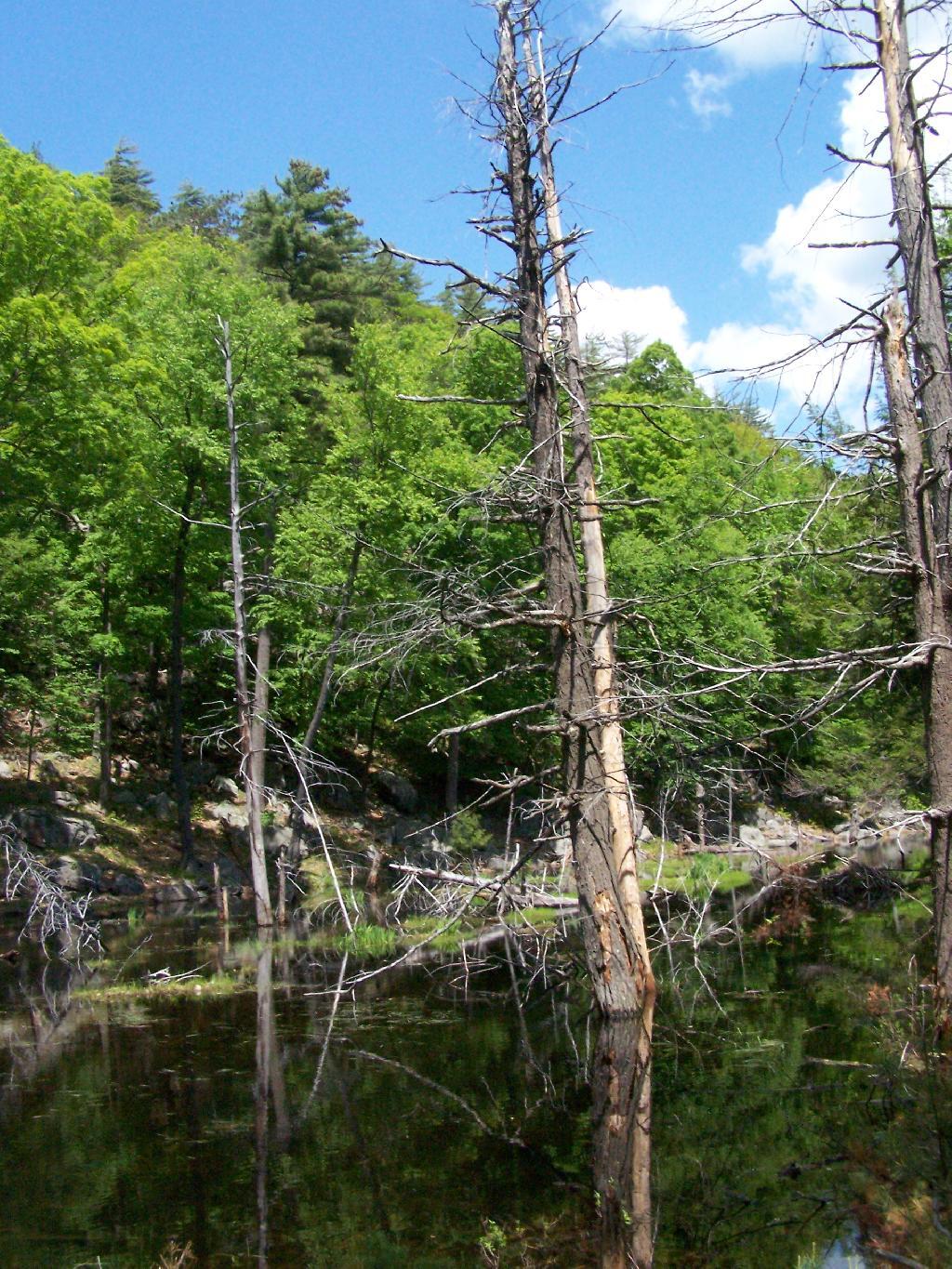
After you get on the trail to descend down to Five Mile Point, you go past a long and skinny portion of creek dammed up by beavers.
Descended down to Five Mile Point and had lunch along Lake George. It’s a relatively steep and long descend down to Five Mile Point, and it continues to be steep until you get down to the shore. Not a perfect place for a picnic, but still pretty.
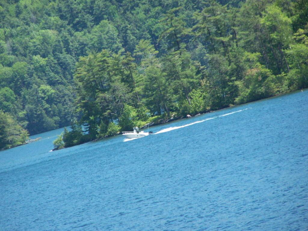
Here’s a boater passing by an island on the other side of Lake George.
The trail back up from Five Mile Point was an old-wagon road, probably abandoned for 100 years now. It’s a steep climb back up it.
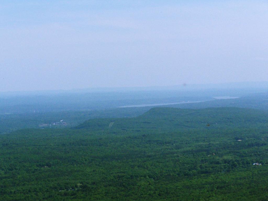
The views back atop of Five Mile Mountain where amazing, once it cleared out with just a few clouds remaining.
It cleared out by the time I was back up on Five Mile Mountain. There is Lake George, Bear Mountain on the other side, and the Green Mountains and Vermont in the distance.
Hiking along the trail…
The view from the lean-to when the weather is a bit nicer.
Near where the trail splits off to go over to Deer Point (which I did not visit), there was a serious forest fire in 1985. It was one hell of a fire, as witnessed from the damage from almost 25 years ago.
I arrived back at my truck around 5:30 PM, a bit tired and sore. But the views where great!
On Memorial Day 2009, I decided to go on an afternoon hike to the Palenville Overlook, along the old Catskill Mountain House Road, which was used for horse and buggies during the era of that great mountain house prior to the installation of the inclined railroad and later automobile.
The first part of the trail is a moderately steep old wagon road that climbs about 1,000 feet to the site of the Halfway House / Rip Van Winkle Hollow. If it wasn’t gated closed, it would be passable by an automobile. When you reach the ruins of the Halfway House, there are horse tie-downs and ruins of the old tavern known as the Half Way House. It’s where passengers could get a good strong drink and so could horses, as they made their way up to the Mountain House.
After this nice place for resting, the trail climbs a bit more and becomes a lot less steep. You pass by a private hunting cabin, and finally into the forest preserve. You arrive at a pinic area with nice views of the valley, a picnic table, horse tie-downs, and a fireplace full of trash.
From there the trail gently goes up, with two big switchbacks. The trail to the Palenville Overlook switch-backs down about 100 feet off the old Catskill Mountain House Road, and then winds on a narrow trail about another mile to the Palenville Overlook.
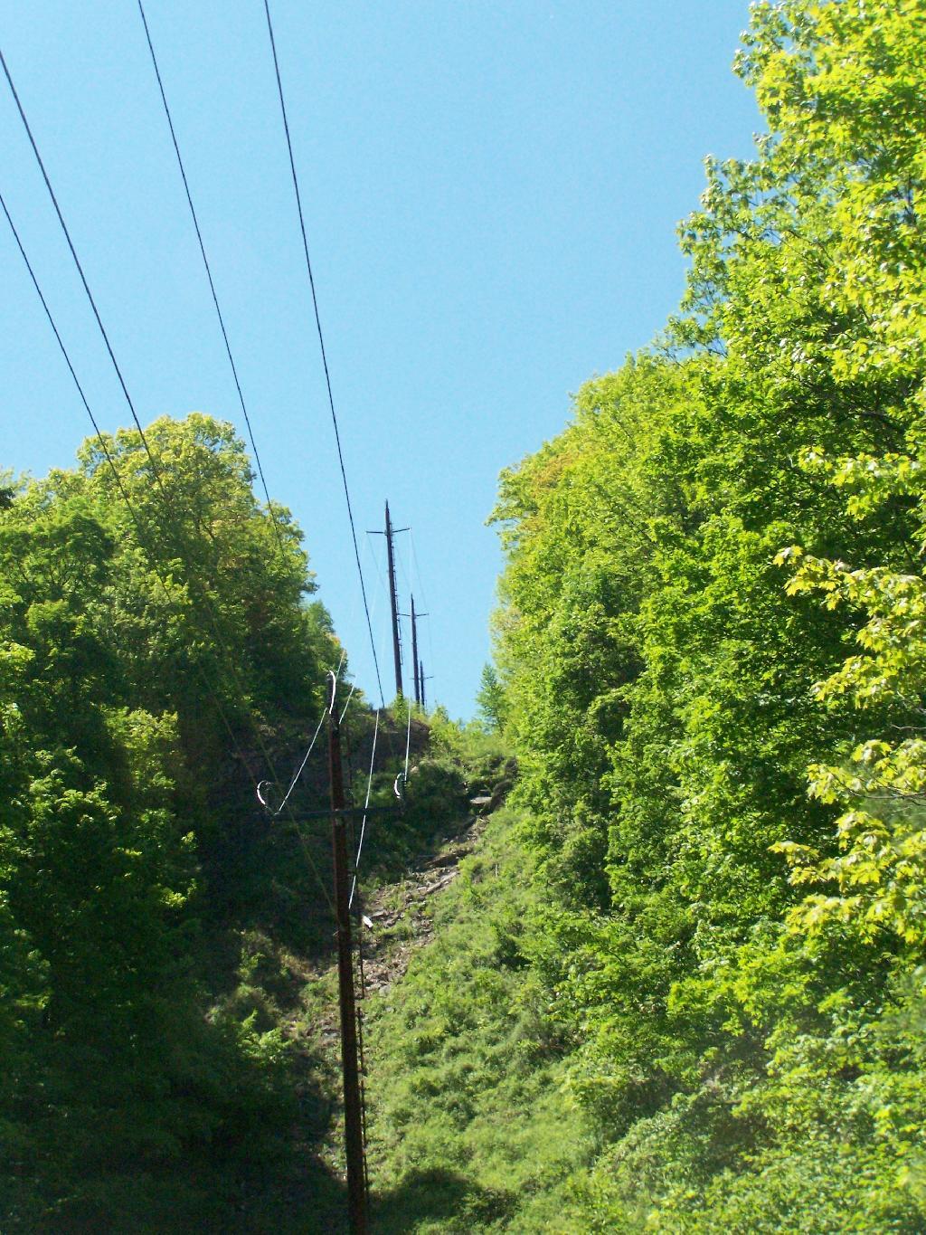
You then cross the ruins of the old inclined Otis Railroad tracks, in which all that remains are foundations. According to “AMC’s Best Day Hikes in the Catskills”, the rails and other scrap metal was sold to the War Department during World War I. By then the automobile had made this mode of obsolete as the old horse trail up the valley. All that remains is the cut on mountain, where a high-tension power wire runs.
You eventually reach the Palenville Overlook. The views are amazing, although it was fairly hazy the day I went there. There are awesome stone-built chairs out of old Palenville Mountain House ruins, that provide a great place to sit with a book, as you enjoy views of the Hudson Valley looking south-east. There is another view along the escarpment of the valley somewhat to the north, that gives more due-east views.
From there, I hiked back to the old Catskill Mountain House road, and up to the site of the old Catskill Mountain House ruins. I took some pictures, and then started down the mountain, when I realized I had left my hat up the Catskill Mountain House site. So I ended up backtracking, and ended up missing Memorial Day dinner at my parents house. But so be it.
I left work about 3:30 on Friday to go camping out at Burnt Rossman State Forest. It was a nice evening out the first night, warm and comfortable. I sat up under the moonlight until 1 AM, listening to the radio, reading, and watching the flames flicker in the campfire. I had my florescent lamp hooked up to my pickup, and the music going loud. But there was nobody around, so it didn’t really matter.
The weather was not as clear on Saturday. I went for drive out west, ending up outside of Cooperstown in a very rural, but mountainous area called the Burlington Flats off Route 51. Interesting little area, that reminded much of the other portions of the Central Leatherstocking regions, particularly a similiar area along US 20 in the area of Winsfield. Beautiful country for sure, but without much economic activity.
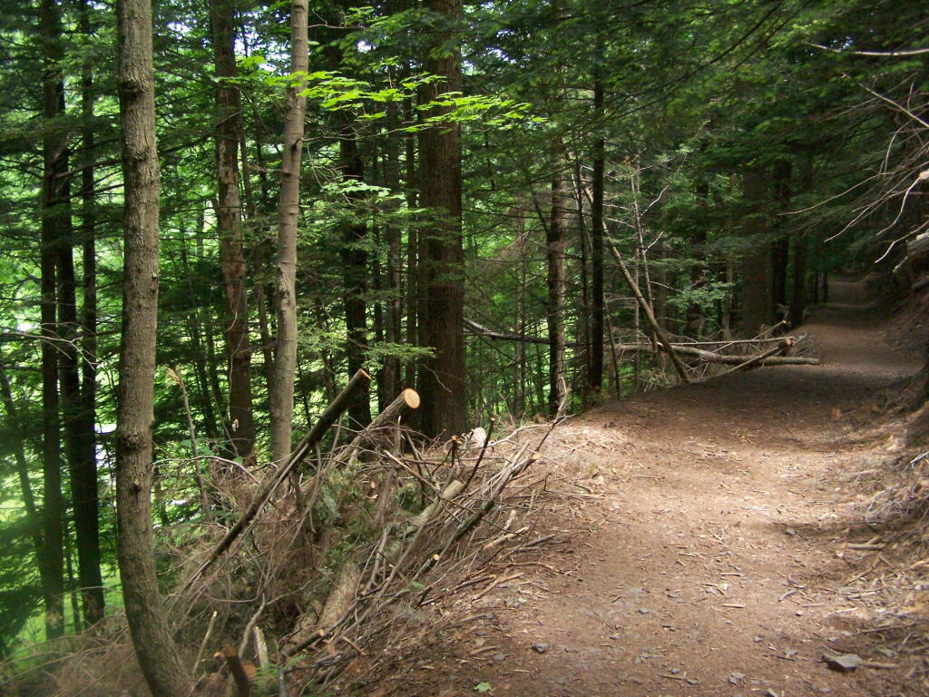
When I returned back to Burnt-Rossman State Forest I went for a little hike wandering through the woods. I ended up visiting a campsite I had previously stayed at. Apparently I passed by some turkey hunters, and didn’t realize it, until I started back and heard them shooting. I decided to take the road mostly back for my own safety.
It started to rain about 7 PM, and it eventually put out the campfire. I sat under the cap of my pickup, with a book and read until 11 PM at night, when I decided it was time for lights out. It was a noisy night, sleeping under the fiberglass cap with the rain pounding down on it. The next morning I was damp and tired, so I left around 6 AM, got on I-88 and was home by 7 AM. It was a nice experience.
For those desiring a certain policy outcome, they may be appalled at how slow government is to get certain policy goals done. Yet, grid lock is a good thing. It means that all conflicting interests are at the table, and that they are effectively represented. All significant interests are able stall or stop things that would be seriously detrimental to their own standing.
No one interest should be given preferential treatment based soley on their constituency size or constituency wealth.
Democrats should be left a few seats short of 60 in the US Senate, so that critical measures are done in a bipartisan fashion, that requires compromise with Republicans. One could hope that their continues to be conservative Democrats and liberal Republicans, that makes getting legislation passed requires a lot of arm twisting and balancing of legislation. The fillibuster should not be repealed.

![Untitled [Expires August 4 2024]](https://andyarthur.org//data/photo_001936_large.jpg)