Mount Utsayantha is a village park, high above Stamford, NY. It is accessable either by driving or hiking up a steep one-lane truck trail. I decided to drive up, mainly because I was interested in the view more then the hike up (which would be delightful too).
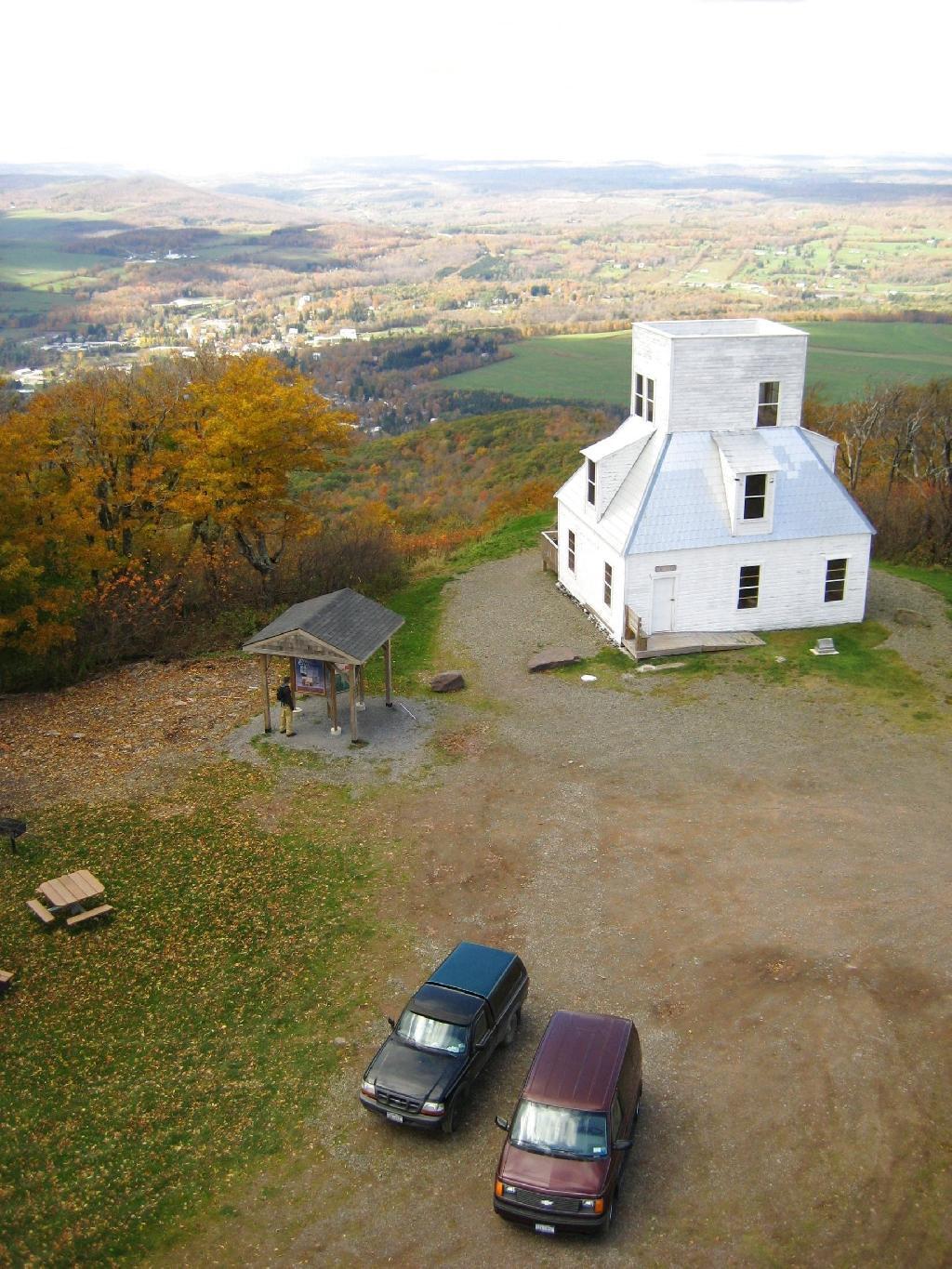
Here is looking off the firetower at the former gift-shop/observation building that was badly vandalized and is in process of being restored.
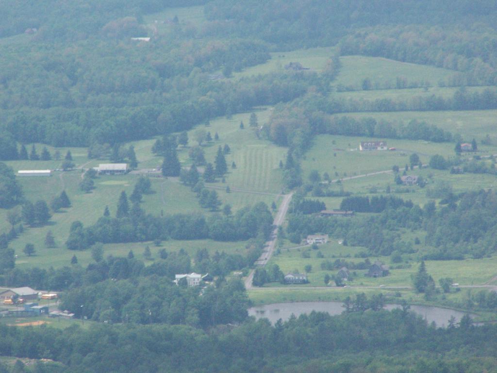
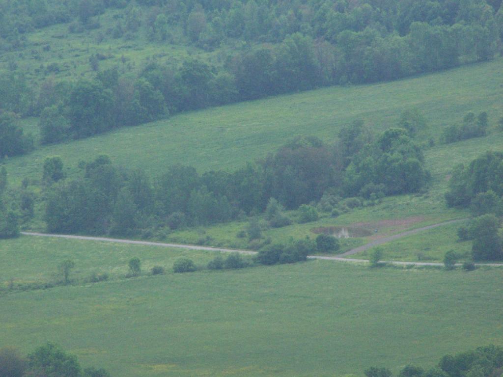
Driving up the truck trail to the park, when you almost reach the top, there is a location where you can pull off, and looking for a wonderful northernly view, with farmlands in the foreground, and Emmenence State Forest in the distance.
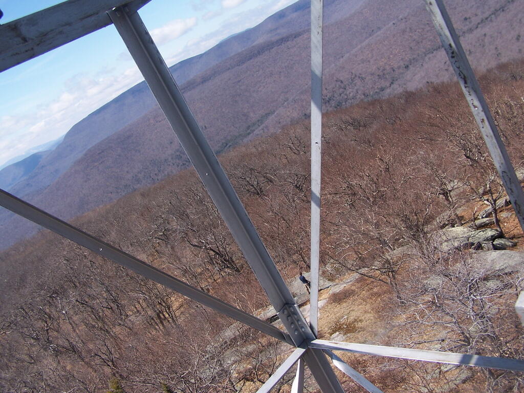
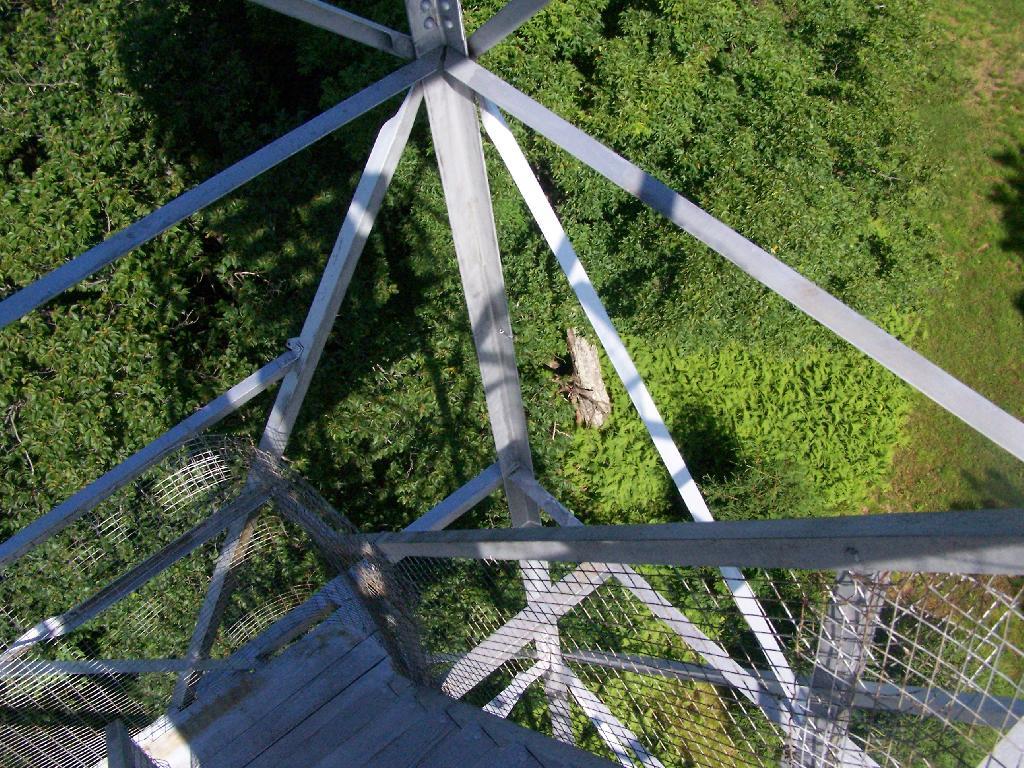
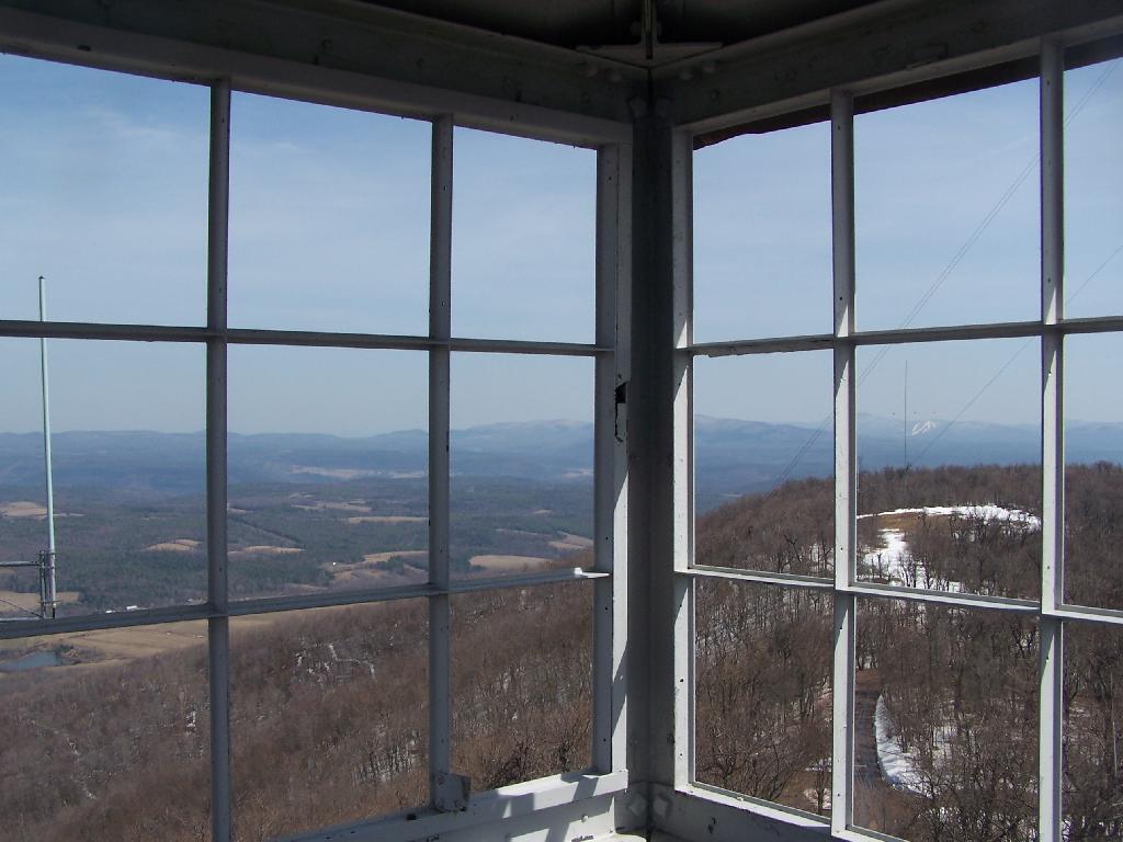
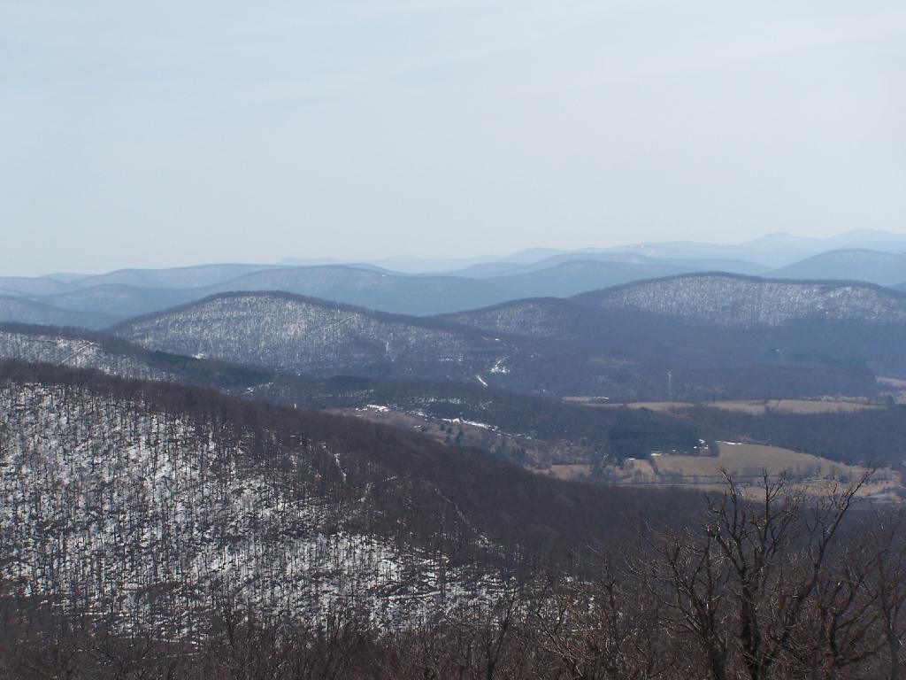
The views from atop of the fire tower are nothing short of amazing. This is from inside the tower, looking out the windows.
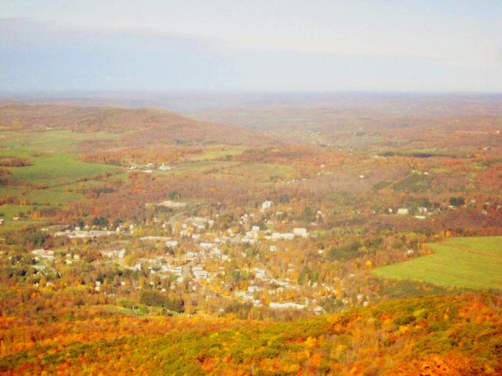
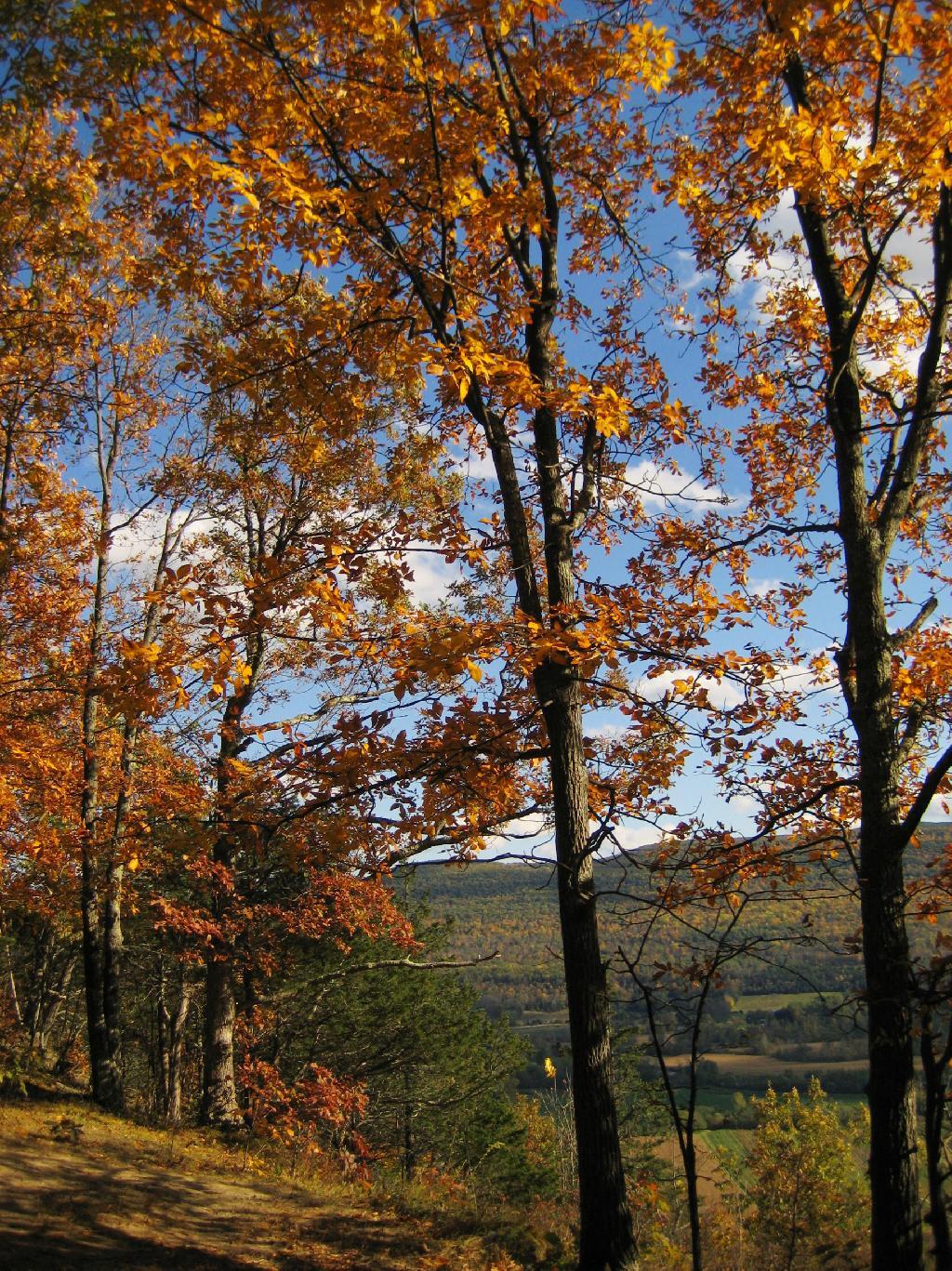
Here is Stamford, NY, looking off the mountain early on October 12th. They say on a clear day, in the distance you can see out towards Oneonta, or at least Hartwick College high up on the hill.
This is one of the amazing views looking out of the windows from the cabin of the fire tower.
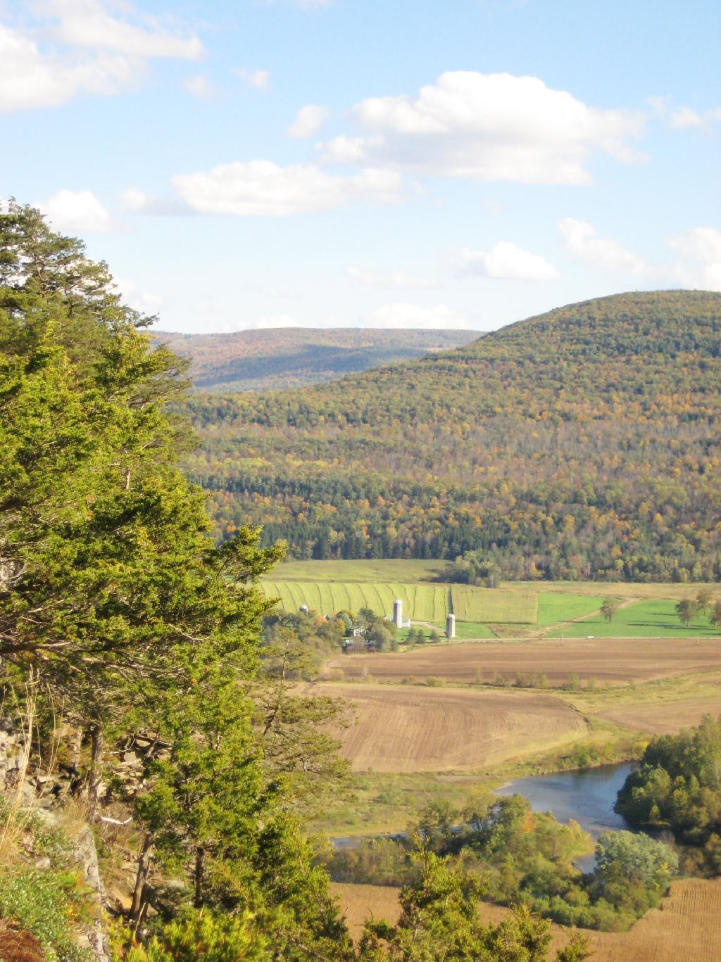
Here is Churchhill Mountain in the foreground, with Lyon Mountain and Cowan Mountains in the background.
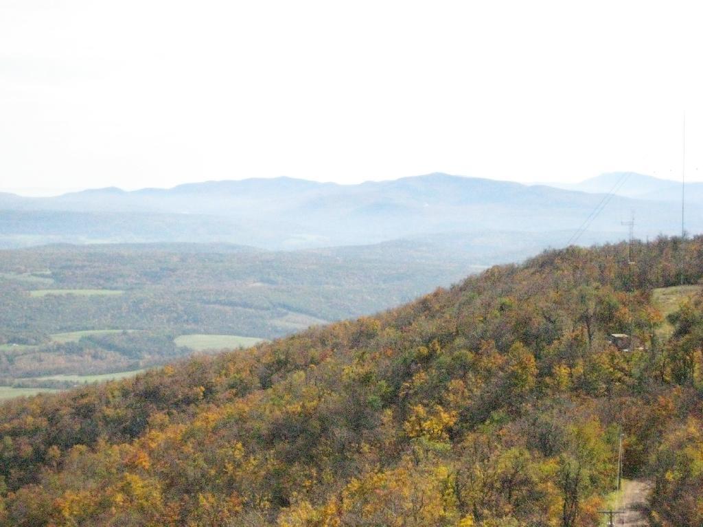
There are several radio towers on Utsayantha Mountain, which sometimes get in the way of pictures, but it’s still amazing what you see from the tower. In the background you see the area around Grand Gorge, and Irish and Pine Mountains inside of the park.
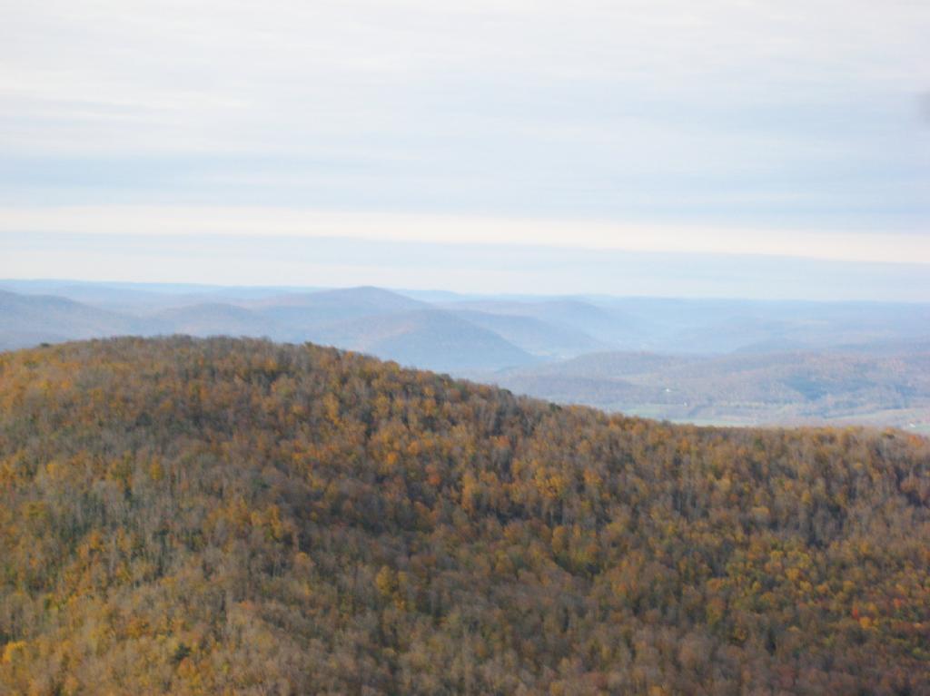
Here is the largely forested area north of Stamford, around places like Summit.
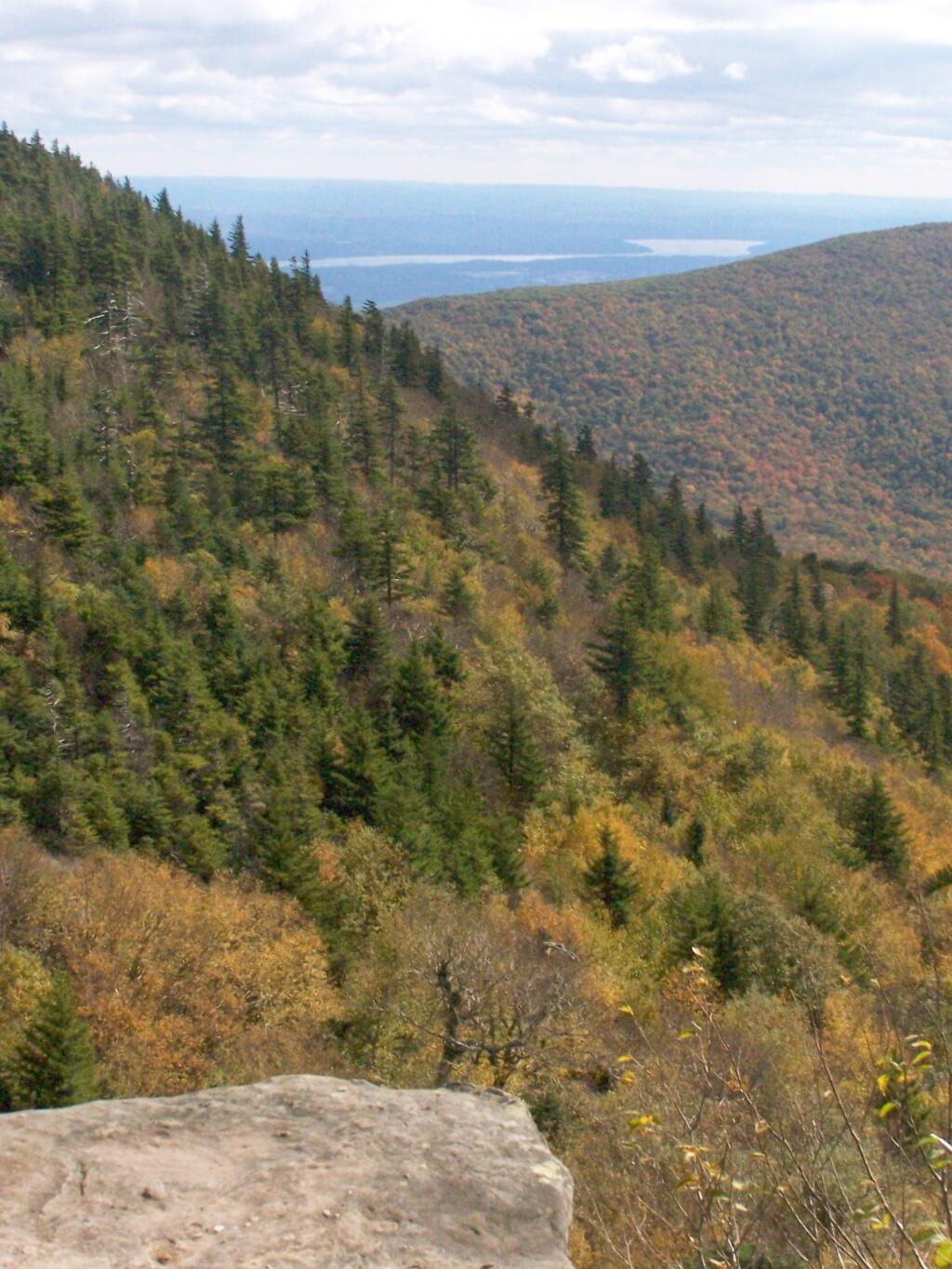
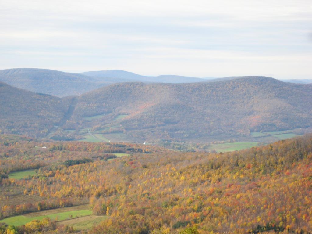
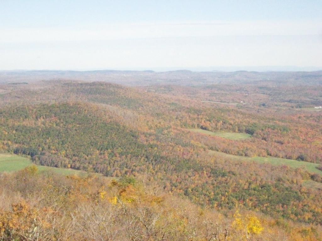
These are the many peaks around Roxbury, looking into the western Catskill Park.
The Mount Utsayantha Fire Tower.
If you ever heading over NY 23, heading back from Oneonta to Albany, or otherwise can take a detour from NY 30 in the area of Grand George, it’s well worth to take a drive up to Stamford, and then up to the fire tower.
The truck trail up to Mount Utsayantha is unmaintained in the winter. Once ice sets in on the trail, you’ll be pretty much limited to going up it with snowshoes or x-country skis (if your careful — it’s steep). It’s probably very cold and windswept in the winter, but the views are probably still amazing.
Here is a map. To get there, take NY 23 East from Stamford to Tower Mountain Road on the outskirts of town, then drive Tower Mountain Road for about 2 miles, until you reach the top of a ridge. You can park from here, and either hike/snowshoe “Utsayantha Mountain” the dirt road a mile to the top or drive up it in nice weather.
After visiting Mount Usayantha earlier in the afternoon, I drove down to Vromans Nose to climb it, and take in the views on a wonderfully warm fall afternoon.
The colors along the hills gracing Vromans Nose where somewhat faded and past peak, but they still where quite amazing.
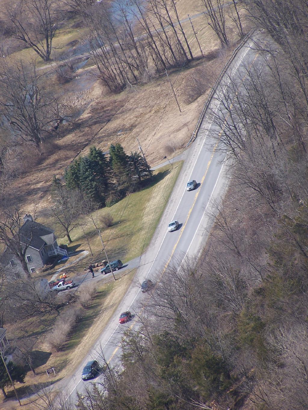
As I looked down along NY 30 and the Octagon House.
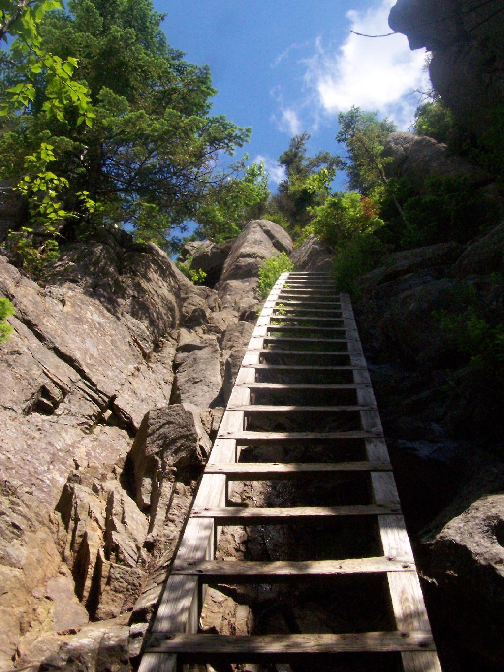
Then proceeded down the cliff.
A map of Vromans Nose. I drew these trails up from memory, they should be rough estimates of location of trails and not exactly GPS tracks.
I have a fear of heights. The more time I spend climbing up the side of mountains, hiking up fire towers, and working in a high rise buildings, the fear diminishes, but still is very much a real fear.
When I was young, I used to be afraid of escalators, and even walking out by a window of a high rise building. None of those things evoke much fear any more. After climbing mountains, I quickly hike up fire towers — even at night, with little fear. I like to look down, and look at the scenery around.
Yet, I still have a fear of heights, particularly of slipping and falling on the edge of a mountain trail or down a rock face. While this fear is rational, to a degree, it does bother me at times, and keep me from getting pictures or enjoying certain sections of a hike as much as I should be.
I guess it’s rational to realize that when a trail follows a potentially deadly 50 feet drop off one foot away, to be a little bit scared. I just wish I felt less concerned about looking off the trail and enjoying the vast scenery that can be seen rather then keeping an eye on the trail.
You can notice the general lack of photographs I have trails that run along the edge of mountains. It’s because I’m just too darn scared to take out the camera.
I was wondering how big the New York City-metro area is compared to other regions in our state. What does New York City-metro area look like compared to Albany County, the Plattsburgh and North Country-area, and the Ithaca-Watkins Glen Finger Lakes-area?
All of these maps are exactly the same scale, 75 pixels per 5 miles of real land below it. You can visually compare the size with these maps, and look at urban density and farm uses, via the color of the land below. It will not display in the RSS feed or Facebook, so view at andyarthur.org.
New York City-Metro Area.
This map includes part of Westchester County and Nassau County, but gives you an idea of the size of the metropolitan area that is most associated with what people think of when they think of NYC. Not all of this area is highly urbanized, much of the surrounding area that appears with higher levels of green is suburbs.
As you can see the New York City metro area would cover all of Albany County, plus significant portions of Northern Greene and Eastern Schoharie County. You could easily fit Albany and Schenectady within the borders of New York City, along with surrounding suburbs. NYC is not only populous, it’s also fairly big.
Clinton County is much larger and rural then Albany County and New York City. There is relatively less of Essex and Franklin County in this map then there is Westchester and Nassau County in the NYC-metro map. Even Albany County appears small compared to Clinton County. Notice the darkness of the highly-forested Adirondack Park, and the light green of the fertile Champlain Valley farmlands.
This map shows Ithaca and Watkins Glen. You can see the public forest lands and pastures of the Finger Lakes National Forest, Sugar Hill State Forest, Ithaca, and Watkins Glen. You go into the Allegany Mountains in the south and in the north the sloped landscape that is the norm of the Finger Lakes.
There are around 25 active municipal waste landfills in our state, all of them located in Upstate New York. Here are some arterial views from Google Maps from the 10 closest active municpal solid waste landfills to Albany, NY. Feel free to zoom out to see surrounding landforms, notice developments, farm lands, and other things impacted by these trash dumping sites.
1) Albany City / Rapp Road Landfill.
Located in the Albany Pine Bush, a globally unique Pine Bush ecosystem, it is undergoing an expansion that will condemn 15 acres of this rare habitat. With no more land to expand on without expanding into high-quality Pine Bush, it’s likely to close in a couple of years.
Located on the Mohawk River, it is located north of the town near several smaller subdivisions and some of the suburban towns remaining farms. It recently was expanded, and there is concerns about pollution to neighbors and the nearby Mohawk River. Neighbors have claimed to have wells contaminated, and are concerned about impact on the river. Litter is a real problem.
This landfill was expanded in 2004, and as of 2008 is at about 60% of capacity. It serves Fulton County (owner), and also the MOSA communities (Montegomery-Otsego-Amsterdam-Schoharie) and downstate sources.
Located about a 1/8th of a mile, in the bend of the Saranac River, about 5 miles west of Plattsburgh, it takes trash from the North Country and far beyond at a low rate to make the county money. It was privatized about a decade ago.
This landfill near the Candian Border in the Town of Constable, Franklin County, is in the permitting process for a massive expansion, so the county can import more garbage and make more revenue off it.
A relatively small county landfill serving the trash disposal needs of Chenago County. It is located near East Pharsalia, about twenty miles from Norwich. It has suffered from low revenues in recent months.
Located near Boonsville / Town of Ava, this is the state’s newest landfill, providing 62-years of theoretical capacity for the Oneida-Herkimer communities. Permits for the landfill where granted about three years ago, and that’s why it’s not seen yet on this former farm field. It has been subject to significant controversy.
Please use care when disposing of your human waste. Use an outhouse when possible, always do your business 150 feet or more away from water. Don’t bury toilet paper, bag it and burn in the next campfire instead. Keep our forests clean!
— Andy
One of the things that strikes me as a problem in the great outdoors is how people don’t know to take care of their personal waste, particularly their shitty toilet paper and dirty tissues.
There are people who wouldn’t think of littering a candy bar wrappers, tossing a glass beer bottle over the side of a mountain, or dumping the remains of roofing project in the woods, are quite happy tossing tissues along the side of the trail, or leaving used toilet paper blowing in the wind.
The worst is when you find it nearby water or maybe nearby some place where you might want to camp. I don’t want my water messed up with giardia or beaver fever. It’s just disgusting, because it’s clear evidence of water contamination.
Shitty toilet paper….
just plain disgusts me to no end.
Yet, there is an alternative. Do not shit near water, trails, or campsites. This will keep your butt from showing and protect our water supply. And just make sure to pack out and / or burn any toilet paper you use. Bring a plastic bag, toss your paper after using in there, and seal it up.
If you have a hot campfire, toss the bag of shitty toilet paper in there and let it burn. As long as the fire is hot, it won’t smell and will be gone instantly. The thing is you don’t want to leave toilet paper around, for the next person to find, when some animal has dug it up and dragged it out along the trail.
Alternatively, use leaves. They aren’t as great as toilet paper for wiping things up, but if you don’t want to take your toilet paper home with you or burn it, do the right thing, and just use leaves and bury them far from the trail.
Do us all a favor. Don’t leave used toilet paper or tissues as a present for all to run into in the woods.
Joesph Davis State Park was one of the series of parks built in Niagara County during the 1950s when the county under went major changes, as the Fort Niagara Military base was turned over to state hands and then turned into the Robert Moses Parkway, and a series of parks. On weekends in the summer, there is a fee to park a car in the picnic area, and hunting is allowed in season.
Sadly, most of this area was not well maintained or even well developed. The land is flat, but it is still interesting with a series of small ponds and trails that wind through it.
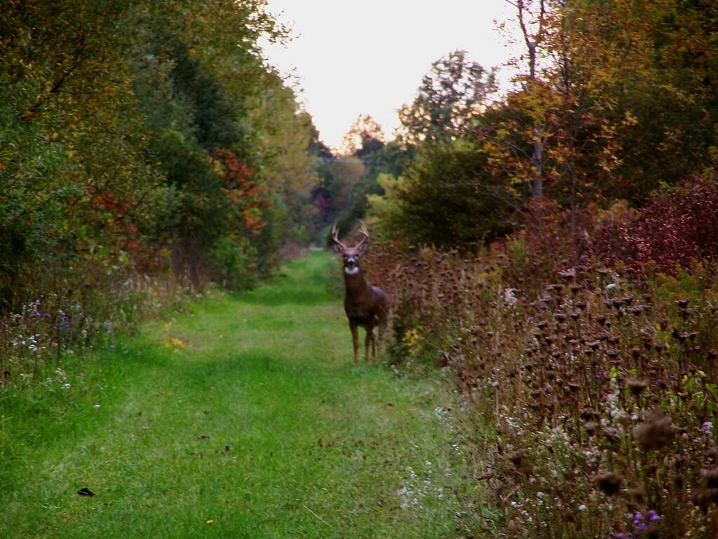
There was all kinds of wildlife through out the area, including this nice looking buck.
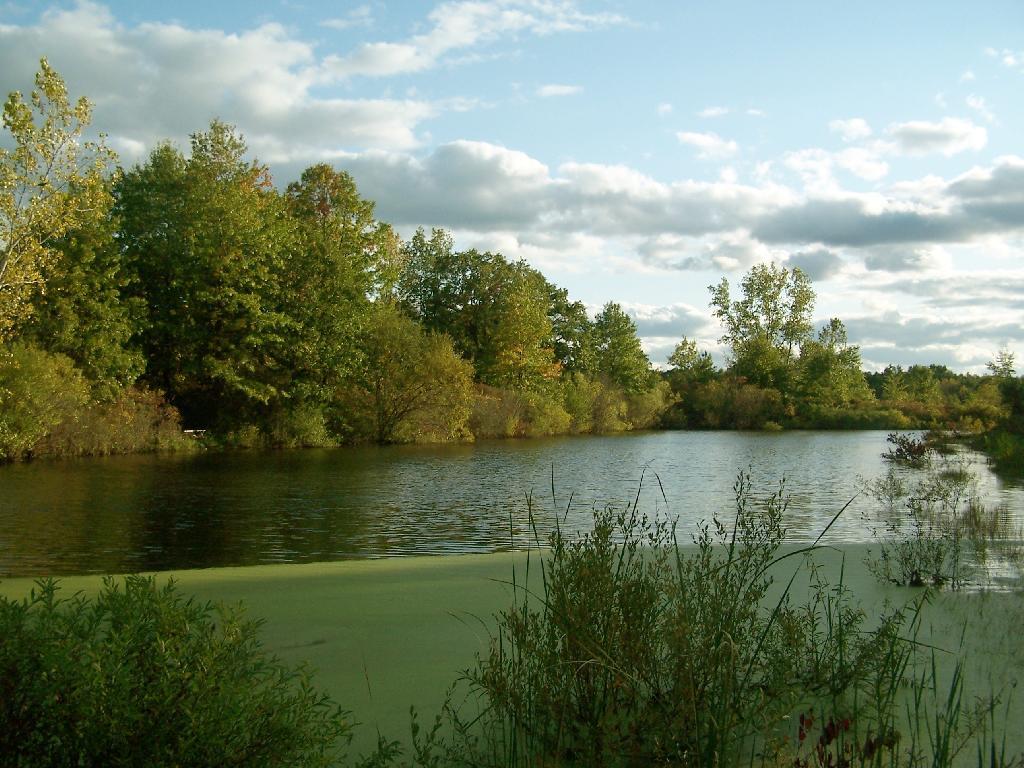
This pond was pretty.
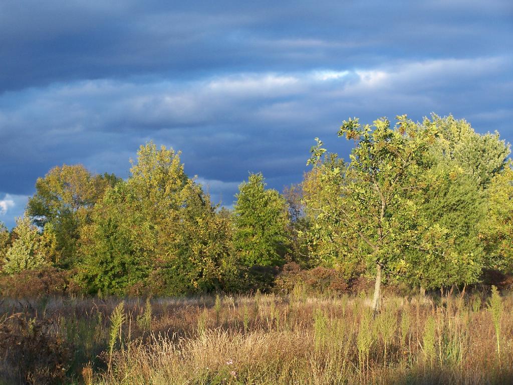
As the evening approached, the sky darkened over the east, but sunrays lit up the foreground.


![Untitled [Expires May 4 2026]](https://andyarthur.org//data/photo_003800_large.jpg)