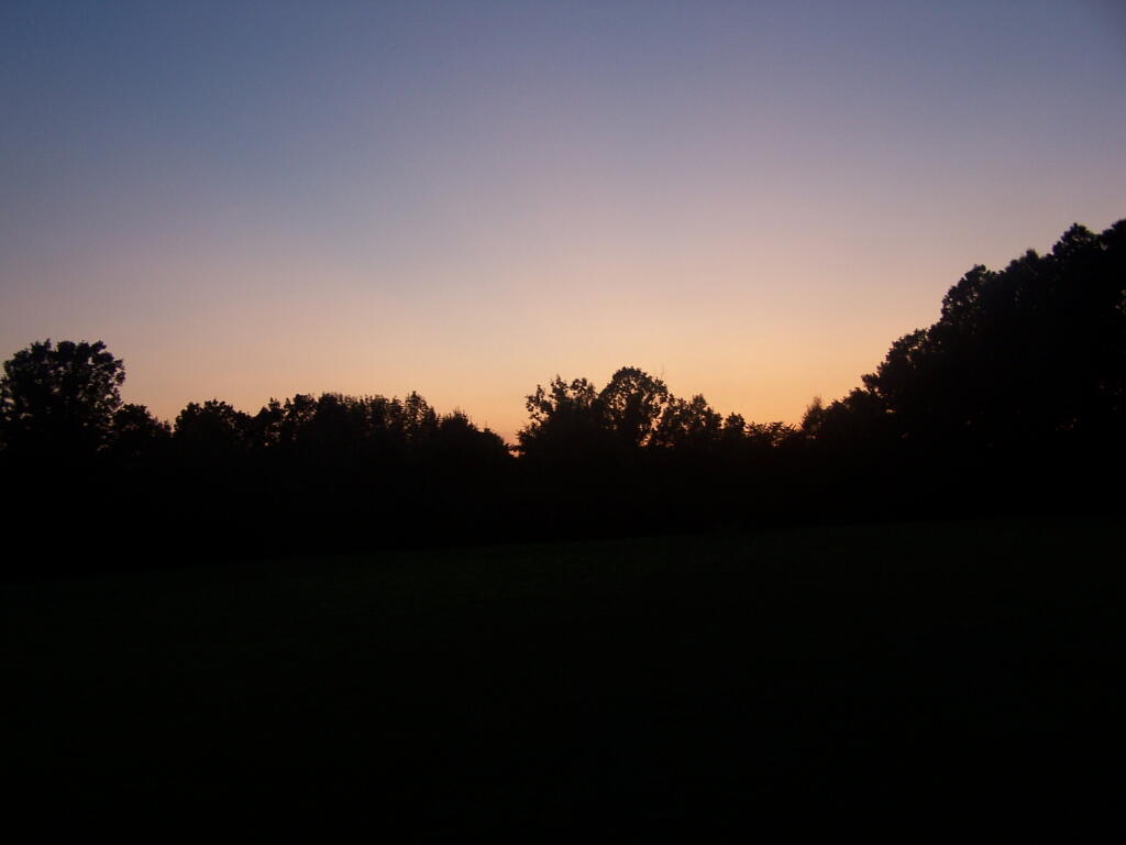
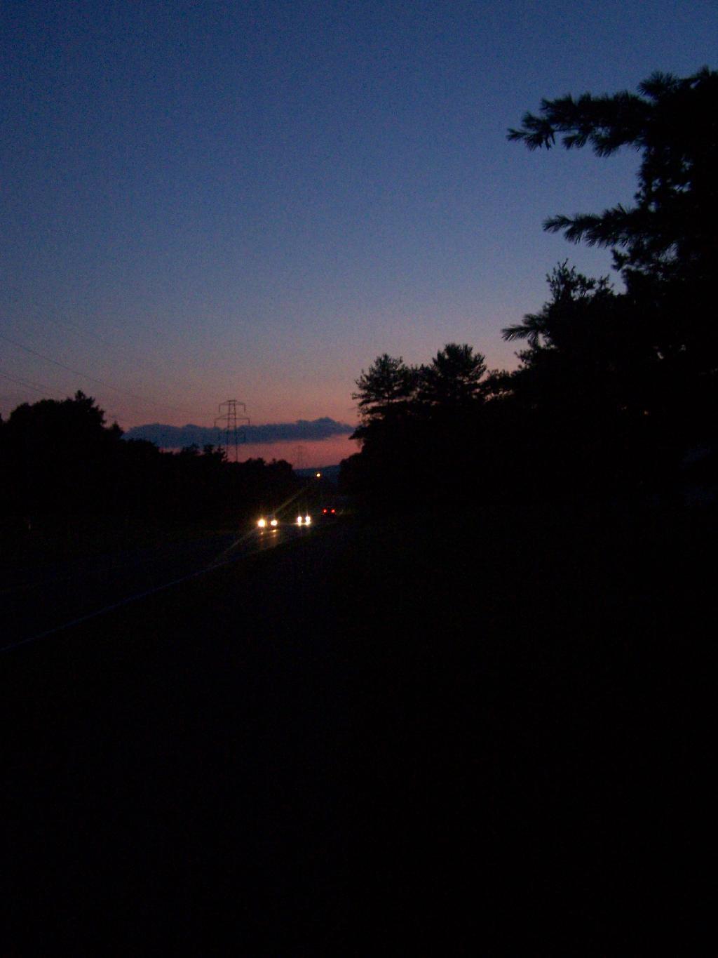
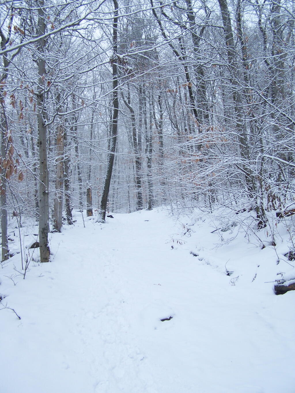
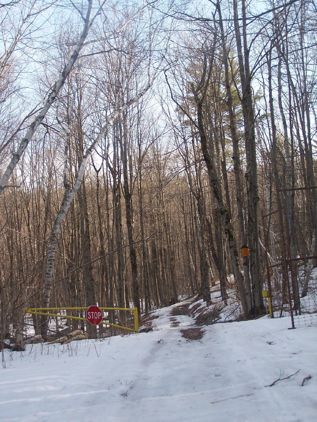
One of my favorite activities is the evening walk. I go out almost every night for a 2.5 mile walk, to spend about 45 minutes clearing my mind, looking at the stars, and just observing nature. It’s a chance for my legs to get out and stretch, and to enjoy some fresh air after a day stuck in a stuffy office.
I go out nearly every night regardless of the weather. Sometimes it’s hot out. Other times it’s frigid and the cold winds are blowing snow in my face. Sometimes it’s raining. Other nights, it’s totally pleasant, and I see half a dozen different people walking dogs or going down to the local convenience mart.
I really dislike missing my evening walk. I’ve been doing it for almost 6-years every night, and when I miss it I feel as though I am missing something important. My legs don’t feel right just heading home. I think something important is missing in my day if I miss the evening walk.
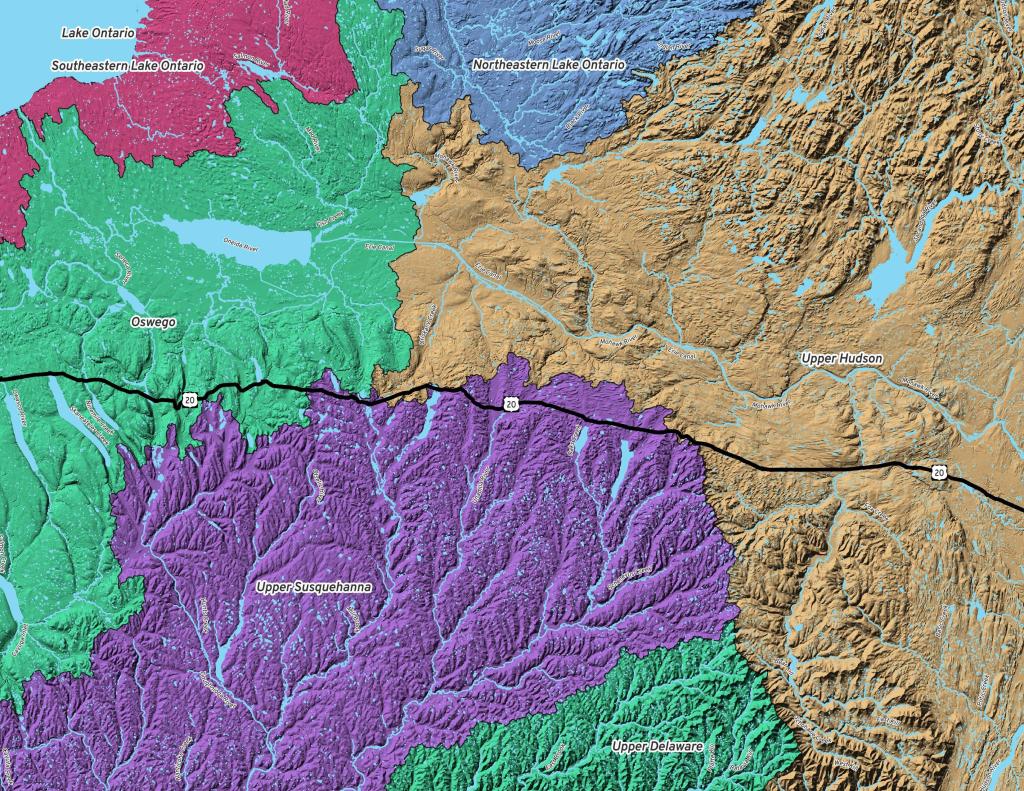
The Commerce Department announced last week that 38% of Americans choose to live without high speed internet in their houses. I am within that group.
The biggest problem with high speed internet is it’s quite expensive. Most of the plans I see advertised in Delmar are about $80 a month. That equals $960 per year, or probably in the range of $1000-$1100 a year with taxes and fees. That’s a lot of money that I could be saving or using for other purposes.
My parents are quite happy with their $5/month dial up Internet Connection. Dial up might not be fast, but it gets the job done for all the basics. Getting High Speed Internet out where they live would be even more expensive.
Internet access is not an essential, that one particularly needs. While it is nice to be able to check one’s email or do certain other tasks online, there is always the local public library that provides high speed internet access.
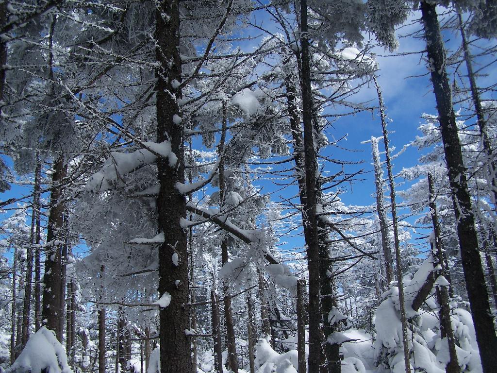
On Sunday, February 21, 2010 I got up at 5 AM and started out on the Spruceton Horse Trail to Hunter Mountain around 8 AM. Previously I went up Hunter Mountain using the much steeper Mink Hollow Trail, which in a couple of parts would be challenging to snowshoe for a novice like myself. The Spruceton Trail is 3.5 miles and an accent of 1,900 feet versus Mink Hollow Trail at 2.1 miles and 2,200 feet accent.
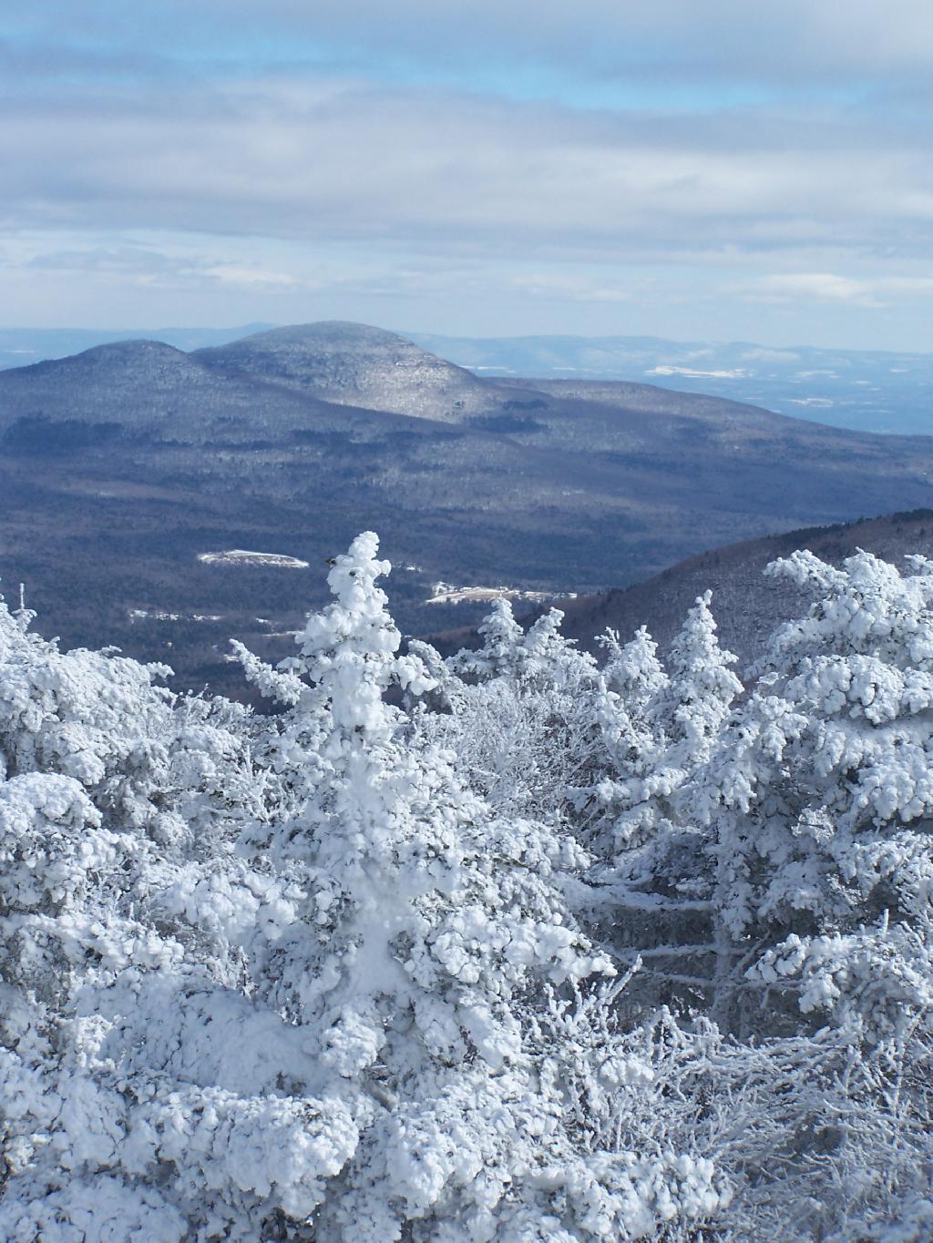
Here I am starting up the mountain, with trail-less high peak Rusk Mountain in the distance.
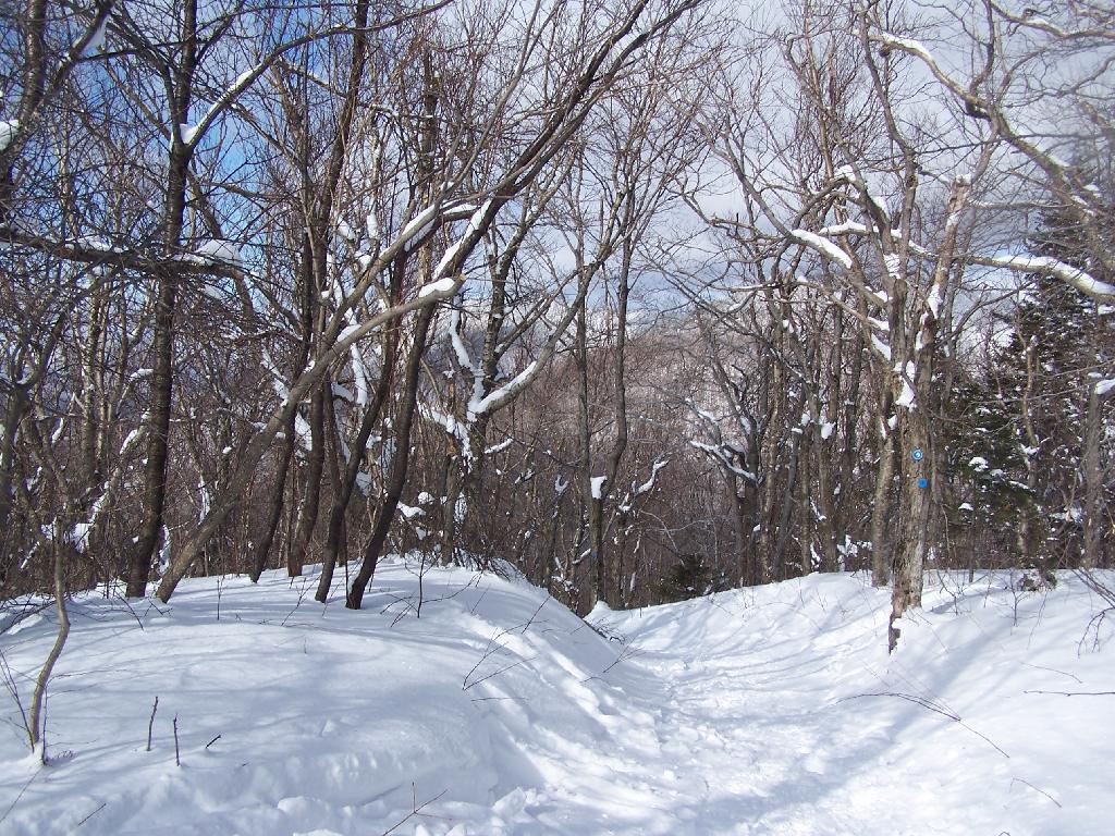
The Old Hunter Road (abandoned 1937) is straight, wide, and modest ascent. With the sun rising, I had issues with snow blindness, but it offered some interesting broken views of West Kill Mountain in the background.
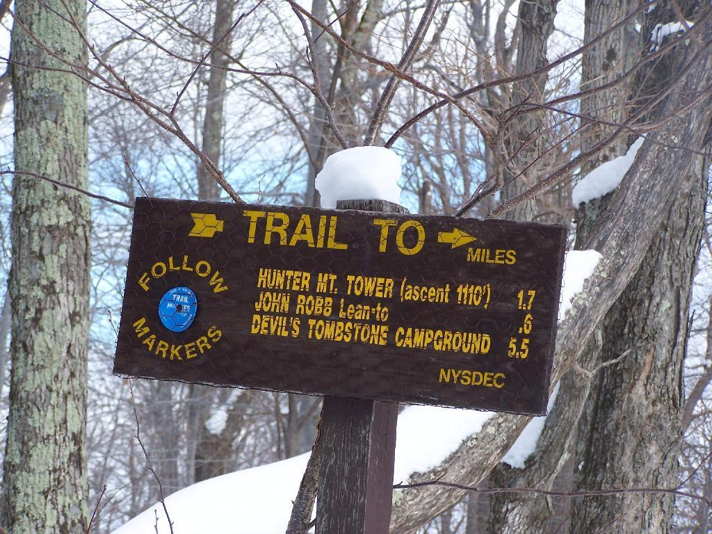
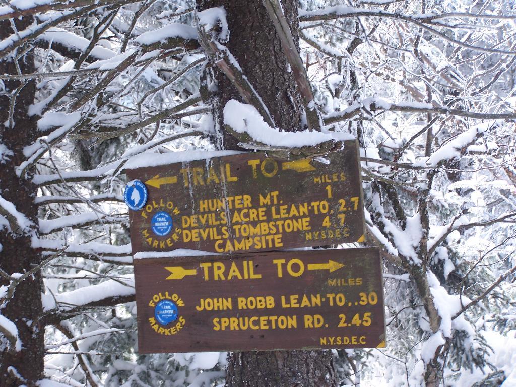
About half-way up the Mountain, you reach the “saddle” between Rusk and Hunter Mountain. After snowshoeing for a little over an hour, with this sign telling you there is 1.7 miles to go, an accent of 1,100 feet is a bit discouraging, but so be it.
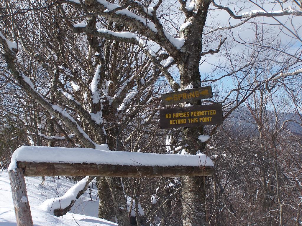
After about 2 hours of snowshoeing I reached the spring. The past half hour of hiking, from the saddle up to the spring, may not be a long distance at 1/2 mile, it is a vigrous but not not steep 500 foot ascent by an old but wide abandoned truck trail.
The AMC’s Best Day Hikes in the Catskills and Hudson Valley suggests that one has to be careful with drinking out of this spring, because thirsty horseback riders sometimes bring their horses back to give them a drink too, ignoring the sign.
From the Lean To, it’s approximately 1 mile to the Hunter Fire Tower. The next mile is either flat or a slight ascent, until you reach the last 1/4 mile of the trail where is ascent quickly with switchbacks, but again, not steeply.
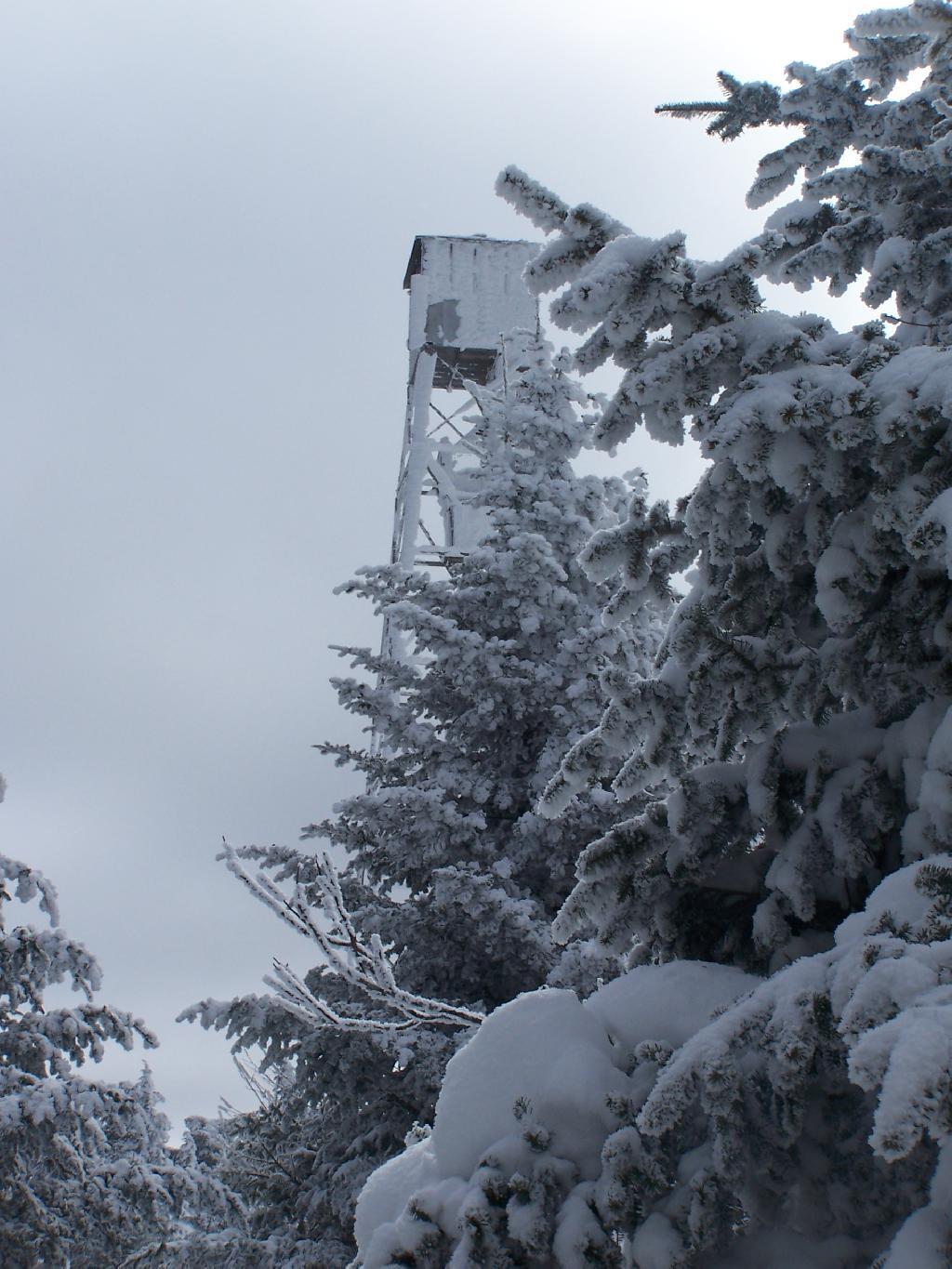
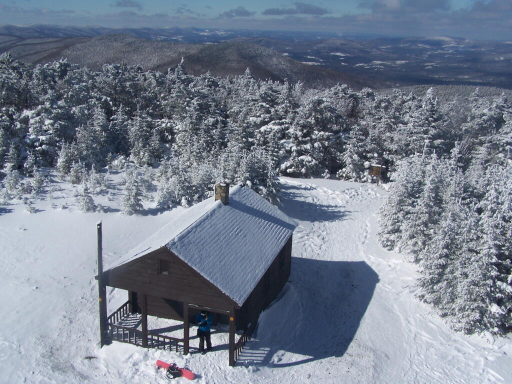
Finally after about 4 1/2 hours of snowshoeing (including breaks and taking photos), I reached the Hunter Mountain Fire Tower. By now it had clouded up, and it reminds one of a picture out of a movie.
It felt good to get the snowshoes off, stop, and have some lunch for an extended break.
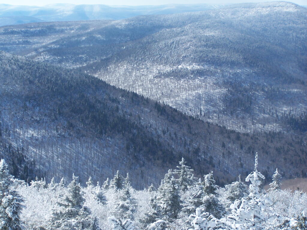
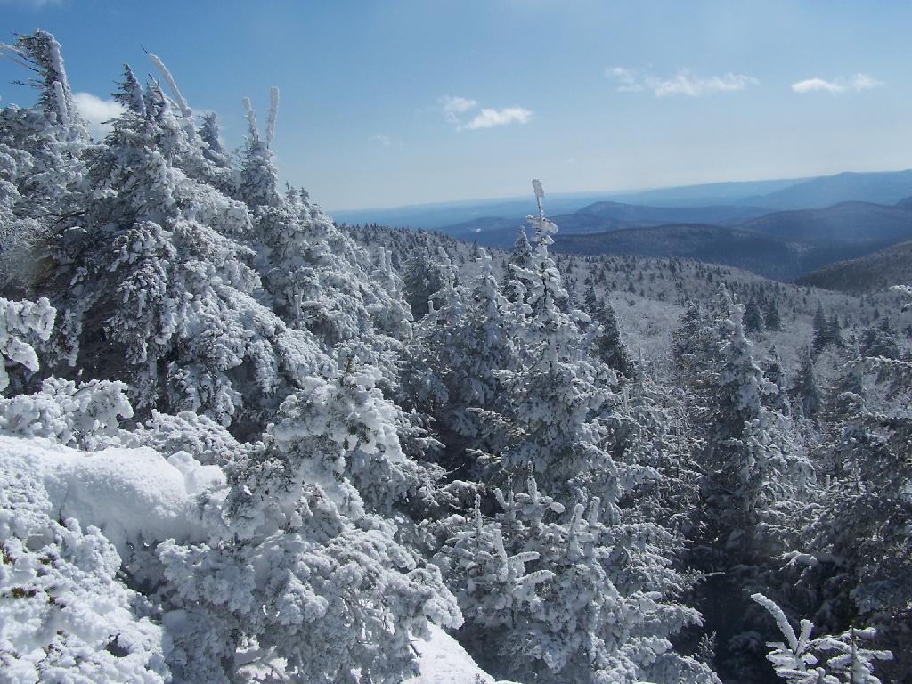
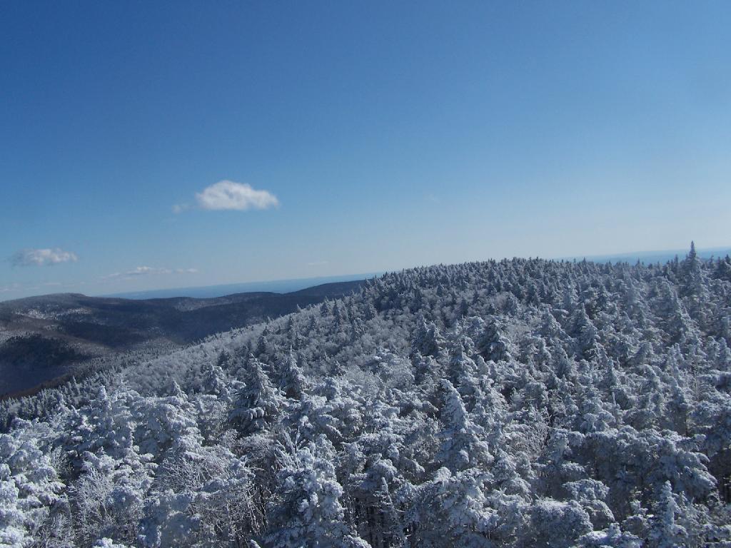
Looking North off the Fire Tower towards the Catskills famous TriMount-range aka Thomas Cole, Black Dome, and Black Head Mountains.
To the due east one can see Catskill’s Sunset Point, the upper Hudson Valley near Catskill, and in the distance, the Taconics, including the other Sunset Point in the Taconic State Park.
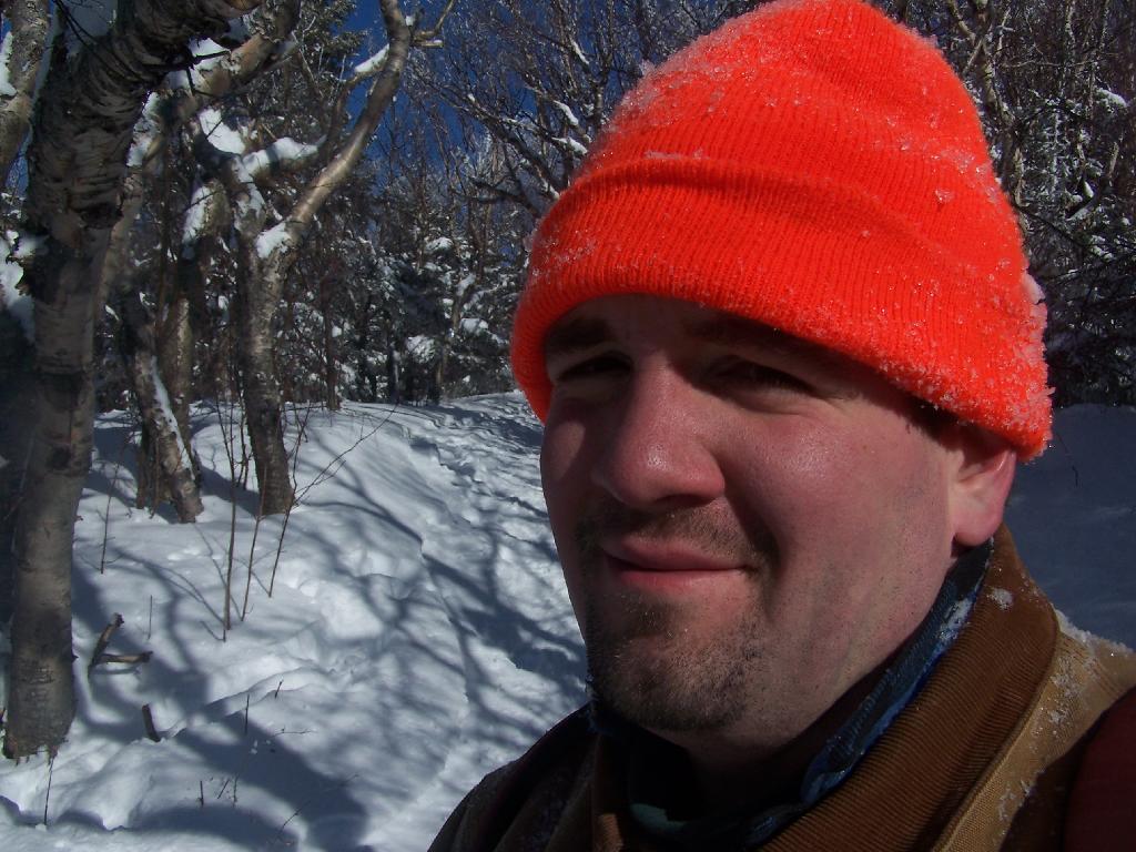
It was frigid on the fire tower with the winds blowing. Off the tower it wasn’t quite so bad. After spending a little time relaxing at the picnic table, and putting another layer of clothes on, I headed south along the blue trail to the Hunter Mountain Overlook which overlooks the South-Western Catskills.
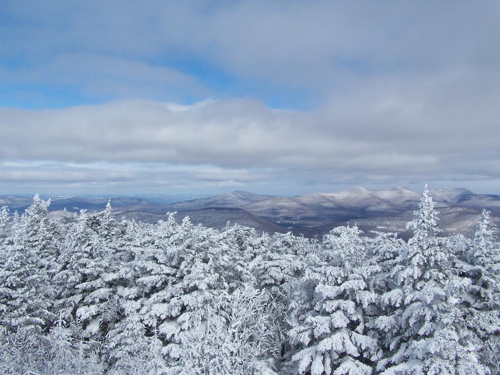
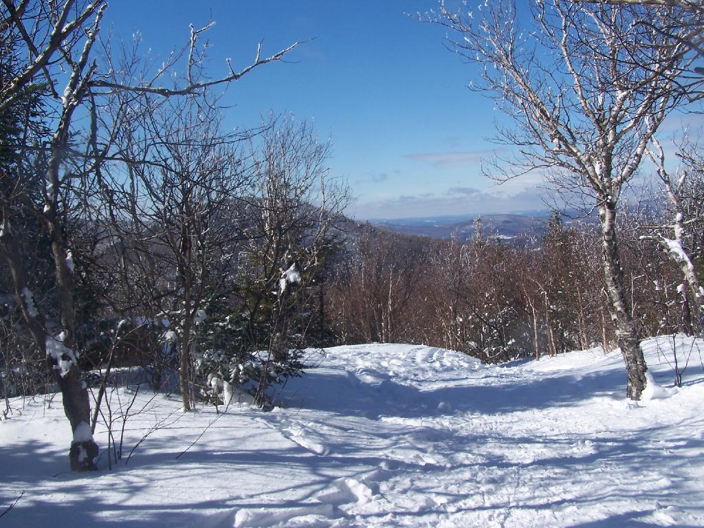
Reaching the Hunter Mountain Overlook, the views where quite amazing, showing mountains from Mount Tremper to the east to West Kill Mountain in the West.
The saddle between Hunter and West Kill Mountain. It was amazingly beautiful.
After taking half a dozen photos at the Overlook, I headed back to the Fire Tower, and went up it once again. Here I am looking to the North West towards Blenheim Mountain and Schoharie County. The former Hunter Mountain Ranger’s cabin is in the foreground, with a snowboarder who snowshoed with board on back from Hunter Mountain Ski Resort on the balcony.
Here is South Hunter Mountain, looking due South.
Heading back down the trail, looking at Rusk Mountain.
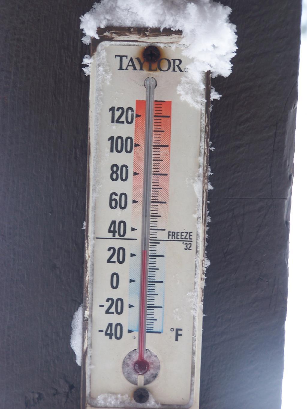
I arrived back to my truck around 4 PM. I was tired, as snowshoeing is a lot more work then hiking. Snowshoes kind of drag on the snow, and the cold just makes everything a bit more tiresome. Yet, the beauty was amazing even at a balmy 22 degrees.
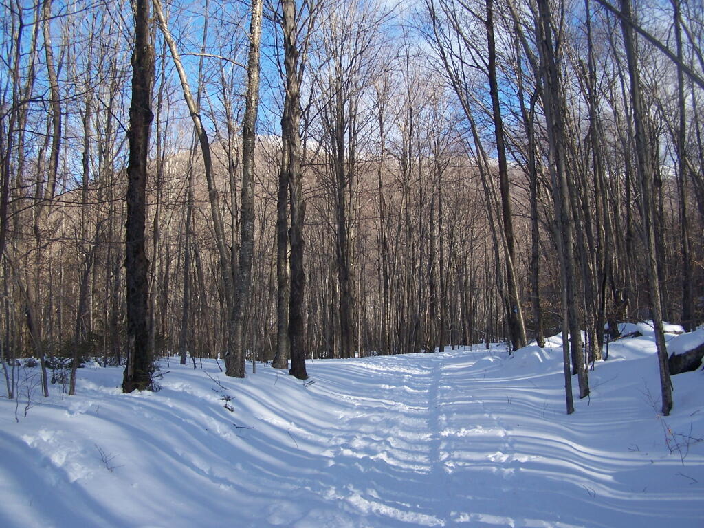
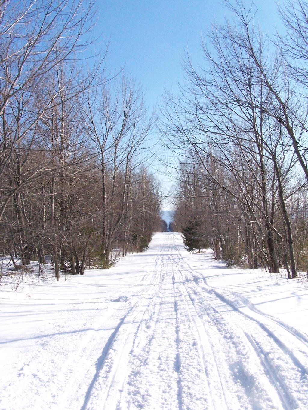
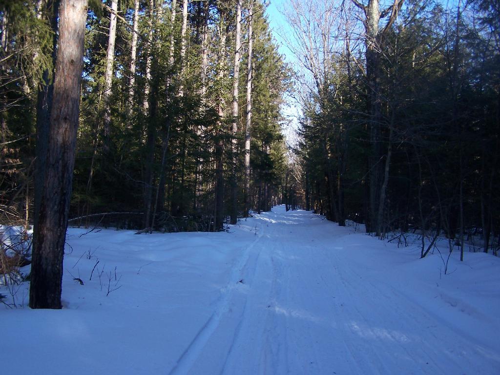
About two weeks ago on Presidents Day I went out snowshoeing at Rensselaerville State Forest. Previously one of my favorite places to camp and explore, I haven’t spent a great deal of time up there lately.
I parked off of CC Road. Going along Scutt Road you come to the point where it becomes plowed, and you can see Gensing Mountain (just north west of the Catskills) in the distance.
It used to be there was no designated campsites up there until 2007, when the state started posting four sites along main roads, along with “Camping By Permit Signs”. I used to camp off one of the truck trails in one or two places, and spent a great deal of the summer out there.
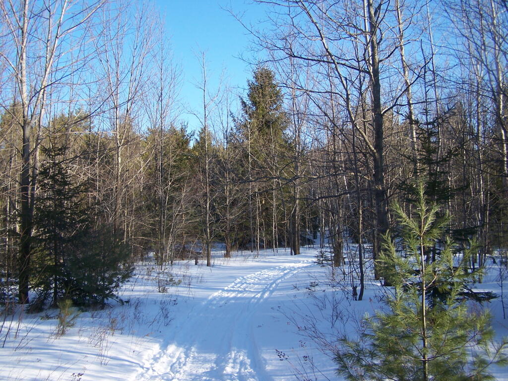
Snowshoeing along a truck trail. The truck trails up here are a lot of fun to drive in the summer, although they are bit overgrown and tight to drive, even with a compact pickup.
Looking North Towards Dutton Ridge, you can see a clearing where Livingstonville is located.
Here is the section where the field is reverting back to woods. I used camp out back here a lot in the past.
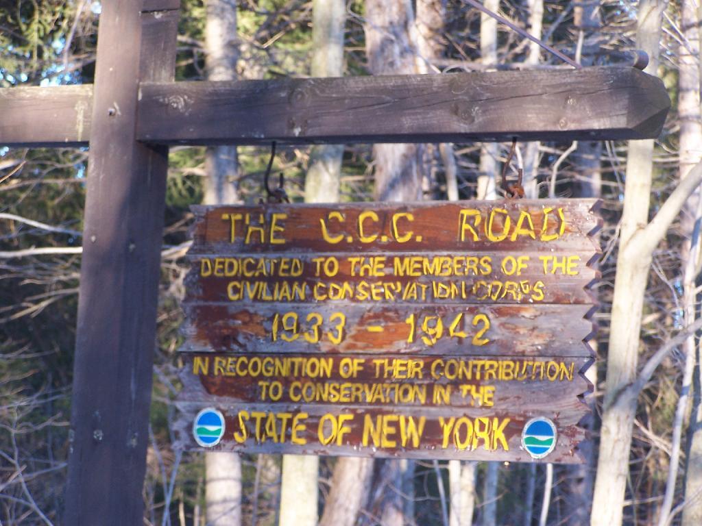
The C.C. Road sign recognizing the history of this preserve as an old CC Camp. The camp facilities where later developed into a youth treatment center, and now a training center for state park rangers, that currently is unused.
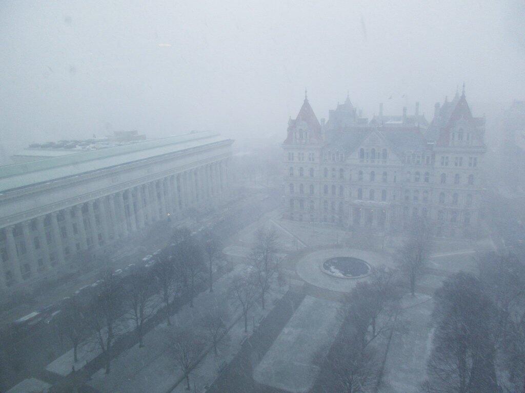
They say the darkest time of the night is just before dawn. The harshest part of winter is now upon us, the month of February. If there ever is a month of the year that is just nasty and terrible, it must be the month of February. This month is cold and wintry, following the previous two and half months of cold winter weather. It’s not fun.
February is the month when the cold breeze seems the coldest. It’s when the salt on the cars and the roads seems the harshest. It probably is not the harshest weather of the year, as already the days have gotten somewhat longer, and we are past the coldest days of the year, but it still seems like winter continues to have us in it’s fangs. Our heating bills will continue to be high.
February is going to be a tough month for all of us. Maybe Merle Haggard should have sung, If We Make It Through February. The only upside to this month is that once we make through February, it will be March which will eventually lead to a thawing out in April. The grass in April will be brown, and burn bans a-high, but then things will green up and the beauty of spring will return in May.
February is just a single month. It’s not the nicest month, but as all things come and go, it must come to a pass. Look at the upside — it’s the shortest month of the year! Maybe the Ground Hog this year, for the first time, will actually be right and say no to six more weeks of winter! Let’s make it through February and towards nicer weather in the spring.
The last weekend of January the snow melted away at Partridge Run and I was able to drive out to Fawn Lake with little problem, except for the road being a little bit soft.
I hiked down to White Birch Pond, where in the shady side of the mountain there was a little bit of snow left.
Walking along the headwaters of the Switzkill Creek at Partridge Run.
I have driven past Olana a dozen or so times. I last went up to Olana as a young child. I had read about it on Facebook, and knew it was free to wander the grounds from October 15th through May 15th. Driving by it I decided to go for a little stroll.
It is a truly delightful experience from the drive up on the twisty one-lane entrance and exit roads, and remarkable views all the way up. The road is paved, but is bumpy asphalt, so you will want to ease your way on up it.
Walking down the great lawn to south of Olana, looking at the views from the west of the Olana. A mountain.
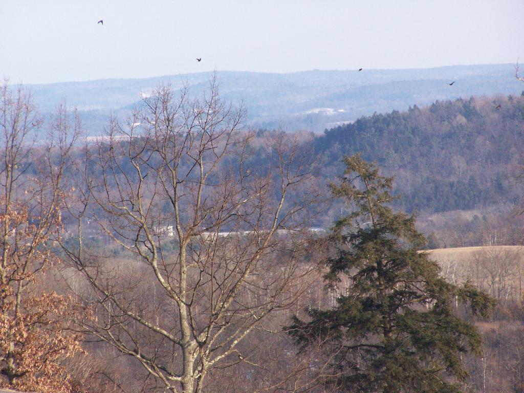
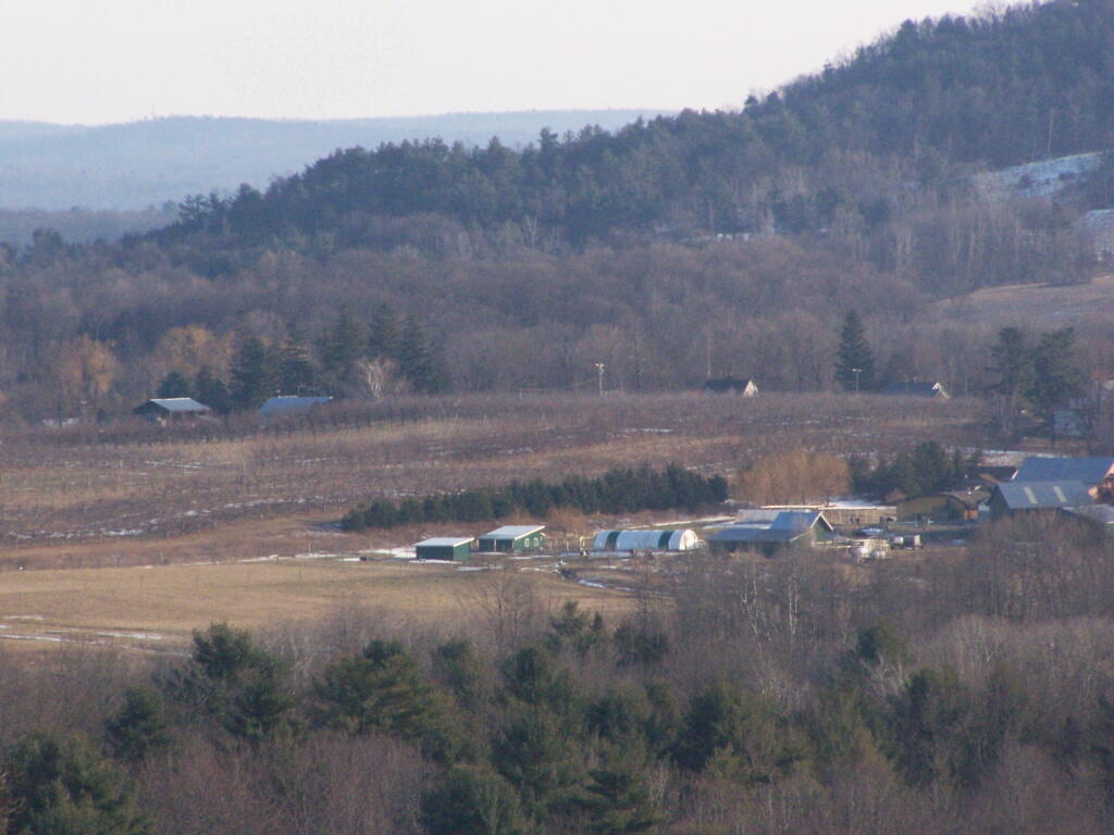
A small farm and orchard in the distance between NY 23 and US 9.
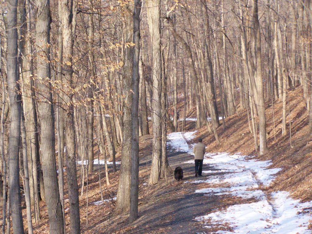
A person walks along the mid-parameter path.
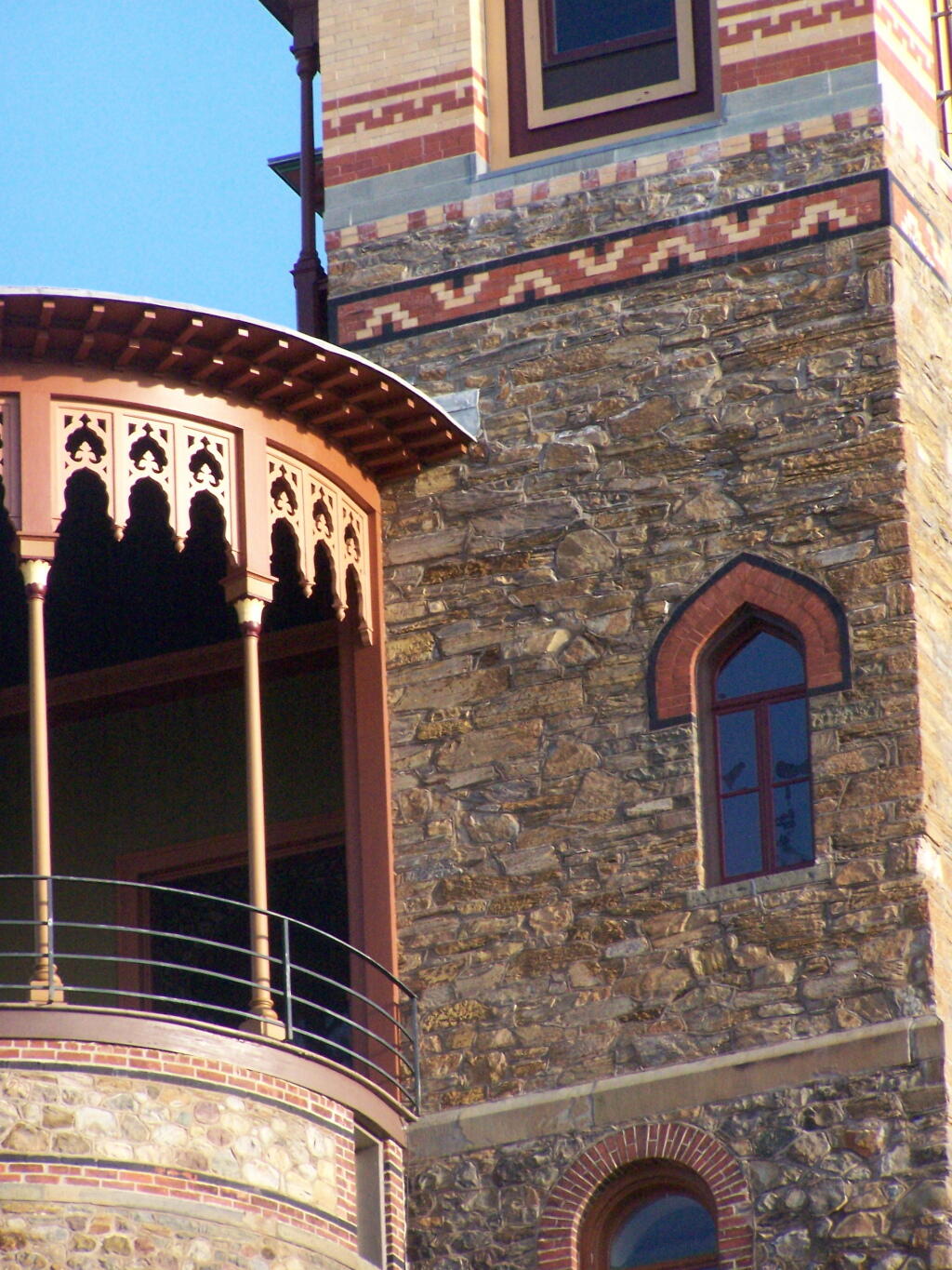
Olana Tower from the mid-parameter path.
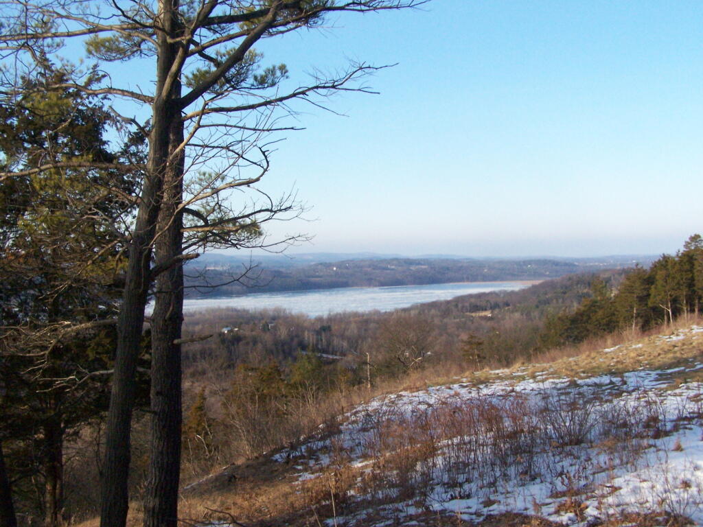
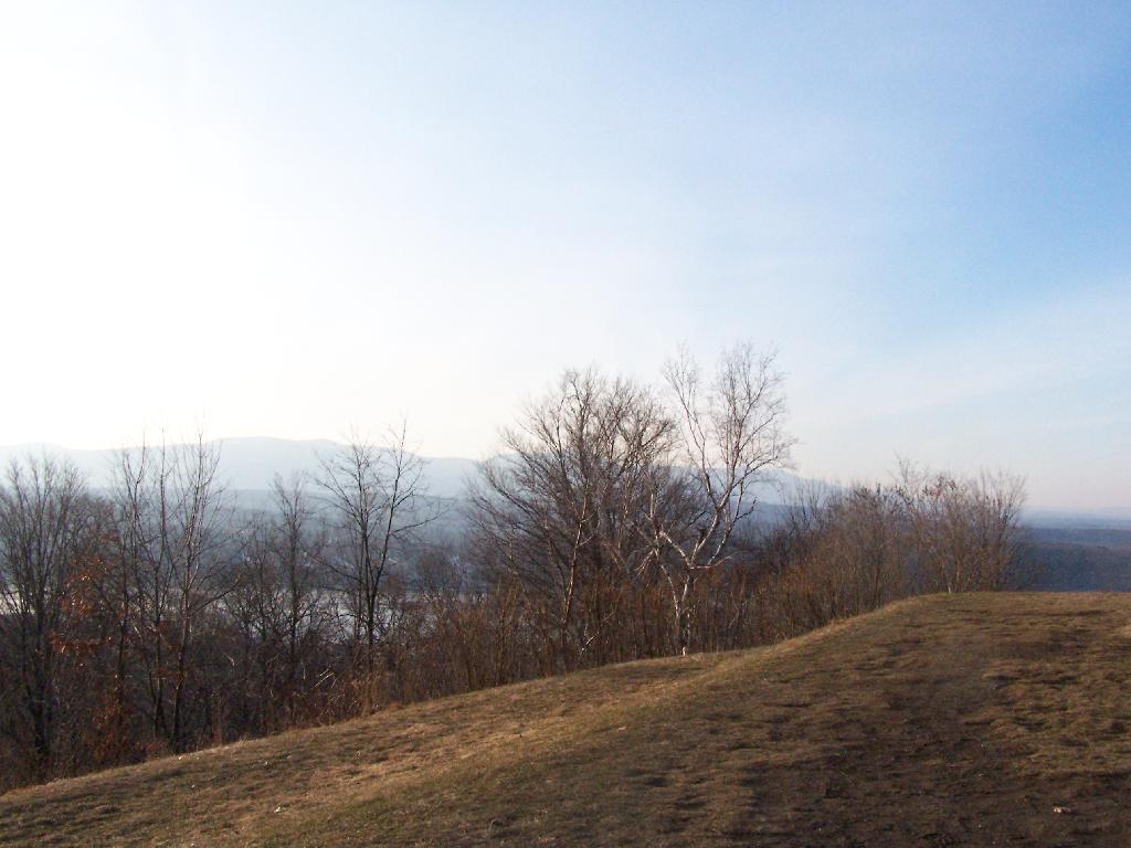
The Hudson River looking North.
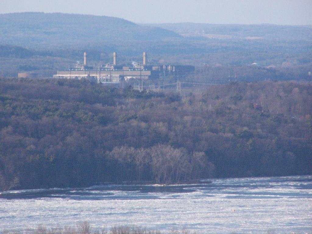
The Athens Natural Gas Power Plant.
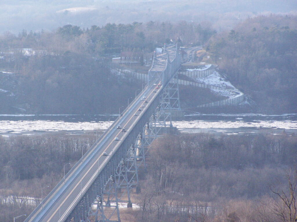
The Rip Van Winkle Bridge.
Walking along a clearing along the path.
The Catskill Mountains in the distance, with the Hudson River in the foreground.
On a section of Olana overlooking Hudson they are clearing out the area to provide better views of the surrounding trails.