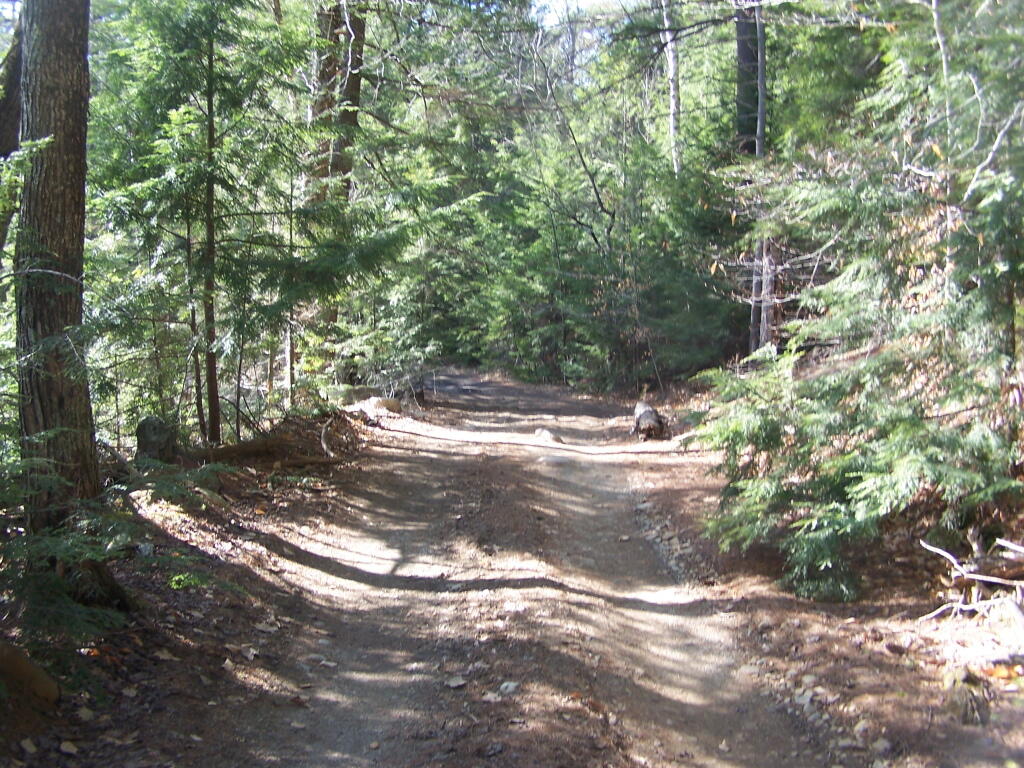
Kane Mountain is located next to Canada Lake, which is just north of Caroga Lake on NY 10. I hiked up there one evening, after spending the day hiking in the South-Central Adirondacks. It is a wonderful, quick hike, perfect after a long day of hiking or outdoor activities as one heads back to the Mohawk Valley or Albany as the case may be.
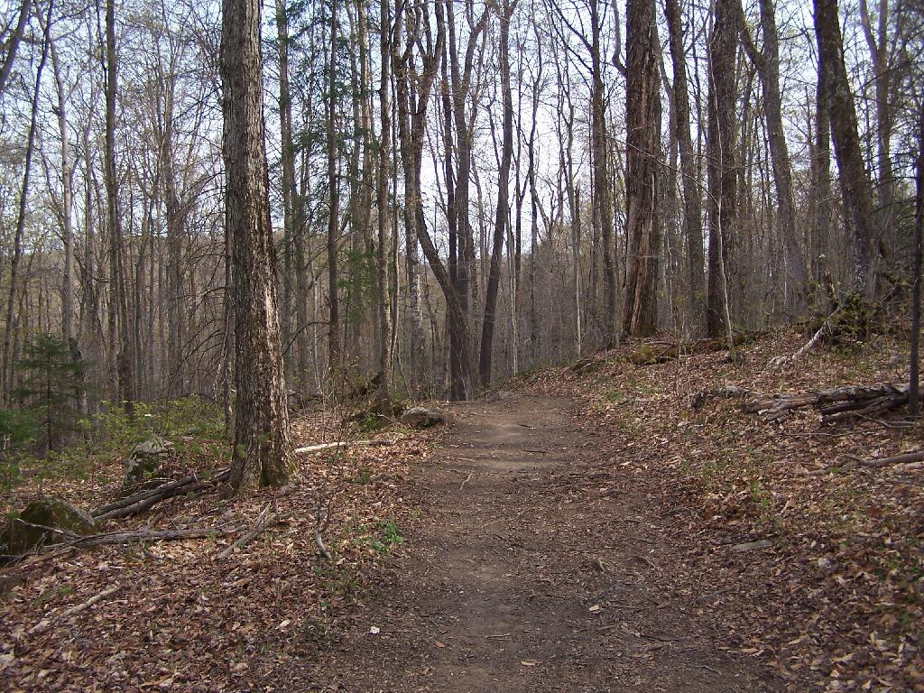
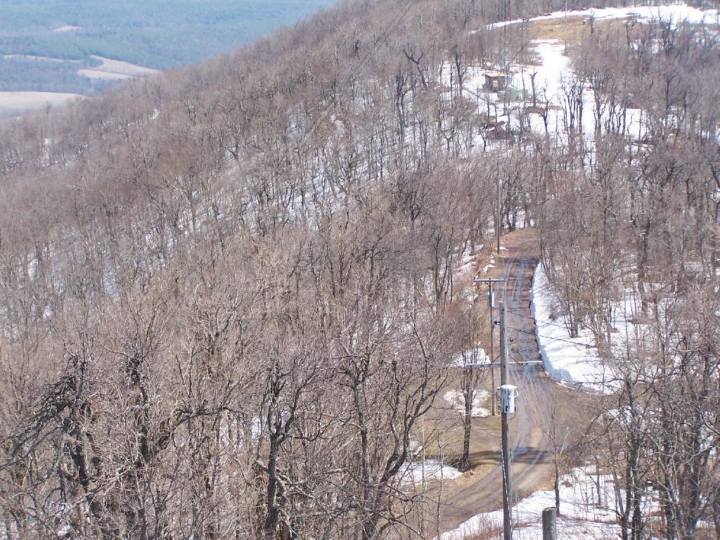
The trail up Kane takes you up about 500 feet in elevation over a 1/2 mile. It’s an old woods road, and well traveled, so don’t worry about hiking after dark if you have a flash light or even just moonlight.
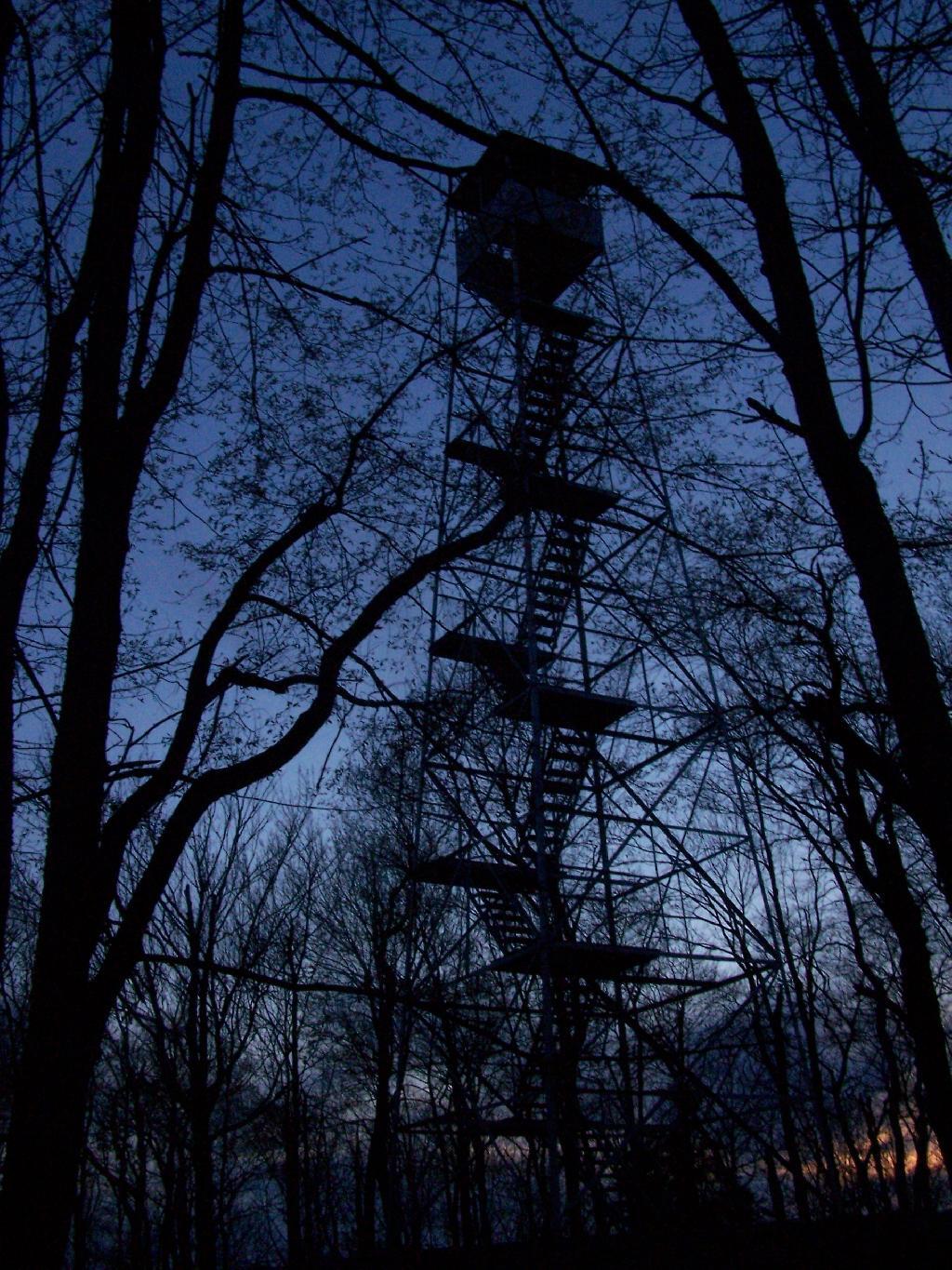
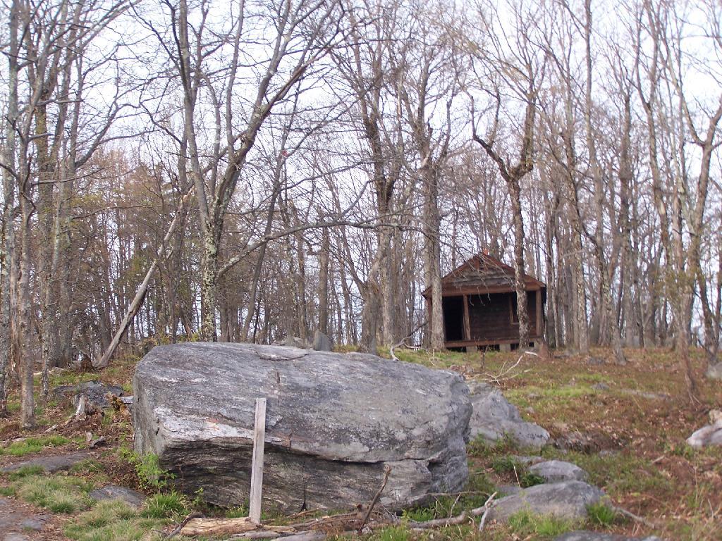
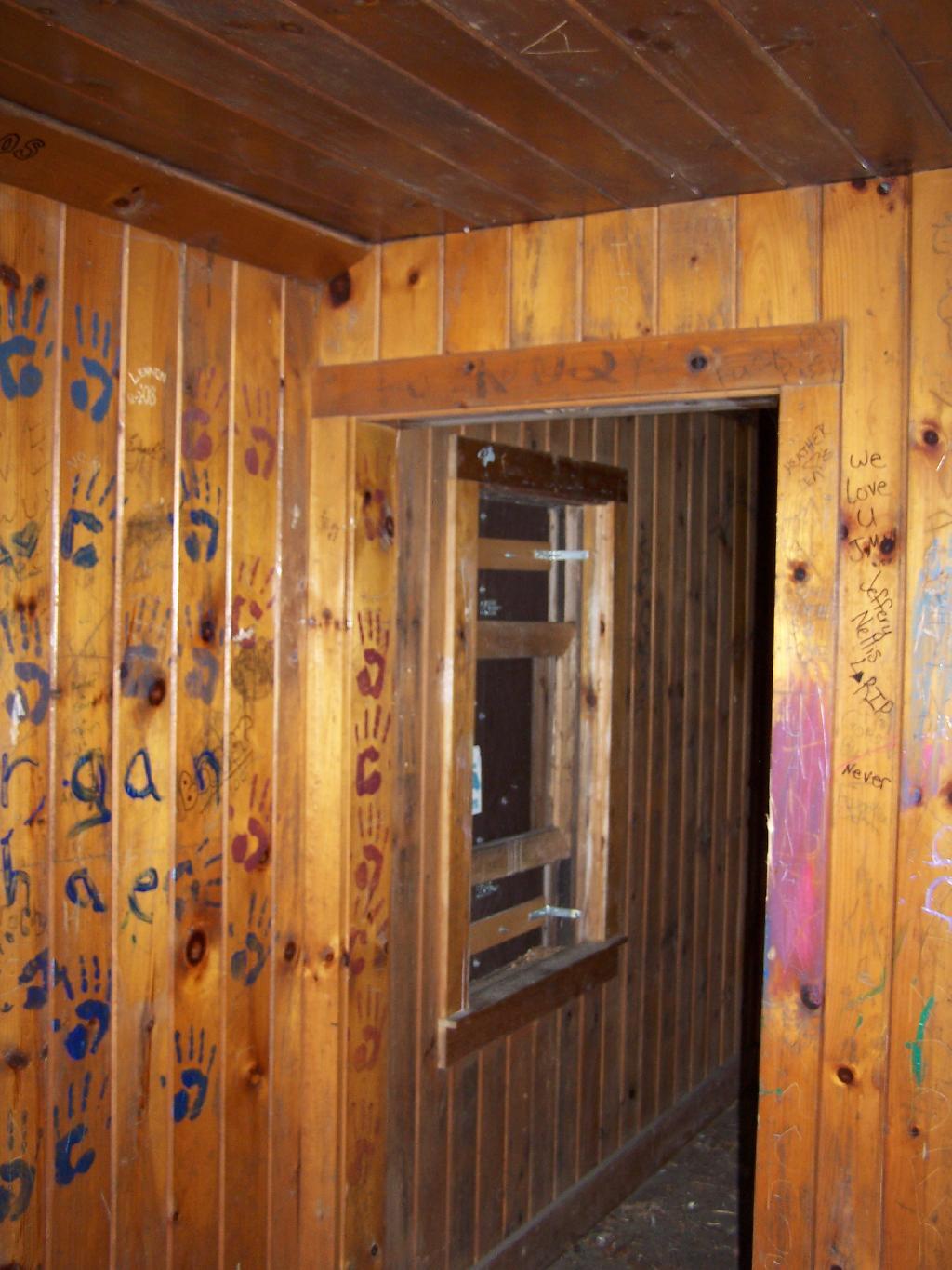
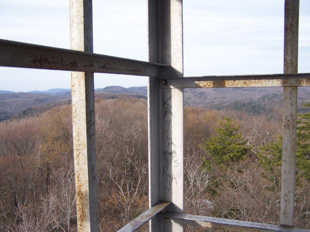
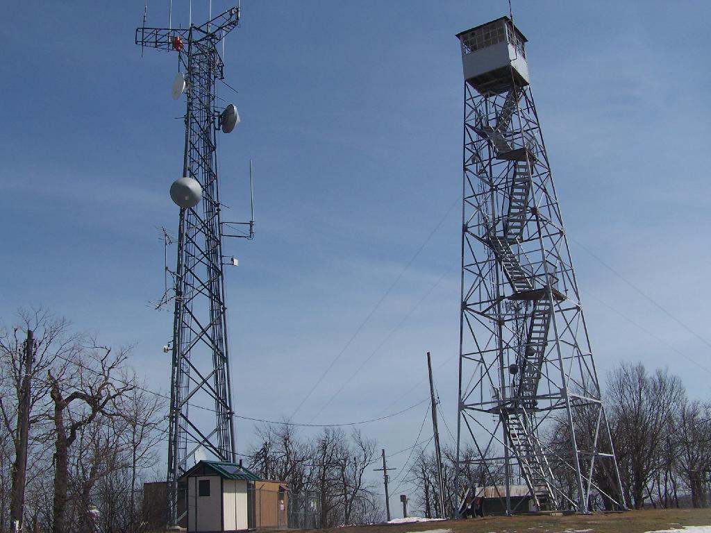
Reaching the top of the mountain you reach the Firetower and an old Forest Ranger’s cabin, which sadly has been broken into and vandelized. It still was interesting to walk in and take a look at the cabin, including the tiny little woodstove that once was there. The bunks and other furniture where long gone from it.
Remind me again why people have to be such pigs?
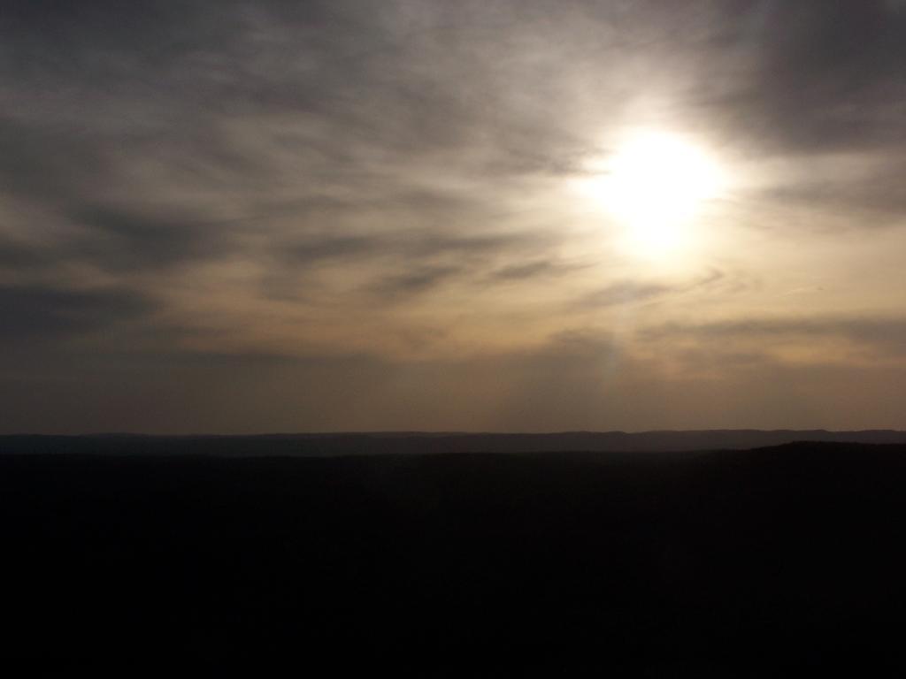
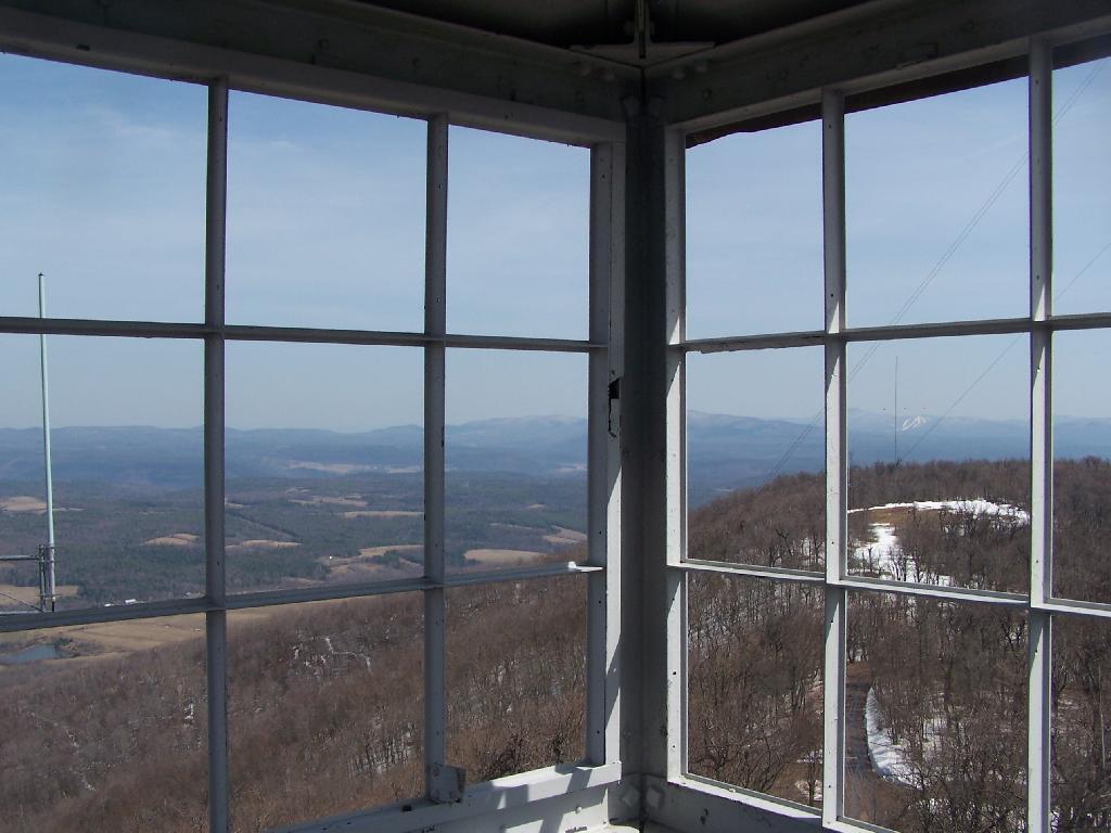
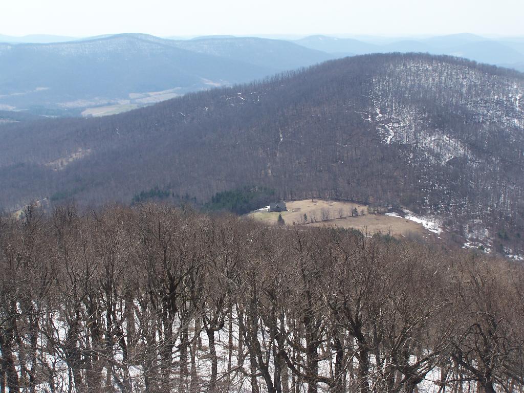
The Fire Tower has some really interesting views out of it, and it is an interesting place to watch the sun set from in the evening. Here is looking from the windows of the observer station, which have the glass removed.
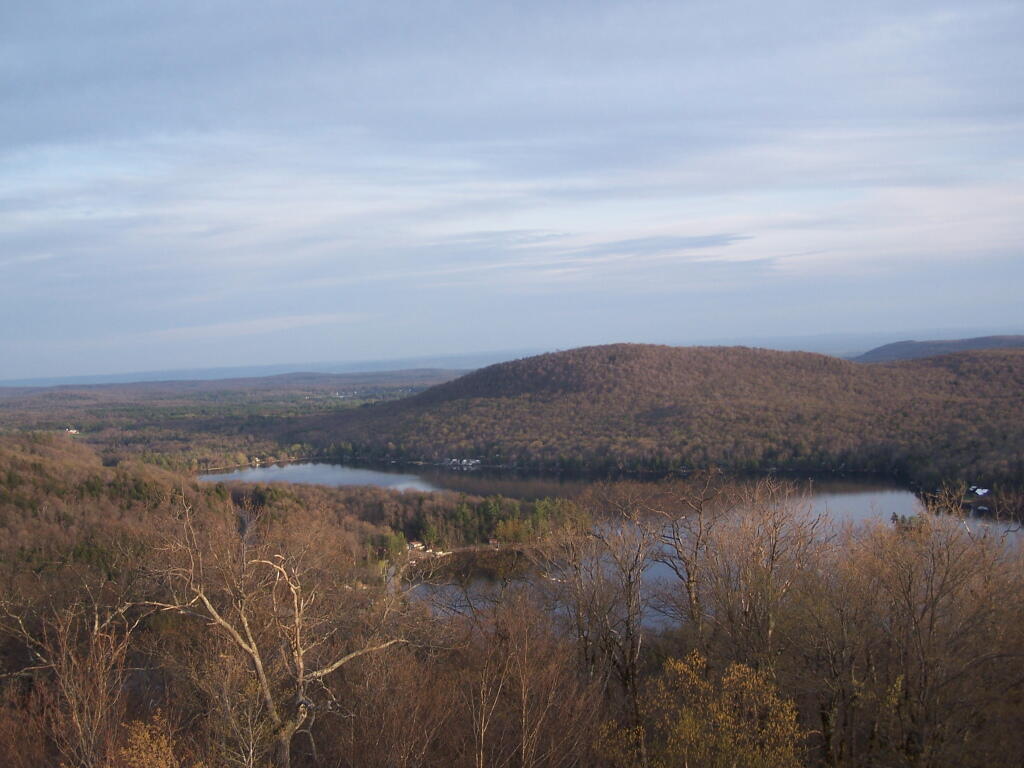
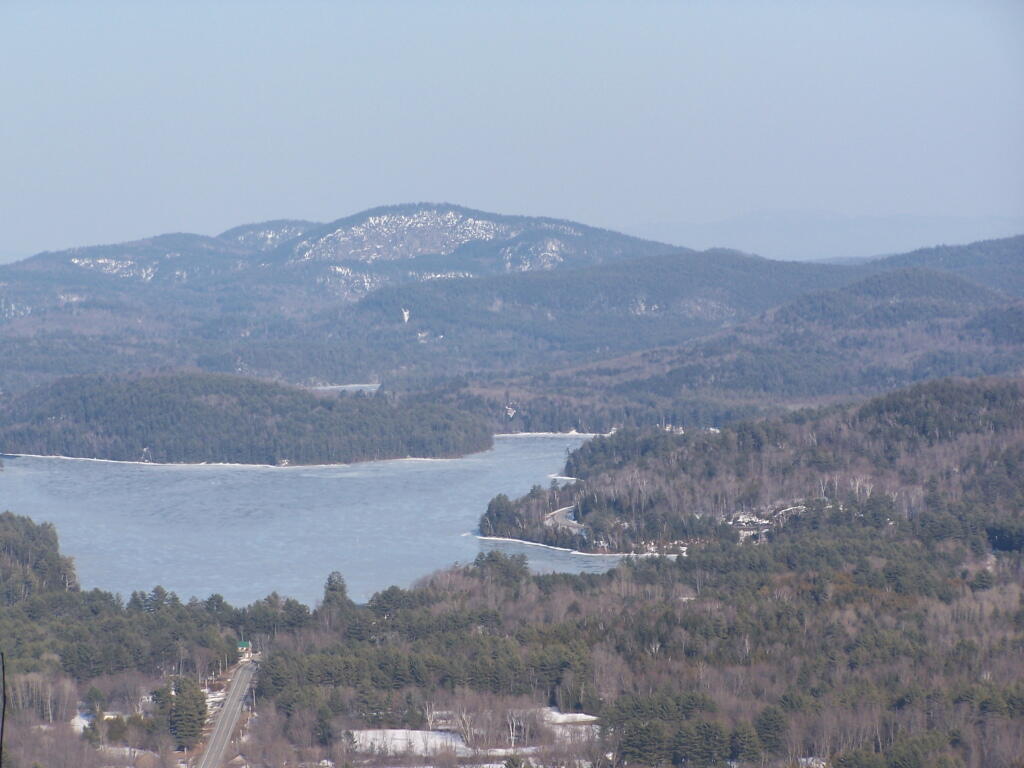
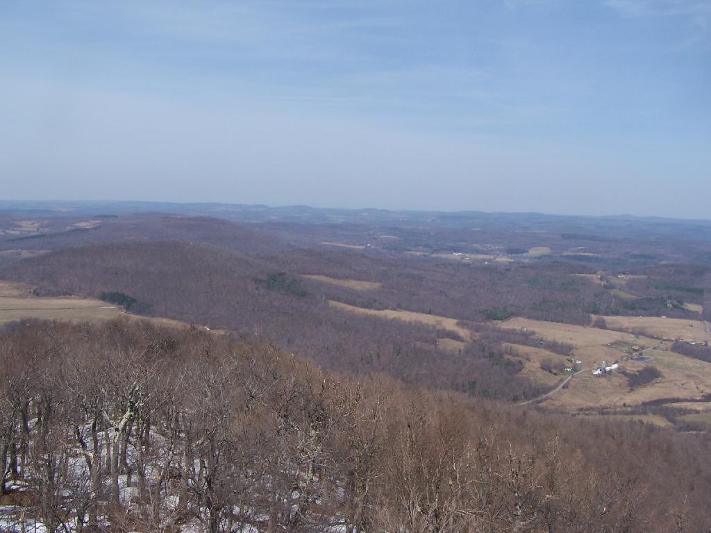
Looking due South, you can see Canada Lake, Sheely Mountain, and the Mohawk Valley to the South. Once you get South of Sheely Mountain, the area around Caroga Lake is relatively flat until you get to the other side of the Mohawk Valley, with the ridges Schoharie High Lands.
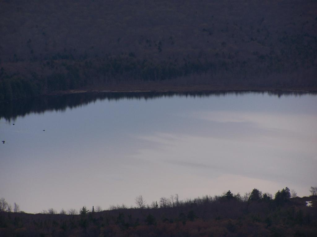
The light flickers over West Lake, which is connected to Canada Lake.
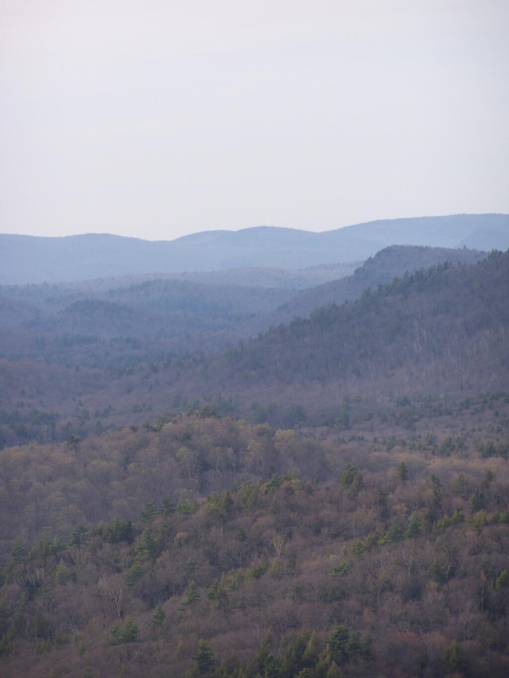
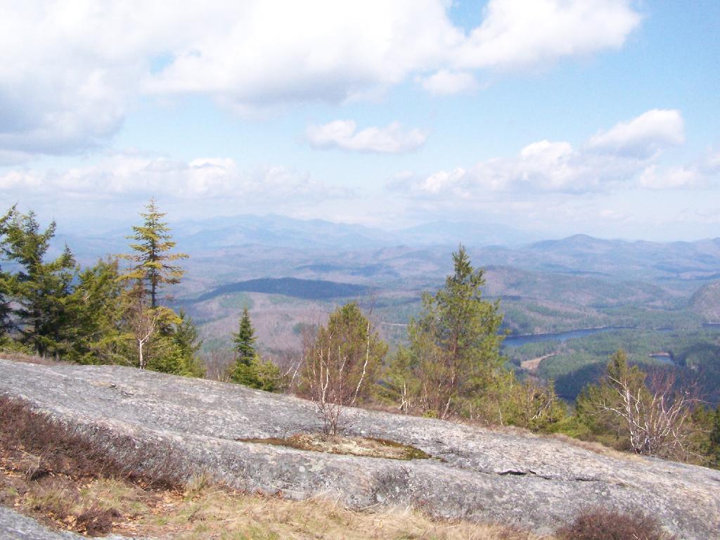
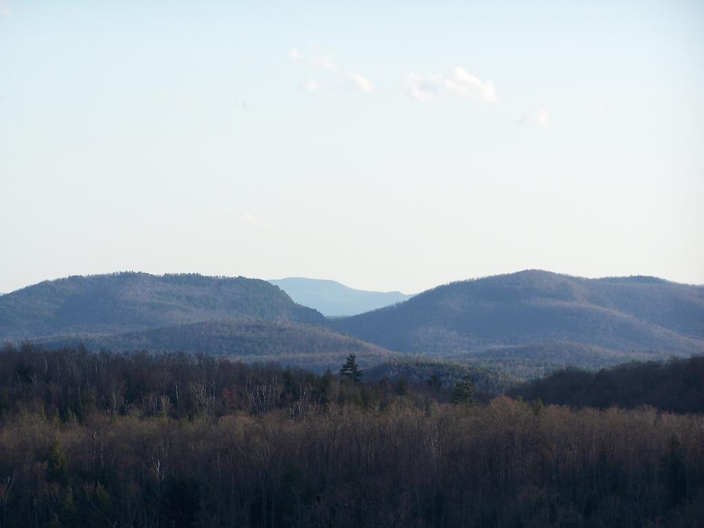
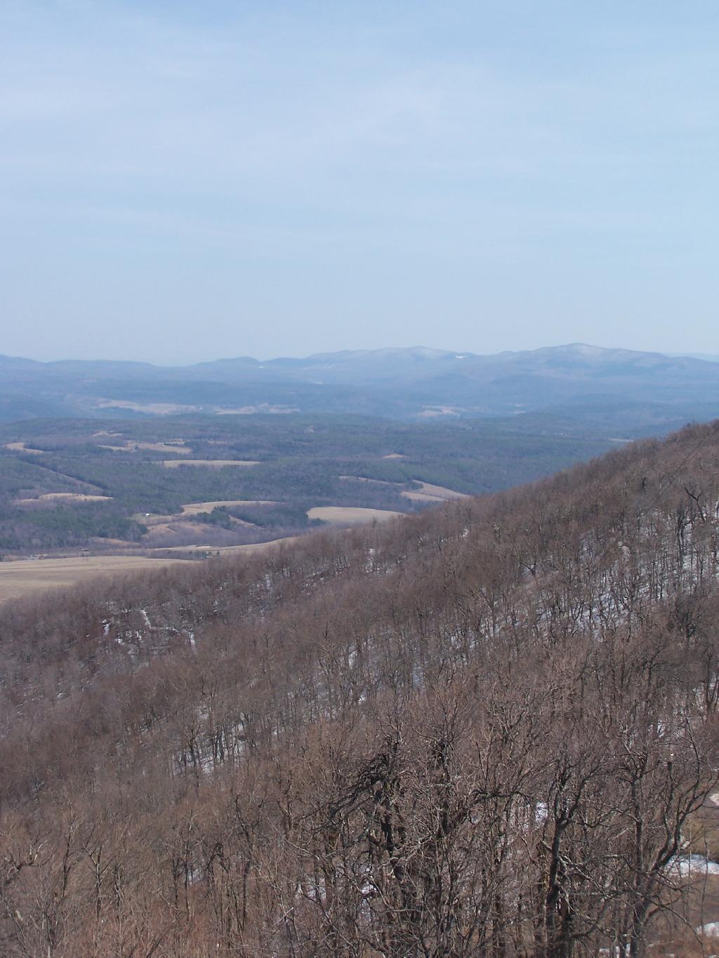
Looking at the Southern Adirondacks, heading North along the NY 10 Coridoor. Until recently visiting this portion of the Adirondacks, I always generally viewed these lands as relatively flat, but instead as this picture shows, actually is fairly rugged, with peaks in the 2,000-2,500 elevation range, which is about 500-1,000 above the valleys below. Not flat exactly.
Watching the setting sun from the Fire Tower.
Through the tower windows in the cab as the sun sets.
Due to the clouds, it wasn’t a perfect sun set, but just before the sun disappeared into the clouds, here is what I saw.
After sunset, looking at the fire tower by the last light of the day.
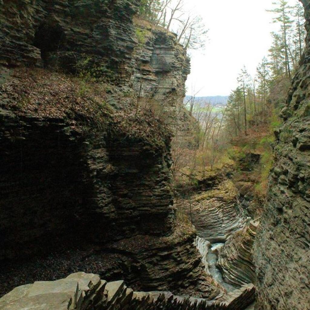
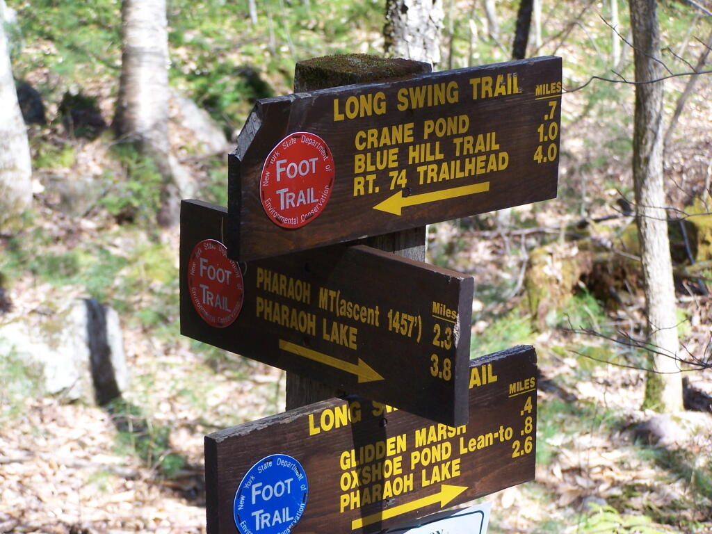
Crane Pond Road is a 2 mile historical truck trail in the Pharaoh Lake bureaucratically-defined “Wilderness”. This truck trail provides access Alder Pond and Crane Pond, along with access to hiking trails to Goose Pond, Glidden Marsh, Oxshoe Pond, Crab Pond, and Pharaoh Mountain.
This truck trail is popular and is frequently used hunters, fishermen, backpackers, and hikers visiting the vast lands of Pharoah Lake “Wilderness”. The wilderness distinction, is rather dubious as these lands are not historical wilderness but only designated as such on paper by the Department of Environmental Conservation and the Adirondack Porn Agency. There is few old growth forests or undeveloped land remaining in our state, and the wilderness designation is frequently abused by environmental extremists.
The entire Pharaoh Lake “Wilderness” is traversed by old logging roads, has old foundations, and other ruins of a once privately owned, farmed or logged land. Many of the hiking trails follow old logging roads. The state has developed foot bridges, hiking trails, and many lean-tos throughout the property, so man made structures are not uncommon to find in this so-called “Wilderness”.
A Rough Truck Trail.
The entire Crane Pond Road is a rough truck trail. It’s has gotten minimal maintenance by the state of New York, ever since those with an certain extremist ideological agenda attempted to get this truck trail closed off.
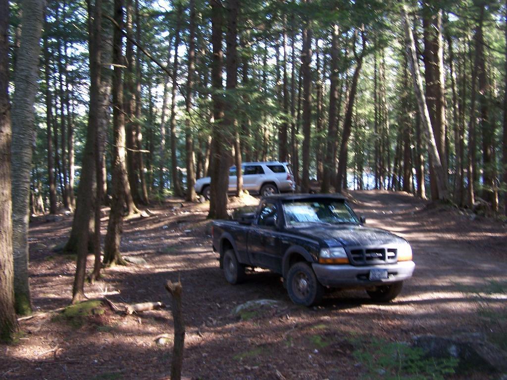
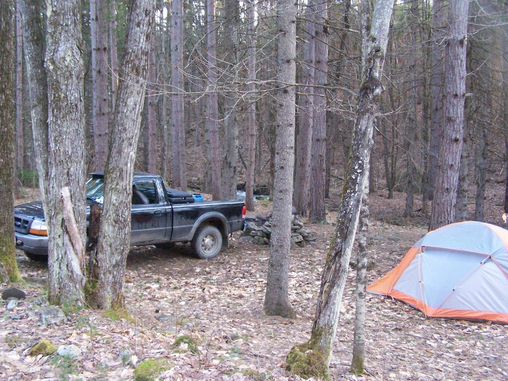
Some portions of the truck trail are deeply rutted, and at least this time of year, very muddy. A few places are washed out, and you have to travel past washed outs, or carefully climb over them. I bottomed out my Ford Ranger a couple of times and could feel the front-drive train pulling the back wheels along as they started to slip.
Towards the end of the truck trail, the truck trail actually crosses an inlet to Alder Pond. I didn’t try driving through this section during the high water of spring, but apparently at least one person with an old Chevy K1500 4×4 made it to the end without problems.
I drove to the pull-off right before the spot where the truck trail crosses Alder Pond. In low water, I wouldn’t mind driving through the inlet to the parking area at the end of Crane Mountain Road, but I wasn’t going to get my pickup stuck or flooded.
A Good Thing to Still Be Open.
All and all, I am happy that citizens fought to keep this existing truck trail open, against an extremist ideological agenda of some environmentalists. It shortens the hike up Pharaoh Mountain by 4 miles, and provides easy access to many important areas.
This would have been different issue if was proposed by the NYS DEC to build a new road through the Pharoah Lake “Wilderness”. If the DEC had shown up with bulldozers, and chainsaws, to cut a new road one could have made an argument against building a new road.
Yet, Paraoh Lake “Wilderness” is not that — it’s a land that has long been minimally developed with forest access roads, trails, lean-tos, with Crane Pond Road long being minimally maintained to provide access to this important public land. It’s not a Strip Mall or Housing division, and most of the area is very wild, even if it’s somewhat developed to provide for the public access and enjoyment.
New York State Should Maintain &
Keep Crane Pond Road
OPEN to Public Motor Vehicles !
If you want to make god laugh, tell him your plans. — Van Zandt, Help Somebody
It seems like there is a lot of talk about planning these days. People are constantly urging us to make retirement plans on the radio, especially for the young. Cities are told they have to make 20 year solid waste plans, along with Comprehensive Plans through 2030.
What’s the obsession with plans? Why can not we as a society simply learn to live in sustainable ways today, and not spend so much effort focusing on tommorow? There is a difference between planning and sustainability:
Planning is…
Abstract plans
Based on a view of tomorrow by today’s ziegist
Educated guess based on today’s technology
Excuse for not doing things right today
Sustainability is…
Taking sensible steps today that are right for today and tomorrow
Not consuming more resources then we currently have access to
Avoiding debt unless it shows short-term benefit, and can be shown also to have a long-term benefit equal to payback time
There is a lot of talk about short-term pain for long-term gain these days. Yet, what should be the threshold for pain? While it would be irresponsible for us as a society and individuals, to ignore long-term consequences of our actions, it’s just as bad to scrimp today on false beliefs on what tommorow would look like.
Planners of all stripes are bound to take issue of prioritising sustainability over planning. They say, without a plan, how can you really know if your actions will lead you where you want? I disagree. Do what’s right for today, but also don’t destroy your world for tomorrow.
I agree almost 100% with the message of the Tea Party protesters. Too often our elected officials are not serving the public interest, but only their own narrow special interests. Politicians are unwilling to confront both wealthy donors, much less any sector of their demographic that they represent. Too many politicians have spent too much time in office, and have grown too distant from the people they are supposed to represent.
It’s not just a problem with the Democratic Party. Indeed, it’s a problem with both political parties. Many Republicans are too friendly to big business based on their ideological predisposition. Republicans often exploit government for the special interests that they are involved in. Republicans are too willing to oppose taxes on behalf of the rich, while either depriving the public of much needed services or leading to higher user fees on the rest of non-rich populous.
Both political parties need to have a tea party revolt that kicks out the bums their respective parties. There needs to be fresh blood, corrupt and evil practices should not be tolerated. Legislators need to have term-limits and primaries that force the old out and the new in. Legislative sessions need to be shortened, and legislative bodies made unprofessional, so that new elected officials have a connection with the people they represent are elected into office.
The Tea Party folk are right. It’s time for a new politics, a new generation of thinking and caring politicians. The old must come and go, the new blood must come in. The beloved old politician of yesteryear is the problem of today, holding us back into a politics of yesteryear. We as a society must move forward and not backwards. And for that, my hat’s off to all reformers of politics be it the Democracy for America and MoveOn folks of the left or the Tea Party folk on the right.
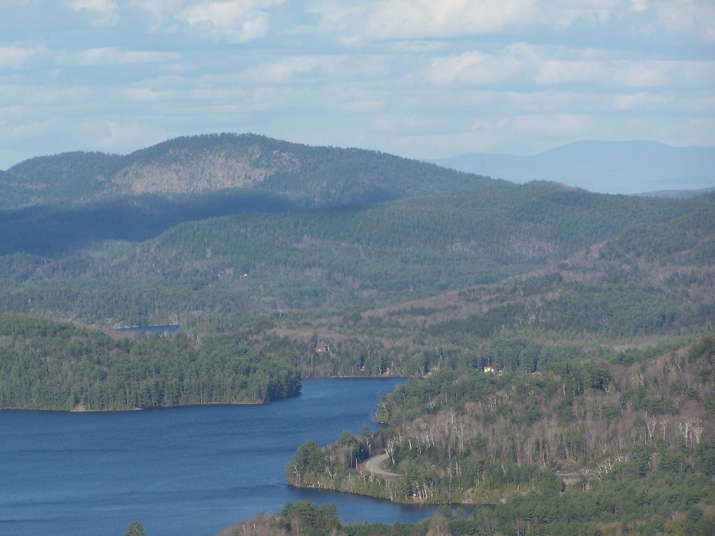
One month after my first hike up Severence Hill, I decided to do another “cool” down hike up this mountain. In only a month, the look off the mountain had changed quite dramatically.
Here is Paradox Lake on March 7, 2010.
Here it is on April 11, 2010.
With the Adirondack Snow having melted in the past month, things looked a lot different for sure. Things where already starting to show some signs of spring, and life, even if the Adirondack Winter still had another month to go before casting off it’s winter.
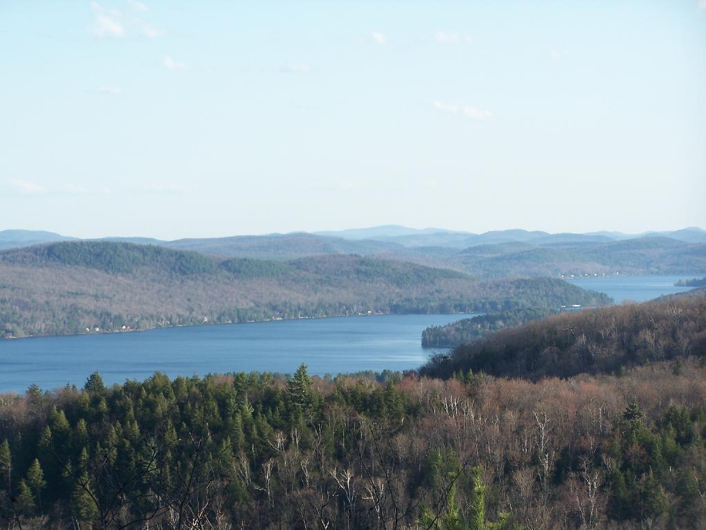
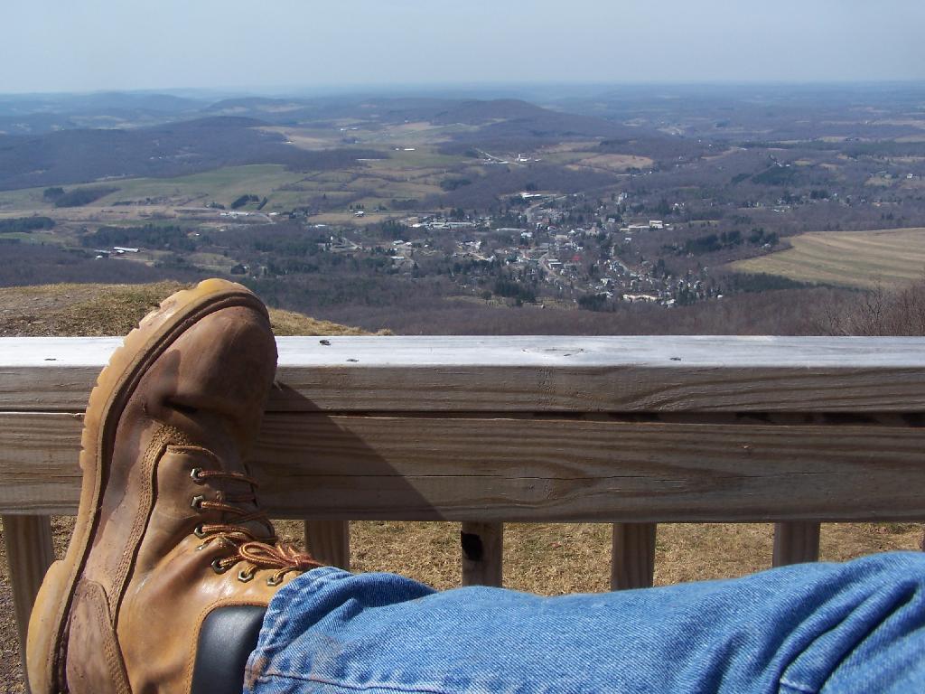
I must have spent an hour staring down at Schroon Lake, just pondering the Adirondacks and possibly moving out west. It was such delightful weather out there, and while I was tired from a day hiking, there was so much beauty with the setting sun. I had no reason at all to rush back to Albany, having no commitments when I got back home, except to get ready for the next day at work.
This hike, while short has so much beauty. Looking down at Steep Bay (part of Pharoah Mountain Wilderness) on Schroon Lake.
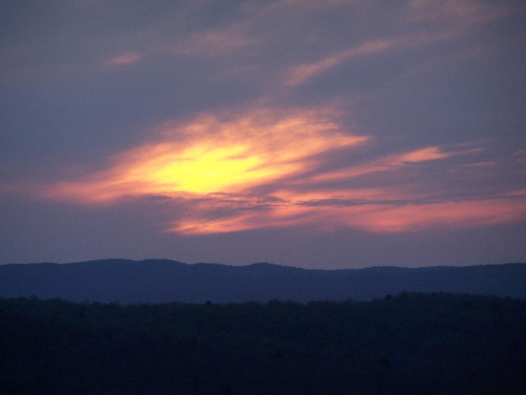
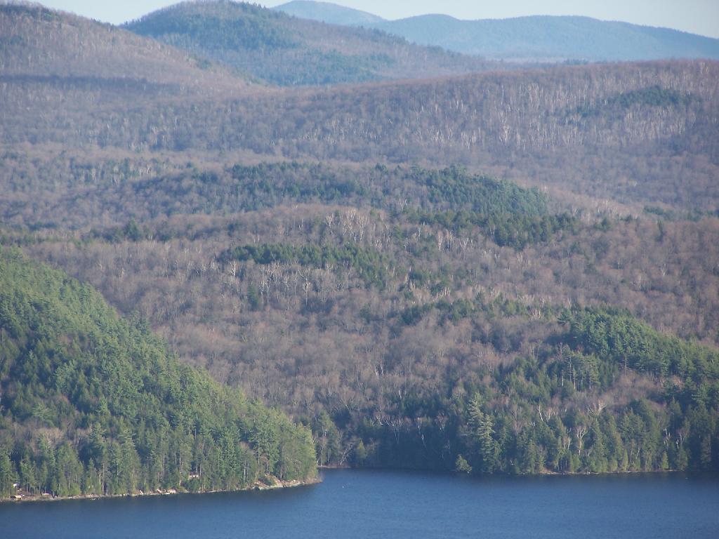
Then one last look at Hatchhack and Allered Hills to the south, silhouetted by the setting sun, as I descended the mountain, and headed back to Albany.
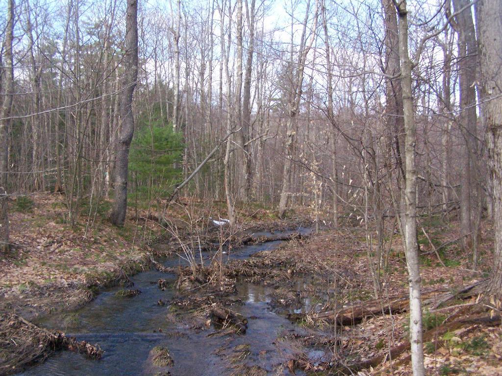
I’ve camped up at Burnt-Rossman State Forest a couple of dozen times. It’s one of my favorite places to go out truck camping, with it’s remote and quiet nature, and while I had known from maps that there was a lean-to up there, that one could hike to, I had never actually visited it. I had spent the previous night tent camping, and being up early, decided to check out the lean-to.
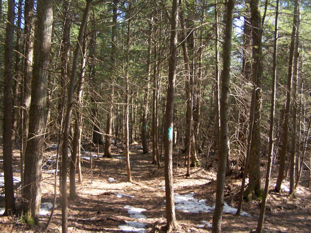
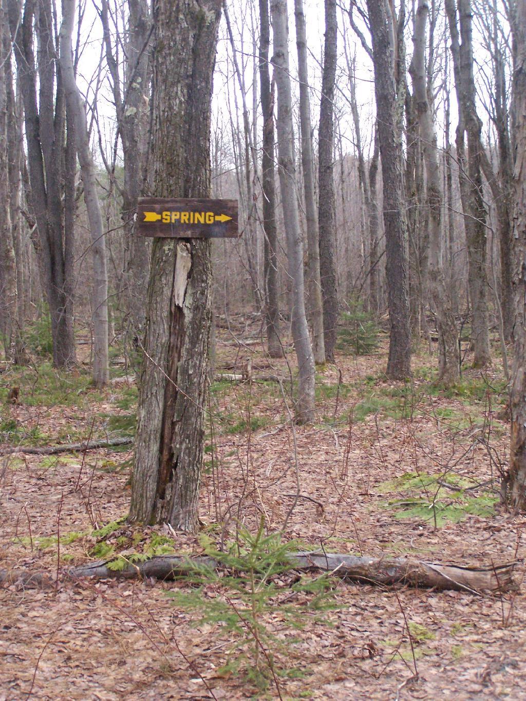
The lean-to is located on the section of the Long Path that crosses Morey Road, just south of Rossman Hill Road, right next to the old cemetary. Alternatively, you can access the lean-to from Burnt Hill Road, just up the hill from where Duck Pond Road splits off. The lean-to is located about a 1/2 mile from either road. Regardless of which way you choose to go, it’s a nice level hike through marshes and old timber stands.
And old woods roads…
As you past by the headwaters of the Cole Brook, which ultimately helps feed the Schoharie Creek.
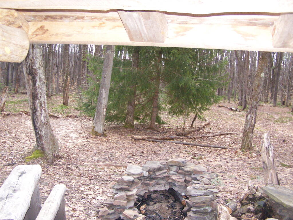
And the lean-to is really nice looking and only used occassionally, mostly by the locals.
And it’s nearby a spring, or at least a marshy area that never gets wet.
It’s definately some place I would like to stay some day.
Two weekends ago I was planning to go hiking up Huntersfield Mountain, but when the trail conditions and time remaining wouldn’t cooperate, I decided to head over to Mount Utsayathana in Stamford.
I fully expected to have to hike up the mountain because the steep and narrow truck trail would be unplowed, very muddy, and possibility icy. With the truck trail hanging right along the shoulder of the mountain without guard rail, you don’t want to fool around.
Quite to my surprise, it was only a little muddy up top, but the rest of the trail was dry. The top of the mountain had some snow drifts, but it had been plowed throughout the winter.
It was a beautiful early spring day out there, looking down at Stamford from the porch of the Utsayathana Mountain House. Things are starting to green up down there, and signs of spring are in the air.
Walked over to the fire tower, and climbed on up.
View out of the Firetower windows.
Looking East towards Huntersfield Mountain and the low lands towards Grand George.
And the western mountains of the Catskills, and the deep agricultural valleys within in them.
Towards the North the ridge continues on a little ways to Bald Mountain, then you get into the standard ridged landscape that covers most of Upstate New York.