When people think about what things cause harm to the environment they think of many things. They think of tall smokestacks pushing out sulfur dioxide and nitrous oxides, rusty metal drums leaking orange liquid, or the endless repetition of housing in suburban development.
Most do not think about attitudes and cultures that insulate people from the natural world. Yet, that might just be the biggest threat. Consumption without context, a lack of understanding of pollution, a distant natural world, and apathy all lead up to some serious environmental degradation.
Suburbia is grounded in consumption, often without context. They go to the mall and grocery store and buy things. The trash man comes by on Wednesday and takes away what they dont want. The people there have no idea where things came from, what technologies are behind it, and what the real costs of their actions are.
The landfill is well hidden from view. The methane from the dump and the landfill can not be smelled to the user. The factory in India spewing out toxic chemicals simply does not exist. Pollution does exist in suburbia from car emissions, phenalates from vinyl, and lawn pesticides, but it takes a different context from reality.
People in suburbia drive to work in an air conditioned sport-utility vehicle. They live and work in air conditioned vehicles that seal out natural air. Nature is little more then a place for camping. It certainly is not a place for living or making a life out of. If nature is anything in such a world it is always thoroughly controlled and regulated.
Life is suburbia is good, maybe too good. It breeds contempt and apathy. When life is so good, why challenge our status quo to protect some abstract environment so far away? Suburbs are non-political except for the occasional fight over grandpas fence, or parking. Real issues seem not ever to rise to interest.
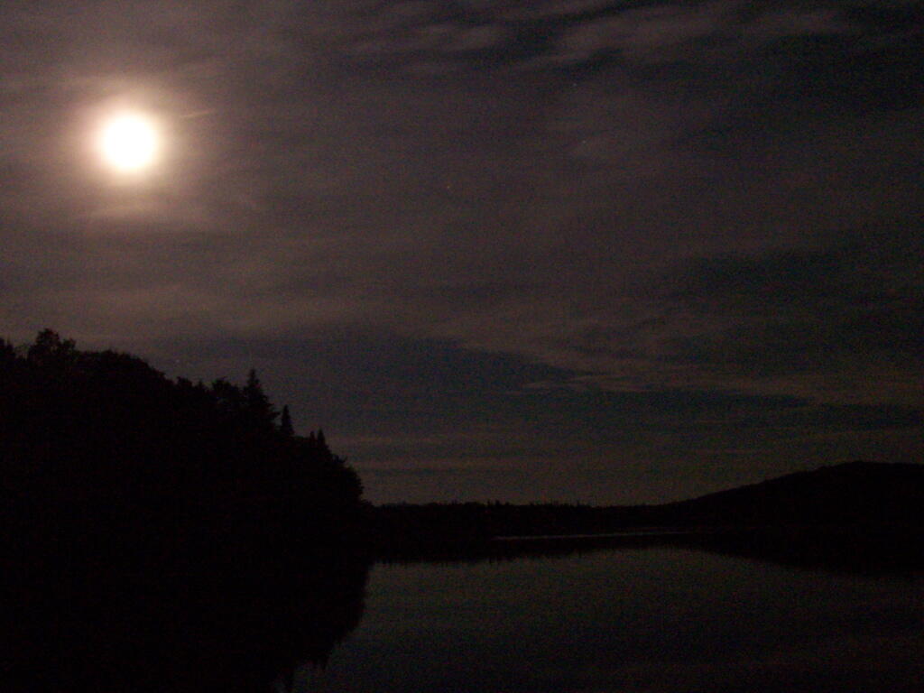
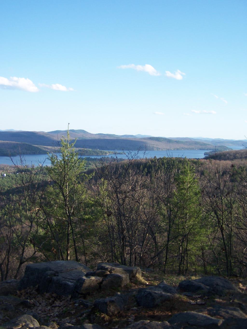
The other night around quarter to midnight, I walked out across Wakely Dam at the Cedar River Flow in the Moose River Plains of Adirondack Mountains. With a new moon, I expected to see very dark skies with good views of the stars, and little light pollution in the distance.
While the stars were clear compared to any place around Albany, their was in the distance, across the Moose River Plains and mountains of the West Canada Wilderness, a very distinct warm color light, from the street lights along the hamlets that dot the Fulton Chain of Lakes — Old Forge, Eagle Bay, Inlet, etc. All of these hamlets are 30 to 50 miles away, and due to Wilderness and Forest Preserve, it’s unlikely to be from any source nearer.
Most of the light I saw in the sky probably was from street lights, parking lot lights, exterior building lights on lodges and businesses alike along the Fulton Chain of Lakes. It probably would not have been noticable in a more urbanized area, but due to the fact I was in wilderness and almost complete darkness, it shown brightly across the sky.
It’s unfortunate that it disturbs the views of the stars, despite my remoteness. It is much more unfortunate to think of the energy waste it represents. All those lights are supposed to be lighting a section of street, parking lots, deck, or some specific other purpose. They are not intended to be lighting sky or sending light 50 miles away to an observer standing on the Wakely Dam.
That light did not come from some free source. It came from a power plant that fed electricity in our state-wide electrical grid and sent a small fraction all the way up to the hamelts along the Fulton Chain of Lakes.
While some will argue that their is excess electricity in grid at night or that most of the power locally is generated by hydropower, the reality is electricity on the grid is fungible, and one unit of hydropower here could be used elsewheres to offset the use of coal or natural gas. Even in low energy use times, the grid still relies on a lot of dirty and polluting fossil fuels.
So I ask myself, why is a hamlet 50 miles away, sending energy in the form of light into wilderness? A lot has to do with technological inefficency that wastes energy, even more has to do with energy being so cheap, that it’s affordable to light up lands 50 miles away with wasted energy. Yet, it seems like such a waste.
You know, I really love oil. Not in it’s crudest form, or even gasoline — that nasty stuff you put in your truck, or even in it’s form of energy — that powers my truck. I love it because oil is such a beautiful thing — it takes one to beautiful places, it gives one the most wonderful experiences.
It’s oil that takes me up to the woods. It’s oil that takes me down rough state truck trails and smooth superhighways, the fly high above beautiful valleys. It’s oil that take me to the mountains, it’s oil that takes me out on the town to meet interesting people. It’s oil that goes in the bus that takes me to work. It’s oil (and it’s cousin natural gas) that keeps lights on, the beer cold, and good times rolling on.
I love oil, despite my
sometimes troubled relationship with it.
While I doubt that it is possible to truly live outside of society in America today, I think it is an interesting subject to explore. To explore living outside of society is to gain a greater understanding of the self and to try to see what the rural life must truly be like. I do not think this essay fully answers that question, but I think it is a place to start with some thought. This essay is based in part of my thoughts gained by meeting a small-scale farmer in Schoharie County.
The first thing that comes to mind when thinking about living outside of society is the neccessity of land and money to purchase that land. To own your own land, would give you a little piece of the world where you can excerise at least some soverignity over. And if it’s rural and large enough, and you cultivate that land the right way you can turn it into a life beyond society. It is possible through family connections or some kind of donation to gain land without money, but for most of us, we must work for land.
That brings up interesting moral questions: how to make that money, before you quit society? Do you go an immoral, but legal route to gaining money quickly or do you give up a high-profit lifestyle for working a less profitable job, but doing the right thing before gaining that farm? I can not claim to answer that question for you, but it would seem if you are trying to escape an intolerable society it would seem that any means possible might be okay. Then again, you are simply making things worst if you take that attitude.
Second, what land do you purchase? Something that’s very far away from a city, or something near enough that even though you live outside society, you can still participate as you want. Do you get land that’s easily farmable, or do you find land that is more affordable or farther away from the evils of civilzation that you are trying to escape? I would think if your trying to an individual who wants to live outside of society, you would need to have good land that you can grow and produce most if not all of what you need, once you finally quit society. Still, so much of modern society is centered around modern technology, that it is nearly impossible to live completely outside of society as we know it today.
There are many conviences that we rely on in modern society. Corporate agriculture produces food for us cheaply and tastefully, our buildings contain many industrial materials like sheetrock and aluminum roofing, our lifestyle is surrounded by automobiles and power equipment. Few who repudiate society and choose a rural life are willing to give up their truck, their tractor, or their chainsaw. Are you willing to give them up to be more free and more outside of society as we know it today? Yet to live with such items means your dependent on outside sources and influences, such as the need to go beyond yourself to purchase fuel and parts for such machinary.
At one level, things might be changing to make the individual more indepedent of the oil economy, yet be able to participate in it’s benifits. In the far away future, the farm and it’s equipment will be able to be powered by solar and wind energy, burning hydrogen in their engines. Already, you can see farms that use solar powered electric fences, where a solar cell on a fence post collects electricity that is relased from a capicter when an animal touches the fence. Certainly, this technology requires an outside purchase, as you can’t grow silcon nor steel to make this fence, but instead are reliant on it’s existance.
Maybe the future is promising for a free rural life, but not without still many connections to society as we know it. Thoreau never really escaped the society of his era, and it seems even more impossible today. We rely on technology to such a high degree, that we have to accept it in running our household, our homestead, or farm—you actually end up living in society. At best we can choose to live a partially isolated life in rural America, but we are tied to all that makes urban society so evil. People in rural Montana still have to live under government, obey laws, act a certain way. The moral of the story is you live inside society so you have to embrace it in one way or another. Be it living on a farm or in an apartment, your just as much part of a community, though the prior does afford a greater freedom of action.
One of the reason I want to move out west is to move into a political environment that is more comfortable and agreeable. Living in New York and being involved in City of Albany politics, I frequently run into people that are extremely liberal and whose views are much farther to the left then I could ever accept. At least for some city political activists, I’ve been characterized as downright conservative, even if I’m generally pro-union, pro-worker rights, and pro-strong environmental protections.
I find it particularly painful to be categorized as a conservative outsider. I support many progressive positions, and for people to just label me as a conservative who is against progress just bothers me. I want to have a clean healthy environment, I want to have a high minimum wage, and allow people to make their own private lifestyle choices.
In a more conservative area, many of core beliefs, particularly on rural issues, will be norm for the society. I may face an uphill battle in rural areas on more progressive issues like the minimum wage or clean air from big corporate polluters, but wherever one goes there still is a core progressive group that I can join up with that shares my progressive beliefs. I find it much easier to fight for a liberal cause, then against a liberal cause I disagree passionately with.
One the things I loved best about attending college in North Country of New York State was I could find like minded Democrats in the region. Many of the progressives of the North Country shared the same beliefs that I hold dear, but also where strong progressives on the major issues. Rural progressives generally where not proponents of gun control or hostile to rural issues but still cared strongly about labor rights and strong environmental protections against some of the worst abuses across our country.
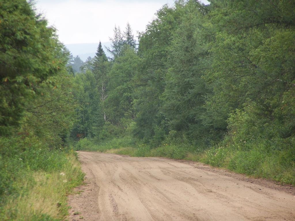
There are many state lands away from big cities that are relatively unrestricted in their use. They are so free only because they are largely unknown by the public and the lack of use means they can be used extensively without serious environmental damage.
The wear and tear by a few pickup trucks, quads, and horses seem minimal compared to the damage we see in far more restricted urban areas. I am inspired by Rural America and how little us humans have destroyed it compared to the big cities.
People can pollute more per capita and do far more damage then would be permissible if more people where out here. A truck can tear up a muddy trail pretty badly, but many people walking on one trail can do far more damage as witnessed in the Northern Catskills. People who live out here can have dirty diesel tractors, big gas-guzzling pickup trucks, and burn trash without significantly compromising their clean air or their quality of life. We could only wish that to be the case in the big city.
My biggest fear is what will happen when the cities expand further and further out into the country. What will happen with a new class of people coming out to enjoy the land? More people will ultimately mean more rules, less, freedom, and certainly no camping or four wheeling. The area won’t be as beautiful as farmsteads and forests get replaced by McMansions enjoying the mountains. What once was empty roads is increasingly becoming houses.
You just have to fear what it will mean when people come out here and settle the land. Outsiders will start demanding that we change, and that we start following their orders. Rural America might ultimately be the Pine Bush of the future a seriously compromised area that only is preserved for historical memories of the great beauty. Life in Rural America is nice now, but how will it be when country ain’t country no more.