fodder

Blue Mountain Fire Tower

There is a fire tower on the mountain overlooking Blue Mountain Lake. It has some interesting views, and can be checked out by driving just north of Blue Mountain Lake on NY 30. It is one of the most popular hikes in the Adirondacks, and many people also visit Moose River Plains or the Adirondack Museum after hiking the tower.

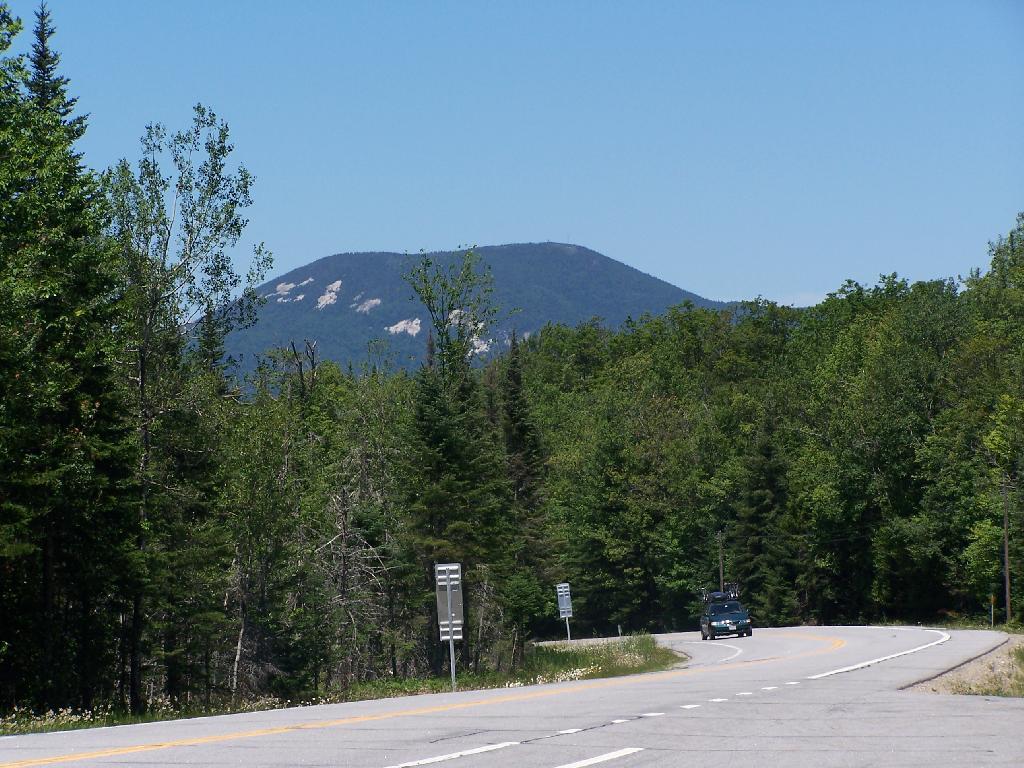
Here is Blue Mountain heading North on NY 28.

Blue Mountain

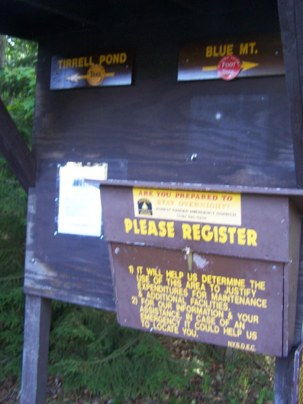
The registration box at the bottom of the mountain.

Registration Box

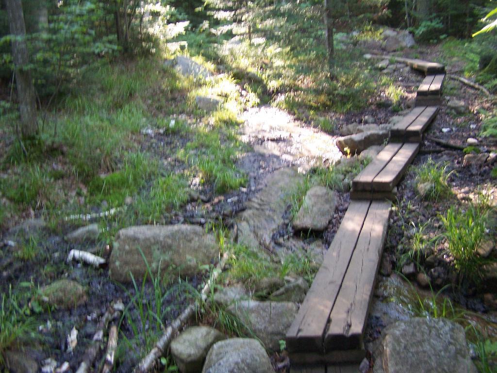
The trail is well maintained, despite it’s extensive use, with board walks across muddy locations.

Board Walk Across Marshy Area

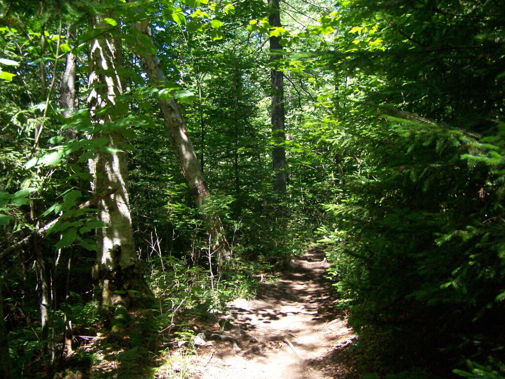
The first part of the trail is relatively flat for a while, then gets steep for a bit.

Trail

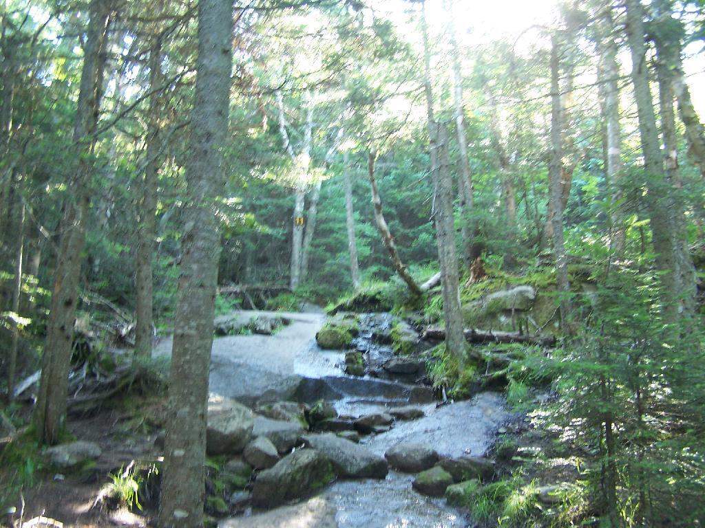
A lot of the lower part of the mountain was rocky with lots little rocks to step over.

Rocky Ascent Up the Mountain

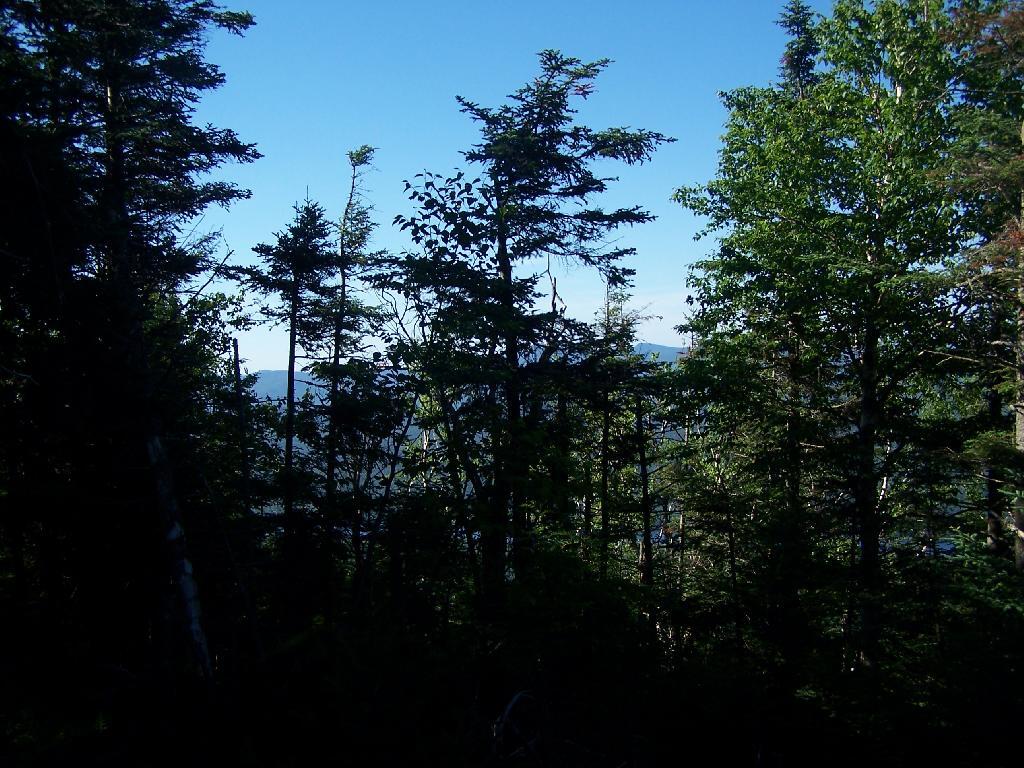
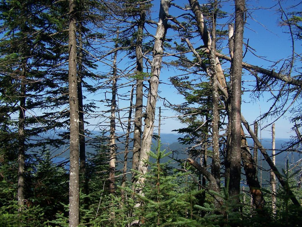
About halfway up the mountain you get partial views down the mountain.

Mountains Thru The Trees

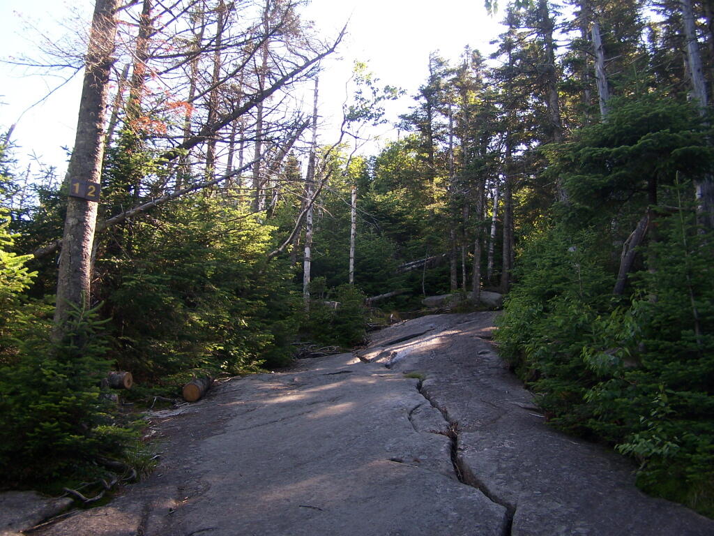
Eventually the mountain opens up a little, and your walking on exposed granite, steep, but not too steep.

Granite Rock Face

Once your almost to the top, you can look back and see Blue Mountain Lake through the trees.

Blue Monutain Lake Through the Trees

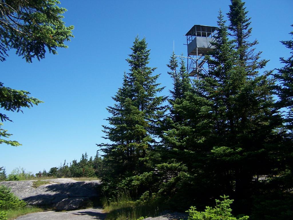
You reach the top of the mountain, and there is a gradual ascent, as you cross to the eastern side of the mountain, where the summit and the tower is located. Finally, you see the tower through the trees.

First View of Tower

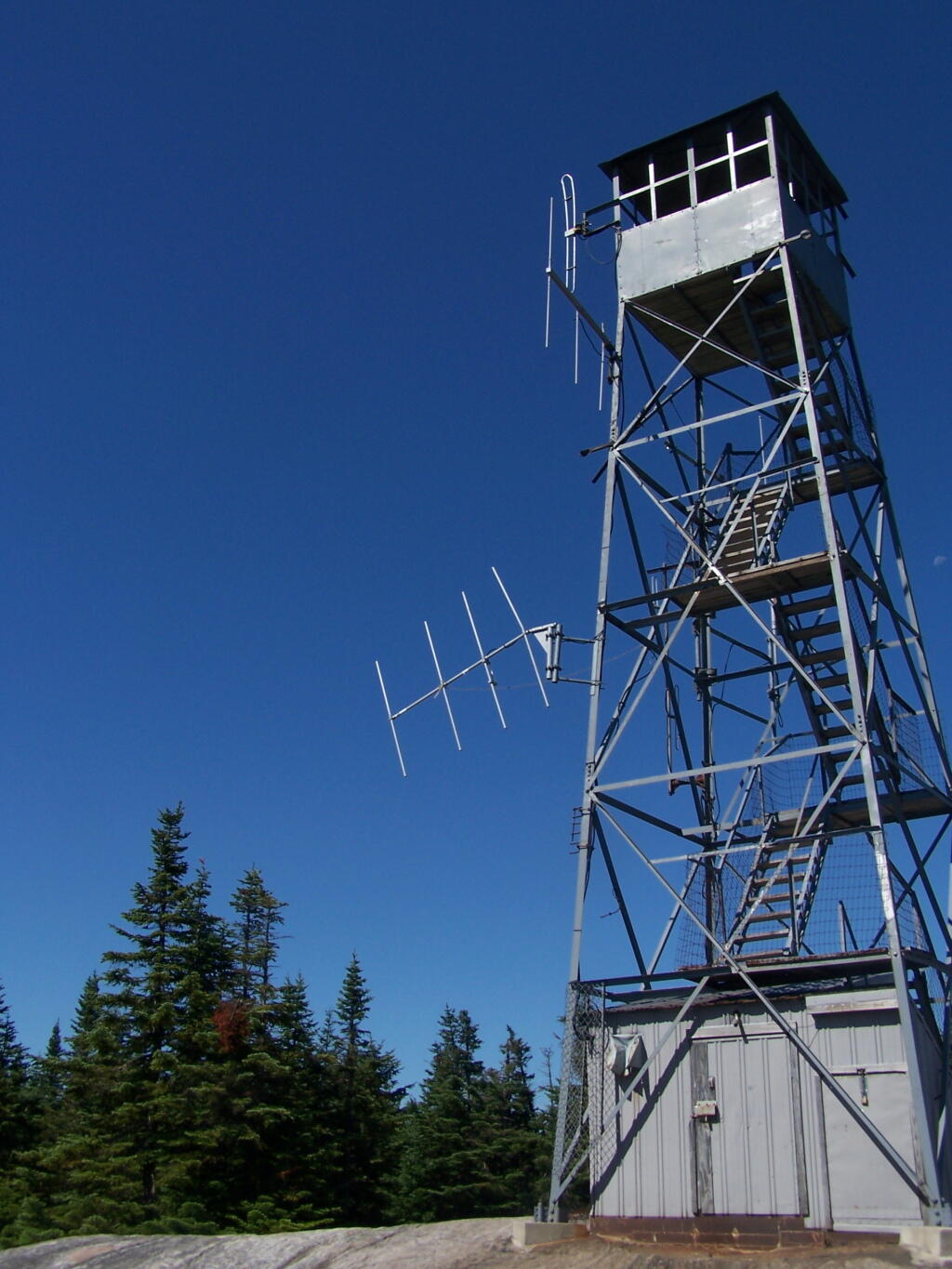
The tower is a relatively short 50 or 60 foot, but it’s plenty high to get good views of the surrounding landscape.

Fire Tower

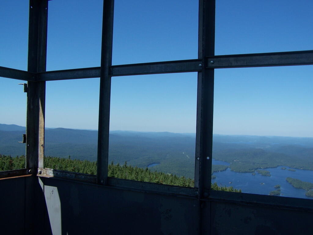
Looking out to the Tower windows.

Windows

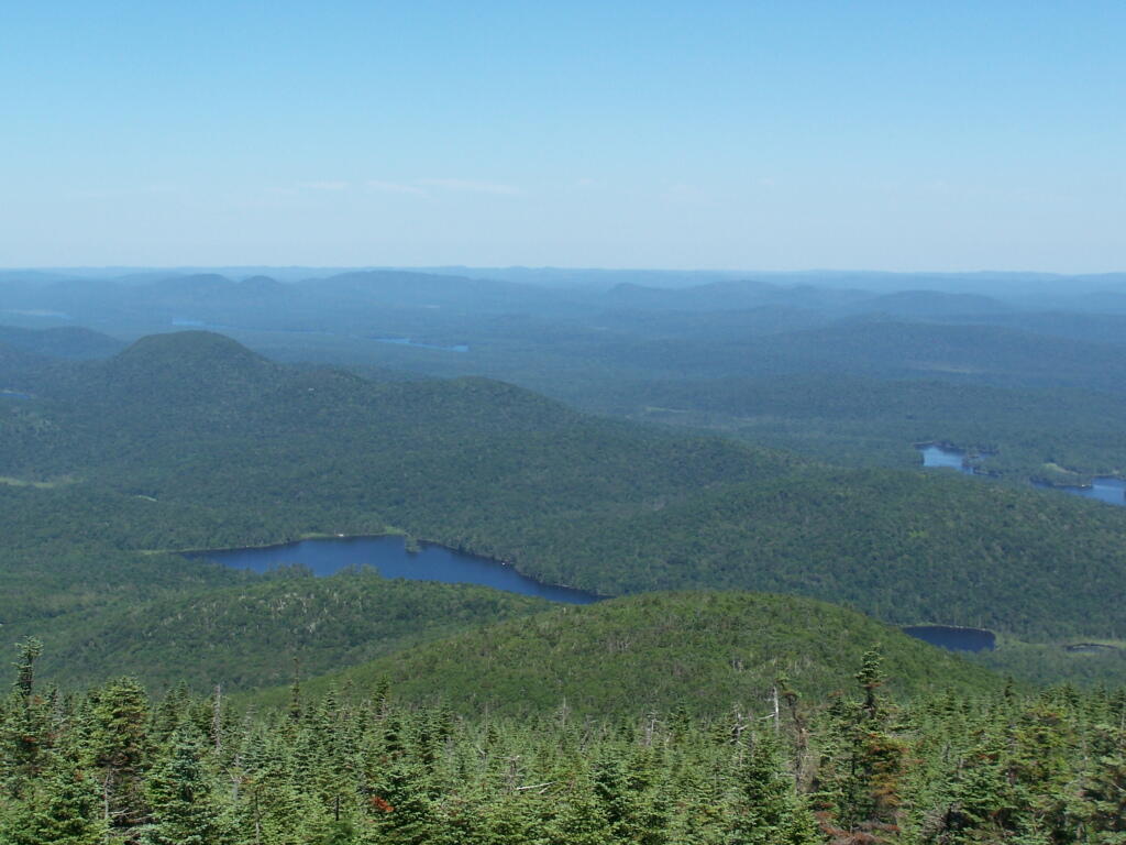
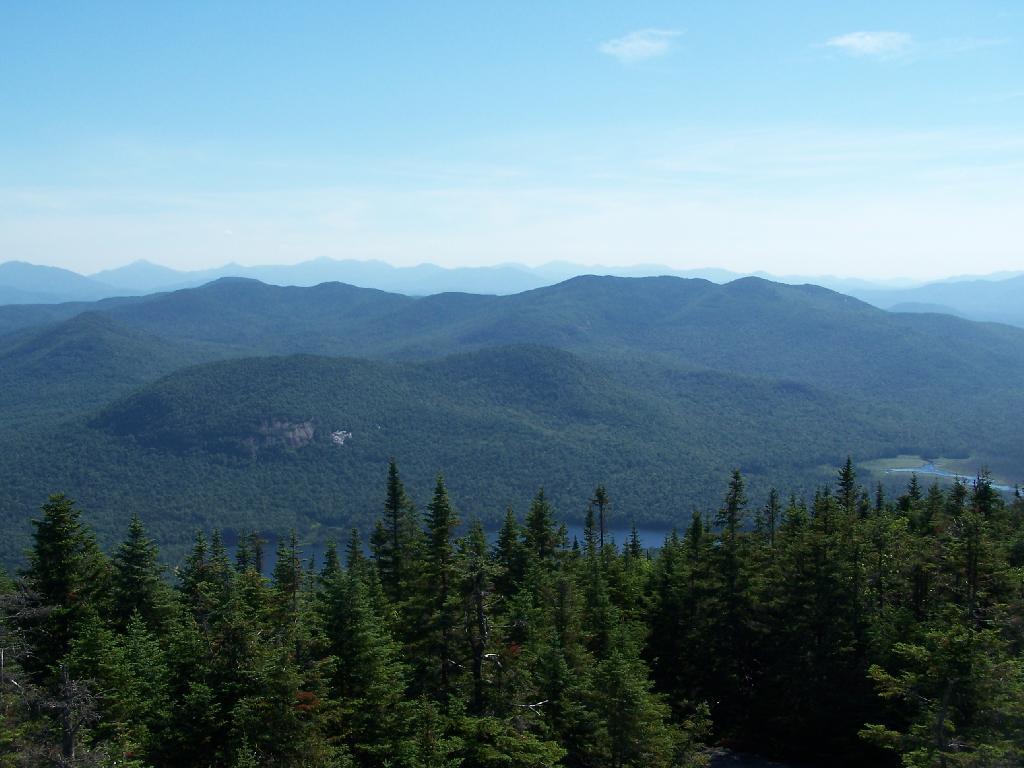
Blue Mountain Lake from the fire tower.

Blue Mountain

Moose River Plains to the south-west of the tower.

Cedar River Flow

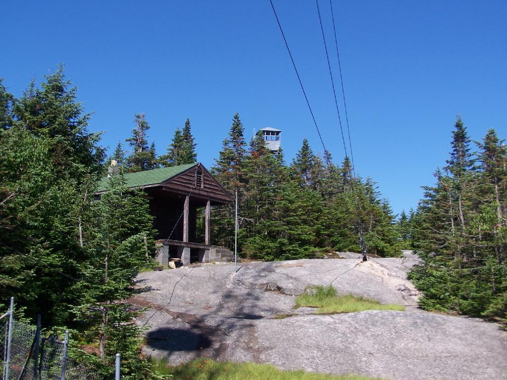
On the eastern side of the mountain, there is a radio tower and the old ranger’s cabin.

Tower from the Eastern Approach

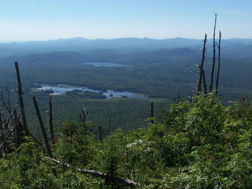
From the eastern side, their is a ledge, where you can see and look down towards like Lake Durant and Moose River Plains.

Lake Durant and Moose River Plains

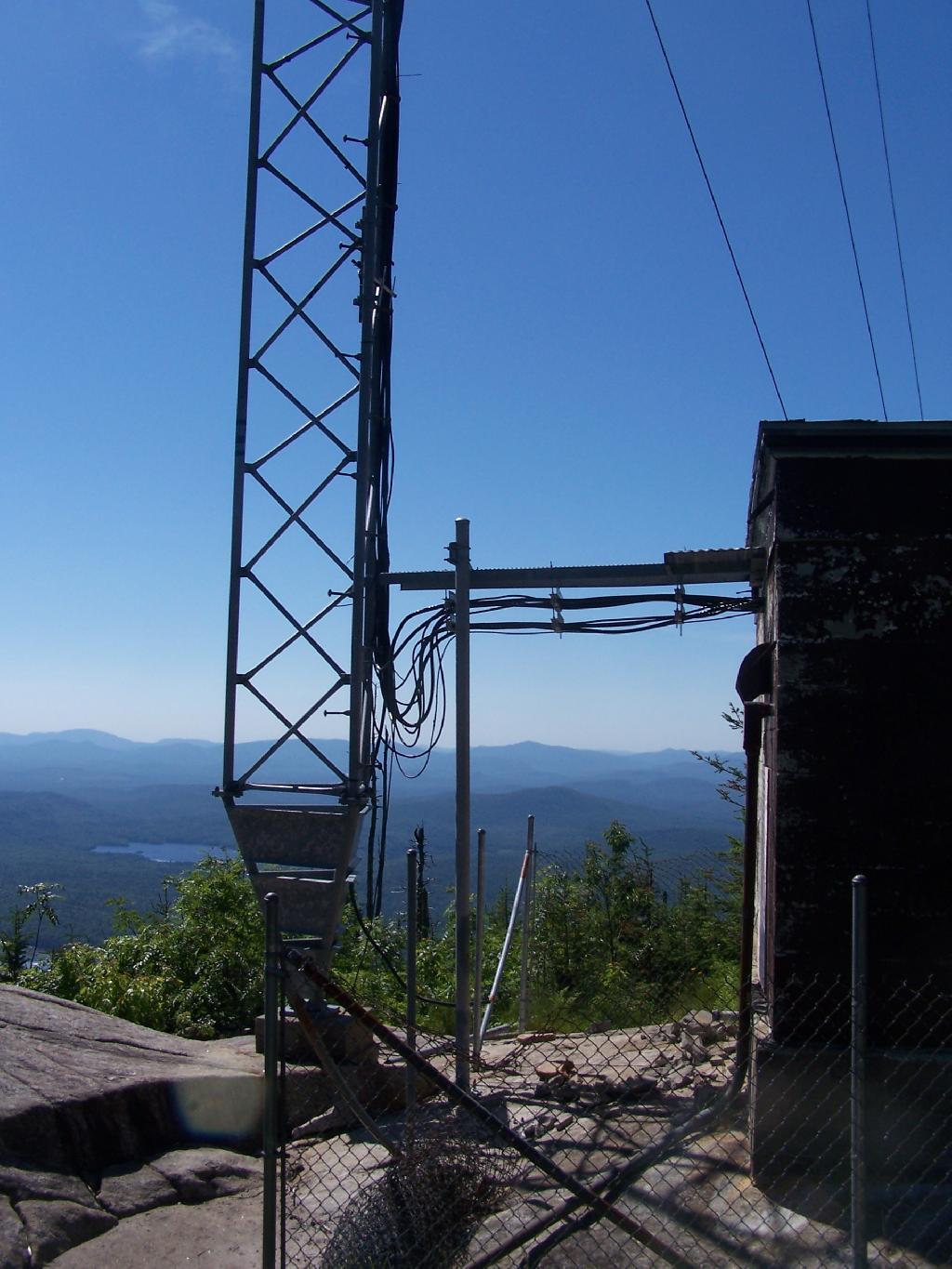
The radio tower up close, with the fence broken down around it. I didn’t hear radio signals in my ears, despite being so close to this big radio tower.

Radio Station

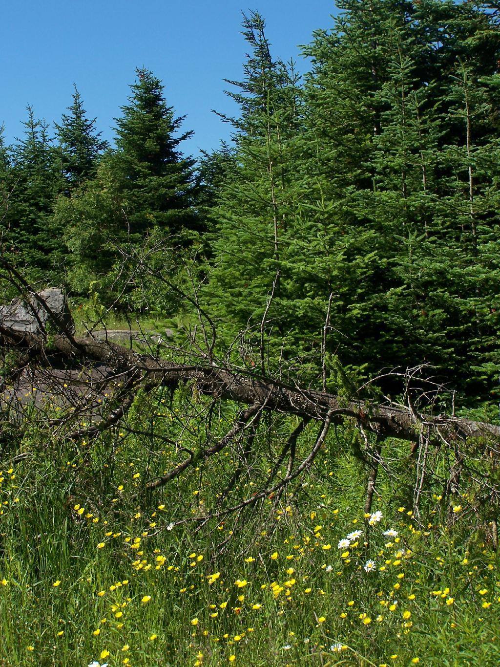
Flowers on the top of the mountain.

 Wildflowers

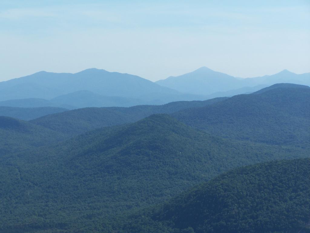
To the north-east there are views of the High Peaks Mountains. They probably woudln’t be as clear on a hazy day.

Mount Marcy in Distance

Tirnell Mountain is privately owned to the east, and you can see some active logging on it.

Tirnell Mountain

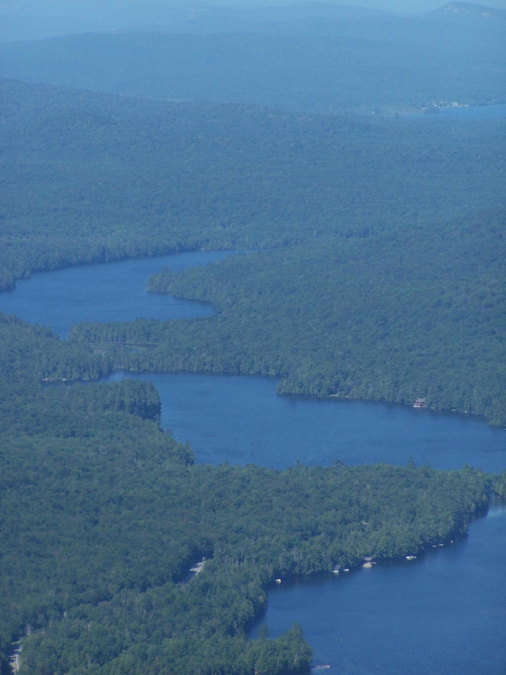
Seventh and Eight Lake as seen from Blue Mountain.

Fulton Chain of Lakes

Here is a map of the hike.

How Much Recreational Development is Allowed in the Forest Preserve?

Most people probably agree it’s not the intent of the original drafters of the state consitution to allow totally unbridled development in the forest preserve. Article XIV Section 1 of the State Constitution states:

The lands of the state, now owned or hereafter acquired, constituting the forest preserve as now fixed by law, shall be forever kept as wild forest lands. They shall not be leased, sold or exchanged, or be taken by any corporation, public or private, nor shall the timber thereon be sold, removed or destroyed. [… exceptions removed]

It’s pretty clear that on Forest Preserve lands that the following is totally inappropriate:

  • Commerical facilities, such as shopping or amusements.
  • Government facilities that are not primarily rustic in character (i.e. wooden administrative cabins and barns that lack plumbing and electricity)
  • Highly developed recreation facilities, such as large metal or concrete luge tracks, ski slopes
  • Asphalt roads, and those roads designed for movement of vehicles not exclusively for the forest preserve use, or for speeds greater then 25 MPH.
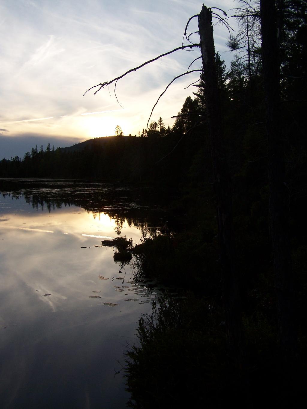
Goodnight Mr Sun

Controlling Principles Of Recreation in the Forest Preserve.

I think most people can agree forest Preserve must have an essentially wild character. Indeed, that is what the Court of Appeals upheld in Association for Protection of Adirondacks v MacDonald (253 N.Y. 234, affg 228 App Div 73, 1930), as I shared earlier this week. If you missed this earlier in the week, this case’s essence is cited in Balsam Anglers Club v. DEC (153 Misc. 2d 606, 1991).

Respondents adopted the UMP in furtherance of the Catskill Park State Land Master Plan, which was adopted in order to provide classifications and guidelines for the uniform protection and management of State-owned lands within the Catskill Forest Preserve. Under the UMP, respondents intend to construct a number of small parking areas providing access to trails and primitive campsites, to relocate certain trails to avoid private lands and to construct new trails within the Balsam Lake Mountain Wild Forest area. Since respondents must necessarily cut a certain number of seedlings, saplings and trees to complete such projects, petitioner contends that the UMP is in violation of article XIV, § 1 of the New York State Constitution. p>The Constitution provides, “[t]he lands of the state, now owned or hereafter acquired, constituting the forest preserve as now fixed by law, shall be forever kept as wild forest lands. They shall not be leased, sold or exchanged, or be taken by any corporation, public or private, nor shall the timber thereon be sold, removed, or destroyed.” Petitioner contends that the cutting of as many as 2,000 “trees”, most of which are less than three inches diameter at breast height, constitutes the removal or destruction of timber.

This specific constitutional issue has rarely been litigated. The Court of Appeals and the Appellate Division in Association for Protection of Adirondacks v MacDonald (253 N.Y. 234, affg 228 App Div 73) addressed legislation authorizing the construction of a bobsled run within the Adirondack Forest Preserve for the 1932 Winter Olympics.

The Appellate Division addressed the legislative history of the New York State Constitution and found an intent to prevent any actions “which might convert this preserve into anything but a wilderness” (228 App Div, at 79). However, the Appellate Division found that the framers of the New York State Constitution obviously distinguished between “timber” and any form of tree or wood. They quoted the framers as stating, “[a]ny campers that cannot pick up something on the shores, that will not be timber, to warm themselves with, would better either carry in their fuel or stay out” (supra, at 78). (emphasis added)

The Appellate Division also discussed the 1915 Constitutional Convention which sought to change the wording of the New York State Constitution to “trees and timber” (supra, at 79). Thereafter, the Appellate Division found that the project involved “the cutting of 2,600 trees which must unquestionably be regarded as of `timber’ size” (supra, at 82).

Based upon an 609*609 agreed statement of facts, all 2,600 trees were in excess of 3 inches diameter at breast height, 480 trees were in excess of 8 inches and 33 trees were in excess of 20 inches. The project involved total clearing of between 4 and 5 acres, some of which constituted first growth hardwoods and involved the removal of some 60,000 board feet of timber. The Appellate Division held the legislation unconstitutional based both upon the substantial destruction of timber and the nature of the proposed project.
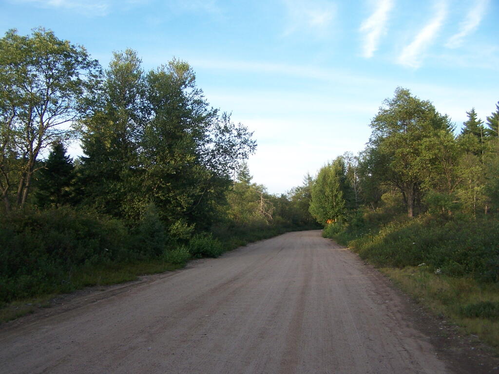
Moose River Plains Road

The citation of Helms v. Reid, 90 Misc. 2d 583 gives further incite into the Assocation for the Protection of Adirondacks vs McDonald case:

The major case interpreting the “forever wild” clause is Association for Protection of Adirondacks v MacDonald (228 App Div 73, supra). The question before that court was whether a statute passed by the Legislature providing for the construction of a bobsled run on forest preserve land and the necessary cutting of some 2,600 trees was violative of section 7 of article VII of the Constitution (presently art XIV, § 1). The Appellate Division had carefully traced the adoption of the forest preserve language and then made a careful inspection of the record from the 1894 Constitutional Convention where the “forever wild” clause language was adopted as a proposed amendment to the Constitution. The Appellate Divison concluded that the constitutional mandate was clear and in declaring the statute unconstitutional stated at page 81: “Giving to the phrase `forever kept as wild forest lands’ the significance which the term `wild forest’ bears, we must conclude that the idea intended was a health resort and playground with the attributes of a wild forest park as distinguished from other parks so common to our civilization. We must preserve it in its wild nature, its trees, its rocks, its streams. It was to be a great resort for the free use of all the people, but it was made a wild resort in which nature is given free rein. Its uses for health and pleasure must not be inconsistent 595*595 with its preservation as forest lands in a wild state. It must always retain the character of a wilderness. Hunting, fishing, tramping, mountain climbing, snowshoeing, skiing or skating find ideal setting in nature’s wilderness. It is essentially a quiet and healthful retreat from the turmoils and artificialities of a busy urban life. Breathing its pure air is invigorating to the sick. No artificial setting is required for any of these purposes. Sports which require a setting that is man-made are unmistakeably inconsistent with the preservation of these forest lands in the wild and natural state in which Providence has developed them.”
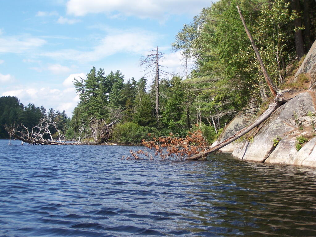
Many Downed Trees

What About Developing More Modest Recreation Facilities in Forest Preserve?

Certainly building a bob sled run would have been a massive project with visible impacts on the mountain vistas where the timber was removed, the steel infrastructure of the bob sled run, and the general changes the wild forest character. But what about more minor projects, e.g.

  • Scenic Vista Cut Along Trails
  • Primative tent campsites, along lakes, streams, or in the woods.
  • Roadside campsites with vehicular access.
  • State Campgrounds with Flush Toilets and Showers.
  • Horse stalls and horse barns.
  • Construction of hiking trails that require the cutting of brush or a de minis amount of timber.
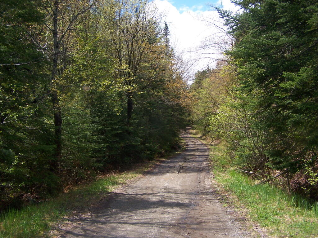
  • Construction of snowmobile trails that potentially could involve cutting a larger amount of timber.
  • Horse trails that require the cutting of brush or a de minis amount of timber.

Moose Pond Way

The Case Law on Recreational Facilities in the Forest Preserve.

We learn in Helms v. Reid, 90 Misc. 2d 583 some of debates surrounding adoption of Article XIV Section 1 of the State Consitution, and how the Consitutional Convention of 1894 intended not to prohibit “all things necessary” to provide public access and not damage the forst preserve.

The Court of Appeals decision in MacDonald is of great importance and must necessarily be the guiding light in the analysis of the “forever wild” clause which this court must follow in rendering its opinion. At page 238 Judge CRANE states: “The words of the Constitution, like those of any other law, must receive a reasonable interpretation, considering the purpose and the object in view. (State of Ohio ex rel Popovici v. Agler, 280 U. S. 379.) Words are but symbols indicating ideas and are subject to contraction and expansion to meet the idea sought to be expressed; they register frequently according to association, or like the thermometer, by the atmosphere surrounding them. The purpose of the constitutional provision, as indicated by the debates in the Convention of 1894, was to prevent the cutting or destruction of the timber or the sale thereof, as had theretofore been permitted by legislation, to the injury and ruin of the Forest Preserve. To accomplish the end in view, it was thought necessary to close all gaps and openings in the law, and to prohibit any cutting or any removal of the trees and timber to a substantial extent.”

This language sets forth that the purpose of the “forever wild” clause was to prevent the commercial exploitation of the forest preserve which had previously been sanctioned by the Legislature, and it appears to be the court’s feeling that some cutting is permissible as long as it is not a substantial amount. Continuing on page 238: “The Adirondack Park was to be preserved, not destroyed. Therefore, all things necessary were permitted, such as measures to prevent forest fires, the repairs to roads and proper inspection, or the erection and maintenance of proper facilities for the use by the public which did not call for the removal of the timber to any material degree.”

This language indicates the court’s recognition of the fact that even though the Constitution was intended to protect and preserve our natural forest lands, such protection does not prohibit use and enjoyment of the areas by the people of the State. Such a principle is based upon the theory that the forest preserve was for the use and benefit of the people and was not to be an isolated area in which no man would wander. (People v Adirondack Ry. Co., 160 N.Y. 225, affd 176 US 335). (emphasis added)

While the Court never ruled on these matters in Helms, plantiff Herbert R. Helms cited that the State Conservation Department, made major changes and “man-made improvements” to the Adirondack Forest Preserve, over the past 50 years, many of them of questionable consitutional virtue under McDonald, abit never challenged in court.

The first cause of action in the complaint sets forth the “forever wild” clause and then lists various uses undertaken within the forest preserve in the past and present by the New York State Department of Environmental Conservation (ENCON), which the plaintiffs contend destroy the wild forest nature of the preserve because they all entail cutting significant amounts of timber and over use of the forest preserve area. The purported misuses are as follows: construction of 42 or more public campsites; dirt access roads to these campsites, along with various outbuildings, facilities, boat launchings, sewage disposal systems and the maintenance thereof; construction of hundreds of lean-tos, trails, jeep trails, fire roads 587*587 and paved roads other than those specifically authorized by the Constitution; construction and maintenance of ranger stations, fire watch towers, telephone and electrical transmission lines, as well as other utility lines; construction of boat launchings, parking lots and tent platforms; overuse and misuse of backwoods causing unreasonable widening of trails, littering and defoliation of areas, and finally allowing private individuals to adversely possess forest preserve lands to the preclusion of other citizens.

Helms cites McDonald in saying limited development and recreation is allowed in the park, as long as it’s primarily primative in nature:

“What may be done in these forest lands to preserve them or to open them up for the use of the public, or what reasonable cutting or removal of timber may be necessitated in order to properly preserve the State Park, we are not at this time called upon to determine. What regulations may reasonably be made by the Commission for the use of the park by campers and those who seek recreation and health in the quiet and solitude of the north woods is not before us in this case. The Forest Preserve and the Adirondack Park within it are for the reasonable use and benefit of the public, as heretofore stated. A very considerable use may be made by campers and others without in any way interfering with this purpose of preserving them as wild forest lands. (See `The Problem of the Wilderness’ by Robert Marshall in `The Scientific Monthly’, Feb. 1930, p. 141.)”
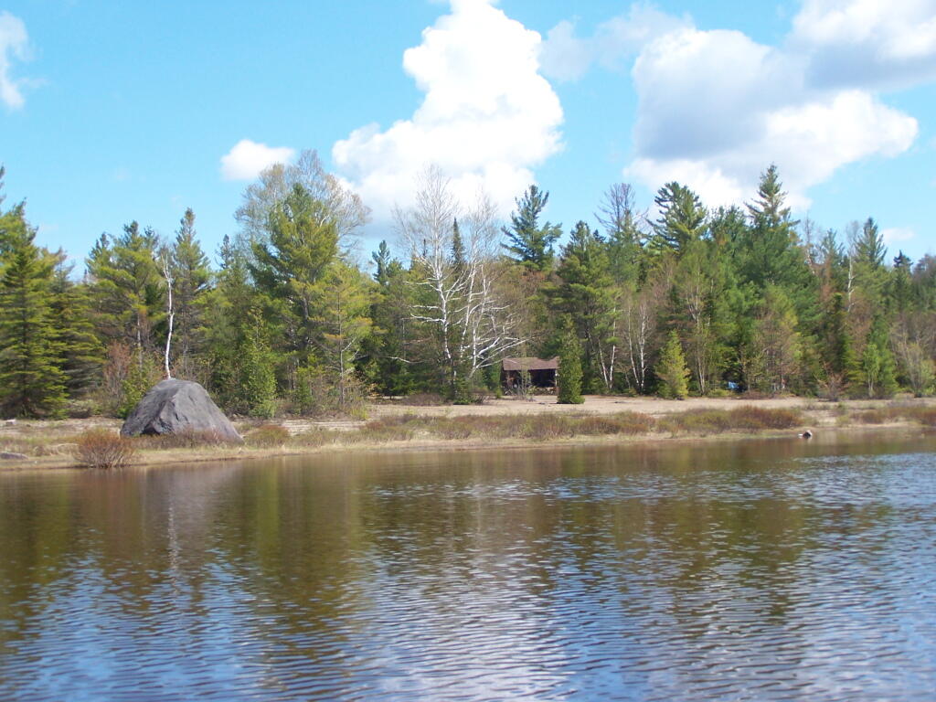
Cheney Pond Lean-To

Helms goes further to state:

If we assume that a constitutional amendment is not necessary for every use in the preserve which requires a cutting of timber, then we must apply our reasonableness standard to proposed uses. The question then becomes, who is to apply this standard?

It would appear that although the Constitution has deprived the Legislature of any power to authorize a cutting of timber in the forest preserve for commercial purposes, it has not deprived that body of its power with respect to public purposes. The MacDonald decision has allowed the Legislature the power to make reasonable regulations as to this public use and preservation, and such use and preservation must necessarily include some cutting of timber.

Since the Legislature still retains at least this limited authority, it may properly delegate this authority to the administrative agency best adapted to applying the principles heretofore enumerated. This is precisely what our Legislature has done by the creation of the Adirondack Park Agency. (emphasis added)

While ultimately Helms went on to decline an attempt to overturn float plane restrictions in newly designated “Wilderness” areas, first implemented by Governor Rockefeller’s Environmental Conservation Commissioner, Henry Diamond, it did include this important note:

In the discussion of the “forever wild” clause it was pointed out that the preserve was not to be closed to the public, but was to be held open for all of the public to enjoy in its natural wild state. Therefore, plaintiffs’ main theory is correct, and any regulation which arbitrarily restricts public access to or a reasonable public use of the lands in the preserve is violative of section 1 of article XIV.
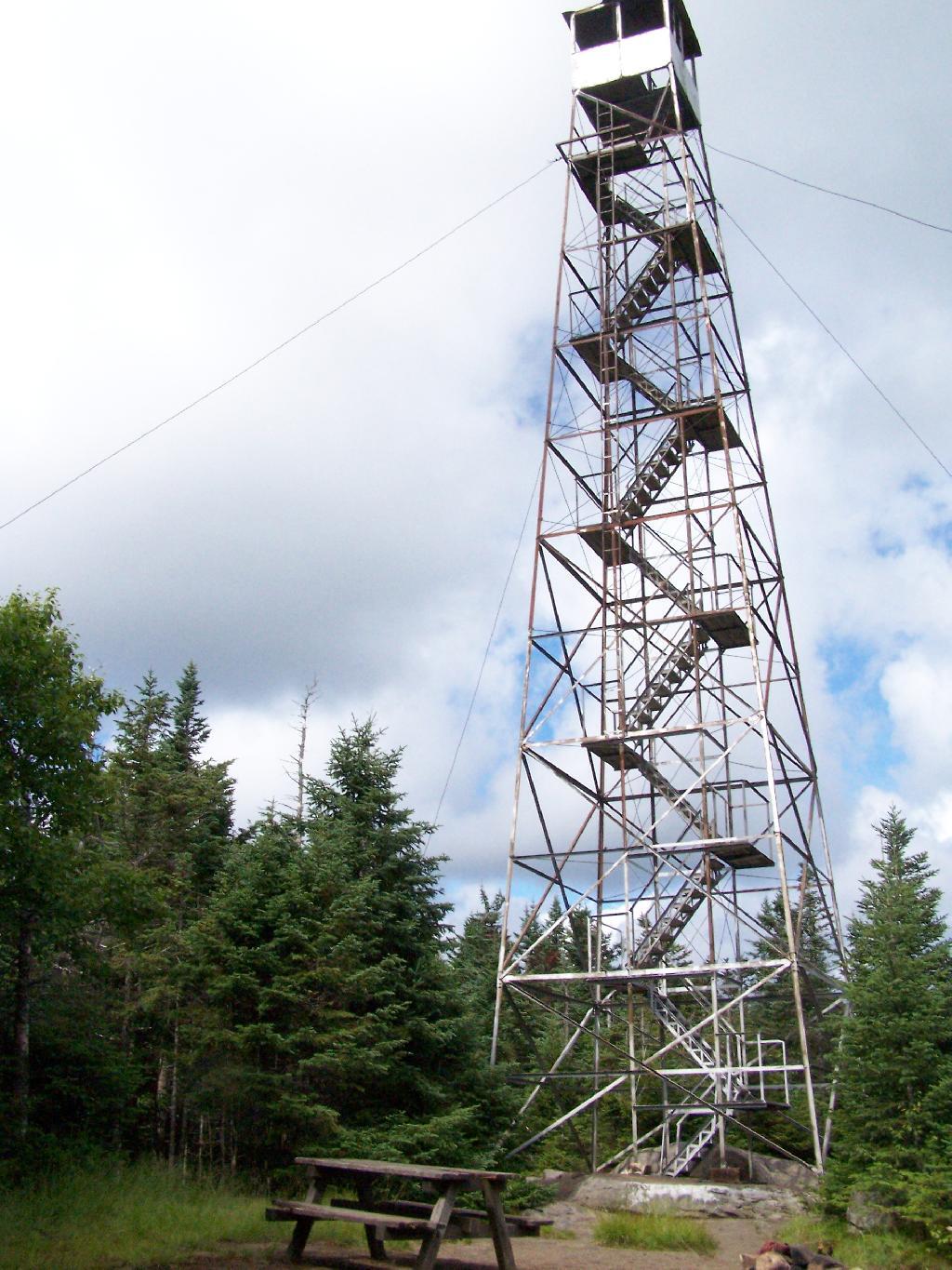
Wakley Fire Tower

The principle of limited development of the Adirondack and Catskill Forest Preserve, to enhance public access was upheld most recently in Balsam Lake Anglers Club v Department of Environmental Conservation (upheld on Appeal to 2nd Appelate Division). It states:

Respondents adopted the UMP in furtherance of the Catskill Park State Land Master Plan, which was adopted in order to provide classifications and guidelines for the uniform protection and management of State-owned lands within the Catskill Forest Preserve. Under the UMP, respondents intend to construct a number of small parking areas providing access to trails and primitive campsites, to relocate certain trails to avoid private lands and to construct new trails within the Balsam Lake Mountain Wild Forest area. Since respondents must necessarily cut a certain number of seedlings, saplings and trees to complete such projects, petitioner contends that the UMP is in violation of article XIV, § 1 of the New York State Constitution.

The Constitution provides, “[t]he lands of the state, now owned or hereafter acquired, constituting the forest preserve as now fixed by law, shall be forever kept as wild forest lands. They shall not be leased, sold or exchanged, or be taken by any corporation, public or private, nor shall the timber thereon be sold, removed, or destroyed.” Petitioner contends that the cutting of as many as 2,000 “trees”, most of which are less than three inches diameter at breast height, constitutes the removal or destruction of timber.

This specific constitutional issue has rarely been litigated. The Court of Appeals and the Appellate Division in Association for Protection of Adirondacks v MacDonald (253 N.Y. 234, affg 228 App Div 73) addressed legislation authorizing the construction of a bobsled run within the Adirondack Forest Preserve for the 1932 Winter Olympics. The Appellate Division addressed the legislative history of the New York State Constitution and found an intent to prevent any actions “which might convert this preserve into anything but a wilderness” (228 App Div, at 79). However, the Appellate Division found that the framers of the New York State Constitution obviously distinguished between “timber” and any form of tree or wood. They quoted the framers as stating, “[a]ny campers that cannot pick up something on the shores, that will not be timber, to warm themselves with, would better either carry in their fuel or stay out” (supra, at 78). The Appellate Division also discussed the 1915 Constitutional Convention which sought to change the wording of the New York State Constitution to “trees and timber” (supra, at 79). Thereafter, the Appellate Division found that the project involved “the cutting of 2,600 trees which must unquestionably be regarded as of `timber’ size” (supra, at 82). Based upon an 609*609 agreed statement of facts, all 2,600 trees were in excess of 3 inches diameter at breast height, 480 trees were in excess of 8 inches and 33 trees were in excess of 20 inches. The project involved total clearing of between 4 and 5 acres, some of which constituted first growth hardwoods and involved the removal of some 60,000 board feet of timber. The Appellate Division held the legislation unconstitutional based both upon the substantial destruction of timber and the nature of the proposed project.

The Court of Appeals in affirming the Appellate Division determination rejected the absolutist argument that not even a single tree or even fallen timber or deadwood could be removed and stated that the constitutional provision must be interpreted reasonably. “[A]ll things necessary were permitted, such as measures to prevent forest fires, the repairs to roads and proper inspection, or the erection and maintenance of proper facilities for the use by the public which did not call for the removal of the timber to any material degree. The Forest Preserve is preserved for the public; its benefits are for the people of the State as a whole. Whatever the advantages may be of having wild forest lands preserved in their natural state, the advantages are for every one within the State and for the use of the people of the State. Unless prohibited by the constitutional provision, this use and preservation are subject to the reasonable regulations of the Legislature” (supra, 253 NY, at 238-239). It is thus clear that the Court of Appeals determined that insubstantial and immaterial cutting of timber-sized trees was constitutionally authorized in order to facilitate public use of the forest preserve so long as such use is consistent with wild forest lands.

With respect to the relocation of the Hardenberg Neversink Trail challenged herein, petitioner contends that the amount of cutting is of constitutional dimension. The relocated trail is in excess of two miles long and is approximately six feet wide. With the trail approximately 80% completed, 73 trees of timber size, that is three inches or more, have been cut, including one nine-inch tree and one six-inch tree which was dead. The remaining trees are three, four or five inches in diameter. It is estimated by the court that the entire cutting, including trees not of timber size, that is, less than three inches, amounts to little more than one cord of firewood. The great majority of such cutting will be completely decomposed within a few years leaving no trace of their existence but 610*610 providing increased growth opportunity for the remaining trees in the forest.

It is therefore determined the amount of vegetation, seedlings, saplings and timber-sized trees destroyed so far in the construction of the relocated Hardenberg Neversink Trail is not constitutionally prohibited, nor is the number of trees planned to be removed to complete such relocation. While the actual route for the Millbrook Ridge Trail has not been chosen and it is not known how many trees, saplings, seedlings and other vegetation must be destroyed, it may be presumed that the Department of Environmental Conservation, pursuant to its regulations concerning the construction of trails and the destruction of trees and timber, will comply with the provisions of the New York State Constitution. In the event that the Department of Environmental Conservation does not comply, petitioner could certainly challenge the specific trail route or construction techniques at an appropriate time.

Petitioner also contends that the construction of new trails in the Balsam Lake Mountain Wild Forest area violates that portion of the New York State Constitution which requires that forest preserve lands “be forever kept as wild forest lands”, arguing that new trails will increase human activity, thereby necessarily making such areas less wild. Based upon the decisions of the Appellate Division and Court of Appeals in Association for Protection of Adirondacks v MacDonald (supra), it appears that the framers of the New York State Constitution intended not to prevent or hinder public use of the forest, but to allow forested areas to revert to their natural or wild state without human interference with the natural succession of different types of trees, selective cutting or thinning to “improve” the timber, or the harvesting of any mature timber. There is no indication of any intent to maintain the forest in an “absolutely” wild state with no organized human alteration or intervention at all.

The Court of Appeals specifically held that facilities consistent with the nature of the forest preserve could be constructed for the use by the public, including camping and hiking. Such use facilitated by the construction of new trails or increasing parking and camping areas will almost certainly degrade the pristine quality of certain areas of the forest preserve. While it may be desirable to initiate a policy to refrain from actions which will have the effect of increasing human activity, such issues are not of constitutional dimension unless significant cutting of timber is involved. Accordingly, it is declared that the Unit Management Plan adopted for the Balsam Lake Mountain Wild Forest area does not violate the provisions of article XIV of the New York State Constitution.
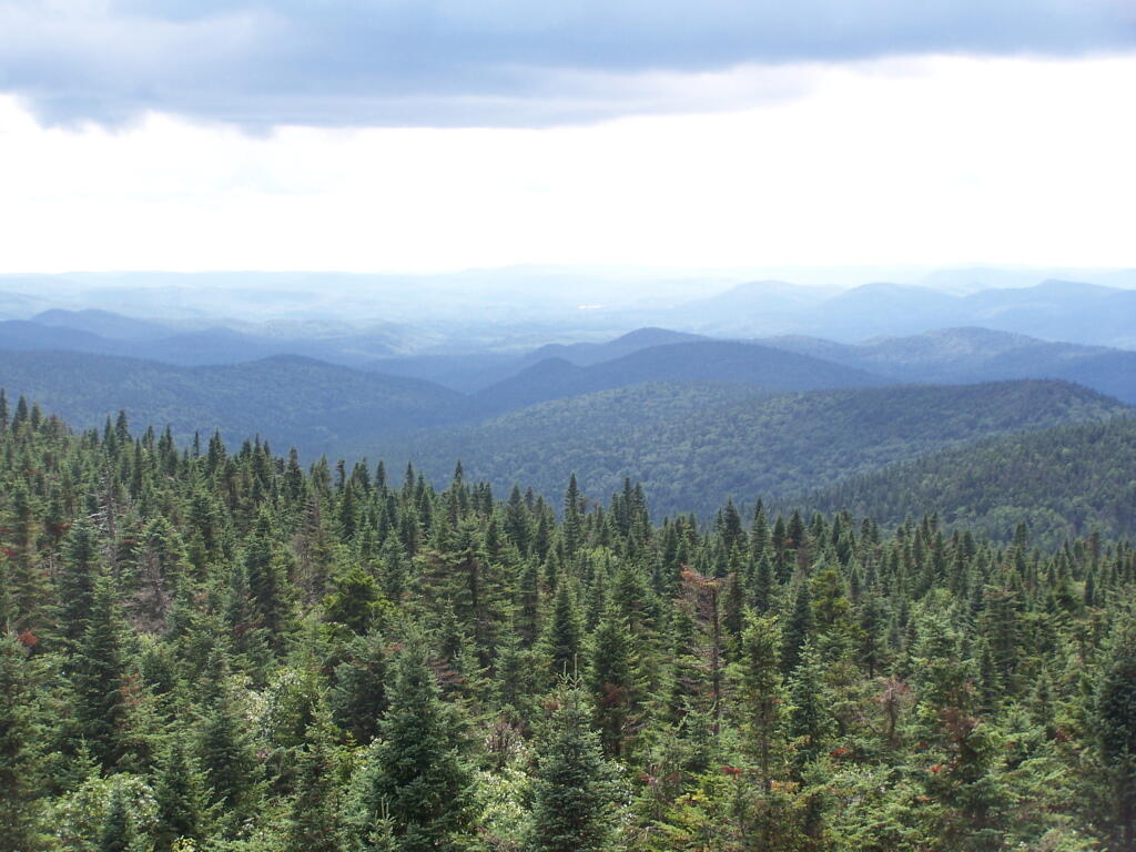
Towards Indian Lake

What is the Standard Held This Cases?

Over the years, the courts have created a certain principles on recreation facilities in Adirondacks. Distilled down, one can probably agree that courts in NY State hold:

  • Any project to be constructed in forest preserve must cut as few trees as possible, particularly of timber-grade trees, those larger then 3″ in diameter. Any project requiring significant timber cuts are unconstitutional.
  • There is a clear preference towards development of facilities in natural meadows and brushy areas, locating paths, trails, and roads on existing old woods road rather then cutting new roadways or trails through the woods.
  • Limited timber cutting is allowed for essentially wild forest purposes, such as campsites and trail location. It must be as limited as practical.
  • Any developed facilities must be rustic in nature (wood, painted brown), and must exist solely to complement forest preserve uses such as primative camping, hiking, hunting and fishing.
  • Intensive use areas are allowed, such as developed state campgrounds or firetowers, but they can not change the forest character or require the excessive removal of timber.
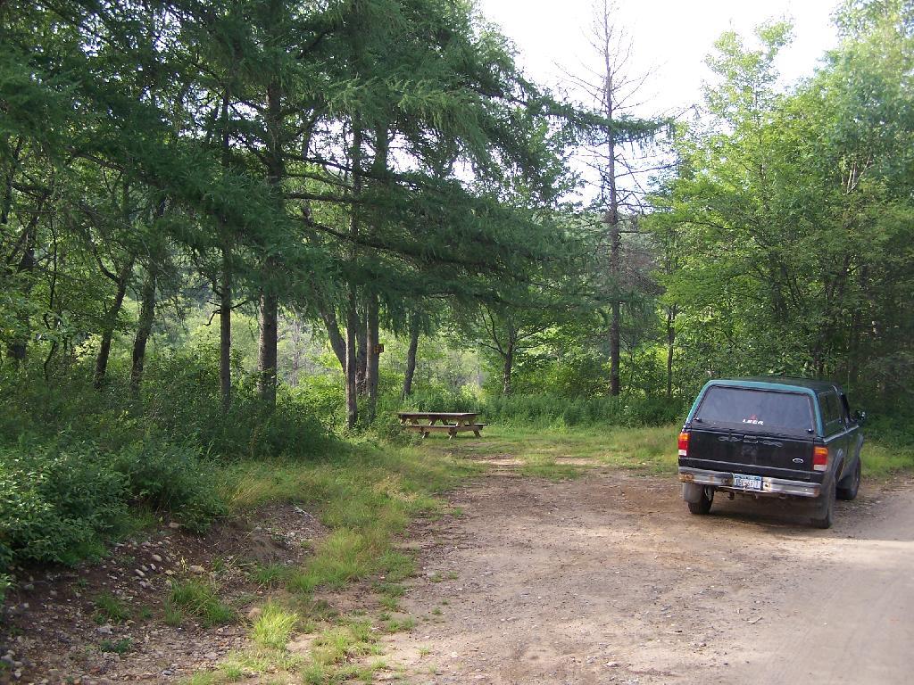
Tiny Roadside Campsite

… the courts have sought a balance between recreational demands and keeping the primarily wild nature of forests wild.

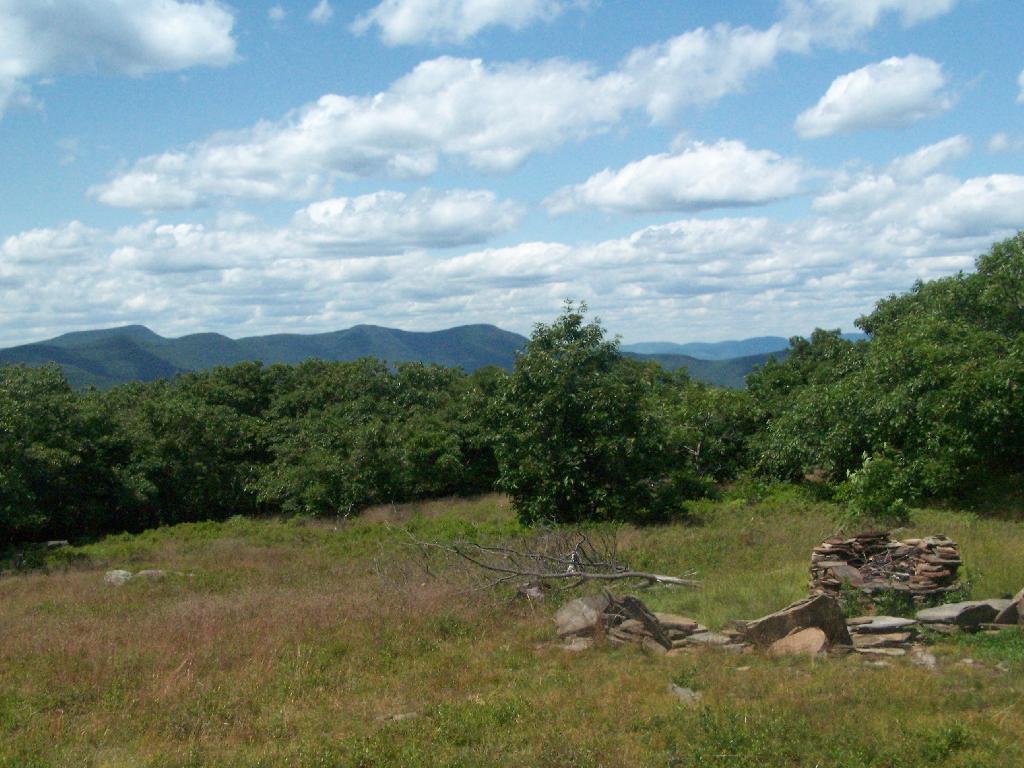
Twin Mountain

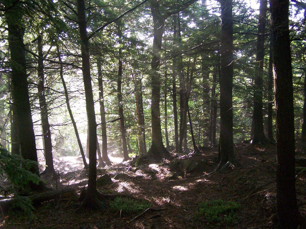
On Sunday I went for a hike a top of Twin Mountain. After getting up early on a Saturday morning, it was an interesting drive up Platte Clove Road in the morning. Everything was still wet in the woods from the previous night’s rain, it made some rather pretty god rays coming through the trees.

Fog

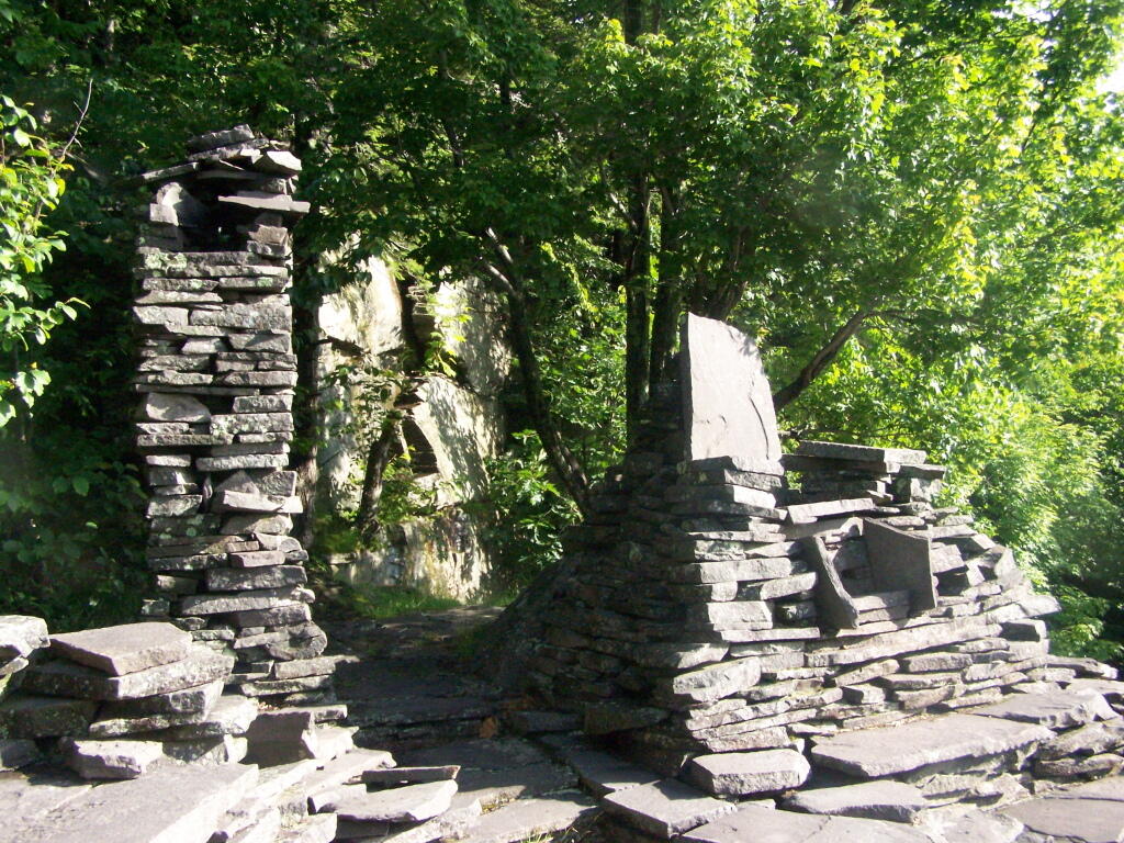
As you continue up the trail, there is a set of stone chairs in an old query.

Chairs

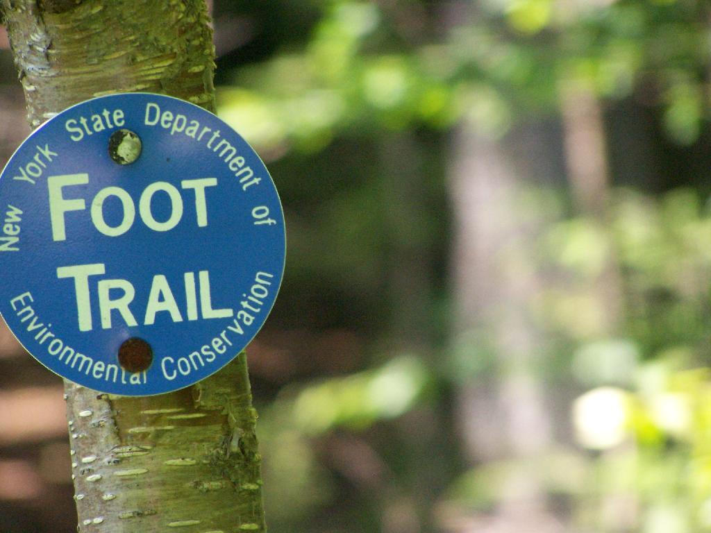
Following the Blue Trail.

Blue Marker

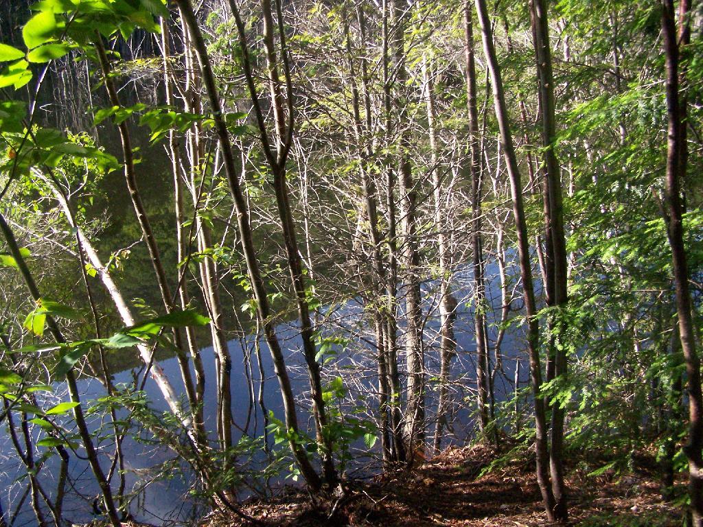
As you reach the the top of Pecoy’s notch there is a pretty Beaver Swamp between Twin and Sugar Loaf Mountains.

Beaver Swamp

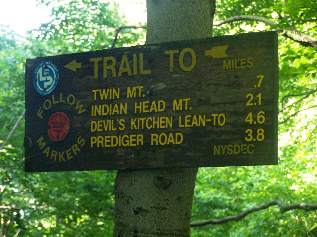
The sign to Twin Mountain says .7 miles remaining, but it’s a steep .7 miles to reach the top.

To Twin Montain

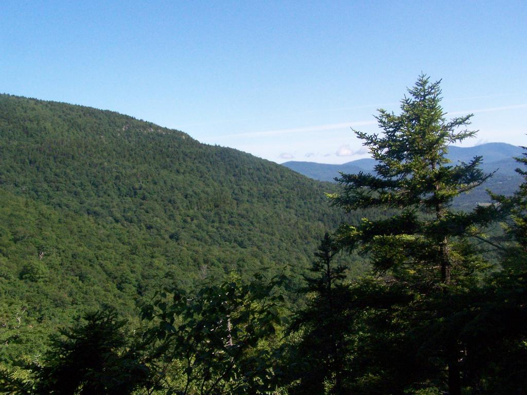
The views climbing the mountain show TriMount in the background and Sugar Loaf in the foreground.
Sugar Loaf and TriMount

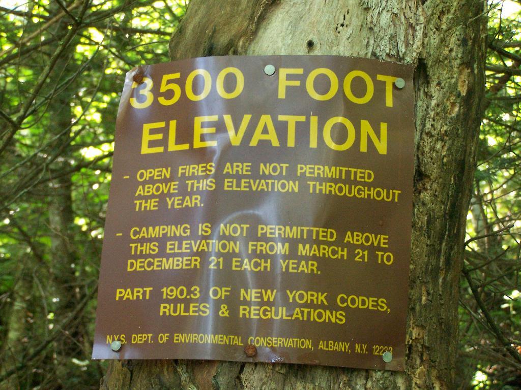
Finally you reach 3,500 feet elevation, and shortly there after the top of the western most peak of Twin Mountain.
3500 Feet Elevation Marker

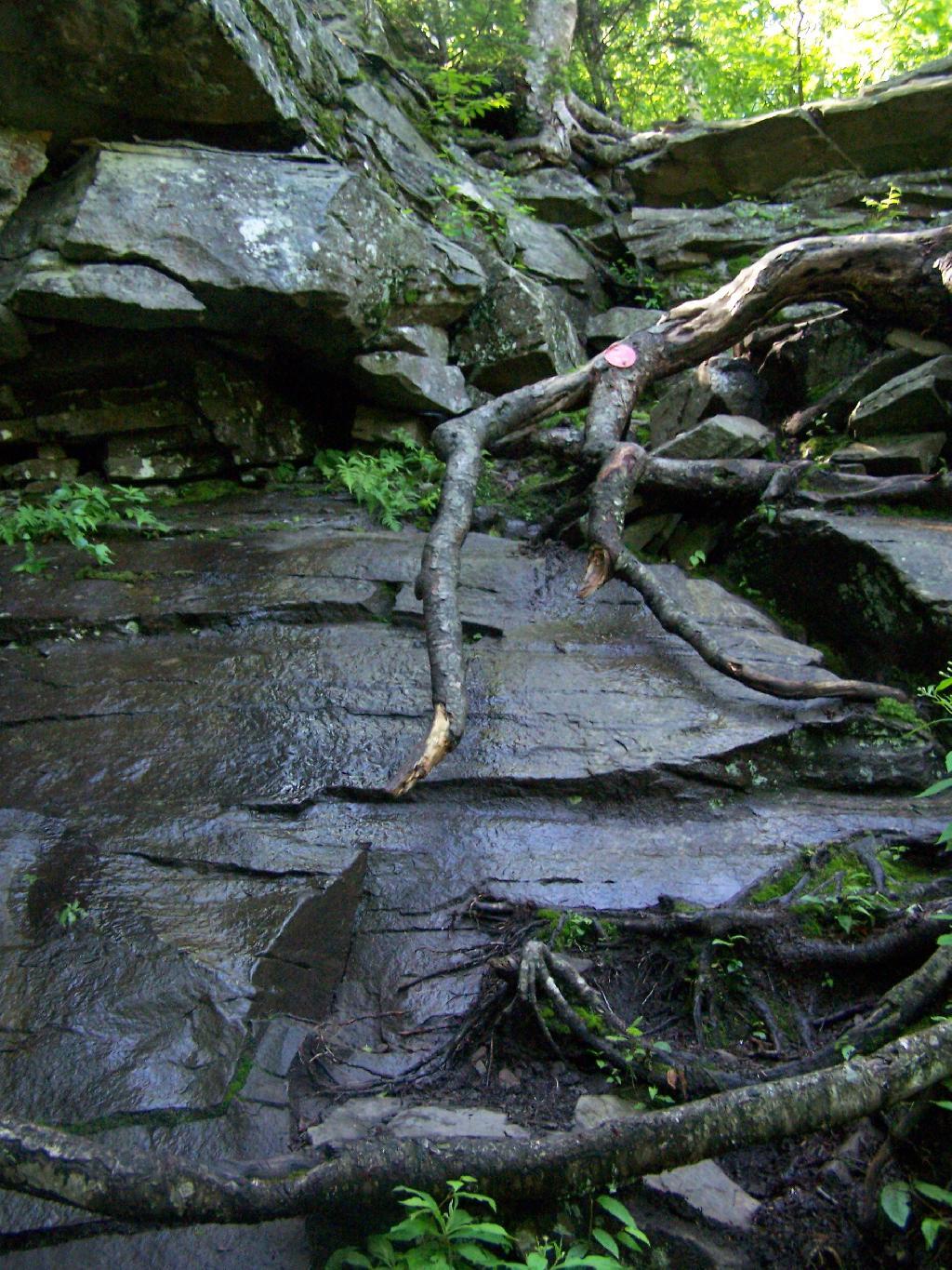
The trail is certainly steep at times. You have to climb up this wet rock face, with limited handholds for about 20 feet. Scratched up my radio doing this, and somewhat took my breath/sense of fear of heights when doing it.

Right Up the Rock Face

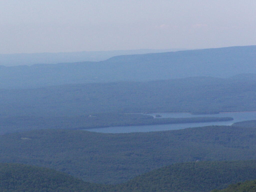
The views of South Hunter Mountain, Platteau from the western peak of Twin are great. Also, don’t forget to continue on for another 1/2 mile down a dip and back up to the other peak of Twin Mountain.

Ashokan Reservior

Municipal Trash Incinerators in Upstate NY (Google Maps)

These incinerators are sorted by their size, with the largest ones up top, and smallest ones below. These numbers are converted from the yearly numbers of the DEC, to average tons per day, as calculated in standard format for landfills (21-day months).

Incinerators normally are rated by 31-day months, as they typically burn trash year round, unlike landfills which are closed on Sundays and all Major Holidays, and also work only half days on Saturdays. For the sake of comparison, 31-day incinerator tonnages where converted to 21-day landfill tonnages. Tonnages can vary per day, as incinerators are not rated on the tonnage of waste they may accept, but how many BTUs of energy are produced by burning the waste. Incinerators burning larger volumes highly combustable wastes, such as tires or roofing material, must reduce their tonnage to comply with air quality permits.

Incinerated waste produces bottom (unburnable stuff) and fly ash (toxic by-products of combustion captured in various smoke stack filters), which must be disposed at a landfill, so for example, the 1,266 tons per day incinerator in Ondononga County still produces an average of 316 tons per day of ash that is currently sent to the Seneca Falls Landfill off of NY 414.

Also, it should be noted the minimal electricity protection of these facilities. The largest incinerator in Upstate NY, produces only 67 MW of electricity, compared to even modest new power plants such as the new 635 MW Besicorp Natural Gas Plant in Rennselear or the 750 MW Bethlehem Steam Station Natural Gas Plant in Glenmont. All of the incinerators in Upstate NY, produce far less electricity (124 MW) then this one power plant.

Niagara Falls.


View Larger Map

MSW Processed: 3,869 tpd – Ash Generated: 906 tpd – Reduction in Tonnage: 24% – Average Electricity Sold: 24 MW/hr + steam

Westchester County.


View Larger Map

MSW Processed: 2,778 tpd – Ash Generated: 665 tpd – Reduction in Tonnage: 24% – Average Electricity Sold: 67 MW/hr

Onondaga County.


View Larger Map

MSW Processed: 1,266 tpd – Ash Generated: 316 tpd – Reduction in Tonnage: 25% – Average Electricity Sold: 23 MW/hr

Hudson Falls.


View Larger Map

MSW Processed: 688 tpd – Ash Generated: 215 tpd – Reduction in Tonnage: 31% – Average Electricity Sold: 10 MW/hr

Dutchess County.


View Larger Map

MSW Processed: 599 tpd – Ash Generated: 177 tpd – Reduction in Tonnage: 30% – Average Electricity Sold: 5 MW/hr

Oswego County.


View Larger Map

MSW Processed: 290 tpd – Ash Generated: 87 tpd – Reduction in Tonnage: 36% – Average Electricity Sold: 0.6 MW/hr + stream

Kayaking Hitchens Pond & Lows Lake, Aug 13

The Bog River Flow, also known as Lows Lake is a spectacular wilderness/primitive area located in South-East Saint Lawerence County. It consists of two dams, Lows Upper and Lows Lower, that create to massive man-made lakes. It is home to over 100 paddle in campsites along with some amazing views and wildlife.

Here is a downloadable map.


Above Lower Lows Dam. Paddling up the “flooded” Bog River, in the lower portion of Bog River flow, right above the Lower Lows Dam. If this area was not flooded by dams, it would be rapids, unaccessible by canoe or kayak.

Above Lower Lows Dam

Chimpmunk Swims. This was taken about a mile above the Lower Lows Dam.

Chimpmunk Swims

Bog River Flow Narrows. The Lower portion of the Bog River, is pretty narrow in part, due to the rocky terrain that it covers. You can easily bottom out a canoe or kayak in these parts, and other parts appear quite deep. There are a couple of paddle-in campsites along here.

 Bog River Flow Narrows

Bog River Open Up A Little Bit. The first mile or so of the Bog River Flow is mostly flooded stream. But as you get closer to Hitchens Pond, it starts to widen a bit.

Bog River Open Up A Little Bit

Entering Hitchens Pond. Just past here, is a hairpin turn, as the flooded River, winds a bit, and becomes a much larger lake, in the form of a series of bays and marshes.

Entering Hitchens Pond

Hitchens Pond. Here things open up quite bit.

Hitchens Pond

Lows Ledge. Here is Lows Ledge reflecting into Hitchins Pond. It’s much larger in person then it appears in this picture, unless you have a very big computer monitor.

Lows Ledge

Railroad Bridge. About two miles into Bog River Flow, you cross under a relatively low railroad bridge. It’s actually about 5 or 6 feet above the flow, and doesn’t feel at all cramped in a canoe or kayak.

Railroad Bridge

Under the Railroad Bridge. This shouldn’t be too bad to clear.

Under the Railroad Bridge

Trees Along Hitchens Pond. This picture can’t even reflect the beauty of this portion of Bog River Flow.

Trees Along Hitchens Pond

Break Time. Drinking all that beer, meant I had to find a place along the Flow to get out, stretch, and take a piss. Things being so boggy and soft in parts, meant there wasn’t a lot of open area to take a break.

Spokey Nights at Camp

Lows Ledge. I’m now about halfway between Lows Lower Dam and Lows Upper Dam, as the ledge reflects beautifully into the lake. It’s a very spiritual thing for sure, paddling along through this lake.

Lows Ledge

Clouds Rolling Out. To the south, it looked still quite cloudy. But there was something quiet spiritual about the area, and quiet vast. Something also spoke to me as being Saint Lawrence County, and as vast as one would expect the biggest county in the state to be.

Clouds Rolling Out

The Channel. The lake turns once again, with beautiful marsh lands along the edge of the lake.

The Channel

Marshy. Portions of Hitchens Pond are quite marshy, and can be tough going, especially if one gets out of the channel.

Marshy

Trees. These trees line the last big turn at Hitchens Pond, where you finally get into the main bay, as you head towards the Upper Lows Dam.

Trees Along Hitchens Pond

Marshland. Along Hitchens Pond as we get closer to Lows Upper Dam.

Marshland

Lows Ledge. Now we are almost up to the portage for Lows Upper Dam. Quite purty I must say.

Lows Ledge

Kayakers Pull Out. You have to pull your boat out of the water, and carry it over the Lows Lake Upper Dam, about a 10 feet elevation, and maybe a 50 foot portage.

2020 US Census Urban Areas in New York State

Bog River Area Pull Off. A lot of people pull out here, for lunch. Or they can be fools, and not use the channel to bottom of the dam, and carry their canoes, an additional 1/4 mile for no real purpose, to get it over the Lows Upper Dam. Not like I would be that stupid, now right? Of course, I just covered my camera with beer, so I shouldn’t be opening my mouth.

These days won\'t last long

Lows Upper Dam. This is the last picture I got for the day, because I dropped the camera in a pool of beer in kayak, and things go wet. Eventually the camera dried out and started to work fine, but for now, we have to go pictureless. From here, the bottom portion of Lows Lake proper, above the Upper Lows dam, is much like the bottom part of Hitchens Pond, narrow, deep channel, that widens up.

Debar Pond

Above Upper Lows Dam. This is the channel above the Upper Lows Dam, which technically is Lows Lake now. About a mile up from here, the lake gets shallow, and you must portage up into the more open Lows Lake main section. Yes, the camera lens has beer in it, that now has to dry out before I can take any more pictures. Nothing until tomorrow. It’s my Friday the 13th luck and stupidity of leaving the camera in the kayak, not in it’s protective case, as I pull out, and spilled beer soaks everything.

Above Upper Lows Dam

Goodnow Mountain

Goodnow Mountain πŸ—» 🚢‍♀️

A couple of weeks ago I hiked up Goodnow Mountain, on a beautiful clear afternoon, that by the time I reached the mountain it started to cloud up and the humidity started to increase. I had previously in the morning attempted to hike up Giant Mountain in the High Peaks, and wanted to do something easier for the afternoon.

Goodnow Mountain is located at the SUNY ESF (Environmental Science-Forestry) College, just south of the Adirondack High Peaks on NY 28, just to the west of Newcomb. It’s a bit of a drive from the Adirondack Northway from the east or even a little ways from Long Lake to the west, but well worth it for the views.

 Trailhead Sign

About a quarter mile up the trail you pass an interesting tree grown over a rock. This is not as uncommon as you might think in the Adirondacks where the soils are poor and the ground is rocky, and trees seek to put down more roots to pick up nuetrants.

Tree Grown Over Rock

At about 1/2 mile you reach the old woods road that at one time, decades ago, provide vehicular access to the tower for forest rangers. Part of the trail is flat, but then it keeps steeper and erosion is noticable on the old road bed, no longer passable by anything then ATV in an emergency.

Trail Follows Old Woods Road

Rougher Part of the Trail

Further up the mountain, the trail follows a series of boardwalks that keeps most of the trail out of the mud and the muck.

Boardwalk

Then you reach an old abandoned barn, a well, and some interesting old debris like what appears to be a tank from a hot water heater storage unit.

Old Barn on Goodnow

Old Well

Old Water Tank

You ascend a ledge, with some limited views to the south.

South East from Ledge

Then their is a thick planation of White Pines along the trail as you make one relatively short ascent to the firetower.

Thick White Pines

Eventually at the last possible moment, you break through the White Pines to see the Goodnow Firetower, and almost instantly want to start climbing it for the views, unless your suffering from heat exhaustion, then you might want to look for the relatively limited shaded but open sections on the mountain.

Goodnow Firetower

Open Window

SUNY ESF has restored to the Ranger’s cabin, and the porch is a farely popular place to sit, enjoy the view, beat the heat for a few moments.

SUNY ESF Ranger's Station

There are many interesting views from the firetower. Here are the High Peaks looking North, the Vanderwhacker Wild Forest to the east, Kempshall Mountain / Long Lake to the west, and Blue Mountain / Blue Ridge to the South.

High Peaks and Newcomb

Vanderwhacker Wild Forest

South from Tower

Here is a map of the hike.

The Catskill Wilderness Areas

Trees and Mountains

The text of today’s fodder is based on the Catskill Park State Lands Master Plan, as revised in 2008. Maps were rendered by myself, using Quantum GIS and DEC Lands and Forests data.

Big Indian Wilderness

(Formerly Big Indian – Beaverkill Range Wilderness Area)

This wilderness is located in the Towns of Hardenburgh, Denning and Shandaken in Ulster County. It lies generally west of Oliverea and the Frost Valley Road, south of Belleayre Ski Center, east of Seager and Hardenburgh and north of Willowemoc and Claryville. The area ranges in width from 1 to 5 miles, is about 19 miles long and contains approximately 33,500 acres of land. Elevations range from 1,500 feet in McKenley Hollow to 3,840 feet where the state boundary crosses Doubletop Mountain. The mountains in the northeastern portion of the area are quite rugged, while those to the south and west are more characteristic of high hills. Water from the area flows into three New York City water supply reservoirs and the Delaware River Basin. Nine mountains or ridges with elevations of over 3000 feet make up the area.

Peaks

Doubletop* 3,860′
Haynes 3,420′
Big Indian 3,700′
Spruce 3,380′
Fir 3,620′
Eagle 3,600′
Hemlock 3,240′
Balsam* 3,600′
Beaver Kill Range 3,377′

* Maximum elevations given are not necessarily located within the Wilderness Area.

The forest cover is predominantly hardwood mixtures in various associations. Spruce and fir, while present at some of the higher elevations, are less noticeable here than in other Catskill wilderness areas.

Interior facilities consisting of foot trails and lean-tos are generally considered adequate.

Area statistics:

Approximate Area 33,500 Acres
Roads (non conforming) 1.4 Miles
Foot Trails 29.4 Miles
Lean-tos 6
Designated Campsites 5
Parking Lots 5
Public Use (visitors/year) 4,500
Exterior Boundary Line 67 Miles
Minimum Elevation 1,500′
Maximum Elevation 3,840′

Non-conforming uses:

Motor vehicle use of Black Bear Road from the wilderness boundary to Fall Brook Lean-to.

A UMP for this area was completed in June of 1993.

Hunter – West Kill Wilderness

(Formerly West Kill – North Dome Wilderness, Ox Clove Wild Forest, and a portion of the former Hunter Mountain Wild Forest)

The unit generally lies within the following boundaries: New York State Route 42 on the west, the Shandakan Wild Forest and NYS Route 28 to the south, and NYS Route 214 on the east. The northern extent of the unit is County Route 6, and continues along a line 100′ parallel to, and south or east of, the edge of Spruceton trailhead parking area and the centerline of the Spruceton Truck Trail, to the junction of the Colonel’s Chair Trail. A corridor, 100 feet either side of the center line of the Spruceton Truck Trail, from the Colonel’s Chair Trail to the summit of Hunter Mountain, culminating in a circle 175′ in radius from the center of the chimney on the observer’s cabin shall be within the Rusk Mountain Wild Forest.

The unit contains approximately 27,000 acres of land, and inside it’s boundaries are found the named mountain peaks of Balsam, Sherrill, North Dome, West Kill, Sheridan, Hunter and Southwest Hunter. Hunter Mountain is the second highest peak in the Catskills at 4,040 feet, and portions of it’s summit, along with a fairly extensive area on the summits of West Kill, North Dome and Sherrill Mountains are within the Catskill High Peaks Bird Conservation Area, and are of special significance in that they provide habitat for high elevation spruce-fir inhabitants such as Bicknell’s Thrush and the Blackpoll Warbler, among others.

There are currently two lean-to’s on the unit, the Diamond Notch lean-to located just off the Diamond Notch Trail, and the Devil’s Acre Lean-to off of the Devil’s Path Trail. Waters from this unit drain into Schoharie and Esopus Creeks and then into the Schoharie and Ashokan Reservoirs, which are in the New York City water supply system.

Area statistics:

Approximate Area 27,000 Acres
Foot Trails 18 Miles
Lean-to’s 2
Parking Lots 5
Minimum Elevation 920′ Maximum Elevation 4,040′

Indian Head Wilderness

(Formerly Plateau Mountain – Indian Head Mountain Wilderness Area)

This wilderness is located in the Town of Hunter, Greene County and the Towns of Saugerties and Woodstock, Ulster County. It lies generally west of the east boundary of the Catskill Park, south of Platte Clove, east of Devil’s Tombstone Campground and north of Lake Hill and Shady. The area ranges from 1 ½ miles to 3 ½ miles in width, is eight miles long and contains approximately 16,800 acres.

Elevations range from 900 to 3840 feet and the four major mountains in the area are visible against the skyline from all directions. Echo Lake, the only natural lake in a Catskill wilderness, is located in the east-central portion of the area. Water from this eastern section flows into the Kingston and Saugerties water supply reservoirs, while drainage from the central and western section flows into two New York City water supply reservoirs. Six named mountain peaks over 3,000 feet in elevation dominate the area.

Peaks

Plateau 3,840′
Indian Head 3,573′
Sugarloaf 3,800′
Olderbark 3,440′
Twin 3,640′
Plattekill 3,100′

The forest cover varies from extensive oak stands on the eastern most slopes to mature spruce-fir on top of Plateau Mountain. An excellent mature stand of northern hardwood and hemlock occupies the slopes south of the Saw Kill.

Echo Lake, unique to the Catskill wilderness, is very popular for undeveloped camping. A small number of scattered primitive tent sites with fire rings have been established and public camping is limited to their capacities.

Public access is provided by several foot trails entering the area, including the old road from Meads to Overlook Mountain.

Area statistics:

Approximate Area 16,800 Acres
Roads 6.6 Miles
Foot Trails 24.1 Miles
Cross-country Ski Trails 5.6
Lean-tos 3
Designated Campsites 10
Parking Lots 1
Public Use (visitors/year) 8,000
Length of Boundary 33 Miles
Minimum Elevation 900′
Maximum Elevation 3,840′

A UMP for this area was completed in October of 1992.

Slide Mountain Wilderness

(Formerly Slide Mountain – Panther Mountain Wilderness Area)

This wilderness is located in the towns of Shandaken, Denning and Olive in Ulster County. It lies generally south of NYS Route 28, west of West Shokan, north of the Peekamoose Road (County Route 42) and east of the Frost Valley Road (County Route 47). It surrounds the Woodland Valley Campground and abuts the Sundown Wild Forest to its south. This area ranges from 1 to 10 miles in width, is about 13 miles long, and contains approximately 47,500 acres of land. The wilderness boundary is 118 miles long.

The terrain is rugged and steep with elevations ranging from 1,100 to 4,180 feet. All water draining from the area eventually reaches three New York City water supply reservoirs by way of the East and West Branches of the Neversink River, Rondout Creek and Esopus Creek. Twelve named mountain peaks with elevations over 3000 feet exist in the area. Of these, six may still be considered trail-less to the extent that they have no marked and maintained trails.

Peaks with Trails

Slide 4,180′
Peekamoose 3,843′
Cornell 3,860′
Wittenberg 3,780′
Table 3,847′
Panther 3,720′

Trail-less Peaks

Lone 3,721′
Rocky 3,508′
Friday 3,694′
Van Wyck 3,206′
Wildcat 3,340′
Balsam Cap 3,623′

The forest cover consists of nearly every possible mixture and association of hardwood and softwood trees native to the mountain region. While hardwoods predominate higher elevations are often covered with red spruce and balsam fir.

This area receives more public use than any other Catskill wilderness. Superb vistas are found on Slide, Wittenberg, Cornell, Giant Ledge and Panther Mountains. Access via foot trails is available from the north, south, east and west.

Area statistics:

Approximate Area 47,500 Acres
Foot Trails 35.3 Miles
Lean-tos 3
Parking Lots 10
Designated Campsites 29
Public Use (visitors/year) 23,000
Length of Boundary 118 Miles
Minimum Elevation 1,100′
Maximum Elevation 4,180′

A UMP for this area was completed in March of 1987 and revised in October of 1998.

Windham – Blackhead Range Wilderness

(Formerly Blackhead Range, and North Mountain Wild Forests, and portions of Windham High Peak, and Black Dome Valley Wild Forests)

The combination of these Wild Forest areas creates the Windham – Blackhead Range Wilderness Area, which lies within the Greene County towns of Cairo, Hunter, Jewett, Windham and Durham. The classification of these former Wild Forest areas was changed to Wilderness because their combined area comprises approximately 17,100 acres and contains rugged, high elevation land that clearly exhibits wilderness character. This newly classified area has seven named mountain peaks over 3,000 feet in elevation.

They are:

Peaks Black Dome 3,980′
Windham High Pk 3,520′
Blackhead 3,940′
Stoppel Point 3,420′
Thomas Cole 3,940′
Burnt Knob 3,180′
Acra Point 3,100′

The unit also contains six unnamed peaks over 3,000 feet, which range from 3,040 feet to 3,540 feet in elevation. Of the five highest peaks in the Catskills, three – Black Dome, Thomas Cole and Blackhead – are in this unit. This concentration of 13 peaks over 3,000 feet, within an area of approximately 28 square miles, with limited access, structures and improvements (30 miles of maintained foot trails and two lean-to’s) make the Windham – Blackhead Range Unit an area with excellent wilderness character.

A fairly extensive area of old growth forest can be found on this unit at the higher elevations, along the ridge stretching from an area west of Thomas Cole Mountain to Blackhead Mountain, and on Windham High Peak. The presence of this old growth forest, with its distinctive flora and fauna, add to the wilderness character of the unit. The unit also includes the headwaters of the Batavia Kill and, to the south over the Blackhead Range, the headwaters of the East Kill. Both of these rivers flow into Schoharie Creek, and are an integral part of the New York City Watershed system.

The western boundary of this unit shall be the east side of the Elm Ridge Trail, Black Dome Trail leaving it within the Elm Ridge Wild Forest, continuing north along the drainage to the Catskill Park boundary. The southern boundary of the unit shall be the Escarpment Trail approximately one half mile south of Stoppel Point to a point on the Escarpment Trail where it comes closest to the eastern Forest Preserve boundary. Both North Point and Stoppel Point will be within the Wilderness area. Lands to the south of the south edge of the Escarpment Trail in this area, will be in the Kaaterskill Wild Forest.

Because the Windham – Blackhead Range Wilderness surrounds the smaller Colgate Lake Wild Forest Unit, and because they are linked together by public use, the Unit Management Plans for the two units shall be contained in one document.

Area statistics:

Approximate Area 18,0000 Acres
Foot Trails 30 Miles
Lean-tos 2
Parking Lots 1
Minimum Elevation 980′
Maximum Elevation 3,980′