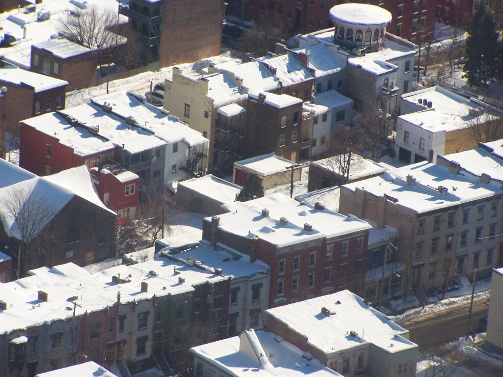
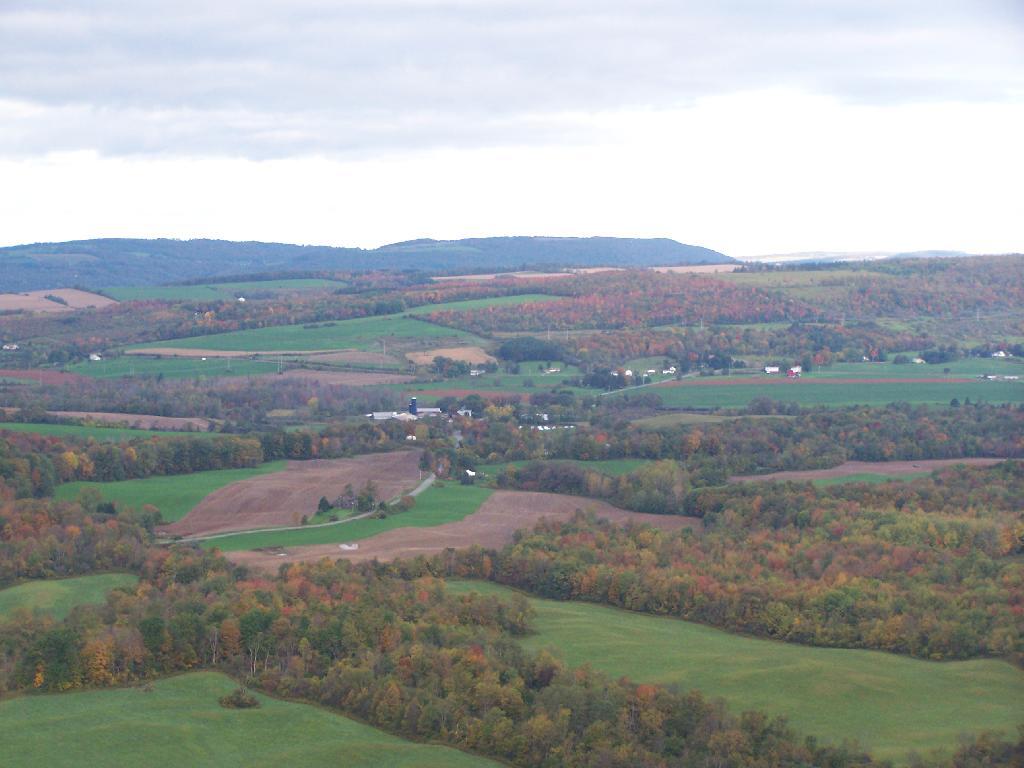
Would government be effective if urban areas and those areas in the urban sphere of influence such as the suburbs where separate from truly rural areas, where residents rarely go to city? By definition, the urban-rural interface is the border between the lands within a practical commuting distance for the productive non-farming rural resident and the rural resident who rarely interacts with the city.
As I’ve written many times in the past, urban policies being applied to rural areas rarely make sense, as do rural policies applied to urban areas. The conflict between the rural and the urban is best mitigated by creating and having two separate and sovereign governments, while allowing them to come together for questions of national and international policy, for things like nation defense, transportation infrastructure, and large-source emitters’ pollution control.
Political districts currently are based on haphazards of history or attempts at gaming the political system and not geographic reality. Large regional governments in urbanized areas and their spheres of influence would be far more effective at addressing the large problems of day from transportation to materials recovery or disposal. Moreover, the linkages between two urban regions of similar size (such as Syracuse Urbanized-area and Albany Urbanized-area), are far closer in many ways then a single county (Albany County’s Urban Sphere of Influence versus those areas in extreme western-portion of Albany County outside of Urban Sphere of Influence).
Urban areas really like their new found power since the awful 1964 ruling in Reynolds vs Simms, that mandated both houses of a legislature be equally proportioned, and banned the upper house (ie. Senate) from being based on geography, giving rural areas limited voice in the process. Urban and more liberal constituencies are unlikely to give up their dominance in the process, or allow more rural areas to have sovereignty, because it’s fun to boss around people you disagree with.
While maybe politically impractical, giving urban and rural areas complete sovereignty in their own matters would solve a lot of problems, and create policies more appropriate for their constituencies.
This Google Maps is based on the block level 2010 Census Population Counts. Census Blocks with no residents appear 100% clear.
Regardless, zoom in, to see how many people live in a particular block, and the density of residency of poeple in various communities. Compared to the city, the suburbs, and rural areas all seem depopulated.
The population density of New York State. Notice this is a totally different scale, and is by per square miles, per Census Tract rather then block. Makes all of upstate look rural compared to New York City. Zero population blocks are not clear on this map.
One of the concepts I have grown interested in lately is the use of density to draw districts for governing bodies. Rather then draw districts based on historical lines, partisan politics, or ethnicity, why not draw them based on a formula that considers density?
How it would work…
Take the entire population of a region, state, or country, and divide it by the number of districts one views as appropiate.
Neighborhooring census blocks with the closest average density would be grouped together until they had equal population.
Why this is a good idea…
Areas with similiar densities have the most similiar needs.
Connect farming areas with other farming areas, connect dense urban areas with other dense urban areas, suburbs with suburbs.
Representives are non-conflicted by different consituencies, they can be pure in what they advocate for in their elected bodies.
Rural, suburban, and urban infrastructure needs are best met when communities are grouped together and non-conflicting in their nature.
Politicians probably would not like this system as it would make it hard to game the system. There would be far fewer marginal districts, far fewer competitive non-primary races. Yet, fewer consituencies would be underr-epresented due to their minority status in their districts, and there would be more cohesive blocks of land.