I live and work in an urbanized area. For most of week, I get on a bus or walk from place to place, go to work, go to the library, and otherwise interact with others in an urbanized fashion. People from Albany are pretty urban, by no means is Albany a farm town — although there are certainly many rural areas around Albany.
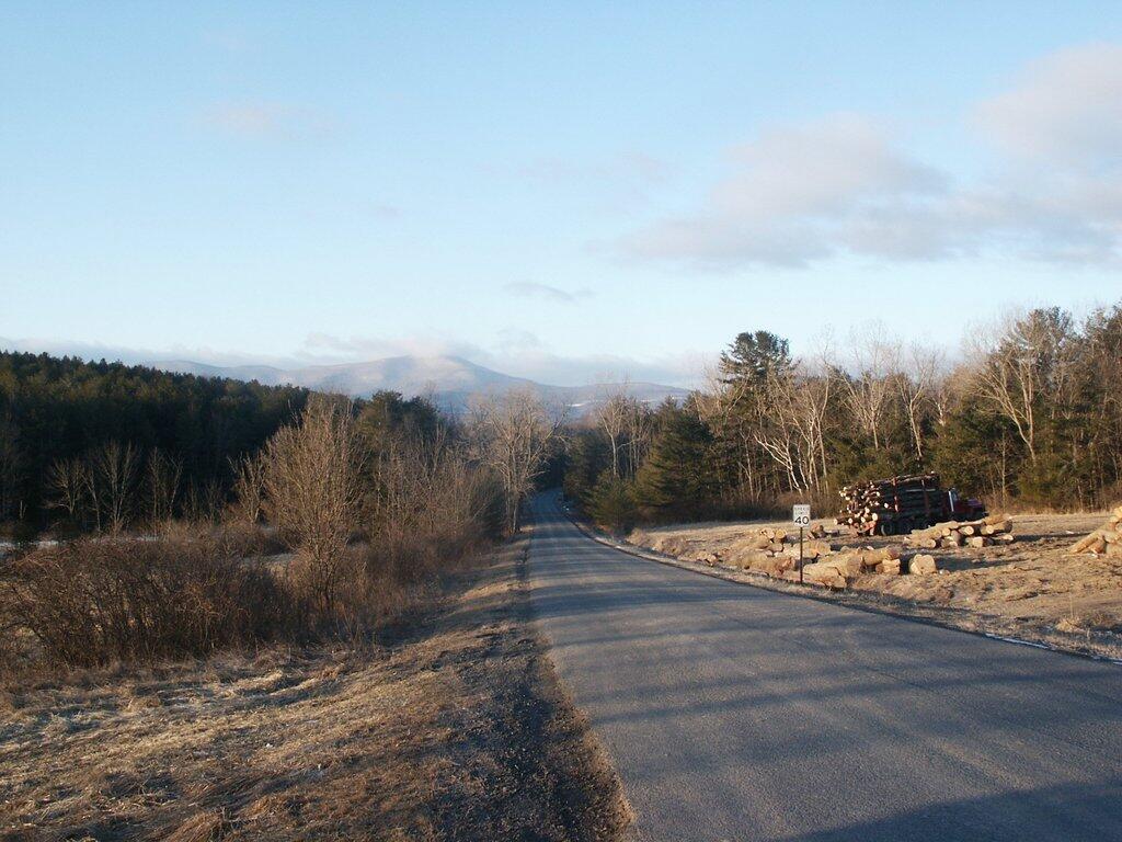
Yet, despite all the time I spend in Albany, the city really is just a little dot on the map compared to vast lands around it. Drive less then 20 miles in any direction, and chances are you’ll be in a mountain town, a farm town, or some kind of national or state forest.
Albany is a large enough of a metro-area to have a very urban feel to it. It’s cities have all of the regular urban problems, from drugs to gang violence. But your never very far from the rural hinderlands, and truly rural areas that are largely independent from the city’s regular activities.
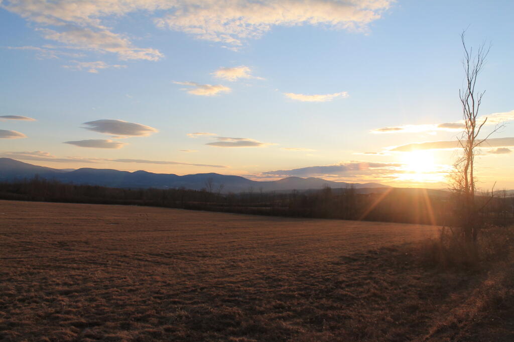
With the cold weather of the past two months, I’ve spent much too much time in city. But getting back up to Vermont I’ve come to realize all I’ve missed, outside the 2%.
This past October has been one of the rainest and cloudest months in recent memory. I can’t seem to remember such awful weather in a long, long time. Maybe it will break eventually, but for now this dreary weather pattern seems unending.
It just seems to rain and rain. The 7 day forecast just says more rain. No chance to get out and walk, as it’s always pouring. And when it’s not raining, it’s cloudy and damp out.
Normally, I like the October weather, but this year has been awful.
I try to be careful with saving money every week, and putting a little away for a goal. I contribute to my pension plan and a little bit my Roth IRA every week to save towards retirement. That’s fine, but I also like to save a lot more money into my boring old savings account for more immediate goals — within the next couple of years.
The problem is I really don’t have another goal. I am kind of saving for nothing, or actually one of many choices that I really don’t have a solid figure on what I want to do with the money. It also has grown tougher to save money these days, as the interest rates are so low that money doesn’t really grow much in the bank.
Idea 1: Save Money to Move Out of NY State.
I am not a big fan of New York State by any means. I think it’s policies are so dracionian, and it’s urban dominance means that Upstate will forever be governed by absentee landlords from New York City, who develop policies in wine bars high above the strip in trendy Manhattan.
I don’t like the Sullivan Act. I don’t like the burn ban. I don’t liek the Adirondack Park Agency, or just the state’s official dislike of all rural areas. I don’t like the fact the state increasingly nickling and diming working folks just to feed the beast.
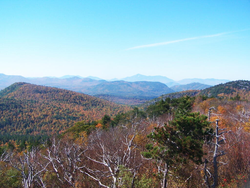
But, hey I like the Adirondacks, Catskills, Greens, Taconics, and other amazing places being so close to home. The recession makes it hard to find a job elsewheres, and the reality is any place I would go would certainly involve a massive cut in salary, benefits, and a relearning of how to live.
But some day I do want to move out of state, on to some rural land, have animals, do a little hobby farming, play in the mud, shoot some guns, and burn things. I really dislike state’s open burn ban. But for now, the Adirondack Park and Catskill Park works well enough for me.
Idea 2: Go Back to College.
I’ve been toying with the idea of going back to college. But it’s so dang expensive. And I really don’t want to sit in class all day, and learn stuff I am not really interested in or could better learn on my own. I struggled through 6 years of college, in and out of school and at work to get my bachelors degree, and I am less then excited about the whole thing.
I would like to go back to school to study GIS map making, and turn my hobby into actually marketable skills. Doing that would allow me to make more money, but more importantly have more flexiability in where I live, so I can live in rural area not run by citidiots.
Idea 3: Sled.
I have been thinking about getting a snowmobile at the end of winter season for next year. Not something brand new, but something decently reliable that I could use to access the deep back country in winter. It might also be fun for camping in the winter, as I could strap a backpack on with gear.
But it’s also an expensive hobby to say least. Plus, even if I got a snowmobile in the spring time, I would have to store it until the winter before I could really use it for much better. But I figure an end of season special would probably save some real money.
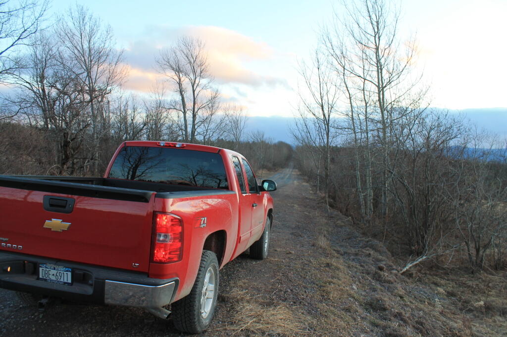
Idea 4: Fix Up My Truck.
I got to fix the bumper on my truck. It annoys the fuck out me, to put it the way I see it. The way it is bent — the particular angle — is so ugly. Yet, do I want to just fix the parts that are damaged or do I want to get a real bumper for my truck? I know they make heavy duty off-road bumpers.
Which got me thinking — if I replace the rear bumper, shouldn’t I also replace the front bumper with a real bumper, so it at least matches? Or should I wait until I do something stupid and damage it?
Likewise, I want to jack my truck up. It would be fun to ride up higher, would add at least “visual” value to the truck, and make me like it better. Although, maybe I would eventually get tired of jacked up truck. But should I wait until the first set of tires are worn out, before going for the jacked up routine? I don’t know.
Many Possibilities.
I continue to chew over my choices and possibilities. Moving out of NY State — to a nicer state with more sane policies — continues to be a priority of mine, but that has to be balanced by my good paying job that pays the bills, and the proximity to the great Adirondack and Catskill Parks.
Then there are all the toys I could spend my money on. But toys require gasoline, which sure is expensive these days. Certainly having more money in the bank account makes it grow faster. But I also got to have fun, and have an excuse for saving money. So I don’t know.
This Google Maps is based on the block level 2010 Census Population Counts. Census Blocks with no residents appear 100% clear.
Regardless, zoom in, to see how many people live in a particular block, and the density of residency of poeple in various communities. Compared to the city, the suburbs, and rural areas all seem depopulated.
The population density of New York State. Notice this is a totally different scale, and is by per square miles, per Census Tract rather then block. Makes all of upstate look rural compared to New York City. Zero population blocks are not clear on this map.