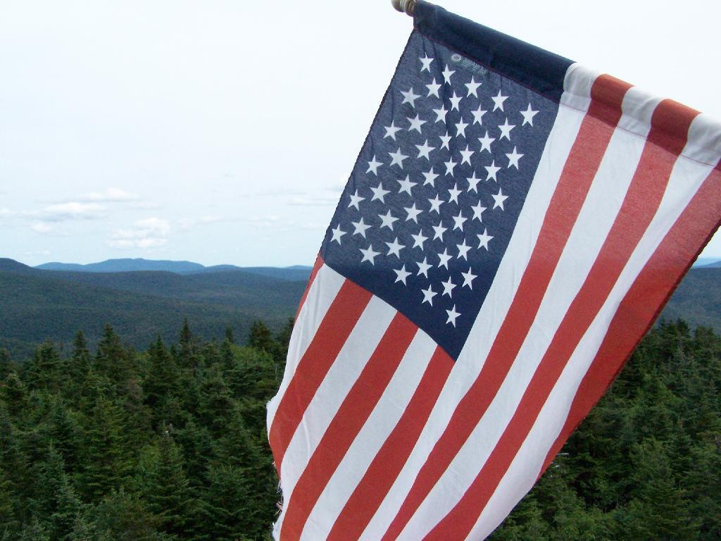
This past year I have spent a great deal of time hiking up mountains and visiting fire towers. Here are pictures of the second five fire towers I visited this year, along with a short description and maps in the second part of this series.
June 29, 2009 & June 30, 2009:
Sugar Hill Fire Tower
The Sixth Tower I visited, was Sugar Hill State Forest / Horse Camp is located outside of Watkins Glen. It’s an equestrian facility with 50 miles of trail, along with a small hiking/no horses area. They have free camping, and 3 equestrian lean-tos and one hiker lean-to on the Finger Lakes Trail. A definitely cool place to visit if your in the Finger Lakes.
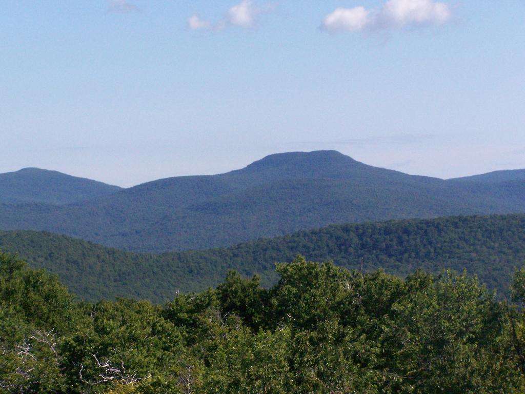
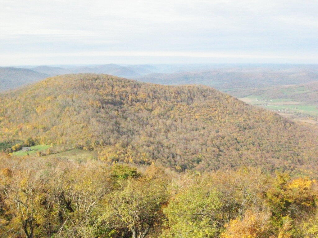
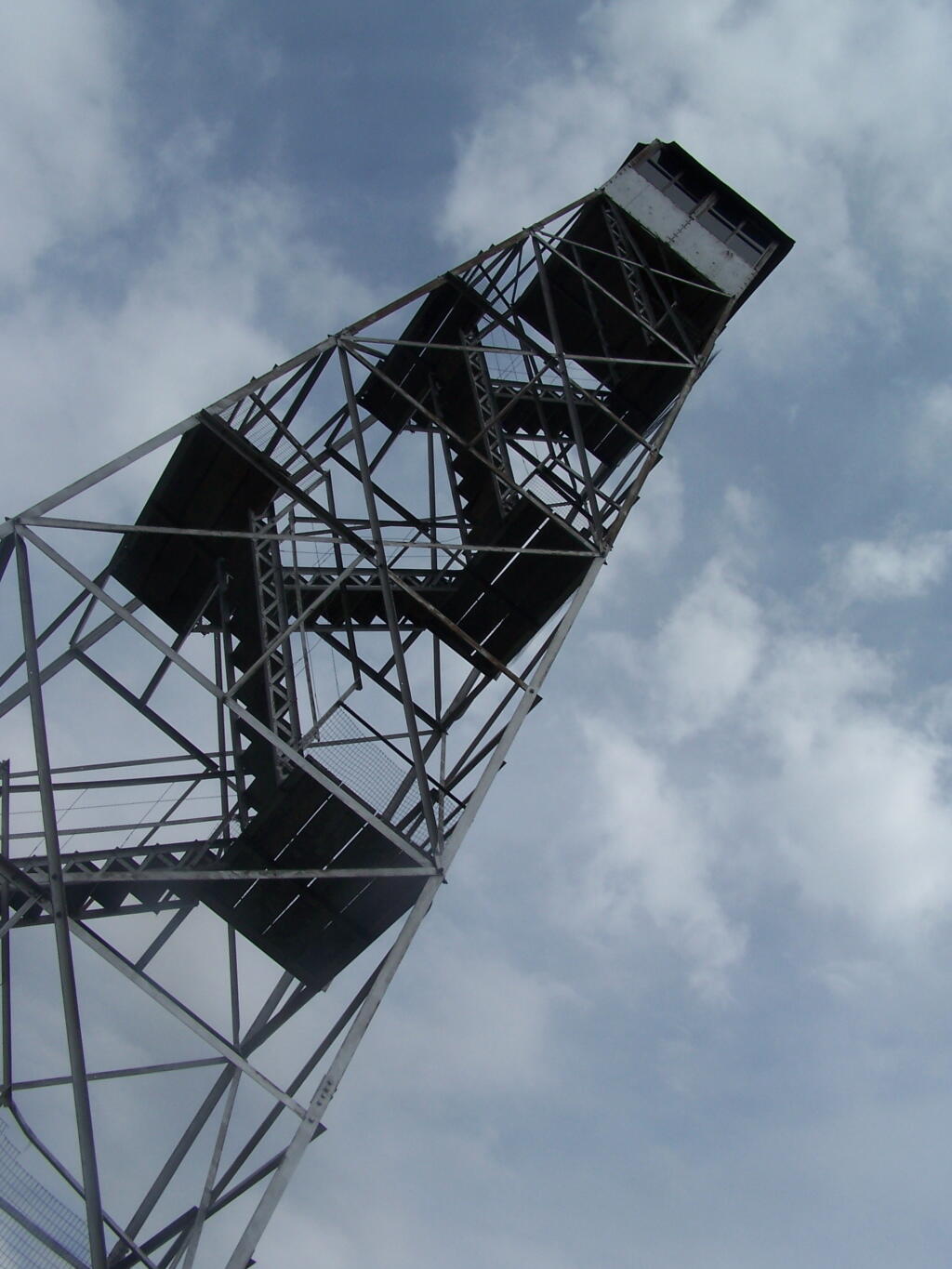
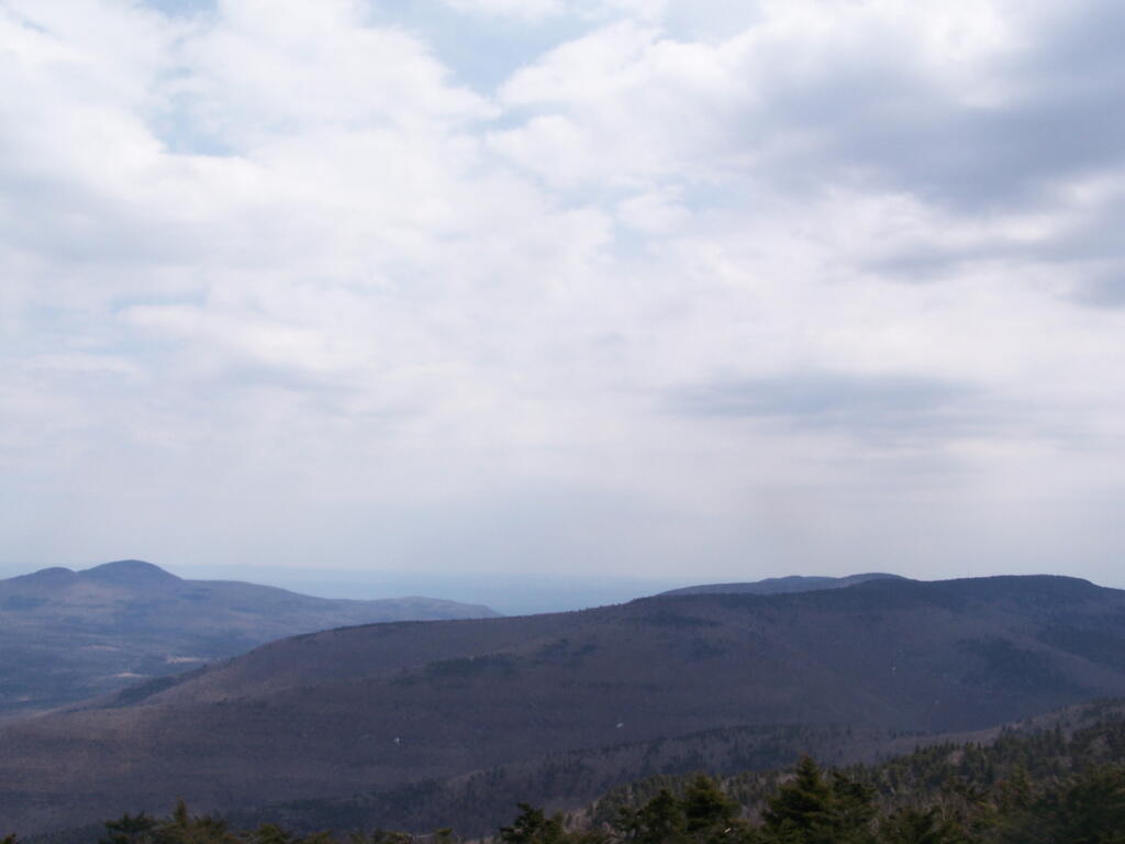
The seventh tower I visited, Red Hill Fire Tower is located south west of the Catskills, barely in the park, with views of the south-western Catskills, the High Peaks, and down towards the Delaware River in Pennsylvania.
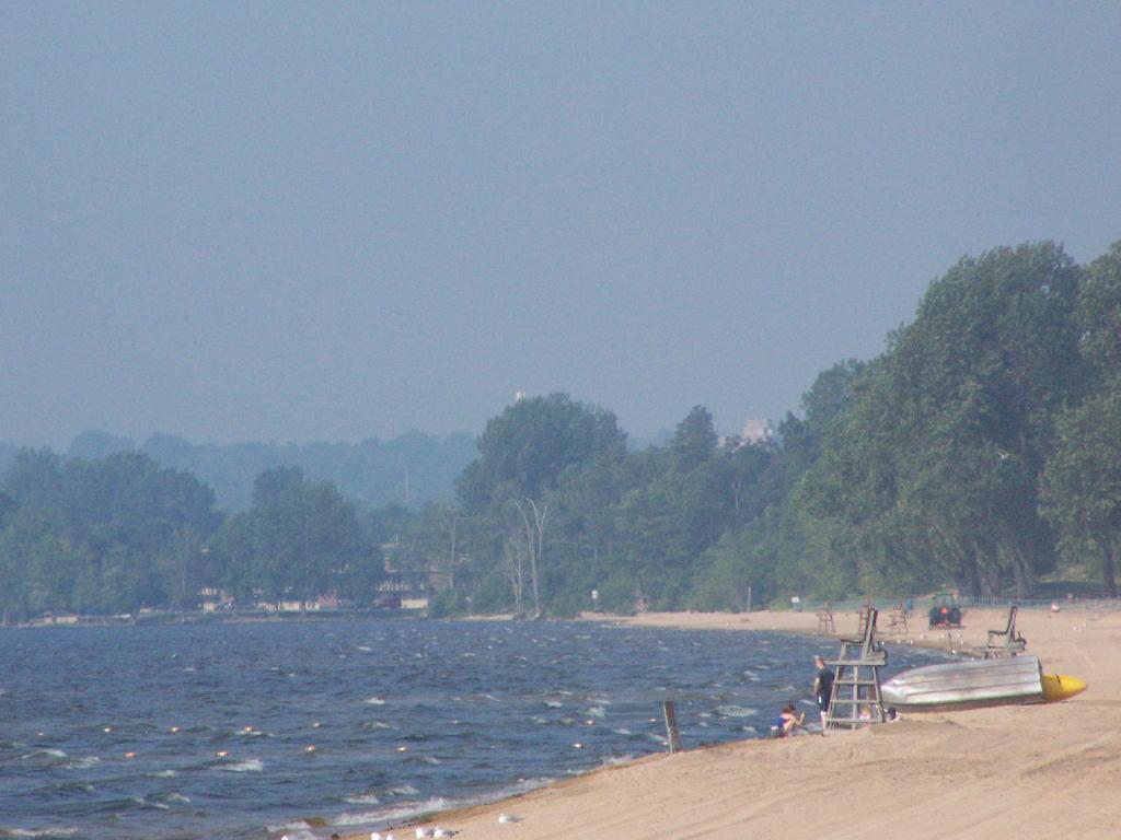
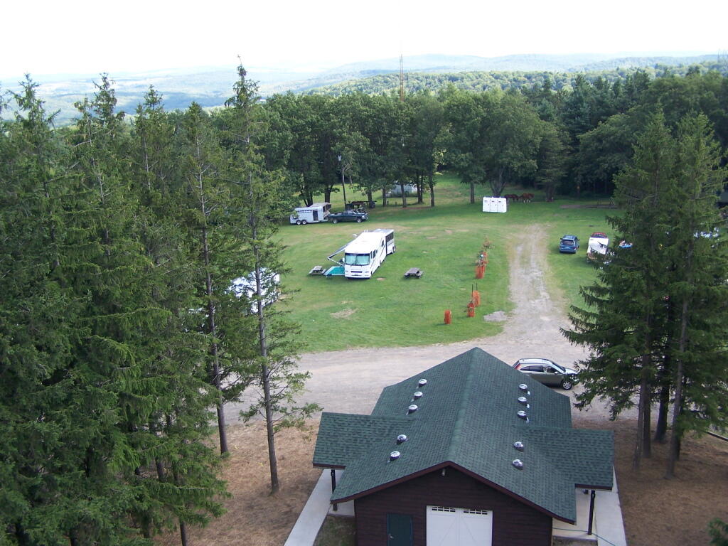
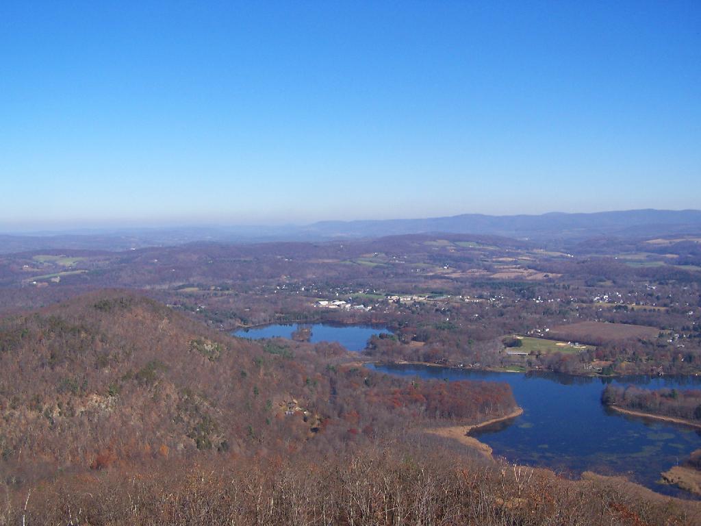
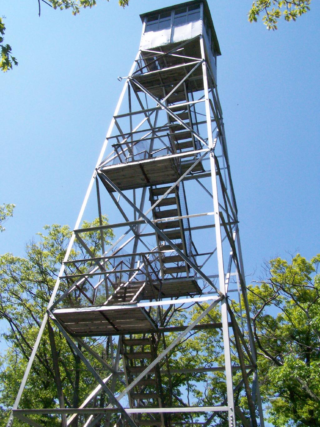
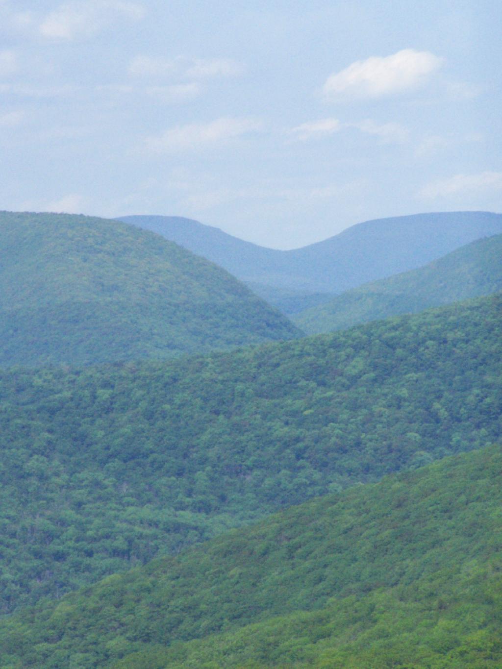
The Eightieth Tower I visited, was Balsam Lake Fire Tower is located in about 10 miles south east of Margretville in a very rural portion of the Catskill Mountains. It is the only tower in the Catskills actively staffed by DEC Fire Rangers on weekend (mostly acting as guides).
August 7, 2009 & October 10, 2009:
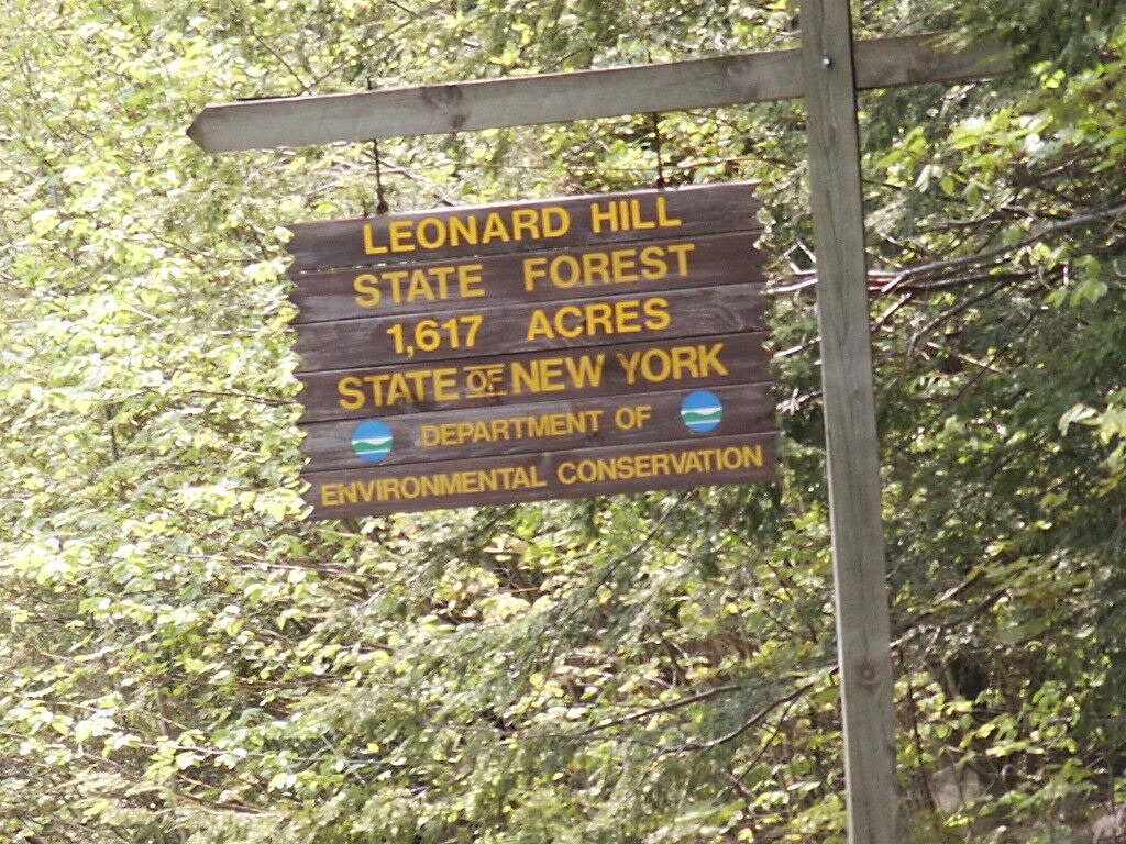
Leonard Hill Fire Tower
The Nineth Tower, Leonard Hill Fire Tower is currently inaccessible, pending renovation. They have removed the bottom to flight of stairs to discourage people from climbing the tower. That said, the DEC Forest Ranger has cleared out a camp site/viewing area directly to the west of the Tower for those who want to enjoy the amazing view due west of the Western Catskills and Upper Schoharie Valley.
October 11, 2009 & October 12, 2009:
Mount Utsayantha Fire Tower
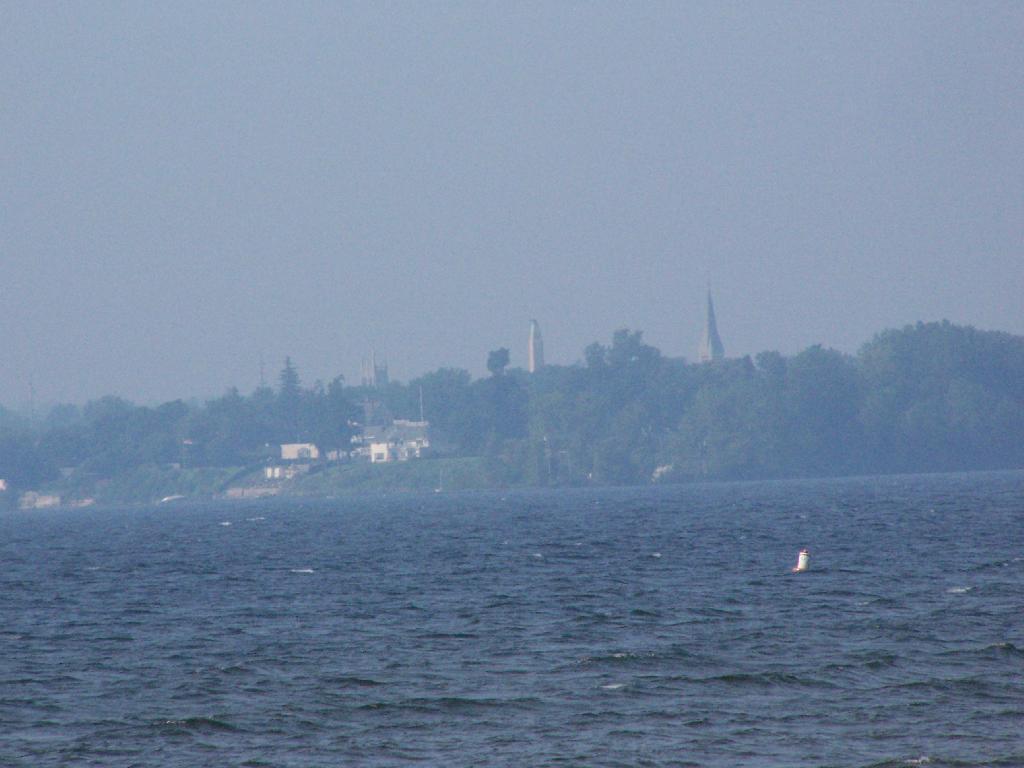
Mout Utsayantha was the Tenth Tower I visited. This fire tower is on a public village park, above Stamford, NY. You can drive right up to it — I visted it twice one weekend. It gives you amazing views of the western Catskills, the area around Summit and Emmenece State Forest, the Upper Schoharie Valley, and on clear days out towards Oneonta.
The Eleventh Tower: Rising 1,000 feet above the low lands of Pine Plains, this firetower gives you beautiful views of small towns, lakes, farmlands, mountains, and a five state region of the Hudson Valley on clear day.
This past year I have spent a great deal of time hiking up mountains and visiting fire towers. Here are pictures of the first five fire towers I visited this year, along with a short description and maps.
The first fire tower I climbed this year was Overlook Mountain Fire Tower outside of Woodstock. This tower is nearby the remains of the Overlook Mountain House and has some rather awesome views.
The second fire tower I climbed this year was Hunter Mountain Fire Tower outside of Hunter. This is the second highest mountain in the Catskills at 4040 feet. The views are less exciting compared to other mountains I’ve been up. I took the much steeper Beecker Hollow Trail, but one can take the longer horse trail in from the west side, if you don’t mind stepping in horse manure.
The third fire tower I climbed was Hadley Mountain Fire Tower in the Adirondacks near Hadley and NY 9N. This has some amazing views of the Great Sacanadaga Lake along with the Southern Adirondacks.
April 19, 2009 & August 2, 2009:
Beebe Hill Fire Tower
The fourth firetower I climbed this was Beebe Hill in the Taconics near Exit B3 of the NYS Thruway Berkshire Spur. It has great views of Northern Columbia County’s rolling country. There also is the Chance of Thunder Lean-to nearby the fire tower, so you can climb it up at night like I did one beautiful Saturday in August.
The fifth fire tower I climbed this was Mount Tremper in the Catskills. Despite having almost no views until you climb the tower, it does have some interesting views of the interior Catskill Mountains. It was a somewhat hot and hazy day when I climbed the mountain.
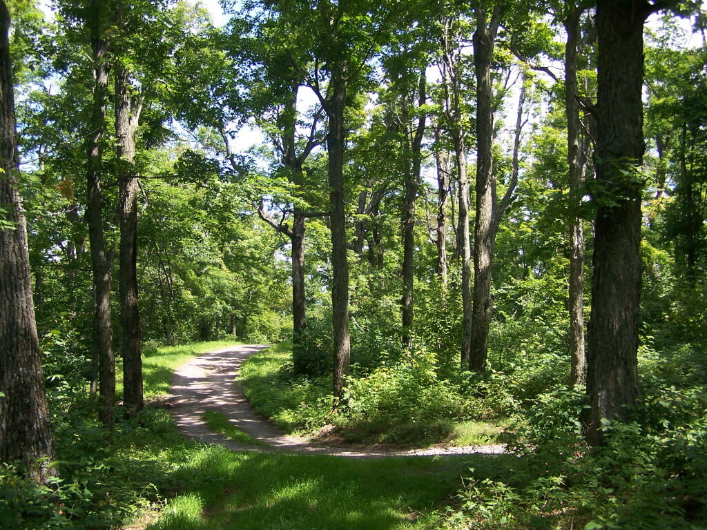
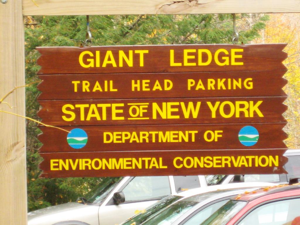
Giant Ledge is a relatively flat hill located on the ridge between Slide Mountain and Panther Mountain. It can be accessed from the Giant Ledge Parking Area, off of hairpin turn on Slide Mountain Road.
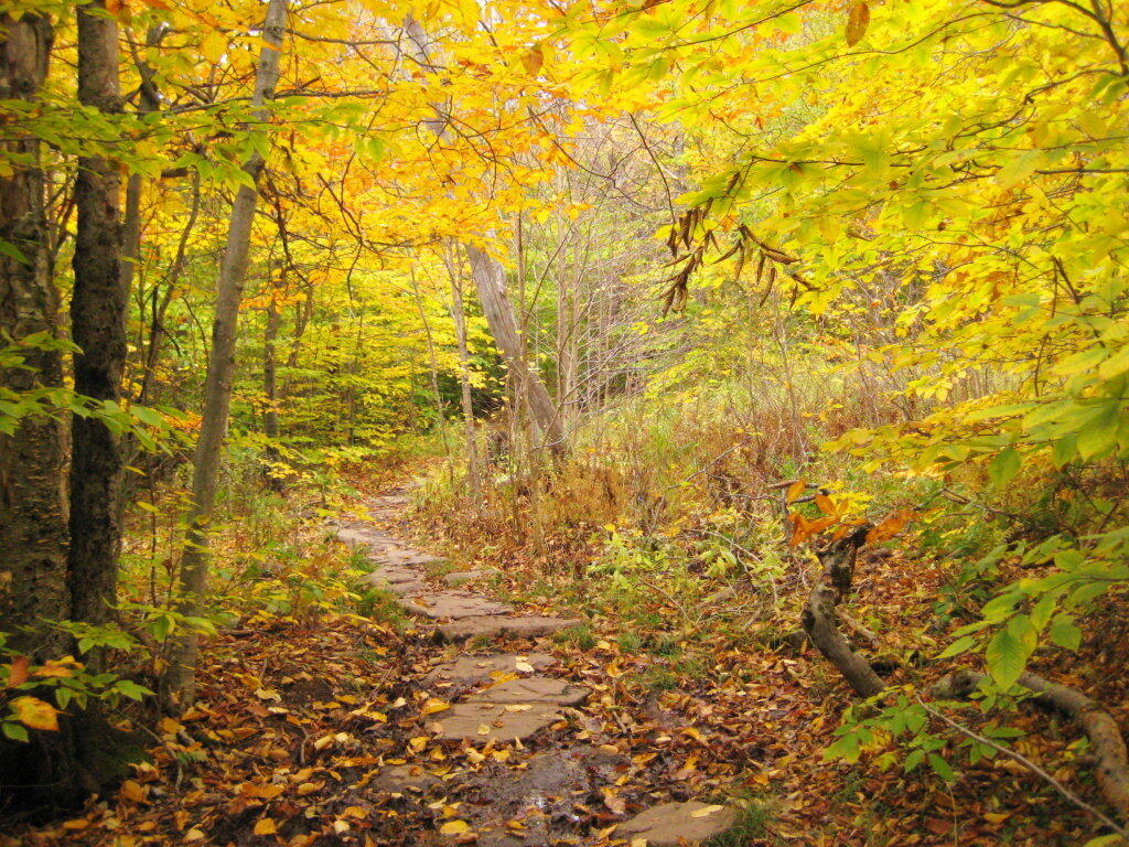
I went hiking on Columbus Day, a little past peak foliage system after spending two nights camping out in Schoharie County. It is a short hike.
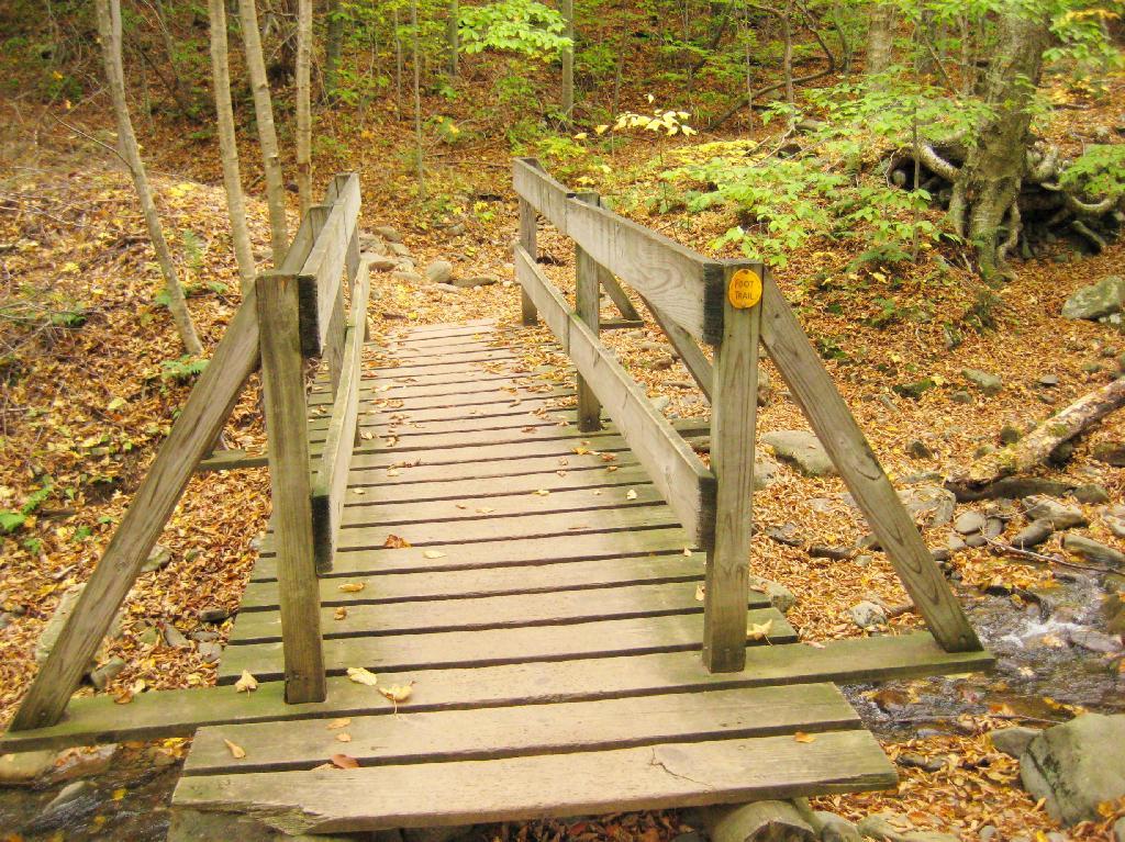
Here is cute little bridge that goes over an unamed creek, running down the northern face of Slide Mountain.
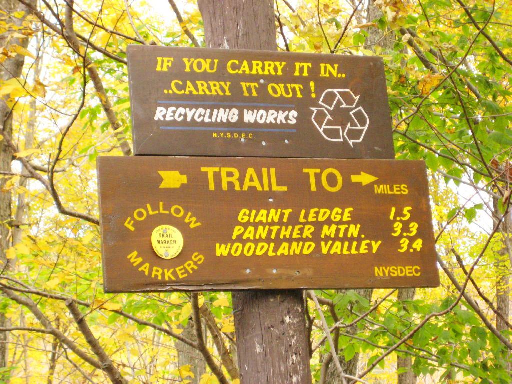
After a moderately steep 3/4 mile hike, you reach the “pass” that goes between Slide Mountain and Panther Mountain. This portion is relatively flat, until you reach the last 150 feet of elevation gain, to reach the top of Giant Ledge.
Here is Slide Mountain, peaking through the trees as your going up to the last bit to Giant Ledge.
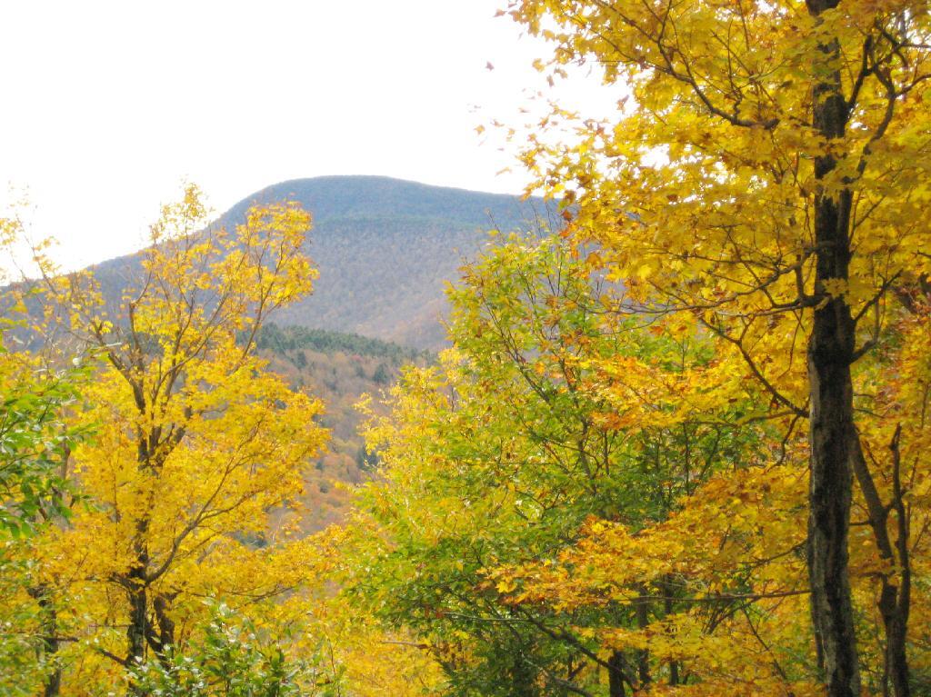
Looking off Giant Ledge, towards Woodlawn Valley (in the colorful foreground), with Plateau Mountain, Twin Mountain, Indian Head Mountain, and in the middle, Tremper Mountain.
Here is the Wittenberg and Cornell Mountains.
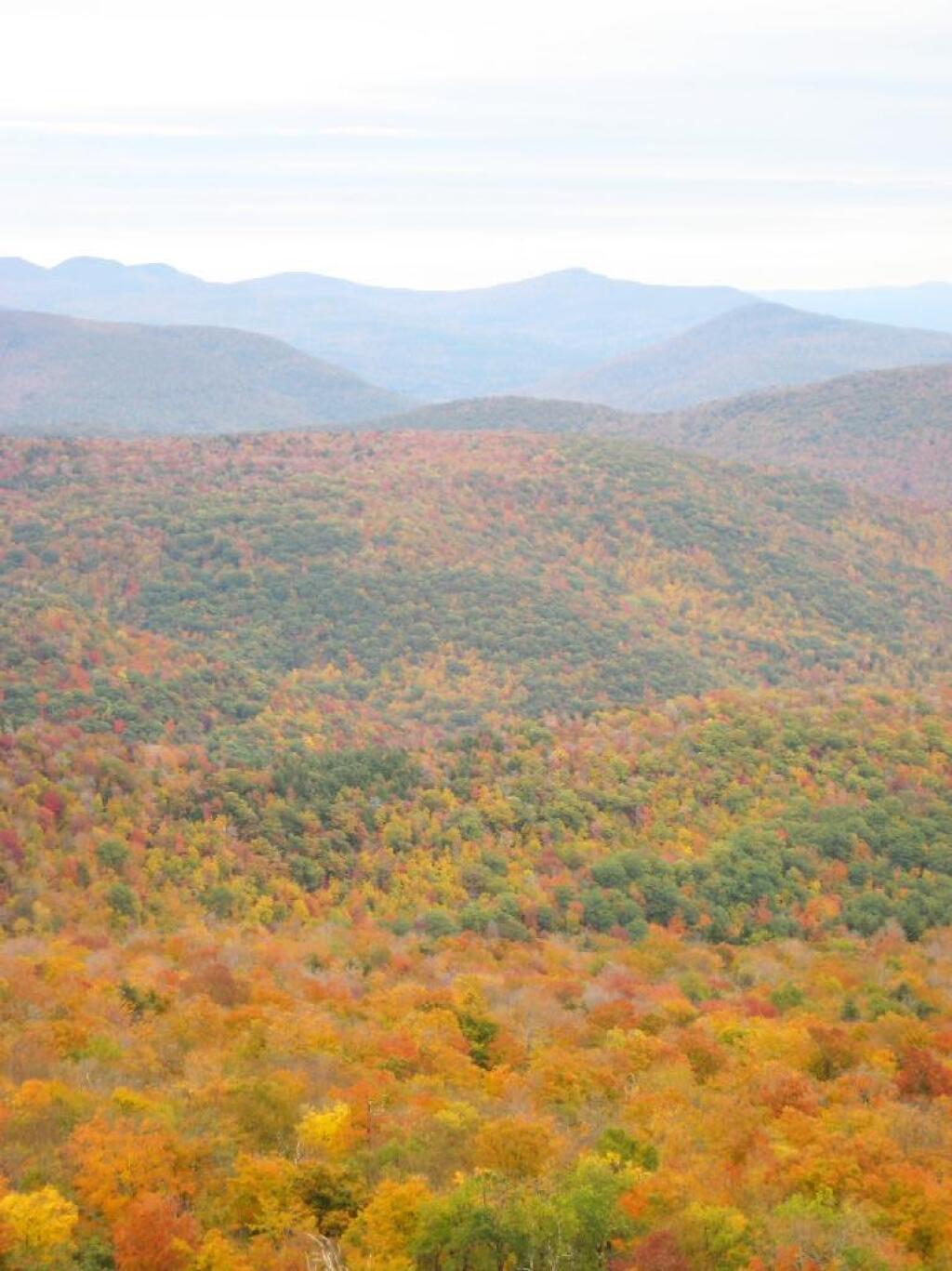
This is the Woodlawn Valley’s beautiful colors.
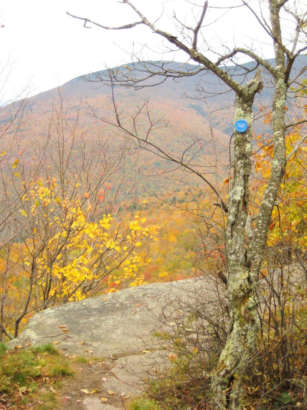
Part of the trail runs right along the edge.
Off the main blue trail on Giant Ledge, there are two campsites at are primative, but nice. This also leads to a trail with views of the Big Indian Valley
Here is the second of two designated campsites on Giant Ledge. There are no campsites on Panther Mountain, which is too high to allow camping. There also is camping on the lower portion Slide Mountain, minus the wonderful views.
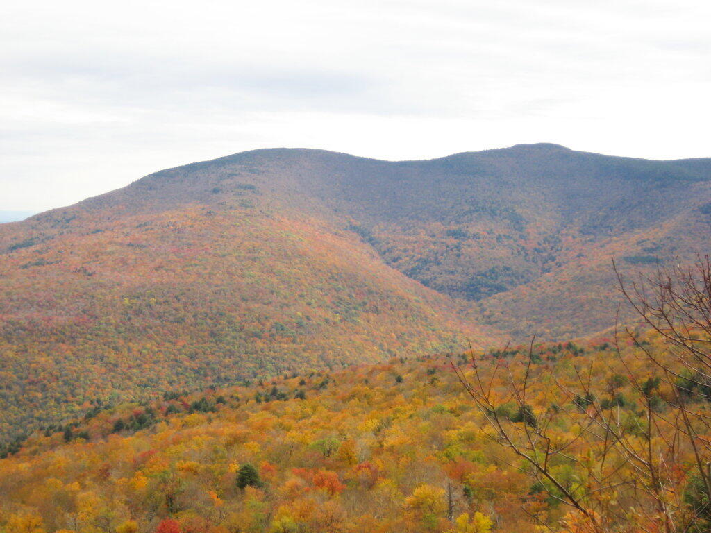
After you hike across the trail to the campsites, there is another short little trail that runs over to a viewpoint with views of Big Indian Mountain, and the Big Indian Valley (where Slide Mountain Road runs).
From here, I hiked up Panther Mountain. Here is a map of the hike.
Please use care when disposing of your human waste. Use an outhouse when possible, always do your business 150 feet or more away from water. Don’t bury toilet paper, bag it and burn in the next campfire instead. Keep our forests clean!
— Andy
One of the things that strikes me as a problem in the great outdoors is how people don’t know to take care of their personal waste, particularly their shitty toilet paper and dirty tissues.
There are people who wouldn’t think of littering a candy bar wrappers, tossing a glass beer bottle over the side of a mountain, or dumping the remains of roofing project in the woods, are quite happy tossing tissues along the side of the trail, or leaving used toilet paper blowing in the wind.
The worst is when you find it nearby water or maybe nearby some place where you might want to camp. I don’t want my water messed up with giardia or beaver fever. It’s just disgusting, because it’s clear evidence of water contamination.
Shitty toilet paper….
just plain disgusts me to no end.
Yet, there is an alternative. Do not shit near water, trails, or campsites. This will keep your butt from showing and protect our water supply. And just make sure to pack out and / or burn any toilet paper you use. Bring a plastic bag, toss your paper after using in there, and seal it up.
If you have a hot campfire, toss the bag of shitty toilet paper in there and let it burn. As long as the fire is hot, it won’t smell and will be gone instantly. The thing is you don’t want to leave toilet paper around, for the next person to find, when some animal has dug it up and dragged it out along the trail.
Alternatively, use leaves. They aren’t as great as toilet paper for wiping things up, but if you don’t want to take your toilet paper home with you or burn it, do the right thing, and just use leaves and bury them far from the trail.
Do us all a favor. Don’t leave used toilet paper or tissues as a present for all to run into in the woods.
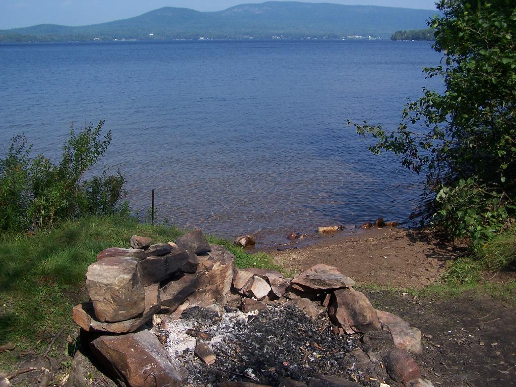
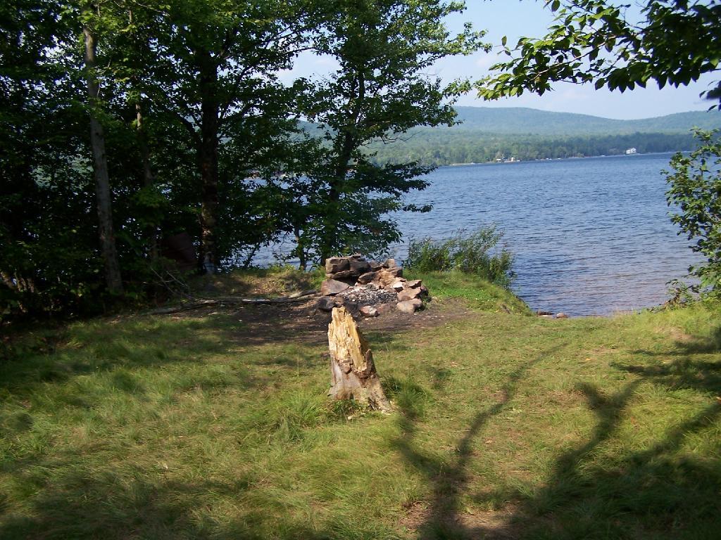
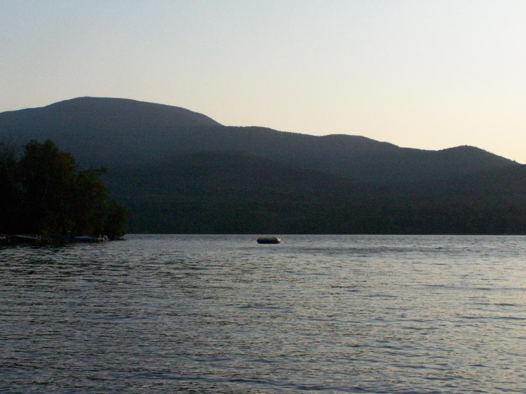
On Lake Chazy, the state owns about 800 feet of lake front as State Forest. There is three campsites here, one of them on the lake, and two along a private road / driveway.
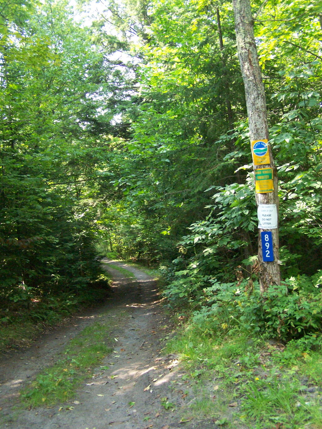
This parcel exists on the far end of Wilfred King Road, which runs for about 5 miles before you reach the end where the parking area and the private drive you take down to the parcel.
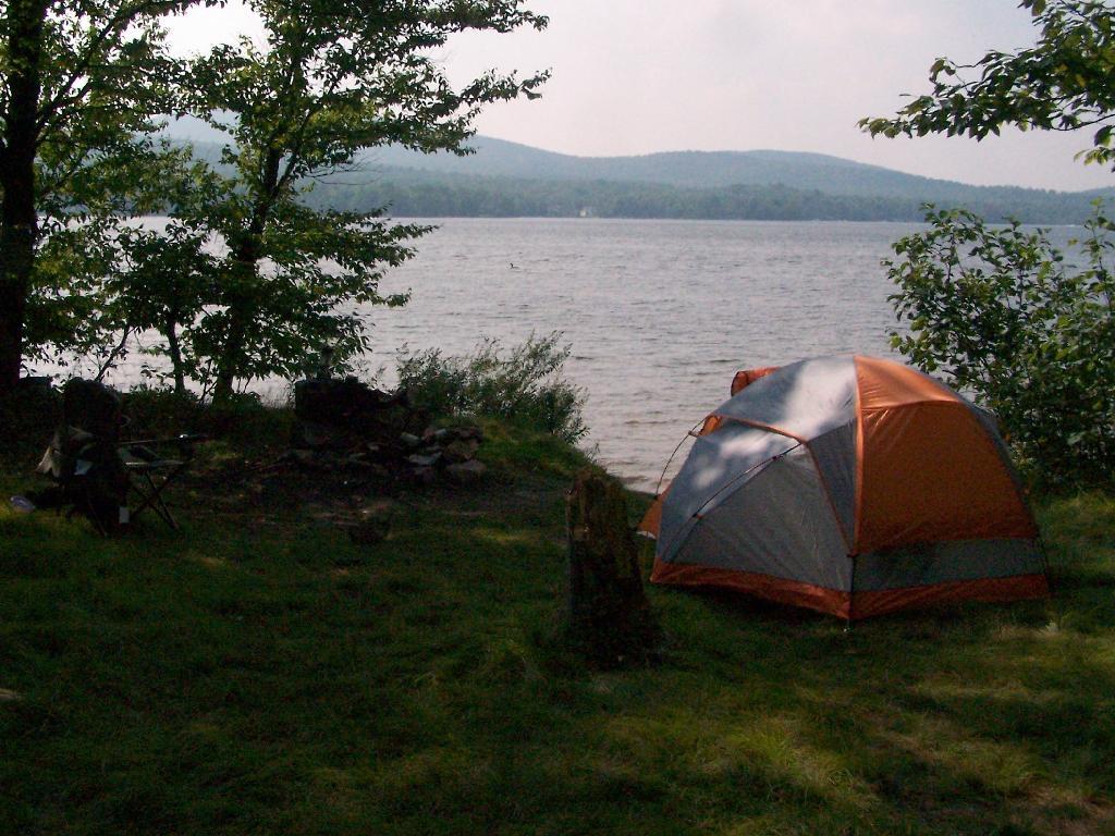
The site on the water has great views, a little fireplace, and lots of space for setting up two or three tents. It’s just as much a paradise as the photo suggests.
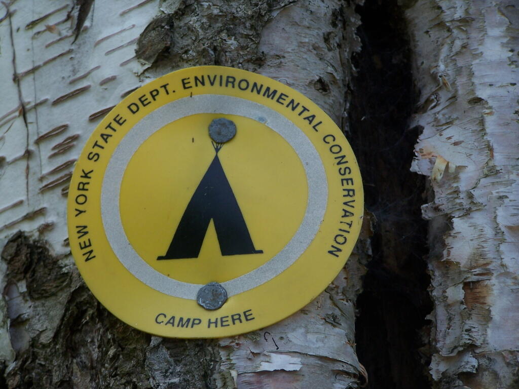
“Camp Here” marker shows that this is a designated site. When your in the Catskills or Adirondacks they tend to be fairly strict about the 150 feet rule from water and roads, unless you are a designated site.
Down by the lake in the afternoon. Imagine a book in my hands, and you can see how relaxed I am.
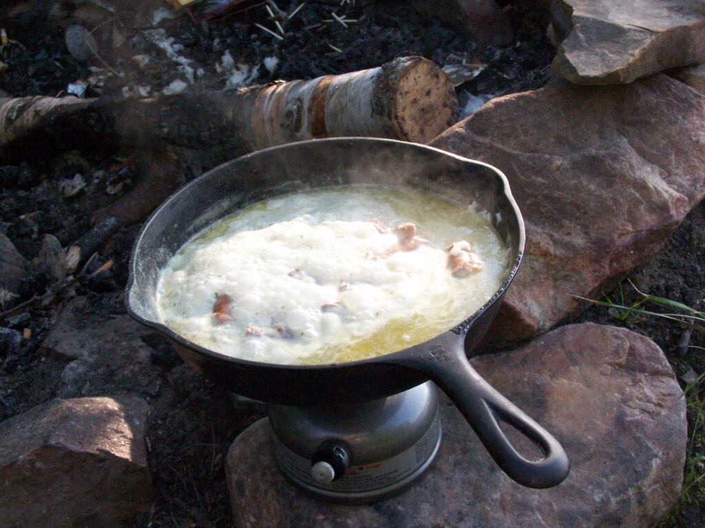
Cookng some dinner on my camp stove. Tonight I’m having sausage in Rice-a-Roni. The image makes it look like some kind of sinster stew that I’m making up, make out of small children I boiled up and mixed with grits. It’s not that for sure, and was far more delicious.
If you go out in the lake a little ways for a wade, you get a good view of Lyon Mountain. The water is shallow, and if it’s as hot as it was when I was there, truly delightful. While you will have to drive approximately 10 miles around the lake to get to the parking area to climb Lyon Mountain, but it’s beautiful with the fire tower up top.
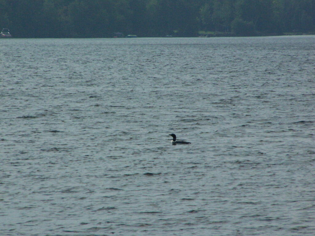
Sitting down at the lake you could hear the errie call of the loon.
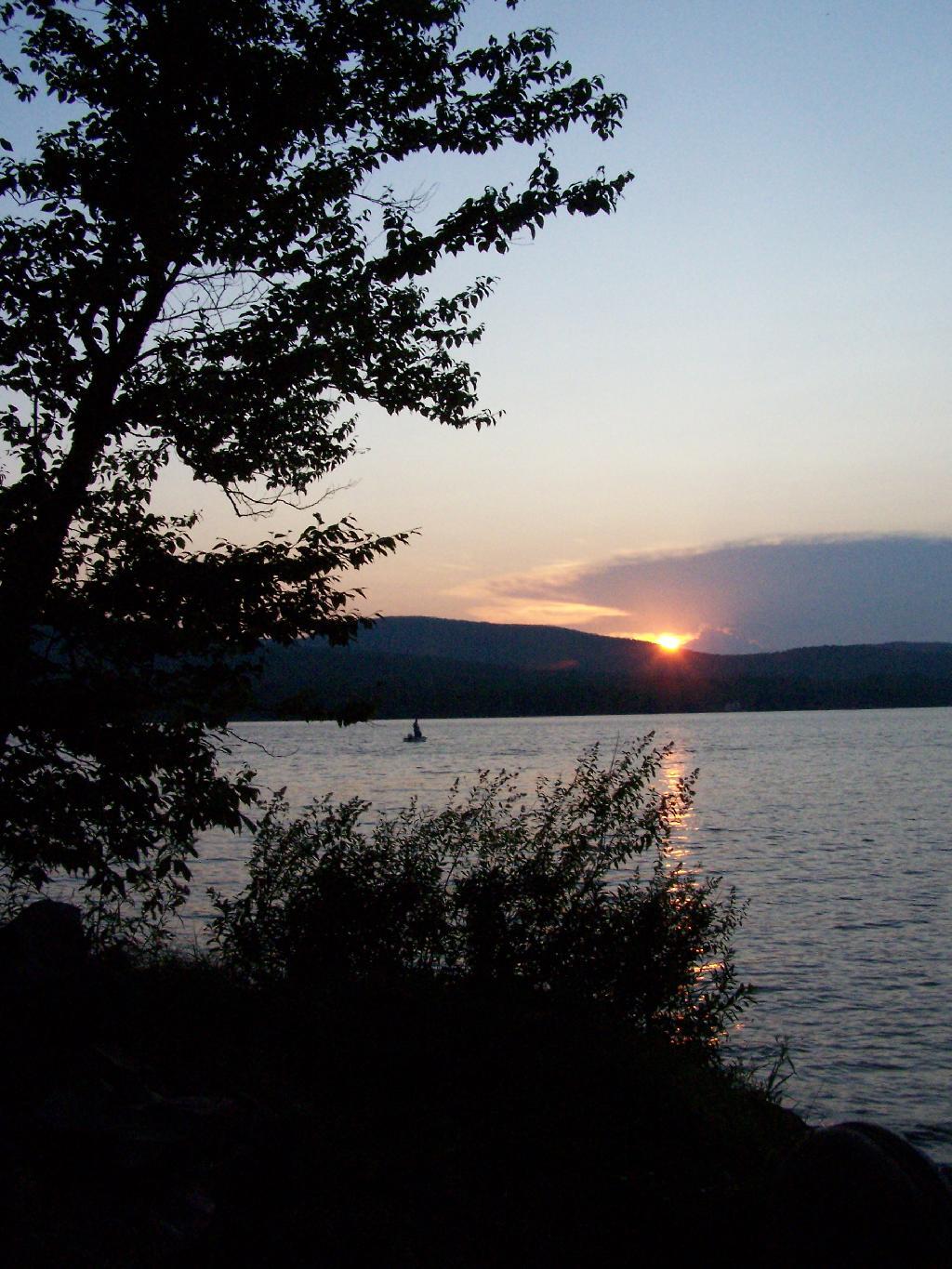
The site has good south-west views over the Lyon Mountain where the sunsets in the evening. The sunsets from here are amazing, as you watch the fire burn. The wood supply is limited, so you may consider packing in your own wood supply.
The important thing is that if you go there, make sure to drive all the way to the end of the road, past where the blacktop ends and after where the state forest starts. You will know when your there, and if you don’t see signs for the state parcel or the campsites, you haven’t driven far enough.
Also, while it’s posted against driving motor vehicles past the parking lot, as it is a private driveway, you can drive almost up to the lake front campsite if you don’t want to walk with the stuff in. That said, it’s only about a 1/4 mile hike from the parking area, so it’s fine to make multiple trips throughout the night and day like I did.
Here is the site on Google Maps. The hikers are where you park, the trail follows the driveway for a while, and then turns for about 150 feet to the campsite right on the water.
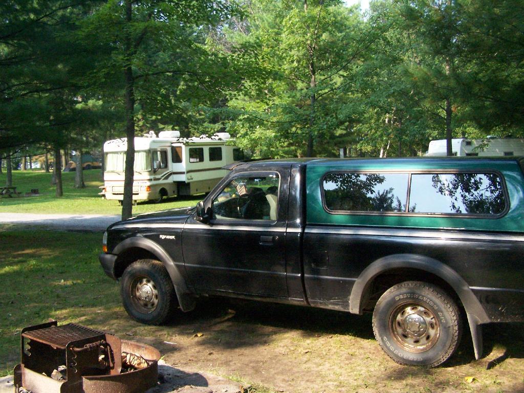
The first night of my vacation it was very hot and sticky out. By the time I had reached Plattsburgh I decided I would just find a campsite at Cumberland Head State Park. I probably could have gone to a nicer state park, such as Malcom Reservation or AuSable Point, but I wanted to be close to Plattsburgh and spend a lot of time visiting old haunts in the town and up at Point Au Roche.
Once I got there I dug out my swimming truck, and ran for the swimming beach, as I was hot! Driving up from Albany in all the heat and humidity, I got a terrible sunburn through the windows of my truck. I also don’t have air conditioning, and the humidity was pretty extreme on this Sunday morning.
The water was nice. The campsites on Cumberland Head State Park are pretty close together, and are like camping in a giant field with a bunch of other people. I’m not a fan of state campgrounds at any rate, but it beat trying to hike up Pok-O-Moonshine and look out to nothing from the fire tower.
If you want cheap digs near the City of Plattsburgh, then you can’t beat Cumberland Head State Park. It’s only $15 a night, plus a $2.50 service charge for the first night, and is within a mile from downtown. The beach is nice, and when it’s not so damn hazy, the view of the mountains is amazing. That said, I’m not a fan of state parks, especially the “extreme enforcement” of quiet hours, but those showers are nice in such hot weather.
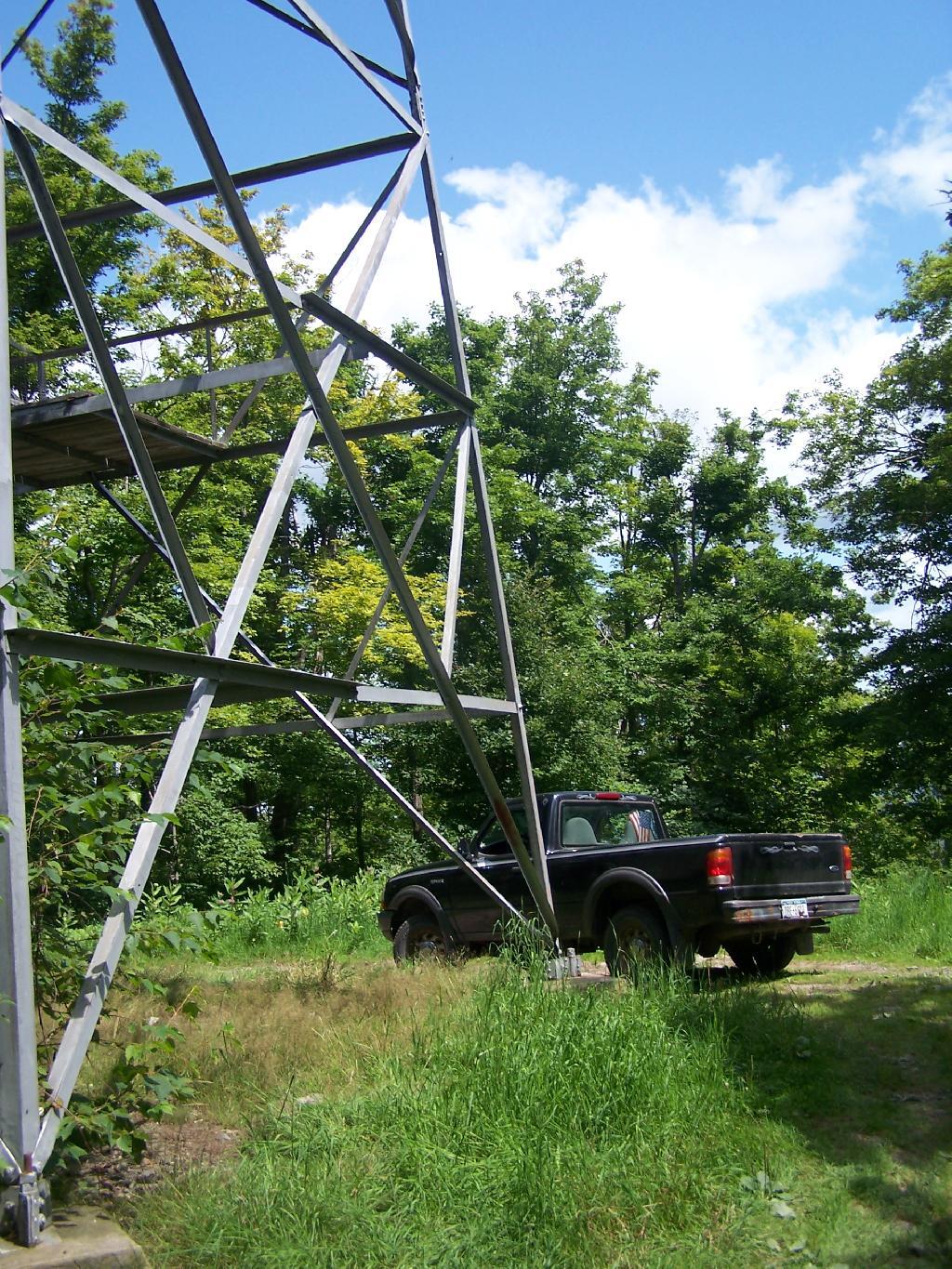
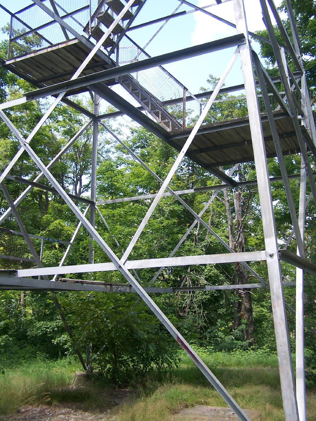
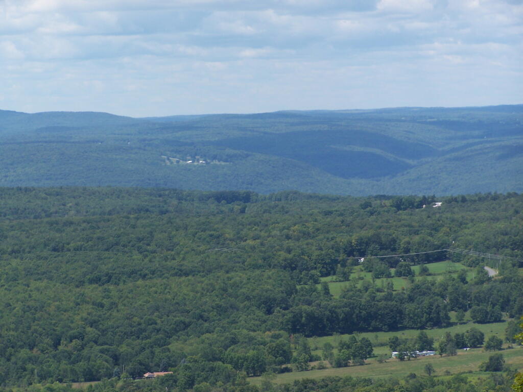
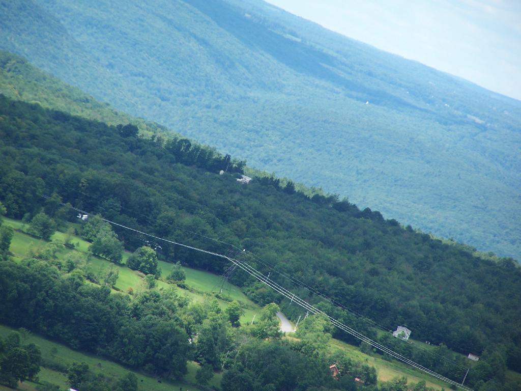
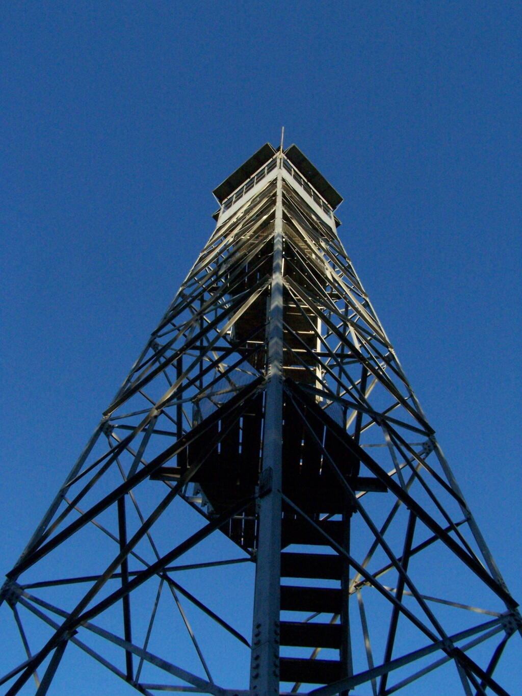
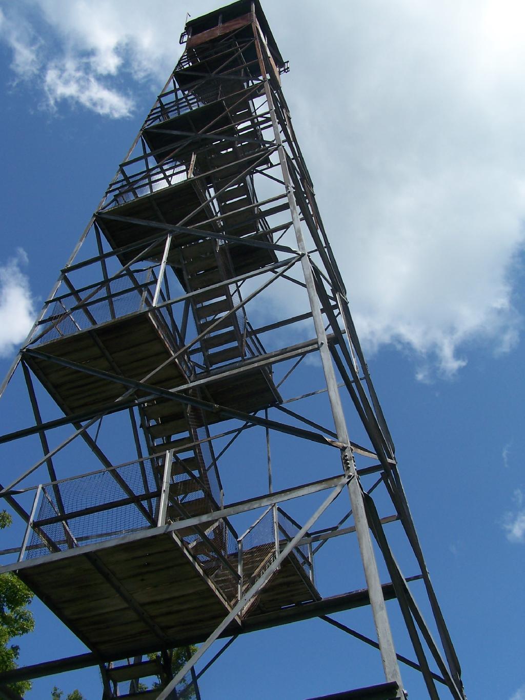
There is a currently closed, but slated for reconstruction, fire tower a top Leonard Hill in Schoharie County. You can drive up there with a car or truck as the road is well maintained.
You get there by driving out Broome Center/Potter Hollow Mountain Road, then taking a left up Leonard Mountain Road, which is located right in the middle of Broome Center. You take Leonard Mountain Road about a mile until you see an truck trail marked solely by a “Leonard Hill State Forest”, and take a right on it.
After about a mile on this truck trail, you are on a ridge between Hubbard Hill and Leonard Hill, and can see Leonard Hill Fire Tower ahead. Continue on that truck trail by another mile, and you’ll arrive up to the tower, and you can drive right up to it’s base.
The tower looks a bit rusted in a places, but structurally good. It is awaiting a reconstruction project that the last time I had heard was delayed by concerns over the high cost of gasoline last summer.
To discourage people from climbing a potentially unsafe tower, they have removed the first two flights of stairs.
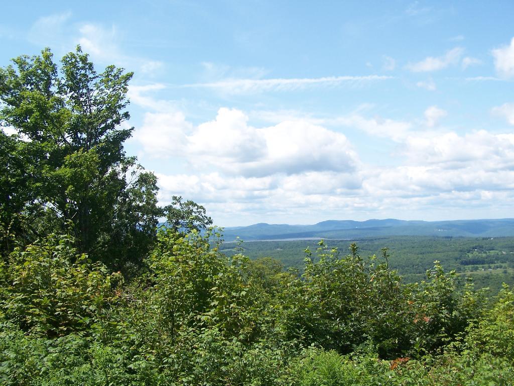
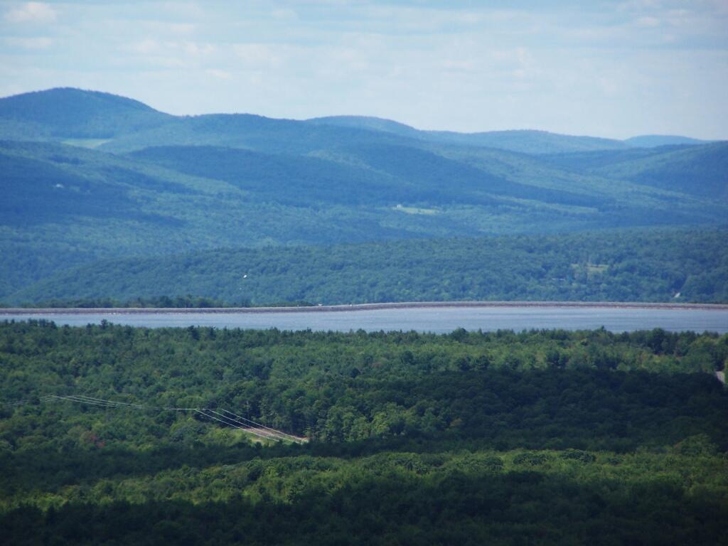
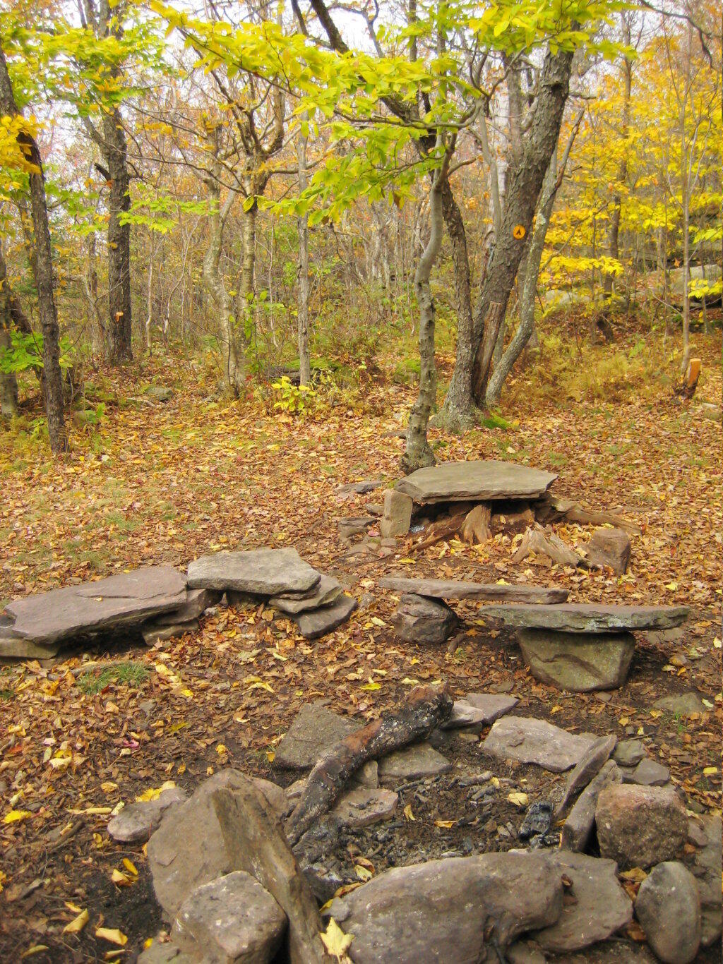
Just across from the tower is a beautiful campsite, with some fantastic views of the Catskills and the Schoharie Valley. I spent the following night down there, camping out. It was cloudy that night, however if the weather was beautiful, there could be a great sunset to watch from here.
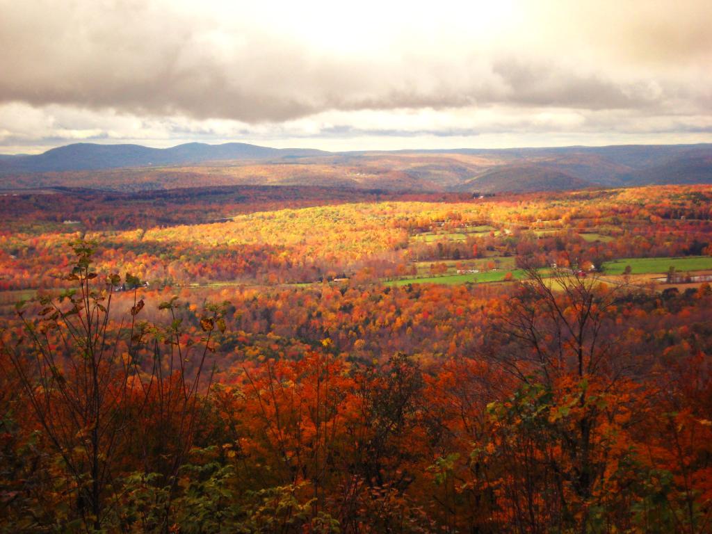
Here is the Schoharie Valley.
Blenhium Mountain and the NYPA Blenhium Power Reservior can be seen well from the campsite. The reservior is partially lit up at night from generating equipment and safety lights by NYPA.
Here is the valley below, and the mountains beyond it, the Emminence State Forest.


![Across the Potamac River to West VIrigina [Expires November 12 2023]](https://andyarthur.org//data/photo_003065_large.jpg)