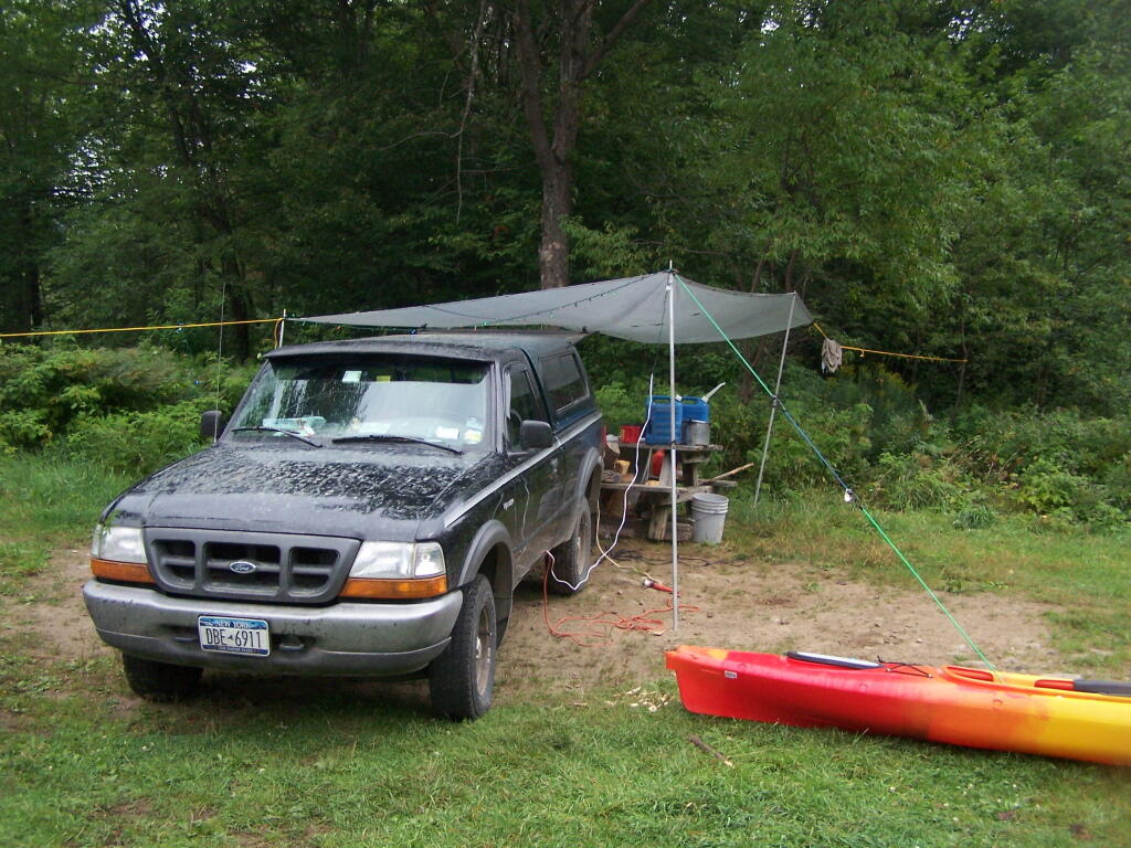
January – June 2011.
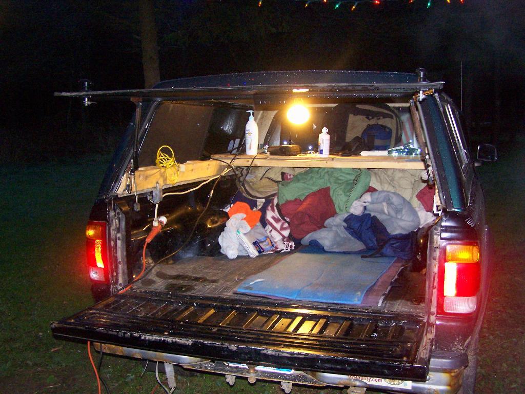
Roadside: 9, Tent: 1, Leanto: 0 nights …
| Date | Campsite | Where | Type | Notes |
|---|---|---|---|---|
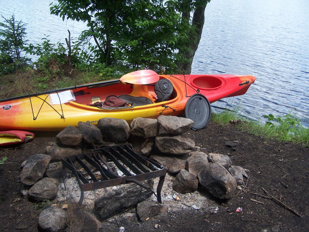
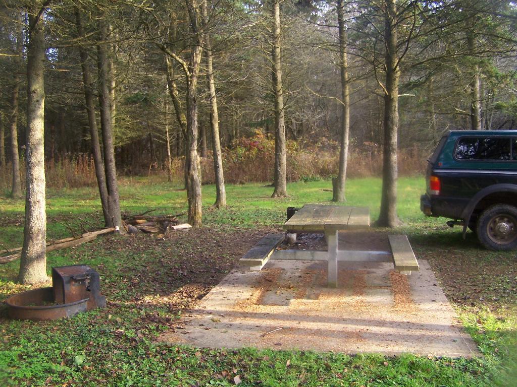
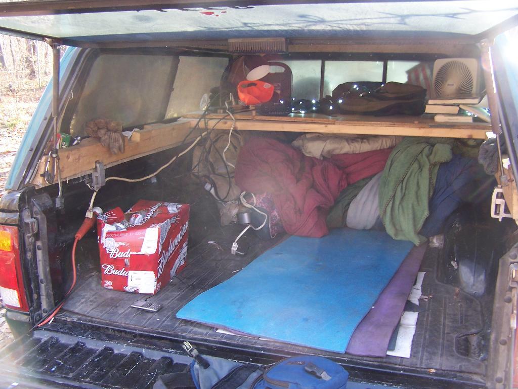
| 06/19/11 | Campsite On Forest Road 70 Near Lye Wilderness | Forest Road 70, Green Mountains NF, Kelley Stand, VT | Roadside camping (in pickup truck): no charge | Hiked towards Big Alder, but couldn’t cross stream. Rainy day, did a little paddling in Powley Place. Nicer day on Memorial Day |
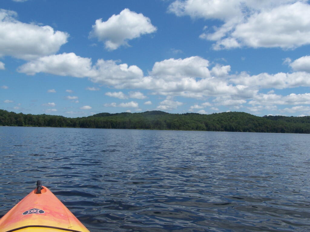
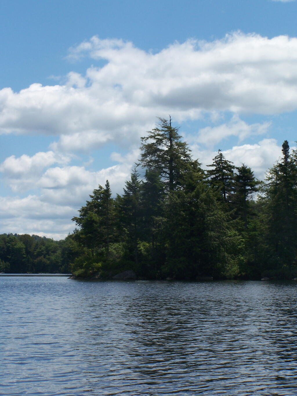
| 06/04/11 | Campsite On Back Side of Stockmans Island | Stockmans Island, Hudson River State Park, NY | Tent camping after paddling in on kayak | Put in at Coxscakie Boat Launch, camped on an island in Hudson River. |
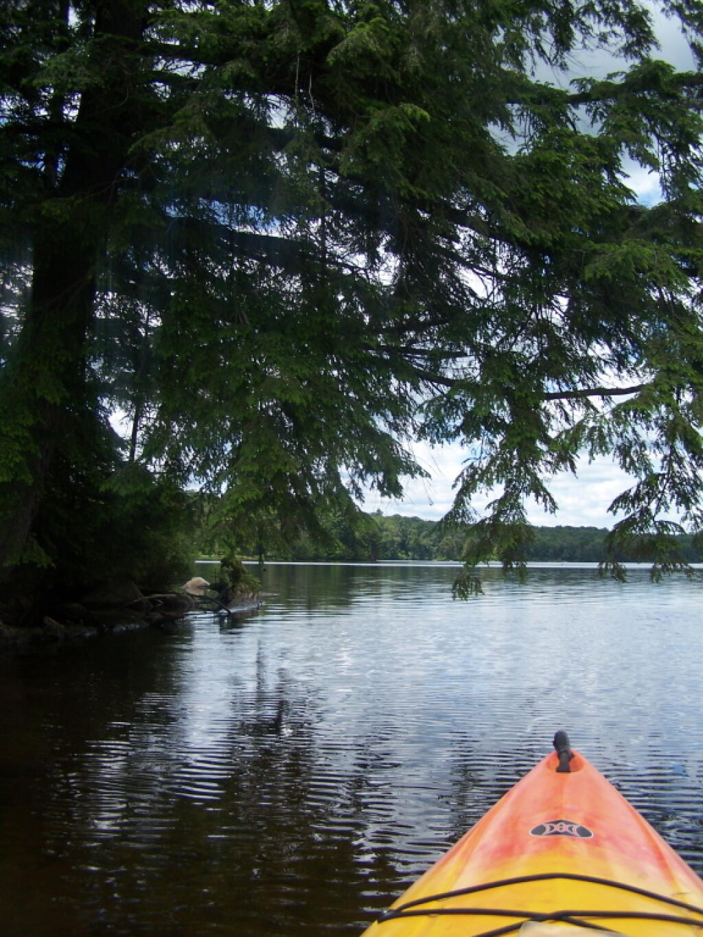
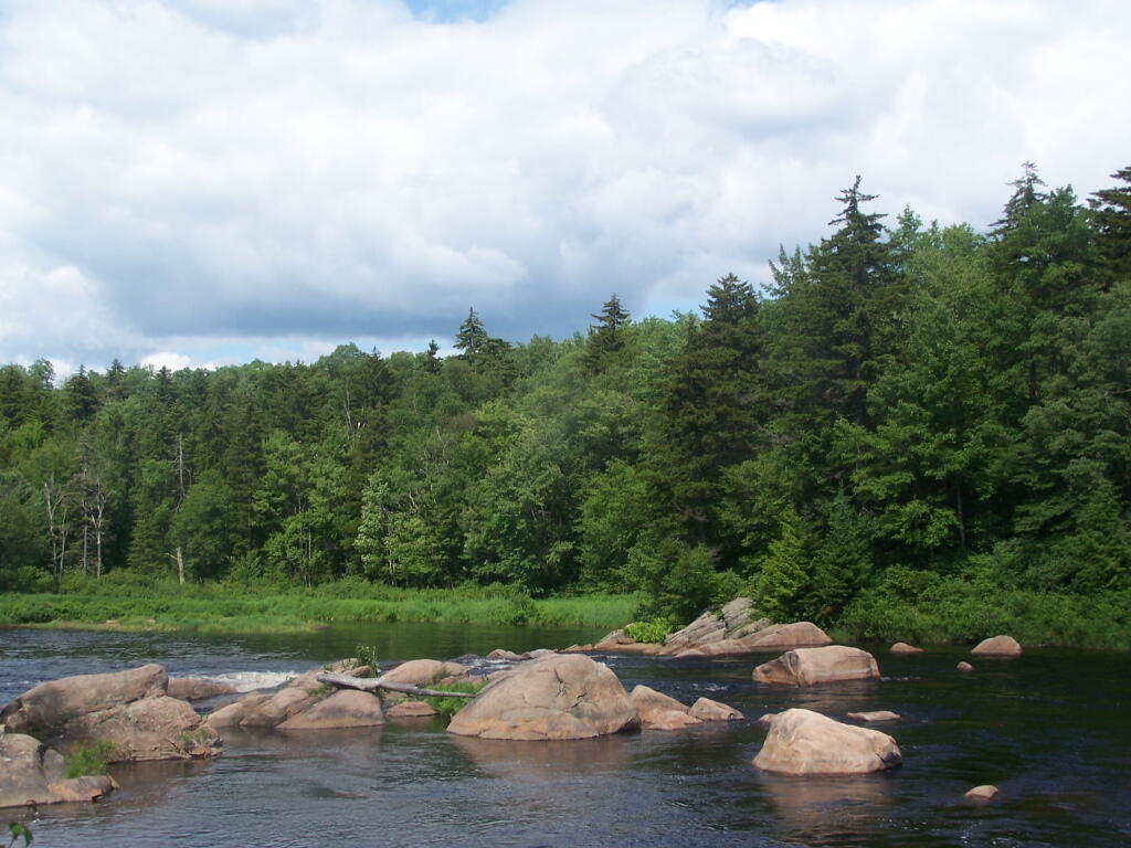
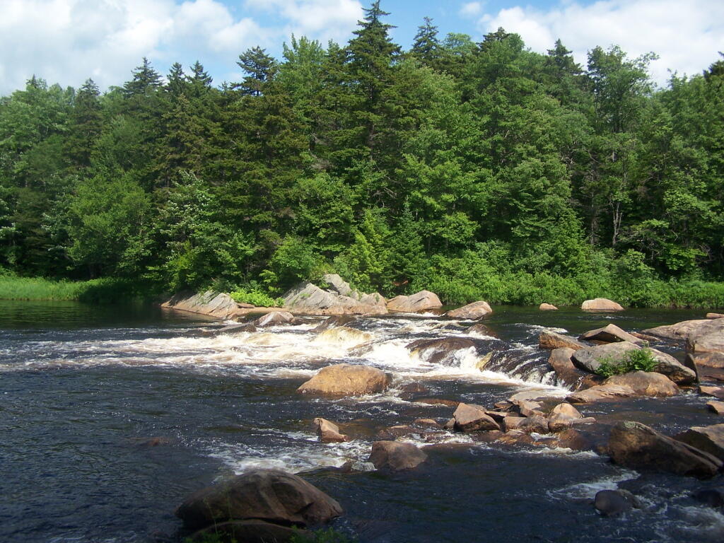
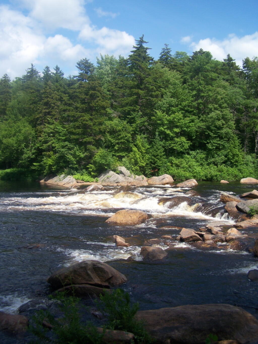
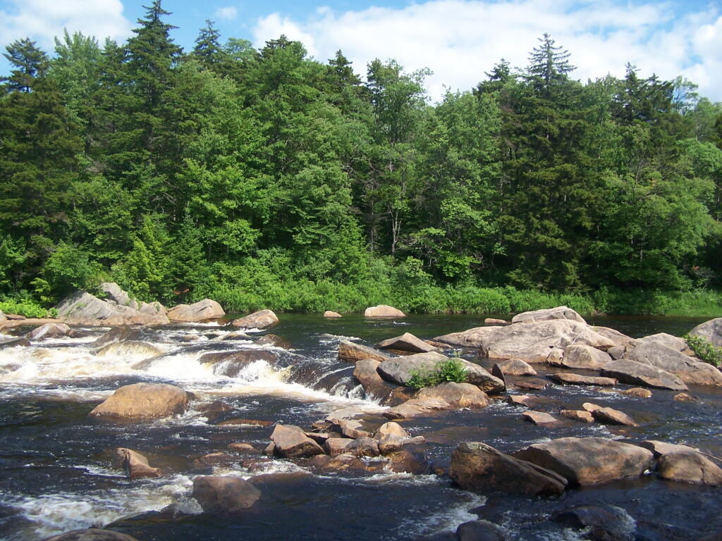
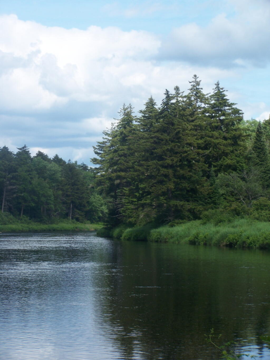
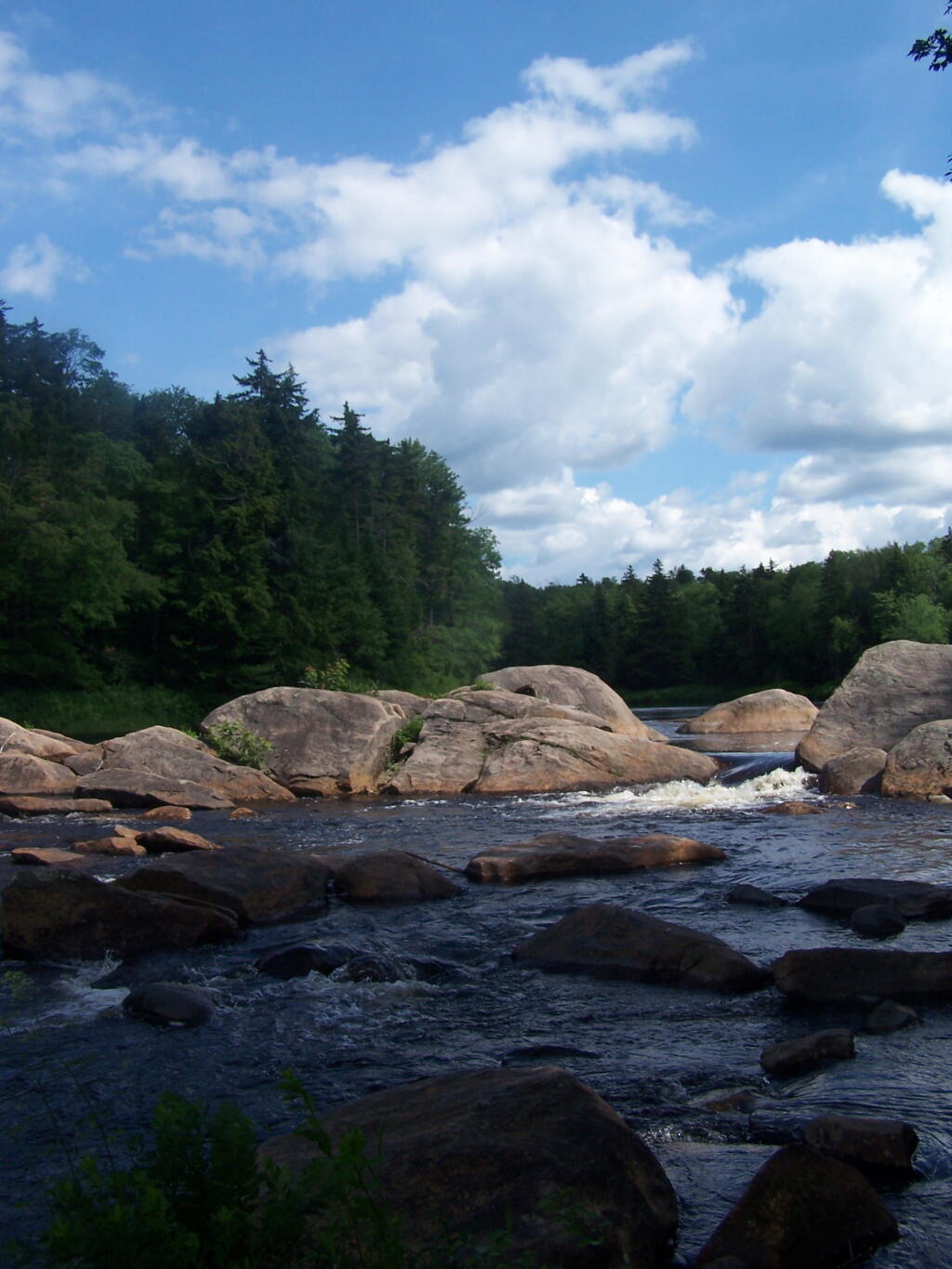
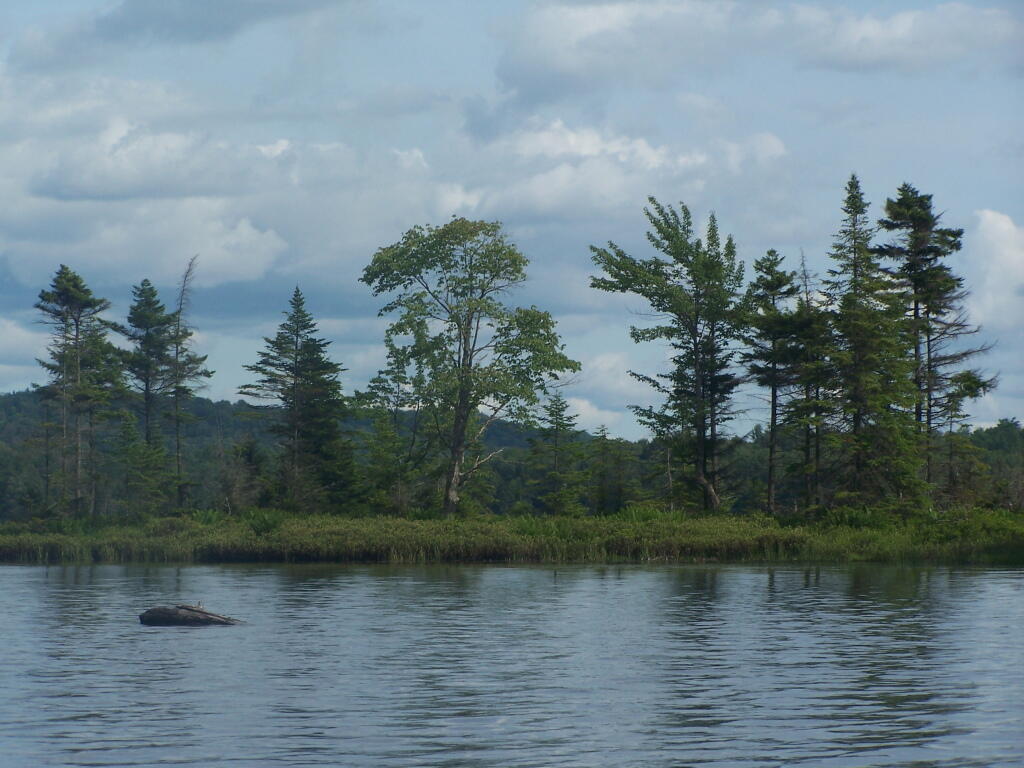
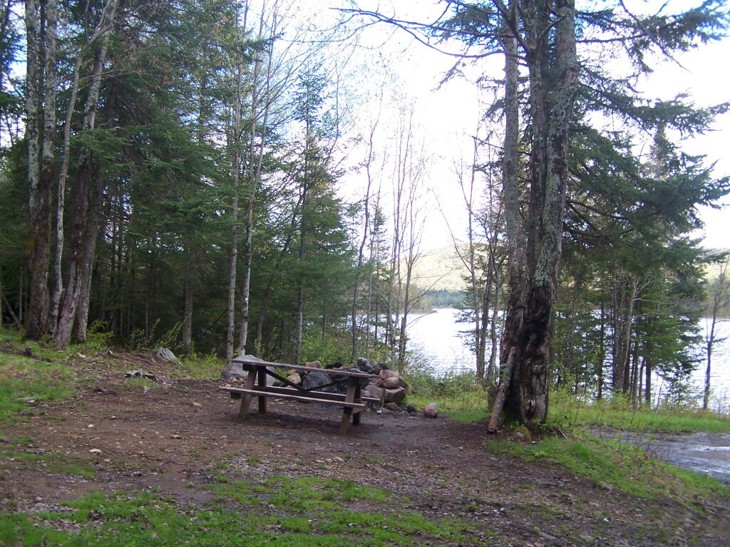
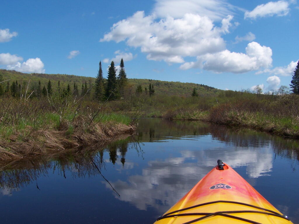
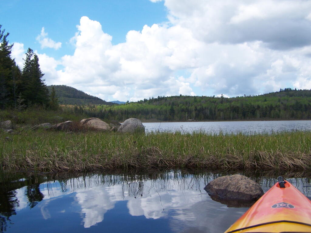
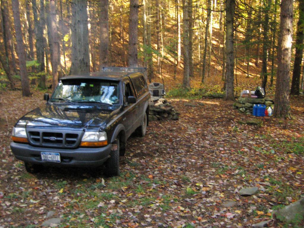
| 05/29/11 | Powley Place (Campsite 9) | Piseco-Powley Road, Ferris Lake Wild Forest, Stratford, NY | Roadside camping (in pickup truck): no charge | Hiked towards Big Alder, but couldn’t cross stream. Rainy day, did a little paddling in Powley Place. Nicer day on Memorial Day. |
| 05/28/11 | Powley Place (Campsite 9) | Piseco-Powley Road, Ferris Lake Wild Forest, Stratford, NY | Roadside camping (in pickup truck): no charge | Rainy day. Hiked around Powley Place. |
| 05/27/11 | Powley Place (Campsite 9) | Piseco-Powley Road, Ferris Lake Wild Forest, Stratford, NY | Roadside camping (in pickup truck): no charge | Left work early, drove up there. Nice evening before the rain. |
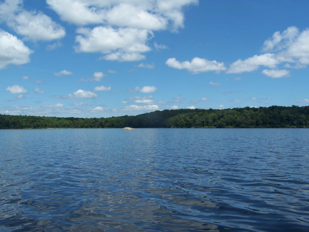
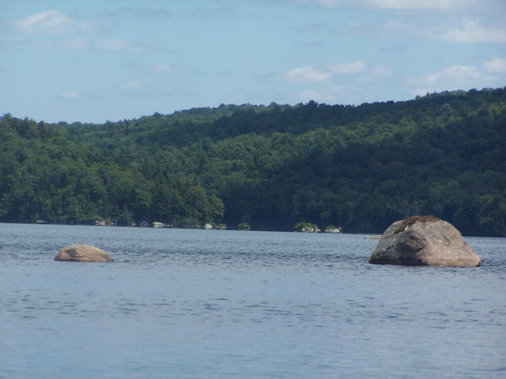
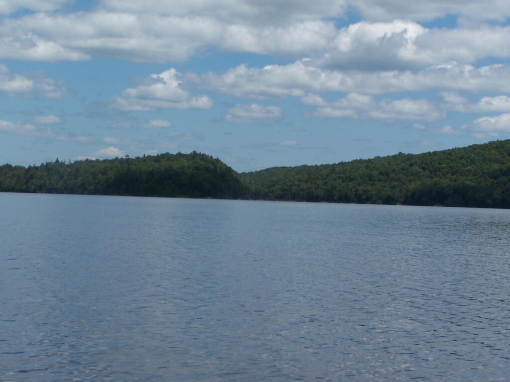
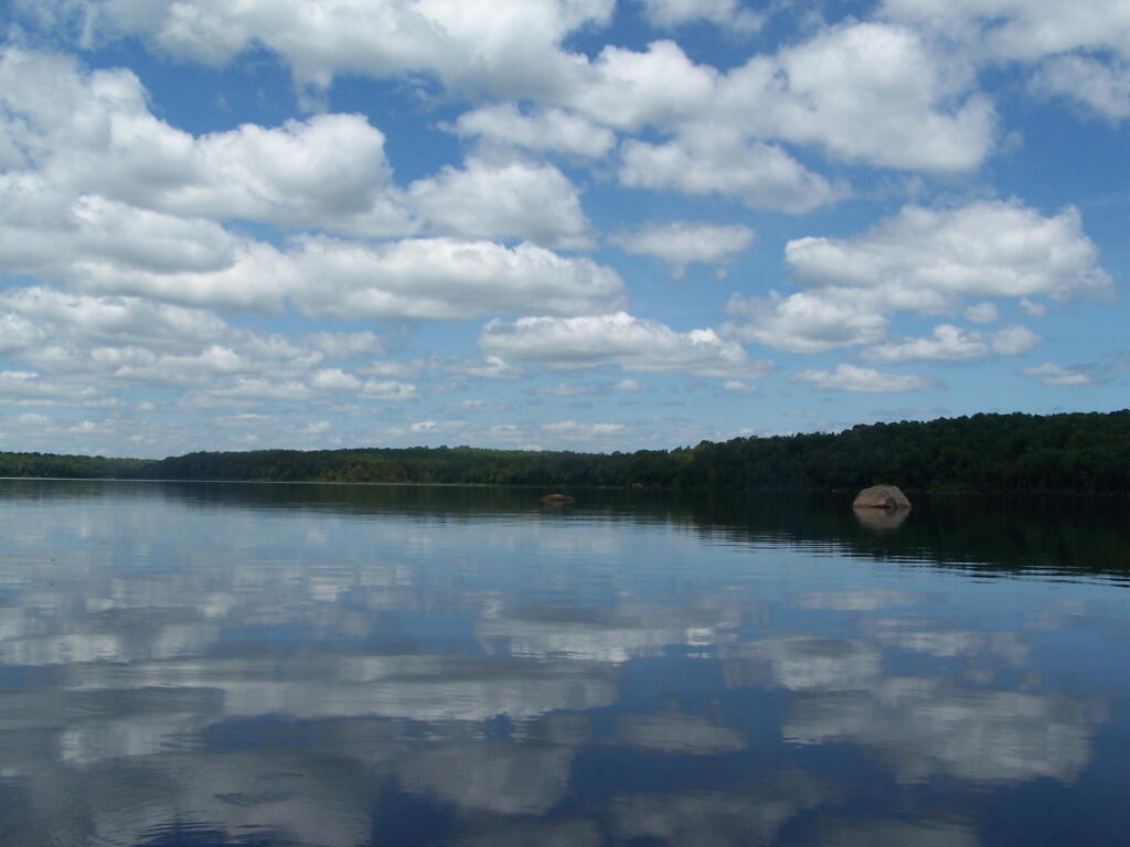
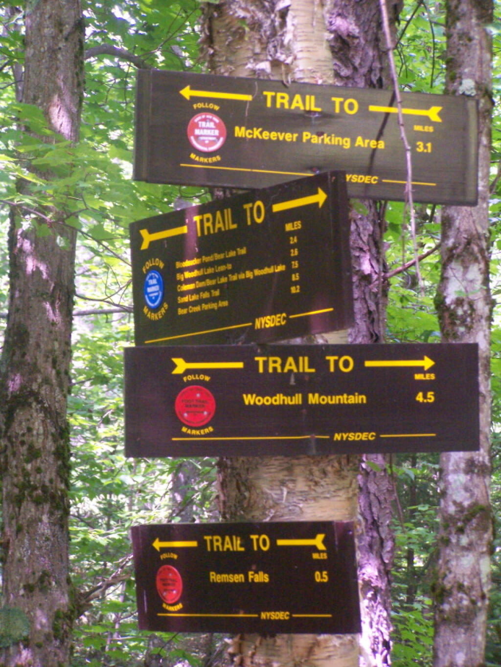
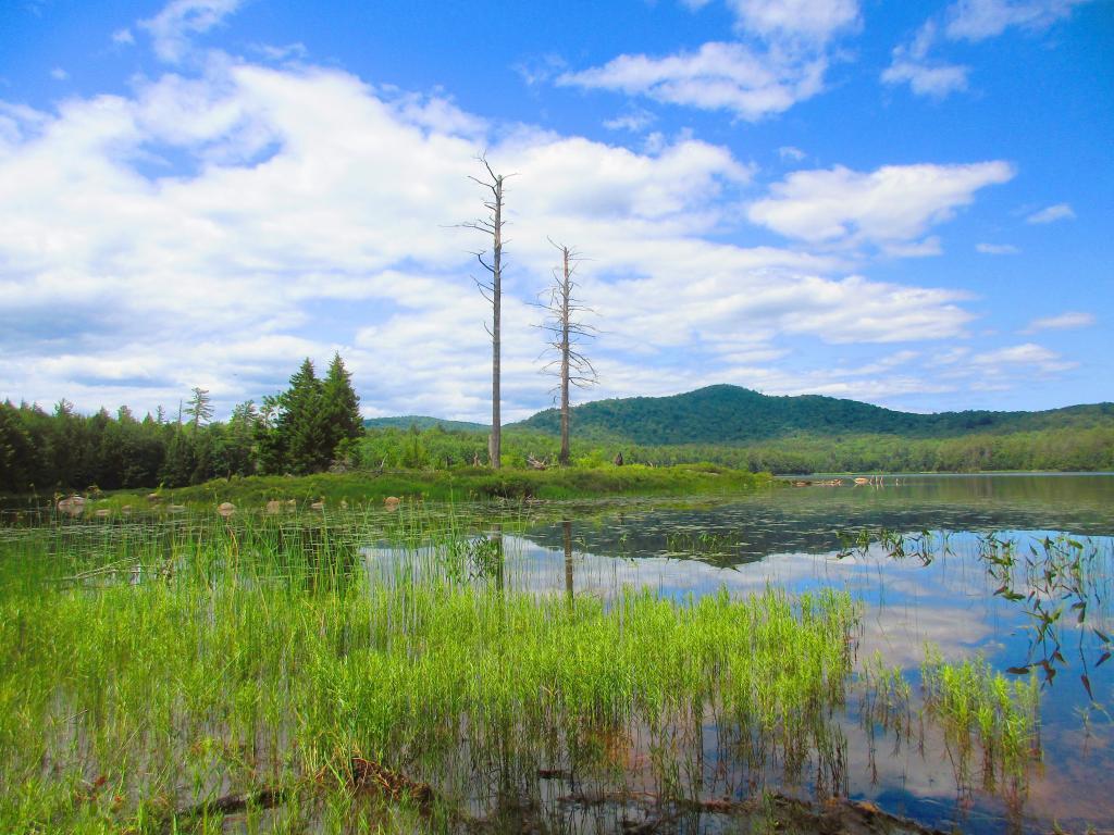
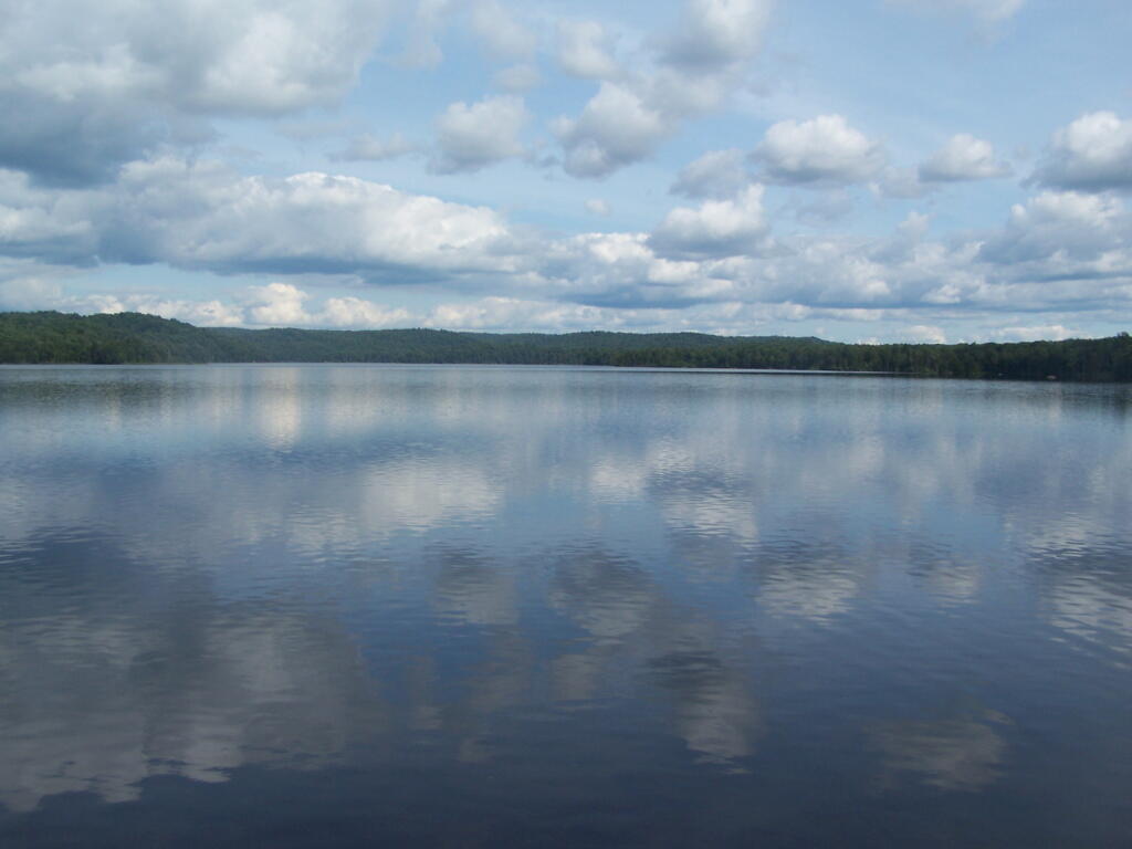
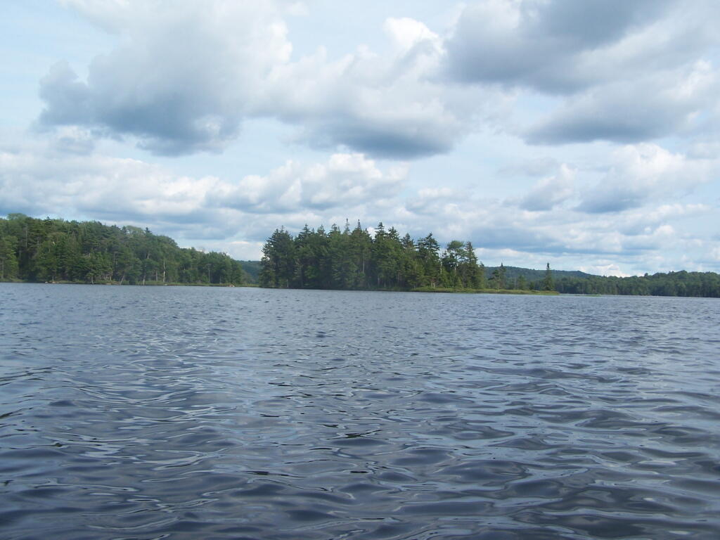
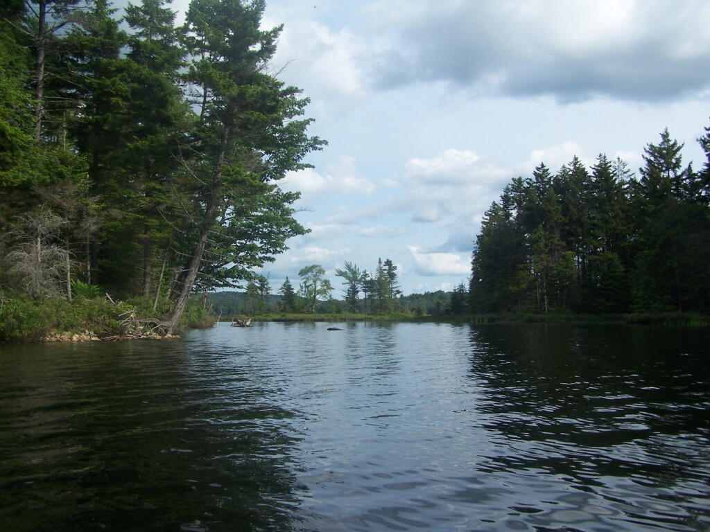
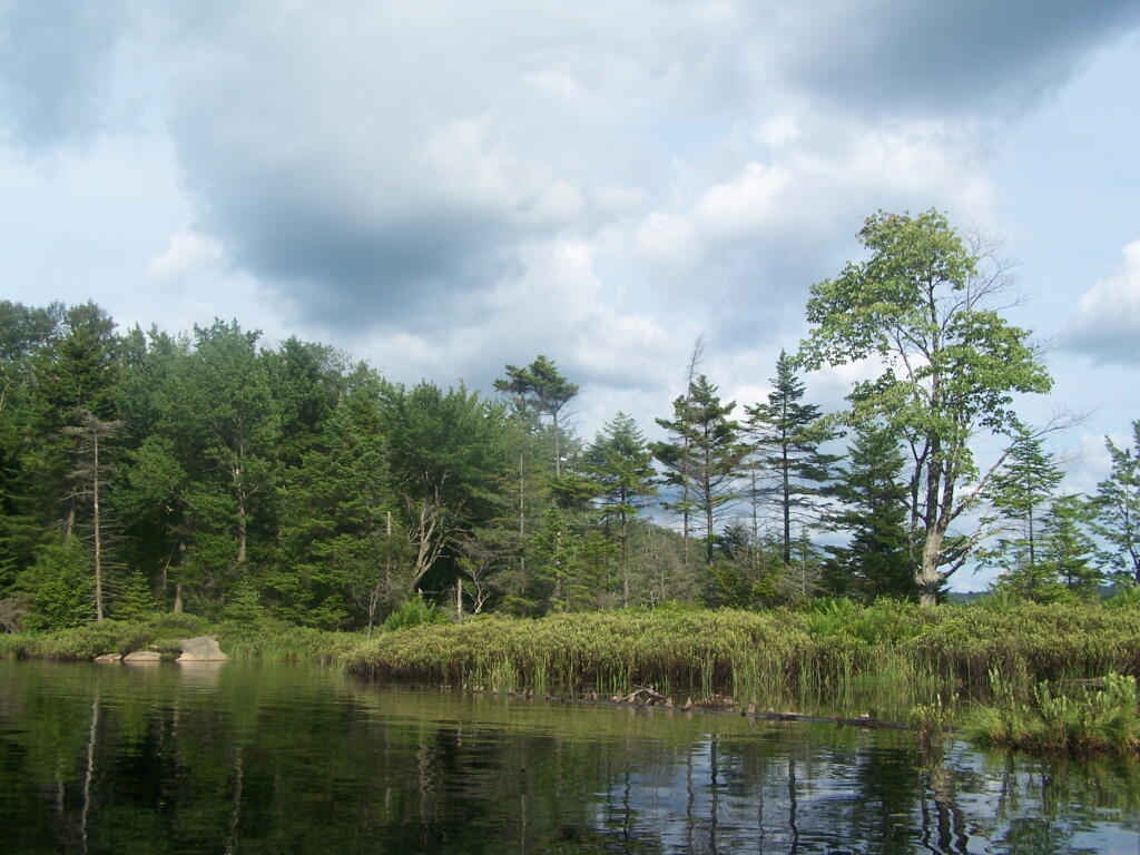
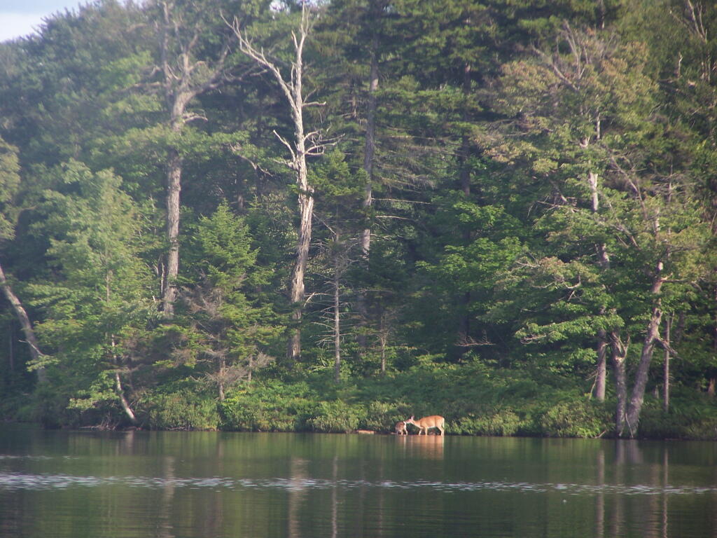
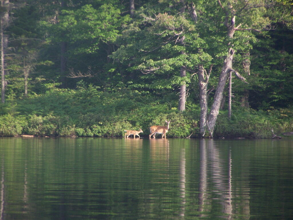
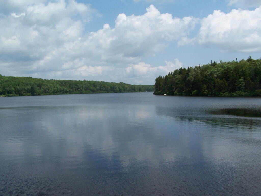
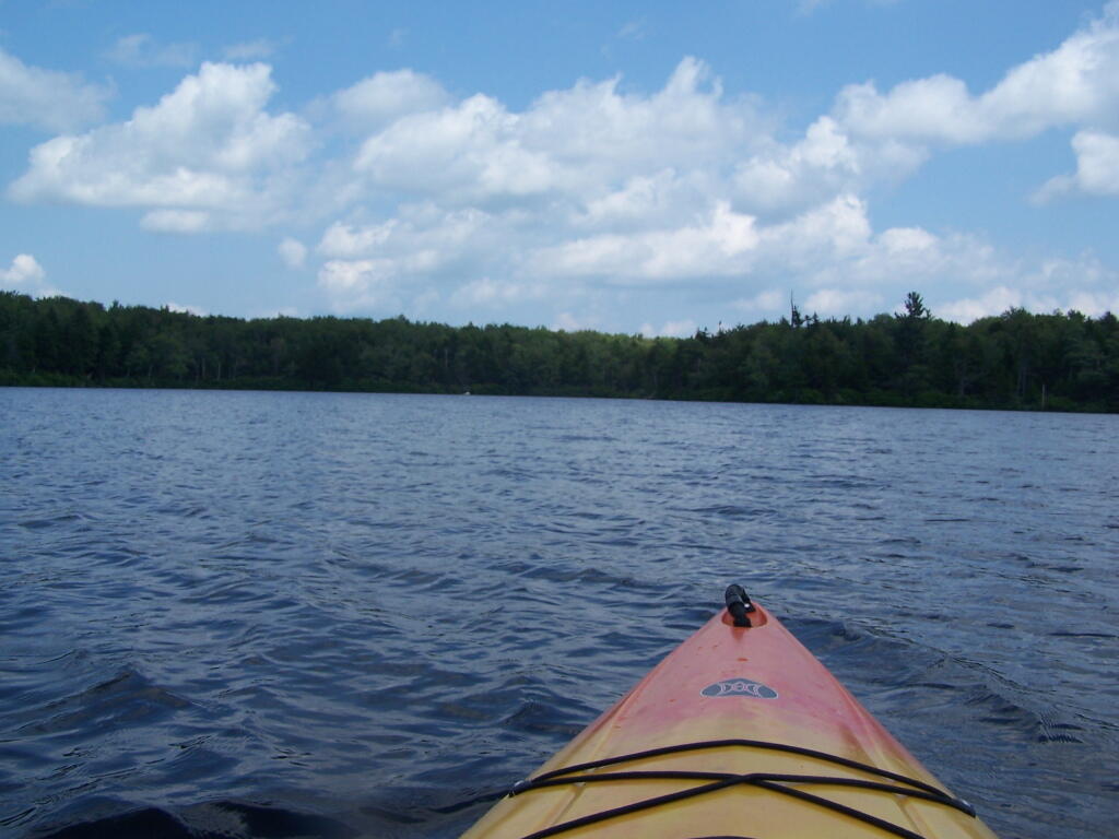
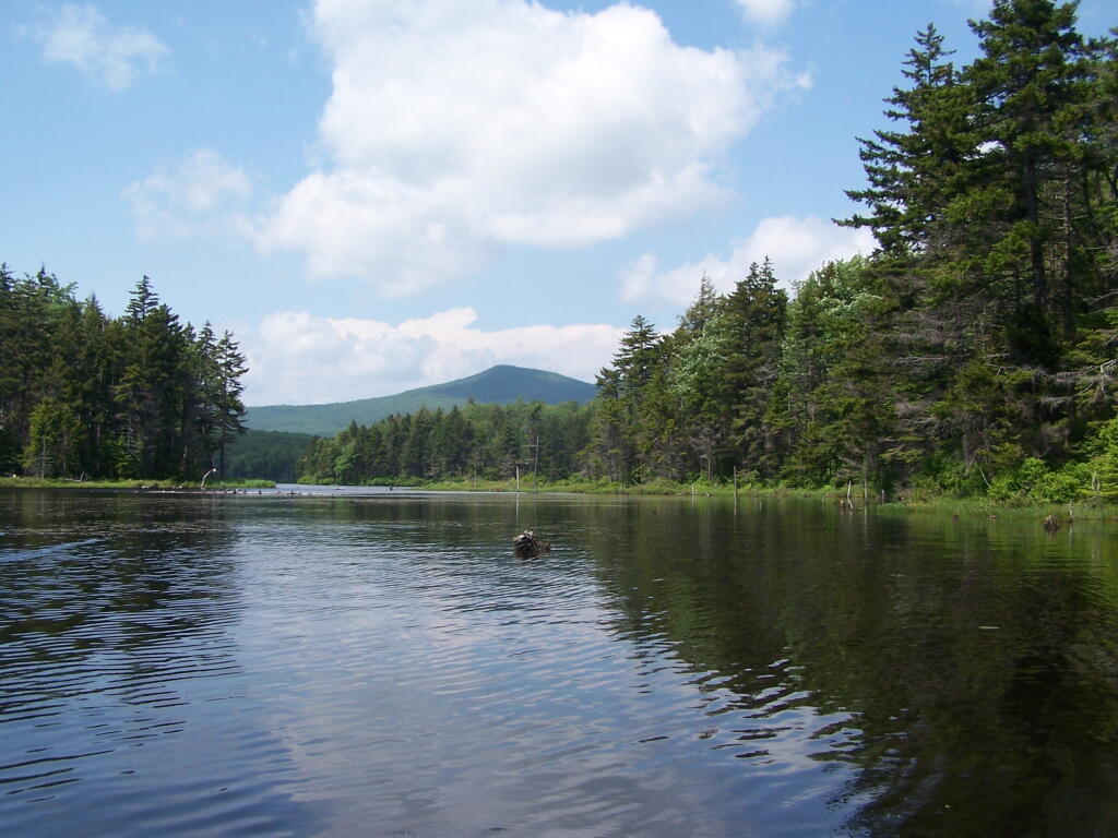
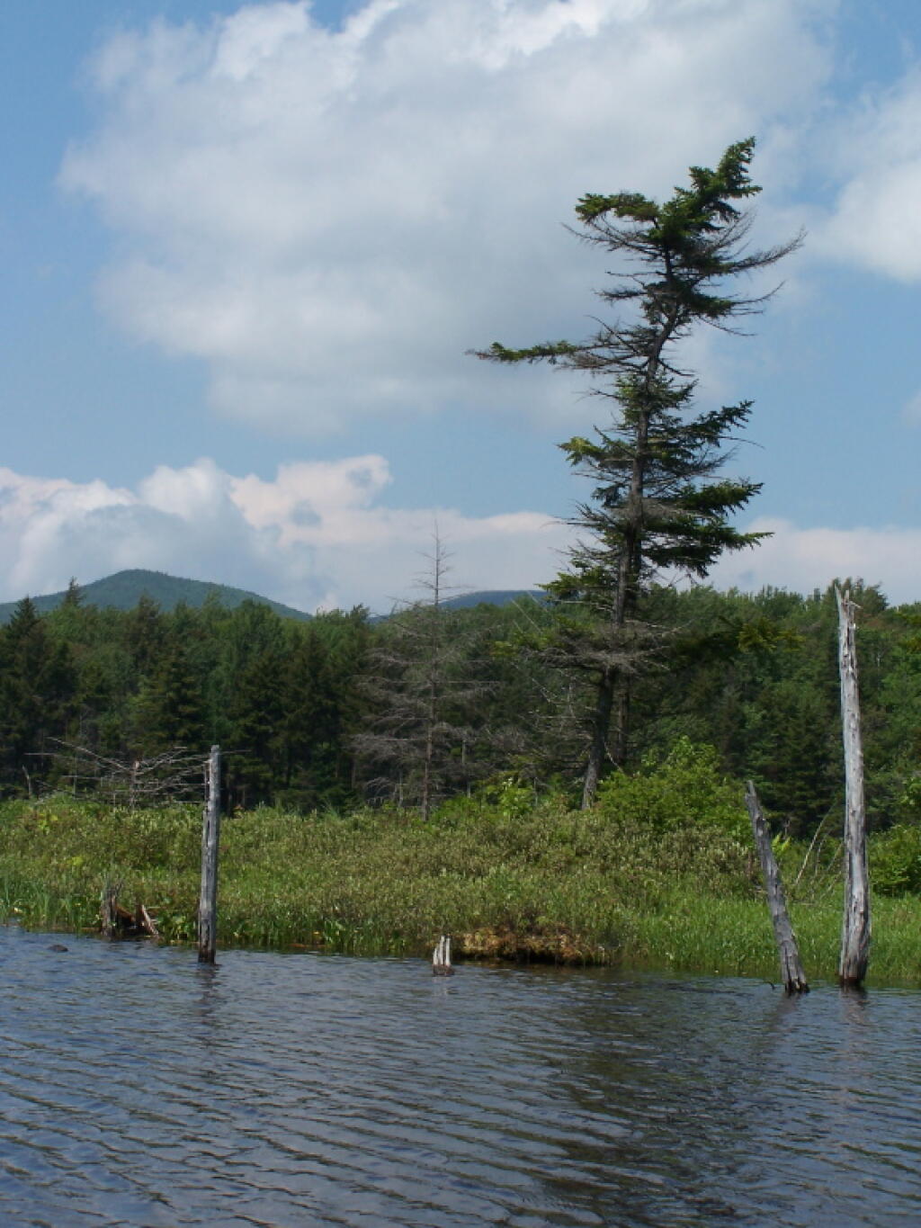
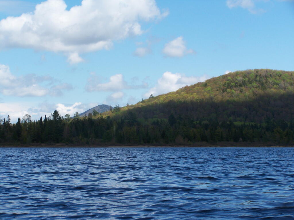
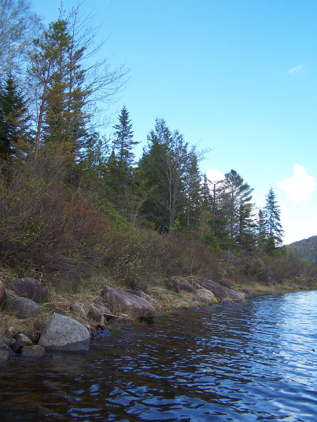
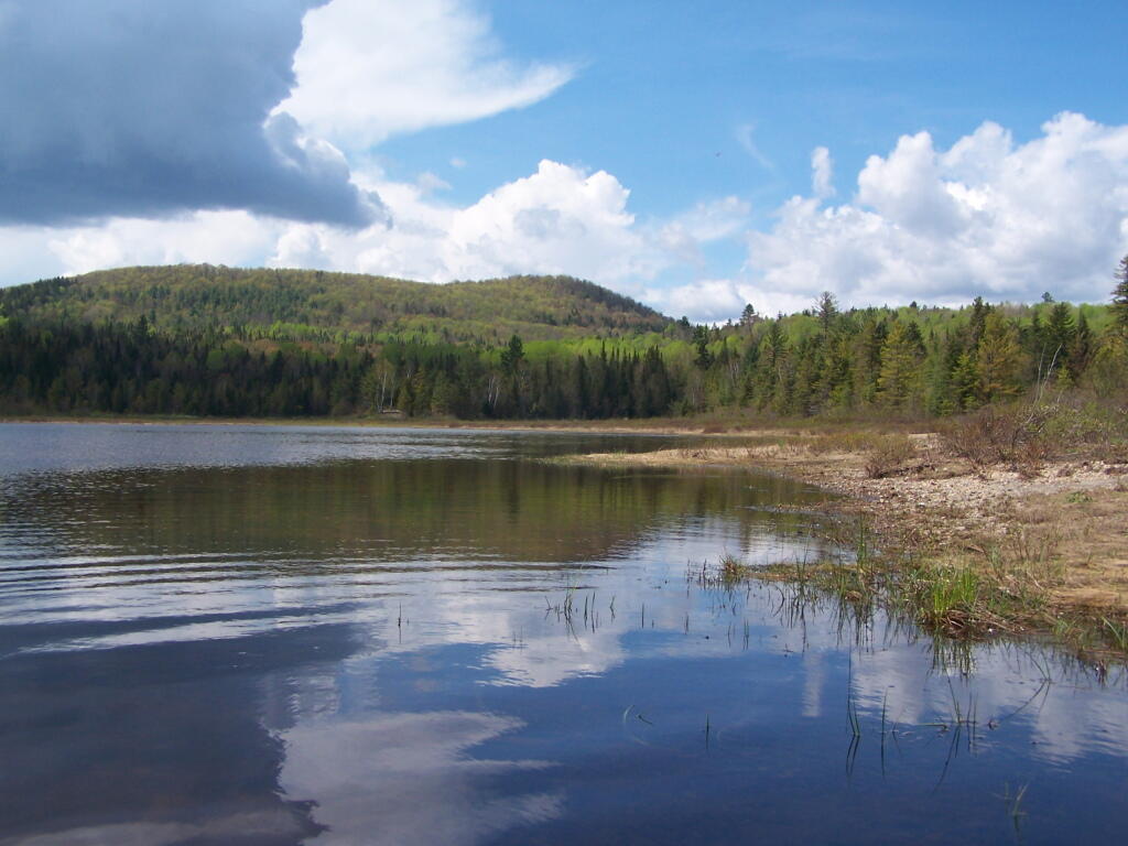
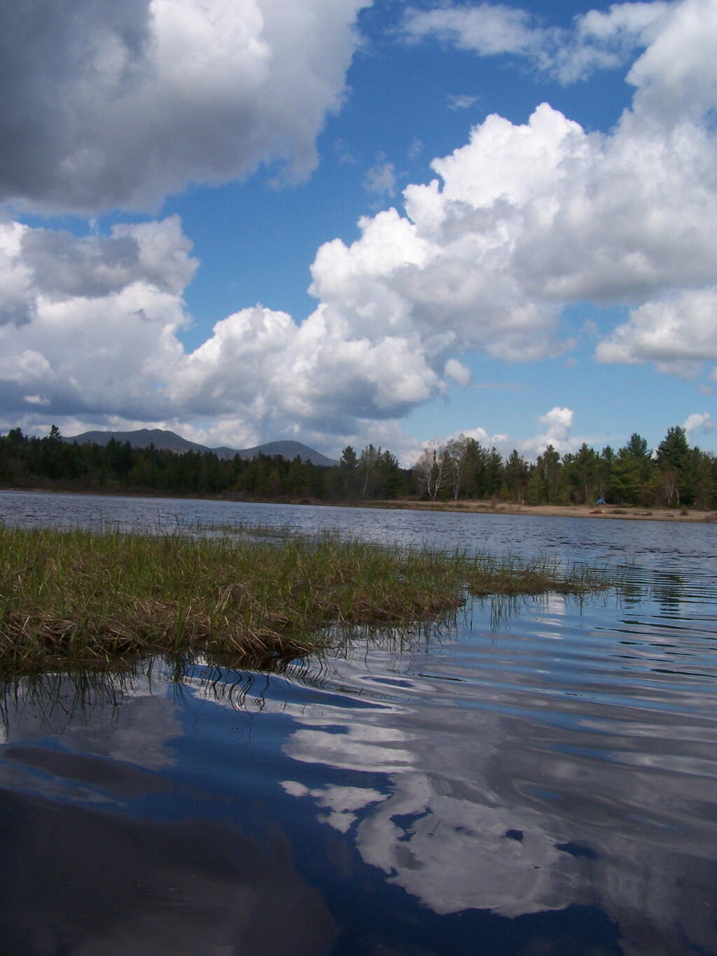
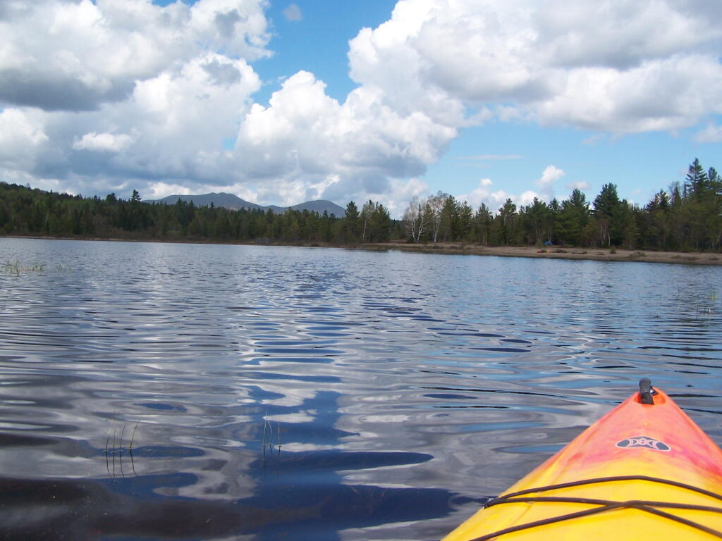
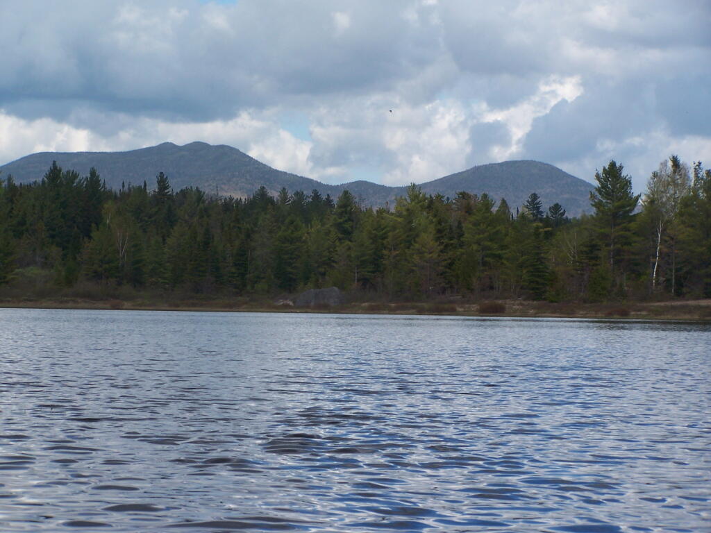
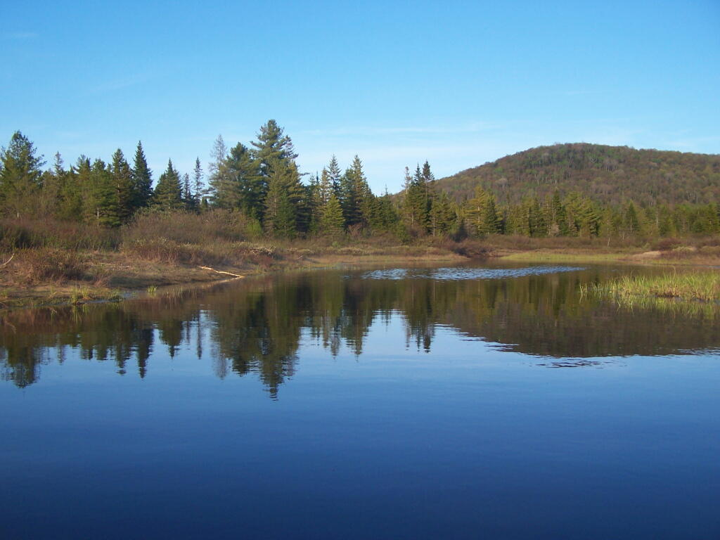
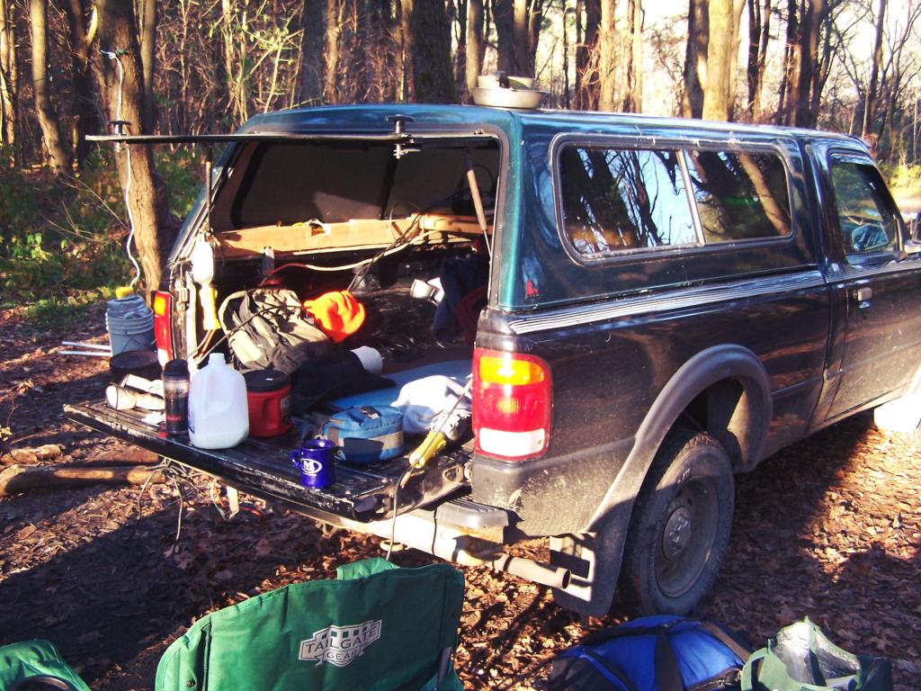
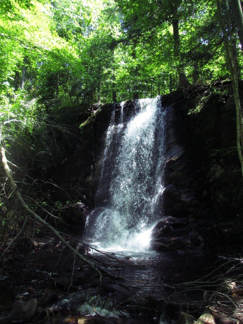
| 05/21/11 | Cheney Pond | Cheney Pond, Vanderwhacker Wild Forest, Newcomb, NY | Roadside camping (in pickup truck): no charge | Explored Vanderwhacker Wild Forest. Kayaked around Cheney Pond couple of times, explored Tawandus Ruins. |
| 05/20/11 | Fox Lair Campsite | NY Route 8, Wilcox Lake Wild Forest, Bakers Mills, Adirondacks, NY | Roadside camping (in pickup truck): no charge | Much nicer this time, a little rain, things greened up. Got a little rain, very damp. |
| 04/22/11 | Fox Lair Campsite | NY Route 8, Wilcox Lake Wild Forest, Bakers Mills, Adirondacks, NY | Roadside camping (in pickup truck): no charge | Woke up to 3” of cold wet snow and rain, decided to go home and abandon trip. |
| 04/21/11 | Gravel Pit Campsite | NY Route 8, Wilcox Lake Wild Forest, Griffin, Adirondacks, NY | Roadside camping (in pickup truck): no charge | Cold morning, trees covered with ice. Hike up around part of 13th Lake near North Creek, NY |
| 04/09/11 | Moscow Hill Horse Camp | Brookfield State Forest aka Charles Baker State Forest, Brookfield, NY | Roadside camping (in pickup truck): no charge | One other camper here, no equestrians this time of year. Wanted to camp on Cherry Ridge, however too much snow there. |

March – December 2010.
Roadside: 28, Tent: 2, Leanto: 1 nights …
| Date | Campsite | Where | Type | Notes |
|---|---|---|---|---|
| 12/4/10 | Old NY 8 | Wilcox Lake Wild Forest, Griffin, NY | Roadside camping (in pickup truck): no charge | Very cold. Ice and snow on truck in morning. Kind of close to NY 8, but all the best campsites taken by hunters. |
| 11/12/10 | Lower Assembly Area | Sugar Hill State Forest, Watkins Glen, NY | Roadside camping (in pickup truck): no charge | Woke up surrounded by Horse Trailers and equestrians in morning. Assembly area was closed this time of year, but horse trails still widely used. |
| 11/11/10 | Informal campsite on Forest Road 151 | Allegheny National Forest, Near Sayre, PA | Roadside camping (in pickup truck): no charge | Second night at Allegheny National Forest. I liked the site I stayed in the previous day a lot, and the days where too short (sunset at 4:45 PM), so no time to waste searching for a site. |
| 11/10/10 | Informal campsite on Forest Road 151 | Allegheny National Forest, Near Bradford, PA | Roadside camping (in pickup truck): no charge | Many sites in Allegheny National Forest. This one I particularly liked, so I decided to stay there. |
| 11/09/10 | Aspah Run Camping Area | Aspah, near Wellsboro, PA | Roadside camping (in pickup truck): paid primitive area | Decided due to a lack of a time due to early sunset, would have done roadside/back country camping, but for $10, and being alone, it was fine. |
| 11/08/10 | Aspah Run Camping Area | Aspah, near Wellsboro, PA | Roadside camping (in pickup truck): paid primitive area | Camped here, because I didn’t want to camp back country, and didn’t know the area well enough. |
| 11/07/10 | Lower Assembly Area | Sugar Hill State Forest, Watkins Glen, NY | Roadside camping (in pickup truck): no charge | Originally wanted to camp at Birds Eye Lake or something like that, but the map I had got me lost, and I couldn’t find the road campsite up there. |
| 11/06/10 | Campsite 7 | Stoney Pond State Forest, Madison, NY | Roadside camping (in pickup truck): no charge | Frost/ice on puddles in morning. Some snow in some places. |
| 09/05/10 | Campsite 56 | Moose River Plains, Inlet, Adirondacks, NY | Roadside camping (in pickup truck): no charge | Rain showers, enjoyed staying in a very private and quite campsite up in the sandy plains. |
| 09/04/10 | Campsite 56 | Moose River Plains, Inlet, Adirondacks, NY | Roadside camping (in pickup truck): no charge | Hiked to Mitchells Pond. More rain. It was kind of wet and cold. |
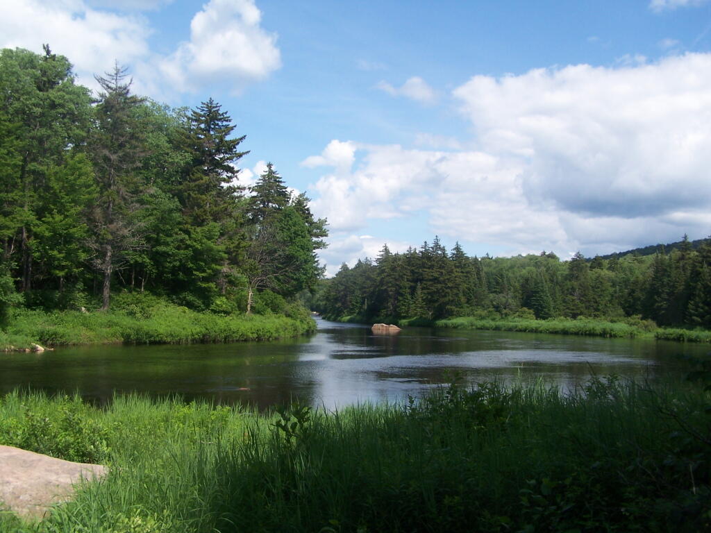
| 09/03/10 | Campsite 56 | Moose River Plains, Inlet, Adirondacks, NY | Roadside camping (in pickup truck): no charge | Kind of wet and rainy, hung out in camp, did a little exploring of the plains. Also, paddled in Cedar River Flow for a while. Enjoyed the very private drive in site here. |
| 09/02/10 | Campsite 2 | Moose River Plains, Inlet, Adirondacks, NY | Roadside camping (in pickup truck): no charge | I left work at 5 PM…. but with traffic, and wanting to get a pizza to eat on the way up, didn’t get to Moose River Plains until after 9 PM. Very dark, very tired, just wanted a place to collapse. |
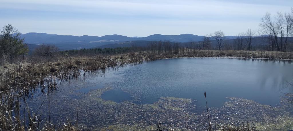
| 08/28/10 | An Designated Campsite | Big Pond, near Margretville, NY | Kayak in Primitive Campsite: no charge | Did a little hiking an exploring around Ashfield Pinnacle, then drove south to Big Pond. Lantern did not work, a very dark night. |
| 08/27/10 | Betty Brook Campsite | Burnt-Rossman Hill State Forest, Schoharie, NY | Roadside camping (in pickup truck): no charge | Nice night after work…. drove around Mallet Pond State Forest, looking for campsites and interesting places to explore. |
| 08/14/10 | Mountain Pond Campsite 4 | Mountain Pond, Paul Smiths, NY | Roadside camping (in pickup truck): no charge | Last day of NY 30 Kayak vacation. Mountain Pon was nice, very remote, just off of NY 30. |
| 08/13/10 | Floodwood Road Campsite 3 | Floodwood Road, Fish Creek Ponds, NY | Roadside camping (in pickup truck): no charge | Crowded, stayed down by Poliwog Pond… wouldn’t go there again. |
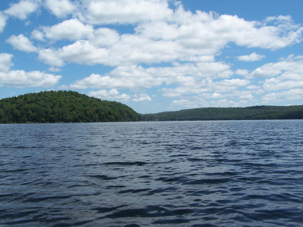
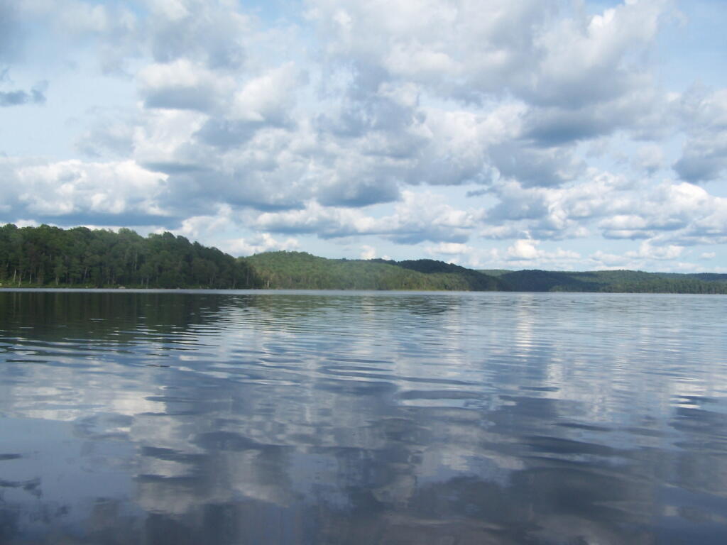
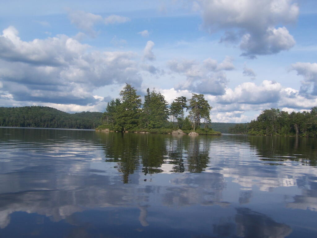
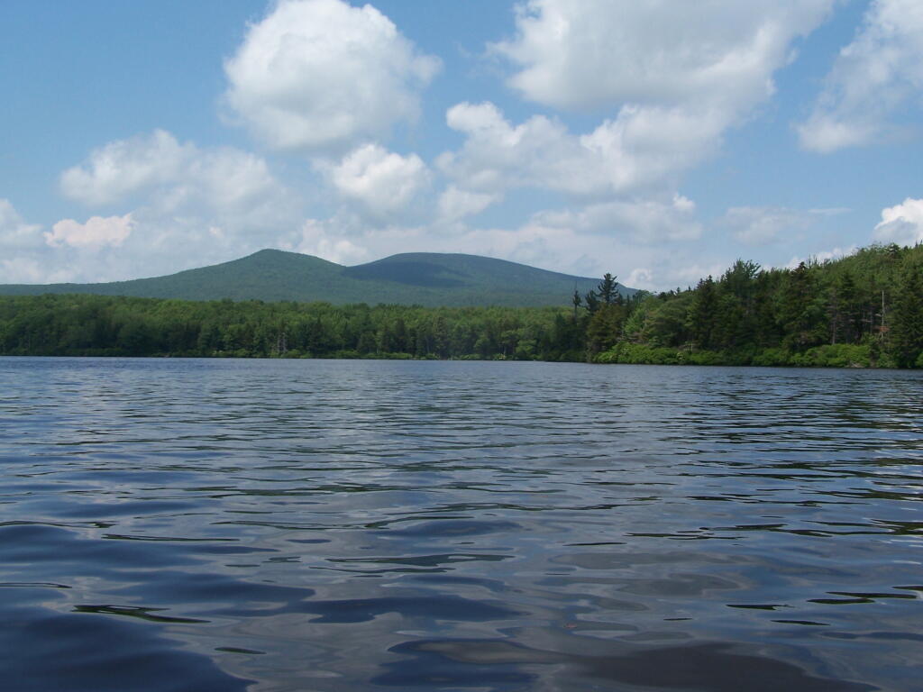
| 08/12/10 | Horseshoe Lake Campsite 8 (about a ½ mile from lake) | NY 421, Horseshoe Lake, NY | Roadside camping (in pickup truck): no charge | Couldn’t get a site right on Horseshoe Lake. Discovered Lows Lake – amazing. |
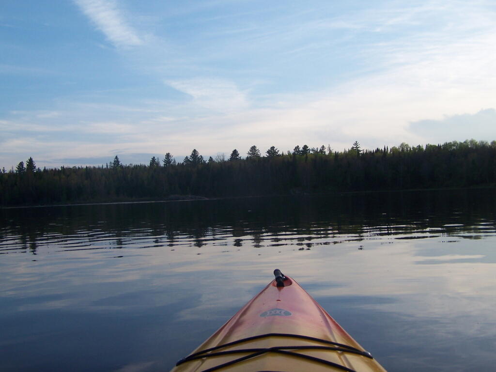
| 08/11/10 | Wakely Pond Campsite 7 | Moose River Plains, Inlet, Adirondacks, NY | Roadside camping (in pickup truck): no charge | Wanted to paddle Cedar River Flow and enjoy camping up near water … |
| 08/10/10 | Undesigned Campsite, west side of road | Mason Lake, Spectulator, NY | Roadside camping (in pickup truck): no charge | First day of kayak vacation, as I drove up from work, decided to go somewheres not too far away … |
| 07/31/10 | Undesigned Campsite, west side of road | Mason Lake, Spectulator, NY | Roadside camping (in pickup truck): no charge | Hiked to Pillsbury Mountain Firetower, then camped down at Mason Lake. |
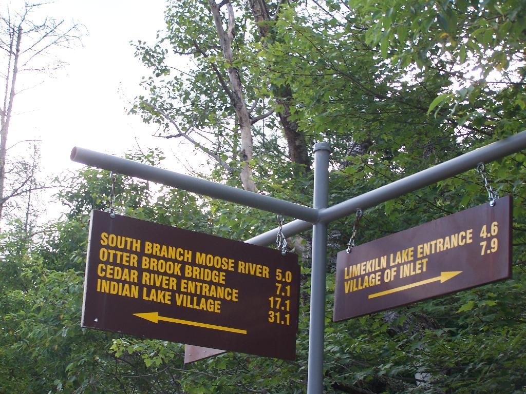
| 07/18/10 | Otter Brook Campsite (MRP Number 110) | Moose River Plains, Inlet, Adirondacks, NY | Roadside camping (in pickup truck): no charge | Camped by the Otter Brook Bridge, at a rather large campsite. Not my favorite campsite, and it poured out. |
| 07/17/10 | Wakely Pond Campsite 8 | Moose River Plains, Inlet, Adirondacks, NY | Roadside camping (in pickup truck): no charge | Camped down by Cedar River Flow, in a drive in site, a short way from the Flow, but also pretty private. |
| 07/16/10 | Wakely Pond Campsite 8 | Moose River Plains, Inlet, Adirondacks, NY | Roadside camping (in pickup truck): no charge | Camped down by Cedar River Flow, in a drive in site, a short way from the Flow, but also pretty private. |
| 07/15/10 | Wakely Pond Campsite 8 | Moose River Plains, Inlet, Adirondacks, NY | Roadside camping (in pickup truck): no charge | Camped down by Cedar River Flow, in a drive in site, a short way from the Flow, but also pretty private. |
| 06/27/10 | Balsam Swamp Camping Area Site 3 | Balsam Pond, East East Pharsalia, NY | Roadside camping (in pickup truck): no charge | Came back to here, after exploring Labrador Hollow. |
| 06/26/10 | Balsam Swamp Camping Area Site 3 | Balsam Pond, East East Pharsalia, NY | Roadside camping (in pickup truck): no charge | Stop over between Burnt-Rossman and Labrador Hollow. Liked camping here in the past. |
| 06/25/10 | Duck Pond Campsite | Burnt-Rossman Hill State Forest, Summit, NY | Roadside camping (in pickup truck): no charge | Camped up a Duck Pond for a change, after driving out here after work. |
| 06/05/10 | Leonard Hill Informal Overlook and Campsite | Leonard Hill, Broome Center, NY | Roadside camping (in pickup truck): no charge | Camped up by the Firetower at an informal campsite, watched sun set, weather turned to rain by morning … |
| 06/04/10 | Betty Brook Campsite | Burnt-Rossman Hill State Forest, Schoharie, NY | Roadside camping (in pickup truck): no charge | Camped at Betty Brook, very humid, drove down to Utsaythana Firetower. |
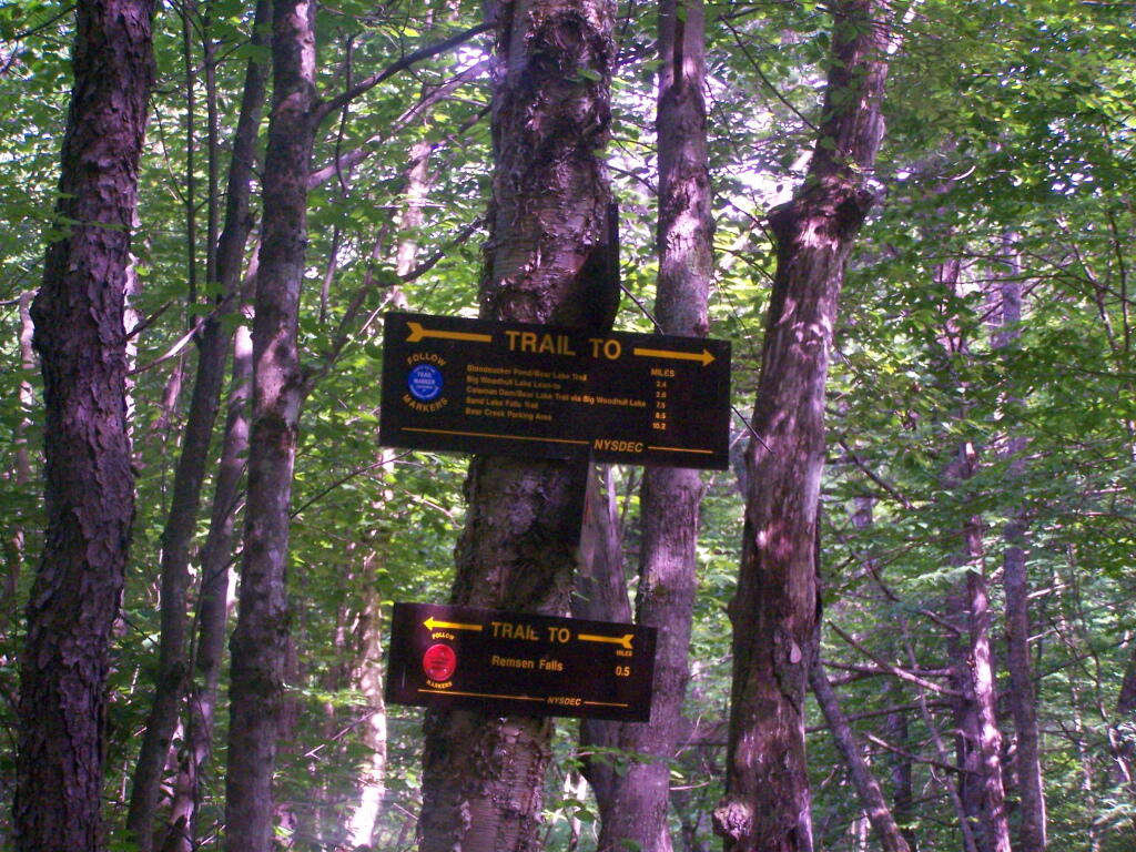
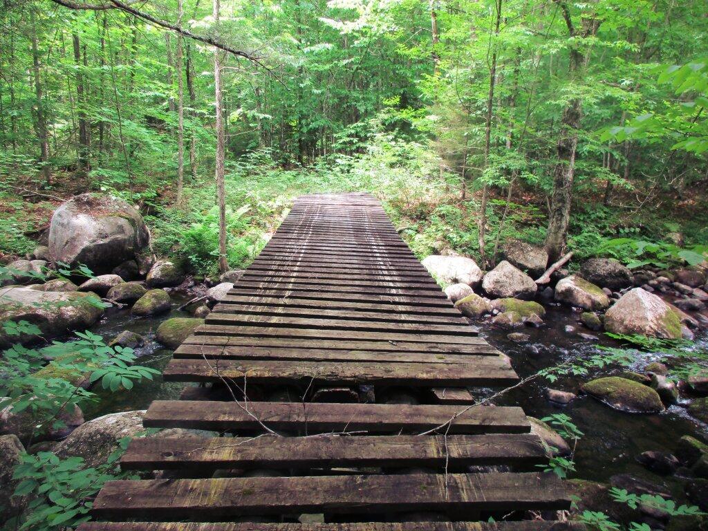
| 05/15/10 | Alder Pond Campsite 2 | Alder Pond, Balsam Lake Wild Forest, Margretville, NY | Tent campsite…. short backpack in: no charge | Camped at one of the campsites around Alder Pond. |
| 04/03/10 | Betty Brook Campsite | Burnt-Rossman Hill State Forest, Schoharie, NY | Roadside camping, in a tent | Didn’t have the cap on my truck yet, but wanted to roadside camp. |
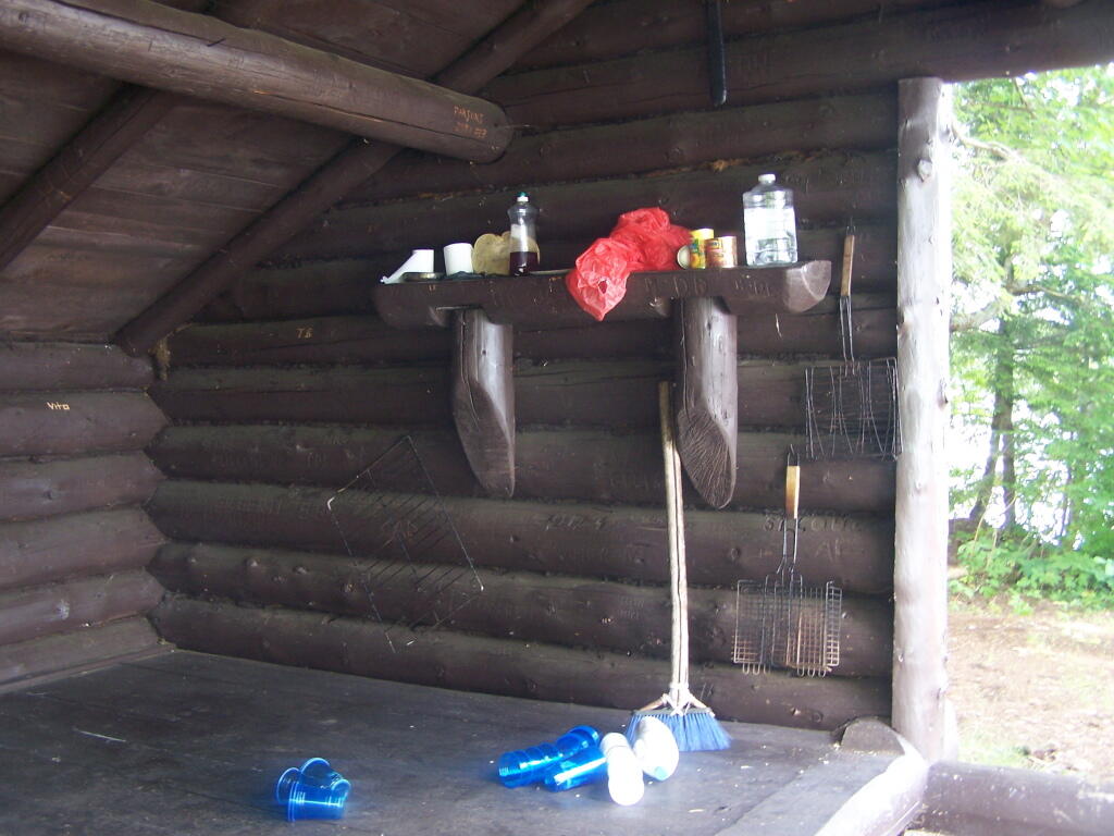
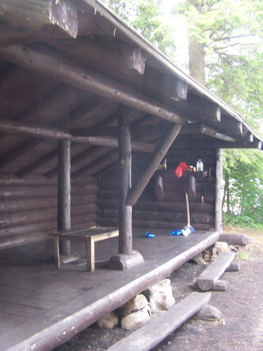
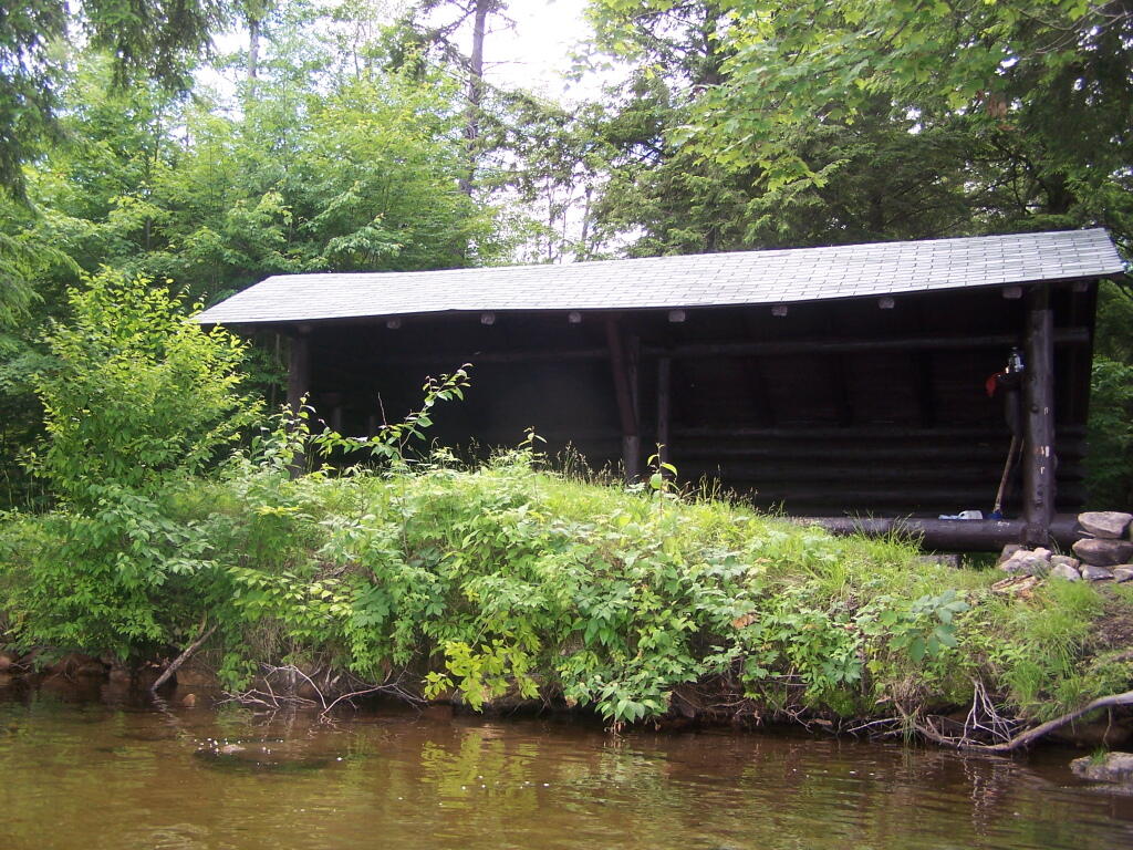
| 03/21/10 | Cotton Hill Lean To | Cotton Hill, Middleburgh | Short backpack into a leanto | There was about a foot of snow up by Cotton Hill Leanto on first day of spring, but due to abnormally warm weather, wasn’t all that cold until late into the night. |
August – October 2009.
Roadside: 3, Tent: 0, Leanto: 0 (thru August 2009) …
| Date | Campsite | Where | Type | Notes |
|---|---|---|---|---|
| 10/11/09 | Betty Brook Campsite | Burnt-Rossman Hill State Forest, Schoharie, NY | Roadside camping (in pickup truck): no charge | First really cold evening of the year, very much fall like. I didn’t bring my warm coat with me. |
| 10/10/09 | Betty Brook Campsite | Burnt-Rossman Hill State Forest, Schoharie, NY | Roadside camping (in pickup truck): no charge | Fairly cold night, but not as bad as one might have thought. On way out, stopped at Leonard Hill to take some pictures. |
| 08/08/09 | Betty Brook – informal campsite along road | Burnt-Rossman Hill State Forest, Schoharie, NY | Roadside camping (in pickup truck): no charge | After hiking Slide Mountain and Balsam Lake Firetower. Dead tired … |