Search Results for: photo campsite 2 2

State Should Require Companies to Remove Logging Trash from Trails

One of my pet peeves is state lands is where there has been a recent clear-cut timber harvest and hiking trails are not cleared of logging trash. Logging is important part of managed forests, but it’s one of many uses.

Along the Long Path

Unsalable tree tops and other brush or so-called “logging trash” has an important role as wildlife habitat. The logging trash will rot away and leave valuable soil for trees and forest to grow up and around. Leaving logging trash on steep slopes will help prevent erosion.

Following the Long Path Thru a Clear Cut

If a hiking trail, a campsite, a road, or other public access-way exists in a forest, the DEC should preserve access to it. Hunters, hikers, campers, and outdoorsmen need access. Trees marked previous for trail crossings, camping, or other signs, and then timbered should be replaced with other signs or markers.

White Birch and White Pine Logged

… it’s just good practice for lands that are supposed to be multi-use lands.

Another Place I Want to Go Back To

One of the places I really want to visit this next summer is T-Lake Falls in the West Canada Creek Wilderness. As a Boy Scout in 1998, I went up there for a week, and we made camp at a campsite about a 1/4 mile below the water falls. I have good memories of climbing up the last 10 feet of the waterfall, and sliding down it into the pool below. The black flies were awful but experience was great.

There is no marked trail back there, although most of the route follows old roads and unofficially marked herd paths. I vaguely remember parts of the route, and I have been studying the map and description from Barbara McMartins’ Discover the West Central Adirondacks. Much to my memory it’s about 6 miles each way, although being relatively flat, should be hikable in about 3 hours each way. It can be done in a long day.

Unlike as a Boy Scout I probably will not overnight out there. I will probably get up early one morning, drive up there, hike in, stop at the falls, grab some pictures and sit back for some memories. Then I will hike back to Mountain Pond Road and do some roadside camping, in one of the six campsites. I much prefer the comforts of roadside camping, and not carrying in gear all that way. While the Boy Scout trip was fun, the gear sure was heavy for that distance hike.

It should be fun. They say one can not go back to a place in time, but somehow revisiting the memories of yesteryear and my younger self should be well worth it.

My Idea of the Perfect Day

There is a lot of talk these days about the trendy resorts where everything is provided for you. The kind of place where they offer structure for your complete day, including defined recreation areas and supervision. That couldn’t be farther from what I would view the perfect day. I hate structure, I hate acting like an adult, I hate following schedules–especially on vacation.

I’d rather wake up in the middle of nowhere than in any city on earth.
— Steve McQueen

  1. Have no firm schedule or plans, just limited by the rhythms of nature and daylight.
  2. Drive somewheres up in the woods where I could hike up a fairly remote mountain, starting before most people are even awake.
  3. Arrive up to the top of the mountain, peer down into the valleys below.

East

  1. Spend some time looking down into the wilderness or farmland below.
  2. Take lots of pictures for my scrapbook to look back at.
  3. Descend the mountain and enjoy the fresh air of the afternoon.

Pond Lillies on the Marsh and Mush

  1. Paddle around on a lake or flatwater stream in my kayak for a couple of hours into the evening, while sipping a beer and enjoying the wilderness around.
  2. Snaps some pictures, maybe even toss a fishing line over and do some fishing.
  3. When I get too hot, hop out of the kayak and go for a swim for a while.

Camping Down By Otter Brook

  1. Find a roadside campsites along the way, somewhere far away from anybody else, where I won’t be bothered by anyone else or noise of other groups.
  2. Park my truck with it’s fiberglass cap/shell, unload my gear.
  3. Set up my lights, Christmas lights and other appliances.
  4. Build a campfire and cook some dinner on it.

Reading in the Rain

  1. Enjoy the flickering fire, listen to some music as the night goes by.
  2. Drink some beer, look up at the stars.
  3. Read a book, stay up as late as I want, listen to music as loud as I want to.

… my perfect day is not expensive or formalized,
it’s just wild and free.

Winona Recreation Area

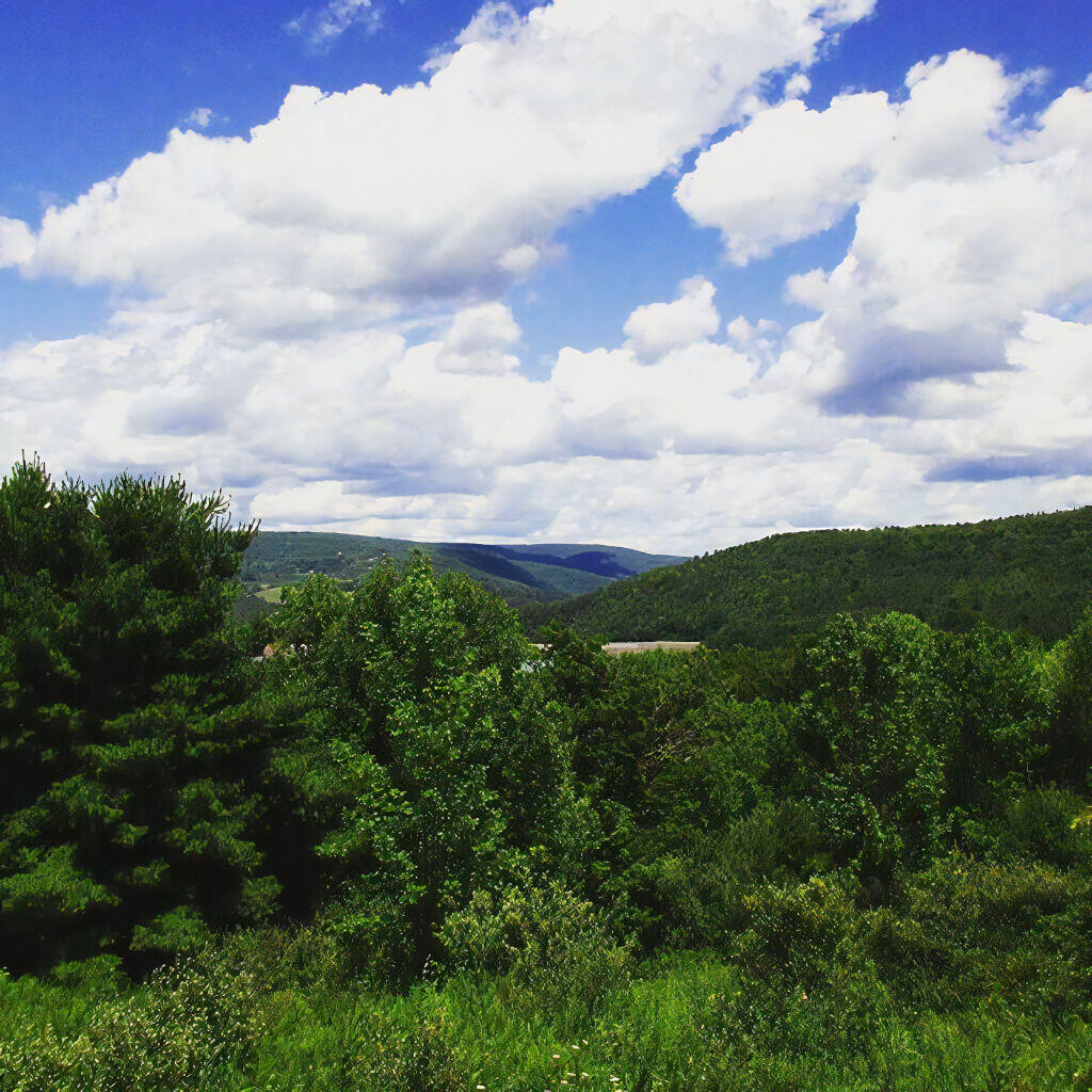
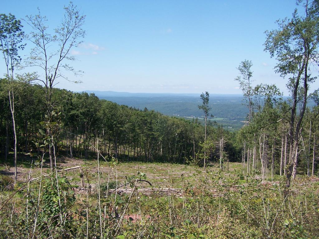
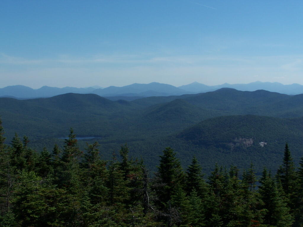
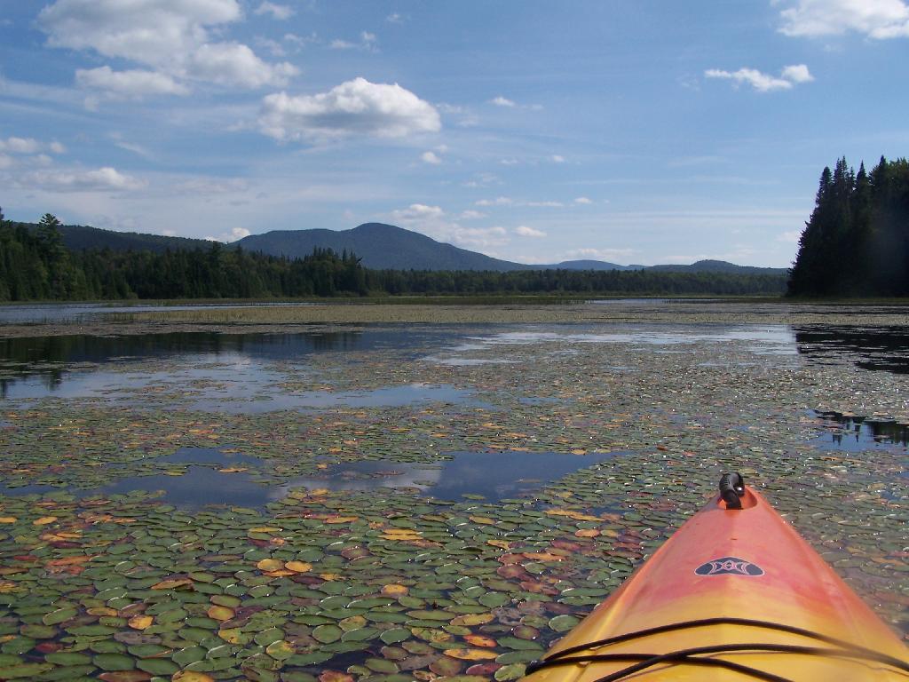
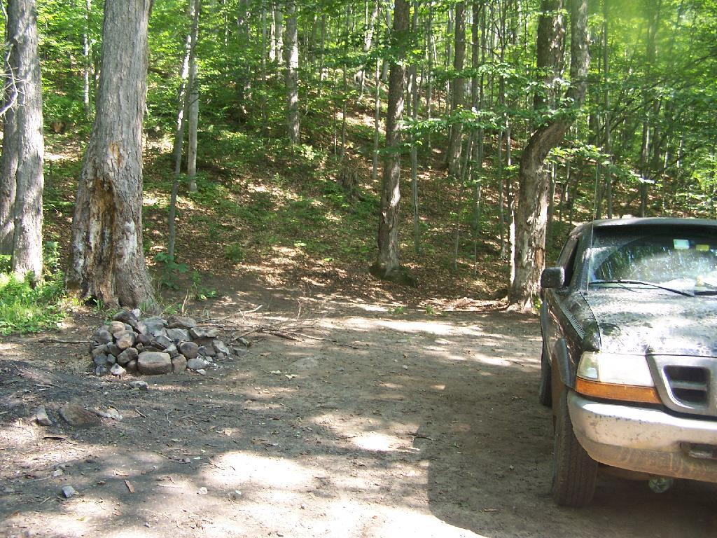
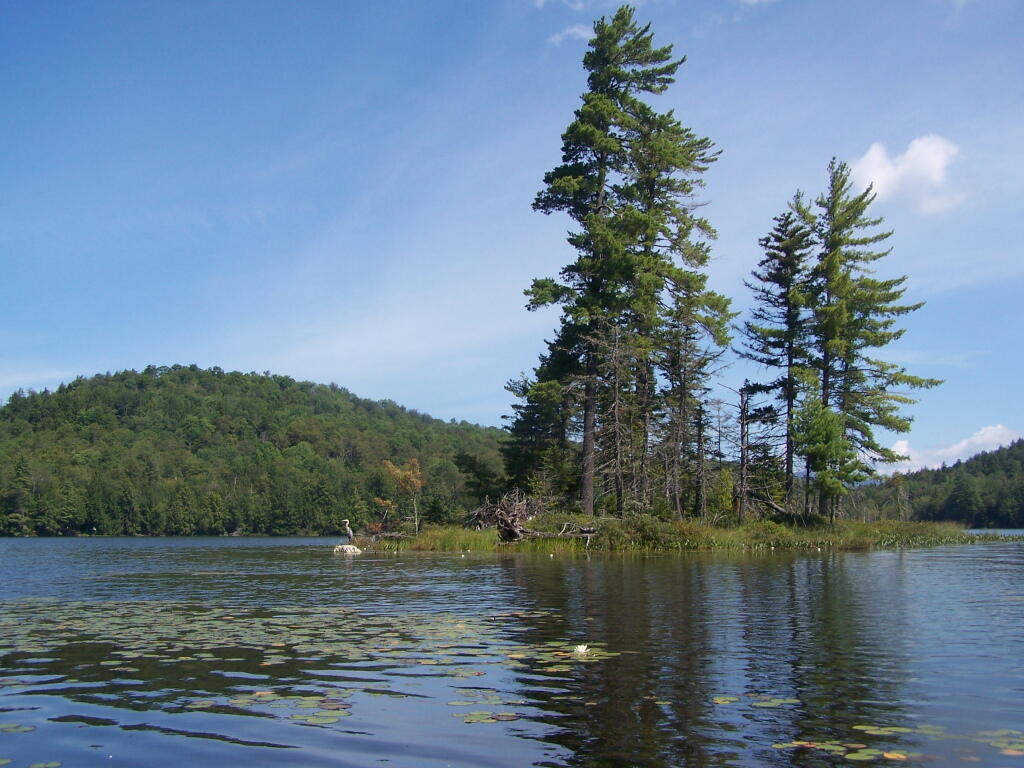
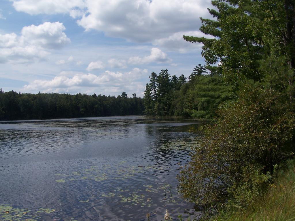
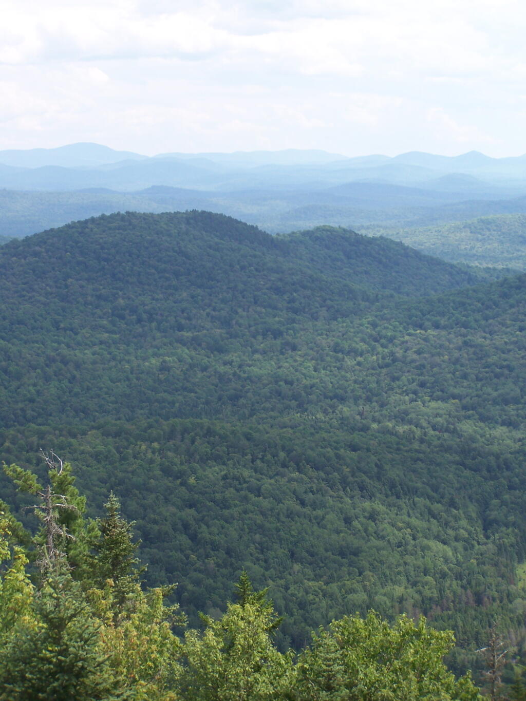
The Winona Recreation Area, aka the Winona and Jefferson State Forests has a series of informal campsites throughout it’s miles and truck trails, that are also used by ATVs and snowmobiles based on the time of the year. Known for the large amount of snow the area gets, it’s one of the most vast state parcels in the Tug Hill Plateau.

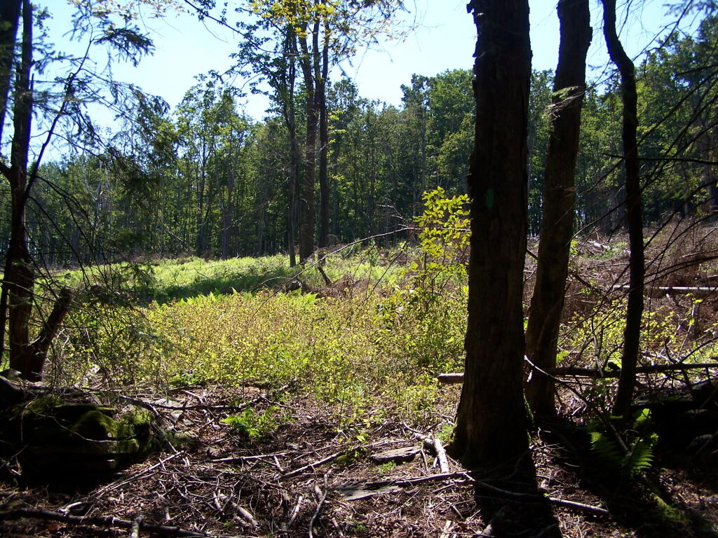
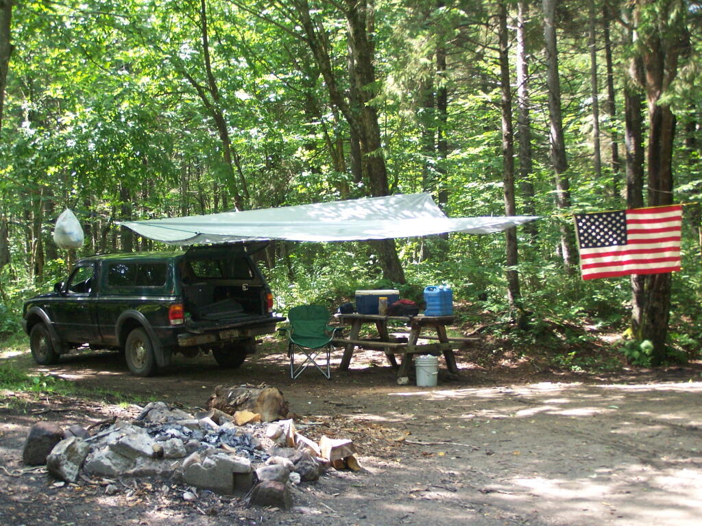
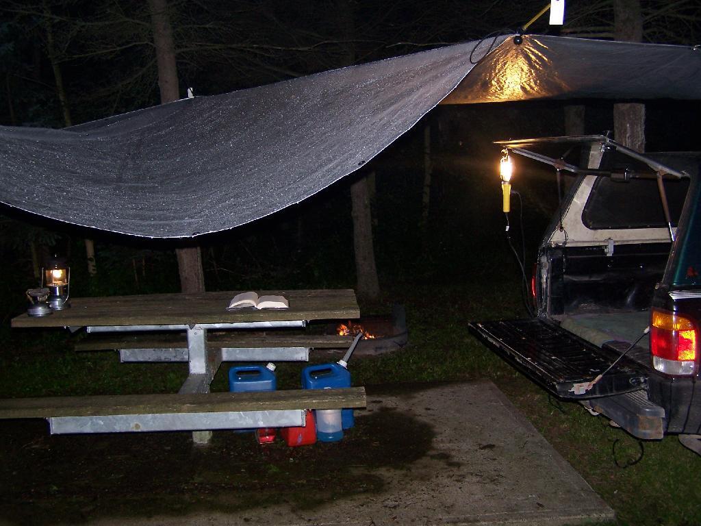
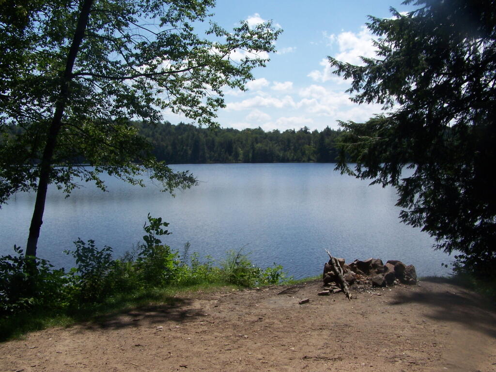
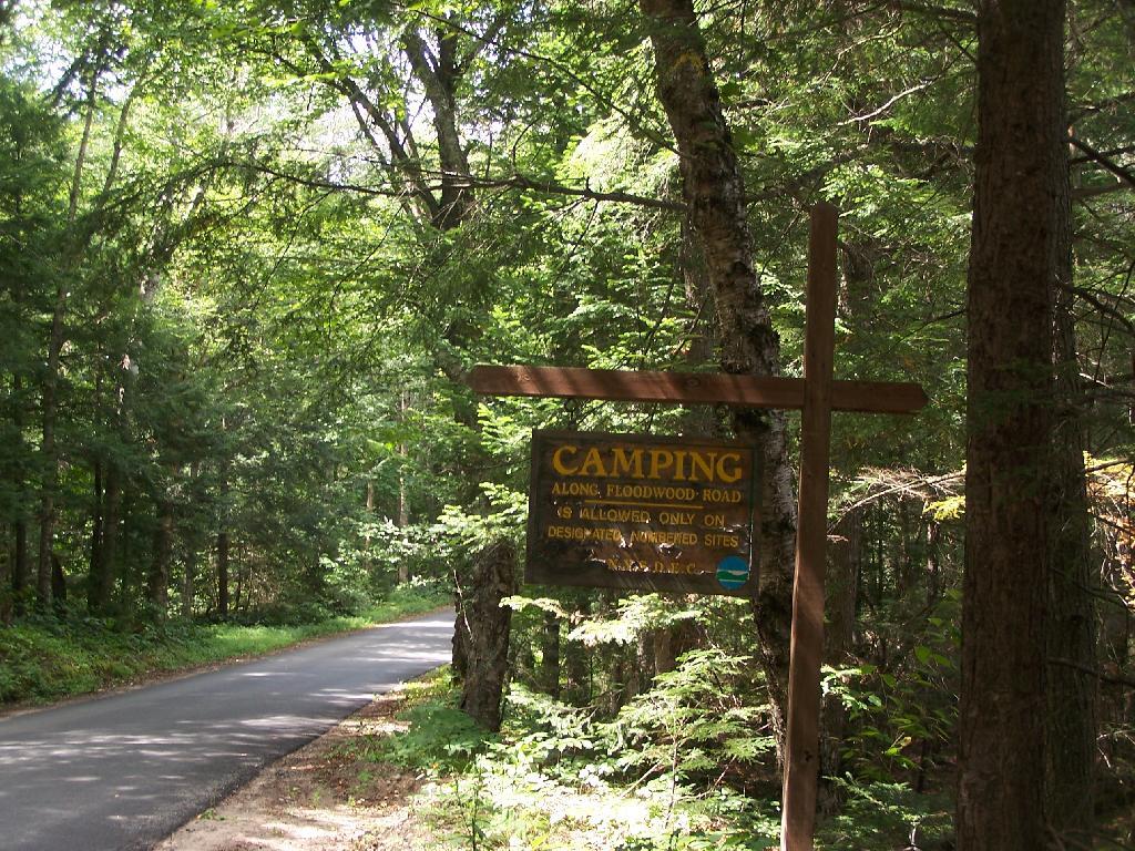
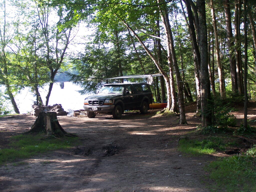
In the past I’ve camped on an undesignated site with a firepit on Bargby Road. There are other sites around, but I don’t know the area that well, and the sites ar not listed online. You might consider contacting the local Forest Ranger about getting a permit and some other ideas.

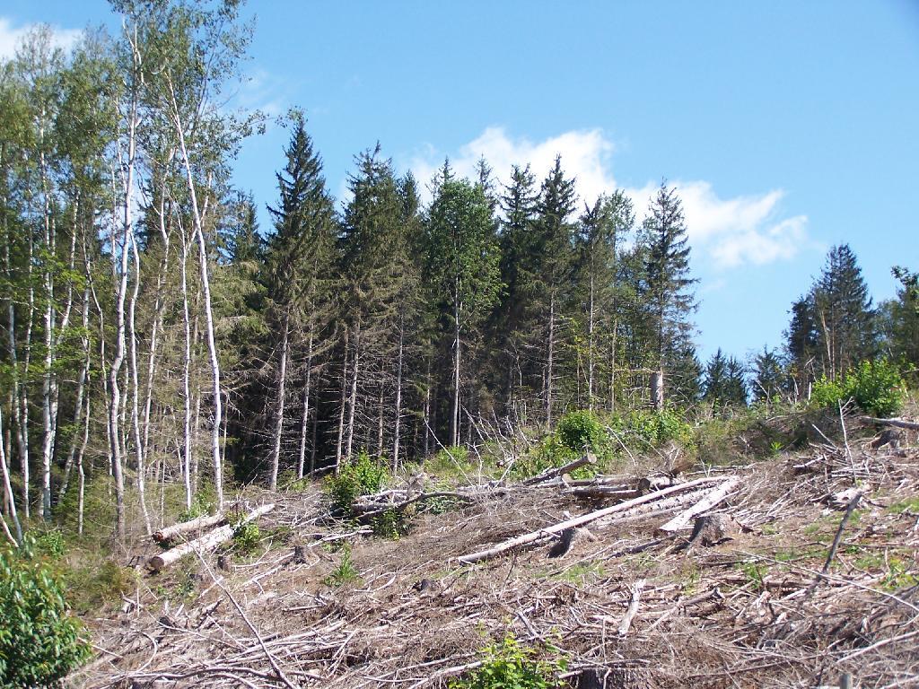
Be careful driving around here, as many of the truck trails are very rough and muddy, and you will be sharing them with ATVs in the summer season. They are real fun if you want to get some mud on your pickup truck. It’s by far one of the best places to find rough and muddy state truck trails in NY State, and tons of snow in the winter. I camped there in April 2004 (no snow), but it was cold. β€” Andy

“Over the past years, many different groups have enjoyed the use of these trails, but this has made for some difficulty in how to designate which trails would be used and for what purpose. The Western Edge Recreational Association was developed around 1995 to bring together all the users: skiers, snowmobilers, dog sledders, horse owners, hunters, bikers, and orienteering people.”

“With the melding of ideas, resources and manpower, Winona State Forest has become one of New York State’s best venues for recreation, and at the same time, provides valuable timber resources.”

“In 2005, DEC began developing a unit management plan (UMP) for Winona State Forest. A UMP must be completed before significant new recreational facilities, such as trails, camping sites, and parking areas can be constructed. The plans involve an extensive analysis of the natural features of an area and the ability of the land to accommodate public use. The DEC has primary responsibility for developing management plans for the State-owned lands. Draft plans are widely distributed for public comment and review prior to being finalized by DEC.”

β€” NYSDEC Winona State Forest.

“The Winona Forest Recreation Association (WFRA) maintains approximately 70 miles of trails in the Winona Forest and Jefferson County Forest Preserve. Both are located in the Tug Hill region of New York State. WFRA, which began as the Tug Hill Ski Club, has reorganized as the Winona Forest Recreation Association in order to include all user groups of the forest. WFRA membership consists of skiers, snowmobilers, atv riders, equestrians, mushers,snowshoers, bikers, hikers and many other outdoor sports enthusiasts. We’re not just an ordinary club!

“Winona Forest is one of the snowiest places east of the Rockies with an average snow fall of 250 inches per year! In winter, the prevailing westerly winds move cold winter air over the warm water of Lake Ontario producing massive lake effect snow falls on the Winona Forest in the Tug Hill area.”

β€” Winona Forest Recreation Association.

Barby Road 2
Tucker Road 1

Summer afternoon

Jessup River Wild Forest

Jessup River Wild Forest is a parcel of lands surrounding the International Paper’s Perkins Clearing Timberlands and Speculator Tree Farm. There are about a dozen informal campsites along Mason Pond on Perkins Clearing Road that are popular, with about 6 of them with direct road access for a small vehicle like a pop-up trailer or a pickup truck with a cap. Only a few of the sites are clearly designated as such, but they all are very well used.

Cleaning Up Site

Significant noise pollution from NY 30 can be heard at some of the sites. There are no outhouses, although there are five gallon buckets people use for toilets. Besides the sites on Perkins Clearing Road in Jessup River Wild Forest, there are also eight designated road-side sites in International Paper Timberlands known as Perkins Clearing, just south of Jessup River Wild Forest.

Marsh and Pillsbury Mountain

The following changes are proposed in the Jessup River Wild Forest Unit Managemen Plan.

“Close Undesignated Campsites and /or Restrict Type of Camping. This alternative would propose the removal of user created primitive tent sites within 150 of water or road for environmental or social reasons. Camping structures would be restricted by regulation to “tents, tarps and lean-to’s as required by the APSLMP, thereby eliminating use of travel trailers, “pop-up” style campers, tent trailers, or structures of similar fashion. This option would eliminate opportunities for individuals seeking an easily accessible camping site close to a lake or road. Current regulations allow for camping anywhere in the JRWF as long as the 150 foot set back requirement is met. People would probably still park by the road and camp further in without any controls. This alternative would also restrict opportunities for mobility impaired individuals to access the lake and/or camp on JRWF lands. Therefore, this alternative will not be supported by this UMP.”

“The preferred alternative is to designate sites taking into consideration day use of the area, appropriate existing sites, APSLMP spacing guidelines, and terrain constraints. Because of their anticipated popularity, permits to stay for more than three nights will not be issued for sites in heavy demand during the core camping season. The camping areas at the northwest end of the lake will be closed due to conflicts with day users and environmental constraints. Other sites that are unsuitable or too close to the water will be closed and revegetated.”

“The closure of fourteen sites along with official designation of 10 suitable sites will reduce the amount of camping the area is currently experiencing. When all sites have been occupied, users will be directed to camp elsewhere. The opening of the adjacent IP lands to camping under the conservation easement will accommodate overflow camping. Use levels and site impacts will be closely monitored on the designated sites. If LAC standards are exceeded, the individual site will be closed and/or rehabilitated.”

β€” NYSDEC Jessup River Wild Forest UMP.

Confirmed Roadside Campsites.

Road Number of Campsites
Perkins Clearing Road
at Mason Lake
6 drive-in sites
4 tent sites

Maps.

Jessup River Road

Map of Jessup River Wild Forest. Inset is Perkins Clearing and Speculator Tree Farm Easements. Campsites do not appear on these maps, but they give a general overview of the area.

 Some Ice On The Hudson

Map of Perkins Clearing and Speculator Tree Farm. There are 10 campsites designated on these parcels, drive around to find them. Campsites do not appear on this map.

More Resources…

Campsite with a View

Another Island on Mason Lake

Saranac Lakes Wild Forest

Camping Only At Designated Sites

There are 16 designated campsites along Floodwood Road. Of those sites, one is located on Middle Pond, five densely spaced on Poliwog Pond, 10 others spread out along the road, approximently 1/4 mile apart. There has been discussion of closing and/or relocating some of the five designated campsites on Poliwog Pond. They literally are spaced within 10 feet of each other, with no buffers. The other sites are nicer along Floodwood Road. Note that there is an aggressive enforcement presence on Floodwood Road, so if you are going here just to hang out, be aware State Forest Rangers may be checking for compliance with law (camping in designated locations only, staying less then 3 nights without a permit, not being too noisey or disruptive).

The SUNY ESF/APA Roadside Camping in Adirondack Park Study also mentions 3 campsites on Hoel Pond Road which is just off Floodwood Road, and 9 campsites on Fish Hachery Road, just off of NY 30. The Unit Management Plan is not online, and they do not appear on State Land Interactive Mapper, so I can not confirm the current existence of these sites, so they are not included in the list.

Sarnac Lakes Wild Forest Map.

Please be aware that this map does not indicate campsite locations.

Confirmed Roadside Campsites.

Road Number of Campsites
Floodwood Road 16

More Resources…

Campsite on Polliwog Pond

Middle Pond

Vanderwhacker Mountain Wild Forest

The Vanderwhacker Mountain Wild Forest Unit Management Plan mentions the following about Roadside Camping in the area…

“The area has a diverse mix of camping options available to visitors. There are designated interior camping facilities at Stony Pond, Cheney Pond, 29th Pond, and Newcomb Lake. There are also many Vanderwhacker Mountain Wild Forest roadside locations used seasonally by hunters and during the summer by others along the Northwoods Club Road, the Moose Pond Road, State Route 28N and at other locations. There is generally an increasing in camping in VMWF during the regular big game season.”

— NYSDEC Vanderwhacker Mountain Wild Forest UMP.

Current Campsites Map.

Vanderwhacker Wild Forest

Roadside Campsites Designated in UMP.

Road Number of Campsites
Boreas Road 1
Moose Pond Road 3
North Woods Road 3
NY 28N at Boreas River 1

More Resources…