Mallet Pond State Forest is a smaller state forest (2,584 acres) across the valley from the Burnt-Rossman Hills. While smaller, it is still rugged and remote, with rough dirt roads, two ponds, camping sites, and public lands to explore. Many of the roads around it are poorly marked and heavily posted, however if you follow the below map, and drive up to Summit on NY 10, and take Sawyer Hollow Road to Rossman Fly Road, it’s not as bad to locate.
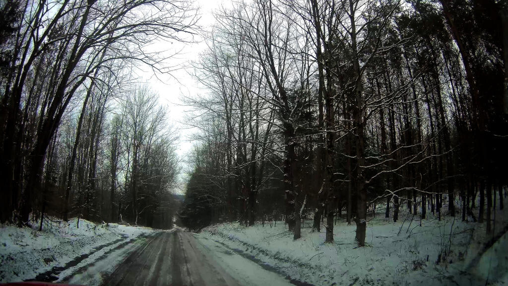
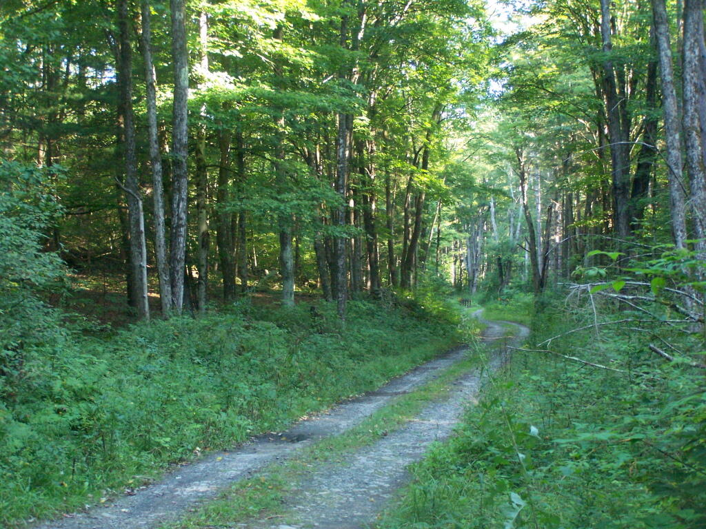
Rossman Fly Road. This is from the intersection, as it head down into the valley where Rossman Pond and Mallet Pond are located.
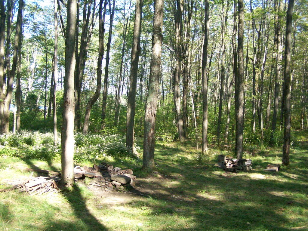
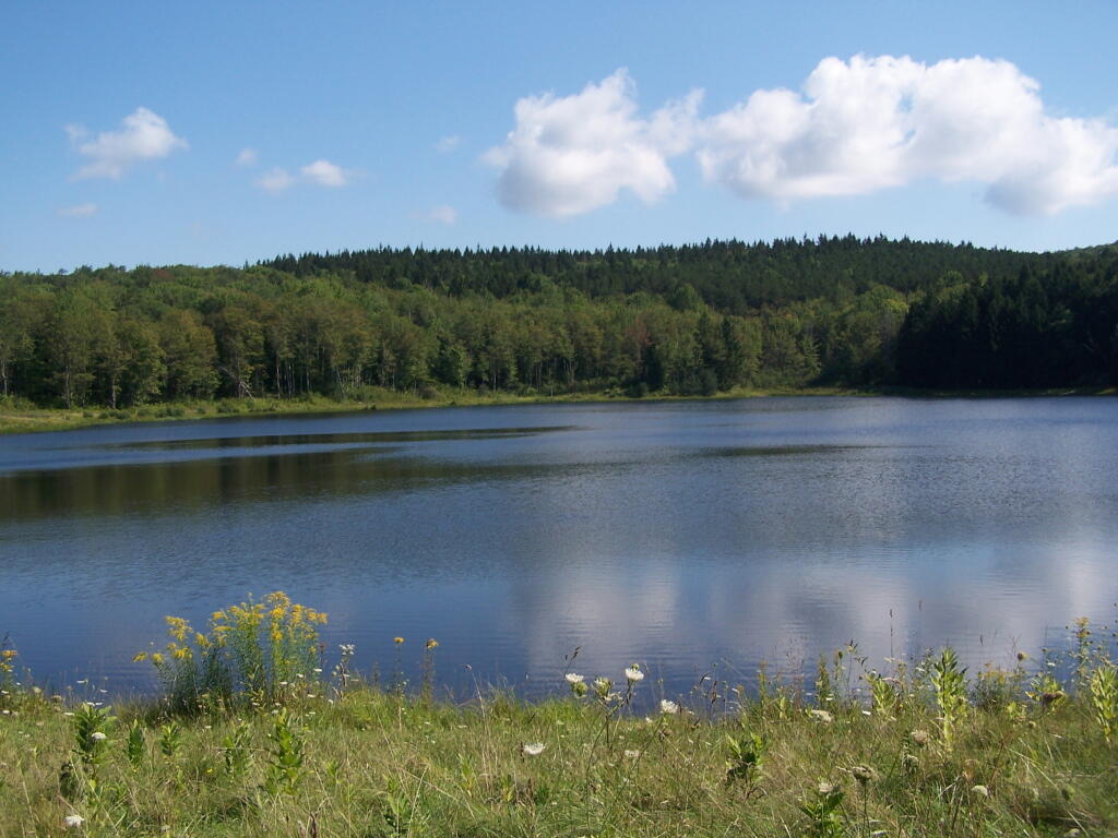
Rossman Pond. There are a series of hunting campings and private houses located along the other shore. The state only owns about 1000 feet of frontage along the lake, basically enough for a campsite and a parking area.
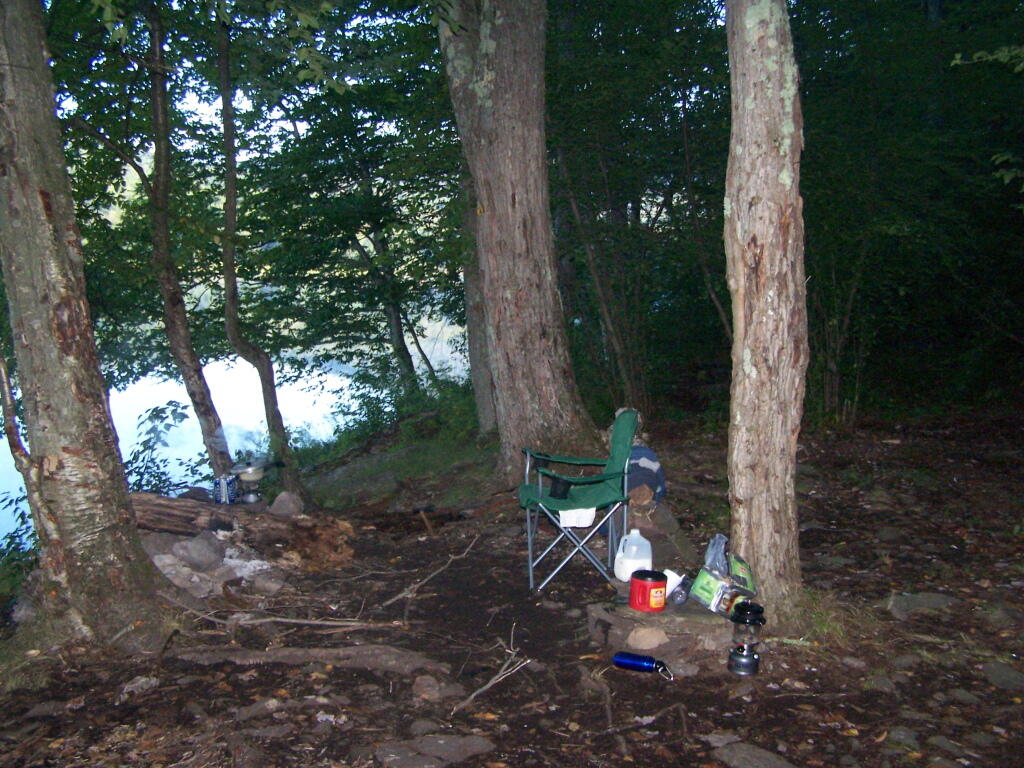
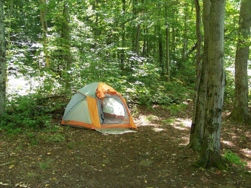
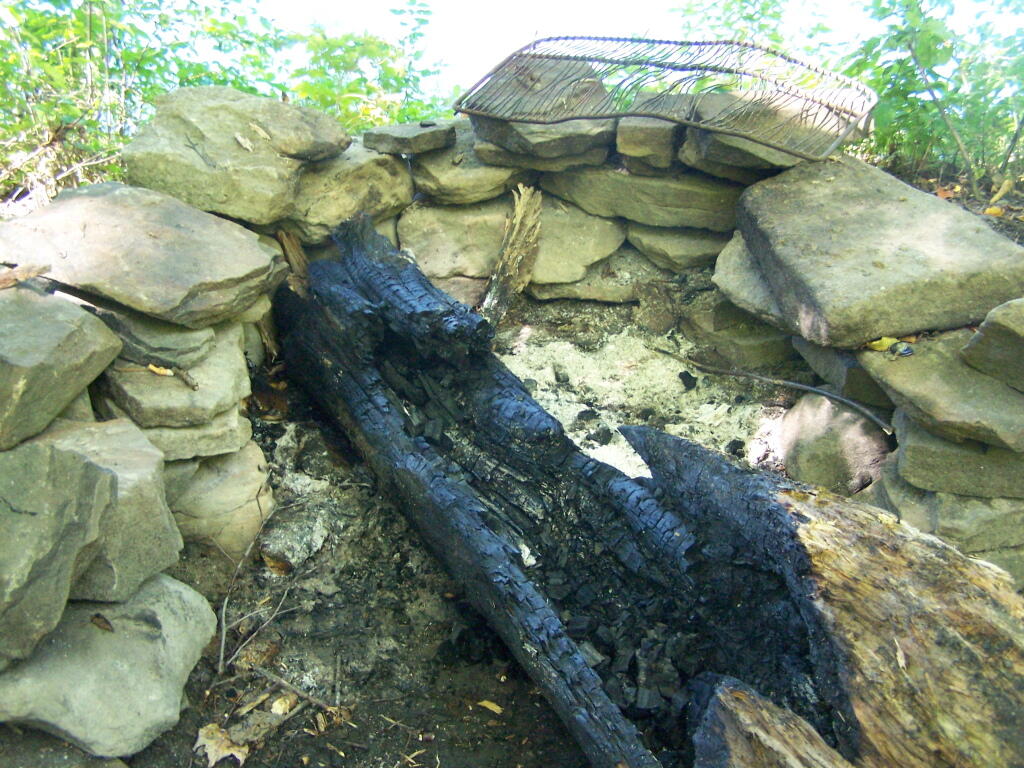
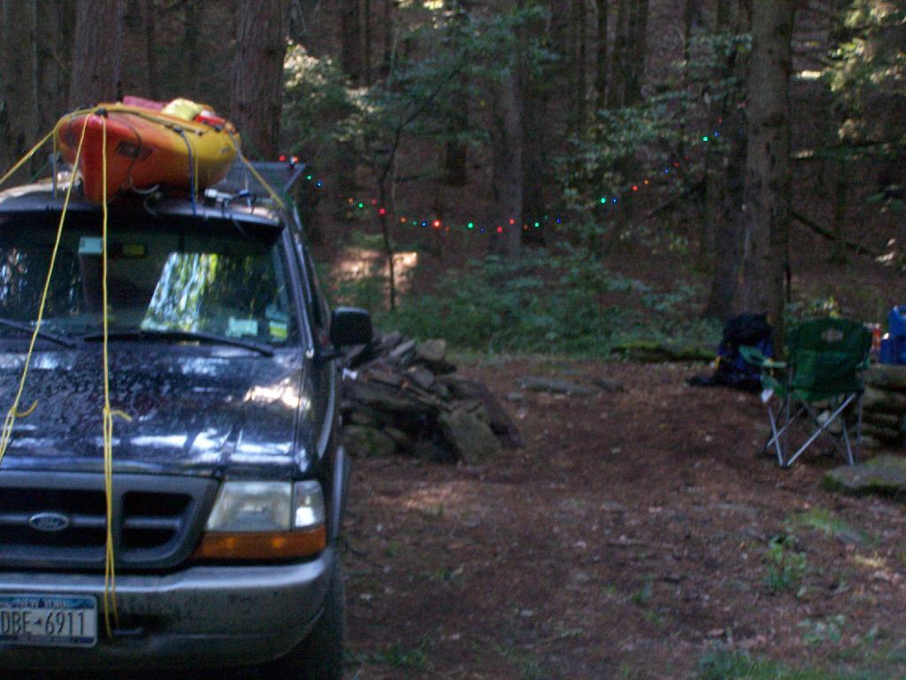
Campsite at Rossman Pond. This is one of the many informal campsites in the area. None of them have designated markers, and don’t comply with state set backs, but as witnessed by the wear and tear on the grass, and mention in the Unit Management Plan, they are well used and recognized as such.
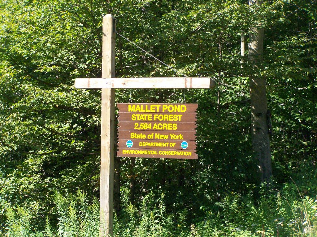
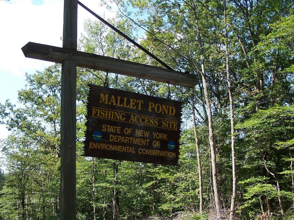
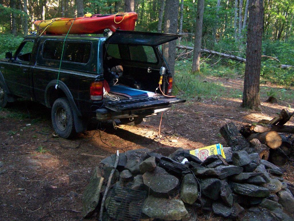
I drove down to Mallet Pond Parking Area. Unlike Rossman Pond, Mallet Pond actually has a sign showing where it is. There are no other signs for Mallet Pond from here on down, but the road is easy to follow to the pond.
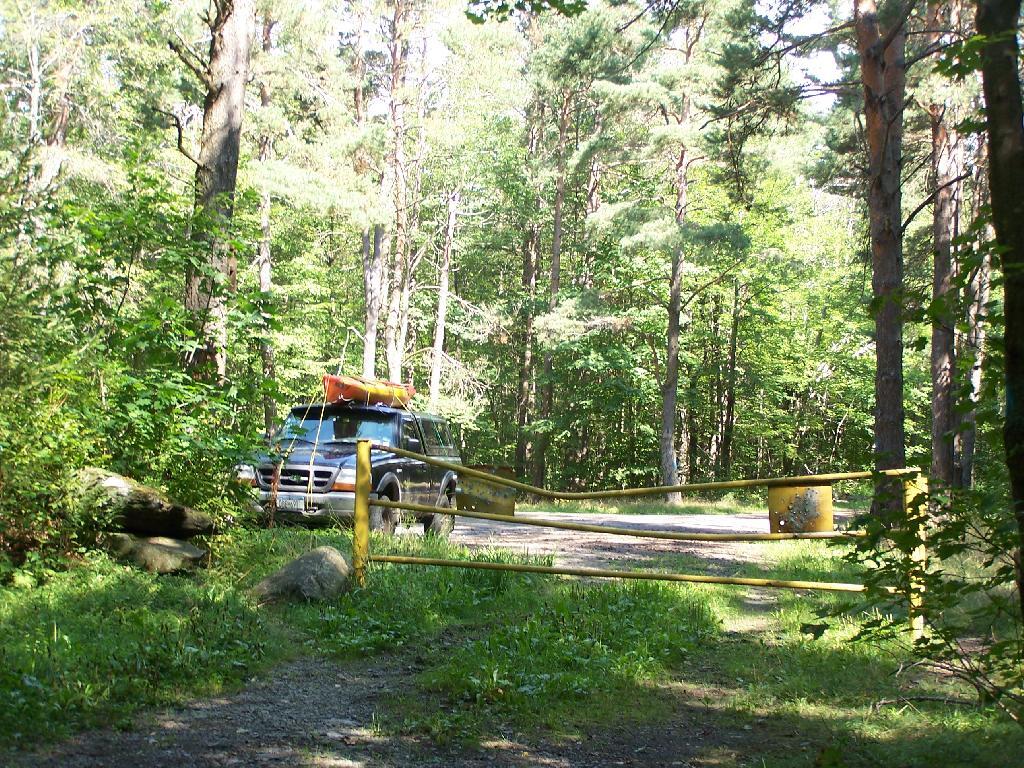
Gate at Mallet Pond. There is a gate 1/2 mile from Mallet Pond. Normally I don’t like gates and keeping the public from driving down to their lands, but Mallet Pond is kind of nice being so remote for camping, fishing, or wild life observation. Rossman Pond, which you can drive right up to, has no such gate.
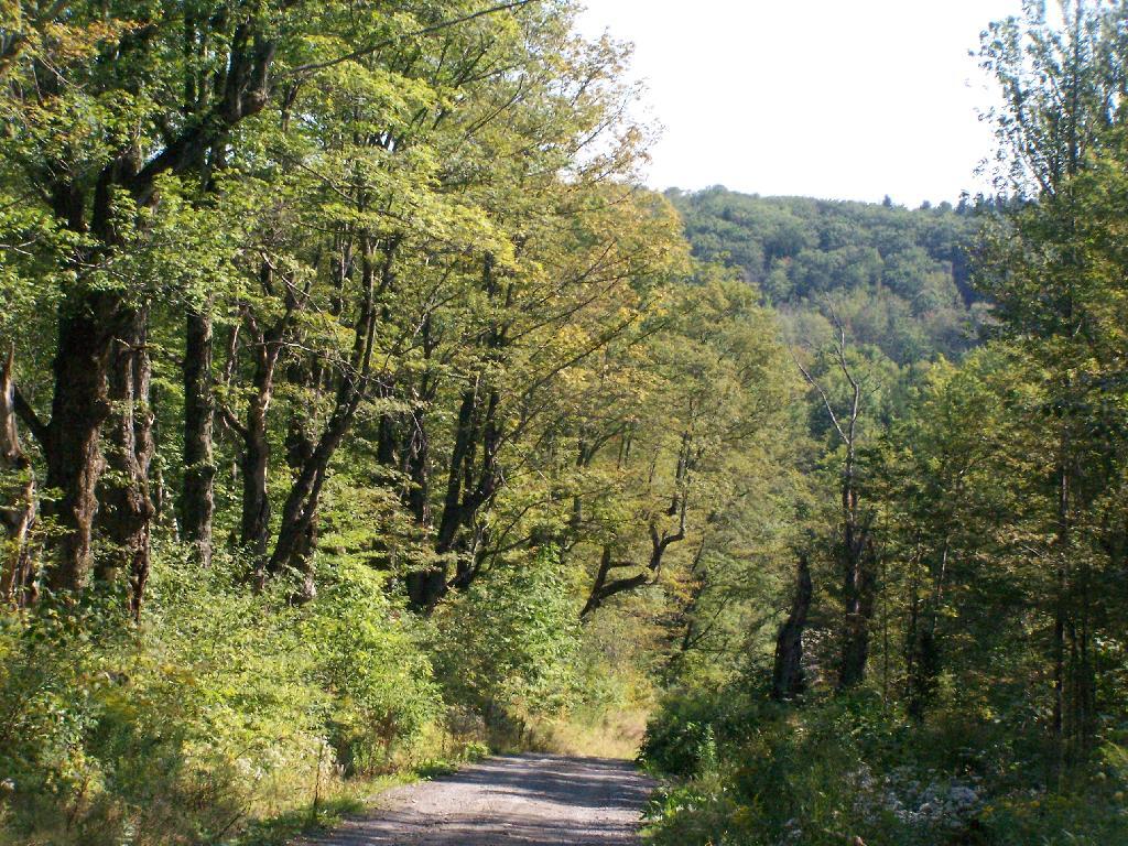
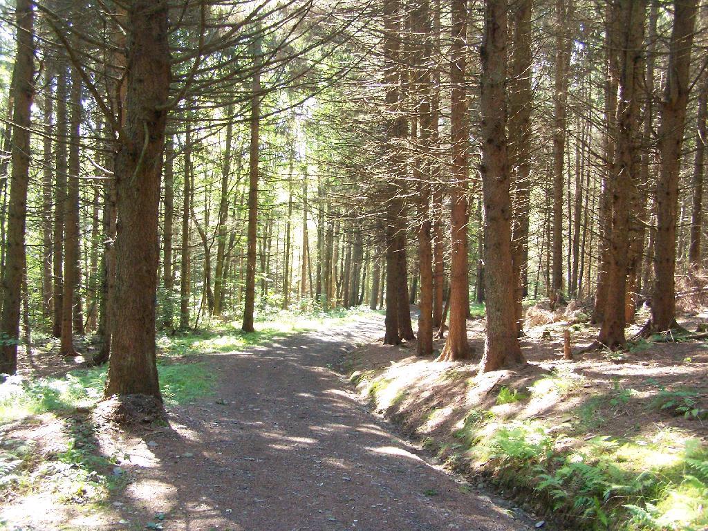
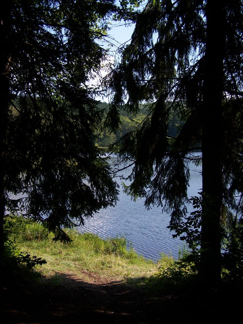
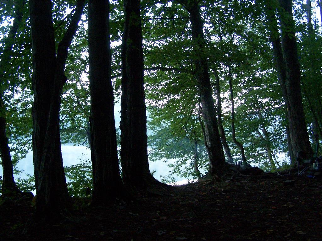
Path Down to Mallet Pond. It’s handicap accessible and if their wasn’t the gate, you could drive all the way down to the pond.
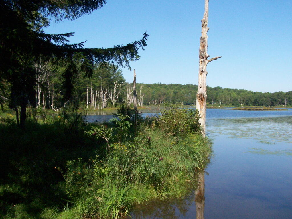
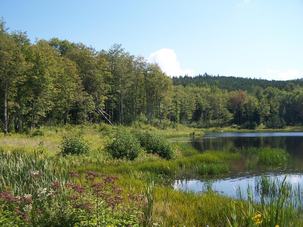
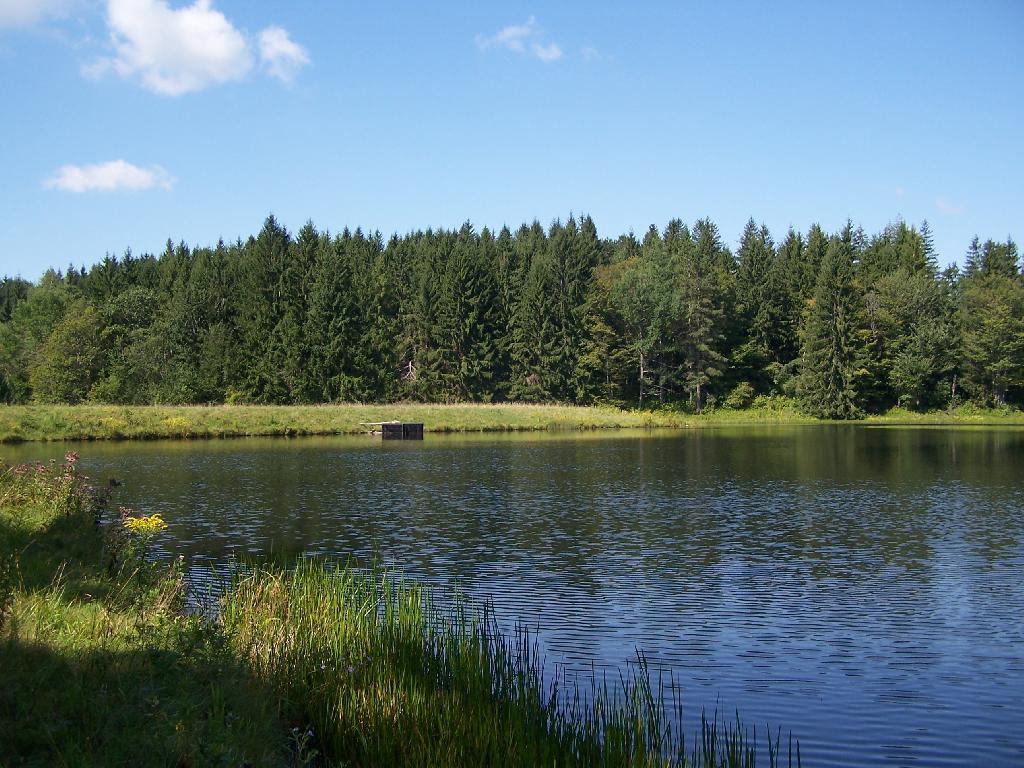
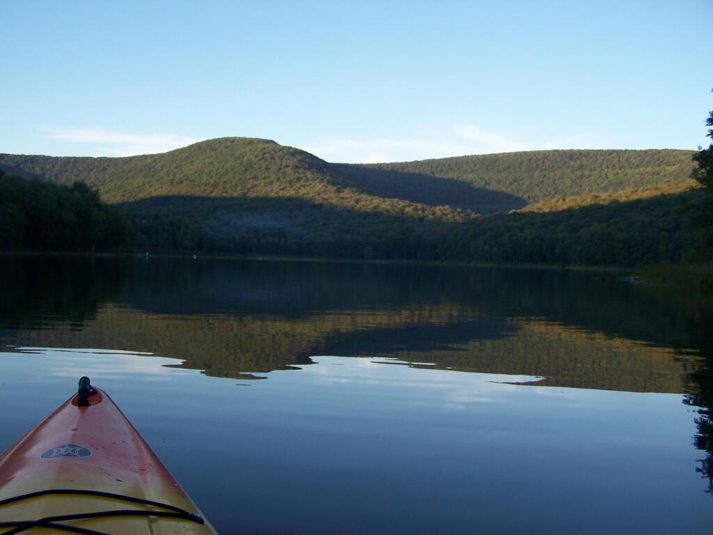
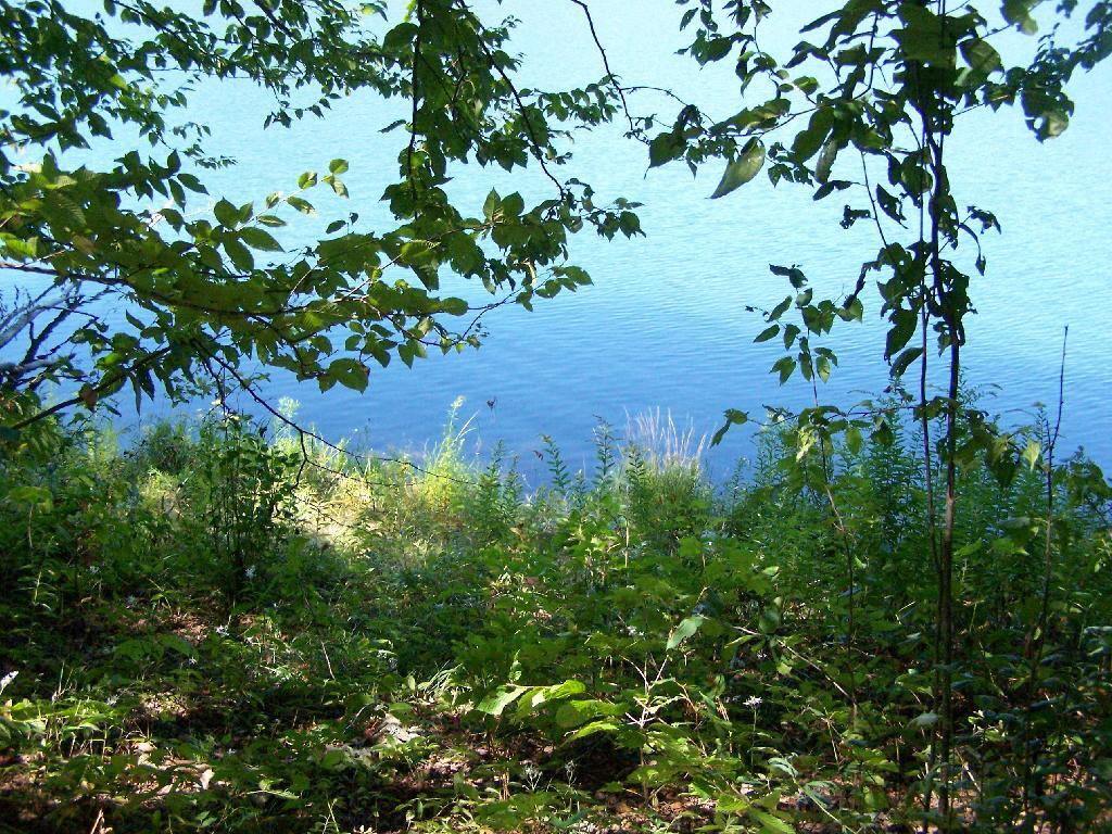
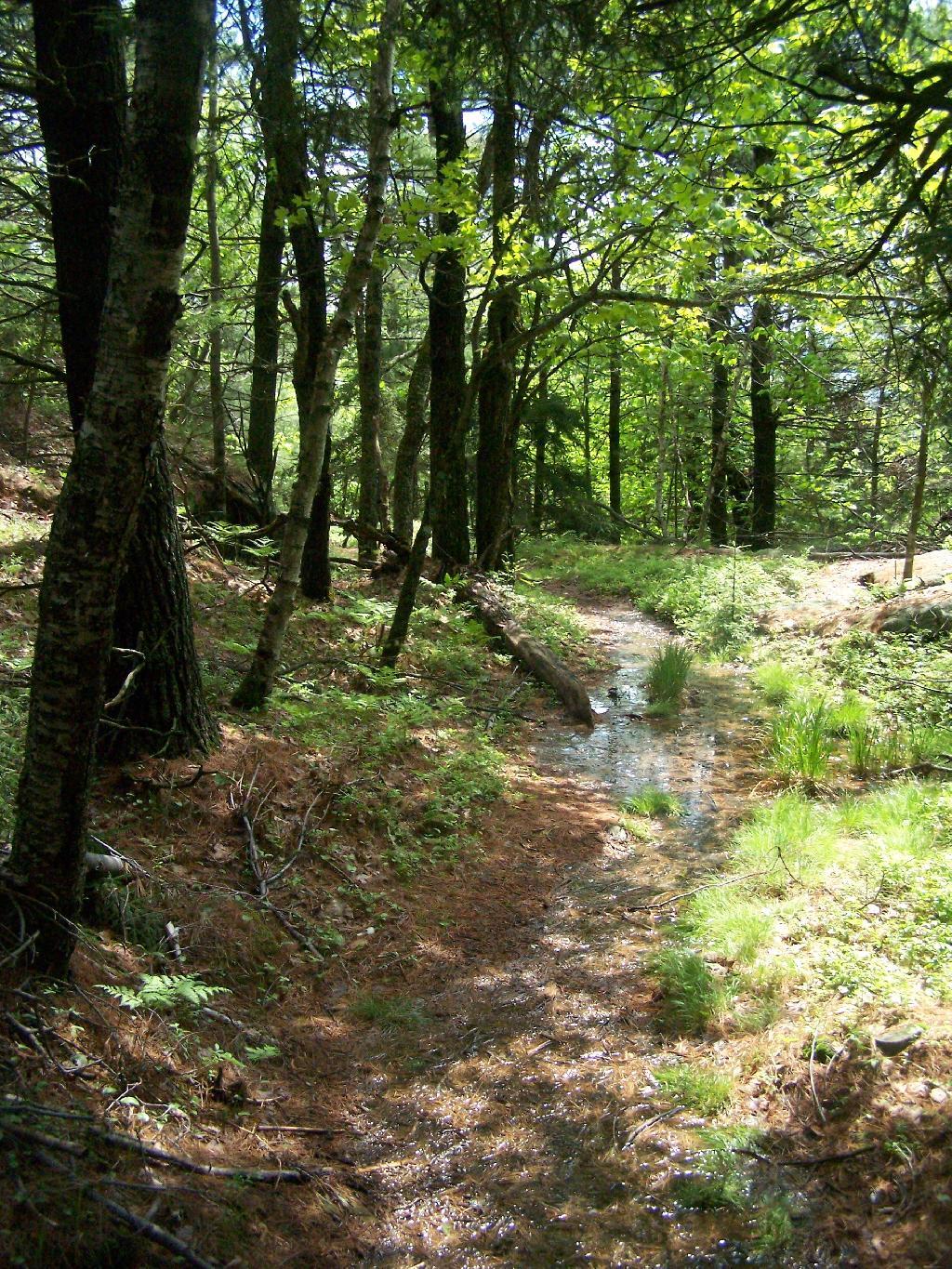
Mallet Pond. It certainly is a beautiful little pristine pond, a ways off the beaten track.
Campsite. For being the “party” lake for SUNY Cobelskill students, it was remarkably clean and well upkept. Maybe those farm kids actually take care of the land. Actually, most of the lands around here are well upkept, in part thanks to Ranger Tom Edmons too.
Pond from Campsite. It certainly was a pretty little campsite up on the bank.
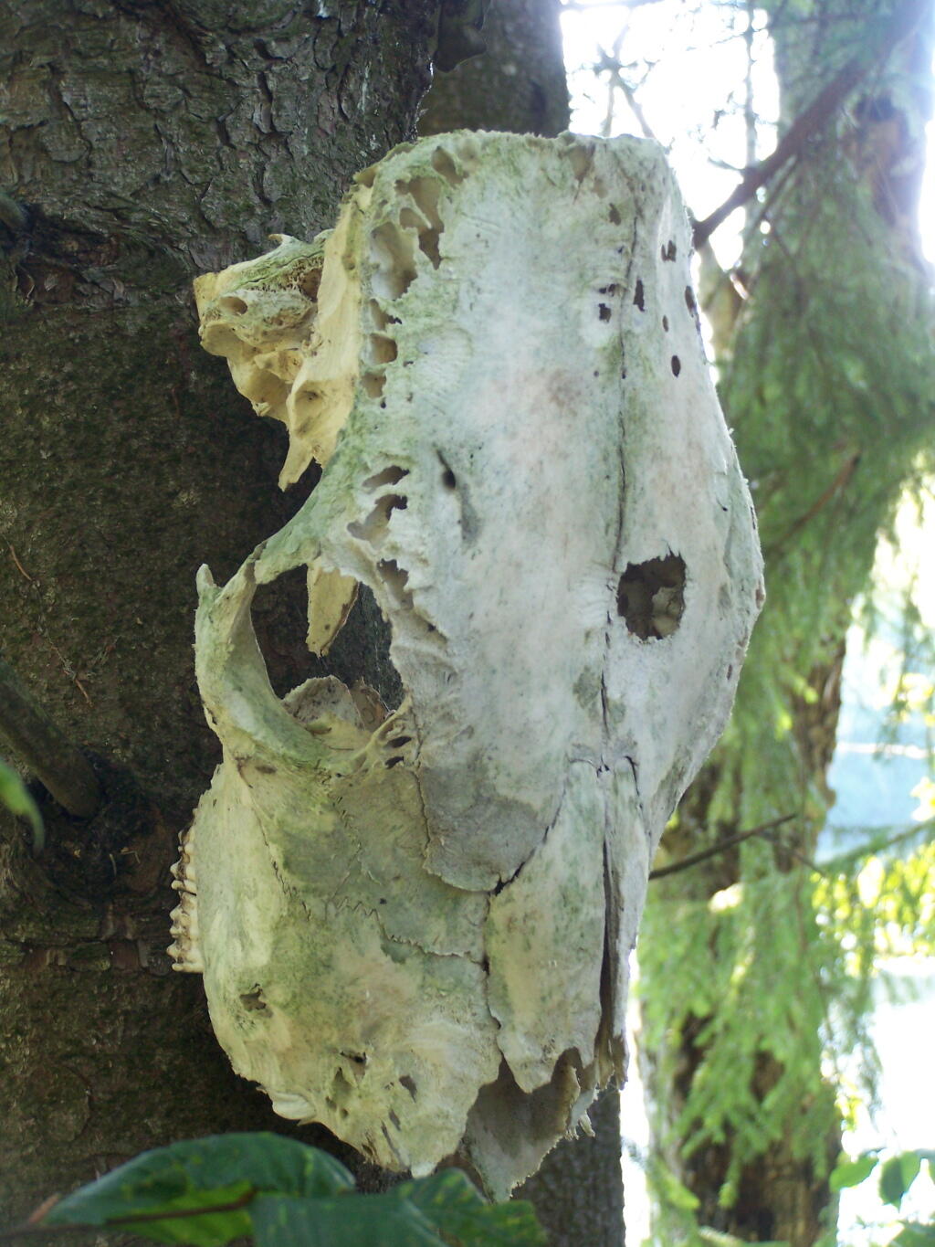
Cattle Skull. This cattle skull was hung up at the campsite on a tree. Cool! It appears to be from a dehorned cow, and the lower jaw is missing. I’m guessing it was brought on up by a SUNY Cobelskill Ag Student.
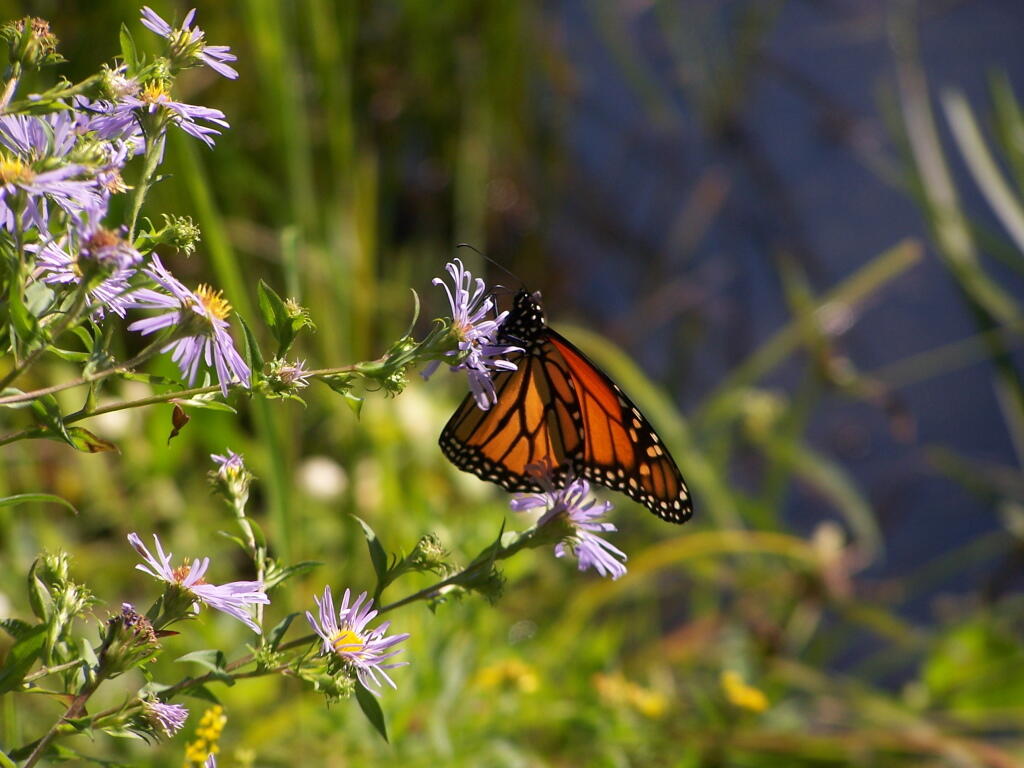
Butterfly. Pollinating a wildflower along Mallet Pond.
Mallet Pond. Standing up on the embankment of the dam.
Mallet Pond Dam. The earthen dam that makes up Mallet Pond is about 30 feet high. You wouldn’t know it unless you look at it from a top the dam.
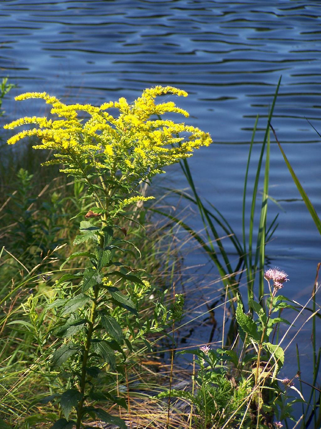
Goldrod. Walking along the eastern side of Mallet Pond.
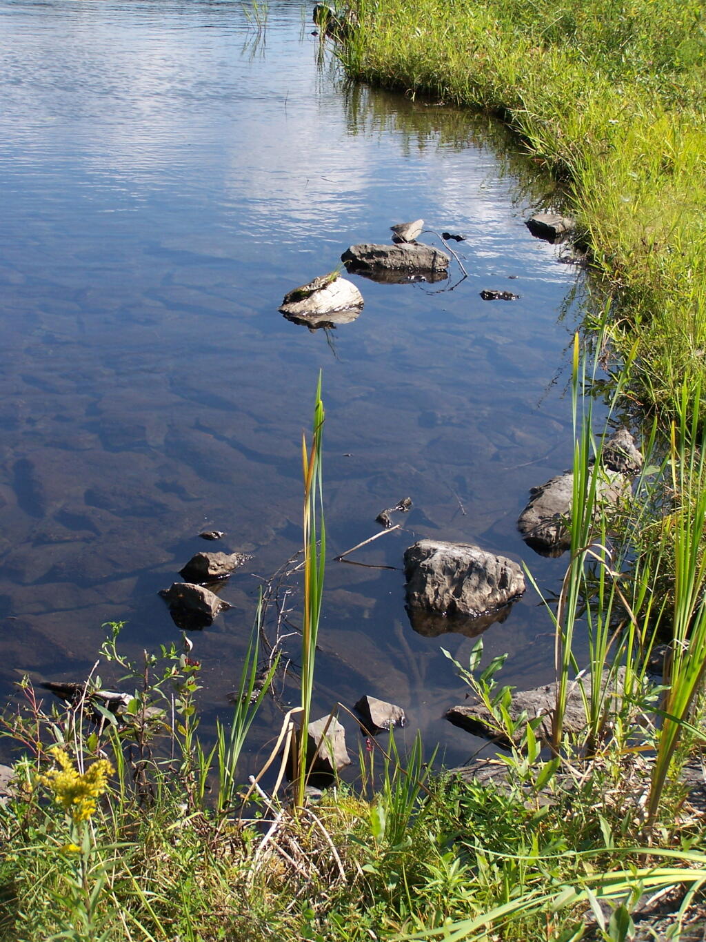
Edge of Mallet Pond’s embankment is made up these large flat shale rocks, and lined with them to discourage erosion over it’s massive earthern dam.
The upper pond is Rossman Pond, with the campsite right by the parking area. The lower pond is Mallet Pond, which you have to hike down to. Both ponds have undesignated but popular campsites.
Big Pond is one of the two larger ponds in the Catskills accessible to the public. Located in the Western Catskills, near Alder Pond, it has eight paddle in or hike in tent sites, and some pretty views. I spent the night camping up there on August 27.
Night is Creeping Up on Me. I didn’t realize how quickly it got late at Big Pond, and I had even started dinner. To make matters worst, my white-gas lantern wouldn’t start, so I had to do everything by flash light.
Dark Night Before the Moonrose. All you can see is by the light of the campfire. I didn’t have a lantern, because it refused to start.
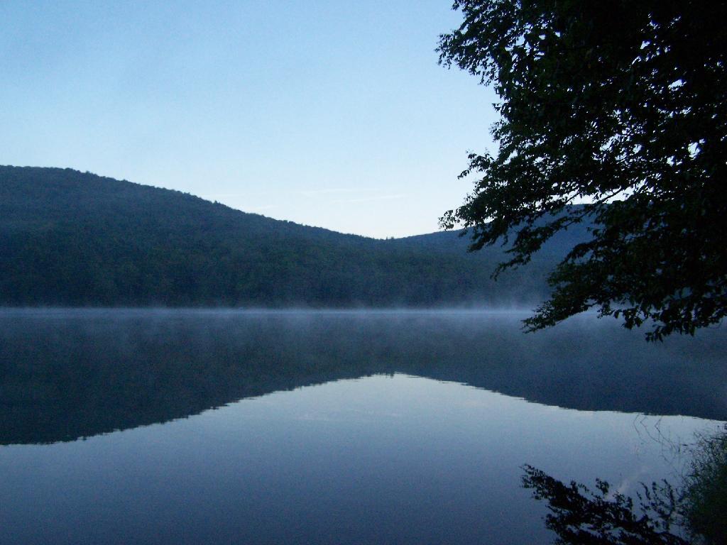
Waking Up at Big Pond. Looking out the window of tent prior to dawn, with a little smoke from the fire still smoldering, and lots of fog.
Pond Prior to Sunrise. The fog rises above the pond. It looks perfect for taking photos, so I decide to hop in the kayak, and go for a paddle.
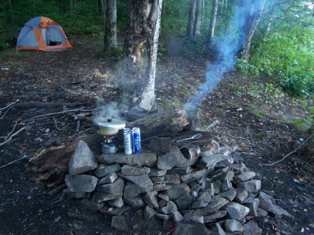
Campsite. Yes, the beer cans are empty, and I am using that pot to boil water for coffee, because I left the coffee pot in the truck. I doesn’t matter much because I use a coffee press to make the actual coffee.
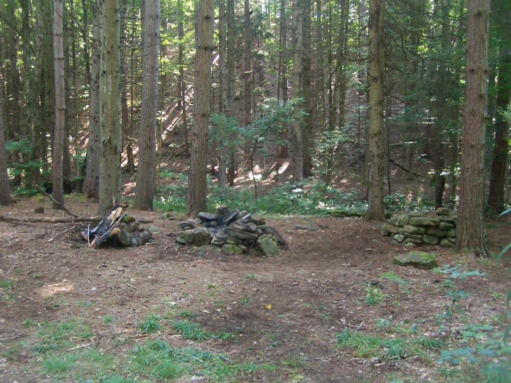
Firepit. This is while I’m making coffee and getting ready for the day.
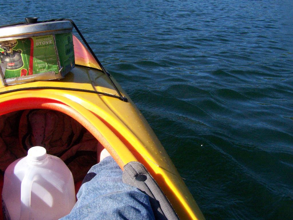
Paddling Gear Back. With all the camping gear in the kayak, or most of it, including the stove and pot top on the deck. The kayak rode well with all the gear.
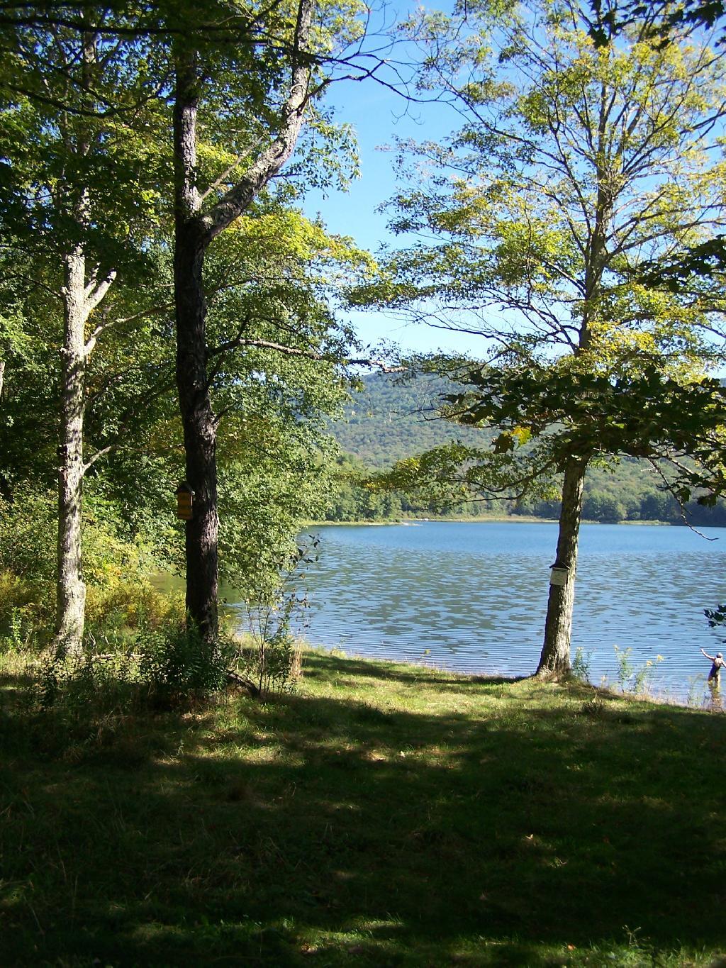
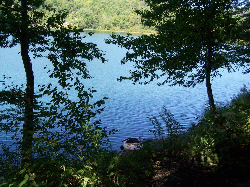
Big Pond from Parking Area. It certainly was quite pretty out there, and a great unguarded swimming beach that was packed with people.
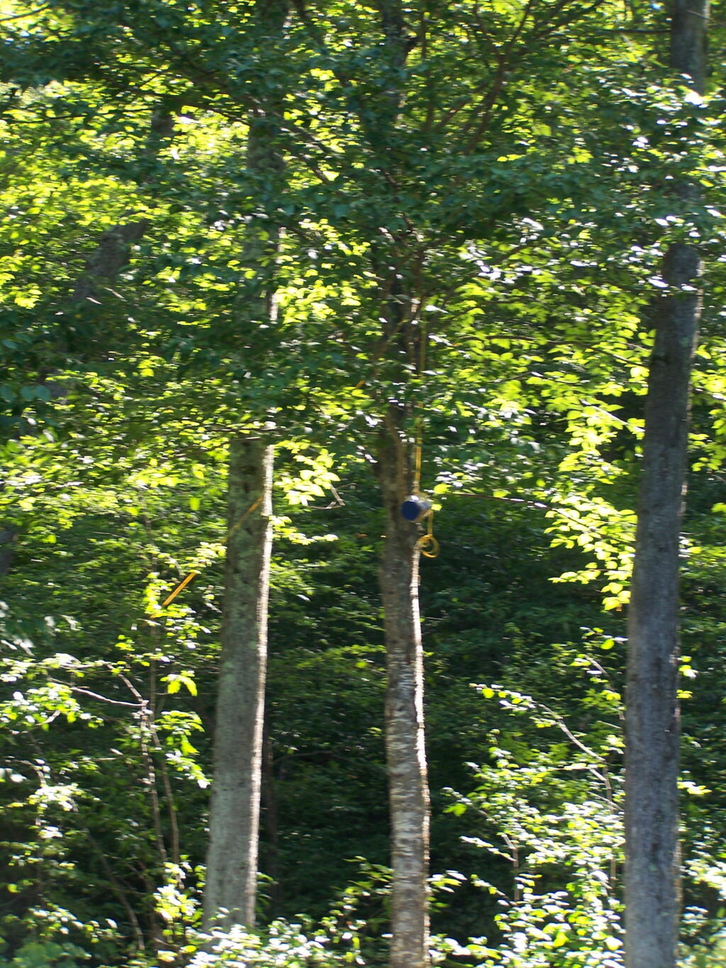
Bear Bag. Actually it was a peanut can, with cookies and other things. And despite the bear coming through, he left my site alone, and didn’t even try to get the bear bag that was about 12-13 feet off the ground, suspended from a limb, and 10 feet plus from the tree where it hung.
Tent. Yes, occasionally I will sleep in a tent. This actually is the second time I’ve slept in a tent this year. One other time I slept in a lean-to and the rest has been truck camping.
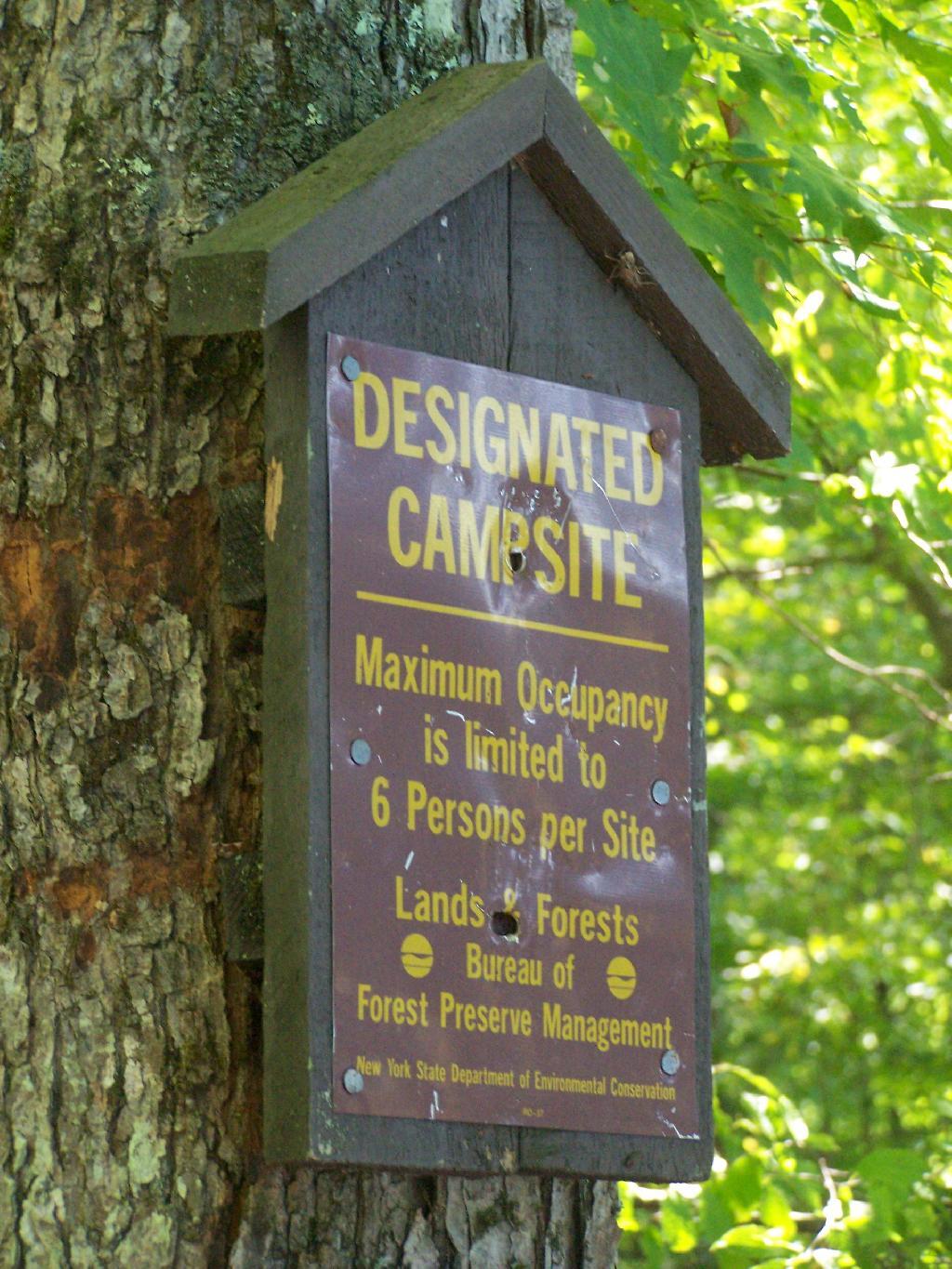
Designated Campsite. This is one of eight designated campsites around Big Pond. They are free to use, but are limited to 6 people, and you can only stay at one site for 3 nights without a permit.
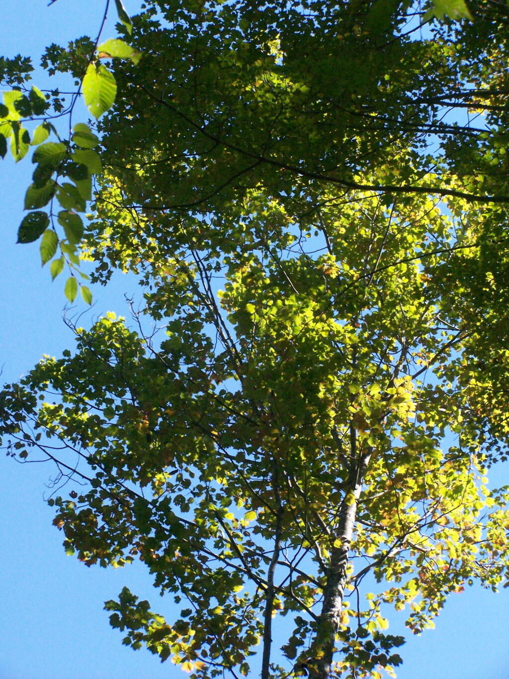
Looking Up at the Ash Trees. I was looking up at all the ash trees around the lake, and realizing that within 20-30 years they will all be gone. The maples will most likely replace them, but they also risk the Asian Longhorn Beetle.
Parked at Campsite. It was a pretty blue lake in the morning.
Finally Put That Smoldering Log Out. Remind me again, never to use a big punky old log like that in a campfire. It took a ton of water and rubbing the coals to get them to snuff out.
Blue and Green. I just liked this view from the campsite.
The Betty Brook Campsite remains one of my favorite in NY State, especially because it’s a quick hour drive from downtown Albany out there, over the Thruway and the Warren Andersen Expressway. It almost never disappoints, and it was a great night.
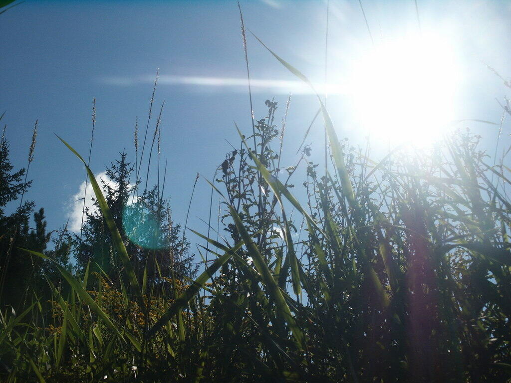
Morning Sun. The valley being so deep around Betty Brook the sun sets early, and rises late this time of year. Looking at the sun through the trees, a little after 9 AM.
Betty Brook Road. Just looking at this road brings me home, back to my favorite camping area.
The Campsite. And yes, I of course have my trademark Christmas lights that I always use for ambiance.
I headed from here, in my truck, up to explore the Mallet Pond State Forest-area just to the north. I probably will camp up at Rossman Pond the next time I am here, because the pond is so pretty and I can paddle around with my kayak there.
Here is a map of the Betty Brook Campsites. There is a larger one to the south, but I generally prefer the one to the north, as its smaller and the firepit and stone table is much nicer.
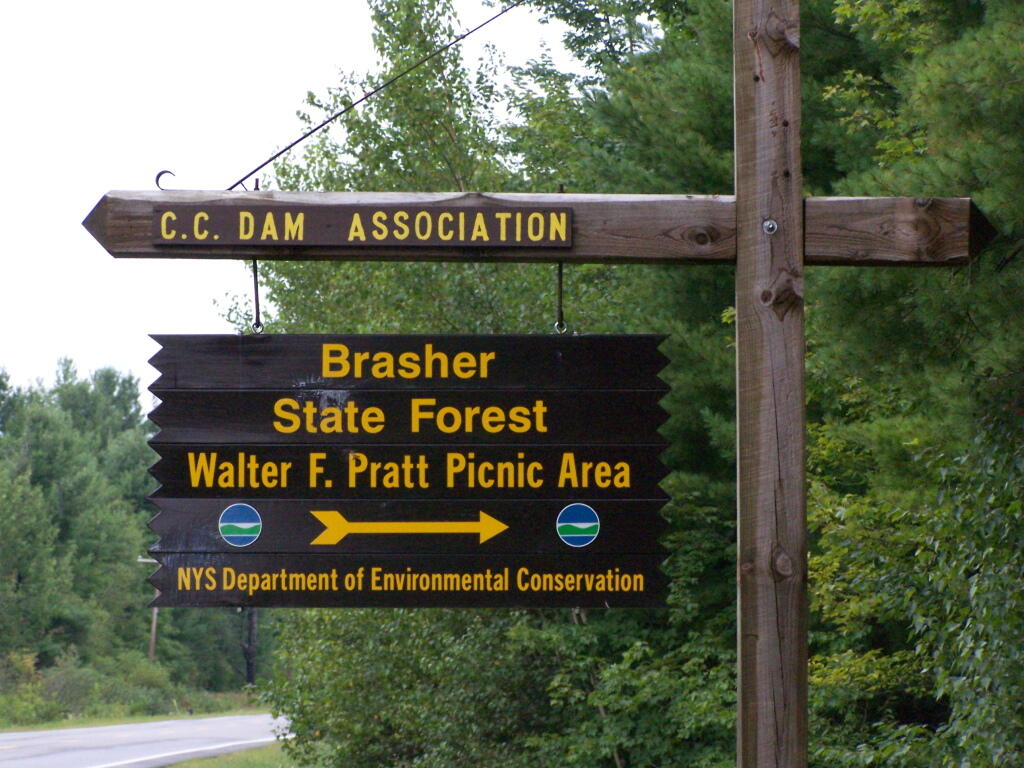
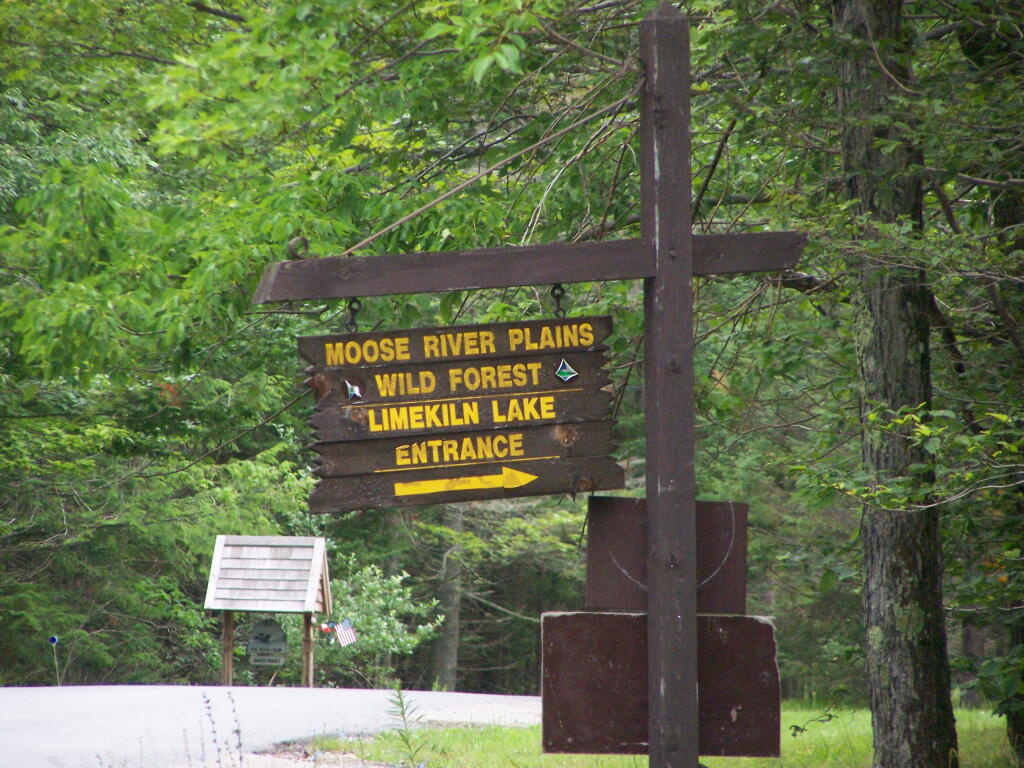
One of the things that I’ve puzzled over for for some time, is the practice of hiding officially designated roadside camp sites and primative camping areas from their website and from offical signage on primary roads.
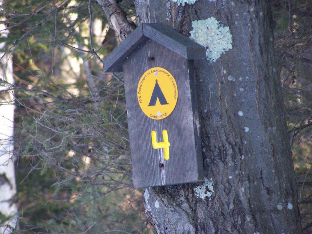
The DEC never puts a sign up along a road saying “Camping Area”, although they do often designate individual sites along the roads with smaller markers. It’s always signed as “C.C. Dam Assocation”, “Moose River Plains Wild Forest”, “Mountain Pond Fishing Area” with no information on camping activities, despite having dozens if not hundreds of designated road-side camping sites.
It’s not like people can’t figure out where primative campsites are located by searching the Internet for other web sites, driving around on state truck trails, checking topographic maps, studying Unit Management Plans, and talking to people who have been their previously. Things are not really hidden, it’s that DEC just doesn’t make it obvious.
To make matters worst, the DEC varies greatly in their policy towards putting campsites on their online interactive mapper. Some camping areas are not included in their interactive mapper at all, while other are in part or whole. Some designated camping areas on the mapper, require a free permit from the DEC, although you would never know it from the website.
The DEC also does not provide public access to the shape files used to draw the data in the online interactive mapper. Despite one’s repeated attempts to contact the Department for acess to that shapefile, the GIS director has never responded. If you wanted that incomplete shapefile, you would probably have to FOIL the agency, and no guarantees that the department would provide access.
There are probably a couple of rationals for this disorganized policy towards primative camping:
Discourage over use by keeping camping areas known to a limited number of people who’ve spent the time discovering them on their own
Discourage ‘casual’ use by youth who seek simply places for partying and generally making a mess with beer cans and other unburnable trash, damage to vegetation, and generally getting themselves in trouble
Competition from State-owned DEC Campgrounds, many of which are money makers for the DEC and help fund other activities of the department
Disorganization in the DEC regional offices, which may not sychronize their data with DEC Headquarters in Albany.
Regional DEC Offices desire not to share with the DEC in Albany, a list of campsites that do not comply with wild forest guidelines due to spacing or frontage issues.
Regional DEC Offices would prefer people contact the forest rangers directly about camping opportunities, so they can better control use of their lands and maintain a kind of fiefdom over them.
Regardless, it would be nice if the Department of Environmental Conservation, in the form of it’s regional and state offices, would be honest with the public about camping opporunties across the state. The public owns the land, and the public has the right to know about how it can be used, without directly having to contact individual forest rangers, which may or may not be honest or helpful.
I can set my alarm clock to an early hour, and get going at an early morning. Yet, I can’t get moving fast in the morning. I am a slow poke, always delaying, and puttering around, as the time moves along on the clock. It’s simply not possible for me to rush and get ready most days.
I like to get up early to go hiking. I don’t like to waste the whole day in bed on the weekends. I have to get to work on time. Yet, to do that I always have to get up extra early in the morning, because I’m just so darn slow.
I set my alarm clock extra early, and get going earlier. Yet, it still takes me 1 1/2 to 2 hours to get going, as I often reset the alarm clock, drink several cups off coffee, take much too long in the shower, and just poke around. I wish was I faster, but I guess there isn’t much I can do about it.
Sunshine on my shoulders makes me happy, sunshine in my eyes can make me cry. Sunshine on the water looks so lovely, sunshine almost always makes me high.
– John Denver, Sunshine on My Shoulders
You know, there is nothing like the first rays of sunshine in the morning. Whether it’s waking up to the sunrays breaking throug the glass of the truck cap, sitting down at a lake or on a hilltop watching the sun rise, or even just looking at the bus window at the rising the sun, it gives me an increadible high.
Sunshine means a new day has broken. A new chance to explore, to discover, to figure out who I am as an individual. A new chance to do good and change the world. Everything starts over again, as we go from the cycle of morning to night in the life of the day.
Night time can be dark and frightening at times. Yet, then with the rising of the sun, the light shines brightly over the world once again.
I am absolutely opposed to rain on the weekends. Rain can ruin weekend plans, force people to be stuck inside, when it would otherwise be much nicer to spend time outdoors exploring the great outdoors.
Now there is absolutely no way to prevent rain from occuring on weekends. It’s not like we can pass a law preventing or just tell god not to rain on our weekends. There are no giant raincoats that we place over the sky, to keep the clouds from dumping their load upon us.
It’s not to say that we don’t need rain. Rain keeps the plants and crops growing, it keep things from drying out to much and decreases the risk of wildfire. It keeps our streams and wells replenished and full. Yet, does that mean it’s okay for it to rain on weekends?
Why can’t every weekend day, be beautiful, and sunny, low humidity, and 75 degrees?