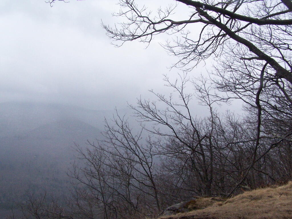
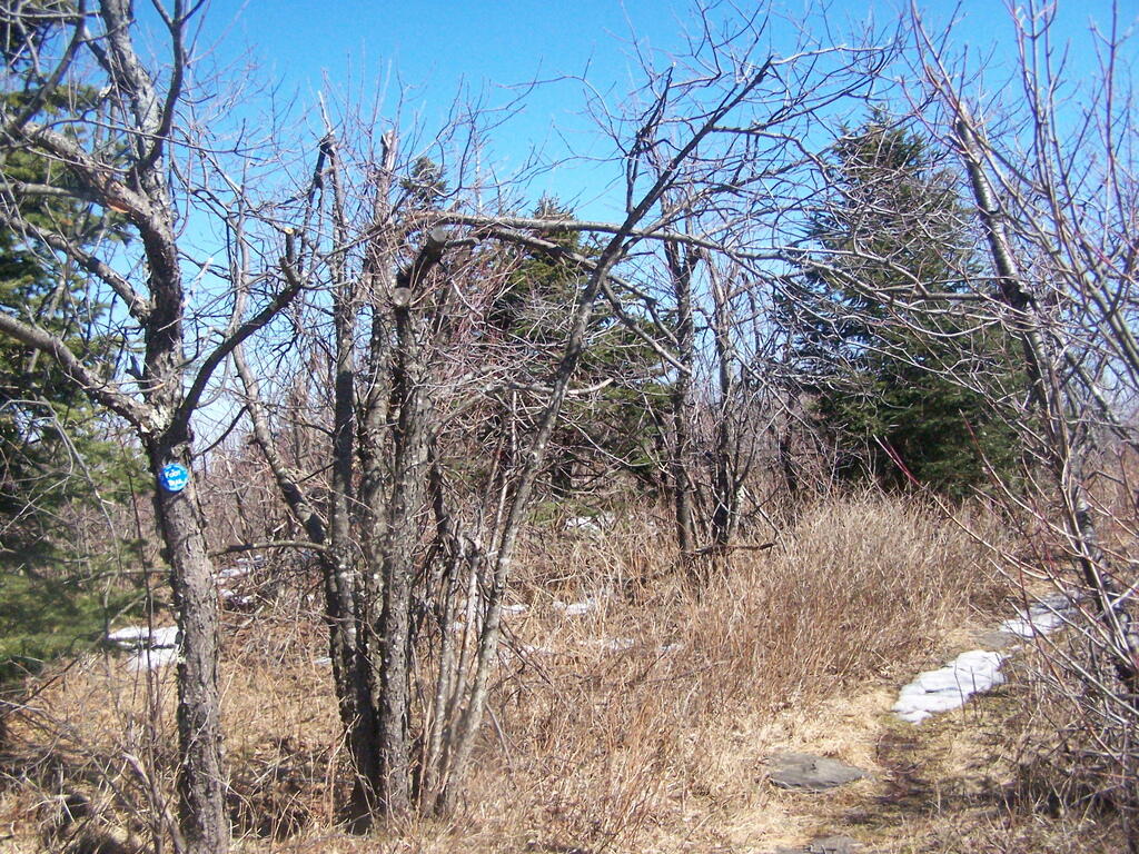
Plateau Mountain, directly east of Hunter Mountain is one of the Catskill 3500 ft Mountains, but rarely gets much attention. It has a good trail up it, a bit a fairly steep one, that has wonderful southerly views, out towards Edgewood and many Catskill Peaks. It climbs about 1,900 feet in 1.8 miles — a good 20% grade, including several relatively flat places.
Once you reach the top, there is one section where you have to climb up hands and knees up two 4′ steps. Beyond that the trail is essentially flat for the next two miles. There some decent views over Tannersville and of the TriMount region of the Catskills. From there for the next mile and a half there are no views, as the trail wanders around properly lines until it reaches the easterly descent into Mink Hollow.
Not a lot to see once on top of the mountain, long and sprawling with dense forests. Regardless the various views are nice off this mountain, and it’s frequently overlooked as a mountain to hike in the Catskills.
It was a nice hike with some truly beautiful weather. The only mistake I made is I did not bring enough water. I was through 2 liters of water before I knew it. Still I conserved water and made it down safely by about 2 PM (I started up the mountain at 7:45 AM).
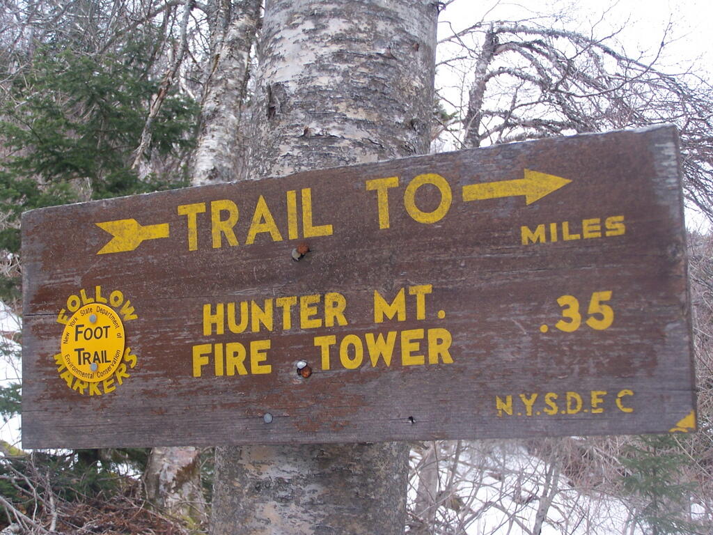
On Friday I hiked up Hunter Mountain, the second tallest peak in the Catskills at 4040′ elevation above sea level. From the trail head you clime 2020′ feet in elevation, about doubling your height, but it’s not that bad when you consider the climb is over 2.5 miles via the Becker Hollow Trail.
It was a beautiful sunny day, although I was well aware that rain was expected by afternoon. I had gotten a late start, not reaching the trail head until about 9:30 AM. It was quite hot going up, in part because there was little shade to hide out under.
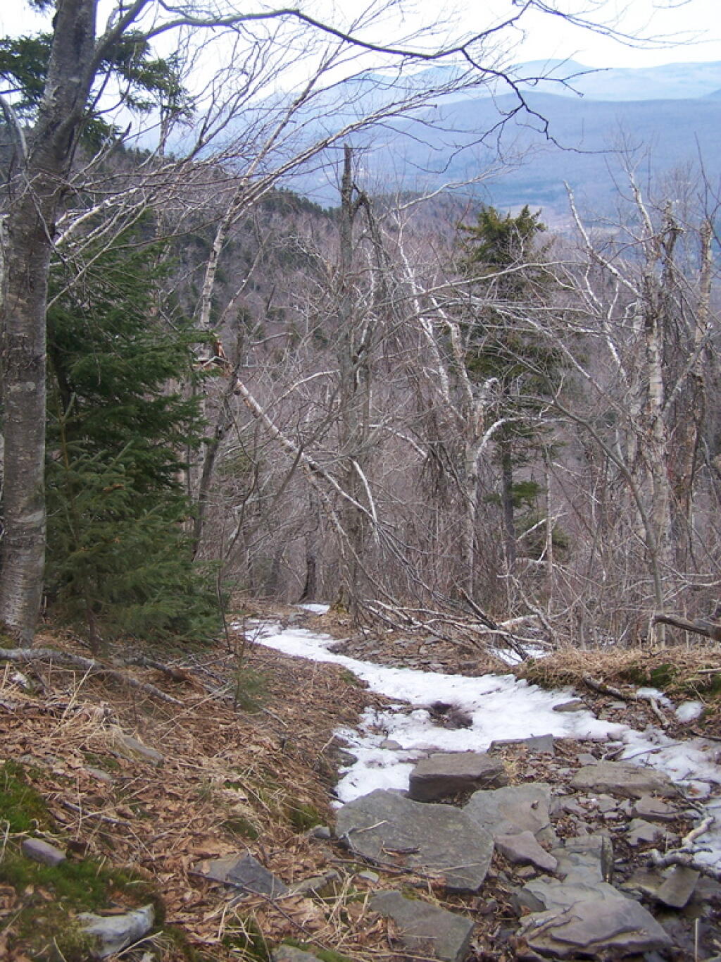
The first part of the trail was relatively modest, but it quickly got steeper. It didn’t seem that bad, but I could feel the elevation, and with the sun it was quite warm. I took frequent breaks, stopping for lunch, pictures, water, and just to cool down, especially where I could find shade under the pine trees.
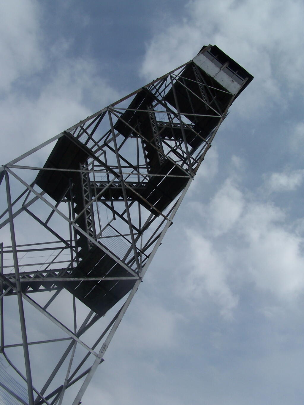
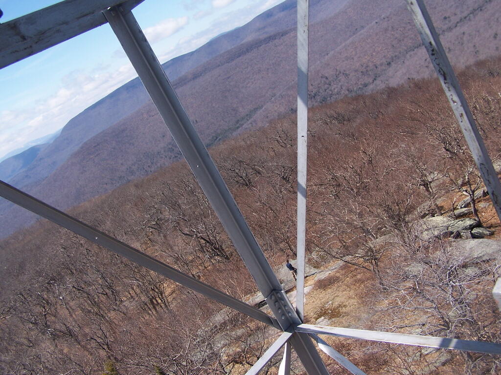
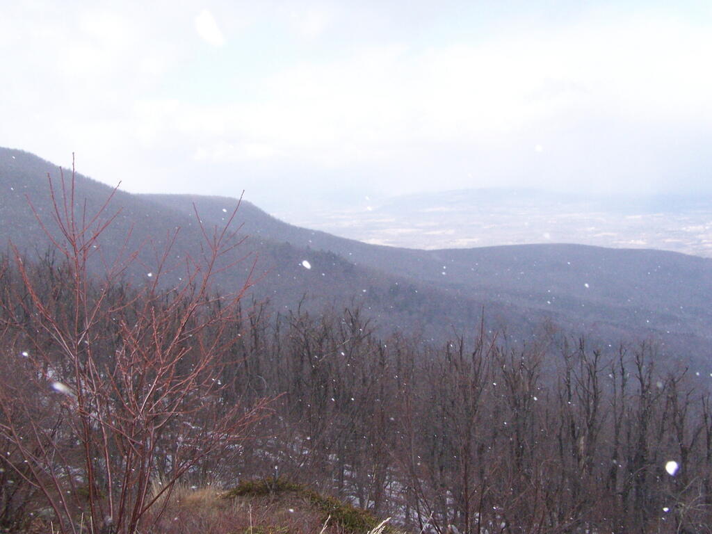
Around 3500 elevation marker, the trail headed south and got snowy and icy. It was a steeper hike, but not any worst then any other of the Catskill peaks. Then the yellow trail split off the blue trail, and it was a 1/4 mile up to the fire tower.
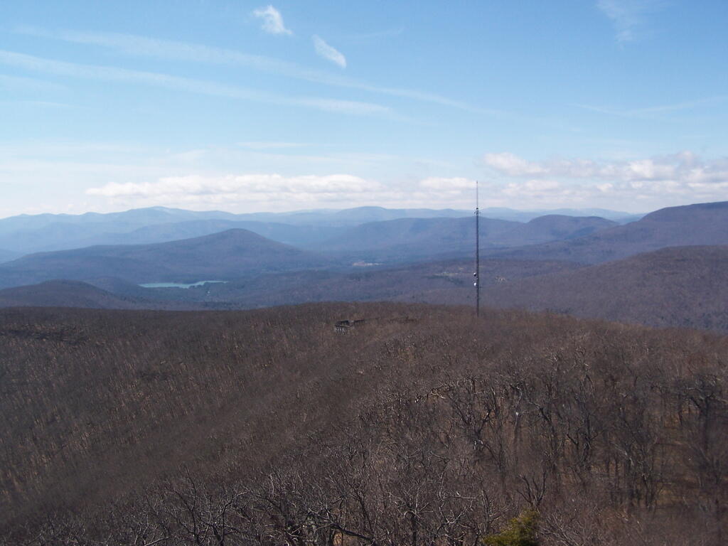
The fire tower is in the middle of the Catskills, so the surrounding mountains block the view of the valley except for a few views, such as down the Palenville Clove. Westerly views are the best, as are some of the southerly views.
The top deck of the fire tower of is missing the safety screen. Not that it matters much as the railing makes it pretty unlikely to fall, but I still have enough of a fear of heights to be extra careful. Stupid, sure.
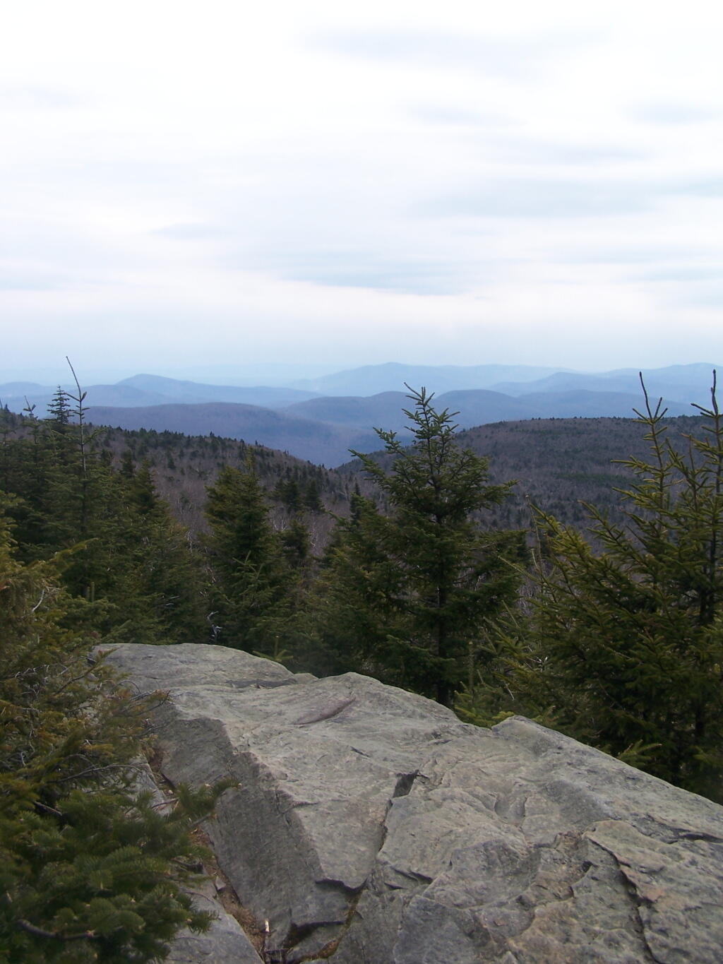
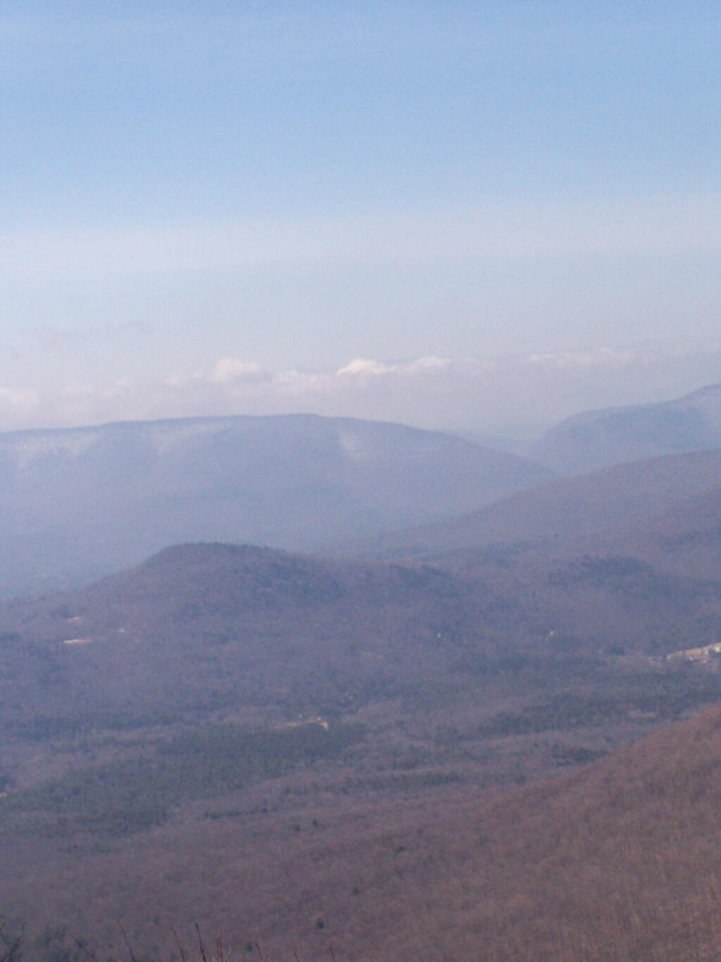
A little ways to the south on the blue trail, about 1/2 mile, there is another view that overlooks the south-west, including West Kill Mountains, Slide Mountain, and Belleayre, all clearly identifiable.
This hike is definitely worthwhile when things are green out, if you enjoy looking at mountains. But it was awful gray out, especially by the time I reached the top, and it had clouded over. The lack of views of the Hudson Valley and the river was somewhat disappointing, but not surprising.
I slipped on some ice on the way down, slide about 10 feet and certainly felt it the next day. Other then that, it was a nice descent, much easier then going up. It started to pour, just about the time I reached my truck.
This past weekend’s Catskill Mountain hike was a return to Overlook Mountain, the first hike I took when I was working on my Hiking Merit Badge back in Boy Scouts. I also chose it because it was a quick hop down Route 9W or Thruway from Albany.
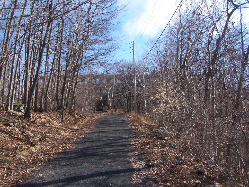
Not getting as early of a start as I would have liked, I arrived at the trail at around 8 AM. There was only one other car when I got there, it was packed by the time I leftbe aware if you plan hiking there. It was a nice clear morning on Sunday, and I made it up to the Catskill Mountain house around 9 AM, and to the fire tower around 9:30 AM. It was an easy hike up, following a well maintained authorized-vehicle only road, although somewhat more difficult psychologically, as you could see a quarter mile or more of the road, as it sloped uphill, sometimes at a 10-15% grade. It was not particularly warm at this hour, but I stopped frequently to snap pictures and stay hydrated.
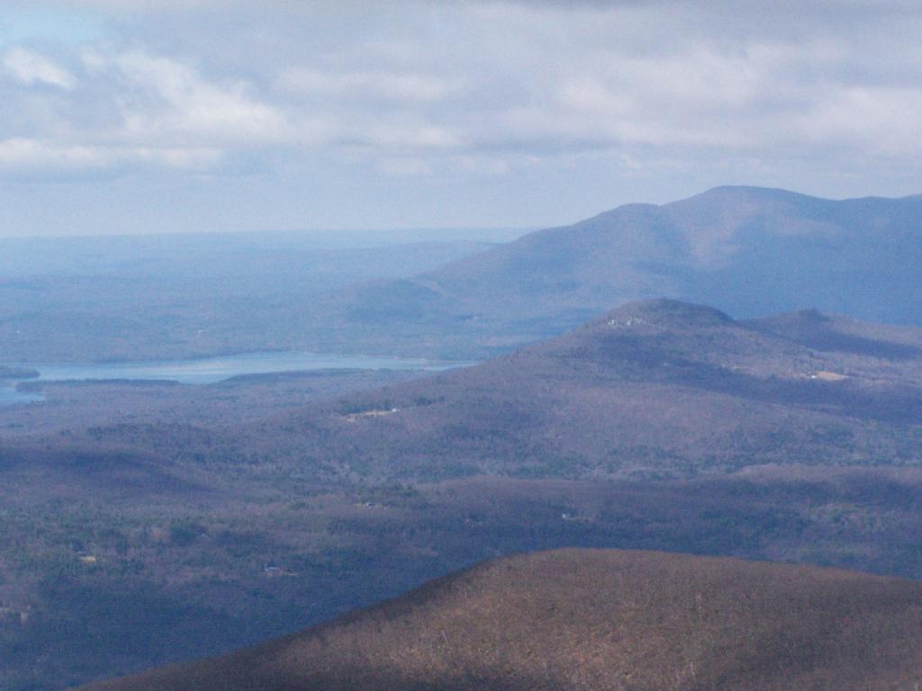
The ruins over the Overlook Mountain House (2.0 miles from parking area on Meads Mountain Road), was bigger then I last remember it. It was too bad it burned, although it’s kind of neat how the general public can inspect it and think how grand it must of been in the 1920s when it opened, and people drove up there in their Cadillacs of the era. I walked around and snapped some pictures. Then I went up to the fire tower, about 1/2 mile further. It was windy, and it appeared there was a gate closing it off, but I pushed it open and went right up. I didn’t go all the way to the top at first, because I have a little bit fear of heights remaining. I snapped several dozen of pictures.
There also is a trail with southerly view, allowing you to sit and look out over the Hudson River, Woodstock, mountains South of Overlook, and the Ashokian Reservoir. I can’t imagine how beautiful it must look in summer with everything nice and green. I took some notes, pictures, and just gazed at the landscape.
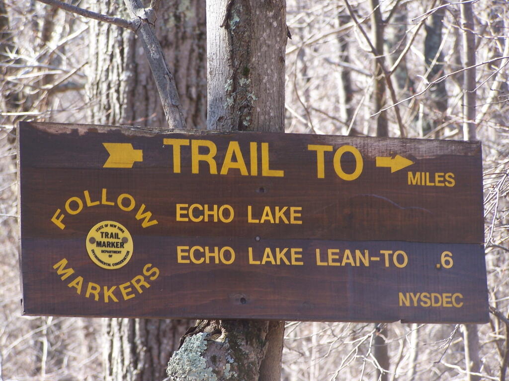
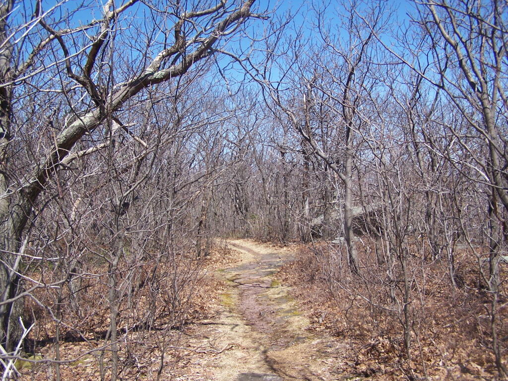
I then decided to head down the mountain. But it was early, around 11 AM, so I decided to go for a hike down to Echo Lake. It looked pretty from the fire tower. I had forgotten I had been down there, during the Boy Scout hike, until I reached the turn off for the Echo Lake trail. The trail from the fire tower to Echo Lake trail turn off, also known as the Overlook Mountain Blue trail, is a gentle descent, following a long abandoned old woods road, complete with extensive grading for travel by automobiles. It’s no longer passable by cars, but remains of the fairly extensive cut and fill can be seen. Some snow and ice where on the trail, and parts where muddy, but no part too bad. This section is 2.0 miles.
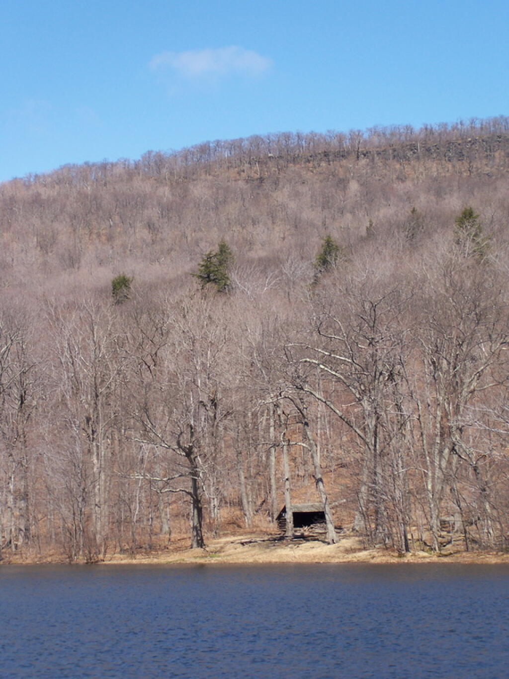
The yellow trail down to Echo Lake is somewhat steeper. You descend a lot of altitude in 0.6 miles. Echo Lake is relatively small, but pretty. There is a lean-to down there, along with an established camping area near the lake. The lean-to appeared to be well used and older. It arrived there around noon time. Spend about a half hour there.
The trail from Echo Lake back up to the fire tower was not a bad hike. Passed several hikers, and made it back to the fire tower around 1:30 PM. It was amazing how much the light had changed in 3 hours. It went all the way up the tower this time, as the wind wasn’t blowing so hard, and also to the overlook. Around 2 PM, descended the trail and headed back to the truck. I arrived back around 2:45 PM. It was an easy hike down, although you had to keep holding yourself back.
I arrived at the trail head off Big Hollow Road around 7 AM. I had set my alarm clock early, so I could get up the peaks early, and get some really good photographs. I also had wanted to get back early, so I could be back in Albany to do some political canvasing for Scott Murphy. While the later did not happen, as I was running late, the trail up the mountain was flat for the first 3/4 of a mile, then grew somewhat progressively steeper, as the red Black Dome Trail made it up to to the Yellow trail, the Blackhead Mountain Trail.
It was icy on parts of the trail, particularly as it went further uphill. Then the trail went far enough south to get beyond the very distinctive snow line. There was no snow or ice beyond this line, where the sun gets to the longest part of the day and without the cold northern winds. After the intersection, I went west towards Black Dome. I passed the 3,500 ft elevation sign. The trail gets steeper, and then it seemed to head just far enough north get back in the snow line. It was a bit slippery, but not too bad. Nice southerly views, a bit with trees blocking it.
Then the trail becomes steeper, climbing up a notch in a rock face. A little more snow and ice, then it gets in the woods, and becomes very icy, with the ice melting in the woods. The trail wasn’t all that steep at this point, but I decided not to continue up, and risk getting injured. I turned around, about 100 feet from the peak of Black Dome. I will return to this mountain after hiking up Thomas Cole once the weather warms and the remaining ice is gone.
I then descended Black Dome and continued up Black Head Mountain (the most easterly peak of TriMount). The trail up that was amazing, with some great westerly views, which I was fortunate enough to get some amazing pictures from. I made it up to the top of Black Head Mountain, and the Northern Trail / Escarpment Trail off the mountain was too icy to take back down. It was good insofar as it gave me more opportunities to take pictures on the way down from Black Head looking south-west. Amazing to see all the mountains. Made it back down to the truck around 1 PM.
This DEC trail map I photographed may also be of assistance.
Most people don’t like their views challenged. New ideas can be incredibly painful as they challenge our identities and deepest held beliefs. There are many times when people express opinions or present facts, and I immediately want to reject them. One should not reject those facts, but try to listen and see if they actually make sense.
At age 26, many of my views on the world are changing. I grew up in a different generation then many of you, so my experiences are different. I believe it is important to challenge other people’s beliefs, and try to point out the hypocrisy of them. I wish more people would dare to counter the popular wisdom of their clan. Our society needs more heretics willing to challenge the conventional wisdom.
For daring to challenge some of you, I will be branded a traitor. I will be said to be taking the corporate line, or taking the position of the elite. Yet, regardless of where we all stand, shouldn’t be challenging our own views? Certainly many of the views of the progressive community are passed down from the liberal elite, those liberal economists from Yale and Harvard and liberals in the highest level of government.
I don’t believe we should necessarily believe what some professor from Harvard or Yale tells us is right. We have to observe the world ourselves, and not be afraid to ask the hard questions. We should always have a lot of doubt how the world is, and not be afraid to the challenge our clans. I don’t always believe everything I say, but sometimes it is so important to inject new ideas into a discussion.
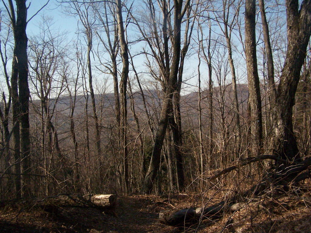
The previous Sunday I hiked up Windham High Peak. This Sunday I parked on Big Hollow Road, went to the second peak west of Burnt Knob via Black Dome/Escarpment trail, then back east over Acra Point, and back down on the Batavia Kill Trail.It was cold and sleet was coming down. It felt kind of strange with a sunburn from the previous day. It was gray out, with a few times with blue sky peaking out between the snow squalls.
Watching the snow come down on the mountains was cool, as they rolled in and out. On Acra Point I couldn’t see anything at all because it was coming down so hard. Other times, it would just appear hazy from the ice pellets taking away from the clearness of the day.
I wish the weather bad been nicer for taking photos. There where some real nice views up there, argumentatively nicer then some that you see from Windham High Point, which is several hundred feet higher. I do want to do redo this part of the trail once things green up out there. I plan to continue doing more of the escartment trail, each weekend a new section. My goal is to hike a new mountain every weekend, until it gets too warm out do it comfortably.
On Sunday afternoon I went for a hike up Windham High Peak. It took about two hours to go up, and then I spent about an hour up top, taking photos and jotting down some notes. I took the blue trail up from Route 23 parking lot, past the lean to and to the peak.
It was an amazingly warm day for the end of winter. There was not much ice on the mountain, due to the southerly route of the trail. Once you reach the top, the views aren’t all that spectacular, in part because you are up so high, and the Heldebergs below are so far below you, almost 2,250 feet lower.
In retrospect, I think I preferred going from Big Hollow Road, which I had hiked up Windham High Peak in the past. There is far less elevation going up that way then climbing up from Route 23. Regardless, it was an enjoyable hike.