Windham High Point
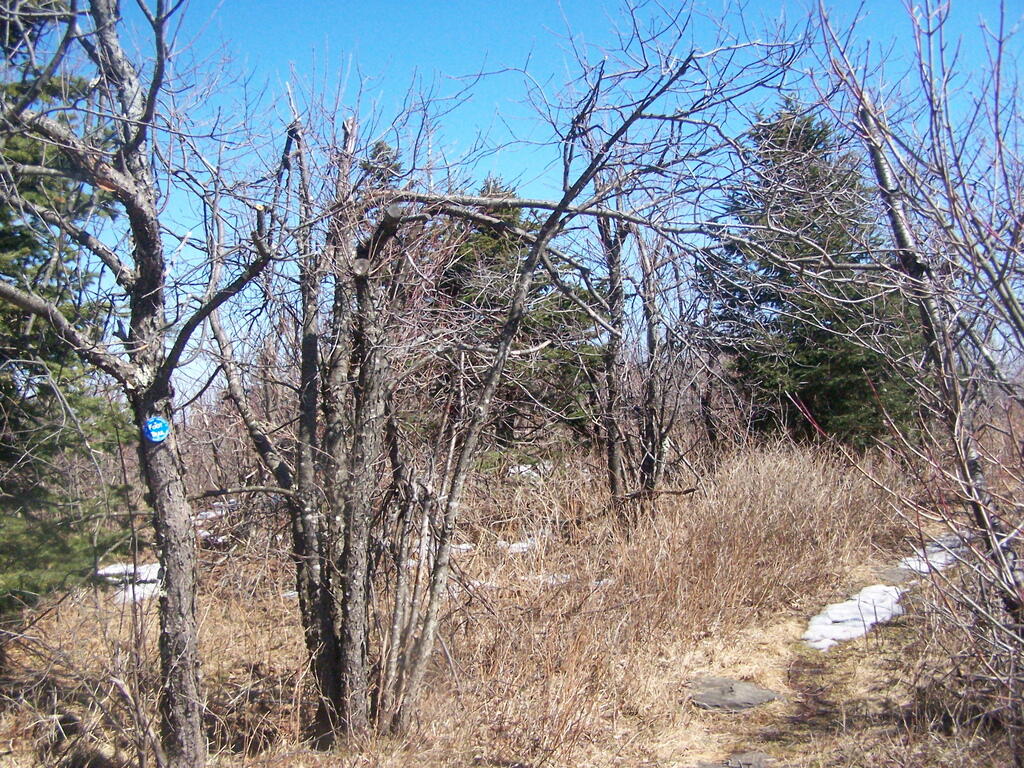
On Sunday afternoon I went for a hike up Windham High Peak. It took about two hours to go up, and then I spent about an hour up top, taking photos and jotting down some notes. I took the blue trail up from Route 23 parking lot, past the lean to and to the peak.
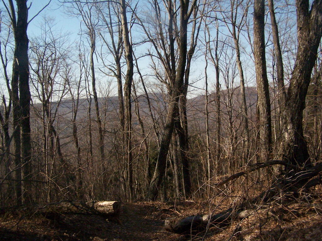
It was an amazingly warm day for the end of winter. There was not much ice on the mountain, due to the southerly route of the trail. Once you reach the top, the views aren’t all that spectacular, in part because you are up so high, and the Heldebergs below are so far below you, almost 2,250 feet lower.
In retrospect, I think I preferred going from Big Hollow Road, which I had hiked up Windham High Peak in the past. There is far less elevation going up that way then climbing up from Route 23. Regardless, it was an enjoyable hike.
Be sure to see my Windham High Peak photos.
Hikers – Trailhead
Tent – Lean to
Balloon – Peak
View Windham High Point Hike in a larger map
This DEC trail map may be of assistance.


