Nice Sunday afternoon. A bit cloudy, but warmish out. Decided to hike on OSI Preserve parcel as on May 1 they had already started to charge to parking at Thatcher Park. This area in many open fields and nice places for hiking, and indeed the start of the hike was quite enjoyable.
I was quite surpised on how there where many new trails now open in the OSI preserve, including trails to both High Point and Hang Glider’s Point. High Point previously was privately owned, but was purchased by OSI.
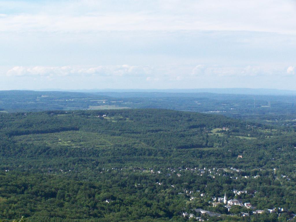
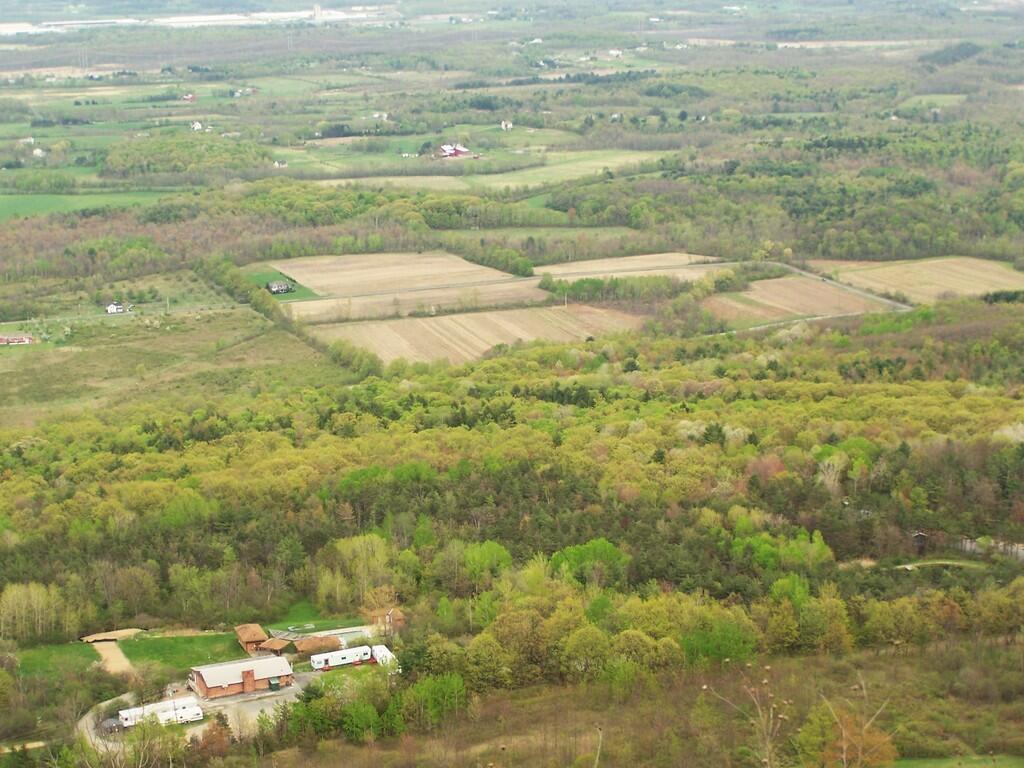
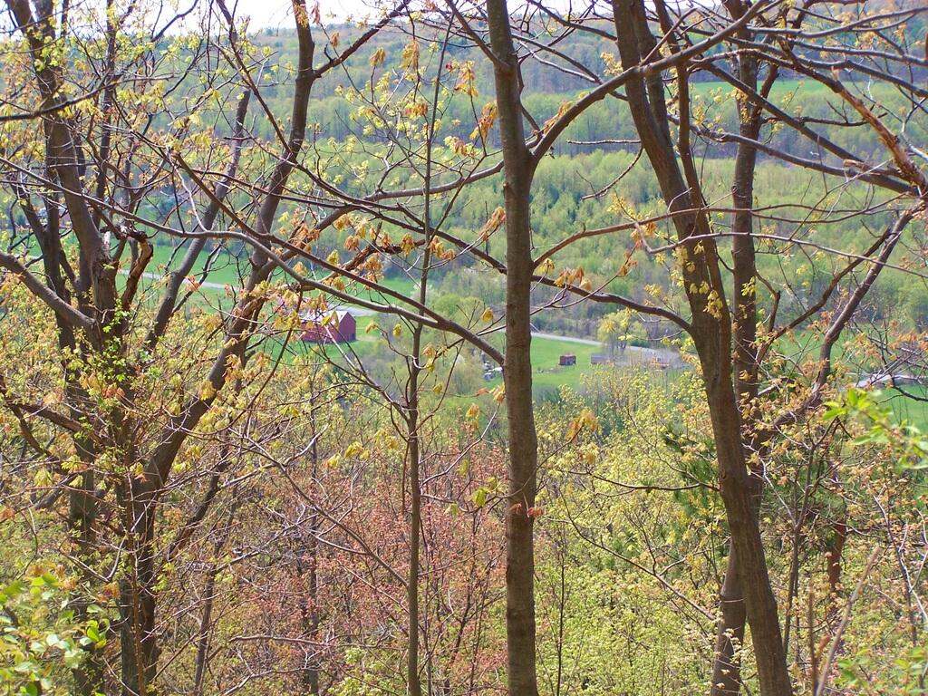
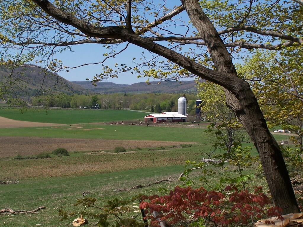
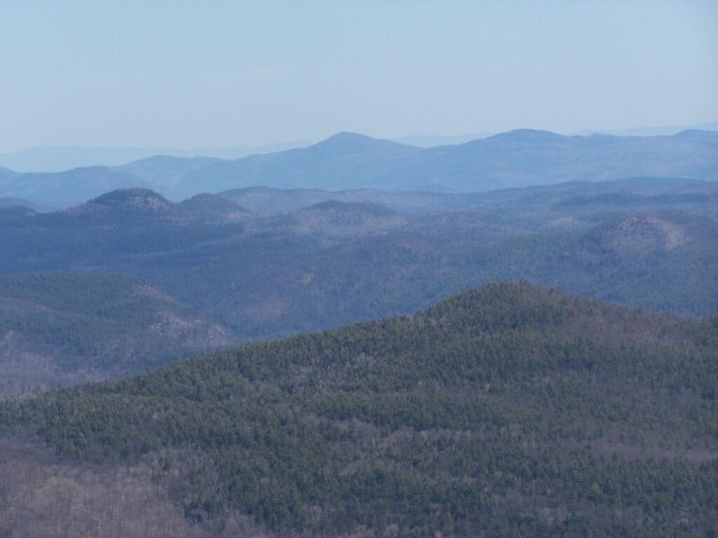
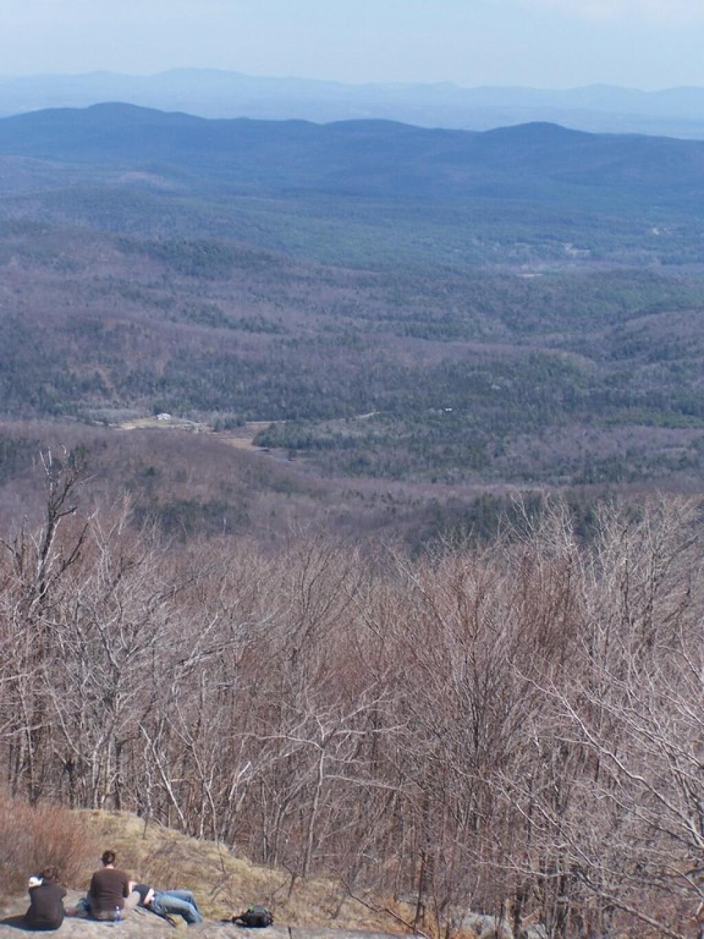
Both points had great views of Altamont and towards Schenectady, which was drowned in haze.
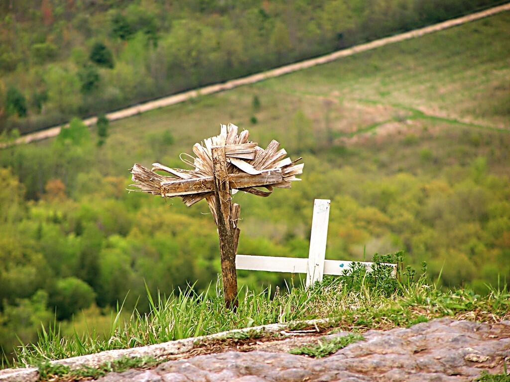
These crosses where at Hang Glider’s Point. Sad. Who died here? Why? Suicide? I’m sure somebody will write about the tragic story.
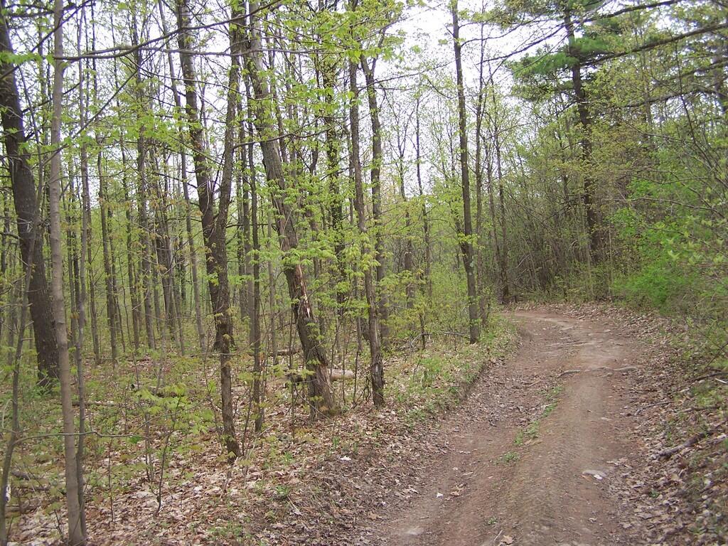
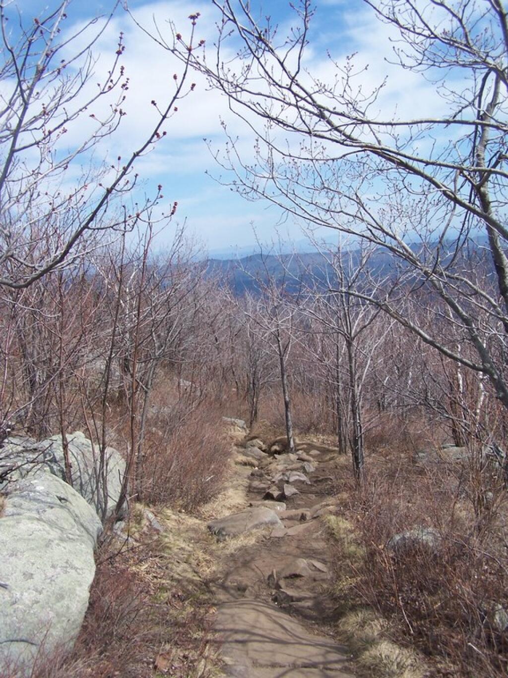
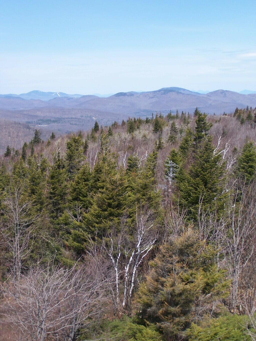
The trails are all well labeled, escape for an unmarked, but well maintained trail along the edge of the Escarptment, which you can see I took from High Point to Hang Glider’s Cliff. That escarpment trail was close to the edge in many places, but perfectly safe to watch.
Parked at trail head on Ryan Rd. Hiked via. Yellow Trail to Carrick Road. Took Hang Glider Rd along with White Trail to Long Path. Took Long Path north to Red Trail. To Red Trail to Escarpment. Took Unmarked Escarpment Trail to High Point. Took Long Path to Red Trail. Took Red Trail back to Escarpment. Took Unmarked Escarpment Trail to Hang Glider’s Cliff. Took Hang Glider Road to Carrick Road to Yellow Trail to Ryan Road trail head.
The Map.
Hikers – Carrick Road Trailhead Red Balloons – Overlooks Red Trail – Hike on May 3, 2008
On Saturday I went for a Day Hike up Bennett Hill in Clarksville. It was a beautiful day out, and signs of spring where all over. We first did some trail work, then hiked up Bennett Hill via. the Green Entrance Trail to Yellow Hilltop Loop to the Red descending trail.
It was nice seeing all of the green out this spring. It was not super warm out, but just right temperature wise. It was a short hike, but an enjoyable one for sure. All of the scouts enjoyed it, despite having just moderate hiking experience.
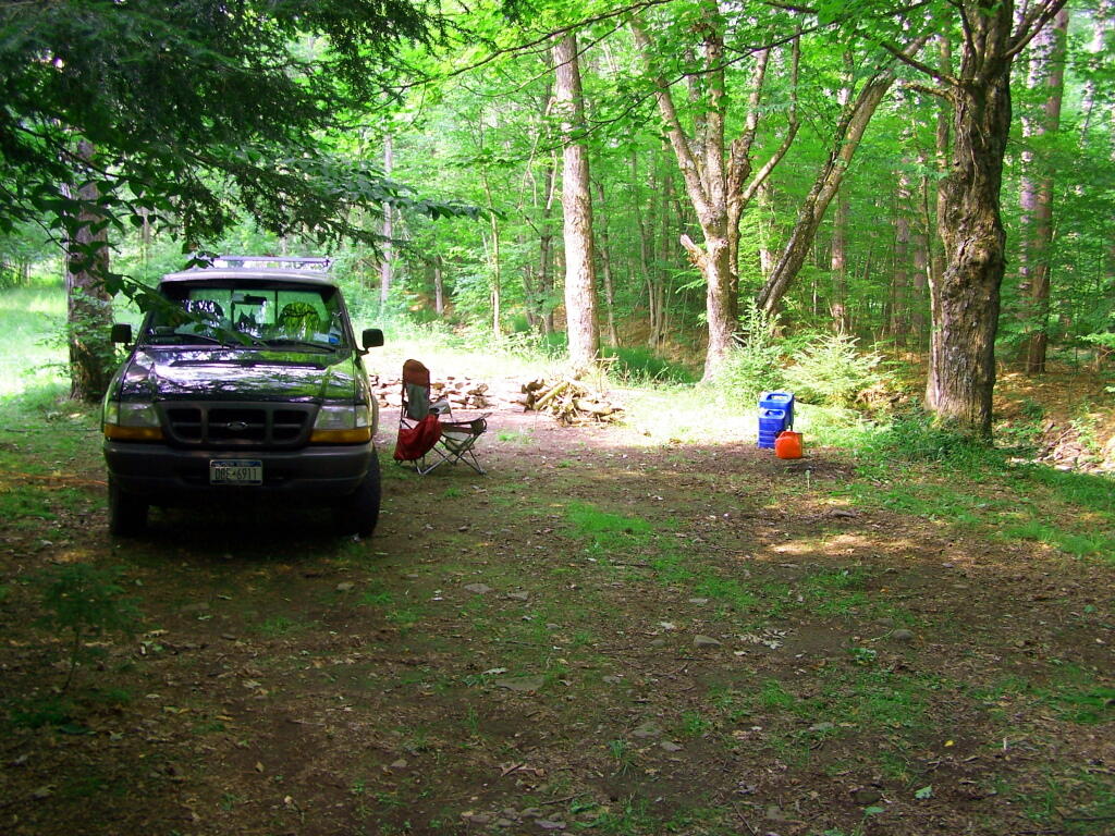
This is a re-run from April 27, 2009, camping out at my parents house last year. This past weekend I put the cap on my truck, and look forward to the spring.
— Andy
Last night was the first night of the year I spent sleeping out in the bed of my pickup truck. I have the cap on, the sleeping pads and bags back in, an it was a delightful 75 degrees out last night. The weather was amazing, the stars where great, and I built a big campfire in the back field a ways from my parents house.
I had forgotten the wonders of the night. Sitting out and listening to the spring peepers and creek flowing by. Watching the flames flicker in the campfire. Swatting the black flies. Wandering around the field, looking at the stars and the distant city lights. Tossing stones over the creek bank into the stream 10 feet below.
As the fire burned on, I took off my clothes in the warm springtime eve air. I hopped in the creek, illuminated by the campfire. It was so refreshing after a warm summer day, and it cleared my thoughts. I could hear the owl in the distance, and the water bubbling down and over the rocks. It was so wonderful. I got out of the creek, and up the bank, and quickly dried off with the warm air.
I sat and listened to some old Gunsmoke radio programs I had downloaded to my Mp3 player and on my truck’s radio. The hours ticked by and the moon rose. It was almost 1 AM when I climbed in the bed of my truck, turned out the florescent lead lamp, slammed shut the tailgate and went to bed. I looked up through the back window of the truck cap at the stars and closed my eyes to sounds of the crickets.
Morning came, and I awoke with the hot sun beating down on my truck cap. It certainly was bright and beautiful out. I heard the neighbor’s cows mooing to be milked, and the occasional neigh of sheep and squeal of geese and hogs. Morning had arrived once again. I folded up my sleeping bag and moved things from the cab of my truck back to the bed, fired up the truck, and off I went on this beautiful warm spring morning.
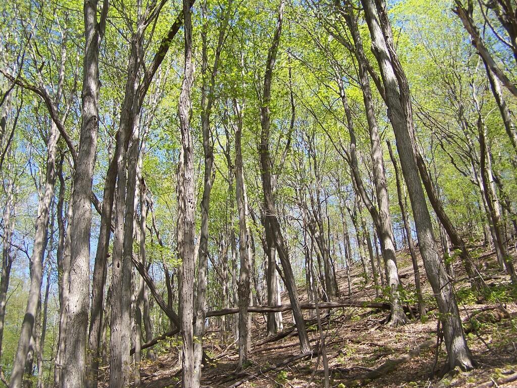
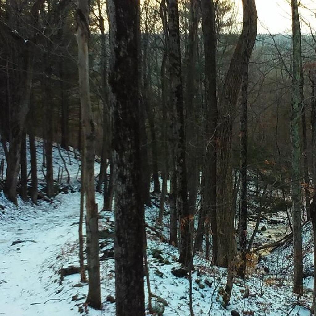
I hiked about 6 miles west to Harvey Mountain from Beebe Hill, a hill top with nice southerly views. The trail was well marked, but the section between Osmer Road (CR 5) and NY Route 22 had some serious blow down and was less traveled. Also the section of blue trail from Route 22 to where it met the red trail had extensive blow down from last year’s ice storm, which made for slow hiking.
Arriving at Harvey Mountain, the southernly views where good, and there where minimal north-western views. I was underwhelmed by Harvey Mountain, although it’s not untypical for what you see in the Taconics. The hot glaring sun made it difficult to get good pictures, and I was hot.
I hiked out to the Massachusetts state line marker, which you get to about a 1/8 of a mile from the top of Harvey Mountain on an unmarked trail.
I lost my cellphone on the way out there, and did not find it on the way back. Another hiker did find it and mailed it back. I didn’t get back to my truck until 5:45 PM, in a large part because the 6 miles of trail each way where a lot of climbing over downed brush, which slowed me down.
Hikers – Bartlet Pond Parking Area Blue Trail – Beebe Hill to Harvey Mountain Trail Tent – Beebe Hill Leanto Flag – Beebe Hill Fire Tower Bubble – Harvey Mountain; State Line
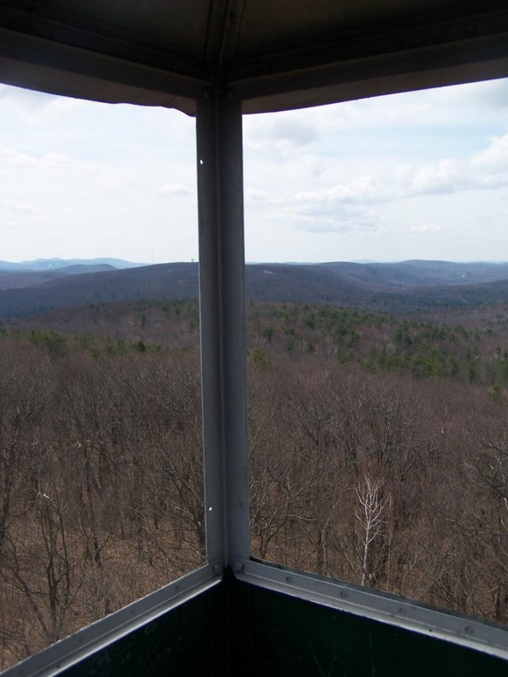
On Sunday I went hiking out in Columbia County. It was a warm but quite nice morning out. First I parked up by Barrett Pond and hiked up to Beebe Hill. The trail is about a mile long, and then you come up to the Fire Tower after a moderate 300 foot elevation climb.
It was a nice clearing spring day. Excellent views to the west, including Canaan and Chatam from the Fire Tower. Some of the hamlets where blocked by the hills, and the fact that some where not much lower then Beebe Hill. You never are particularly high on the tower, but it’s such a quick walk from the parking lot. The fire tower only tops about just a little ways above the tree line, indeed that’s why they allow you to enter the cabin of fire tower.
Nearby the fire tower there is a lean-to. This would be great to stay at one summer night, probably not on a weekend whne it might be croweded/you have to share it. I can imagine photographing it at sunset/sunrise, and looking out at the stars over the Chatam into the darkness at night. It would be so awesome.
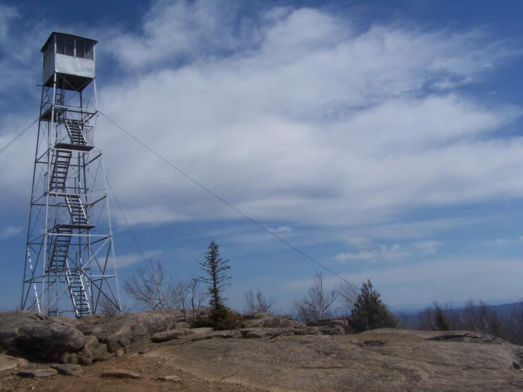
This is my first hike of the year in the Adirondacks. I normally don’t go to the Adirondacks due to the length of the drive from Albany, however I wanted a break from the Catskills. Hadley Mountain has a fire tower on it, and it was a beautiful day out for the hike.
I arrived at the trail head at around 9:30 after a two hour drive from Albany, via. the Bachelorville Bridge and several Saratoga County Roads. It would have been faster to take Route 9N and the Northway, however I wanted to see some of the nearby country.
It was a relatively short hike up the mountain, with a distance of a mile and a half, and an elevation increase of 1,500 feet. Most of the trail was eroded sloping rock face. Admittedly, it was a lot more difficult on the ankles coming down then going up.
Once you arrive up top there is the Fire Tower, some open face worn down to rocks, from use, and a ranger’s cabin. The views are spectacularsome of the best from any Fire Tower around. It would be awesome to visit in the summer when everything is all green and purty.
Spent about an two hour up there, snapping photos and watching the light change. I got a pretty bad sun burn, but it was so nice and sunny out there. It was fun. I returned back to the truck around 3:30 PM.
In recent days it has started to warm up. The snow has largely disappeared except from the most sheltered areas by recent warm temperatures. The ground is throughly soggy and mud is everywhere. Yet, I am not foolish enough to believe just because the calender says that we are officially in spring, that it really is spring for sure.
We can still very much so get snow fall this late in March and into April. Some of our biggest snow storms of the year occur in late March, as weather closest to 32 degrees produces the most snow. It can still get well below freezing and quite cold at night. Winter doesn’t end the middle of March in Albany.
Yet, we can all take some refreshment in knowing that within a month the world will start to regain the amazing color of spring. Light greens on the trees and the greening of the grass becomes a deep green that will last through out the summer. The warm days in the lower 50s rapidly become warm days in the 70s, where you just want to soak up as much sun.
It may say spring on the calender, but it ain’t really here. Yet, it is still just around the corner.


