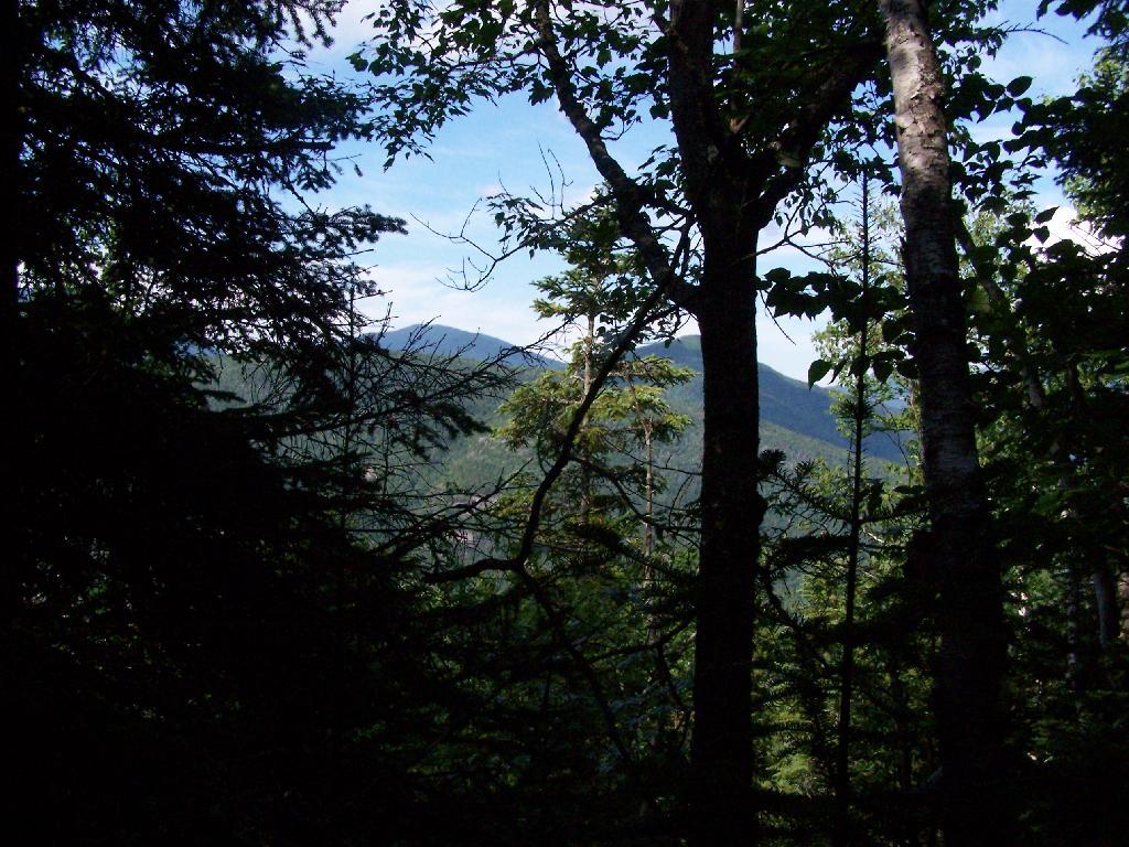
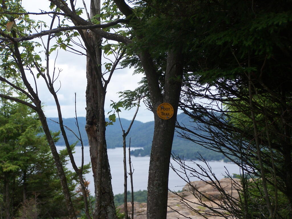
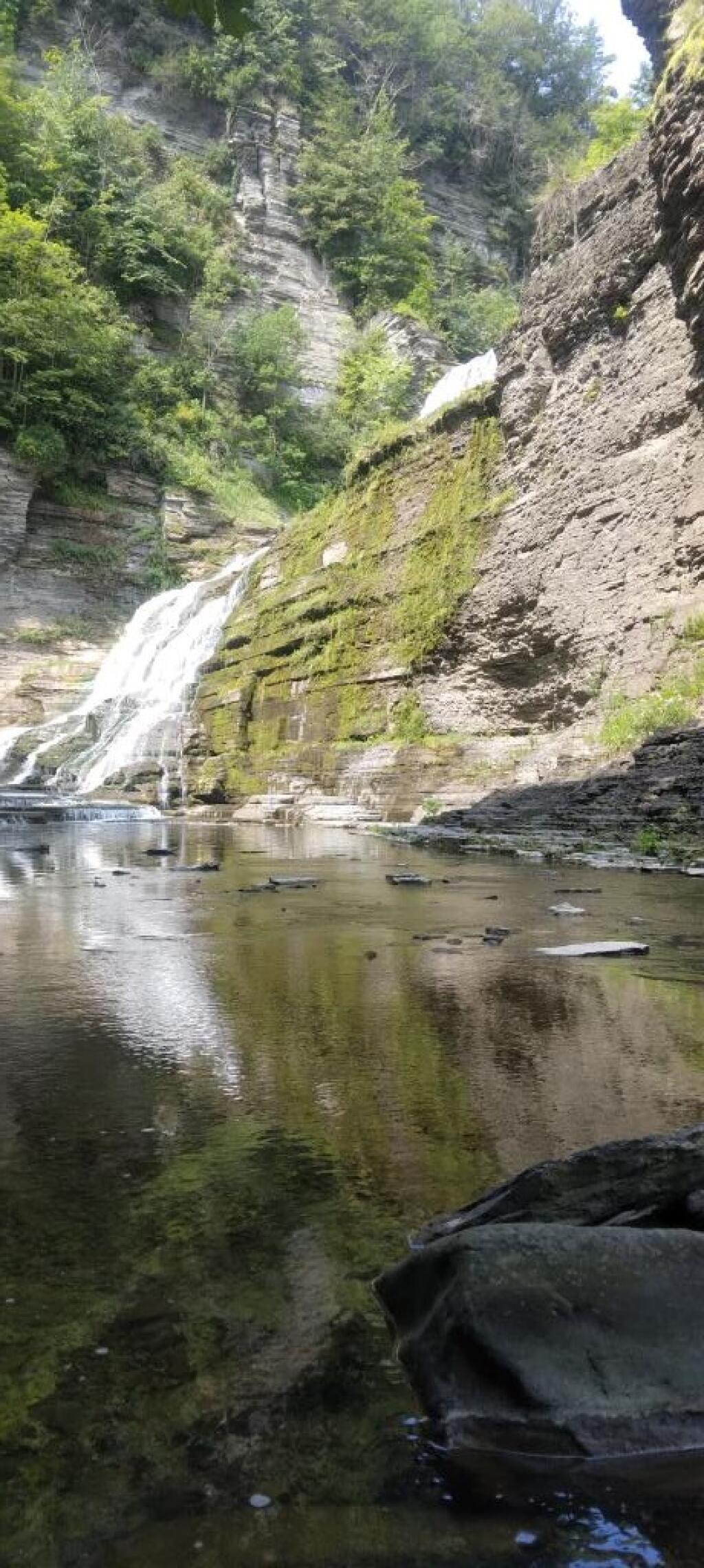
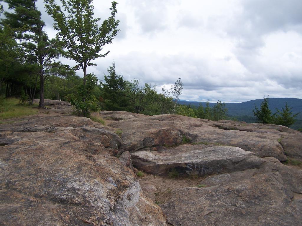
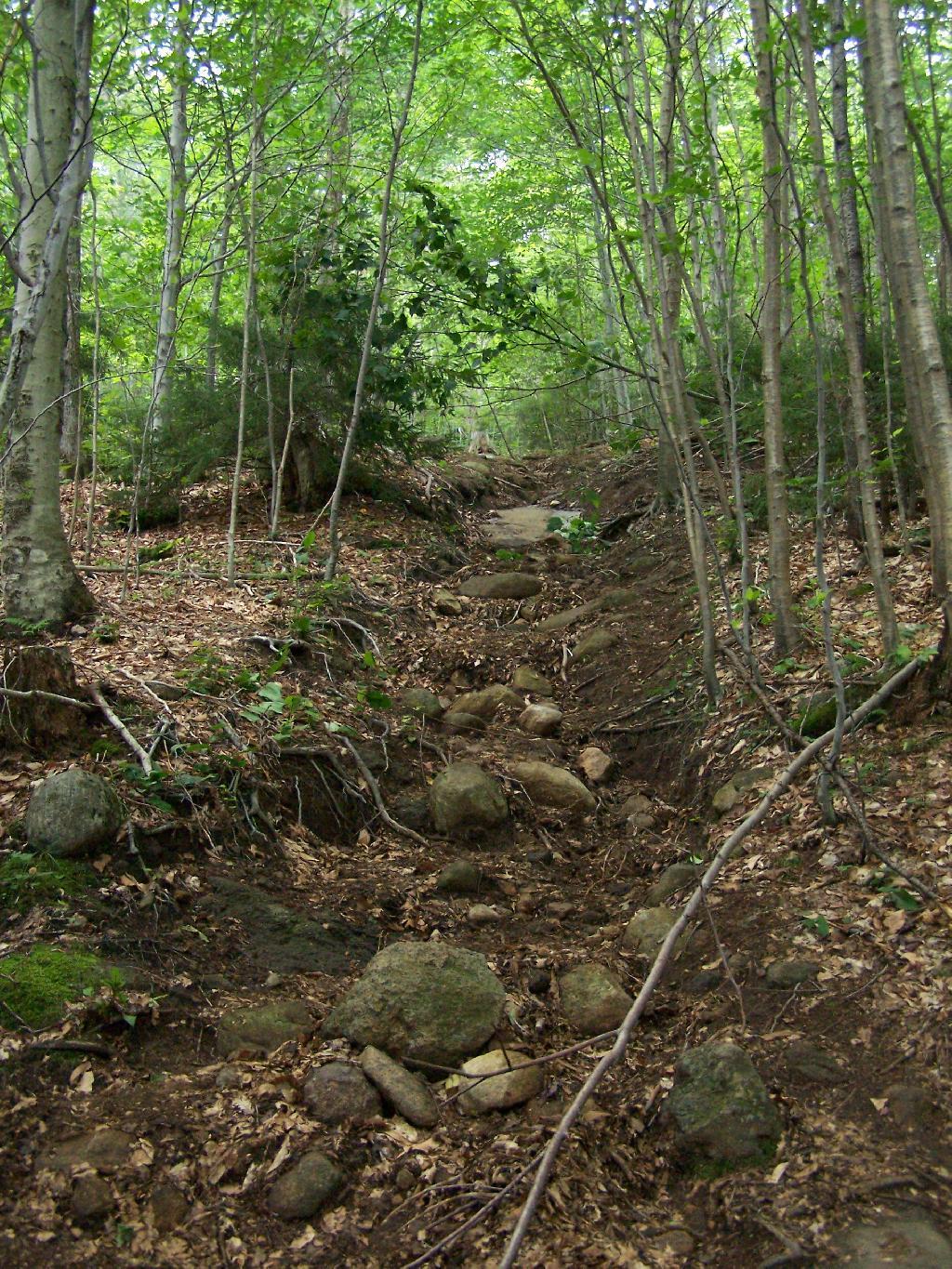
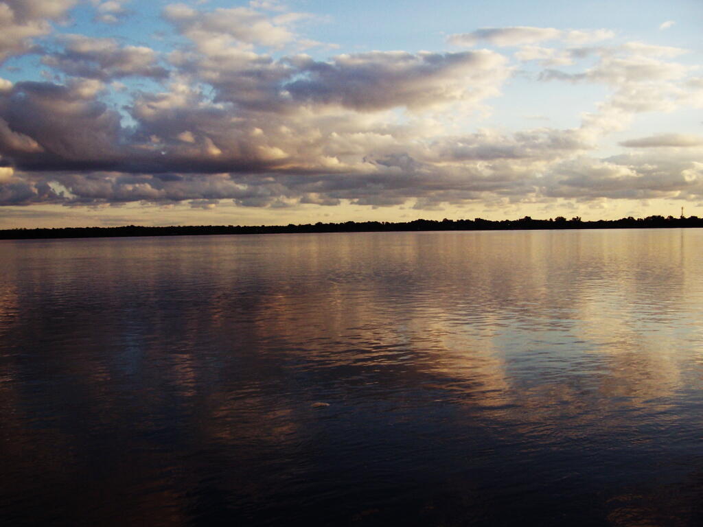
Near Inlet, NY there is a small ledge above Sixth Lake, that is a popular short hike with views of Sixth Lake and surrounding lands. The views aren’t as good as Rondaxe/Bald Mountain, but still are an interesting, half hour hike.
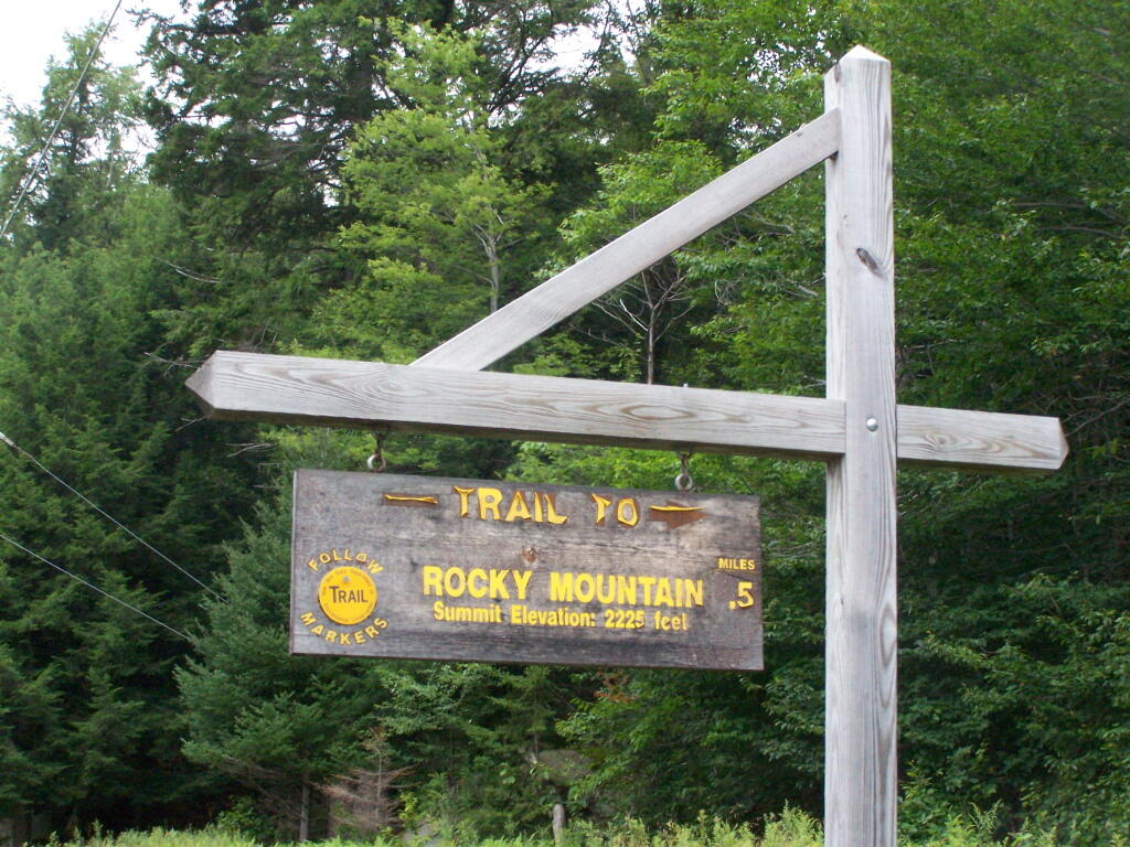
Rocky Mountain Trailhead Sign. Which is great they tell us the elevation of the mountain, but what is the elevation of the parking area? While I know the hike is only an ascent of 400 feet, why couldn’t they just tell us that fact? Silly DEC!
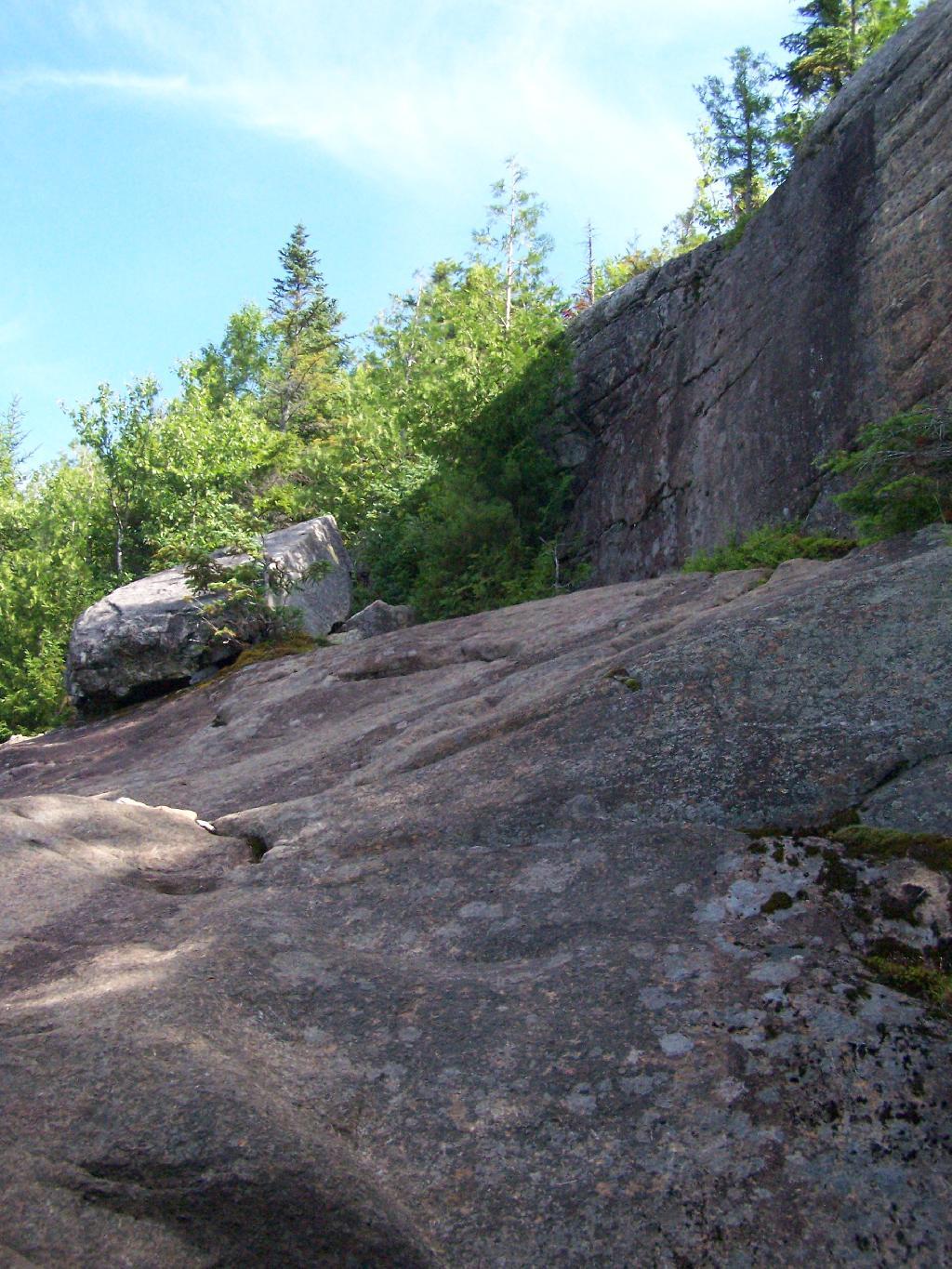
The Rocky Mountain Trail while short, is fairly steep, with a few places being almost a scramble.
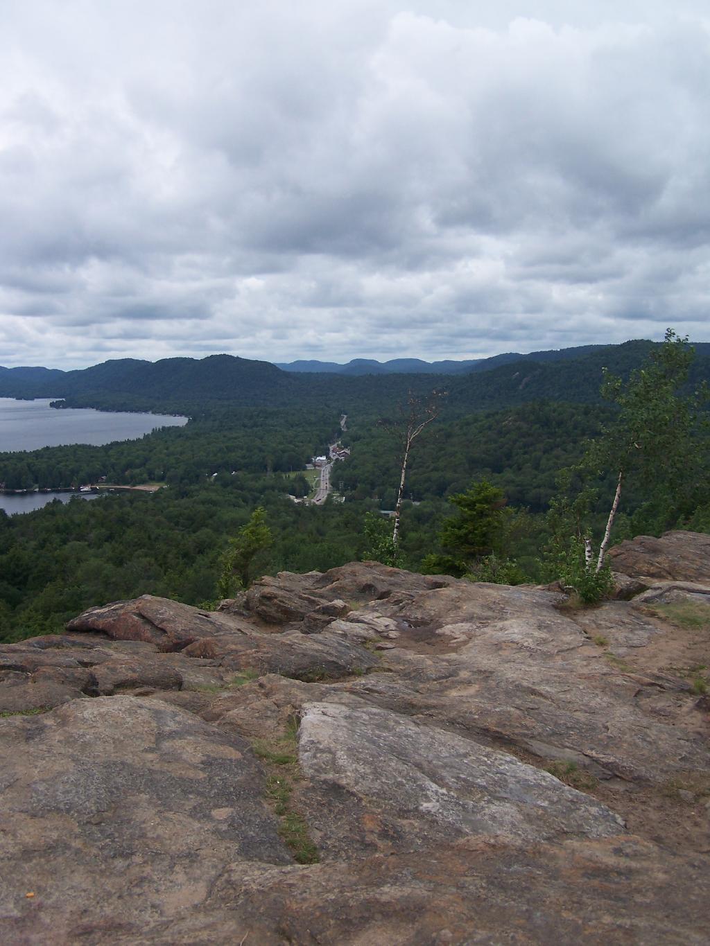
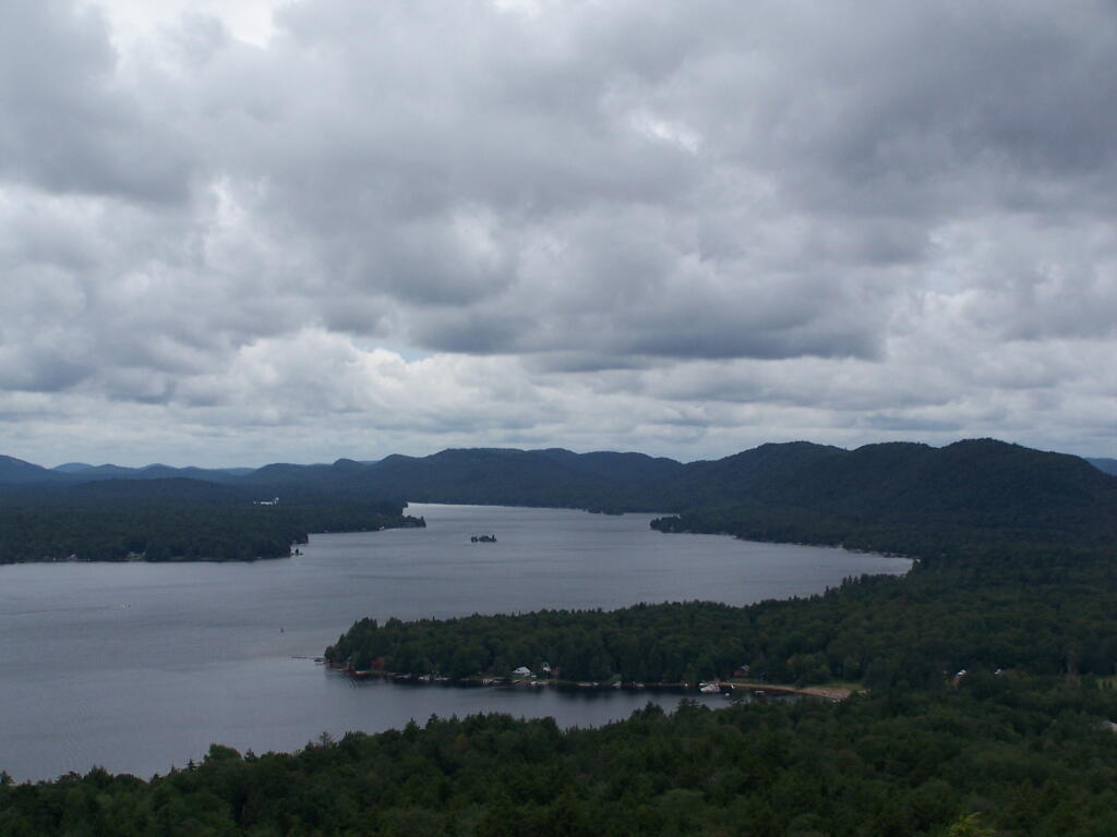
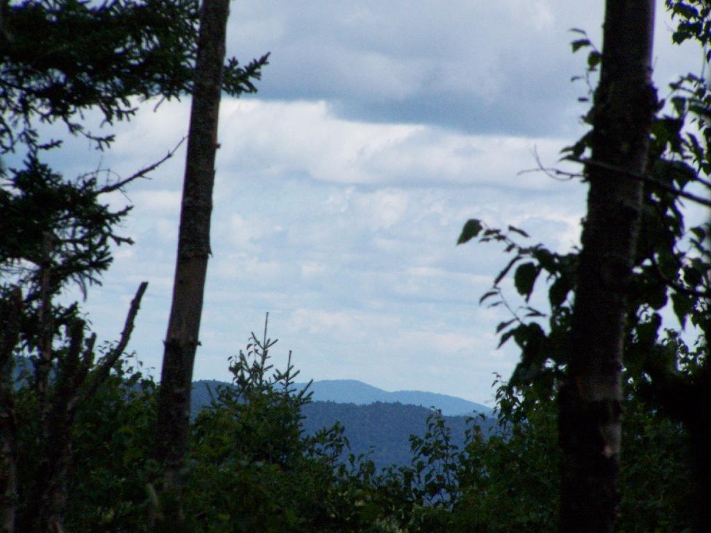
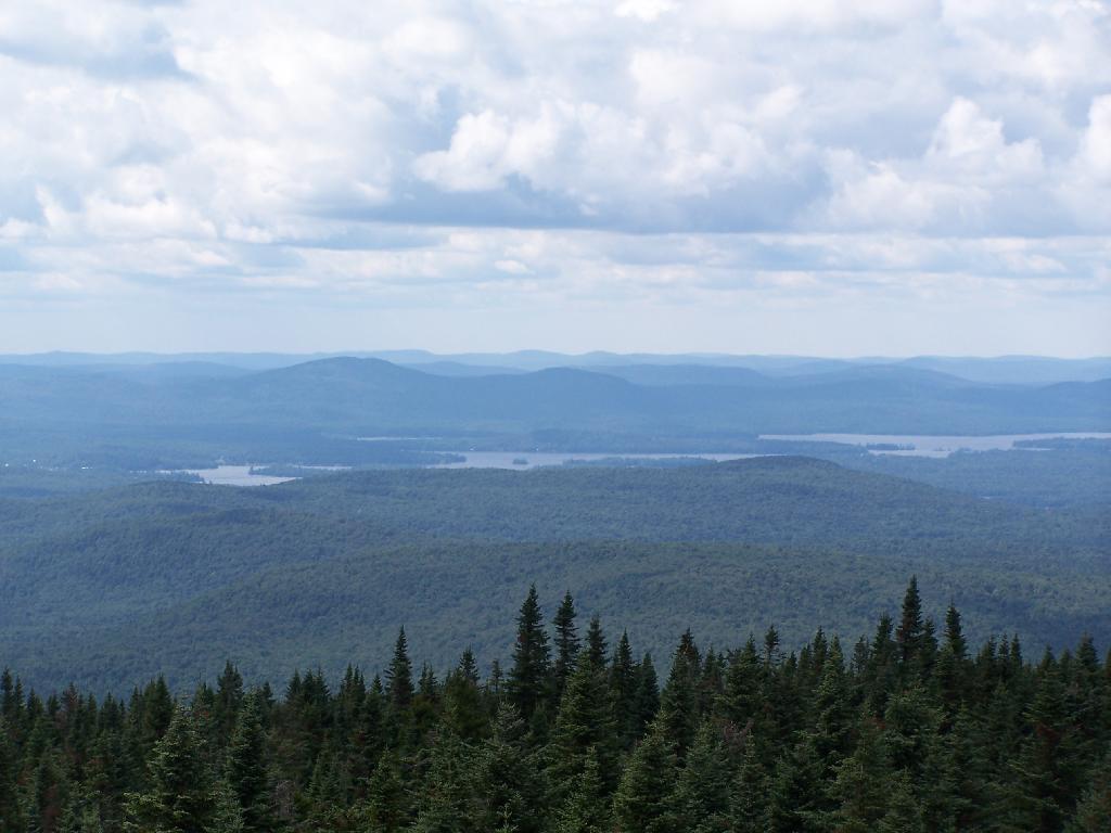
The views off Rocky Mountain are somewhat interesting, but not spectacular as those from Rondaxe just a little ways down the road. Forth Lake is the closest lake, and the one you get the best view from her.
You have many good views of NY 28, such as this one widing down southernly toward Eagle Bay.
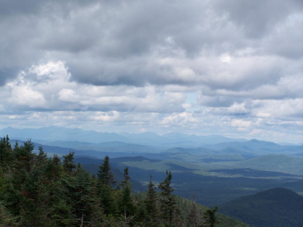
A top Rocky, you can see how this mountain got it’s name.
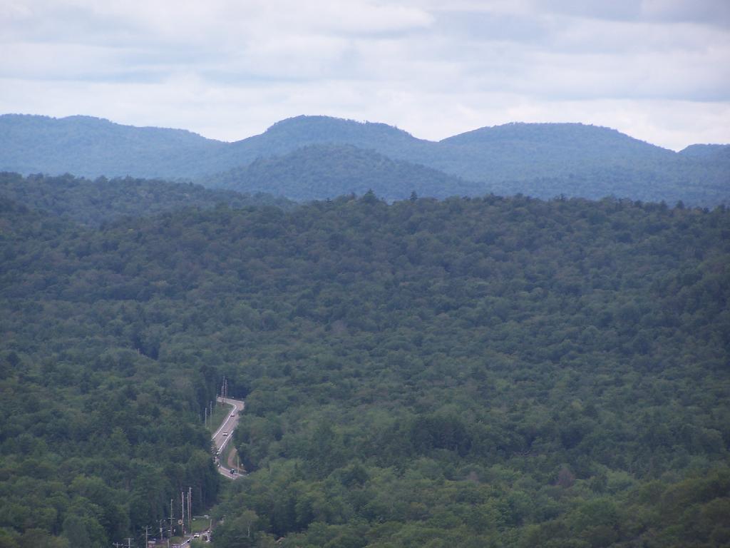
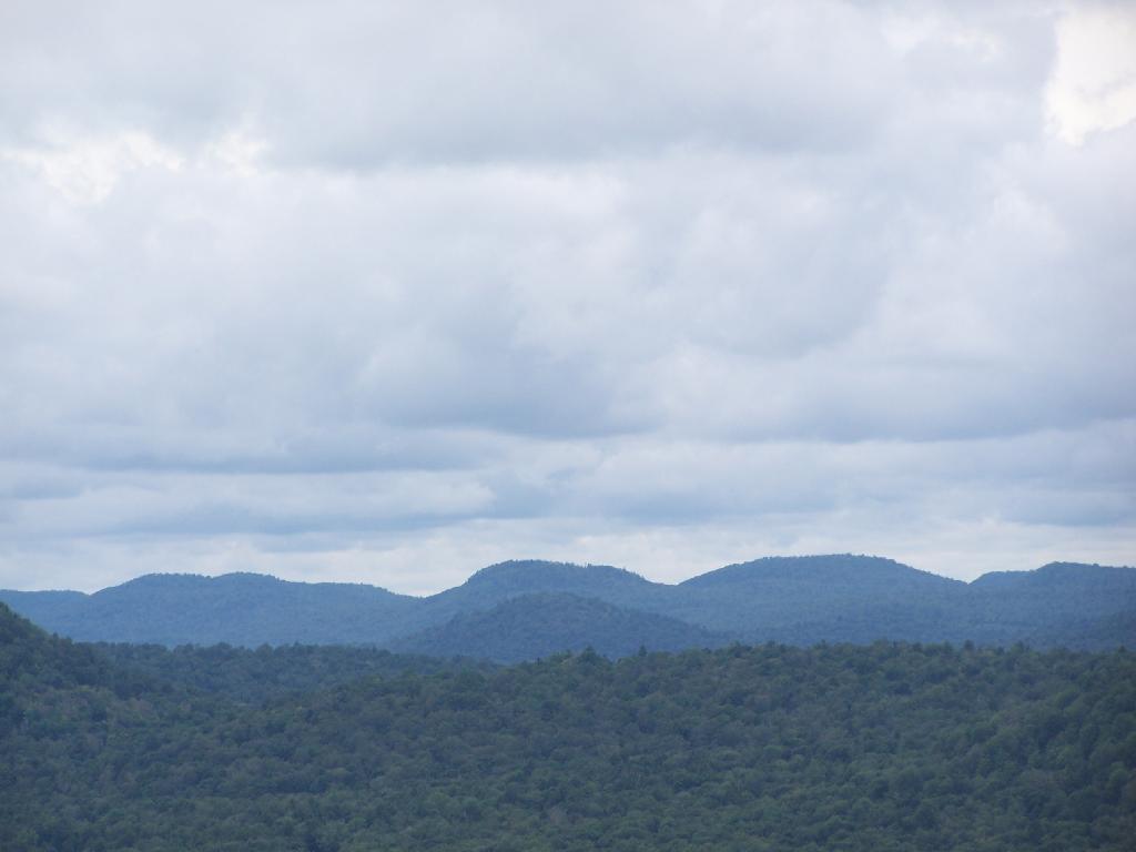
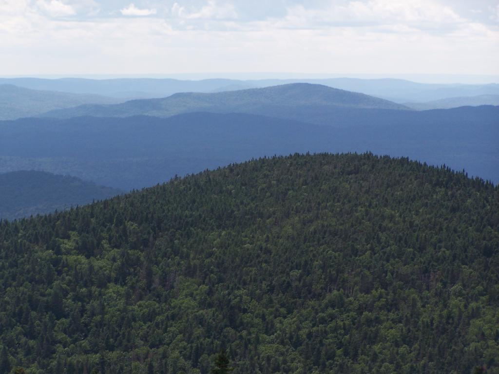
The ridges in this part of the Adirondacks, remind me a little bit farther south around Good Luck Cliffs and NY 10.
parking lagoon – a place for the temporary disposal of private automobiles in urbanized areas while folks shop, work, recreate
Ever since the start of the automobile age, we have been building parking lots, or as James Howard Kunstler and some of the environmentalists like to call them in a deriding fashion, parking lagoons.
Parking lagoons are large fields paved over with asphalt, designed to allow people to park large amounts of automobiles while they enage in their day to day business. Rather parking along on the street, and requiring people to potentially walk a few blocks, parking lagoons create consolidate parking.
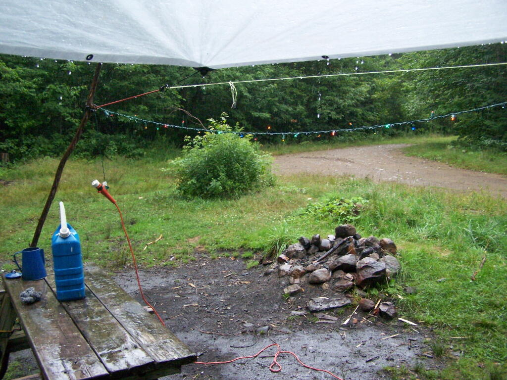
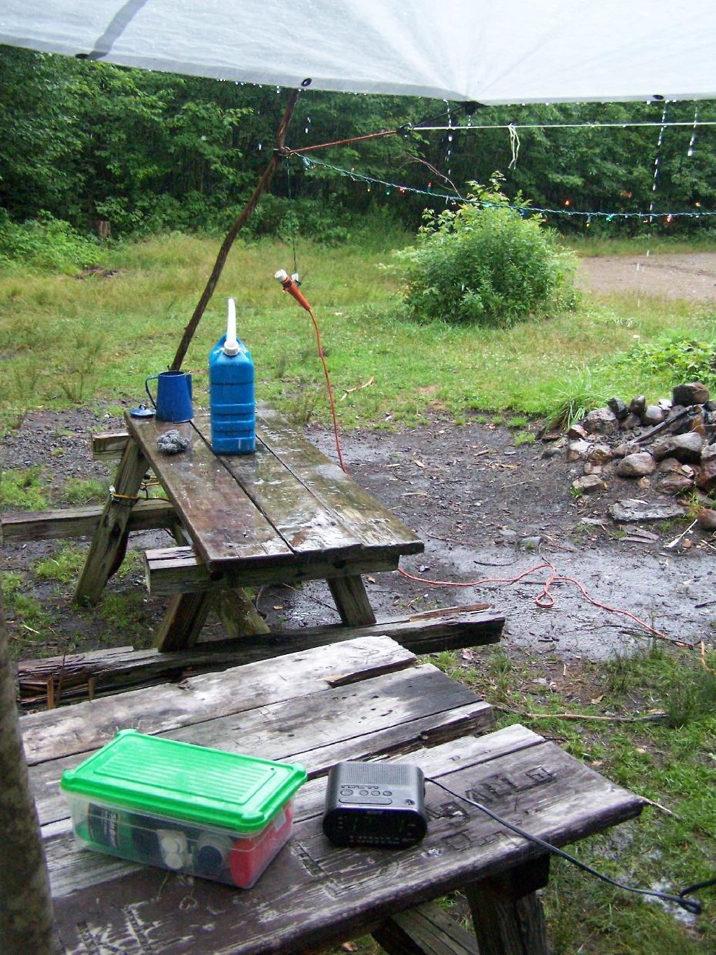
I had originally planned on exploring Moose River Plains, on Friday July 23 during my vacation. It however rained and rain, and I had to hide out under the tarp the whole time. So I spent most of the day camping out and reading.
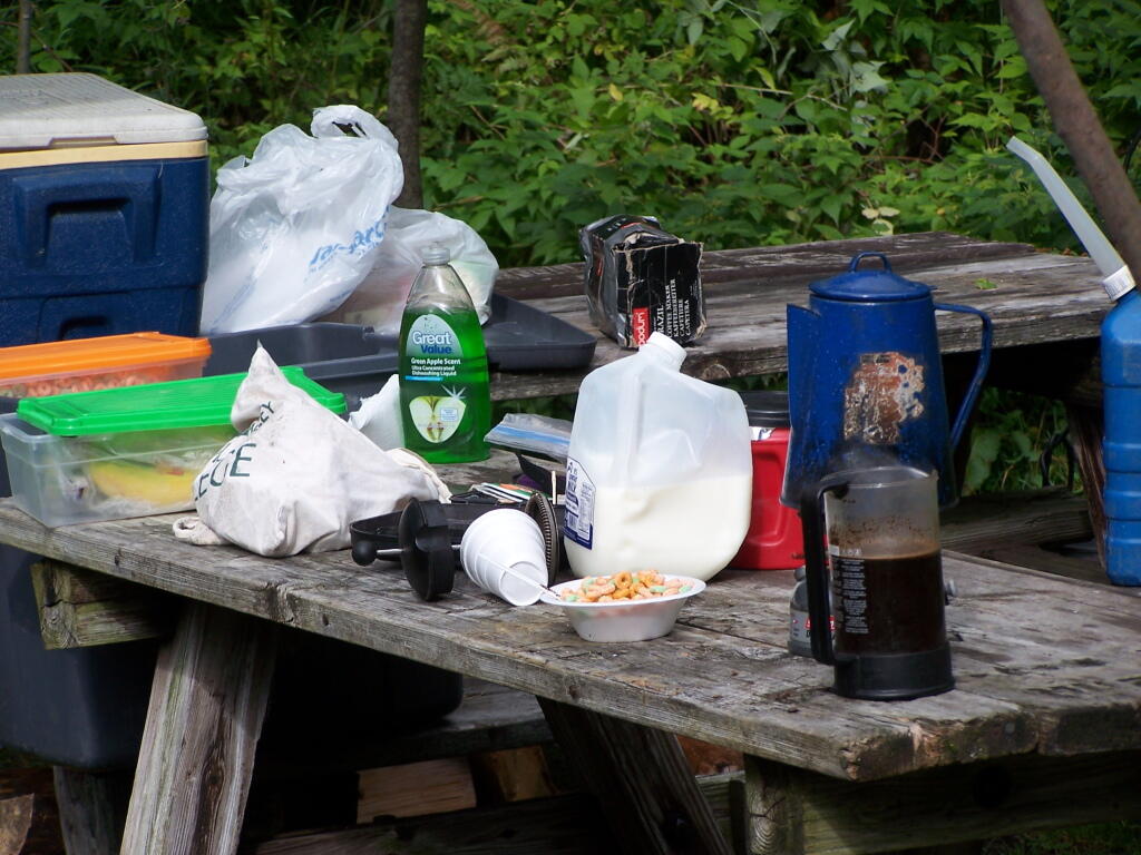
Getting Breakfast Ready. Yes, I have lots of cheap trashy plastic crap that I use for camping. And I use styrofoam bowls and plastic silverware as much as possible, because clean up only involves using some matches and a fire.
Cearel in Plastic Box. I stored all of my food in these 10 plastic boxes that I got at Walmart for $10. It helped things from getting all smashed up, and made organization much easier.
It just poured and poured. It was a real rainy Friday. I ended up driving down to Indian Lake to buy some more ice and food, and to check the internet.
I spent a lot of time listening to radio in the rain and reading books.
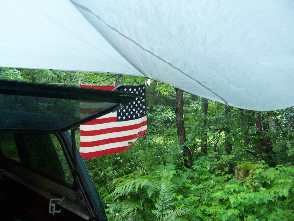
After a while, all the rain started to make the tarp sinks due to the wet. Eventually, even the Christmas lights shorted out.
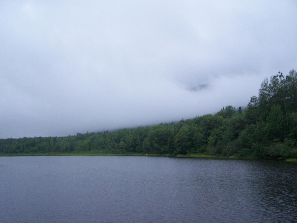
But by evening, things started to clear out at the Cedar River Flow. It was refreshing after Friday’s long day of rain.
That was Day 3 at Cedar River Plains. It was wet, but nice to take a quiet break for a while.
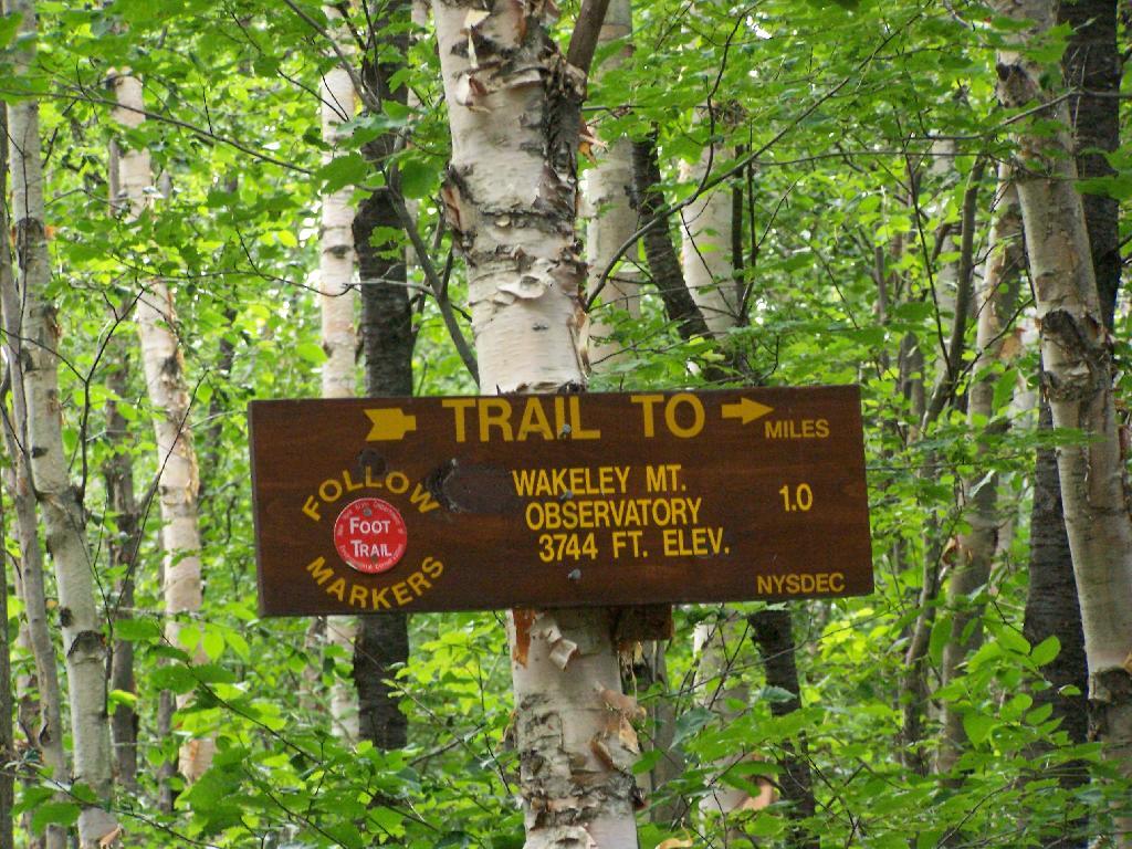
On the afternoon of Thursday July 22nd I hiked up to the Wakley Mountain Firetower. The weather wasn’t perfect, but it was still quite popular, passing several hikers and families visting this tower. The views are pretty good, but probably not as good as Pillsbury Mountain or Snowy Mountain to the south. The nice thing is it’s a 5 minute drive from Cedar River Flow and pretty close from Moose River Plans too, and provides a great overview of the Plains.
You can print the above map, by clicking it, to be taken to a high resolution (500 DPI) that will print nicely on a laser or inkjet printer.
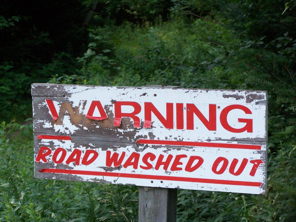
When you first start up the mountain, you pass a “Warning! Road Washed Out” sign. This sign is at the parking area for Wakely Mountain, to warn drivers that they won’t get very far on Wakely Mountain Road, since the DEC has basically abandoned it.
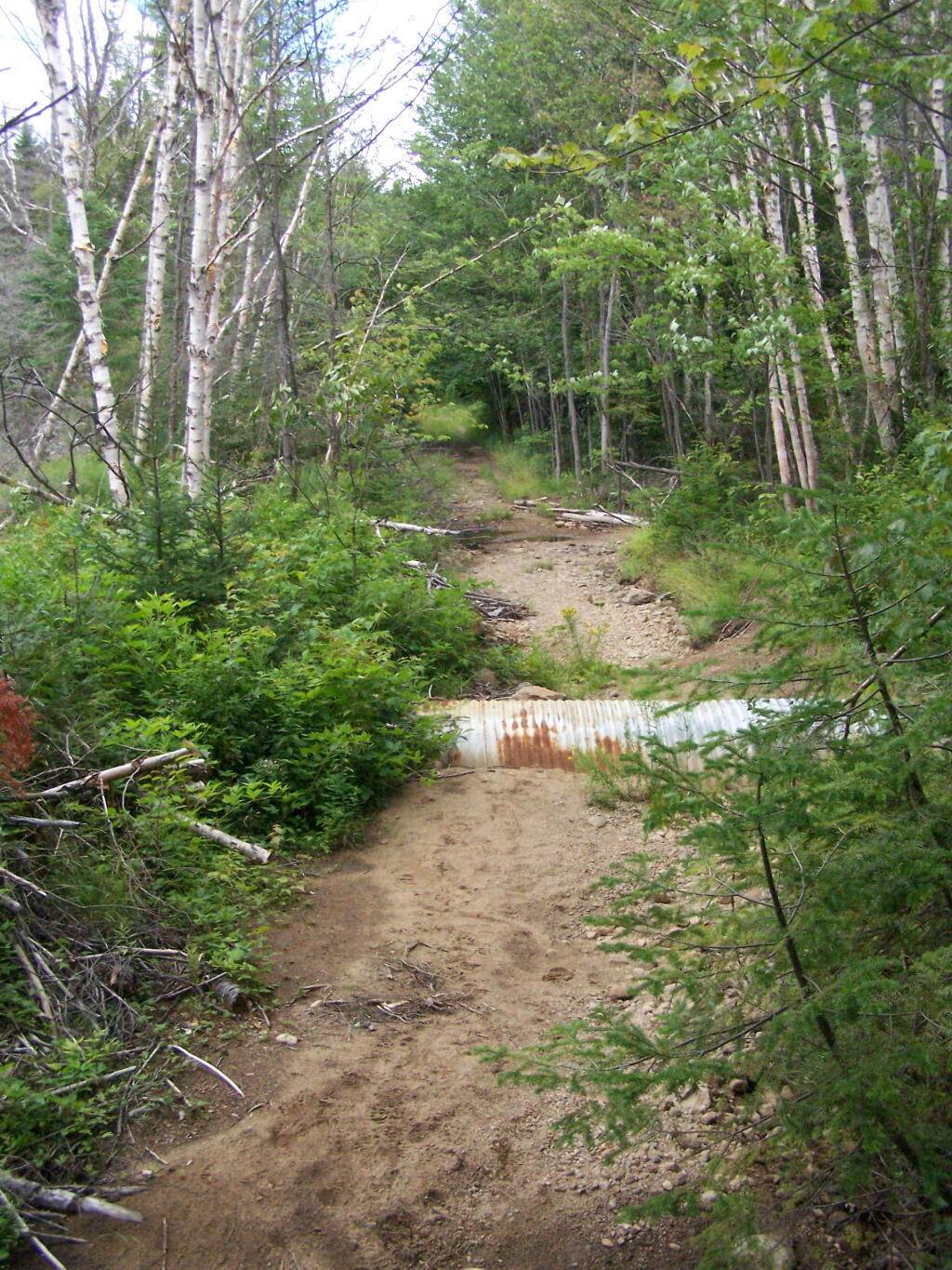
Washed Out Road to Wakely Mountain. I honestly don’t expect the DEC to fix this road, but instead will make people walk the entire 3 miles up the mountain, because that keeps the eco-facists happy.
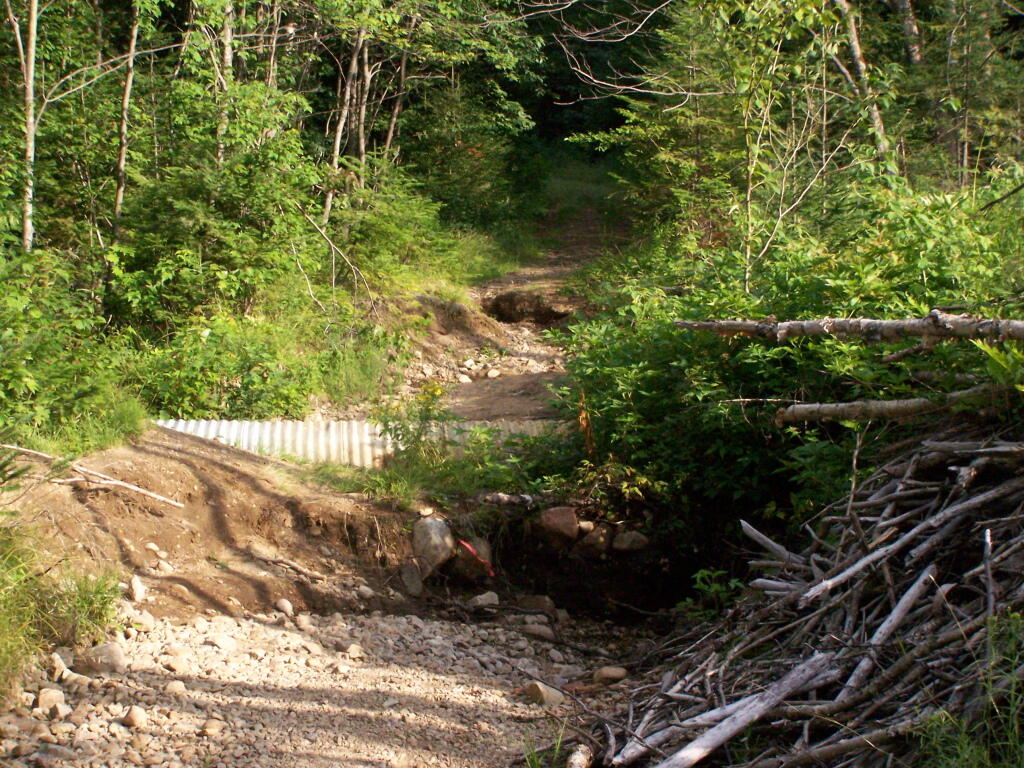
The End of Wakely Road. That said, you’d be hard press to get a vehicle this far, due to the wash out at the earlier marsh.
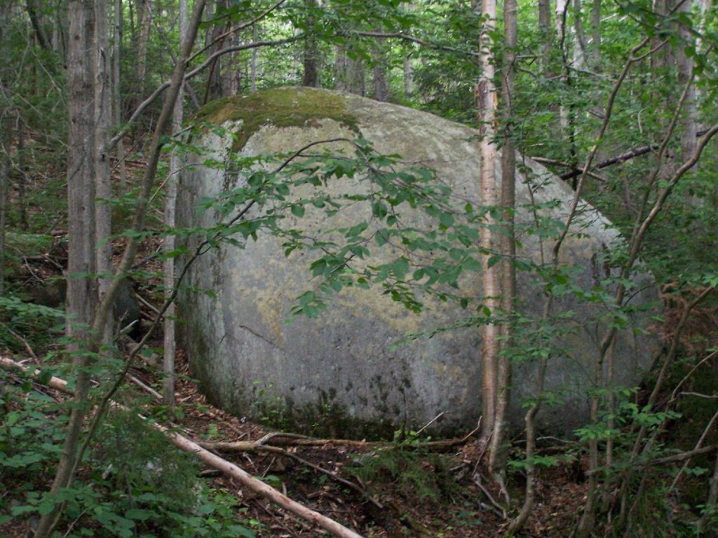
As you climb, you pass this big boulder On side of Wakely.
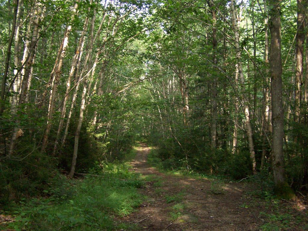
The first two miles of the trail are pretty flat, a small incline that increases above 400 feet in elevation over two miles.
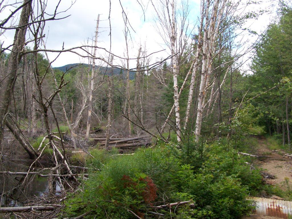
Marsh Along Wakely Mountain Trail. That’s Payne Mountain, not Wakely Mountain in the background.
The Final Mile. You might think the previous two miles of the Wakely Mountain trail where easy, rising maybe 300 feet, until you hit the last mile, as indicated by this sign. It’s another 1200 feet on up for that last mile.
The trail up Wakely Mountain is badly eroded due to heavy use and neglect by the DEC.
The last mile up Wakely Mountain is a long one, especially if you start late in the afternoon as I did. You are treated with some limited views while climbing Wakely Mountain, but all and all, there isn’t a lot to see except steep trail (but no open rock face!).
Once you almost reach the top of the mountain, you come to the Wakely Mountain Helipad. This is used by emergency responders, providing quick access to the top of mountain, to either access the tower for observation, or to help those injured on top of the mountain.
Next to helipad is a trash pile. I was wondering how this trash ended up top of the mountain, but after thinking about it a bit, it probably was trash from the ranger’s cabin, that was dumped here some time in the past, and was dug up in the re-construction of the helipad.
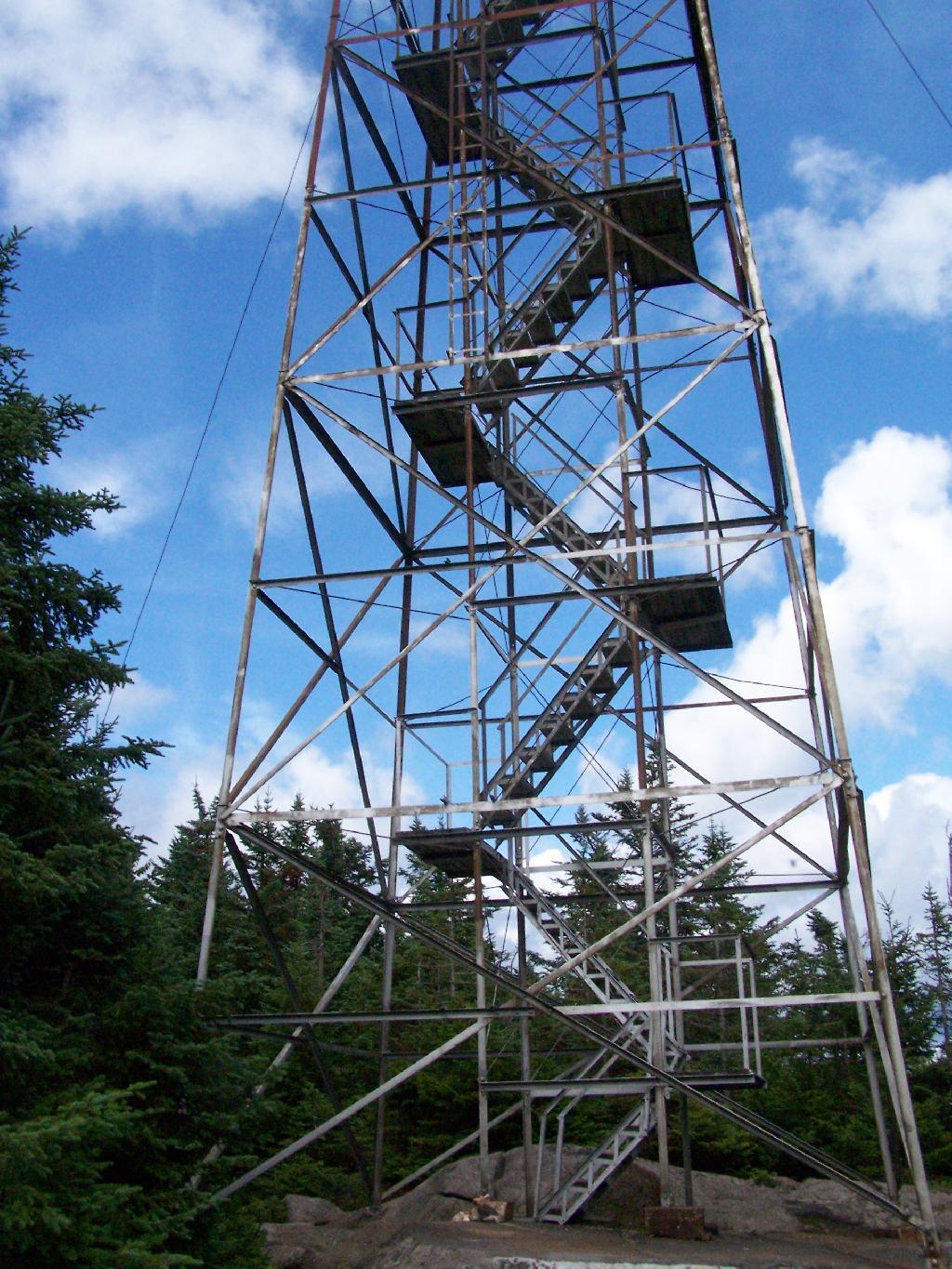
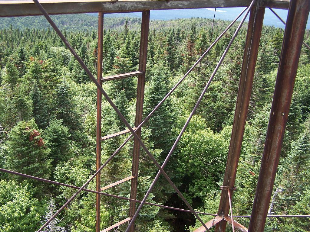
Eventually you reach the fire tower, about a 500 feet from the Helipad. The Wakely Fire Tower is an interesting Aeromotor LS 25 tower, that originally lacked a staircase, but was added in the form of an internal ladder, for the convience of hikers and the fire warden alike. Prior to the 1919 addition of the “stairs tower within the fire tower”, you had to climb a ladder on the side of the tower, to get all 60 feet to the top of the tower.
Here is the original ladder you had to climb. They removed the lower flights to discourage people from trying to use the ladder, although the stairs themselves also lack any safety fencing, so it’s a bit scary if your not used to climbing towers.
A close up over the tower within the tower.
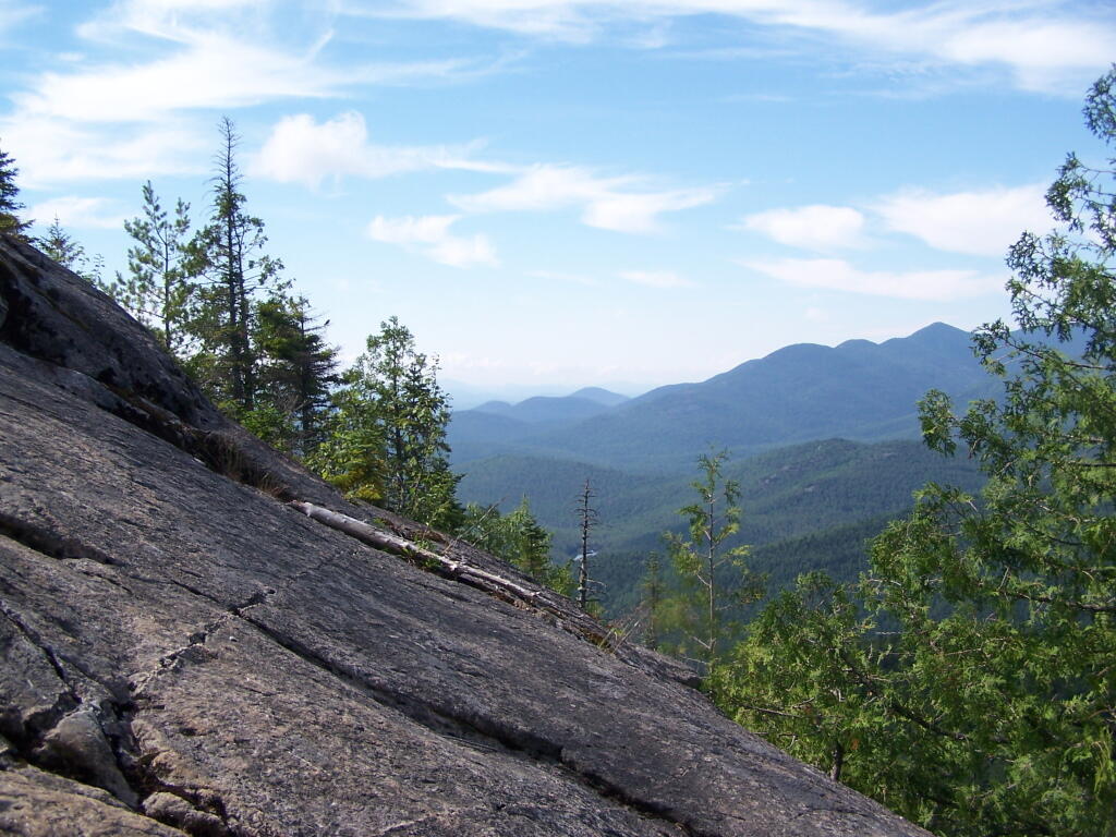
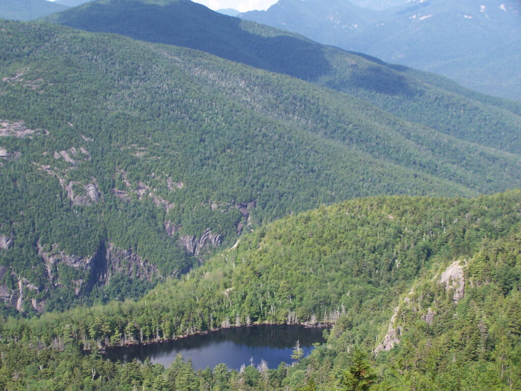
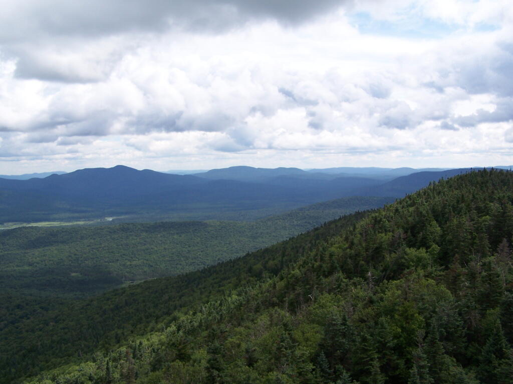
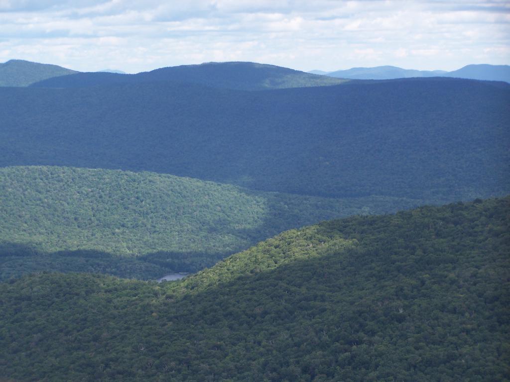
The firetower presents one with spectular views of the upper Moose River Plains, from the marshy end of Cedar River Flow to the Lost Ponds area, to around Wakely Dam and Wakely Pond.
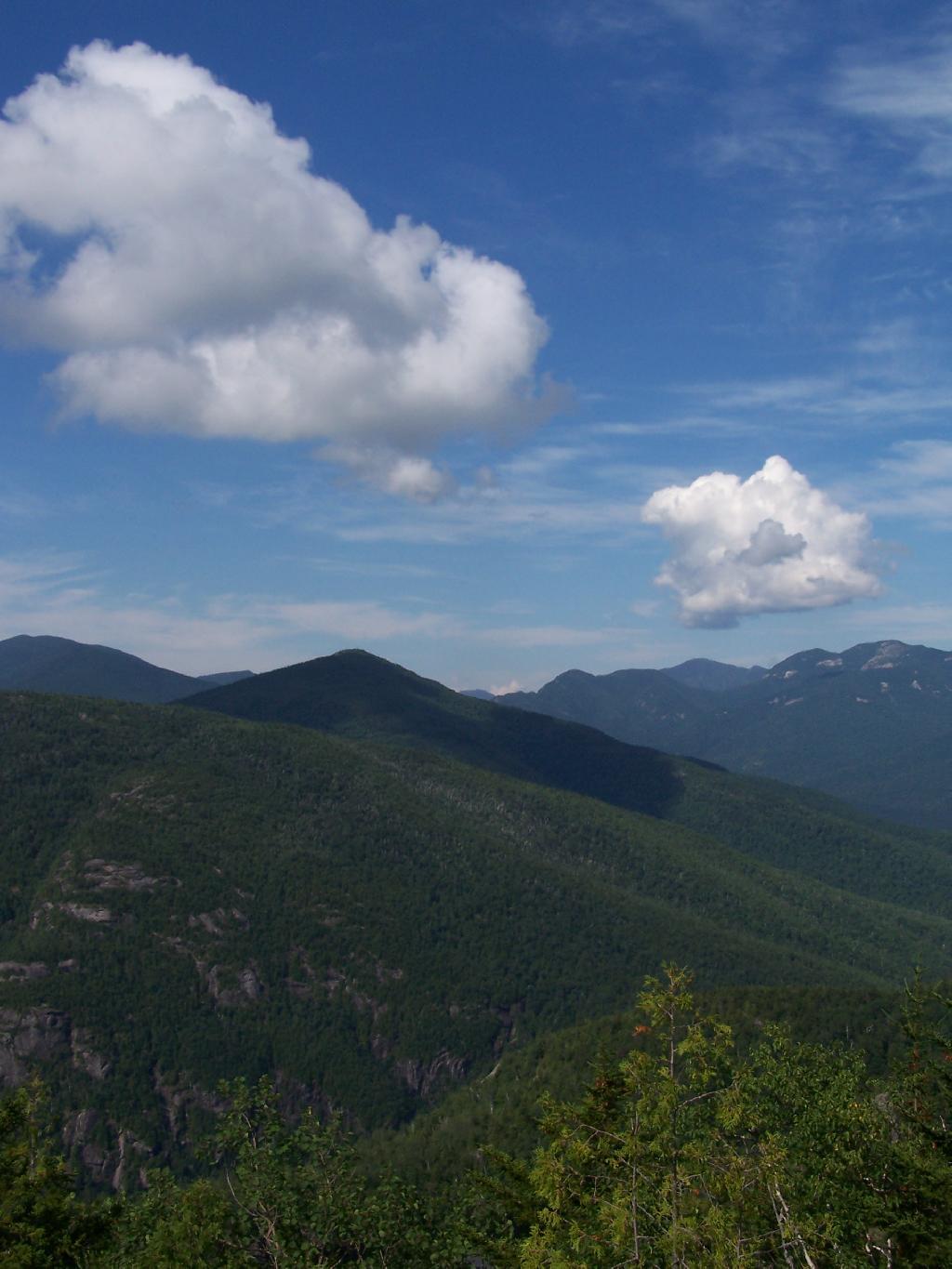
To the east is the Blue Ridge Wilderness and Blue Mountain.
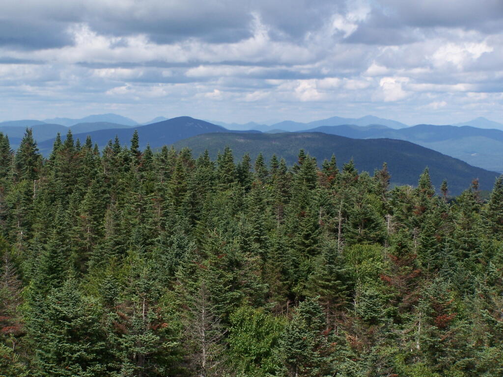
Looking down towards Indian Lake from the Fire Tower. There are many beautiful peaks to the south east.
You can also see the High Peaks from Wakley Mountain.
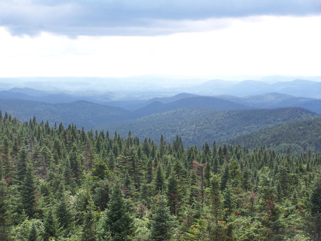
And the Fulton Chain of Lakes.
Cellar Mountain somewhat blocks the views to the west, as you look down to the plains, towards the ridges that follow along the NY 28 Corridor.
The tower’s foundation sadly is in bad shape and needs work. The cabin of the tower is also only accessible via ladder, if your crazy enough to do that. It lacks safety fences on the various landings. Hopefully the state will find the funds and resources to restore this beautiful and popular tower, even though it’s likely to be expensive due to the need to use to Helicopter in supplies and possibly ironworkers to restore it.
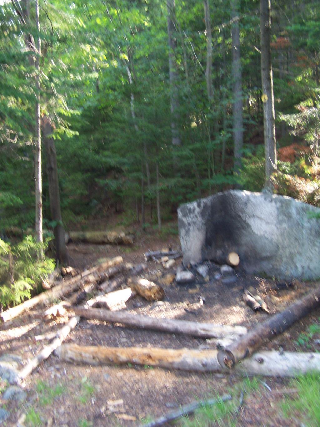
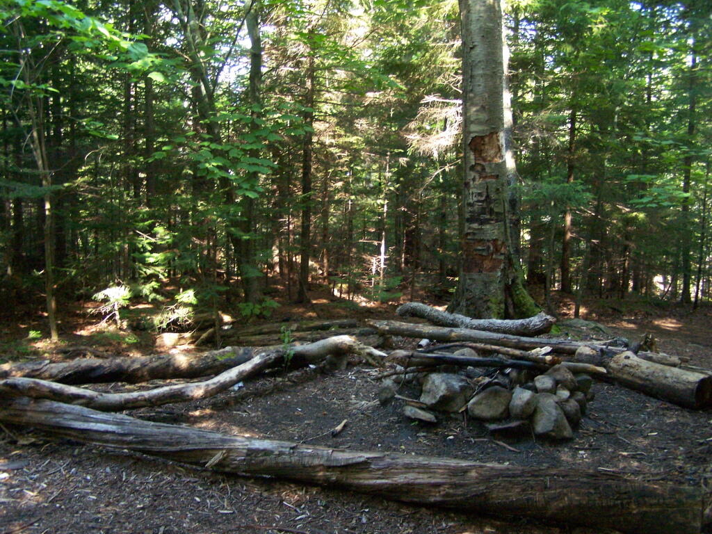
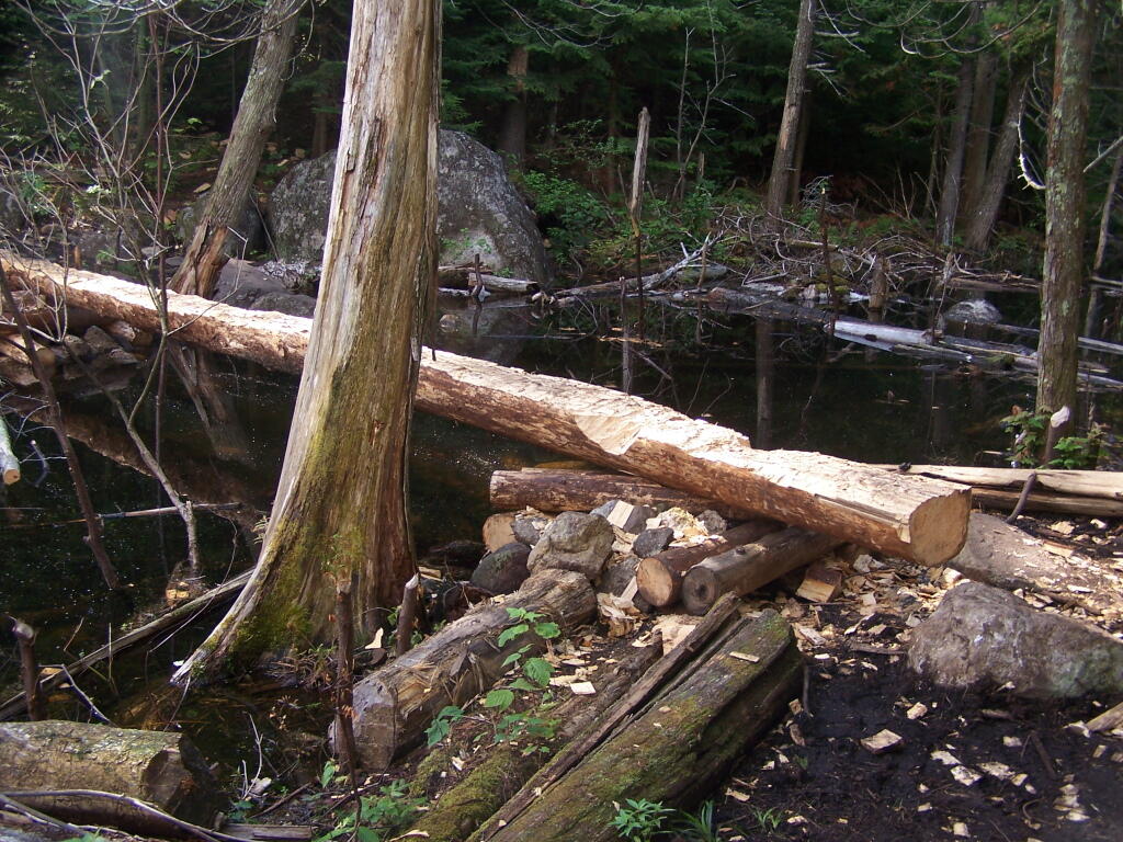
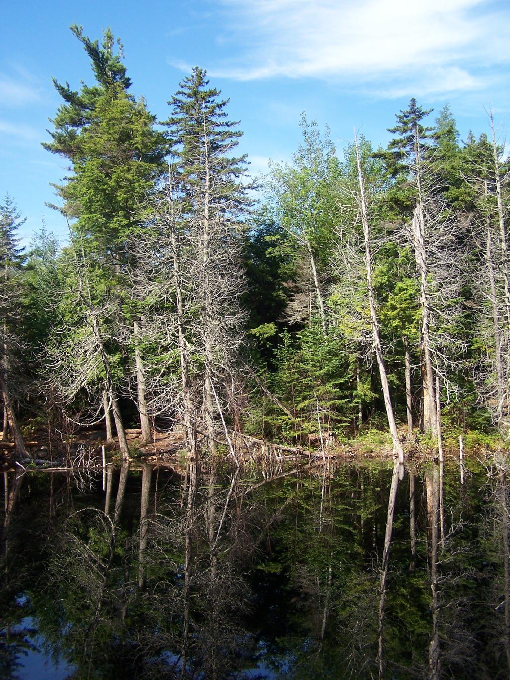
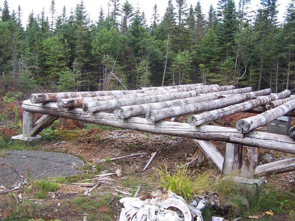
The Cedar River Flow at Moose River Plains has 10 roadside campsites along with an Assembly-area. It is popular for kayaking, camping, and exploring nearby mountains and trails such as Wakely Mountain. There are also about 20 campsites that you can paddle in along the lake, and over 150 campsites located up in Moose River Plains, a 30-60 minute drive up a rough dirt road from here.
You enter via Cedar River Road.
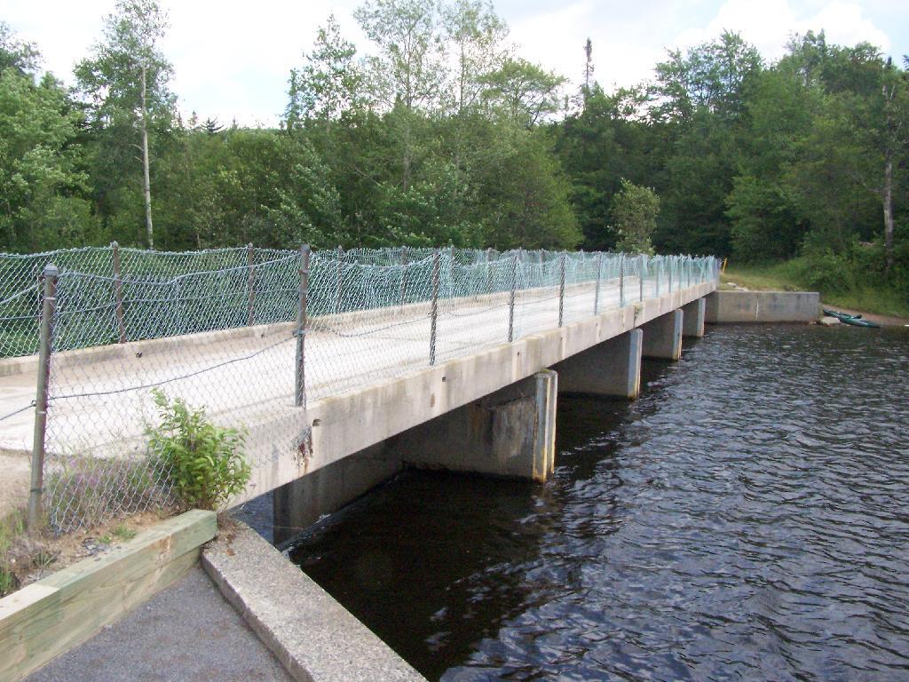
Half of the campsites at Cedar River Flow are located across the Wakley Dam.
Wakley Dam Bridge. It looks fairly secure. Heck, people drag their big fifth-wheel RVs across this bridge all the time, so it has to be pretty sturdy.
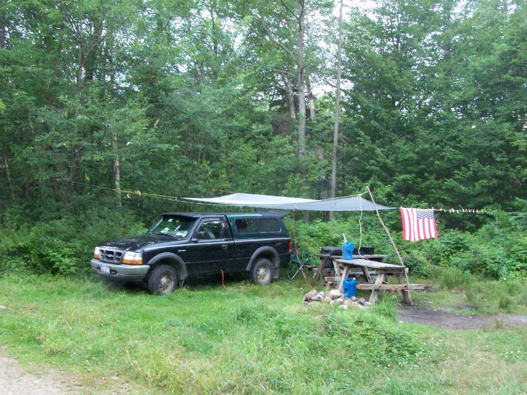
I camped out at Campsite No 9.
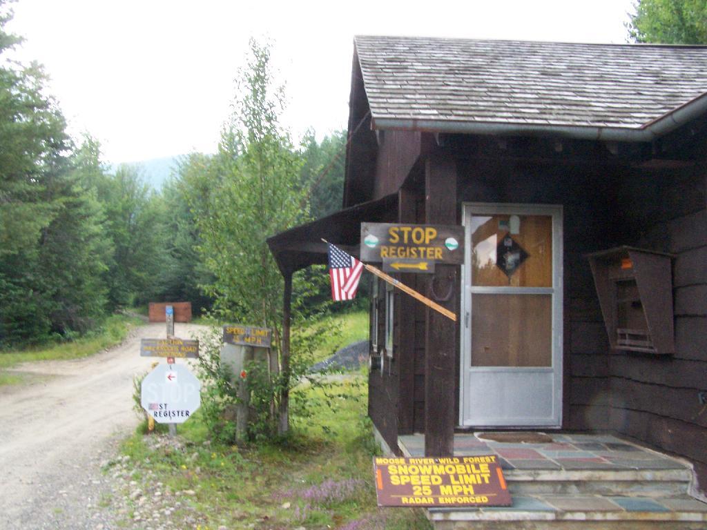
At Cedar River Flow is the Entrance to Moose River Plains, where you have to register your vehicle in case you get lost or your car or truck is otherwise found abandoned.
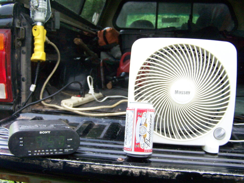
Sitting back and having a beer at Moose River Plains in the afternoon.
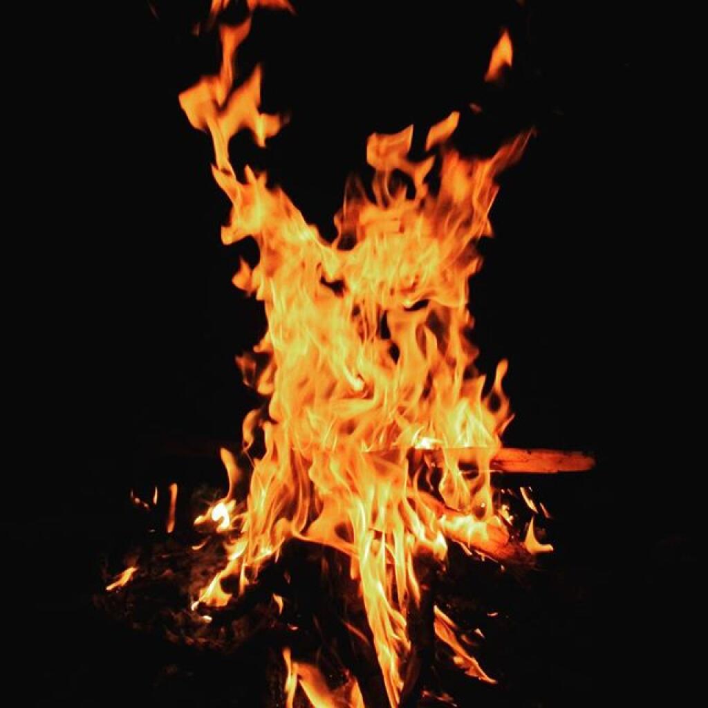
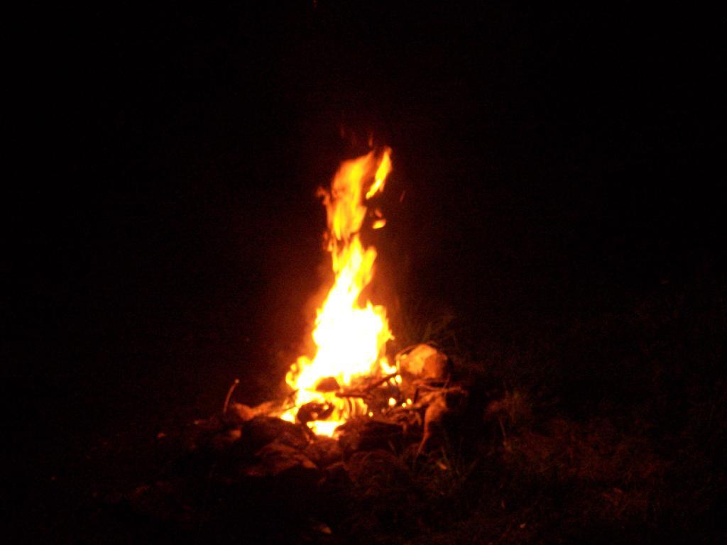
A big ass Campfire. Sigh!
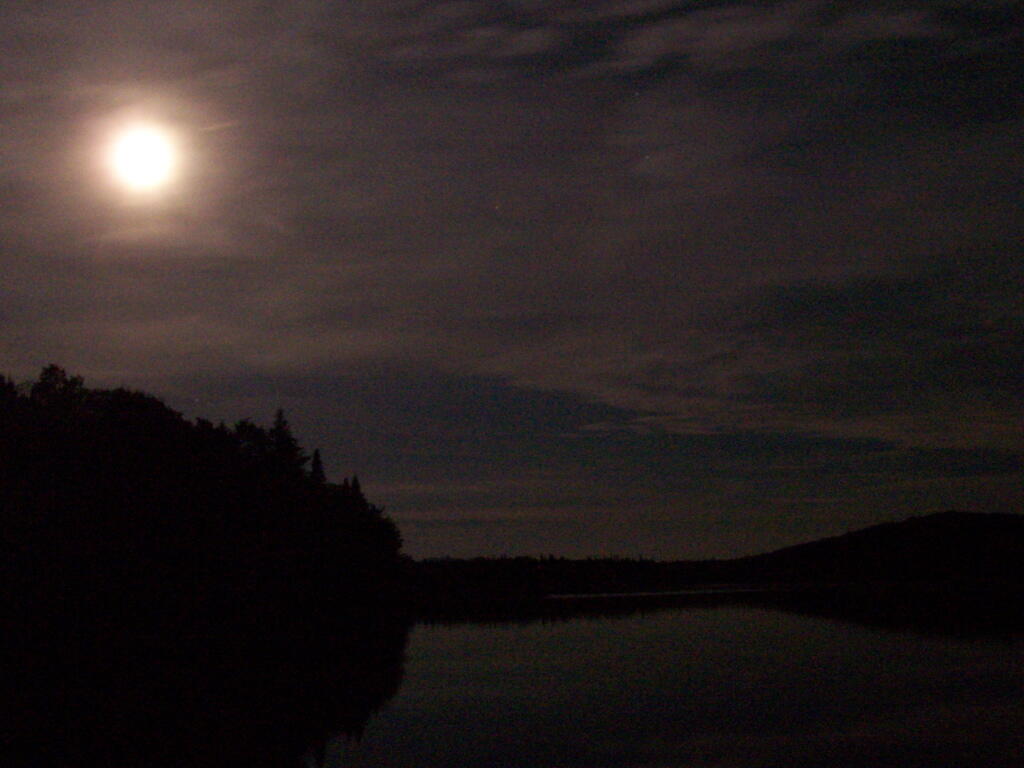
One of the neat things is walking out on Wakely dam at night and looking up at the stars. Here is moonlight on Cedar River Flow.
Here is a map of the Cedar River Flow. The camping area is located on the Northern End by the dam.
The problem with “peak” theories is they ignore the law of supply and demand. As one learns in Economics 101, everything has a demand curve, which shows that as price rises, demand for a product declines. People look for alternatives when prices increase.
This curve is known as the price-elasticity coefficient, and is calculated by the “percentage change in quanity demanded of product x” divided by “percentage change in price of product x”. Some products are considered fairly elastic and other more inelastic, depending on how subsitutable one product is with another one.
Higher prices change both consumer choice and behavior. People will for and foremost look for alternatives. If no alternatives are avaliable, people will alter their use of a product, such as adopting more efficent techniques of use of a product, and then ultimately reducing consumption by choosing alternative methods of living that use less of a product.
For example, gasoline.
If gasoline prices go up, and people believe that gasoline prices will remain high, they will look at alternatives to gasoline, like E85 ethanol or gasoline made from sythentic petroleum. If that doesn’t work, they will over time purchase more fuel efficent cars, canceling car trips, taking public transit, and moving closer to where they work.
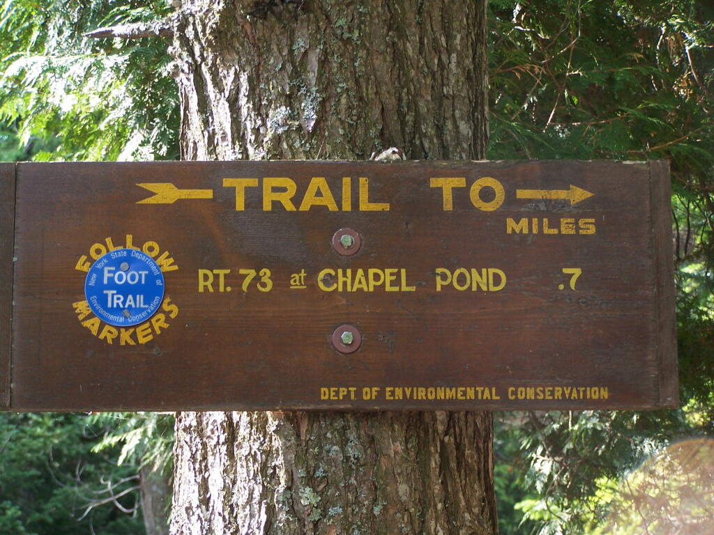
About three weeks ago I decided I wanted to go hiking in the Adirondack High Peaks. It was my first time hiking there, and it probably will be the last time I go up there for a while, mainly because of the absurdly bad fear of heights. A 120 mile drive from Albany, it took me about 2 1/2 hours to reach the trail head on NY 73.
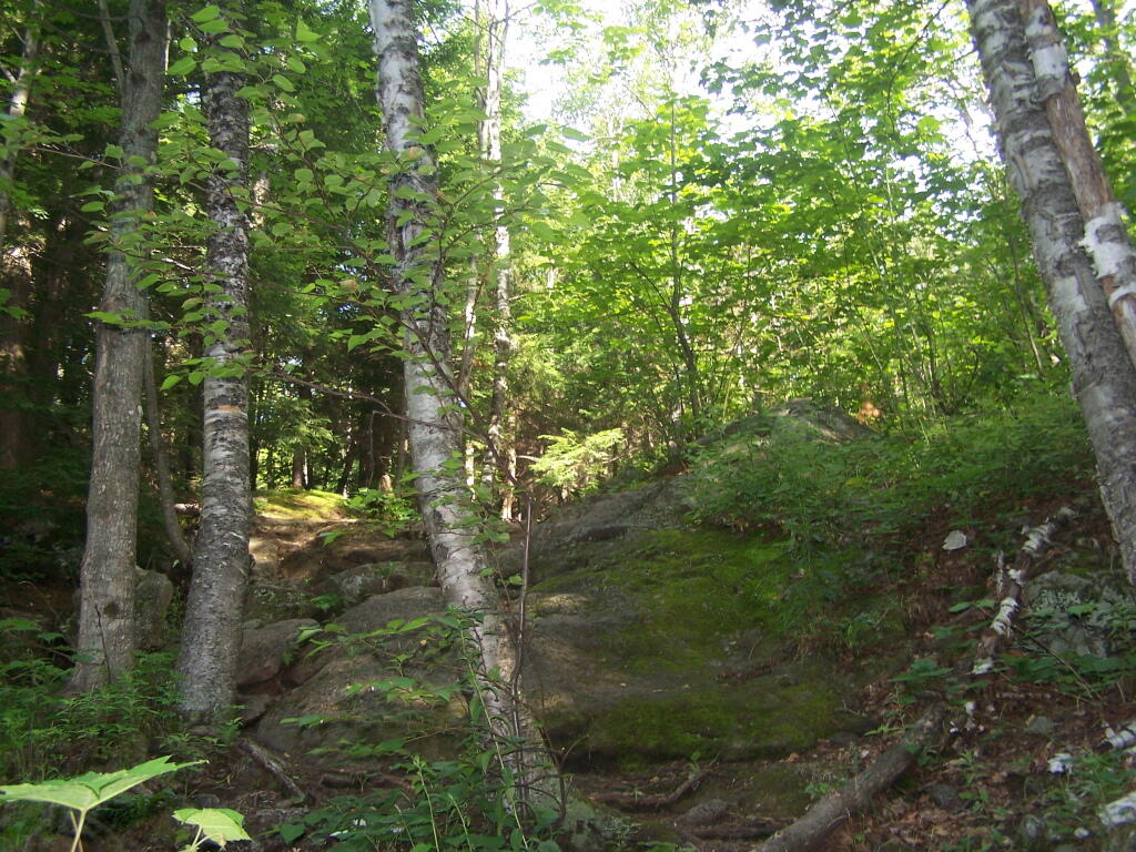
The first part of the trail is steep (as is most of the trail), but with limited views.
After 3/4 mile of a hike, it opens up to a ledge with views of the Keene Valley.
Shortly there after you reach the Giant Washbowl, a mountain pond with interesting views, surrounded by mountains.
You also get a neat view of Nubble.
There are two primative campsites along Giants’ Washbowl with no facilities except some logs to sit on.
You cross Giants’ Washbowl on a log.
With the confirous trees surrounding Giants’ Washbowl you would have no idea what season it was from this picture.
Past Giants’ Washbowl, the trail gets steeper and goes through a series of switch backs as you continue to climb.
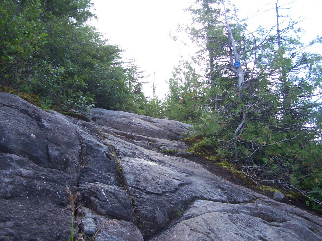
At about 2 miles the trail opens up to a series of open rock scrambles, where you walk along a ledge of sloped rocks. It did nothing for me.
Literally, the trail runs right along this sloped ledge. These open ledges just made me sick. I started to puke, with my fear of heights kicking in as as scrambled along this.
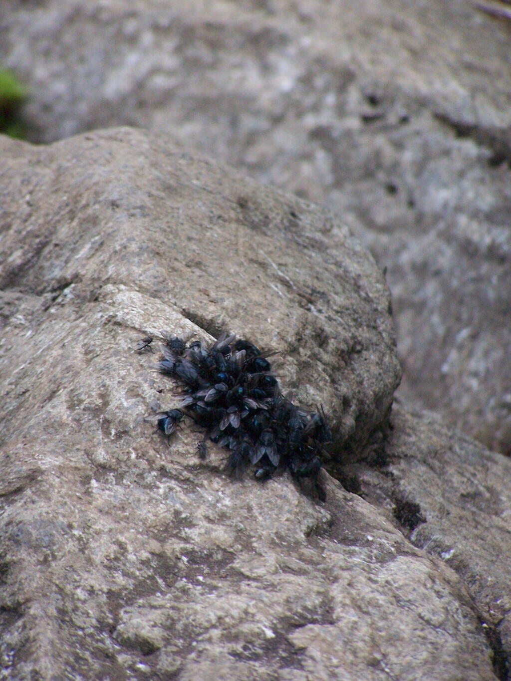
That and seeing the maggots swarming over this piece of dung right on the trail did nothing for me.
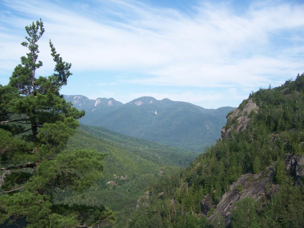
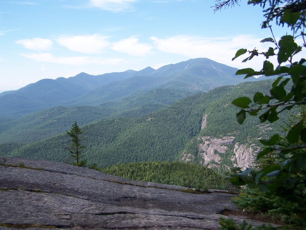
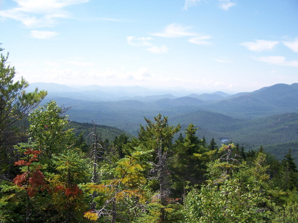
That said, the views from this ledge where spectular.
I continued to climb another 300 feet or so on the trail, when I decided to go back, but I did get a chance to get some pretty awesome pictures from up above.
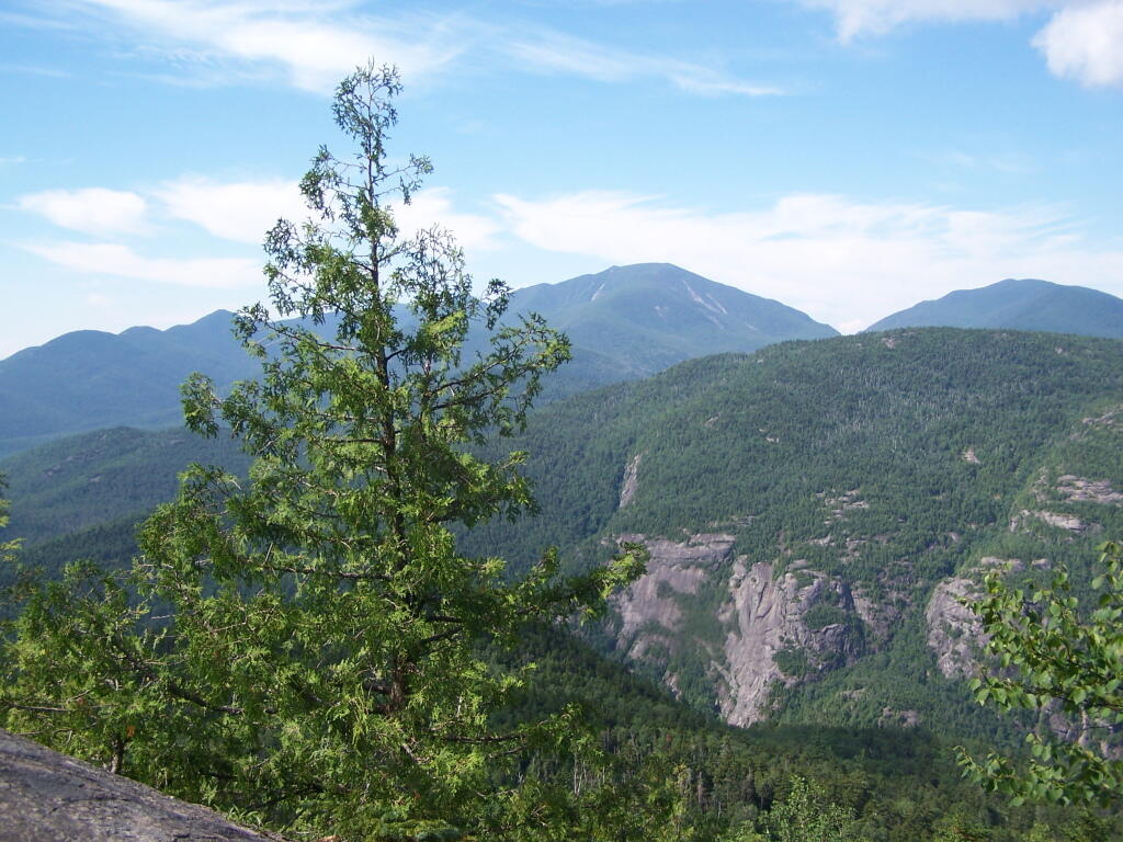
On a rock ledge, looking down at Giants’ Washbowl.
And Noomatic Mountain.
Looking South-West towards Pharoah Mountain Wilderness.
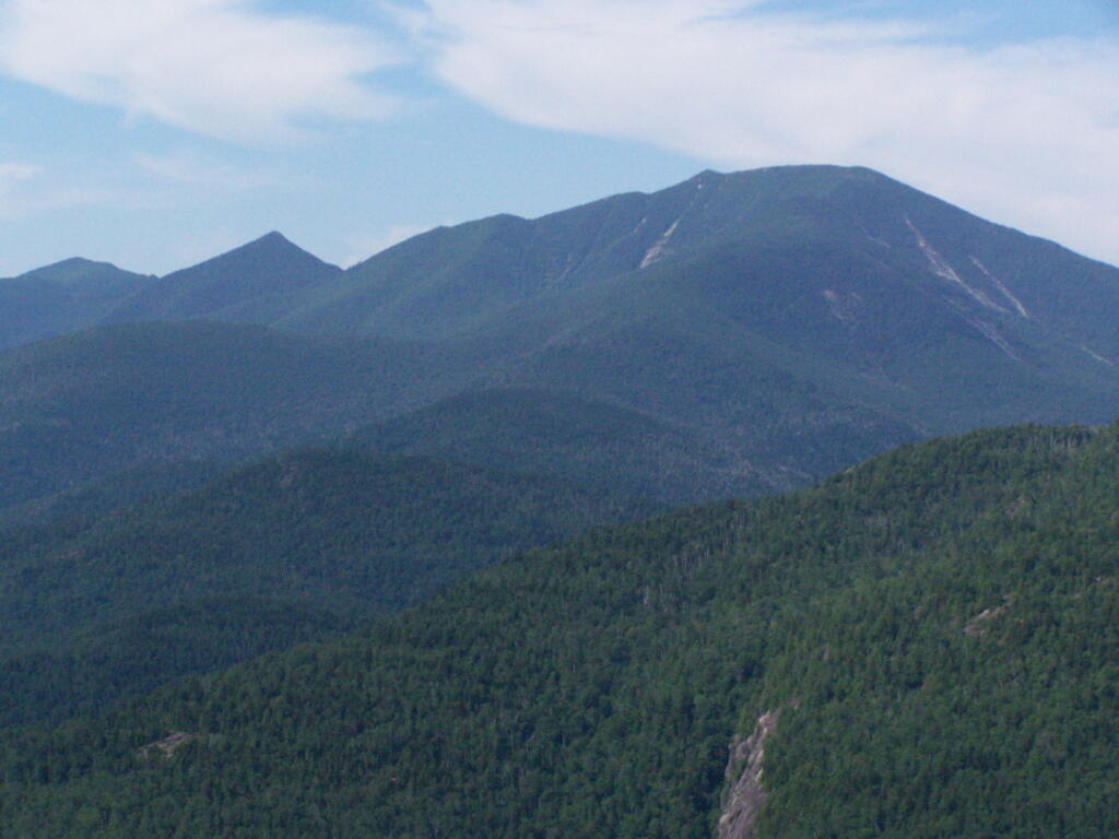
Dix Mountain and surrounding range.
At any rate, this kind of hiking did nothing for me. I decided to descend Giant Mountain, and not spend much more time in the High Peaks Range for the foreseeable future. As much as I enjoy spending time outdoors, the High Peaks with their significant ascent and the open faces just is no fun. Just writing about this mountain and looking at the pictures makes me want to barf again!

![Untitled [Expires August 22 2025]](https://andyarthur.org//data/photo_004682_large.jpg)