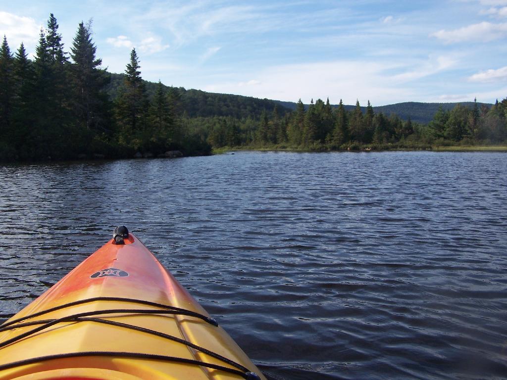
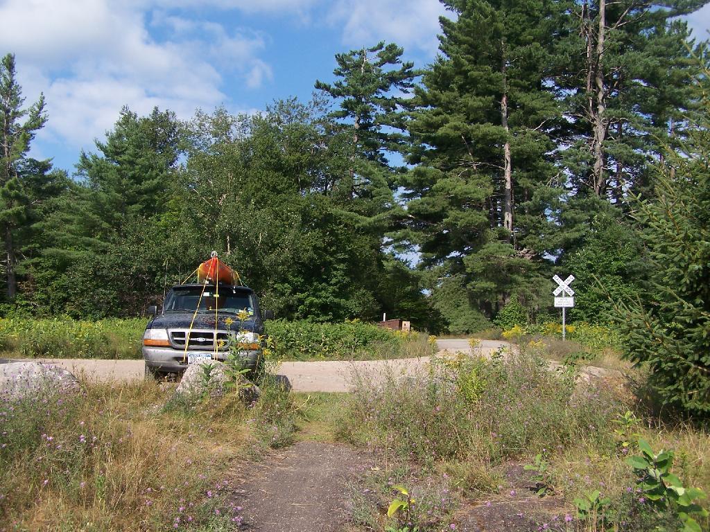
The Cedar River Flow is a 3 mile dammed up river, that provides a beautiful area to paddle around in between the Blue Ridge Hills, and other mountains that surround it. There are dozens of campsites along the lake, you can paddle on around in. On August 11th, I camped up at the Cedar River Flow Camping-area in my pickup truck, and paddled around the lake, up into the Cedar River a ways beyond the end of the flow.
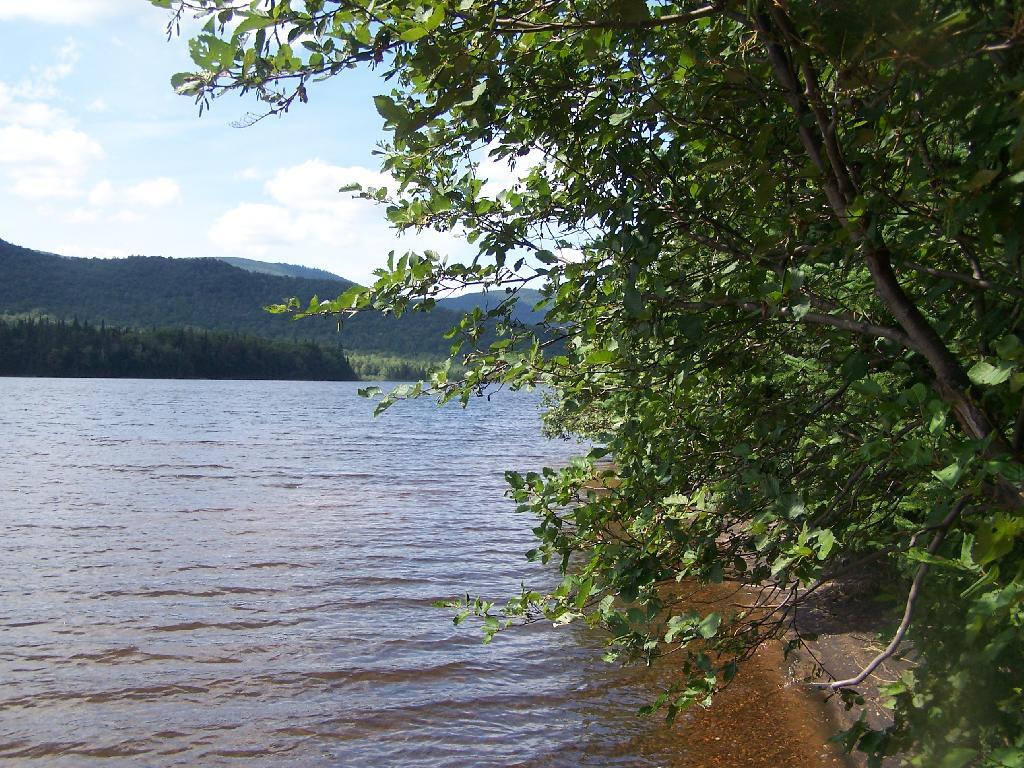
Hook Near Payne Brook. Where it enters the Cedar River Flow, about a 1/2 mile from the entrance of the Flow.
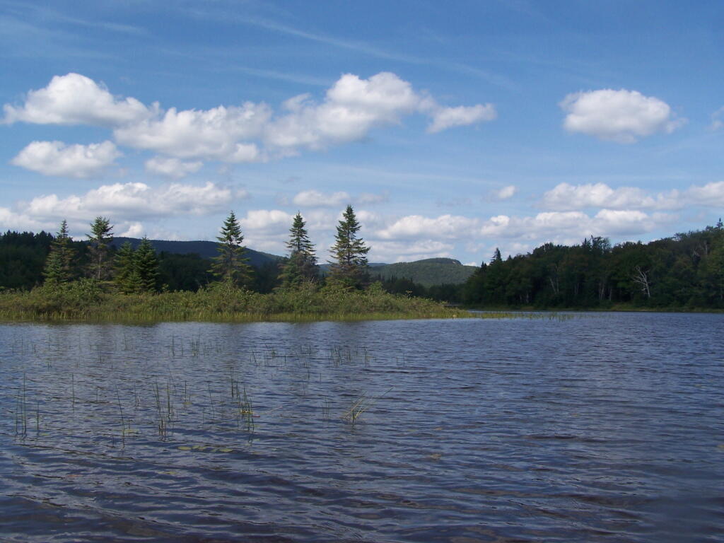
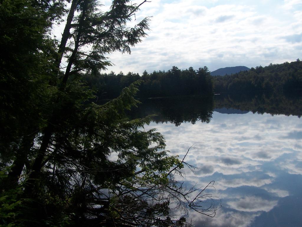
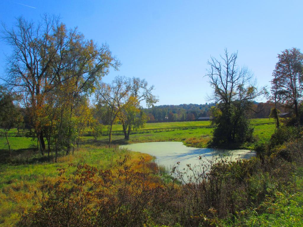
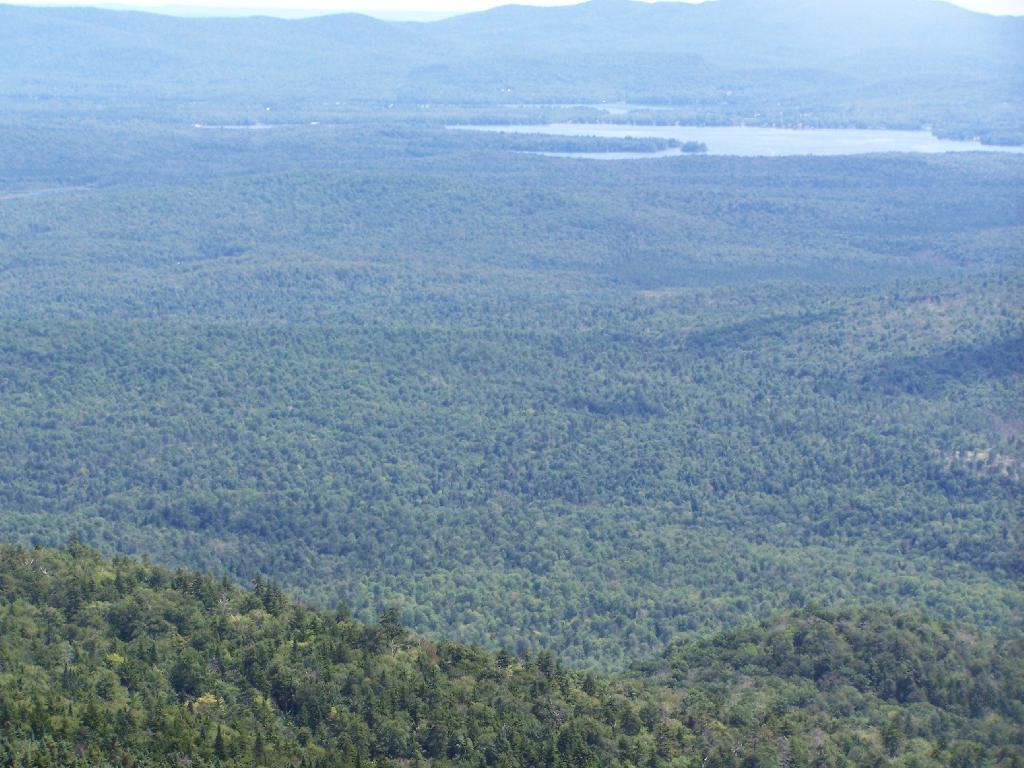
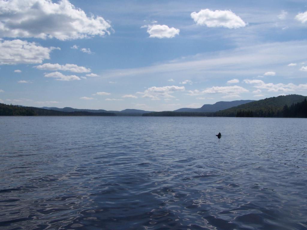
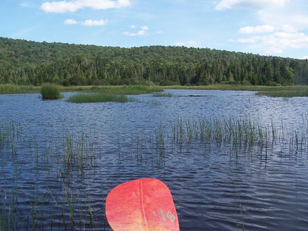
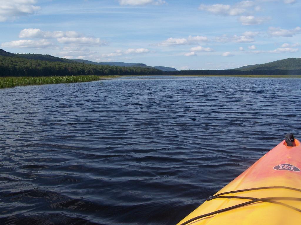
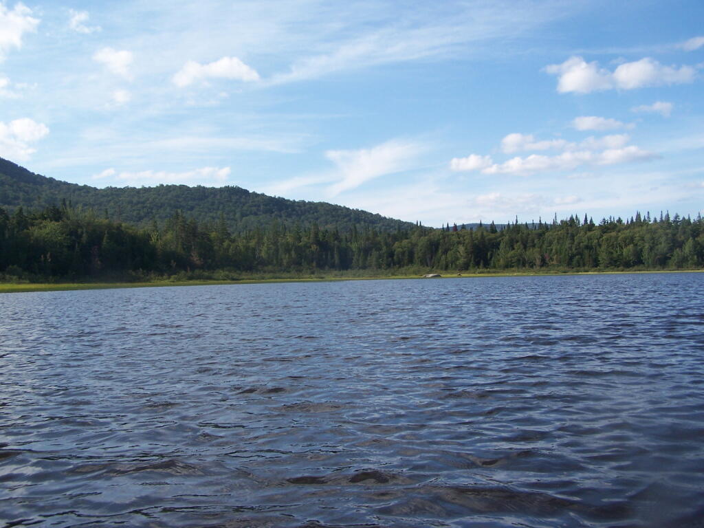
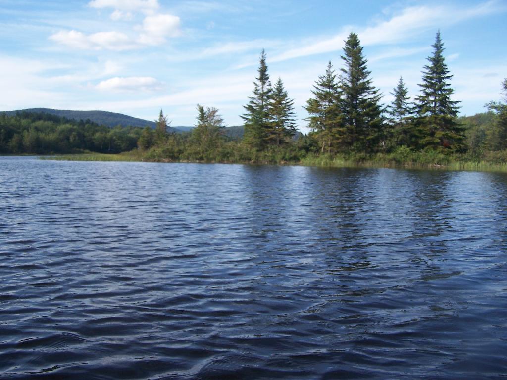
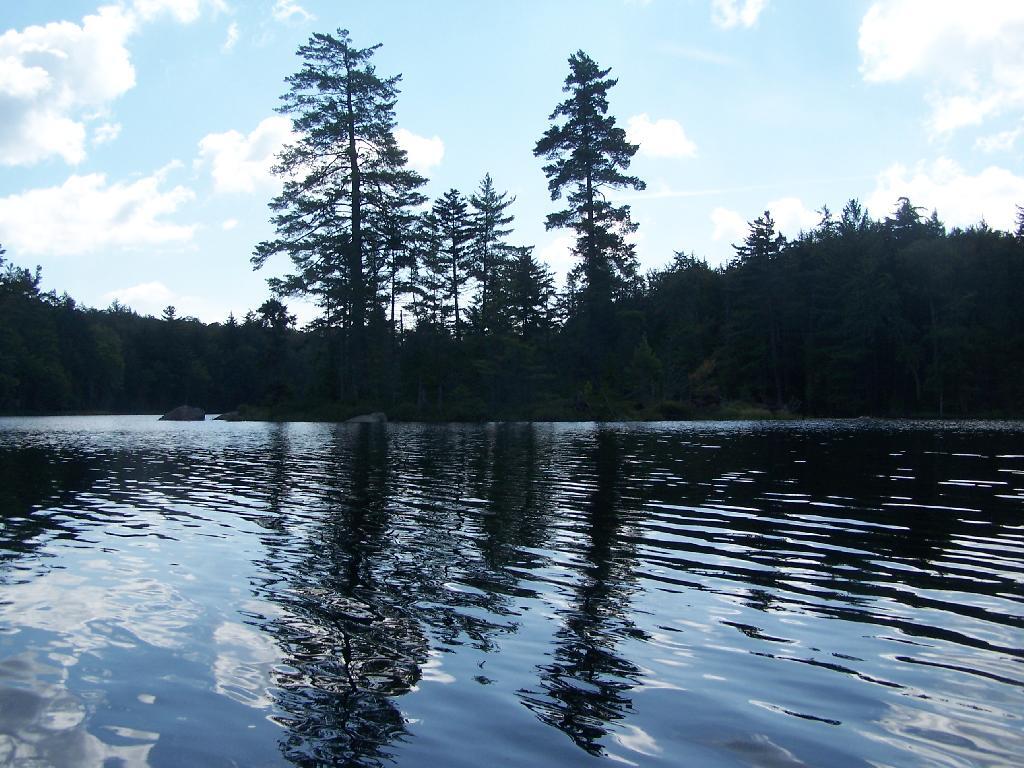
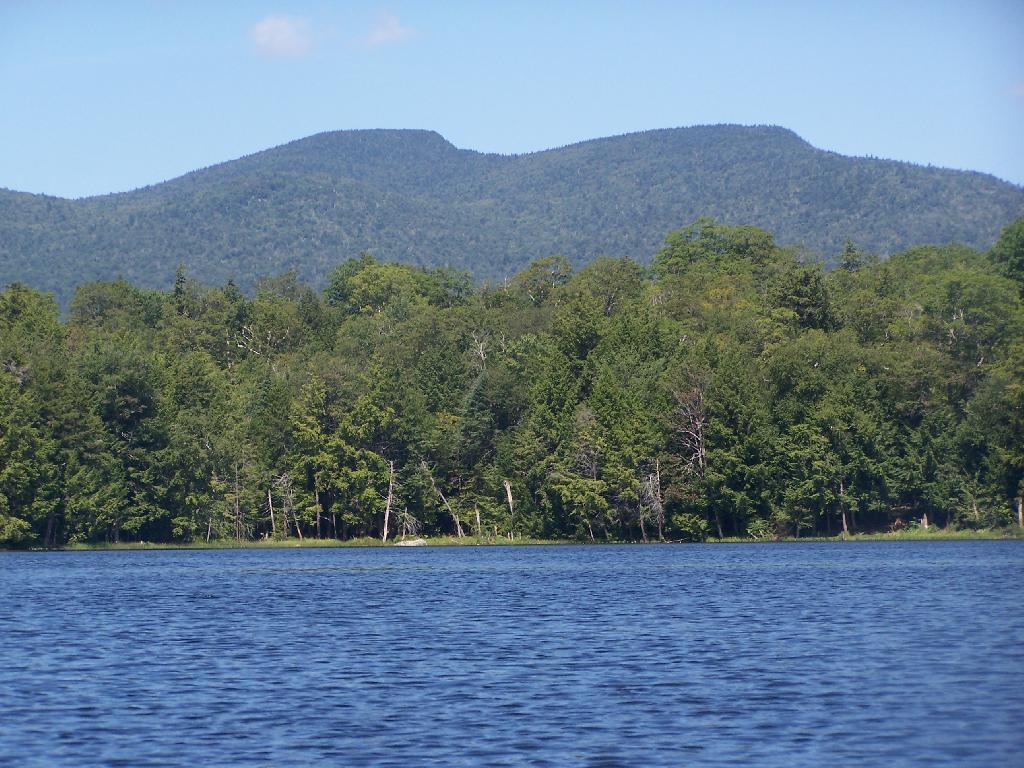
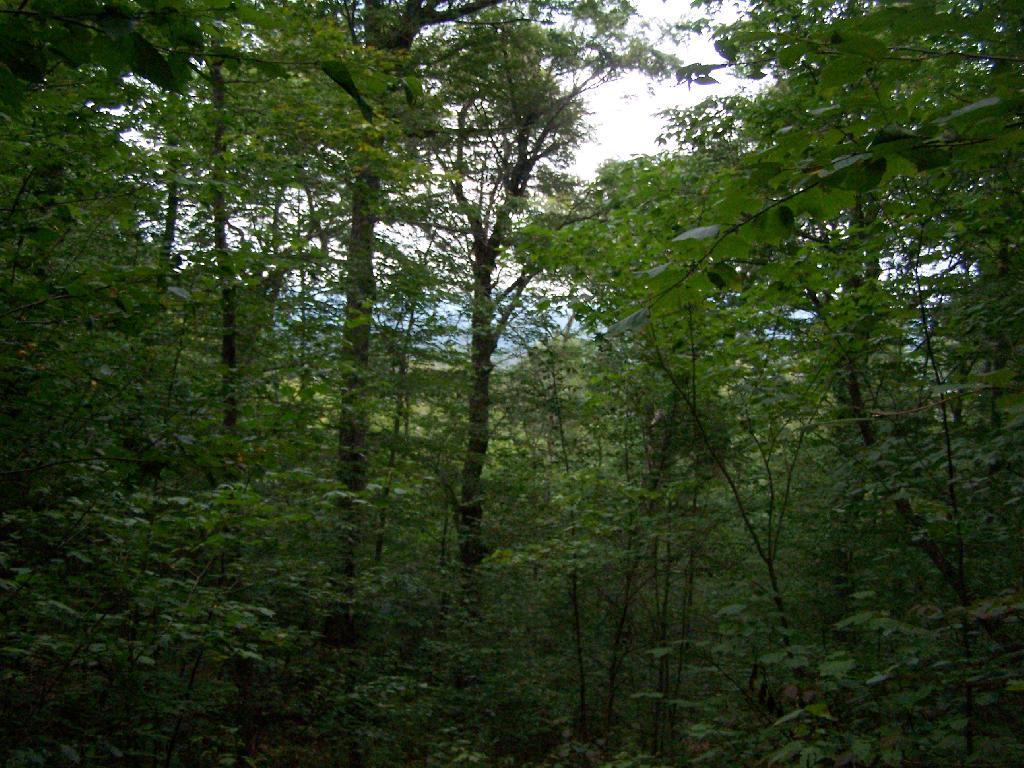
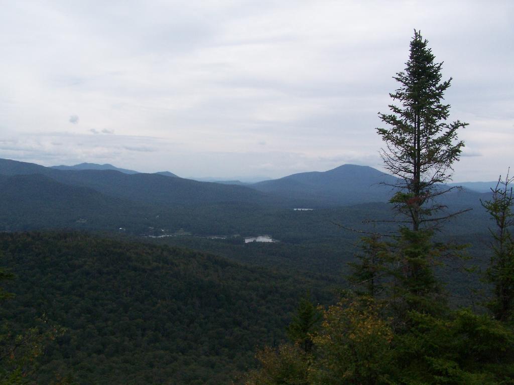
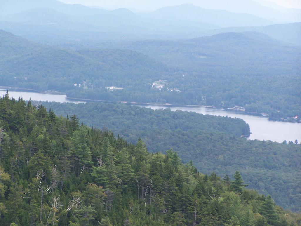
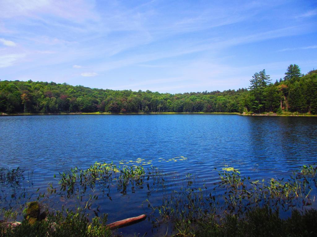
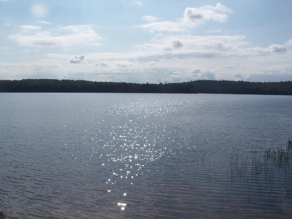
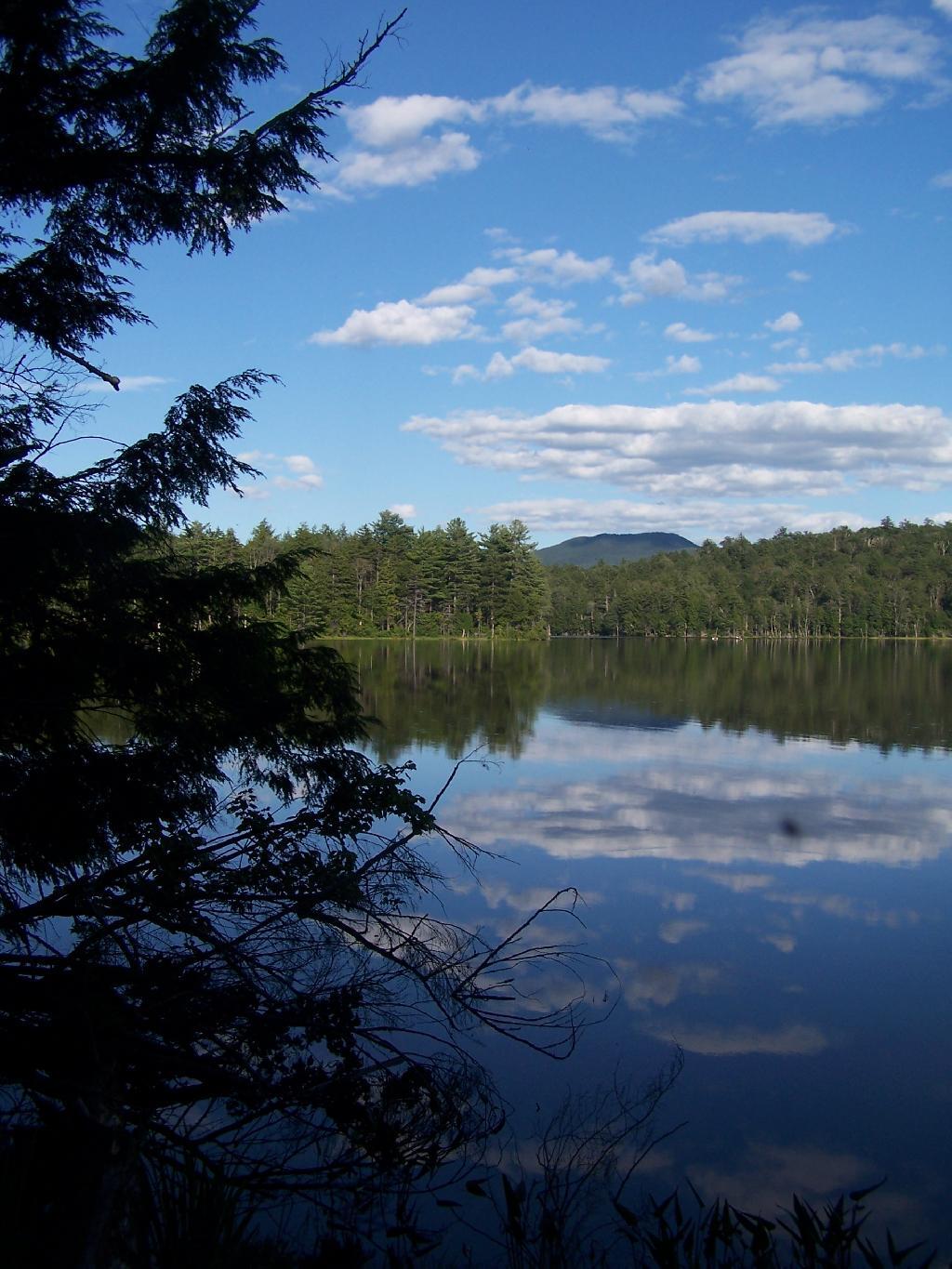
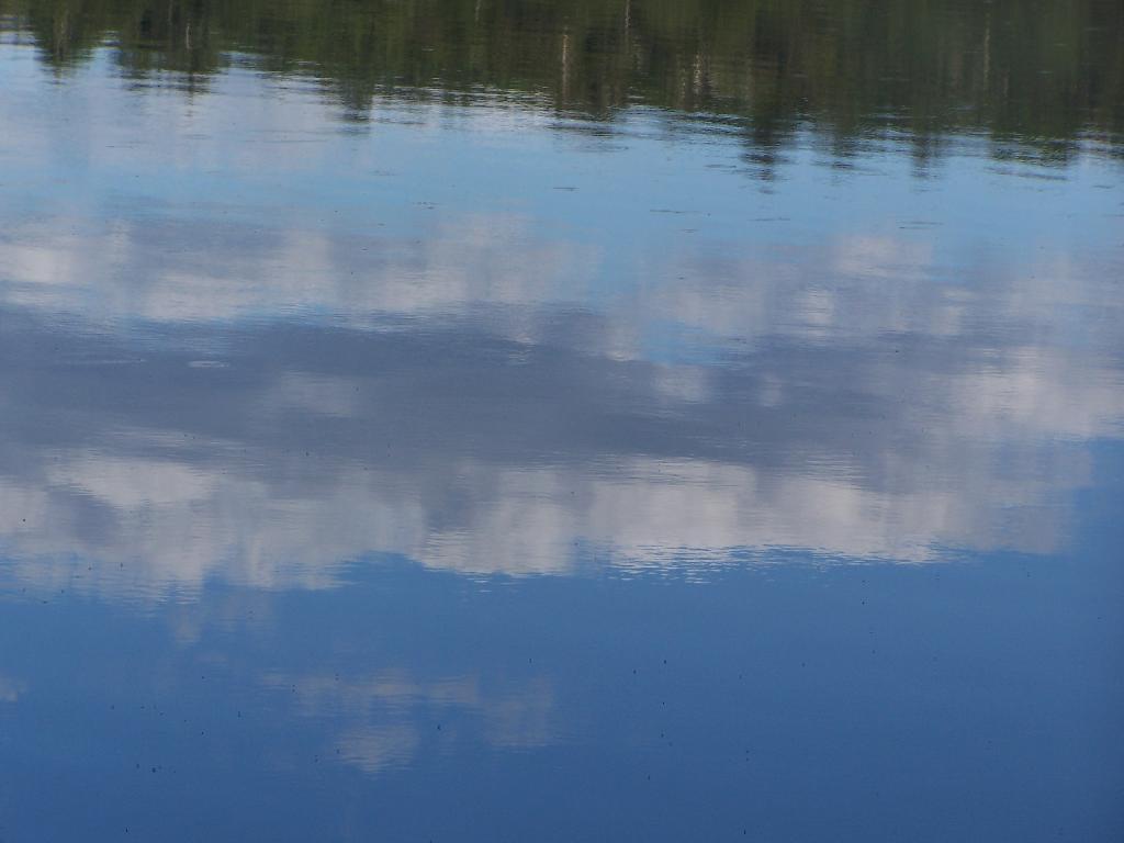
Across Cedar River Flow. This more open portion was a bit rougher, although the wind was pretty slack on this day. Blue Ridge is in the distance.
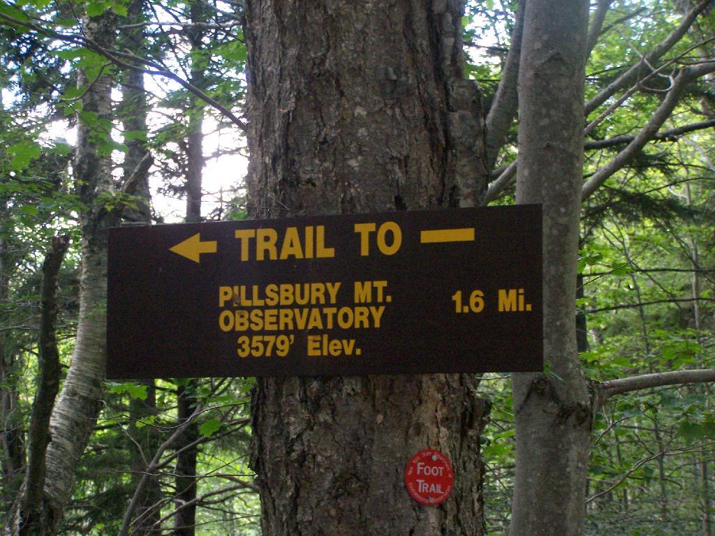
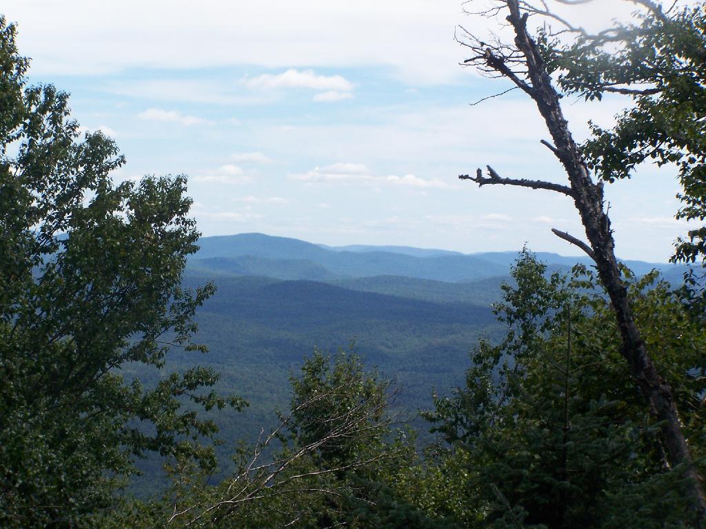
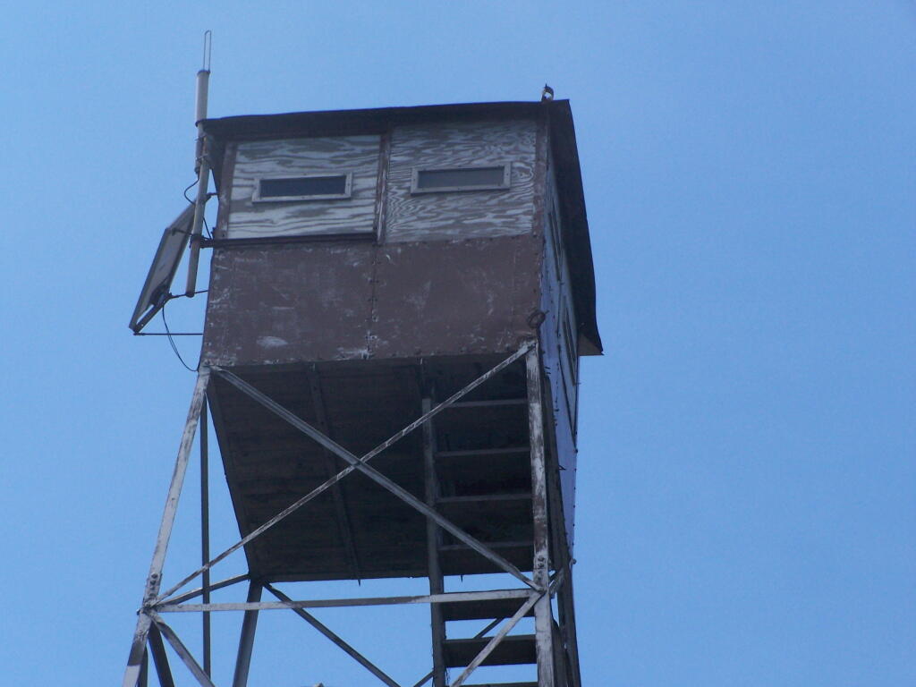
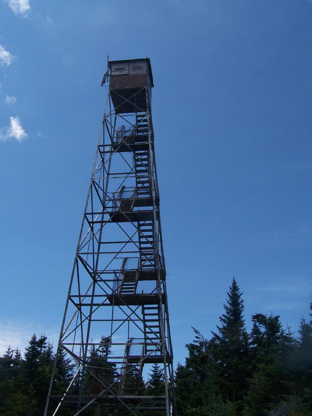
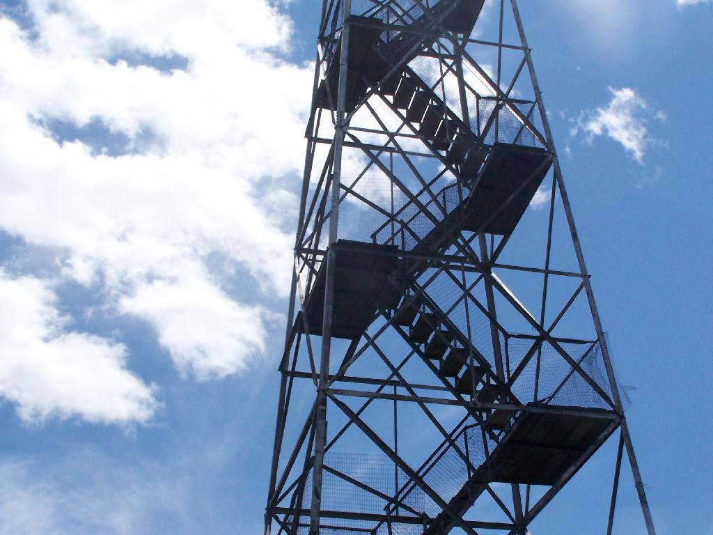
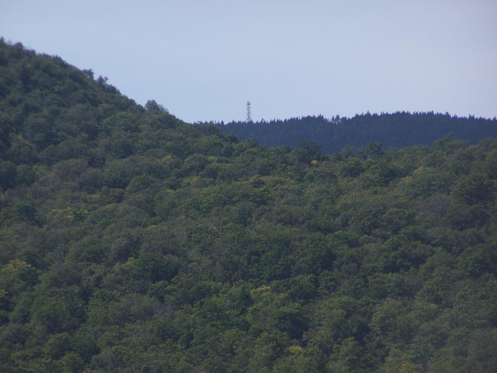
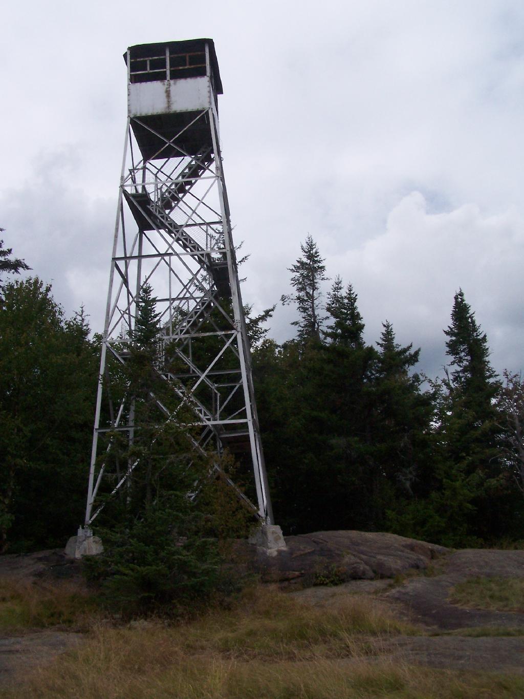
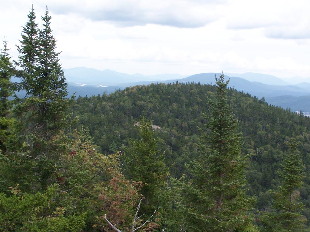
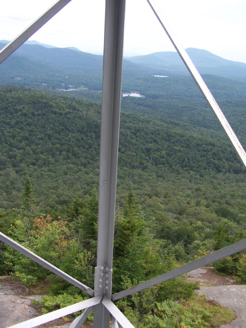
Wakely Fire Tower. As seen from the middle of Cedar River Flow, over Sturges Hill. I previously hiked it, and it was
a nice hike</>.
South Over Cedar River Flow. It was pretty bright and glarey on the lake. I had my sunglasses on, and even had enough sunscreen on, along with the cowboy hat, but not putting sunscreen on my legs, left with me with bad burns on the legs.
Parked on Cedar River Flow. At one of the campsites. I really had to take a piss, because that’s what drinking beer does to me, and it’s pretty hard to do in a kayak, without hoping out.
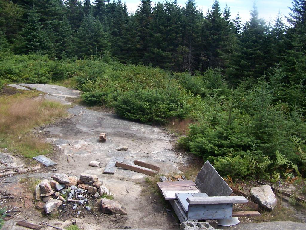
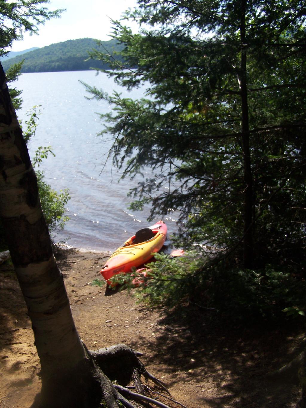
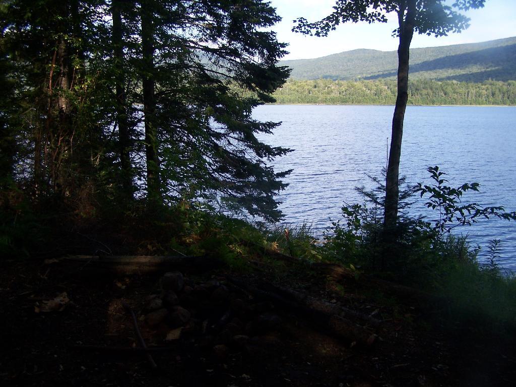
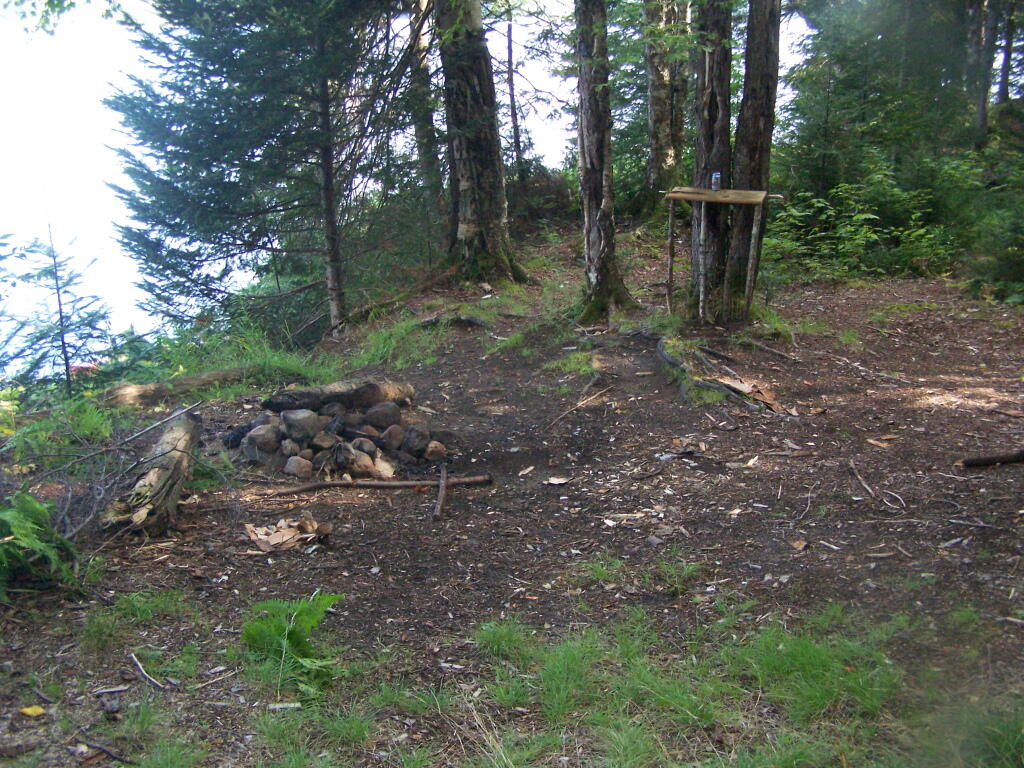
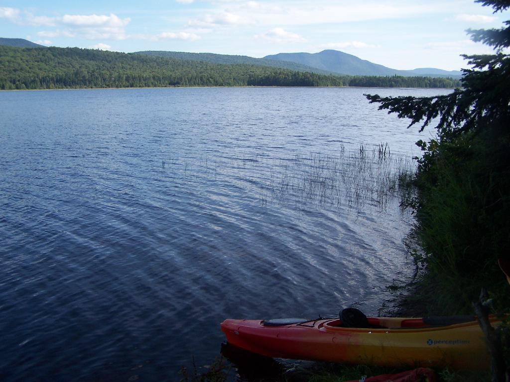
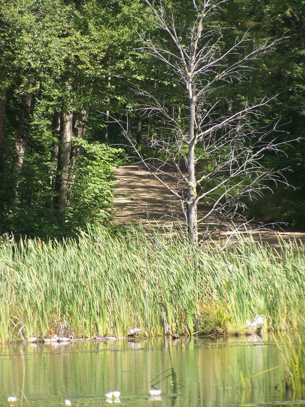
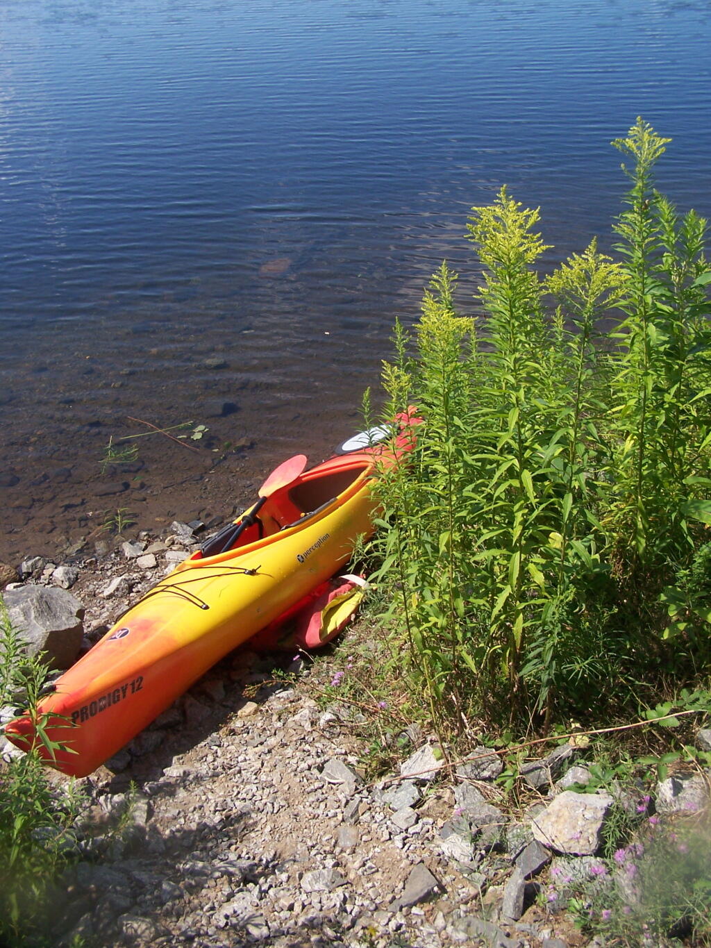
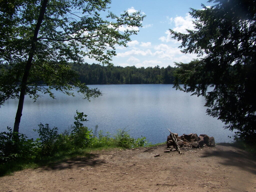
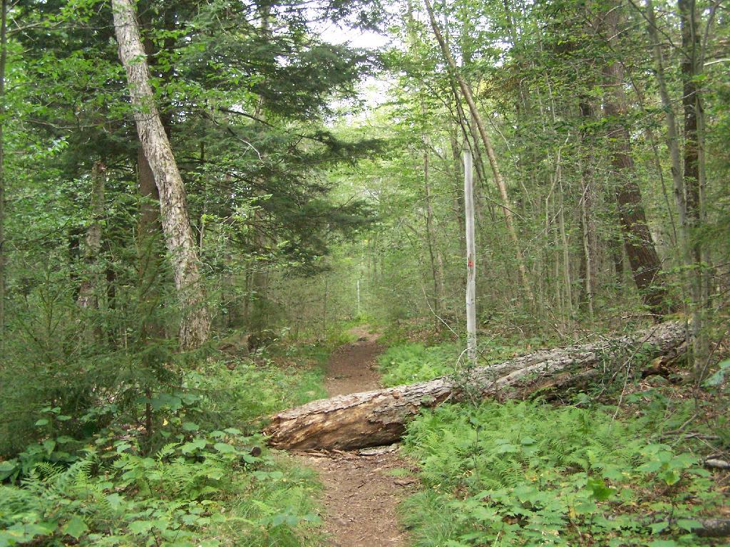
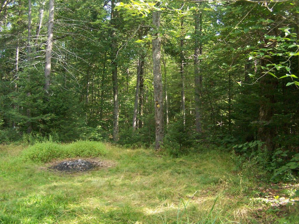
Campsite on Cedar River Flow. This was one of the less nicer campsites on Cedar River Flow, causally developed and not by the DEC. The nicer paddle in campsites have picnic tables, and outhouses.
View from Cedar River Paddle-In Campsite. Quite nice, and a sandy beach for swimming and getting clean.
Edge of Cedar River Flow. This was at the campsite I pulled off at to take a piss.
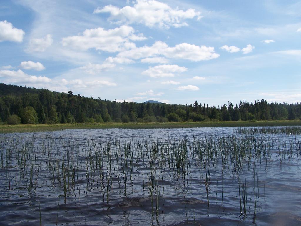
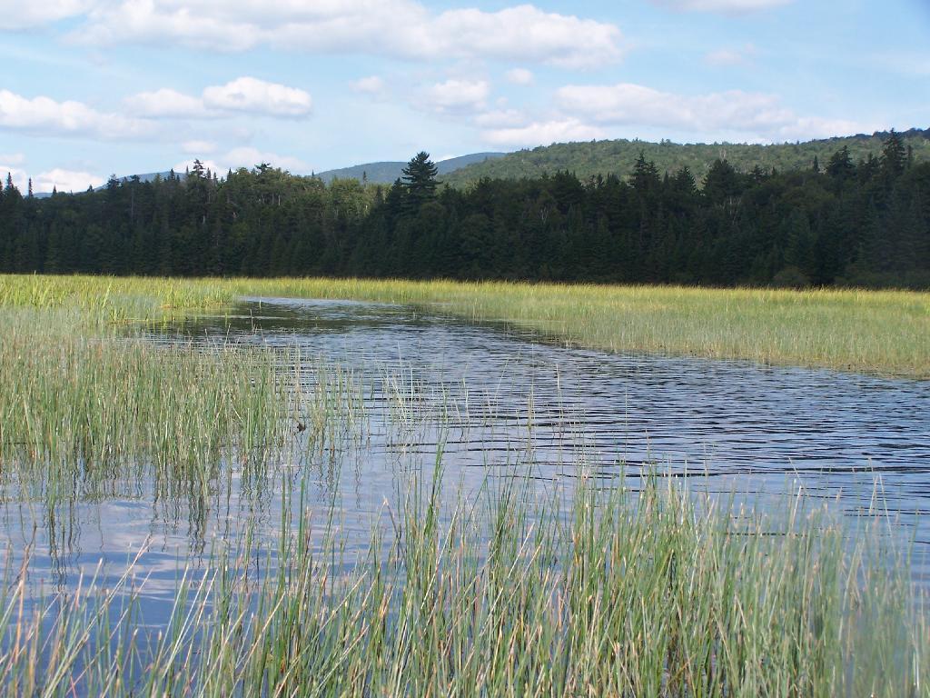
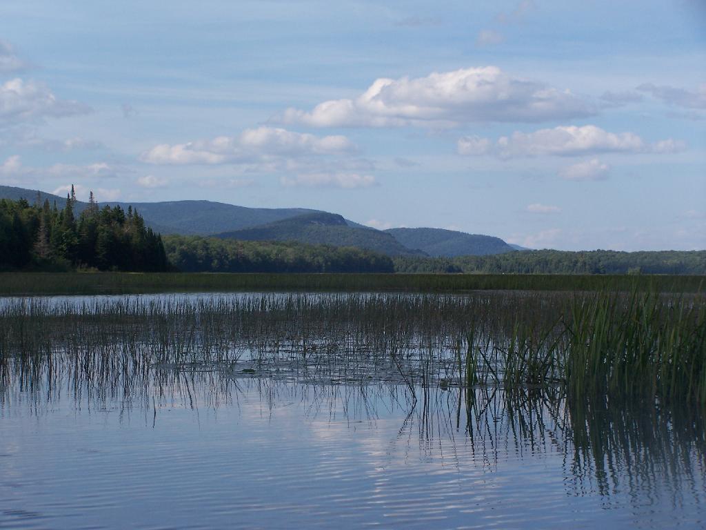
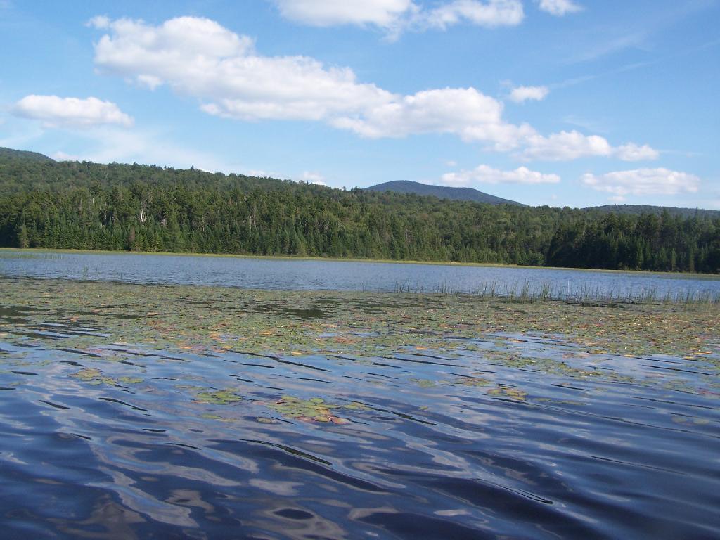
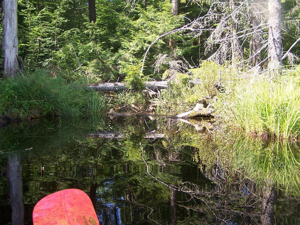
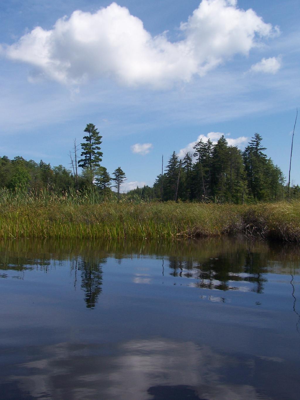
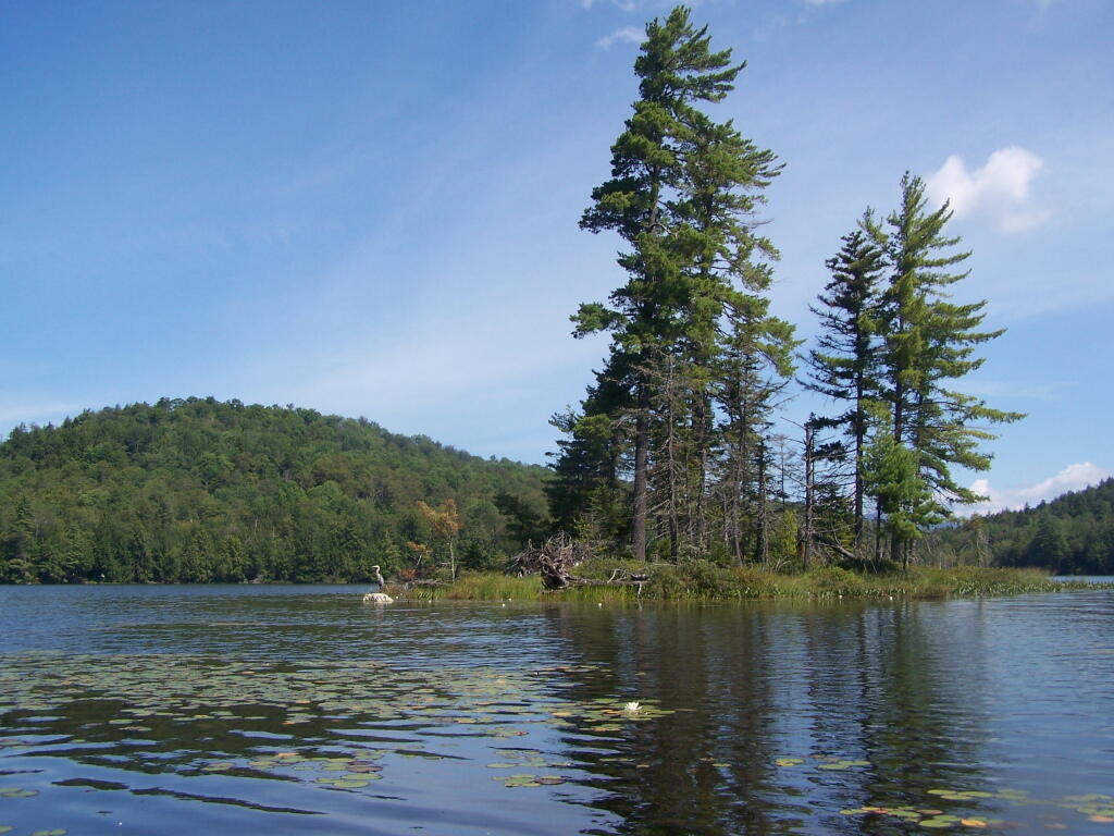
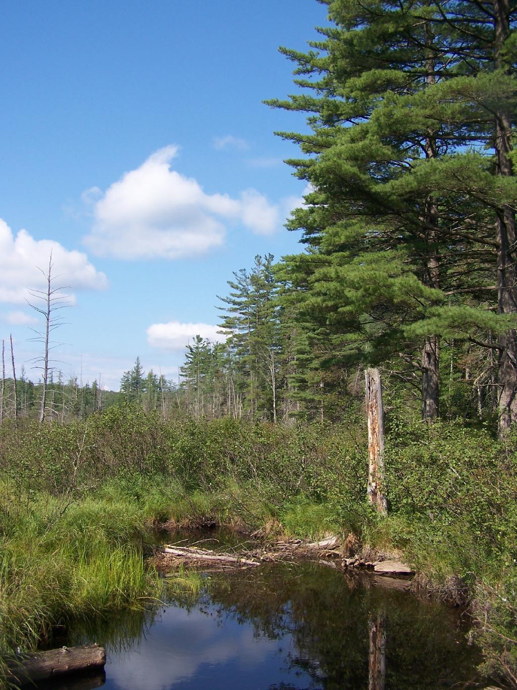
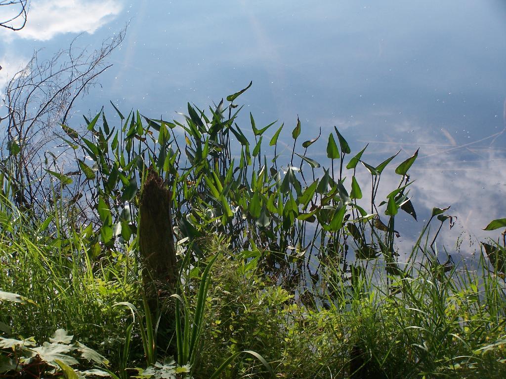
Cedar River Flow Becomes Marshier. As you proceed west on Cedar River Flow, it becomes shallower and shallower, until it’s marshland. It can be a little hard to paddle if you get out of the channel, but in the channel, it’s pretty deep.
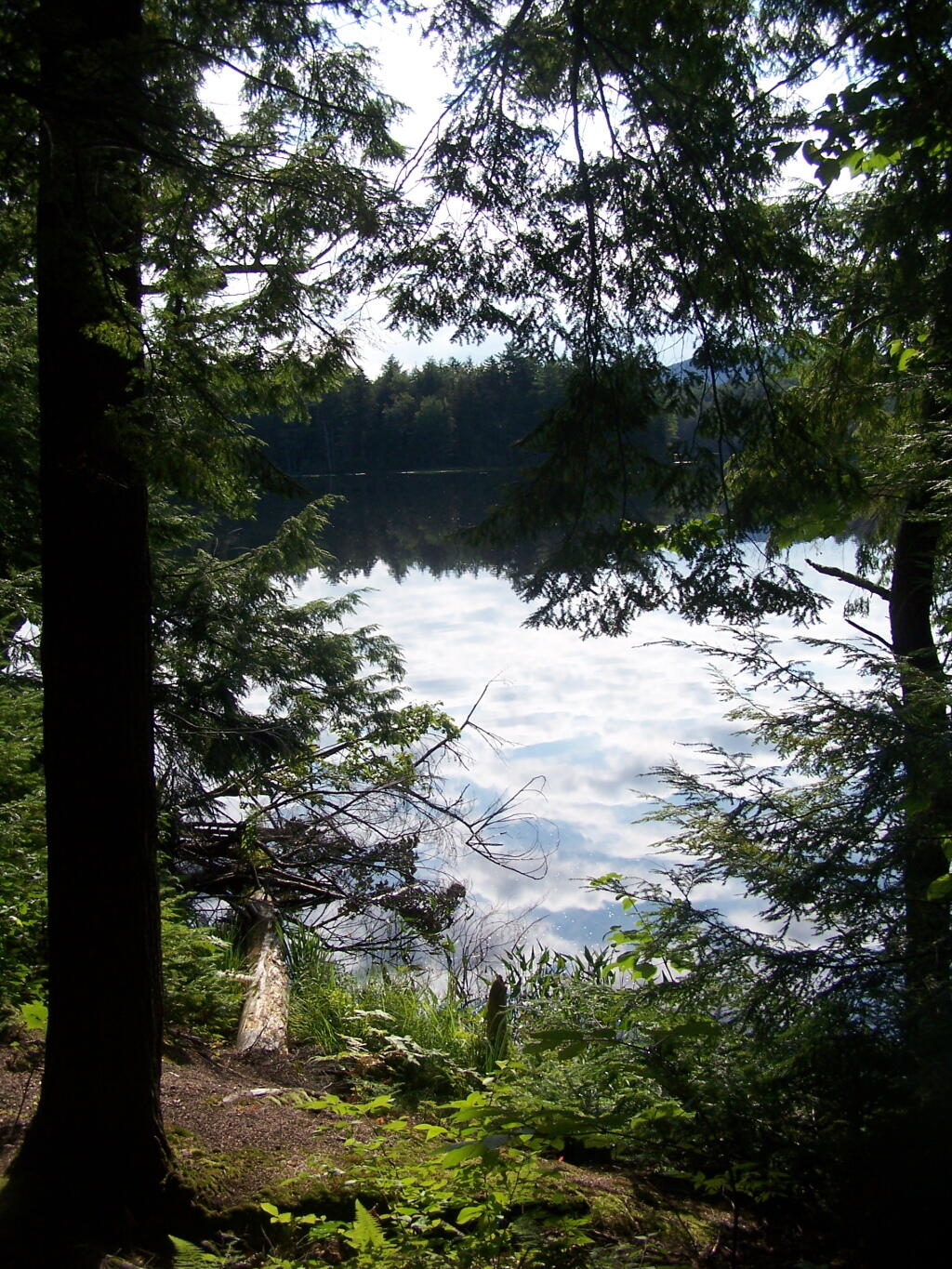
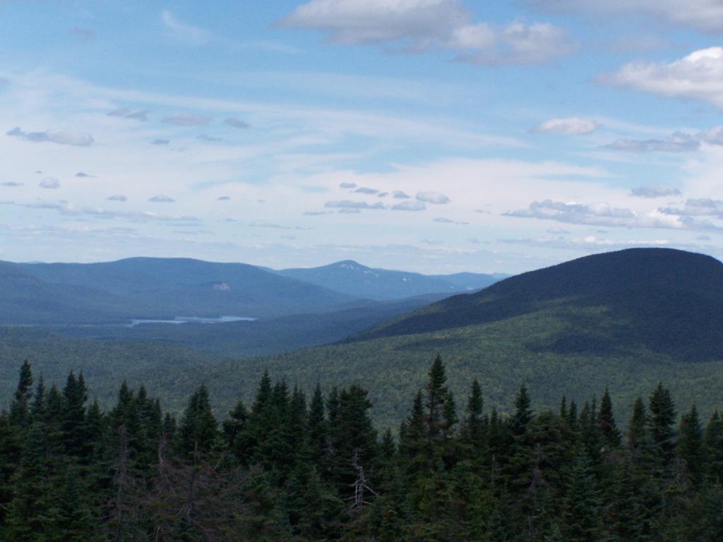
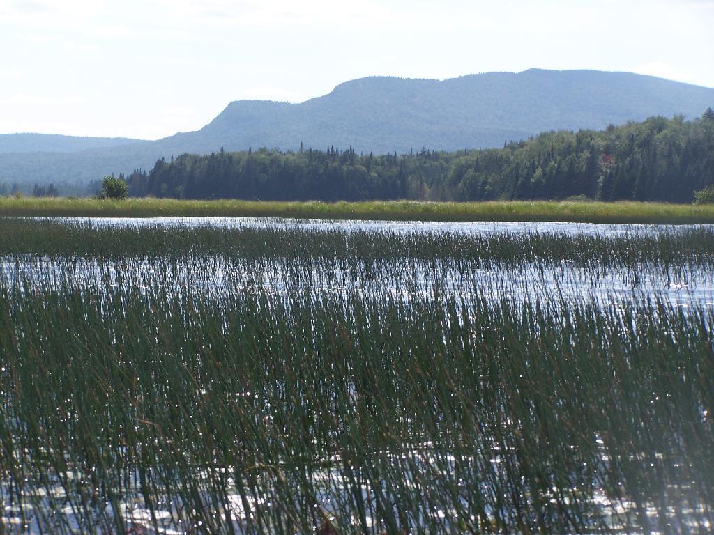
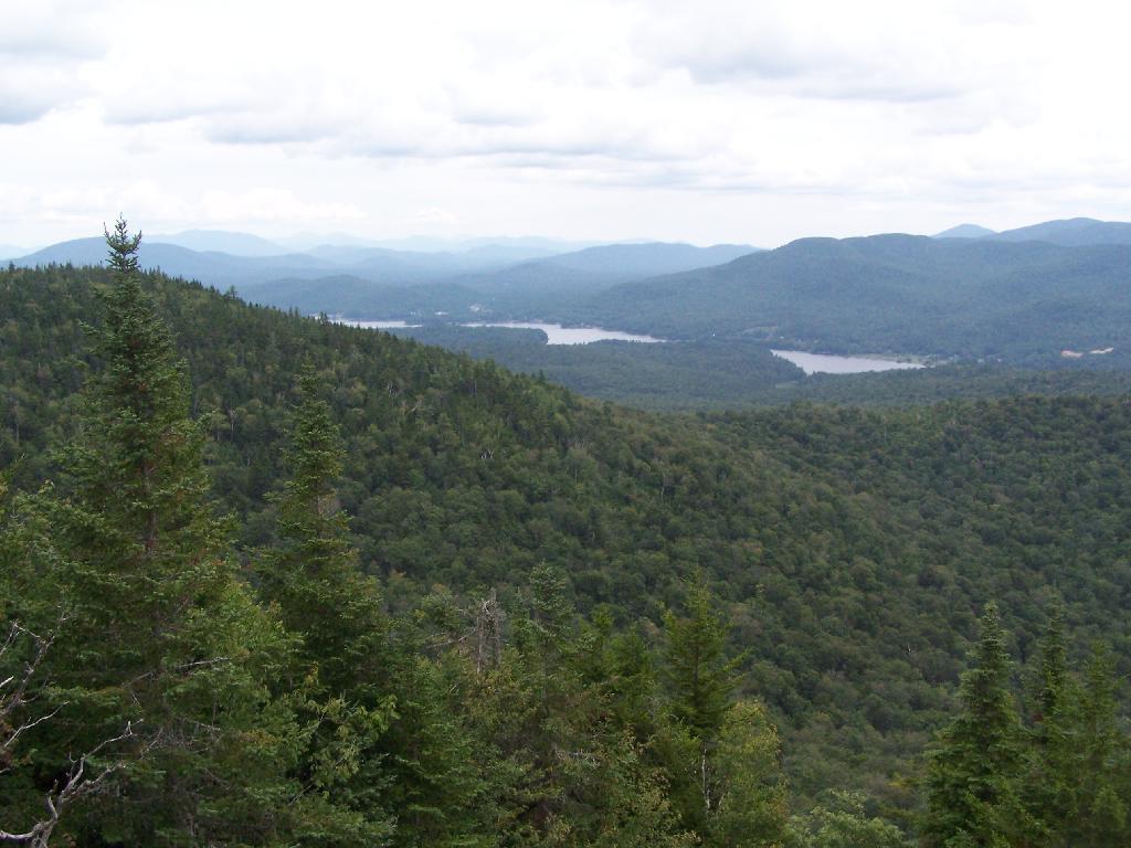
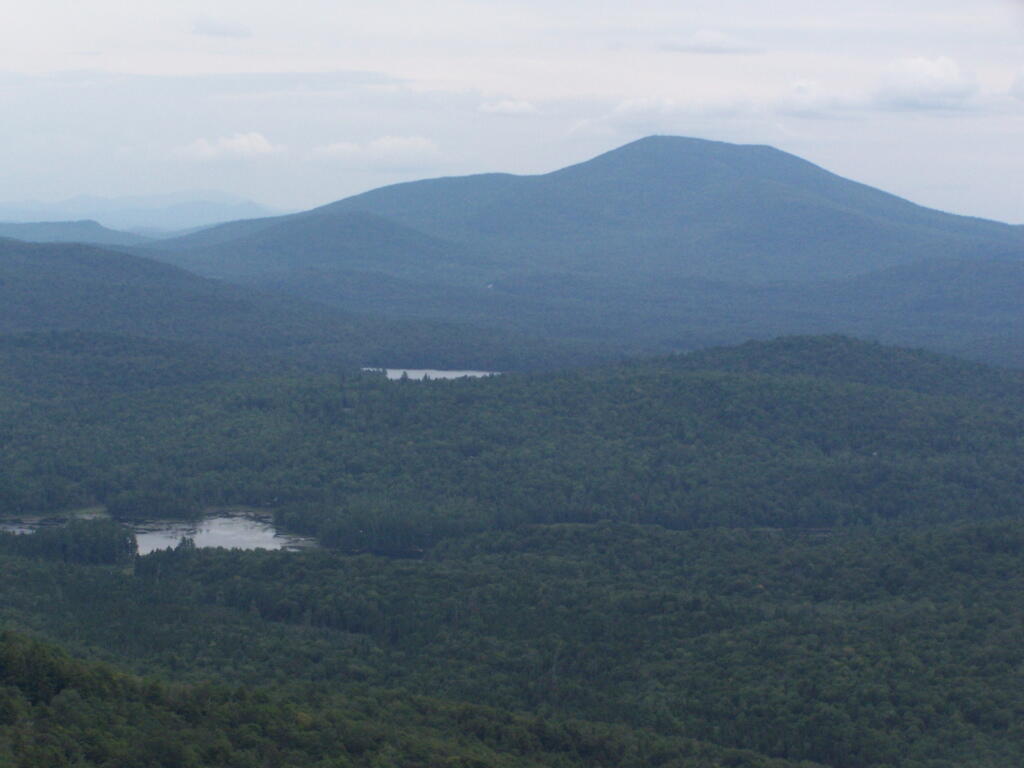
Marshy Flow and Pillsbury Mountain. This is almost the end of the flow, before it becomes all marsh, and you have to follow the Cedar River to get farther west then this.
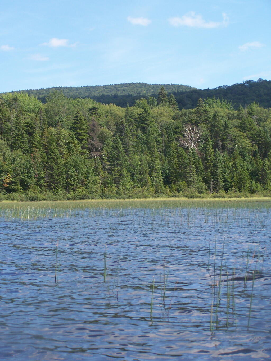
Sturges Hills and Wilson Ridge. This is across the marshy end of Cedar River Flow, looking to the north-west.
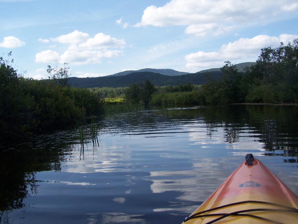
Tougher Paddling. Soon I will find my way onto the Cedar River, which gets much easier, despite a fairly strong current on the river.
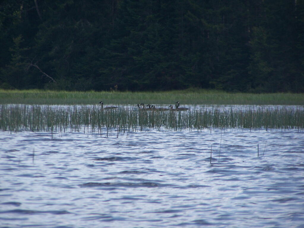
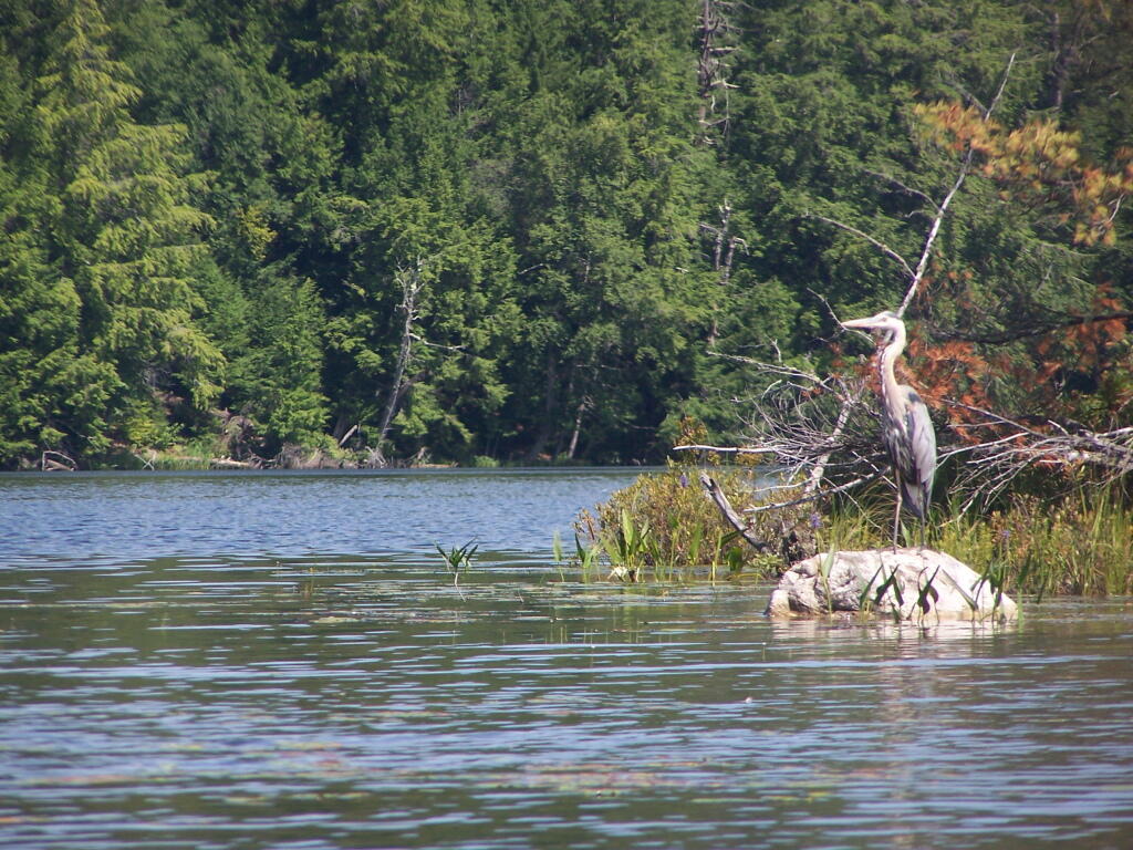
Canadian Geese. On the Cedar River Flow.
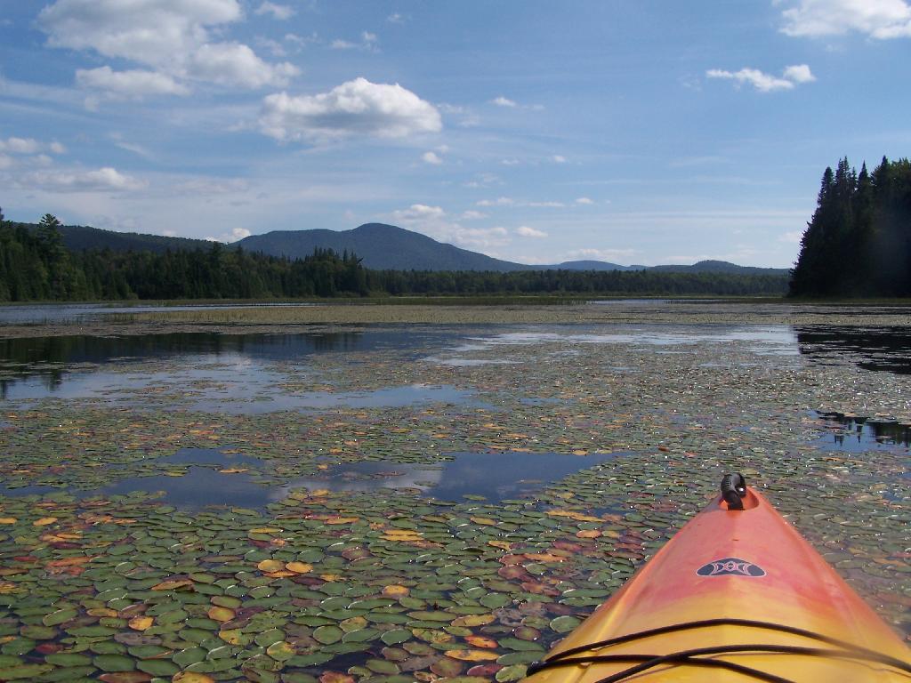
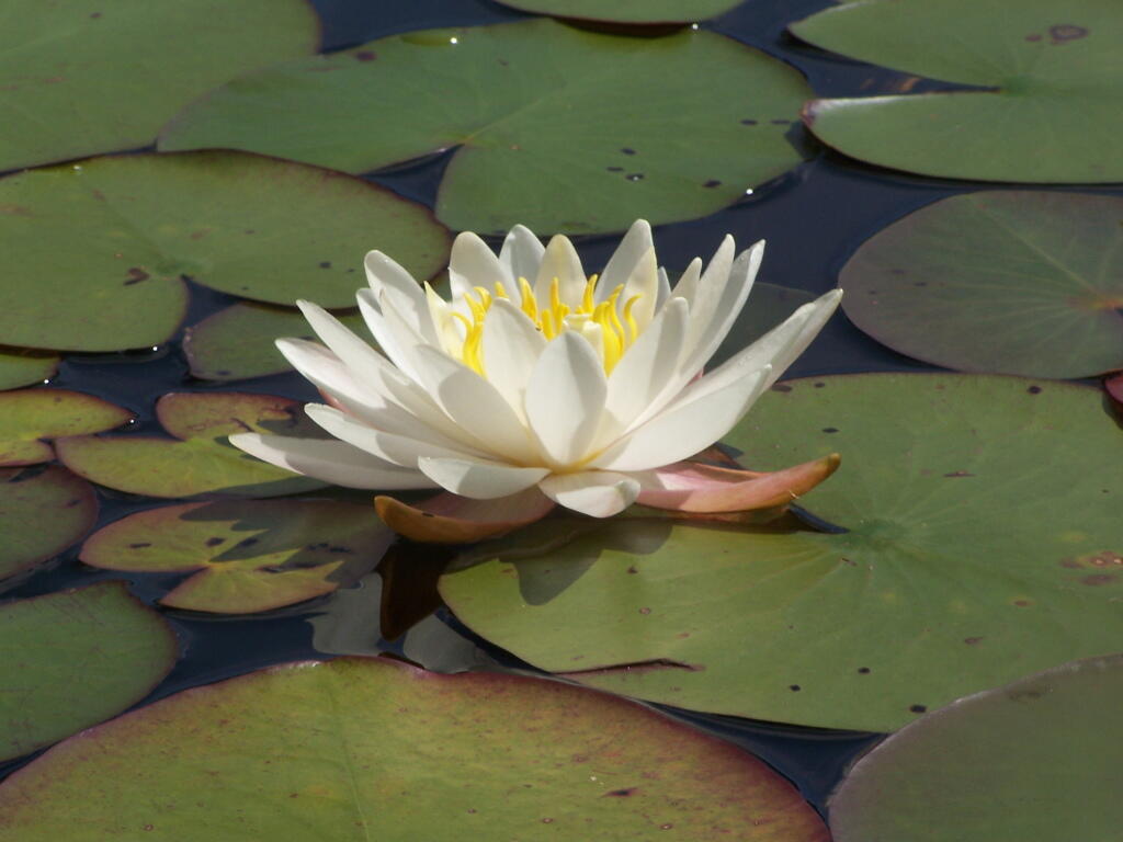
Pond Lillies on the Marsh and Mush. Not fun at all for paddling through on the Flow. That said, if I was in the channel, it wouldn’t be so hard, but I was looking for another stretch and piss spot. All that beer made for tough going in the boat.
End of Cedar River Flow. From here it’s just marshland and the river, flowing to the south west.
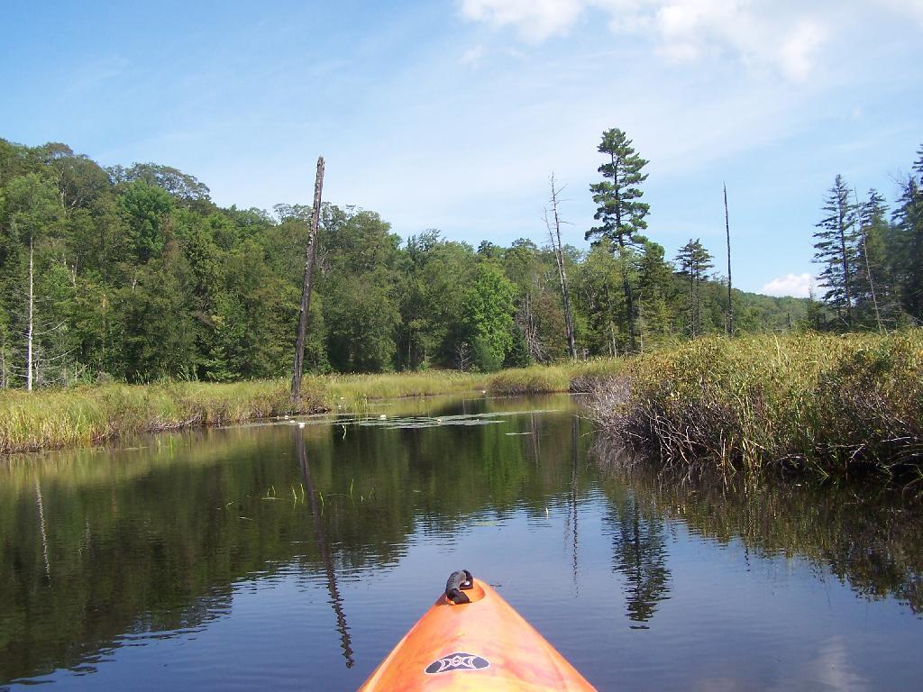
Paddling Thru Cedar River. The current was pretty strong, but still very much paddle-able from here.
Down Along the Cedar River. It was a pretty afternoon for paddling, but my arms where starting to feel it against the current of the river.
Navigating Oxbow in Cedar River.
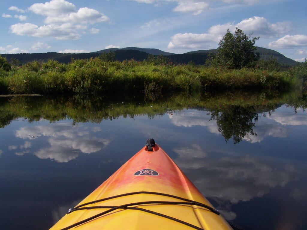
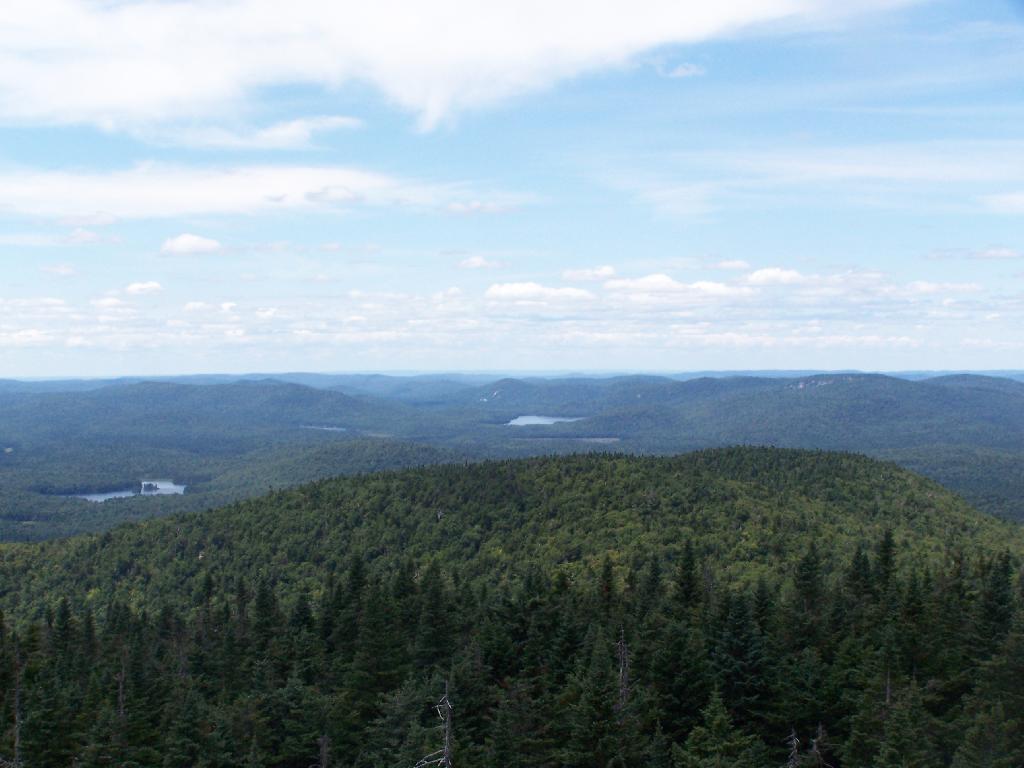
Back in the Flow. The low hills of Blue Ridge and Sturges Hills follow along the landscape of the flow.
Heading East Along Cedar River Flow. Only a couple miles back to the campsite.

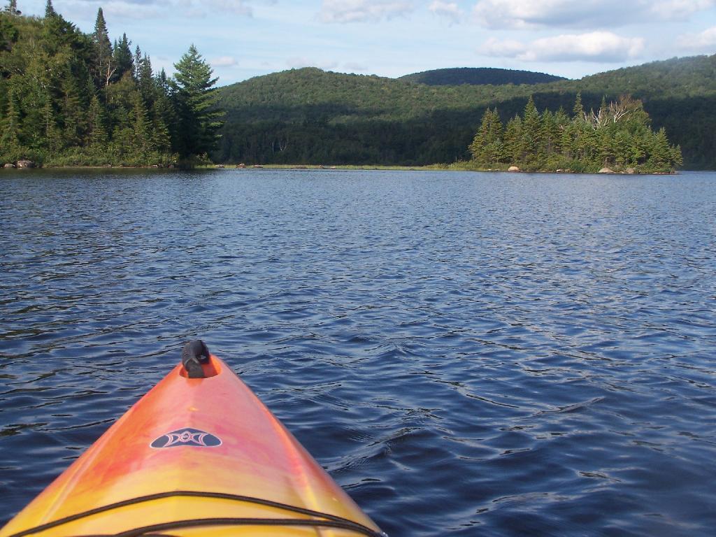
East Across Flow.
South Across Cedar River Flow.
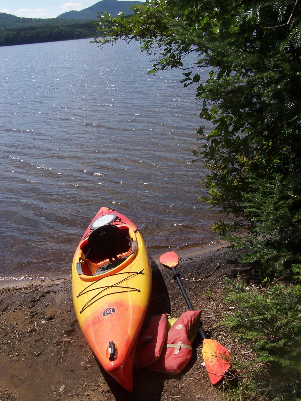
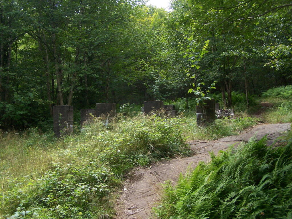
Kayak in Site on Cedar River Flow. This is one of the beautiful kayak-in sites that the DEC is proposing to close to appease the environmental extermists who believe the public should have no access to public lands.
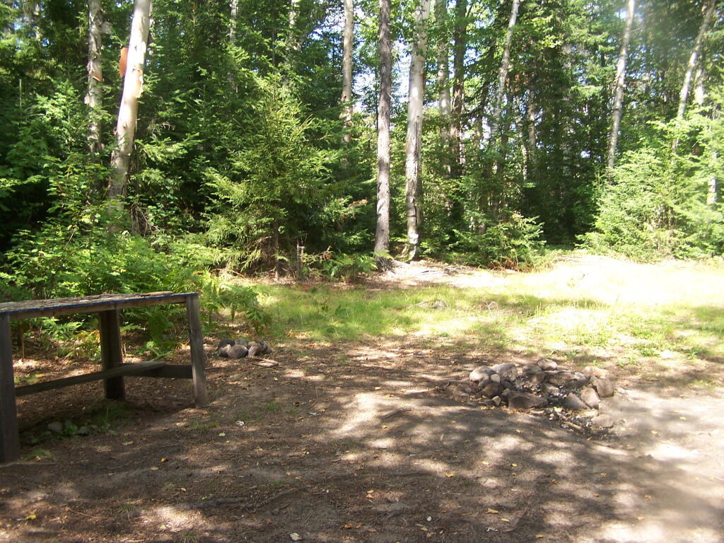
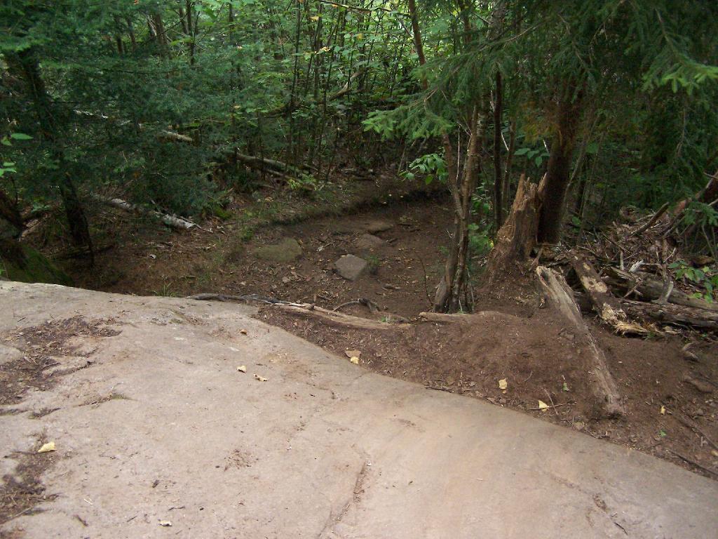
Very Basic Campsite. Still it seemed like some place that would be nice to paddle in one day with a tent.
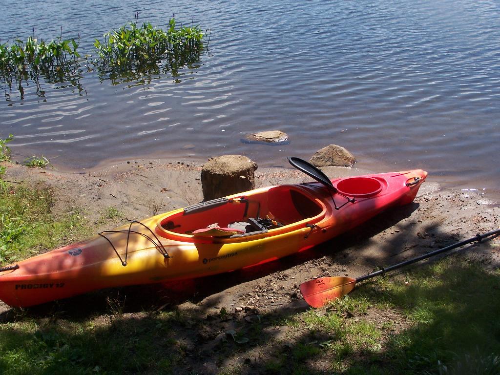
A Quick Swim, Then Back in Kayak. This is another nice sandy beach at Cedar River Flow.
Shoreline Near Payne Brook. This is the hook that jets out into Cedar River Flow.
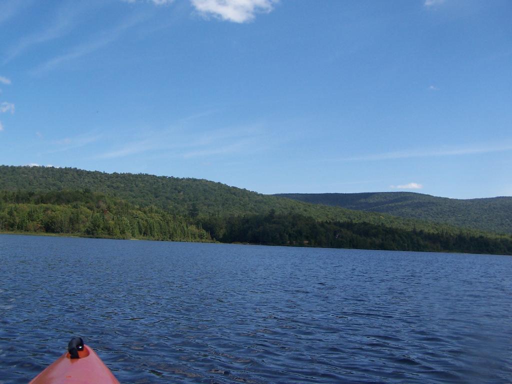
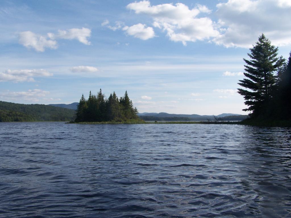
Kayaking Pass an Island. On the Cedar River Flow.
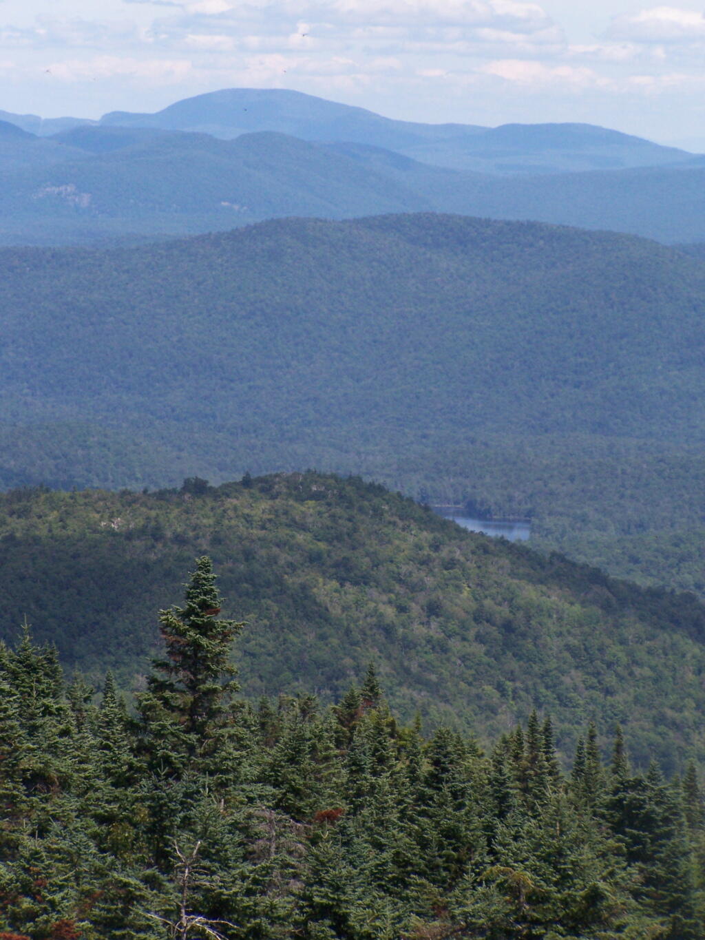
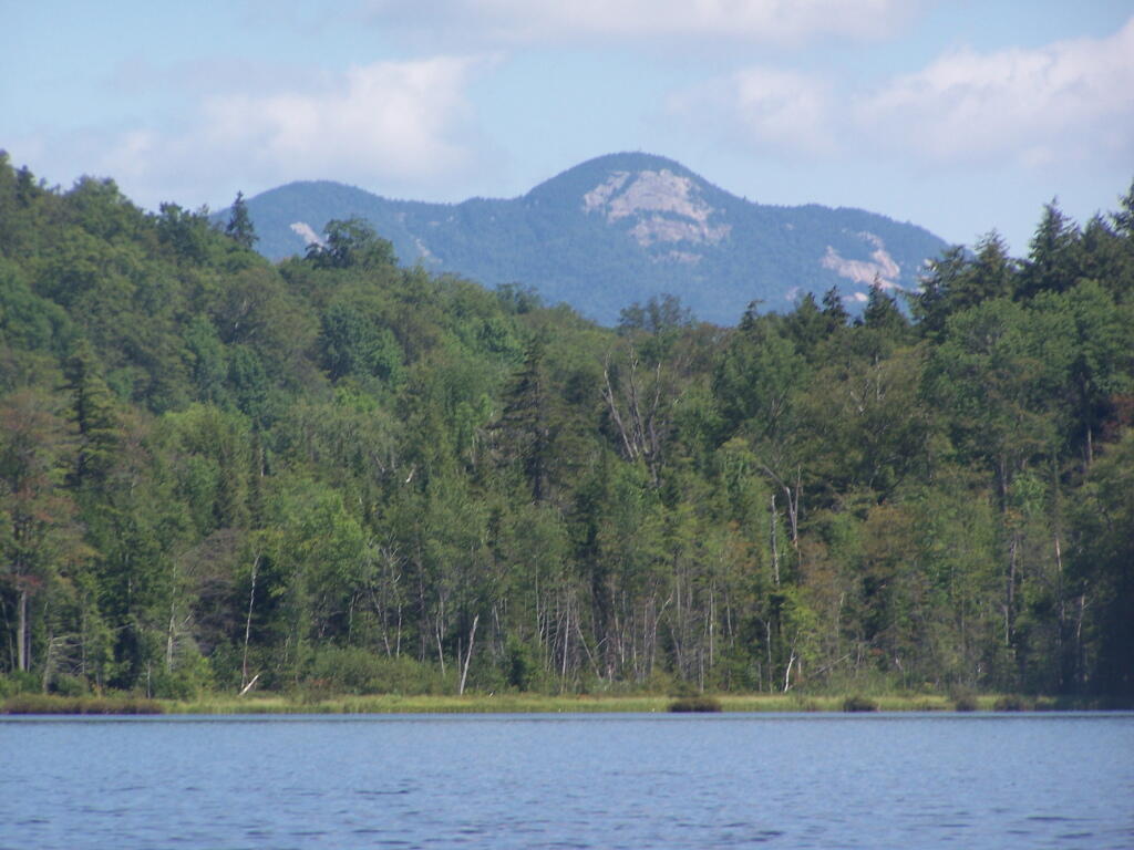
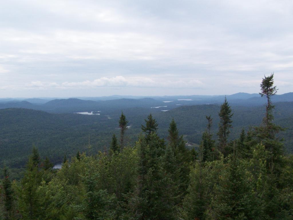
Island with Pillsbury Mountain. And several other mountains, looking west down towards the Plains.
Past the Payne Brook. On the Cedar River Flow. Almost back to Wakely Dam, and the drive-in campsites.
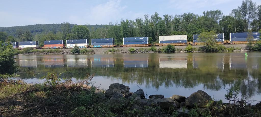
Flooded Lake. This portion of the Cedar River Flow, demostrates how very much this area was once open plains, until the DEC flooded the area shortly after obtaining the land from Gould Paper Company in 1967.
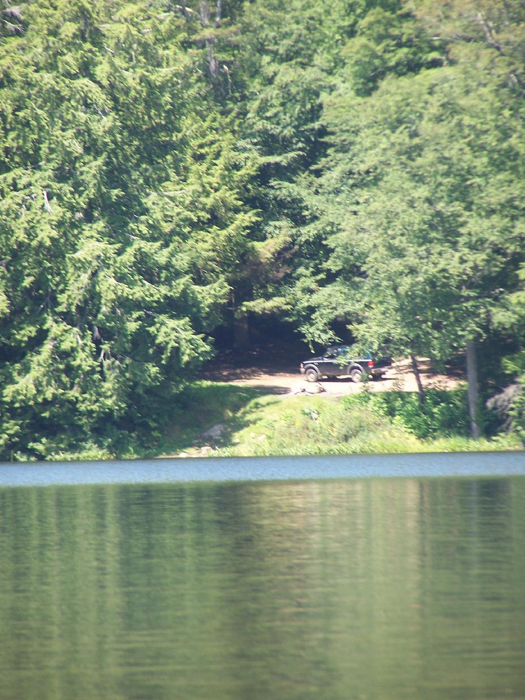
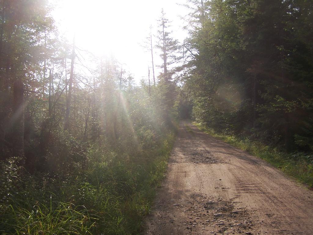
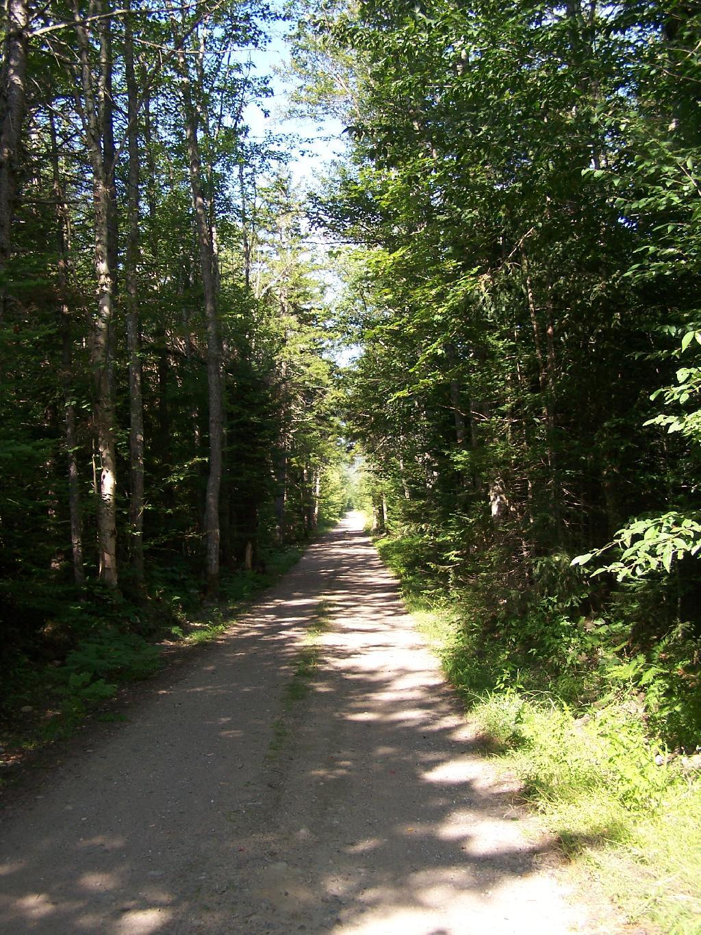
Back to the Wakely Dam. As you can see, it’s already starting to get dark. By the time I’m out of the water, and cleaned up, it’s already 6:30 PM. I then go for a little drive up to the plains (an hour away), and pick blueberries.
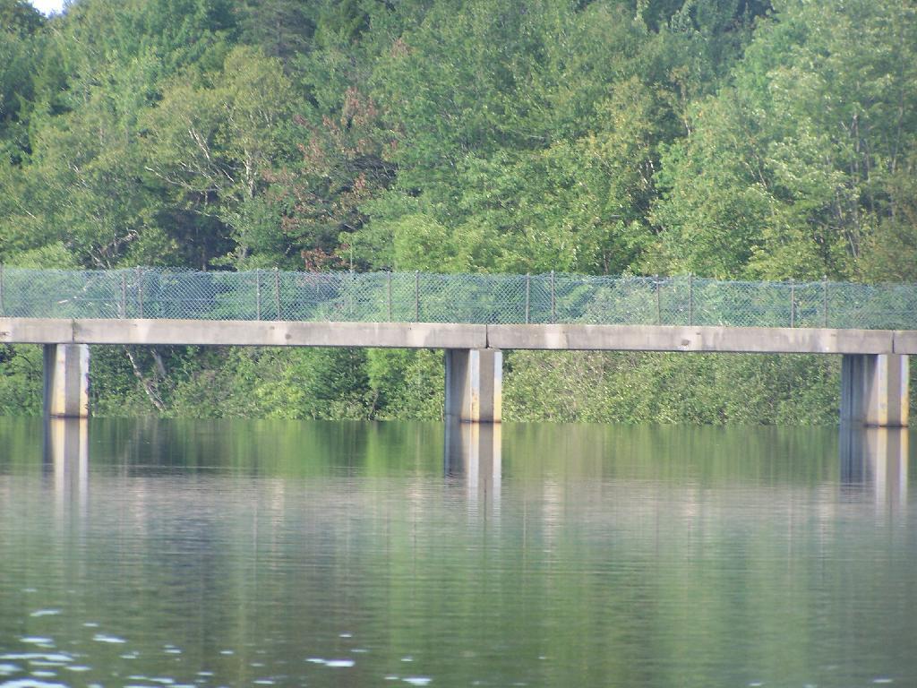
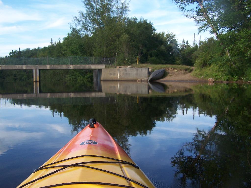
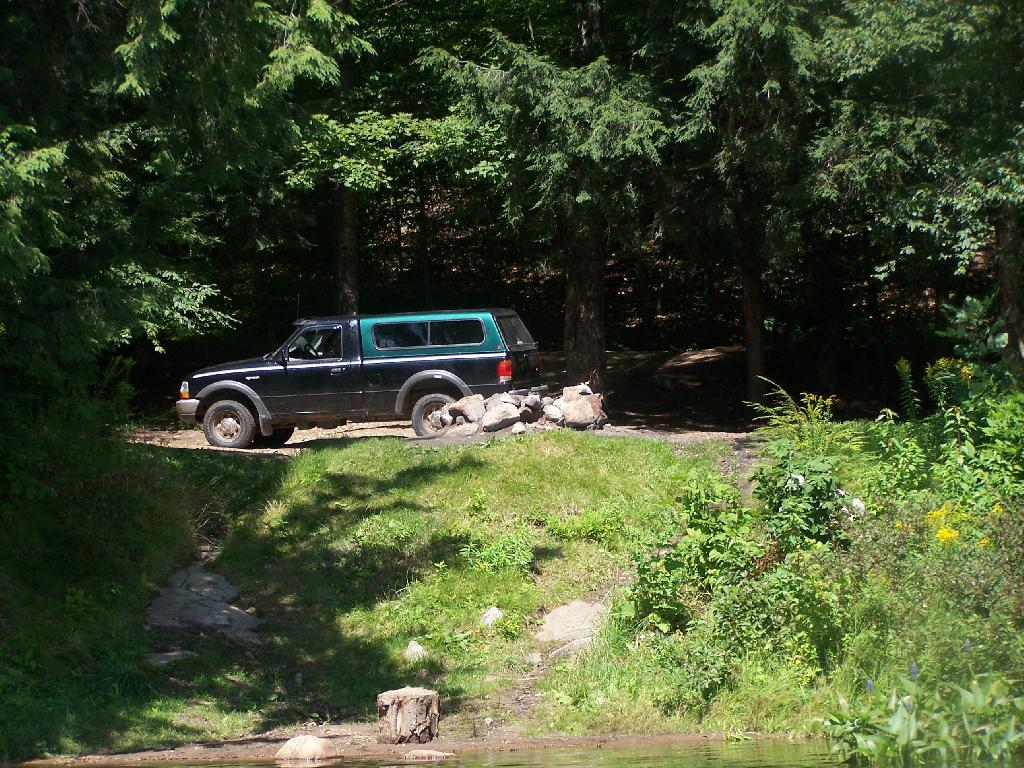
The Wakely Dam. There are no posted weight restrictions on this dam, and people regularly bring their fifth wheel campers across it. That said, the Albany bureaucrats in the DEC wants to close off vehicular access, because they don’t believe the public should be allowed to camp on their own lands, especially not in something like a pickup truck or an RV.
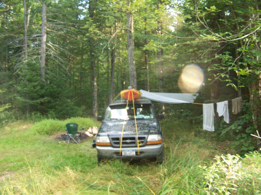
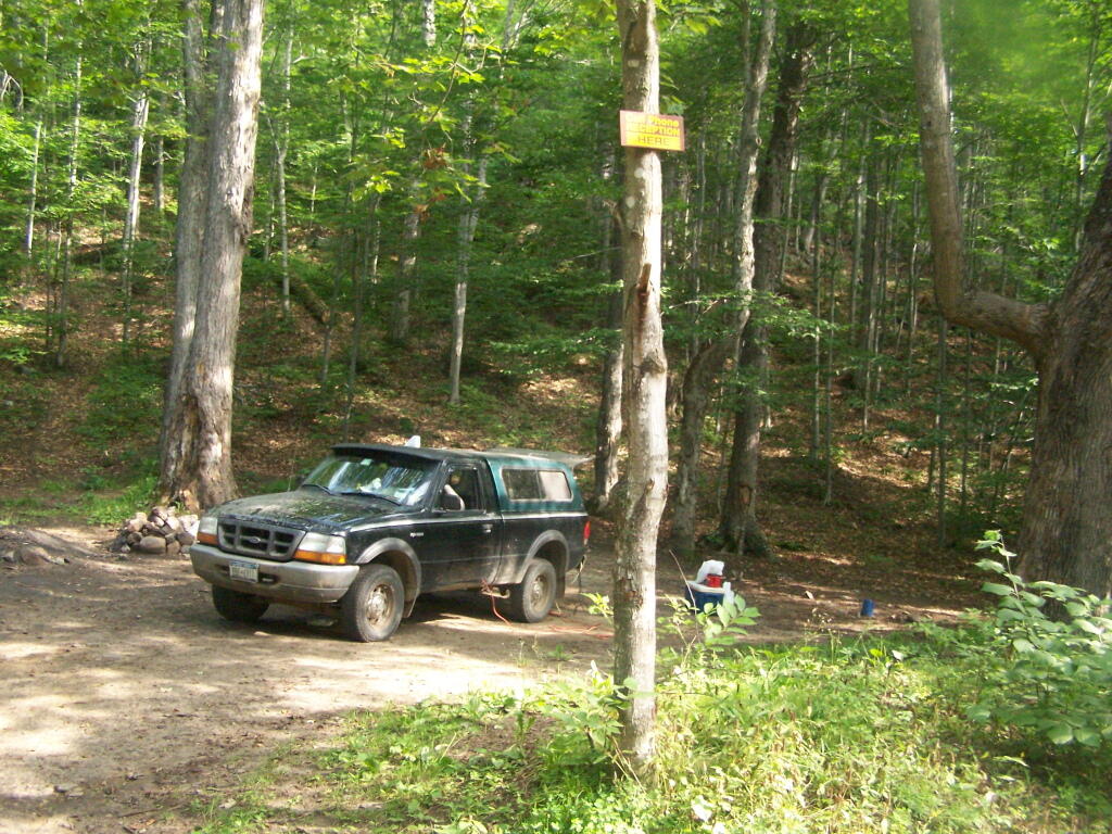
Getting Ready to Pull Out. I’m camping at the site right next to Wakely Dam</>, namely site No 8.
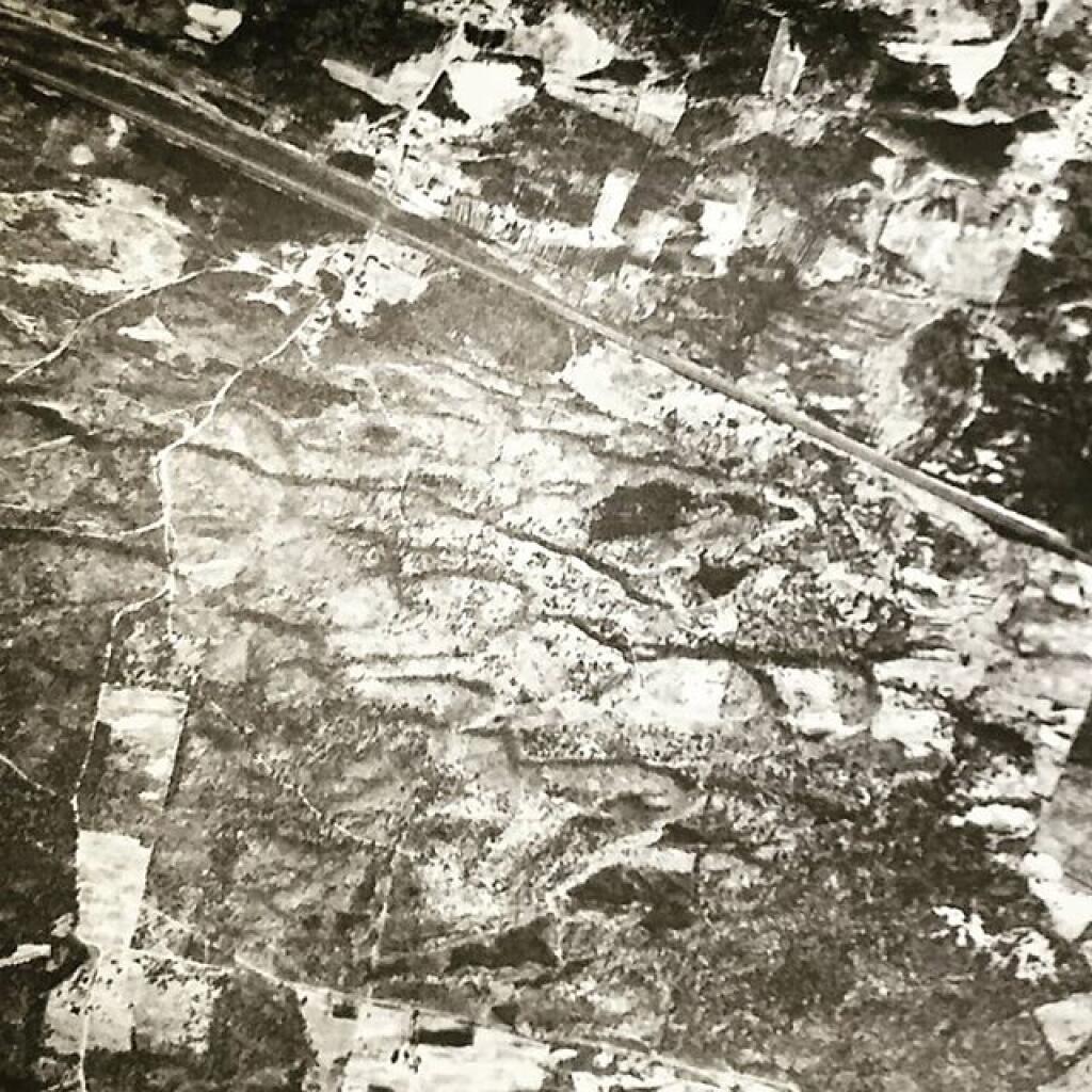
Here is a map of the lake. The Wakely Dam is to the North, the Cedar River flows from the south in the West Canada Wilderness.


![Blackwater Falls [Expires November 7 2023]](https://andyarthur.org//data/photo_005109_large.jpg)