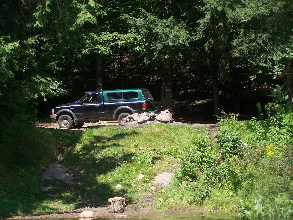
Horseshoe Lake is located on South Eastern Saint Lawrence County, on a dead end state highway, NY 421, a spur from NY 30 South of Tupper Lake. It offers 6 campsites scattered along the lake, with 6 others on nearby roads. It is also near the Bog River Flow Canoe/Kayak Area.
Six Miles to Horseshoe Lake. This is the turn off for NY 421, one of the strangest state highways in the state. It is a dead ended highway, that leads to gravel roads around Horseshoe Lake and Bog River Flow. It is very twisty and narrow, and portions have not been resurfaced in over 50 years.
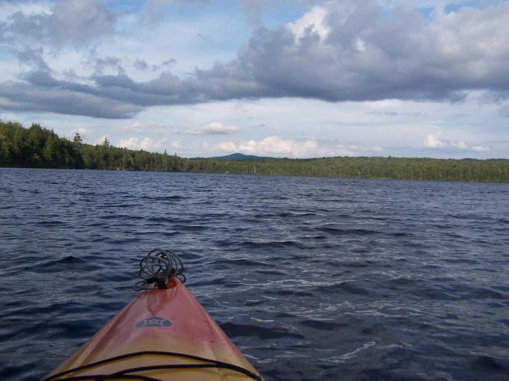
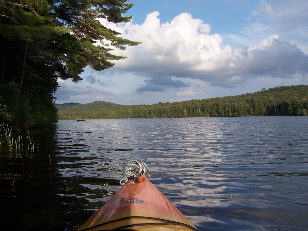
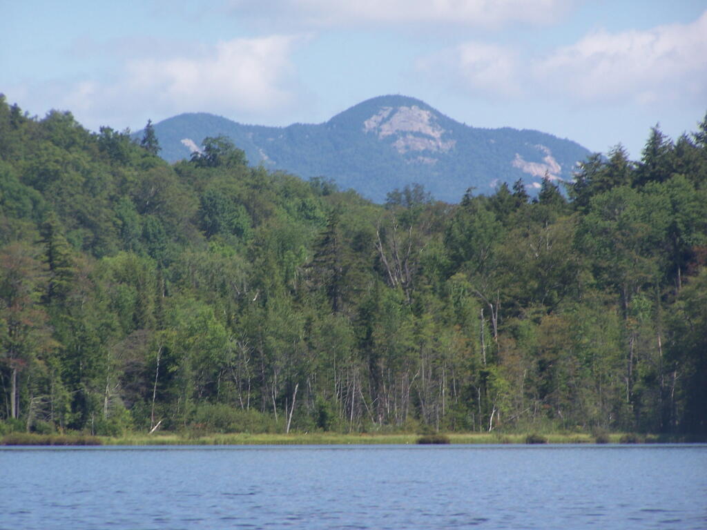
Towards Mt Morris. Paddling across Horseshoe Lake. As you can see, the land around here is very flat, former timber country. In the distance is Mount Morris, near Tupper Lake.
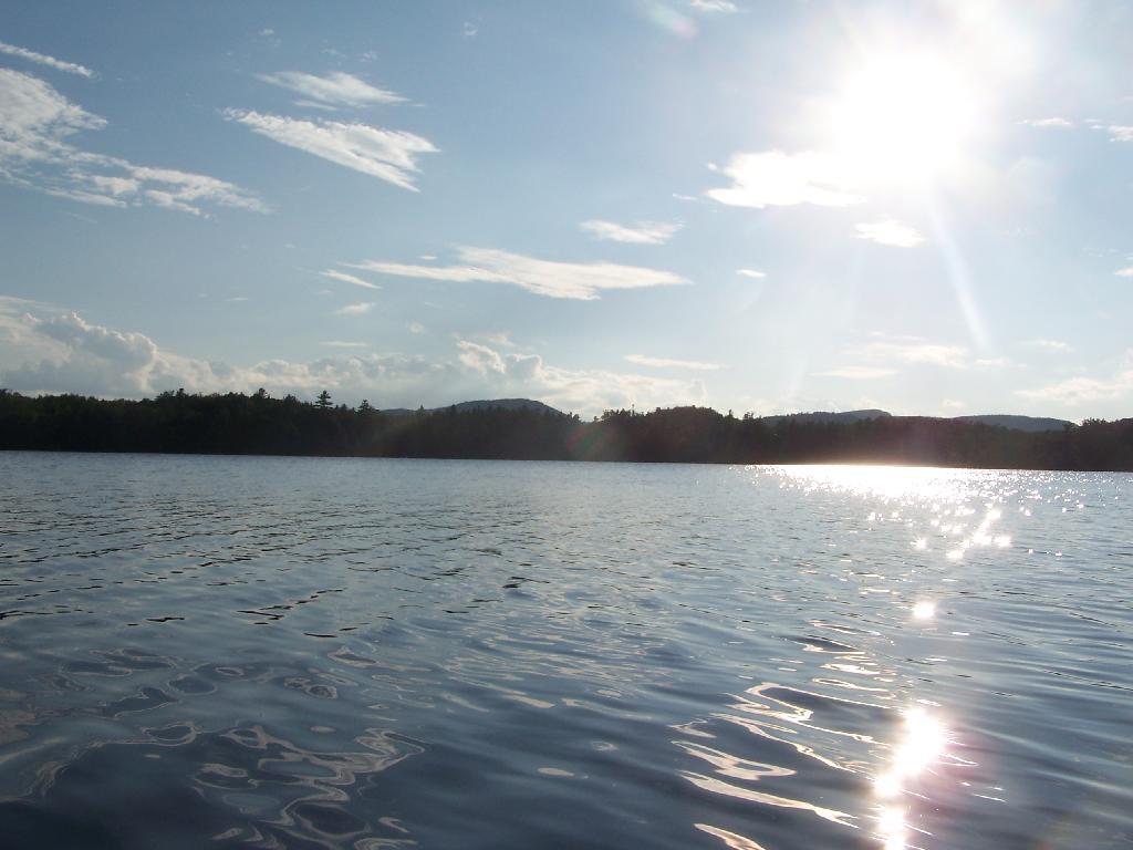
Choppy Waters. The water was somewhat choppy on Horsehoe Lake as there was a steady breeze as the weather was clearing out.
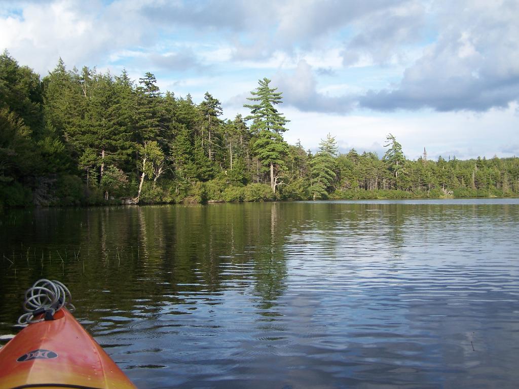
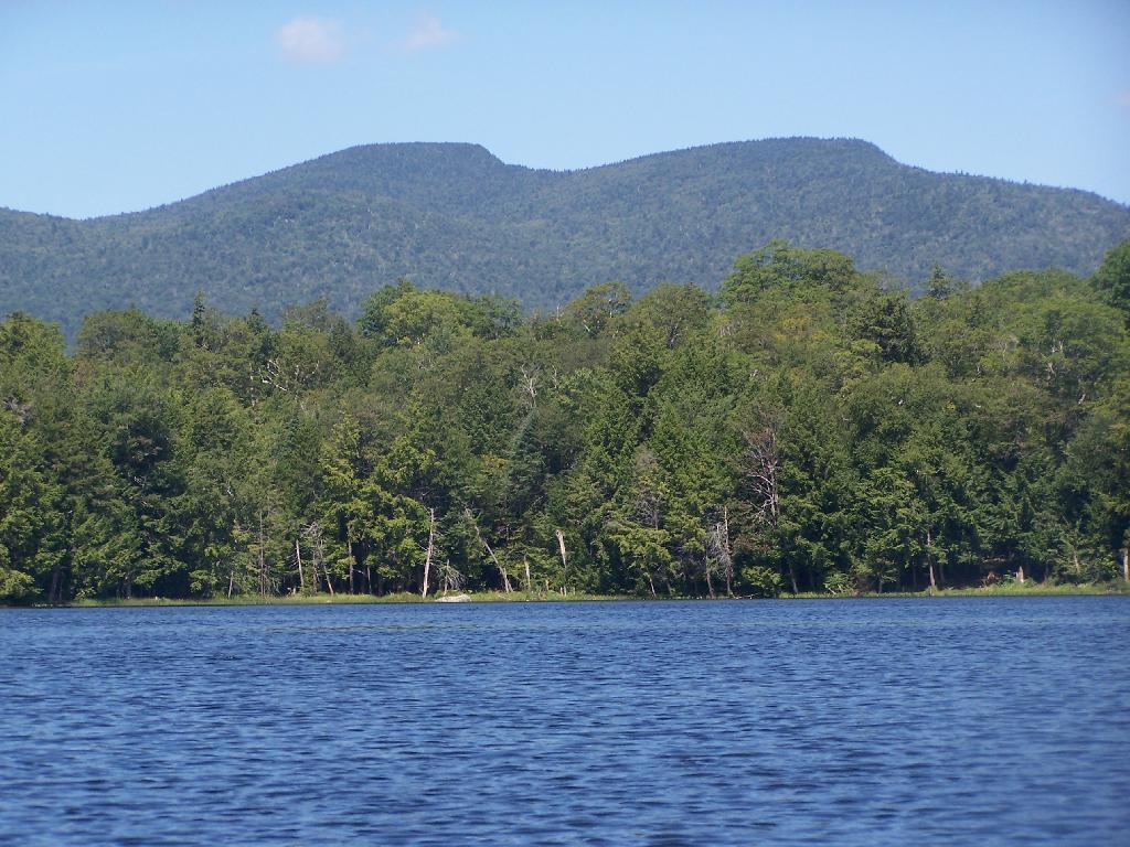
Northeast Tip. This is the upper tip of the Horseshoe Lake, in the most North-Eastern portion.
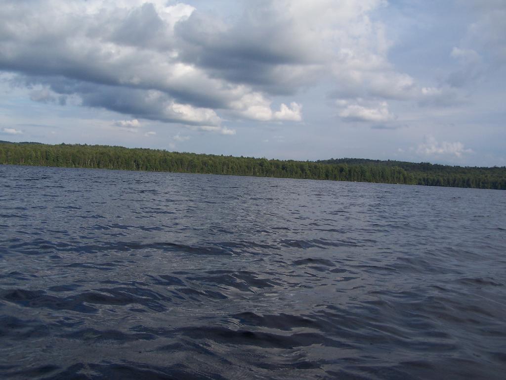
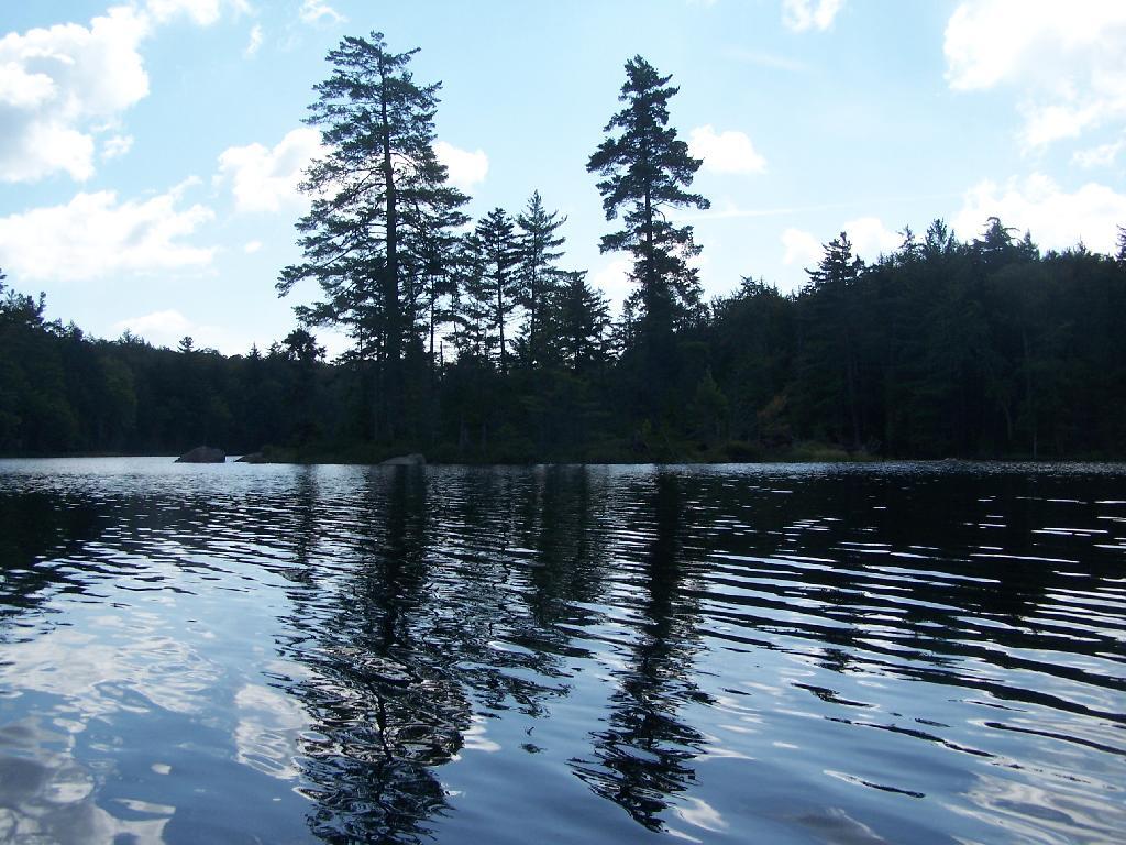
Heading Around The U. Horseshoe Lake is fairly large, all things considered. The open bays can be a bit rough, especially when you get into the wider portion of the U in the horseshoe.
Blinding Sun. Heading West across the Lake, I was going directly in the path of sun at 7 PM. Even with sunglasses on, the sun was bright and painful, leading to a temporary sunblindness. I ended up tacking North-West then South-West to avoid the sun, and the choppiness of the water.
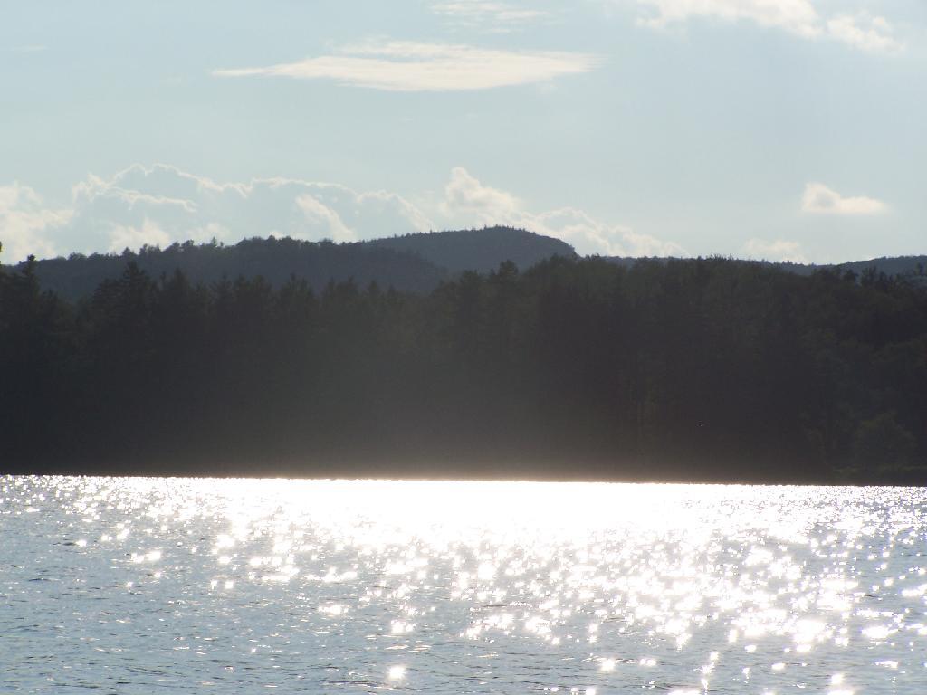
Glare. In the background rises Silver Lake Mountain, that beautiful ridge one sees most clearly from paddling around Hitchins Pond/Lows Lake in the Bog River Canoe Area.
Other End of Lake. This is where NY 421 first hits the lake, heading west on NY 421 from Mountain Camp. You could say that it’s other tip of the Horseshoe. About 3 campsites, spaced 1/2 mile apart, are located on the lake.
Mason Lake is located in the Adirondacks just off NY 30. It has primative camping, I camped their last night (August 10th), and also camped there on July 31.
It’s a two hour drive from Albany, so it’s not as far north as Moose River Plains, and can be done on a Friday night. It’s fairy popular, but there is usually some of the 6 out of 12 non-lake side campsites are always avaliable, and it’s not like it’s ever crowded on the lake in a boat.
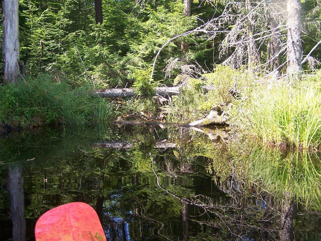
I paddled down to the southern end of the lake, with a stream exiting Mason Lake. This part of the Jessup River is unpassable by kayak due to many trees crossing on it.
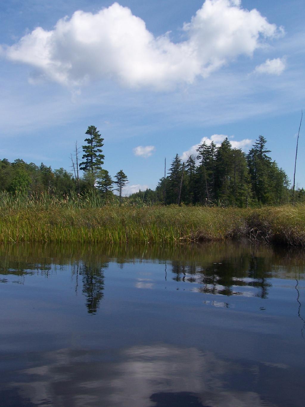
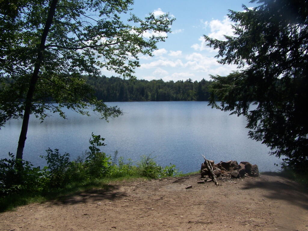
It was a beautiful day at Mason Lake with puffy clouds above.
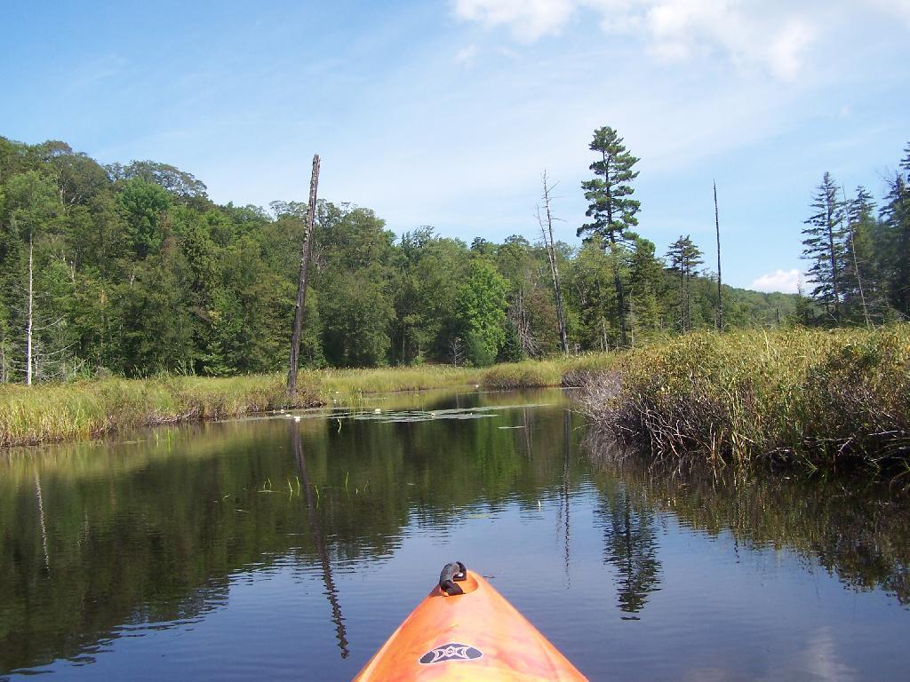
Thru Swampy End of Mason Lake. You had to watch out for trees on the bottom that you could get hung up on.
Jessup River Road. As seen from the southern end of Mason Lake paddling around.
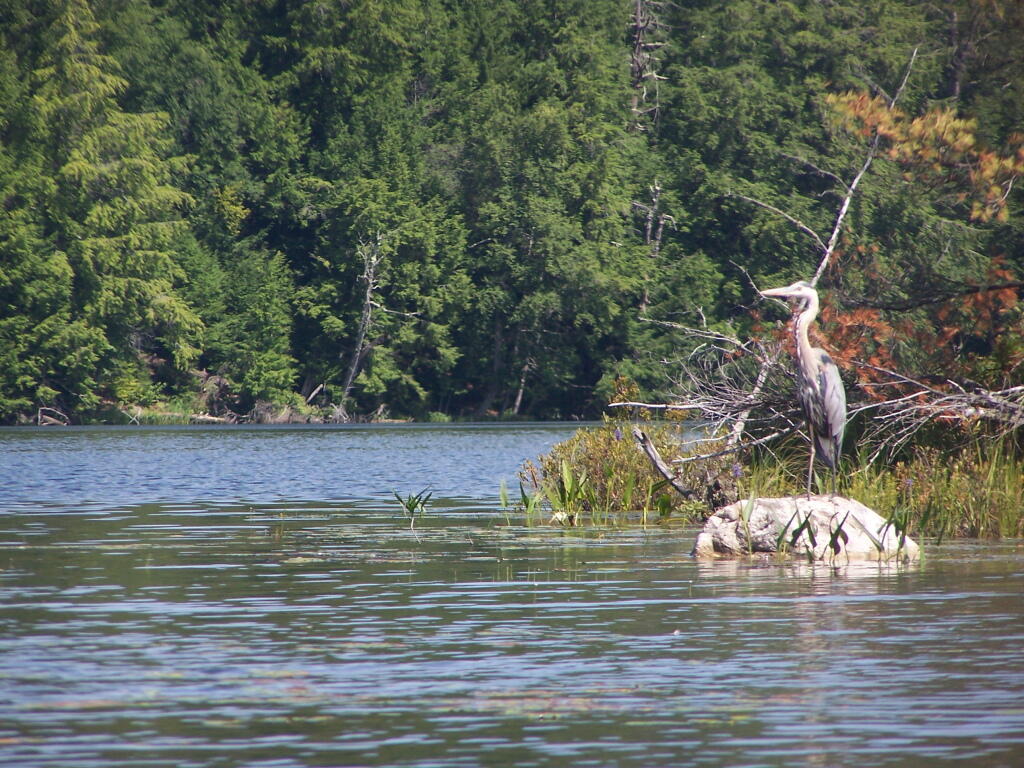
Great Blue Heron, standing tall on an Island on Mason Lake.
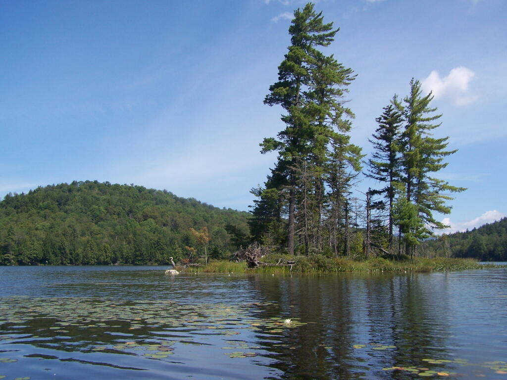
Snowy Mountain. As seen from the middle of Mason Lake.
Lower Blue Ridge. As seen from Mason Pond. Beyond this ridge is Moose River Plains and Cedar River Flow.
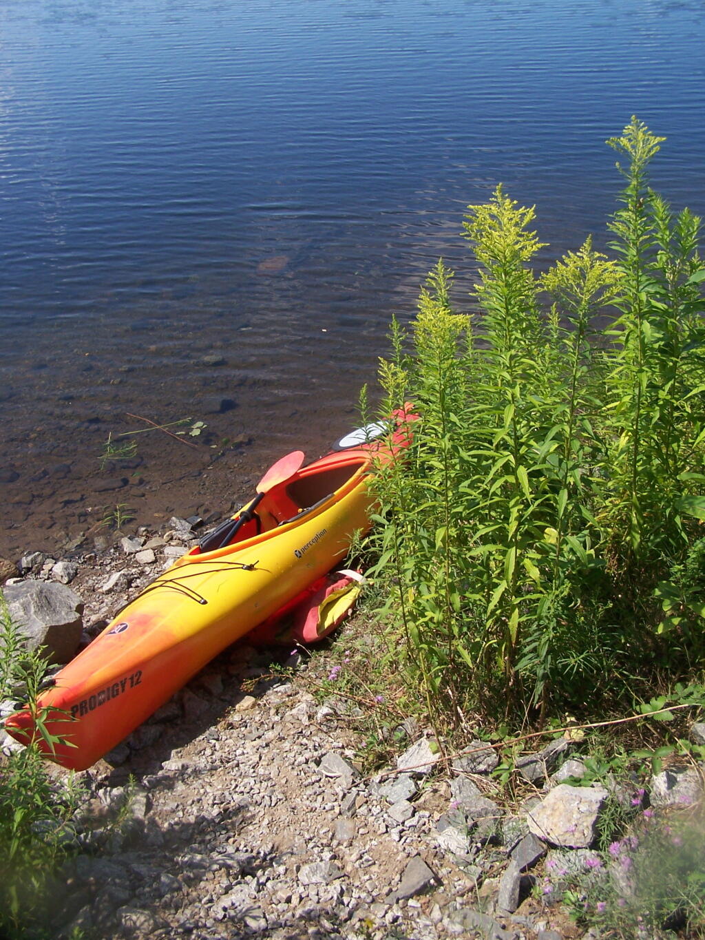
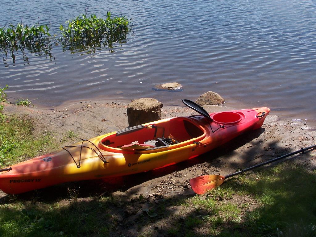
Kayak Parked at the Mason Lake Parking Area, where people pull off NY 30, totally oblivious to the camp sites across the lake.
Lakeside Campsite. This was the lake campsite at Mason Lake I camped out on Tuesday night. It was pretty nice that night, although I didn’t get any pictures, because I was dead tired after driving up two hours after work.
Truck’s All Packed. All I have to do now is put the kayak on the roof of my truck, and head north to Cedar River Flow for the next day of camping out.
Lake Side Parking. This by where I camped down at Mason Lake.
The campsite I stayed at with it’s views at Mason Lake. It was real nice.
Styrofoam Canoe Blocks I Made. I cut up an old styrofoam sleeping pad, rolled it up, cut notches, and duck taped it all together. It worked well, far better then trying to let the kayak ride directly on the roof of the pickup.
Here is a map of the lake. 12 Campsites are located along Jessup River Road, 3 which are RV/truck accessible with water, 3 that tent sites, and about 6 nearby the water. It’s great.