Search Results for: photo campsite 2 2

Cumberland Head State Park

The first night of my vacation it was very hot and sticky out. By the time I had reached Plattsburgh I decided I would just find a campsite at Cumberland Head State Park. I probably could have gone to a nicer state park, such as Malcom Reservation or AuSable Point, but I wanted to be close to Plattsburgh and spend a lot of time visiting old haunts in the town and up at Point Au Roche.

Swimming Beach

Once I got there I dug out my swimming truck, and ran for the swimming beach, as I was hot! Driving up from Albany in all the heat and humidity, I got a terrible sunburn through the windows of my truck. I also don’t have air conditioning, and the humidity was pretty extreme on this Sunday morning.

Camping at Cumberland Head State Park

The water was nice. The campsites on Cumberland Head State Park are pretty close together, and are like camping in a giant field with a bunch of other people. I’m not a fan of state campgrounds at any rate, but it beat trying to hike up Pok-O-Moonshine and look out to nothing from the fire tower.

In the Haze

If you want cheap digs near the City of Plattsburgh, then you can’t beat Cumberland Head State Park. It’s only $15 a night, plus a $2.50 service charge for the first night, and is within a mile from downtown. The beach is nice, and when it’s not so damn hazy, the view of the mountains is amazing. That said, I’m not a fan of state parks, especially the “extreme enforcement” of quiet hours, but those showers are nice in such hot weather.

Slide Mountain

I decided it was a nice day out, and I wanted to be able to say I had gone up to the tallest peak in the Catskills, at 4,180 feet. According to Wikipedia, it may actually be somewhat taller then that (as much as 4,200 feet), but they’ve never done a bench mark on the top of it.

The first part of the trail is fairly steep.

Continuing Downhill

It climbs up to an old woods road, that is an easy walk and relatively flat, as it goes up to the Curtis-Olsbee Trail. You see the split between the old Jeep trail up Slide Mountain, and the the trail to Curstis-Olsmbee.

Slide Mountain Options

The trail crosses a high footbridge, without rails. It once was a full-size bridge for vechicles, but no more.

Foot Bridge

Reaching a historic marker of Curtis-Olmsbee Trail.

Curtis-Olmsbee Winds Uphill Slowly

You climb, and then there are some places with views to South and West as you continue along. A few moderately steep places, but overall the trail is not super-steep.

Views to the South

The trail once you reach the first couple of views, remains relatively flat as you wander past several swamps and borreal forests.

Borreal Forest

When you reach almost the top there is a point where you can see almost 70 named peaks.

Trees and Mountains

Enjoying the mountains.

Texature

The top of the mountain is John Broughs Point. It has some interesting, partial views to the north and east.

Pinnacle of Slide

Remembering John Bouroughs

The Ashokan Reservior from Slide Mountain.

Asokahan Reservoir

An established, primative campsite about 3/4 the way down the mountain or one mile from the Slide Mountain Parking Area.

Camp Over This Way

Campsite

By the time I left, the parking lot was packed.

Packed Parking Lot at Noontime

Here is a map of the route I took.


View Hikes of 2009 in a larger map

Leonard Hill

There is a currently closed, but slated for reconstruction, fire tower a top Leonard Hill in Schoharie County. You can drive up there with a car or truck as the road is well maintained.

Truck Trail to Tower

You get there by driving out Broome Center/Potter Hollow Mountain Road, then taking a left up Leonard Mountain Road, which is located right in the middle of Broome Center. You take Leonard Mountain Road about a mile until you see an truck trail marked solely by a “Leonard Hill State Forest”, and take a right on it.

Lenoard Hill State Forest Sign

After about a mile on this truck trail, you are on a ridge between Hubbard Hill and Leonard Hill, and can see Leonard Hill Fire Tower ahead. Continue on that truck trail by another mile, and you’ll arrive up to the tower, and you can drive right up to it’s base.

Drive Right Up

The tower looks a bit rusted in a places, but structurally good. It is awaiting a reconstruction project that the last time I had heard was delayed by concerns over the high cost of gasoline last summer.

The Tower

To discourage people from climbing a potentially unsafe tower, they have removed the first two flights of stairs.

Bottom Steps Removed

Just across from the tower is a beautiful campsite, with some fantastic views of the Catskills and the Schoharie Valley. I spent the following night down there, camping out. It was cloudy that night, however if the weather was beautiful, there could be a great sunset to watch from here.

With a View

Here is the Schoharie Valley.

Schoharie Valley

Blenhium Mountain and the NYPA Blenhium Power Reservior can be seen well from the campsite. The reservior is partially lit up at night from generating equipment and safety lights by NYPA.

Pump Storage Reservior

Here is the valley below, and the mountains beyond it, the Emminence State Forest.

Powerlines

Here is a map of Leonard Hill.


View Hikes of 2009 in a larger map

Third Weekend at Burnt-Rossman

The primitive campsites at Burnt-Rossman are my favorite place to visit. They are in a remote part of Schoharie County, yet only a 10 minute drive from I-88 and a total of an hour and ten minutes from my place in Delmar. There is ample water, and the sites have nice little fireplaces, and places to camp where you can drive in.

Stone Table

It rained on Friday night, so I put up my tarp. I spent much of Saturday going between the creek up there with my feet in there, and sitting in this very comfortable chair, reading Noel Perin’s Third Person Rural. It was very quiet Saturday, seeing all but one pickup going past, plus a family in a minivan, and three people riding horseback with cowboy hats.

Betty Brook

I had my Christmas lights up and stayed up really late several nights. It was great, and beat the horrible humid weather that people in Albany had to suffer through during this very warm weekend.


View Hiking in 2009 in a larger map

Ashokan High Point

Ashokan High Point is a mountain overlooking West Shokan and the Ashokan Reservoir, however due to trees the views to the east are limited. It is reached from a parking lot off of Ulster County Route 42, a windy low-speed road that lacks guardrail protection.

I visited this after doing Red Hill Fire Tower in another section of the Sundown Wild Forest, some 15 miles to the west (30 miles via road).

Trailhead Parking Lot Sign

The first two miles up the trail is up an old woods road, that is relatively flat and a pleasurable walk along the Kanape Brook and in a deep clove between Ashokan High Point and Mombaccus Mountain.

Built Up Fieldstone Trails

After you walk about a mile or maybe 45 minutes, you arrive at this nice little campsite right near the brook and the trail. It’s in a field, but has limited light for big portions of the day because the clove is so deep.

Campsite By Creek

The trail seems a bit long at times, but this is the kind of delightful walking you experience. Markers are sparse along this section of trail, but if your following the old woods road it’s easier to follow.

Nice Easy Walking

You then reach the sharp turn off the old woods road, to where the trail splits to the upper loop. As you can see, the turn is well marked.From here on out, you gain about 1,000 feet over the next one mile. It’s quite a bit steeper, but nothing is hands and knees hiking.

Don't Miss This Turn

As you start to do some serious climbing, you get partial views to the west.

Slight Views

And the trail gets steeper for the next 1/2 mile. They have put in several rock steps to make the climb a little bit easier. Nothing that couldn’t be made by a child or a pet though, and no scary views/ladders.

Steep Part of the Trail

Once you are within a 1/4th mile to the top, you stop doing much climbing. If your caught in a storm, this rock offers some protection.

Neat Little Cave

You’ve basically reached the top when you get this nice westerly view of Moccabus Mountain through the trees. You can stop over here, or continue to the top for better southernly views.

First Views

From the top, you have limited views looking south towards the Shawangunks, surrounded by trees. There supposedly is an unmarked trail you can take down to the “ledge” for 180 views. Without a good map, I decided not to proceed down to the ledge.

South of Ashokan High Point

The Shawangunks, shrowed in haze. They are small compared to the Catskills but an interesting profile in the sky.

Shawangunks

Along the top there is a trail that runs through a 1/2 mile of Blueberry fields. I was foruntate to be there when they where in season.

Saturday Evening Up at Camp

Clearing outside of South Kortwright

On the other side of the mountain, there is an informal campsite with fantastic views of the High Peaks Region of the Catskills.

Campsite with Views

The trail down the backside of the mountain is without views, and is less steep but much longer, and winds up and down a few ridges. Nothing really worth visiting — go back the way you came.

Trail Down Backside of Mountain

You return back to where the loop splits, and return back the trail you took up. It’s a 7.5 mile hike total, but a relatively easy one that you can do in a few hours in an afternoon, and not be totally exhausted.


View Hikes of 2009 in a larger map

Sugar Hill Firetower & State Horse Camp

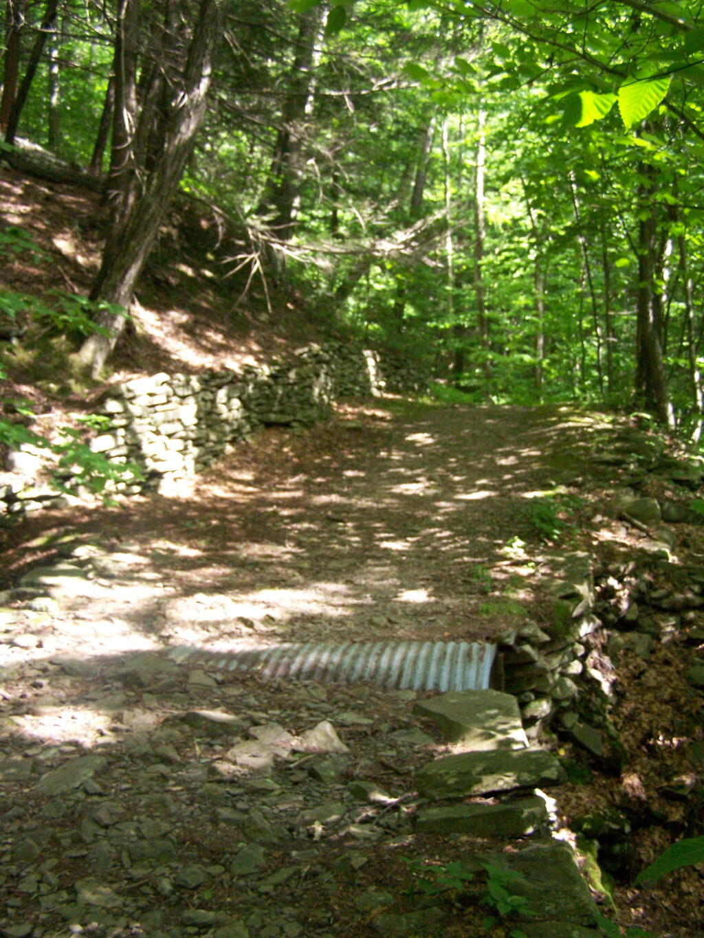
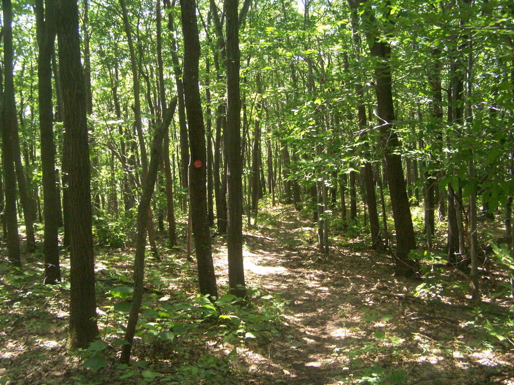
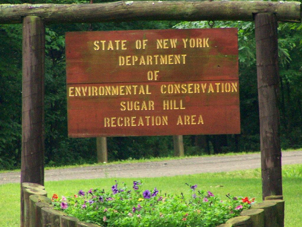
The final night of my Finger Lakes Trip I spent the night up at Sugar Hill State Forest, a series of 9,500 acres of state land, popular for horse owners. This parcel has two main camping areas, about 90 miles of horse trails, 3 lean-tos geared to equine users, and one nice new lean-to that is accessible solely by foot.

Sugar Hill Recreation Area

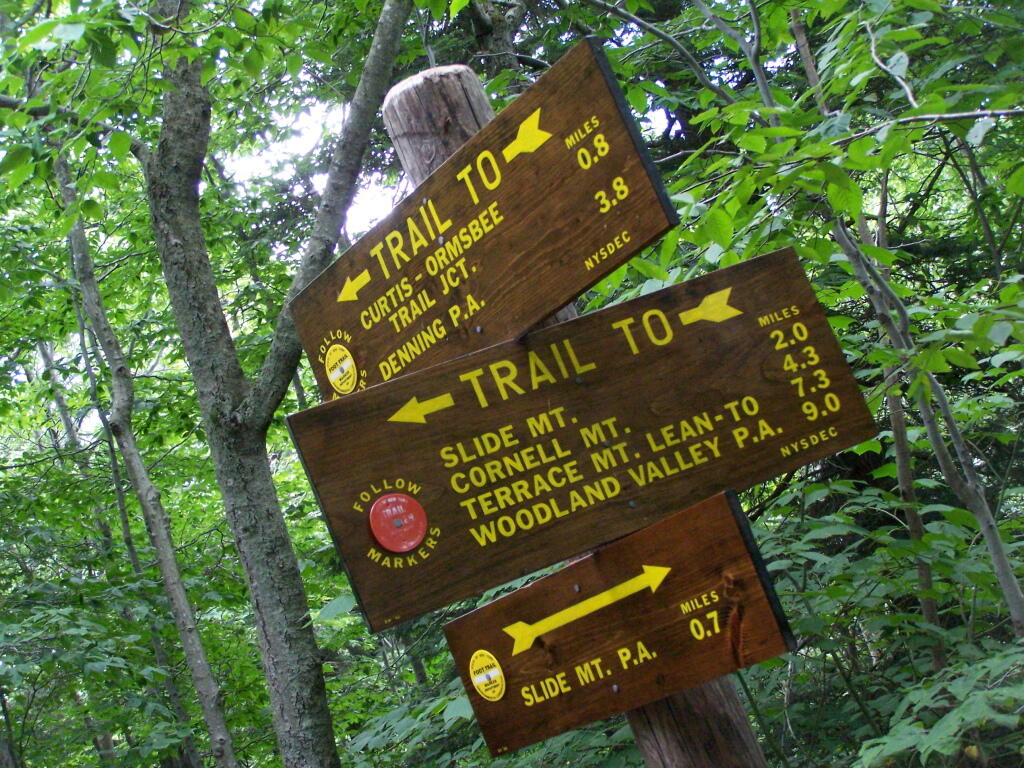
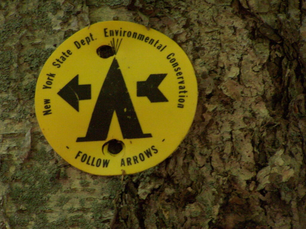
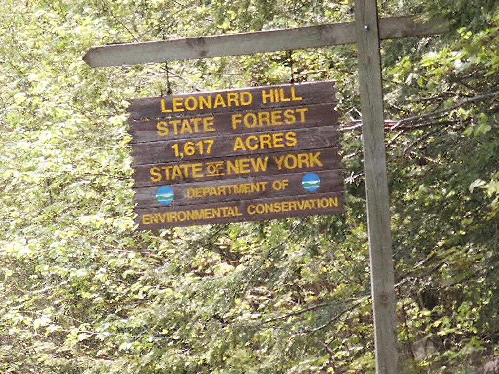
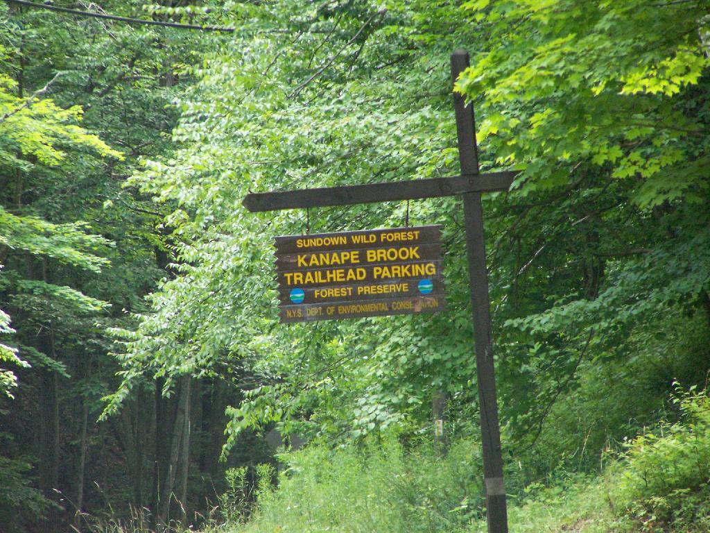
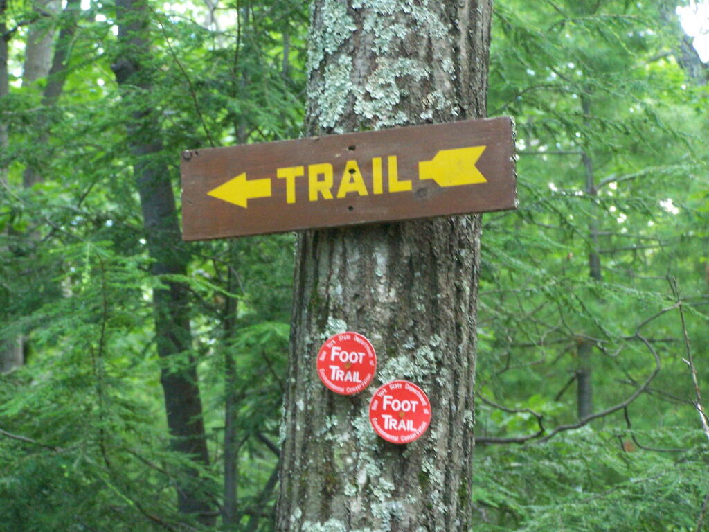
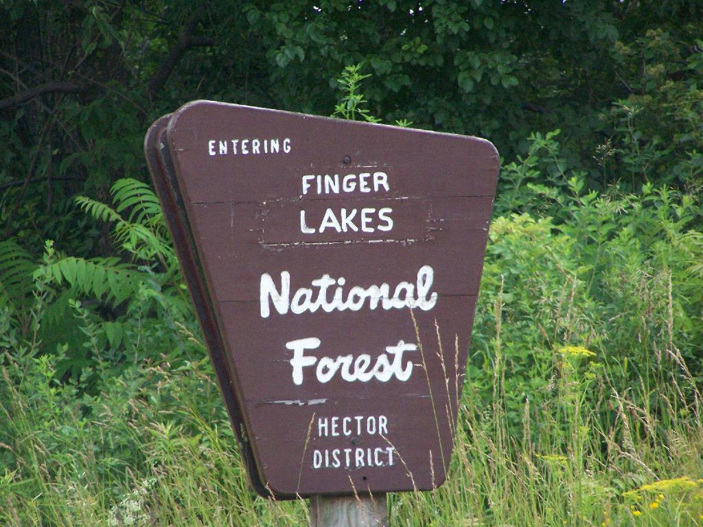
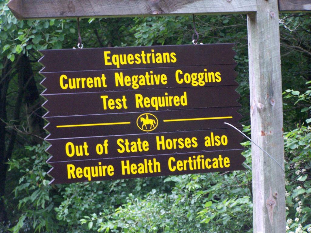
You don’t see signs like this located in downtown Albany.

Negative Coggins Test

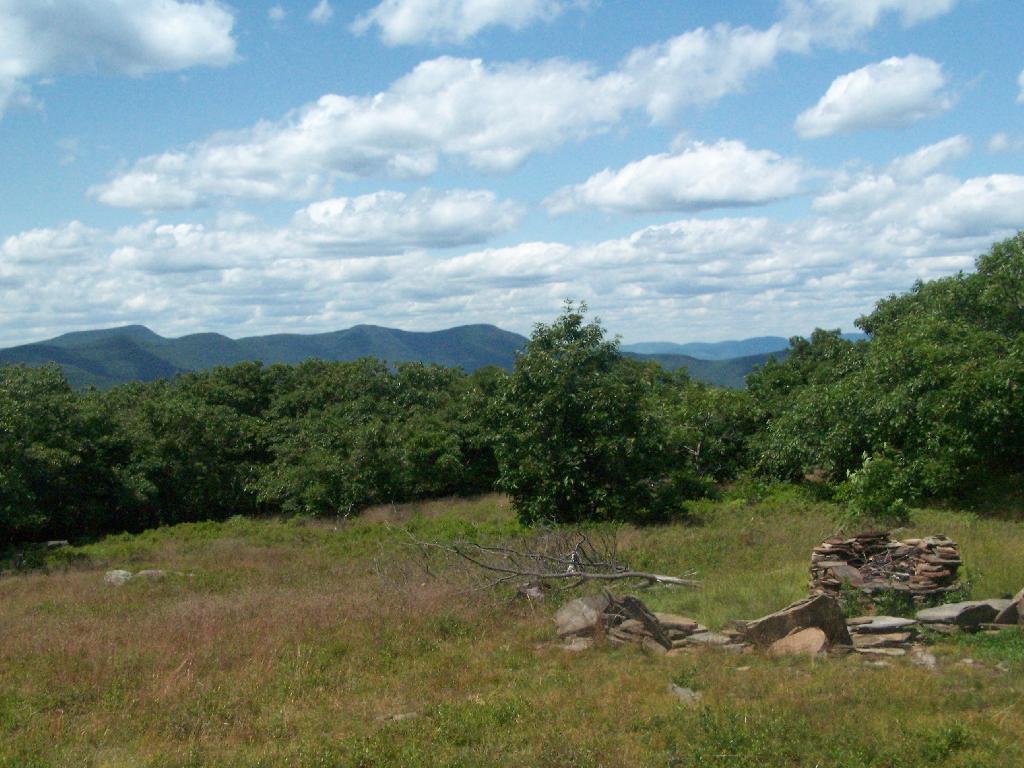
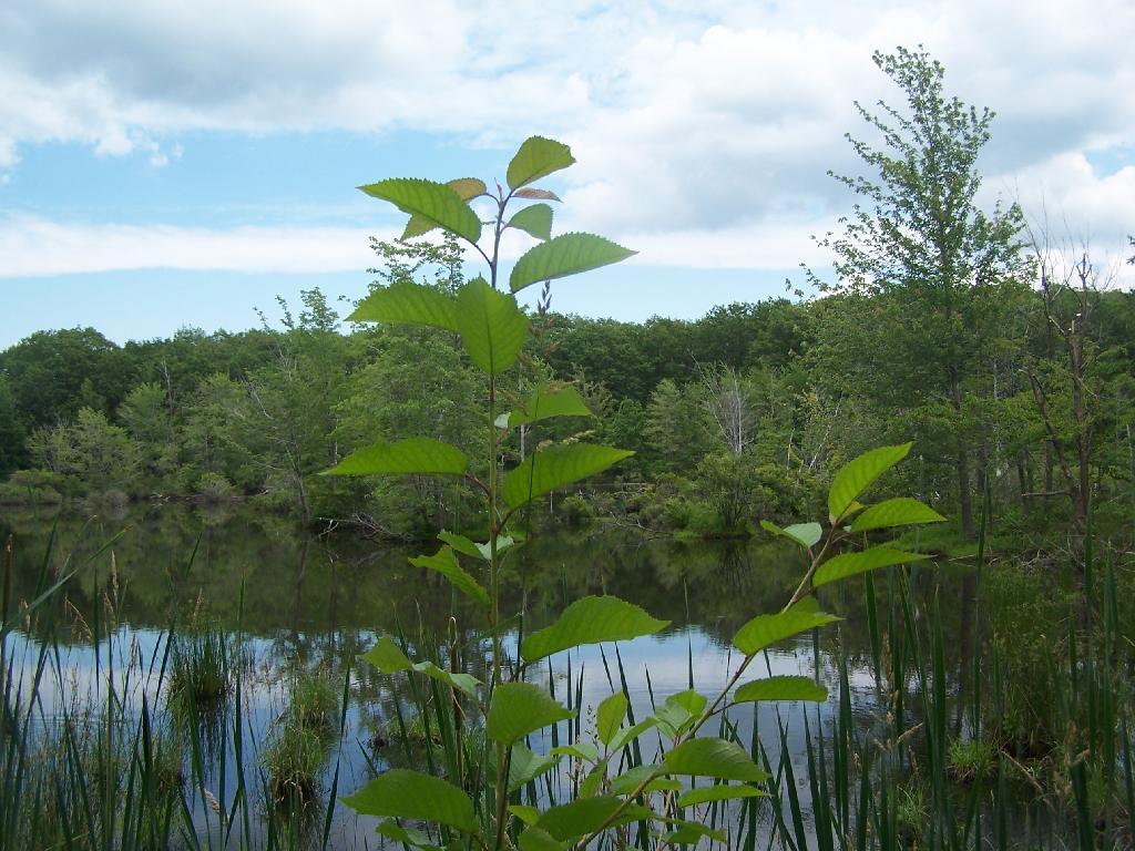
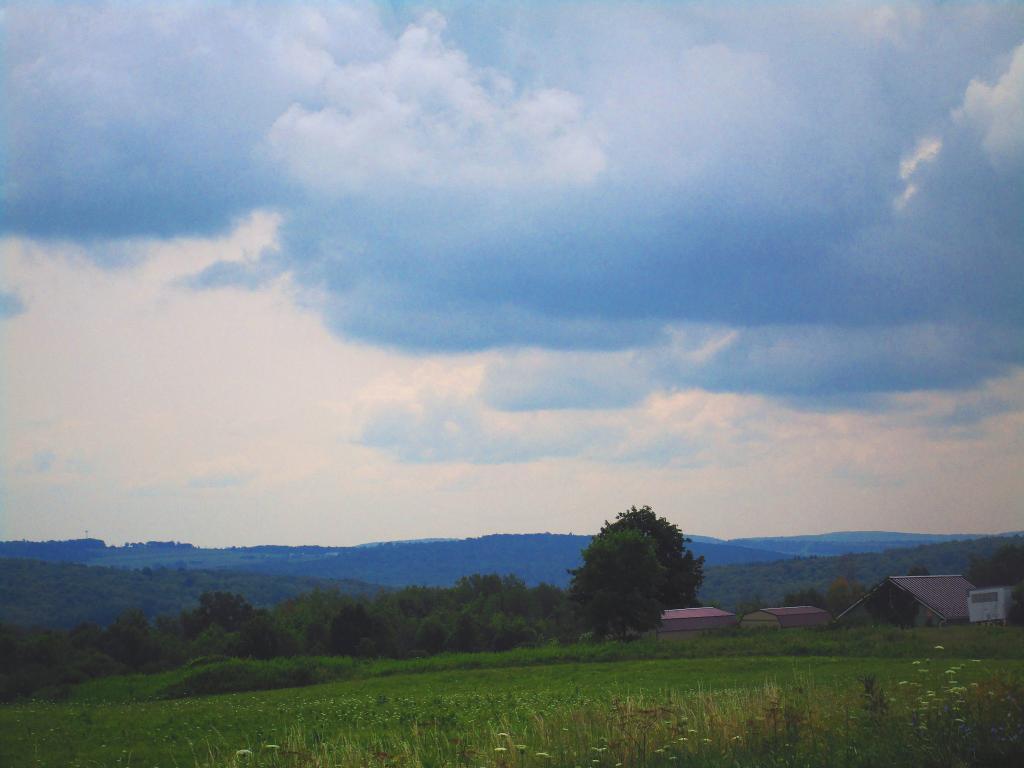
This is all conveniently located about 15 miles from Watkins Glen, at the headwaters of Townsend and Glen Creeks that make up the water that flows through the Glen.

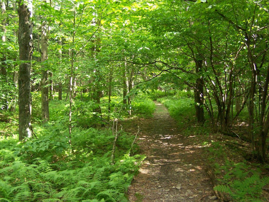
While I didn’t spend a lot of time going around and grabbing pictures of the Horse Camp, I did take some pictures and have some from when I visited this area during the previous summer. This was in part because the last day was rather gray, with heavy rain at times, and I was frankly quite tired.

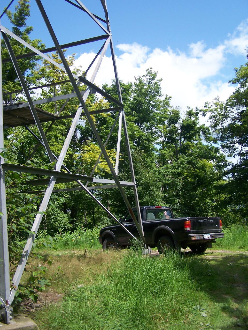
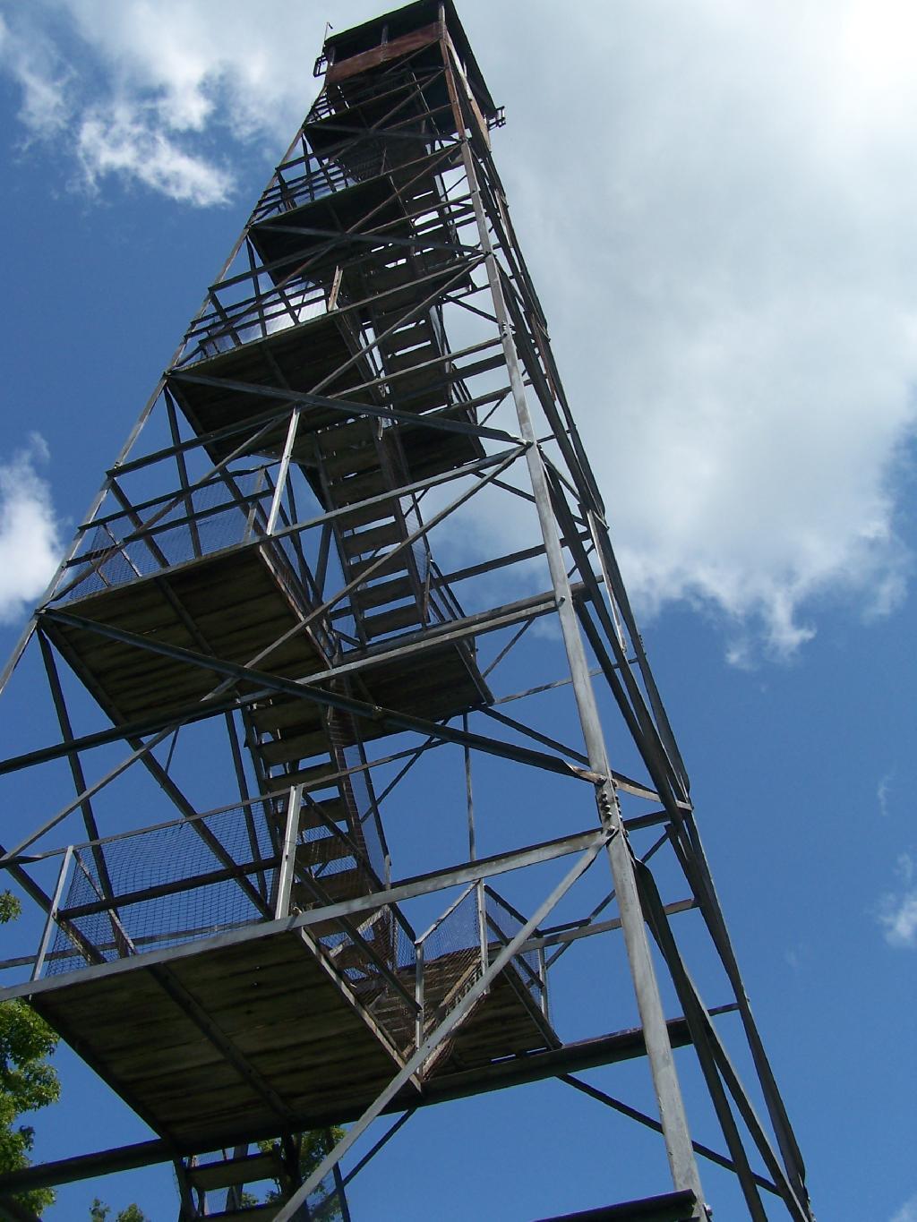
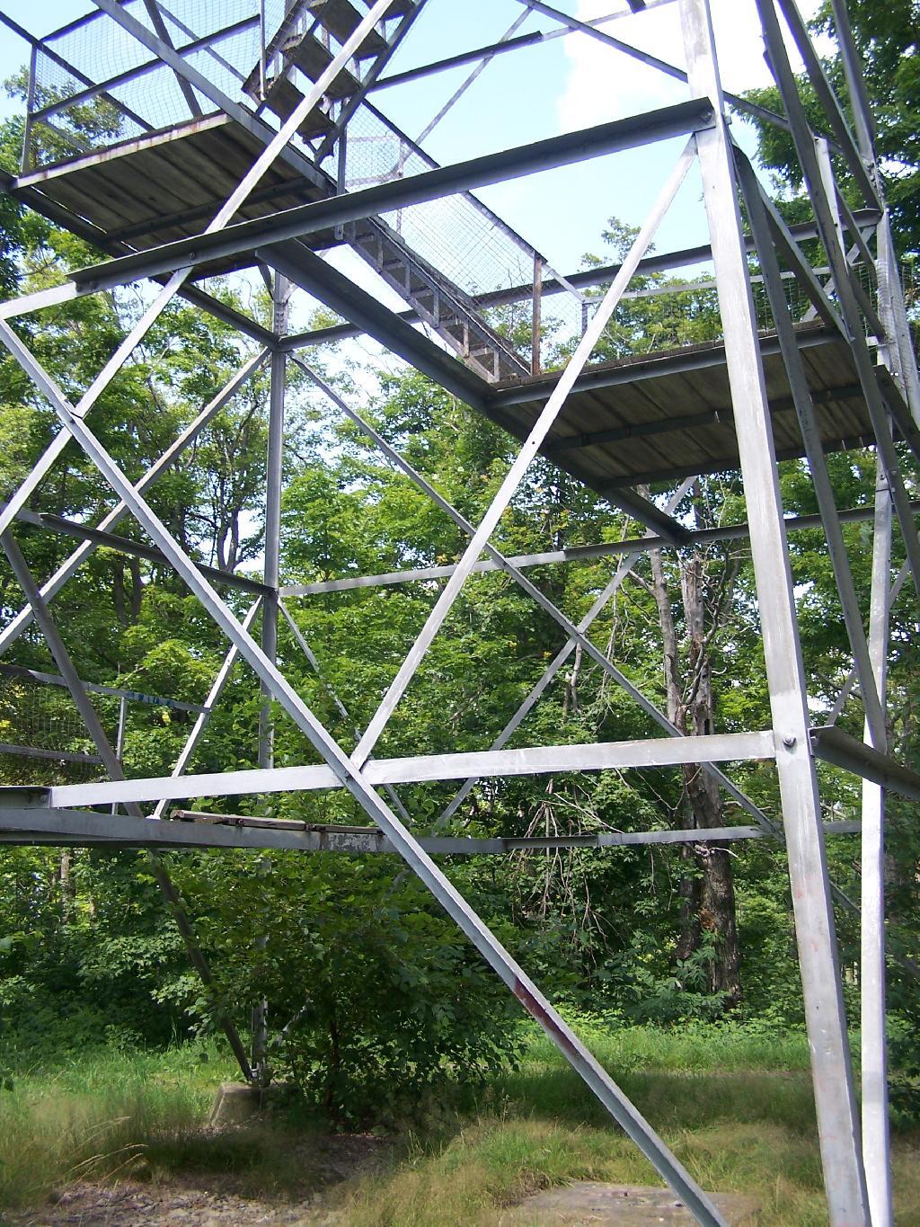
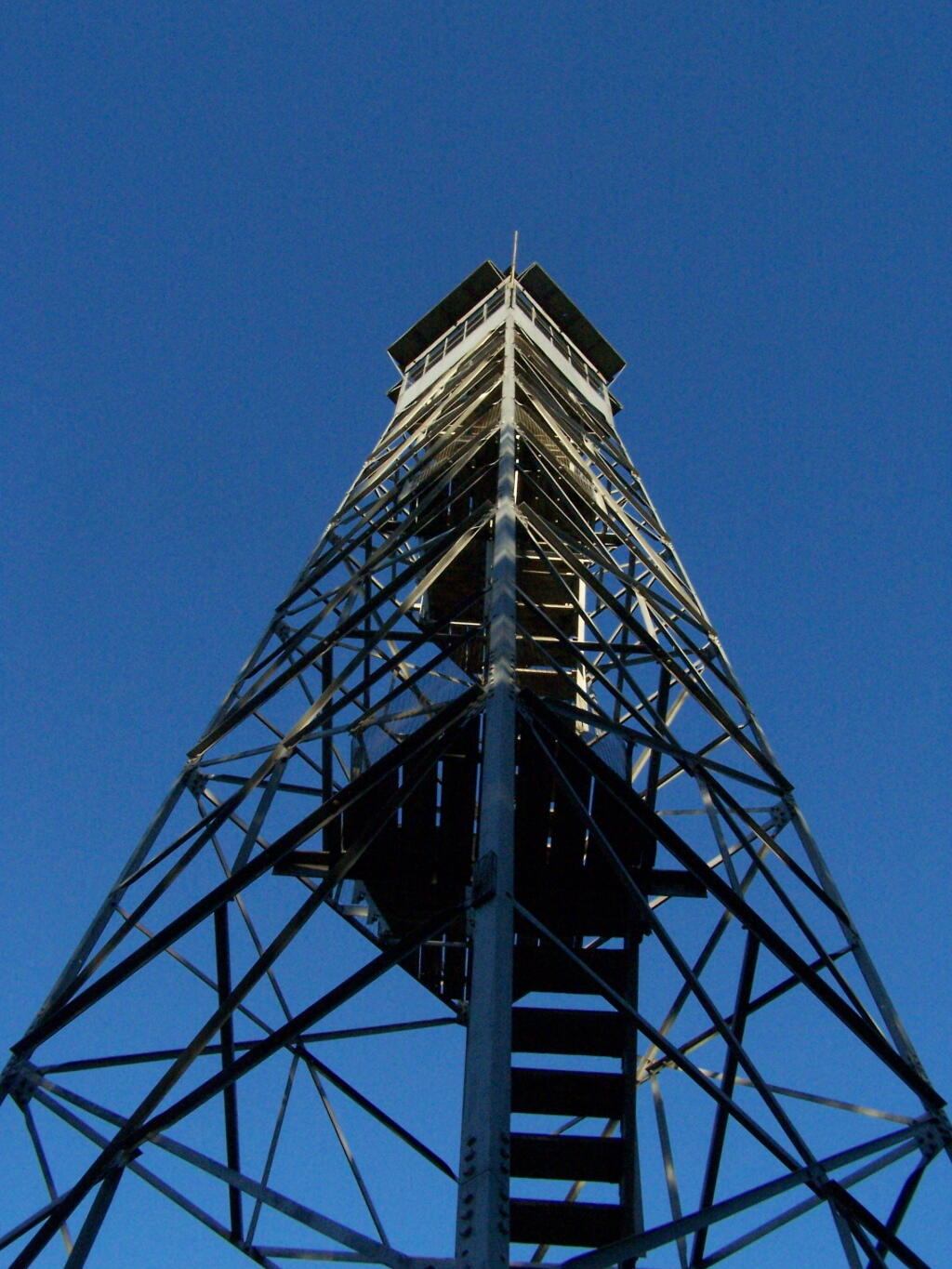
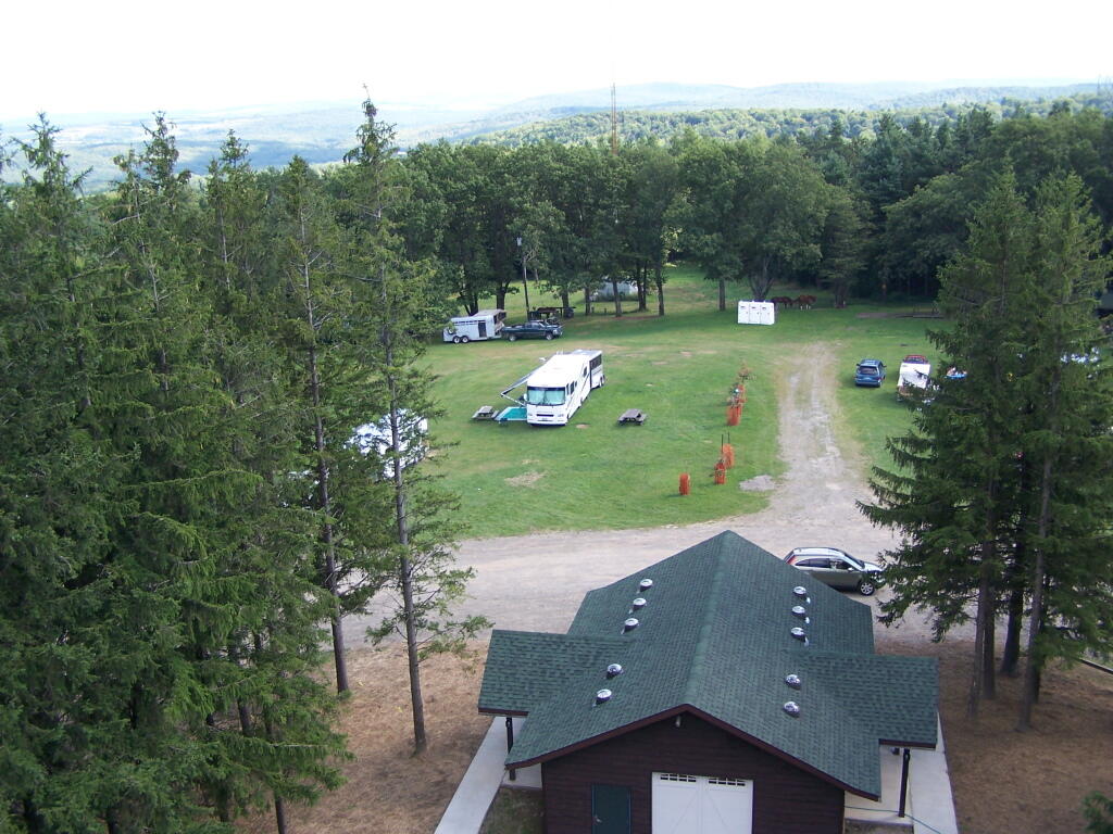
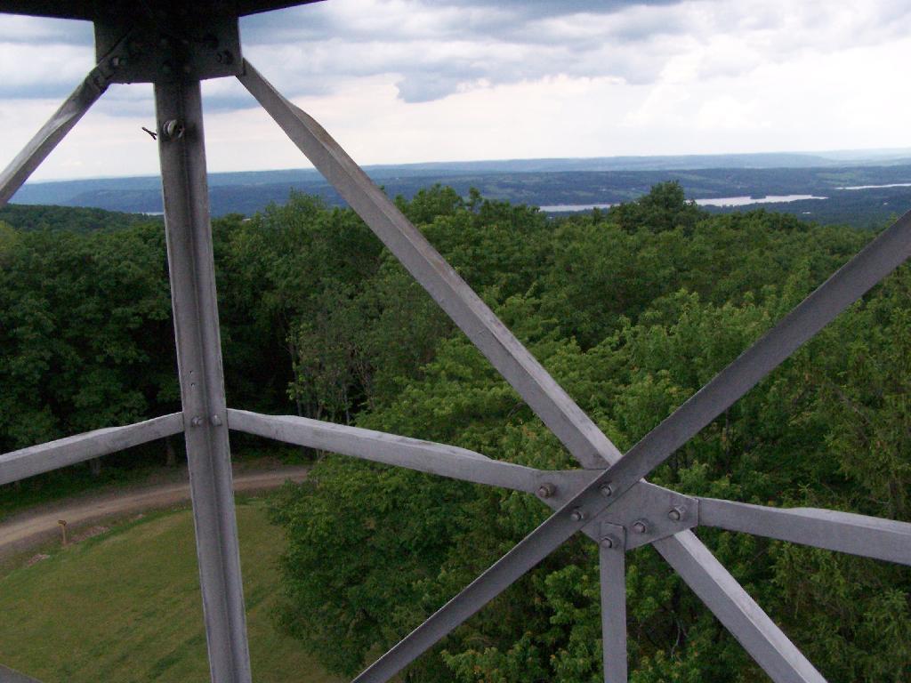
There also is a firetower at the main horse camp area, which is filled with RVs, horse trailers, and horses during the summer weekends. This is shown below:


View Hikes of 2009 in a larger map

Here is the fire tower:

Firetower

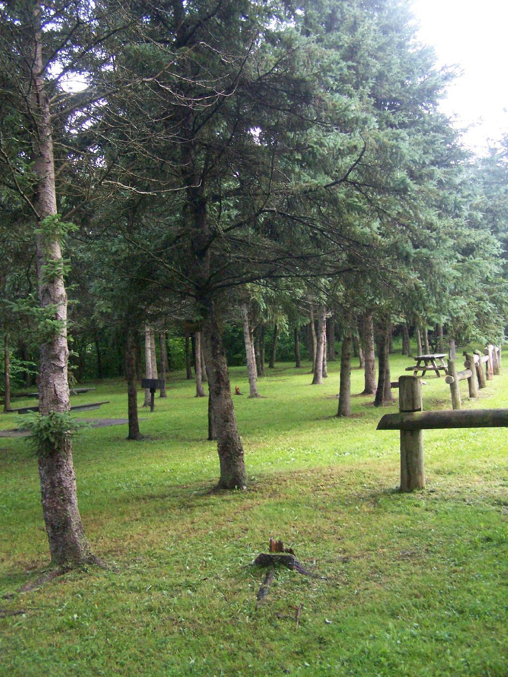
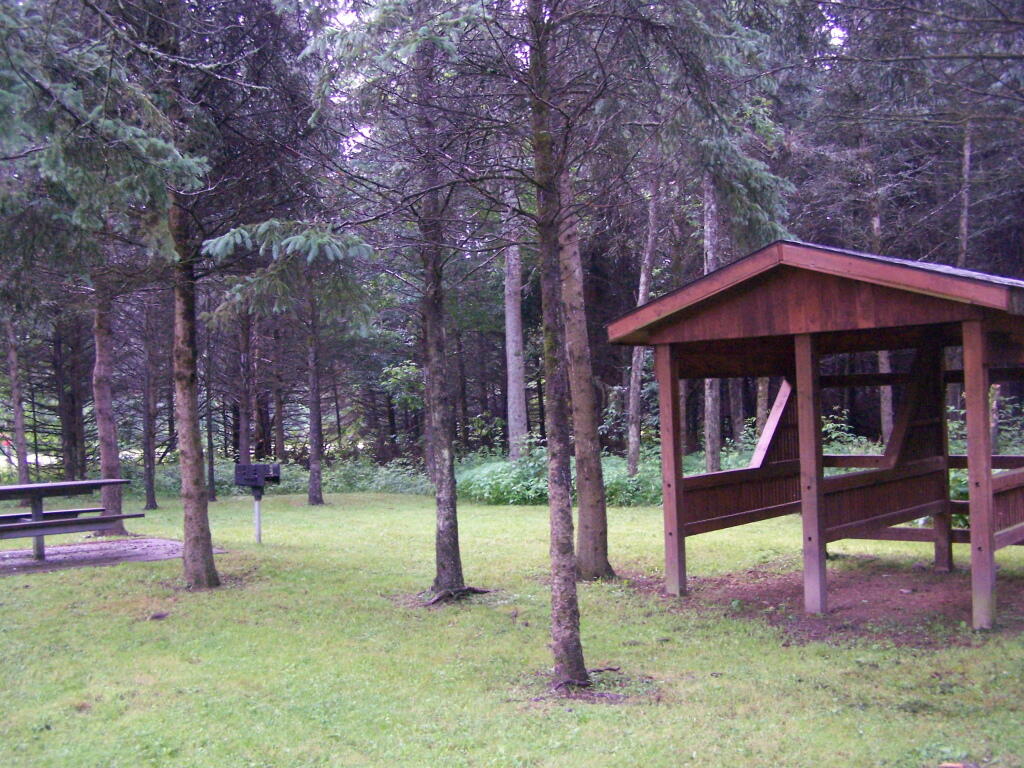
Here is the main horse camp, with new bathroom facilities including flush toilets. This was installed two years ago due to the popularity of the horse camp and contamination concerns by the overuse of the conventional pit privy.

Six Nations Horse Camp

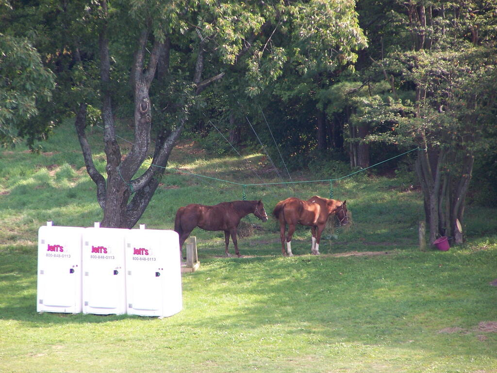
Horses tied up. I took this last year, when they where still building the replacement bathroom for the pit privy, and therefore the porta-potties.

Horseys

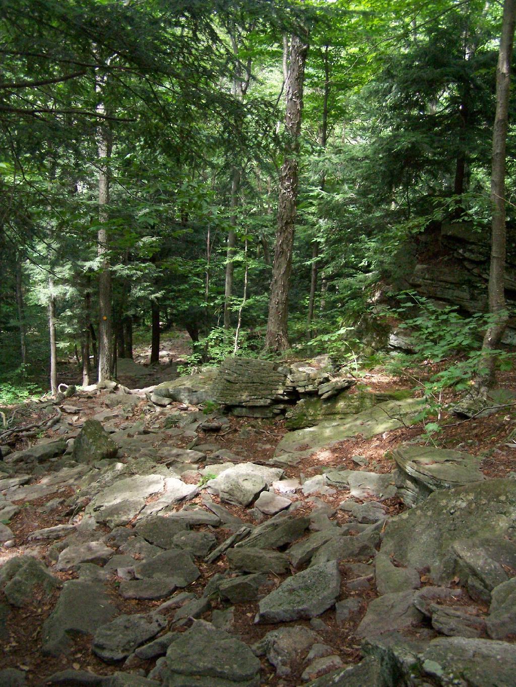
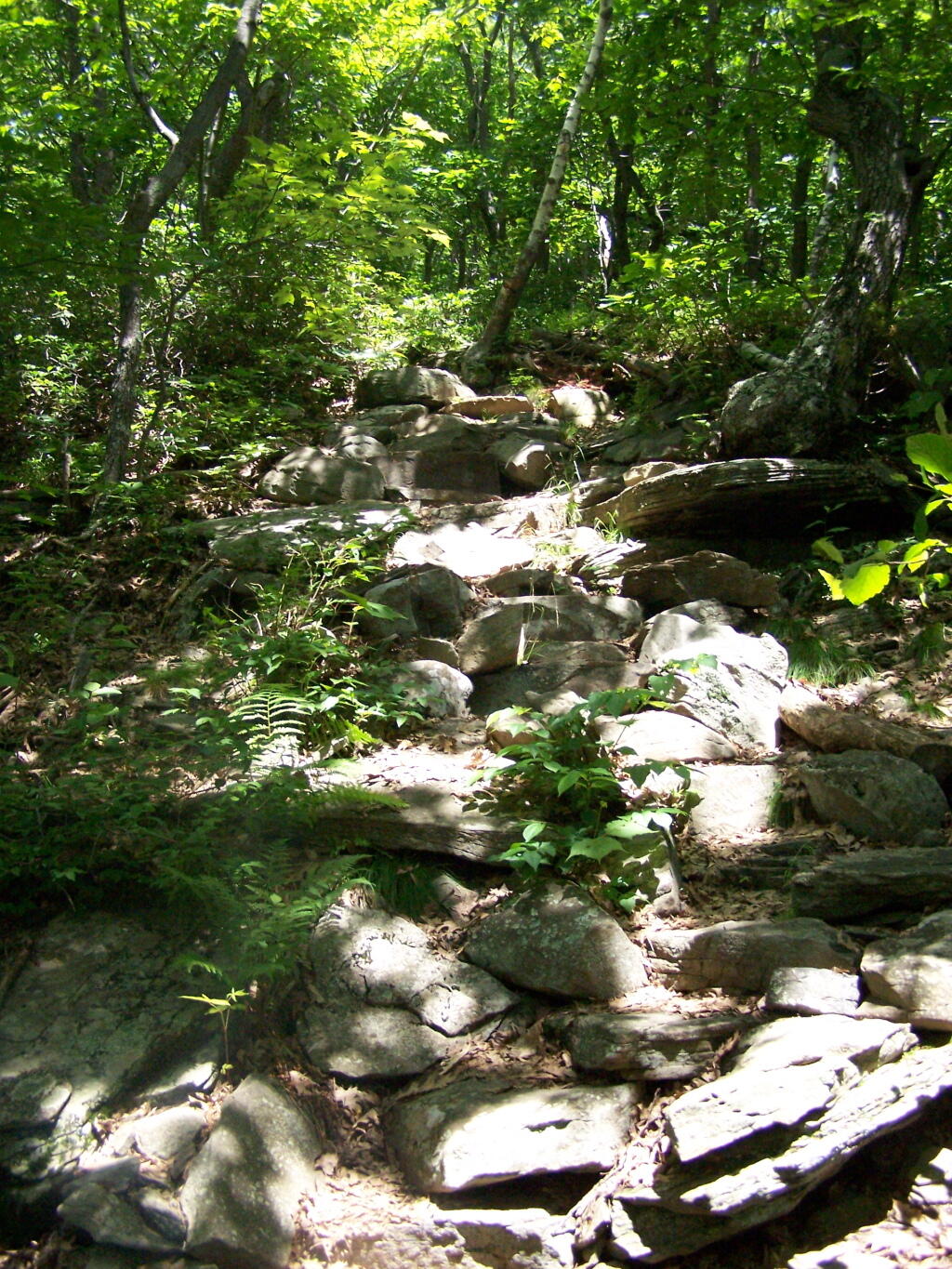
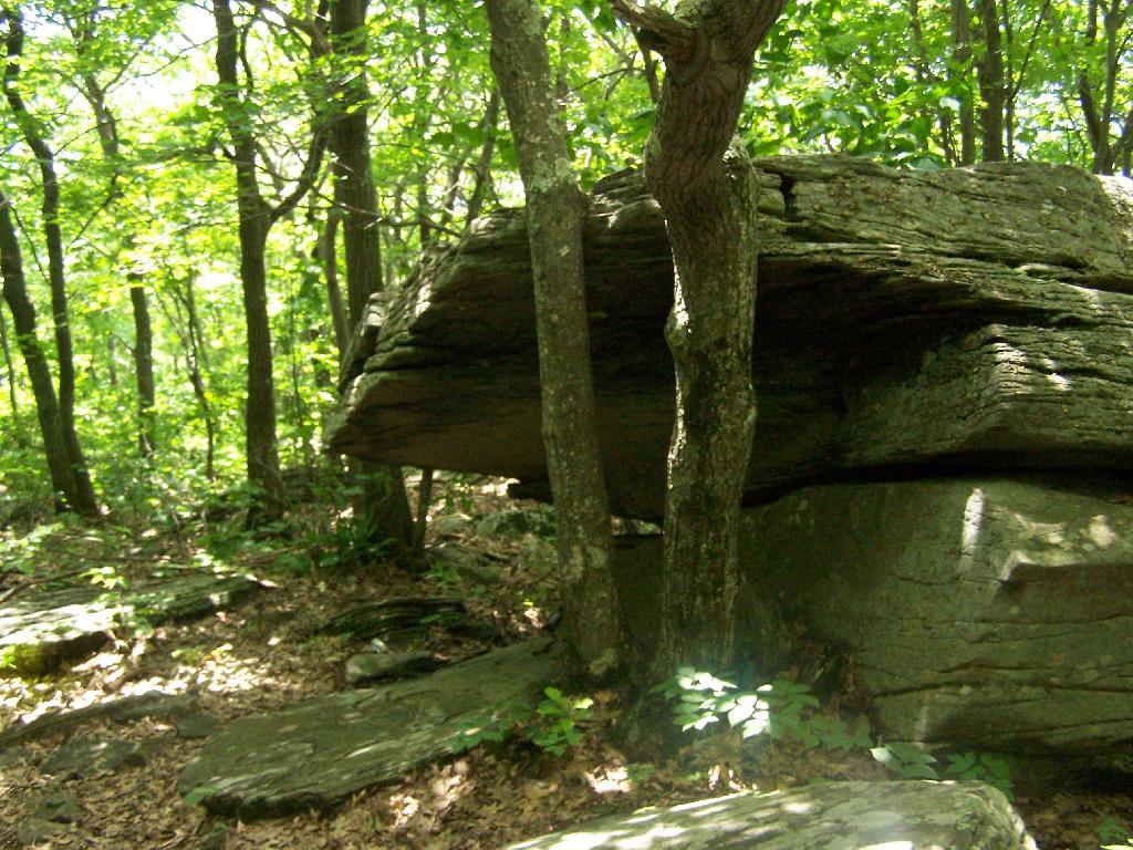
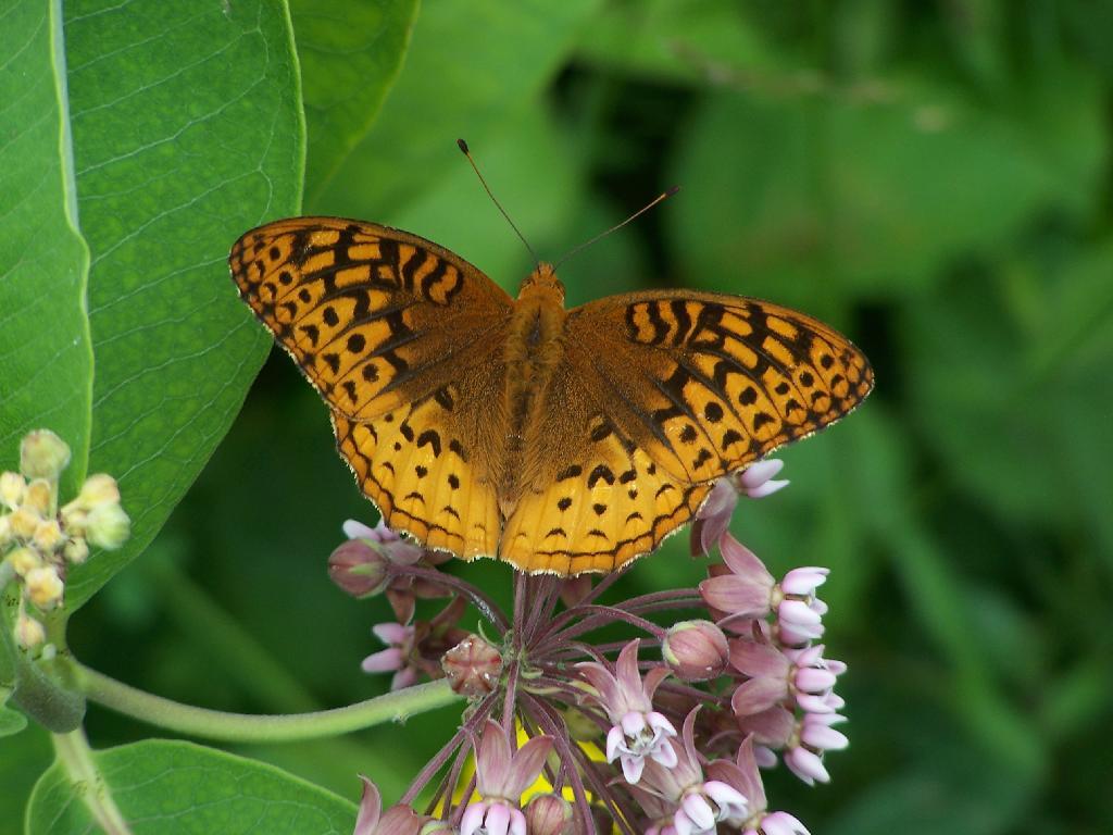
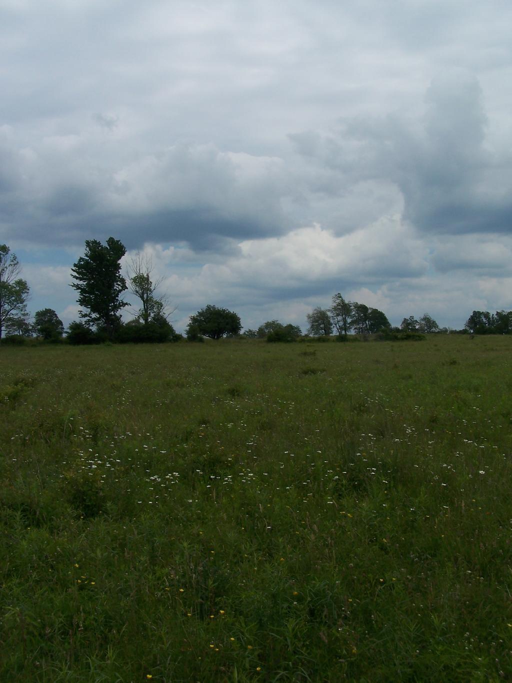
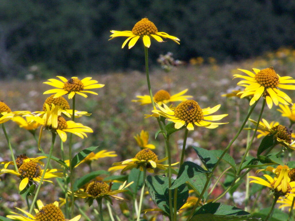
Some wildflowers noticed along a short walk…

Flowers

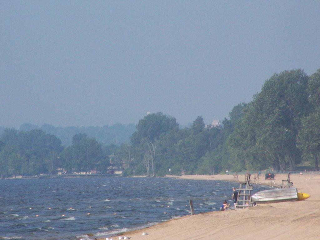
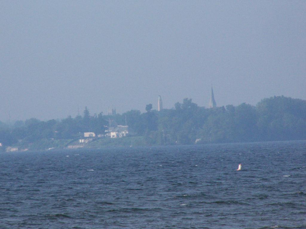
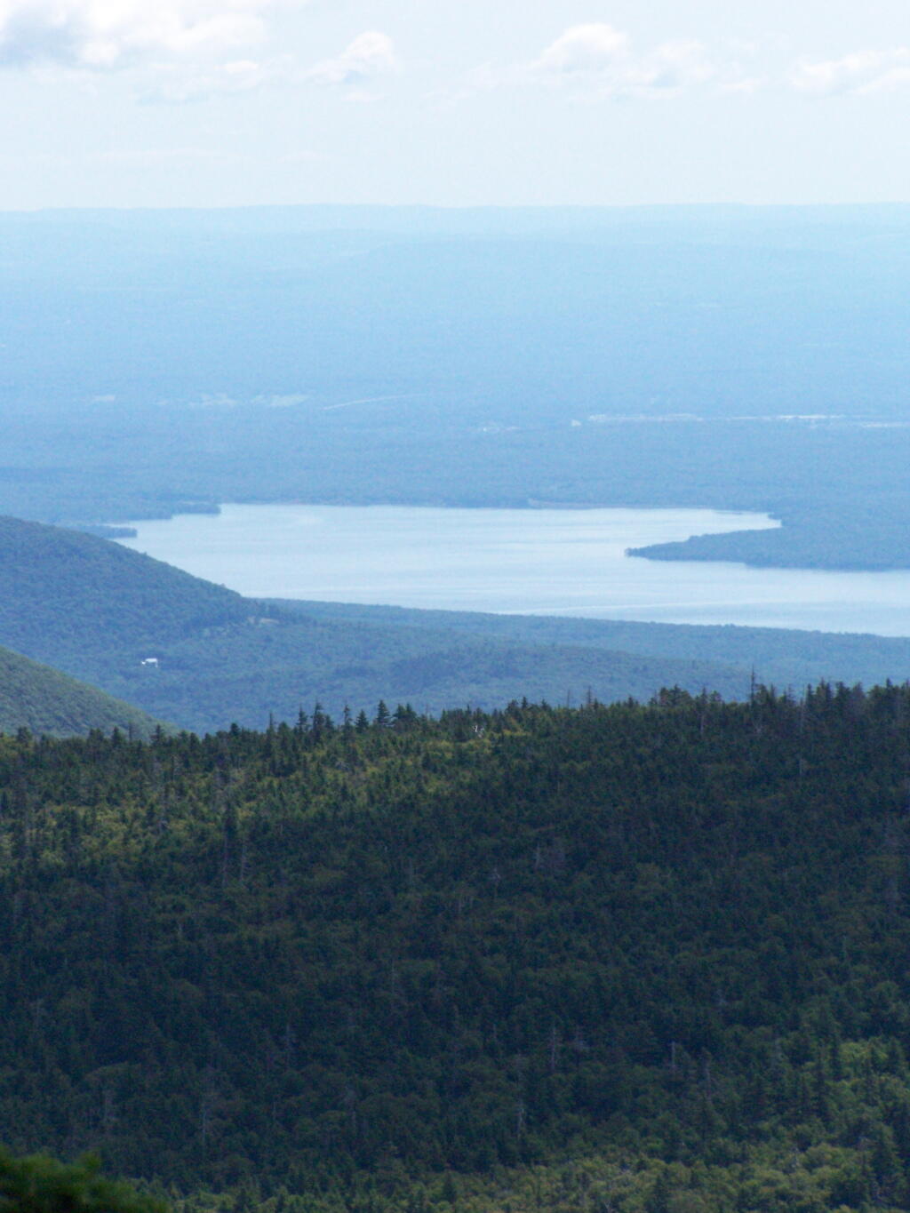
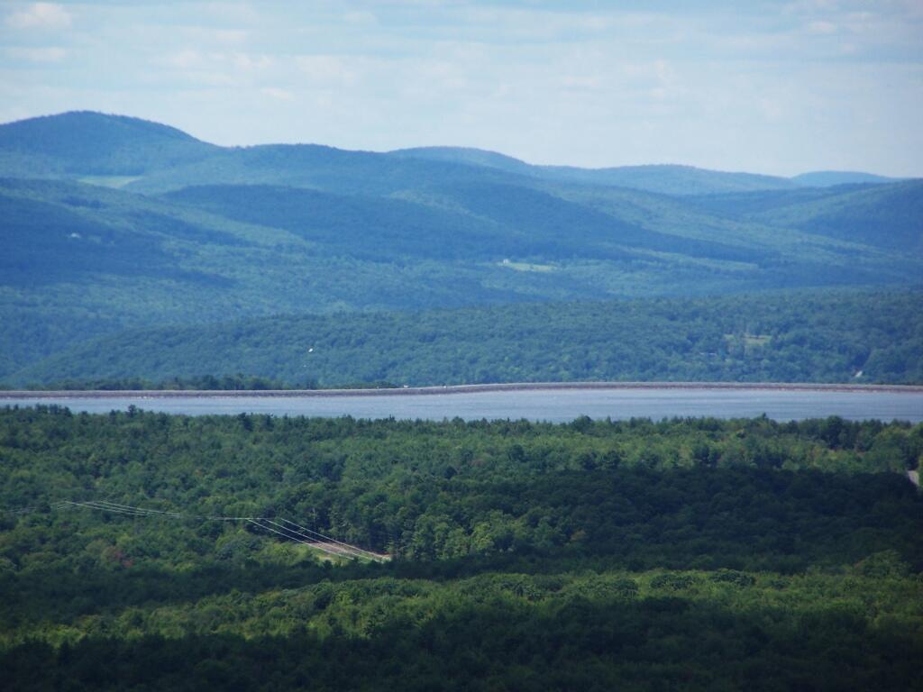
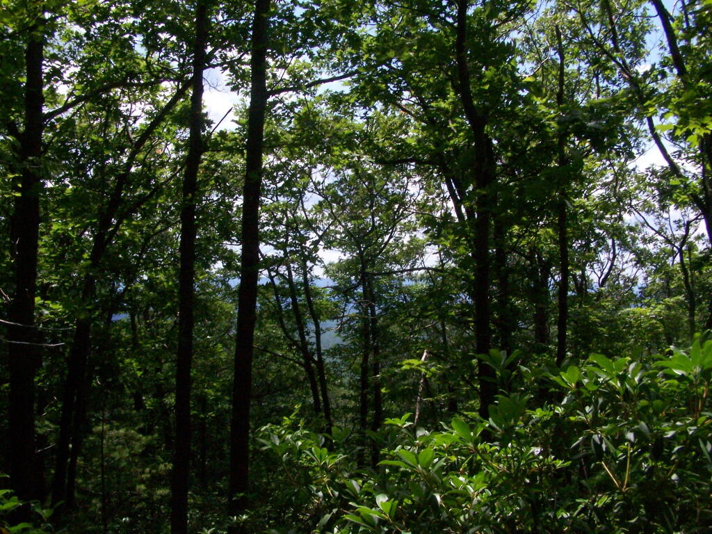
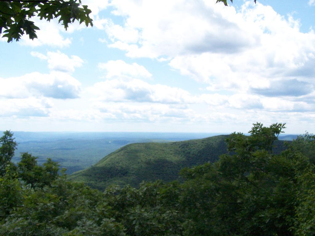
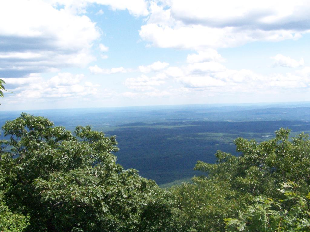
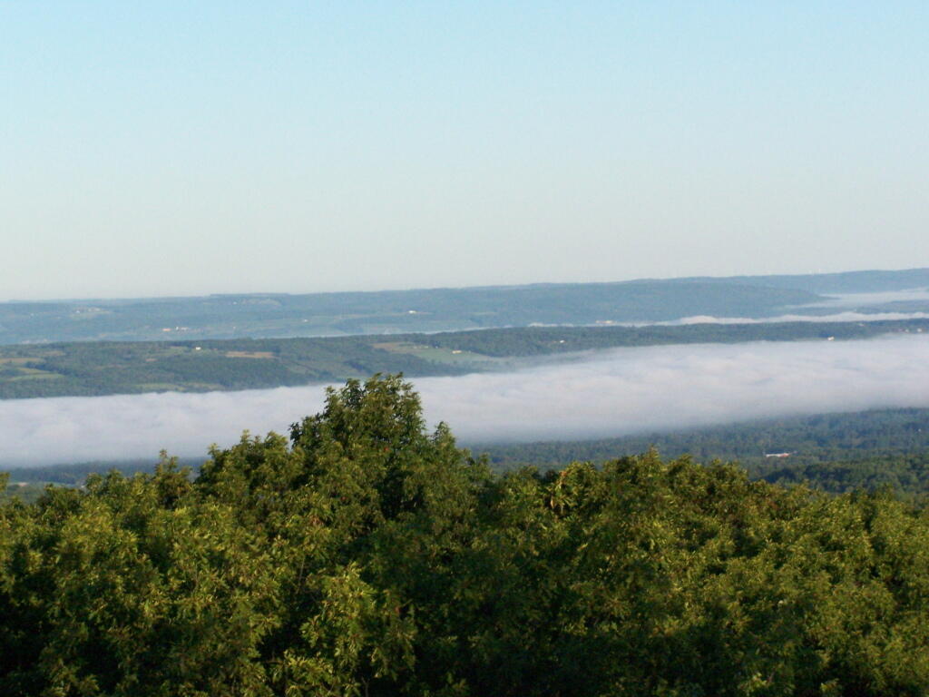
A bed of fog over Kueka Lake from the Firetower from last year.

Bed of Fog

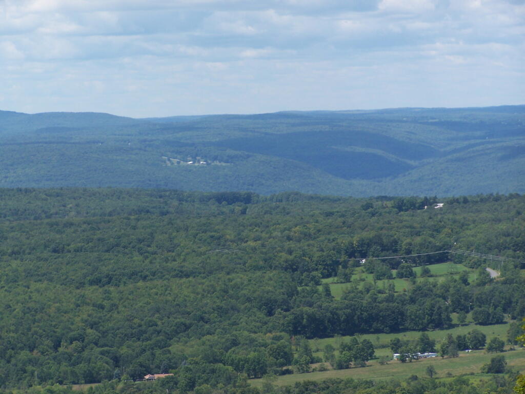
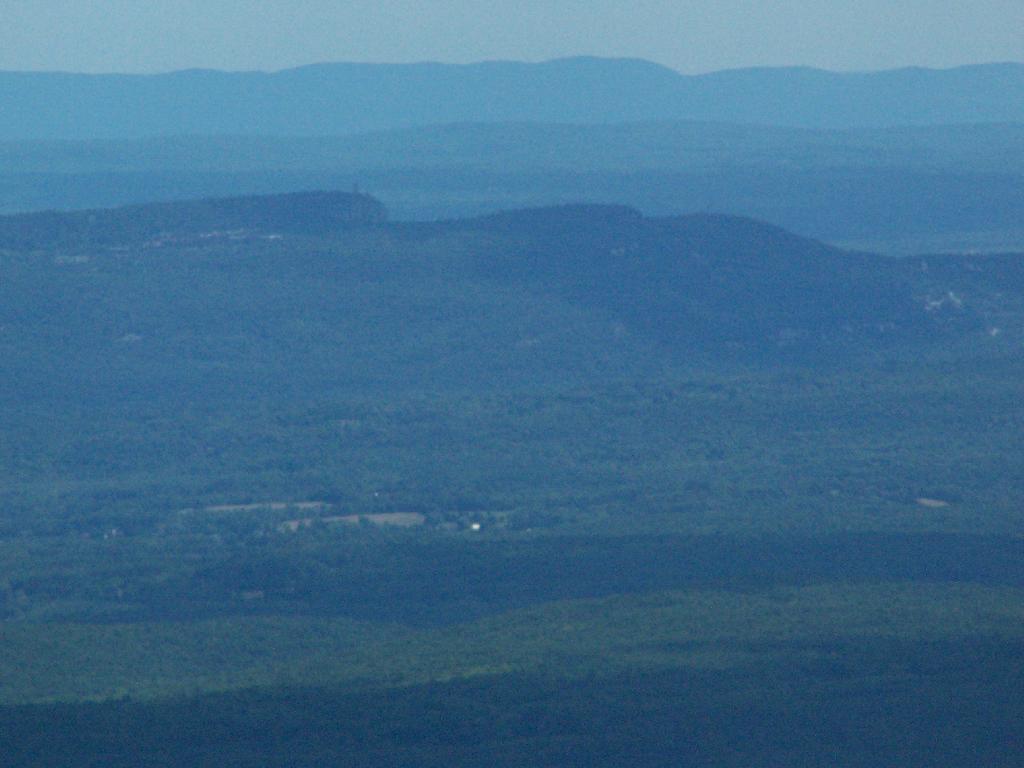
Thunder clouds approaching from the west from the Firetower. It was not of course thundering when I was on the tower. I’m not that stupid.

Thunderheads

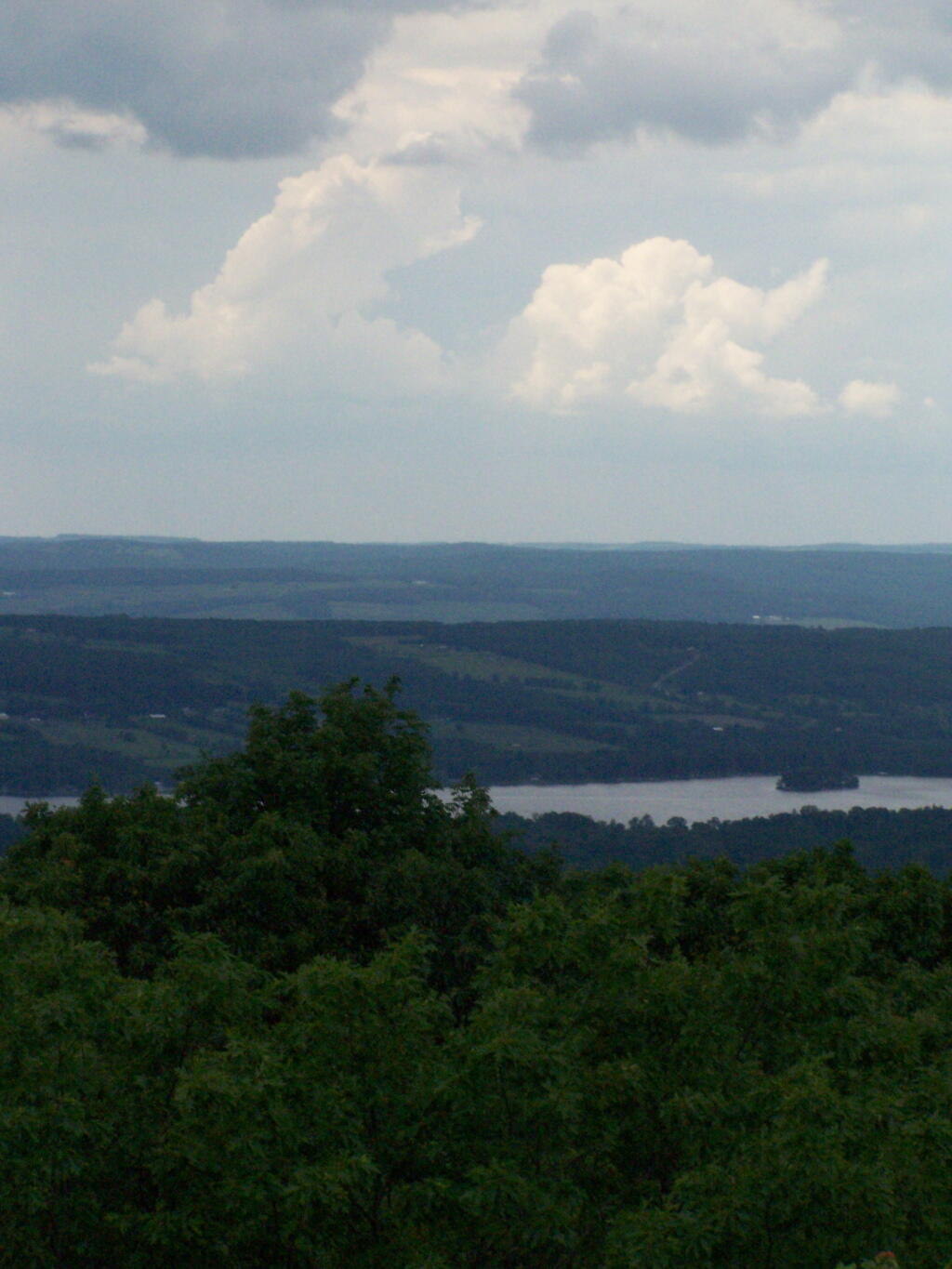
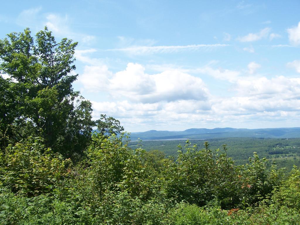
Descending the firetower, looking east towards Seneca Lake.

Descending Firetower

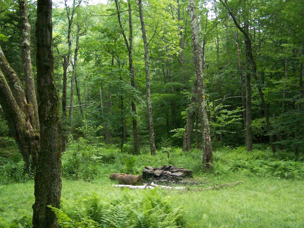
Rather then camping at the main horse camp, where there where several people set up with horses, I decided to camp at the lower area, which is much less popular, but as nice if not nicer.

Horse Tiedowns

They still have lots of things for the horse owner to use.

Horse Stables

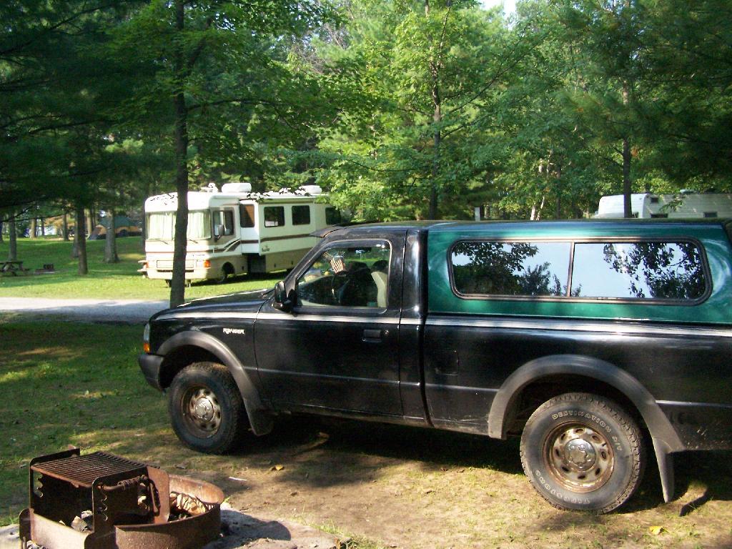
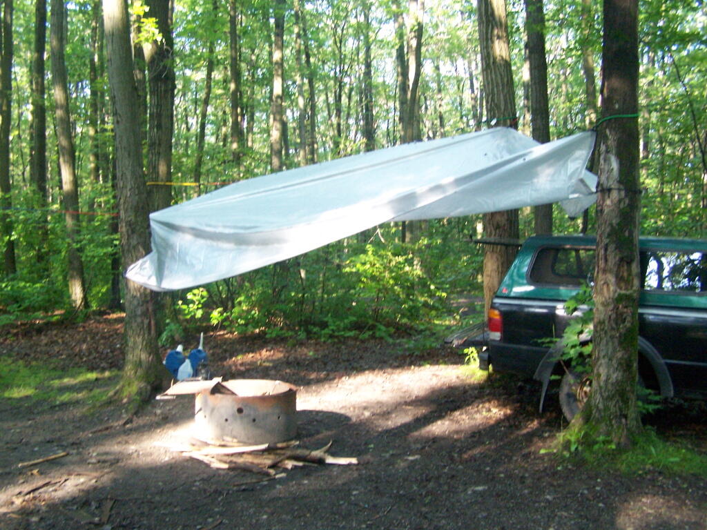
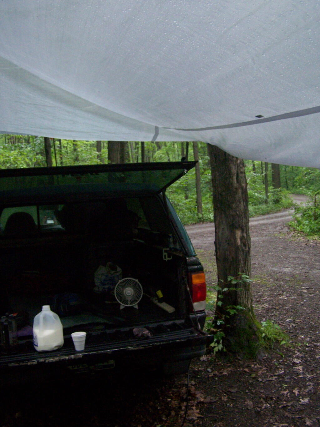
In the evening it started to rain. It didn’t bother me much, as I had the tarp over my truck and the picnic table, and thanks to the cement base under the table, there was no mud or muck to get kicked up.

Reading in the Rain

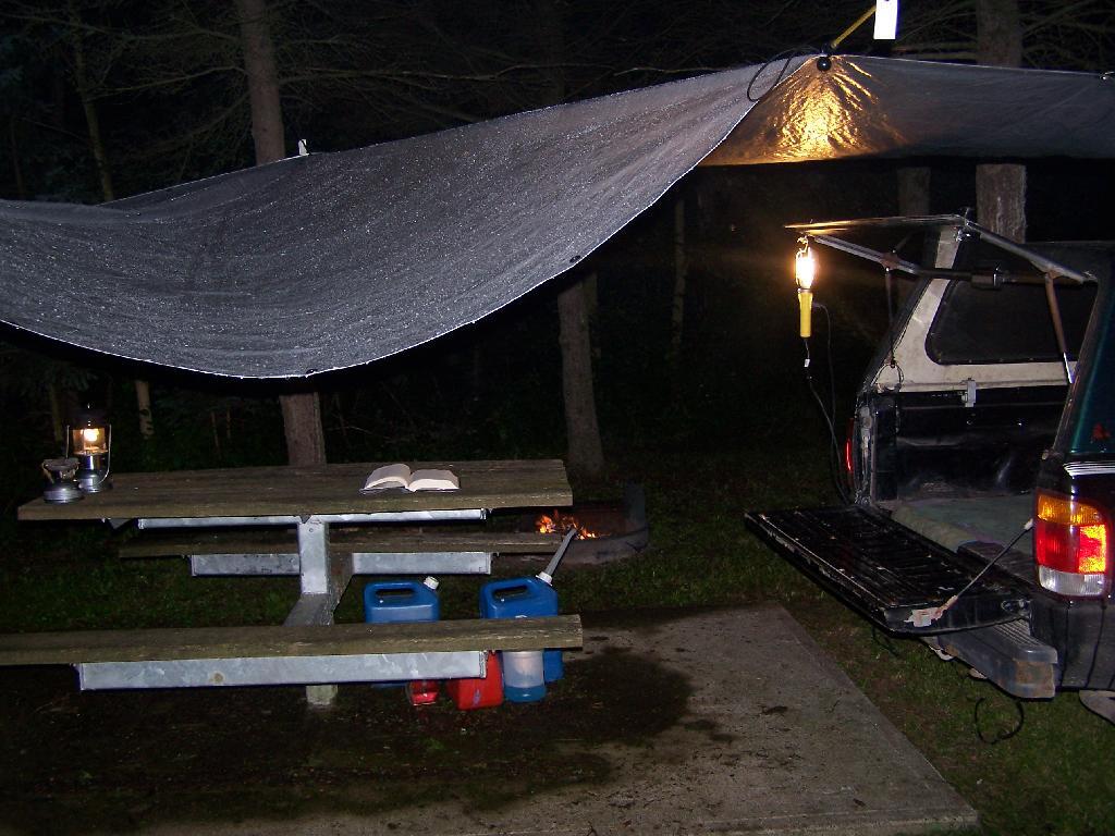
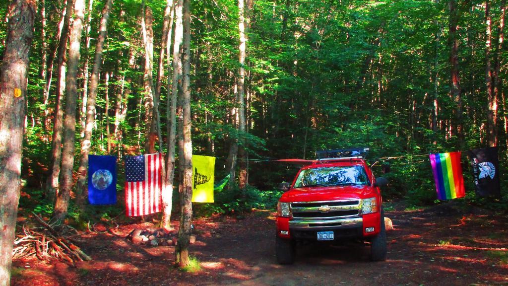
This was my camping arrangements, as seen in the morning. Not bad, especially for a free campsite.

Camping

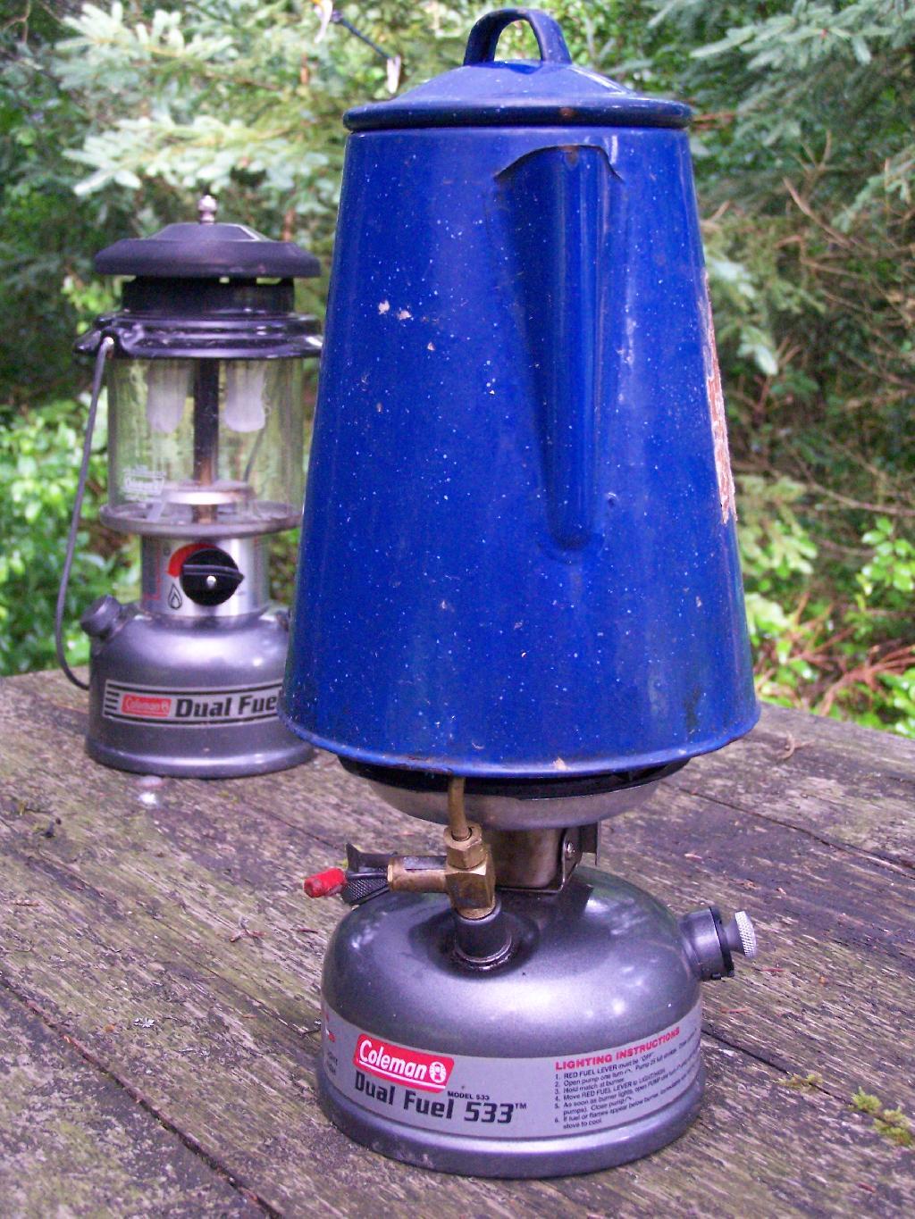
Making some coffee in the morning. I drank an incredible amount of coffee during this week.

Camp Stove

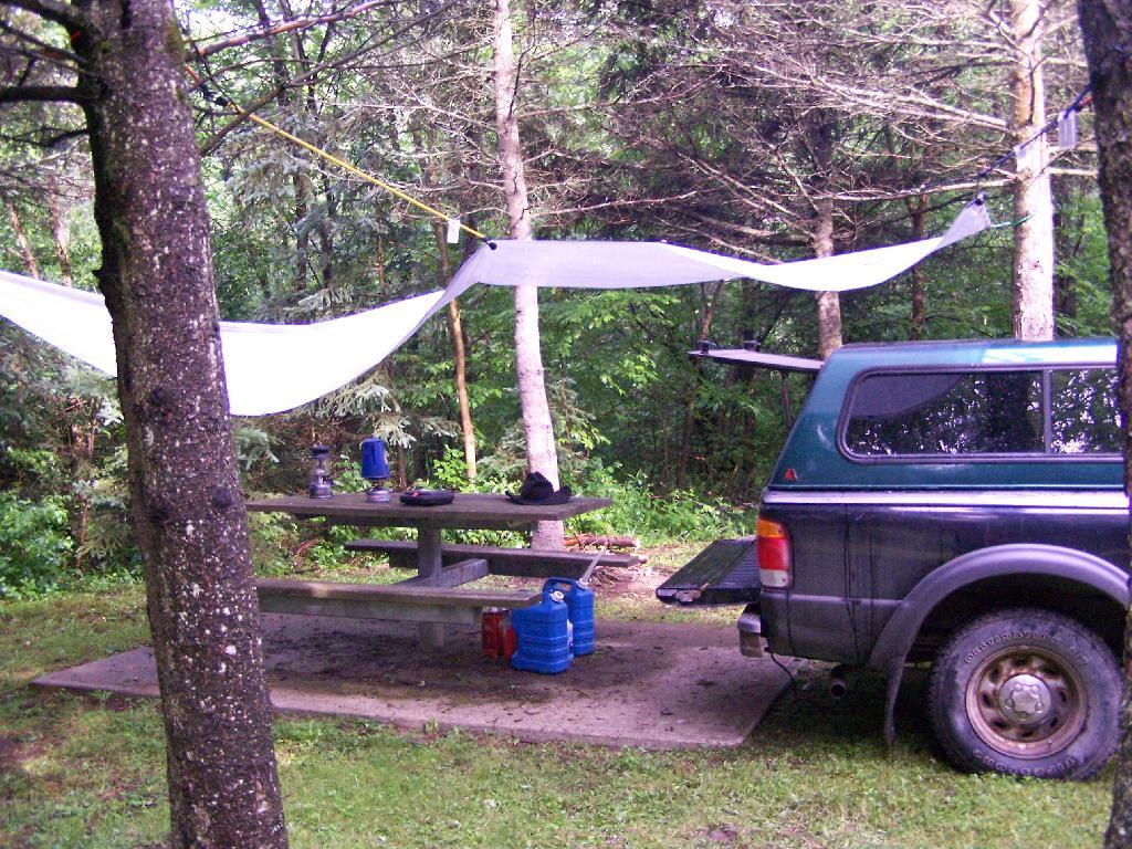
Where I camped, after everything was all packed on up.

Site

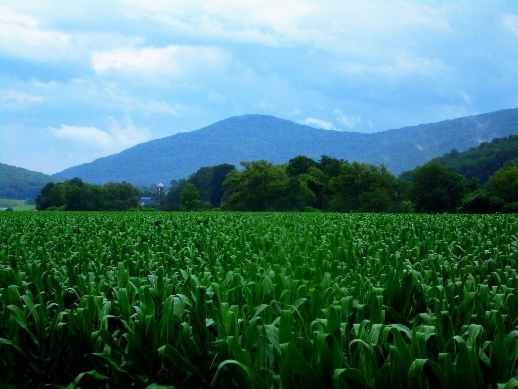
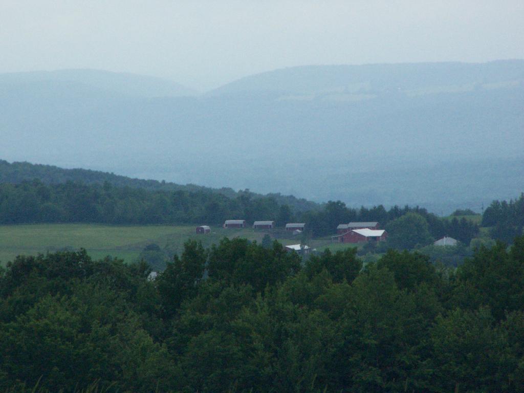
Farms from off Six Nations Hill in the rain, looking south.

Farm

Maps from the DEC of Six Nations Horse Camp:

I drove the following route on Day 3 of the Finger Lakes Trip, in yellow. The loop is where the firetower and main horse camp is. Following the green line due south, takes you to the southern horse camp where I spent the night camping.


View Finger Lakes Trip June 2009 in a larger map

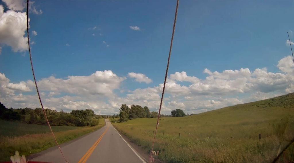
Day 4 I visited Corning and checked out Big Flats, which is now unfortunately little more then suburbanite crap. Corning was kind of neat, except that it started to pour when was down there. I then drove down to Sayre, PA, and through northern Pennsylvania so I could pick up some fireworks for the forth of July. I probably could have come right back into the state, but I certainly didn’t want to be followed by undercover cops, with my fireworks (yes, I’m a little paranoid).

Rural Pennsylvania was quite pretty, except for the heavy rain and the fact that Route 706 was so damn narrow and twisty. When I got back to NY, I really appreciated how much better our state’s roads really are. I drove back via I-88, occasionally hopping back on Route 7 for some additional variety to my trip. I got home around 4 PM.


View Finger Lakes Trip June 2009 in a larger map

The green line follows my return trip. It took about 6 1/2 hours, including stops in Corning and other places.

Finger Lakes National Forest

For the second day of the Finger Lakes Trip I spent a night at the Finger Lakes National Forest, a series of rather large leased public pastures interspersed with forested areas and ponds. National Forests are managed by the US Department of Agriculture, and this area in particular came under USDA jurisdiction in the 1930s when the Federal government bought out unproductive farms. This land was destroyed by the overuse of deep plowing for crops without proper management of soil erosion and fertility. It has since been well restored, thanks to controlled grazing and the creation of various wetlands.

I left around 10 AM from Balsam Pond, and headed out Route 23 to Cortland then down to Ithaca via Route 13. It was a beautiful day for sure, and there is some truly amazing country out around Pharsalia. I stopped briefly at the Cortland Walmart to buy a tarp and some windshield wipers — both badly needed as the rain would come later in the week. I also stopped down at Stewart Park in Ithaca briefly and snapped a few photos before heading west to the area of the Finger Lakes National Forest.

Here is the route I followed. The red line follows the route of my pickup on Sunday. The orange route is the auto tour I took on Monday. The blue point is Balsam Pond, the many red points are where I stopped to explore the National Forest.


View Finger Lakes Trip June 2009 in a larger map

Entering Forest

Hiking along the orange trail in the northern part of the National Forest. Other trails allow horses, just not this one through the forest.

Palmer Pond and Turnpike State Forests

The northern portion of the Orange Trail passes this beautiful pond. There are places for tent camping along it — the USDA Forest Service is less restrict then DEC about camping, you need only be 50 feet away from water to set up a tent. They do not allow you to set tents up in cattle pasture during grazing season, for obvious reasons.

Pond

A beautiful orange butterfly was seen nearby that pond. There was an amazing amount of wild and domestic animals around when I explored things. There also was many deer, birds, and other things, to say nothing of both beeves and dairy cattle.

Butterfly

Many times the trails crossed into cattle pastures. To keep the cows from getting out, they had big reminder signs. It’s amazing that people could be so stupid to let the cows roam lose by accident. They don’t use cattle guards in this National Forest like they do out west, instead cows are fenced into pasture and off roads.

Close the Gate

Howdy says the cow as you pass it on the trail. I think he liked my black stetson. They don’t see enough of them back east here.

Black Angus

Mind where you step on the trails.

Clouds Hang Low Over County Route 21

There are some pretty big pastures in this National Forest.

Junction Road

Later in the day, it started to rain.

Clouds

It really opened up and was raining so hard it was tricky to drive the dirt truck trails I was unfaimiliar with. That kind of sucked. Knowing that I wouldn’t be able to easily set up a tent in this heavy rain, that lasted most of the evening, and unable to find the road-side sites for camping (which I found in the morning).

I decided to stay at the Blueberry Patch primative campground in the National Forest, which costs $10 a night, via the honor system. They also have a group area, where groups can stay for $10 a night + 50 cents a person over 20 people. Quite neat. I paid, in part because the basic facilities (table/firepit/outhouses/nice tent platforms), where very well maintained.

Once I got settled in, I got the tarp hung up over the back of my truck.

Tarp

And made some coffee mixed with Jack Daniels, and poured it into a styrofoam cup. It was real good and strong. It was good, dulled the pain and missery of the rain, and kept me up half the night.

Making Coffee

In the morning I drove around the National Forest to just check out some more of the lands and the beautiful pastures. This was my route around the area. Red was the drive on Sunday, Monday is in Orange. Free Campsites are marked with a tent, the $10 a night Blueberry Patch campground has a picnic icon, and the part of the orange trail I hiked along is marked with a blue line.


View Finger Lakes Trip June 2009 in a larger map

Here is a map of the entire parcel from the Federal Government.