Search Results for: photo campsite 2 2

Snowshoeing at Rensselaerville State Forest

About two weeks ago on Presidents Day I went out snowshoeing at Rensselaerville State Forest. Previously one of my favorite places to camp and explore, I haven’t spent a great deal of time up there lately.

Along Scutt Road

I parked off of CC Road. Going along Scutt Road you come to the point where it becomes plowed, and you can see Gensing Mountain (just north west of the Catskills) in the distance.

 Friday\'s Snow Squall

It used to be there was no designated campsites up there until 2007, when the state started posting four sites along main roads, along with “Camping By Permit Signs”. I used to camp off one of the truck trails in one or two places, and spent a great deal of the summer out there.

Campsite 4

Snowshoeing along a truck trail. The truck trails up here are a lot of fun to drive in the summer, although they are bit overgrown and tight to drive, even with a compact pickup.

Along Truck Trail

Looking North Towards Dutton Ridge, you can see a clearing where Livingstonville is located.

Cotton Hill State Forest

Here is the section where the field is reverting back to woods. I used camp out back here a lot in the past.

Reverting Meadow

The C.C. Road sign recognizing the history of this preserve as an old CC Camp. The camp facilities where later developed into a youth treatment center, and now a training center for state park rangers, that currently is unused.

The CC Road

The map of the snowshoe hike.

Stony Ledge at Mount Greylock

For about two months now I’ve been really itching to go out hiking on Mount Greylock. I have wanted to say I’ve “conquered” yet another peak. Last Sunday I decided it was time to go. I realised though with the short days and the snow predicted for the afternoon, I would not be able to make it all the way up Greylock, but would have to settle for Stony Ledge from the Hadley Farm.

Hadley Farm Barn

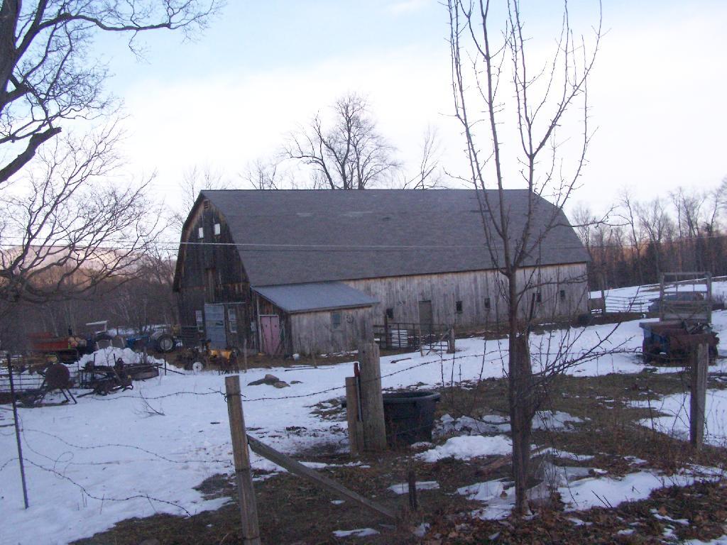
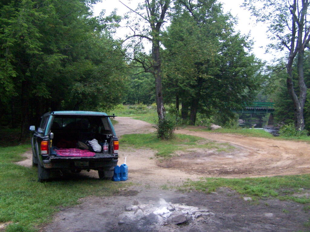
Hadley Farm is a working beef cattle farm, and while the cows where in the barn, you can smell the livestock in the barn. The farm is privately owned, Massachusetts Department of Conservation Resources (DCR) owns a parcel of a land directly to the south of the barn, an old field that is snowploughed to allow parking.

Hadley Farm Barn

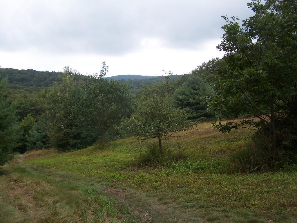
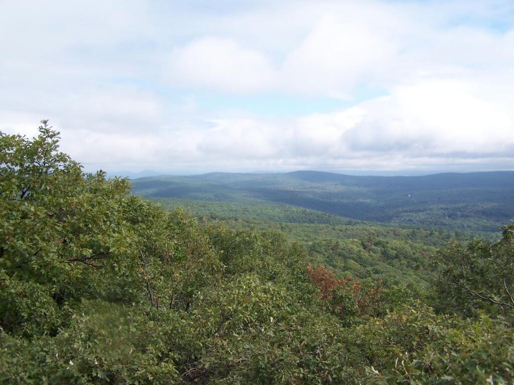
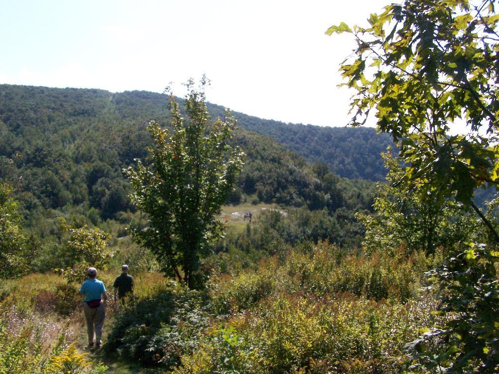
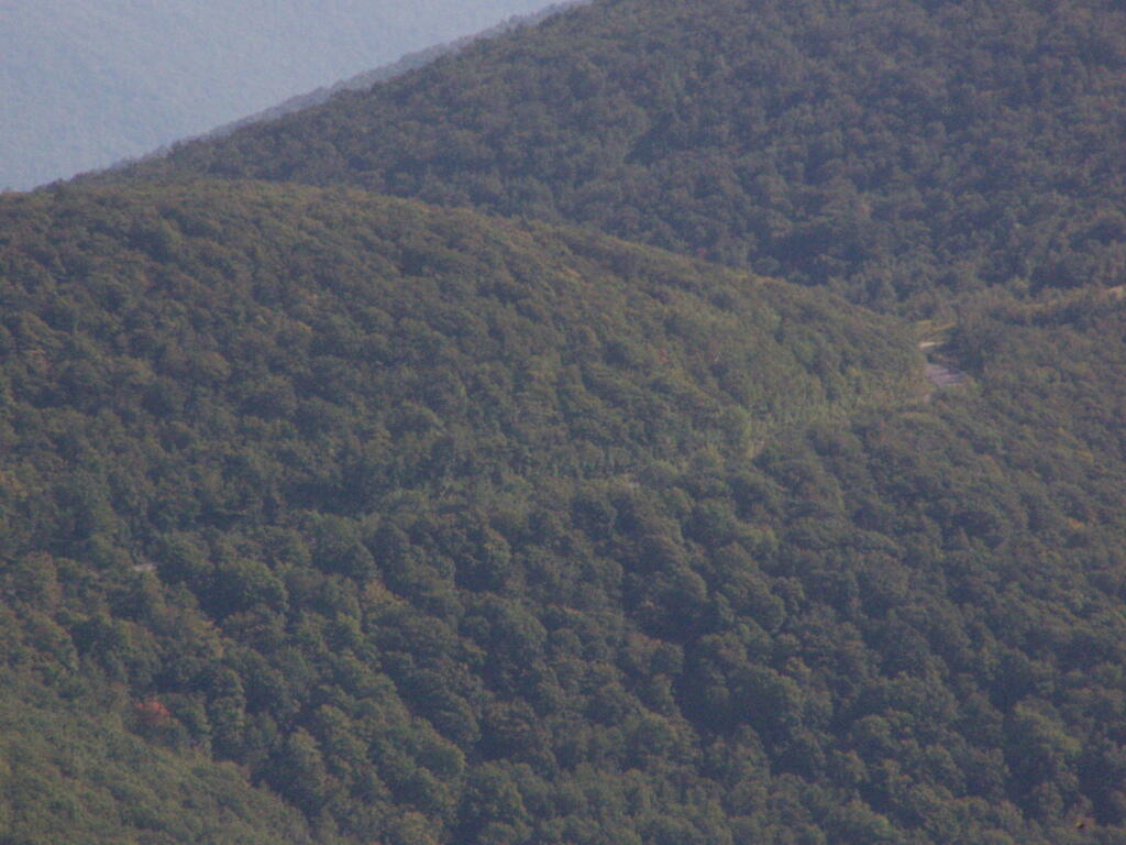
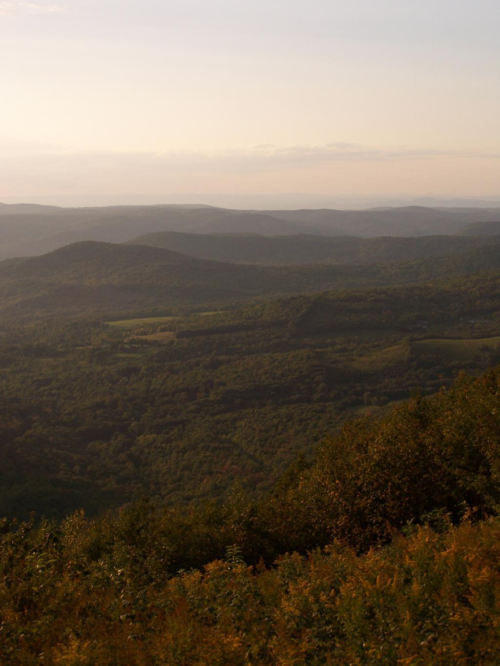
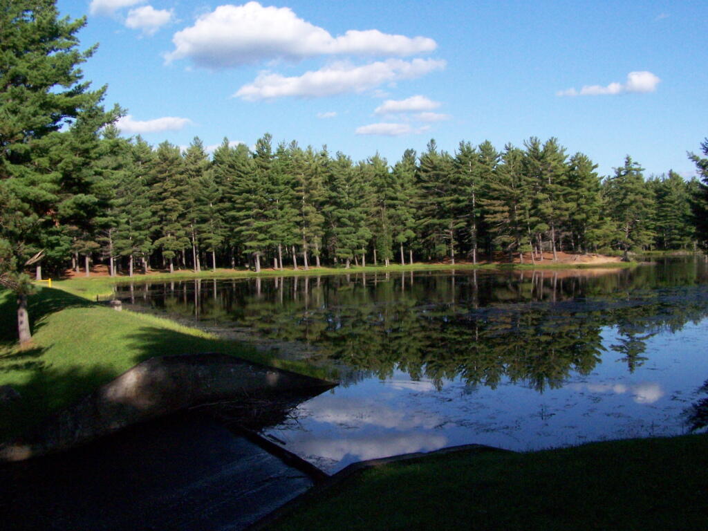
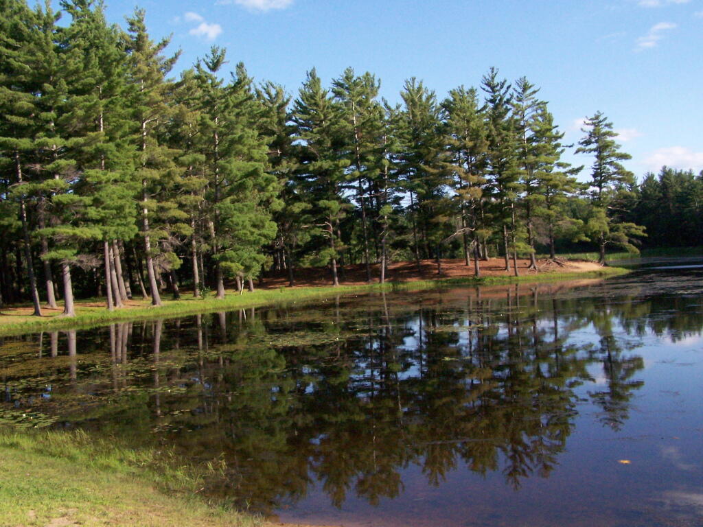
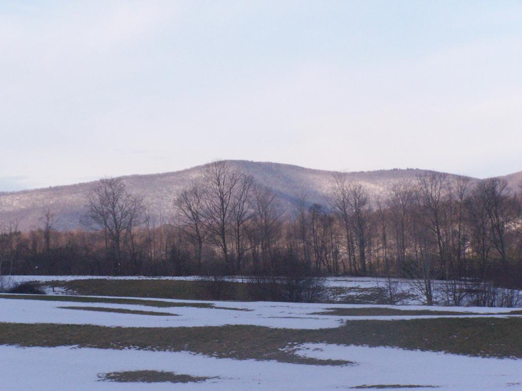
One of the first views directly to the west of the trail-head is the beautiful Deer Ridge, a set of lower mountains directly to the west of Mount Greylock.

Deer Ridge

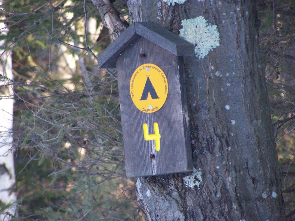
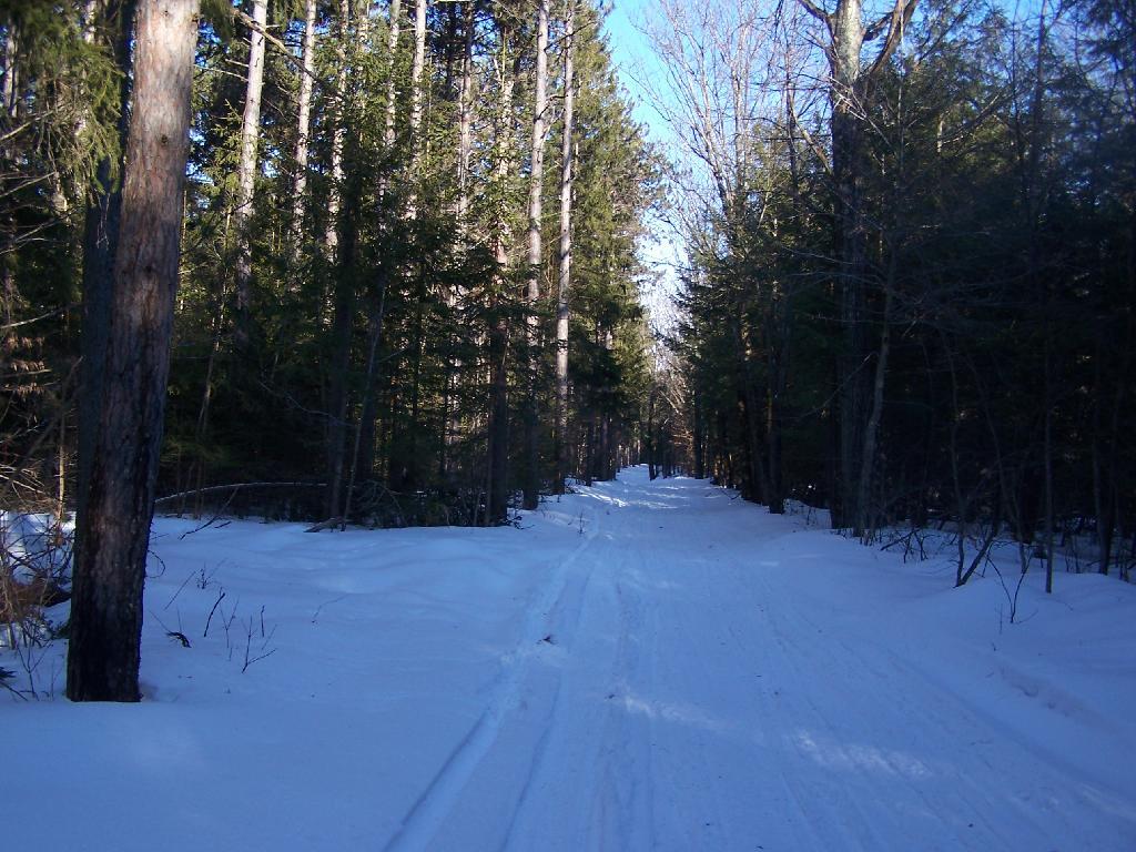
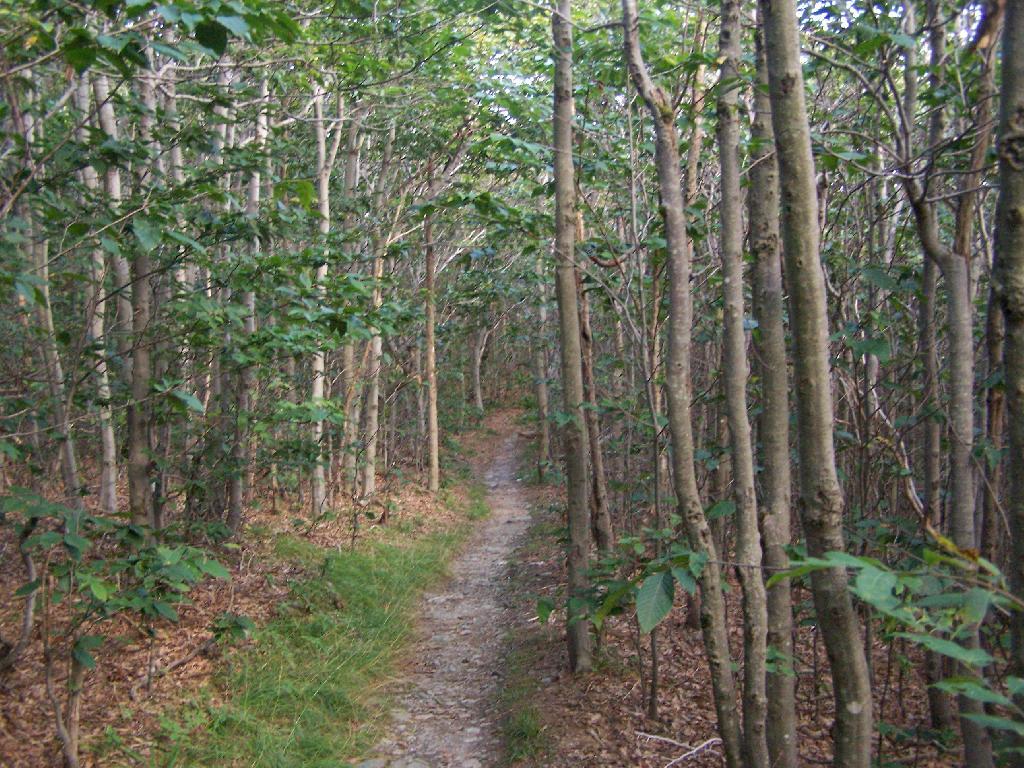
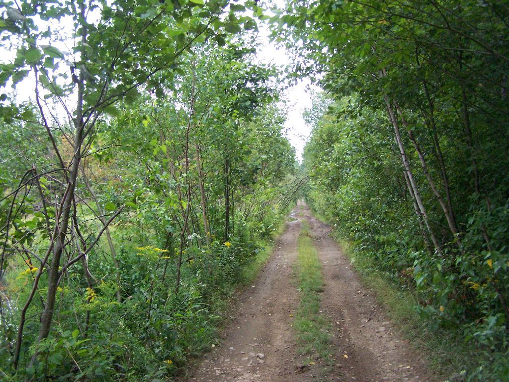
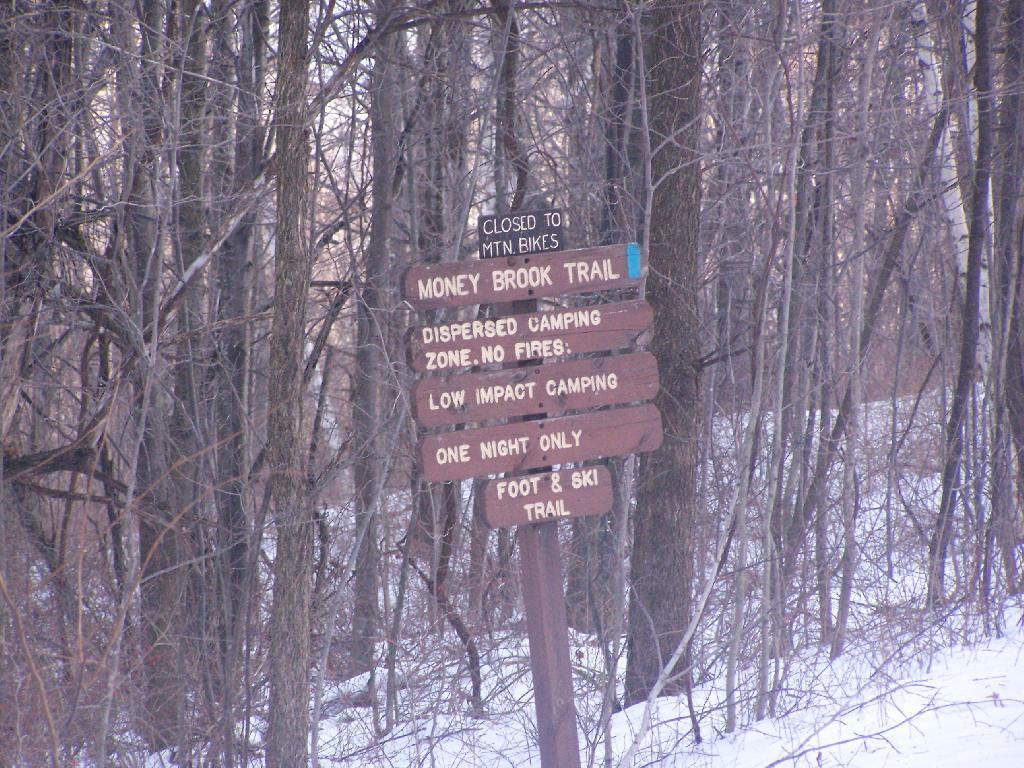
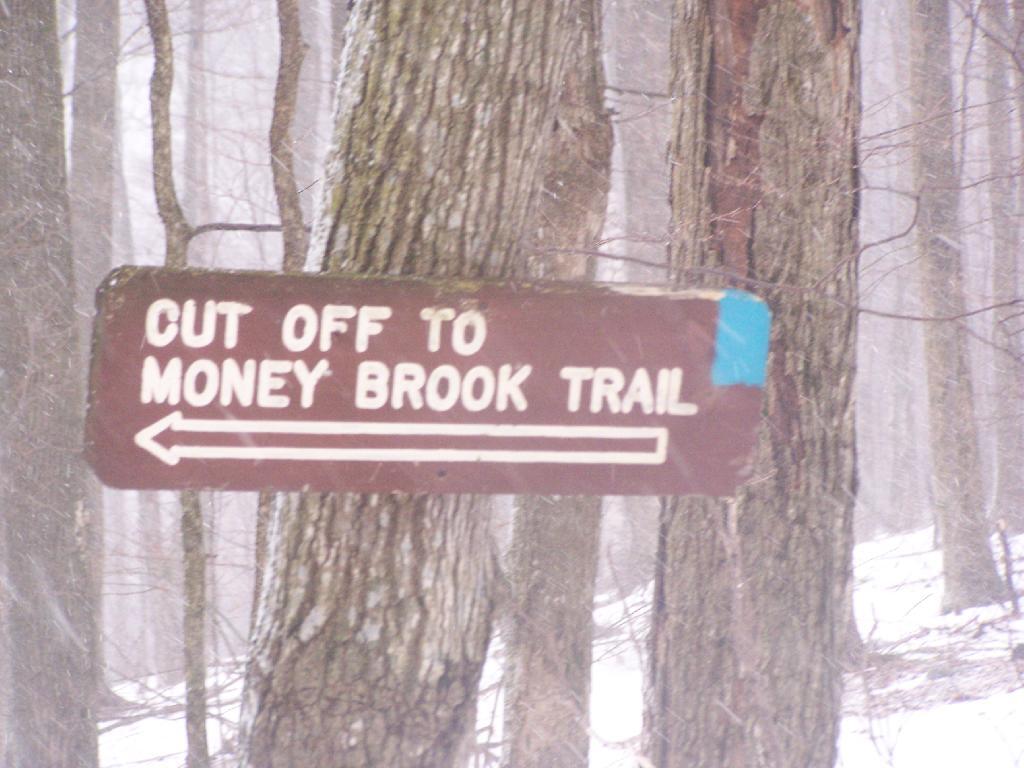
For a while the Hopper Trail is co-signed with the Money Brook Trail. Along the Money Brook they allow dispersed camping, which is not allowed in other areas. This portion of the Hopper Trail is relatively flat, with some climbing, but nothing too major.

Dispersed Camping Along Money Brook

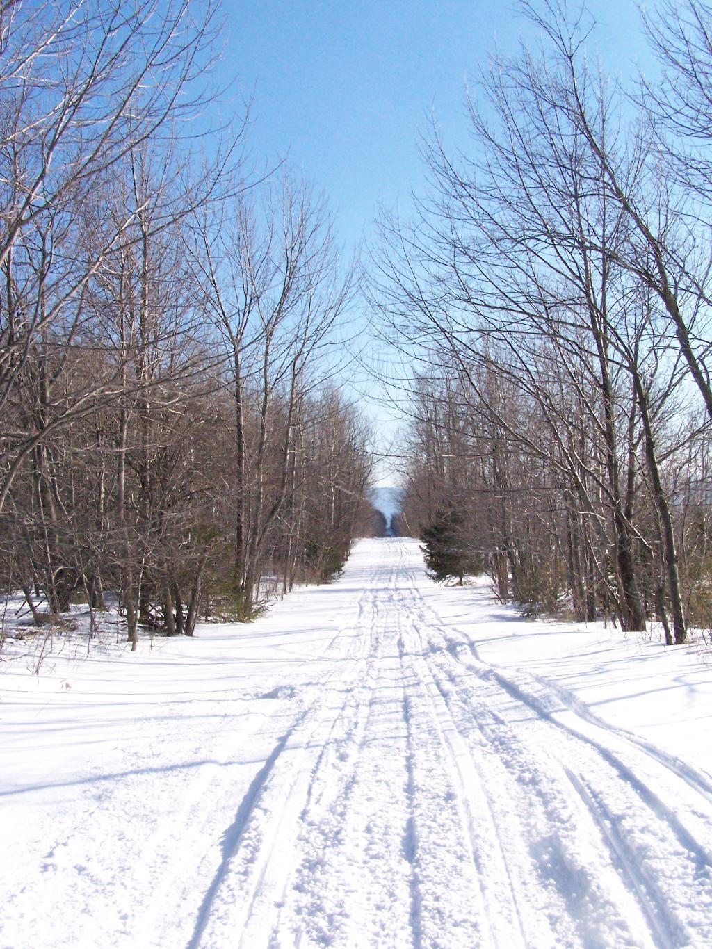
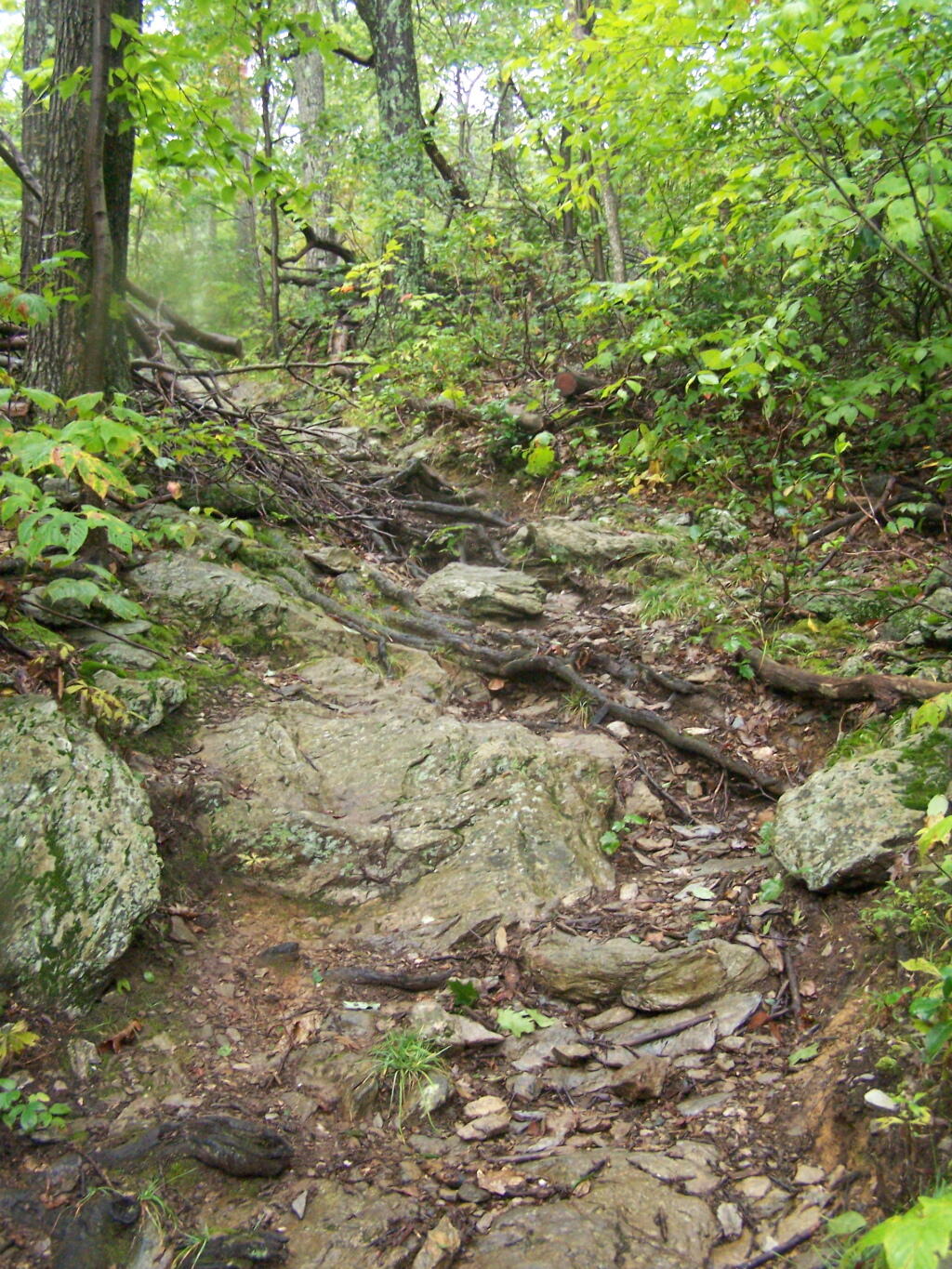
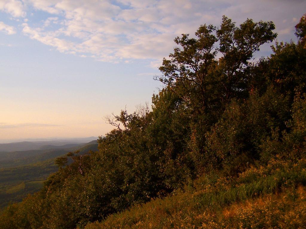
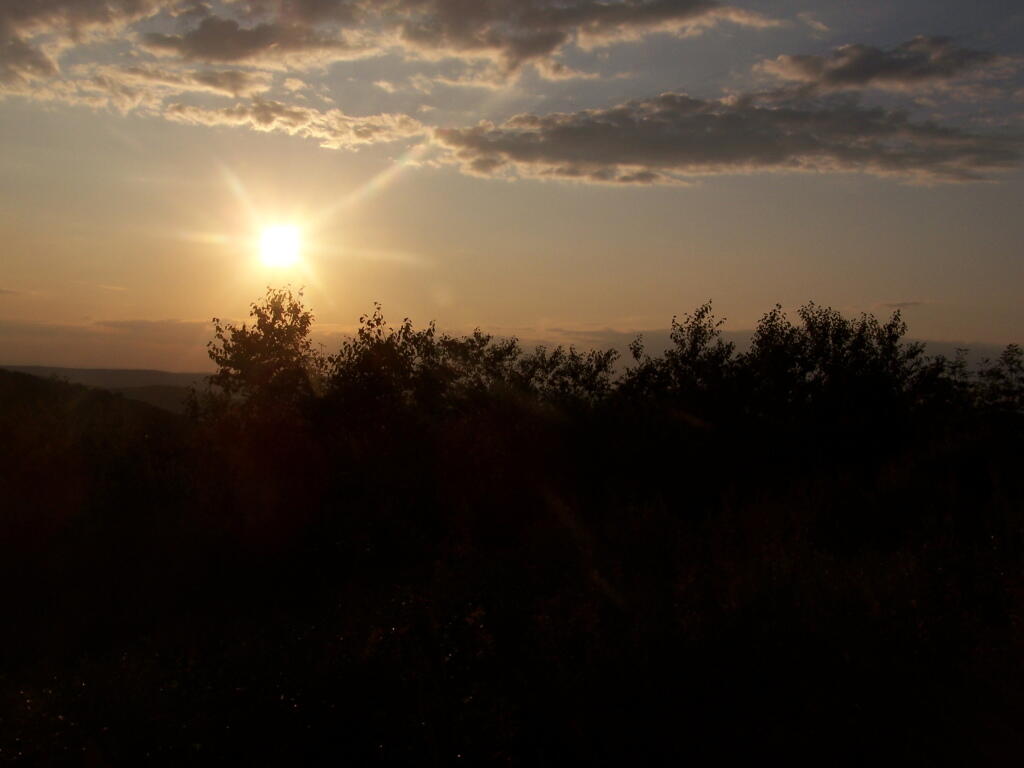
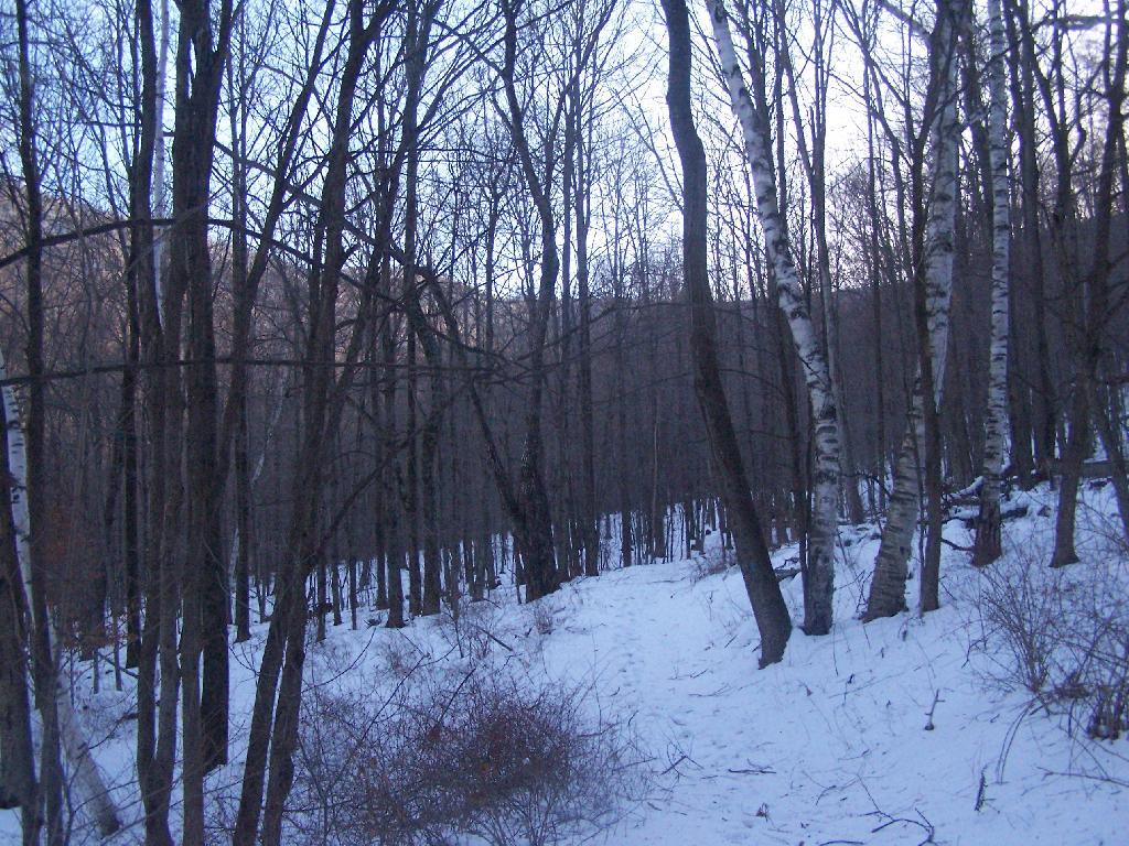
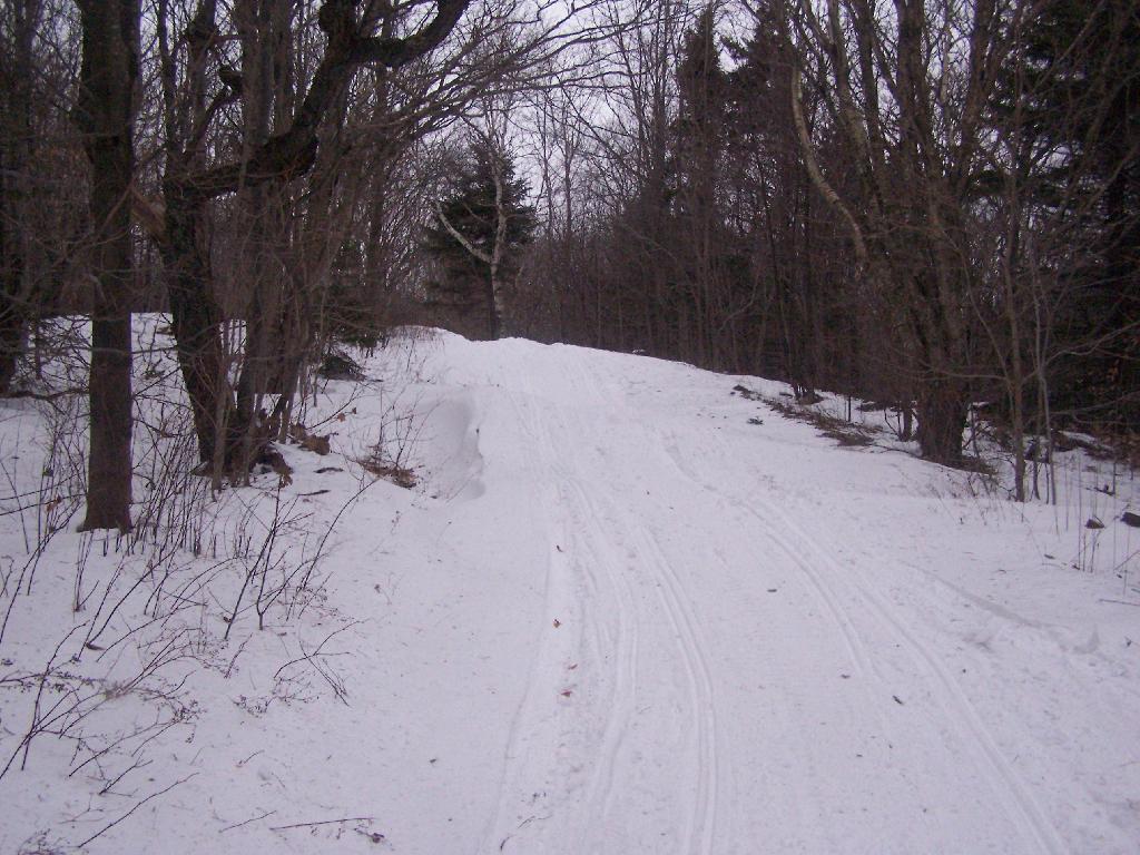
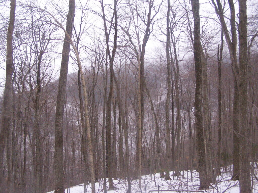
The trail I took up with the Hopper Trail, an old woods road that connects up with the camp ground on Stony Ledge. As I had gotten a fairly early start hiking up, the sun had yet to rise over the high mountains, so things where still in a shadow. The deep valley I am in is called the Hopper.

Heading Up Hopper Trail

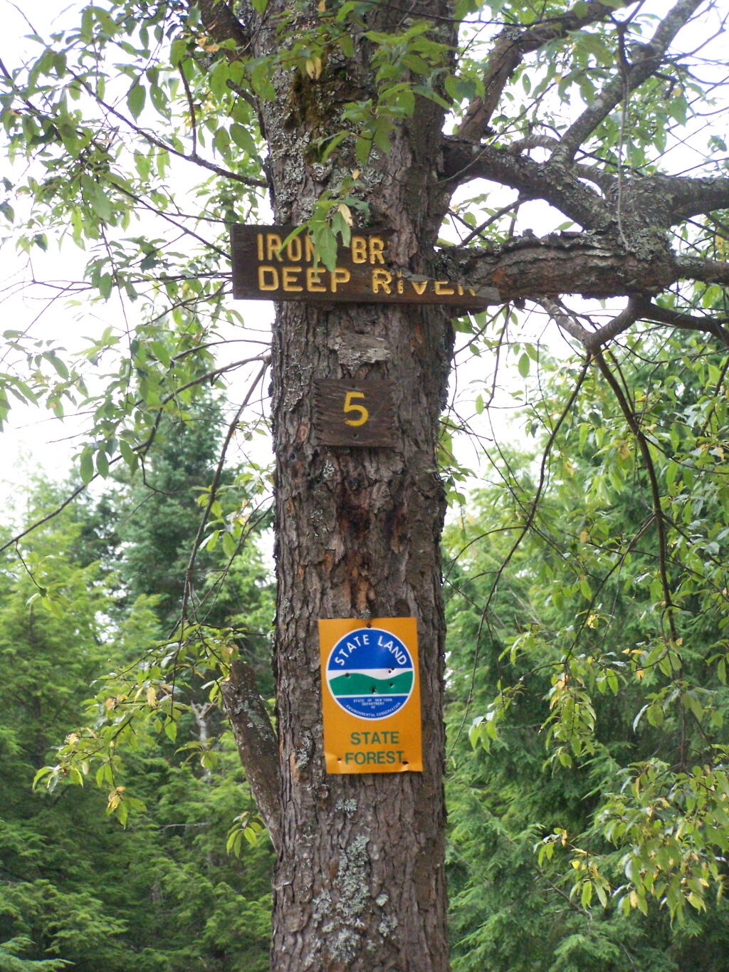
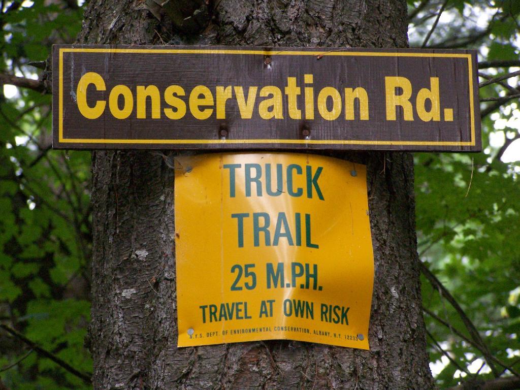
When you reach the Sperry Road Campground (free primitive backpack/horseback/snowmobile campsites), here is the sign for The Hopper / Hoper Trail. In Massachussets they sometimes get a bit carried away with all the words they use on their signs.

Sperry Road, Now Snowmobile Trail

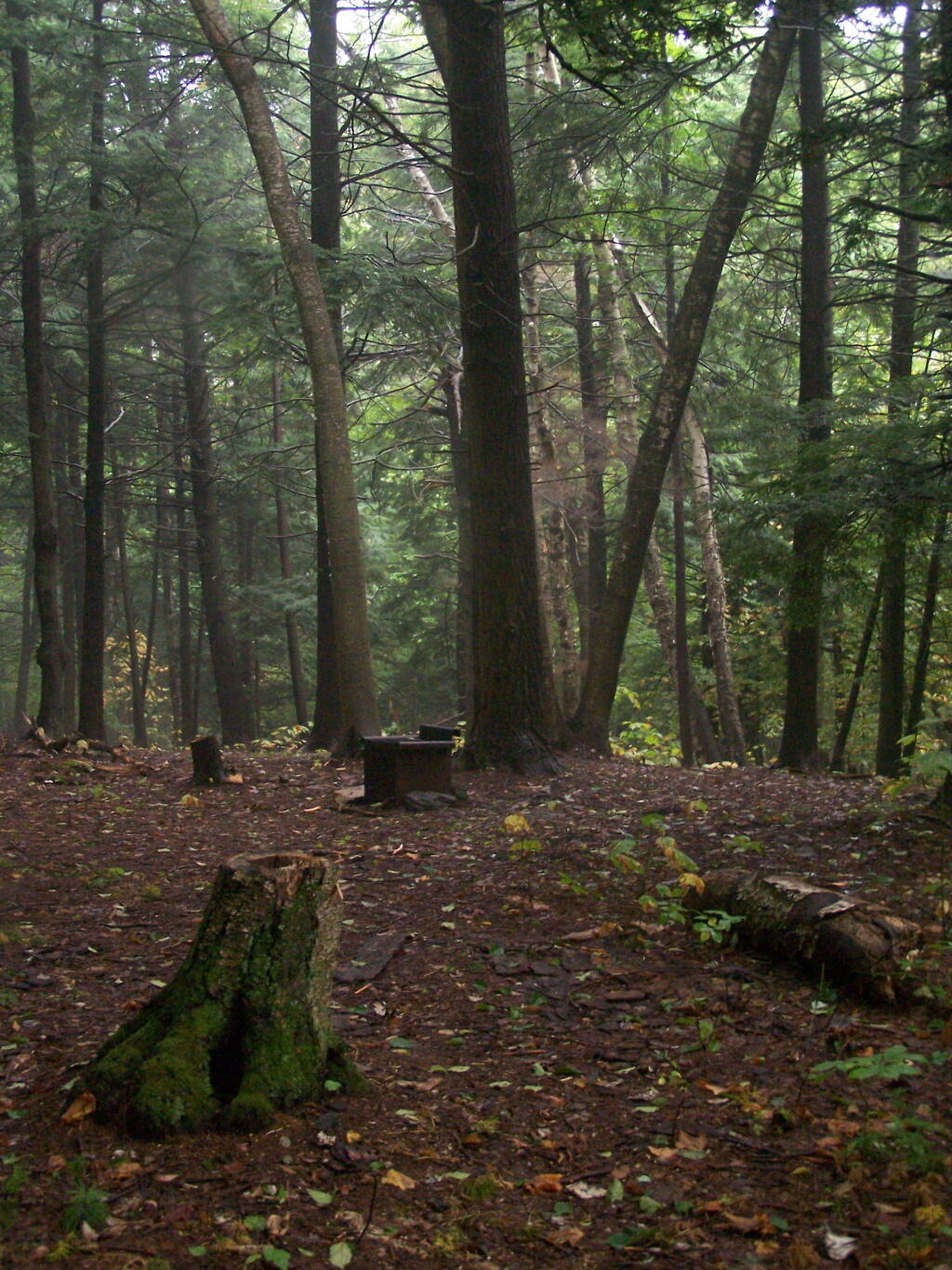
Here is Sperry Road / Campground. Right now it’s being used as a snowmobile trail. In the background is the side of Mount Greylock, some 1,000 feet above Sperry Road.

Campsite R6 on Sperry Road

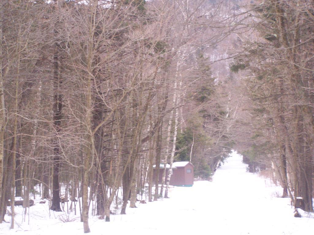
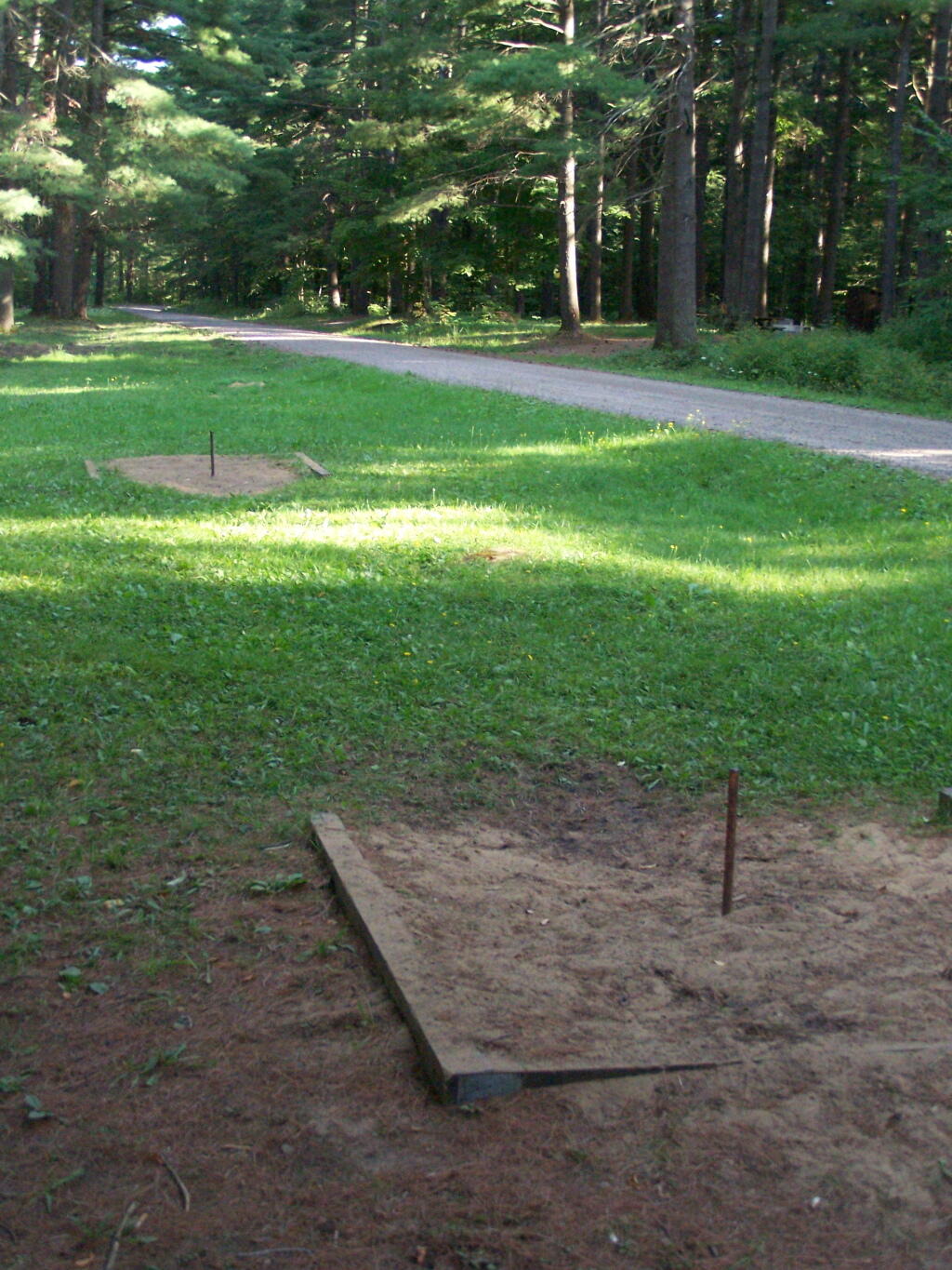
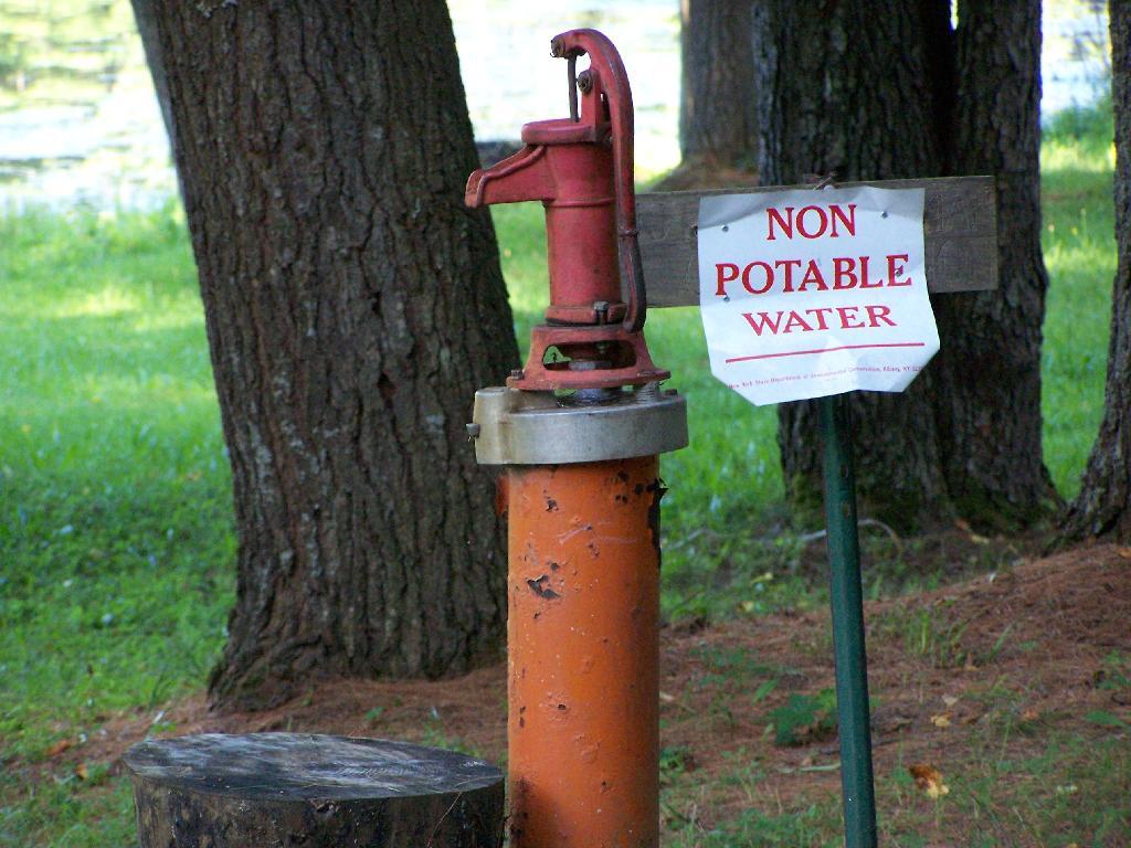
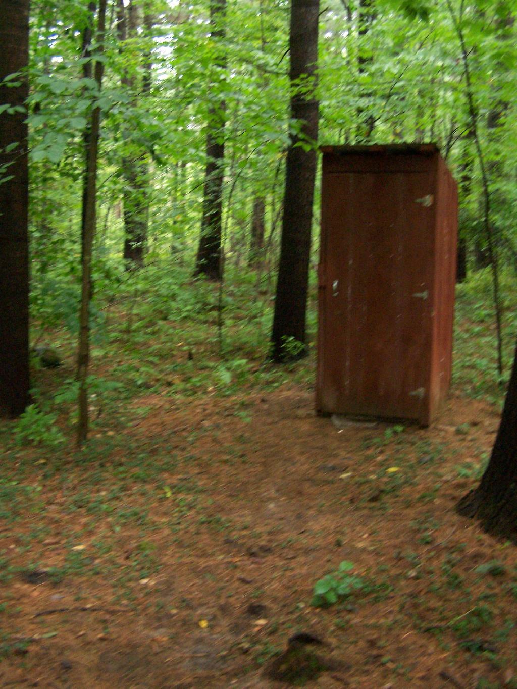
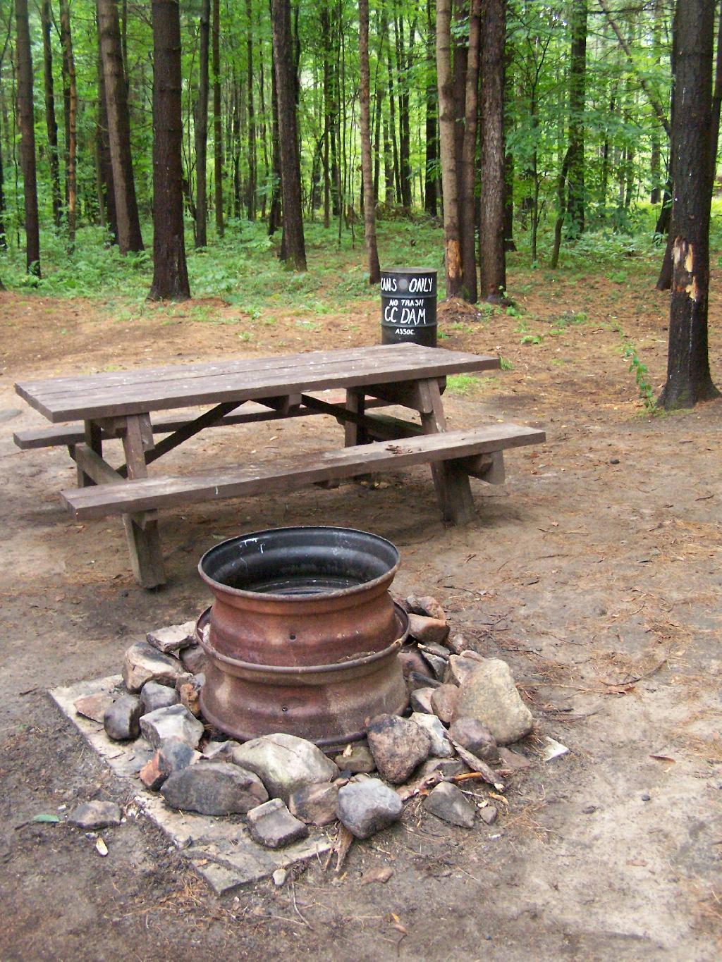
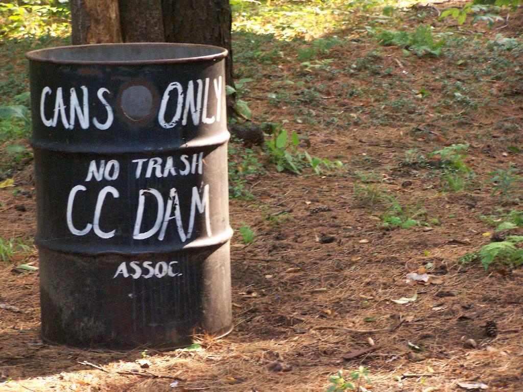
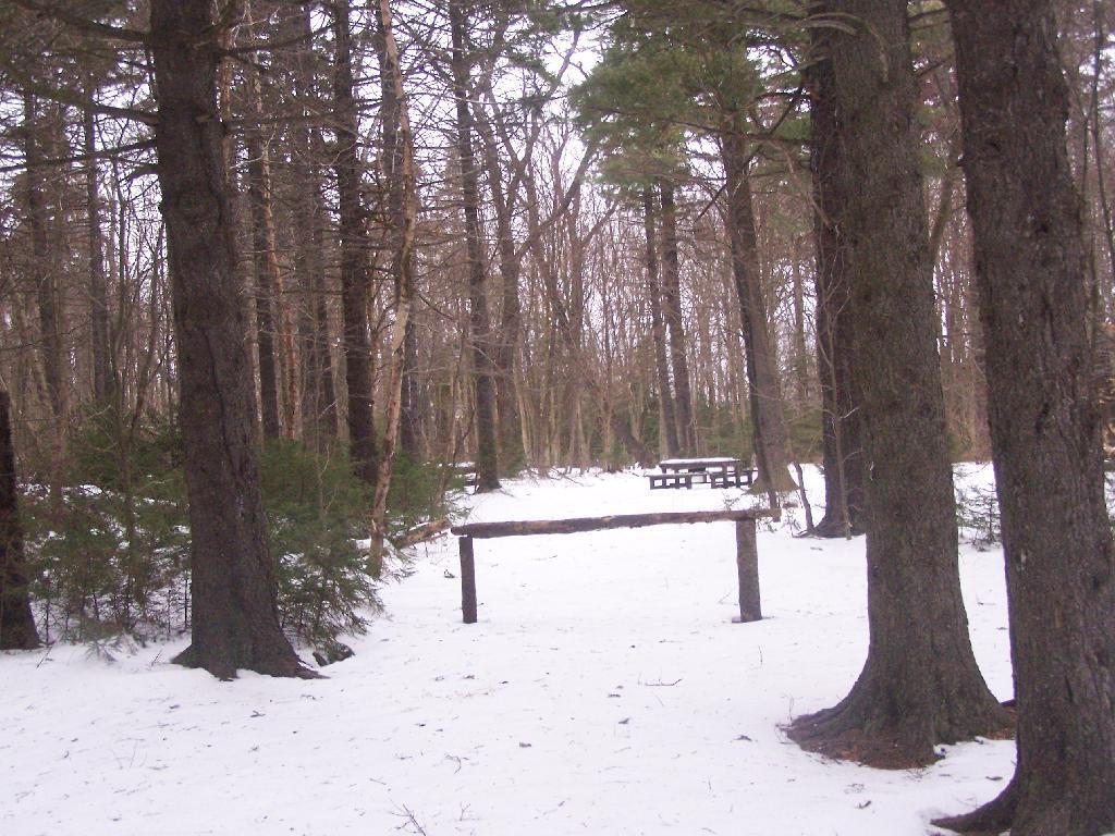
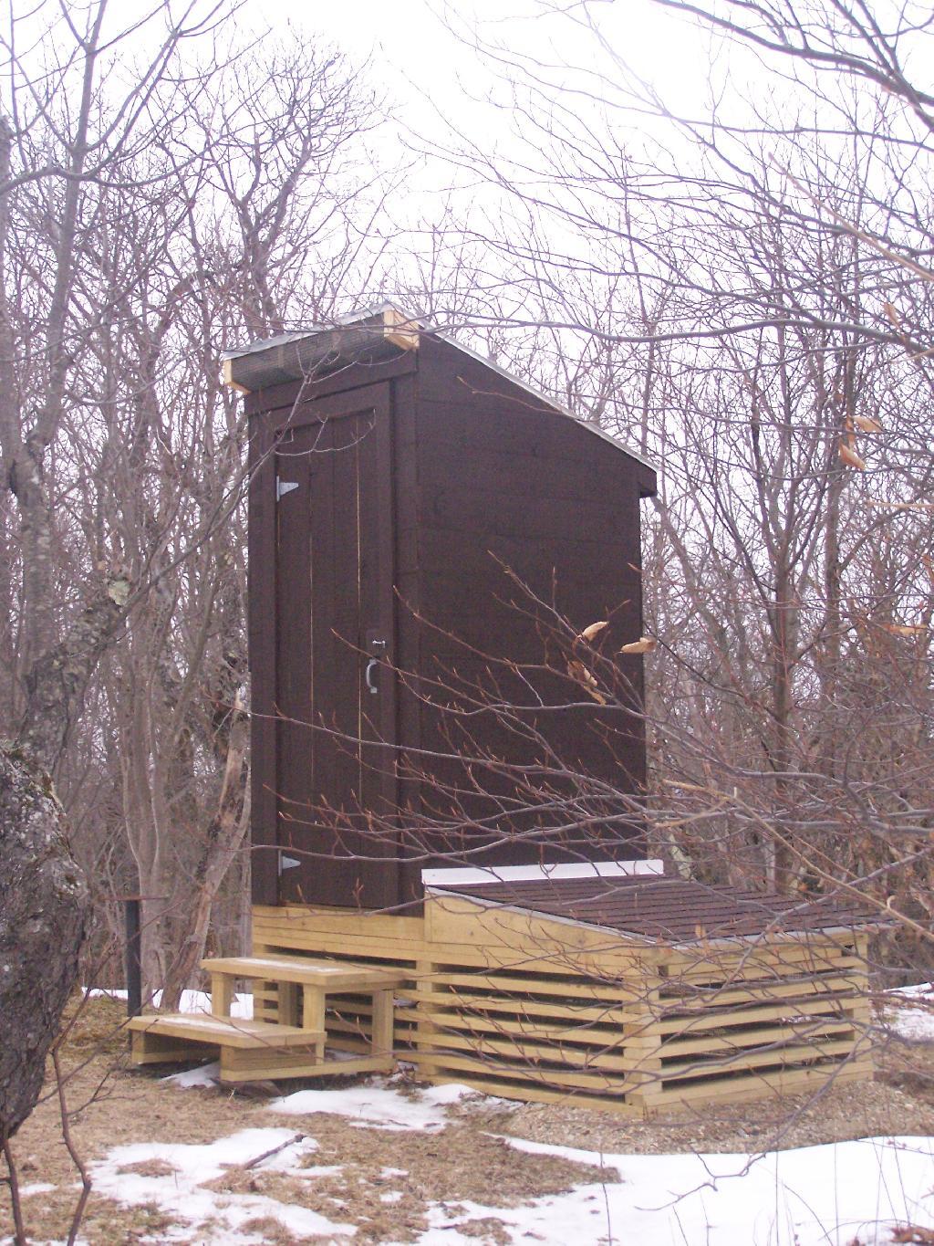
Here is Campsite R6 at Sperry Road. All of the campsites have picnic tables, the tiny little fire pits that are standard issue by MassDCR, and a hitching post for horses.

Sperry Road at Campground

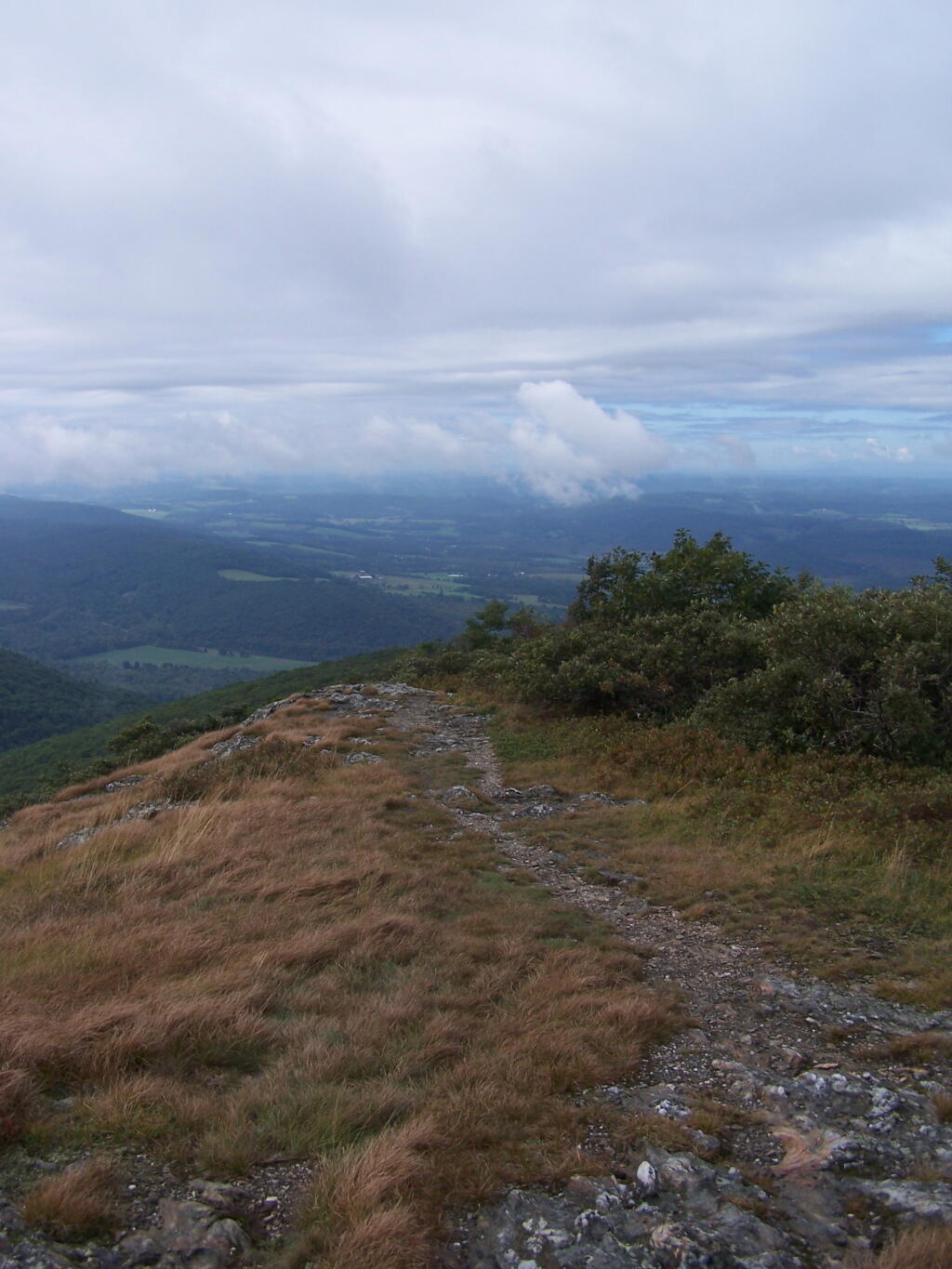
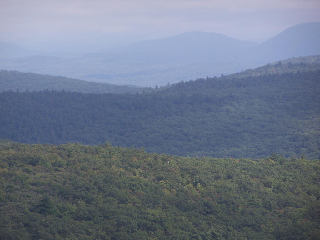
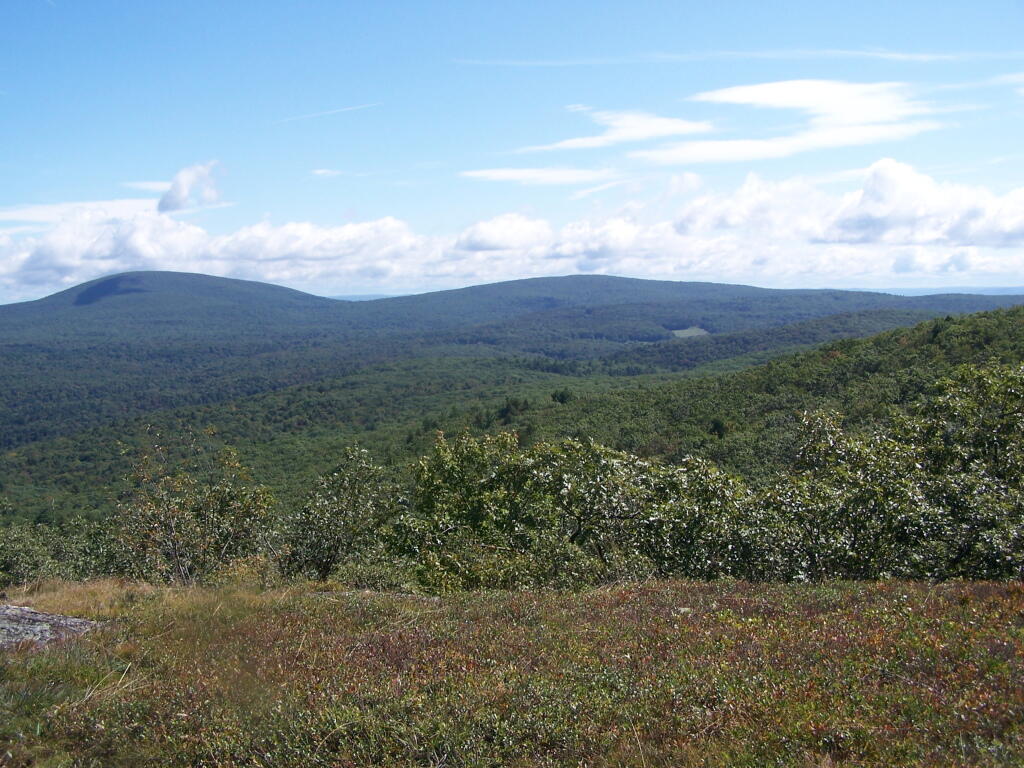
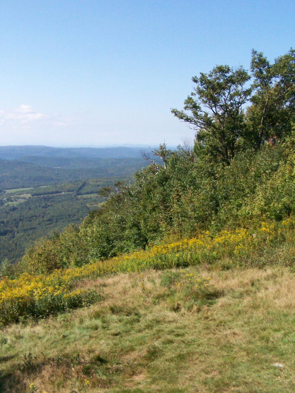
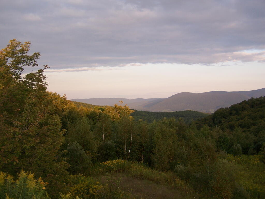
Reaching Stony Ledge. I’m tired. I sit down at the picnic table, and take off my snowshoes, and look down at the Hopper and the Taconic Mountains in the distance. The snow had largely blown off the face of the mountain.

Stony Ledge Out-House

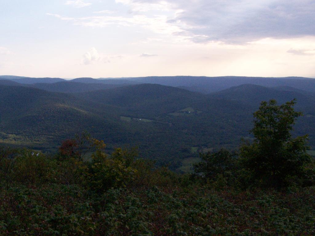
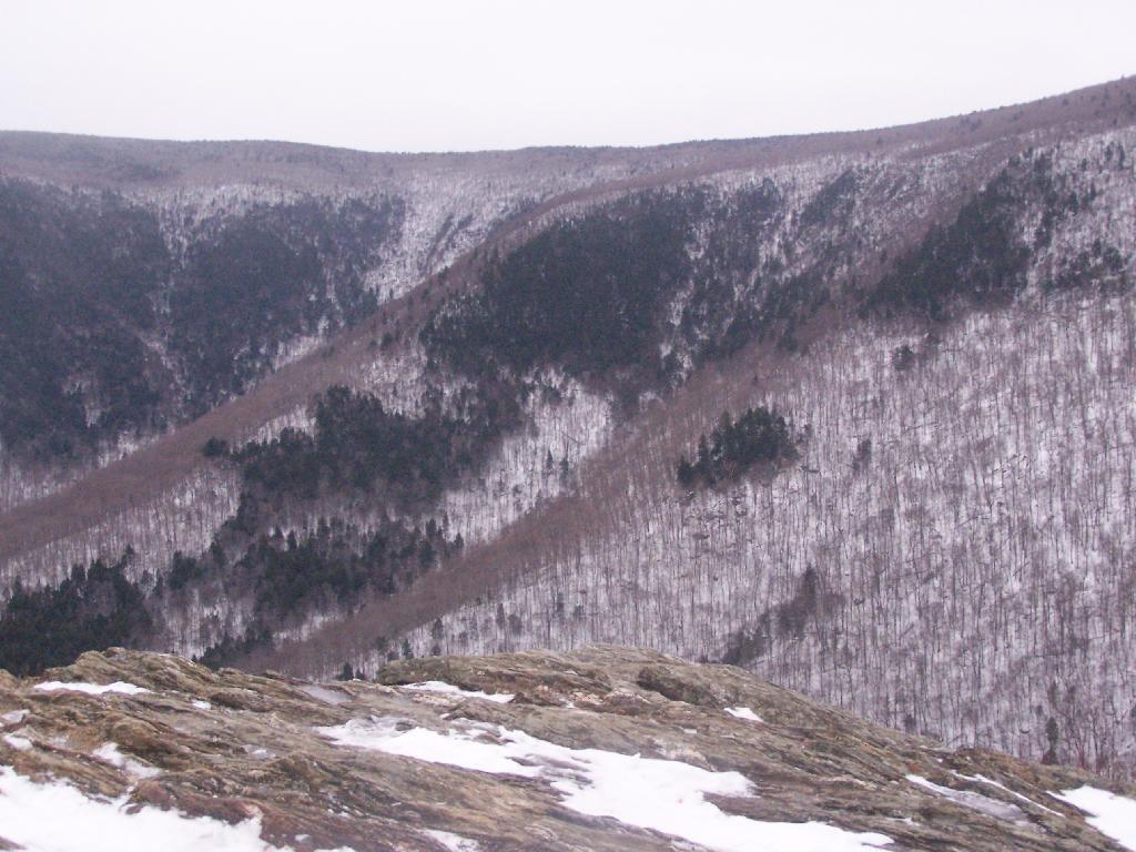
Here is the pass between Mount Greylock and Mount Prospect. The “wrinkles” in the mountain, and the stony-nature of Stony Ledge just seemed so perfect for this rapidly greying day.

East Off Stony Ledge

I didn’t spend much time at Stony Ledge. Shortly after reaching Stony Ledge, it started to sleet (ice pellets) pretty hard. My left-cleet came apart on my snowshoe, so I decided I’d better head back. I wanted to find the pieces that fell off my snowshoe, so I returned the way I went up the mountain.

Greylock Shrowed in Snow

Part of the descent down on Hopper Trail was quite steep and icy. With my broken snowshoe, which I later found the parts for on the trail, it was a slippery descent. The old roadbed was covered with a thick layer of ice, made slipper from the sleet, and at an almost 45 degree angle to the roadbed, because of drifting snow.

Hoof and Leg

Looking up towards the Cut Off to Money Brook around 1:30 PM as the snow was rapidly flying around and coming down. It wasn’t quite whiteout conditions, but it was very white. It would change from ice pellets/sleet to snow then to ice pellets, and finally back to non-freezing rain.

Cut Off to Money Brook Trail in Snow

By the time I made it back to my truck, it was pouring rain out. Much too wet to get the camera out for sure. I hopped in the cab of my truck, took off my thermal overalls, and got warm. It was a long drive home on very slippery roads, but it was worth it.

Here is a map of the route, in blue.


View Hikes of 2009 in a larger map

Shitty Toilet Paper

Notes on the Re-Run for Sunday, August 7th.

Please use care when disposing of your human waste. Use an outhouse when possible, always do your business 150 feet or more away from water. Don’t bury toilet paper, bag it and burn in the next campfire instead. Keep our forests clean!

— Andy

One of the things that strikes me as a problem in the great outdoors is how people don’t know to take care of their personal waste, particularly their shitty toilet paper and dirty tissues.

There are people who wouldn’t think of littering a candy bar wrappers, tossing a glass beer bottle over the side of a mountain, or dumping the remains of roofing project in the woods, are quite happy tossing tissues along the side of the trail, or leaving used toilet paper blowing in the wind.

The worst is when you find it nearby water or maybe nearby some place where you might want to camp. I don’t want my water messed up with giardia or beaver fever. It’s just disgusting, because it’s clear evidence of water contamination.

Shitty toilet paper….
just plain disgusts me to no end.

Yet, there is an alternative. Do not shit near water, trails, or campsites. This will keep your butt from showing and protect our water supply. And just make sure to pack out and / or burn any toilet paper you use. Bring a plastic bag, toss your paper after using in there, and seal it up.

Fire

If you have a hot campfire, toss the bag of shitty toilet paper in there and let it burn. As long as the fire is hot, it won’t smell and will be gone instantly. The thing is you don’t want to leave toilet paper around, for the next person to find, when some animal has dug it up and dragged it out along the trail.

Alternatively, use leaves. They aren’t as great as toilet paper for wiping things up, but if you don’t want to take your toilet paper home with you or burn it, do the right thing, and just use leaves and bury them far from the trail.

Drives Leaves

Do us all a favor. Don’t leave used toilet paper or tissues as a present for all to run into in the woods.

Alander Mountain

Alander Mountain is the highest point in Columbia County. I chose to access the mountain from Mt Washington State Reservation Park Headquarters in Massachussets. You can also visit there from New York State in several other directions, although the elevation increase is substantial.

While it was clearing when I left Albany around 7 AM, when I got out to Mt Washington State Forest, it was a misty-rain mix. I left my raincoat home, but fortunately it was more damp then heavy rain.

Rain

They do not allow casual primitive camping in the Mt Washington State Forest. That said, 1 1/2 miles up the trail there is two or three sites for primitive camping. Nobody was up there on the rainy days.

Sign to Camping Area

Primative Campsite No 1. Somebody left some cords up along with basic cooking things and water bottle, along with a nicely built up fire pit.

Campsite No. 2

The trail got steeper as I continue up the mountain, and at the same time got clearer and nicer out.

Clearing Out

When you arrive almost to the top of the mountain, there is a beautiful little cabin you can stay in for no charge. It appears to be fairly popular, but with 6 bunks and floor camping space. There was a fair bit of unburnable trash around — particularly liqour bottles, even though technically alcohol is prohibited in the state forest.

Regardless, it looked like a fine place to camp. There is a wood stove in the cabin so you can stay here in the winter. I didn’t look at the wood supply around, but it looks like that shouldn’t be a problem.

Alander Mountain

While there was no official camping allowed on the mountain, people where certainly camping up there, and there were places where one could get well off the trail, yet camp in an open area with minimum damage to the land.

Once atop the mountain, it was still foggy and damp, but it was clearing out.

Watching Fog Burn Off

Mountains Fade Into Fog

As the morning progressed, the sky got progressively clearer.

Clearing Clouds

There was a Turkey Vulture flying over the landscape.

Turkey Vulture

When it cleared out the views where beautiful, but with still quite a bit of haze remaining from the morning. I want to be up here one day in the fall when it is much clearer out. Maybe spend the night at the cabin, and enjoy the sunset and the leaves under the morning light.

Valley

Brace Mountain and Ashley Hill as seen from Alander Mountain.

Brace Mountain

Farms and other uses throughout Copake Valley looking down towards Millerton.

Apple Orchards and Swamps. This is similar from the views from Sunset Point that I looked down from during a springtime hike.

Apple Orchards

Alander Mountain is partially in Massachusetts and partially in New York. The peak is in Massachusetts.

State Line Marker

The lower unamed plateau I hiked along on the South Taconic trail. By 2:30 in the afternoon it started to look like rain once again.

Sure Looks Like Rain

Returning back to the truck, it still looked like rain. You can see Alander Mountain in the background, from the area near the Mt Washington forest headquarters.

Alander Mountain

This is a map of the route.


View Hikes of 2009 in a larger map

White Rock and Snow Bowl

On Saturday evening after doing some political volunteer in the morning, I decided it was simply too nice to spend the afternoon home. It also was Memorial Day weekend, so I decided I wouldn’t be able to get the best campsites at the State Forest in Summit, so I decided to go hiking.

Taconic Crest Trail

So I chose some place close: the Taconic Crest Trail, north of parking lot at Mountain Raimer on state border of NY-2 & MA-2. It’s quick drive from Albany, and a beautiful place to hike particularly in the evening.

Hikers on the Taconic Crest Trail

The section on the Taconic Trail runs partially on the Hopkins Memorial Forest, a parcel owned by Williamstown College. Camping and hunting is prohibited on this portion, as it’s used for research. Other sections are owned by the DEC or run on DEC easements that allow most conventional uses.

Here is off White Rocks.

Off White Rocks

Several small hobby farms you can see from off White Rocks.

Petersburgh Hills and Mountains

Along the trail, looking south in the mid-afternoon, with Mount Raimer and NY-2 in the background. This looks like somebody has stayed here in the past, although I’m not sure if it’s NYSDEC land, and even if it is, it’s too close to the trail to be fully-legal camping.

Raimer and the Pass

Here is NY-2 winding up the mountain.

Route 2 Climbing the Mountain

Interesting walk through a thick grove of Ash Trees.

Ash Trees Along Trail

Crossing a muddy area on boards.

Muddy Area

One of the unique features of the area is a place called Snow Bowl, a deep cavern in the woods, between peaks, that is known for holding snow deep into the summer. No snow is left by September, but it, according to the guide book, frequently has snow remaining by mid-summer.

No Snow in Snow Hole

Beyond Snow Bowl I hiked about another mile. Not much in views over hear, but still a nice hike with only limited climbing up and down. I think I crossed into Vermont, but I did not see any signs of markers saying Green Mountain National Forest.

Hiking back the sun was starting to set, and there where clouds making for some impressive vistas.

Petersburgh Hills and Mountains

Back at White Rocks there was some pretty views as the sun was setting.

Looking Out Towards Albany

For a while the sunset took away my breath.

Beauty

As the day came to an end.

Setting Sun

When I got my truck, this was the view of Mount Prospect from the parking area.

Mount Prospect

Here is a map of the hike.


View Hikes of 2009 in a larger map

Brasher State Forest

About 5 miles north of North Lawerence, on Saint Lawerence County Route 55 there is a sign for the Brasher State Forest and Walter Pratt Picnic (and Primitive Camping) Area, maintained CC Dam Association.

Brasher Falls Sign

As you enter the camping area, there is a sign for the picnic area along the lake, and camping on the other side of the road. Originally they allowed camping on both sides of the road, but concerns about run-off and other pollution from campers relocated the sites to the other side of the road.

Entering the Campground

If you want to camp, all you have to do is sign-in on a card, and stick it in the retrospective window. This so they can contact you during an emergency. You can stay for up to 3 nigths, or longer if you get up to a 2-week renewable permit from the DEC.

Campers Sign In Here

The campsites are quite nice. Not all of them are as separated as this one, but I wanted one that was a little farther away for some peace and quiet. Also I figured I could listen to music as loud as I wanted to here.

Campsite 21

One of the major features of the area is a beautiful dammed up section of the Red Brook, that creates an artificial lake. The Civilian Conservation Corps Dam, built in the 1930s, is where CC Dam Association name comes from.

C.C. Dam

There is a swimming beach where people can swim at their own risk. As you can see, it’s some pretty nice swimming, although the lake is a little muckier then it appears in the pictures, and is a natural reddish color from the minerals in the sand of the Saint Lawrence County.

Swimming Beach

They have a horseshoe pit.

Horseshoe Pit

They have a hand pump for one to get drinking water. It’s marked non-potable, probably because it draws from the same shallow aquifer of the lake. You can easily boil it on a stove to make it safe to drink.

Non-Potable Water

The outhouses are in quite nice shape and very clean as you can see from these inside and outside pictures.

Outhouse

The sites are just wonderful. Here is Campsite 21 after I had put away all my gear before heading out. The fire pit rings vary, but for a free place, are pretty darn awesome.

Firepit and Table

The CC Dam Association is made up of volunteers from the Tri-Town Region of Saint Lawerence County, the nick-name for the Brasher Falls/Brasher/North Lawerence hamlets that dot the country south of Malone.

They collect old beer cans and accept donations via the mail for fundraising. Since camping is free, and the place is so well up-kept, I’m sure they apprechiate the help. Not to mention, collecting beer cans probably reduces litter, because people can’t really burn them, and some can be lazy about packing out their trash.

Cans Only

There are a number of other marked campsites on other truck trails in Brasher State Forest, including down by the Tri-Town Horse Trail area near Brasher Falls. In addition, there are dozens of miles of truck trail to drive legally in a pickup, ride with a horse or mountain bike, or illegally on a quad.

Here is a map of Brasher Falls State Forest and it’s relationship to Massena. You can zoom in for more details. NYS DEC Land Mapper has a run down of the trails.


View Hikes of 2009 in a larger map

Deer River State Forest

In south-western Franklin County there is a state forest with approximently 12,00 acres of land, and almost 12 miles of truck trail. Most of it is wooded and moderately hilly, with acres of swamps and rivers, with substainal access via truck trail.

Truck Trail

There are three campsites along Conservation Road, with one at Iron Bridge on the Deer River. This is a popular site, one with limited nearby firewood. You probably could drive to another portion of the forest, chop up some wood, and drive back so you have enough for camping.

Packing Up

The site is number 5, although I was only able to find sites one and two nearby. The other ones must be on other roads. I didn’t drive all over Deer River State Forest, due to the noise the hubs where making on the truck, worrying me about a potential breakdown/failure with the bad hubs.

Site Name

Parts of Conservation Road where relatively rough and potholed, but compared to some of the other roads it wasn’t all that bad.

Conservation Road

At Iron Bridge, there is a popular swimming hole. I went in both in them evening to cool off and in the morning to bathe.

Swimming Hole

Right now, the area is only open to pickup trucks, horses, mountain bikers and hikers. Hopefully the DEC will open it up to legal ATV access, as was planned under the Governor Pataki administration, prior to a lawsuit brought by the enviros.

Here is a map of a Deer River State Forest where I camped. There are many other areas of the state forest I could have explored if I had spent more time up there. It was a nice place.


View Hikes of 2009 in a larger map