Search Results for: map old route 30

Brookfield Auto Trail

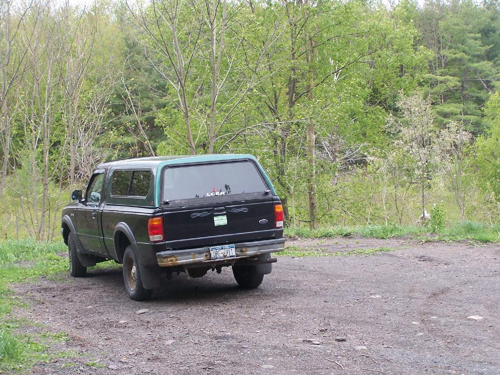
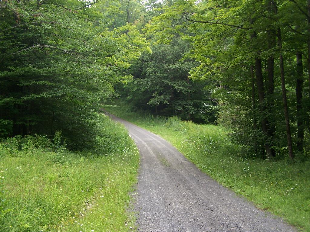
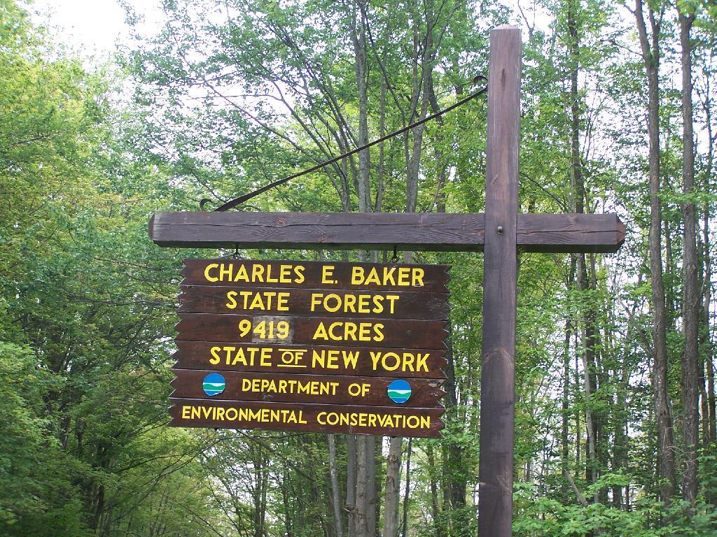
The Brookfield Auto Trail is located in the Charles Baker State Forest, a large state forest and popular equestrarian area that gets much use. Much like you would expect in such an area, there is a lot of mud, lot of horses and horse flies. I did a drive through of the truck trail, but was under impressed by it all.

Truck Trail #6

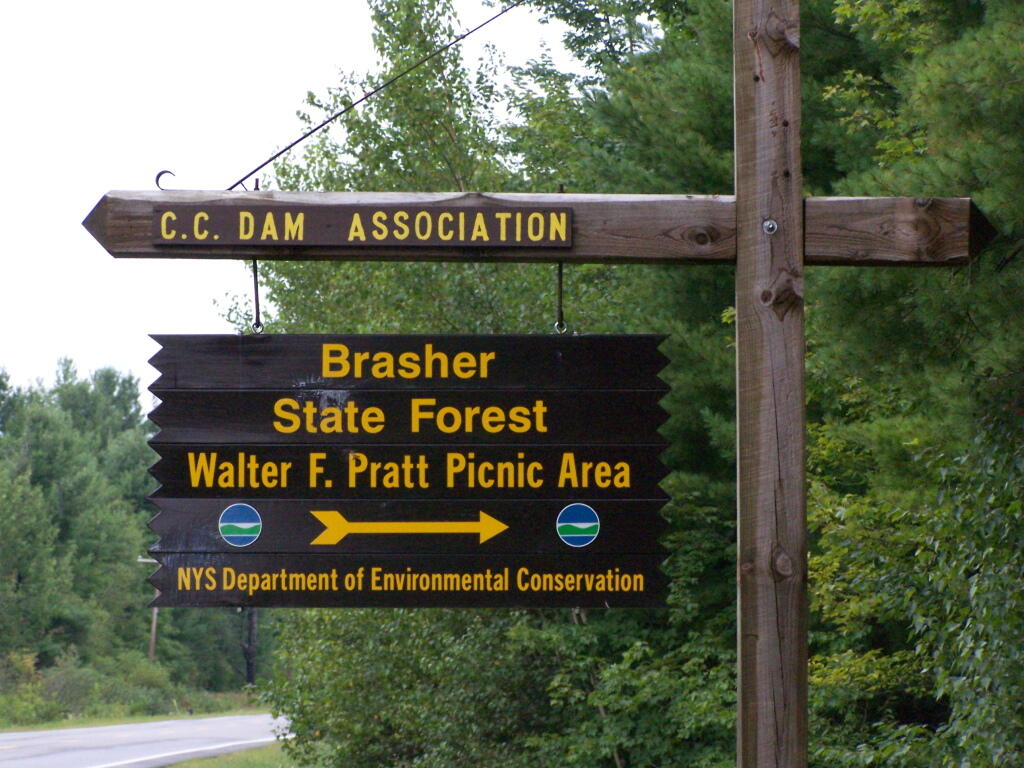
CNY Hiking did a great write up about it, so I won’t go through all of it, but I will make some brief comments about it. CNY Hiking has pictures from all of the stops, and a copy of the map and associated tour pamplet that is also avaliable at the main-horse Assembly Area on Moscow Road.

Charles Baker Sign

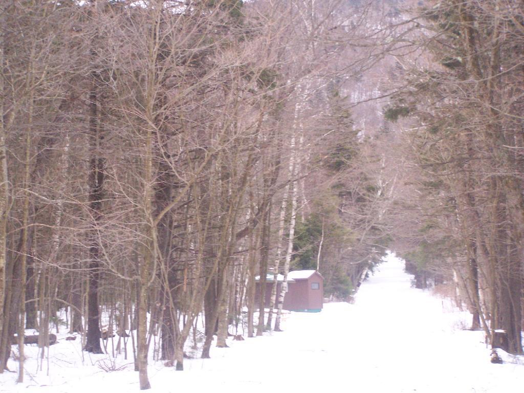
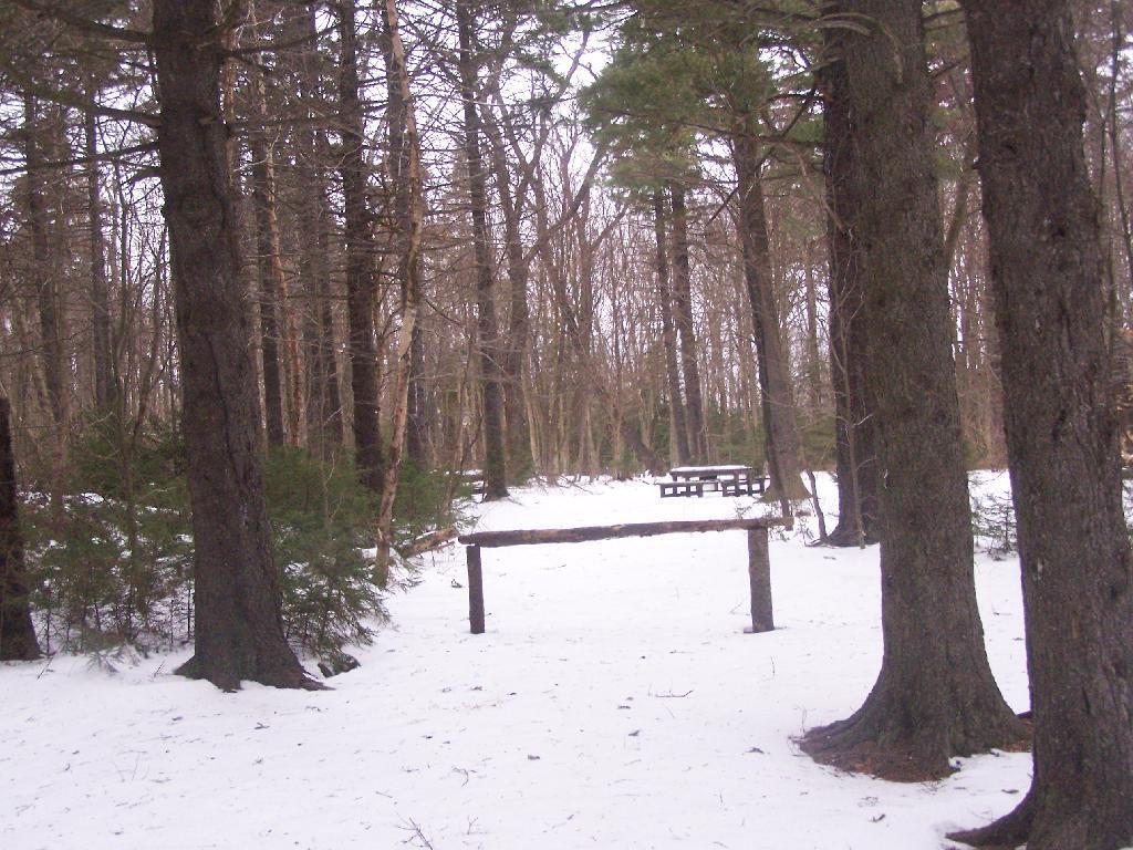
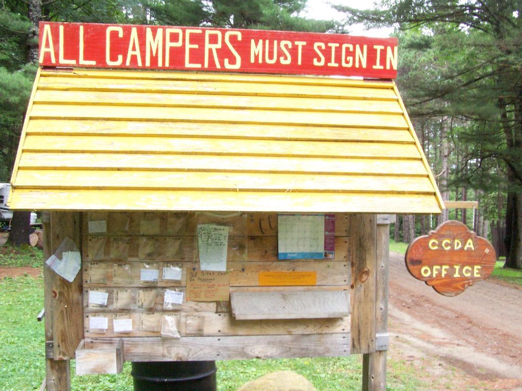
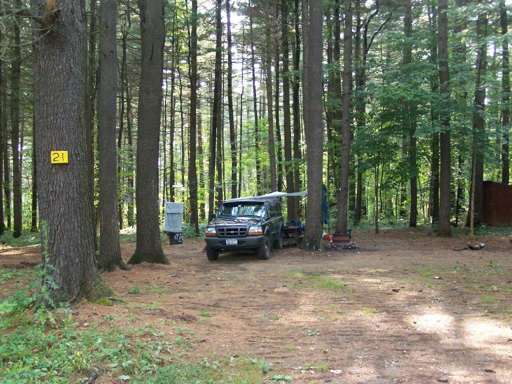
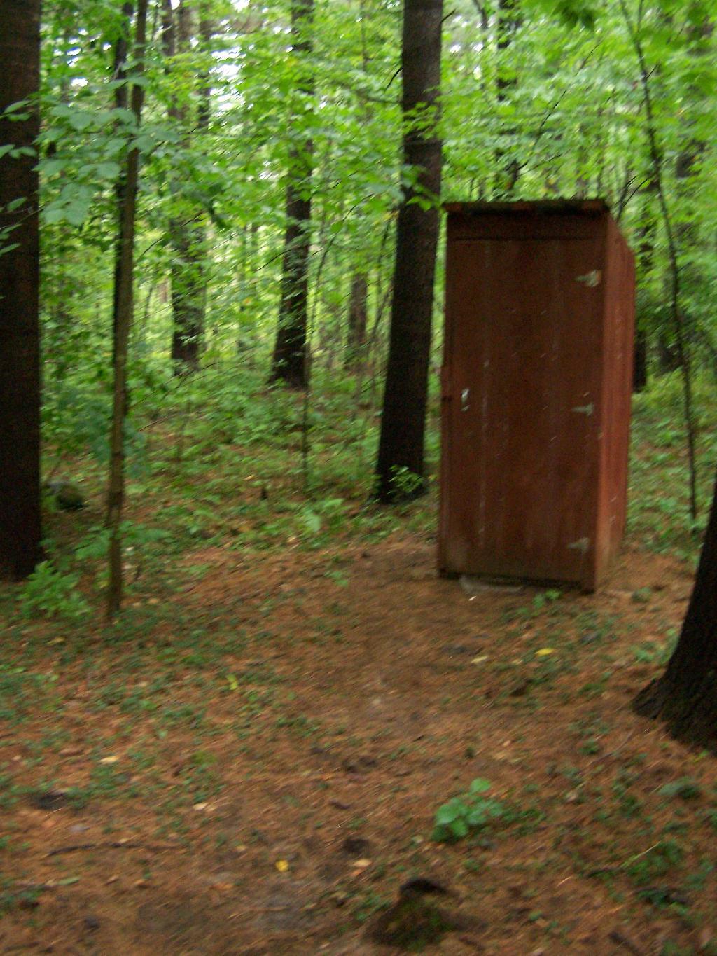
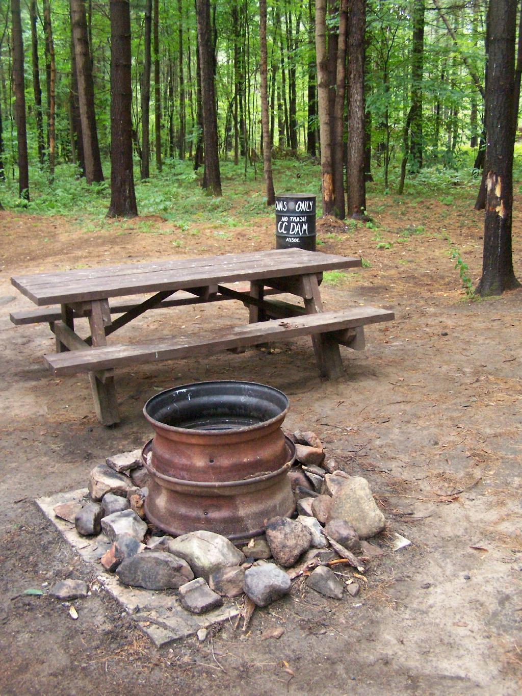
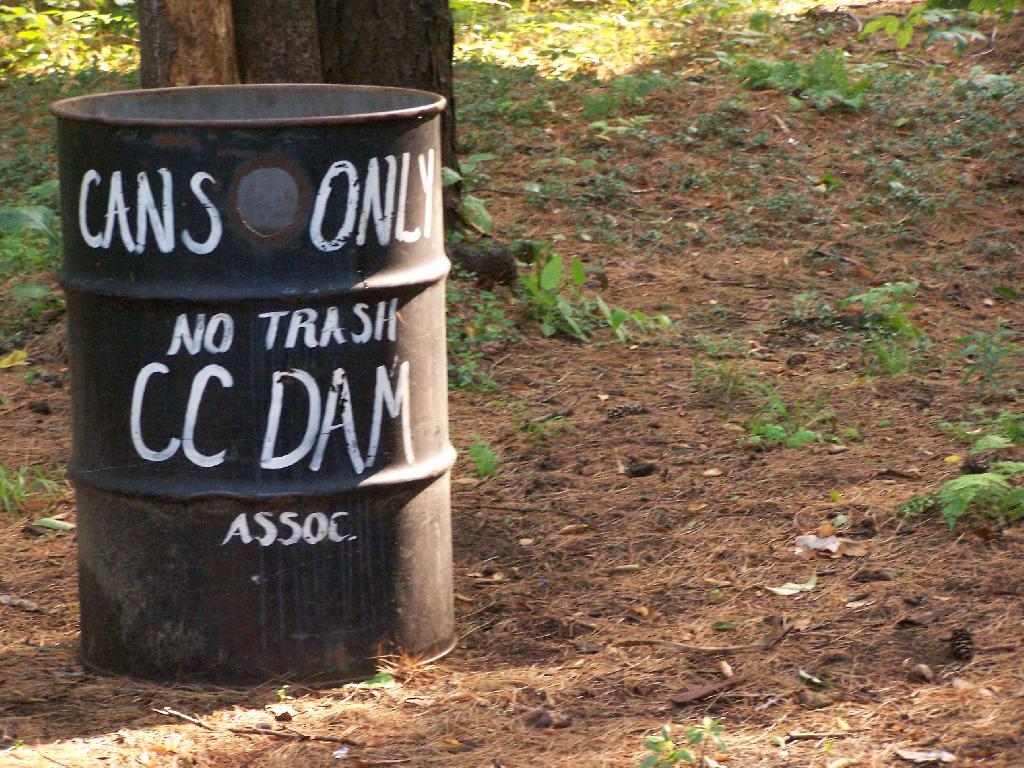
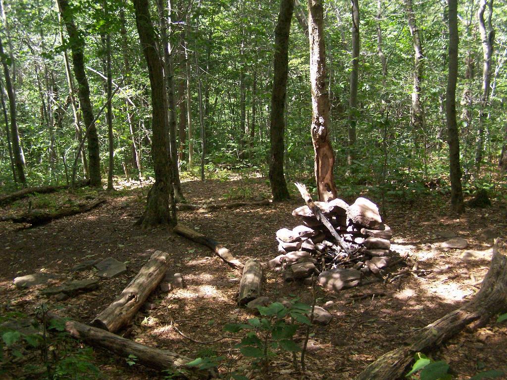
Next to the Assembly Area is a Camping Area, with 21-sites closely put together. I was not a big fan of them, simply because they where too dense, particularly for equestrain use. They should have been far more spread out, like along the many miles of truck trail, or at least with a little more privacy.

Truck Trail #6

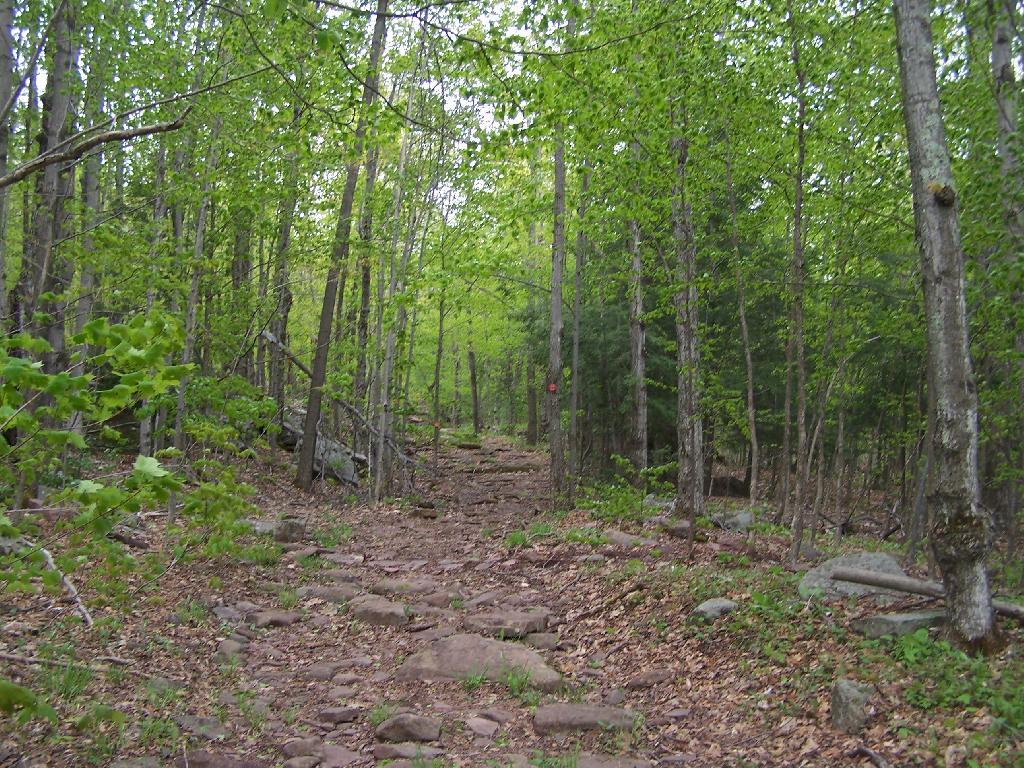
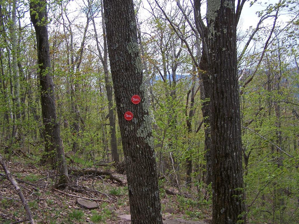
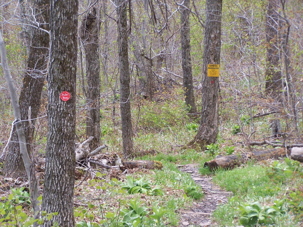
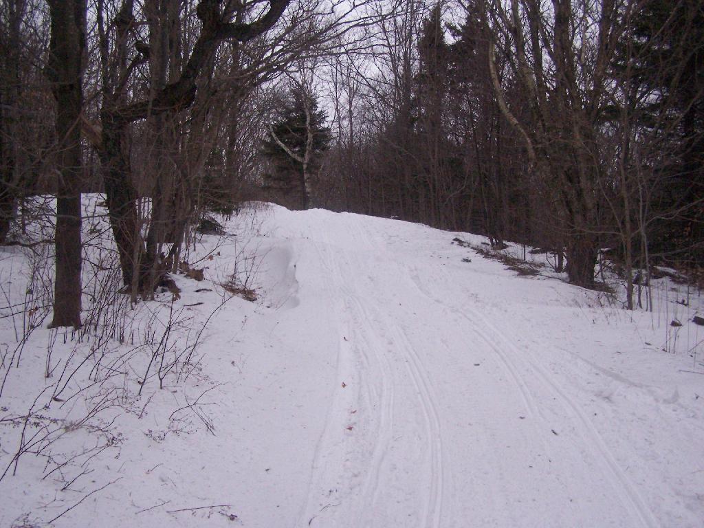
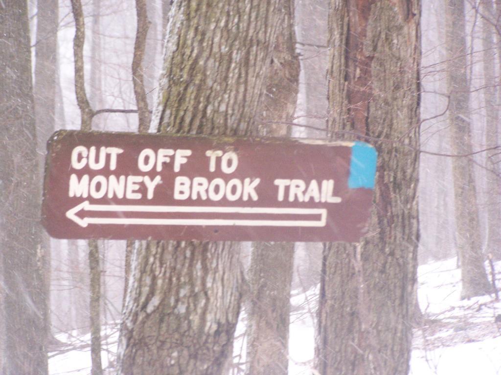
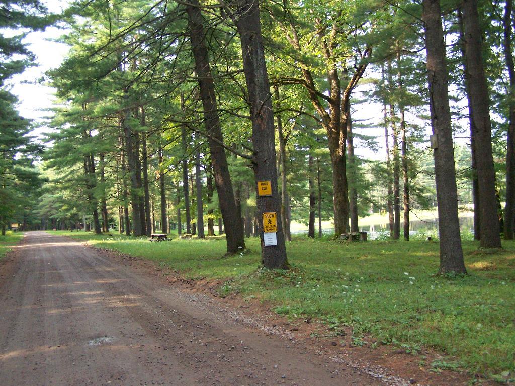
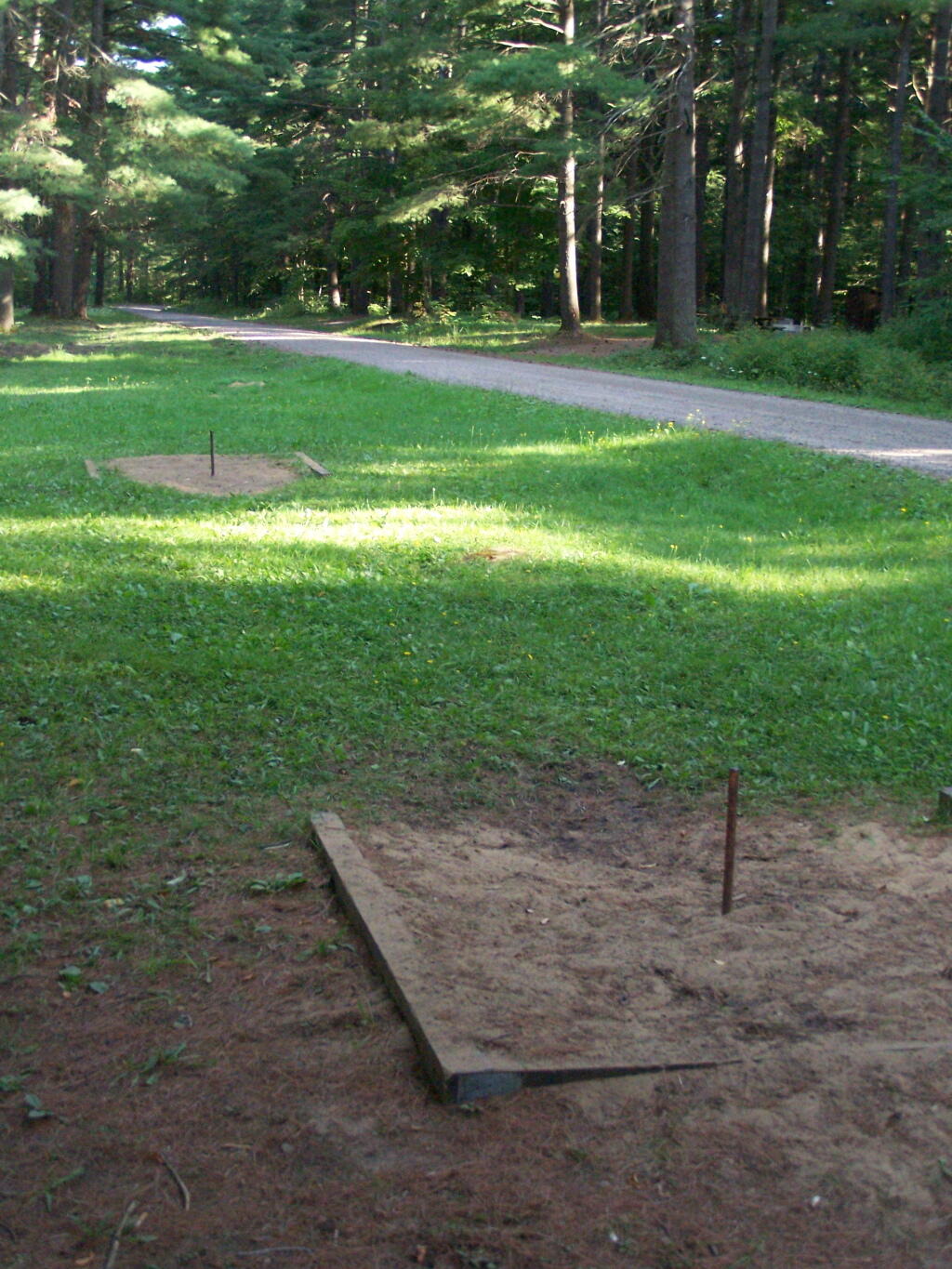
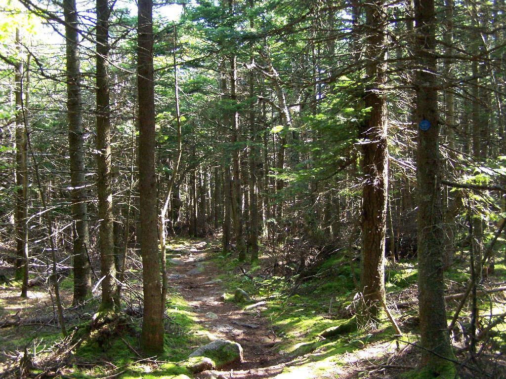
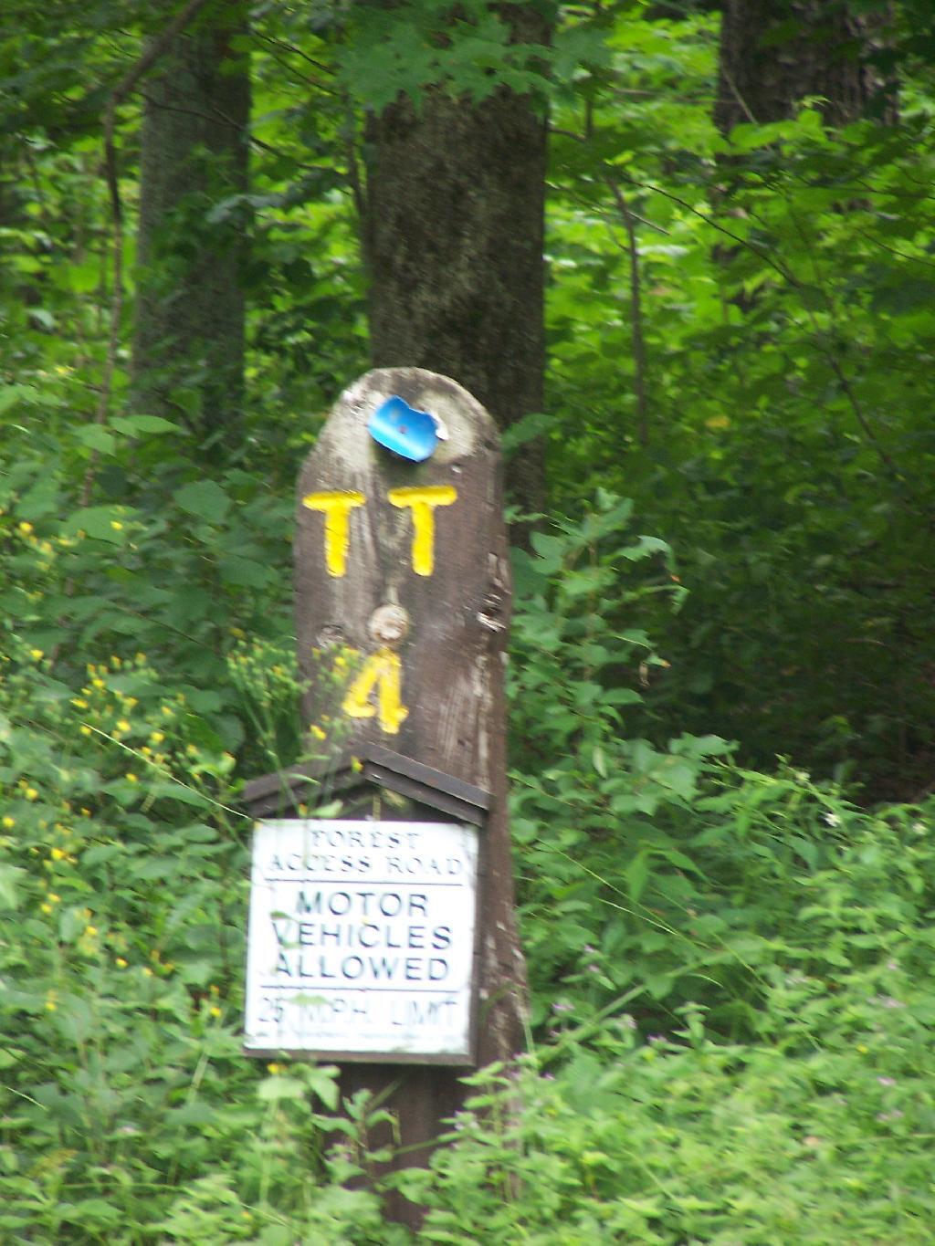
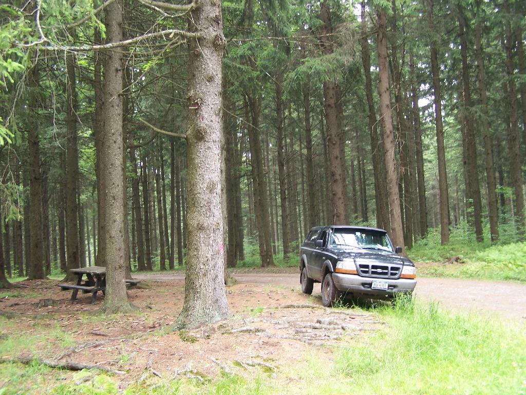
Almost all the miles of truck trail where easy to follow, and nice and smooth. The trails where gravel and well maintained, although some of the markers had disappeared into the grass.

TT 4

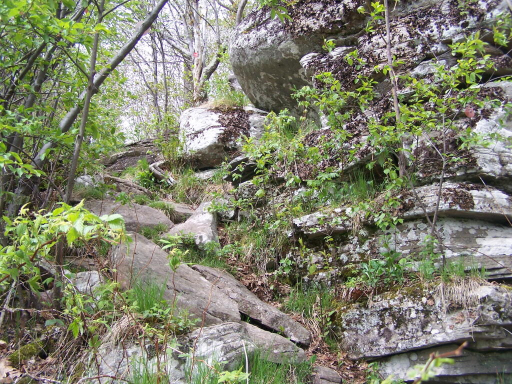
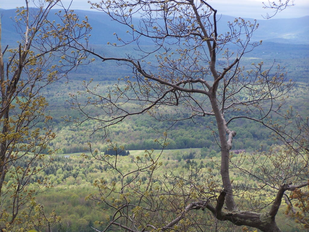
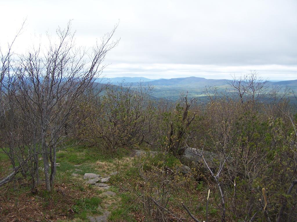
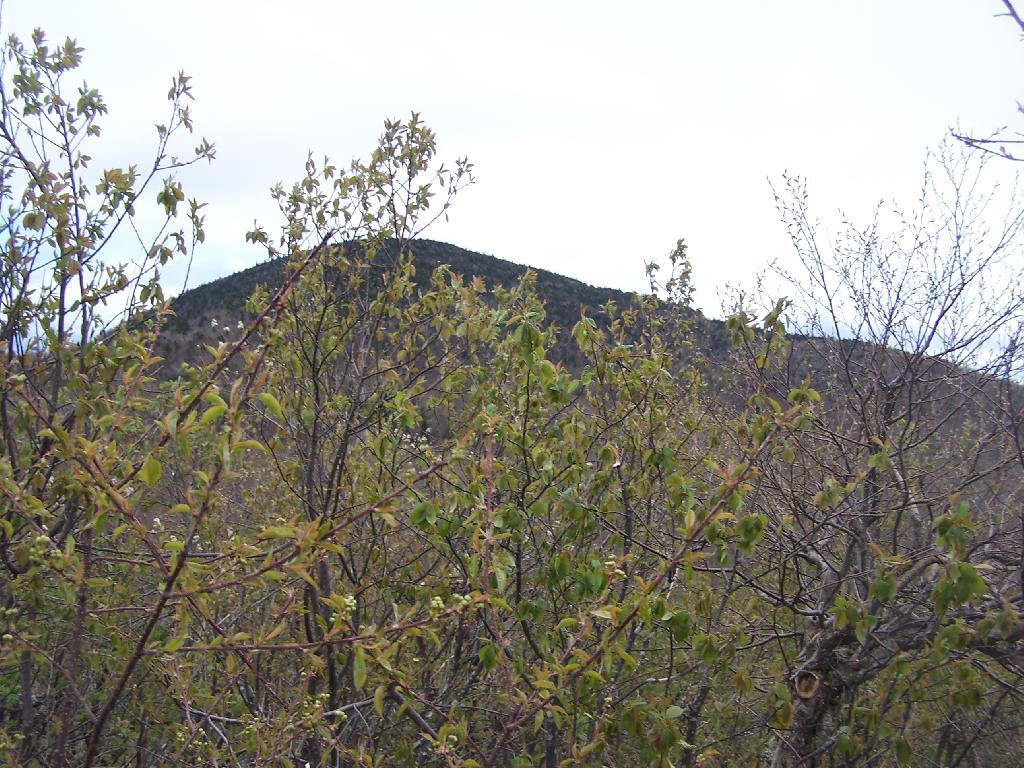
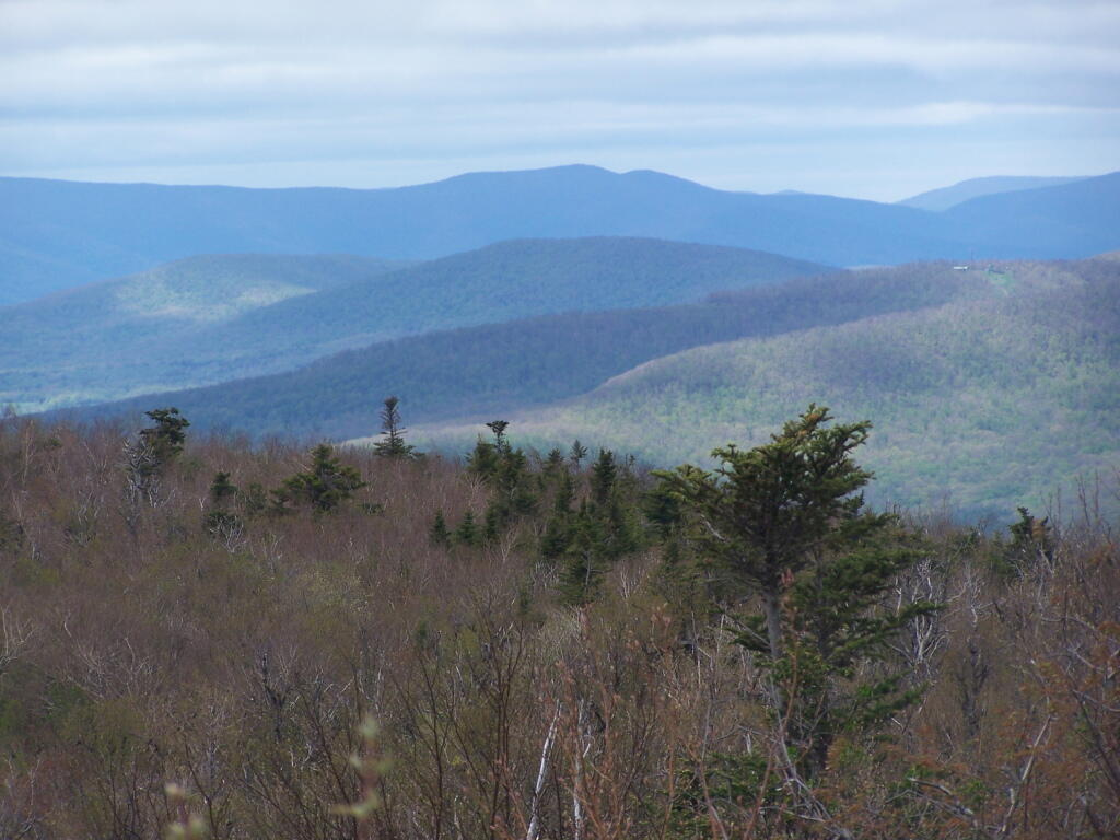
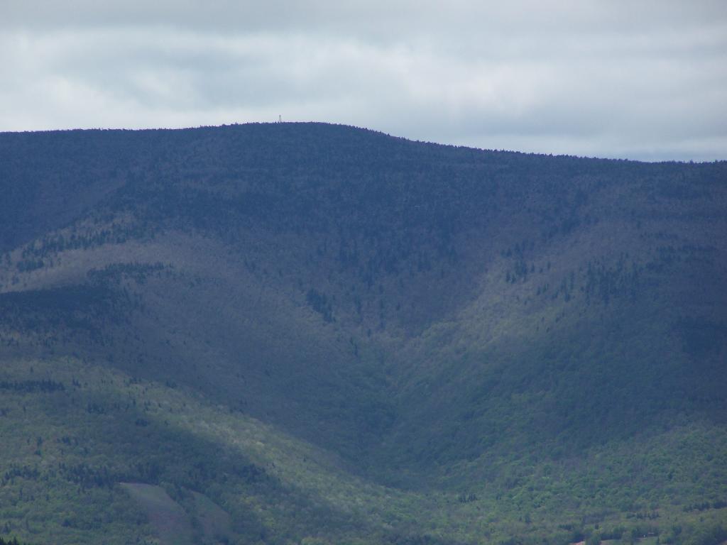
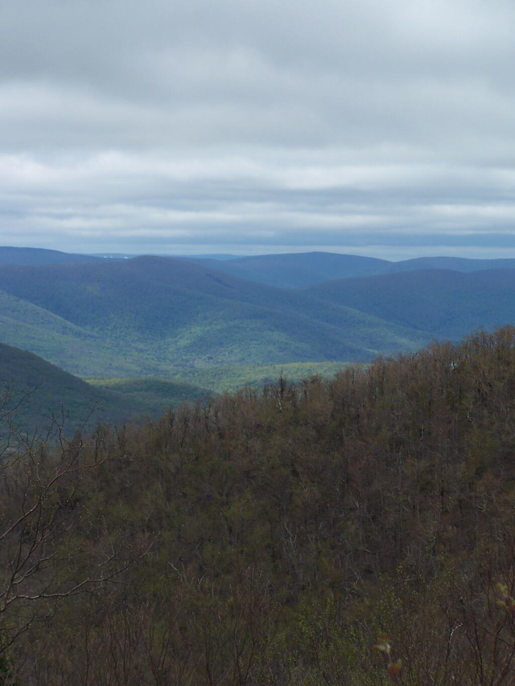
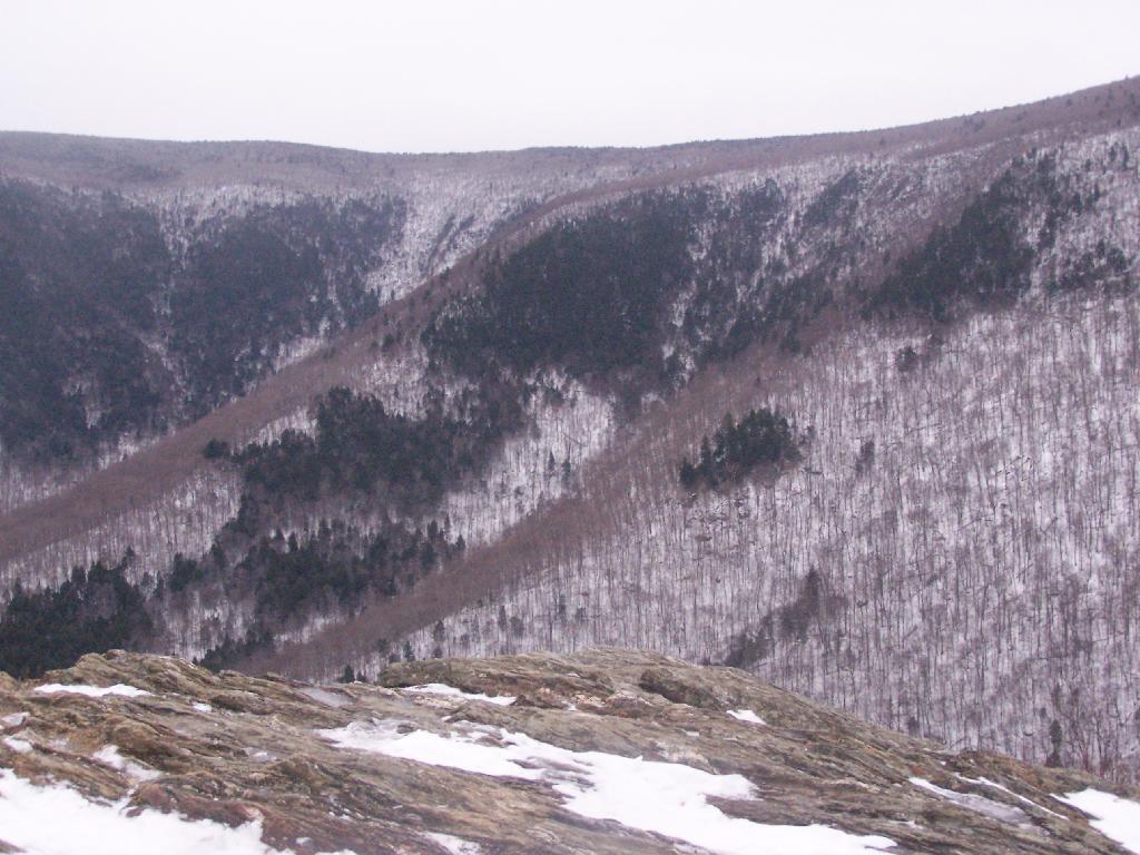
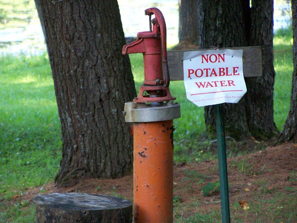
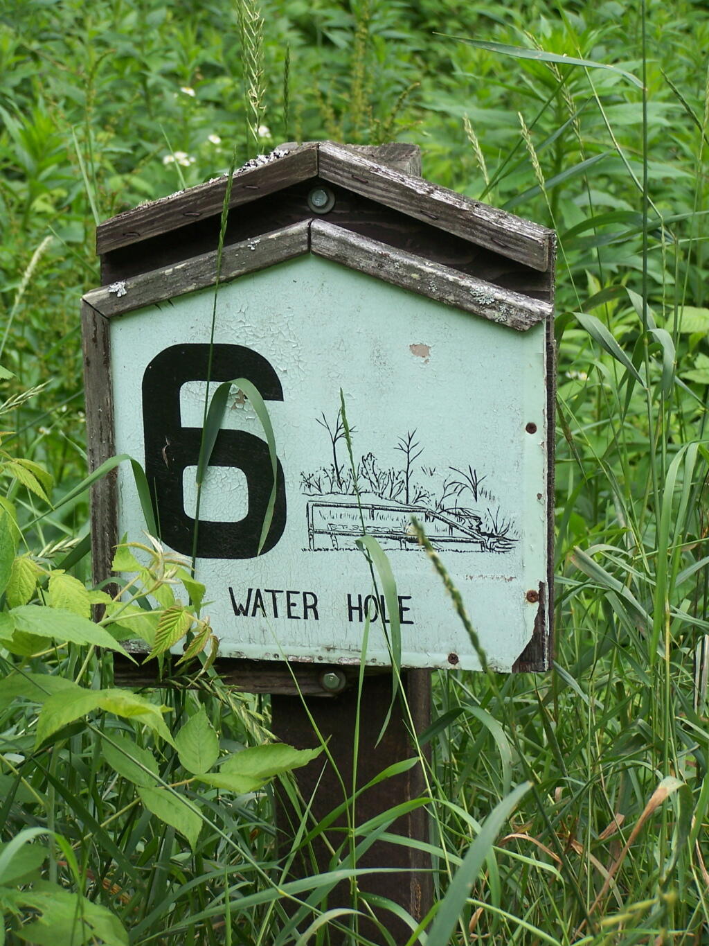
Many of the stops are moderately interesting, although there are no great vistas in the entire route, which is relatively flat except for a few moderate hills and valleys. One of the more interesting stops is the No 6. Water Hole, dug originally for firefighting.

Stop 6: Waterhole

Dug Waterhole

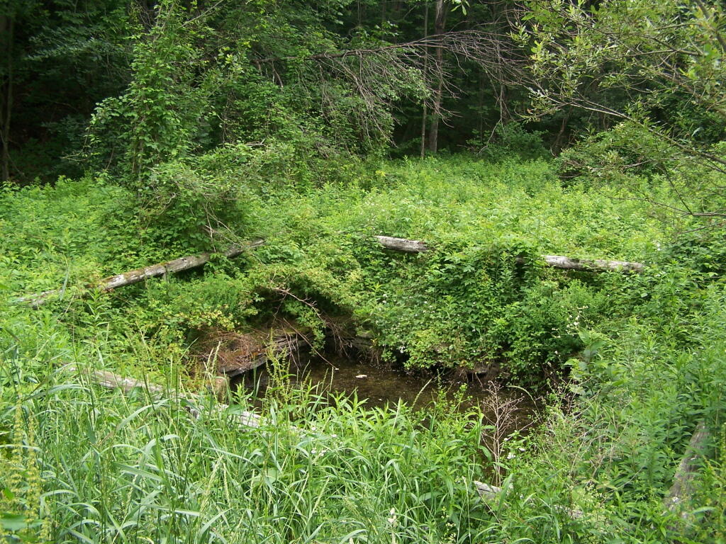
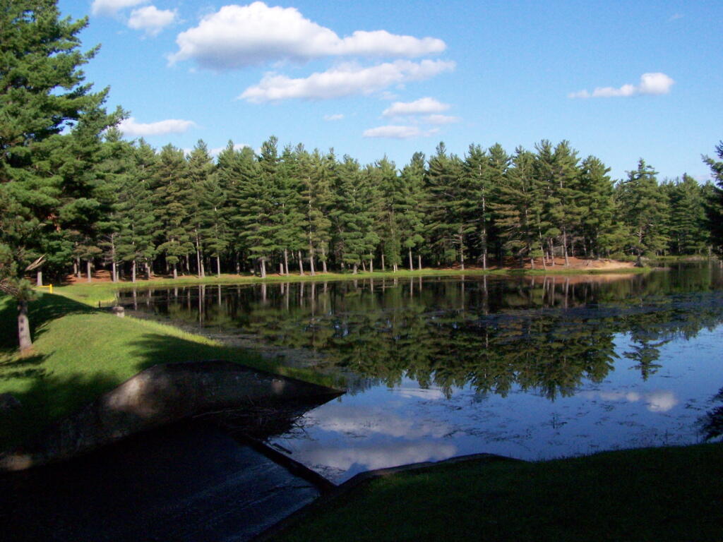
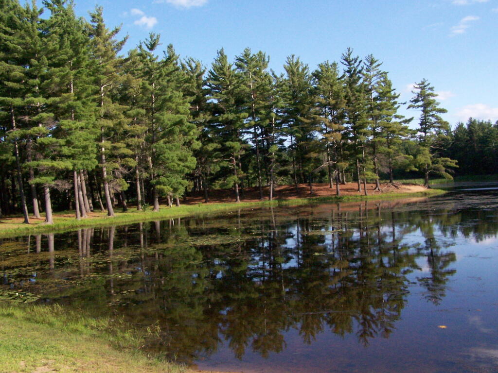
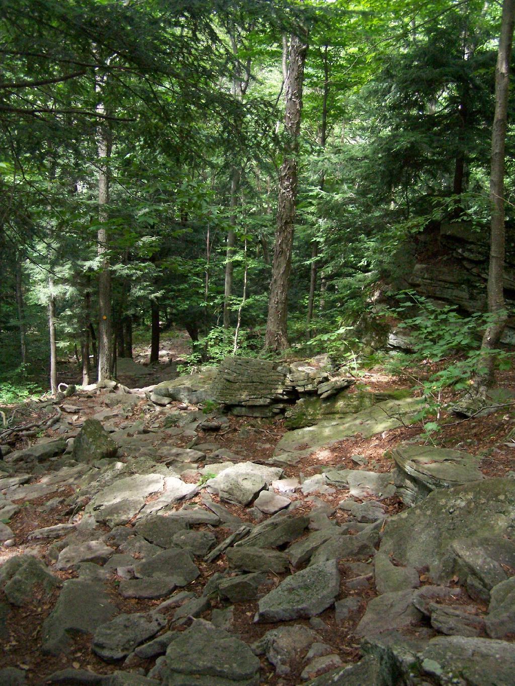
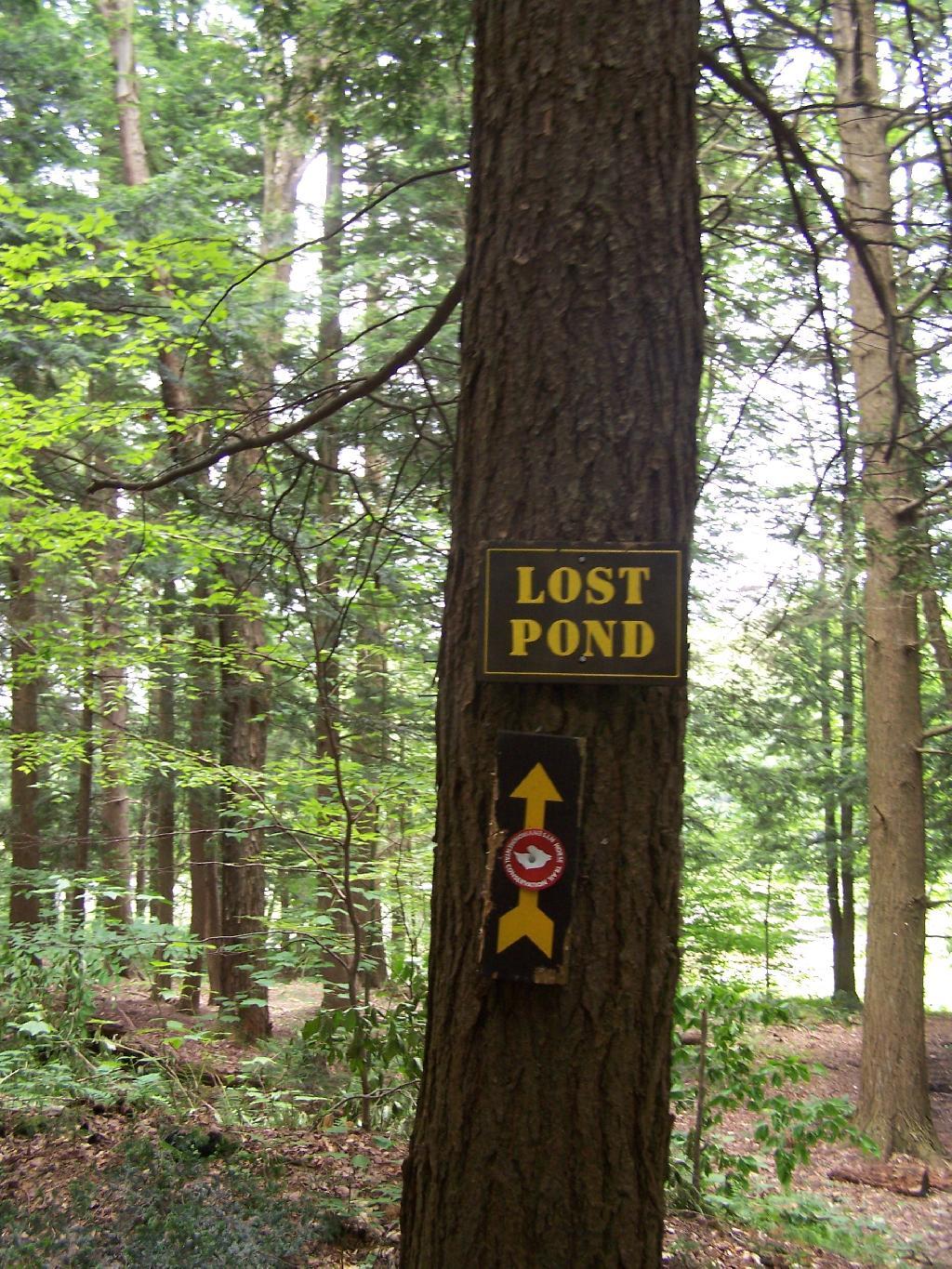
There are no large ponds at Charles Baker, although Lost Pond is a man-made pont in one of the valleys. It is very rough country around there, and muddy from the horseys.

Lost Pond Sign

Lost Pond Sign

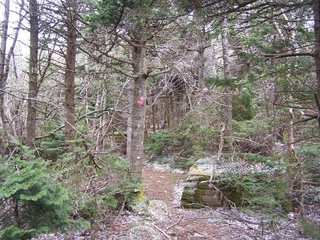
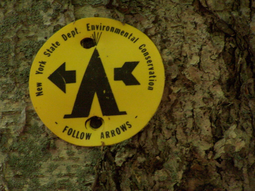
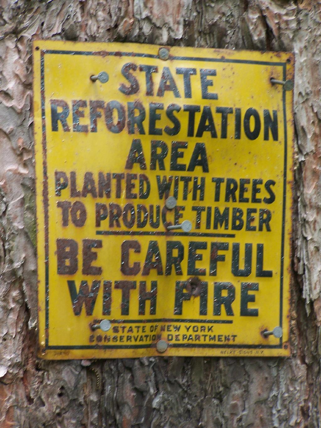
Along Truck Trail Number 6, there is this fascinating old marker nailed on to one of the White Pines in the planation.

State Reforestation Area: Be Careful With Fire!

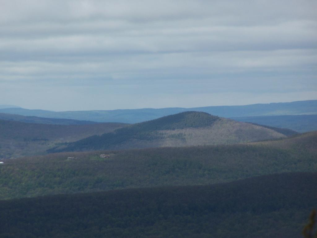
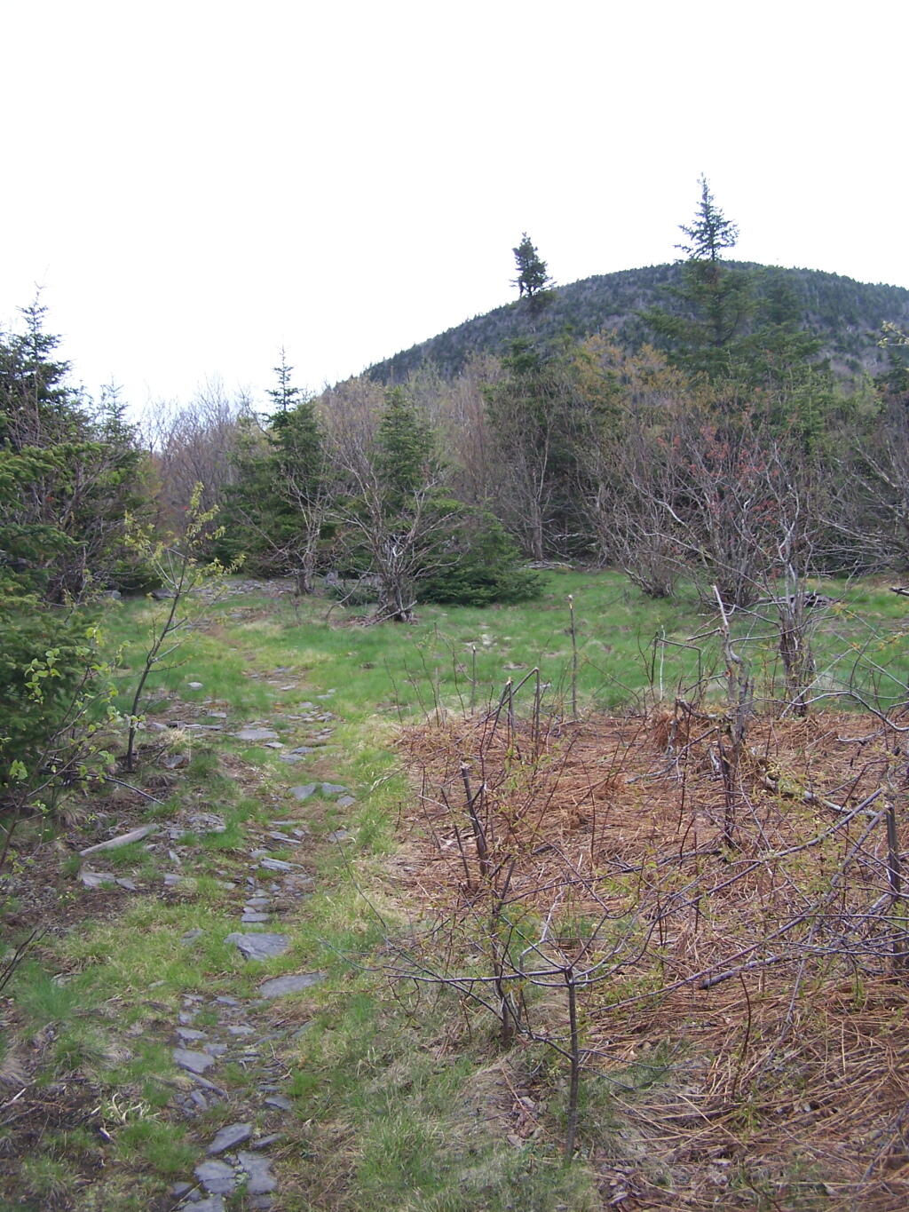
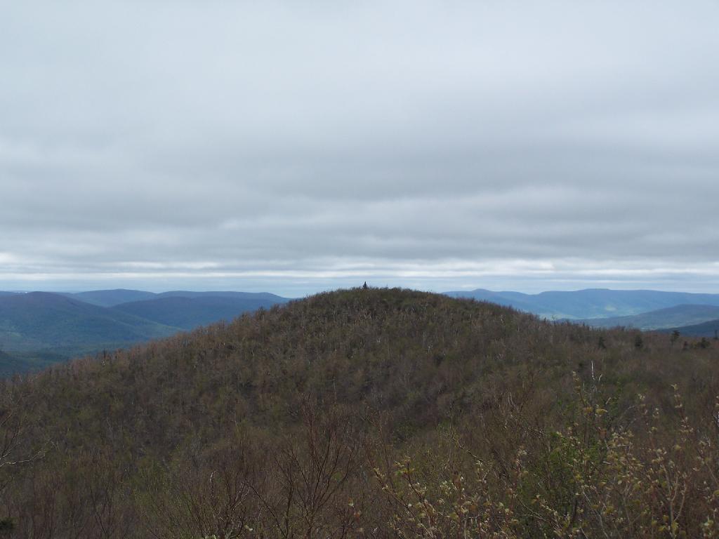
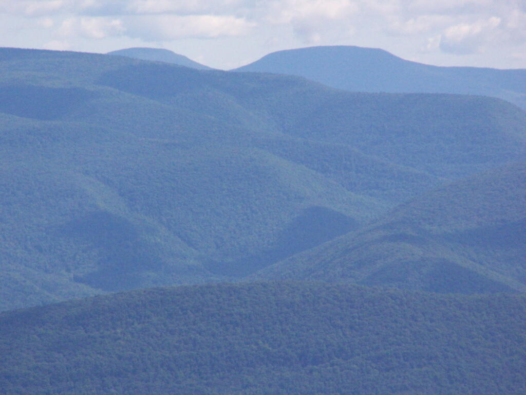
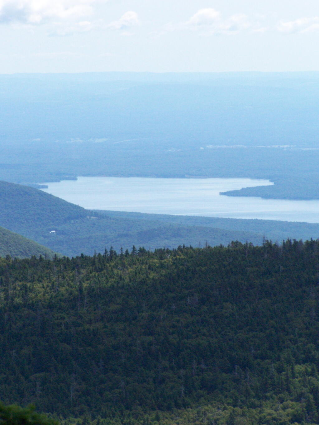
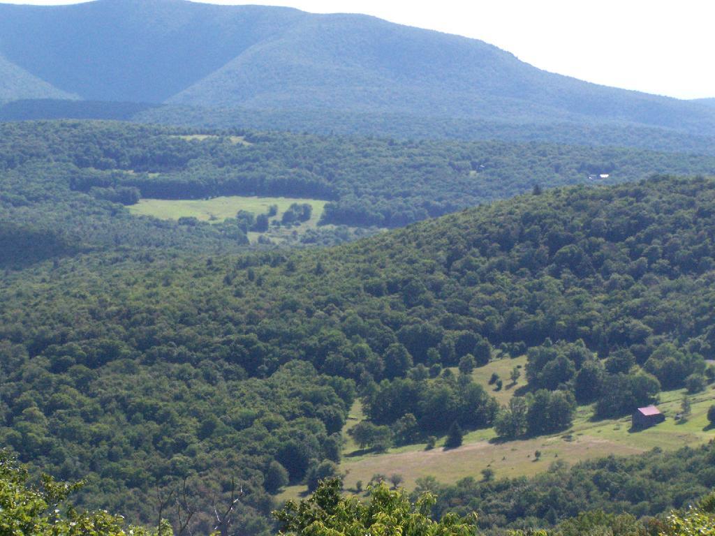
The best part of the Charles Baker Auto tour is no more, the old firetower site. The fire tower was demolished in 1978, and supposedly was a very popular end to the tour, with views of the valleys surrounding the Charles Baker State Forest.

At Old Firetower Site

Here is a map of the route, although I also recommend you see the CNY Hiking Write Up.


View Charles Baker Auto in a larger map

5 Ways I’ve Driven From Albany to Plattsburgh

Back when I was in college, I used to drive back and forth between Plattsburgh and Albany a lot. I used to try a variety of routes, some more indirect then others, to see the scenery, especially when I had extra time to burn in the afternoon.

1) Via the Adirondack Northway.

The most direct and quick way is via the Adirondack Northway (I-87) all the way up.

2) Via 9N Through Ticonderoga – West Side of Lake George.

This way is really slow as you wind your way up and over Tongue Mountain, and through all the little resort towns along the west side of Lake George.

3) Via NY 22 – East Side of Lake George.

This route is moderately fast. There is some spectular secenry along NY 22 as you head from Whitehall to Ticonderoga, with sweeping views of Lake Champlain.

4) Via Lake Champlain Bridge and Burlington.

I quite often would take this route over the old Lake Champlain Bridge when I wanted to visit Burlington. The old bridge was beautiful, as is the landscape after you cross into Vermont. Burlington is an amazingly nice city too.

5) Via NY 22A and Burlington.

I used to come back via Burlington some times, by taking VT 22A through the dairy country of southern Vermont. The land is pretty flat, and VT 22A, but there are still some amazing views of the Adirondack Mountains along this route.

Thomas Cole Mountain

Two weekends ago I went out hiking on a portion of the Blackhead Range, known for it’s Rooster Comb that it visible from most of the Catskills and Albany. Heading down there, I missed the turn-off to Barnum Road, which is a side road marked with a “Forest Preserve Access” sign from County Route 40, just as you head south out of Maplecrest.

Finally Found the Trailhead

The first part of the trail follows the right of way of the Old Barnum Road, until you access the Blackhead mountain Wilderness, and the kiosk welcoming you to the trail.

Old Woods Road

JD Vance - Ohio US Senate GOP Primary

The trail up the mountain starts out gentle, then follows a series of switchbacks.

One of Many Switchbacks on Trail

Then there is one steep portion, with some beautiful broken views of the East Kill Valley.

One Step Part of the Trail

Catskill Mountain Valley

And of Devil’s Clove.

One you reach the unnamed mountain west of Camel’s Hump, the trail is relatively flat, with signs reminding people not to camp too close to the trail.

Below 3500, Camping Prohibited Near Trail

Looking at Camel’s Hump with Blackhead in the background.

Nice morning but crisp

Reaching the top of Camel’s Hump.

Look Off of Camel Hump

Looking off Camel’s Hump at Mount Hayden and the ridge you see to the north-west of Windham Mountain.

Mount Hayden

Thomas Cole Mountain’s “Black Head” from the Pine Stand, as seen from Camel’s Hump.

Thomas Cole from Camel's Hump

North-West from Camel’s Hump you see Acra Point and Huntersfield Mountains.

North-West

The flat “col” between Thomas Cole and Camel’s Hump, with Thomas Cole in the distance.

Flat Col Between Camels Hump and Thomas Cole

Looking at Camel’s Hump from Thomas Cole Mountain’s clearing.

 Camel\'s Hump

From the Thomas Cole Mountain’s clearing, looking at Hunter Mountain and how the bottom of the mountain is bright green, while the top of the mountain is largely leaf less.

Green to Brown on Hunter Mountain

The view of Evergreen Mountain, and the valley to the west of Hunter.

Evergreen Mountain

The dense pine forest a top of Thomas Cole, with some snow remaining.

Dense Forest on Thomas Cole

A broken view of Burnt Knob from Thomas Cole Mountain.

Here is the map of the route.


View Thomas Cole Hike in a larger map

Stony Ledge at Mount Greylock

For about two months now I’ve been really itching to go out hiking on Mount Greylock. I have wanted to say I’ve “conquered” yet another peak. Last Sunday I decided it was time to go. I realised though with the short days and the snow predicted for the afternoon, I would not be able to make it all the way up Greylock, but would have to settle for Stony Ledge from the Hadley Farm.

Hadley Farm Barn

Hadley Farm is a working beef cattle farm, and while the cows where in the barn, you can smell the livestock in the barn. The farm is privately owned, Massachusetts Department of Conservation Resources (DCR) owns a parcel of a land directly to the south of the barn, an old field that is snowploughed to allow parking.

Hadley Farm Barn

One of the first views directly to the west of the trail-head is the beautiful Deer Ridge, a set of lower mountains directly to the west of Mount Greylock.

Deer Ridge

For a while the Hopper Trail is co-signed with the Money Brook Trail. Along the Money Brook they allow dispersed camping, which is not allowed in other areas. This portion of the Hopper Trail is relatively flat, with some climbing, but nothing too major.

Dispersed Camping Along Money Brook

The trail I took up with the Hopper Trail, an old woods road that connects up with the camp ground on Stony Ledge. As I had gotten a fairly early start hiking up, the sun had yet to rise over the high mountains, so things where still in a shadow. The deep valley I am in is called the Hopper.

Heading Up Hopper Trail

When you reach the Sperry Road Campground (free primitive backpack/horseback/snowmobile campsites), here is the sign for The Hopper / Hoper Trail. In Massachussets they sometimes get a bit carried away with all the words they use on their signs.

Sperry Road, Now Snowmobile Trail

Here is Sperry Road / Campground. Right now it’s being used as a snowmobile trail. In the background is the side of Mount Greylock, some 1,000 feet above Sperry Road.

Campsite R6 on Sperry Road

Here is Campsite R6 at Sperry Road. All of the campsites have picnic tables, the tiny little fire pits that are standard issue by MassDCR, and a hitching post for horses.

Sperry Road at Campground

Reaching Stony Ledge. I’m tired. I sit down at the picnic table, and take off my snowshoes, and look down at the Hopper and the Taconic Mountains in the distance. The snow had largely blown off the face of the mountain.

Stony Ledge Out-House

Here is the pass between Mount Greylock and Mount Prospect. The “wrinkles” in the mountain, and the stony-nature of Stony Ledge just seemed so perfect for this rapidly greying day.

East Off Stony Ledge

I didn’t spend much time at Stony Ledge. Shortly after reaching Stony Ledge, it started to sleet (ice pellets) pretty hard. My left-cleet came apart on my snowshoe, so I decided I’d better head back. I wanted to find the pieces that fell off my snowshoe, so I returned the way I went up the mountain.

Greylock Shrowed in Snow

Part of the descent down on Hopper Trail was quite steep and icy. With my broken snowshoe, which I later found the parts for on the trail, it was a slippery descent. The old roadbed was covered with a thick layer of ice, made slipper from the sleet, and at an almost 45 degree angle to the roadbed, because of drifting snow.

Hoof and Leg

Looking up towards the Cut Off to Money Brook around 1:30 PM as the snow was rapidly flying around and coming down. It wasn’t quite whiteout conditions, but it was very white. It would change from ice pellets/sleet to snow then to ice pellets, and finally back to non-freezing rain.

Cut Off to Money Brook Trail in Snow

By the time I made it back to my truck, it was pouring rain out. Much too wet to get the camera out for sure. I hopped in the cab of my truck, took off my thermal overalls, and got warm. It was a long drive home on very slippery roads, but it was worth it.

Here is a map of the route, in blue.


View Hikes of 2009 in a larger map

Brasher State Forest

About 5 miles north of North Lawerence, on Saint Lawerence County Route 55 there is a sign for the Brasher State Forest and Walter Pratt Picnic (and Primitive Camping) Area, maintained CC Dam Association.

Brasher Falls Sign

As you enter the camping area, there is a sign for the picnic area along the lake, and camping on the other side of the road. Originally they allowed camping on both sides of the road, but concerns about run-off and other pollution from campers relocated the sites to the other side of the road.

Entering the Campground

If you want to camp, all you have to do is sign-in on a card, and stick it in the retrospective window. This so they can contact you during an emergency. You can stay for up to 3 nigths, or longer if you get up to a 2-week renewable permit from the DEC.

Campers Sign In Here

The campsites are quite nice. Not all of them are as separated as this one, but I wanted one that was a little farther away for some peace and quiet. Also I figured I could listen to music as loud as I wanted to here.

Campsite 21

One of the major features of the area is a beautiful dammed up section of the Red Brook, that creates an artificial lake. The Civilian Conservation Corps Dam, built in the 1930s, is where CC Dam Association name comes from.

C.C. Dam

There is a swimming beach where people can swim at their own risk. As you can see, it’s some pretty nice swimming, although the lake is a little muckier then it appears in the pictures, and is a natural reddish color from the minerals in the sand of the Saint Lawrence County.

Swimming Beach

They have a horseshoe pit.

Horseshoe Pit

They have a hand pump for one to get drinking water. It’s marked non-potable, probably because it draws from the same shallow aquifer of the lake. You can easily boil it on a stove to make it safe to drink.

Non-Potable Water

The outhouses are in quite nice shape and very clean as you can see from these inside and outside pictures.

Outhouse

The sites are just wonderful. Here is Campsite 21 after I had put away all my gear before heading out. The fire pit rings vary, but for a free place, are pretty darn awesome.

Firepit and Table

The CC Dam Association is made up of volunteers from the Tri-Town Region of Saint Lawerence County, the nick-name for the Brasher Falls/Brasher/North Lawerence hamlets that dot the country south of Malone.

They collect old beer cans and accept donations via the mail for fundraising. Since camping is free, and the place is so well up-kept, I’m sure they apprechiate the help. Not to mention, collecting beer cans probably reduces litter, because people can’t really burn them, and some can be lazy about packing out their trash.

Cans Only

There are a number of other marked campsites on other truck trails in Brasher State Forest, including down by the Tri-Town Horse Trail area near Brasher Falls. In addition, there are dozens of miles of truck trail to drive legally in a pickup, ride with a horse or mountain bike, or illegally on a quad.

Here is a map of Brasher Falls State Forest and it’s relationship to Massena. You can zoom in for more details. NYS DEC Land Mapper has a run down of the trails.


View Hikes of 2009 in a larger map

Slide Mountain

I decided it was a nice day out, and I wanted to be able to say I had gone up to the tallest peak in the Catskills, at 4,180 feet. According to Wikipedia, it may actually be somewhat taller then that (as much as 4,200 feet), but they’ve never done a bench mark on the top of it.

The first part of the trail is fairly steep.

Continuing Downhill

It climbs up to an old woods road, that is an easy walk and relatively flat, as it goes up to the Curtis-Olsbee Trail. You see the split between the old Jeep trail up Slide Mountain, and the the trail to Curstis-Olsmbee.

Slide Mountain Options

The trail crosses a high footbridge, without rails. It once was a full-size bridge for vechicles, but no more.

Foot Bridge

Reaching a historic marker of Curtis-Olmsbee Trail.

Curtis-Olmsbee Winds Uphill Slowly

You climb, and then there are some places with views to South and West as you continue along. A few moderately steep places, but overall the trail is not super-steep.

Views to the South

The trail once you reach the first couple of views, remains relatively flat as you wander past several swamps and borreal forests.

Borreal Forest

When you reach almost the top there is a point where you can see almost 70 named peaks.

Trees and Mountains

Enjoying the mountains.

Texature

The top of the mountain is John Broughs Point. It has some interesting, partial views to the north and east.

Pinnacle of Slide

Remembering John Bouroughs

The Ashokan Reservior from Slide Mountain.

Asokahan Reservoir

An established, primative campsite about 3/4 the way down the mountain or one mile from the Slide Mountain Parking Area.

Camp Over This Way

Campsite

By the time I left, the parking lot was packed.

Packed Parking Lot at Noontime

Here is a map of the route I took.


View Hikes of 2009 in a larger map

Red Hill Fire Tower

The Red Hill Firetower is on a relatively small in-holding of land by the state of New York that’s part of the larger Sundown Wild Forest. This was the forth Catskill firetower I have visited in recent weeks. I hiked on a beautiful Monday, which I had decided to take a vacation day on.

Red Hill Sign

Red Hill is the easiest firetower to hike up to in the Catskills, even if it’s one of the most difficult to drive from the Albany-area. It is located outside of Grahamsville, about 10 miles North-West of Rondout Reservoir. There is only local dirt roads and windy county roads that run from NY Route 55, which itself is certainly not an expressway.


View Firetowers I’ve Been To in a larger map

Here is a sign telling you it’s not a tough walk.

1.4 Miles to Firetower

This is typical, relatively flat trail which you walk on for the first 9/10 of a mile.

Easy Walk to Tower

The last 1/2th of a mile is relatively steep compared to the first part, maybe gaining 400 feet in elevation, and you’ll have to stop and breath a few times as you go up towards there.

Steeper Trail

When you reach the top, there is an Ranger Station (open weekends) and several picnic tables. There are big signs saying fires are prohibited due to the fire danger, when the grass is dry. That should be a no brainier, but in the summer and winter, it seems a bit absurd. Must be a bad experience from years ago. There is no outhouse, you’ll have to walk off into the woods to find a place to squat and do your business.

Ranger Station and Pinic Table

This is the tower, directly across from the Ranger Station. It is staffed on the weekends.

Tower Closed

The views aren’t anything to write home about, unless you want to see mountains that are less then remarkable in the distance. This is to the north.

North

Red Hill is the southern edge of the Catskills, and as you can see looking to the south, the landscape is quite flat.

South of Catskill

Most of the area around the tower is heavily wooded and owned by either the State or New York City DEP Water. There are a few farms around, especially looking west.

Farms in Valley

On the weekends, you can go into the tower’s cabin. Weekdays it is closed, supposedly because of vandalism. It’s bullshit if you ask me, because who drives 125 miles into the sticks and hikes 1.4 miles to vandalize an old tower? Mount Tremper is open.

Locked

Despite the lousy views (it’s a relative term), the fire tower must be popular, or so the many signs that warn people the tower can only support six people.

Sign

When I was leaving the fire tower I happened to hear an SUV coming up with the former Ranger (now a private individual). They where planning to paint the tower steps on Monday. He offered to unlock the tower, but I was inpatient, and he wouldn’t let me do it with the keys myself. I don’t know if I or him was being more of a dick.

Climbing

After I left, he closed off the tower, because he was painting the steps.

Tower Closed

Here’s a map of the route to the fire tower.


View Hikes of 2009 in a larger map

This gives you an idea of what you see from the tower. Most notably, Doubletop Mountain and Rondout Reservoir. Nothing really super impressive though, just mountains and very little civilization in this rural part of Sullivan County.


View Firetowers I’ve Been To in a larger map