Search Results for: photo campsite 2 2

Are Conservation Easements an End-Run Around the State Constitution?

In the Adirondack Park there are several parcels of timberland that are so-called Conservation Easements that are privately owned and logged, but allow public use. Many of these Conservation Easements were entered into about a decade ago under the George Pataki Governorship, as an effort to increase public access to Adirondack lands but still allow timber companies to log existing Adirondack timber areas.

Watch for Log Trucks

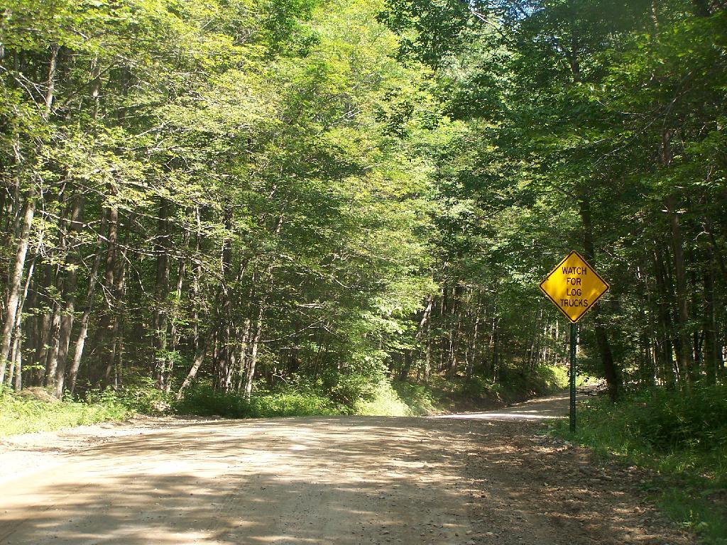
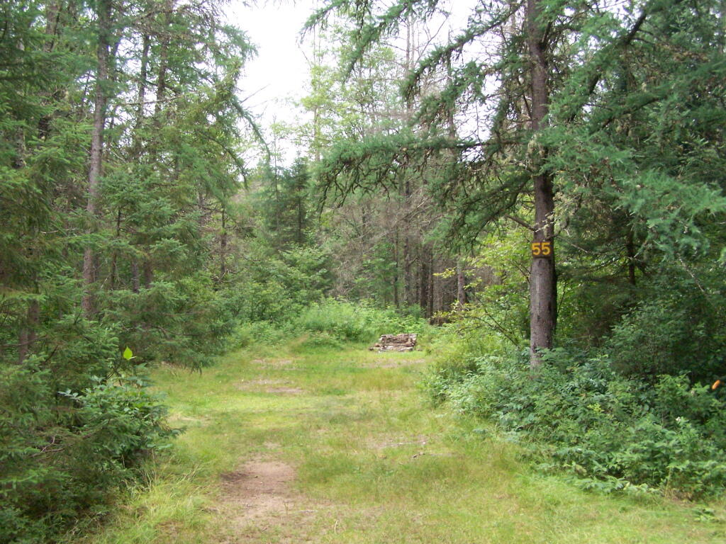
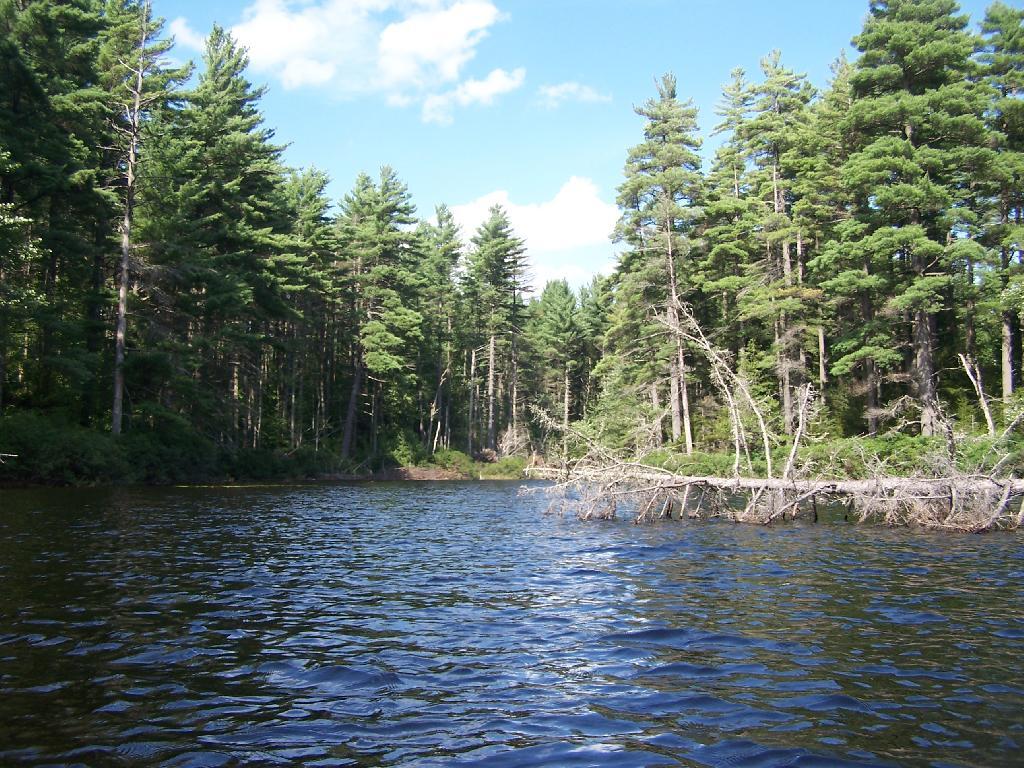
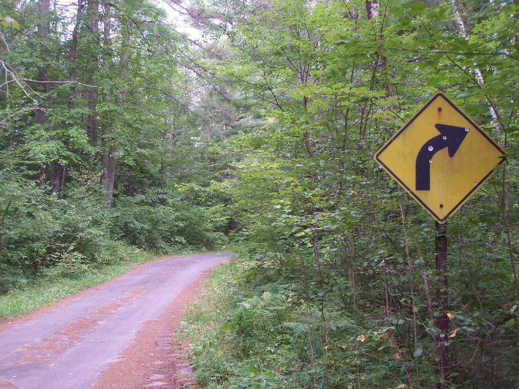
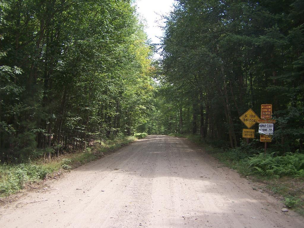
Perkins Clearing Road, an easement road in Perkins Clearing, owned by International Paper/Lyme Adirondack Timberlands, LLC

Many conservation easements:

  • Are actively logged by timber companies.
  • Allow the public to hike on and explore.
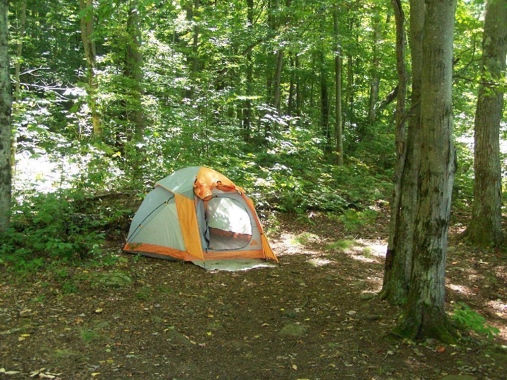
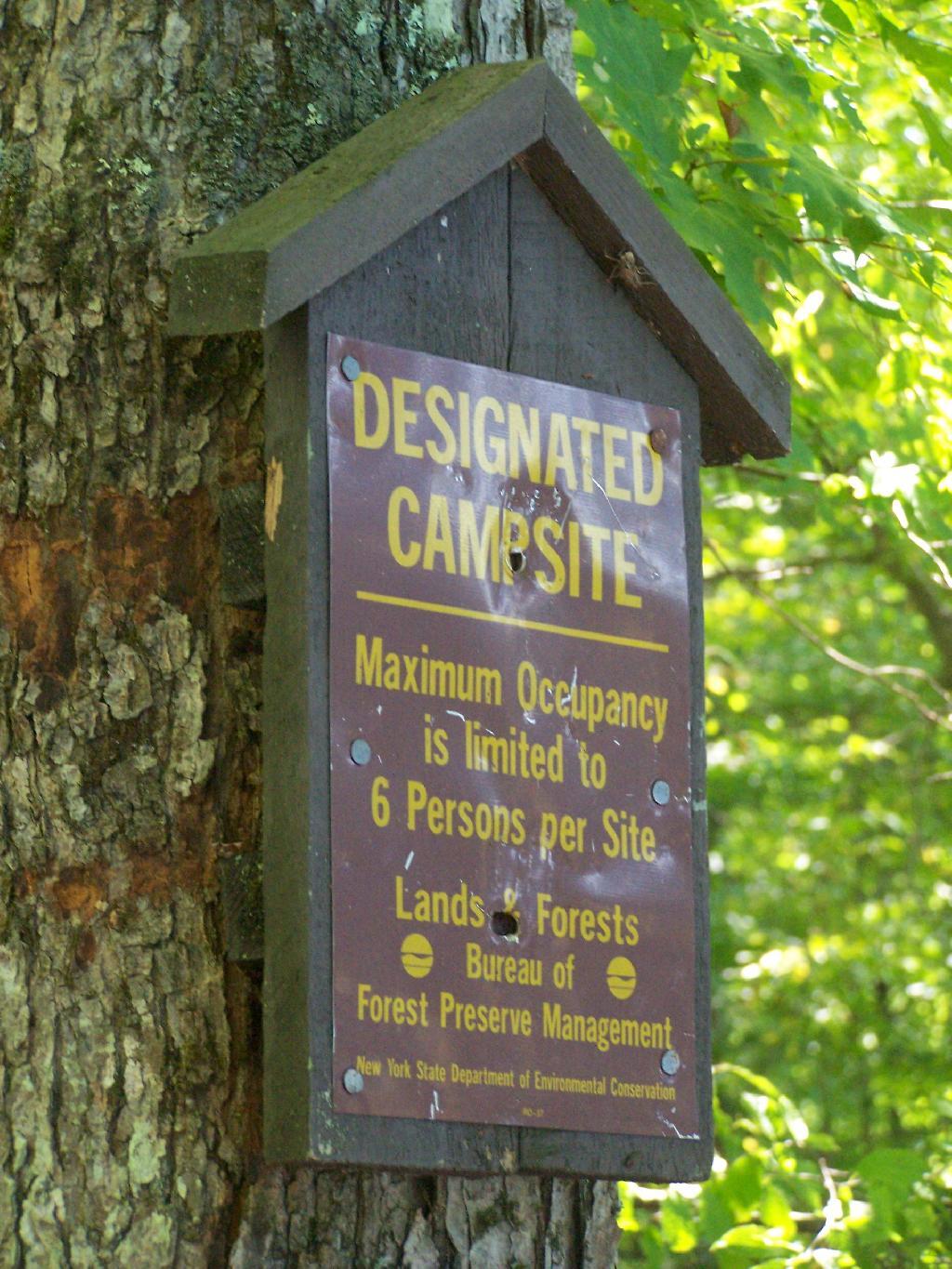
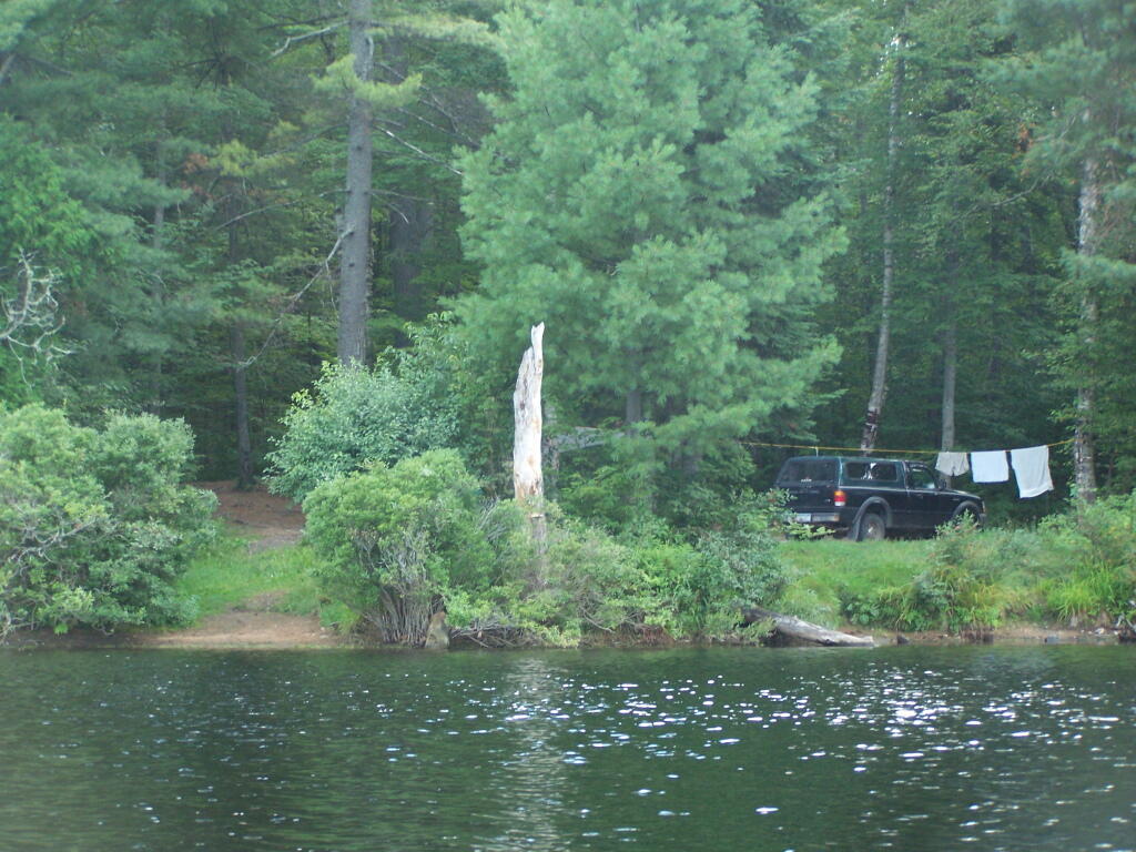
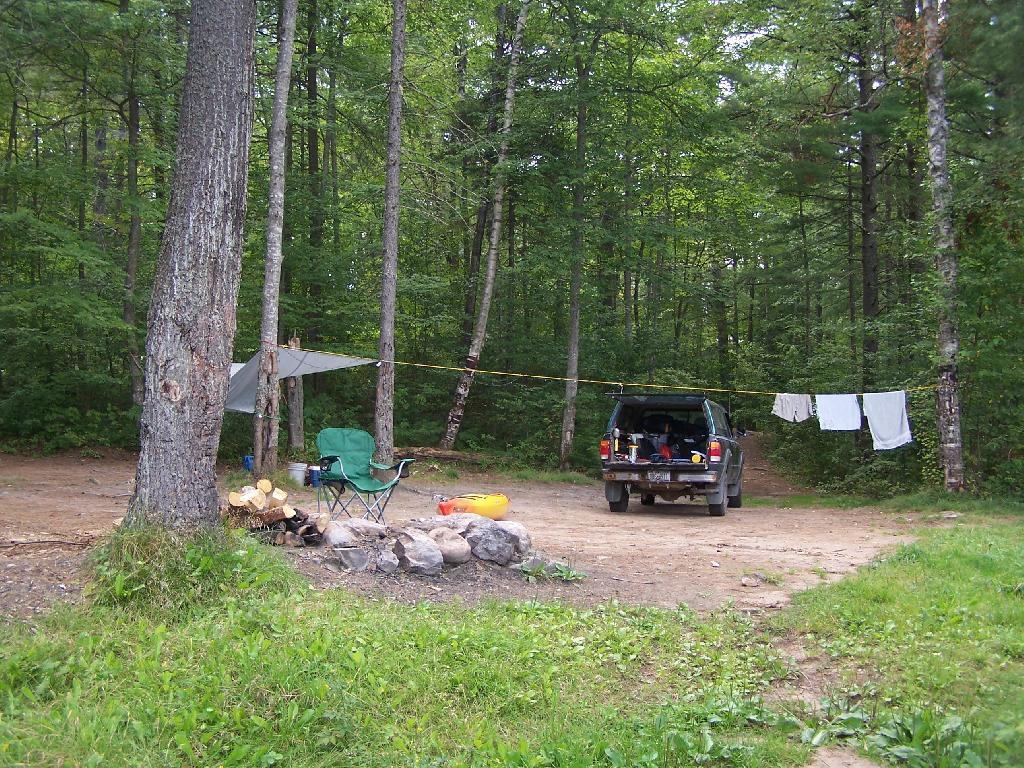
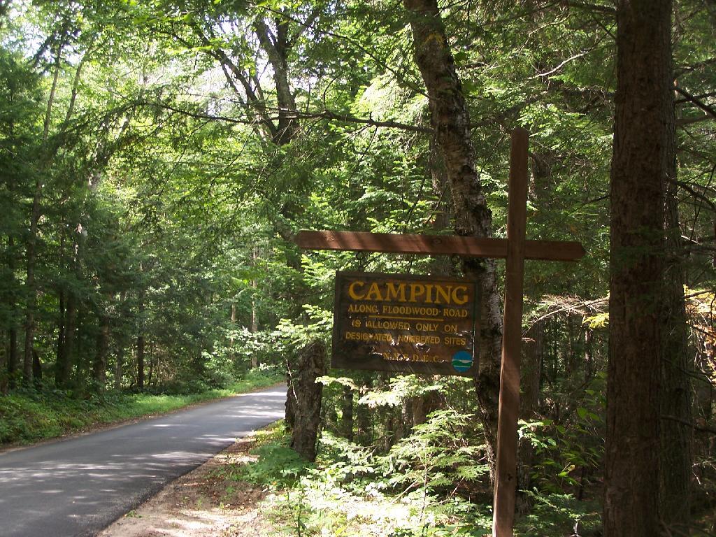
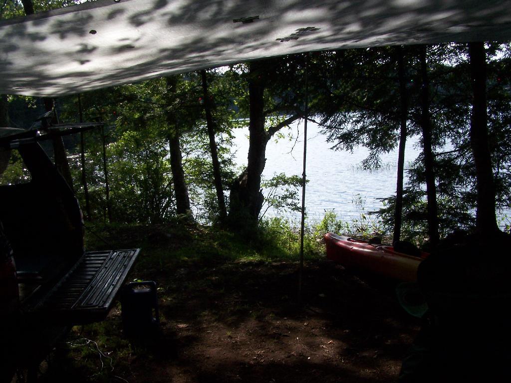
  • Have road-side campsites for people to camp.
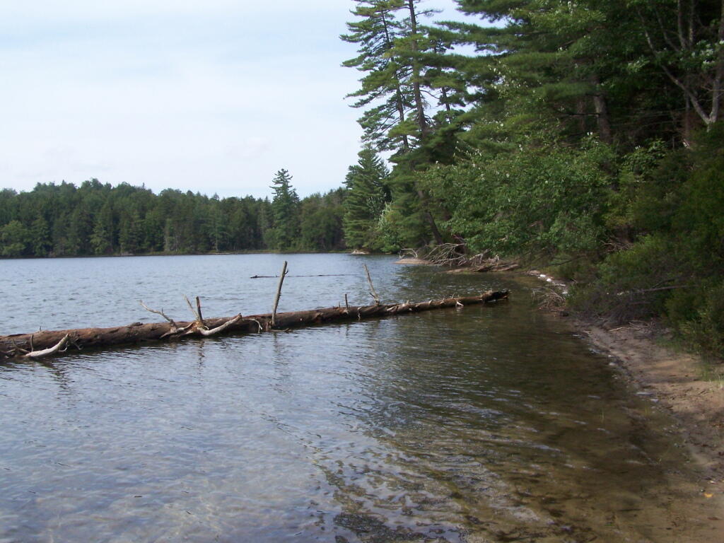
  • Allow hunting, fishing, paddling, and public enjoyment.
  • Give timber companies lower taxes and better protection of their lands by regular ranger patrols.
  • High quality roads maintained by a unique partnership between Timber Companies and the State.

Outside of the Adirondack Park, most State Forests are regularly harvested and actively managed for timber resources by the state. Inside the Adirondack and Catskill Parks, the state constitution specifically prohibits the taking and sale of timber on public lands. Therefore, if the state wants to keep using existing timber lands for continued timber harvest, the only way they can do it is keep the timber lands privately owned, but managed by state for a public purposes of conservation and recreation alike.

South from Pillsbury

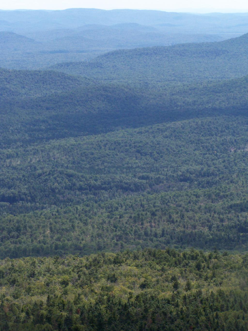
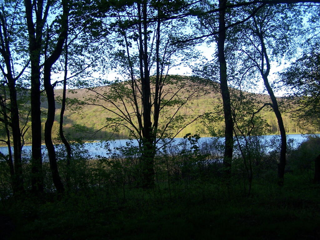
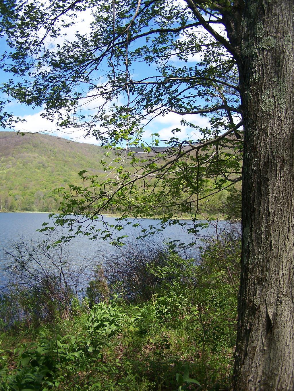
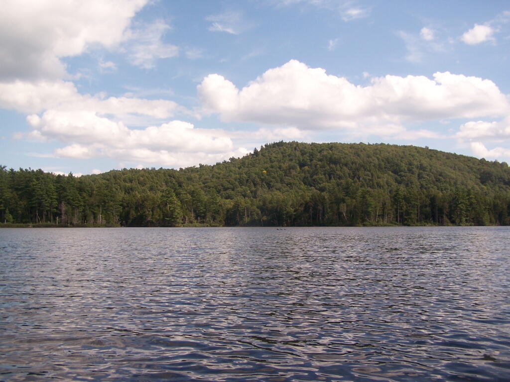
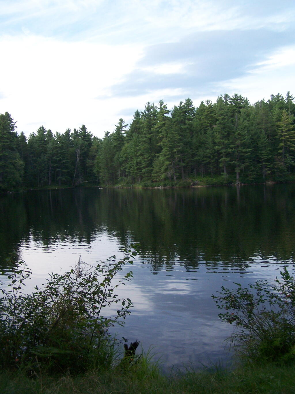
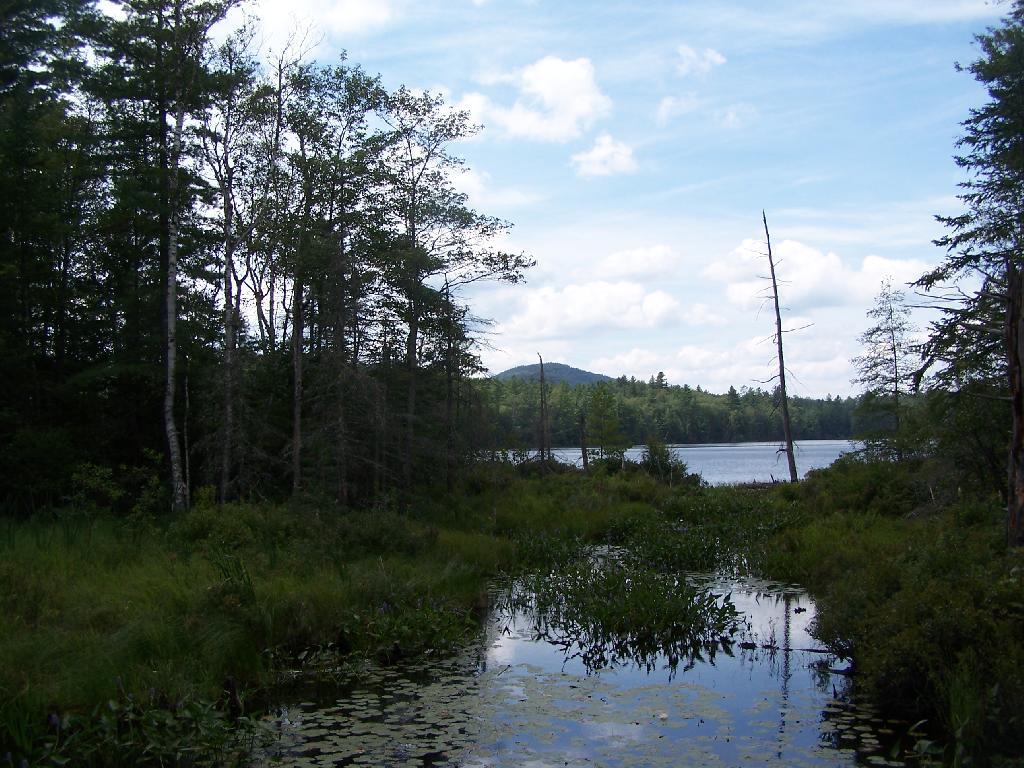
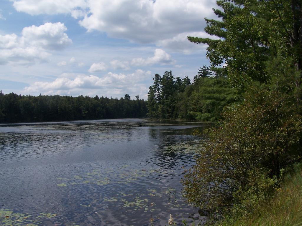
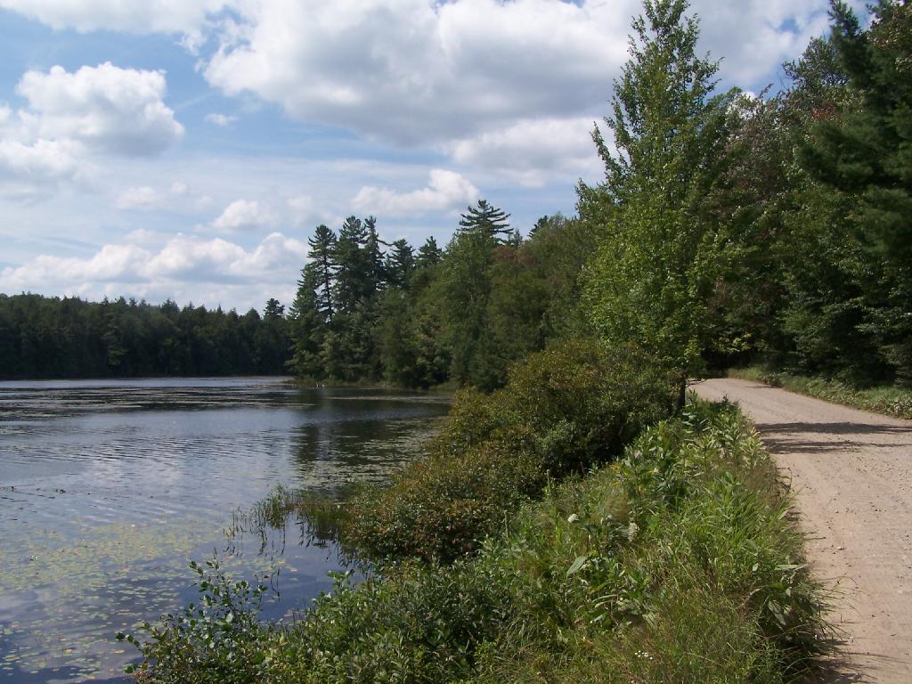
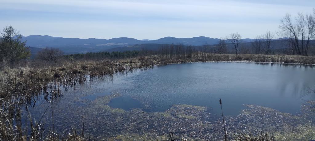
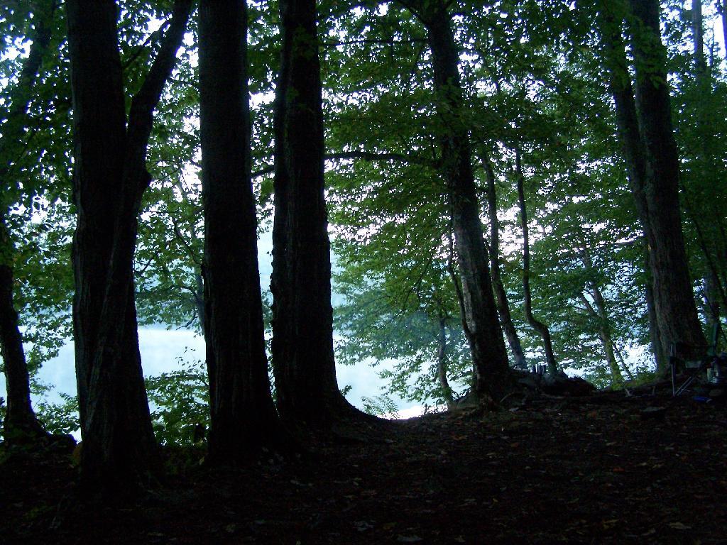
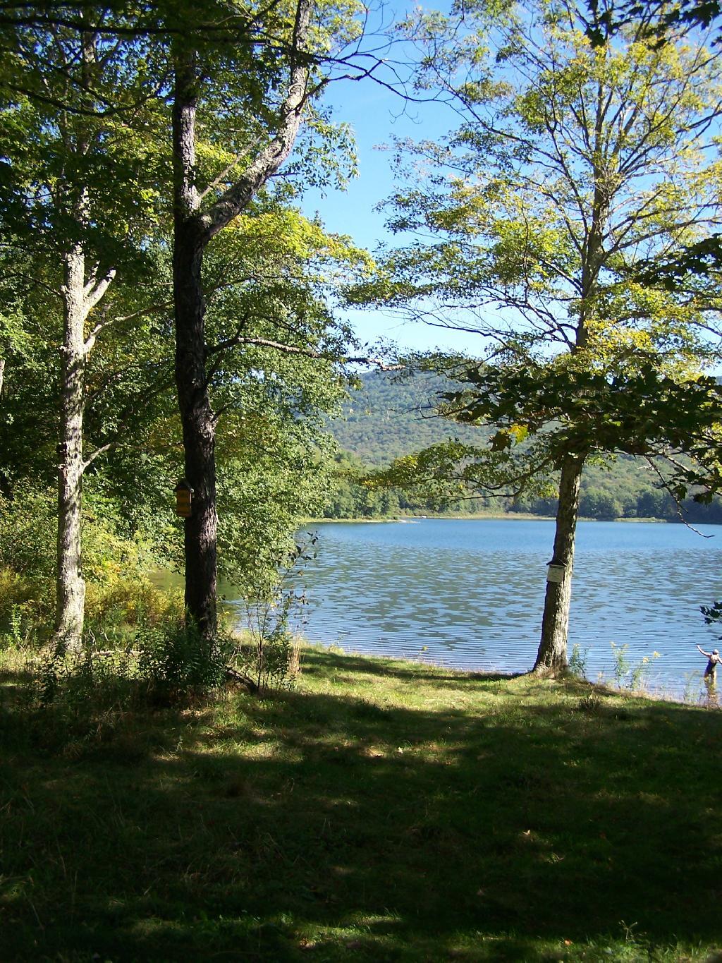
Looking at the Perkins Clearing Easement from Pillsbury Mountain.

One can argue that the forever wild provisions of the state consitution are outmoded, a byproduct of the degregation of our forest lands from the mispratices of the industrial revolution. Many of the early timber harvests tragically did not consider the impact of errosion or inappropiate clear cuts in sensitive areas. Some areas should have been off limits, but at the time our state nor did industry follow good practices. We are now stuck with the state constitution we have.

Selective Logged Plot

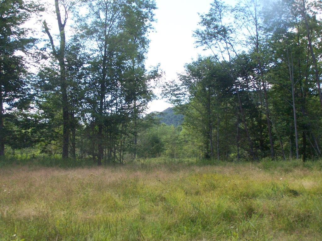
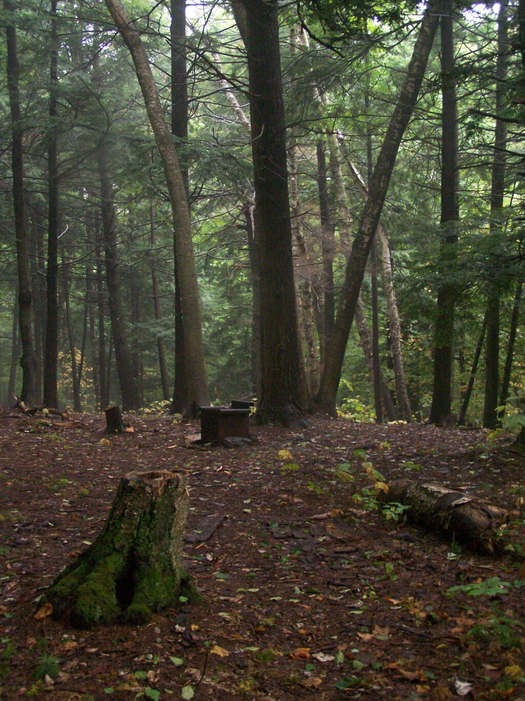
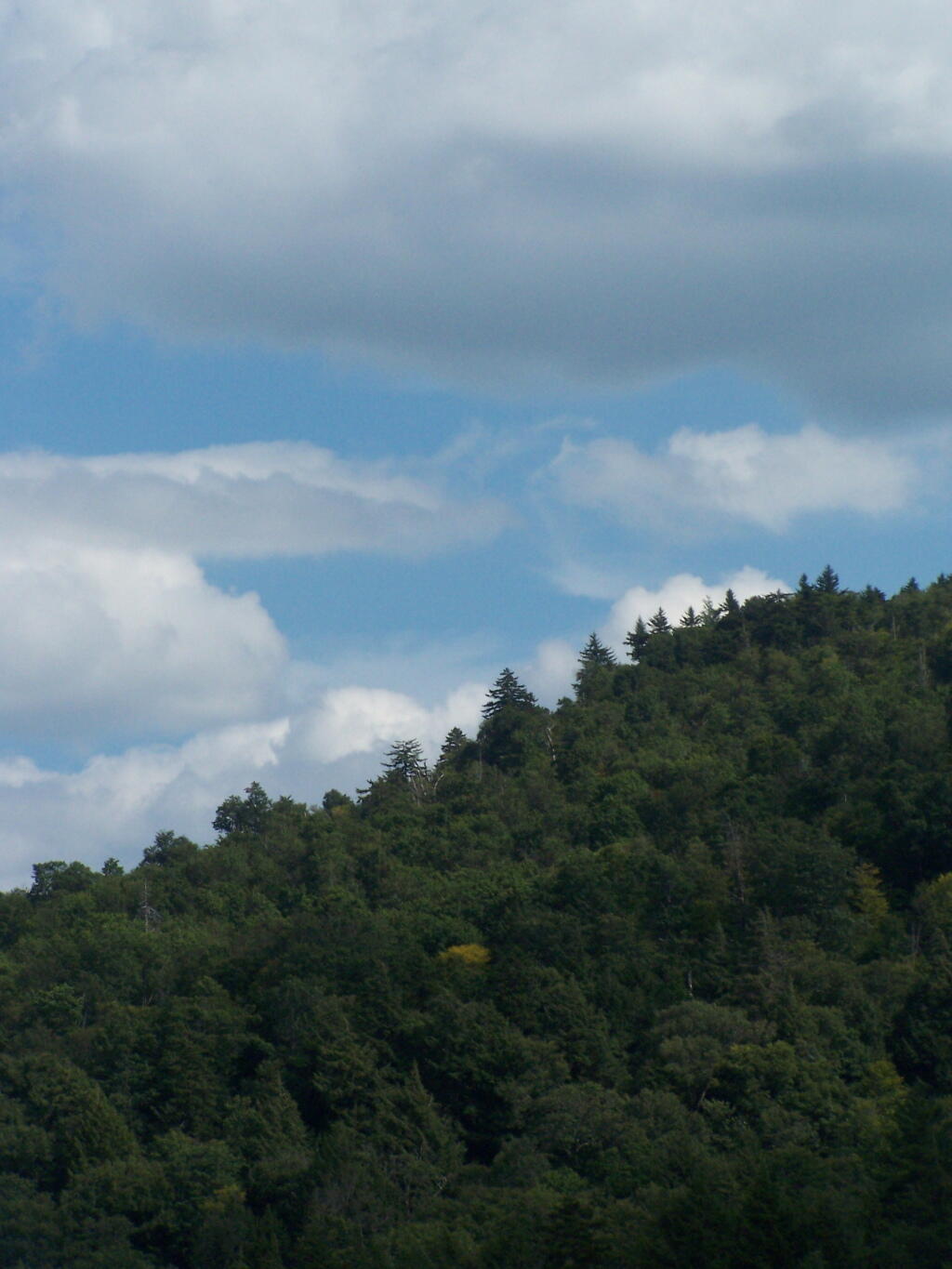
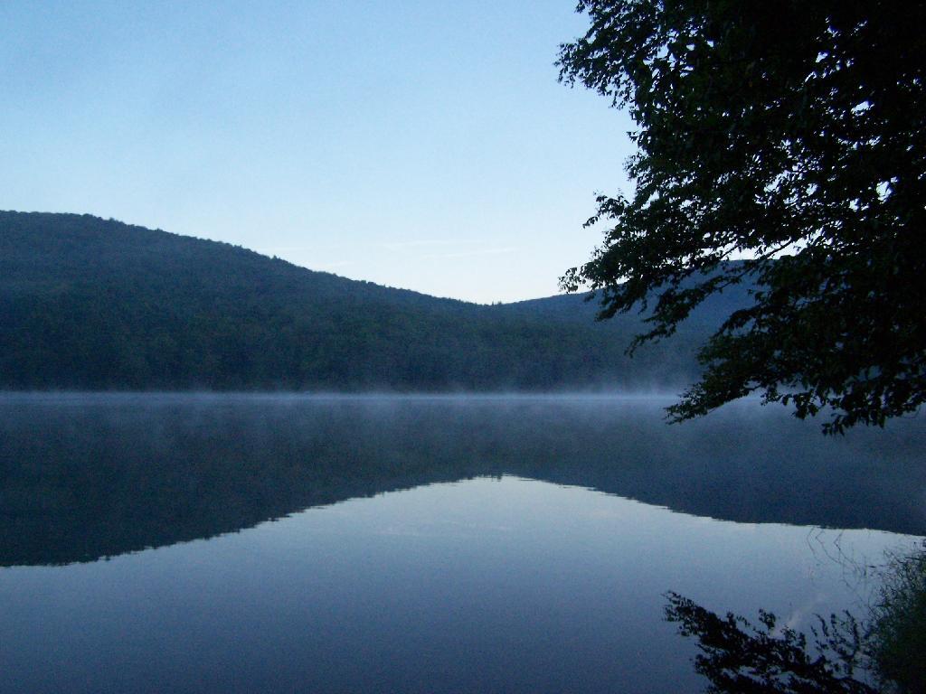
A selectively logged parcel, made into several meadows that will eventually revert back to hardwood forest and become a future timber crop.

It is good to see our state is protecting important pieces of timber land, yet also allowing economic development associated with responsible timber practices and recreational use of these parcels. Yet, it does seem like an end run of constitution’s forever wild doctrine, to have essentially public lands (although on paper privately owned), and allow timbering on them by private companies.

Cleaning Up Site

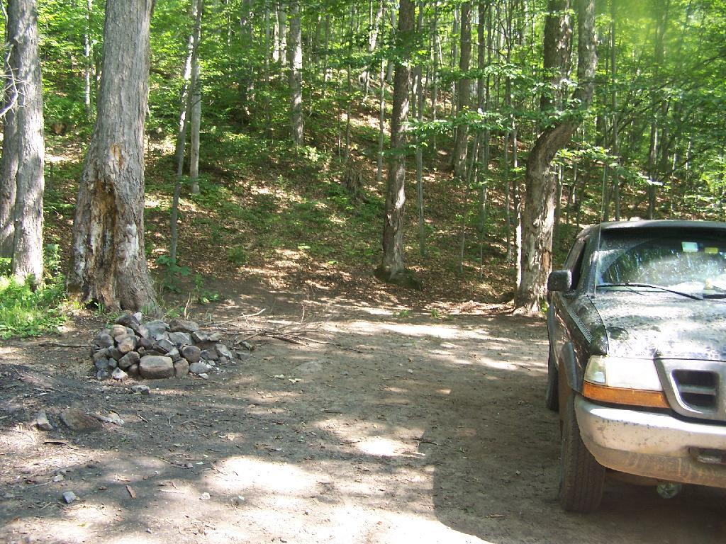
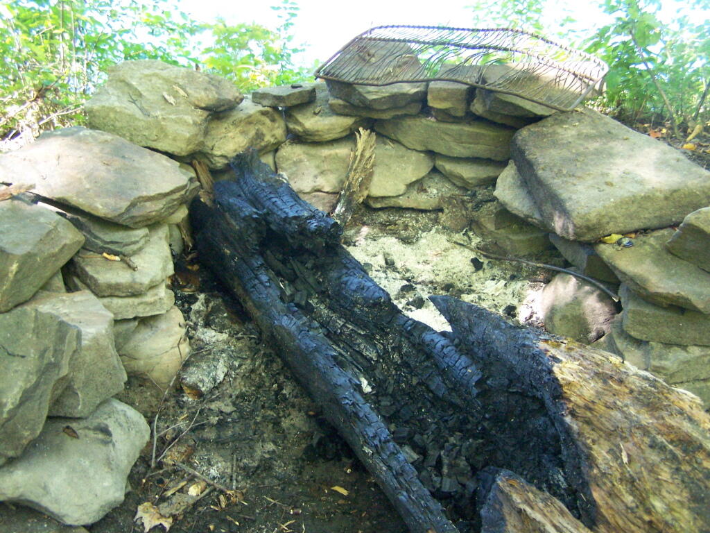
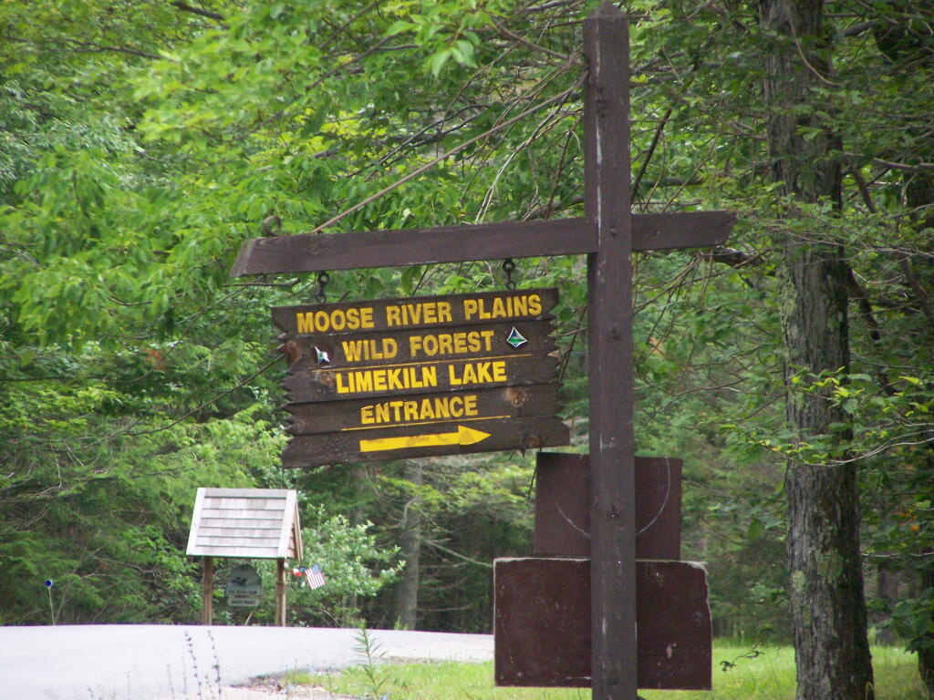
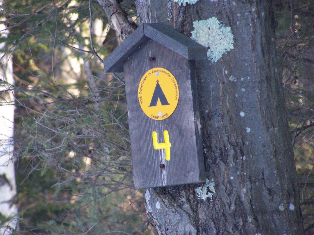
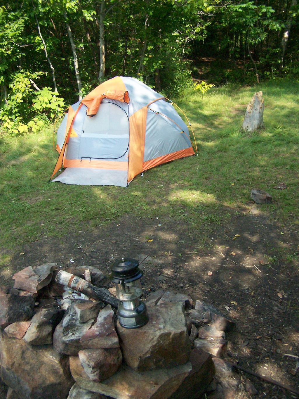
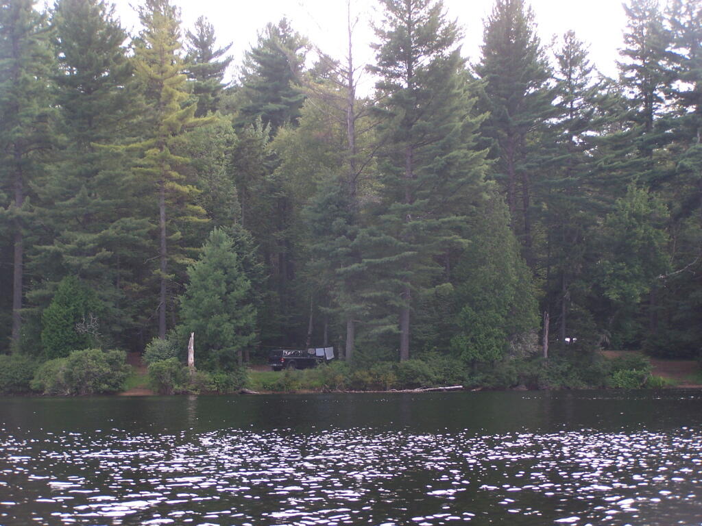
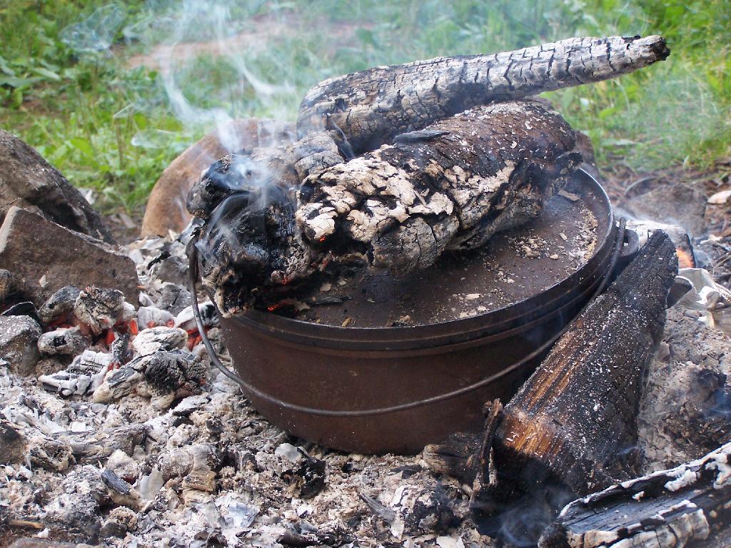
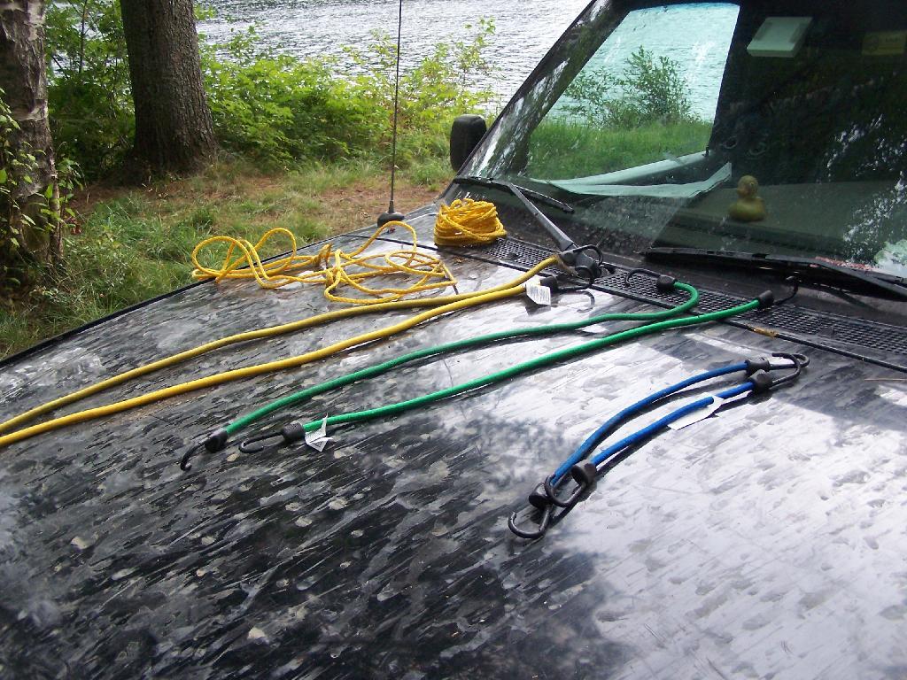
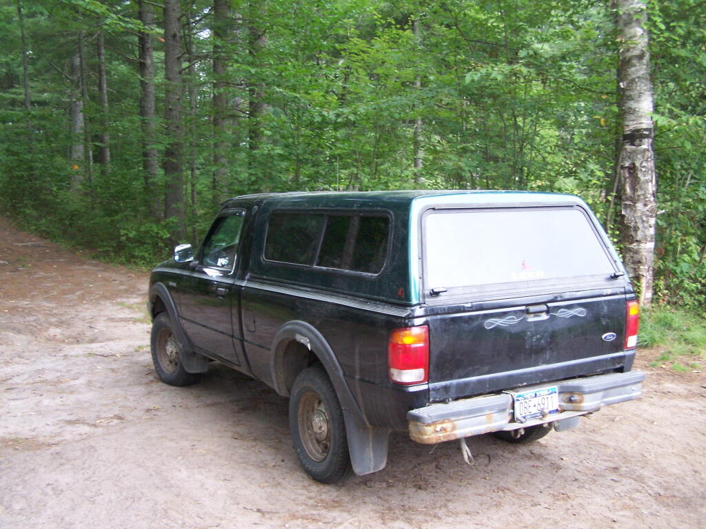
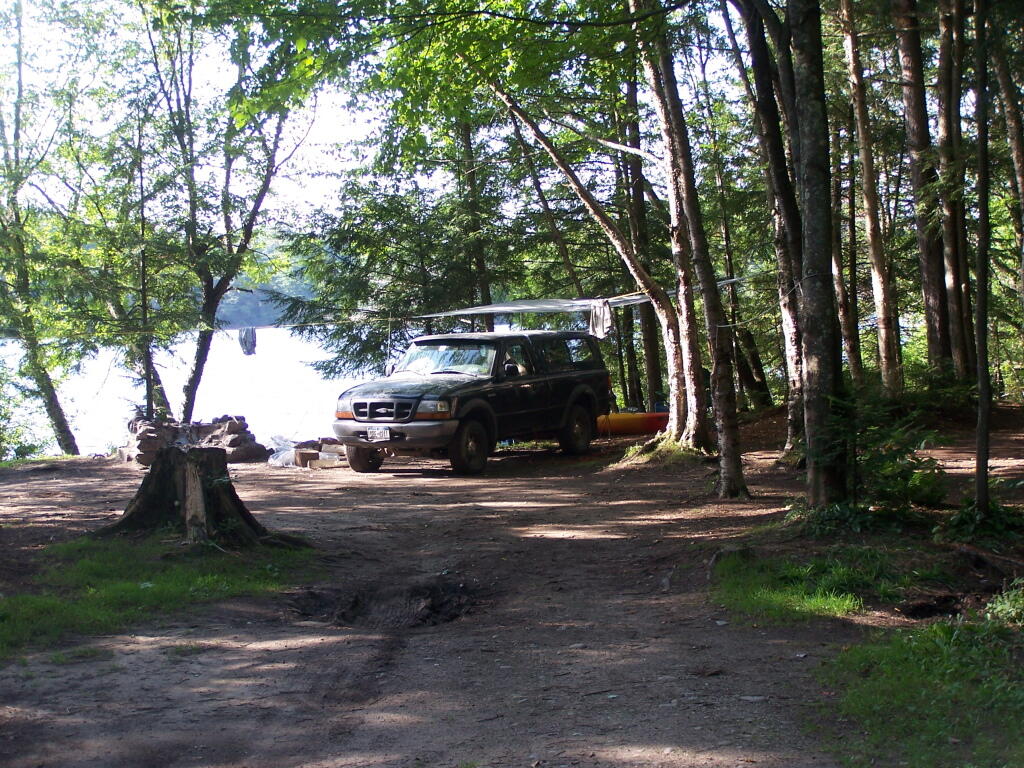
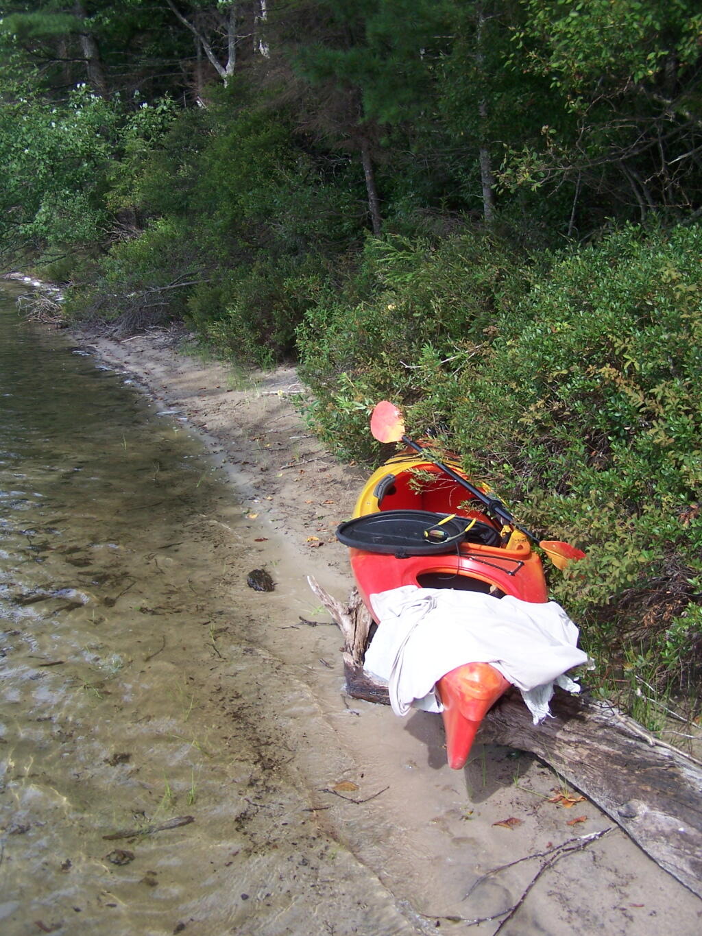
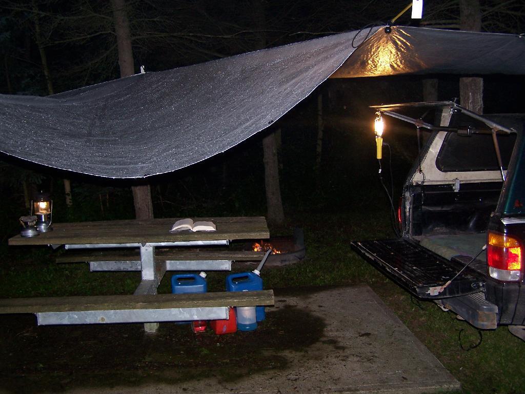
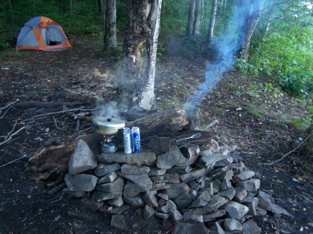
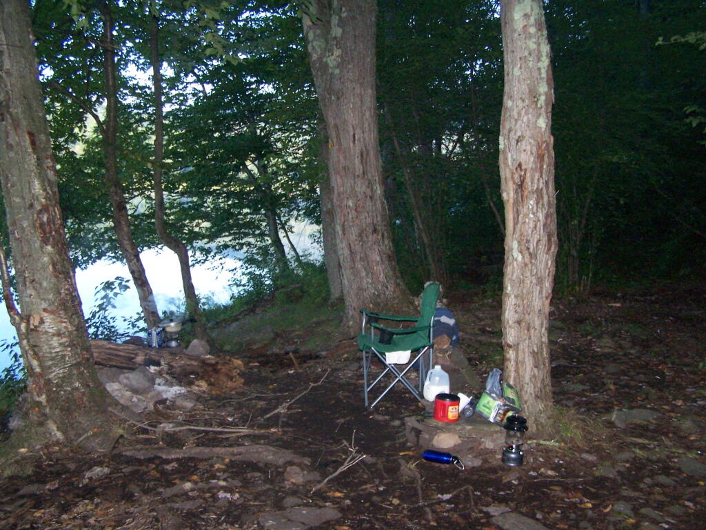
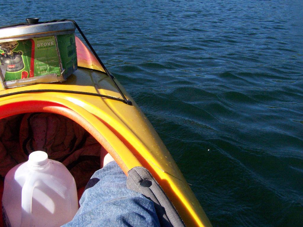
Designated Road Campsite inside of the Perkins Clearing.

It is unlikely our consitution will be amended for true public ownership of working timber parcels in Adirondacks. The high level of protection for true public lands in the Adirondack Park will continue, and while Conservation Easements might allow an end run around the consitution, they do benefit all parties — those who want the jobs and profit from logging and those who want more public lands for recreation.

Lighting & Appliances

This is third in a series. First read about generating power using the inverter.

Lighting System Wiring.

For wiring in my system, I use two sets of surge strips. One is plugged in the cab of the truck, directly to the inverter. This is used for charger and cords I want in the cab. When parked and camping, I then use a 12 foot extension cord / lead lamp cord, to run power out to the bed. There is another surge strip plugged in there. From there, is were I plug in all the appliances to the bed, along with the two other lead lamps that I use when camping.

Hillcross Farm Parcel now posted as State Forest

Compact Florescent:
My Set Up & What You Need to Know.

Whether or not you believe in global warming or the price of your utility bill, compact fluorescent are a technology you want to embrace when truck camping. Truck battery technology — whether or not you have a deep cycle or starting battery is limited in the amount of current it can retrieve, prior to requiring you to start up the truck and generate more current.

Low-cost, high-efficiency compact florescent lighting (CFL) is the most important invention when it comes to truck camping. You can get a lot of light on your campsite using CFL technology, with minimal battery drain. For example conventional incandescent bulbs versus florescent lighting:

  • 40 watt incandescent = 9 watt florescent
  • (50 watt incandescent estimated output of camp lantern)
  • 60 watt incandescent = 12 watt florescent
  • 100 watt incandescent = 24 watt florescent

You can therefore, produce a lot of light using compact florescent lamps compared to camp lanterns. You can have the best lit campsite around town! I swear any time I camp at Moose River Plains, people wonder why my campsite has so much light.

Reading in the Rain

I typically use two lead lamps I bought at home depot for $9 with 24 watt florescent bulbs. The fixtures are rated for 75 watt incandescent bulbs, but with the cooler and lower energy consuming florescent bulbs, you can get more light output out of these fixtures then you normally would. Moreover, your saving your battery by the lower electricity consumption.

For inside the truck cap, I use a desk/reading lamp outfitted with a 9-watt compact florescent light. I have used bigger lamps, but under in the intimate space of the truck cap, you don’t need more light for reading other activities. Why waste energy, that you can conserve, and avoid having to start the pickup on up?

Camp Cowboy

Other Electrical Appliances.

When I’m camping, I always bring a portable (desk) fan, a clock radio/alarm clock. I also often bring my laptop, charger, along with chargers for things like my mp3 player, cell phone, and portable weather radio. I could also bring more devices, and indeed I have plenty of current with an 800 watt inverter (remember 742 watts = 1 horsepower) to power almost anything within reason I could bring camping.

Afternoon

The Truck Radio:
One Other Appliance Not to Forget.

While the truck’s radio is built into the truck, it can be a great source of entertainment. Just roll down the windows, and crank up the tunes up! Be aware however that the radio uses a lot of electricity compared many of the appliances you might plug into your inverter.

ou might find it more energy efficient (meaning less idling the truck), if you get a portable boombox that you can plug into the truck. Many use a lot less wattage then a conventional car radio, and you can direct the sound where you want.

Camping at Big Pond

Big Pond is one of the two larger ponds in the Catskills accessible to the public. Located in the Western Catskills, near Alder Pond, it has eight paddle in or hike in tent sites, and some pretty views. I spent the night camping up there on August 27.

Night is Creeping Up on Me. I didn’t realize how quickly it got late at Big Pond, and I had even started dinner. To make matters worst, my white-gas lantern wouldn’t start, so I had to do everything by flash light.

Night is Creeping Up on Me

Dark Night Before the Moonrose. All you can see is by the light of the campfire. I didn’t have a lantern, because it refused to start.

drought-status-ny [Expires September 1 2023]

Waking Up at Big Pond. Looking out the window of tent prior to dawn, with a little smoke from the fire still smoldering, and lots of fog.

Waking Up at Big Pond

Pond Prior to Sunrise. The fog rises above the pond. It looks perfect for taking photos, so I decide to hop in the kayak, and go for a paddle.

Pond Prior to Sunrise

Campsite. Yes, the beer cans are empty, and I am using that pot to boil water for coffee, because I left the coffee pot in the truck. I doesn’t matter much because I use a coffee press to make the actual coffee.

Campsite

Firepit. This is while I’m making coffee and getting ready for the day.

Firepit

Paddling Gear Back. With all the camping gear in the kayak, or most of it, including the stove and pot top on the deck. The kayak rode well with all the gear.

Paddling Gear Back

Big Pond from Parking Area. It certainly was quite pretty out there, and a great unguarded swimming beach that was packed with people.

Big Pond from Parking Area

Bear Bag. Actually it was a peanut can, with cookies and other things. And despite the bear coming through, he left my site alone, and didn’t even try to get the bear bag that was about 12-13 feet off the ground, suspended from a limb, and 10 feet plus from the tree where it hung.

Untitled [Expires October 11 2024]

Tent. Yes, occasionally I will sleep in a tent. This actually is the second time I’ve slept in a tent this year. One other time I slept in a lean-to and the rest has been truck camping.

Tent

Designated Campsite. This is one of eight designated campsites around Big Pond. They are free to use, but are limited to 6 people, and you can only stay at one site for 3 nights without a permit.

Designated Campsite

Looking Up at the Ash Trees. I was looking up at all the ash trees around the lake, and realizing that within 20-30 years they will all be gone. The maples will most likely replace them, but they also risk the Asian Longhorn Beetle.

Looking Up at the Ash Trees

Parked at Campsite. It was a pretty blue lake in the morning.

Parked at Campsite

Finally Put That Smoldering Log Out. Remind me again, never to use a big punky old log like that in a campfire. It took a ton of water and rubbing the coals to get them to snuff out.

Finally Put That Smoldering Log Out

Blue and Green. I just liked this view from the campsite.

Blue and Green

Why Does the DEC Hide Camping Areas?

One of the things that I’ve puzzled over for for some time, is the practice of hiding officially designated roadside camp sites and primative camping areas from their website and from offical signage on primary roads.

Campsite 55

The DEC never puts a sign up along a road saying “Camping Area”, although they do often designate individual sites along the roads with smaller markers. It’s always signed as “C.C. Dam Assocation”, “Moose River Plains Wild Forest”, “Mountain Pond Fishing Area” with no information on camping activities, despite having dozens if not hundreds of designated road-side camping sites.

Brasher Falls Sign

Limekiln Entrance Sign

It’s not like people can’t figure out where primative campsites are located by searching the Internet for other web sites, driving around on state truck trails, checking topographic maps, studying Unit Management Plans, and talking to people who have been their previously. Things are not really hidden, it’s that DEC just doesn’t make it obvious.

Campsite 4

To make matters worst, the DEC varies greatly in their policy towards putting campsites on their online interactive mapper. Some camping areas are not included in their interactive mapper at all, while other are in part or whole. Some designated camping areas on the mapper, require a free permit from the DEC, although you would never know it from the website.

Adirondack Park Land Cover

The DEC also does not provide public access to the shape files used to draw the data in the online interactive mapper. Despite one’s repeated attempts to contact the Department for acess to that shapefile, the GIS director has never responded. If you wanted that incomplete shapefile, you would probably have to FOIL the agency, and no guarantees that the department would provide access.

Tent

There are probably a couple of rationals for this disorganized policy towards primative camping:

  • Discourage over use by keeping camping areas known to a limited number of people who’ve spent the time discovering them on their own
  • Discourage ‘casual’ use by youth who seek simply places for partying and generally making a mess with beer cans and other unburnable trash, damage to vegetation, and generally getting themselves in trouble
  • Competition from State-owned DEC Campgrounds, many of which are money makers for the DEC and help fund other activities of the department
  • Disorganization in the DEC regional offices, which may not sychronize their data with DEC Headquarters in Albany.
  • Regional DEC Offices desire not to share with the DEC in Albany, a list of campsites that do not comply with wild forest guidelines due to spacing or frontage issues.
  • Regional DEC Offices would prefer people contact the forest rangers directly about camping opportunities, so they can better control use of their lands and maintain a kind of fiefdom over them.

Reading in the Rain

Regardless, it would be nice if the Department of Environmental Conservation, in the form of it’s regional and state offices, would be honest with the public about camping opporunties across the state. The public owns the land, and the public has the right to know about how it can be used, without directly having to contact individual forest rangers, which may or may not be honest or helpful.

Kayaking Mountain Pond, Aug 14

Mountain Pond is located about 2 miles North of Paul Smiths College on an old routing of NY 30. It is a mile long, has catch and release fishing, and good place for some solitude and flat water paddling. It is in Debar Mountain Wild Forest, with 2 large campsites on the pond, 3 smaller ones on or near the pond, and 10 other along Mountain Pond Road. It’s little used due to it’s remote location, and easy to even get one of the large sites on the lake on the weekends.

Paddling. Just paddling along Mountain Pond in the kayak.

Paddling

Tall Pine. Lining the edge of Mountain Pond, as I ride around in the kayak.

Tall Pine

Towards Jenkins Mountain. The last hill that makes up Jenkins Mountain is where Mountain Pond gets it’s name from.

Towards Jenkins Mountain

From Southern End of Mountain Pond. This is looking from Campsite 1 at the Southern End of Mountain Pond, looking North. Old NY 30 winds right along the shore of NY 30, the New Routing is about a 1/2 mile away for NY 30.

From Southern End of Mountain Pond

Campsite No 1. This is campsite No 1 at Mountain Pond. It was never used on the Saturday Night I was there, but it looks nice, if not a bit small.

Campsite No. 2

View from Campsite 1. Here my kayak is parked at Campsite 1, where I got out for a stretch. Looking south at this rather spectacular looking lake on a great day. The lake winds back and forth, for about a mile.

View from Campsite in Evening

Along Edge of Pond. This is looking at the eastern, more mountainess shore of Mountain Pond.

Along Edge of Alder Pond

Central Part of Lake. On the left is the western shore, by where NY 30 runs. It is a beautiful, if not humongous lake with lots of shoreline and bys.

Central Part of Lake

Many Downed Trees. There where many downed trees that had fallen into the lake, from the often steep eastern edge of mountain pond. Campsites are on the other side of the lake, and they all where in good shape.

Many Downed Trees

Northeastern Bay. Here is an Northeastern Bay at Mountain Pond. Not as pretty as farther south with the steep rock ledges against the lake, but still a classic Adirondack Lake.

Northeastern Bay

Loons. While this picture is somewhat in shadow, there where loons on Mountain Pond. They were not all that noisy, compared to Polliwog Pond or especially Mason Pond, where they howled quite bit more in the evening.

Mountain. This is the Mountain at Mountain Pond. It’s not much more then a hill, because Jenkins Mountain has largely petered out before reaching here, but it’s still a lot higher then surrounding elevation.

Mountain

Campsites No 4 and No 5. As I had previously noted, Campsites 4 and 5 where pretty close to one an another. Nobody ended up staying at No 5, although somebody parked there for a while to go paddling.

Music

Treeline. This is the tree line towards the top of Mountain Pond, on this rather beautiful day for sure.

 Treeline

Campsite No 4. This was taken from the lake. It was great to be right on the lake, at this very remote Adirondack Pond.

Campsite No 4

Here is a map of the pond.

Camping at Mountain Pond, Aug 14

Mountain Pond is located about 2 miles North of Paul Smiths College on an old routing of NY 30. It is in Debar Mountain Wild Forest, with 2 large campsites on the pond, 3 smaller ones on or near the pond, and 10 other along Mountain Pond Road. It’s little used due to it’s remote location, and easy to even get one of the large sites on the lake on the weekends.

Old NY 30 Signs. Along Mountain Pond Road/Old NY 30, you can see the road signs dating back to the 1960s or maybe even earlier, prior to modern alignment of NY 30.

Old NY 30 Signs

Campsite 4. Here is the view of Campsite 4 from Old NY 30/Mountain View Road and down by the lake. A nice campsite, big, roomy, and private, although the much smaller Campsites 5 is fairly close.

Campsite No 4

Making Up Blueberry Cake Mix. Here I’m the Blueberry Cake Mix, and getting ready to add the Blueberries I picked up at Moose River Plains. Should be real good.

Making Up Blueberry Cake Mix

Baking in Dutch Oven. That sure smells good, doesn’t it. I put the pan that the mix was in dutch oven up on rocks, so it didn’t burn the bottom of the cake, and made sure to add adequate coals to the top to keep things cooking evenly.

Baking in Dutch Oven

Mountain Pond in the Evening.

Mountain Pond in the Evening

First Rays of Sunshine. I purposefully picked this campsite, and parked my truck so that the first rays of the sun, would come through the truck cap, and wake me up around the crack of down (around 6:35 AM this time of year).

First Rays of Sunshine

Getting Out and Stretch. That’s my rig with all the messy camping gear and sleeping stuff around, as I first awake in the morning.

Getting Out and Stretch

Sunshine. Sparkling on the pond, first thing in the morning. Real purty.

Sunshine

Ropes. These are the ropes and bungee cords I use to secure the kayak on the roof. Seems to work well on the kayak blocks.

Ropes

Gear All Packed Up. Now just to get the kayak up on the roof.

Gear All Packed Up

Here is a map of the camping area.

Camping at Polliwog Pond, Aug 13

Fish Creek Ponds is a series of largely connected ponds in Northern Adirondacks, North of Tupper Lake. On Floodwood Road, there are series of 15 free drive in campsites one can camp at, with about half of them located on various lakes along Floodwood Road. On Friday night, August 13, I camped out at Poliwog Pond, and then paddled around it a bit in the evening, and then again in the morning. I also drove out around Floodwood Road, to look at the ponds and other campsites along it.

Camping Only At Designated Sites. This sign is found along the beginning of Floodwood Road, prior to the blacktop running out. There are 15 sites, that appear not to be fully used, on this lake.

Camping Only At Designated Sites

Campsite on Polliwog Pond that I stayed at on August 13th. This site would be truly the most perfect in the world, except for being so close to another one and the fact that the beach area next to the site was kind of swampy and not nice.

Campsite on Polliwog Pond

Under the Tarp. While when I was up at Poliwog Pond I didn’t really need the tarp, I set up a tarp. It was a beautiful day out for sure down here, right on the pond. The tarp was easy to set up, with the plentiful trees to make it easy to tie up.

Under the Tarp

Laying Back in Truck Cap. Ah, mornings. Lazy times. But then again, I got to paddle around the lake, get some pictures, pack up and head north. So be it.

Laying Back in Truck Cap

Private Bay for Swimming. Once I started to get ready, I put on my swimming trunks, paddled across the lake, around an peninsula, to a very private bay. I took a “bath” using the teapot, soap, and shampoo on the bank, washed the soap off, then went swimming in my own little private beach. Nobody else was around! It was wonderful.

Private Bay for Swimming

Perfect Area for Swimming. The downed tree blocked the waves, it was sandy beach. I really liked this area a lot.

Perfect Area for Swimming

Across Poliwog Pond. It’s a remarkably hazy summer day. This is from the south bay of the pond, where I was swimming and getting cleaned up in the morning.

Across Poliwog Pond

Loon. Throughout the night at Poliwog Pond, there was loon calling back and forth. This is located on the western bay of Poliwog Pond.

Loon

Western Bay of Poliwog Pond. There was somebody camping up on the banks, but other then that it was relatively quiet.

Western Bay of Poliwog Pond

Long Pond Entrance. While I didn’t get a chance to haul my kayak into Long Pond, and do some paddling around there, this is the access point fo the Saint Regis Canoe area. It looked very popular.

Long Pond Entrance

Swamp Across from East Pond. This was located directly across East Pond on Floodwood Road.

Swamp Across from East Pond

East Pond. On Floodwood Road. Looked quite pretty. There is one drive-in campsite in here, along with an accessible boat dock.

East Pond

Middle Pond. On Floodwood Pond road. There also is a large drive-in campsite on Middle Pond.

Middle Pond

Floodwood Road. There are 15 drive in campsites on this very dusty dirt road, that is heavily traveled, mostly by people heading to the Boy Scout Camp and the Saint Regis Canoe Area. This along Middle Pond.

Floodwood Road

Floodwood Road at Franklin County. This is where you cross from being in very remote Town of Altamont to Santa Clara. Pretty area for sure.

Floodwood Road at Franklin County

Here is a map of Floodwood Road, Polliwog Pond, and surrounding ponds.


View Larger Map