Search Results for: photo campsite 2 2

Walking Across Wakley Dam on a Full Moon

One thing that everybody should experience at least once in their lifetime, is to walk across Wakley Dam at a Full Moon. Wakley Dam, located at the Cedar River Flow, crosses the river and provides access to 5 of the primative campsites at Cedar River Flow portion of Moose River Plains.

Moonlight on Cedar River Flow

When you across the moonlit lake, across the lake towards Little Moose Mountain in the distance, and towards Sturges Hills, you’ll take in a deep breath, as you try to comphrend what moonlit beauty you are looking at. You’ll look up towards the sky, with millions of stars, uncompromised by distance city lights. There are no cities nearby, indeed, the nearest town is the Hamlet of Indian Lake, 12 miles away on a rough dirt road.

Campfire Across the Lake

… Cedar River Flow is amazing in the day time.
It’s even more amazing at night …

Kayaking Mason Lake, August 11

Mason Lake is located in the Adirondacks just off NY 30. It has primative camping, I camped their last night (August 10th), and also camped there on July 31.

NY 30

It’s a two hour drive from Albany, so it’s not as far north as Moose River Plains, and can be done on a Friday night. It’s fairy popular, but there is usually some of the 6 out of 12 non-lake side campsites are always avaliable, and it’s not like it’s ever crowded on the lake in a boat.

Pine Trees Reflect On Mason Lake

I paddled down to the southern end of the lake, with a stream exiting Mason Lake. This part of the Jessup River is unpassable by kayak due to many trees crossing on it.

Stream Exiting Mason Lake

It was a beautiful day at Mason Lake with puffy clouds above.

Clouds and Marsh at Mason Lake

Thru Swampy End of Mason Lake. You had to watch out for trees on the bottom that you could get hung up on.

Thru Swampy End of Mason Lake

Pond Lilly

Jessup River Road. As seen from the southern end of Mason Lake paddling around.

Jessup River Road

Great Blue Heron, standing tall on an Island on Mason Lake.

Great Blue Heron

Another Island on Mason Lake

Snowy Mountain. As seen from the middle of Mason Lake.

Snowy Mountain

Lower Blue Ridge. As seen from Mason Pond. Beyond this ridge is Moose River Plains and Cedar River Flow.

Lower Blue Ridge

Kayak Parked at the Mason Lake Parking Area, where people pull off NY 30, totally oblivious to the camp sites across the lake.

Kayak Parked

Lakeside Campsite. This was the lake campsite at Mason Lake I camped out on Tuesday night. It was pretty nice that night, although I didn’t get any pictures, because I was dead tired after driving up two hours after work.

Lakeside Campsite

Truck’s All Packed. All I have to do now is put the kayak on the roof of my truck, and head north to Cedar River Flow for the next day of camping out.

Truck's All Packed

Lake Side Parking. This by where I camped down at Mason Lake.

Lake Side Parking

The campsite I stayed at with it’s views at Mason Lake. It was real nice.

Campsite with a View

Styrofoam Canoe Blocks I Made. I cut up an old styrofoam sleeping pad, rolled it up, cut notches, and duck taped it all together. It worked well, far better then trying to let the kayak ride directly on the roof of the pickup.

Styrofoam Canoe Blocks I Made

Here is a map of the lake. 12 Campsites are located along Jessup River Road, 3 which are RV/truck accessible with water, 3 that tent sites, and about 6 nearby the water. It’s great.

Camping at Mason Lake

There are 12 primitive campsites on or around Mason Lake, right south of the intersection of NY 30 and Jessup Lake Road, along with a scattering of designated sites in International Paper Easement. I camped there on the night of July 31st of this year. There is no firewood locally, you’ll have to buy some and haul it on the site.

NY 30

Click to download high resolution map for printing. Be aware I added these campsites, and the Unit Plan calls for changes in the layout of campsites, so the site locations may have changed.

The campsites on Mason Lake are fairly popular, and if you want one lake, you will have to get there early.

Mason Lake

Otherwise, the sites off the lake and nearby lake are often open, and the scattered designated sites throughout Perkins Clearing are rarely used. I hiked Pillsbury Mountain in the morning, and didn’t arrive until evening, so I had this site across Jessup River Road, a short walk to the lake.

Train

Campsite on Jessup River Road

Cleaning Up Site

Mason Lake in afternoon has some amazing reflections, of Floodwood Mountain. It’s not perfectly quiet, due to several campsites around, and the noise from NY 30’s traffic, but it is the closest free camping area on NY 30, just being North of Spectulator.

Mason Lake

Reflection

Lillies at Jessup River

Blackwater Falls  [Expires November 7 2023]

Mason Lake in the first light of the morning.

Mason Lake

Towards Floodwood Mountain

Mason Lake Map.

Giant Mountain

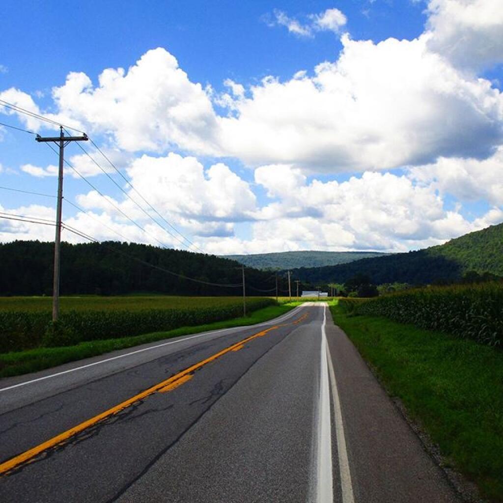
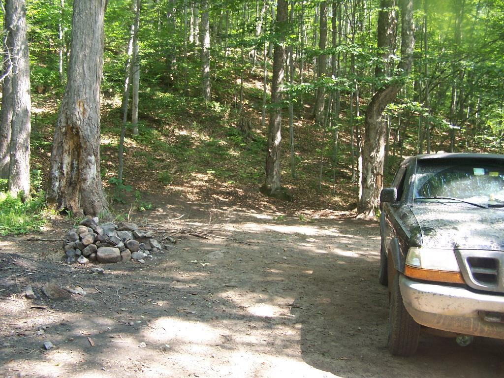
About three weeks ago I decided I wanted to go hiking in the Adirondack High Peaks. It was my first time hiking there, and it probably will be the last time I go up there for a while, mainly because of the absurdly bad fear of heights. A 120 mile drive from Albany, it took me about 2 1/2 hours to reach the trail head on NY 73.

Waiting for the bus to Thacher Park

The first part of the trail is steep (as is most of the trail), but with limited views.

Along Trail

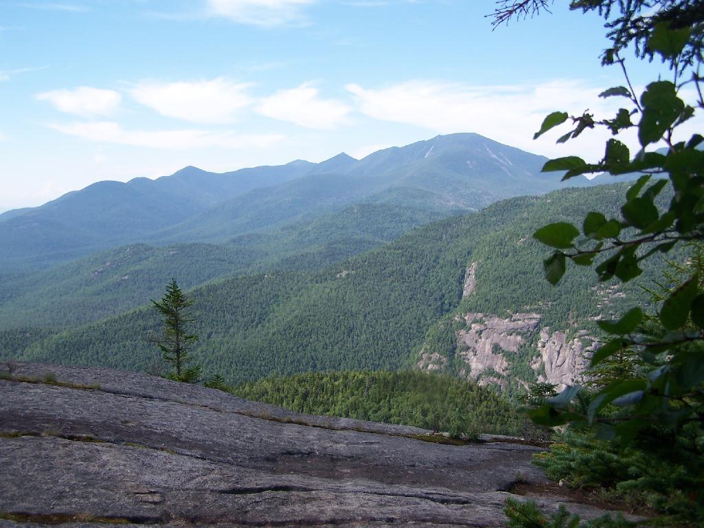
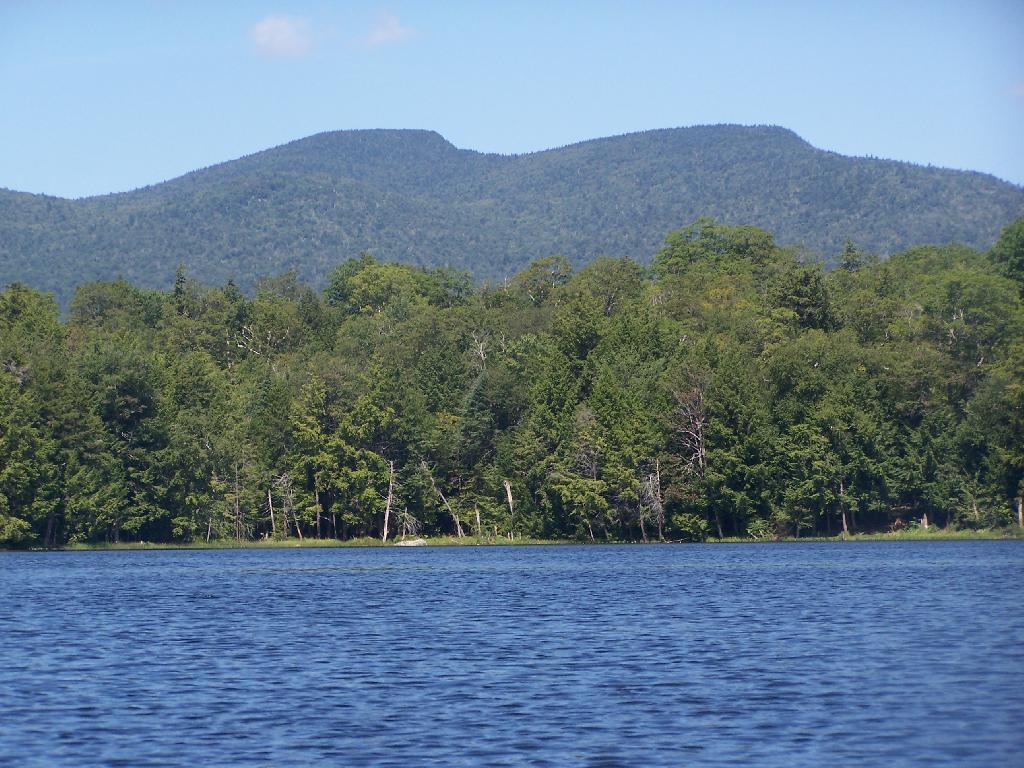
After 3/4 mile of a hike, it opens up to a ledge with views of the Keene Valley.

Keene Valley

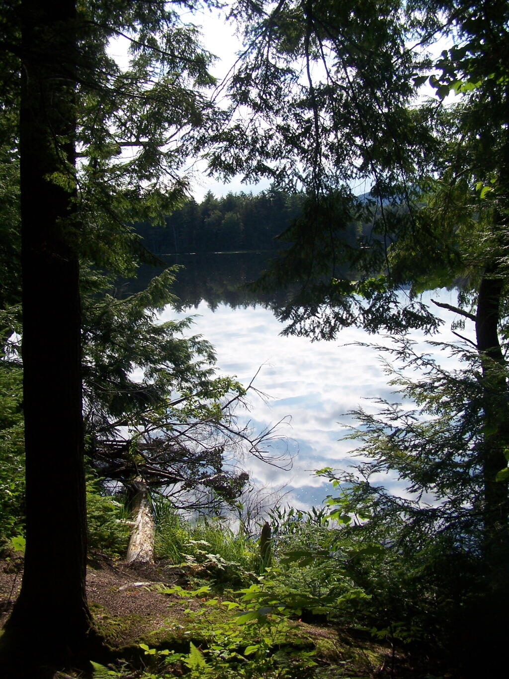
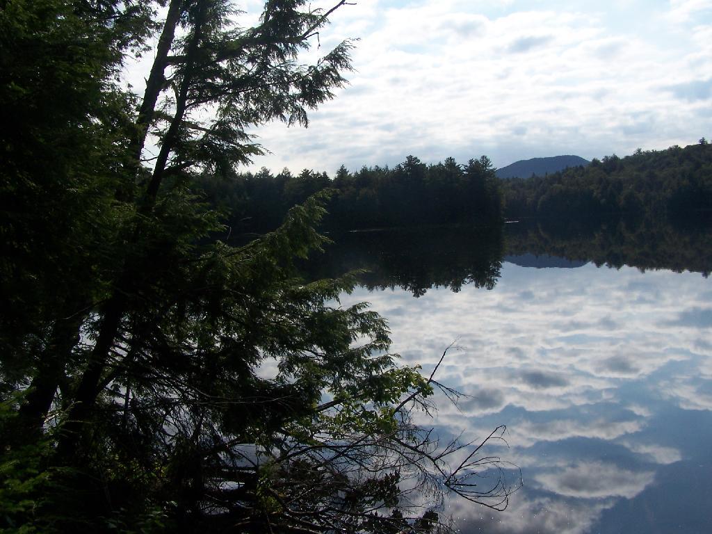
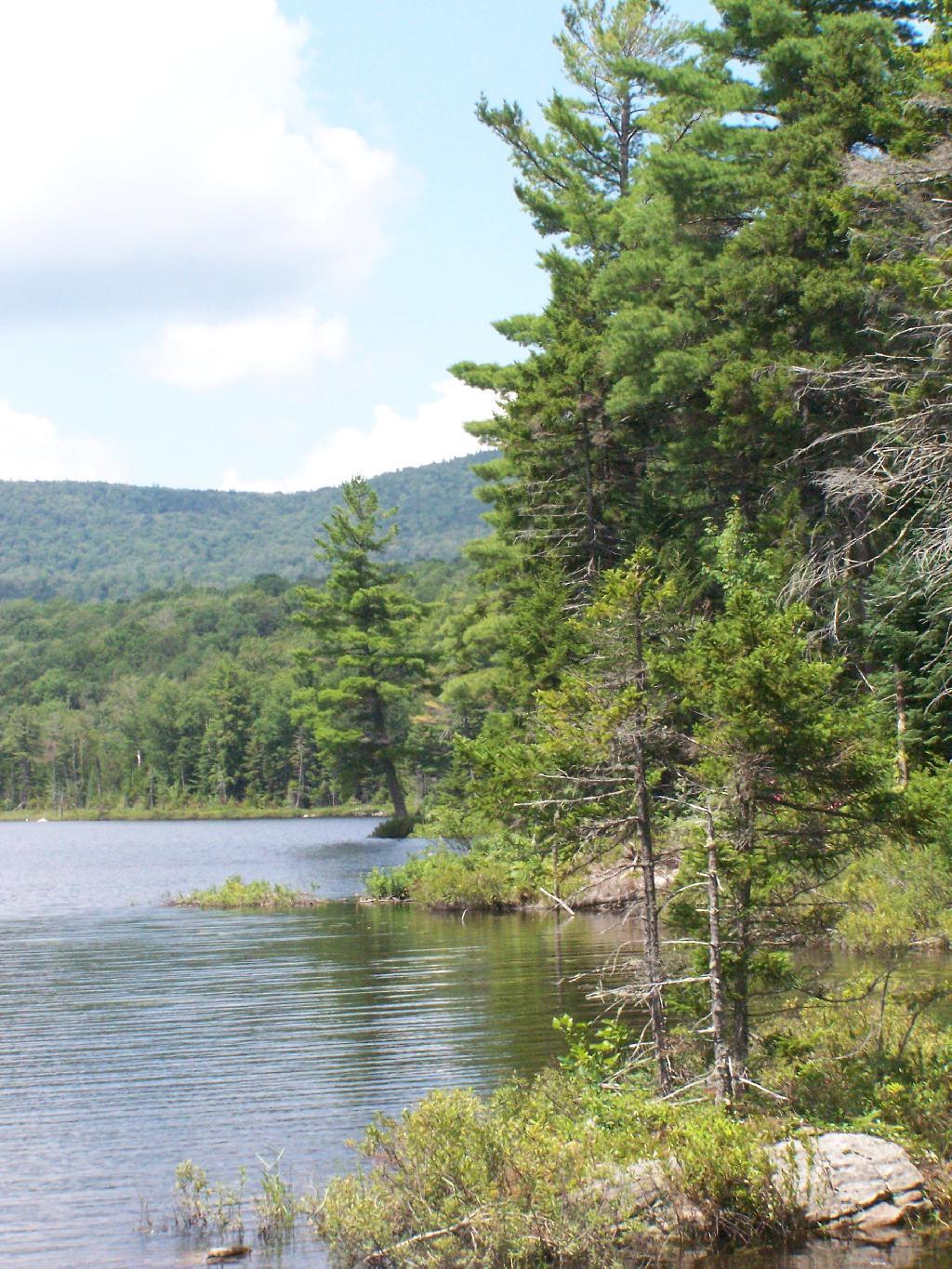
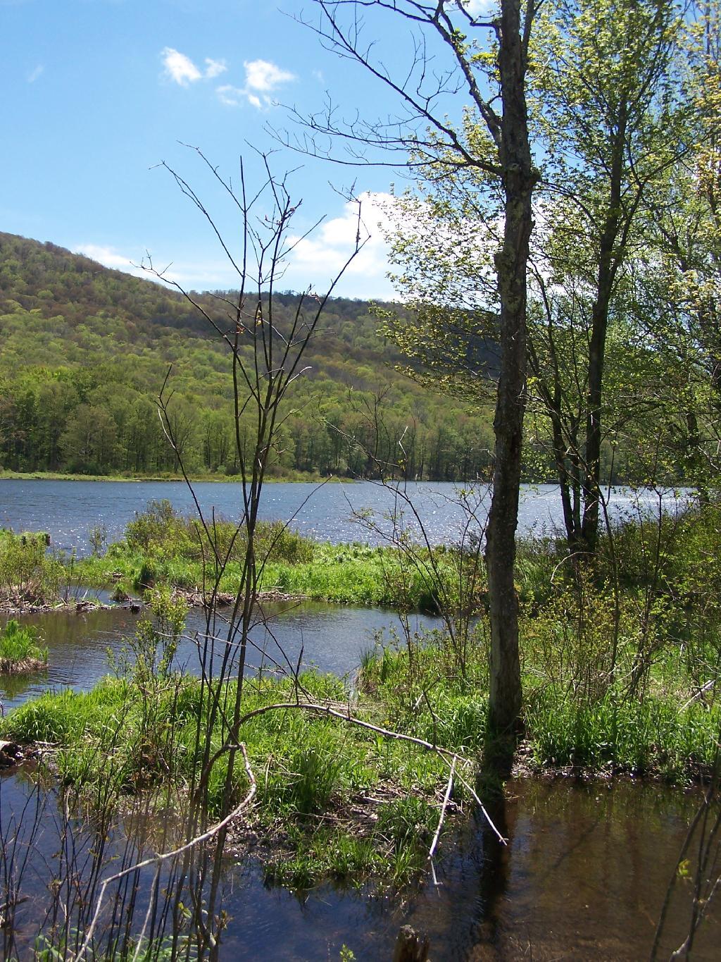
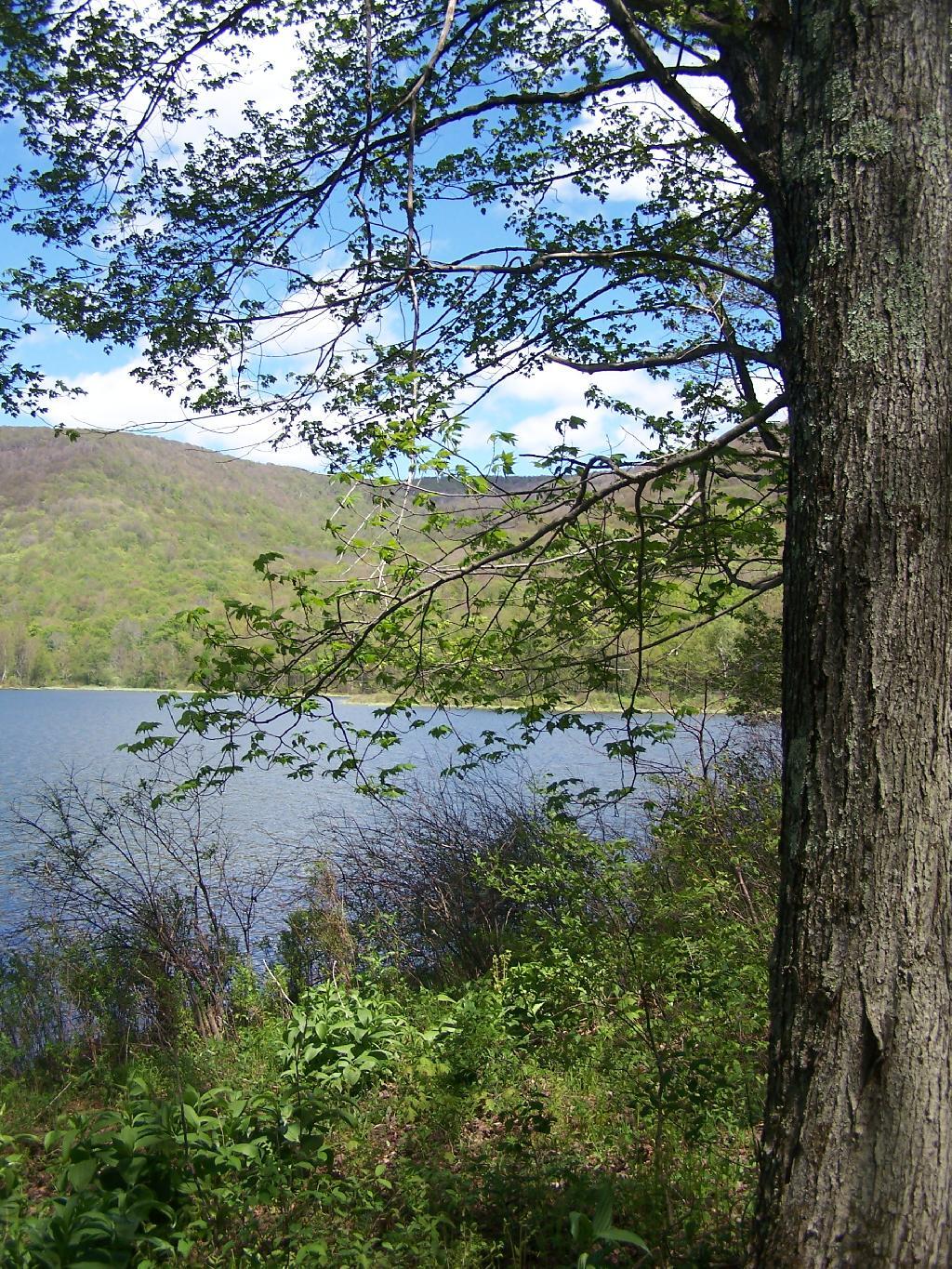
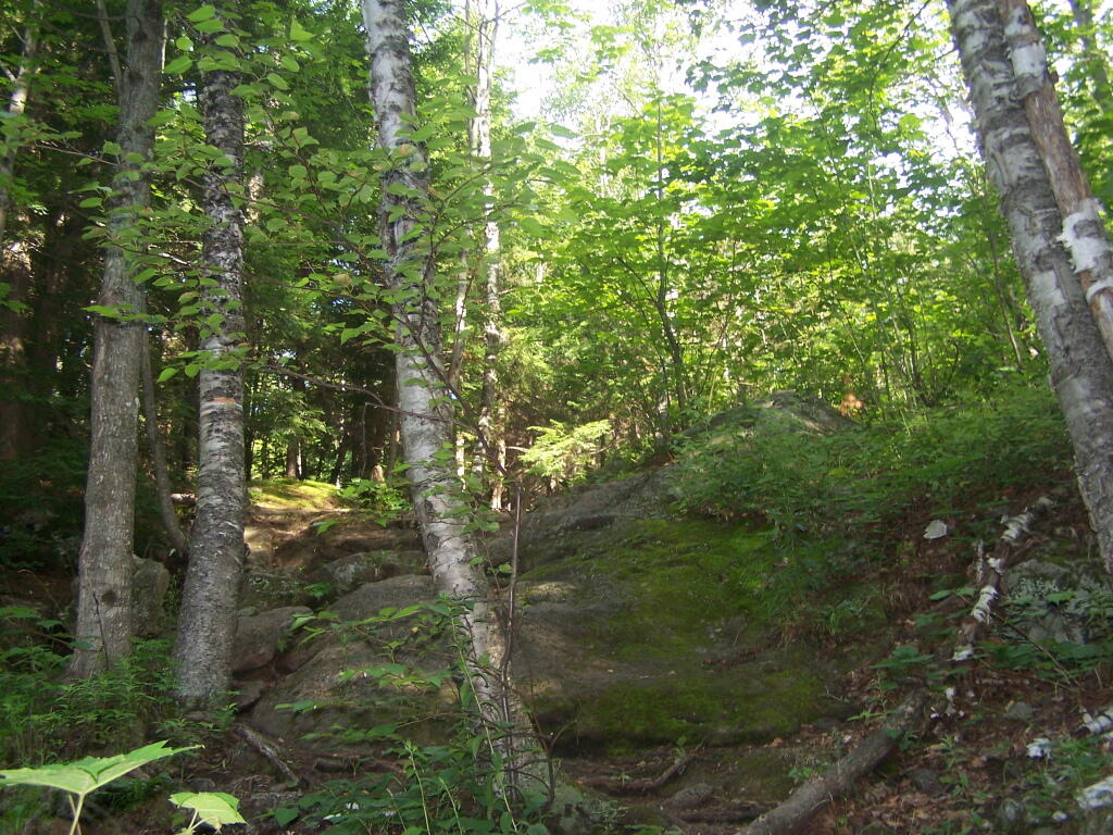
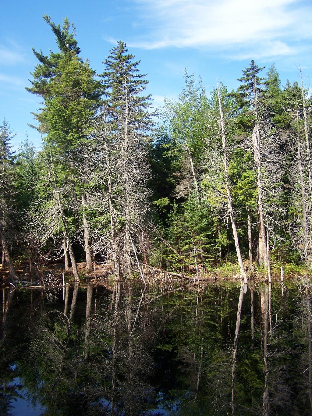
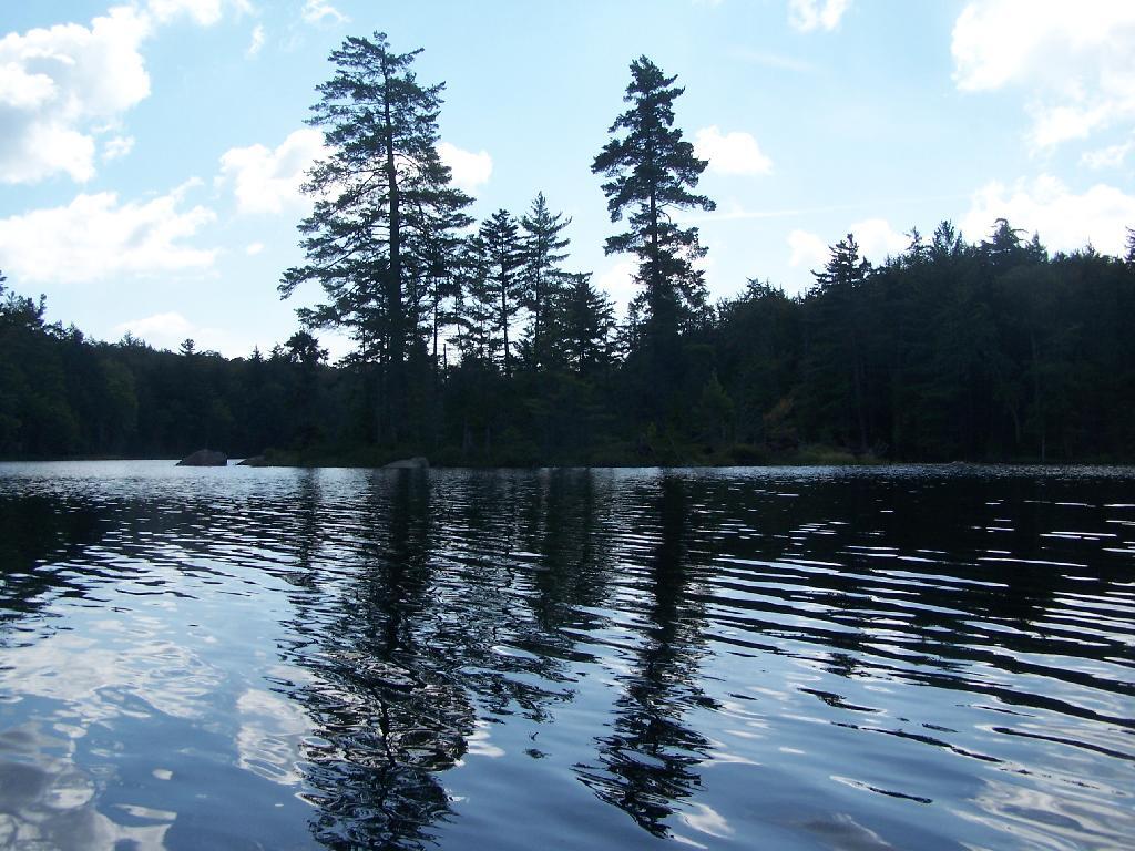
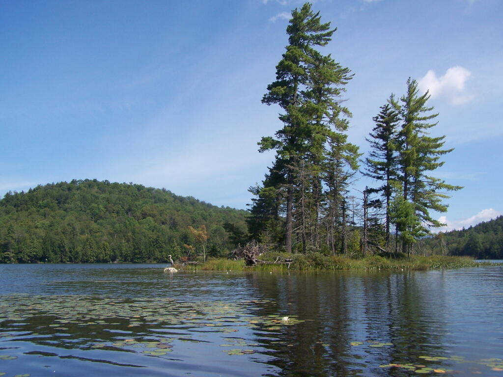
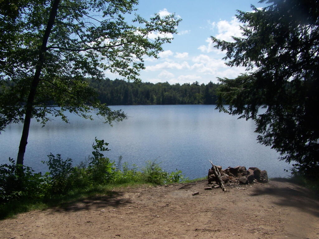
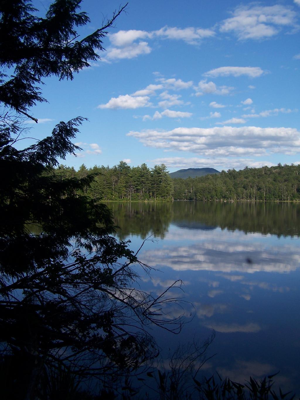
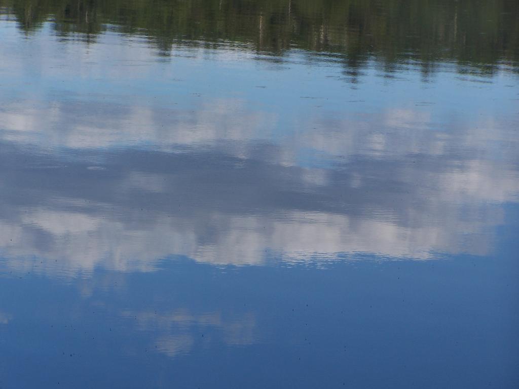
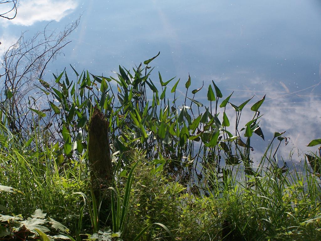
Shortly there after you reach the Giant Washbowl, a mountain pond with interesting views, surrounded by mountains.

7/10 Mi to NY 73

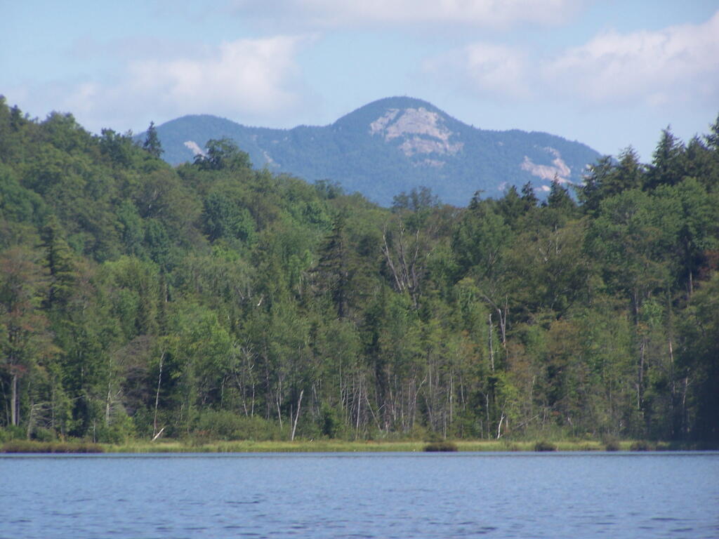
You also get a neat view of Nubble.

Untitled

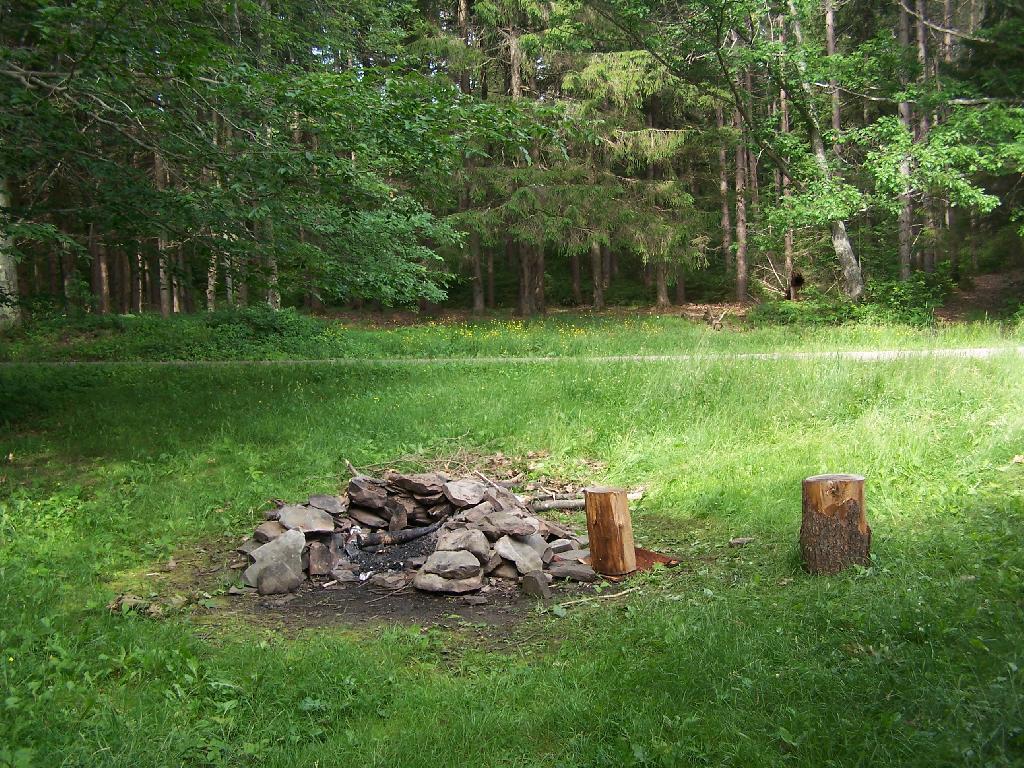
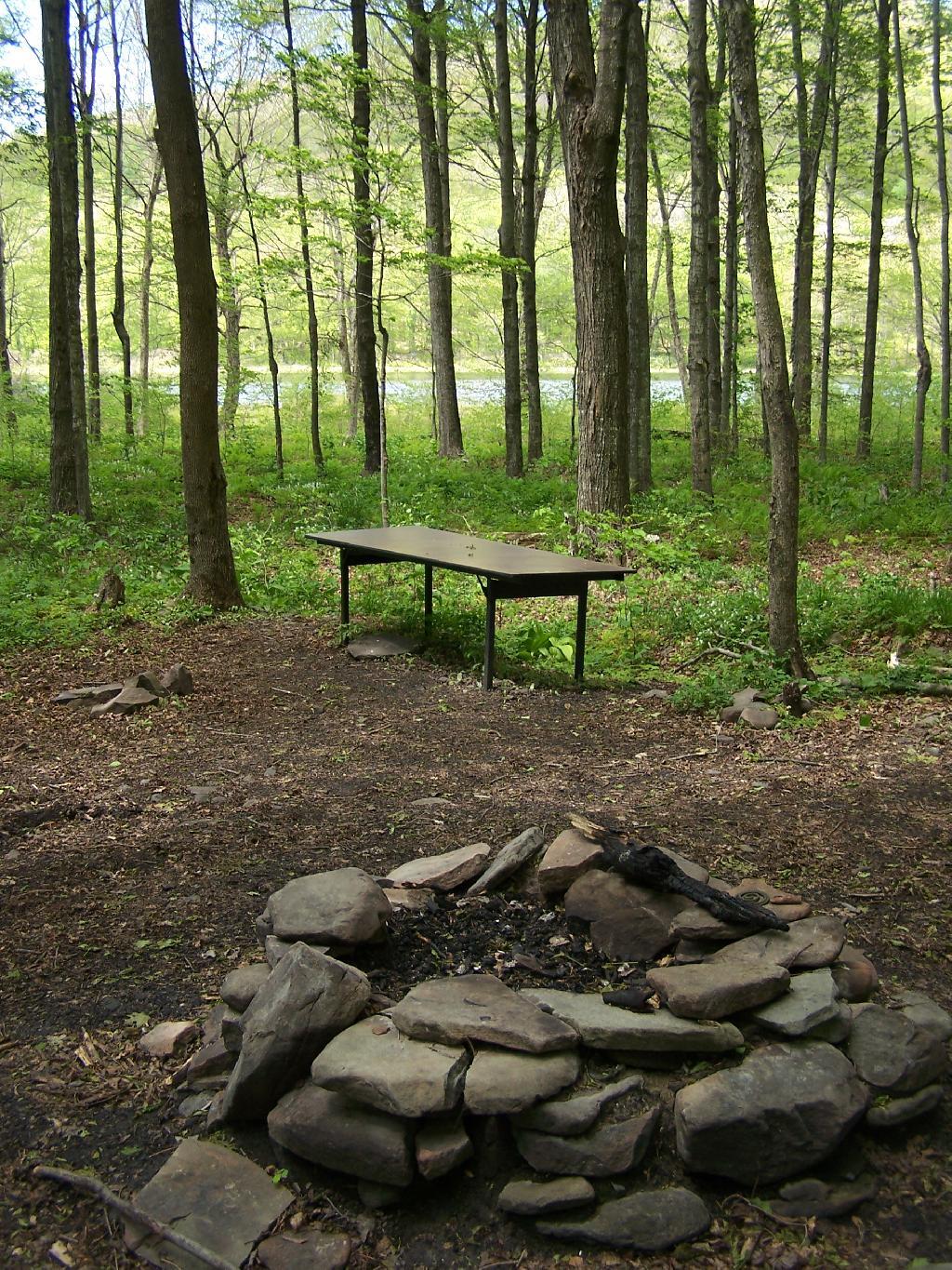
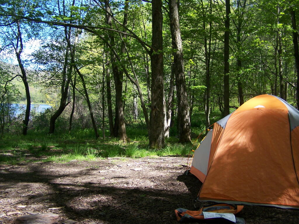
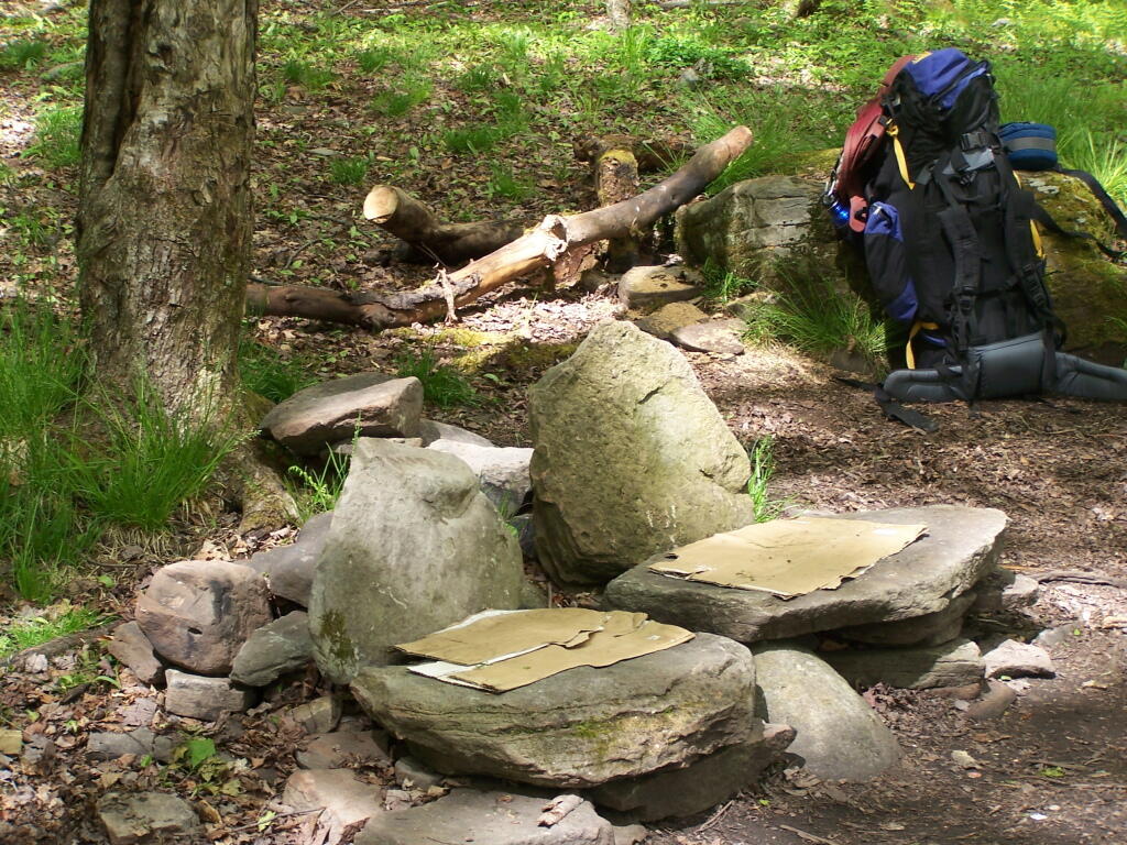
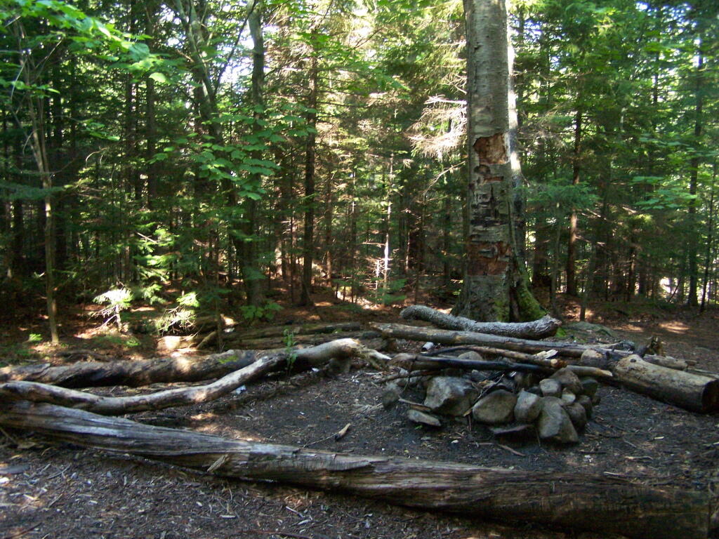
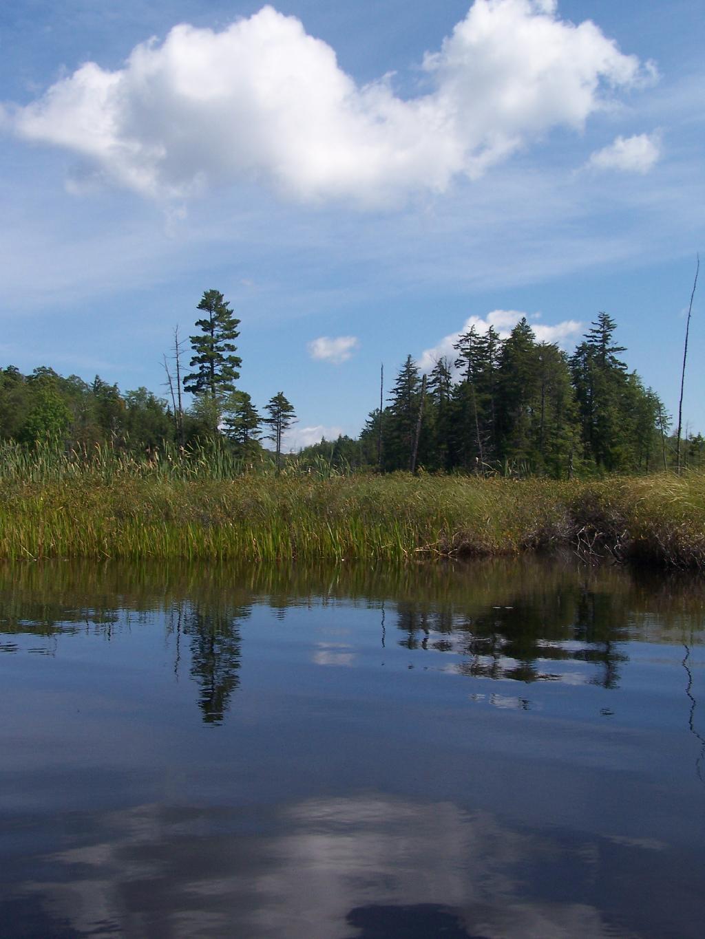
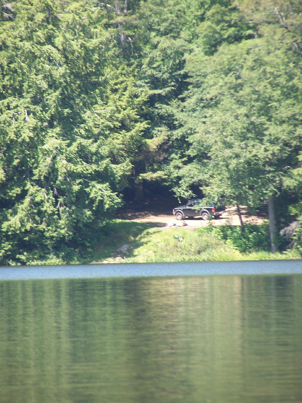
There are two primative campsites along Giants’ Washbowl with no facilities except some logs to sit on.

Campsite

Second Campsite at Washbowl

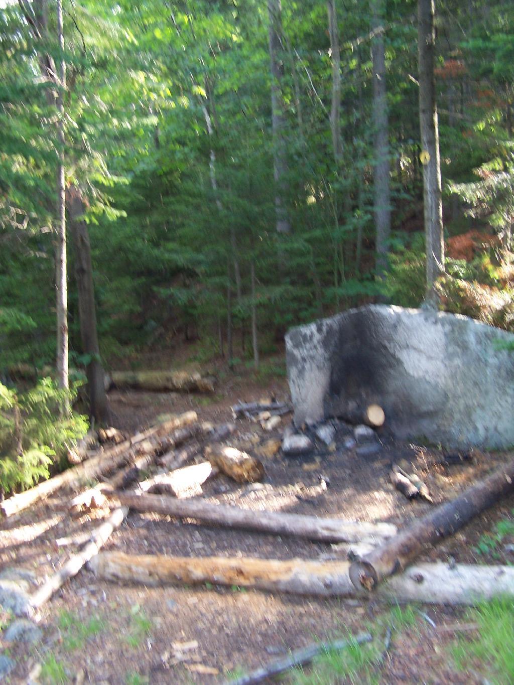
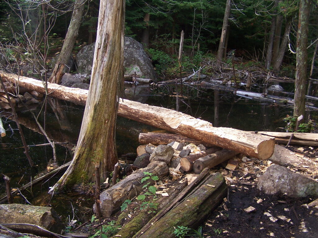
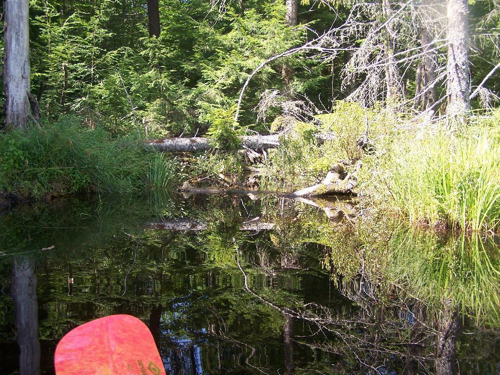
You cross Giants’ Washbowl on a log.

Foot Bridge

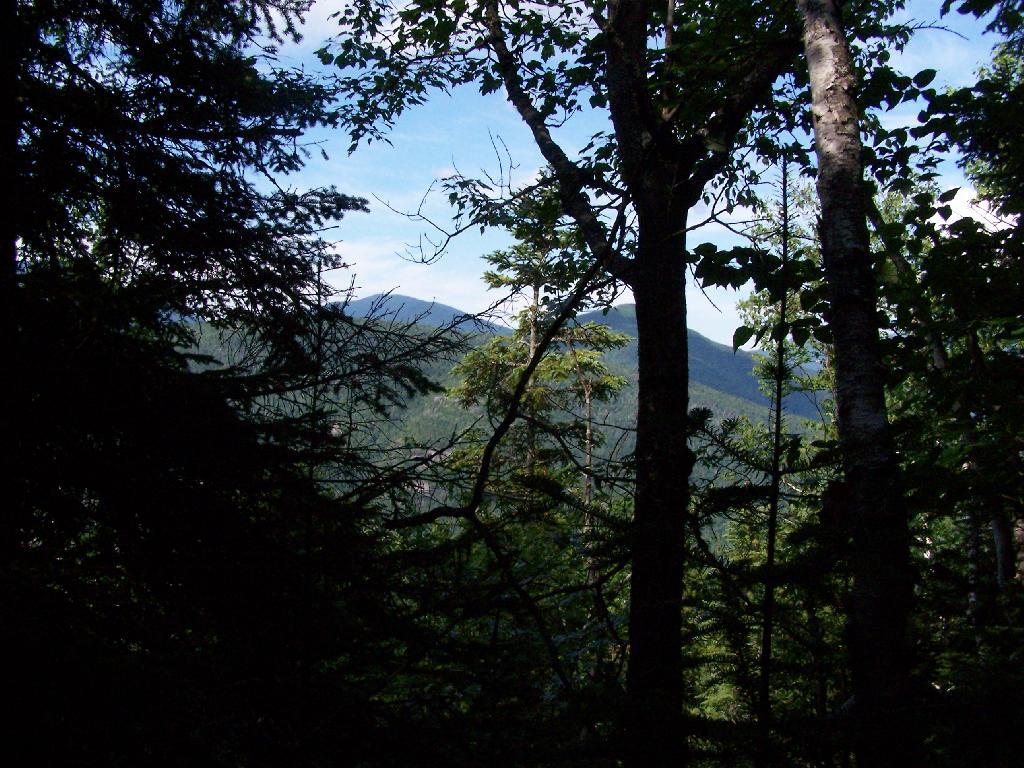
With the confirous trees surrounding Giants’ Washbowl you would have no idea what season it was from this picture.

Colors

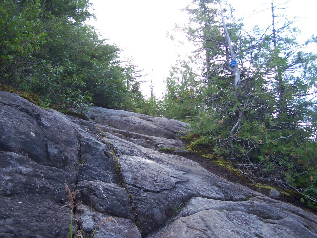
Past Giants’ Washbowl, the trail gets steeper and goes through a series of switch backs as you continue to climb.

View Through Trees

At about 2 miles the trail opens up to a series of open rock scrambles, where you walk along a ledge of sloped rocks. It did nothing for me.

Rock Scrabble

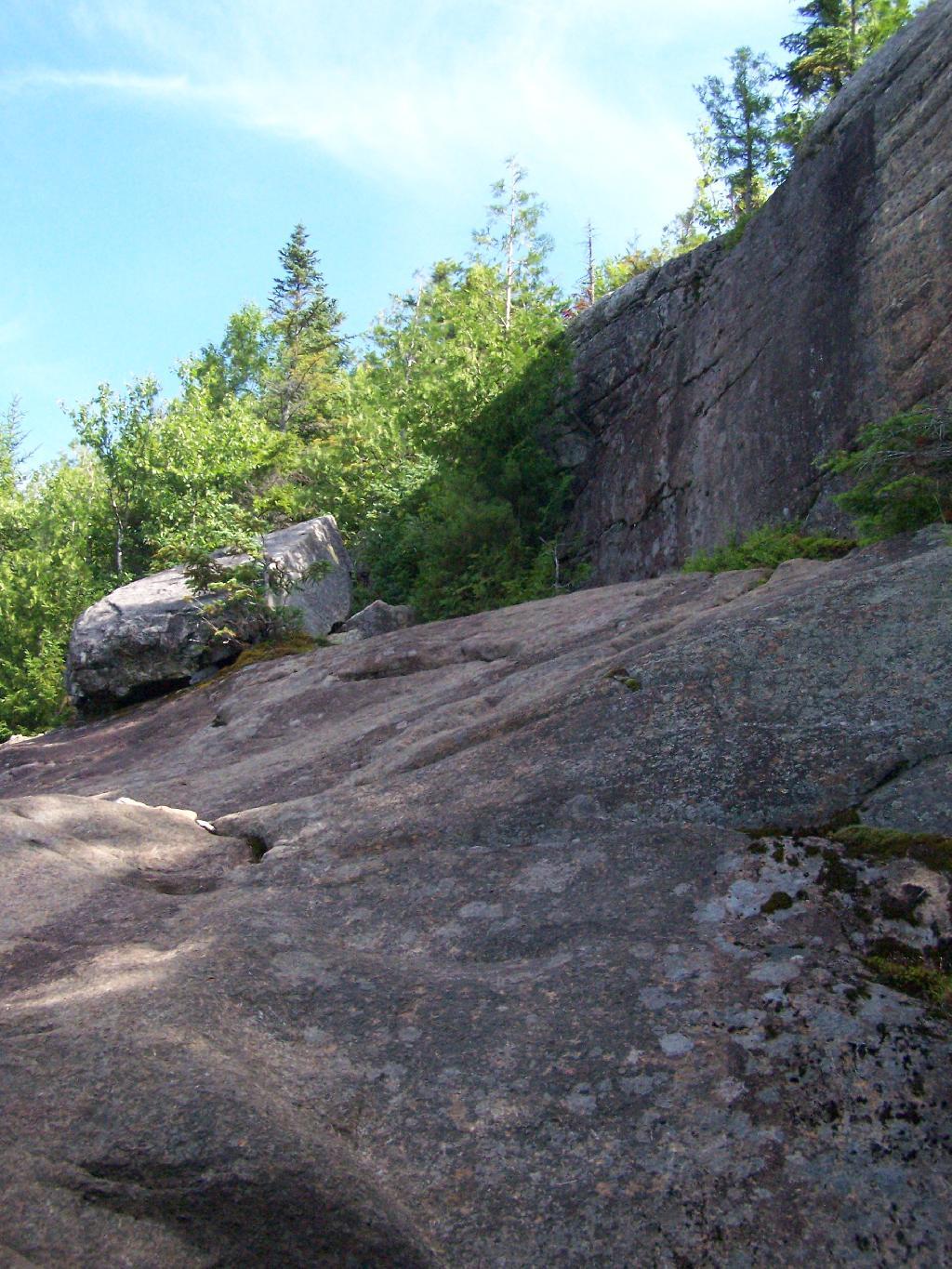
Literally, the trail runs right along this sloped ledge. These open ledges just made me sick. I started to puke, with my fear of heights kicking in as as scrambled along this.

Open Rock Face

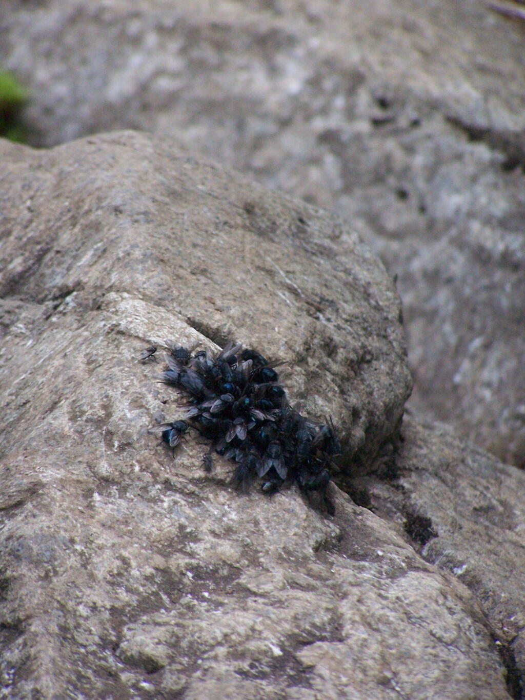
That and seeing the maggots swarming over this piece of dung right on the trail did nothing for me.

Got Maggots

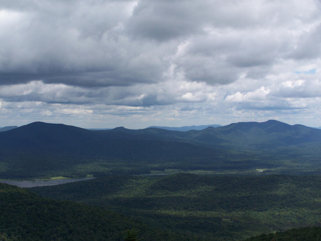
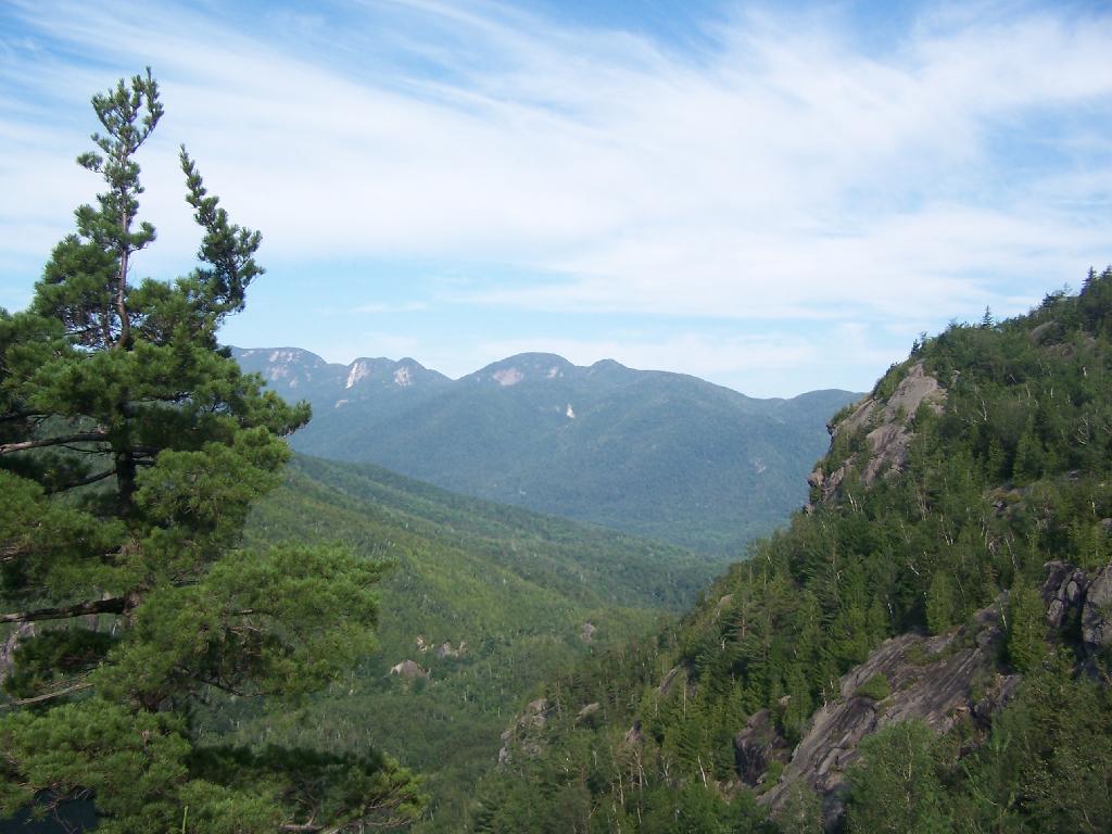
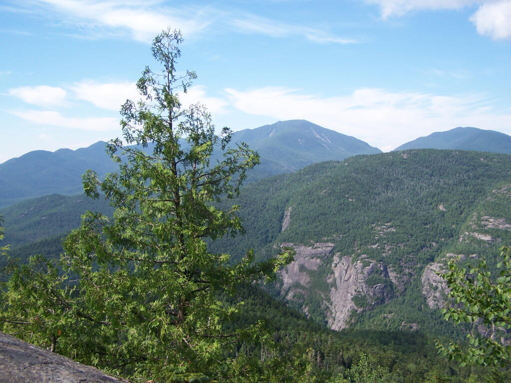
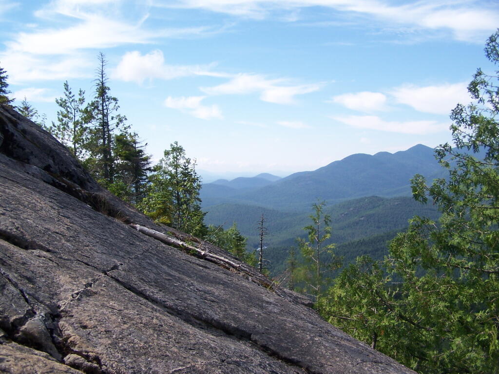
That said, the views from this ledge where spectular.

Looking Across the Valley

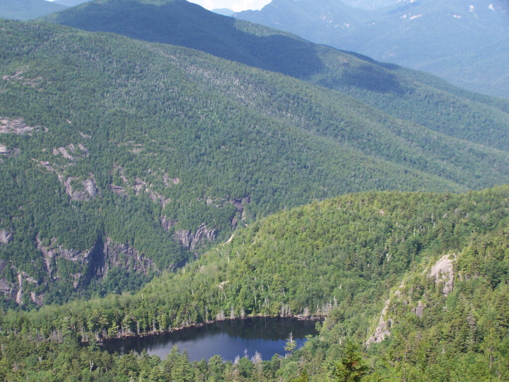
I continued to climb another 300 feet or so on the trail, when I decided to go back, but I did get a chance to get some pretty awesome pictures from up above.

Further

On a rock ledge, looking down at Giants’ Washbowl.

Giants Washbowl from Above

And Noomatic Mountain.

Noomantic Mountain

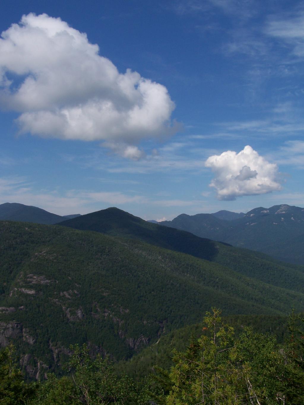
Looking South-West towards Pharoah Mountain Wilderness.

South-West

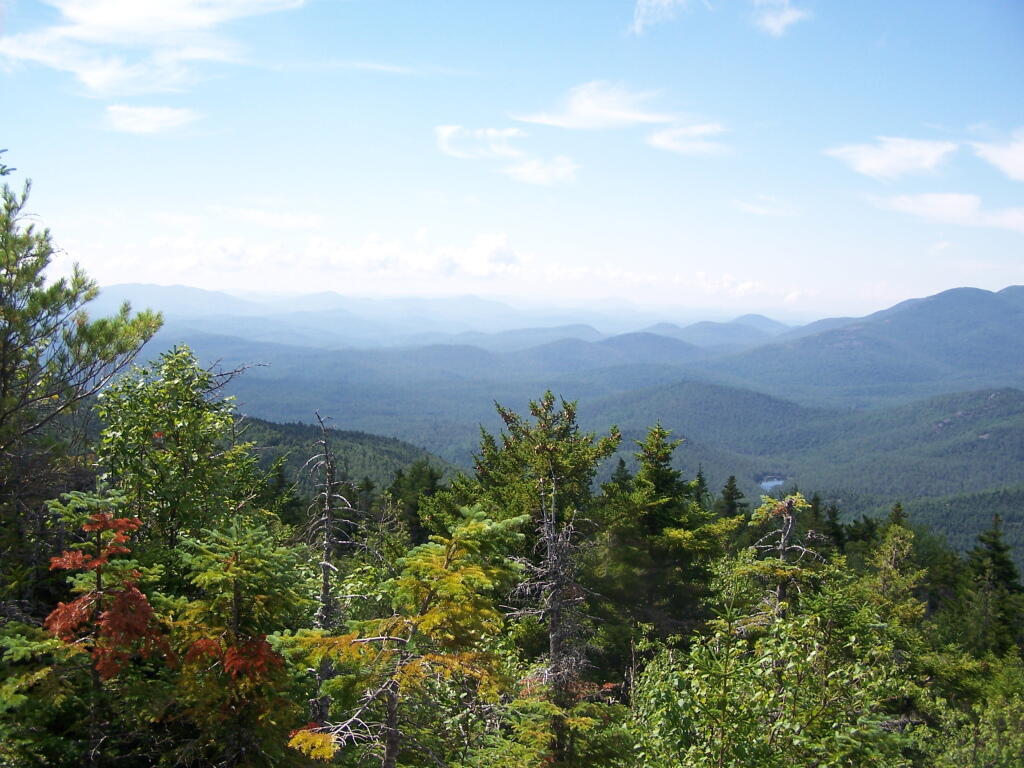
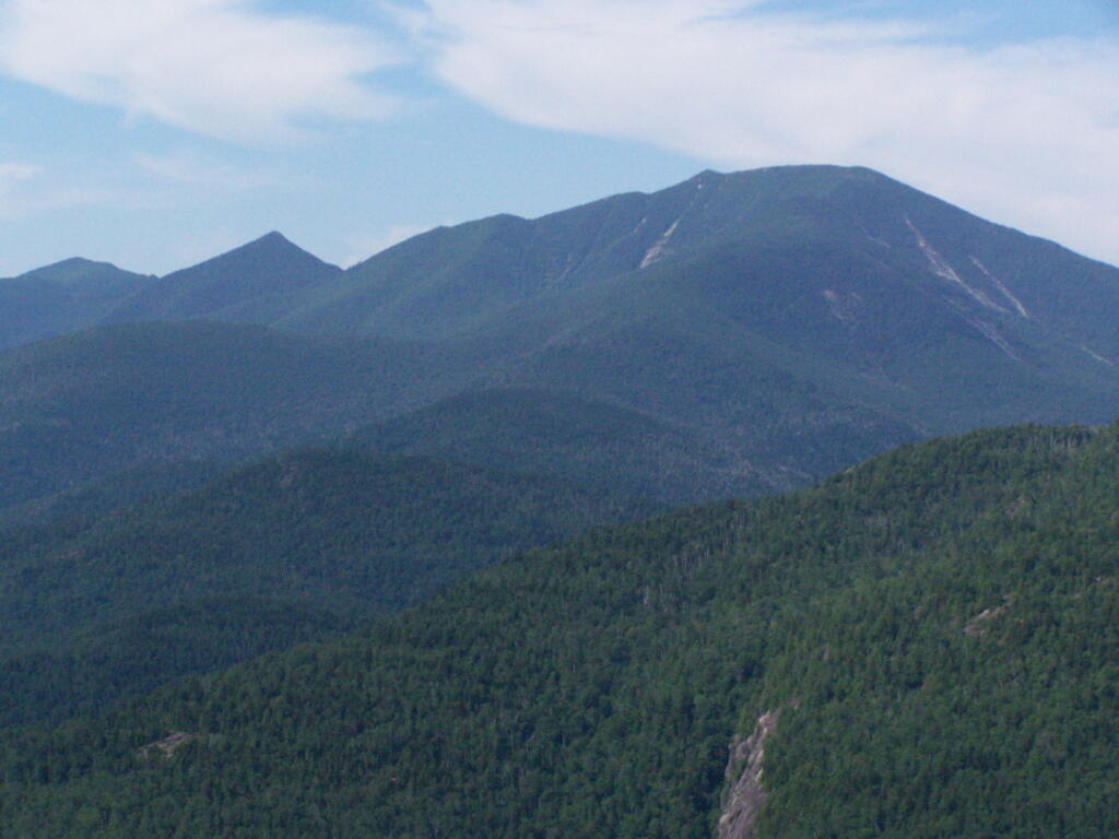
Dix Mountain and surrounding range.

Dix Mountain

At any rate, this kind of hiking did nothing for me. I decided to descend Giant Mountain, and not spend much more time in the High Peaks Range for the foreseeable future. As much as I enjoy spending time outdoors, the High Peaks with their significant ascent and the open faces just is no fun. Just writing about this mountain and looking at the pictures makes me want to barf again!

Untitled

Map of the hike:


View Giant Mountain in a larger map

Driving Thru Moose River Plains

In preparation for my summer vacation I decided to drive through the Moose River Plains Wild Forest. This area has been subject to quite a bit of controversy over the years, in part from the environmentalists who do not believe “drive-in” camping is appropiate use of Adirondack Wild Forest, and most recently from the State DEC which threatened to close this 30 mile truck trail due to a lack of funds.

While my camera was broken while I was able to grab a few pictures. I will take more when I get back from my week up there.

Parked Along Cedar River Road

Here is the route. The first 5 miles of Cedar Plains Road from Indian Lake is black top, and rapidly transitions to rough dirt road.


View Larger Map

Around 7 miles in you reach the beautiful Wakely Pond, with Wakely Mountain in the background, where there is a fire tower up top..

Wakely Pond

About 11 miles in you reach the Cedar River Flow, a big field camping area next to the dammed up Cedar River, creating a large man-made lake.


View Larger Map

Cedar River Entrance Sign

The beautiful Cedar River.

Otherside of Dam at Cedard River Flow

At the start of Moose River Road, there are two cabins and a sign in booth, along with the field camping that is popular with RVs.

Moose River Plains Overview


View Larger Map

Along the next 20 miles of Moose River Plains Road, there are about 150 campsites, used by tent campers and RVs alike. Many are located far off the roads, and provide a great deal of privacy. The landscape is one of hills, mountains, and deep valleys, and then eventually becomes open sandy plains as you head east. It’s over an hour drive from here to Inlet, via a very rough state truck trail.


View Larger Map

You really can’t drive much above 15 miles per hour, and sections of the road are washed out and one must avoid them.

More pictures to come after vacation…

Camping at Duck Pond

On the maps of Burnt Rossman, and in the plan for this area, there is a primative campsite. While unmarked there, there are two developed campsites along the pond with stone-built campfire places, and some places where horses have been staked down in the past.

Campsite at Duck Pond

 Bubb And Sis Lakes Trail

Duck pond which is mostly a swamp, is quite pretty in the evening. The bugs really weren’t that bad.

Duck Pond at Night

Cleaning up after dinner in the evening.

Camping at Duck Pond

The wildflowers where in full bloom in late June when I was camping out there.

Wildflowers

Wildflowers

Near the campsite is a monument commemerating Charles Hopkins, the first Forest Ranger who maintained these 13,000 acres of state land.

Camping in the Mountain Laurel

In the morning, I drove south toward Blenhium on the rather rough part of the Duck Pond Truck Trail, which becomes much rougher after Duck Pond.

Rough Lower Section of Burnt Hill Road

While I camped out there all night, I only saw one car in the morning driving by.

Here is a map of Duck Pond at Burnt Rossman.

Camping at Alder Lake

In the western Catskill Mountains, near Margretville and the Pepacton Reservior is Alder Lake, and old resort lake that is now State Forest, and offers primitive camping around the lake. It is backpack only in, however it is a short walk from the parking area to the approximately 7 designated primitive campsites around the lake.

Primative Campsite II

The 77-acre man-made lake, is handsomely surrounded by a high mountains of the Mill Brook Range, and other unnamed mountains. It is a 6-mile hike to the east to get to Balsam Mountain, home of a fire tower.

Coykendall Lodge Ruins

Setting up my tent at one of the campsites.

Primative Campsite and Table

Setting Up My Tent

The 1.5 mile trail around the lake has several interesting views of the lake.

Marshy End of the Lake

Along Edge of Alder Pond

Several of the campsites have stone chairs, and other things made out of natural products.

Stone Chairs

Cooking dinner.

Cooking Dinner

It was a beautiful night out there.

Watching the Campfire Burn in the The Evening

Here is a map of Alder Lake.


View Alder Lake in a larger map