Search Results for: photo fire 4

Camping Log

New York Land Cover

January – June 2011.

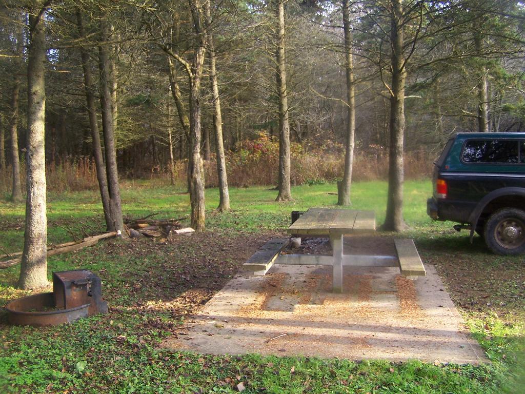
Roadside: 9, Tent: 1, Leanto: 0 nights …

Date Campsite Where Type Notes
06/19/11 Campsite On Forest Road 70 Near Lye Wilderness Forest Road 70, Green Mountains NF, Kelley Stand, VT Roadside camping (in pickup truck): no charge Hiked towards Big Alder, but couldn’t cross stream. Rainy day, did a little paddling in Powley Place. Nicer day on Memorial Day
06/04/11 Campsite On Back Side of Stockmans Island Stockmans Island, Hudson River State Park, NY Tent camping after paddling in on kayak Put in at Coxscakie Boat Launch, camped on an island in Hudson River.
05/29/11 Powley Place (Campsite 9) Piseco-Powley Road, Ferris Lake Wild Forest, Stratford, NY Roadside camping (in pickup truck): no charge Hiked towards Big Alder, but couldn’t cross stream. Rainy day, did a little paddling in Powley Place. Nicer day on Memorial Day.
05/28/11 Powley Place (Campsite 9) Piseco-Powley Road, Ferris Lake Wild Forest, Stratford, NY Roadside camping (in pickup truck): no charge Rainy day. Hiked around Powley Place.
05/27/11 Powley Place (Campsite 9) Piseco-Powley Road, Ferris Lake Wild Forest, Stratford, NY Roadside camping (in pickup truck): no charge Left work early, drove up there. Nice evening before the rain.
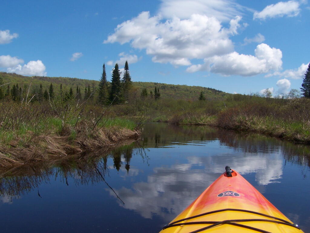
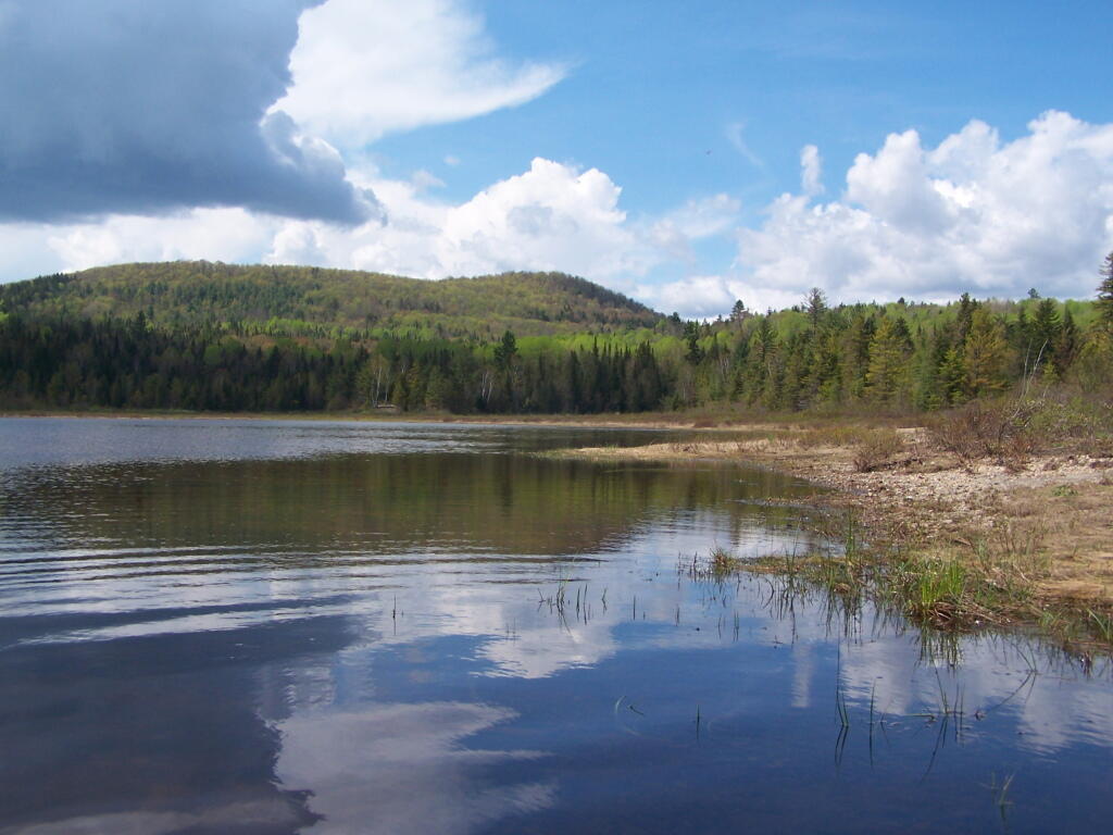
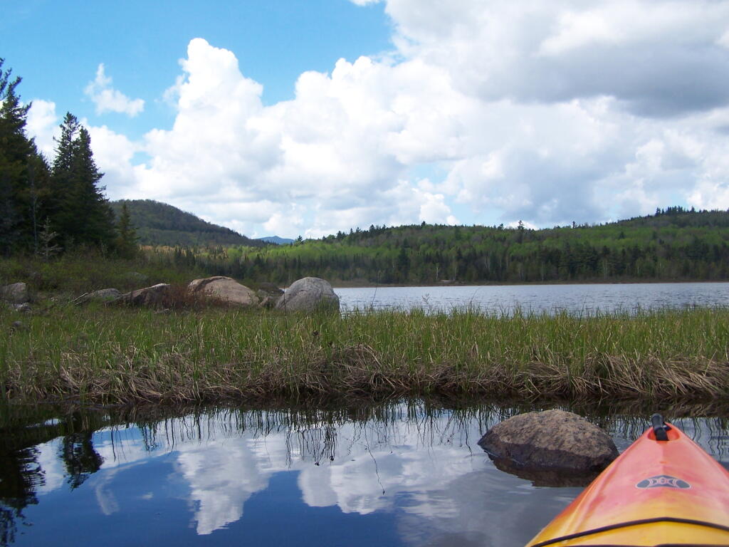
05/21/11 Cheney Pond Cheney Pond, Vanderwhacker Wild Forest, Newcomb, NY Roadside camping (in pickup truck): no charge Explored Vanderwhacker Wild Forest. Kayaked around Cheney Pond couple of times, explored Tawandus Ruins.
05/20/11 Fox Lair Campsite NY Route 8, Wilcox Lake Wild Forest, Bakers Mills, Adirondacks, NY Roadside camping (in pickup truck): no charge Much nicer this time, a little rain, things greened up. Got a little rain, very damp.
04/22/11 Fox Lair Campsite NY Route 8, Wilcox Lake Wild Forest, Bakers Mills, Adirondacks, NY Roadside camping (in pickup truck): no charge Woke up to 3” of cold wet snow and rain, decided to go home and abandon trip.
04/21/11 Gravel Pit Campsite NY Route 8, Wilcox Lake Wild Forest, Griffin, Adirondacks, NY Roadside camping (in pickup truck): no charge Cold morning, trees covered with ice. Hike up around part of 13th Lake near North Creek, NY
04/09/11 Moscow Hill Horse Camp Brookfield State Forest aka Charles Baker State Forest, Brookfield, NY Roadside camping (in pickup truck): no charge One other camper here, no equestrians this time of year. Wanted to camp on Cherry Ridge, however too much snow there.

Getting Out and Stretch

March – December 2010.

Roadside: 28, Tent: 2, Leanto: 1 nights …

Date Campsite Where Type Notes
12/4/10 Old NY 8 Wilcox Lake Wild Forest, Griffin, NY Roadside camping (in pickup truck): no charge Very cold. Ice and snow on truck in morning. Kind of close to NY 8, but all the best campsites taken by hunters.
11/12/10 Lower Assembly Area Sugar Hill State Forest, Watkins Glen, NY Roadside camping (in pickup truck): no charge Woke up surrounded by Horse Trailers and equestrians in morning. Assembly area was closed this time of year, but horse trails still widely used.
11/11/10 Informal campsite on Forest Road 151 Allegheny National Forest, Near Sayre, PA Roadside camping (in pickup truck): no charge Second night at Allegheny National Forest. I liked the site I stayed in the previous day a lot, and the days where too short (sunset at 4:45 PM), so no time to waste searching for a site.
11/10/10 Informal campsite on Forest Road 151 Allegheny National Forest, Near Bradford, PA Roadside camping (in pickup truck): no charge Many sites in Allegheny National Forest. This one I particularly liked, so I decided to stay there.
11/09/10 Aspah Run Camping Area Aspah, near Wellsboro, PA Roadside camping (in pickup truck): paid primitive area Decided due to a lack of a time due to early sunset, would have done roadside/back country camping, but for $10, and being alone, it was fine.
11/08/10 Aspah Run Camping Area Aspah, near Wellsboro, PA Roadside camping (in pickup truck): paid primitive area Camped here, because I didn’t want to camp back country, and didn’t know the area well enough.
11/07/10 Lower Assembly Area Sugar Hill State Forest, Watkins Glen, NY Roadside camping (in pickup truck): no charge Originally wanted to camp at Birds Eye Lake or something like that, but the map I had got me lost, and I couldn’t find the road campsite up there.
11/06/10 Campsite 7 Stoney Pond State Forest, Madison, NY Roadside camping (in pickup truck): no charge Frost/ice on puddles in morning. Some snow in some places.
09/05/10 Campsite 56 Moose River Plains, Inlet, Adirondacks, NY Roadside camping (in pickup truck): no charge Rain showers, enjoyed staying in a very private and quite campsite up in the sandy plains.
09/04/10 Campsite 56 Moose River Plains, Inlet, Adirondacks, NY Roadside camping (in pickup truck): no charge Hiked to Mitchells Pond. More rain. It was kind of wet and cold.
09/03/10 Campsite 56 Moose River Plains, Inlet, Adirondacks, NY Roadside camping (in pickup truck): no charge Kind of wet and rainy, hung out in camp, did a little exploring of the plains. Also, paddled in Cedar River Flow for a while. Enjoyed the very private drive in site here.
09/02/10 Campsite 2 Moose River Plains, Inlet, Adirondacks, NY Roadside camping (in pickup truck): no charge I left work at 5 PM…. but with traffic, and wanting to get a pizza to eat on the way up, didn’t get to Moose River Plains until after 9 PM. Very dark, very tired, just wanted a place to collapse.
08/28/10 An Designated Campsite Big Pond, near Margretville, NY Kayak in Primitive Campsite: no charge Did a little hiking an exploring around Ashfield Pinnacle, then drove south to Big Pond. Lantern did not work, a very dark night.
08/27/10 Betty Brook Campsite Burnt-Rossman Hill State Forest, Schoharie, NY Roadside camping (in pickup truck): no charge Nice night after work…. drove around Mallet Pond State Forest, looking for campsites and interesting places to explore.
08/14/10 Mountain Pond Campsite 4 Mountain Pond, Paul Smiths, NY Roadside camping (in pickup truck): no charge Last day of NY 30 Kayak vacation. Mountain Pon was nice, very remote, just off of NY 30.
08/13/10 Floodwood Road Campsite 3 Floodwood Road, Fish Creek Ponds, NY Roadside camping (in pickup truck): no charge Crowded, stayed down by Poliwog Pond… wouldn’t go there again.
08/12/10 Horseshoe Lake Campsite 8 (about a ½ mile from lake) NY 421, Horseshoe Lake, NY Roadside camping (in pickup truck): no charge Couldn’t get a site right on Horseshoe Lake. Discovered Lows Lake – amazing.
08/11/10 Wakely Pond Campsite 7 Moose River Plains, Inlet, Adirondacks, NY Roadside camping (in pickup truck): no charge Wanted to paddle Cedar River Flow and enjoy camping up near water …
08/10/10 Undesigned Campsite, west side of road Mason Lake, Spectulator, NY Roadside camping (in pickup truck): no charge First day of kayak vacation, as I drove up from work, decided to go somewheres not too far away …
07/31/10 Undesigned Campsite, west side of road Mason Lake, Spectulator, NY Roadside camping (in pickup truck): no charge Hiked to Pillsbury Mountain Firetower, then camped down at Mason Lake.
07/18/10 Otter Brook Campsite (MRP Number 110) Moose River Plains, Inlet, Adirondacks, NY Roadside camping (in pickup truck): no charge Camped by the Otter Brook Bridge, at a rather large campsite. Not my favorite campsite, and it poured out.
07/17/10 Wakely Pond Campsite 8 Moose River Plains, Inlet, Adirondacks, NY Roadside camping (in pickup truck): no charge Camped down by Cedar River Flow, in a drive in site, a short way from the Flow, but also pretty private.
07/16/10 Wakely Pond Campsite 8 Moose River Plains, Inlet, Adirondacks, NY Roadside camping (in pickup truck): no charge Camped down by Cedar River Flow, in a drive in site, a short way from the Flow, but also pretty private.
07/15/10 Wakely Pond Campsite 8 Moose River Plains, Inlet, Adirondacks, NY Roadside camping (in pickup truck): no charge Camped down by Cedar River Flow, in a drive in site, a short way from the Flow, but also pretty private.
06/27/10 Balsam Swamp Camping Area Site 3 Balsam Pond, East East Pharsalia, NY Roadside camping (in pickup truck): no charge Came back to here, after exploring Labrador Hollow.
06/26/10 Balsam Swamp Camping Area Site 3 Balsam Pond, East East Pharsalia, NY Roadside camping (in pickup truck): no charge Stop over between Burnt-Rossman and Labrador Hollow. Liked camping here in the past.
06/25/10 Duck Pond Campsite Burnt-Rossman Hill State Forest, Summit, NY Roadside camping (in pickup truck): no charge Camped up a Duck Pond for a change, after driving out here after work.
06/05/10 Leonard Hill Informal Overlook and Campsite Leonard Hill, Broome Center, NY Roadside camping (in pickup truck): no charge Camped up by the Firetower at an informal campsite, watched sun set, weather turned to rain by morning …
06/04/10 Betty Brook Campsite Burnt-Rossman Hill State Forest, Schoharie, NY Roadside camping (in pickup truck): no charge Camped at Betty Brook, very humid, drove down to Utsaythana Firetower.
05/15/10 Alder Pond Campsite 2 Alder Pond, Balsam Lake Wild Forest, Margretville, NY Tent campsite…. short backpack in: no charge Camped at one of the campsites around Alder Pond.
04/03/10 Betty Brook Campsite Burnt-Rossman Hill State Forest, Schoharie, NY Roadside camping, in a tent Didn’t have the cap on my truck yet, but wanted to roadside camp.
03/21/10 Cotton Hill Lean To Cotton Hill, Middleburgh Short backpack into a leanto There was about a foot of snow up by Cotton Hill Leanto on first day of spring, but due to abnormally warm weather, wasn’t all that cold until late into the night.

Campsite

August – October 2009.

Roadside: 3, Tent: 0, Leanto: 0 (thru August 2009) …

Date Campsite Where Type Notes
10/11/09 Betty Brook Campsite Burnt-Rossman Hill State Forest, Schoharie, NY Roadside camping (in pickup truck): no charge First really cold evening of the year, very much fall like. I didn’t bring my warm coat with me.
10/10/09 Betty Brook Campsite Burnt-Rossman Hill State Forest, Schoharie, NY Roadside camping (in pickup truck): no charge Fairly cold night, but not as bad as one might have thought. On way out, stopped at Leonard Hill to take some pictures.
08/08/09 Betty Brook – informal campsite along road Burnt-Rossman Hill State Forest, Schoharie, NY Roadside camping (in pickup truck): no charge After hiking Slide Mountain and Balsam Lake Firetower. Dead tired …

Association for the Protection of the Adirondacks v. Alexander MacDonald

As I could not find this court case online, despite being public domain, I obtained a copy from the Research Librarian at the Bethlehem Public Library. I am posting this case in it’s entirety, as it’s key to understanding the core holdings in the case, that must be upheld whenever a proposed use is undertaken in the forest preserve.

The Association for the Protection of the Adirondacks et al., Respondents, v.
Alexander MacDonald, Conservation Commissioner of the State of New York, et al., Appellants

[NO NUMBER IN ORIGINAL]

Court of Appeals of New York

253 N.Y. 234; 170 N.E. 902; 1930 N.Y. LEXIS 820

February 11, 1930, Argued
March 18, 1930, Decided

PRIOR HISTORY.

[***1] Appeal from a judgment of the Appellate Division of the Supreme Court in the third judicial department, entered January 21, 1930, in favor of plaintiffs, upon the submission of a controversy under sections 546-548 of the Civil Practice Act.

Assn. for Protection of Adirondacks v. MacDonald, 228 App. Div. 73, affirmed.

DISPOSITION.

Judgment affirmed.

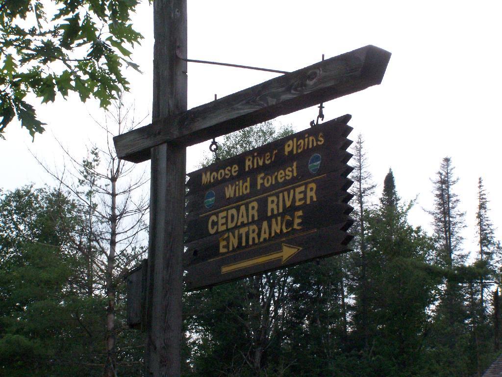
Cedar River Entrance Sign

OVERVIEW.

1929 N.Y. Laws ch. 417 was enacted to authorize the construction of a bobsleigh run in a forest preserve belonging to the state in order to provide facilities for the Olympic winter games. The officials planned to cut down 2,500 trees, and the association, a group that sought to protect state lands, objected, arguing that the state’s constitution prevented the cutting of the trees. The association obtained an injunction restraining the construction on the ground that the statute was void and unconstitutional, and the officials appealed. The court affirmed the decision, holding that ch. 417 was unconstitutional and that the timber on the lands in the forest preserve could not be cut and removed to construct a toboggan slide because N.Y. Const. art. VII, § 7 said that it could not be done. The court held that the constitution, like any other law, had to receive a reasonable interpretation, considering the purpose and the object in view, and the purpose of § 7 was that the forest preserve should be forever kept as wild forest lands and the timber could not be sold, removed, or destroyed.

Campsite North of Powley Place

SYLLABUS.

Chapter 417 of the Laws of 1929, authorizing the Conservation Commissioner to construct and maintain a bobsleigh run or slide on State lands in the Forest Preserve in the town of North Elba, necessitating the removal of a substantial number of trees from the land set aside therefor, is violative of section 7 of article 7 of the State Constitution, directing that timber in the Forest Preserve shall not be “sold, removed or destroyed,” and is, consequently, void.

COUNSEL: Hamilton Ward, Attorney-General (C. S. Ferris of counsel), for appellants. Section 7 of article 7 of the Constitution was not intended to prohibit the cutting of a relatively small number of trees, [***2] or even a single tree, when such cutting will in no wise impair the forest or subvert the purpose for which the Forest Preserve was acquired and is now being maintained. ( People ex rel. Manhattan Ry. Co. v. Barker, 152 N. Y. 433; People ex rel. Jackson v. Potter, 47 N. Y. 375; People v. Adirondack Ry. Co., 160 N. Y. 225; Einsfeld v. Murray, 149 N. Y. 367.)

Wallace T. Stock, Frederick T. Kelsey and John W. DeWitt for Public Park and Playgrounds District of the Town of North Elba, amicus curiae. The constitutional provision must be given a broad interpretation consistent with the purposes of government and with the ascertained intent of the framers thereof and of the people. ( People v. Tremaine, 252 N. Y. 27; Koster v. Coyne, 184 N. Y. 494; Matter of Burns, 155 N. Y. 23; Rochester v. Quintard, 136 N. Y. 221; People v. Petrea, 92 N. Y. 128; Matter of Gilbert El. R. Co., 70 N. Y. 361; Goodell v. Jackson, 20 Johns. 693; People v. Fancher, 50 N. Y. 288; People v. Albertson, 55 N. Y. 50; People v. Lorillard, 135 N. Y. 285; [***3] Admiral Realty Co. v. City of N. Y., 206 N. Y. 110; Matter of Dowling, 219 N. Y. 44.) The intent of the People in adopting this provision of the Constitution was the preservation and use of the Forest Preserve as a great resort for the public for the purposes of health and recreation. (Black on Interpretation of Laws [2d ed.], pp. 20, 194; Wendell v. Lavin, 246 N. Y. 115; People v. Potter, 47 N. Y. 375; Sweet v. Syracuse, 129 N. Y. 316; Stradar v. Stern, 184 App. Div. 700; Waters v. Gerard, 189 N. Y. 302; People v. Mosher, 163 N. Y. 32; People v. Lyman, 157 N. Y. 368.) The proposed bobsled run is a proper and desirable use of the State’s forest lands, consistent with the Constitution. ( Matter of Watson, 226 N. Y. 384.)

Jacob Gould Schurman, Jr., George Welwood Murray, Samuel H. Ordway and Alanson W. Willcox for respondents. The history of section 7 of article 7 of the Constitution and the effect uniformly attributed to it, demonstrate the invalidity of chapter 417 of the Laws of 1929. ( People v. Adirondack R. Co., 160 N. Y. 225; Adirondack R. Co. v. Indian River Co., 27 App. Div. 326; [***4] People v. New York Central & H. R. R. R. Co., 161 App. Div. 322; 213 N. Y. 649; Newcombe v. Ostrander, 66 Misc. Rep. 103; 140 App. Div. 945.) The legislation in question cannot be sustained as an exercise of the police power or as a reasonable use of the Forest Preserve. ( Barrett v. State of New York, 220 N. Y. 423.)

JUDGES: Crane, J. Cardozo, Ch. J., Pound, Lehman, Kellogg, O’Brien and Hubbs, JJ., concur.

OPINION BY: CRANE

Marshy Flow and Pillsbury Mountain

OPINION.

[*236] [**903] By chapter 417 of the Laws of 1929 the Conservation Commissioner is authorized to construct and maintain a bobsleigh run or slide on State lands in the Forest Preserve in the town of North Elba, Essex county, on the western slope of the Sentinel Range.

The act was passed for the purpose of providing facilities for the third Olympic winter games, which are to be held at or in the vicinity of Lake Placid, in the year 1932. The bobsleigh run will be approximately one and one-quarter miles in length and six and one-half feet wide, with a return route or go-back road. As additional land will have to be cleared on either side of the run, the width in actual use will be approximately sixteen feet, and twenty feet where the course curves. It is estimated that the [***5] construction will necessitate the removal of trees from about four and one-half acres of land, or a total number of trees, large and small, estimated at 2,500. The Forest Preserve within the Adirondacks consists of 1,941,403 acres. The taking of four acres out of this vast acreage for this international sports’ meet seems a very slight inroad upon the preserve for a matter of such public interest and benefit to the people of the State of New York and elsewhere. The Legislature, recognizing the benefits of an international gathering of this kind, has sought in the public interest, by the [*237] enactment of the above law, to provide appropriately and in the spirit of hospitality, the necessary equipment and facilities for these games, and contests, incident to winter sport, of which tobogganing is a large feature. Winter sports of course must be held in a place where there will be an assurance of sufficient continual cold weather for snow and ice, and the vicinity of Lake Placid gives this assurance. The western slope of the Sentinel range, chosen for the toboggan slide, is the nearest and most appropriate place for its construction in connection with the center of attractions.

[***6] Considering the distinction of having one of the beauty spots of New York State selected as appropriate for the International Olympic winter games and the advantages afforded by Lake Placid and its vicinity, together with the good will promoted in the recognition by the State, through its Legislature, of the event, what possible objection can there be to the above law permitting this toboggan slide to be constructed on State land? One objection, and one only — the Constitution of the State, which prevents the cutting of the trees. This objection has been raised by the Association for the Protection of the Adirondacks, which has sought and obtained an injunction restraining the Conservation Commission of this State and the Superintendent of Lands and Forests from constructing and maintaining the bobsleigh run on the ground that chapter 417 of the Laws of 1929 is unconstitutional and void.

The constitutional provision is HN1section 7 of article VII, reading: “The lands of the state, now owned or hereafter acquired, constituting the forest preserve as now fixed by law, shall be forever kept as wild forest lands. They shall not be leased, sold or exchanged, or be taken by any corporation, [***7] public or private, nor shall the timber thereon be sold, removed or destroyed.”

The lands and trees proposed to be taken for the toboggan slide are within the Forest Preserve and covered [*238] by this provision of the Constitution. Taking the words of section 7 in their ordinary meaning, we have the command that the timber, that is, the trees, shall not be sold, removed or destroyed. To cut down 2,500 trees for a toboggan slide, or perhaps for any other purpose, is prohibited. Some opinions, notably those of the Attorneys-General of the State, cited on the briefs and by the Appellate Division, have even gone so far as to state that a single tree, and even fallen timber and dead wood, cannot be removed; that to preserve the property as wild forest lands means to preserve it from the interference in any way by the hand of man.

HN2The words of the Constitution, like those of any other law, must receive a reasonable interpretation, considering the purpose [**904] and the object in view. ( State of Ohio ex rel. Popovici v. Agler, 280 U.S. 379.) Words are but symbols indicating ideas and are subject to contraction and expansion to meet the idea sought to be expressed; [***8] they register frequently according to association, or like the thermometer, by the atmosphere surrounding them. The purpose of the constitutional provision, as indicated by the debates in the Convention of 1894, was to prevent the cutting or destruction of the timber or the sale thereof, as had theretofore been permitted by legislation, to the injury and ruin of the Forest Preserve. To accomplish the end in view, it was thought necessary to close all gaps and openings in the law, and to prohibit any cutting or any removal of the trees and timber to a substantial extent. The Adirondack Park was to be preserved, not destroyed. Therefore, all things necessary were permitted, such as measures to prevent forest fires, the repairs to roads and proper inspection, or the erection and maintenance of proper facilities for the use by the public which did not call for the removal of the timber to any material degree. The Forest Preserve is preserved for the public; its benefits are for the people of the State as a whole. Whatever the advantages may be of having wild forest lands [*239] preserved in their natural state, the advantages are for every one within the State and for the use [***9] of the people of the State. Unless prohibited by the constitutional provision, this use and preservation are subject to the reasonable regulations of the Legislature.

The laws developing the Forest Preserve and the Adirondack Park, up to the Constitution of 1894, are reviewed in the opinion of this court in People v. Adirondack Ry. Co. (160 N. Y. 225). By chapter 707 of the Laws of 1892 the State Park, known as the Adirondack Park, was created within certain of the Forest Preserve counties. Such park is to be “forever reserved, maintained and cared for as ground open for the free use of all the people for their health or pleasure, and as forest lands necessary to the preservation of the headwaters of the chief rivers of the State, and a future timber supply.”

Chapter 332 of the Laws of 1893, combining all previous acts, gave to the Forest Commissioners authority to sell certain timber on the Forest Preserve and also power to sell such of the lands as were not needed. They were also authorized to lease camp sites and lay out paths and roads in the park. Then came the Convention of 1894 with the debates indicating a change of policy regarding the sale and destruction of [***10] timber and the use of the lands. (Revised Record of the Constitutional Convention of 1894, vol. I, pp. 1100, 1148; vol. II, pp. 57, 1201; vol. IV, pp. 128, 137.)

At the time of the assembling of this Convention, the law of the State authorized the sale, lease, clearing and cultivation of lands in the Forest Preserve and the sale of standing or fallen timber thereon; also permitted the laying out of paths and roads through the property. (See chap. 283, Laws of 1885; chap. 475, Laws of 1887; chap. 707, Laws of 1892; chap. 332, Laws of 1893.)

With these laws before them and the statements in the debates revealing the depredations which had been made on the forest lands, and the necessity for restricting the [*240] appropriation of trees and timber, section 7 of article VII was adopted and became part of the Constitution January 1, 1895, where it has remained ever since.

No longer was the land or timber to be sold or even condemned for public purposes. ( People v. Adirondack Ry. Co., supra.) The forests were to be preserved as wild forest lands, and the trees were not to be sold or removed or destroyed. Whereas the Legislature had authorized the building of roads through [***11] these lands, this power was thereafter conferred not through legislation, but by constitutional amendments adopted in 1918 and 1927. The section with these amendments now reads: “Nothing contained in this section shall prevent the State from constructing a State highway from Saranac lake in Franklin county to Long lake in Hamilton county and thence to Old Forge in Herkimer county by way of Blue Mountain lake and Raquette lake, and nothing shall prevent the State from constructing a State highway in Essex county from Wilmington to the top of Whiteface mountain.” If it were deemed necessary to obtain a constitutional amendment for the construction of a State highway, the use to which the Forest Preserve might be put with legislative sanction was greatly limited. Trees could not be cut or the timber destroyed, even for the building of a road. This seems to be a fair conclusion to be drawn from the adoption of these constitutional amendments after the Constitution of 1894.

What may be done in these forest lands to preserve them or to open them up for the use of the public, or what reasonable cutting or removal of timber may be necessitated in order to properly preserve the State Park, [***12] we are not at this time called upon to determine. What regulations may reasonably be made by the Commission for the use of the park by campers and those who seek recreation and [**905] health in the quiet and solitude of the north woods is not before us in this case. The [*241] Forest Preserve and the Adirondack Park within it are for the reasonable use and benefit of the public, as heretofore stated. A very considerable use may be made by campers and others without in any way interfering with this purpose of preserving them as wild forest lands. (See “The Problem of the Wilderness” by Robert Marshall in “The Scientific Monthly,” Feb. 1930, p. 141.)

But the question still remains whether the construction of a toboggan slide, which requires the cutting of 2,500 trees, is such a reasonable use, or is forbidden by the Constitution.

Counsel for the appellants has very ably argued that as the underlying purpose of all these restrictions upon the State lands is to preserve them for the free use of all the people for their health and pleasure, the erection of a toboggan slide for sport is within this purpose. He has pressed upon our attention the fact that outdoor sports do [***13] much to maintain the health, the happiness and the welfare of the people of this State; and that if a branch of these outdoor sports is to a minor extent permitted within the public lands, the very purpose which the framers of the Constitution of 1894 had in mind will be accomplished; that it is the benefit to the people which this constitutional provision sought to preserve in the preservation of the forest. What can be more beneficial, asks counsel, than the establishment of forest sports, among which is classed this toboggan slide? We must admit much, if not all, that counsel has so eloquently pleaded in behalf of outdoor games. Perhaps much may be due to international sports, such as the Olympic games, lawn tennis, golf, even aviation, for creating good will among the nations, and a desire to establish those friendly relationships so vigorously claimed and earnestly sought for through treaties and world conferences. However tempting it may be to yield to the seductive influences of outdoor sports and international contests, we must not overlook the fact that [*242] constitutional provisions cannot always adjust themselves to the nice relationships of life. The framers [***14] of the Constitution, as before stated, intended to stop the willful destruction of trees upon the forest lands, and to preserve these in the wild state now existing; they adopted a measure forbidding the cutting down of these trees to any substantial extent for any purpose.

Tobogganing is not the only outdoor sport. Summer sports in the Adirondacks attract a larger number of people than the winter sports, simply for the reason, if no other, that the summer time still remains the vacation period for most of us. The same plea made for the toboggan slide in winter might be made for the golf course in summer, or for other sports requiring the use or the removal of timber. In other words, this plea in behalf of sport is a plea for an open door through which abuses as well as benefits may pass. The Constitution intends to take no more chances with abuses, and, therefore, says the door must be kept shut. The timber on the lands of the Adirondack Park in the Forest Preserve, or that on the western slope of the Sentinel range cannot be cut and removed to construct a toboggan slide simply and solely for the reason that section 7, article VII, of the Constitution says that it cannot be [***15] done. (emphasis added)

Consequently, chapter 417 of the Laws of 1929, permitting the erection of this bobsleigh slide and the destruction of the trees is unconstitutional, and the judgment should be affirmed, with costs.

Cheney Pond

Cheney Pond Road is a dirt road off of Boreas Road, about 15 miles east of Newcomb. It is a rough road, with the pass year’s washouts, don’t try it without a truck. It will take you a rather pretty lake and damed up river you can paddle around.

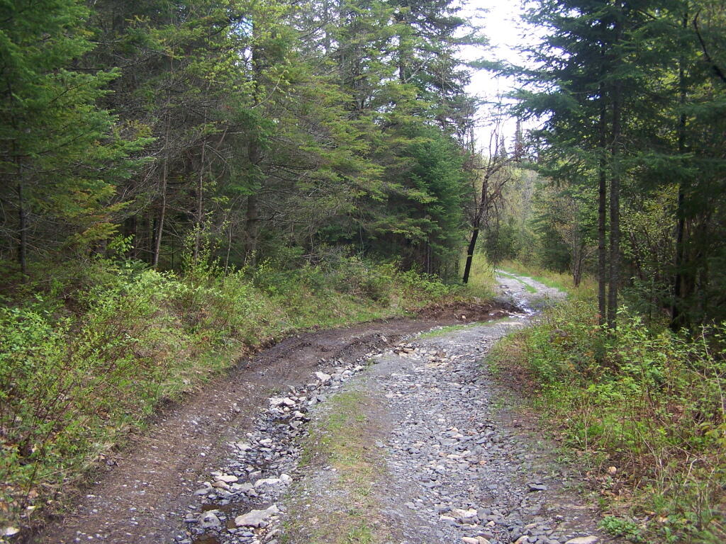
Washed Out Section of Cheney Pond Road

Here is a printable map you can click to see full size then download.

Good morning from camp!

And now down as Cheney Pond…

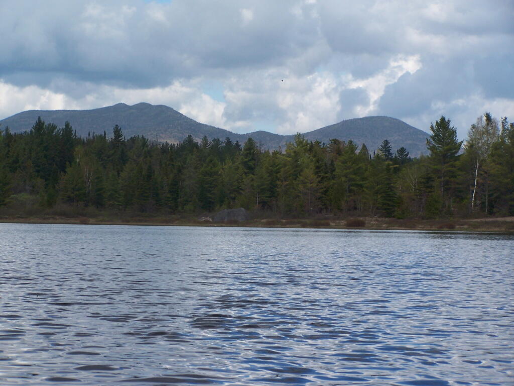
Towards Sand Pond Mountain

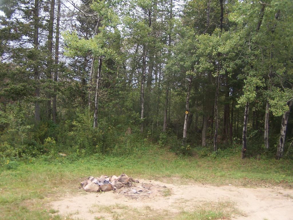
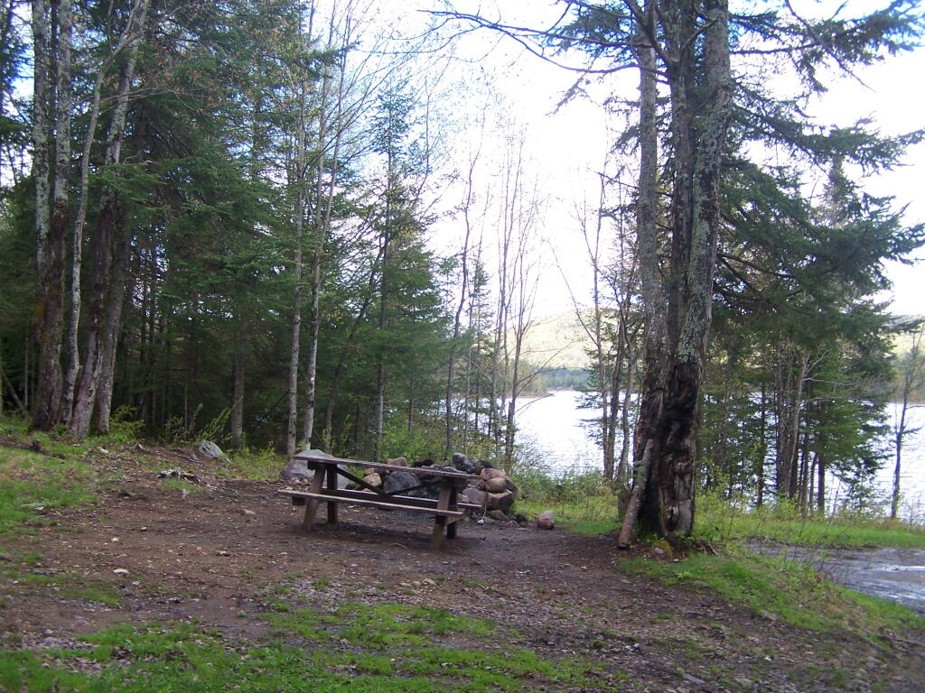
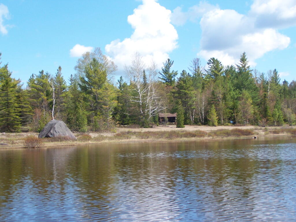
If you want to spend the night, you can roadside camp at a site with a picnic table and outhouse, tent camp at an “informal” campsite with a fire pit near the lean-to or camp in the lean-to. None of the campsites at Vanderwhacker Wild Forest have “Camp Here Disks”.

Road Campsite at Cheney Pond

Cheney Pond Lean-To

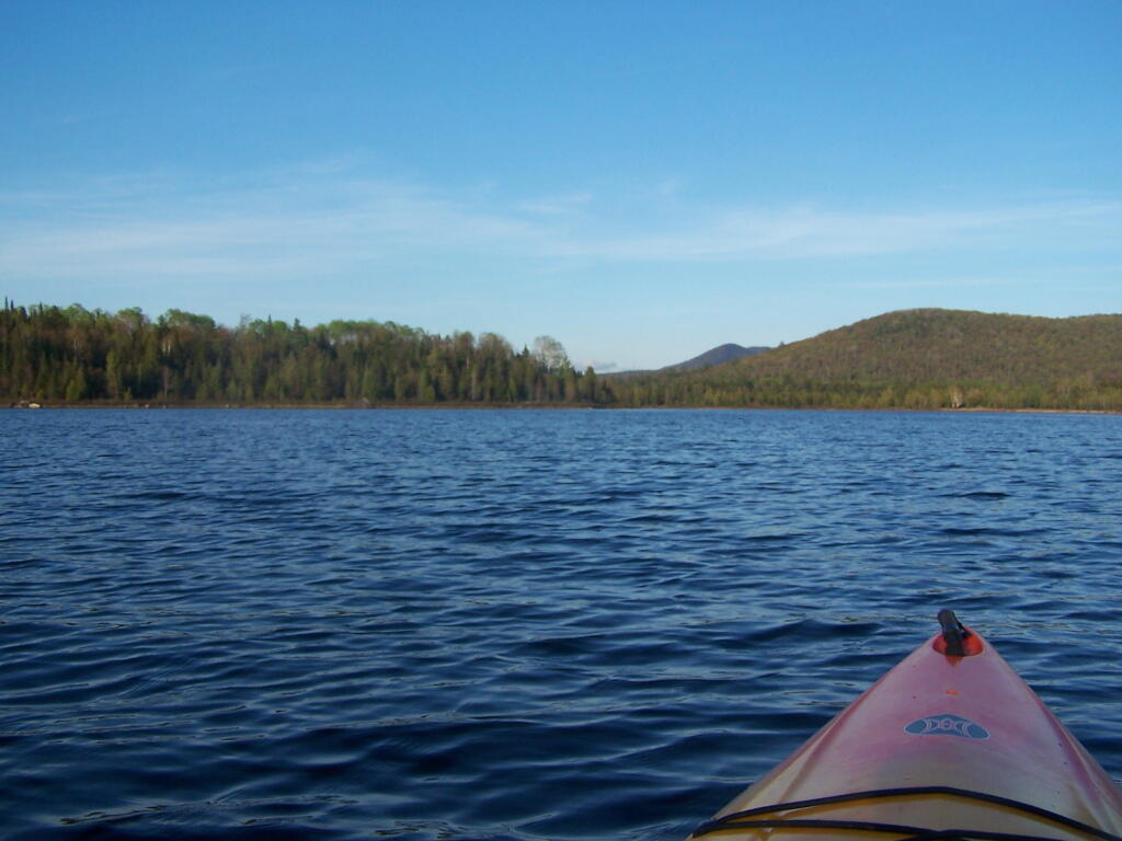
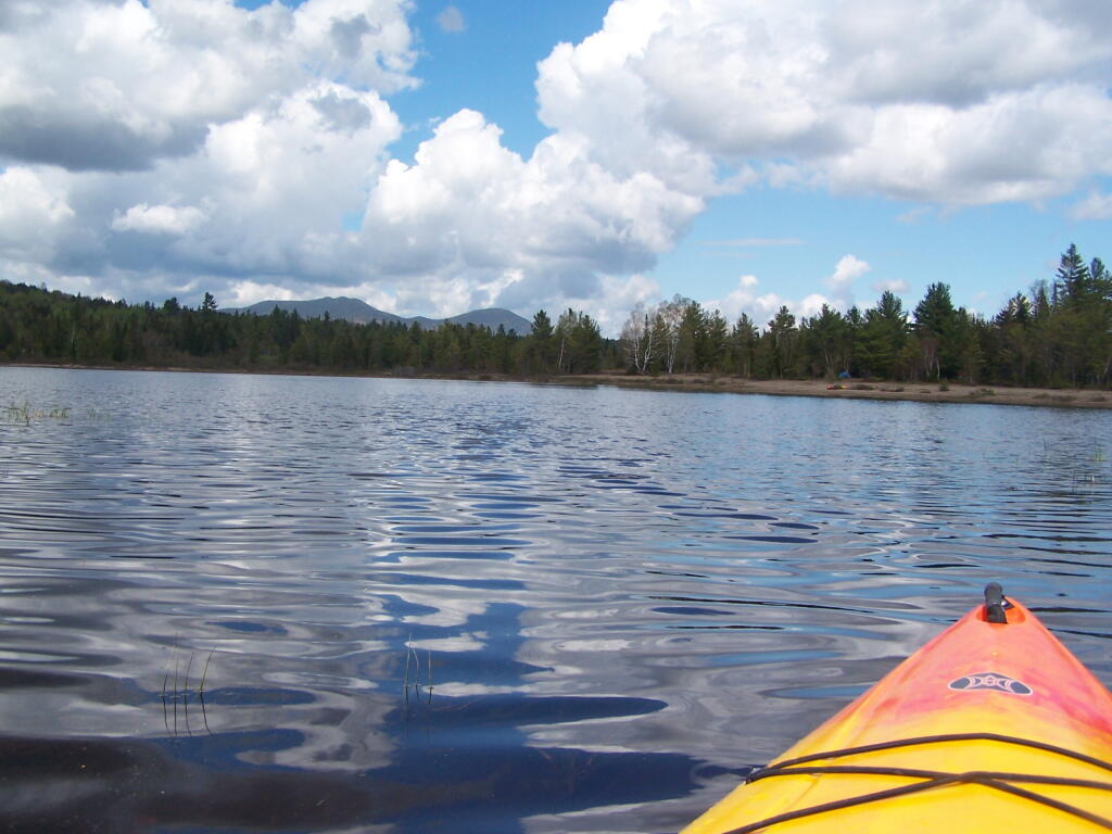
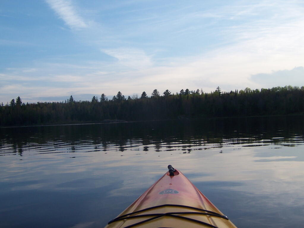
Heading out on the lake in the kayak…

Back Out at Cheney Pond

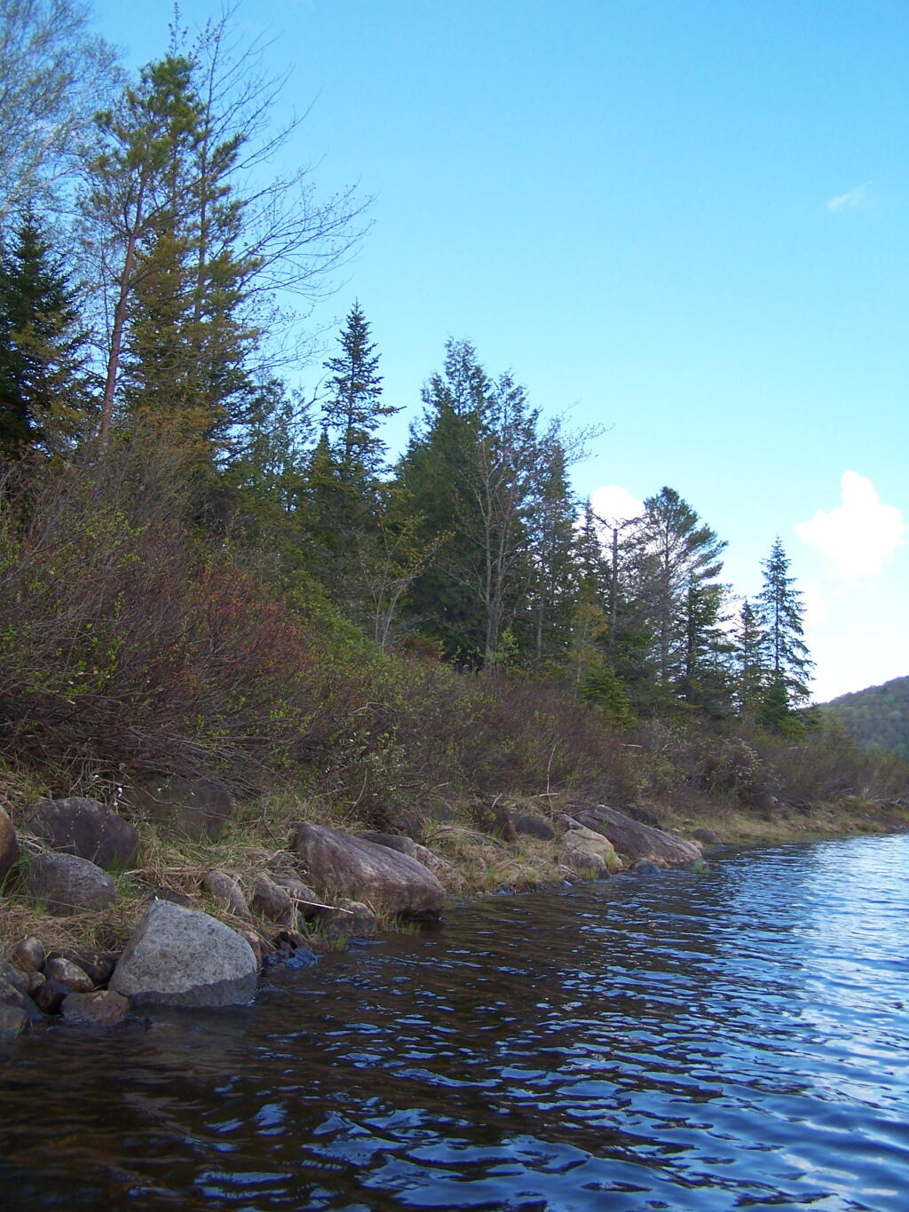
Along Edge of Cheney Pond

Cheney Pond Outlet

Sandy Bank of Cheney Pond

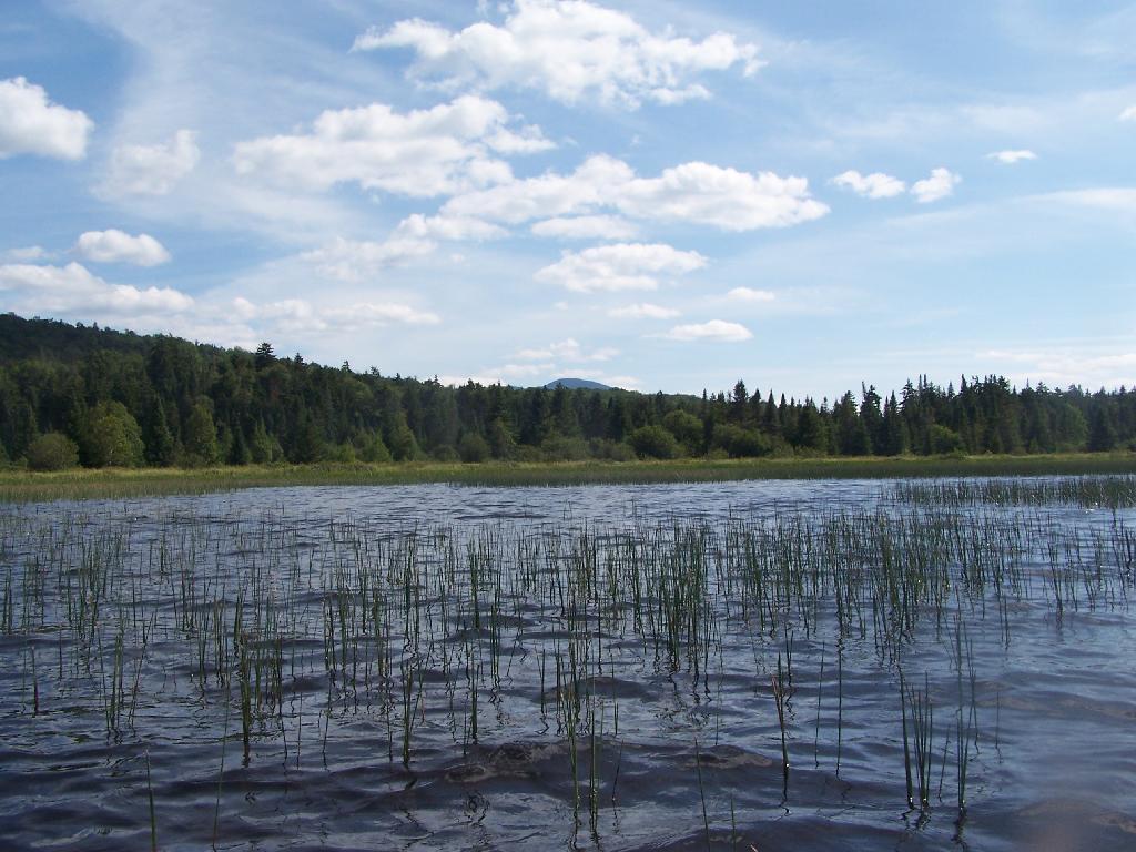
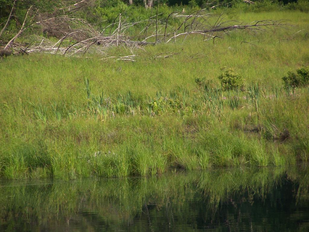
Exploring Marshy End of Cheney Pond

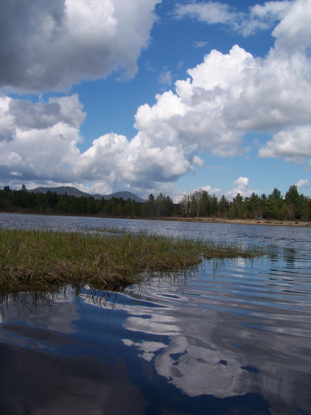
Looking Up at the Clouds

Looking Towards the High Peaks

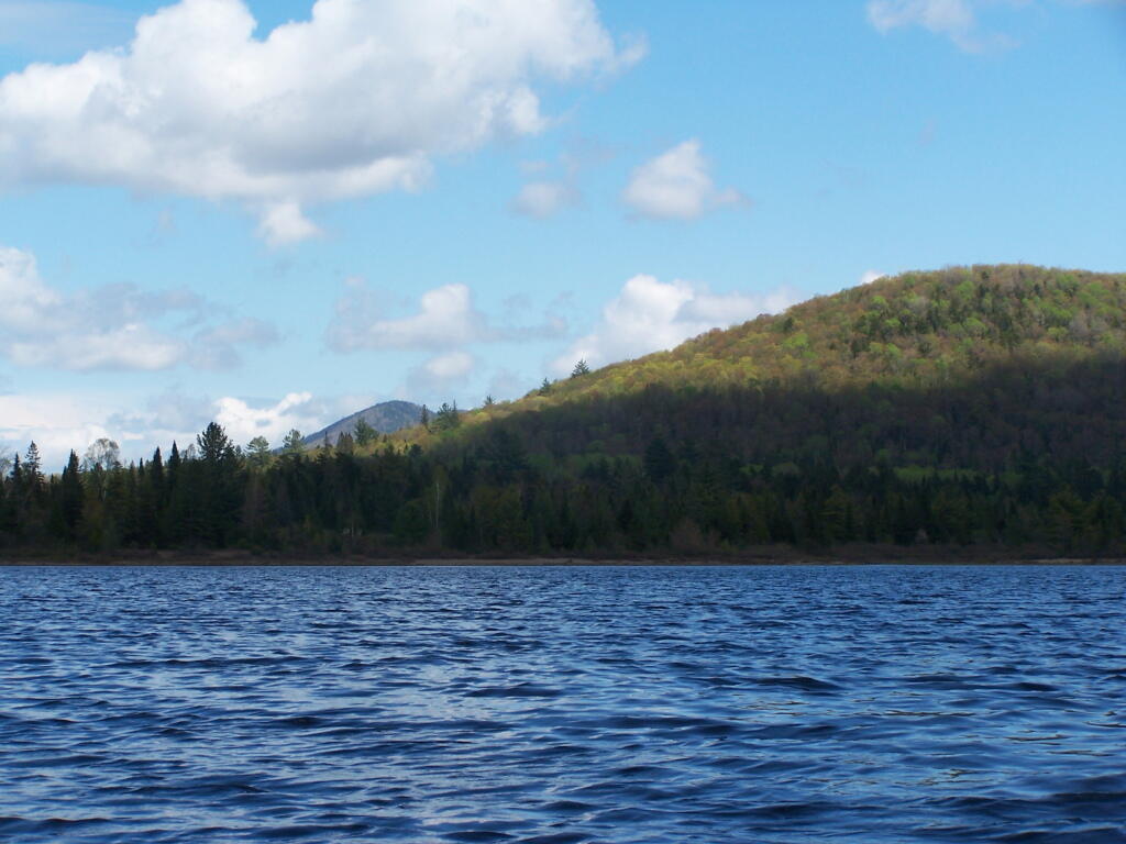
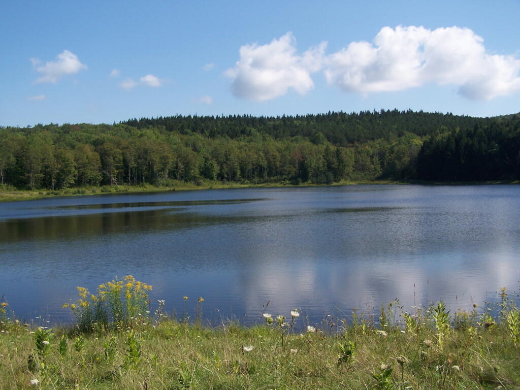
Across Cheney Pond

Back Out at Cheney Pond

Flat Edge of Lester Flow

East on Cheney Pond

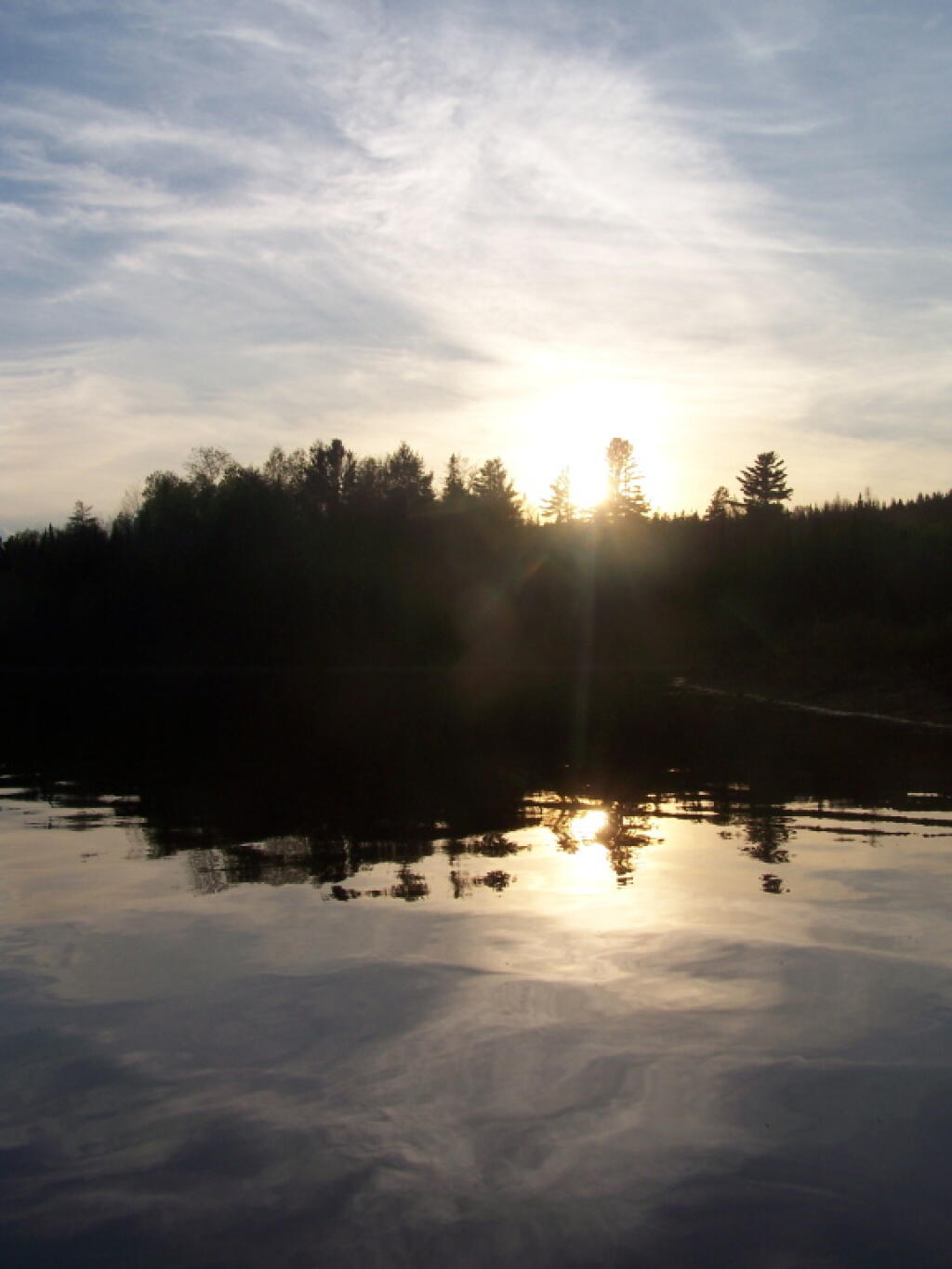
Setting Sun at Cheney Pond

Heading Back As Darkness Approach

Truck Camping in Pictures

In recent months I have done a series of articles about truck camping and my set up. This time I decided to do an article with pictures, showing my set up over the years and some of the equipment I currently use.

My Truck.

Campsite

This picture was taken camping down by Betty Brook in the Burnt Rossman State Forest. This is one of my favorite places for camping. No fancy gear set up here, just unloaded the things I needed from the back, started a campfire, and enjoying the afternoon sunshine on this cold fall afternoon.

Electricity Generation.

Hillcross Farm Parcel now posted as State Forest

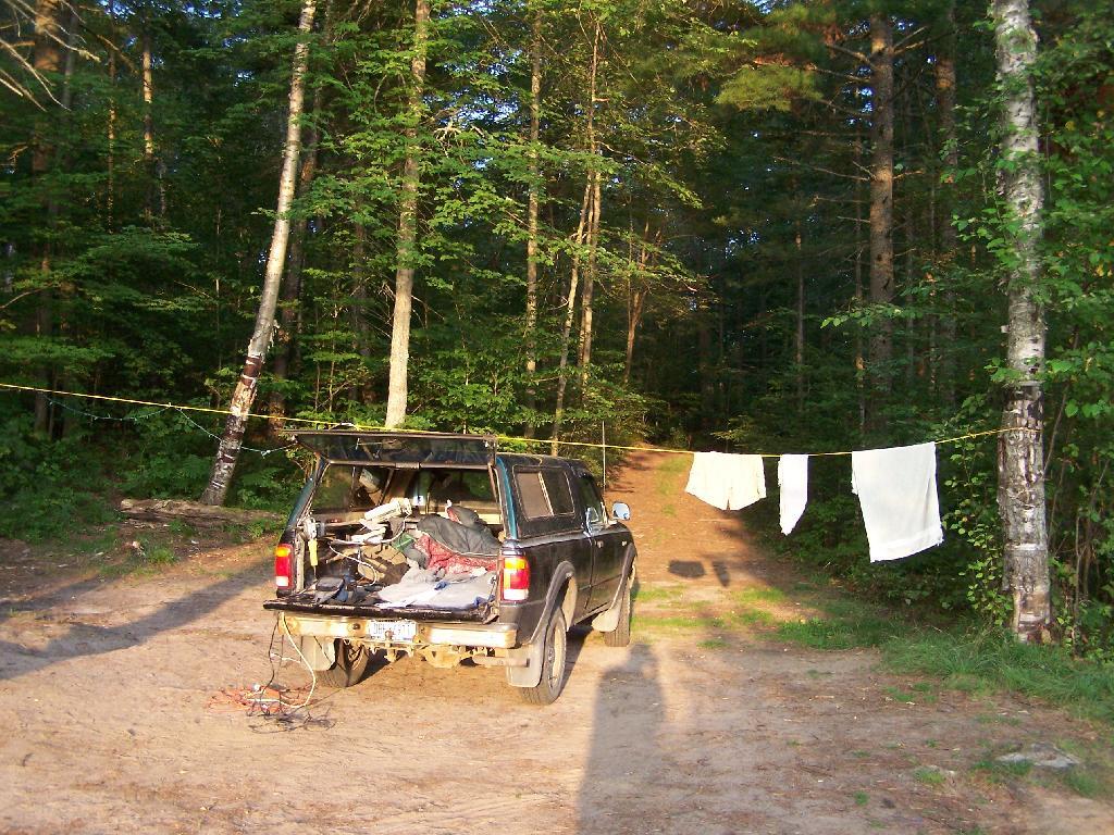
Lanterns are okay for camping in the back country. I however like being able to camp with electrical lighting and small electrical appliances when I am truck camping, as I have a ready source of energy — the truck’s battery. My current inverter (Vector 800-watt inverter) has voltage meter that displays how much power the truck’s battery is putting out, so as it gets lower, I simply just turn on the engine for 10-15 minutes to recharge the battery. At idle speed, especially in summer months, the truck uses minimal gasoline to recharge the battery.

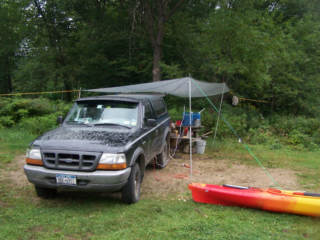
Kayak Tying Down Tarp

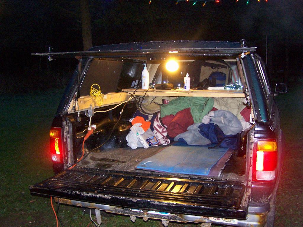
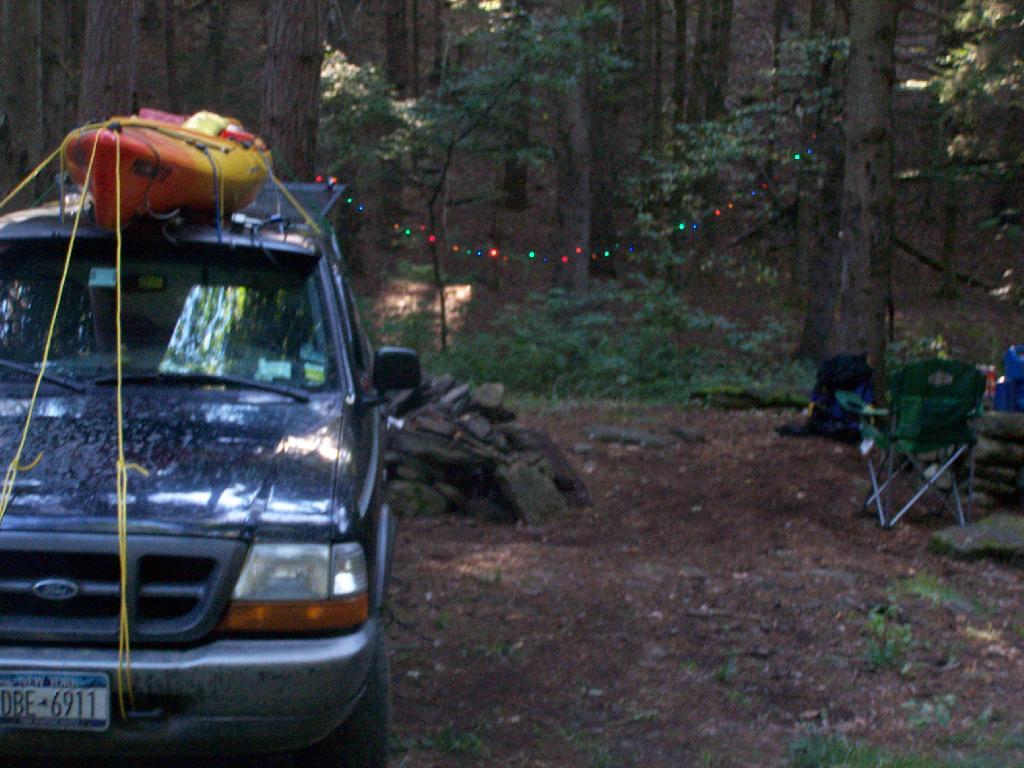
In this picture, you can see the wires coming out of the cab, from the inverter, out to Christmas Lights, and to the regular old power strip I have in the bed of pickup, which provides places to plug in the lead lamps, the alarm clock, more Christmas Lights, and anything else that needs juice like my camera battery charger or even my laptop.

Lighting the Campsite.

Campsite

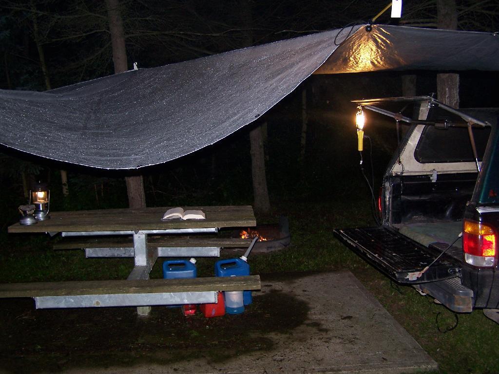
I use a set of 9-watt, 12-watt or 26-watt compact floresecent lamps in conventional lead lamps to light the campsite. I swap out light bulbs depending on my need for light, choosing smaller bulbs to conserve energy whenever possible. These compact lamps put out the equalivent of a 40-watt, 60-watt, or 100-watt conventional light bulb respectively.

Reading in the Rain

The light is largely flicker free, much brighter and higher quality then white-gas lanterns, and is superior for reading. I frequently read late into the night when I am out camping.

Tarp and Polls.

Camping

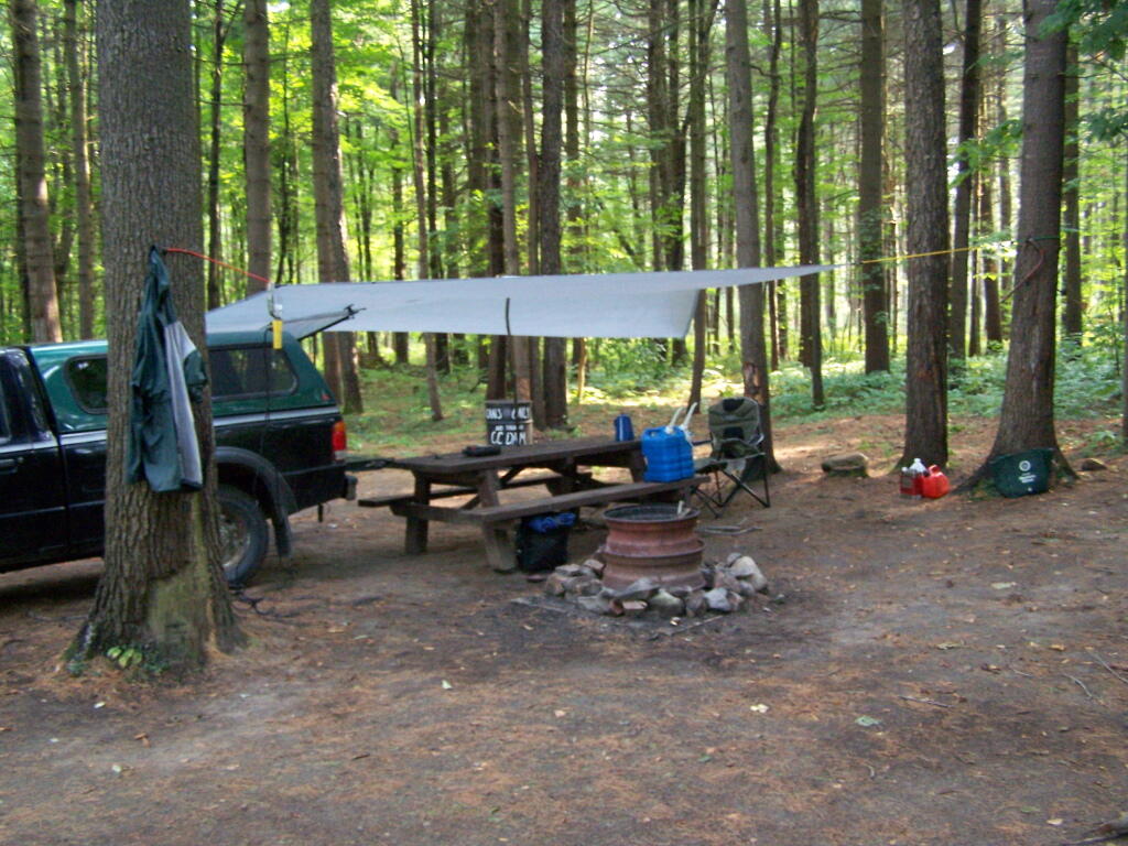
I originally bought this inexpensive tarp from Walmart for privacy while taking “showers” from my portable shower bag. I use it far more to keep the rain off my head on rainy days when camping. Usually it’s just attached to surrounding trees with bungee cords, other times I use a mixture of poles, trees, stakes, and occassionally the kayak.

Camping Down By Otter Brook

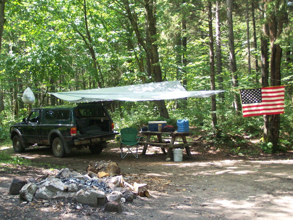
In this picture, the tarp is held up entirely by trees and long bungee cords, when I was camping up at Moose River Plains down by the Otter Brook.

In the Cab


I frequently store one or more plastic tubs in the cab of my truck at night, usually with food and other things that I want to keep away from animals and don’t want back where I am sleeping.

Under the Cap.

Packing Up the Gear

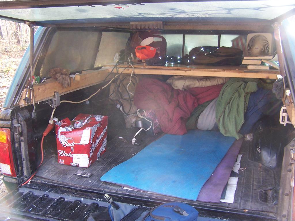
This picture shows some of the wires, camping gear, and box full of beer I had when I was camping up at the Allegheny National Forest.

Camping Set Up

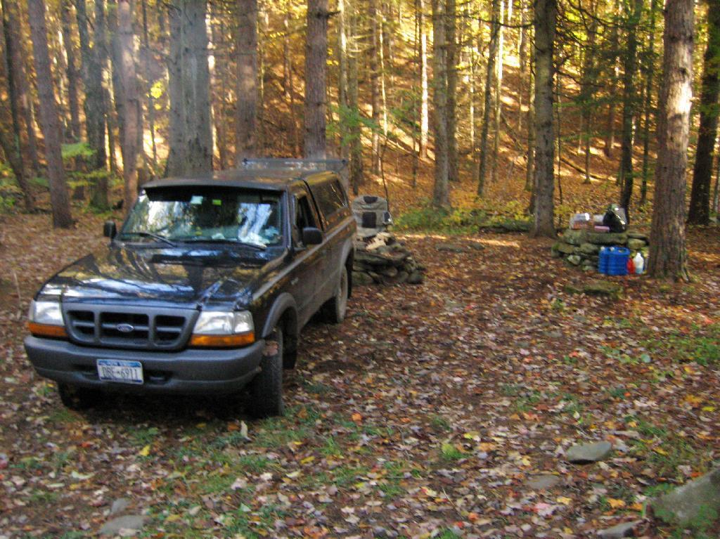
Camping at Sugar Hill, with my wooden table in my pickup, a little bit before the un was up. I have a table lamp up there, and below the table is all the blankets I brought to stay warm this time of year.

Truck Camping

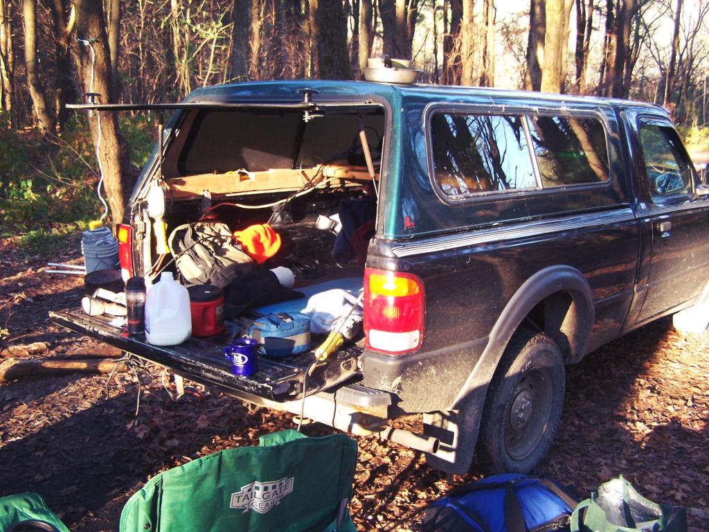
Using my tailgate as a table as I have breakfast when I was camping up at Stoney Pond.

Hanging Out at the Campsite.

Tulip Beds

Camping up on Leonard Hill last summer. The beer is chilling on the bumper, and the campfire in the front, along with Christmas light.

Oil Heating in NY State

Camping up at Allegenheny National Forest. Getting ready and packed up for the morning, burning off some trash before I head out for the day’s events.

Intensive Use Confusion Over Moose River Plains

Recently, the Adirondack Park Agency adopted several changes to Moose River Plains Wild Forest in the master map of the Adirondack Park. One of the biggest changes was to convert an area around Moose River Plains Road and Red River Road into an “Intensive Use Area” known as the “Moose River Plains Camping Area” (MRPCA), to allow campsites to remain that are within 1/4 mile of each other, which otherwise would violate the Adirondack Park Land State Master Plan (APLSMP) for Wild Forest.

The change is pretty slight, described as in Moose River Plains Intensive Use Area Plan (PDF):

“The proposed MRPCA will look very similar to the existing roadside uses in the MRPWF. The sole purpose for proposing the creation of the MRPCA is to allow roadside camping in higher density than can be allowed under wild forest guidelines. Although the APSLMP will recognize this newly created intensive use area as a campground by definition, the overall management goals include protecting the wild character of both the MRPCA and the MRPWF. The Department intends to manage this area in a manner that is much more reflective of wild forest guidelines, with the exception of the camp site separation distance guideline. The management responsibilities for the MRPCA will remain with the Division of Lands and Forests and will be regulated under those parts of NYCRR 6 Part 190 that are applicable to the adjoining wild forest lands. Due to the close relationship between the MRPWF and the MRPCA any future revisions to either UMP will require an assessment of potential impacts on both units and possibly a revision to both UMPs.”

“Unlike other intensive use area campgrounds in the Park, amenities such as bath houses, playgrounds, and paved drives are not ever going to be considered for the MRPCA. What is envisioned for the MRPCA is up to 150 roadside campsites along approximately 20 miles of roads through the MRPWF. These sites will have fire rings,pit privies and picnic tables as their only amenities. Some of these sites are relatively close to the road, while others are several hundred feet back and are accessed by short driveways. A majority of these sites will be comprised of existing sites, some fairly well separated from other sites and some clustered in small groups. This provides for a variety of camping opportunities depending on what users are seeking. Existing sites that are very close to the road may be relocated to a location that provides better screening or may be converted to parking areas with a walk‐in site located a short distance from the parking area. Any newly constructed sites will be located in a manner to provide vegetative screening between the site and the road.”

The confusing part of this comes into the fact these lands will be considered “Intensive Use”, which is essentially a symonym for “DEC Campground” in APLSMP. While few people read APLSMP, many people buy maps and go onto websites to figure out where they are going to camp.

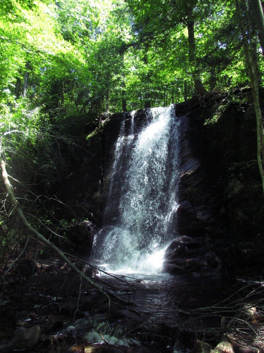
 Cascade Falls

Map makers, especially those not from the Adirondacks will likely fail to distinguish between the Moose River Plains Camping Area, and a more developed campground like that of DEC Campground Limekiln Lake, DEC Campground Eight Lake, or DEC Campground Indian Lake. Indeed, this what concerns the DEC in the MRPCA plan:

“Although use levels within the current MRPWF have been fairly stable for the past several years, the creation of a new area, even if only by name, may initially result in an increase in camping use of the area.”

“The creation of the MRPCA will create some challenges in educating the public as to what to expect within the area. As the area will not charge fees, nor will reservations be taken, users will be arriving at the area without the benefit of knowing what site they may be camping at. Users will need to drive through the area and locate a site that is suitable for their needs. In the unlikely case that no sites are available, users will need to be educated as to what alternatives exist in the general area. Providing information at the two entrance points, Cedar RiverFlow and Limekiln Lake, will be an important part of informing users of the type of opportunity available in the MRPCA. It will also provide an opportunity to provide information on alternative locations should the MRPCA not meet their expectations. Additional information will be made available on the Department’s website and inthe revised unit brochure for the MRPWF.”

If these changes make it to the DEC website it would be helpful…

Yet, we know the DEC often does not put important information on it’s website, and indeed it seems likely the Division of Operations which operates the Limekiln, Eight Lake, and Indian Lake Campgrounds would fight to avoid including a “free” camping area that could directly compete with their $25 a night sites, that offer only minimally nicer ammenities such as centralized trash dumpsters, flush toilets, and showers. Moose River Plains, if promoted by Division of Lands and Forest could canabalize the business of these other campsites.

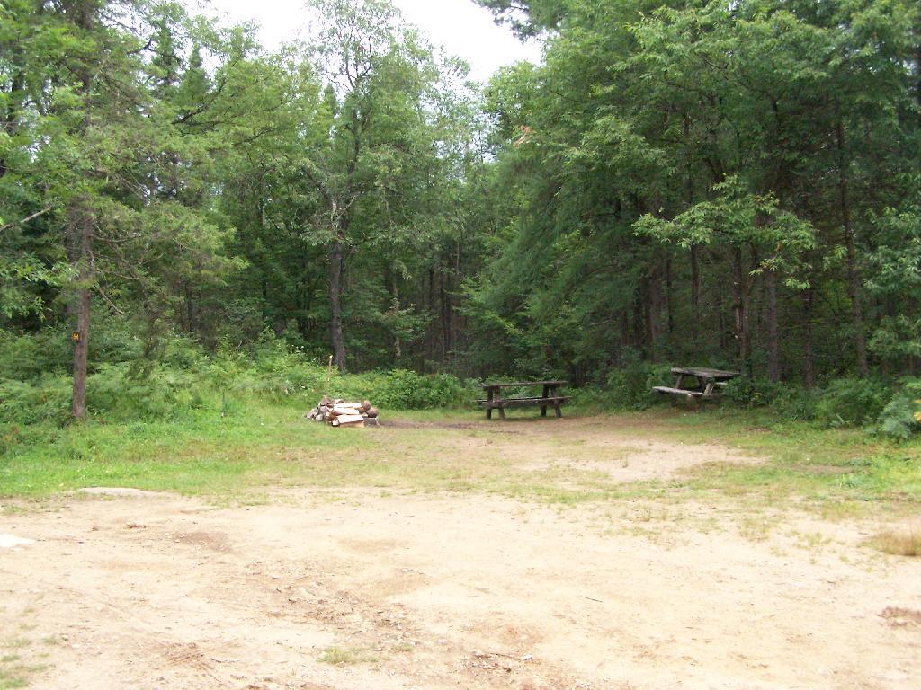
Site 57 in the Plains

People will be in for a surpise if they come up here, looking for an established campground. Roadside campsites are spread out over 20 miles, people are often 30 miles from the nearest gas station. The roads are rough, they can be challenging in places to travel with a car. Without regular patrols and surrounded by vast Wild Forest and Wilderness on four sides, the possibility of people getting lost grows. Already, people get lost up here, but with additional promotion through the name change — and the attraction to those unfamiliar with the Adirondack tradition of roadside camping, it’s only asking for trouble.

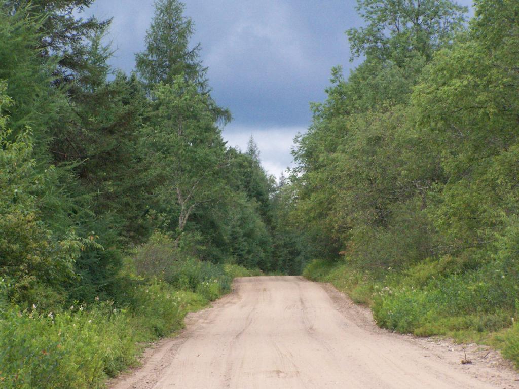
Thunderstorm Coming to the Plains

The changes to the Moose River Wild Forest may be needed to keep the majority of the camping sites open and compatible with the APSLMP, but it seems as though converting Moose River Plains Road to Intensive Use, and indicating it on maps as such, only will lead to more confusion.

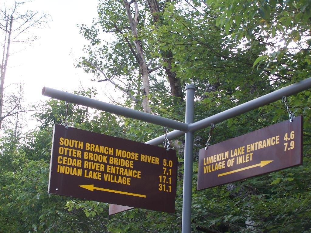
Only 31 Miles to Indian Lake

The state should instead admend the Adirondack Park Master Plan:

  1. Make existing “road-side” legacy campsites less then 1/4 mile separation legal.
  2. Require only new campsites that are developed to have the 1/4 mile separation.

Eminence State Forest History

From the Eminence State Forest Unit Management Plan

Early settlers were subsistent farmers, relying on the land for the majority of their needs. Evidence of the difficulties associated with clearing the fields can still be seen. The ubiquitous stone walls were built from stones laboriously cleared from fields to make them tillable. Dairy farming was an important activity for the early farmers, with excess milk being shipped to cities in the form of butter. Early crops no longer grown in this area included wheat, tobacco and hops.In 1875, Schoharie County was the fourth largest producer of hops in the State. Hops were said to exhaust soil rapidly and by the late 1800’s, hop production was in rapid decline.

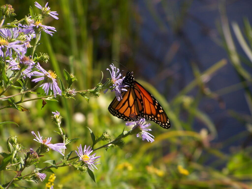
 Butterfly

Forests not cleared for farmland were used for many purposes. Potash and charcoal production were two early farm industries that made use of hardwood forests. Potash was used locally and also shipped to Europe. Charcoal was used in blacksmith shops, tin shops and iron foundries located in every town.

Hemlock was cut for its bark. Tannin extracted from the bark was used in the leather tanning industry. In 1840, there were l4 tanneries in the county. Large tanneries in Gilboa were obtaining bark from the area of the Eminence Management Unit. In addition to its use in the local tanneries, large quantities of tannin were shipped to Europe.

Rossman Fly Road

Other wood based industries included sawmills, shingle mills, cooper shops, wood tool factories and a paper mill. There were mills of various types on Betty Brook, West Kill, Panther Creek, Doney Hollow Creek, Mill Creek, and their tributaries. Portions of these streams are located on the Eminence Management Unit. Early settlers, up to the late l800’s, could not own the land they worked.

This “Patroon” system probably resulted in heavy cutting of the forests because the renters had little interest in the future of their lands. With the widespread cutting taking place, probably every acre of the present day Eminence Management Unit had been cut by the late 1800’s.

The Campsite

Fish and wildlife populations were also decimated during this period. The wild turkey, beaver,black bear, wolf, eagle, and white-tail deer were all extirpated from Schoharie County in the 19th and early 20th century. Stream habitat for native trout and other fish was also damaged by pollution from industry and agriculture. Fish and game laws which established seasons and size limits were non-existent for most of the 19th century.

From the very beginning, these were only marginal farms. By the mid 1800’s, the poor soils of some of these hill top farms had been exhausted, and farms were being abandoned. By l930, large tracts of farmland had been abandoned.In 1931, under the State Reforestation Law, the State began acquisition of some of these abandoned farmlands. Most of these early purchases were for about $4.00 per acre and by l940, land acquisition in the Eminence Management Unit essentially ended.

Rough Lower Section of Burnt Hill Road

In the Spring of l93l, State crews began planting tree seedlings on the open land. A Civilian Conservation Corps camp was established in 1934 at Boucks Falls and the CCC’s joined State Forest crews planting trees. To date, over 6 million trees have been planted on the Eminence Management Unit. Other early projects included timber stand improvement, stream improvement and protection,construction of truck roads, seed collection for the State tree nursery, forest insect and disease control projects and construction of fencing between State and private lands.

Fire Hazard Reduction (FHR) was another project. FHR included construction of water holes, clearing roadsides of slash, building fire breaks around newly established plantations and slash reduction in heavily cut over natural stands.When the State acquired these lands, the previous owners usually reserved cutting rights. They had up to two years to cut any trees down to a six inch stump diameter. As a result of this logging, and other cutting that took place in the decade before the State acquired the land, there was little timber of any value present. Broken and deformed trees were all that was left in the majority of the forested areas.

Marshy Edge of Duck Pond

There were few sales of forest products until the mid 1950’s because of the poor condition of natural forests and the small size of the planted trees. Significant sales did not begin until the 1970’s. To date, about 2 1/2 million board feet of saw timber, 22,000 cords of firewood and 67,000 cords of pulpwood have been sold for a total revenue to the State of over one million dollars. About two-thirds of this revenue came from the plantations which comprise about one-third of the Eminence Management Unit. In the mid 1980’s, harvesting and replanting of mature red pine stands was begun.

The Department of Correction Youth Camp was constructed around 1960 on State lands in the Town of Fulton near Summit. This recently became the Summit Shock Incarceration Camp. Projects accomplished by inmates on State Forests include forest road maintenance, wildlife habitat improvement, stream improvement, recreational trail construction and maintenance, timber stand improvement, tree planting and cone collection for the State tree nursery.Land acquisitions in the 1960’s through the 1980’s improved access to the Eminence Management Unit, enhanced recreational opportunities, provided additional protection for the streams on the unit and consolidated the unit with the acquisition of interior parcels. Six of the State Forests on this unit now contain over 12,000 acres of contiguous public ownership. This large block of public land will become even more valuable in the future, considering recent trends toward subdividing adjacent private lands.

Mallet Pond

Many of the wildlife species that were once extirpated have returned to the area. Their recovery can be attributed to the restoration of natural habitat and the enforcement of hunting and fishing regulations. Now that fish and game are once again abundant, the state lands have become very popular areas for fishing and hunting pursuits.

Land Use Classifications in Adirondack Forest Preserve

These definations are from the Adirondack Park State Land Master Plan.

‘ ?>


View Larger Map ‘ ?>

Wild Forest.

A wild forest area is an area where the resources permit a somewhat higher degree of human use than in wilderness, primitive or canoe areas, while retaining an essentially wild character. A wild forest area is further defined as an area that frequently lacks the sense of remoteness of wilderness, primitive or canoe areas and that permits a wide variety of outdoor recreation.

Towards Indian Lake

To the extent that state lands classified as wild forest were given or devised to the state for silvicultural or wildlife management purposes pursuant to statutory provisions specifying that these lands will not form part of the forest preserve (if such provisions are constitutional), the following guidelines are not to be interpreted to prevent silvicultural or wildlife management practices on these lands, provided that other guidelines for wild forest land are respected.

Those areas classified as wild forest are generally less fragile, ecologically, than the wilderness and primitive areas. Because the resources of these areas can withstand more human impact, these areas should accommodate much of the future use of the Adirondack forest preserve. The scenic attributes and the variety of uses to which these areas lend themselves provide a challenge to the recreation planner. Within constitutional constraints, those types of outdoor recreation that afford enjoyment without destroying the wild forest character or natural resource quality should be encouraged.

Many of these areas are under-utilized. For example the crescent of wild forest areas from Lewis County south and east through Old Forge, southern Hamilton and northern Fulton Counties and north and east to the Lake George vicinity can and should afford extensive outdoor recreation readily accessible from the primary east-west transportation and population axis of New York State.

Snowy Mountain

Wilderness.

A wilderness area, in contrast with those areas where man and his own works dominate the landscape, is an area where the earth and its community of life are untrammeled by man–where man himself is a visitor who does not remain.

A wilderness area is further defined to mean an area of state land or water having a primeval character, without significant improvement or permanent human habitation, which is protected and managed so as to preserve, enhance and restore, where necessary, its natural conditions, and which:

(1) generally appears to have been affected primarily by the forces of nature, with the imprint of man’s work substantially unnoticeable;

(2) has outstanding opportunities for solitude or a primitive and unconfined type of recreation;

(3) has at least ten thousand acres of contiguous land and water or is of sufficient size and character as to make practicable its preservation and use in an unimpaired condition; and (4) may also contain ecological, geological or other features of scientific, educational, scenic or historical value.

Crane Pond from Pharaoh Mountain

Significant portions of the state lands within the Park are in a wilderness or near-wilderness condition today. These areas constitute nearly 20% of all designated federal and state wilderness east of the Rocky Mountains and 85% of the designated wilderness in the eleven northeastern states. At the time of the original enactment of this master plan, a majority of these areas contained some structures and improvements or were subjected to uses by the public or by official personnel that were incompatible with wilderness. However, the extent of these non-conforming uses was very modest from the standpoint of the total acreage involved. Since 1972 all but a few of those non-conforming uses have been removed by the Department of Environmental Conservation.

Gothics

Primative Area.

A primitive area is an area of land or water that is either:

1. Essentially wilderness in character but, (a) contains structures, improvements, or uses that are inconsistent with wilderness, as defined, and whose removal, though a long term objective, cannot be provided for by a fixed deadline, and/or, (b) contains, or is contiguous to, private lands that are of a size and influence to prevent wilderness designation; or,

2. Of a size and character not meeting wilderness standards, but where the fragility of the resource or other factors require wilderness management.

Northeast Tip

The definition recognizes two basic types of primitive areas: (i) where the ultimate goal is clearly to upgrade the area to wilderness at some future time, however distant, when the non-conforming uses can be removed and/or acquisition of private tracts is accomplished, and, (ii) where eventual wilderness classification is impossible or extremely unlikely.

An example of the first type would be the existence of a fire tower and associated structures and improvements (observer cabins, telephone lines, etc.) whose precise date of removal cannot be ascertained until the new aerial surveillance program of the Department of Environmental Conservation is fully implemented and communication systems modernized. Another example would be a private or minor public road traversing a tract otherwise suitable for wilderness designation or separating such an area from a designated wilderness. Finally, an extensive private inholding or a series of smaller private inholdings whose eventual acquisition is desirable but cannot now be provided for, might so affect a potential wilderness area as to require primitive designation.

Lows Ledge

The second type includes smaller tracts that are most unlikely to attain wilderness standards, such as a small island in close proximity to a highly developed shoreline, or larger tracts with non-conforming uses, such as a railroad or major public highway, that are essentially permanent, but where in each case the high quality or fragility of the resource requires wilderness management.

The definition recognizes two basic types of primitive areas: (i) where the ultimate goal is clearly to upgrade the area to wilderness at some future time, however distant, when the non-conforming uses can be removed and/or acquisition of private tracts is accomplished, and, (ii) where eventual wilderness classification is impossible or extremely unlikely.

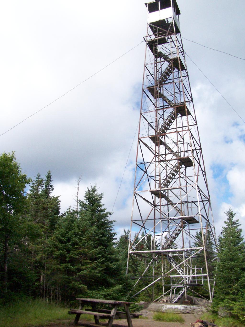
Wakley Fire Tower

An example of the first type would be the existence of a fire tower and associated structures and improvements (observer cabins, telephone lines, etc.) whose precise date of removal cannot be ascertained until the new aerial surveillance program of the Department of Environmental Conservation is fully implemented and communication systems modernized. Another example would be a private or minor public road traversing a tract otherwise suitable for wilderness designation or separating such an area from a designated wilderness. Finally, an extensive private inholding or a series of smaller private inholdings whose eventual acquisition is desirable but cannot now be provided for, might so affect a potential wilderness area as to require primitive designation.

The second type includes smaller tracts that are most unlikely to attain wilderness standards, such as a small island in close proximity to a highly developed shoreline, or larger tracts with non-conforming uses, such as a railroad or major public highway, that are essentially permanent, but where in each case the high quality or fragility of the resource requires wilderness management.

Lows Ledge

Canoe Area.

A canoe area is an area where the watercourses or the number and proximity of lakes and ponds make possible a remote and unconfined type of water-oriented recreation in an essentially wilderness setting.

The terrain associated with parcels meeting the above definition is generally ideally suited to ski touring and snowshoeing in the winter months.

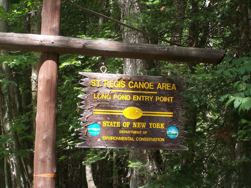
Long Pond Entrance