All figures are in acres except where noted. Table updated April 2011. Reprinted from the DEC Website.
Land Classification
Region
1
Region
2
Region
3
Region
4
Region
5
Region
6
Region
7
Region
8
Region
9
Catskill
Park Total
Adirondack
Park Total
State
Total
Percent of Total
State Land and
Conservation
Easements
State Forest
16,056
758
31,763
102,248
58,354
221,924
200,419
55,581
99,121
–
16,264 **
786,224
17%
Forest
Preserve
Wilderness
–
–
89,352
53,482
954,601
206,151
–
–
–
142,834
1,160,752
1,303,586
28%
Wild Forest
–
–
75,588
60,368
938,664 **
367,123
–
–
–
135,956
1,305,787
1,441,743
31%
Primitive
–
–
–
–
31,309
15,704
–
–
–
–
47,013
47,013
1%
Primitive Bicycle
Corridor
–
–
15
283
–
–
–
–
–
298
–
298
0.006%
Canoe
–
–
–
–
18,989
–
–
–
–
–
18,989
18,989
0.4%
Intensive Use
–
–
4,104
1,542
21,591
1,828
–
–
–
5,646
23,419
29,065
0.6%
Administrative
–
–
392
0 ***
384
7
–
–
–
392
391
783
0.02%
Historic
–
–
–
–
531
–
–
–
–
–
531
531
0.01%
Pending
Classification
–
–
–
–
259
111
–
–
–
–
370
370
0.007%
Under Water*
(Unclassified)
–
–
–
–
17,395
6,534
–
–
–
–
23,929
23,929
0.5%
Detached
Parcel
–
–
1,382
4,141
1,441
4,318
–
–
–
–
–
11,282
0.2%
Total Forest Preserve
–
–
170,833
119,816
2,001,313
601,776
–
–
–
285,126
2,597,267
2,893,738
61%
Wildlife Management Area
6,007
–
12,021
18,518
6,524 **
46,371
49,562
41,462
17,178
407 ***
2,755 **
197,643
4%
Conservation Easement
108
21
7,264
7,286
488,463
336,783
436
–
10
9,437
769,579
840,371
18%
TOTALS:
22,171
779
221,881
247,868
2,554,654
1,206,854
250,417
97,043
116,309
294,970
3,385,865
4,717,976
100%
Notes from the DEC.
* Certain lake beds are considered Forest Preserve, despite some level of private ownership adjacent to the lakes. These underwater lands are not classified. For the purposes of this table, however, lakes and ponds that are completely surrounded by Forest Preserve have been classified the same as the adjacent land.
** Where State Forests and Wildlife Management Areas exist within the Adirondack Park, the Adirondack Park State Land Master Plan also classifies these lands as Wild Forest. However, since these lands are not Forest Preserve, State Forest and Wildlife Management Area acreages within the Adirondack Park were NOT included in the Wild Forest category.
*** Where Wildlife Management Areas exist within the Catskill Park, the Catskill Park State Land Master Plan also classifies these lands as Administrative. For calculation purposes in this table, however, Wildlife Management Area acreage within the Catskill Park was NOT also included in the Administrative category.
I am concerned about what the Occupy Movement means for our public parks. Public parks are the commons in our society, the places where anybody may go to gather and to recreate. Public parks belong to us all, therefore private individual organizations must not be allowed to have exclusive use to them.
Inherit in the concept of a public park is that man is just a visitor, and that nobody resides there permanently. Parks are places where men dwell only temporarily for fellowship or solitude, it is an escape from the private places we normally reside in.
When kayaking on a lake or hiking a mountain, one may stop to enjoy the view. You only stop for a few minutes to enjoy the view, and then you move on. Your experience is non-exclusive, anyone can walk by when your there, or come by five minutes after you’ve left in solitude. Laws prevent you from building a house or setting up long-term residency there, you must move on an allow others to see what you once saw.
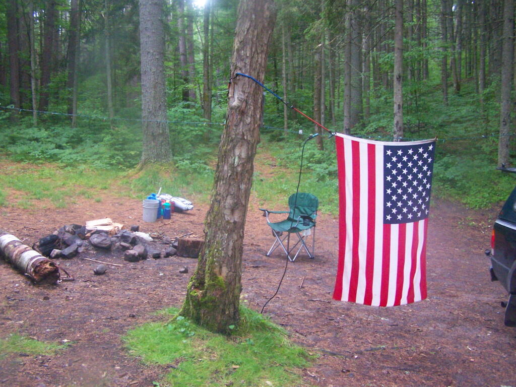
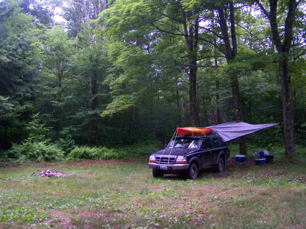
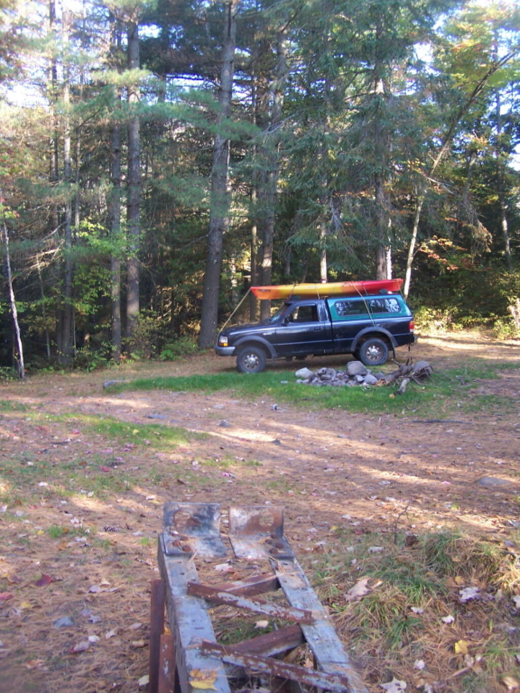
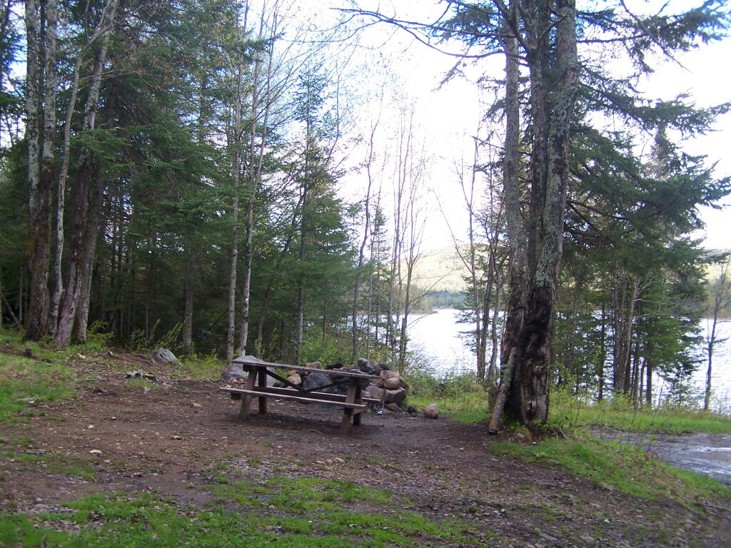
Campsites are same way. Whether in a DEC Campground or a back-country site, one can only set up a campsite and camp there for a set amount of time. Typically this is limited to two weeks except during Big Game Season. When your time is up, you must pack up your gear, and leave the site cleaner then you have found it.
When your camping, a campsite becomes your temporary place of residency. You unpack your gear, you make a fire, you set up your tent. You cook your meals there, you camp there, and you probably do your business in an outhouse or in woods a short ways from there. For all purposes, you live there and campsite is like your house for a short period of time.
A campsite is never an exclusive site. Campsites can get elaborately set up, with lots of canopies, tents, lanterns and other gear. Some people hang Christmas lights and drive in large RVs to campsites. You may dwell there for a while but after a number of days you must pack up and leave. Others may then use your campsite, enjoy the views and benefits the public lands provide for all that wish to use them.
Public parks are excellent places for individuals and groups to get together and discuss public business. They are good places to get together and protests. Many parks are large, and can accommodate large groups of people. Many parks are appropriate for camping and other recreational pursuits.
Yet, we can not allow any individual or group to remain in a park for too long of a period. Individuals must remain visitors, those who come only for a short period of time to enjoy the land in solitude or fellowship. Two weeks, needs to remain the maximum use for a piece of land, except in very narrow exception.
… Allowing people to stay too long in a park, only serves to undermine the concept of public lands and the commons.
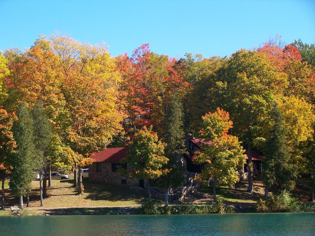
Today’s fodder is based on the text of as Adirondack Park Land Acqusition Policy, as described in the Adirondack Park State Land Master Plan. I added the headings and pictures to make it more readable. — Andy
The Agency has an important interest inr future state land acquisitions since they can vitally affect both private and public land within the Adirondack Park. As a result the Agency recommends that the following guidelines should govern future acquisitions of state lands within the Park…
State Should Only Acquire
Adirondack Park Land for Forest Preseve.
1. Future state acquisitions within the Adirondack Park should generally be restricted to the acquisition of forest preserve lands. Where special state purposes are such that non-forest preserve land might be acquired (if such acquisitions are constitutionally permissible) the amount acquired for other than forest preserve purposes should be kept to the minimum necessary. Thus, should the state acquire a 100-acre tract on which it wished to place a hospital, a prison, an office building or another facility only that part of the tract, say twenty-five acres, that is actually necessary for the facility should be classified as non-forest preserve.
Reasons Not To Acquire Land.
2. As a general guideline, the state should avoid acquiring lands for non-forest preserve purposes (if such acquisitions are constitutionally permissible) within the Park where:
— the tract is not contiguous to a public highway; or,
— the tract is of a native forest character, i.e., stocked with any size, native tree species with twenty-five percent crown cover (plantations are not considered to be native forest land); or,
— the tract involved consists of more than 150 acres; or,
— the tract is contiguous to existing forest preserve land; or,
— the tract is within one-half mile of a block of forest preserve land of over 1,000 acres; or,
— the tract lies at an elevation greater than 2,500 feet; or,
— the proposed use of the tract will materially alter the surrounding environment; or,
— the tract is of significant scenic, ecological or geologic value or interest.
New Intensive Uses Should Be Restricted
to Private Companies and Individuals.
3. Save for (i) the two existing alpine skiing centers at Whiteface and Gore mountains and the Mt. Van Hoevenberg area; (ii) rustic state campsites, a long accepted intensive use of the forest preserve; (iii) visitor information centers, memorial highways, beaches and boat launching sites; and (iv) historic areas (guidelines for which are provided elsewhere in this master plan), the state should rely on private enterprise to develop intensive recreational facilities on private lands within the Park, to the extent that the character of these lands permits this type of development, and should not acquire lands for these purposes.
Lands Most Desirable to Add to Forest Preserve.
4. Highest priority should be given to acquiring fee title to, fee title subject to a term of life tenancy, or conservation easements providing public use or value or rights of first refusal over,
(i) key parcels of private land, the use or development of which could adversely affect the integrity of vital tracts of state land, particularly wilderness, primitive and canoe areas and
(ii) key parcels which would permit the upgrading of primitive areas to wilderness areas.
Preference for Consolidation of State Parcels of Land.
5. High priority should also be given to acquisitions of fee title which permit the consolidation of scattered tracts of state land.
Protection of Deer Wintering Habitats.
6. Fee title or appropriate conservation easements should also be acquired to protect critical wildlife areas such as deer wintering areas, wetlands, habitats of rare or endangered species or other areas of unique value, such as lands bordering or providing access to classified or proposed wild, scenic and recreational rivers.
Protection of Scenic Vistas.
7. Efforts should be made, by conservation easement or fee acquisition, to protect the major scenic resources of the Park along travel corridors, with particular attention to the Adirondack Northway and those scenic vistas specifically identified on the Private Land Use and Development Plan Map and listed in Chapter III of this document.
Obtaining Right-of-Ways to Public Lands.
8. The acquisition of fee title to or rights-of-way across private lands that effectively prevent access to important blocks of state land should be pursued, except where such acquisition would exacerbate or cause problems of overuse or inappropriate use of state lands.
Obtaining Canoe water Right-of-Ways.
9. Canoe route easements should be purchased to reopen Adirondack canoe routes for non-motorized access in appropriate areas of the Park.
Obtaining Fishing Right Easements.
10. The highly successful fishing rights easement purchase program of the Department of Environmental Conservation should be continued and expanded on appropriate streams.
Avoid Purchases of Highly Productive Timber Stands,
Consider Conservation Easements for Timber Stands.
11. Due to the importance of the forest products industry to the economy of the Adirondack region, bulk acreage purchases in fee should not normally be made where highly productive forest land is involved, unless such land is threatened with development that would curtail its use for forestry purposes or its value for the preservation of open space or of wildlife habitat. However, conservation easements permitting the continuation of sound forest management and other land uses compatible with the open space character of the Park should be acquired wherever possible to protect and buffer state lands.
Adirondack Park Agency Prohibited from Reviewing Land Purchases Prior to Purchase.
While the Agency has not been given authority to review proposed acquisitions before title has vested in the state, once new lands have been acquired the Act requires the master plan to be revised by classifying the lands and setting guidelines for their management and use pursuant to the statutory procedures (consultation with the Department of Environmental Conservation and submission to the Governor for approval). The following procedures for revisions of the master plan will be followed in connection with new acquisitions:
— land acquisitions should be classified as promptly as possible following acquisition and in any case classification of new acquisitions will be done annually; and,
— prior to classification by the Agency, lands acquired by the Department of Environmental Conservation or any other state agency will be administered on an interim basis in a manner consistent with the character of the land and its capacity to withstand use and which will not foreclose options for eventual classification.
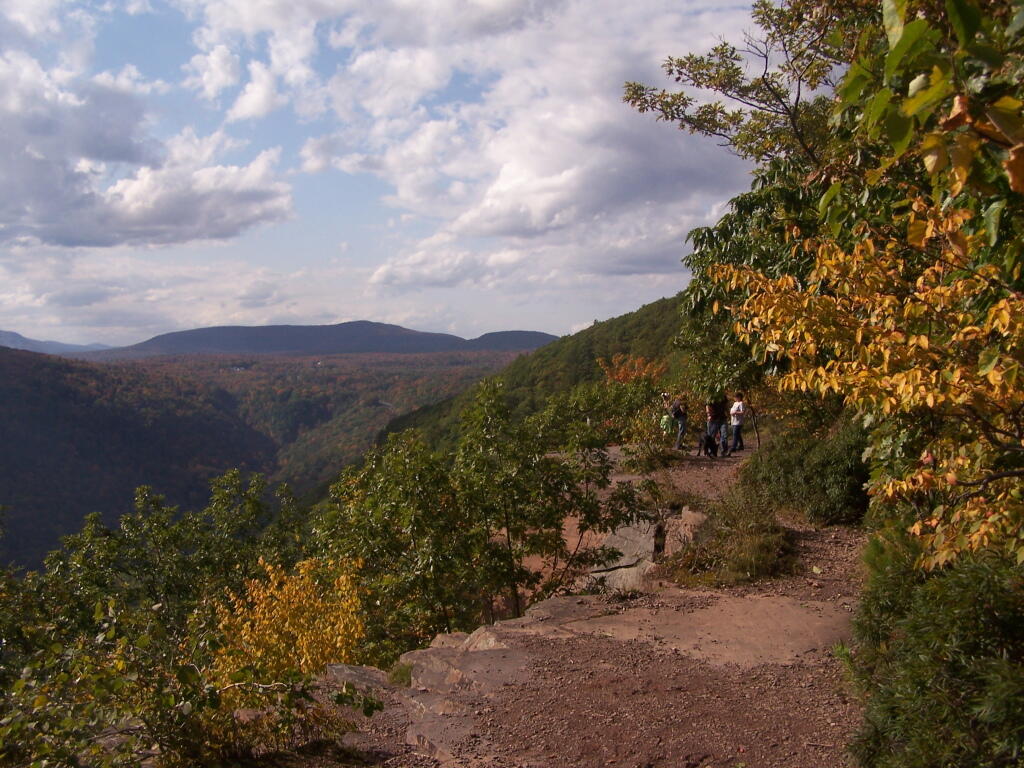
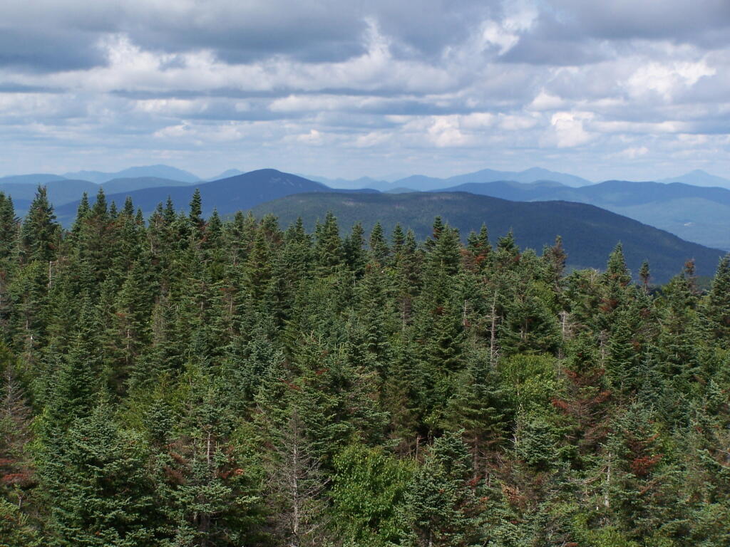
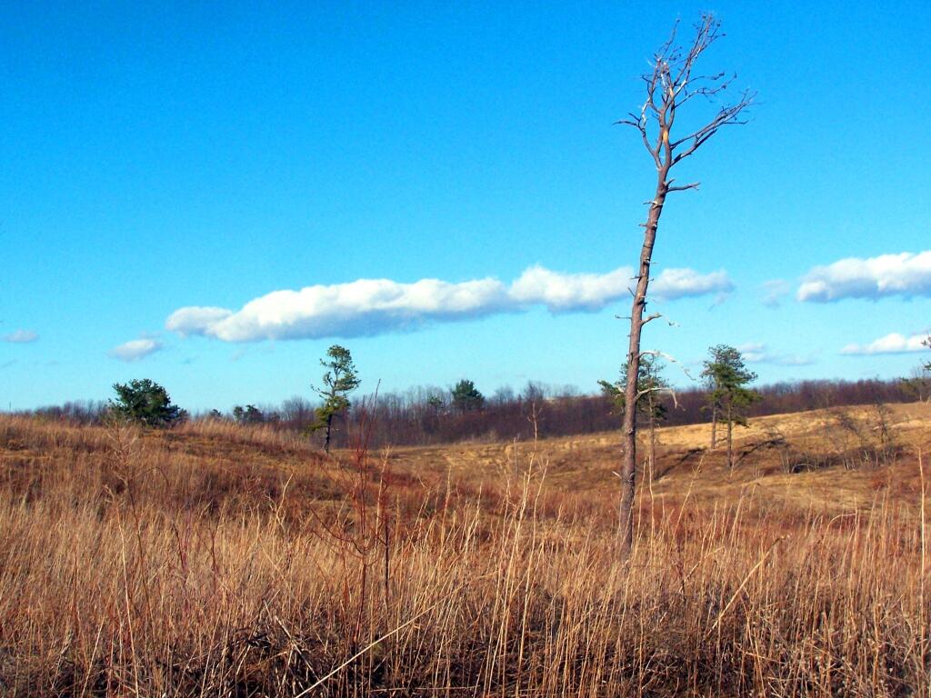
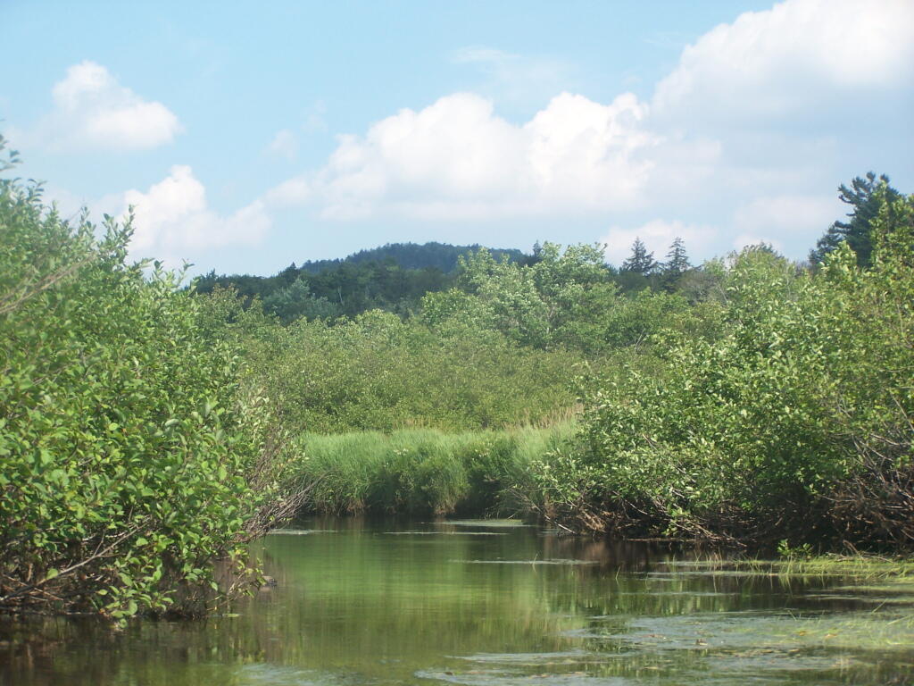
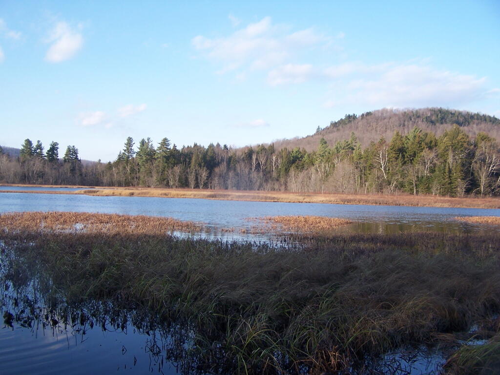
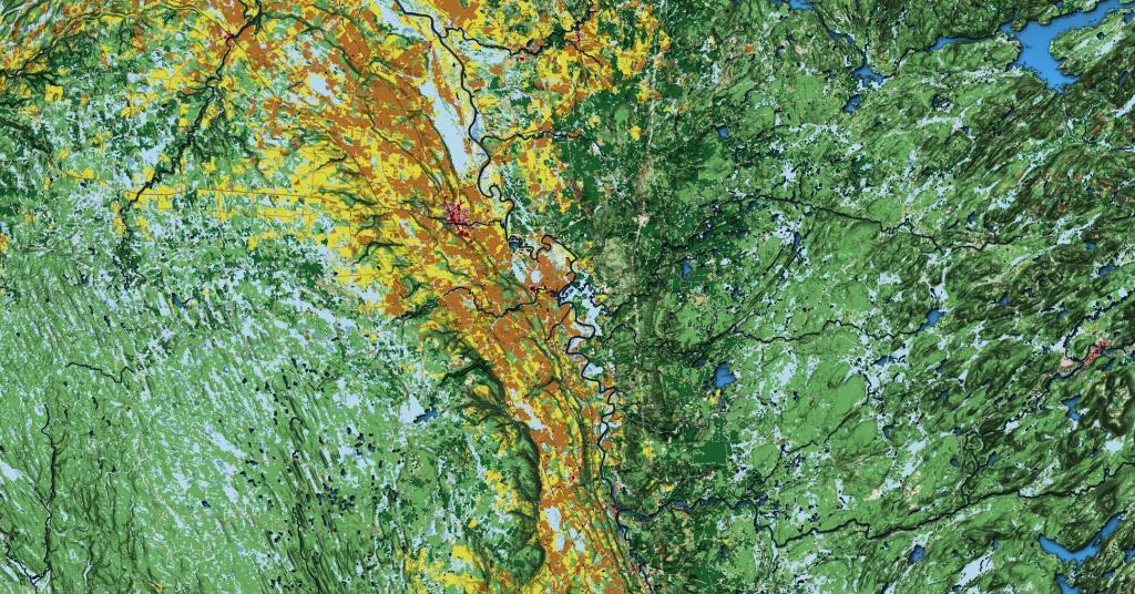
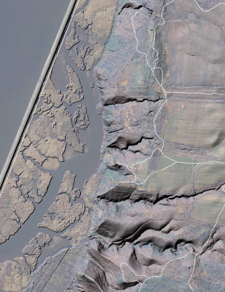
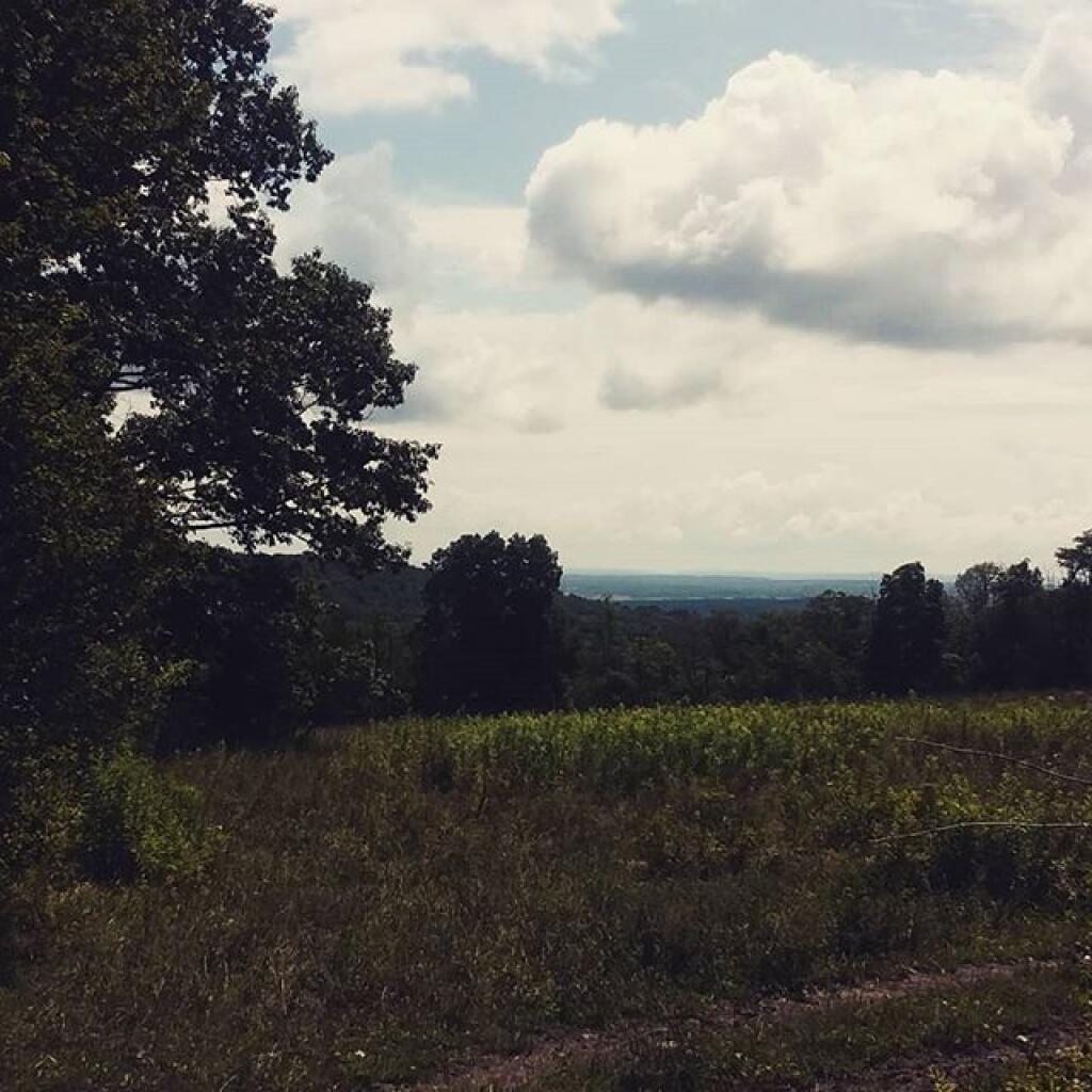
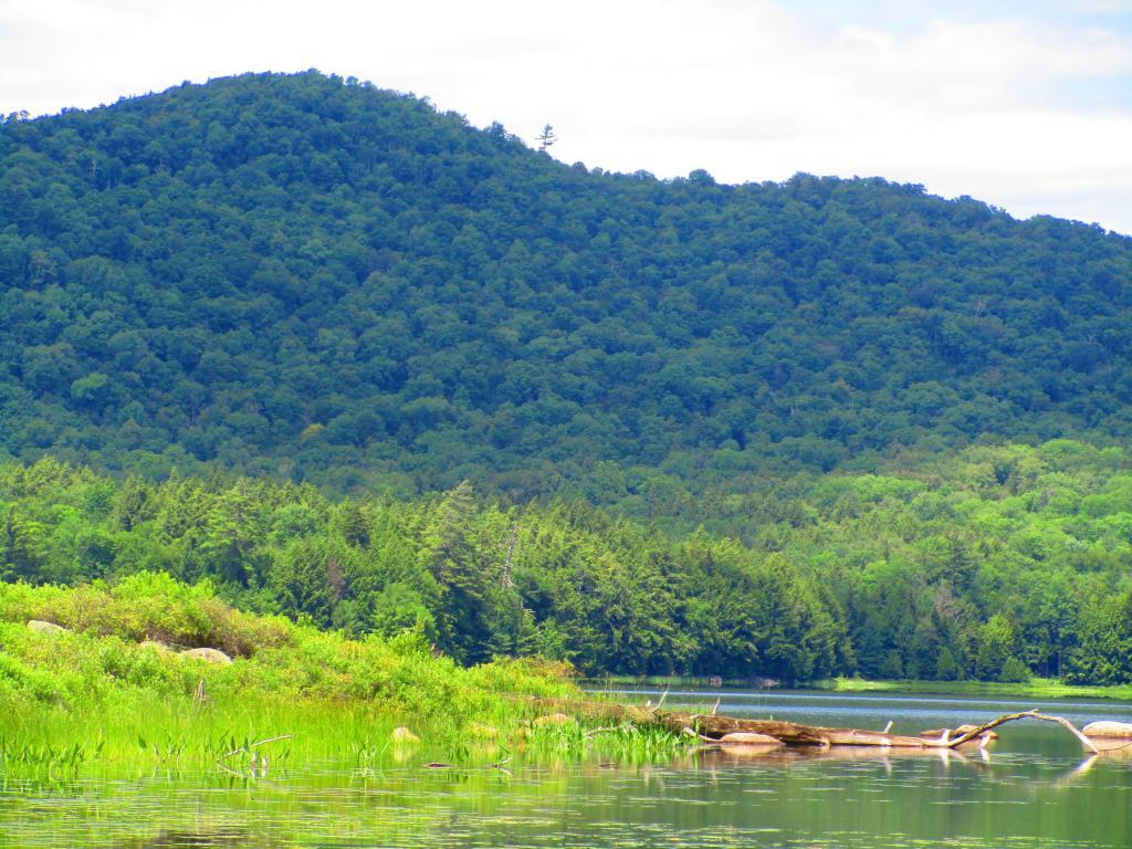
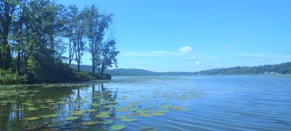
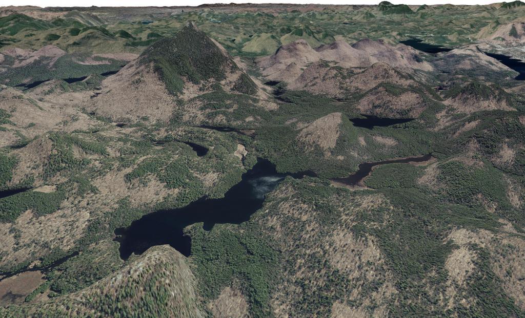
More then one out of every 5 acres in NY State is publicly owned and is used as parkland. Here are a series of maps of various regions of NY State showing the boundaries and classifications of various types of land.
Today’s fodder is based on the text of the Adirondack Park State Land Master Plan that explains the Adirondack Scenic, Wild and Recreational Rivers System and the policies surrounding it quite well. — Andy
The Adirondack Park contains many rivers which, with their immediate environs, constitute an important and unusual resource. Classification of those portions of rivers that flow through state land is vital to the protection of existing free flowing streams. The classification system and the recommended guidelines specified below are designed to be consistent with and complementary to both the basic intent and structure of the legislation passed by the legislature in 1972 creating a wild, scenic and recreational rivers system on both state and private lands.
Definitions
A wild river is a river or section of river that is free of diversions and impoundments, inaccessible to the general public except by water, foot or horse trail, and with a river area primitive in nature and free of any man-made development except foot bridges.
A scenic river is a river or section of river that is free of diversions or impoundments except for log dams, with limited road access and with a river area largely primitive and undeveloped, or that is partially or predominantly used for agriculture, forest management and other dispersed human activities that do not substantially interfere with public use and enjoyment of the river and its shore. A recreational river is a river or section of river that is readily accessible by road or railroad, that may have development in the river area and that may have undergone some diversion or impoundment in the past.
Guidelines for Management and Use
Basic guidelines
1. No river or river area will be managed or used in a way that would be less restrictive in nature than the statutory requirements of the Wild, Scenic and Recreational Rivers Act, Article l5, title 27 of the Environmental Conservation Law, or than the guidelines for the management and use of the land classification within which the river area lies, but the river or river area may be administered in a more restrictive manner.
2. Rivers will be kept free of pollution and the water quality thereof kept sufficiently high to meet other management guidelines contained in this section.
3. No dam or other structure impeding the natural flow of a river will be constructed on a wild, scenic or recreational river, except for stream improvement structures for fisheries management purposes which are permissible on recreational and scenic rivers only.
4. The precise boundaries of the river area will be determined by the Department of Environmental Conservation, will be specified in the individual unit management plans for the river area or the areas, where the more restrictive guidelines of the particular area will apply) and with the following additional guidelines.
2. Access points to the river shore or crossings of the river by roads, fire truck trails or other trails open to motor vehicle use by the public or administrative personnel will normally be located at least two miles apart.
3. Other motor vehicle roads or trails in the river area will not be encouraged and, where permitted, will normally be kept at least 500 feet from the river shore and will be screened by vegetation or topography from view from the river itself.
4. The natural character of the river and its immediate shoreline will be preserved.
5. The following structures and improvements may be located so as to be visible from the river itself:
== fishing and waterway access sites;
== foot and horse trails and foot and horse trail bridges crossing the river; and,
== motor vehicle bridges crossing the river.
6. All other new, reconstructed or relocated conforming structures and improvements (other than individual lean-tos, primitive tent sites and pit privies which are governed by the regular guidelines of the master plan) will be located a minimum of 250 feet from the mean high water mark of the river and will in all cases be reasonably screened by vegetation or topography from view from the river itself.
7. Motorboat usage of scenic rivers will not normally be permitted but may be allowed by the Department of Environmental Conservation, where such use is already established, is consistent with the character of the river and river area, and will not result in any undue adverse impacts upon the natural resource quality of the area.
Recreational rivers
1. Recreational rivers and their river areas will be administered in accordance with the guidelines for management of wild forest areas (except where such rivers flow through wilderness, primitive or canoe areas, where the more restrictive guidelines of the particular area will apply) and with the following additional guidelines:
2. Where a recreational river flows through an intensive use area, structures, improvements and uses permitted in intensive use areas will be permitted, provided the scale and intensity of these intensive uses do not adversely affect the recreational character of the river and the river area.
3. The natural character of the river and its immediate shoreline will be preserved and enhanced.
4. The following structures and improvements may be located so as to be visible from the river itself:
== fishing and waterway access sites;
== docks;
== foot and horse trails and foot and horse trail bridges crossing the river;
== snowmobile trails, roads, and truck trails; and,
== motor vehicle bridges crossing the river.
5. All other new, reconstructed or relocated conforming structures and improvements (other than individual lean-tos and primitive tent sites which are governed by the regular guidelines of the master plan) will be located a minimum of 150 feet from the mean high water mark of the river and will in all cases be reasonably screened by vegetation or topography from view from the river itself.
6. Motorboat use of recreational rivers may be permitted, as determined by the Department of Environmental Conservation.
Designation of Wild, Scenic and Recreational Rivers
The application of the above definitions and criteria to rivers on state lands in the Park results in the current designation under this master plan of 155.1 miles of wild rivers, 511.3 miles of scenic rivers, and 539.5 miles of recreational rivers. A significant amount of private lands not covered by this master plan are included in these mileage figures. A brief description of these rivers and their classification is set forth in Chapter III.
River
Wild
Scenic
Recreational
Ampersand Brook
8.6
Ausable — Main Branch
21.7
Ausable — East Branch
8.8
25.2
Ausable — West Branch
31.8
Black
6.8
5.8
Bog
6.2
Boreas
11.4
Bouquet
42.7
Bouquet — North Fork
5.9
Bouquet — South Fork
5.0
Blue Mountain Stream (Trib. of Middle Branch, Grasse River)
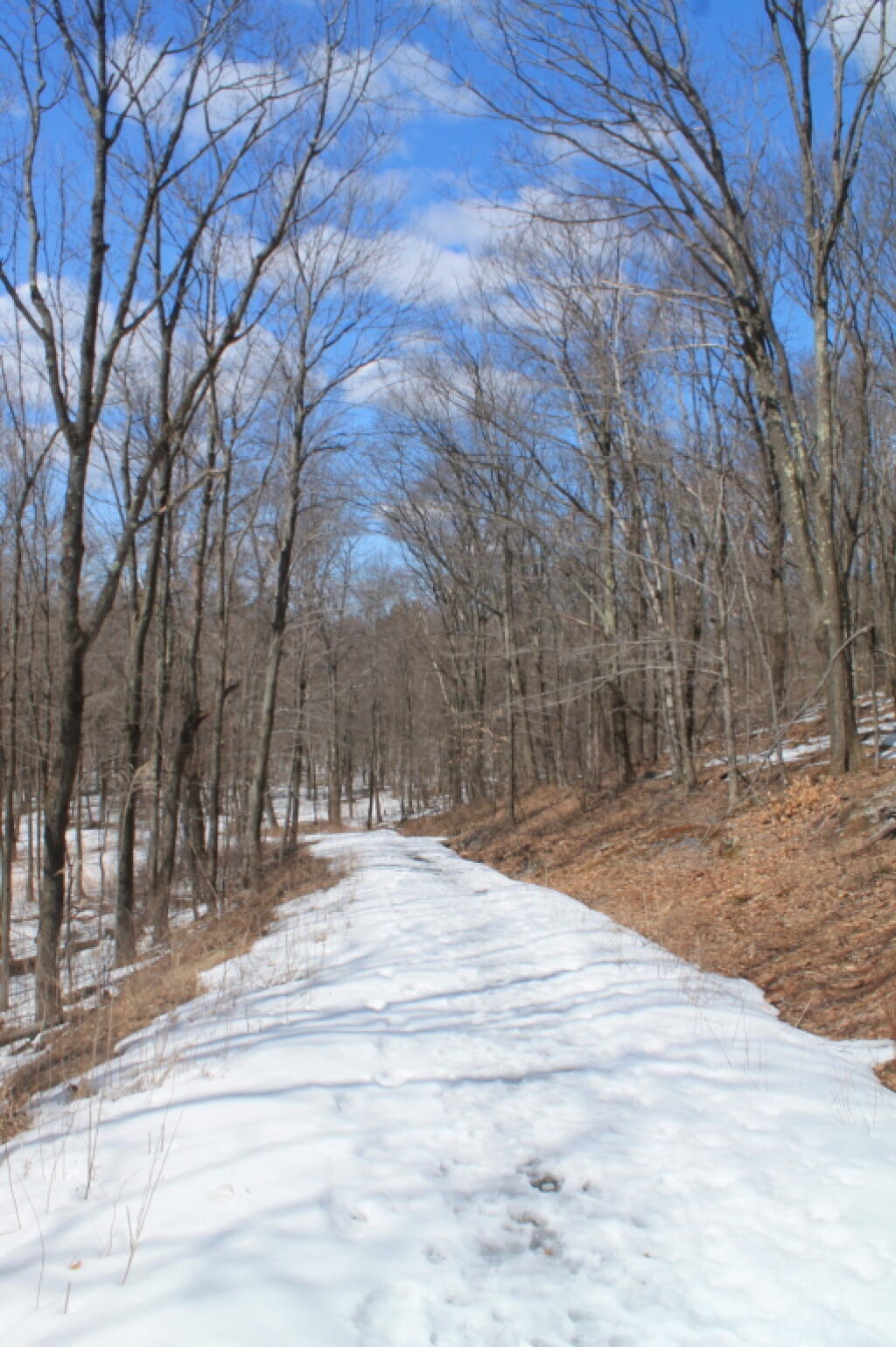
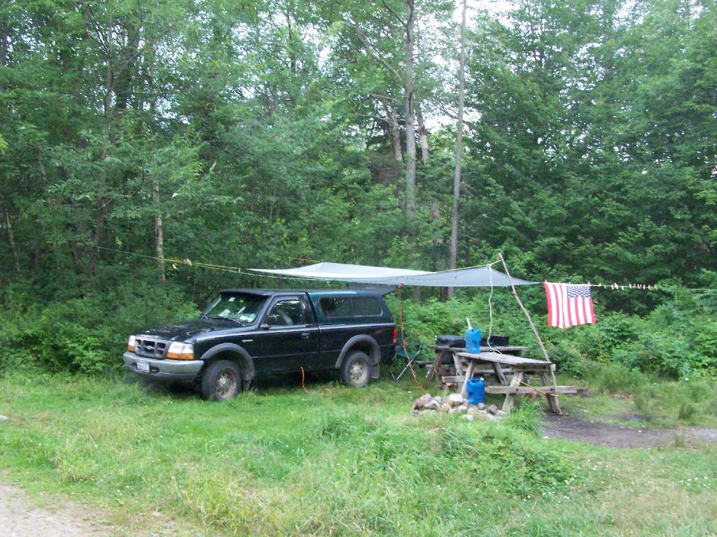
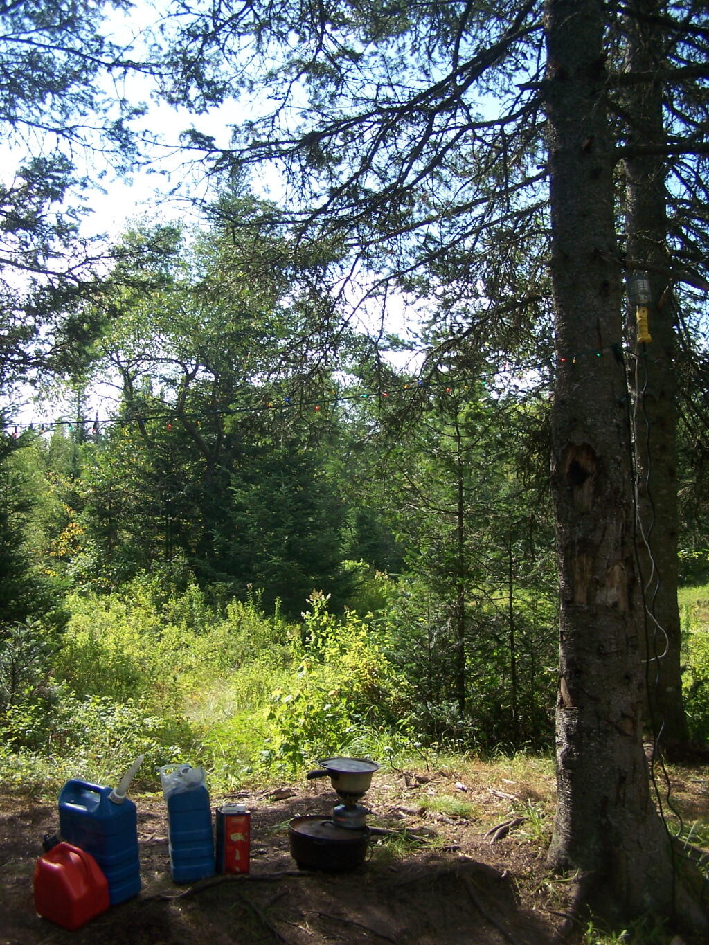
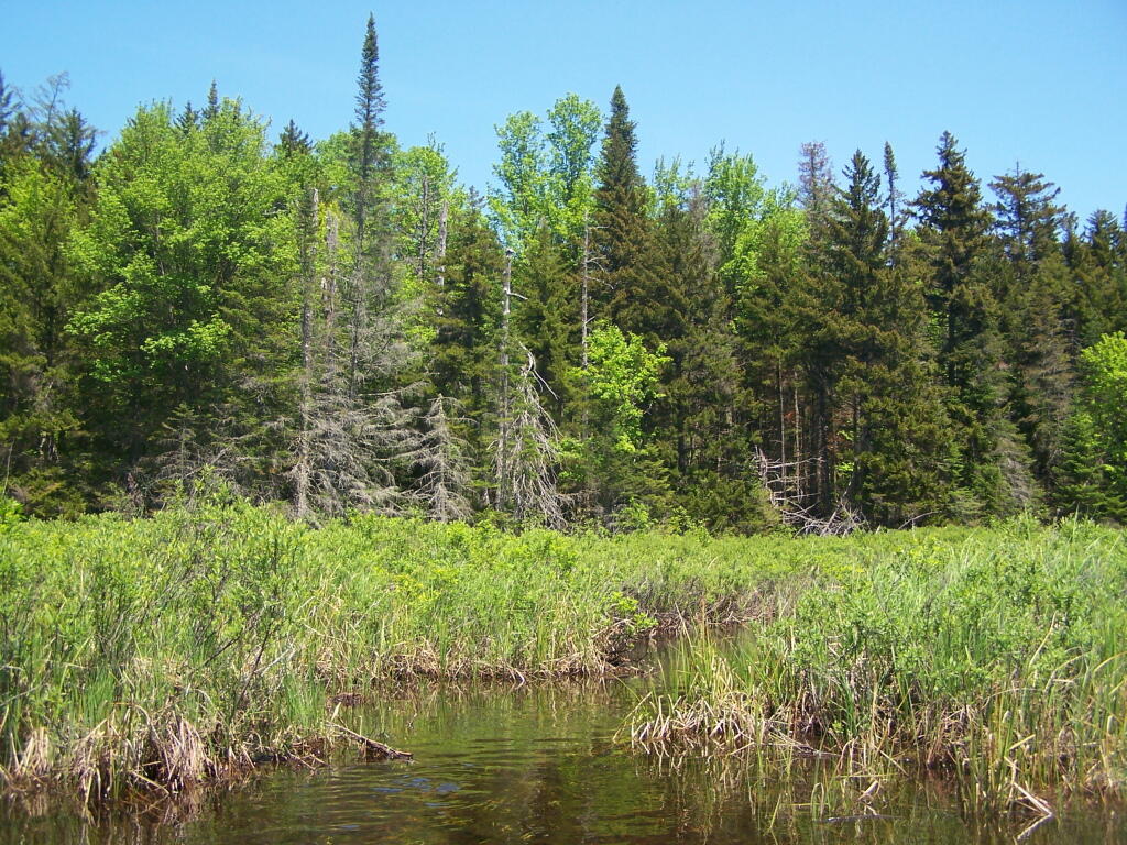
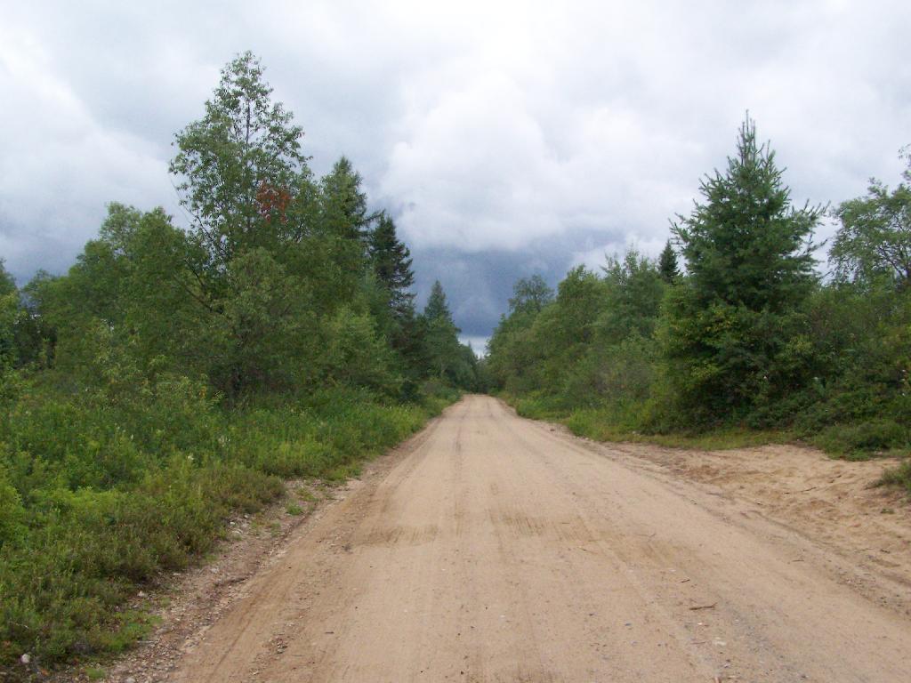
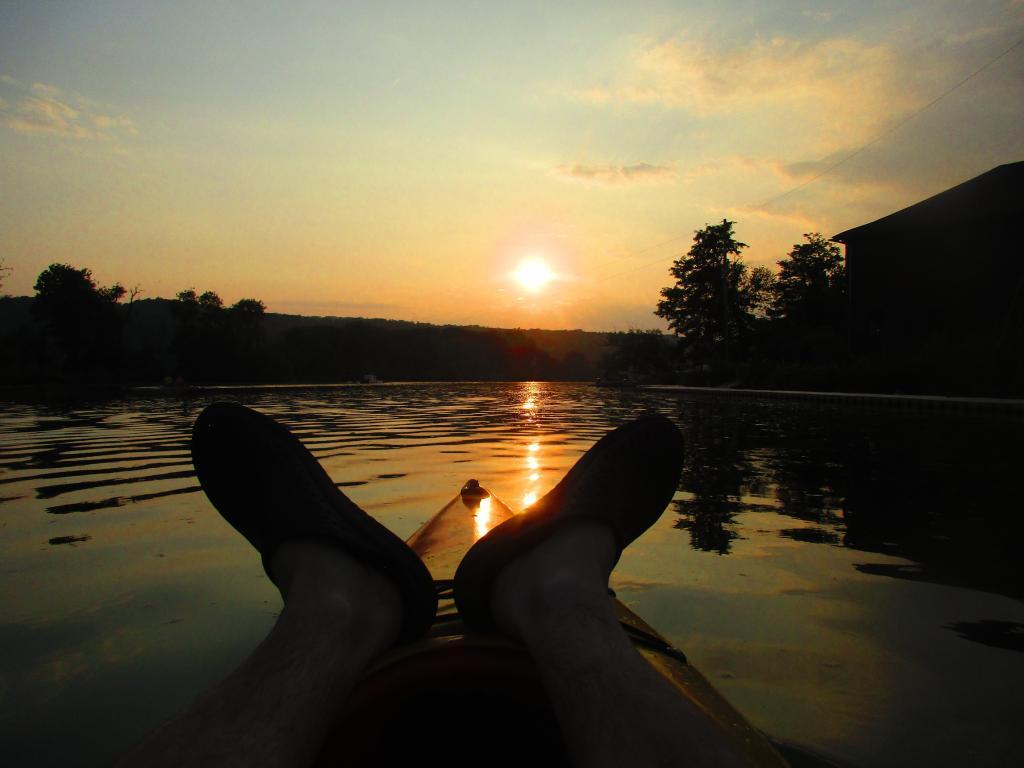
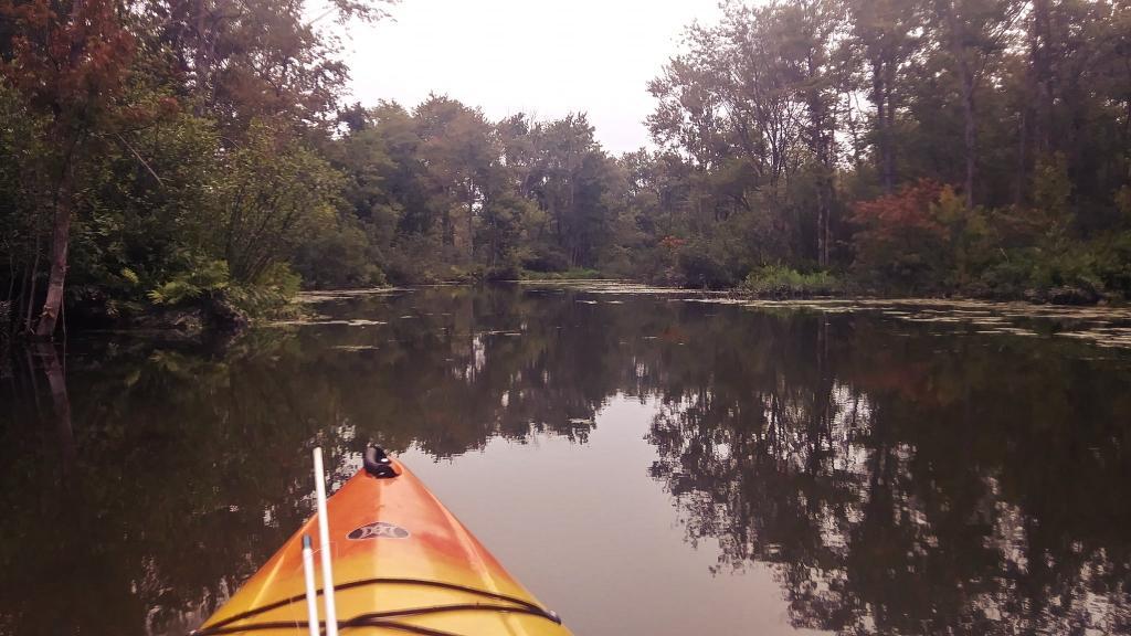
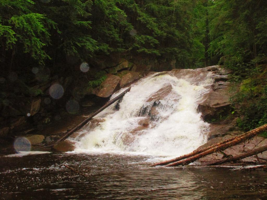
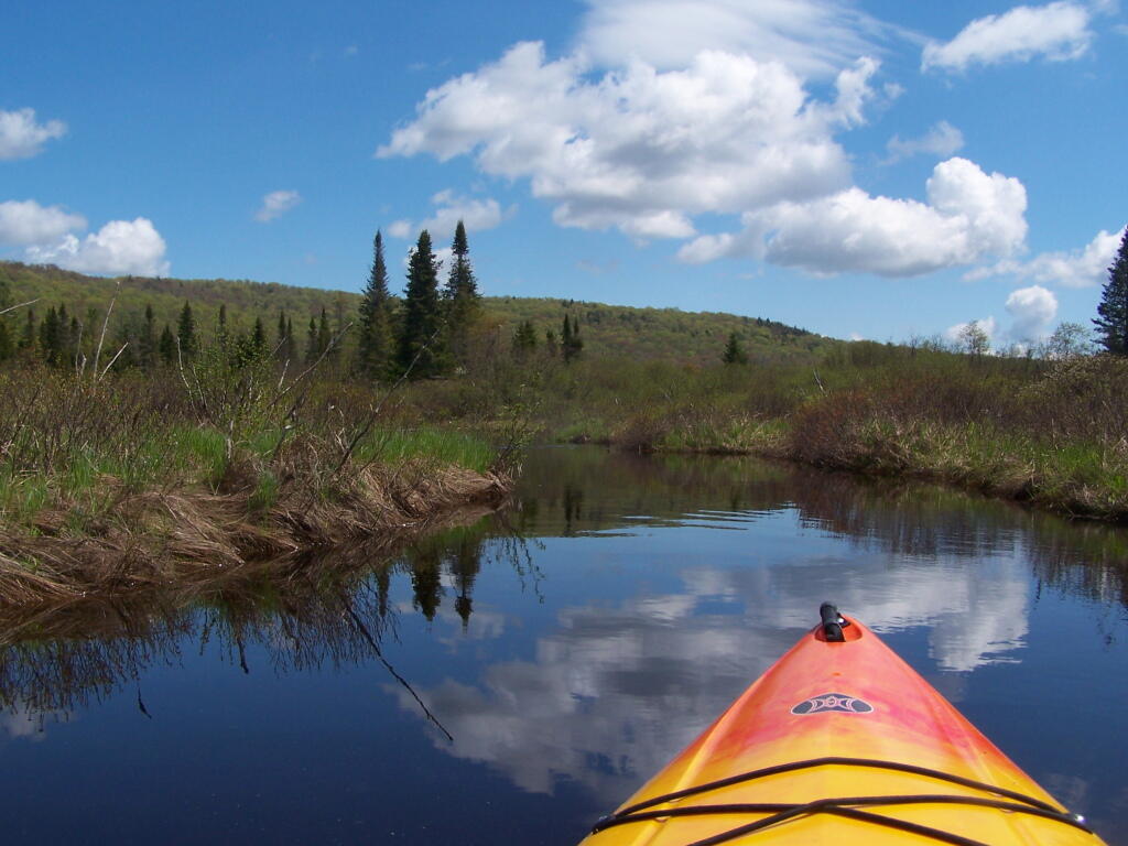
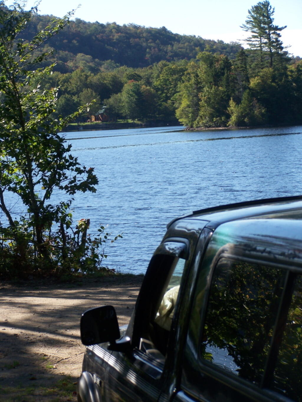
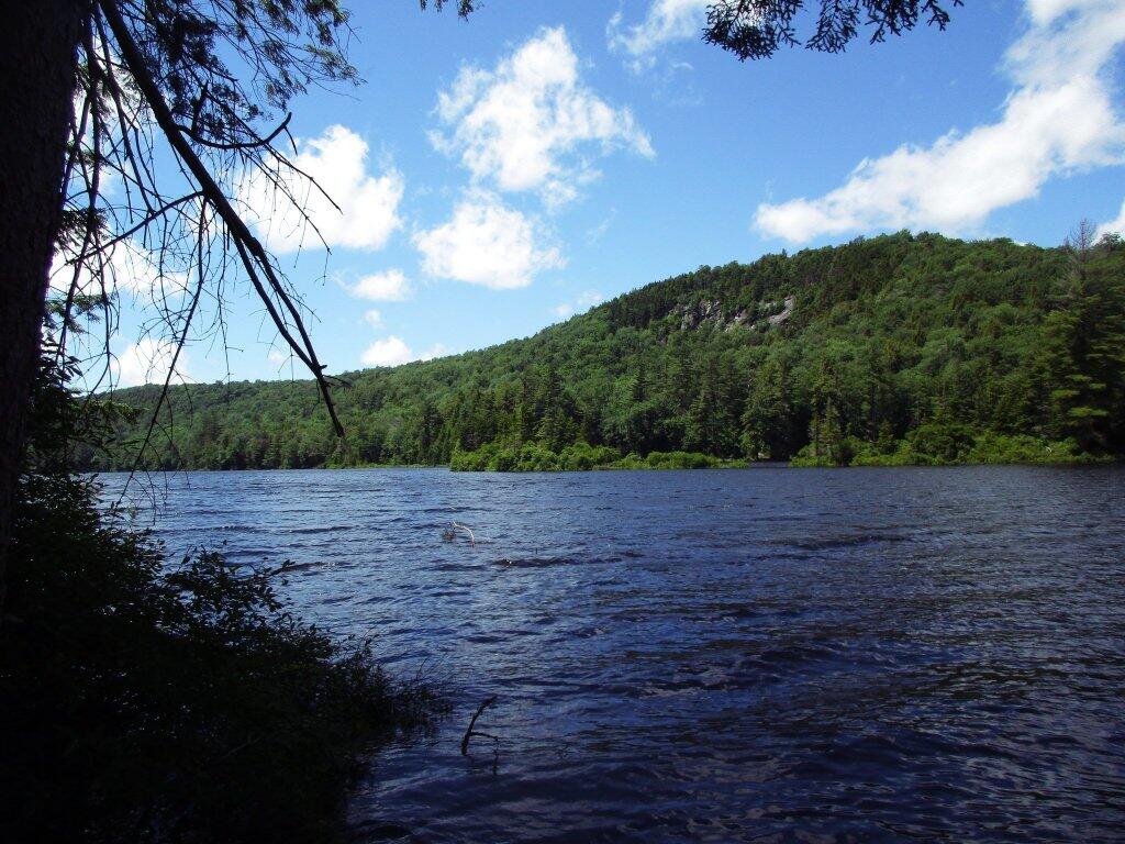
This past year, I got up to nine different Adirondack Wild Forests as part of my explorations of the Adirondack Park. Did a lot of hiking, kayaking, and camping. The map below shows the Adirondack Park’s various units.
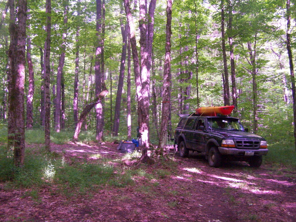
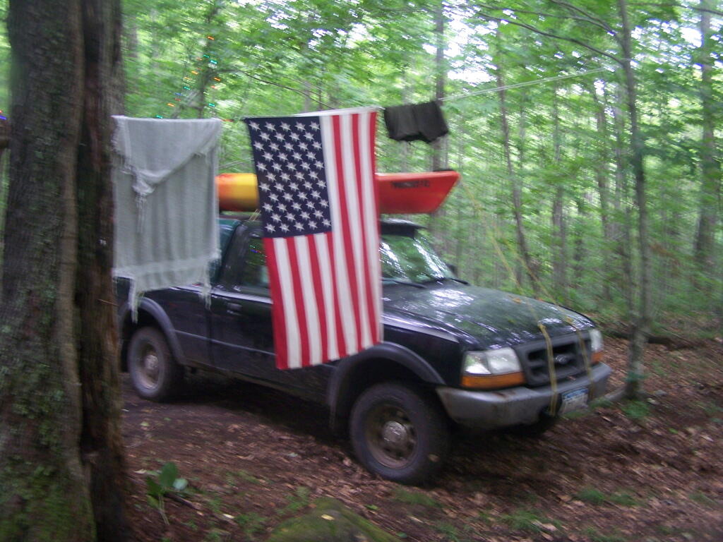
I camped in Aldrich Pond (1 night), Black River (4), Debar Mountain (3), Ferris Lake (5), Independence River (2), Moose River Plains (3), Taylor Pond (2), Vandwhacker Mountain (1), and Wilcox Lake (4). My preference for certain Wild Forests over others, is not just based on scenic beauty or activities to do, as much as closeness to Albany and compatability with weekend plans.
I saw quite a bit of Adirondack Park for sure.
Aldrich Pond (1 night)
Camped one night on Streeter Lake Road in Aldrich Pond Wild Forest near the hamlet of Oswagatchie. Paddled part of Little River and Streeter Lake.
Black River (4 nights)
Camped two nights at Wolf Lake Landing Road. Paddled around Woodhull Lake, hiked over to Remsen Falls.
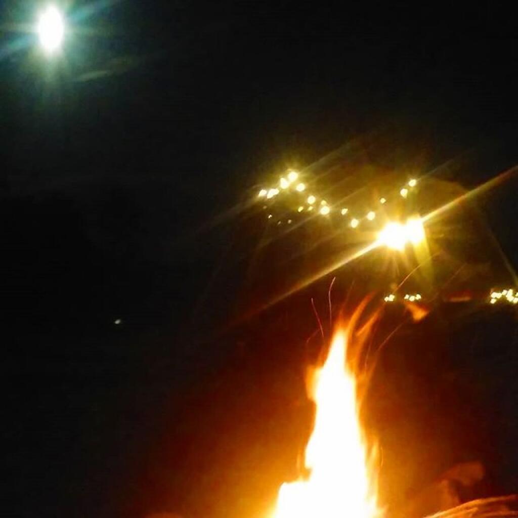
Camped two nights at North Lake. Sat down by the lake, enjoyed the moonlight. Explored Atwell and part of South Lake.
Debar Mountain (3 nights)
I camped for two nights at Mountain Pond near Paul Smiths, NY, while visiting the Saint Regis Canoe Area.
Then coming back from North Country, I decided to spend a night at Jones Pond, which is between Rainbow Lake and Paul Smiths.
Ferris Lake (5 nights)
I did two weekend trips up to Ferris Lake Wild Forest. The first was during Memorial Day Weekend, which was pretty wet and rainy for most of the weekend. The second was during the mid-summer on a super oppressive, hot and humid day out. While I explored Edick Roadside Camping, and also Good Luck Lake, both times I roadside camped on Piseco-Powley Road, three nights at PR 9, one night at PR 4, and one night at 11.
Independence River (2 nights)
Camped two nights at Independence River Wild Forest on Smith Road, at field Campsite 1. There are ten campsites on this road, including one with an outhouse. Several of them are located in old logging load pads, that are now mowed as fields for camping. Nothing particularly fancy here.
Moose River Plains (3 nights)
Planned to spend a week at Moose River Plains, brakes failed on third day up there. Still got three days of fall camping in along Cedar River – Limekiln Lake Road. Camped one night at Campsite 24, and two at Campsite 57 this year.
Taylor Pond (2 nights)
Camped up at Union Falls for two nights in the fall, while hiking and exploring several locations in Clinton County and eastern portion of the North Country.
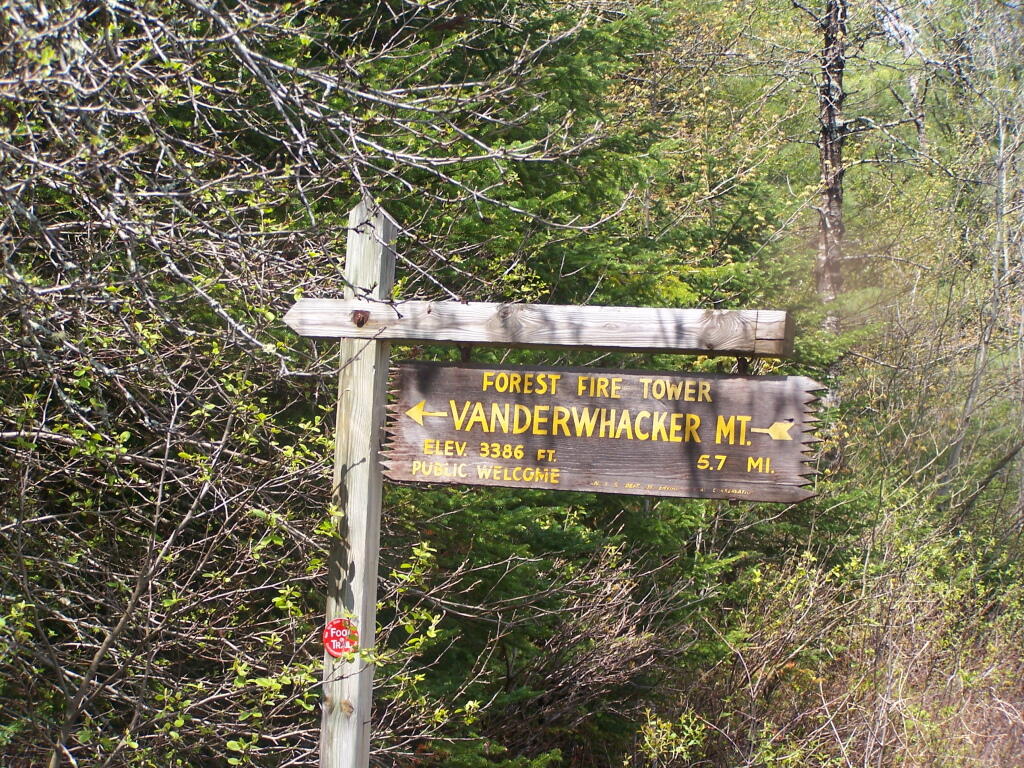
Vandwhacker Mountain (1 nights)
Camped one night at Cheney Pond at the Vanderwhacker Wild Forest.
Wilcox Lake (4 nights)
Camped three nights up off of NY 8 — one at an old Gravel Pit along the East Sacandaga River in April when the snow was still there, two nights at Fox Lair Campsite, and one night at Hope Falls Road, which is off of NY 30, near Northville.
New York State has the well known Forest Preserve in Adirondacks and Catskills (provided for in Section 1) and State Forests and Wildlife Management Areas (provided for in Section 2) outside of the Blue-line designated Forest Preserve Boundaries. Yet, on November 4, 1969 the voters of New York State admended the consitution to add a new section that called for a new type of land — The State Nature and Historic Preserve — now managed by the new Department of Environment Conservation.
Article XIV Section 4:Protection of natural resources; development of agricultural lands.
The policy of the state shall be to conserve and protect its natural resources and scenic beauty and encourage the development and improvement of its agricultural lands for the production of food and other agricultural products.
The legislature, in implementing this policy, shall include adequate provision for the abatement of air and water pollution and of excessive and unnecessary noise, the protection of agricultural lands, wetlands and shorelines, and the development and regulation of water resources.
The legislature shall further provide for the acquisition of lands and waters, including improvements thereon and any interest therein, outside the forest preserve counties, and the dedication of properties so acquired or now owned, which because of their natural beauty, wilderness character, or geological, ecological or historical significance, shall be preserved and administered for the use and enjoyment of the people.
Properties so dedicated shall constitute the state nature and historical preserve and they shall not be taken or otherwise disposed of except by law enacted by two successive regular sessions of the legislature.
Since 1969, only 35 facilities have been added to the State Nature and Historic Preserve. While most of these properties are not contigous, they consist of some the most interesting public lands in NY State.