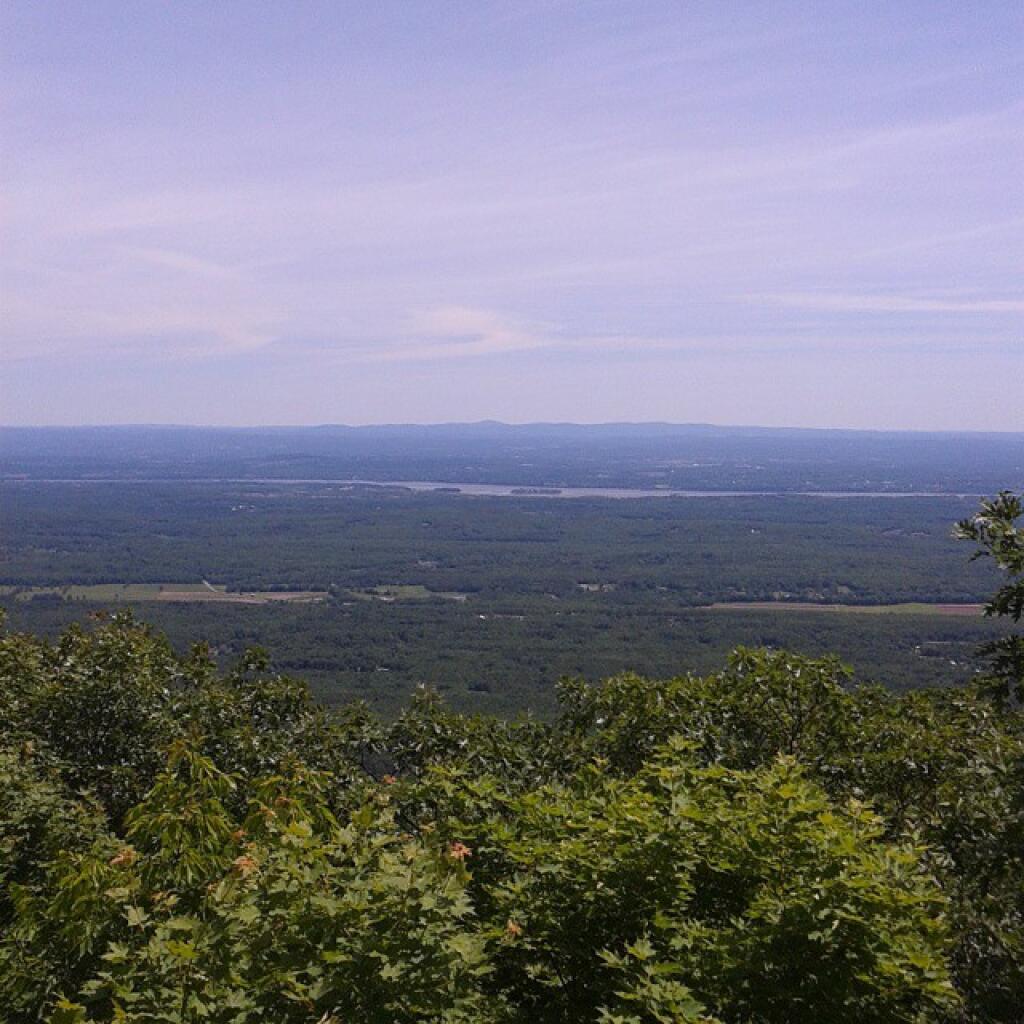
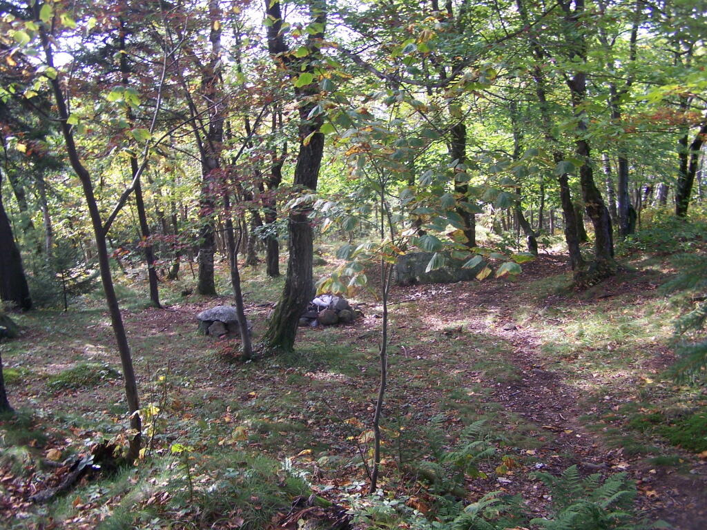
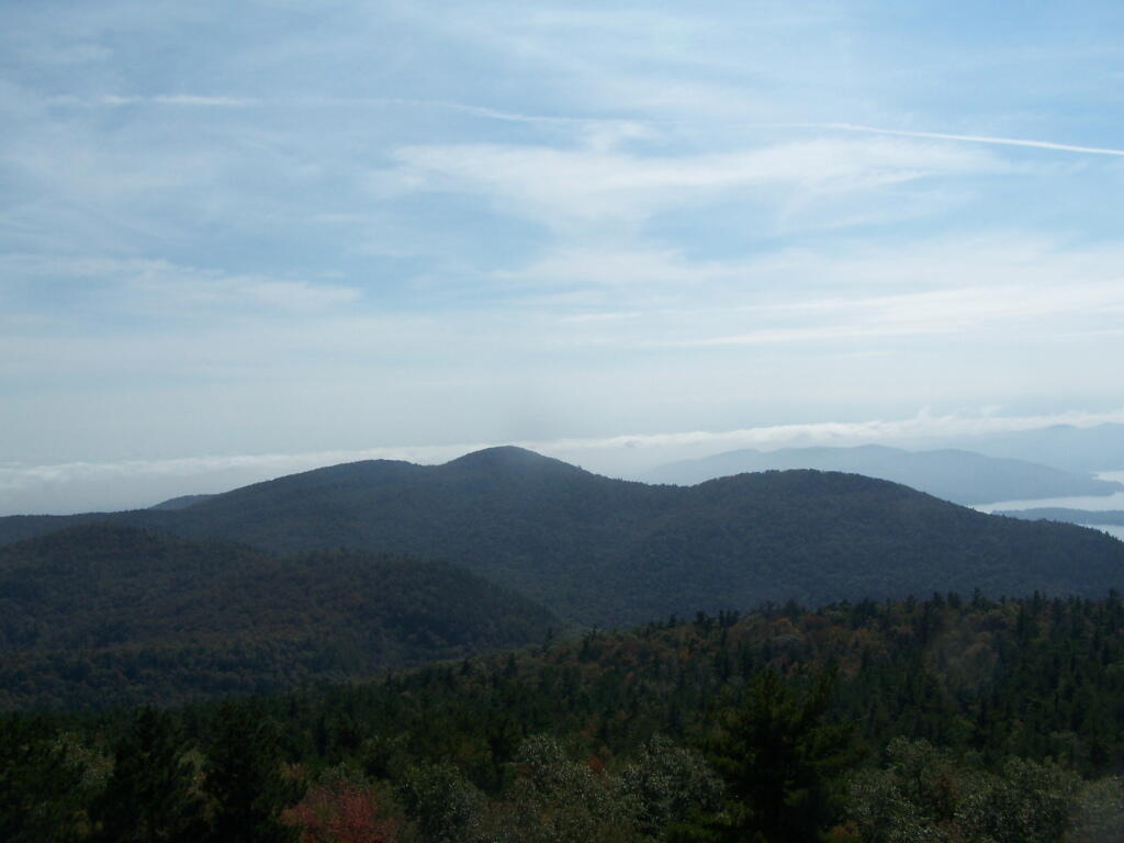
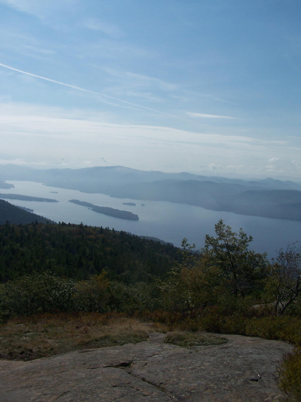
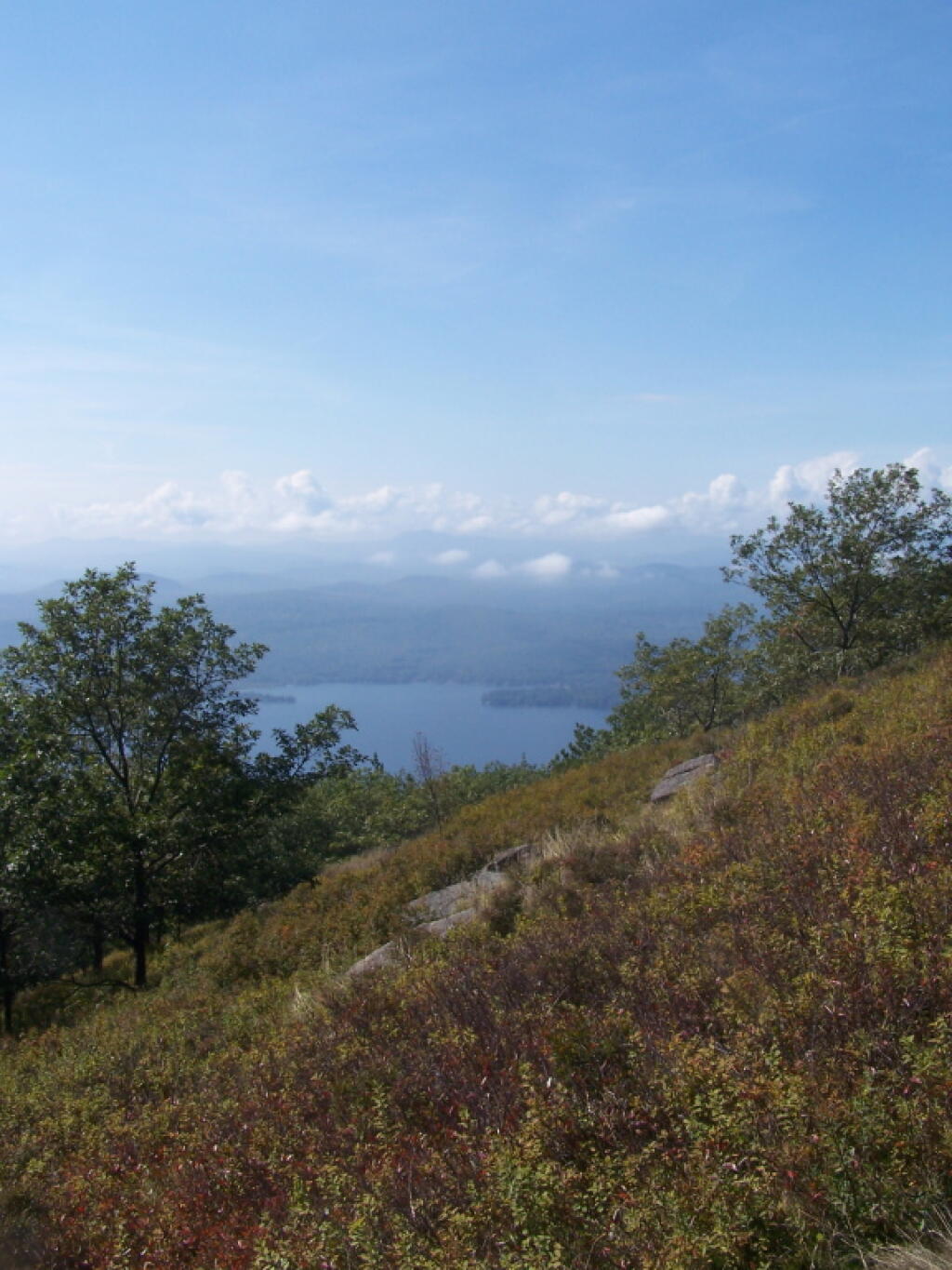
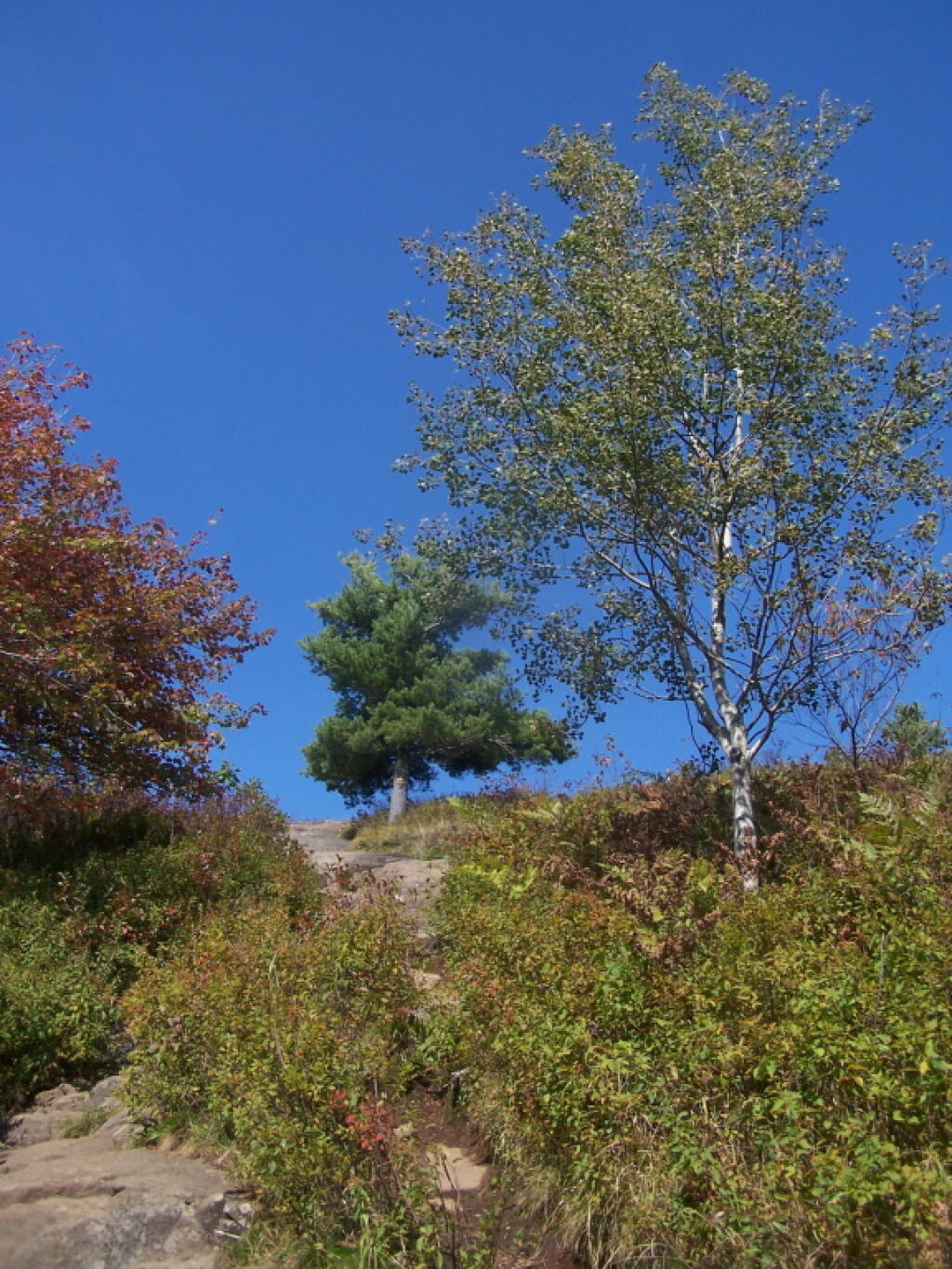
I have spent a lot of this past summer exploring the Black River Wild Forest, and decided it would be a good to share my experiences and some of the roadside and other campsites I’ve discovered along the way. As of September 2011, Lands and Forests in Albany doesn’t have these campsites in the central inventory, so all of this campsite data is based on personal exploration of these campsites.
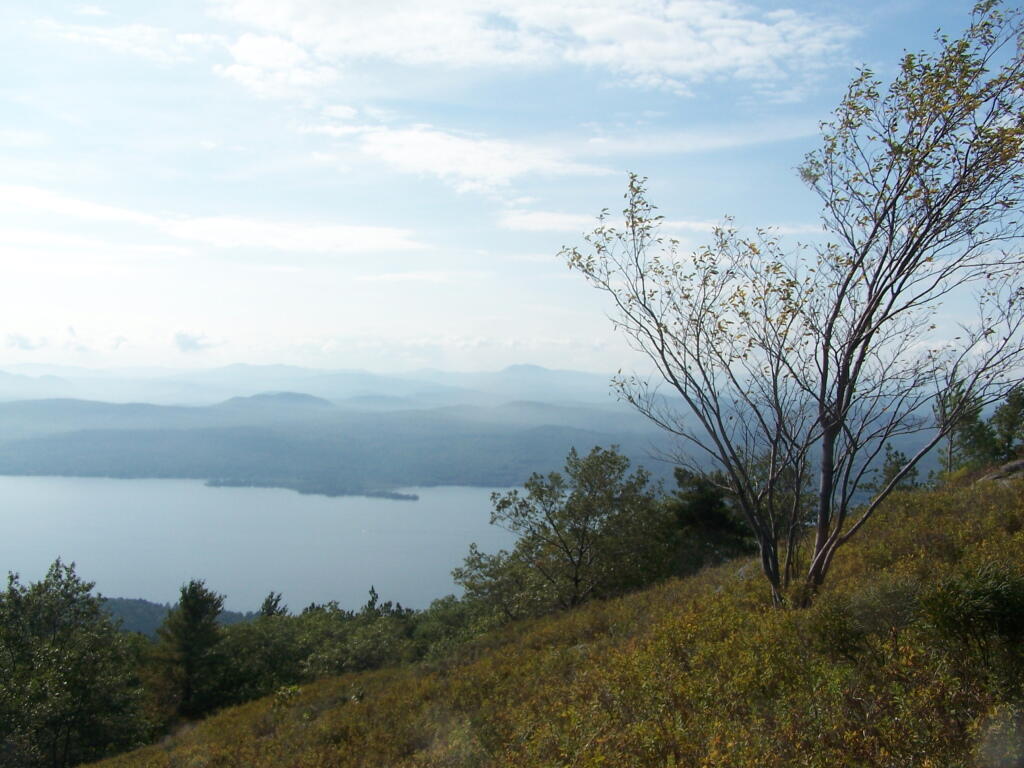
North Lake.
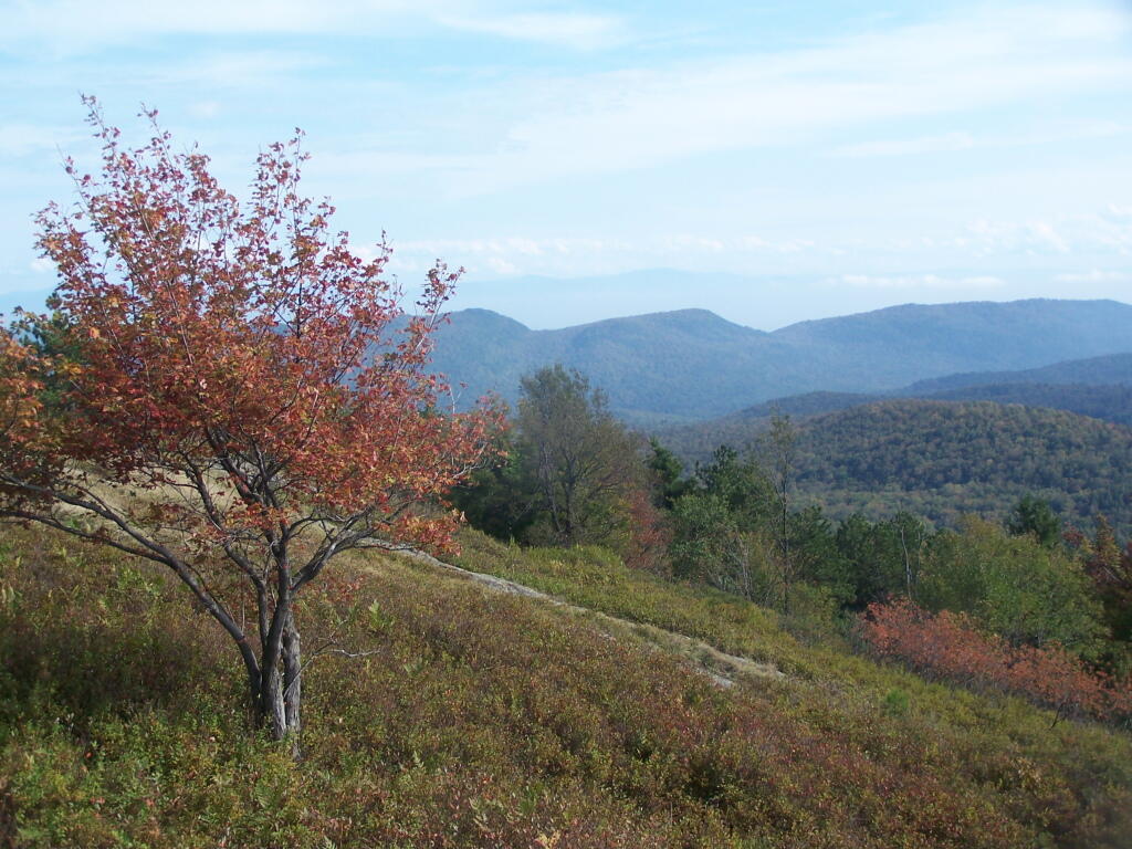
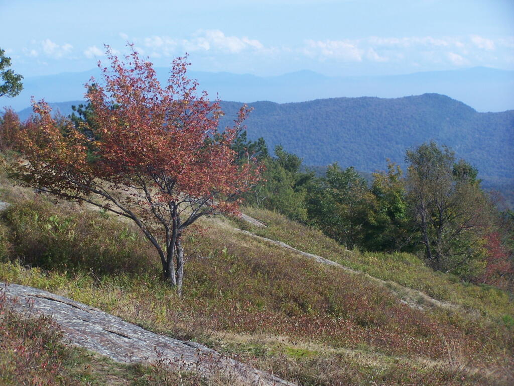
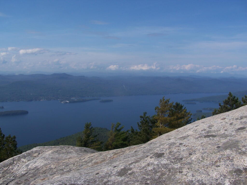
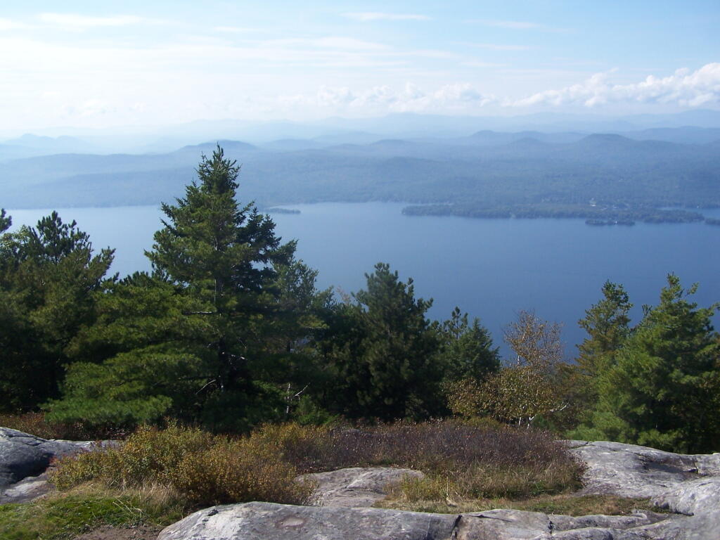
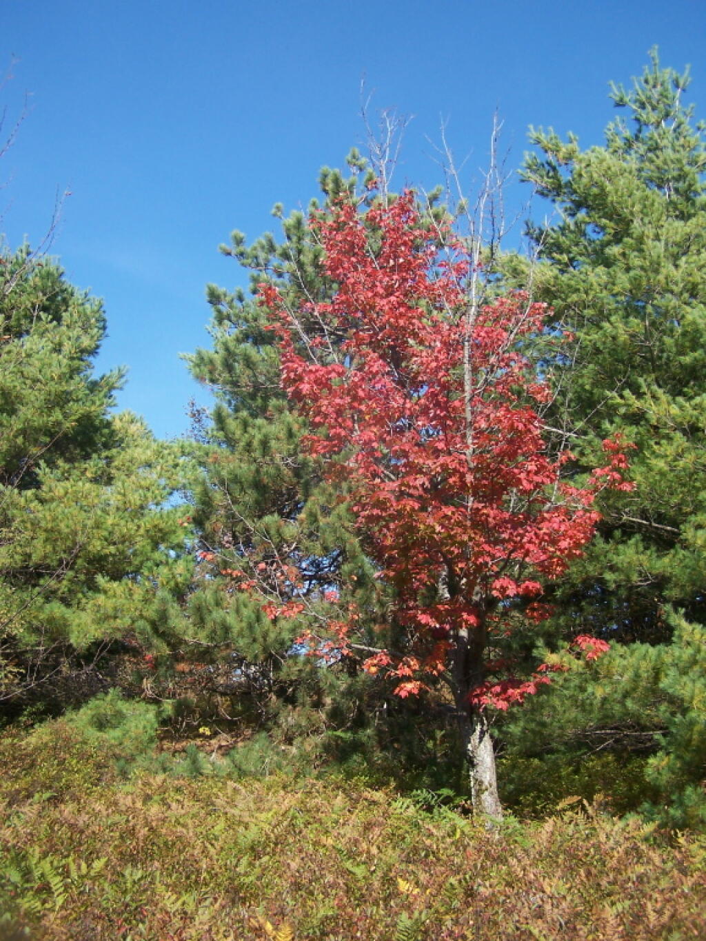
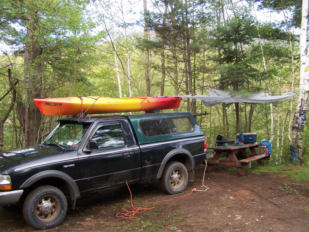
Some of the best camping in the Black River Wild Forest is North Lake in Atwell. There are 22 campsites — many of them vehicle accessible along this man made lake. The southern end of the lake has some private houses and cabins on it, but it still is relatively pristine and beautiful. Most sites have outhouses and fire pits. Some but not all sites have limited wood supply. All sites designated.
Motors are allowed on this lake — as are on all wild forest lakes — so don’t be surprised to hear a jet ski or small boat on there. There are no public boat ramp on lake, so only hand launched boats can get on the lake.
Click to download or print this map.
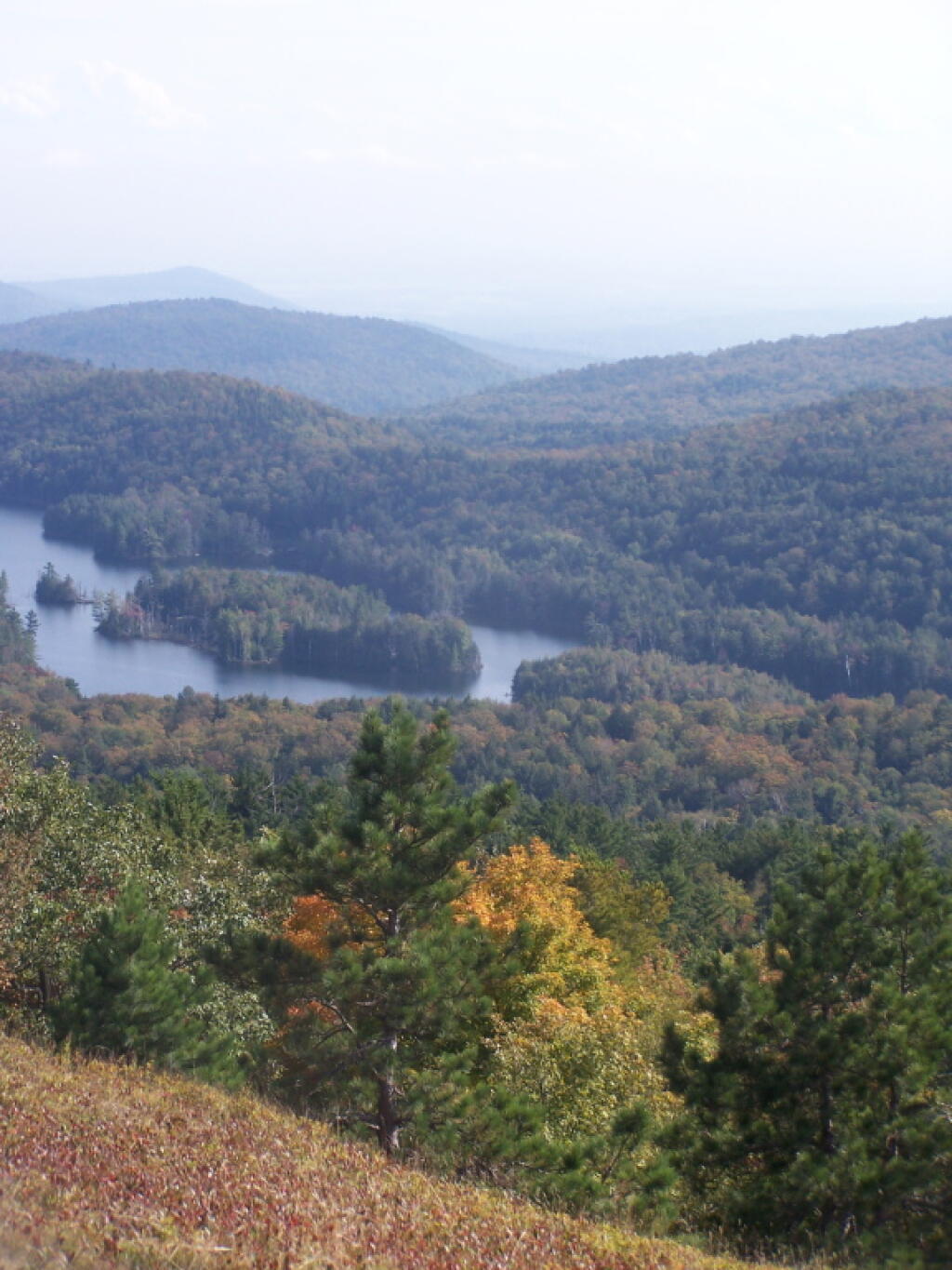
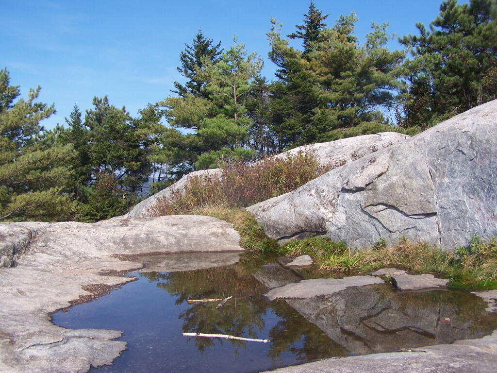
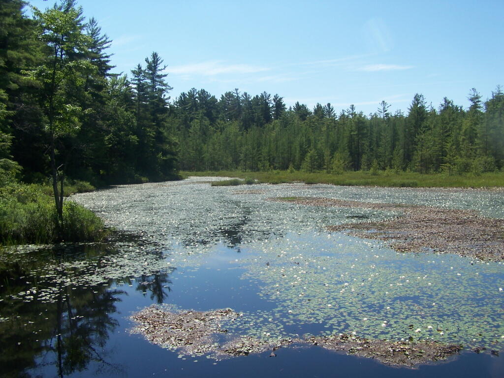
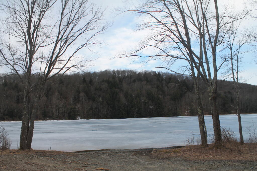
South Lake.
South Lake is another Erie Canal Corp / Black River Reservoir near North Lake. There is a single large campsite on South Lake, with a private in-holding on the other side of the lake. There may be other campsites here, as I didn’t explore this whole lake. There is an outhouse here, grassy field for camping, fire pit.
Click to download or print this map.
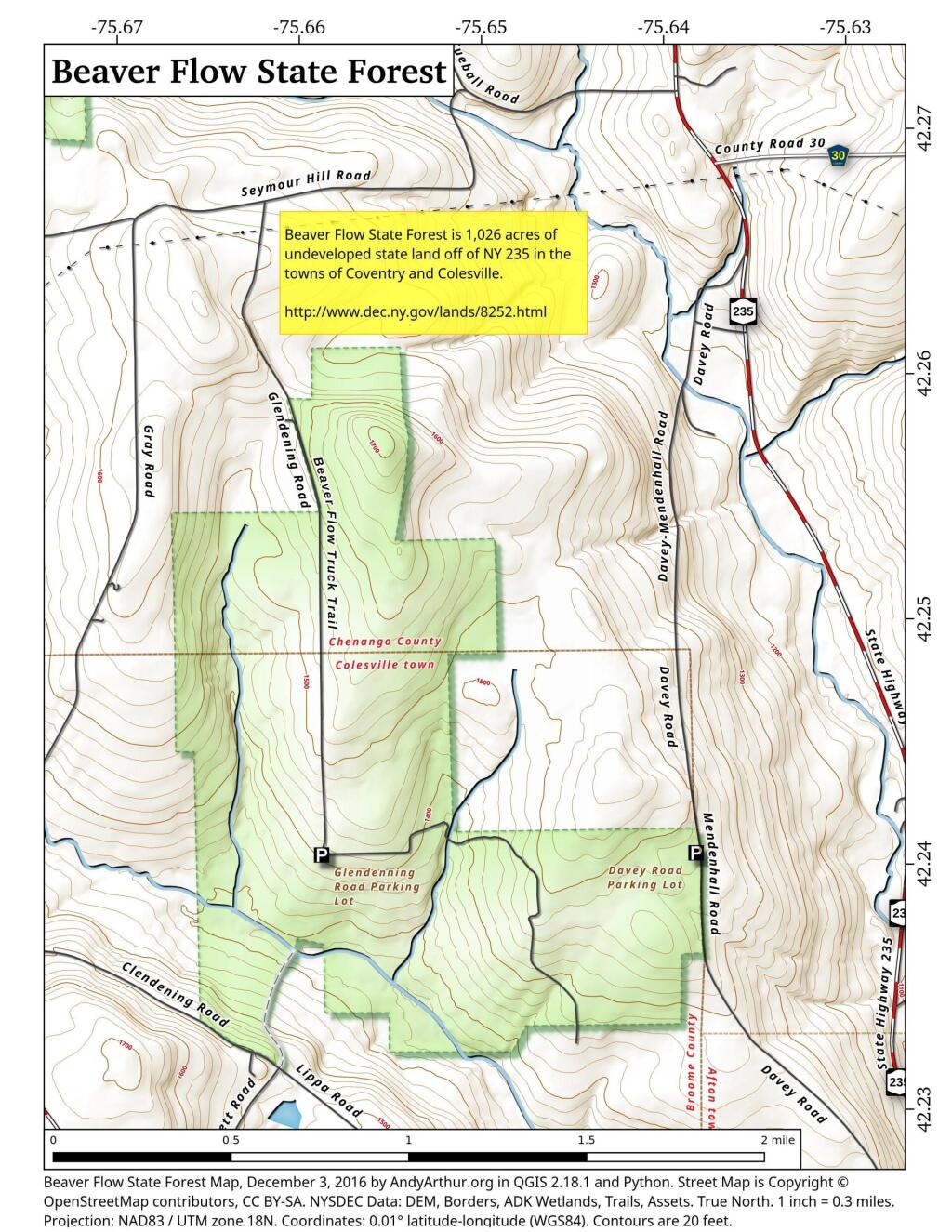
Reeds Pond.
There are a couple of campsites along Reeds Pond, North Lake Road, and Farr Road as you head up to North Lake from Forestport. This pristine, but relatively small pond is fairly popular for camping.
Click to download or print this map.
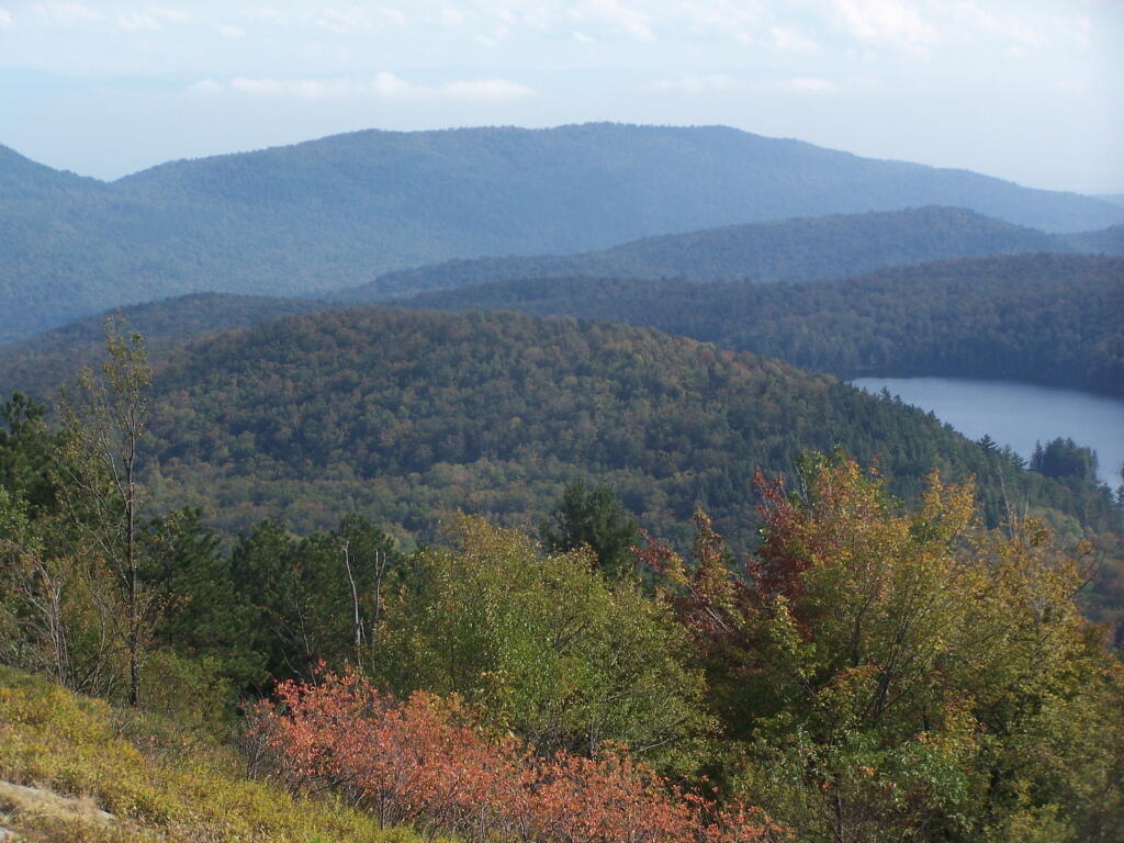
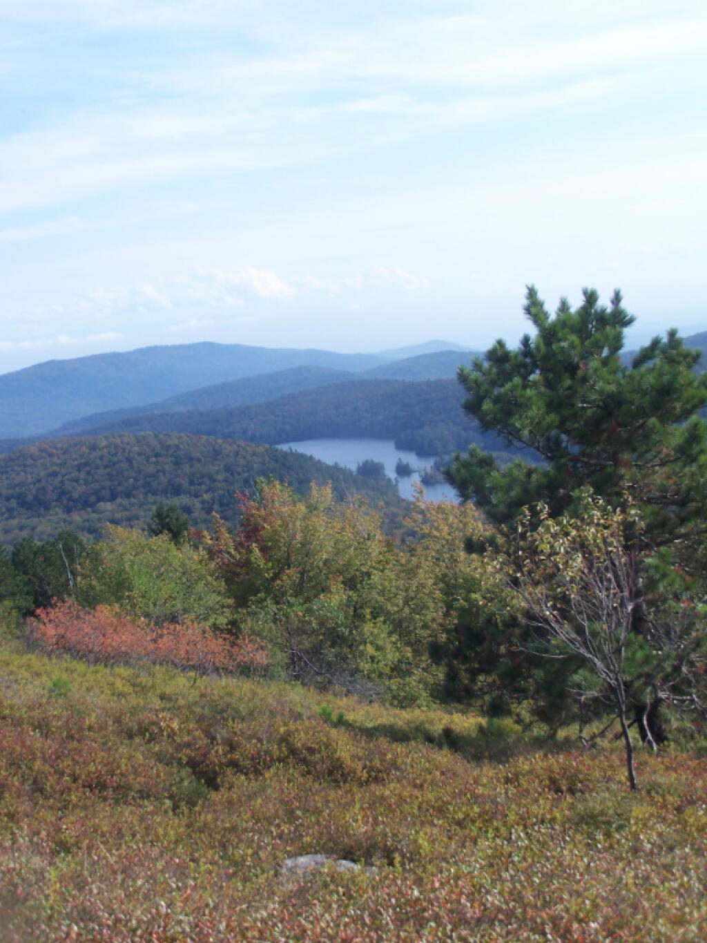
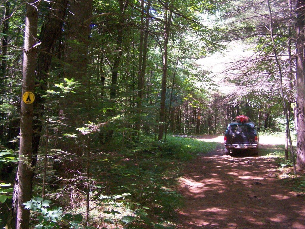
Wolf Lake Road.
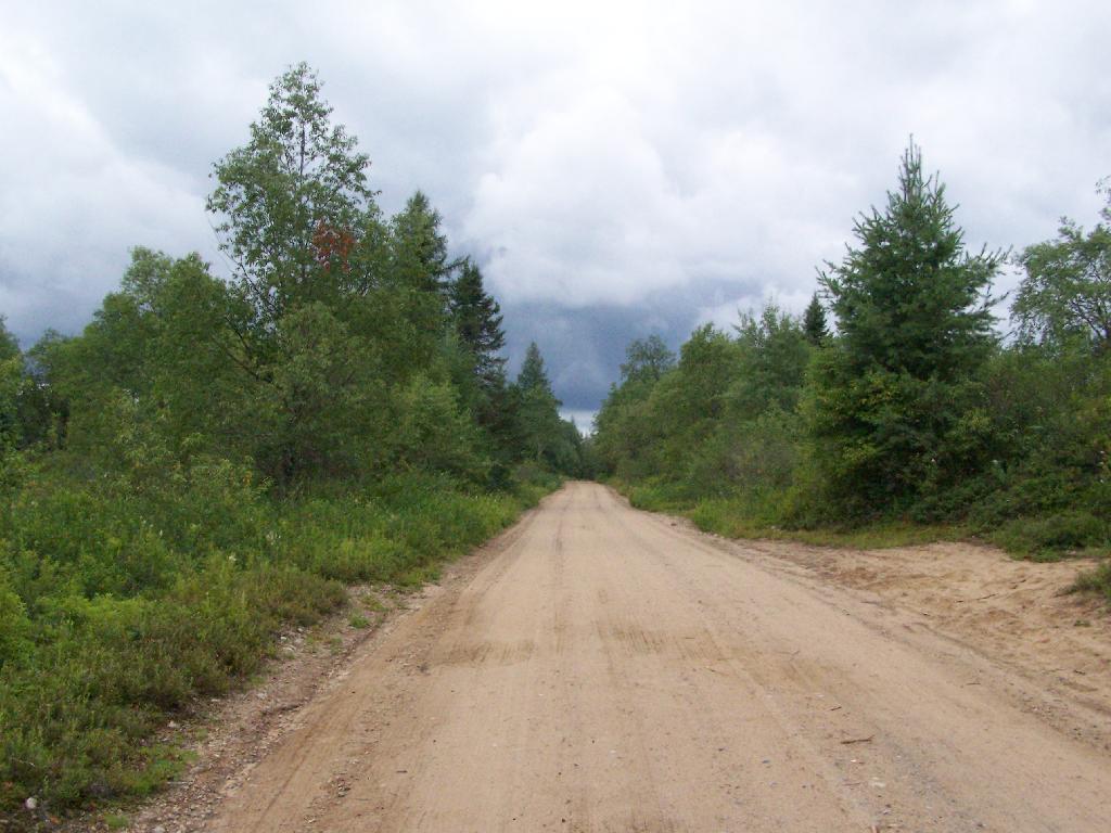
There are 5 fairly remote roadside campsites along Wolf Lake Road, as you head down to Woodhull Lake. Note also how there are lean-tos at Bear Lake and Woodhull Lake. The roadside campsites have no facilities, and some can be muddy as they are not hardened with gravel.
Wolf Lake Road has recently been rebuilt and resurfaced with gravel, however spring rains did lead to one part that may lead low-clearance cars to bottom out. Camp on this road, and your unlikely to see more then 2-3 people drive by on any particular day.
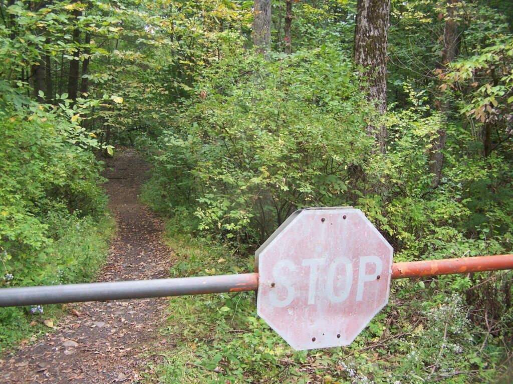
Be aware that the last 1/8th of a mile to Woodhull Lake is gated, so you’ll have to carry your boat the rest of the way down to the lake.
Click to download or print this map.
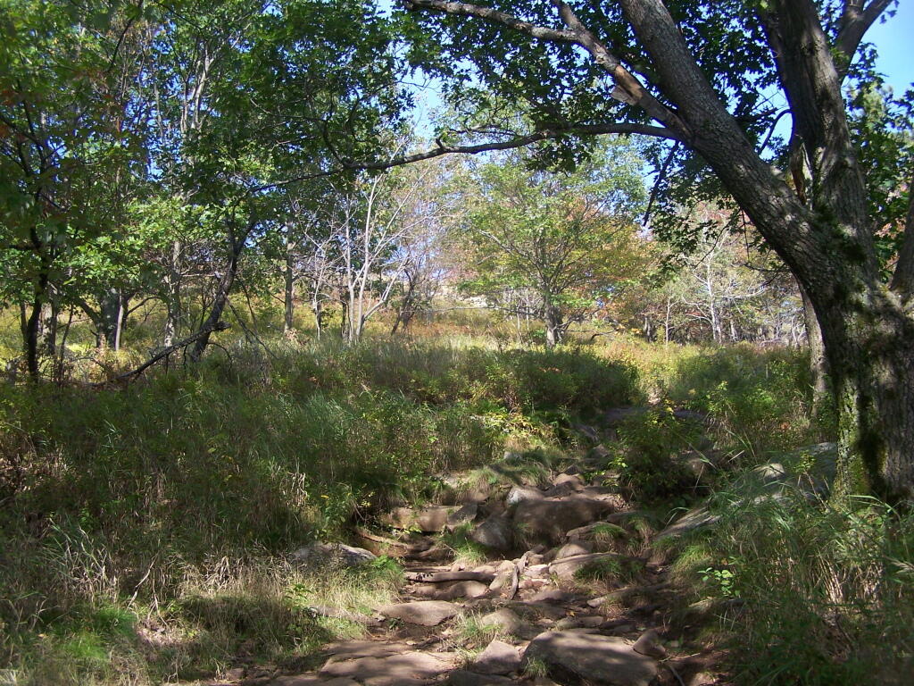
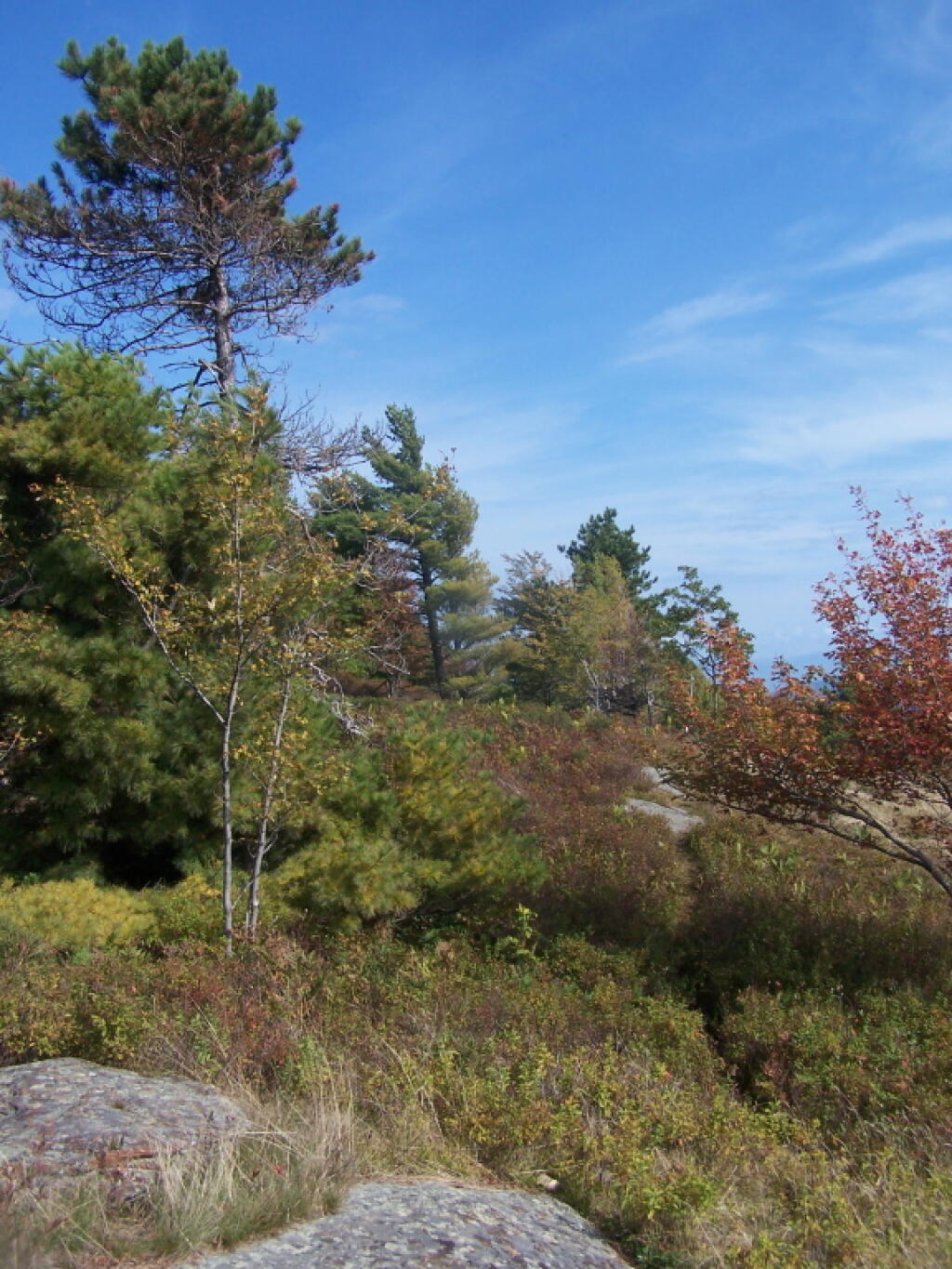
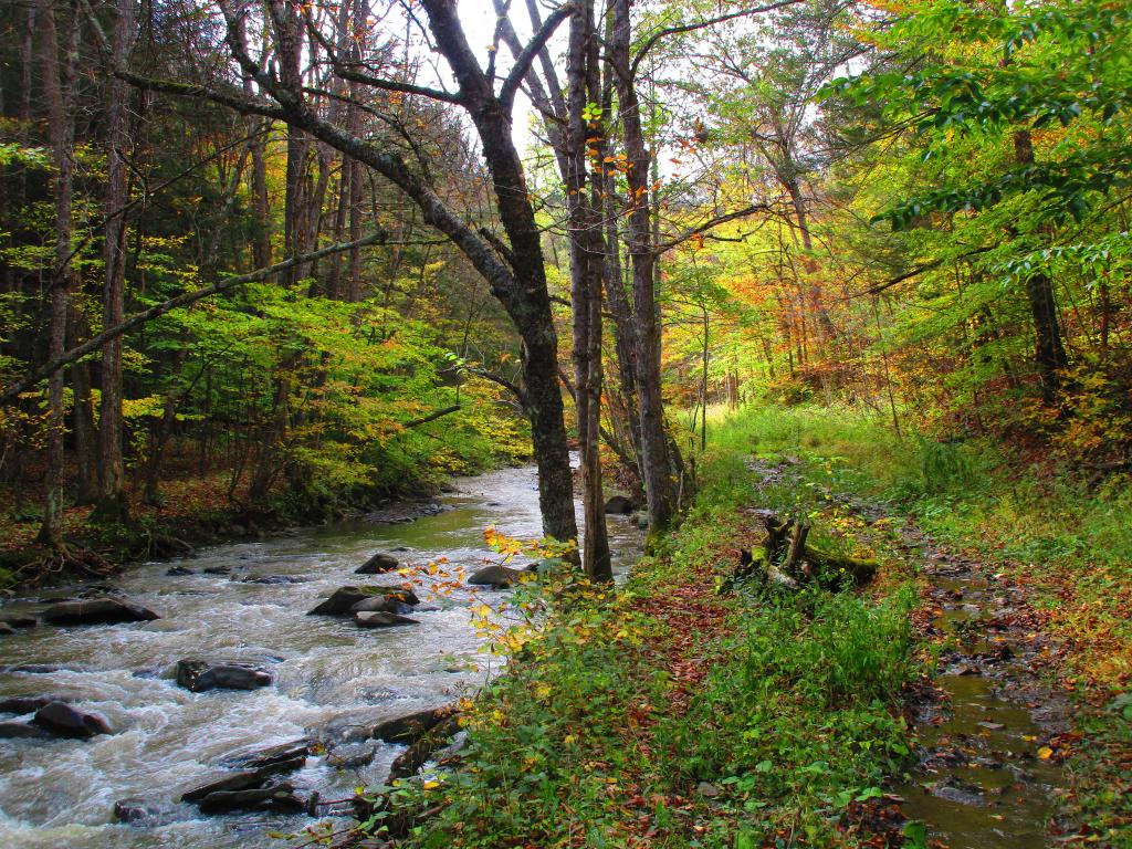
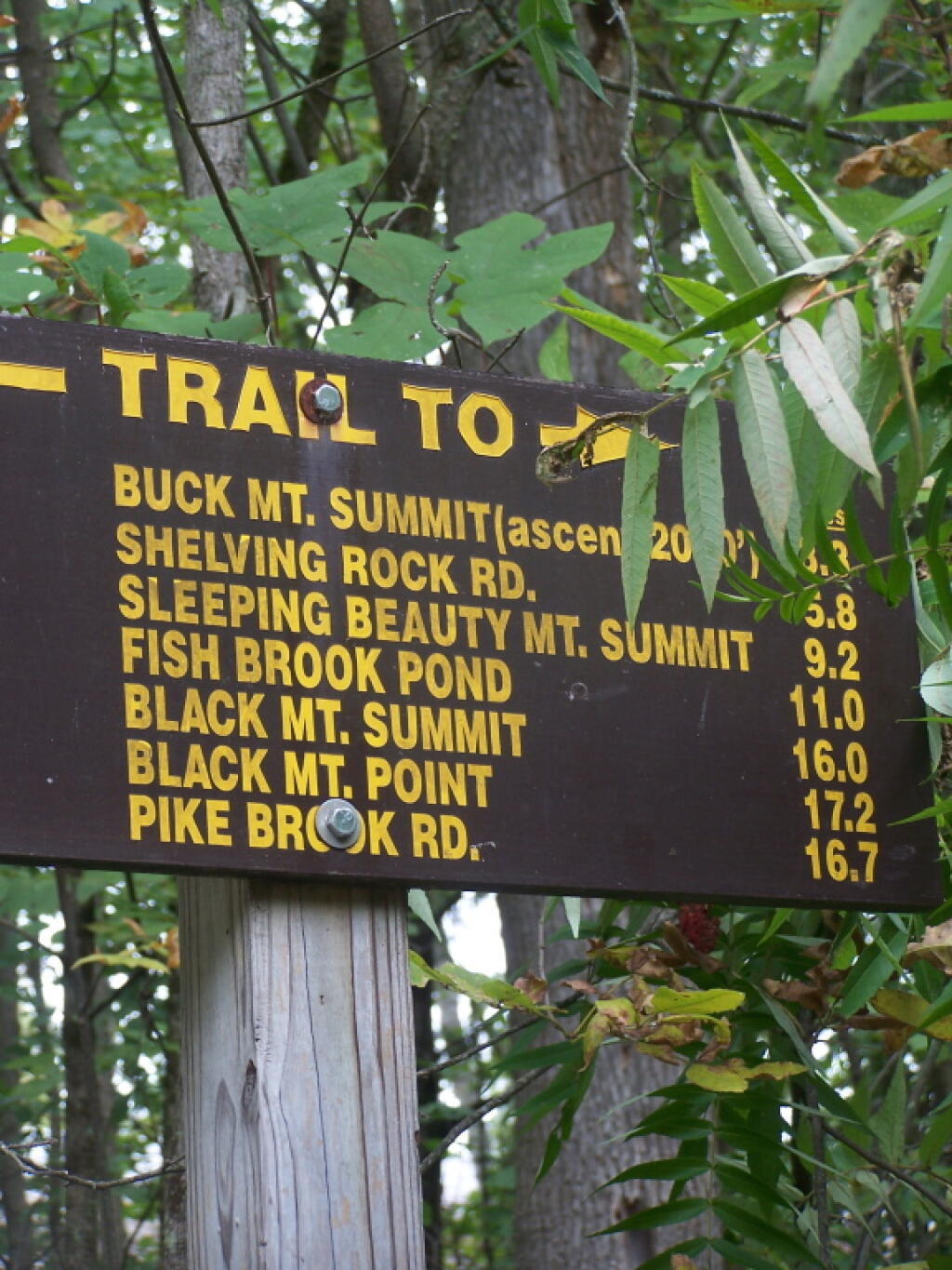
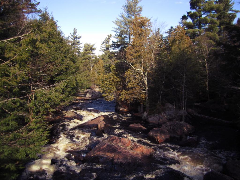
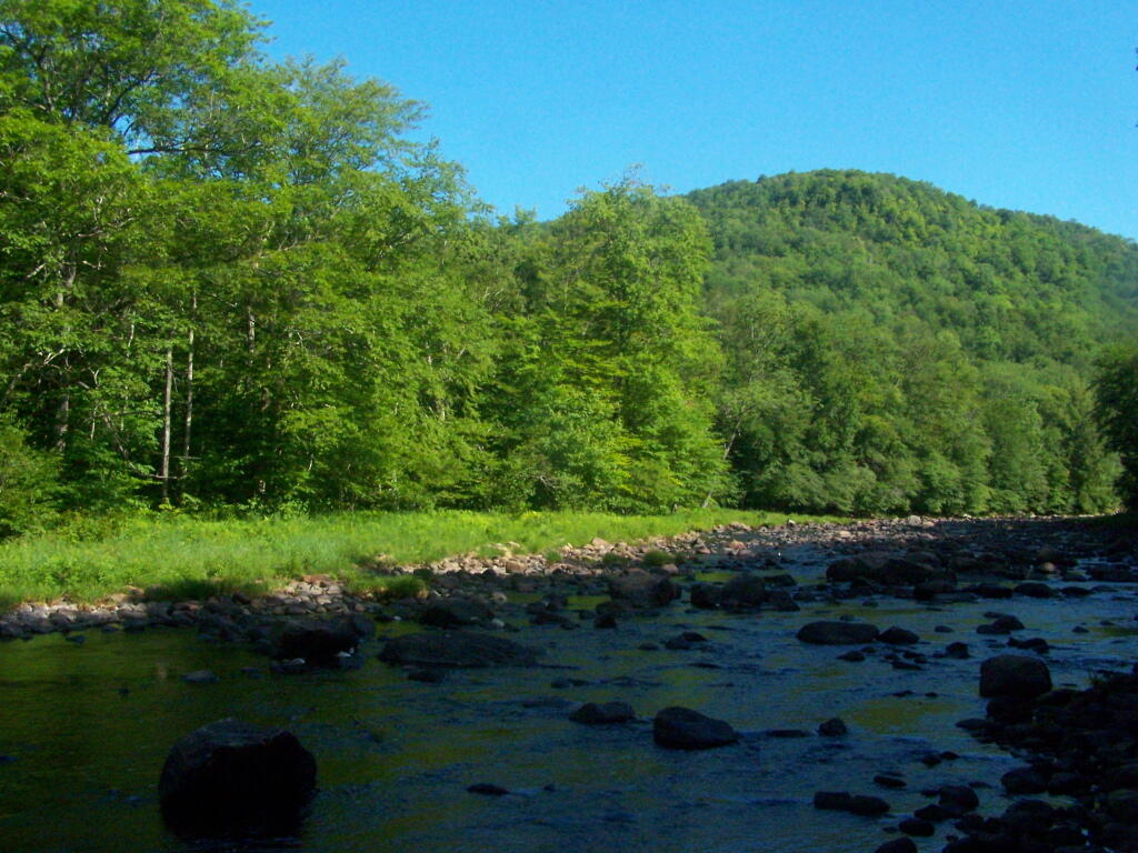
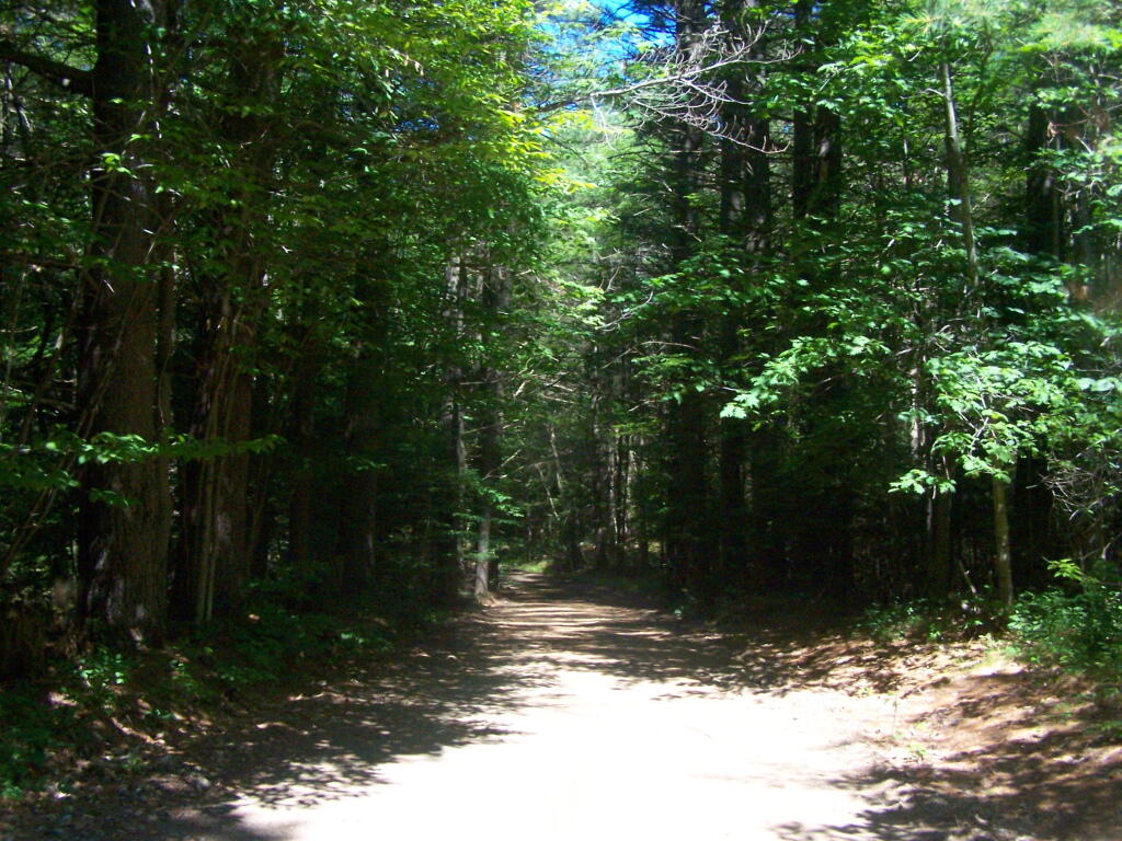
Remsen Falls.
Remsen Falls, which probably should be called “Remsen Rapids”, is a popular swimming place, and offers two well used campsites. There is an outhouse and picnic table down here. The trail follows a gated dirt road.
1) Roughly a quarter mile separation between each campsite to enhance privacy, allow people to make noise or listen to music into the night, without disturbing other parties.
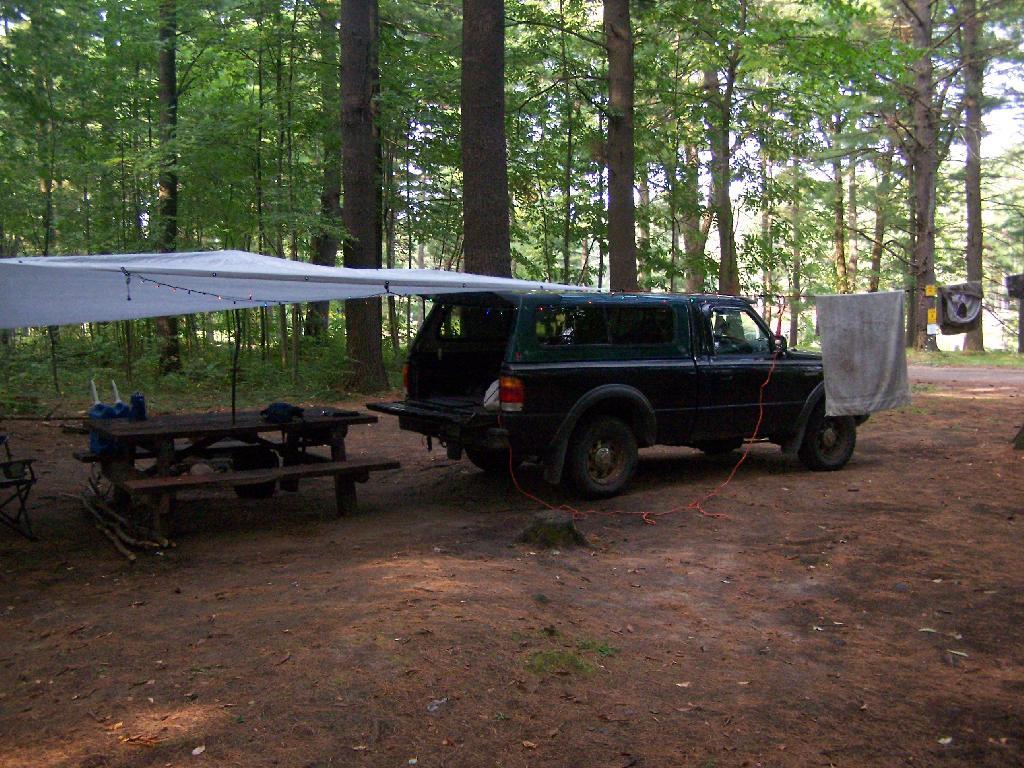
2) A flat place to park and set up camp, far enough off the road to provide some privacy buffer and ensure safety – i.e. not having people putting up tents right next to the truck trail where cars could be passing at any moment.
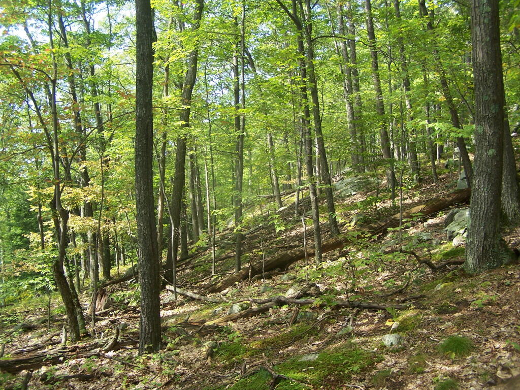
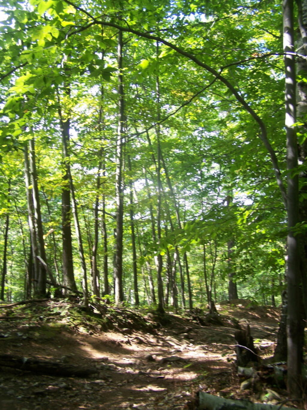
3) Provides wild forest experience, with tall and old growth or nearly old growth trees around the site.
4) Not aggressive regulation of campsites, minimal patrolling by government bureaucrats.
5) Provides a relatively flat and open place to camp with some gravel or elevation so it’s not too muddy even after use.
6) A clean site without a lot of litter – people should be encouraged to burn their burnable garbage, and make sure to pack out anything that can’t be burned. Fireplaces and firepits are much more desirable then stone rings.
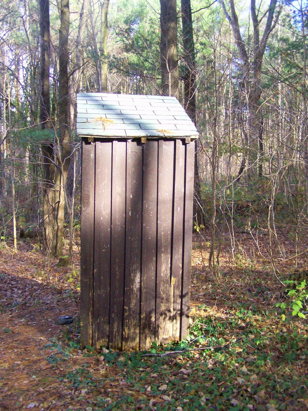
7) Outhouses help enhance sanitary conditions at campsites, especially well used ones. Too often campsites have litter in the form of toilet paper, and to a lesser extent human waste, from it getting dug up by animals.
8) Picnic tables are nice to have but not essential. Bring your own table!
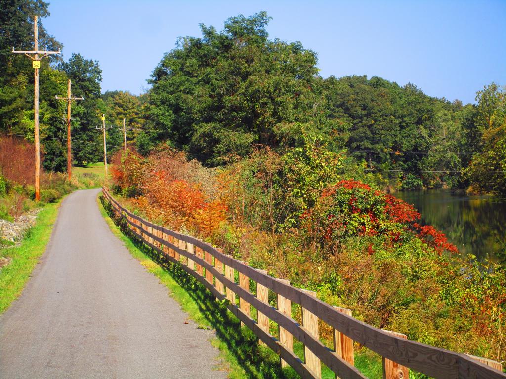
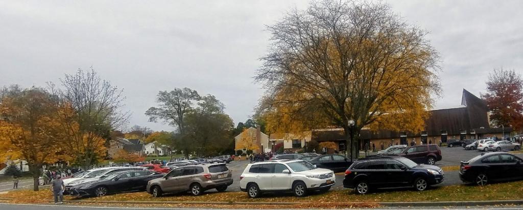
There are several campsites a on side roads, little ways off of NY 30, as you head North from Northville towards Wells NY. These campsites are nice if you starting off into the Adirondacks, and are looking for a convenient place to camp for the night, and want campsites quieter then those on NY 8 / East Sacanadaga River.
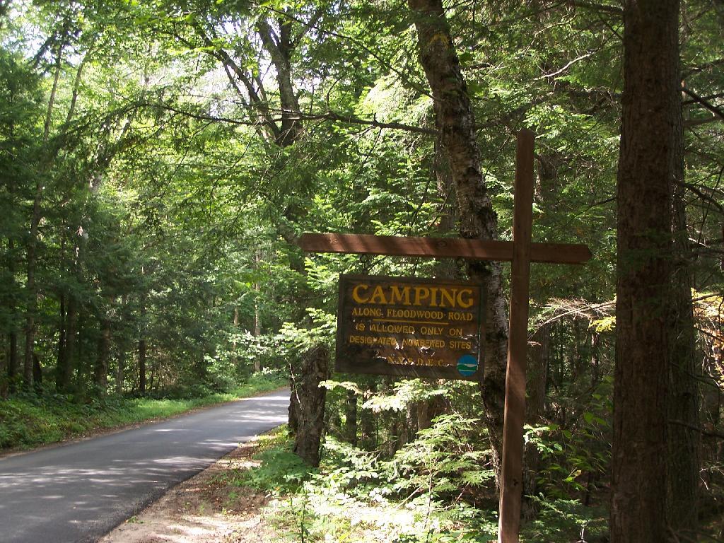
These sites are all designated with official “Camp Here” discs.
Road
Number of Sites
Hope Falls Road
3 Vehicle
3 Tent Sites
Pumpkin Hollow Road
2 Vehicle (Between Willis Lake and Inholding)
1 Vehicle (Beyond Inholding)
Hope Falls Road.
From Northville on Hope Falls Road, you drive north and north. The paved road goes on for several miles, until you finally reach the “Seasonal Use Only” sign, and hte pavement ends it becomes a one lane road.
Click the map above to print it.
None of these campsites are particularly fancy, although there is a single outhouse for the first grouping of campsites on the southern port of the road.
All of the campsites run along Stoney Creek …
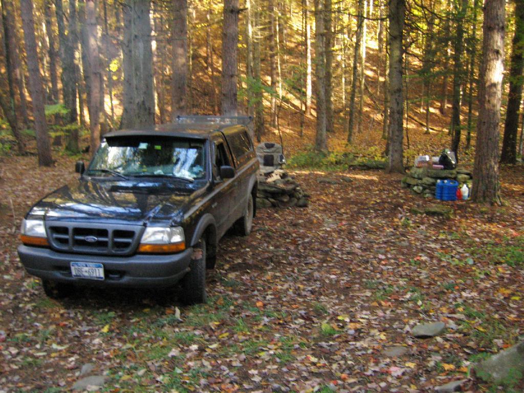
Pumpkin Hollow.
The campsites are a ways back on Pumpkin Hollow Road, a dirt road, beyond Willis Lake and the camps along it. Pumpkin hollow is a short ways south of the Sacanadaga River DEC Campground, it starts out as a paved road by a white house, then eventually a mile or two back becomes unpaved and one lane.
You can print the above map by clicking on it and printing it.
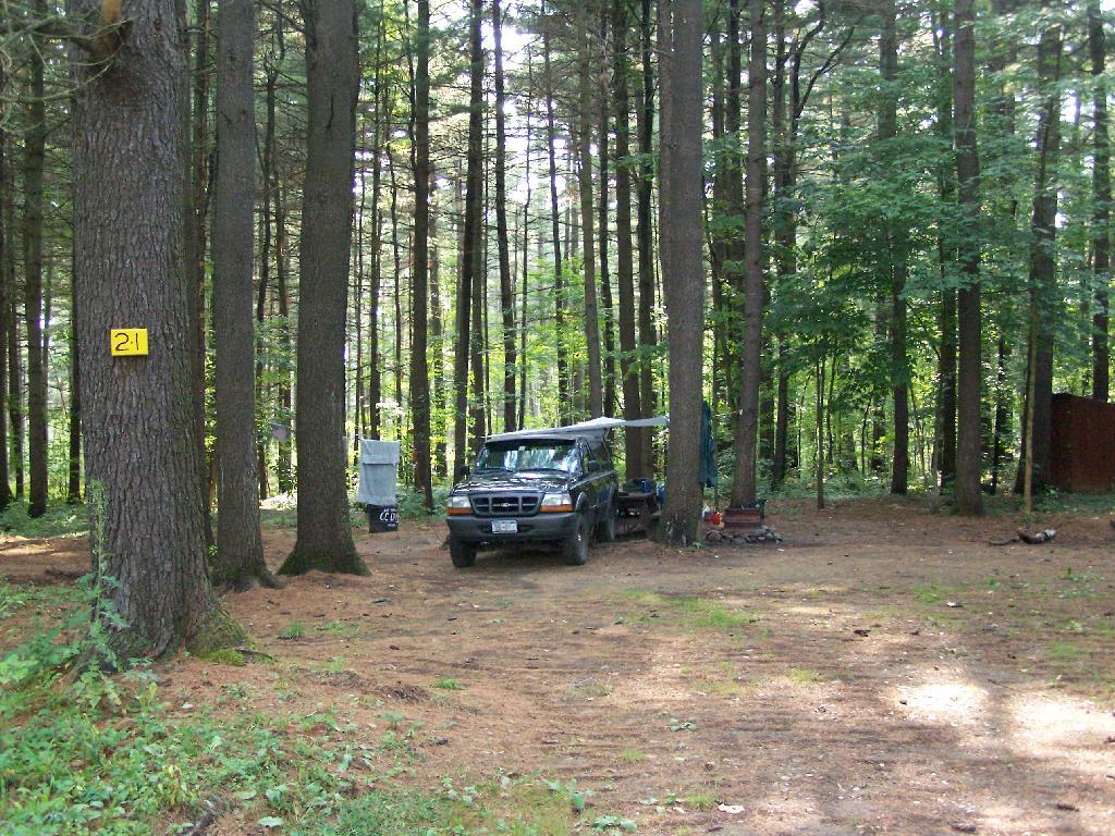
Here’s sample designated campsite on Pumpkin Hollow Road.
The problem is, for many New Yorkers, the largest and most interesting parcels — the Catskill Forest Preserve, the Adirondack Forest Preserve, larger state forests like Brookfield Horse Camp, Brashier Falls, Tug Hill State Forest, Sugar Hill, are all a long drive from where they live.
This map shows the town population versus the location of state forest and forest preserve lands that are popular for hiking, camping, fishing and hunting. I did not include state parks. Note how unpopulated most areas are with large state forests.
To demostrate how dramatic this is, take a look at a map of urbanized or otherwise developed areas of New York State based on Landstat data. Yellows are suburban areas, while reds are urbanized downtowns with few trees or forest — the kind of people you would think would most likely want to spend time in the woods.
Maybe we don’t want lots of urban folks coming to the state forests. Maybe there remoteness keeps people away. Yet, it shows the large disconnect from large public lands and the population centers across our state.