Fish Creek Ponds is a series of largely connected ponds in Northern Adirondacks, North of Tupper Lake. On Floodwood Road, there are series of 15 free drive in campsites one can camp at, with about half of them located on various lakes along Floodwood Road. On Friday night, August 13, I camped out at Poliwog Pond, and then paddled around it a bit in the evening, and then again in the morning. I also drove out around Floodwood Road, to look at the ponds and other campsites along it.
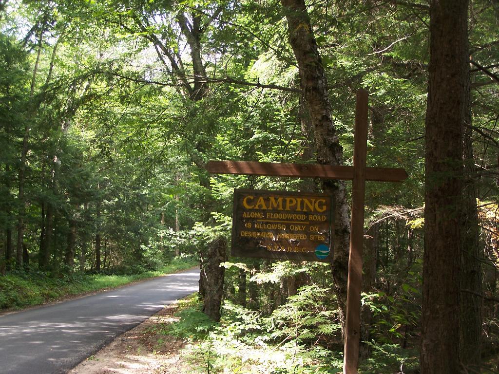
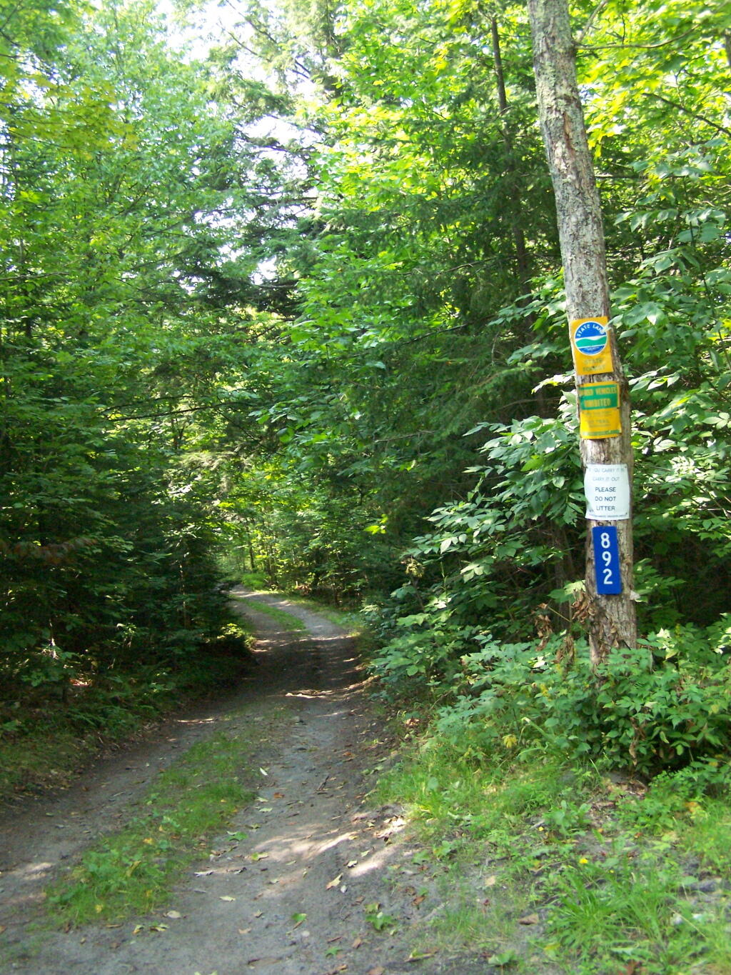
Camping Only At Designated Sites. This sign is found along the beginning of Floodwood Road, prior to the blacktop running out. There are 15 sites, that appear not to be fully used, on this lake.
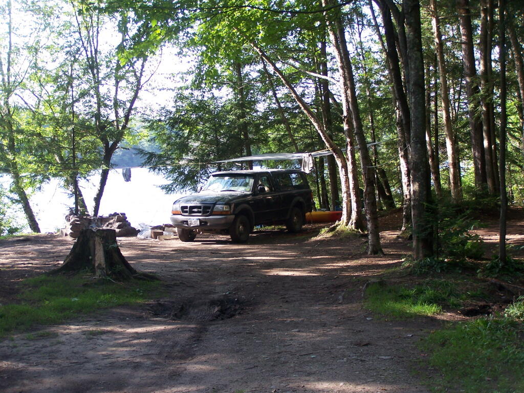
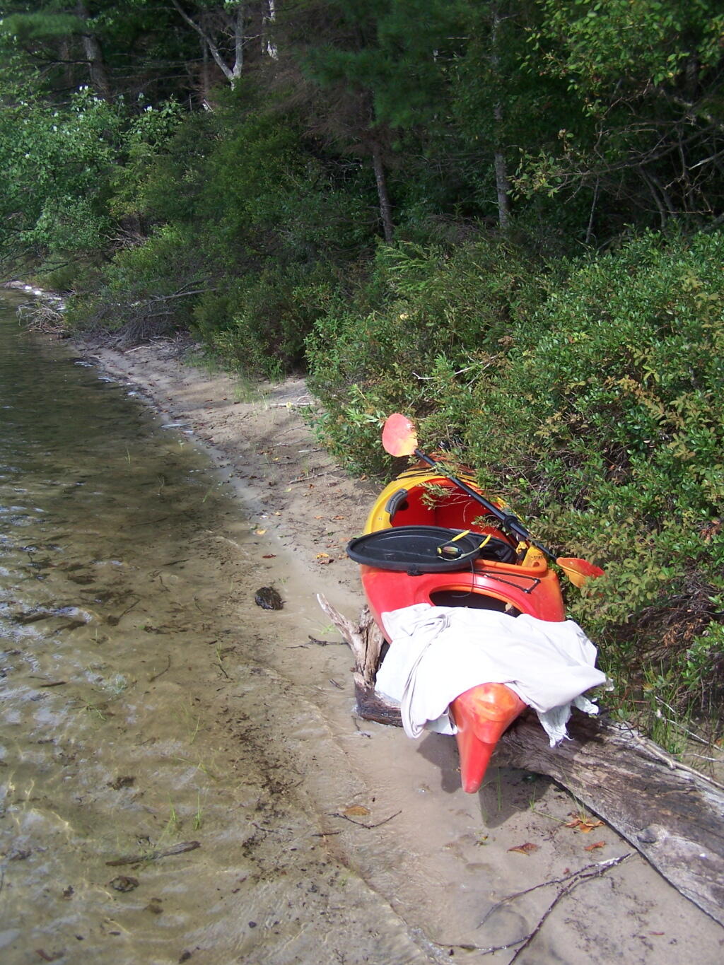
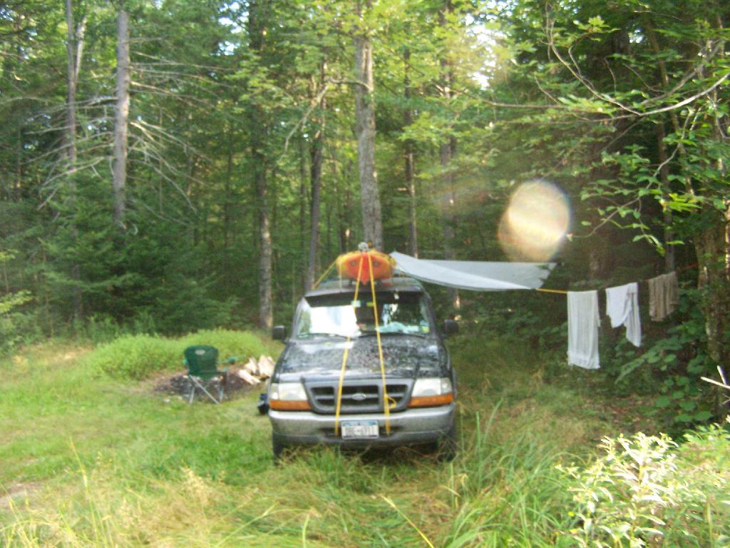
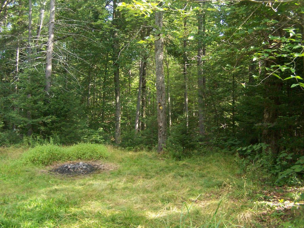
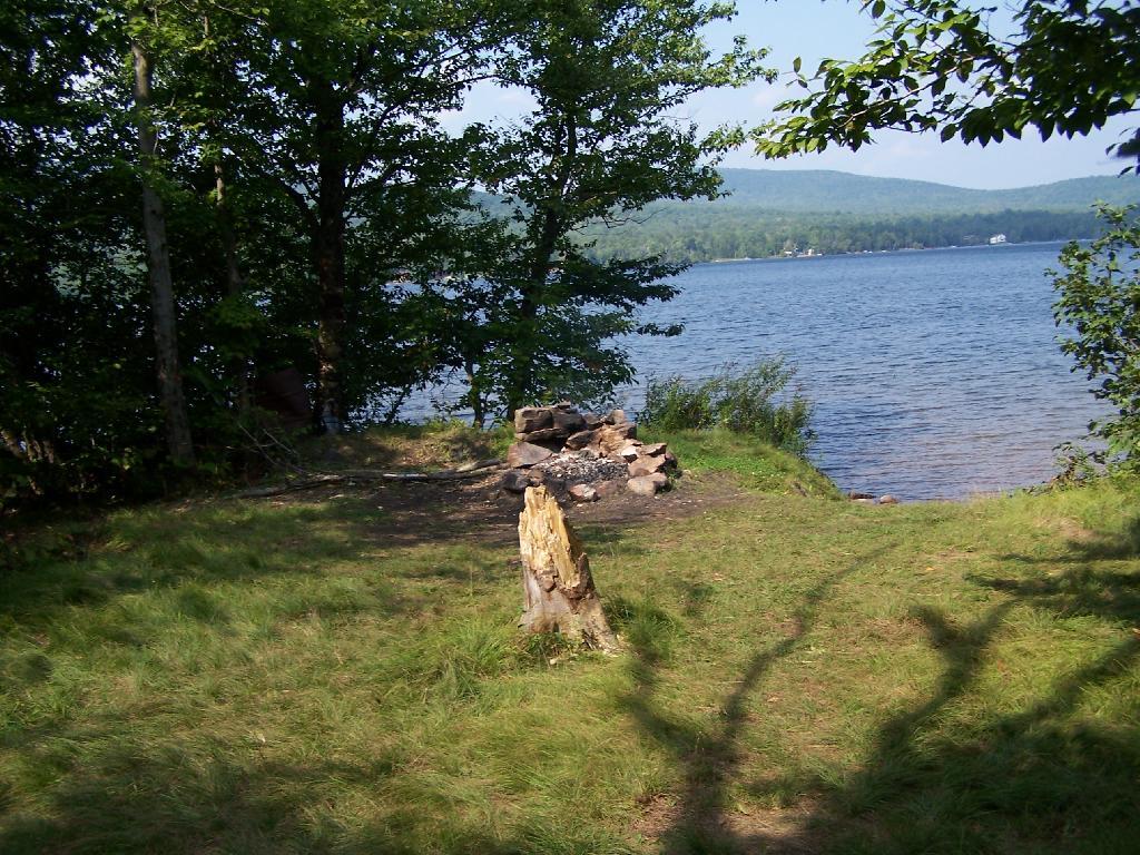
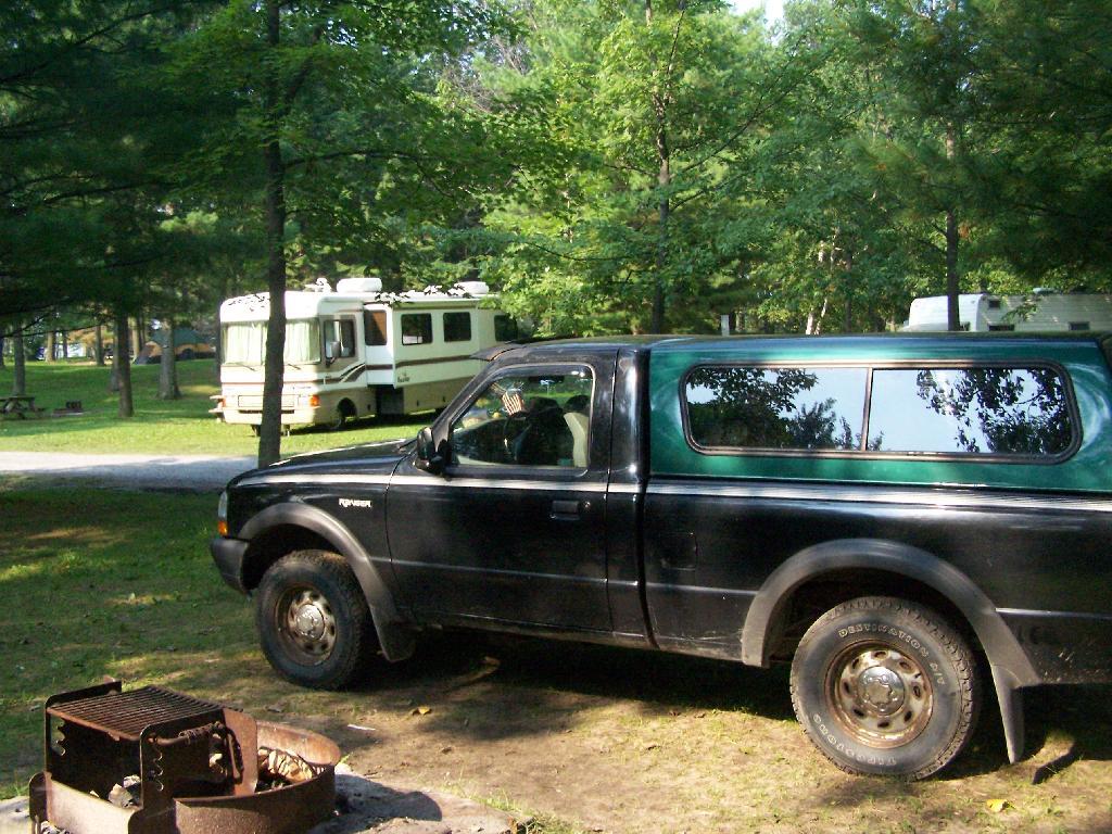
Campsite on Polliwog Pond that I stayed at on August 13th. This site would be truly the most perfect in the world, except for being so close to another one and the fact that the beach area next to the site was kind of swampy and not nice.
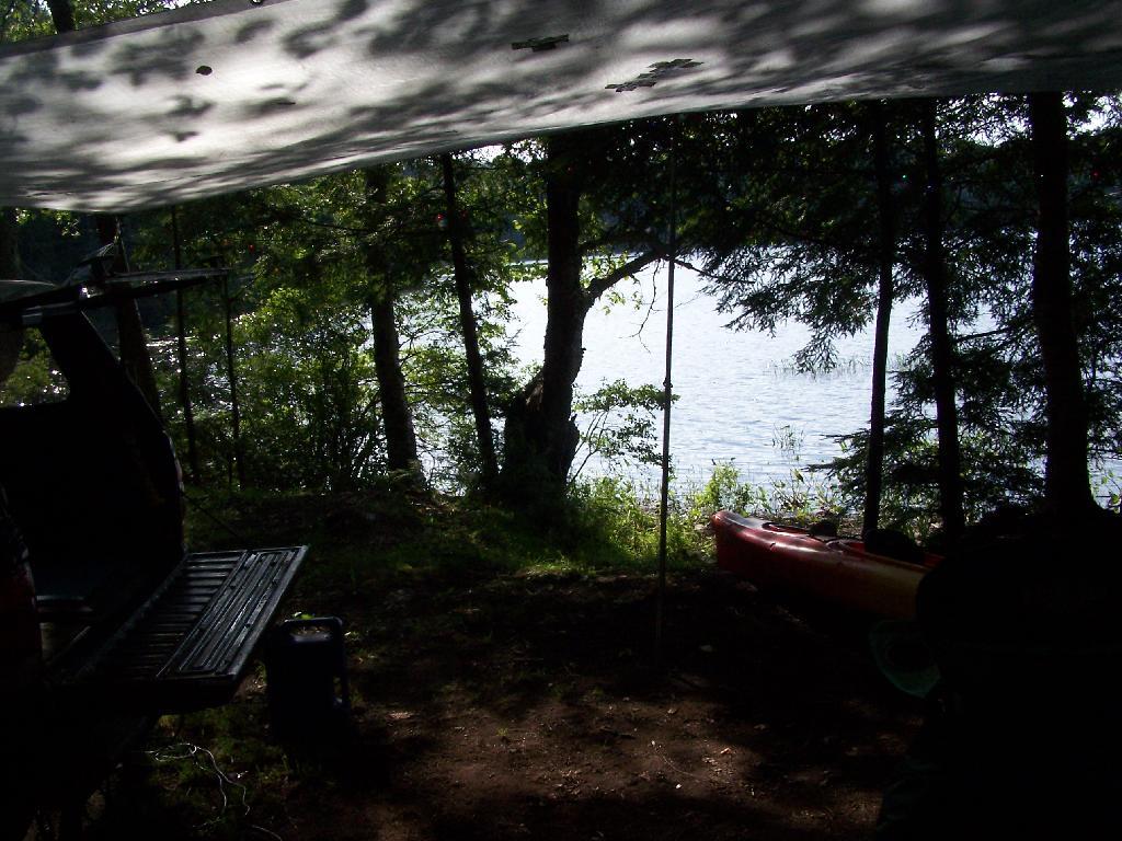
Under the Tarp. While when I was up at Poliwog Pond I didn’t really need the tarp, I set up a tarp. It was a beautiful day out for sure down here, right on the pond. The tarp was easy to set up, with the plentiful trees to make it easy to tie up.
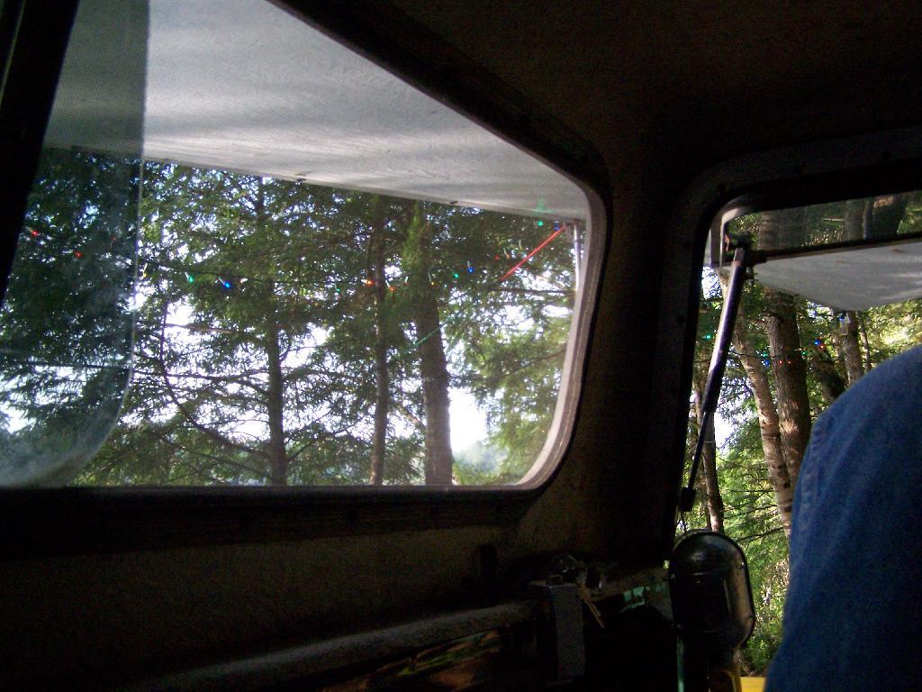
Laying Back in Truck Cap. Ah, mornings. Lazy times. But then again, I got to paddle around the lake, get some pictures, pack up and head north. So be it.
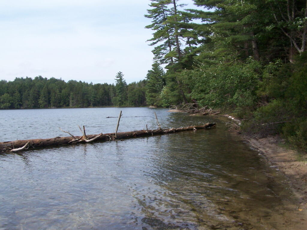
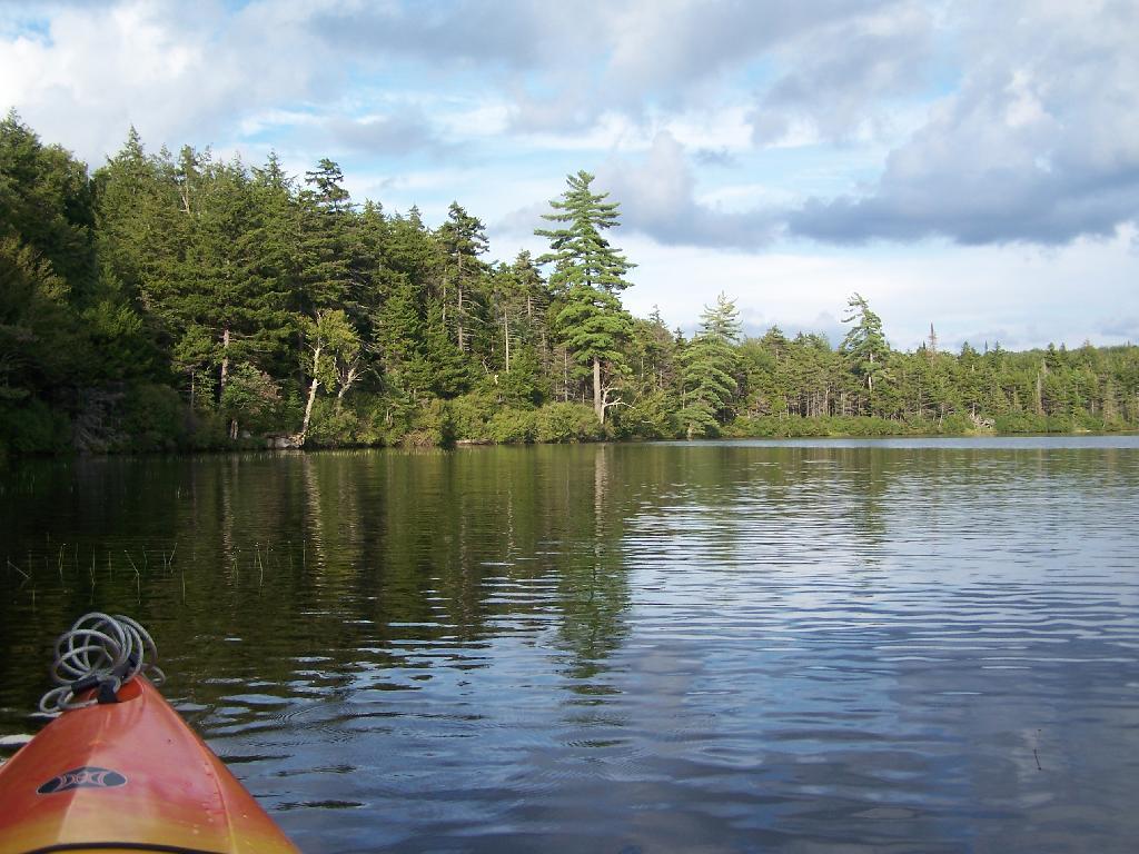
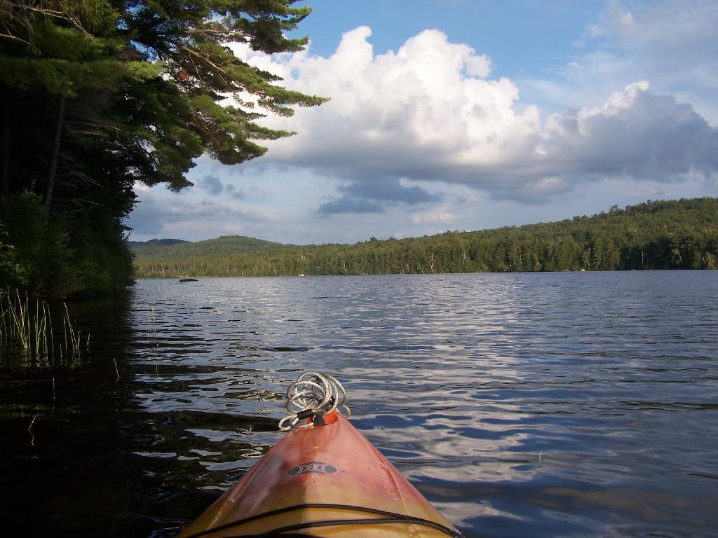
Private Bay for Swimming. Once I started to get ready, I put on my swimming trunks, paddled across the lake, around an peninsula, to a very private bay. I took a “bath” using the teapot, soap, and shampoo on the bank, washed the soap off, then went swimming in my own little private beach. Nobody else was around! It was wonderful.
Perfect Area for Swimming. The downed tree blocked the waves, it was sandy beach. I really liked this area a lot.
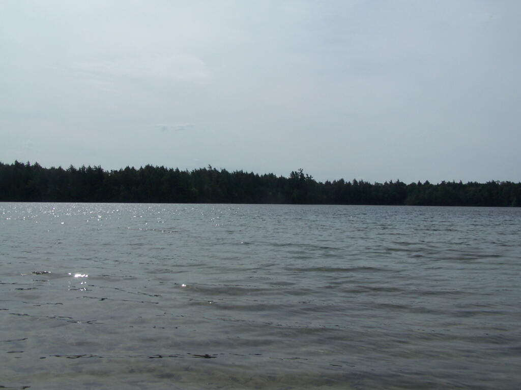
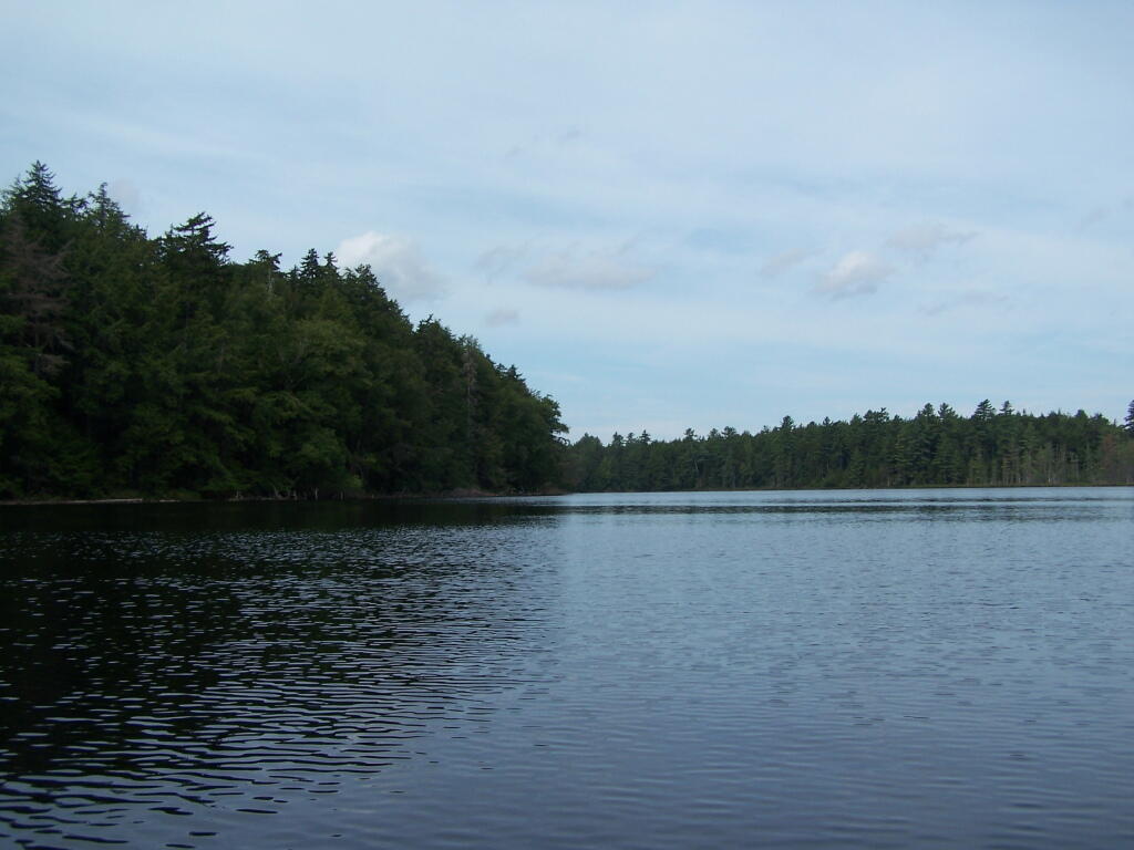
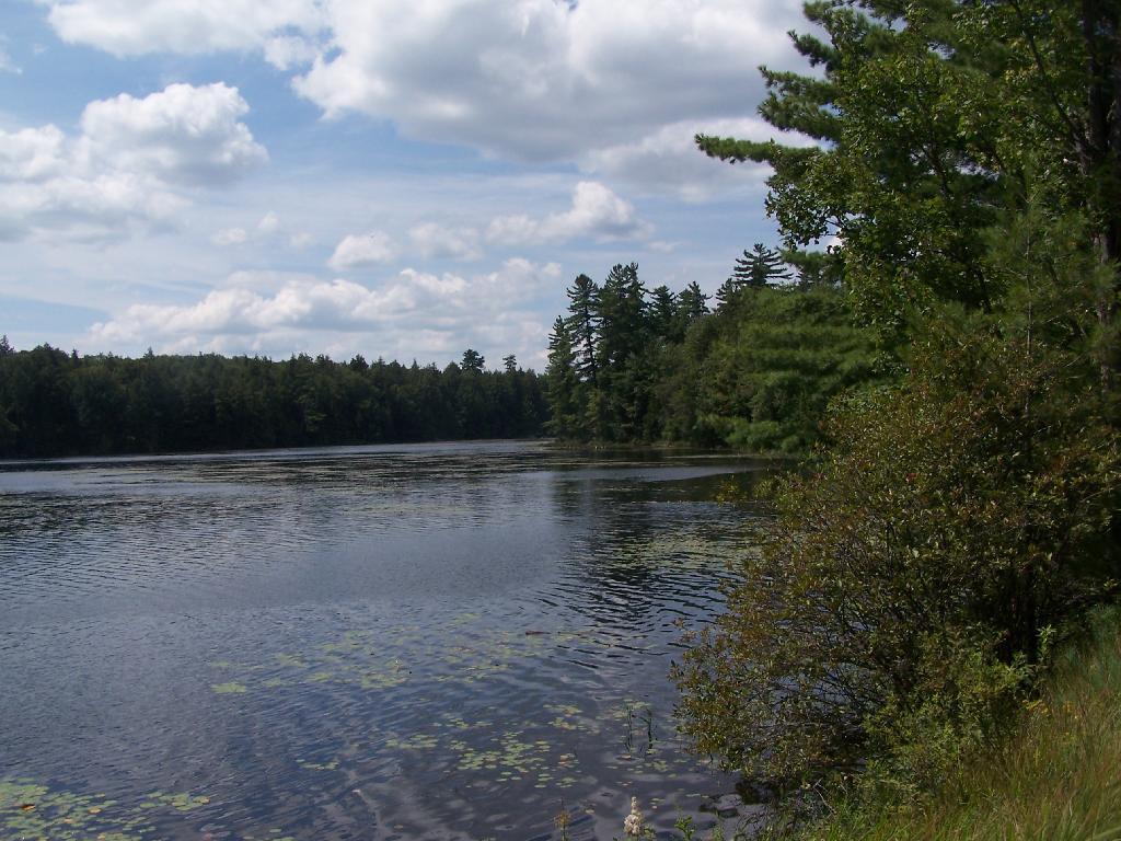
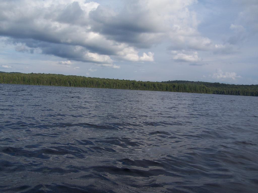
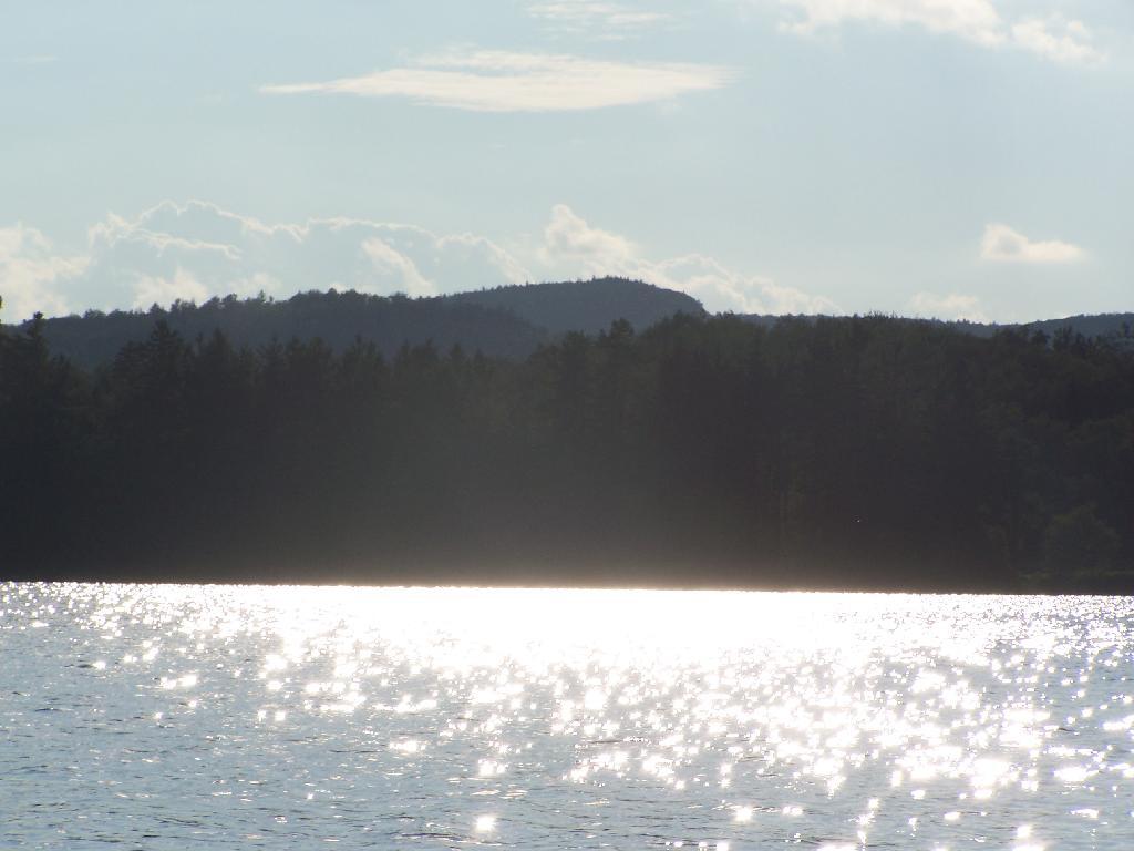
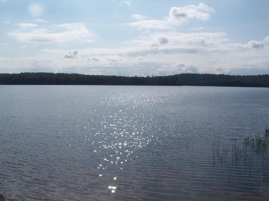
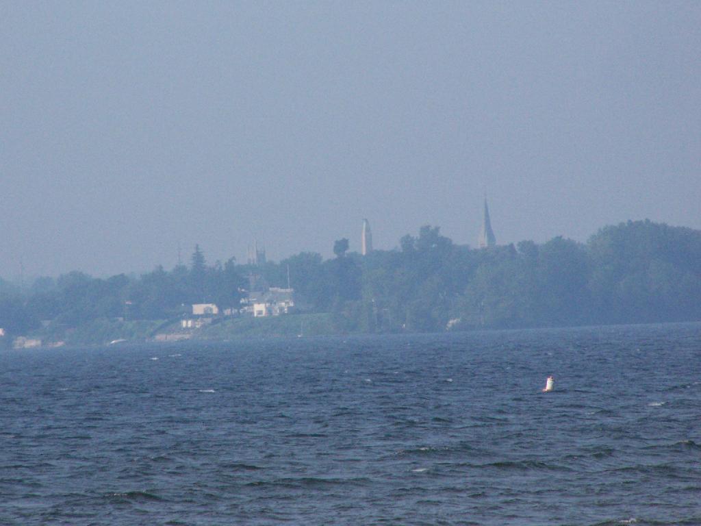
Across Poliwog Pond. It’s a remarkably hazy summer day. This is from the south bay of the pond, where I was swimming and getting cleaned up in the morning.
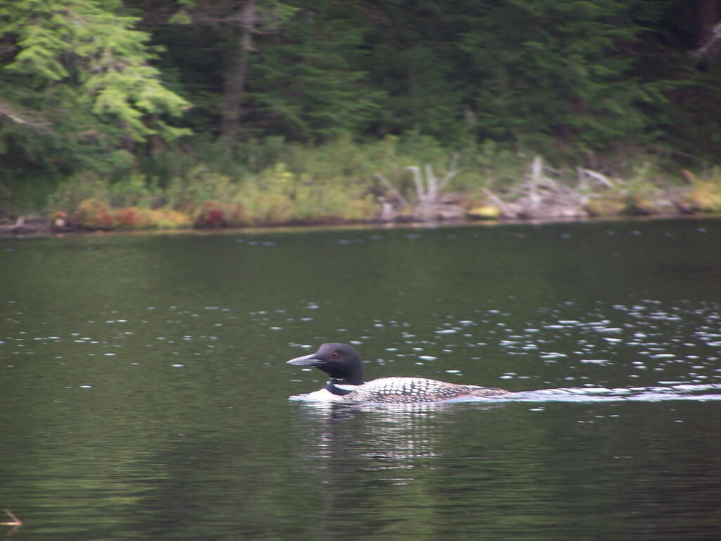
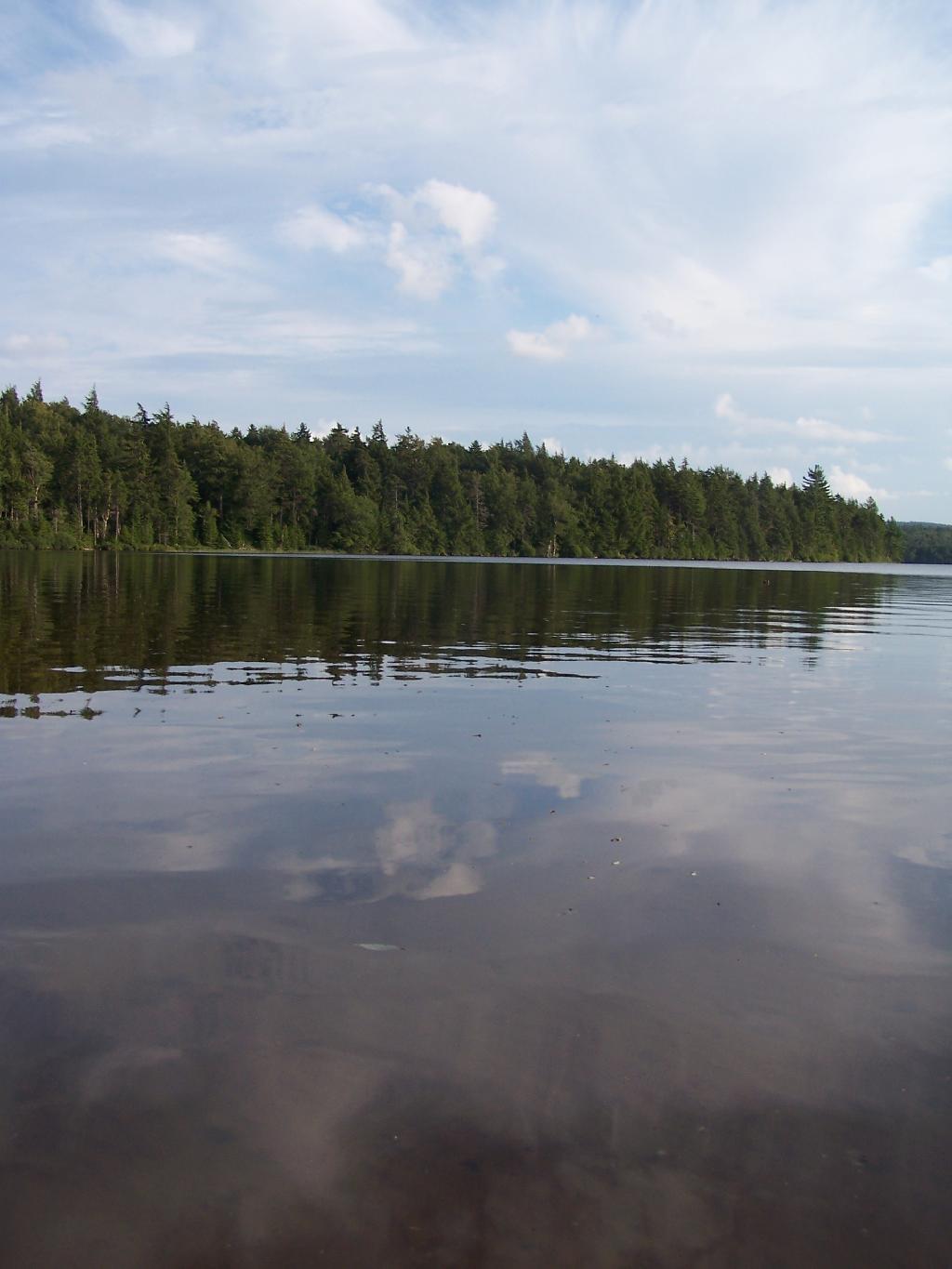
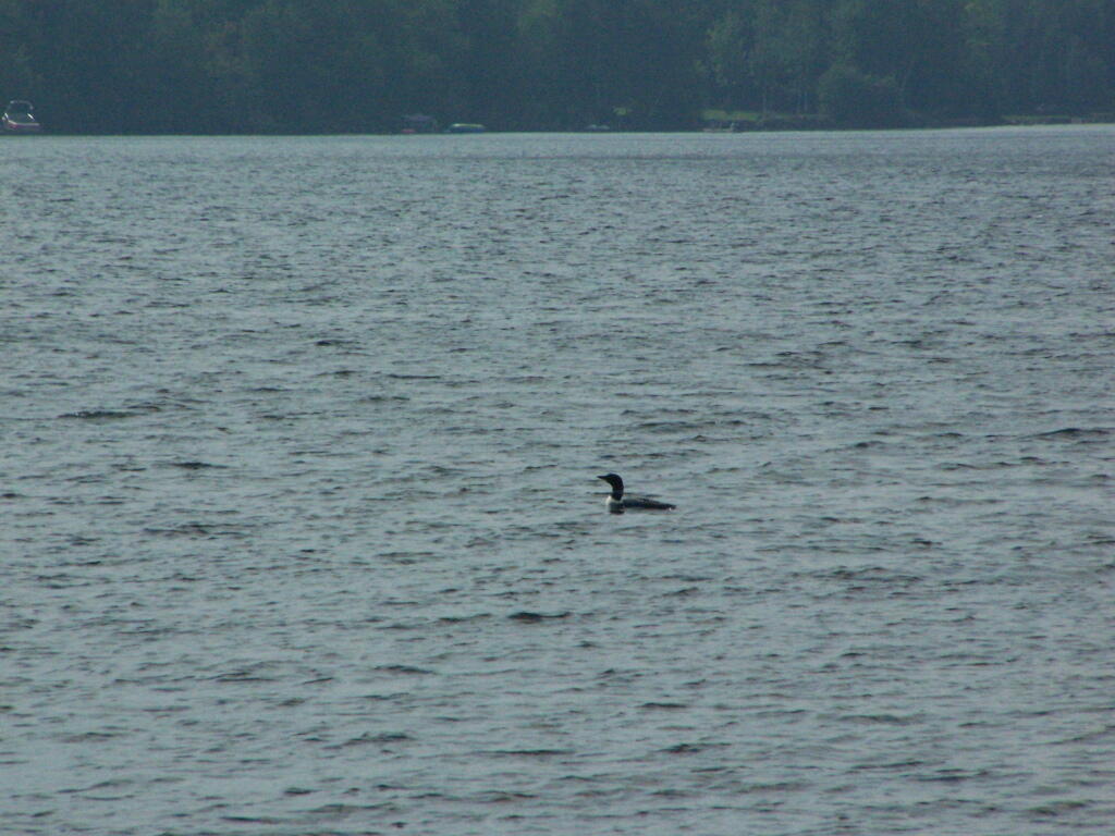
Loon. Throughout the night at Poliwog Pond, there was loon calling back and forth. This is located on the western bay of Poliwog Pond.
Western Bay of Poliwog Pond. There was somebody camping up on the banks, but other then that it was relatively quiet.
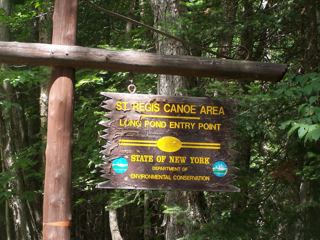
Long Pond Entrance. While I didn’t get a chance to haul my kayak into Long Pond, and do some paddling around there, this is the access point fo the Saint Regis Canoe area. It looked very popular.
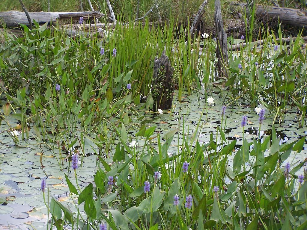
Swamp Across from East Pond. This was located directly across East Pond on Floodwood Road.
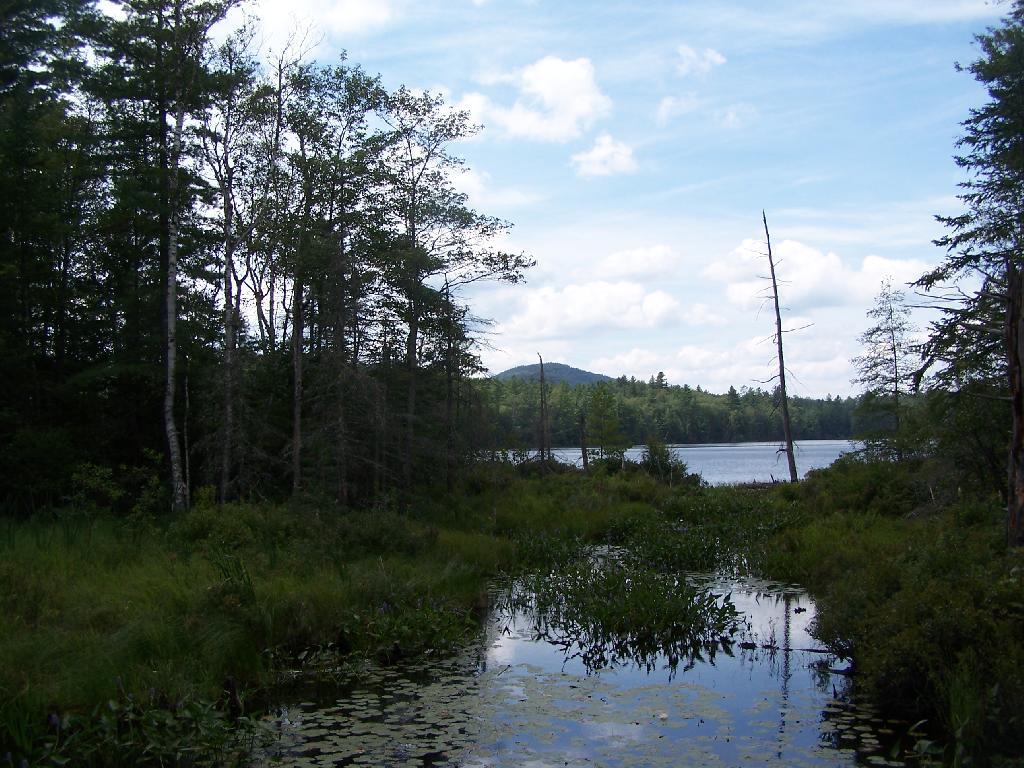
East Pond. On Floodwood Road. Looked quite pretty. There is one drive-in campsite in here, along with an accessible boat dock.
Middle Pond. On Floodwood Pond road. There also is a large drive-in campsite on Middle Pond.
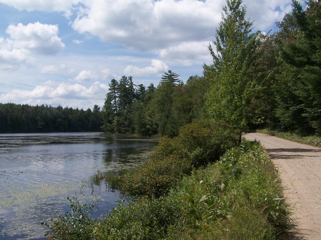
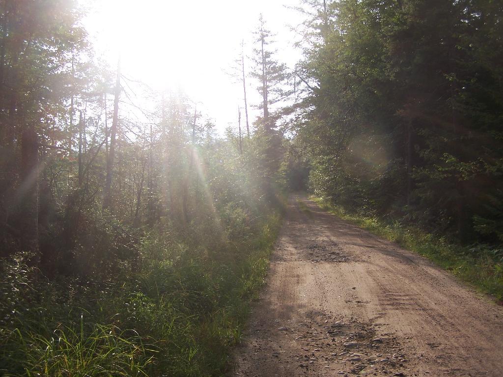
Floodwood Road. There are 15 drive in campsites on this very dusty dirt road, that is heavily traveled, mostly by people heading to the Boy Scout Camp and the Saint Regis Canoe Area. This along Middle Pond.
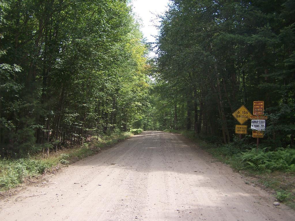
Floodwood Road at Franklin County. This is where you cross from being in very remote Town of Altamont to Santa Clara. Pretty area for sure.
Here is a map of Floodwood Road, Polliwog Pond, and surrounding ponds.
Horseshoe Lake is located on South Eastern Saint Lawrence County, on a dead end state highway, NY 421, a spur from NY 30 South of Tupper Lake. It offers 6 campsites scattered along the lake, with 6 others on nearby roads. It is also near the Bog River Flow Canoe/Kayak Area.
Six Miles to Horseshoe Lake. This is the turn off for NY 421, one of the strangest state highways in the state. It is a dead ended highway, that leads to gravel roads around Horseshoe Lake and Bog River Flow. It is very twisty and narrow, and portions have not been resurfaced in over 50 years.
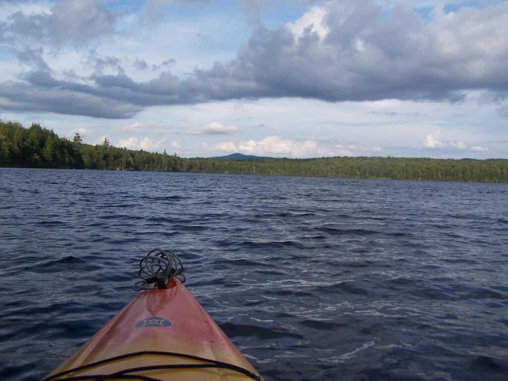
Towards Mt Morris. Paddling across Horseshoe Lake. As you can see, the land around here is very flat, former timber country. In the distance is Mount Morris, near Tupper Lake.
Choppy Waters. The water was somewhat choppy on Horsehoe Lake as there was a steady breeze as the weather was clearing out.
Northeast Tip. This is the upper tip of the Horseshoe Lake, in the most North-Eastern portion.
Heading Around The U. Horseshoe Lake is fairly large, all things considered. The open bays can be a bit rough, especially when you get into the wider portion of the U in the horseshoe.
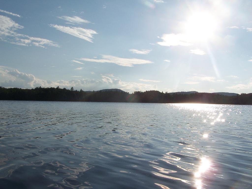
Blinding Sun. Heading West across the Lake, I was going directly in the path of sun at 7 PM. Even with sunglasses on, the sun was bright and painful, leading to a temporary sunblindness. I ended up tacking North-West then South-West to avoid the sun, and the choppiness of the water.
Glare. In the background rises Silver Lake Mountain, that beautiful ridge one sees most clearly from paddling around Hitchins Pond/Lows Lake in the Bog River Canoe Area.
Other End of Lake. This is where NY 421 first hits the lake, heading west on NY 421 from Mountain Camp. You could say that it’s other tip of the Horseshoe. About 3 campsites, spaced 1/2 mile apart, are located on the lake.
Horseshoe Lake is located on South Eastern Saint Lawrence County, on a dead end state highway, NY 421, a spur from NY 30 South of Tupper Lake. It offers 6 campsites scattered along the lake, with 6 others on nearby roads. It is also near the Bog River Flow Canoe/Kayak Area. Don’t expect to get a campsite on the lake in the afternoon, but the sites along the truck trail are rarely used.
Six Miles to Horseshoe Lake. This is the turn off for NY 421, one of the strangest state highways in the state. It is a dead ended highway, that leads to gravel roads around Horseshoe Lake and Bog River Flow. It is very twisty and narrow, and portions have not been resurfaced in over 50 years.
After The Pavement Runs Out. About a two miles from the paved end of NY 421, I camped. This is first thing in the morning, with the sun shining down from the wetlands near where I camped.
Campsite No 9. This is Campsite No 9 at Horseshoe Lake, on an Unnamed Adirondack Park Road, about two miles from the end of NY 421/Paved. I could not get site on the lake, arriving at 5 PM at night, but it’s still a nice campsite. This area of Saint Lawrence County is so remote, only 2 big pickup trucks, and logging truck passed by in the 12 or so hours I was there.
Not Fancy Campsite. By no means was Campsite No 9 on the Unnamed Road, particularly fancy. But it provided a place to camp, and was a three minute drive down to the lake. I could have gotten a spot on Horseshoe Lake most likely had I arrived in the morning, as it seemed like campsites tended to clear out in the morning.
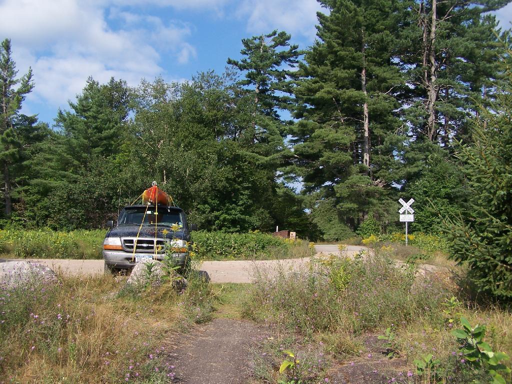
Road Crosses Railroad Tracks. This is where the weird hair-pin turn appears on maps at the end of NY 421. I’m not sure why it follows this route, as the terrain is flat, but maybe at one time there was an inholding or private home located in here.
Horseshoe Lake in Morning. Heading swimming in a couple of minutes. The water was real nice.
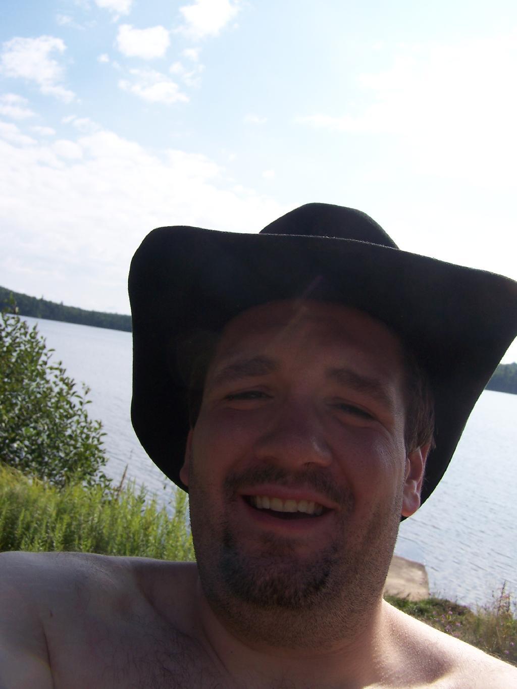
Cowboy Hat, Swimming Trunks, Work Boots. Not that you could get the total picture from this image. But the cowboy hat and work boots came off before the dip. A real country boy thing.
Unnamed Dirt Road. This is the road that goes from Horseshoe Lake to Mount Arab / Piercefield.
Wetlands Along Horseshoe Lake. This is about a mile after the pavement runs out on NY 421, just after the Bog River Flow / Lower Lows Dam Road turn-off
Here is a map of where I camped, on the truck trail, west of Horseshoe Lake.
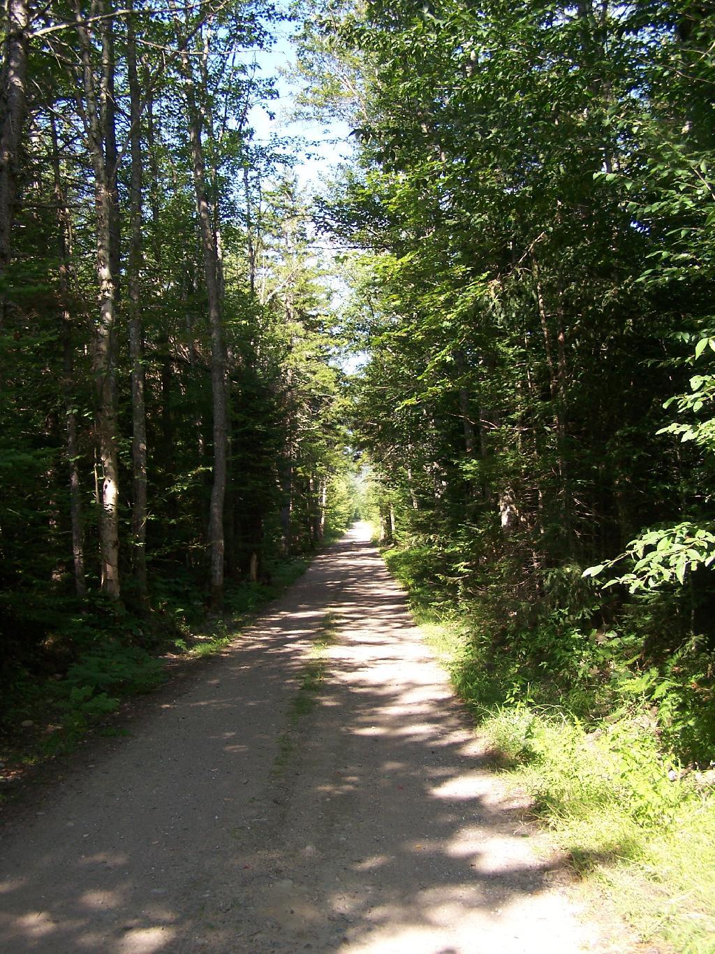
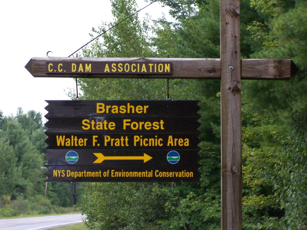
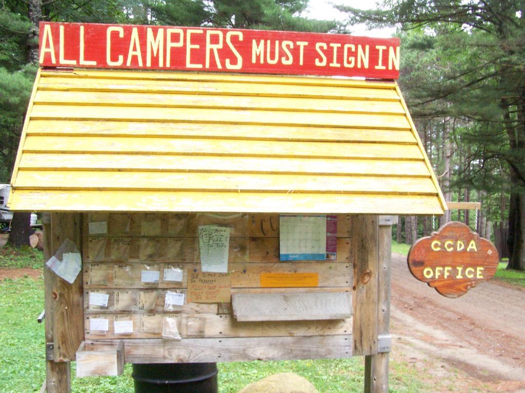
About 5 miles north of North Lawerence, on Saint Lawerence County Route 55 there is a sign for the Brasher State Forest and Walter Pratt Picnic (and Primitive Camping) Area, maintained CC Dam Association.
As you enter the camping area, there is a sign for the picnic area along the lake, and camping on the other side of the road. Originally they allowed camping on both sides of the road, but concerns about run-off and other pollution from campers relocated the sites to the other side of the road.
If you want to camp, all you have to do is sign-in on a card, and stick it in the retrospective window. This so they can contact you during an emergency. You can stay for up to 3 nigths, or longer if you get up to a 2-week renewable permit from the DEC.
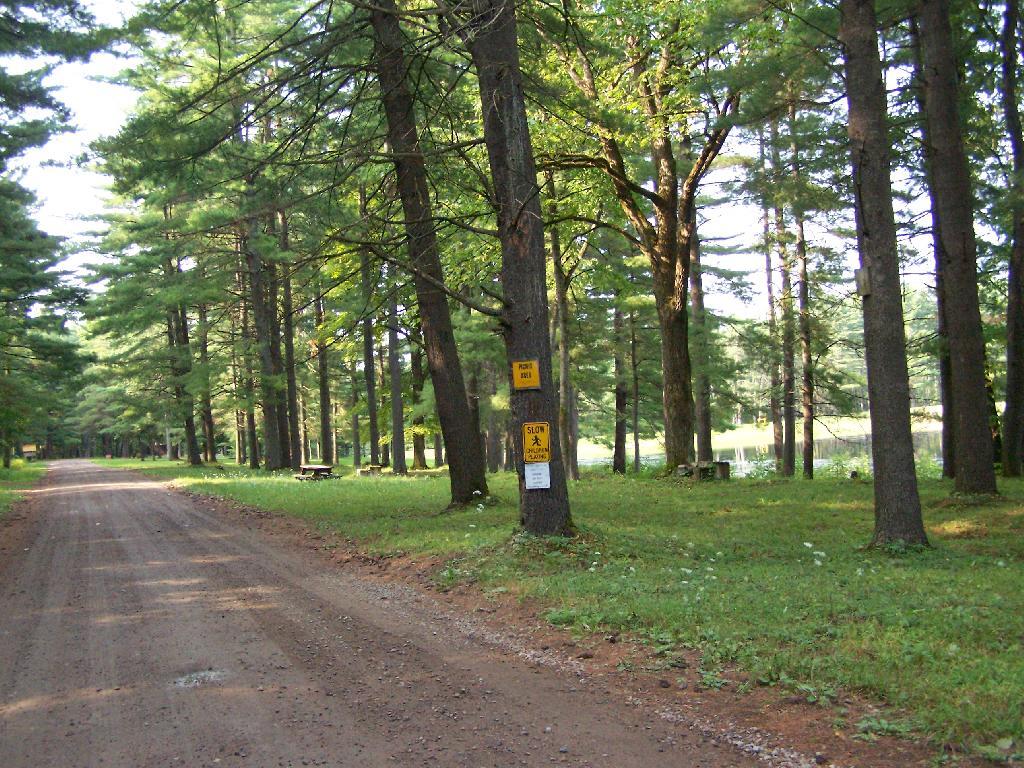
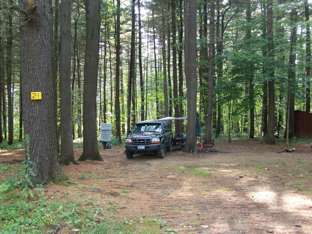
The campsites are quite nice. Not all of them are as separated as this one, but I wanted one that was a little farther away for some peace and quiet. Also I figured I could listen to music as loud as I wanted to here.
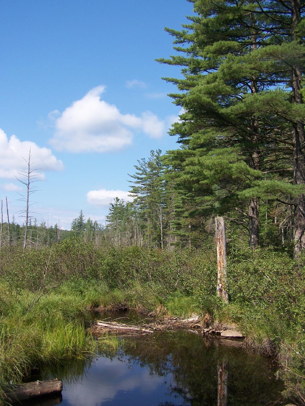
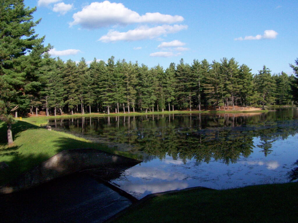
One of the major features of the area is a beautiful dammed up section of the Red Brook, that creates an artificial lake. The Civilian Conservation Corps Dam, built in the 1930s, is where CC Dam Association name comes from.
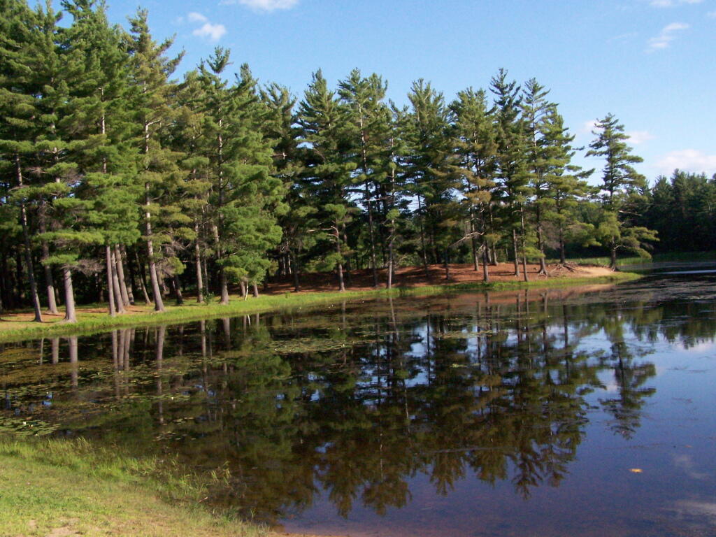
There is a swimming beach where people can swim at their own risk. As you can see, it’s some pretty nice swimming, although the lake is a little muckier then it appears in the pictures, and is a natural reddish color from the minerals in the sand of the Saint Lawrence County.
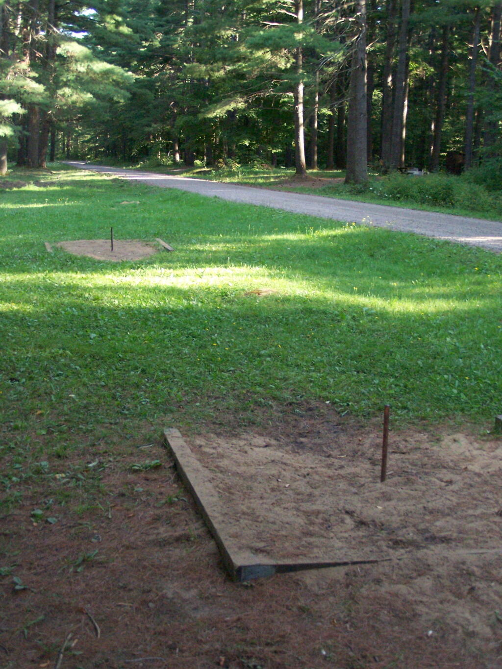
They have a horseshoe pit.
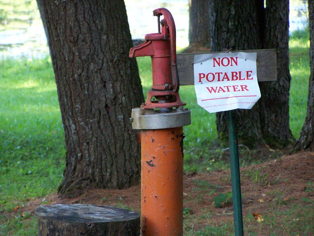
They have a hand pump for one to get drinking water. It’s marked non-potable, probably because it draws from the same shallow aquifer of the lake. You can easily boil it on a stove to make it safe to drink.
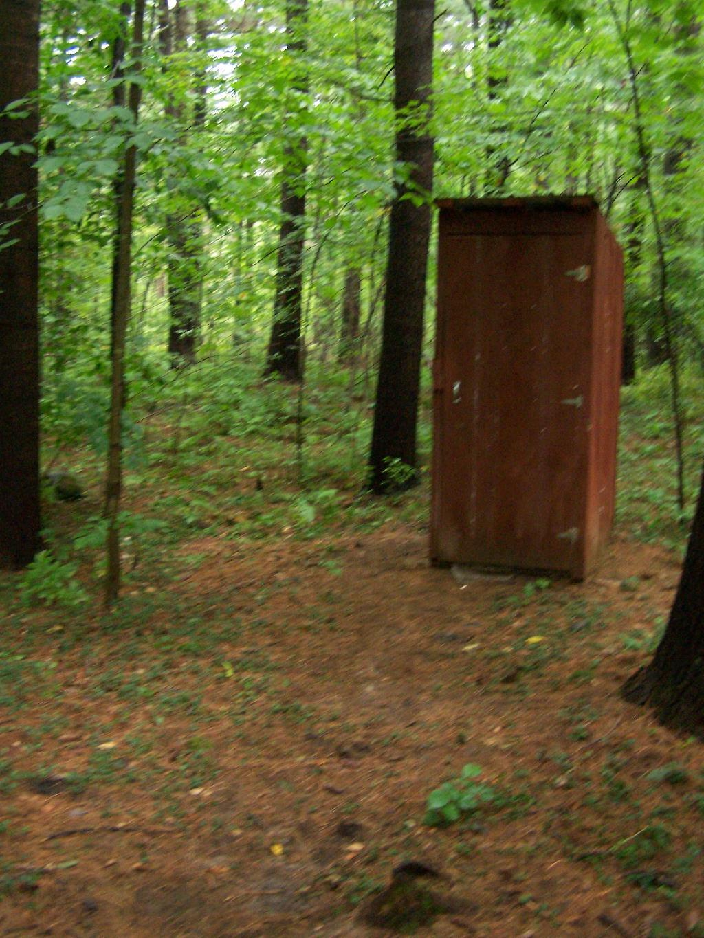
The outhouses are in quite nice shape and very clean as you can see from these inside and outside pictures.
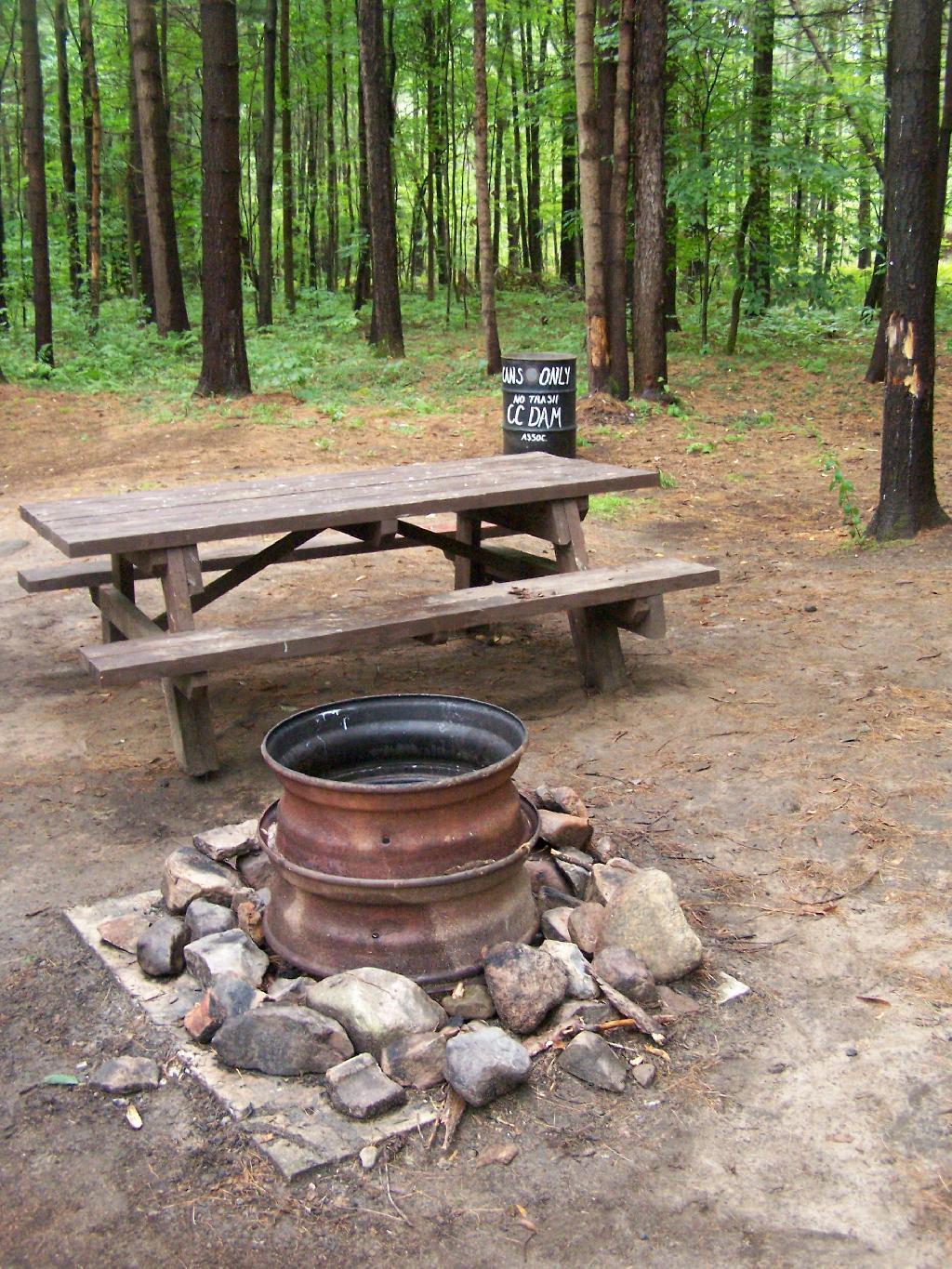
The sites are just wonderful. Here is Campsite 21 after I had put away all my gear before heading out. The fire pit rings vary, but for a free place, are pretty darn awesome.
The CC Dam Association is made up of volunteers from the Tri-Town Region of Saint Lawerence County, the nick-name for the Brasher Falls/Brasher/North Lawerence hamlets that dot the country south of Malone.
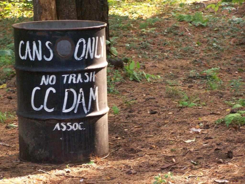
They collect old beer cans and accept donations via the mail for fundraising. Since camping is free, and the place is so well up-kept, I’m sure they apprechiate the help. Not to mention, collecting beer cans probably reduces litter, because people can’t really burn them, and some can be lazy about packing out their trash.
There are a number of other marked campsites on other truck trails in Brasher State Forest, including down by the Tri-Town Horse Trail area near Brasher Falls. In addition, there are dozens of miles of truck trail to drive legally in a pickup, ride with a horse or mountain bike, or illegally on a quad.
Here is a map of Brasher Falls State Forest and it’s relationship to Massena. You can zoom in for more details. NYS DEC Land Mapper has a run down of the trails.
On Lake Chazy, the state owns about 800 feet of lake front as State Forest. There is three campsites here, one of them on the lake, and two along a private road / driveway.
This parcel exists on the far end of Wilfred King Road, which runs for about 5 miles before you reach the end where the parking area and the private drive you take down to the parcel.
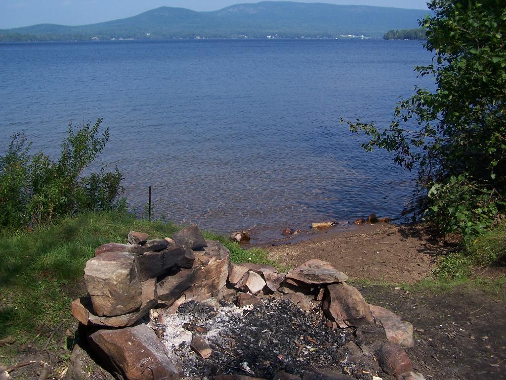
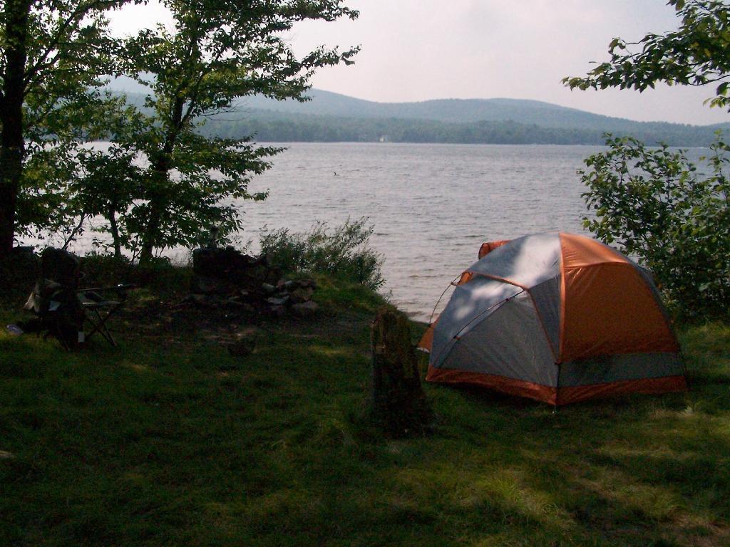
The site on the water has great views, a little fireplace, and lots of space for setting up two or three tents. It’s just as much a paradise as the photo suggests.
“Camp Here” marker shows that this is a designated site. When your in the Catskills or Adirondacks they tend to be fairly strict about the 150 feet rule from water and roads, unless you are a designated site.
Down by the lake in the afternoon. Imagine a book in my hands, and you can see how relaxed I am.
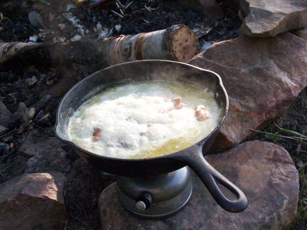
Cookng some dinner on my camp stove. Tonight I’m having sausage in Rice-a-Roni. The image makes it look like some kind of sinster stew that I’m making up, make out of small children I boiled up and mixed with grits. It’s not that for sure, and was far more delicious.
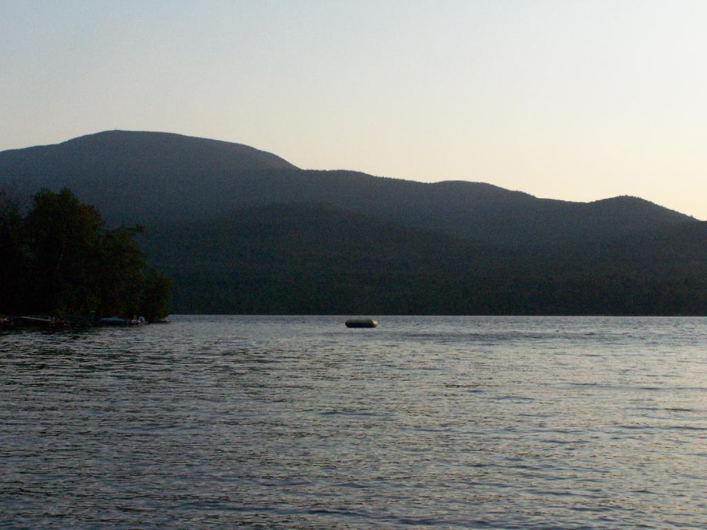
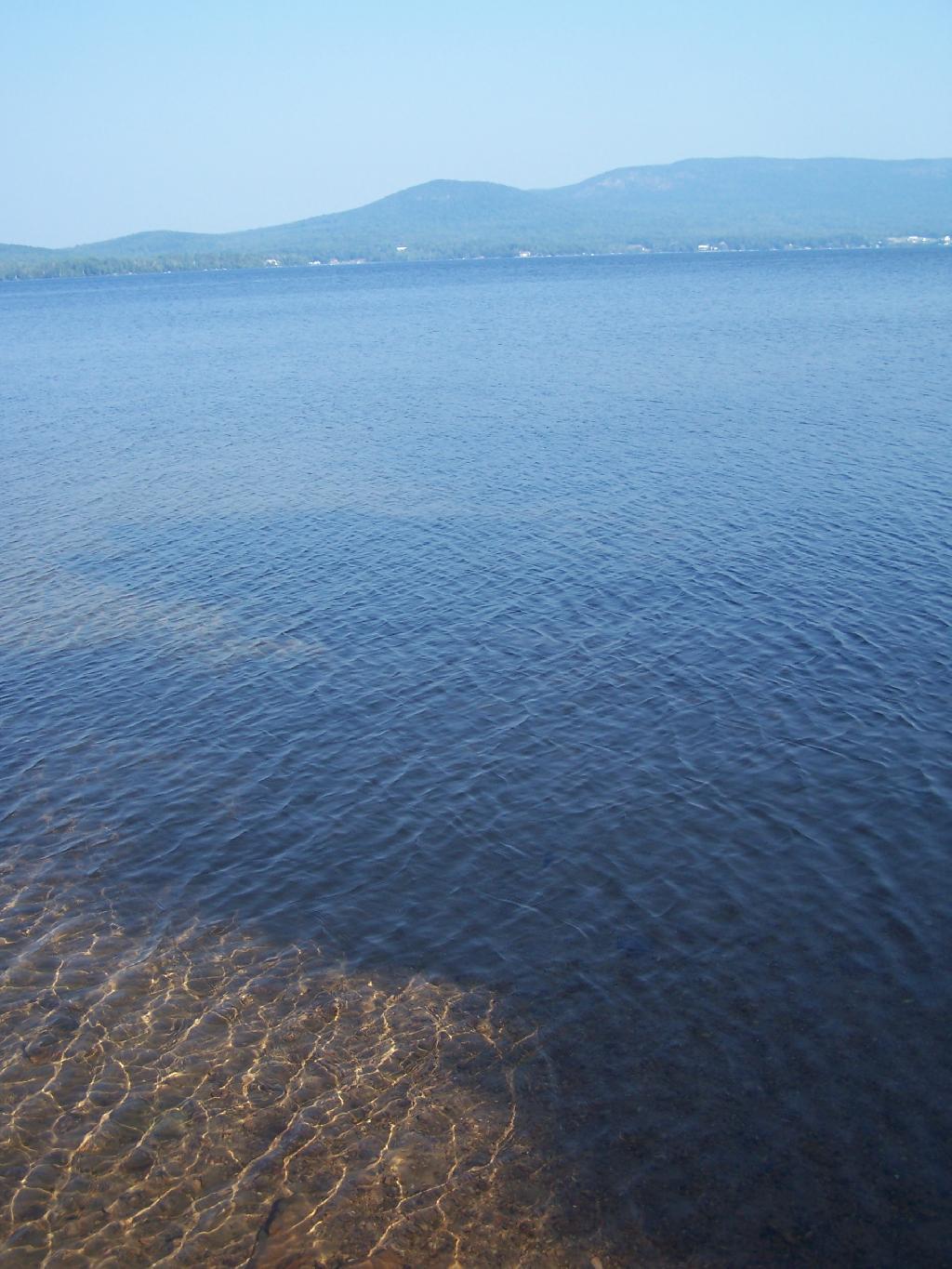
If you go out in the lake a little ways for a wade, you get a good view of Lyon Mountain. The water is shallow, and if it’s as hot as it was when I was there, truly delightful. While you will have to drive approximately 10 miles around the lake to get to the parking area to climb Lyon Mountain, but it’s beautiful with the fire tower up top.
Sitting down at the lake you could hear the errie call of the loon.
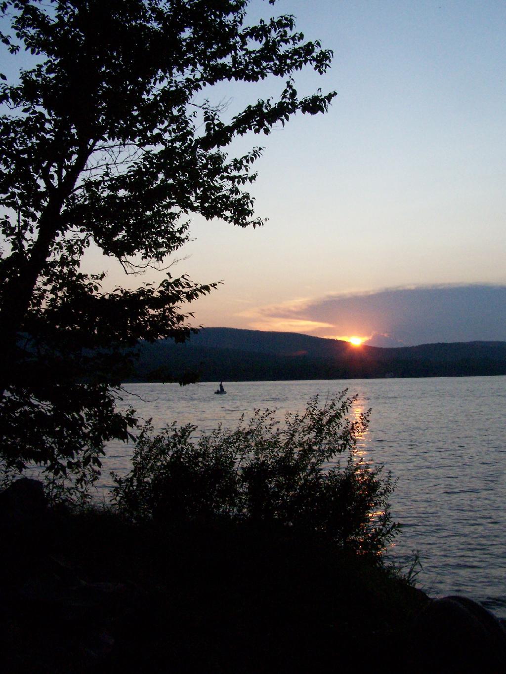
The site has good south-west views over the Lyon Mountain where the sunsets in the evening. The sunsets from here are amazing, as you watch the fire burn. The wood supply is limited, so you may consider packing in your own wood supply.
The important thing is that if you go there, make sure to drive all the way to the end of the road, past where the blacktop ends and after where the state forest starts. You will know when your there, and if you don’t see signs for the state parcel or the campsites, you haven’t driven far enough.
Also, while it’s posted against driving motor vehicles past the parking lot, as it is a private driveway, you can drive almost up to the lake front campsite if you don’t want to walk with the stuff in. That said, it’s only about a 1/4 mile hike from the parking area, so it’s fine to make multiple trips throughout the night and day like I did.
Here is the site on Google Maps. The hikers are where you park, the trail follows the driveway for a while, and then turns for about 150 feet to the campsite right on the water.
The first night of my vacation it was very hot and sticky out. By the time I had reached Plattsburgh I decided I would just find a campsite at Cumberland Head State Park. I probably could have gone to a nicer state park, such as Malcom Reservation or AuSable Point, but I wanted to be close to Plattsburgh and spend a lot of time visiting old haunts in the town and up at Point Au Roche.
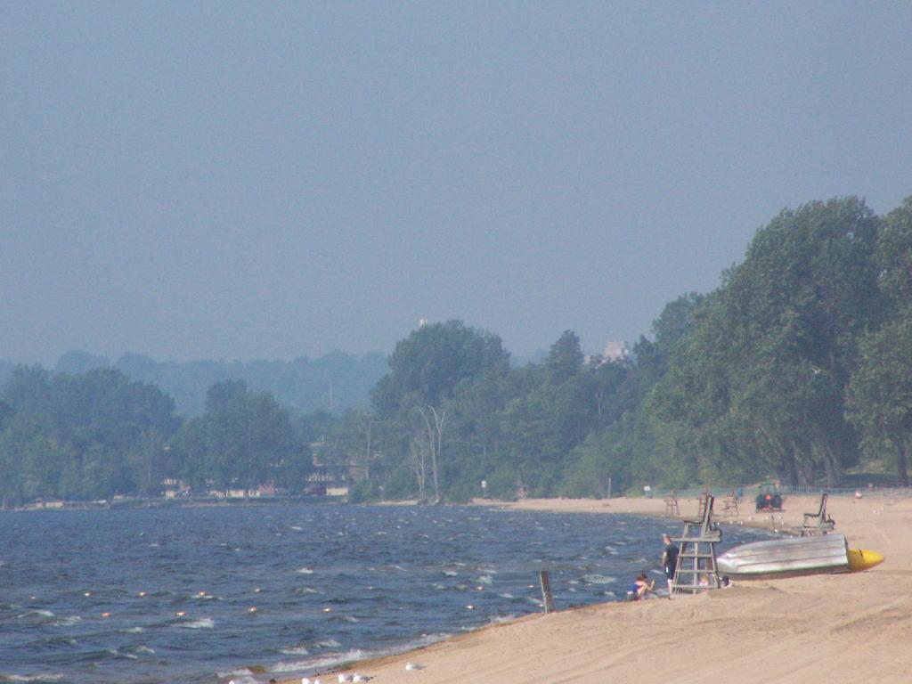
Once I got there I dug out my swimming truck, and ran for the swimming beach, as I was hot! Driving up from Albany in all the heat and humidity, I got a terrible sunburn through the windows of my truck. I also don’t have air conditioning, and the humidity was pretty extreme on this Sunday morning.
The water was nice. The campsites on Cumberland Head State Park are pretty close together, and are like camping in a giant field with a bunch of other people. I’m not a fan of state campgrounds at any rate, but it beat trying to hike up Pok-O-Moonshine and look out to nothing from the fire tower.
If you want cheap digs near the City of Plattsburgh, then you can’t beat Cumberland Head State Park. It’s only $15 a night, plus a $2.50 service charge for the first night, and is within a mile from downtown. The beach is nice, and when it’s not so damn hazy, the view of the mountains is amazing. That said, I’m not a fan of state parks, especially the “extreme enforcement” of quiet hours, but those showers are nice in such hot weather.